Friday October 2, 25.0mi/40.2km
Woods Creek Swingbridge (799.9/8547ft) to Tyndall Creek campsite (774.9/10974ft) (CA)
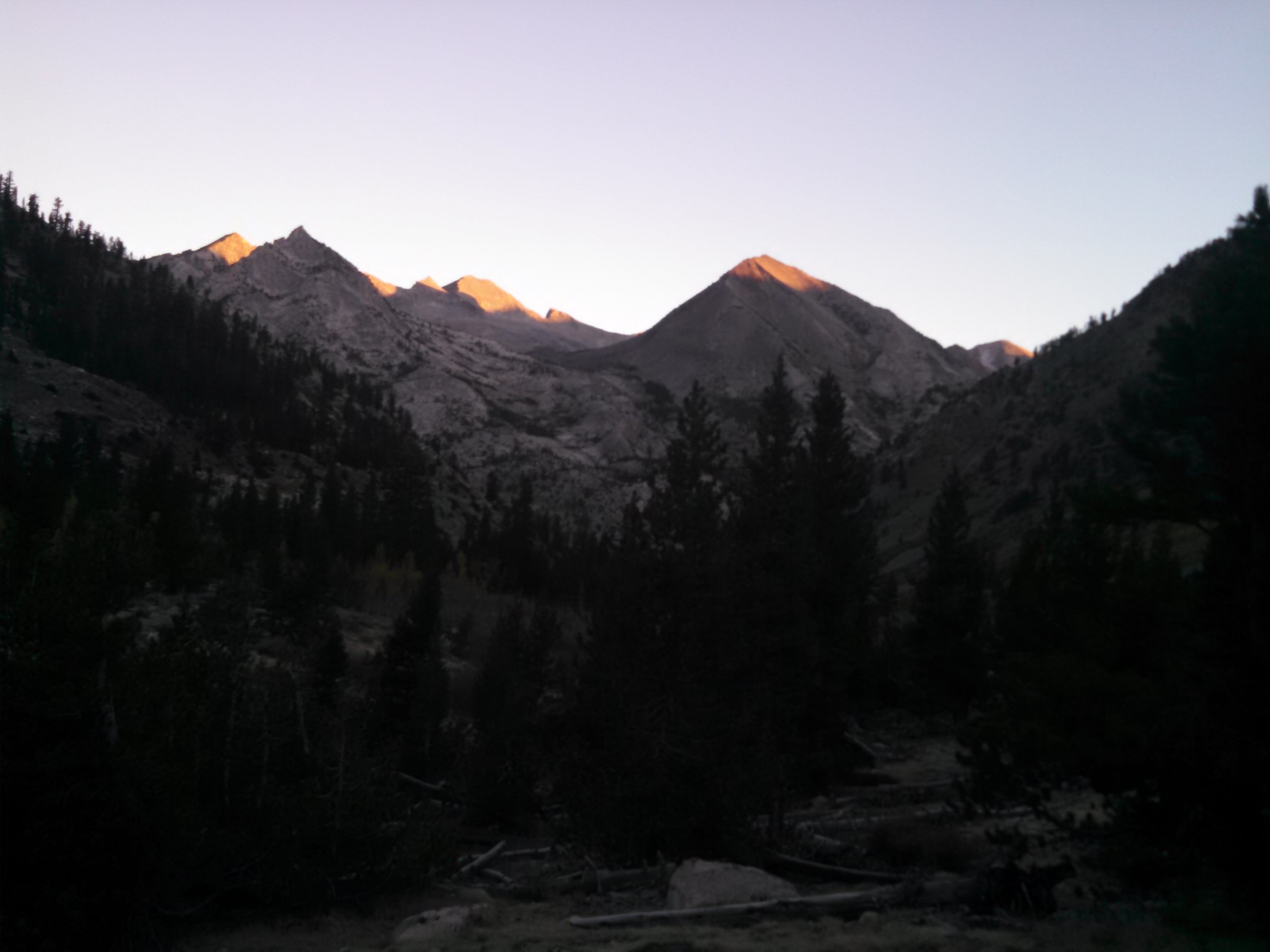
The big day! Today is another two-pass day, as we will hike over both Glen Pass (11,950ft) and Forester Pass (13,200ft), which is also the highest point on the PCT. Cheshire Cat and I left camp at 6:45am, just before sunrise. The tops of the mountains were alpenglow pink!
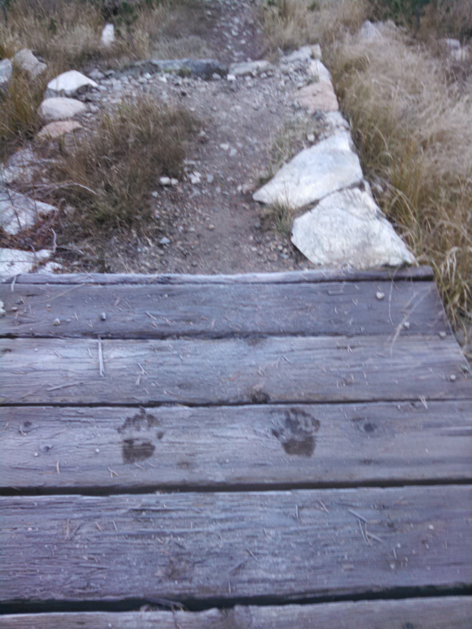
Bonus Miles had left camp probably an hour before we did, but we could still see her handprints on the frosty fridge. Bridge pushups leave behind evidence, haha!
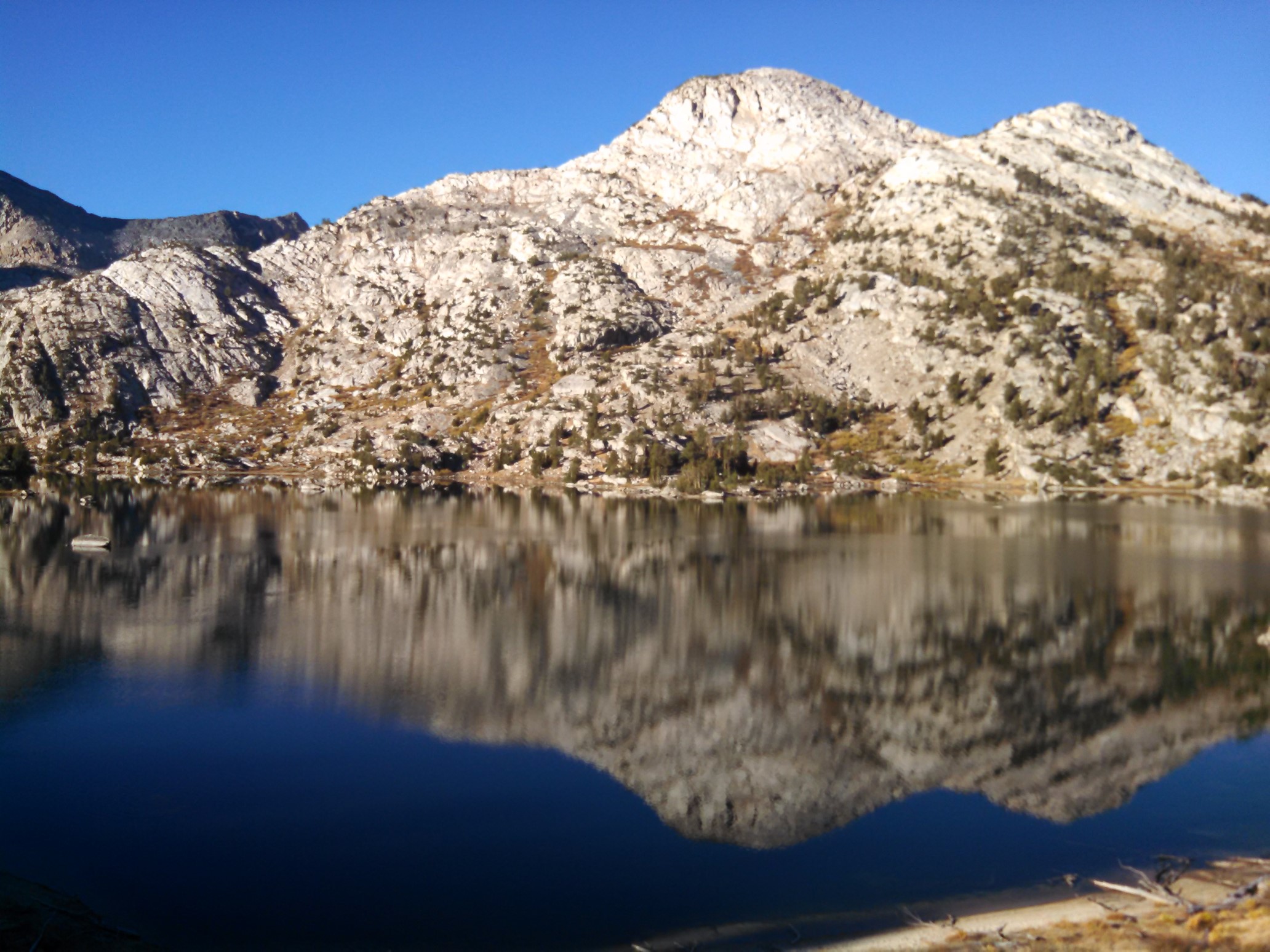
The Rae Lakes are always a spectacular scene.
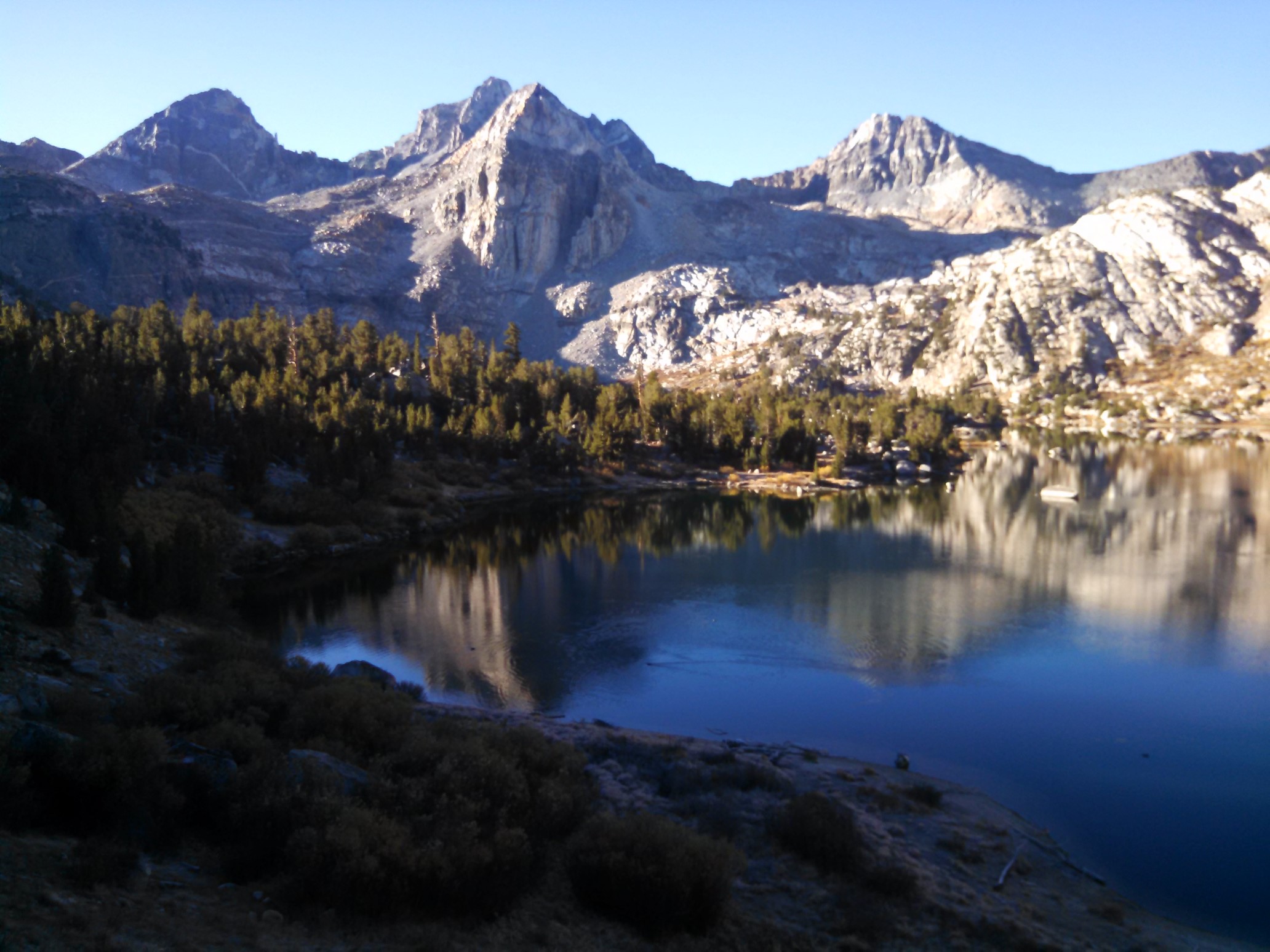
Looking down on one of the Rae Lakes, with Glen Pass in the right background.
The camera didn’t quite capture the intensity of the blue color in this small tarn.
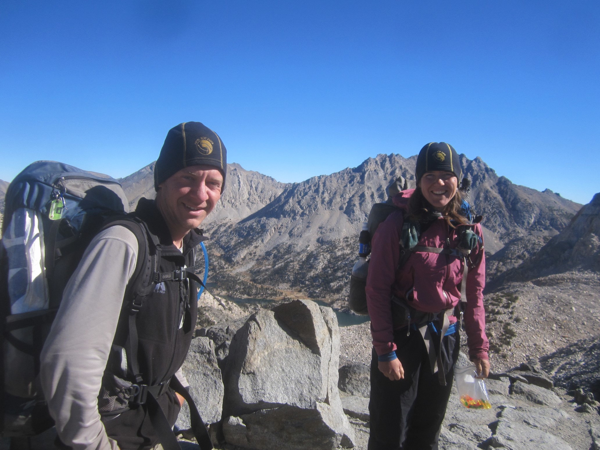
I caught Bonus Miles just before the top of Glen Pass, and we hiked it to the top and waited for our third. Cheshire Cat showed up and we had a small feast of junk food, as several JMT hikers watched us devour thousands of calories in less than 10 minutes. They were fun to talk to, but we had many miles to go!
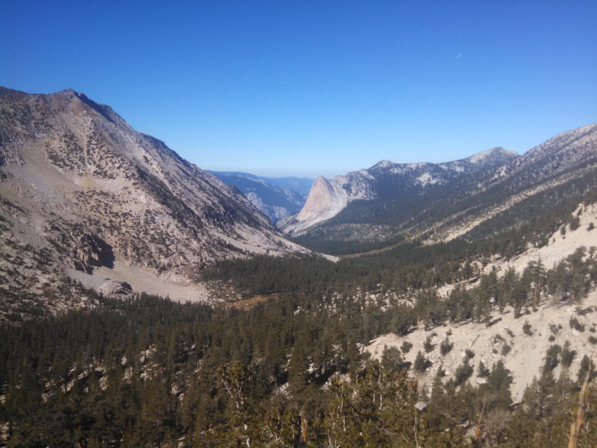
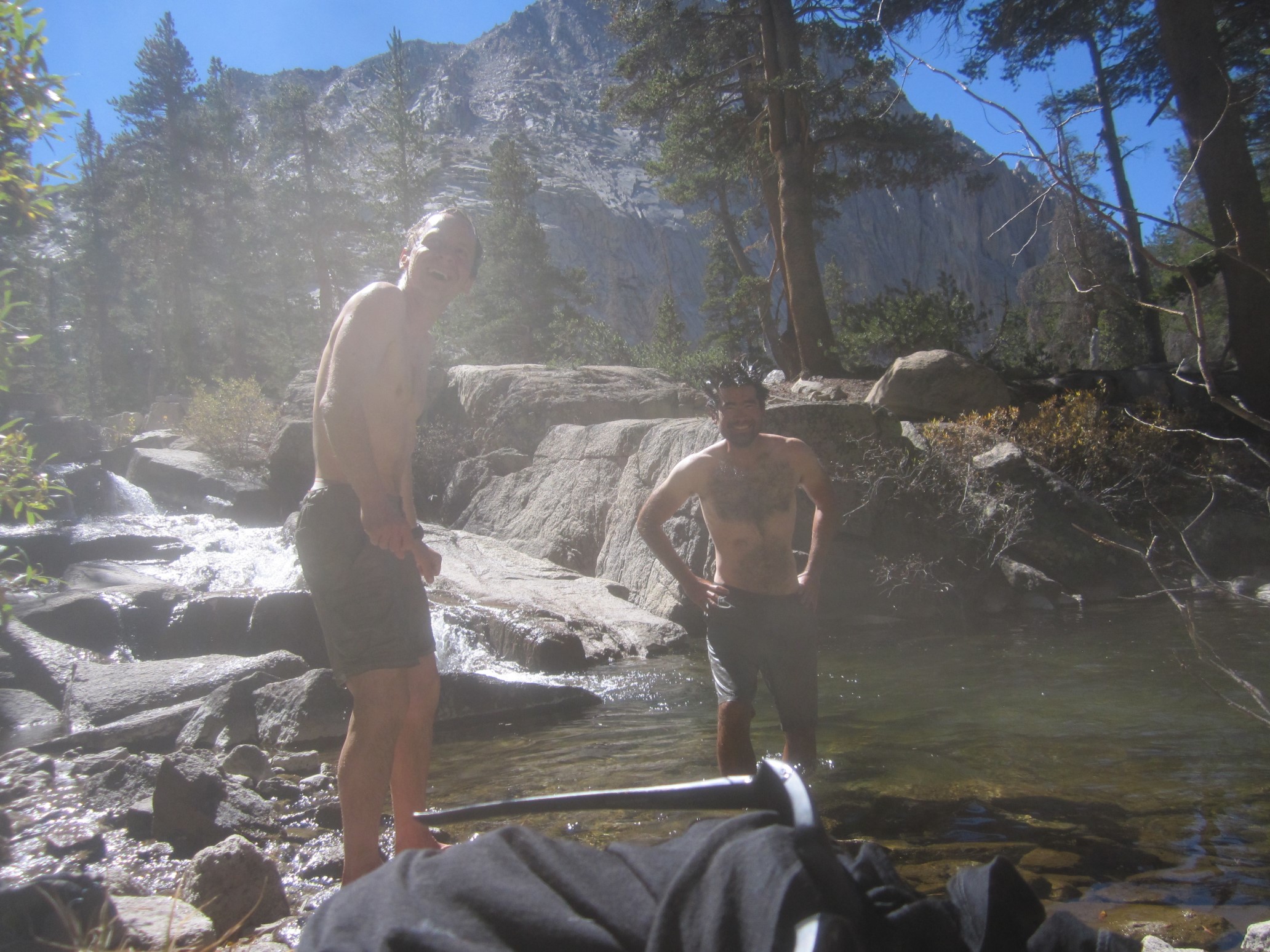
The 11 miles from Glen Pass to Forester Pass are fairly easy, and we walked and talked together in the warm day. The little thermometer on my backpack said it was 70F/21C. The trail followed Bubbs Creek upstream, and by early afternoon a swim sounded like a wonderful idea. The water was extremely “refreshing” though, so it only lasted a couple of minutes.
Bonus Miles didn’t stop to swim, so we made it a game to try and catch her before the top of Forester Pass. We came close, just one switchback ahead!
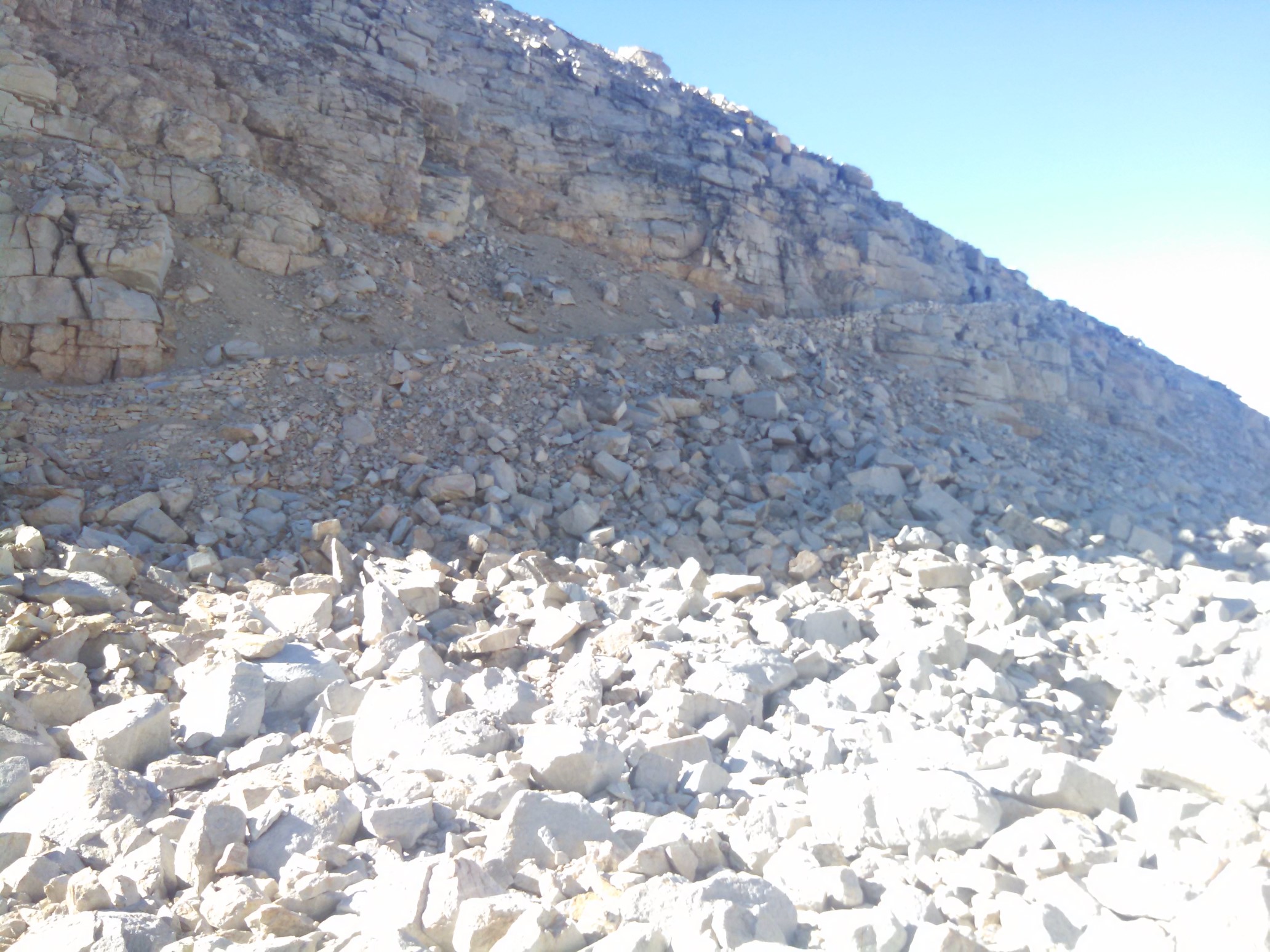
The top of Forester Pass (13,200ft), and the highest point on the PCT!
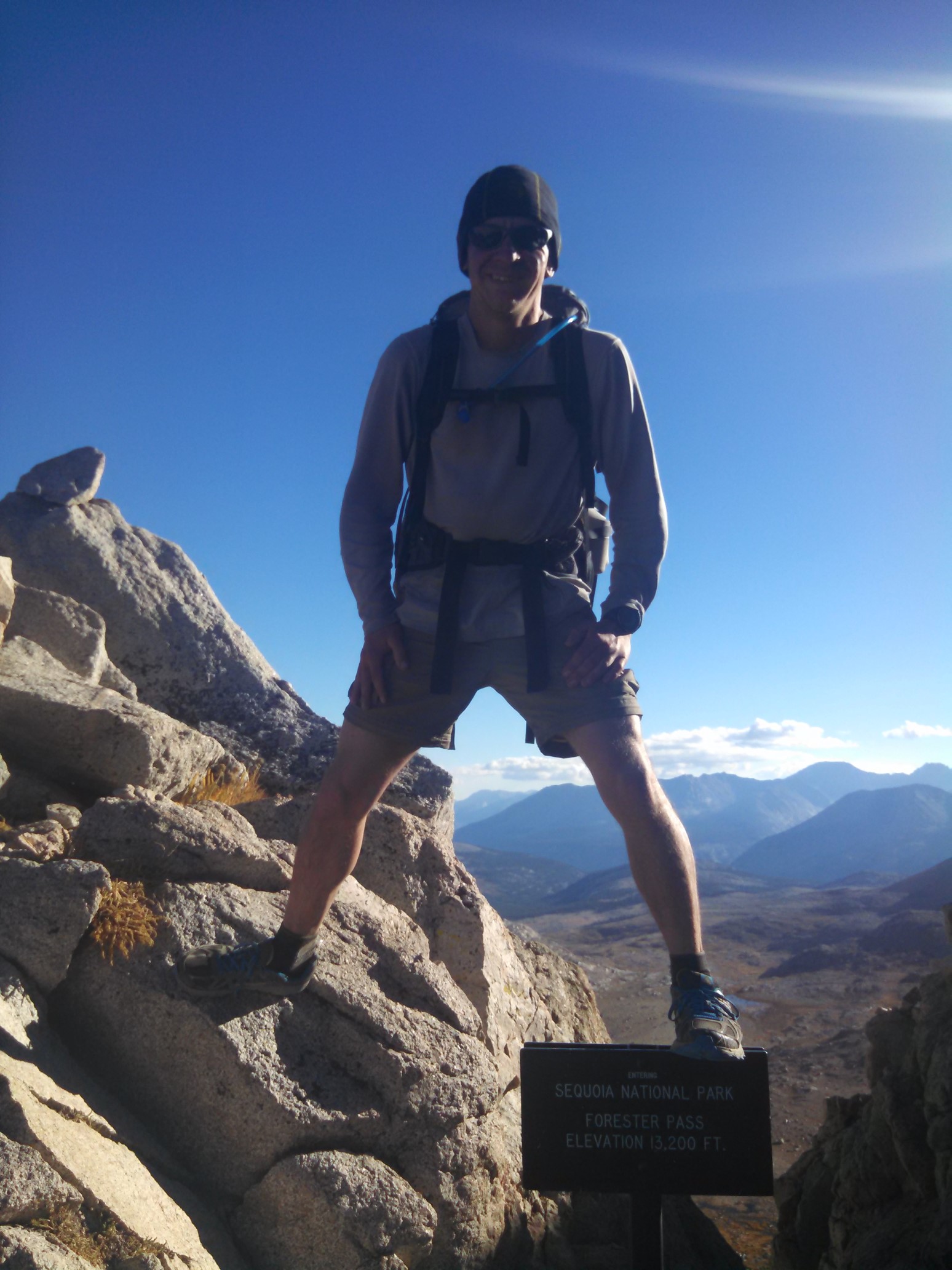
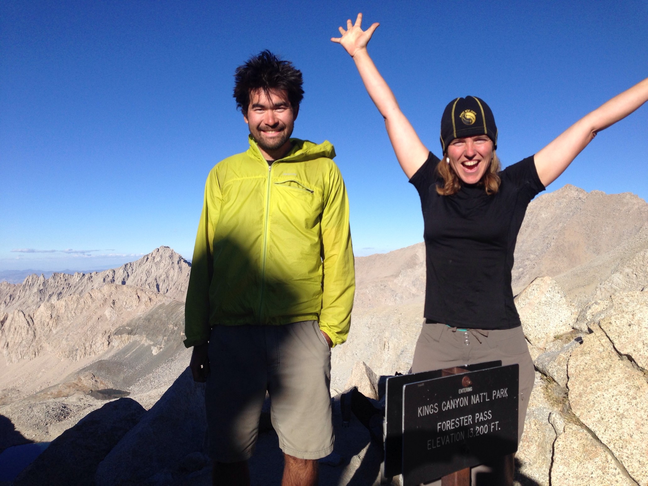
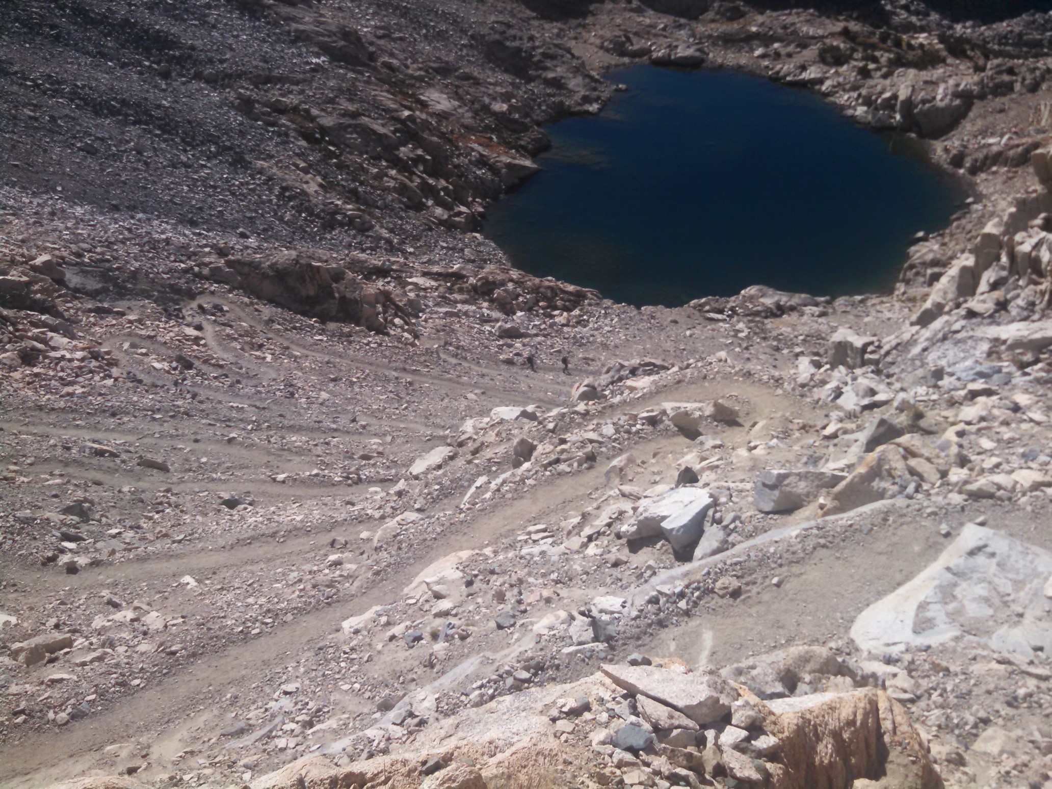
I was shocked to see no snow on the other side of Forester Pass. When I came through here in June, this entire hillside was white!
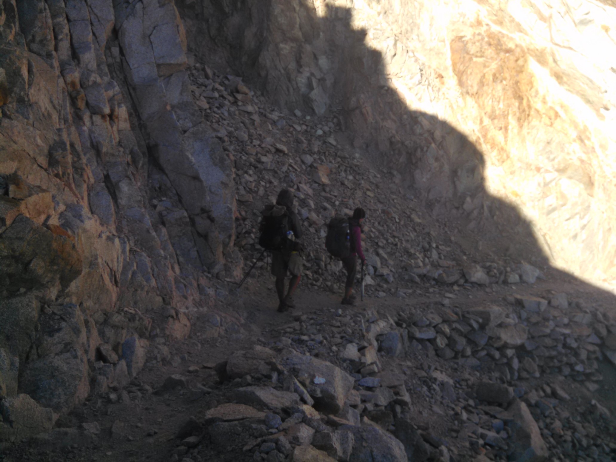
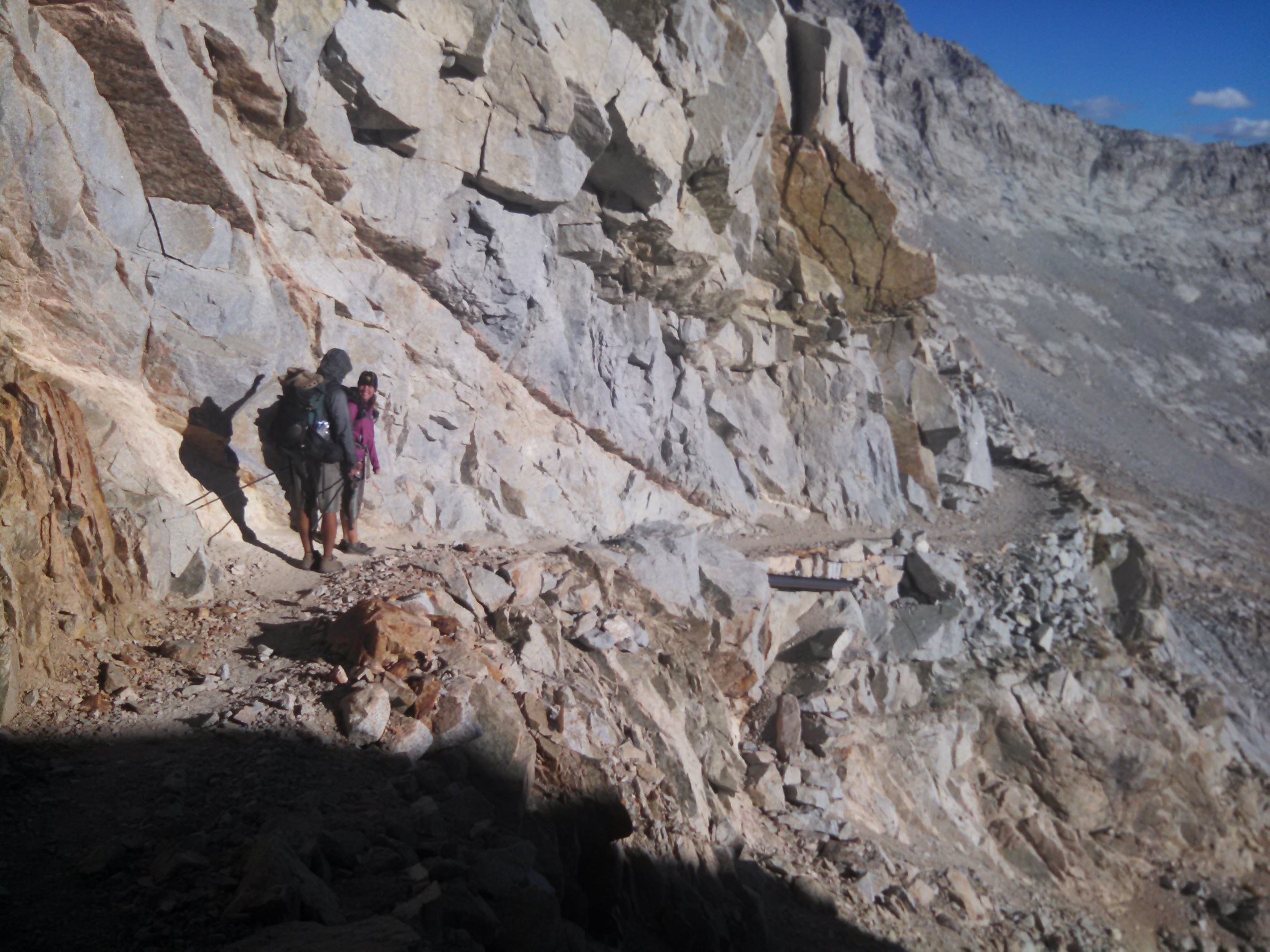
Someone did a ton of work blasting this trail into the side of the mountain. It was easy walking, but we were still careful to avoid the edge.
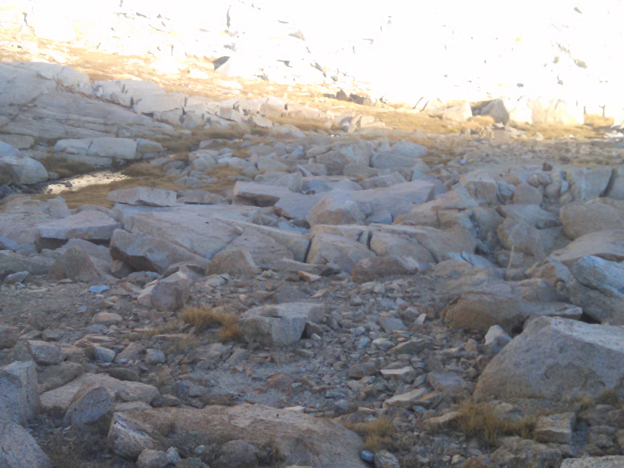
From the pass it was only 5 downhill miles to camp, and we had a relaxed hike into the Tyndall Creek valley. There were plenty of rock fields along the way, so I kept on the lookout for marmots, and I actually saw one!
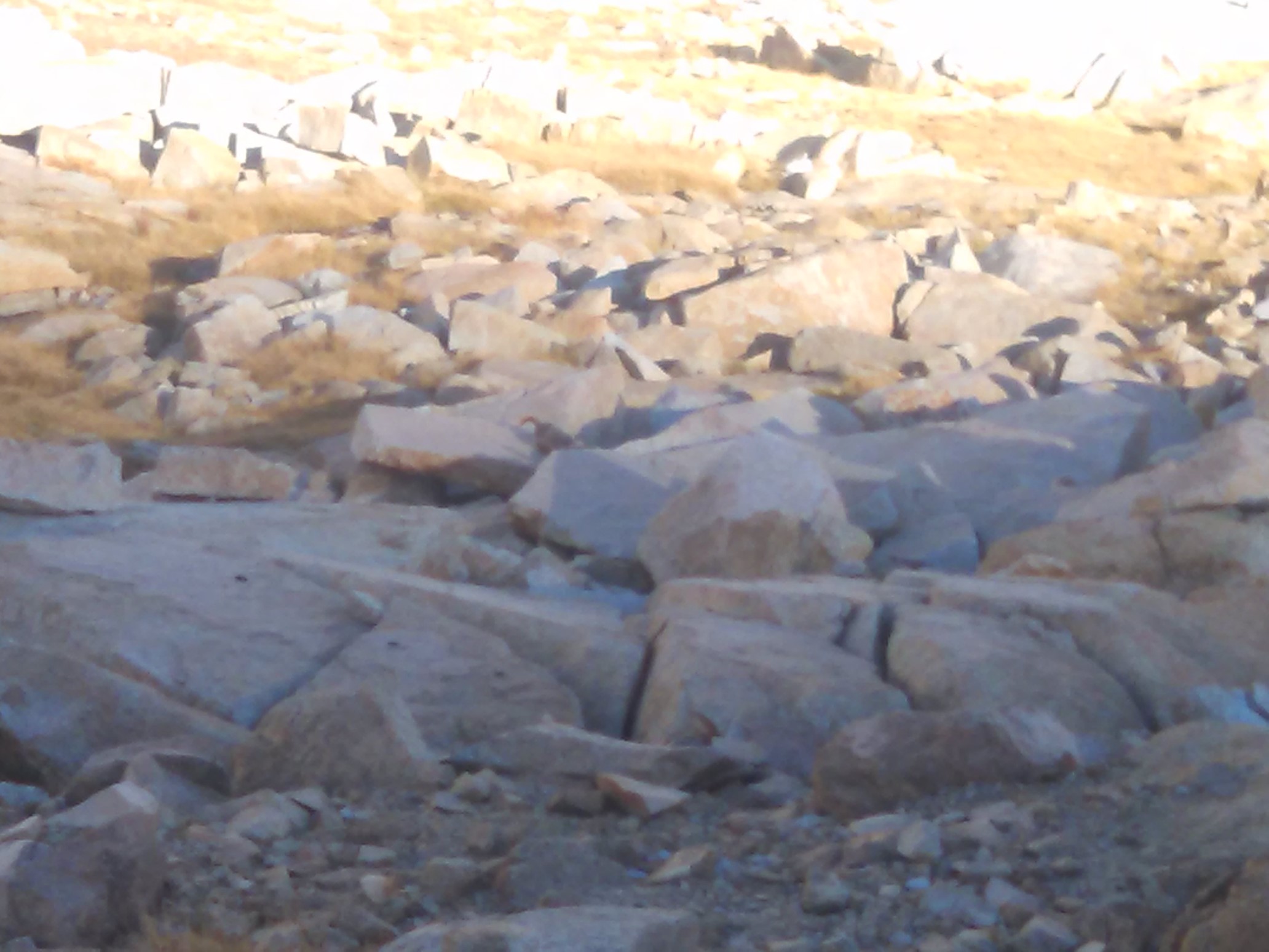
It’s hard to see, but the marmot is in the exact center of this photo.
We hiked until sunset, which is about 6:30pm nowadays. We setup camp at an established spot with a bear box, after a 25 mile day! We’ve managed to camp at bear box campsites the last three nights, I think with some better planning it would be possible to hit one every day, eliminating the need for a bear canister. Tomorrow, Mt. Whitney!