Saturday October 3, 30.6mi/49.2km
Tyndall Creek campsite (774.9/10974ft) to Rock Creek Camp (760.6/9537ft) + 16.3mi side trail to Mt. Whitney (CA)
It was so cold last night! My little zipper thermometer showed 25F/-4C this morning at camp. I was feeling a little sore and tired after two consecutive days of hiking two passes per day. But, onward to Mt. Whitney! We left camp just after 7am, and the sunlight was already intense.
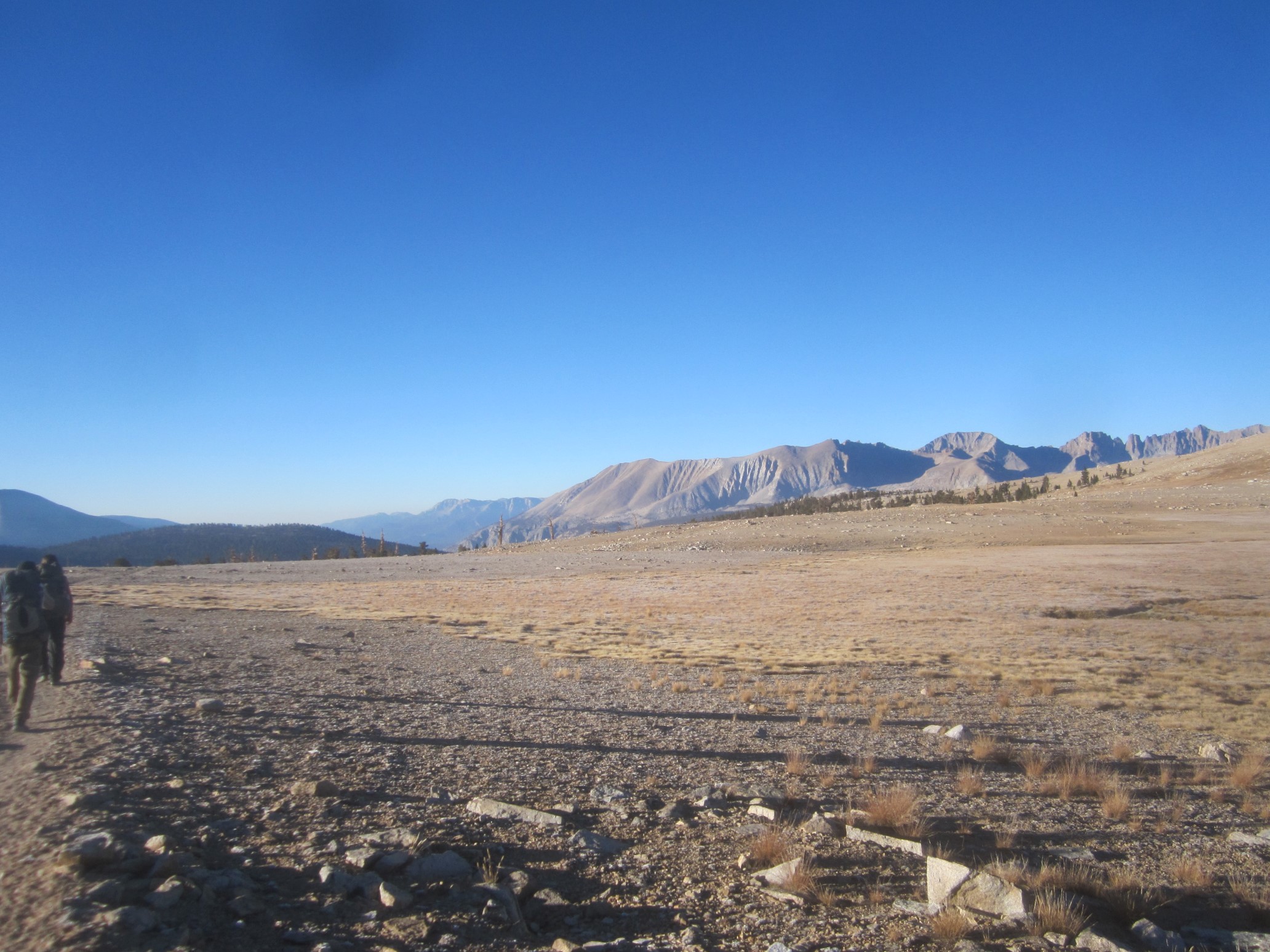
We kept a steady pace all morning, and pretty quickly we arrived to the junction with the side trail to Mt. Whitney. It isn’t on the PCT, but most PCT hikers will take the 16-mile detour to climb the highest peak in the continental US (14,505ft/4421m). It’s also the southern terminus of the JMT. The side trail to Mt. Whitney is out-and-back, so we setup our tents at this junction, as we planned on camping here tonight. The rest of our stuff we stored in a bear box, and then headed up the trail. We passed a ranger along the way, and he checked our permits – this is the first time that’s happened to me. He also mentioned a possible winter storm arriving tomorrow afternoon, or perhaps the next day. After a few miles, we were up above the valley, and had an amazing view of the Hitchcock Lakes far below.
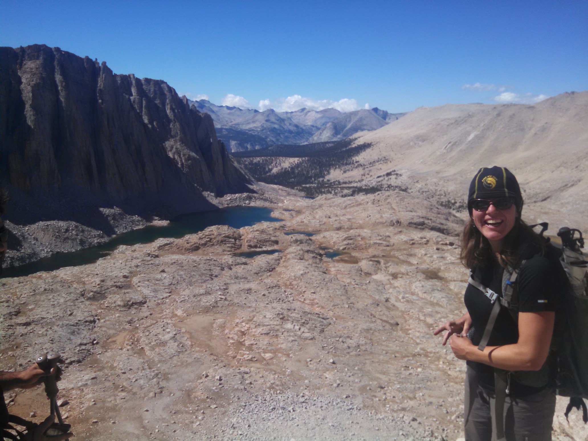
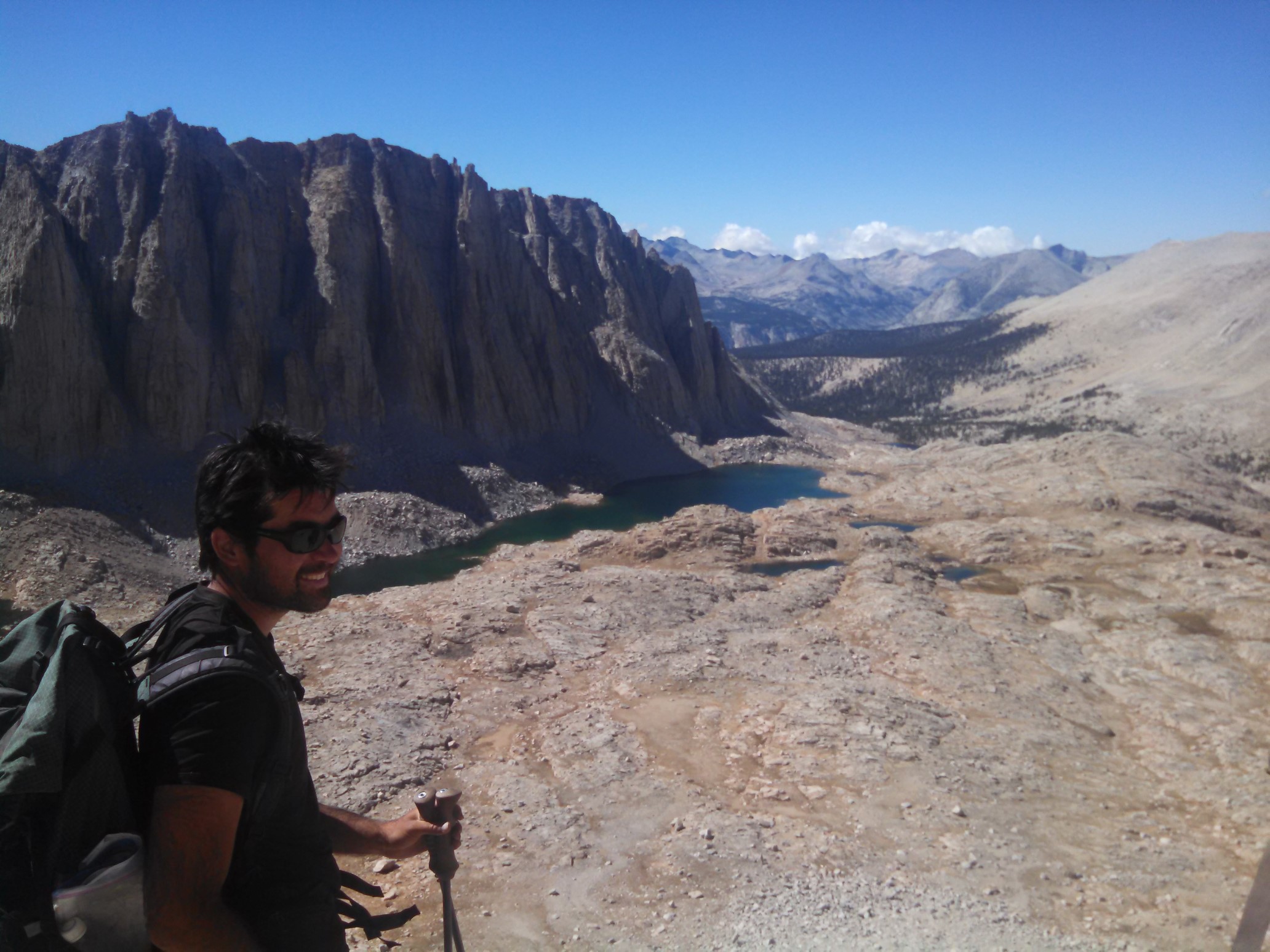
Looking west, Mt. Hitchcock is behind the lakes.
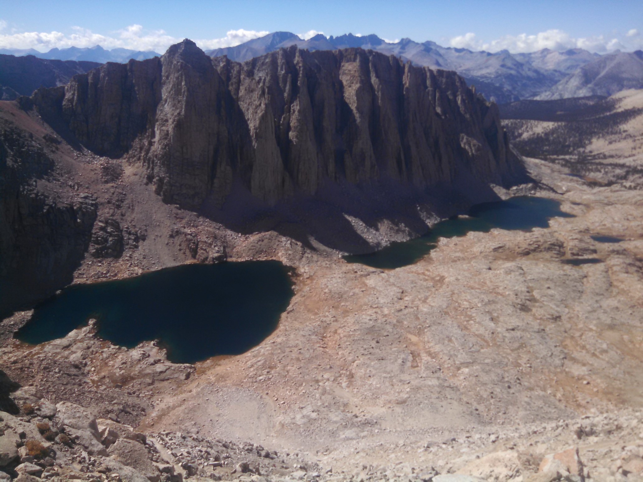
The last 2 miles of the trail to the summit is carved into the side of the mountain.
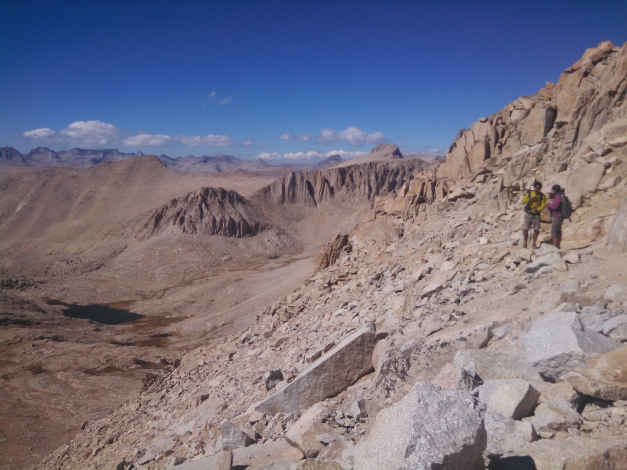
The trail traveled along the west side of the ridge, and every one in awhile, there would be a view to the east, down into the Owens Valley and beyond to Death Valley.
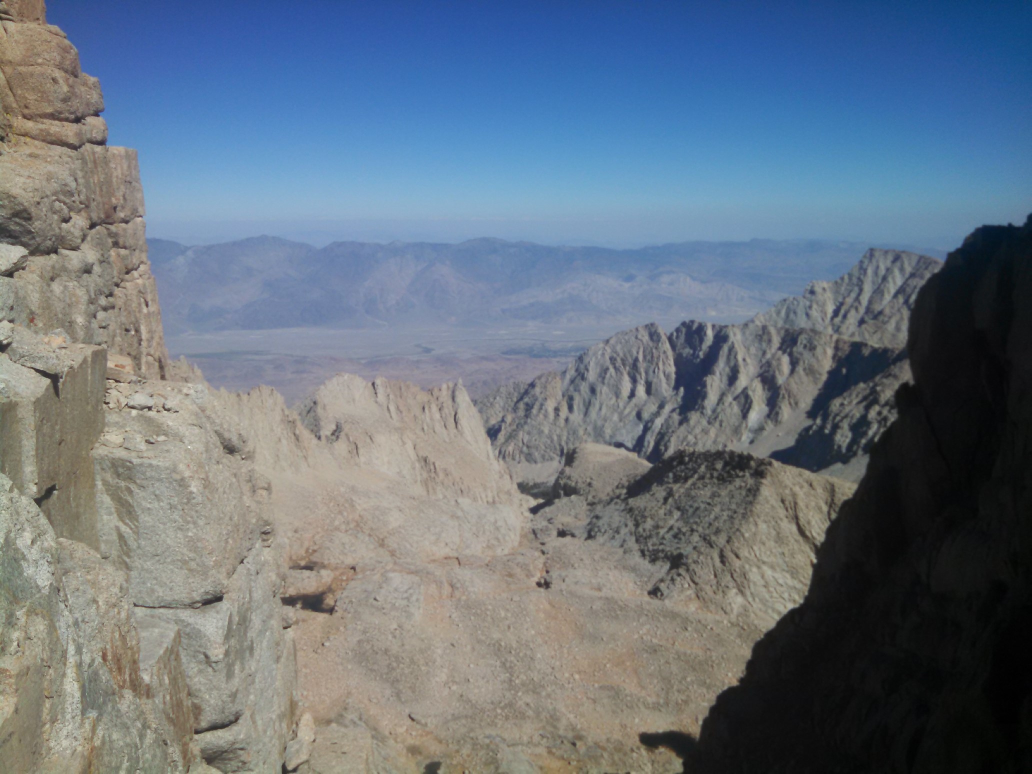
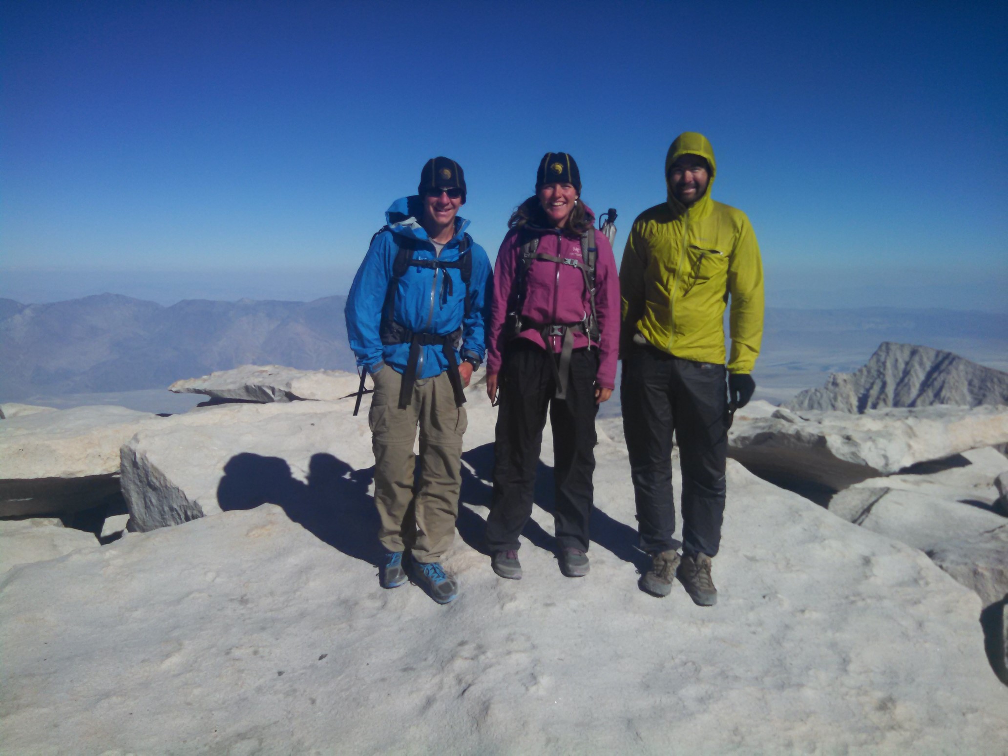
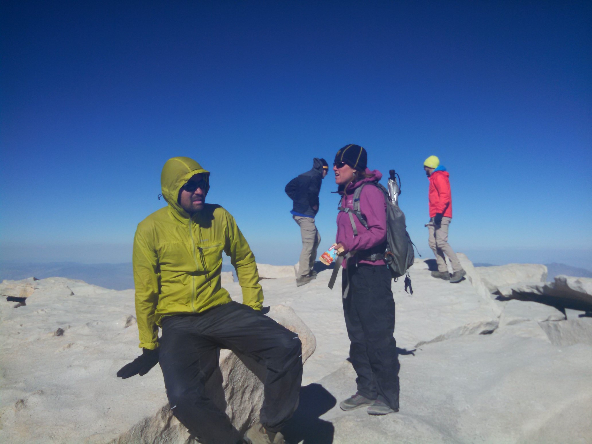
We made it to the summit pretty quickly at 3pm, and spent awhile on top talking to other hikers. Considering the elevation, it was really warm, about 60F/16C.
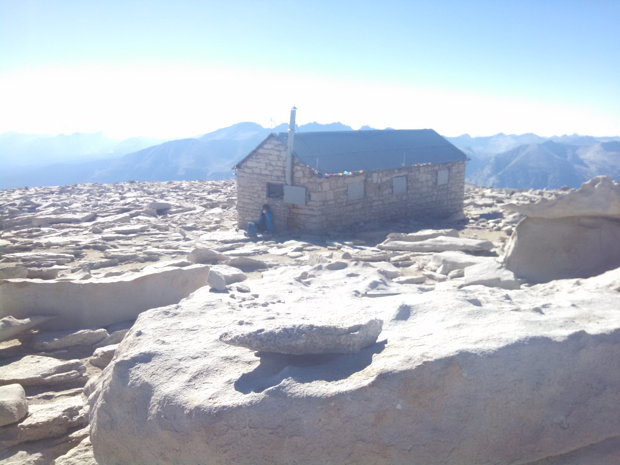
The summit has a stone shelter, which is good protection from the wind and intense sun. But it would be a terrible place in a lightning storm!
There were probably 20 other hikers on the summit on this beautiful day.
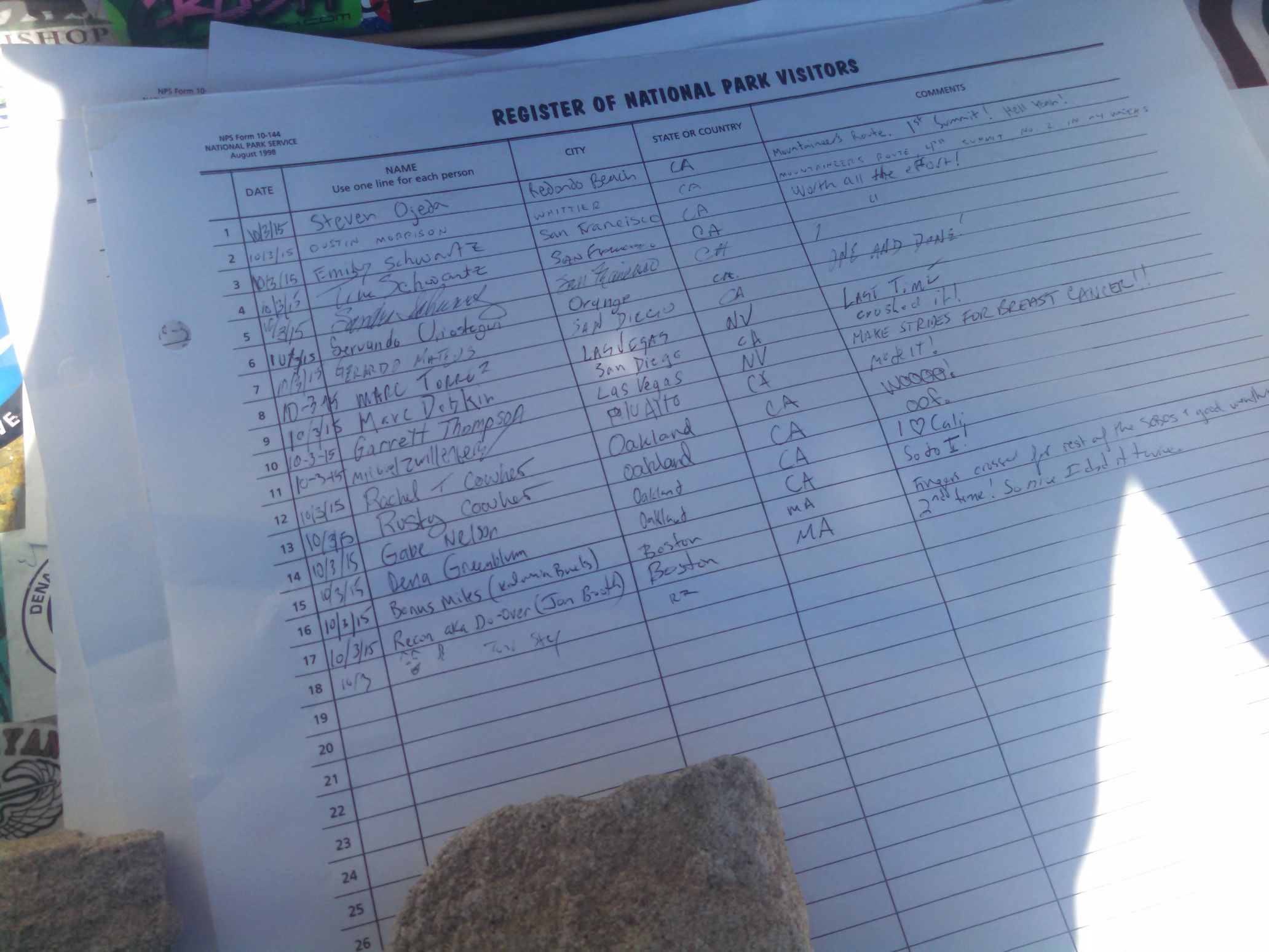
The summit shelter building also had a hiker register, I could see that most people up here are California locals, and dayhikers that had summited from the east side.
We departed the summit at 3:30pm, and returned the way we came. Bonus Miles and I were both able to get a phone signal, and confirmed that the snowstorm was arriving tomorrow morning. We arrived back to our planned campsite at 6:30pm and made dinner while we discussed our options. We had 16 more miles on the PCT to get to our exit point from the mountains, and the snow was expected to start at 11am or noon tomorrow. We decided to hike further tonight, to hopefully be done hiking by noon tomorrow. So, we packed up camp, drank some caffeinated beverages, switched on our headlamps, and headed out into the night. Everyone was really energetic, I think from both the caffeine and the accomplishments of the last two days. We hiked another 6 miles, stopping after 10pm at an established campsite. With a bear box, of course. Tomorrow we will have “only” 10 miles/4 hours of hiking to do, so hopefully we are out before the storm!