Day 1: (Saturday May 6th) 7.0mi/11.3km
Chittenden Park (0.0) to Nut Plains Woods (7.0)
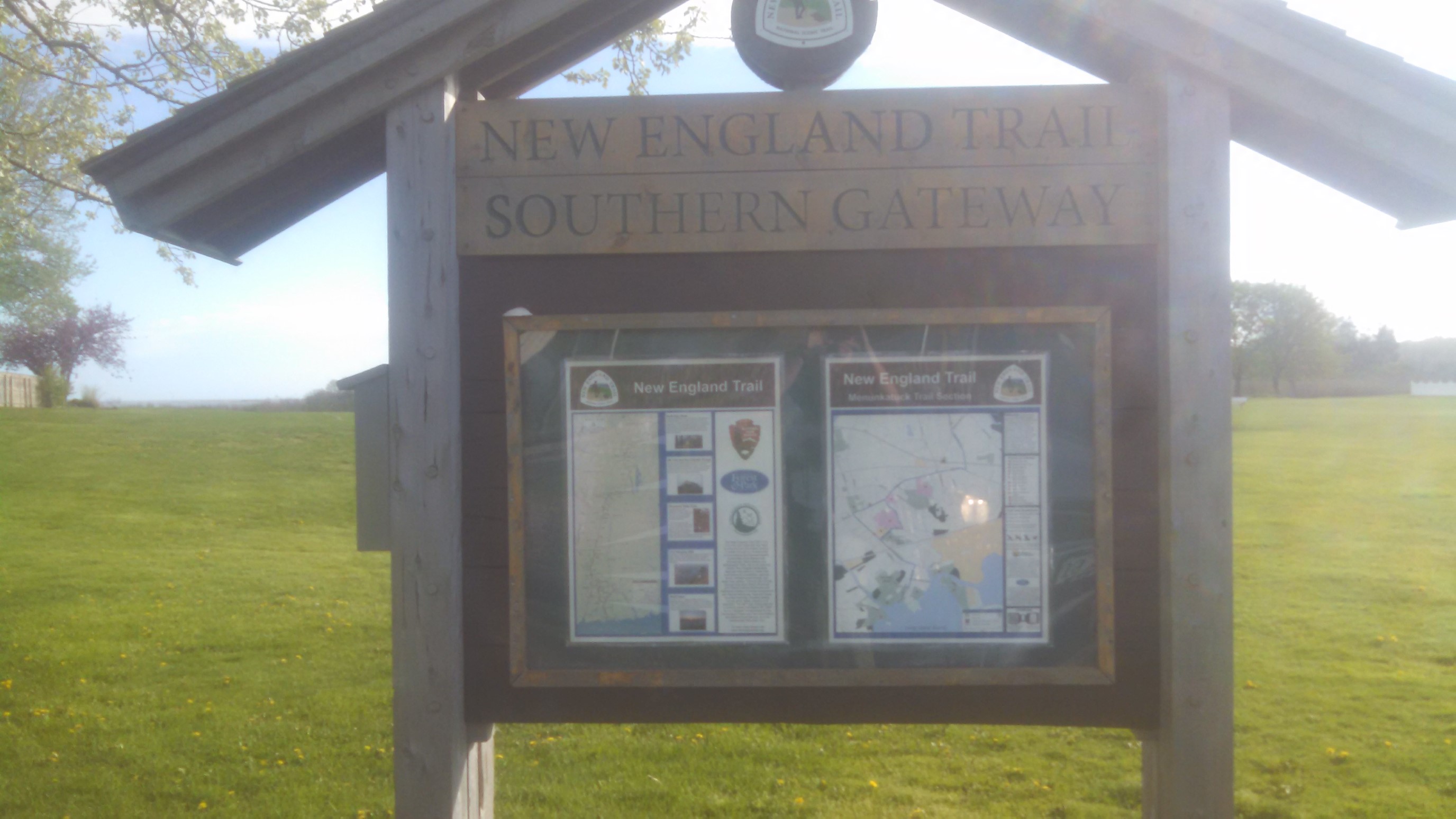
I arrived to the parking lot at 5:30pm, and made the short walk over to the Southern Terminus of the trail! From here, the trail travels north for 215 miles, which I aimed to complete over 6 weekends.
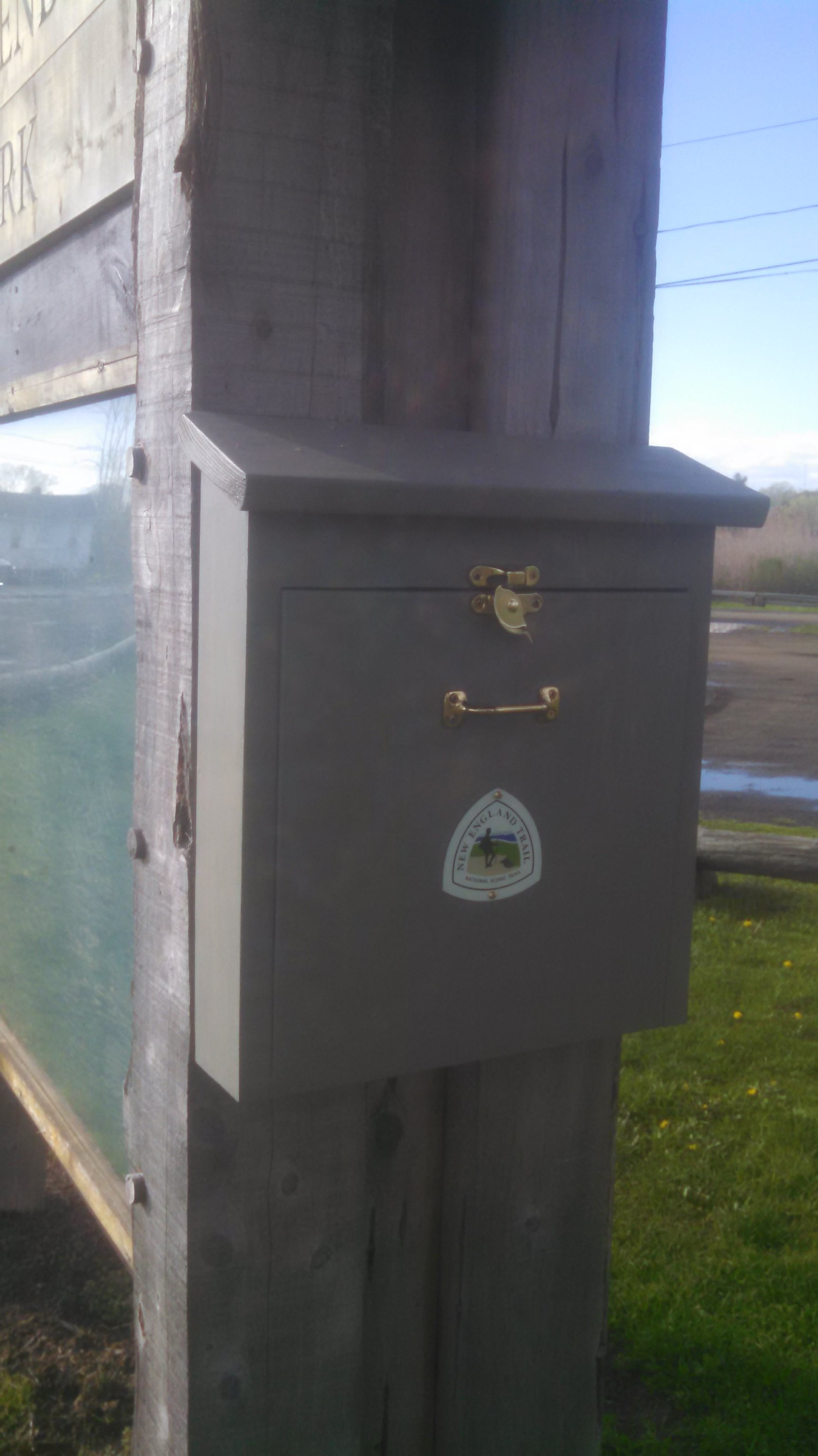
There was a trail register, and I signed in to make it feel “official”.
Then, as I was walking away up the gravel path, a friendly couple saw me with a large backpack, and asked where I’m going. I described how this path is part of a larger trail which travels all the way to New Hampshire. They’re impressed, but also advised me to move my car – there’s no overnight parking anywhere near hear. Well, crap. So, I got back in my car and drove to the other end of this trail segment (30+ trail miles away), parked my car there, and got an Uber back to the starting monument. An hour and a half later, and I was finally ready to hike. It was now 7:15pm, and sunset was at 7:55pm…

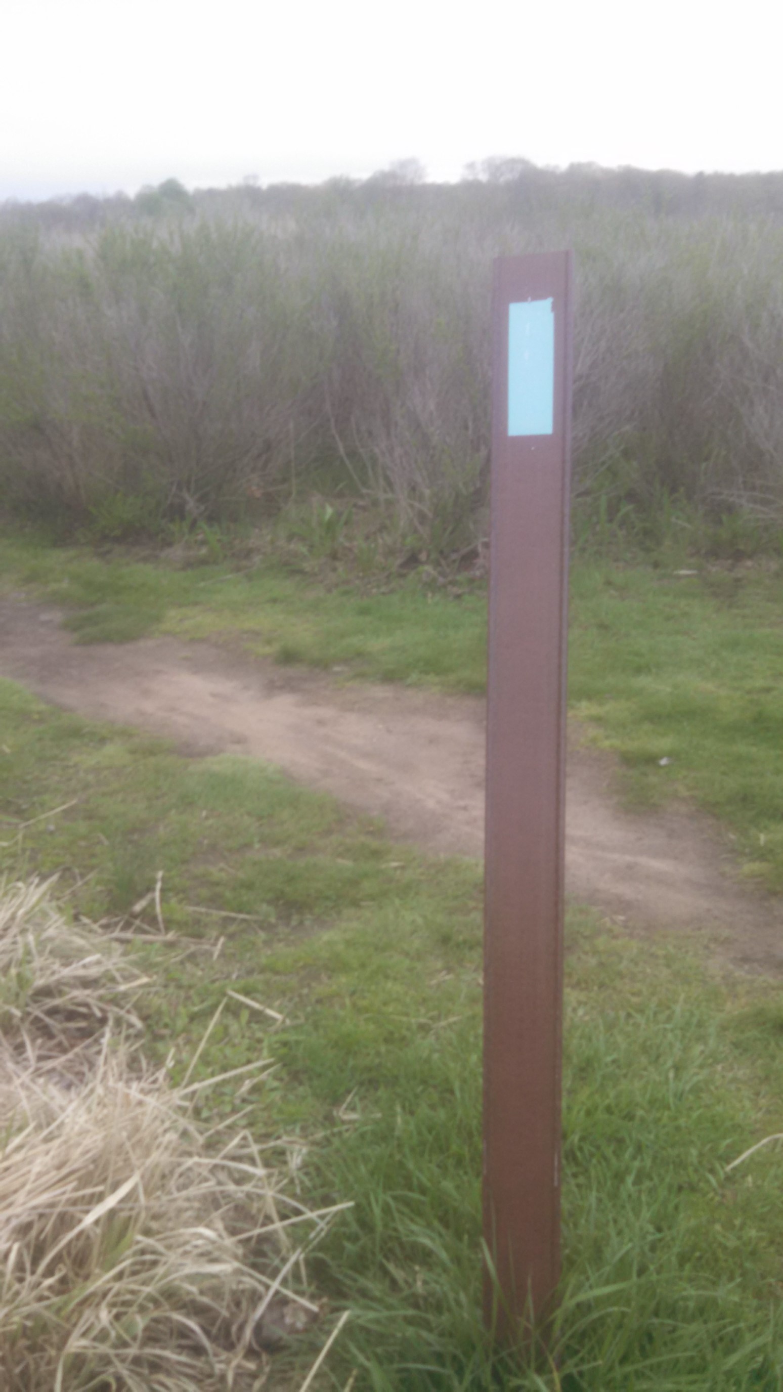
The view of the ocean was nice, though cloudy. I didn’t linger, darkness was coming! Interestingly, this trail uses blue blazes for markers (the AT uses white blazes).
The trailhead kiosk had these helpful maps for this section of trail. It was mostly road walking for the first 5 miles.
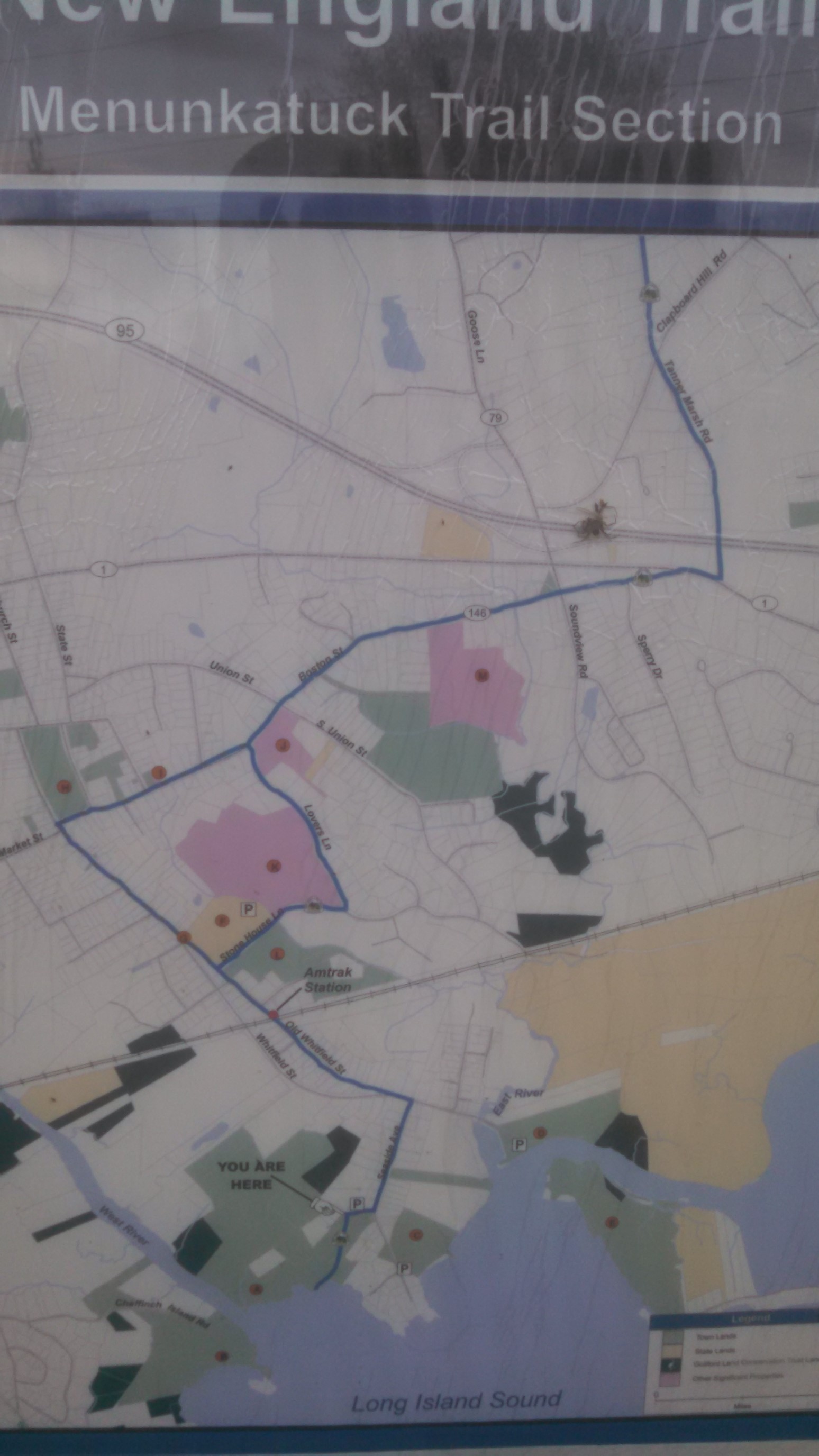
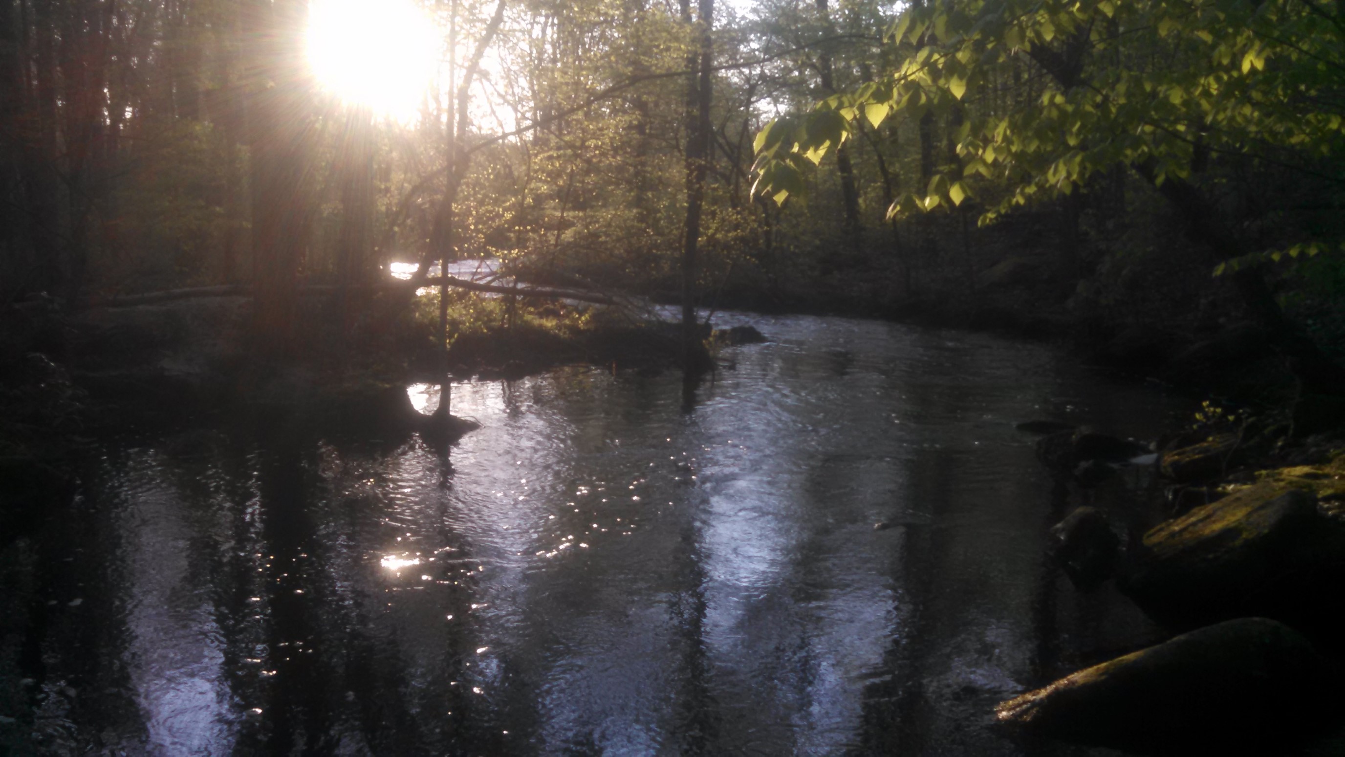
The trail started in a densely populated area, so it followed neighborhood roads, with the markings on utility poles.
I was moving fast, so I didn’t take any other photos except this one. I think it’s a small creek crossing in the dark, around 9pm.
The NET in connecticut has very limited camping, so I had to be creative.
Day 2: (Sunday May 7th) 26.4mi/42.5km
Nut Plains Woods (7.0) to Reed Gap/CT68 (33.4)
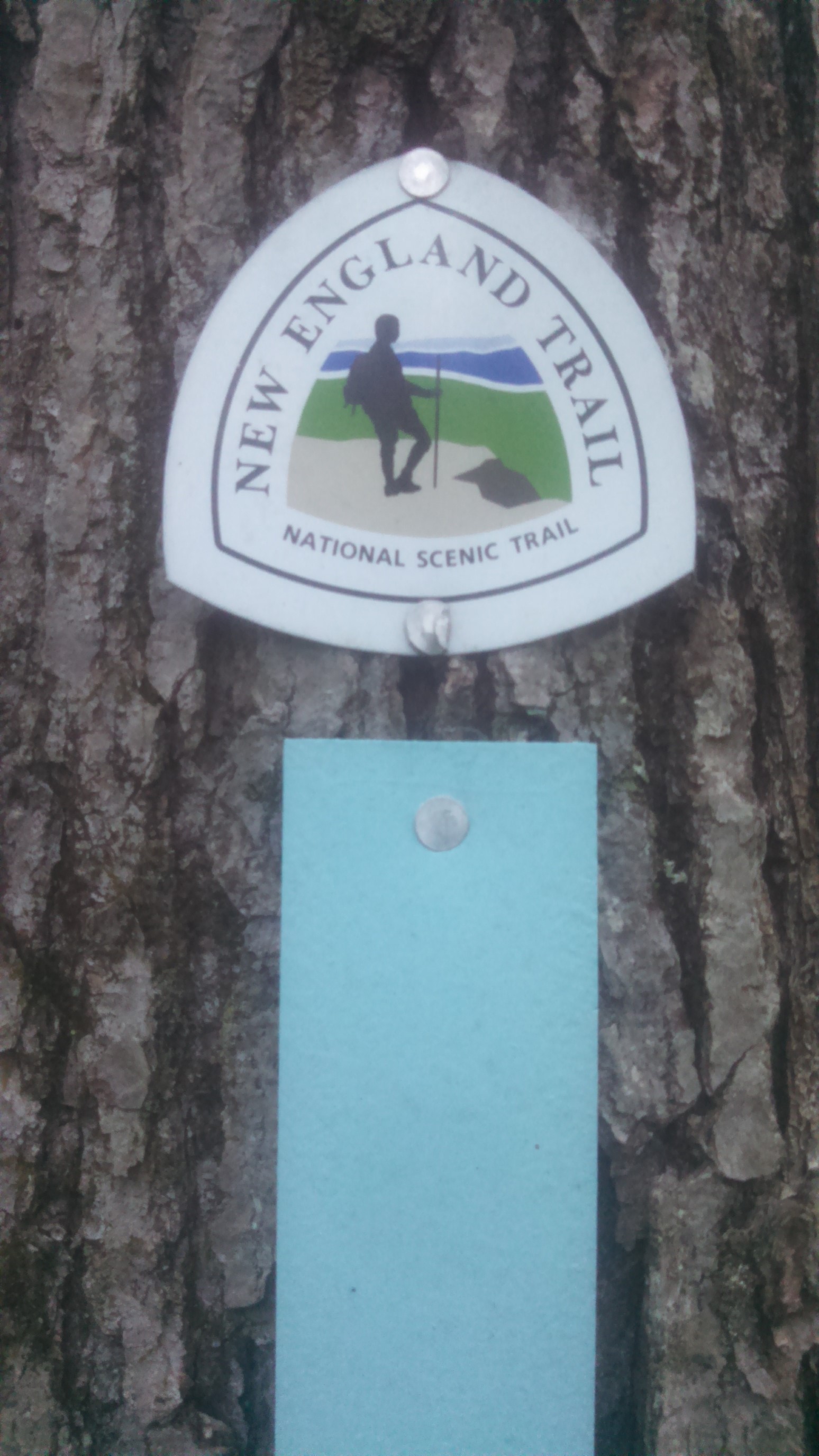
I wasn’t tired, and I was awake and 5:30am, and back on the trail by 6am. It was cool to watch the sunrise, which was about 5:45am for this area. This section of trail had both blazes and markers, and I thought the markers were a perfect representation of this trail!
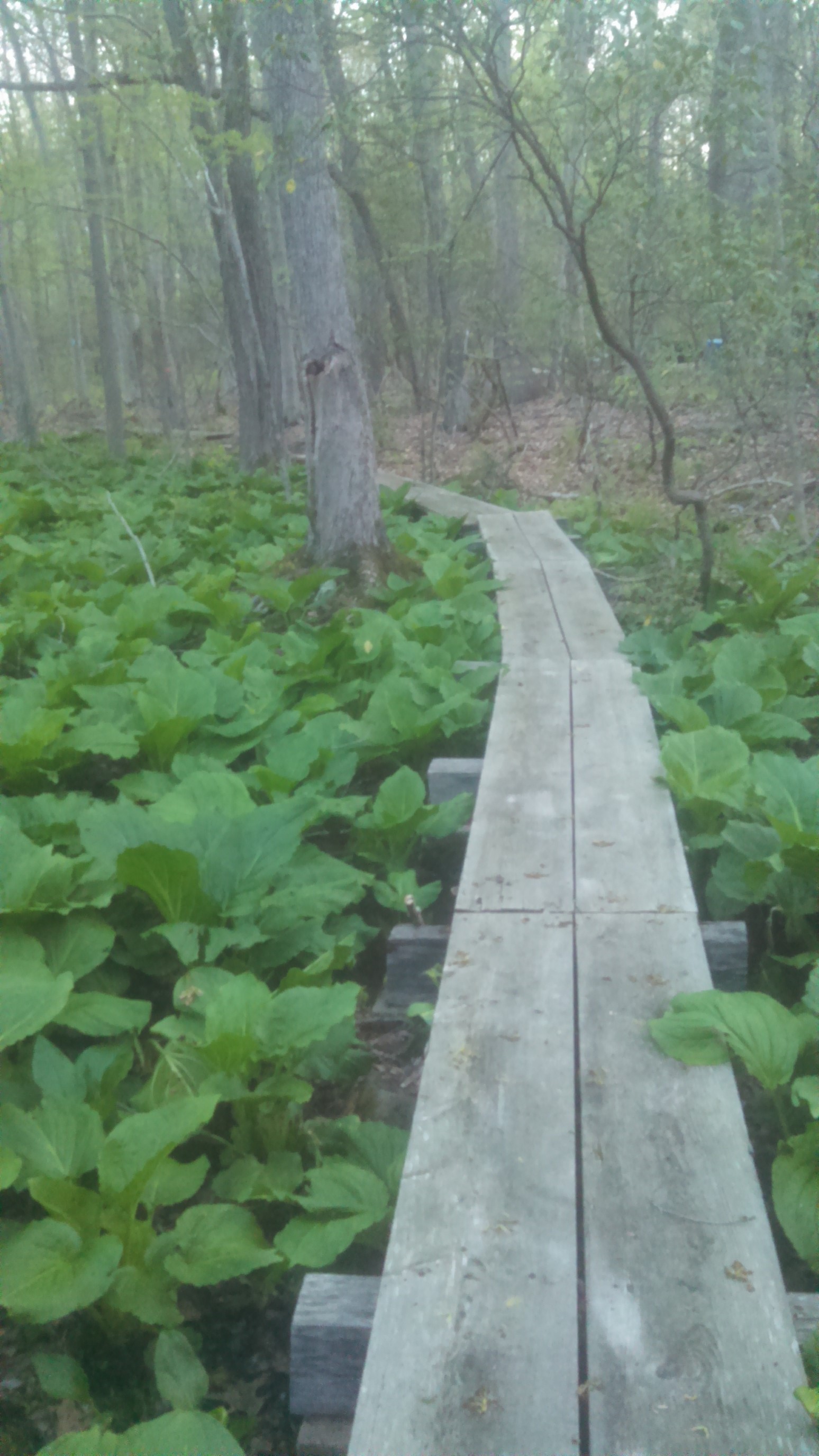
This part of the world is very low elevation, so there were many bog bridges to cross this morning.
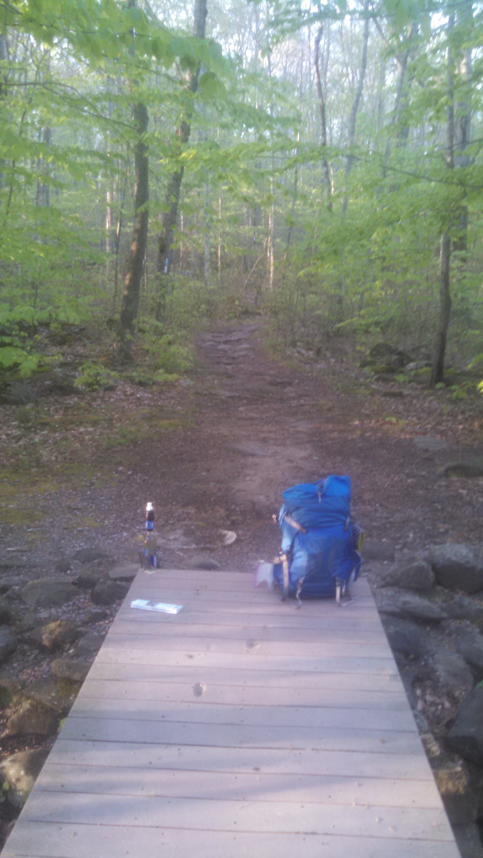
After about an hour of hiking, I stopped to eat 2nd breakfast at a nice wide bridge.
If I can’t get a picnic table, or flat rock, a bridge is a good substitute!
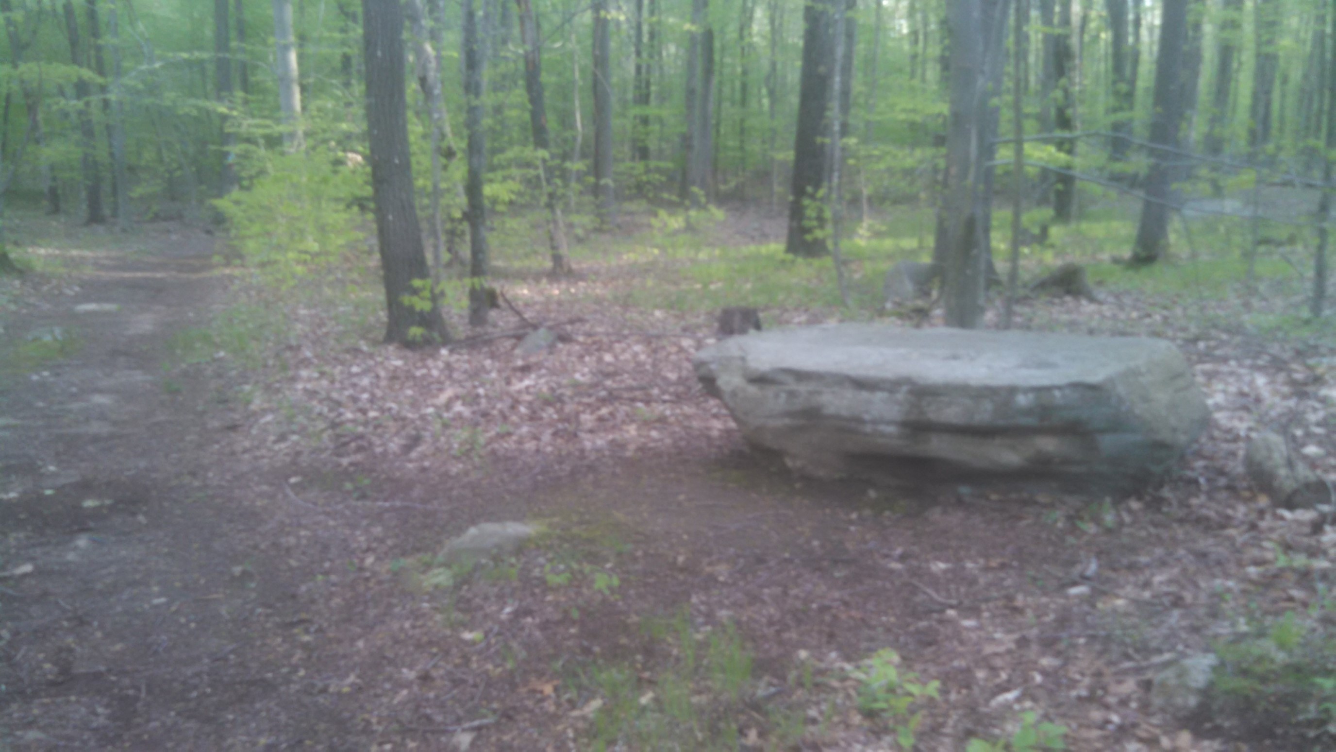
Of course, just a few minutes’ hike past my chosen breakfast spot was the most perfect flat rock I’ve ever seen. D’oh.
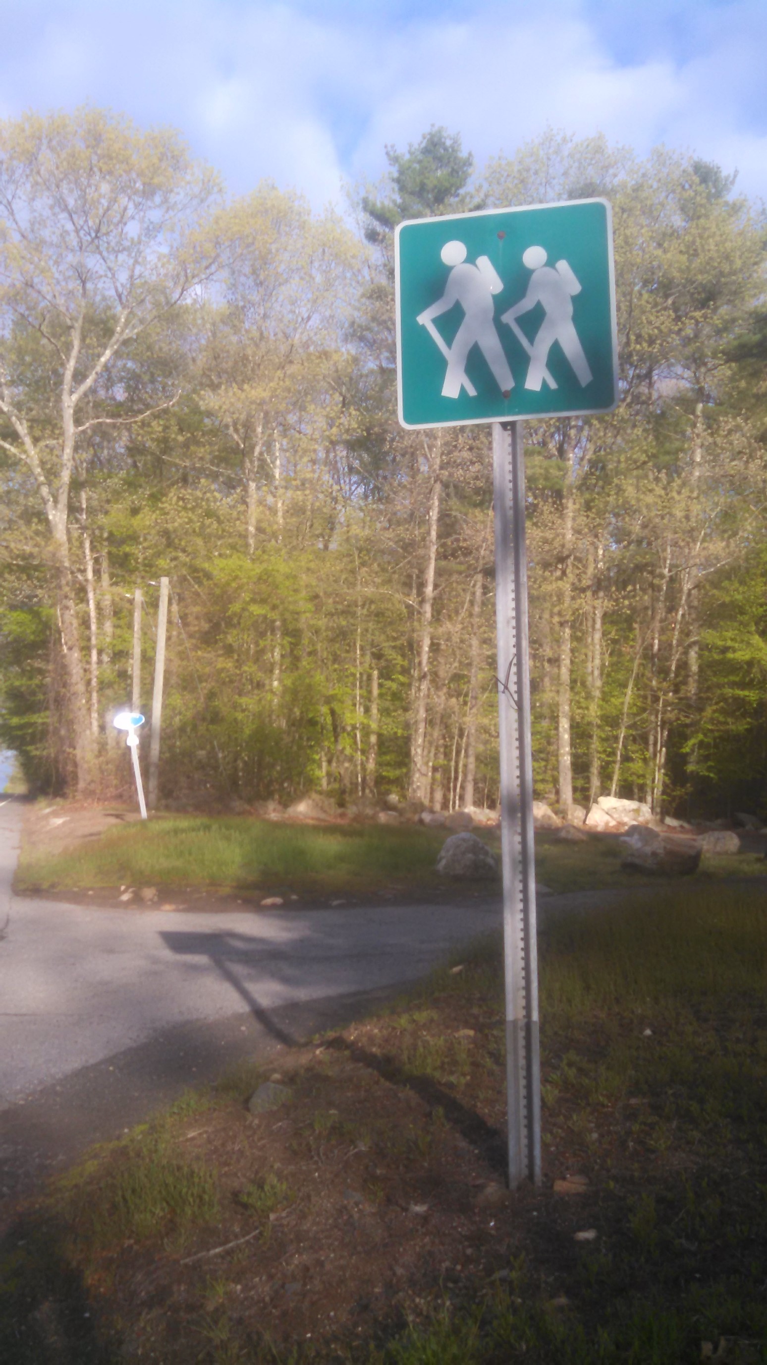
The classic hiker/backpacker sign. Their backpacks are tiny, and hiking poles are huge!
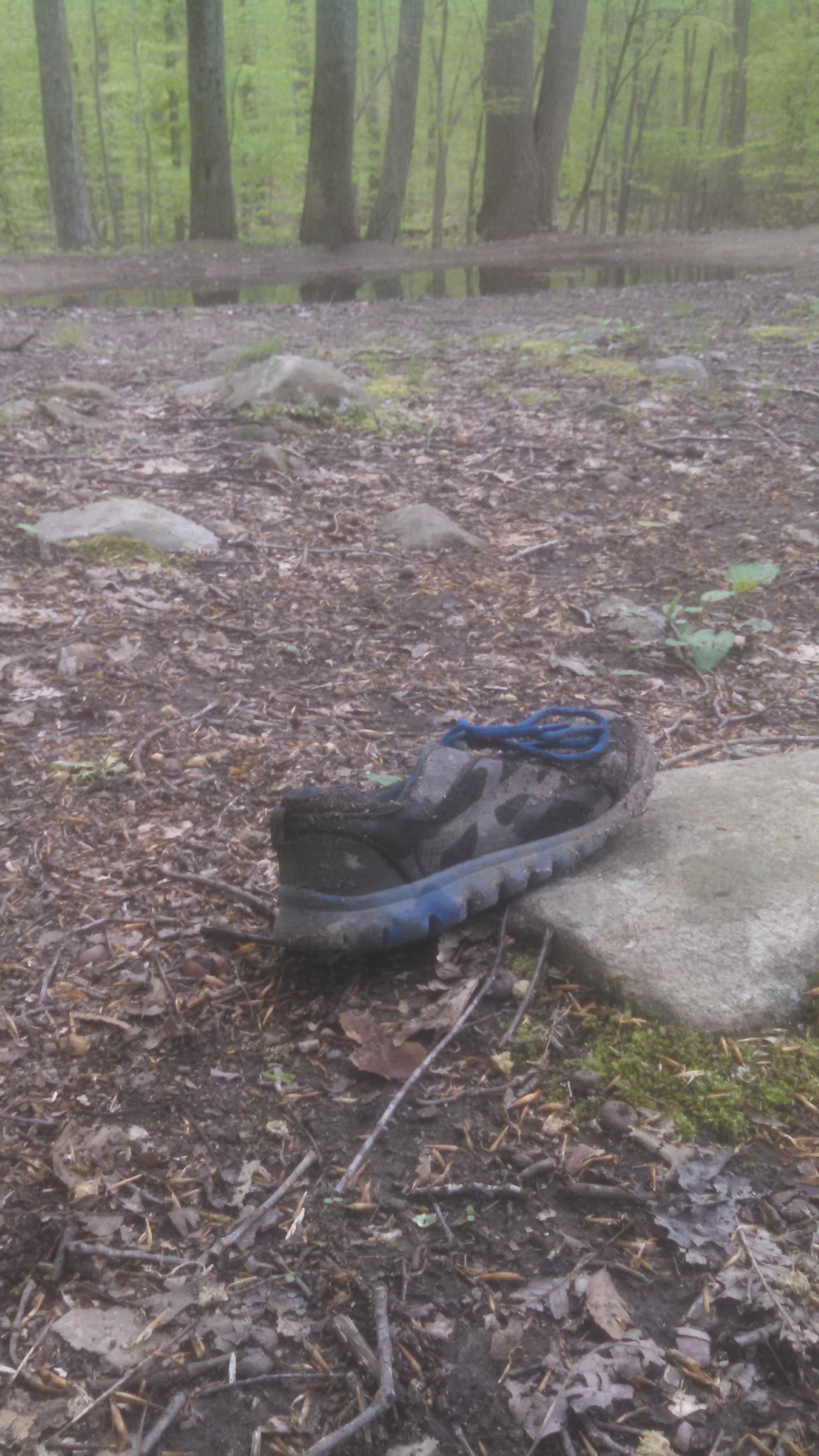
Around mid-morning, in the middle of the forest, I come across an abondoned hiking shoe. Just one shoe, not the pair…which is really strange. Onward!
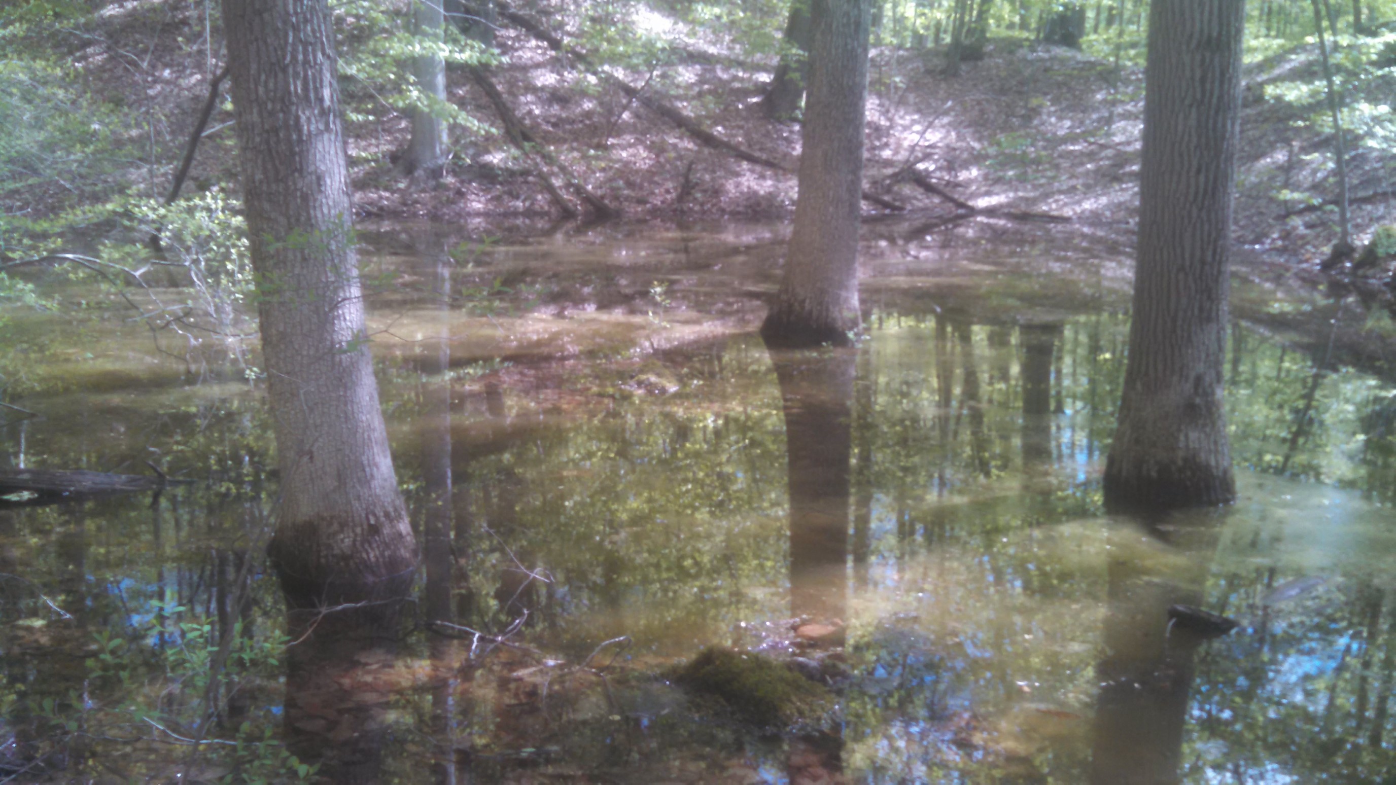
This section wasn’t fun to cross, it was very deep schlup-y mud. I eventually found a detour around the temporary pond.
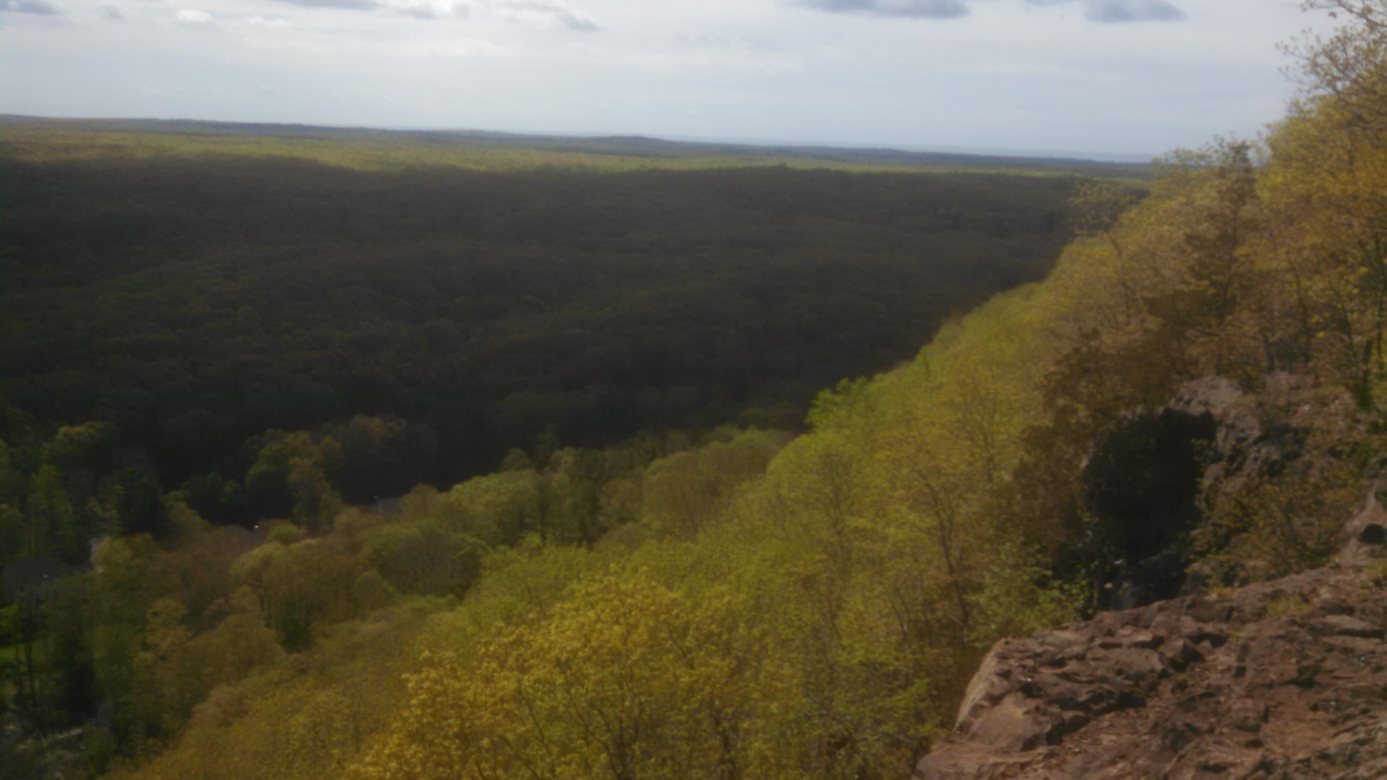
In the afternoon, the trail finally started to climb higher up onto a ridge, and I was able to get some views!
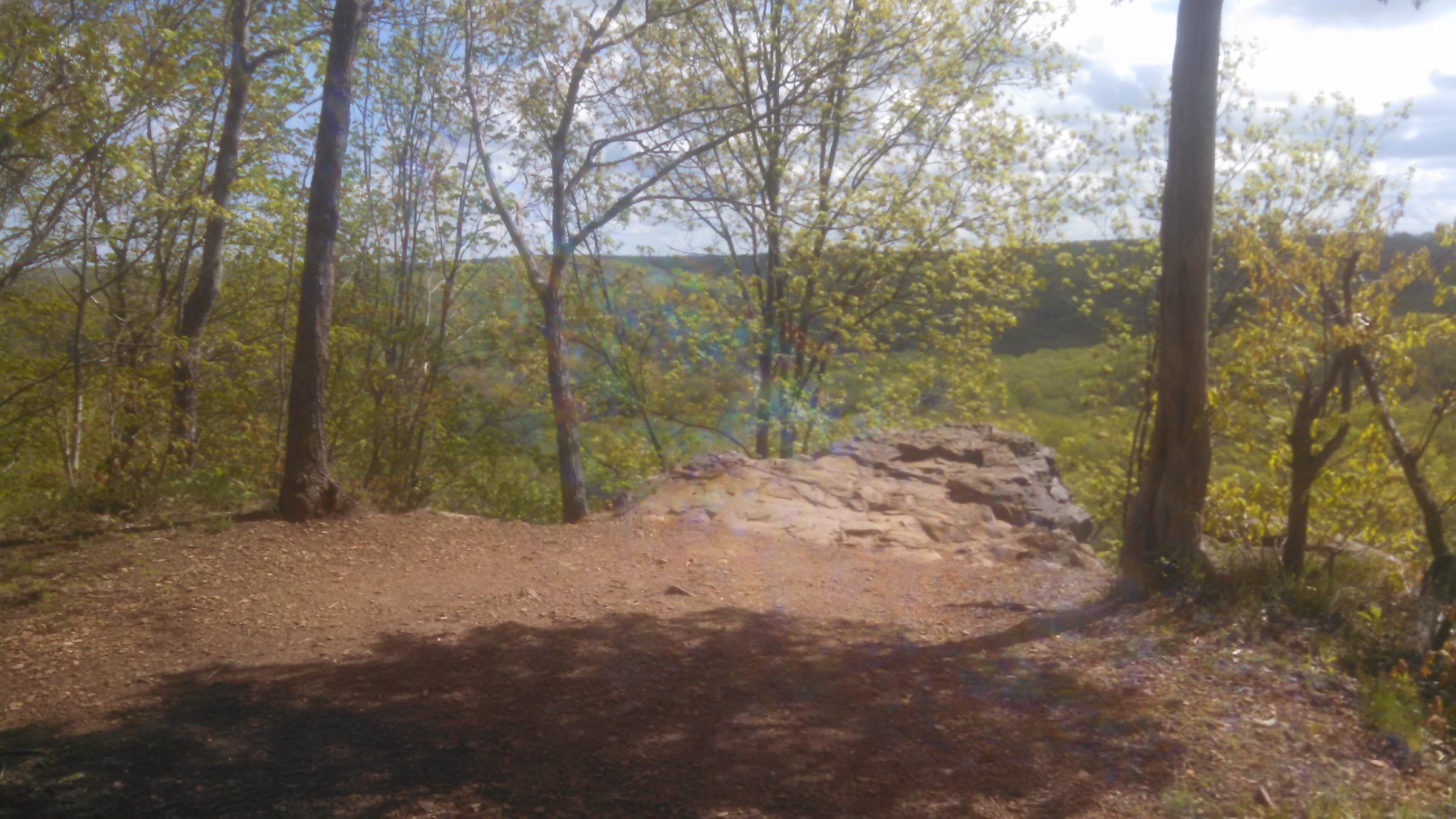
I’m glad it’s still early spring, the leaves don’t obsure the viewpoints yet!
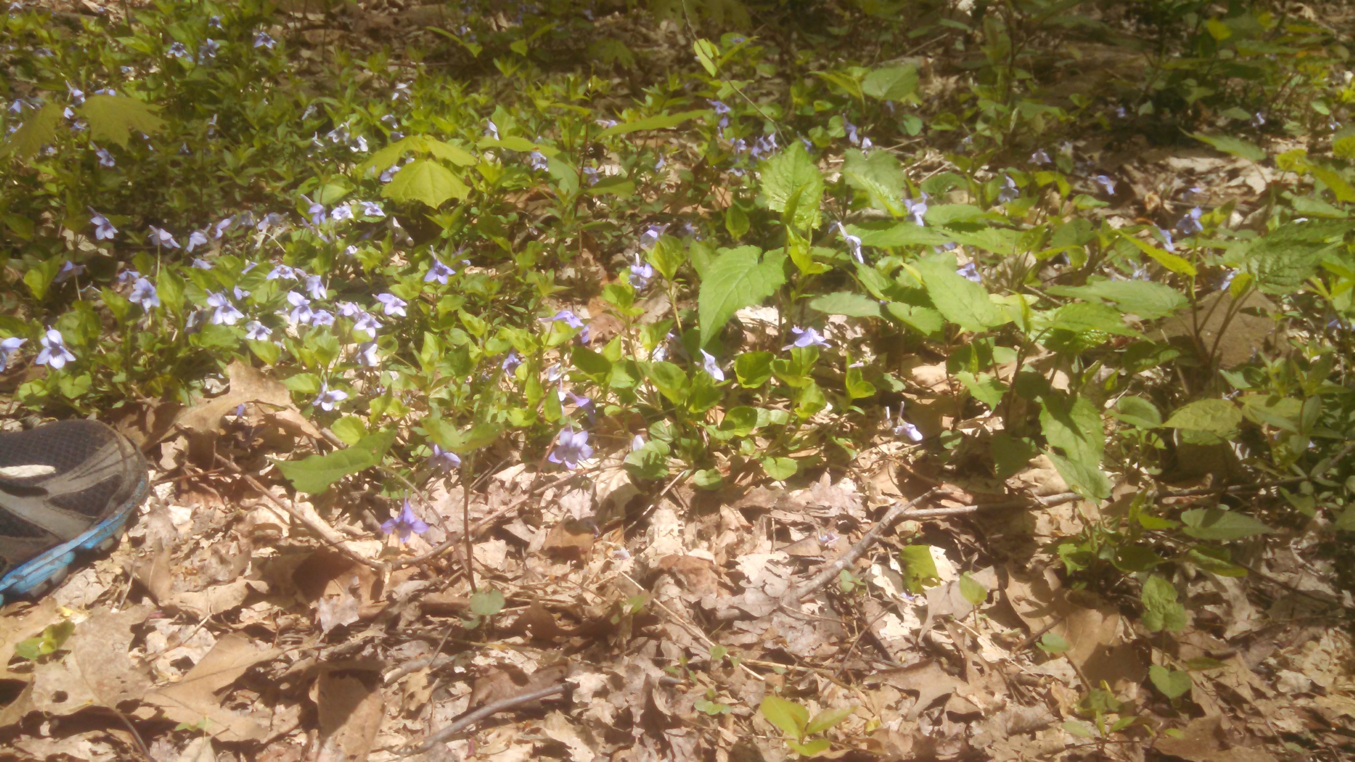
I hiked thru these flowers for awhile, they were like a carpet. I wish I was better at the names of local flora.
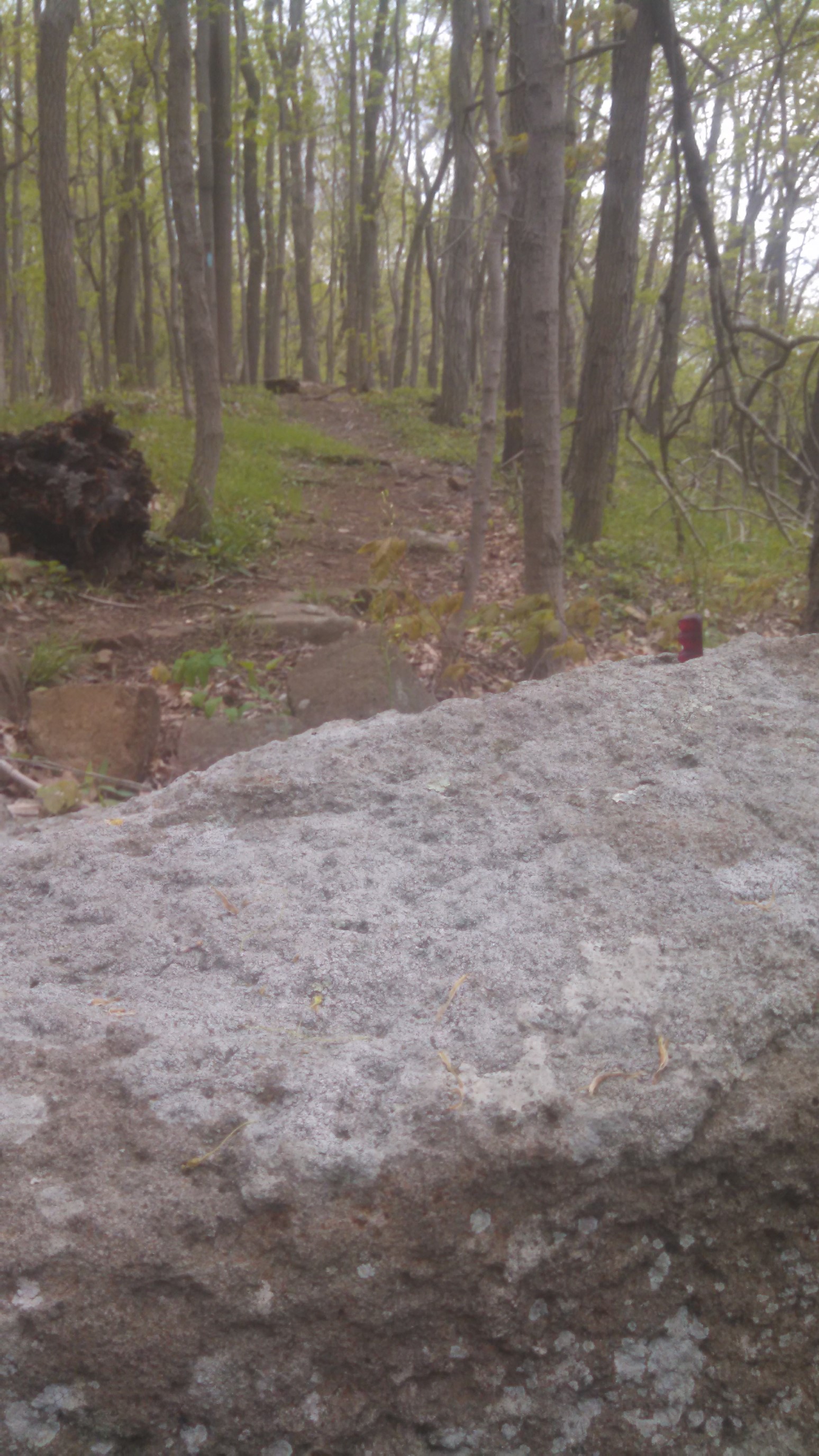
It’s still early springtime here…
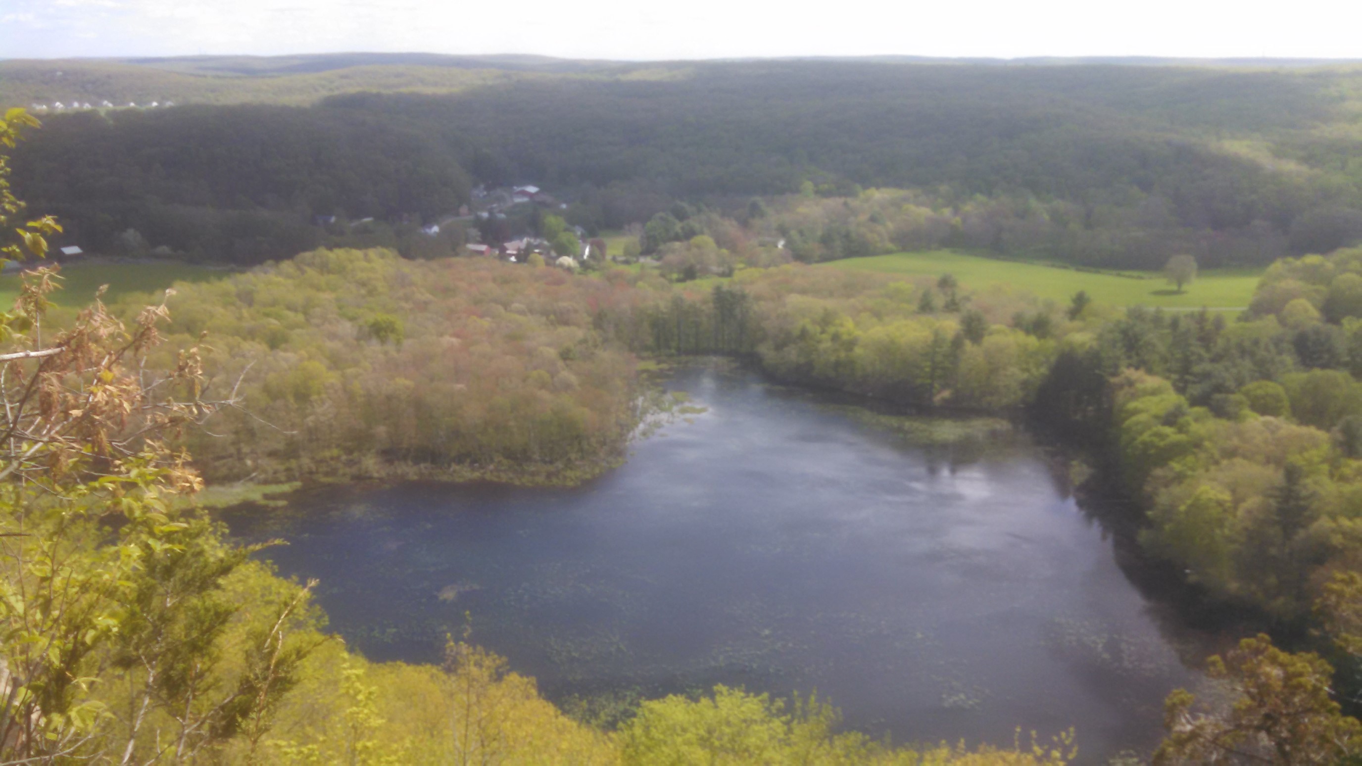
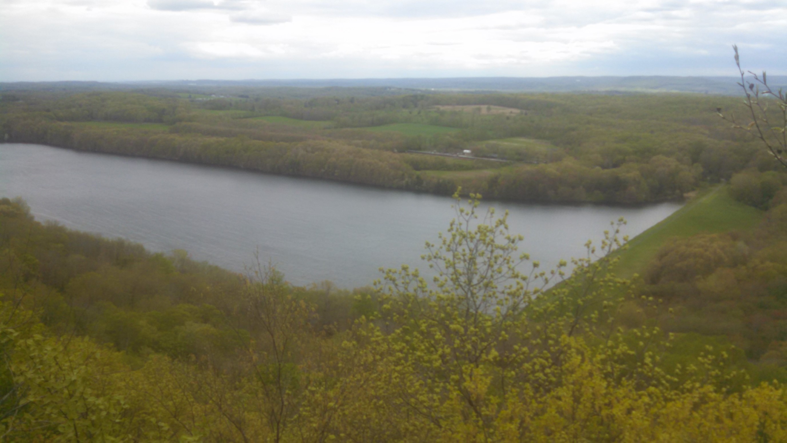
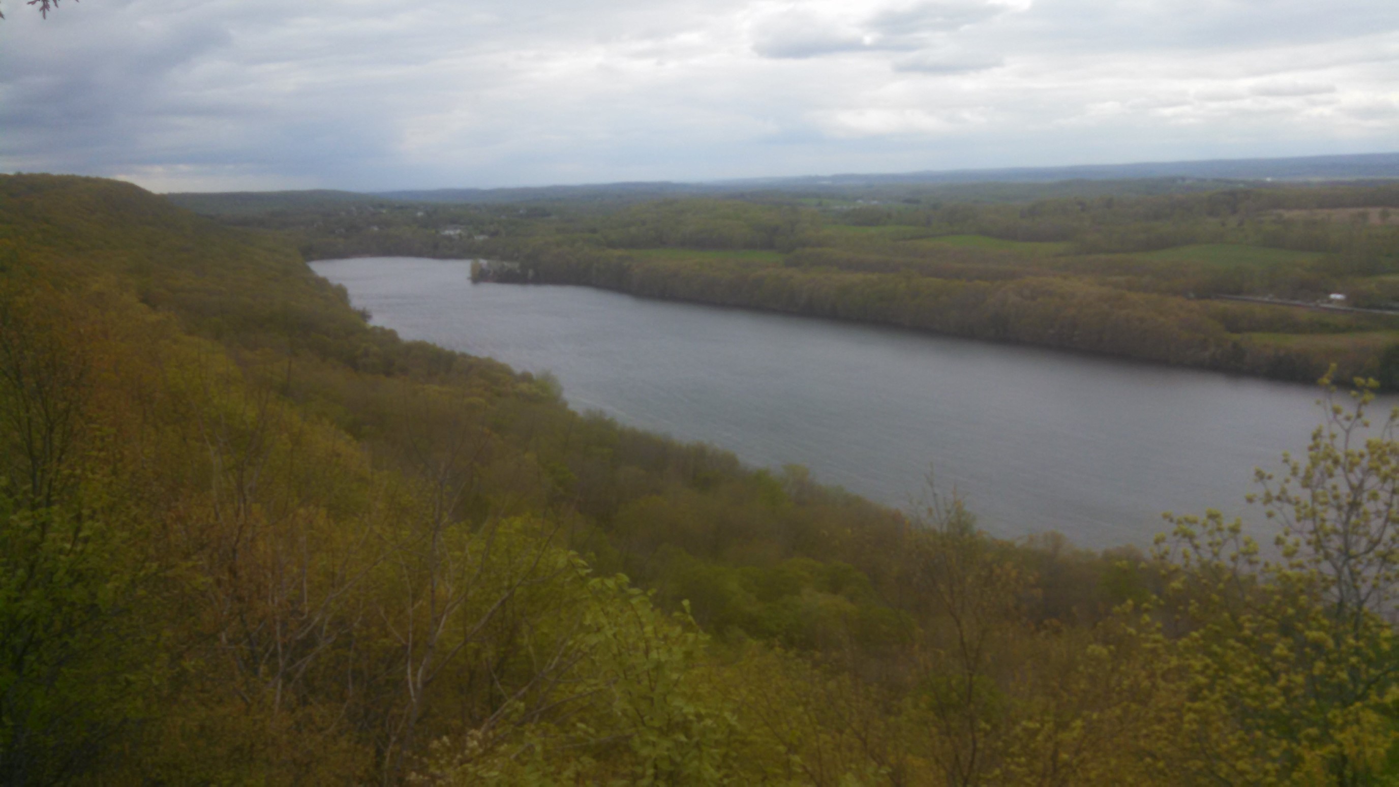
Looking down on the Ulbrich Reservoir, the water supply for Wallingford CT.
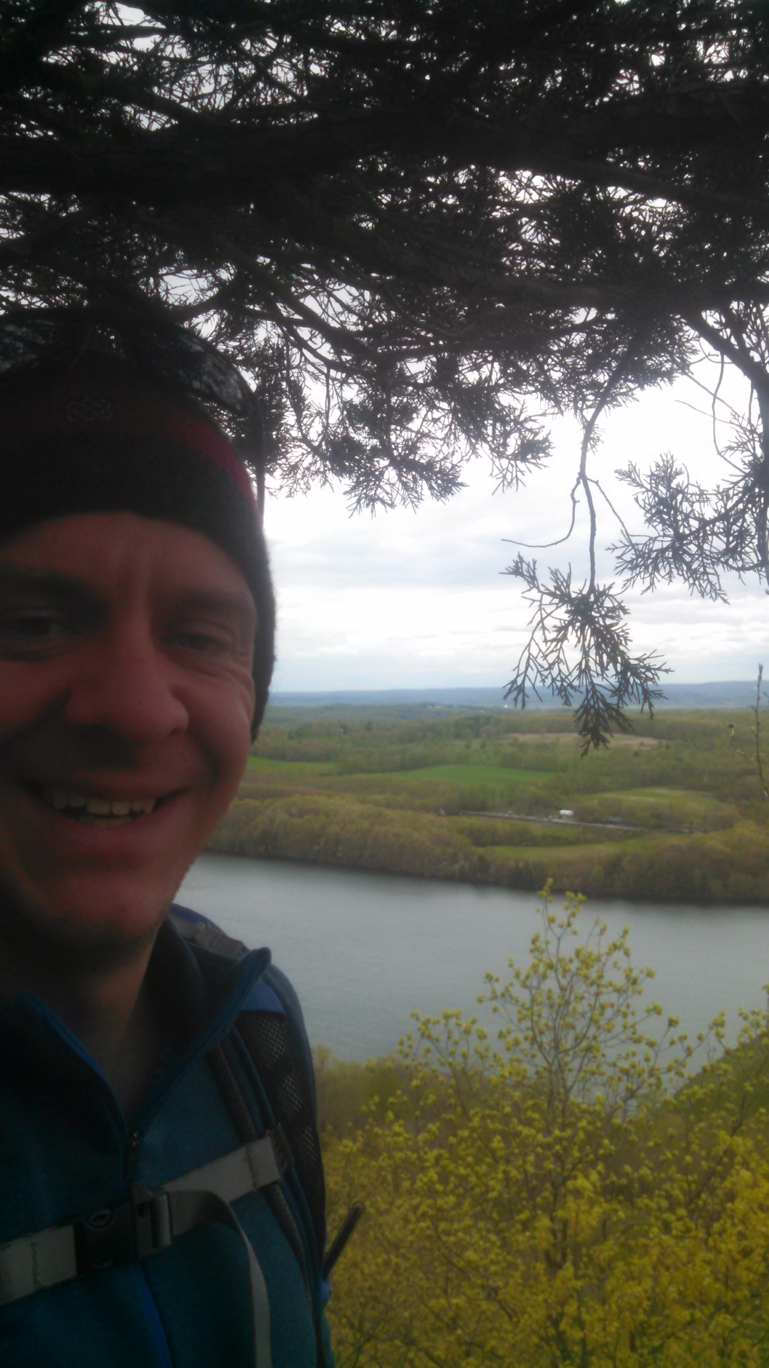
My attempted selfie with a broken phone screen…close enough!
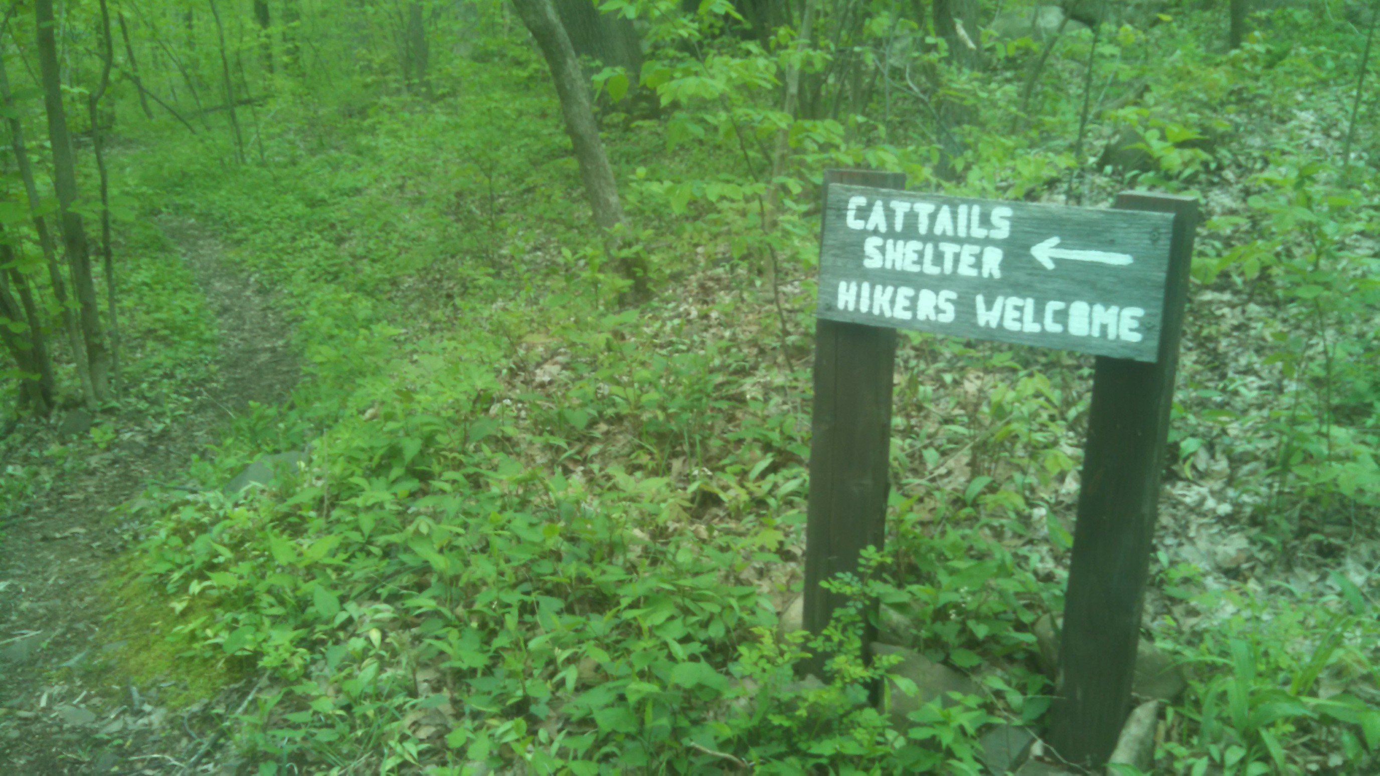
At the end of the day, I came to the first of three official NET campsites in Connecticut.
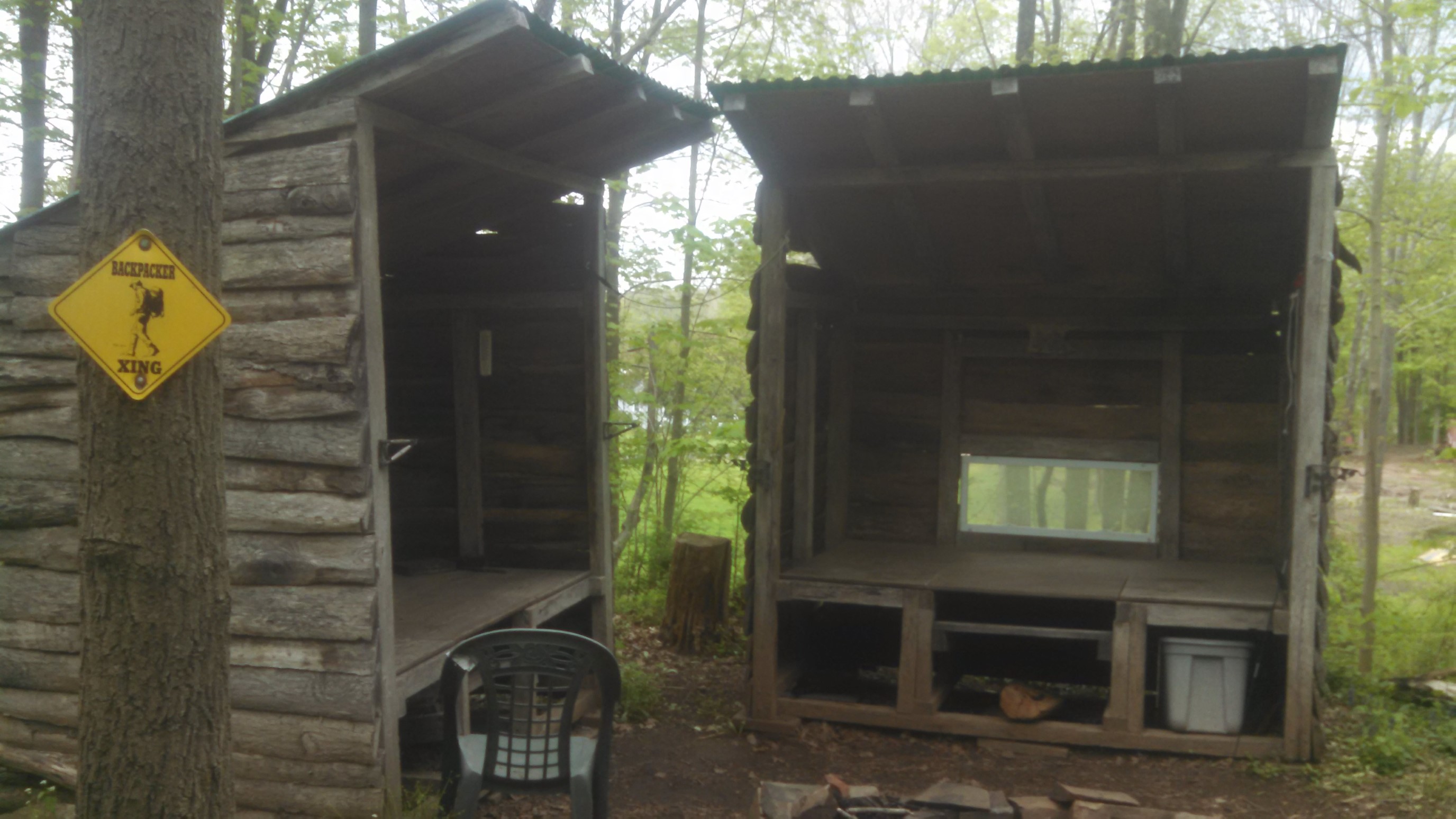
It looked pretty nice! A couple of shelters, a fire pit, chairs, storage bins, a privy, and even some windows. If I was thru-hiking this trail, I definitely would’ve camped there. But it’s Sunday night, so instead I have to drive back home and go to work. 🙁
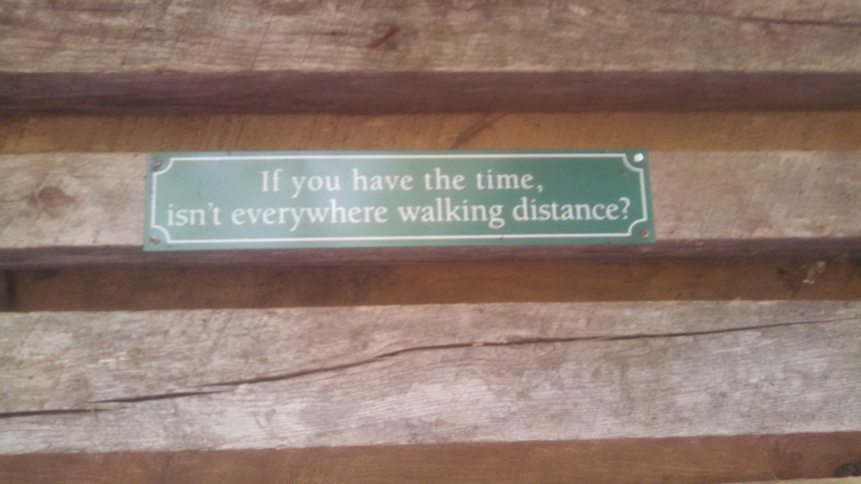
The shelter had this plaque on the wall, I thought it matched my sentiments exactly.
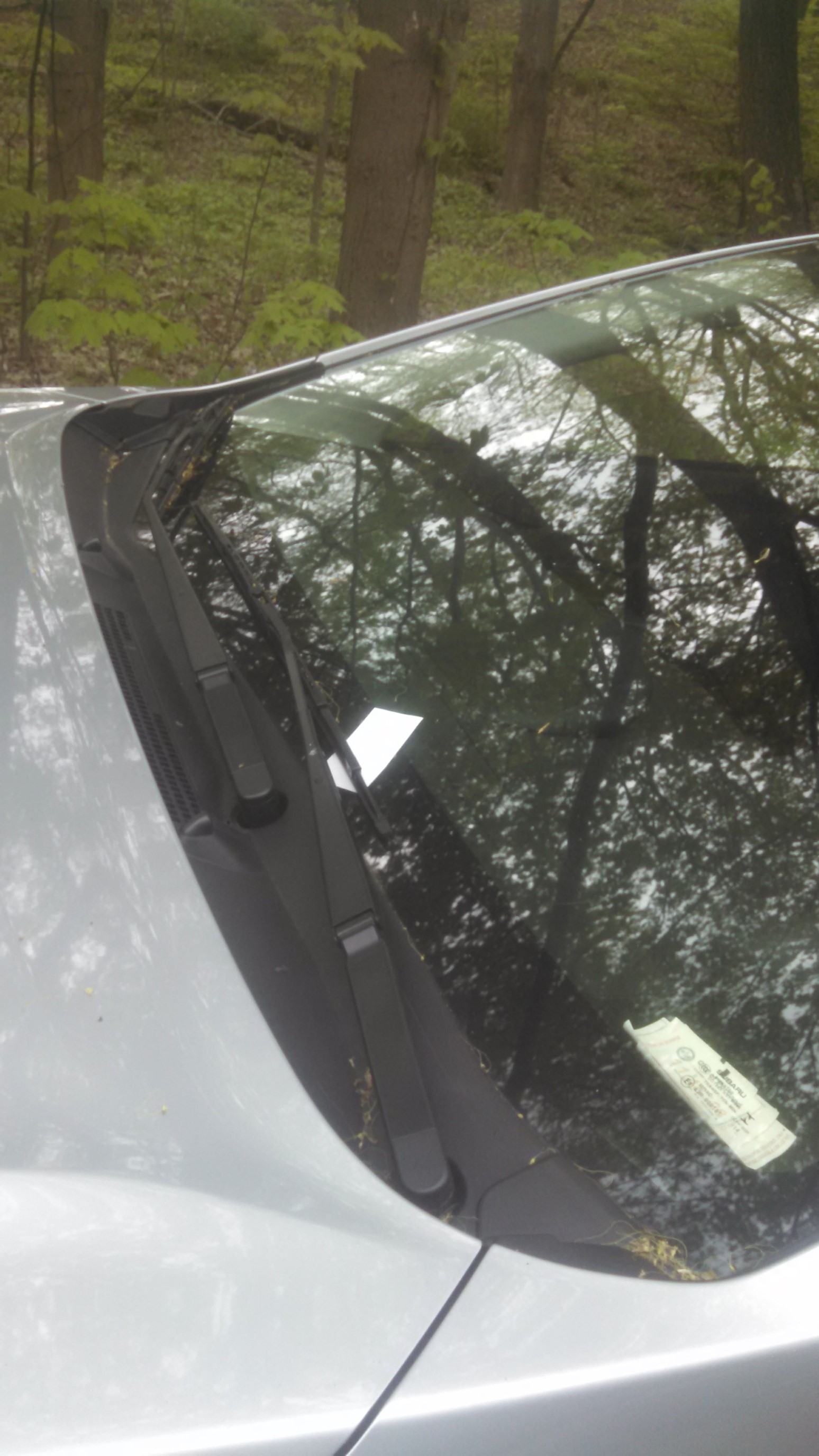
A mile later, and I was back at my car by 6pm. A local aspiring author had left their business card to promote their book.
Despite getting such a late start on Saturday, I was pretty proud that I was able to get in over 33 miles this weekend! It was a 2 hour drive back home, so naturally my thoughts wandered to planning my next section hike on this trail, which will be in June.