Day 3: (Saturday June 17th) 16.9mi/27.2km
Reed Gap/CT68 (33.4) to Snow Hill (50.3)
For this section, I planned my logistics and parking better. I drove to the starting trailhead, parked legally, and planned to get an Uber back here Sunday afternoon. I stopped for lunch on the drive out, and got on trail around 1pm. It had been a month since I was last here, and everything was so much greener!
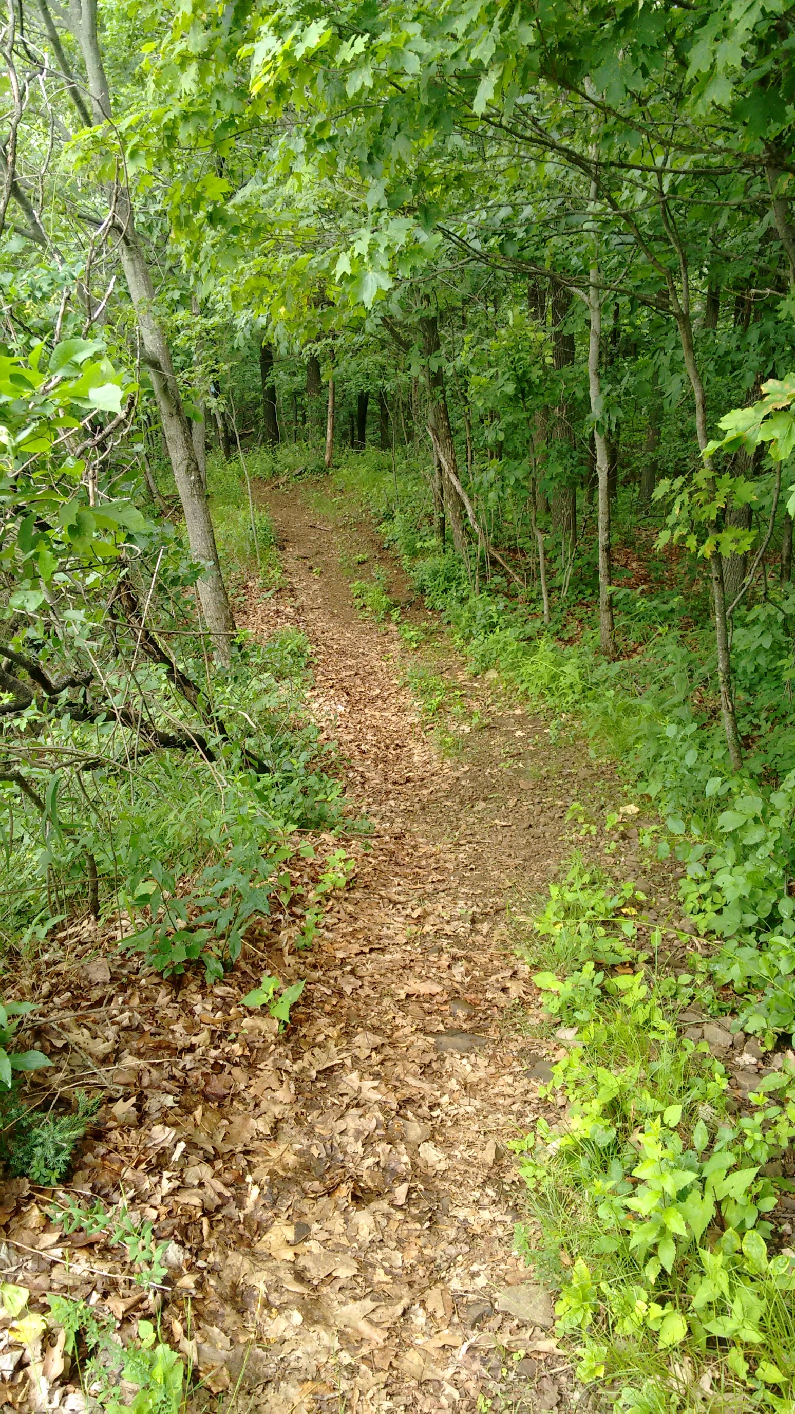
I quickly gained a ridge, and occasionally had nice views. I could also see some wet-looking clouds moving in…
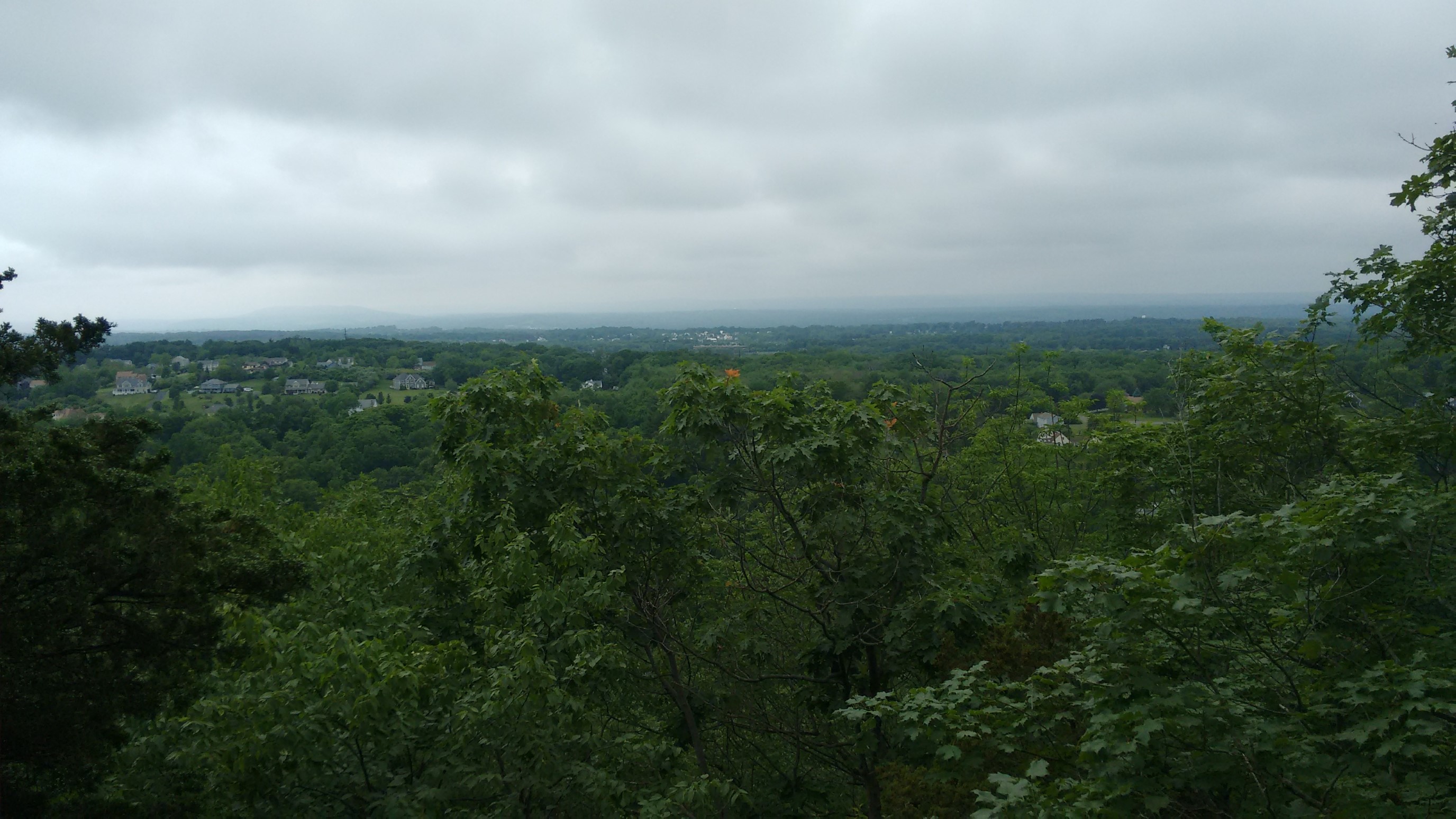
It was very humid and warm, so I was defintely looking sweaty.
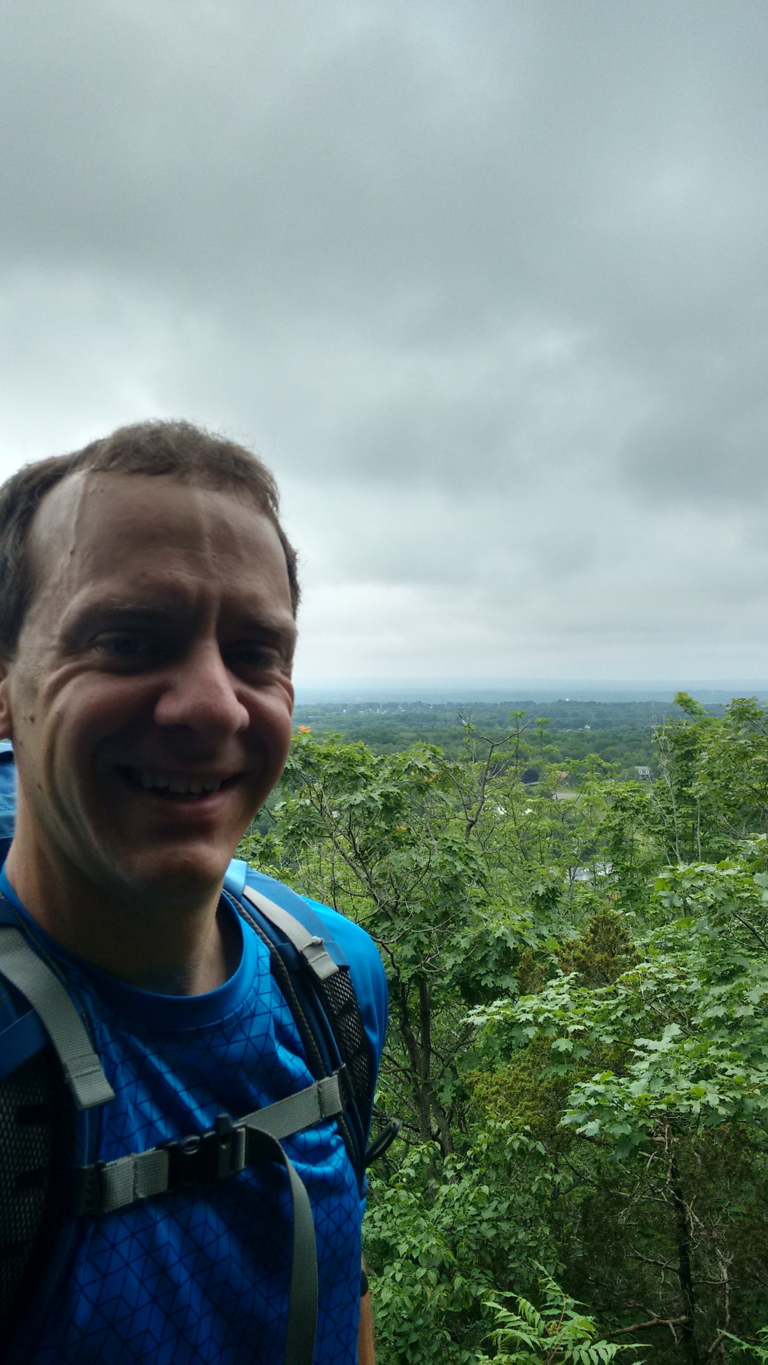
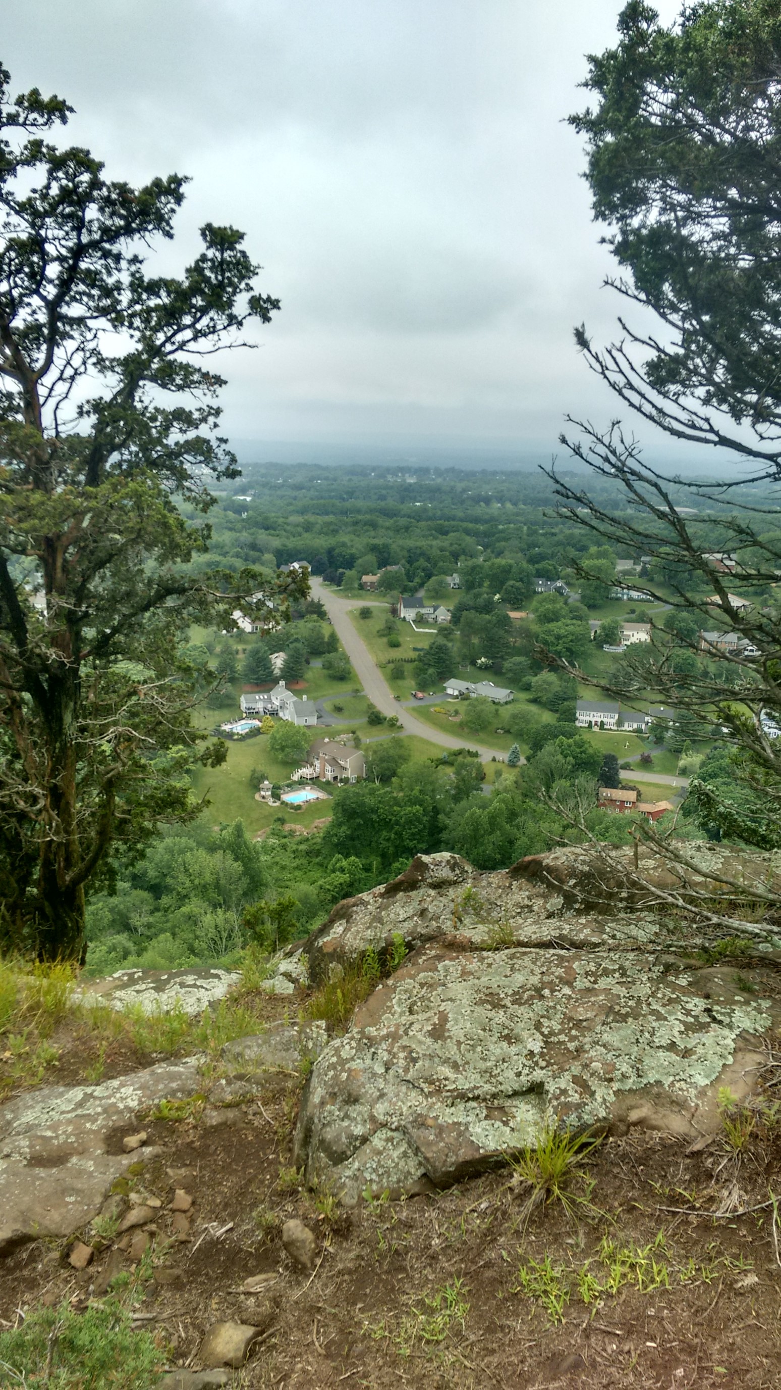
Sometimes the views were just down into the suburbs below. Connecticut seems to do a terrible job at protecting open space.
After a couple miles, I hiked across the top of a small local ski hill called Powder Ridge.
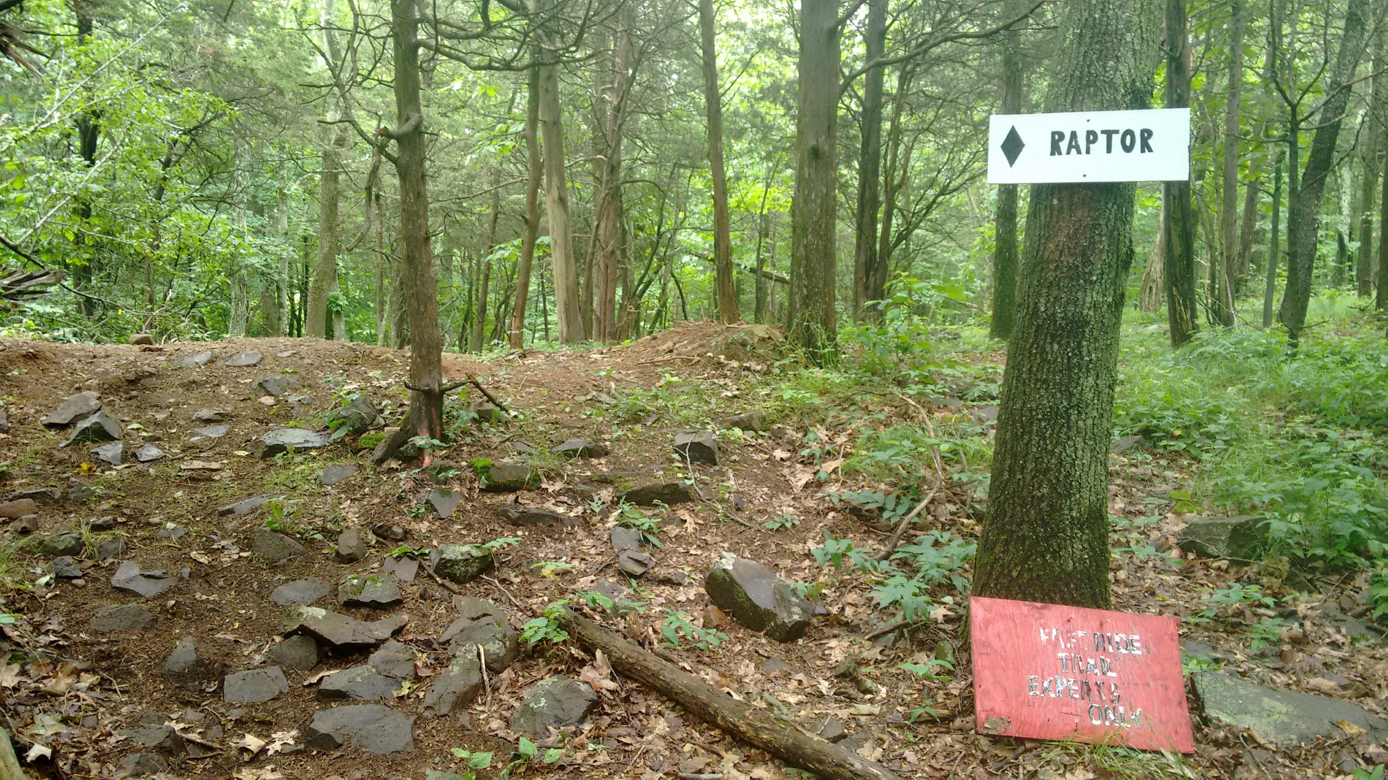
Ski lifts always seem so creepy in the summertime. It kinda reminded me of a zombie movie scene.
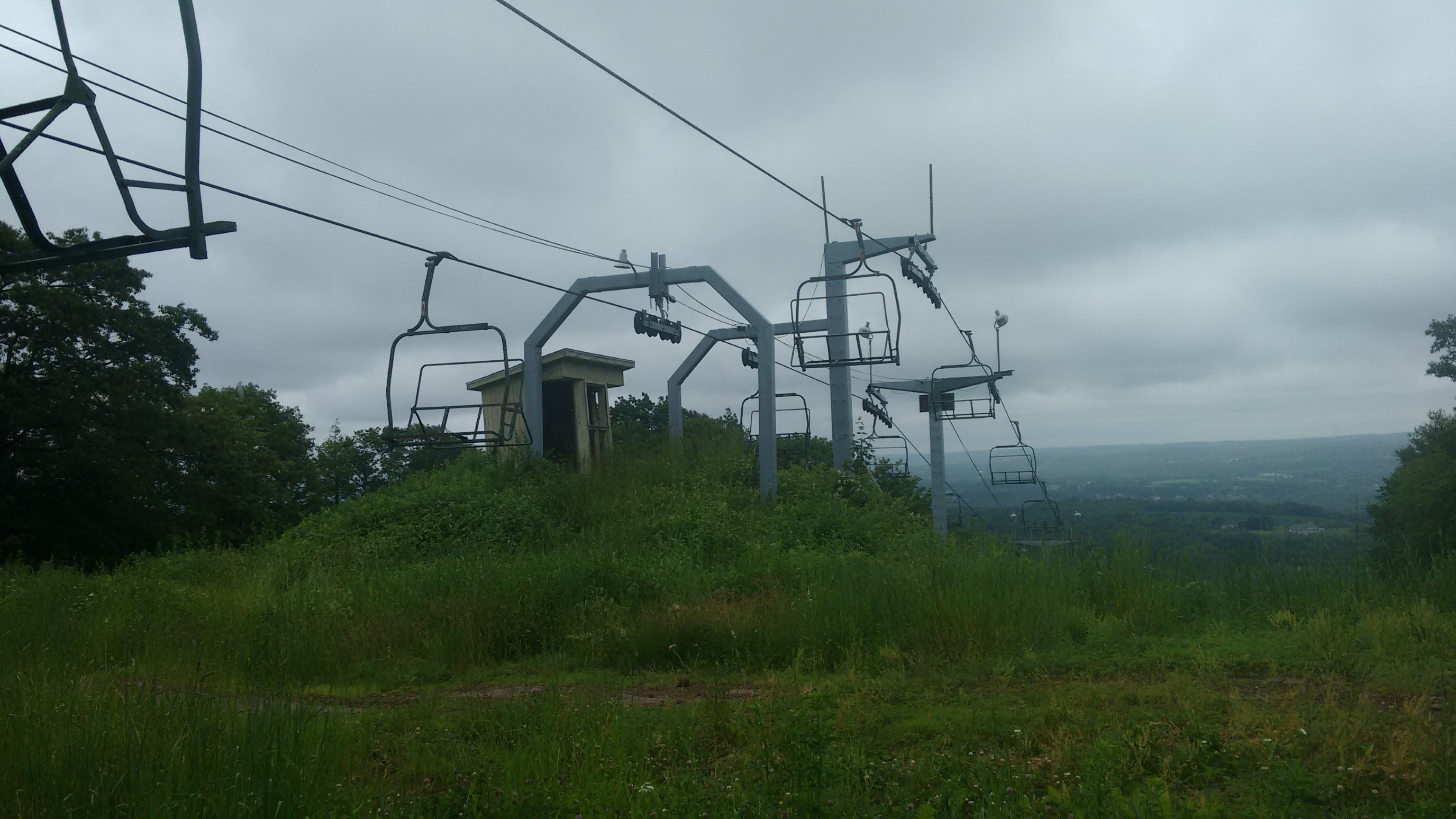
I always appreciate a puns and clever names, though!
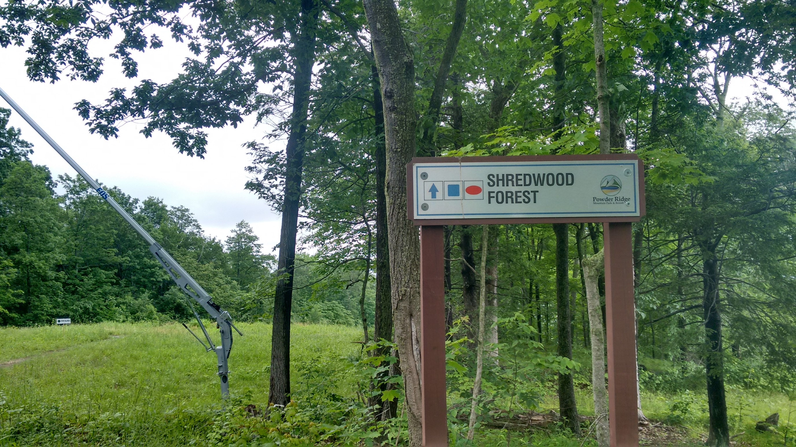
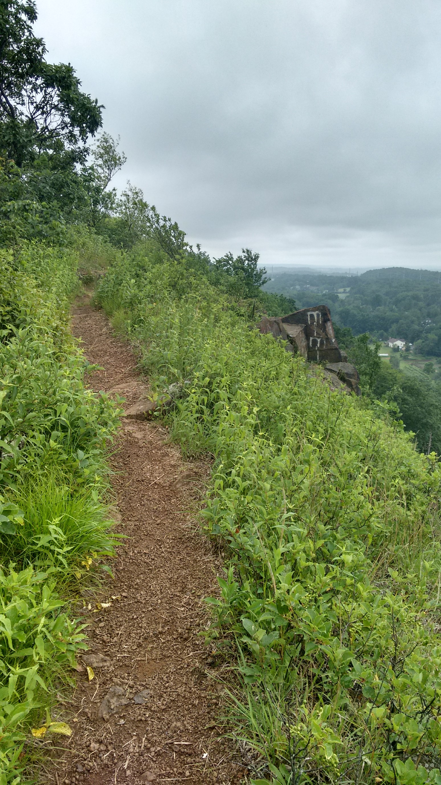
The views got better as I progressed north, with more fields and forests.
I believe this little body of water was Black Pond, just before the trail dropped down off the ridge to cross a highway.
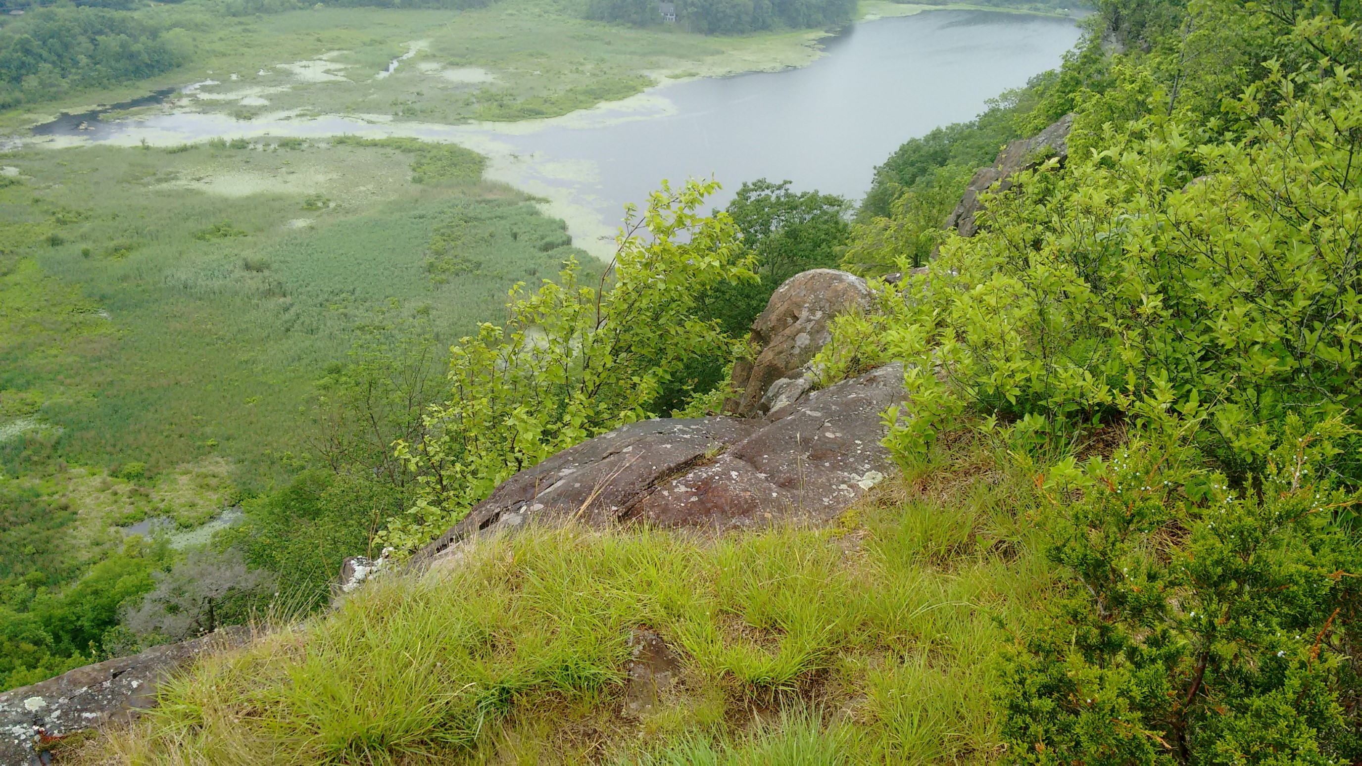
The trail literally passed right thru the parking lot of a local diner, Guida’s. I just had lunch 3 hours ago, but I couldn’t resist temptation.
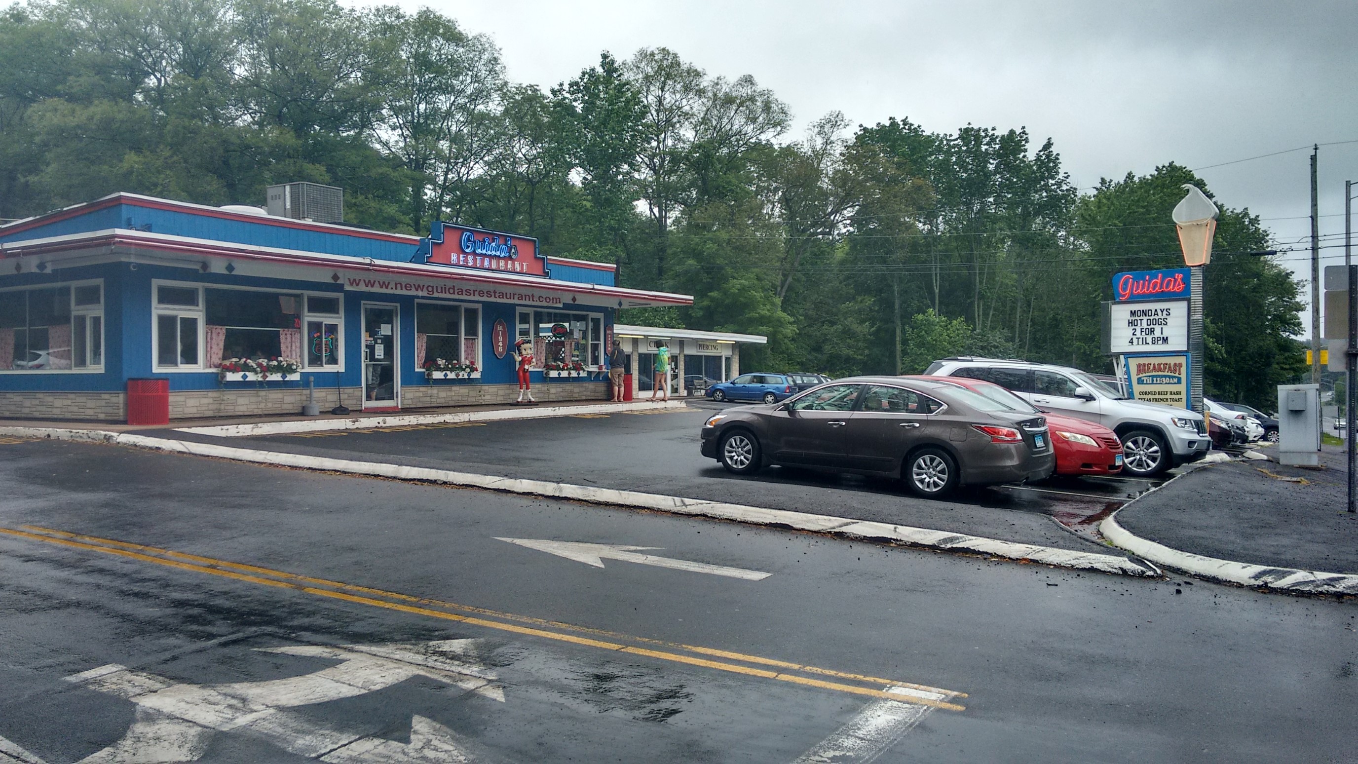
Hmm. Surprisingly, I found a business that still, in 2017, only accepted cash. What could I buy for $5? I took it as a sign to follow the arrow to the side window…
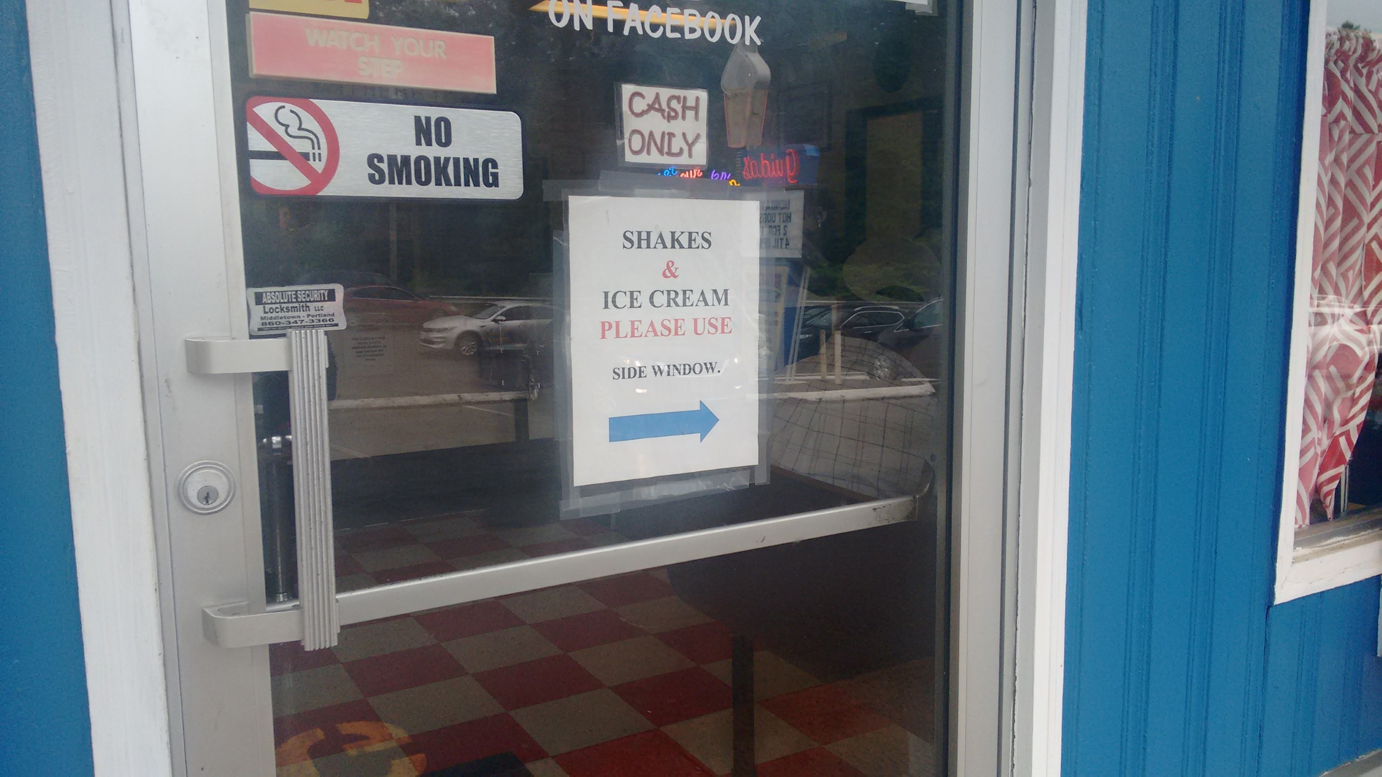
Ice cream and snapple! My two favorite trail treats.
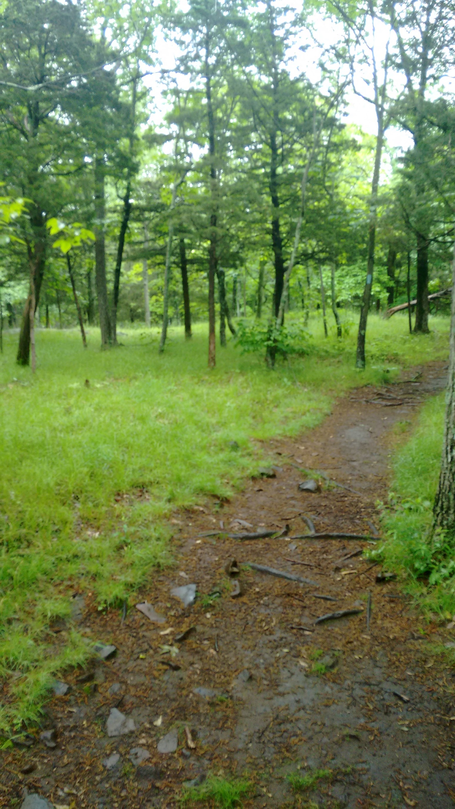
After waiting out a quick 15 minute rain shower at the diner, I continued on down the trail. Everything was a little muddy, but I saw zero other people all afternoon.
An hour later, I met a deer who was not shy. It just stood there, 20 feet away, in a staring contest.
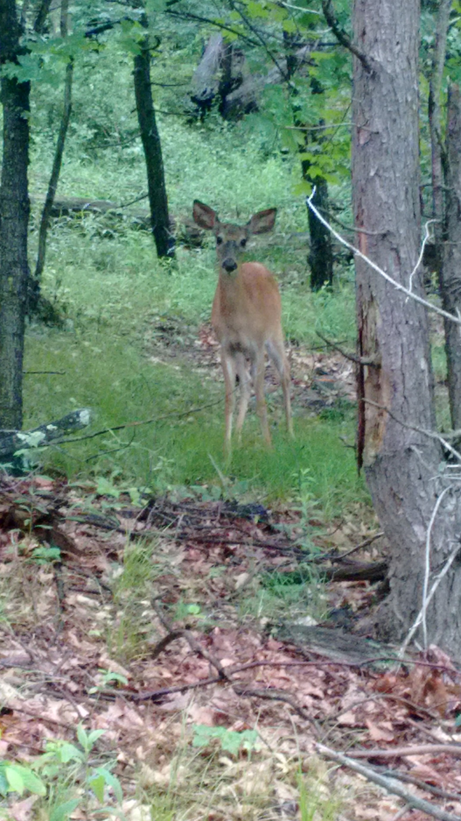
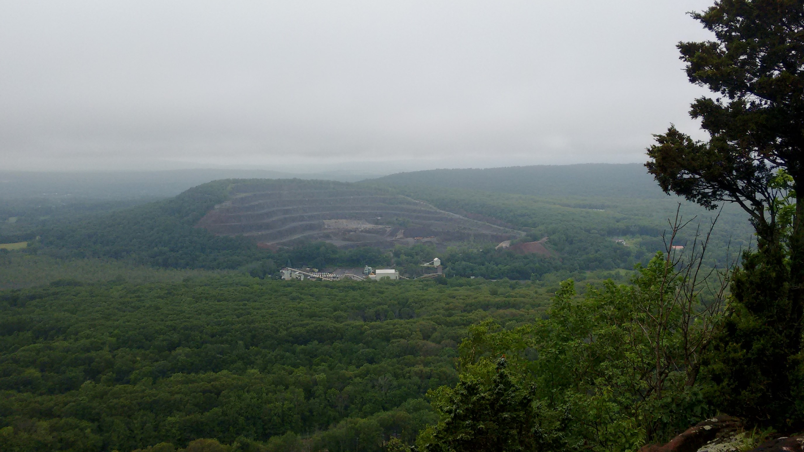
Then, the deer got tired of waiting for me to move on, and went back to eating. It was so fascinating to watch! Eventually I moved on, and the trail treated me to more views, though a little obscured by low clouds. I was a little surprised to see a strip mine across the valley, I didn’t think Connecticut had any valuable minerals.
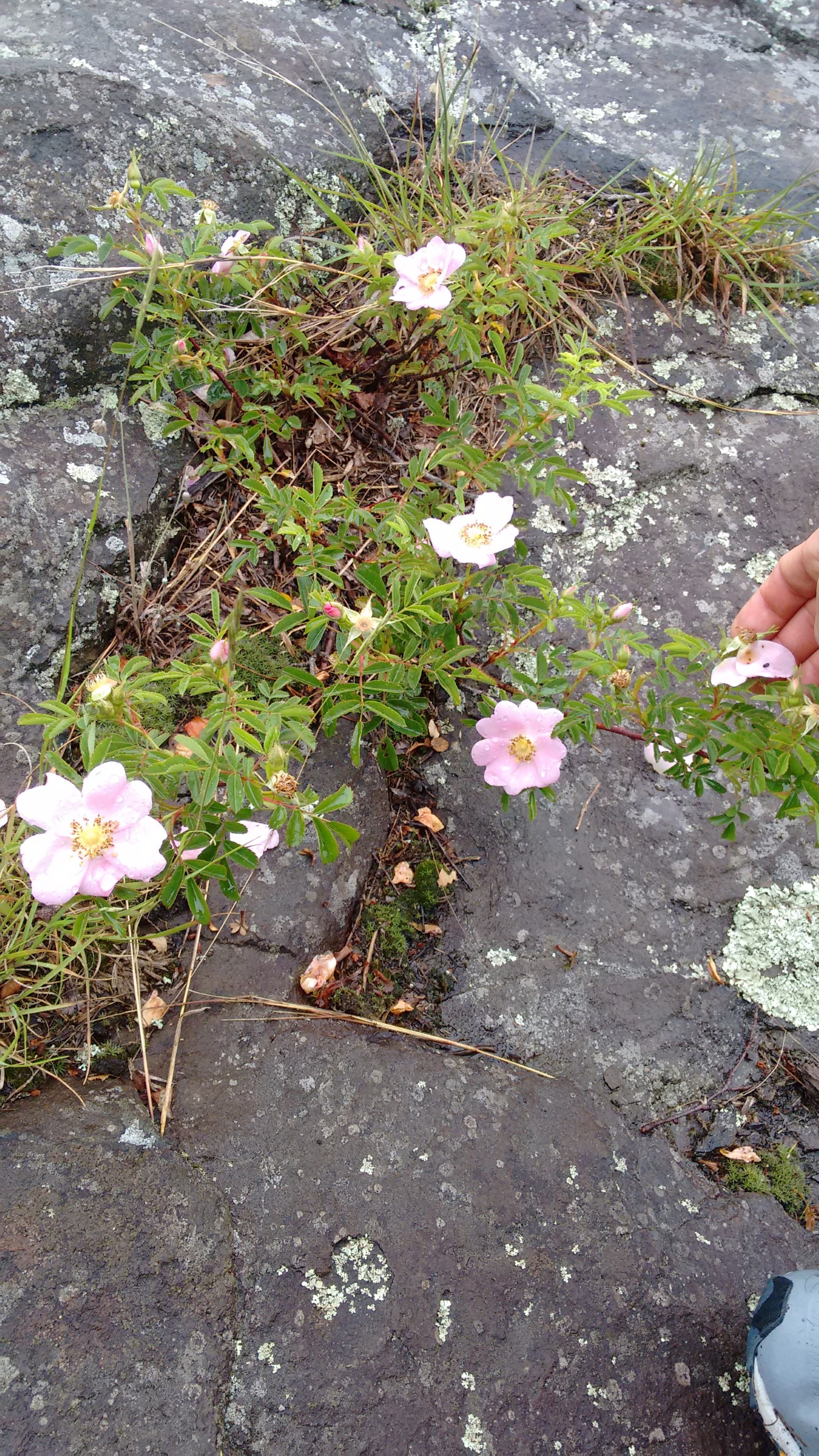
This flower smelled just like cinnamon rolls. I wonder it’s name?
Late in the afternoon, I crossed interstate 91, which basically parallels this trail up the Connecticut river valley.
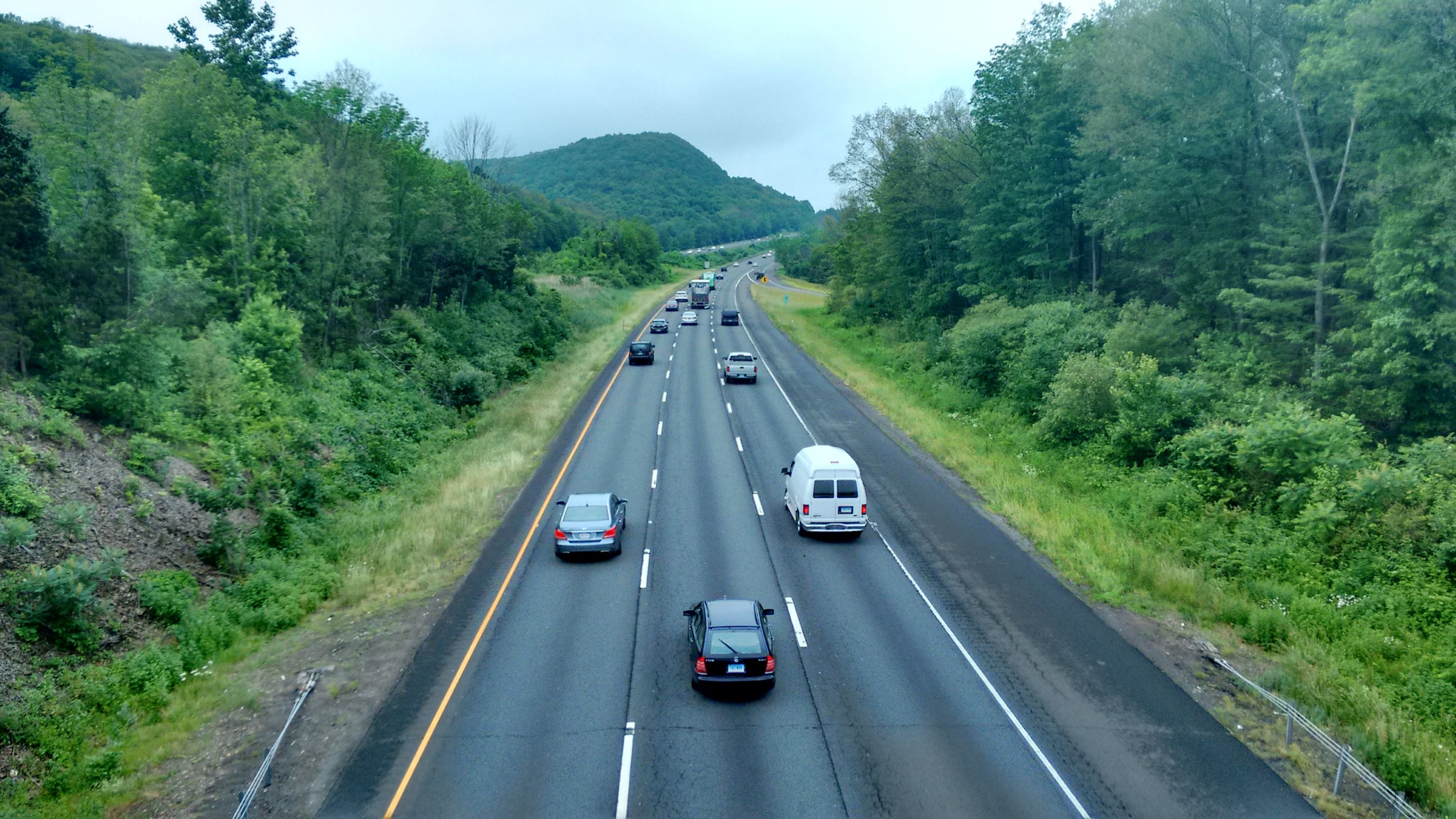
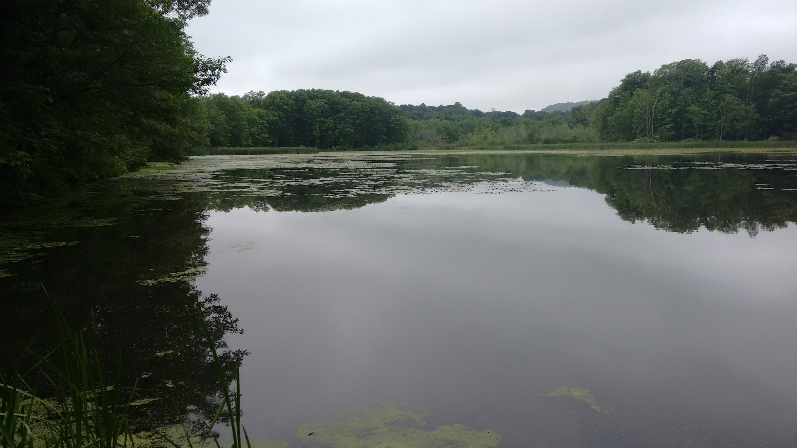
Then I ducked back into the serenity of the woods, and took a nice break at the Highland Pond Preserve.
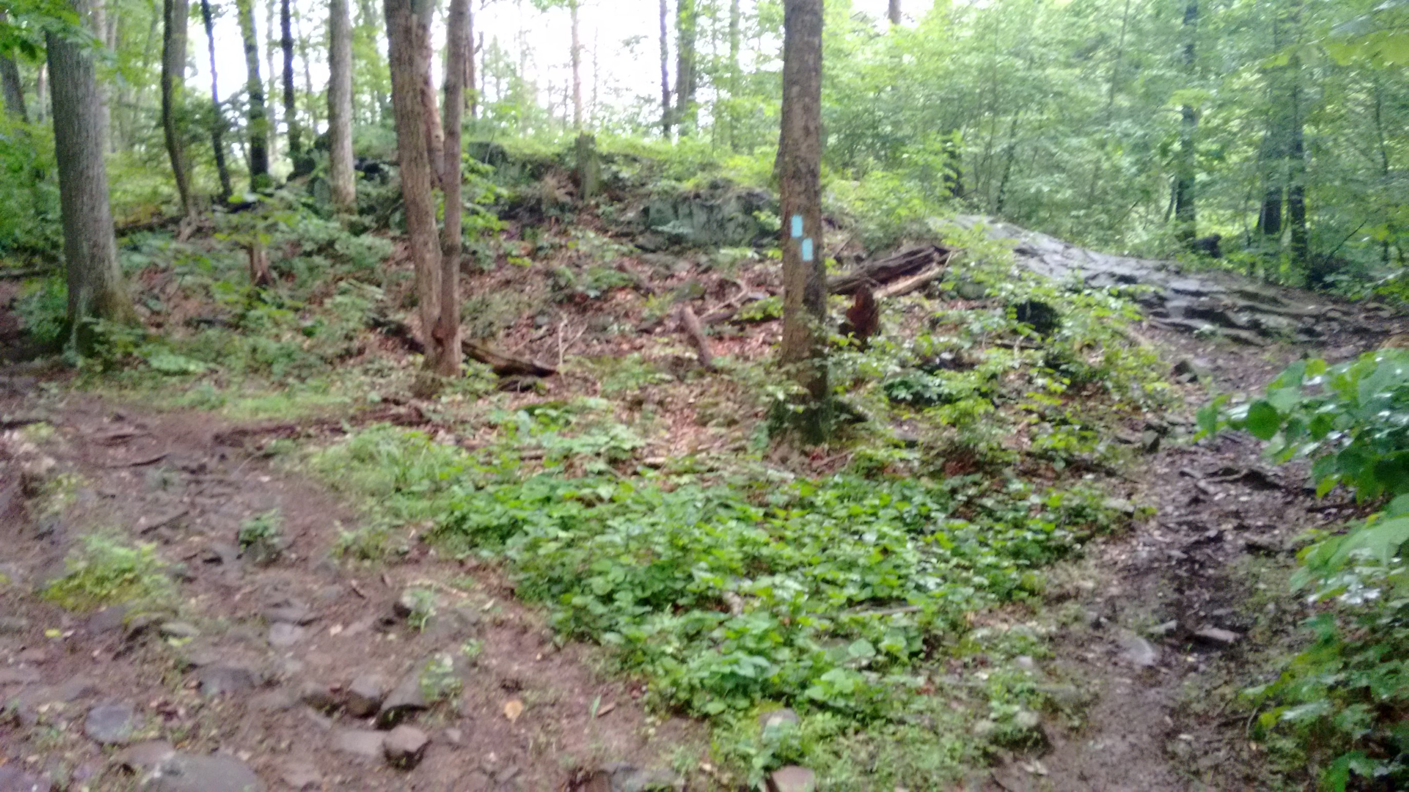
The NET uses blue blazes to mark the trail. And there were many junctions in this section, so I’m glad it was well marked!
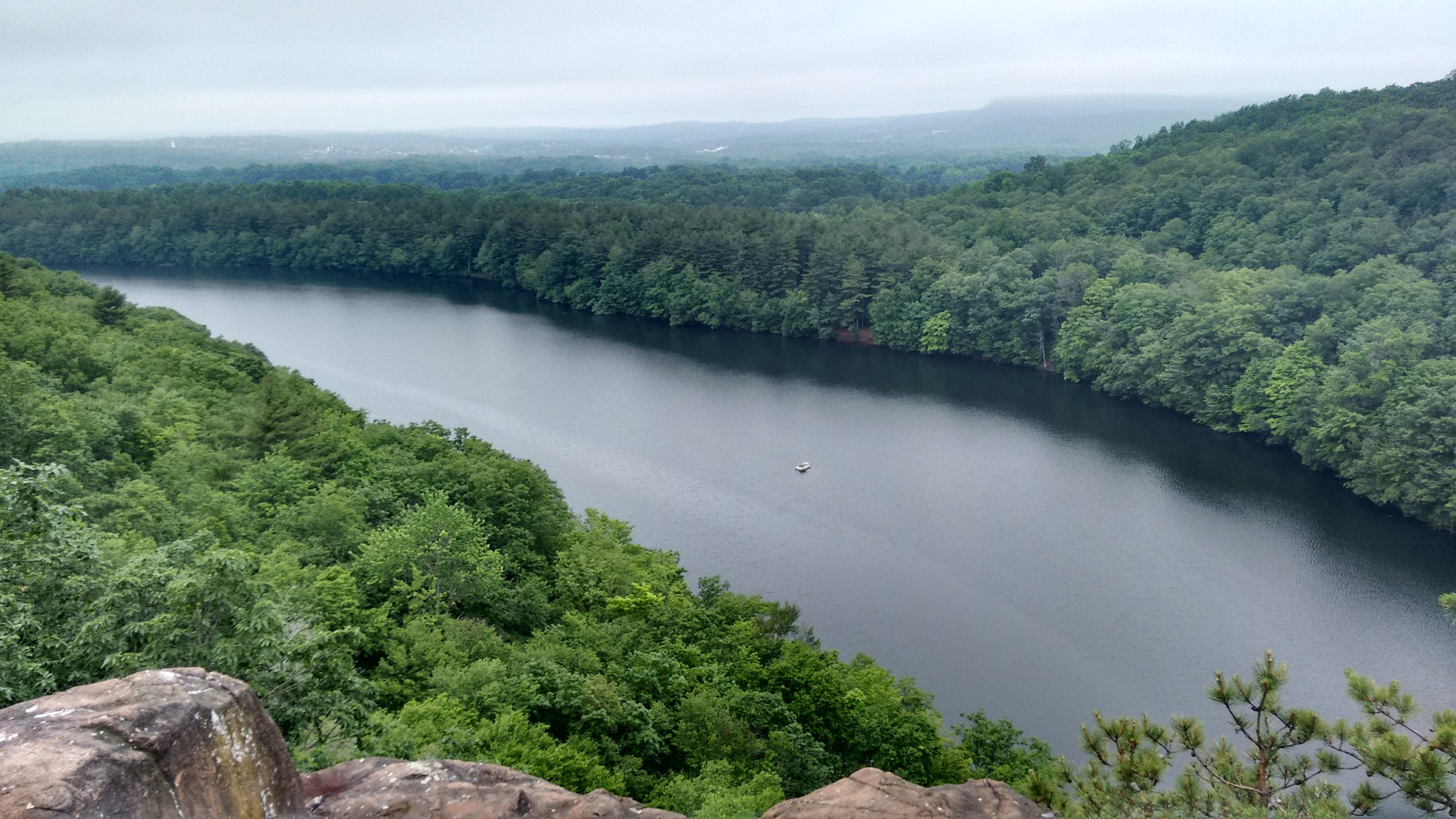
The trail travels a very rocky ridge above the Bradley Hubbard Reservoir. I was so engrossed by the views and watching my footing, I didn’t realize I had hiked past 7pm!
After encircling the rocky southern half of the reservoir, I was treated to a nice smooth trail in a pine foreset. Heaven!
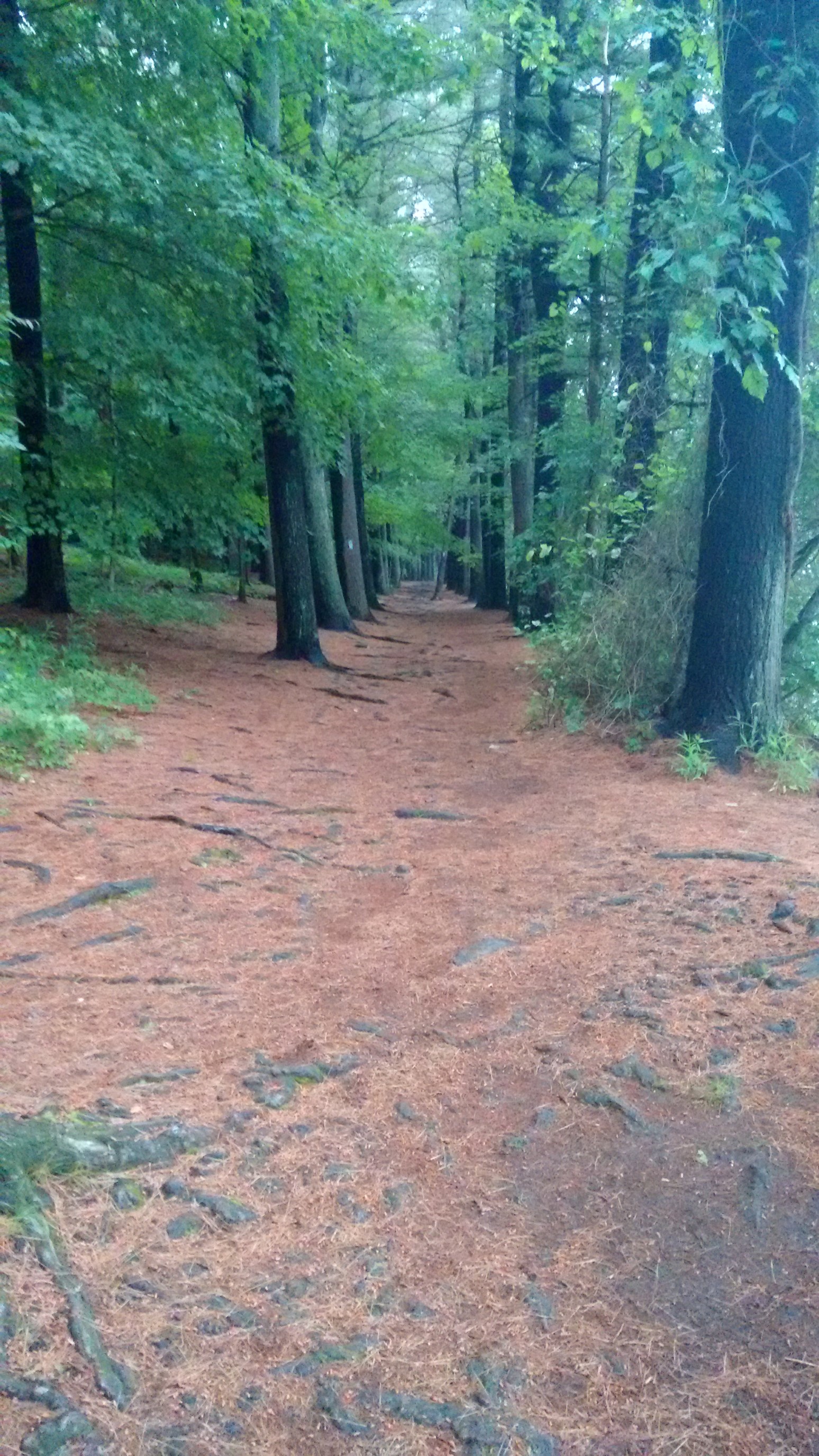
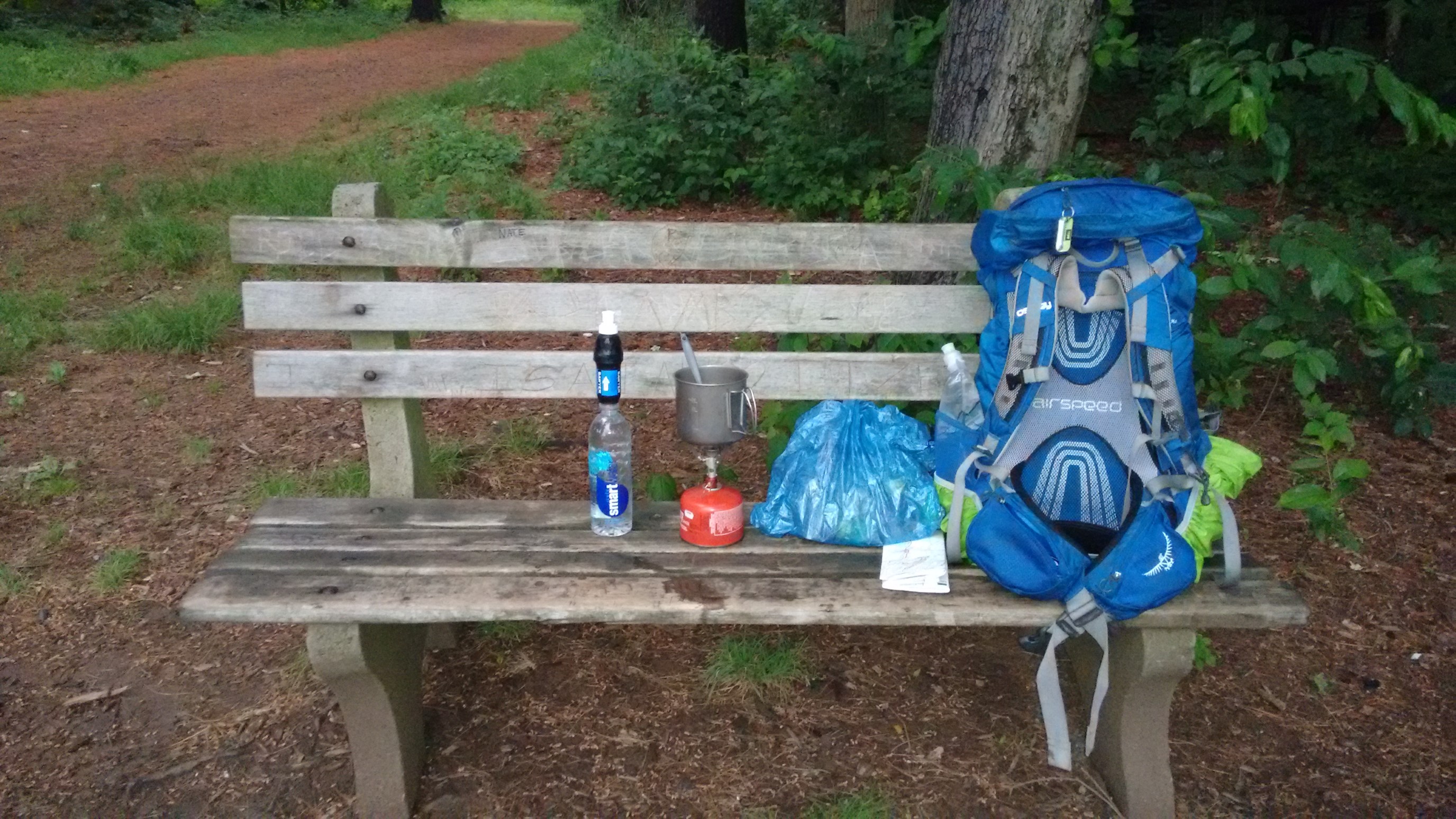
I stopped at a scenic bench and made my dinner, as it was almost 8pm, and I was starving. It’s not quite a picnic table (which I love), but it would work!
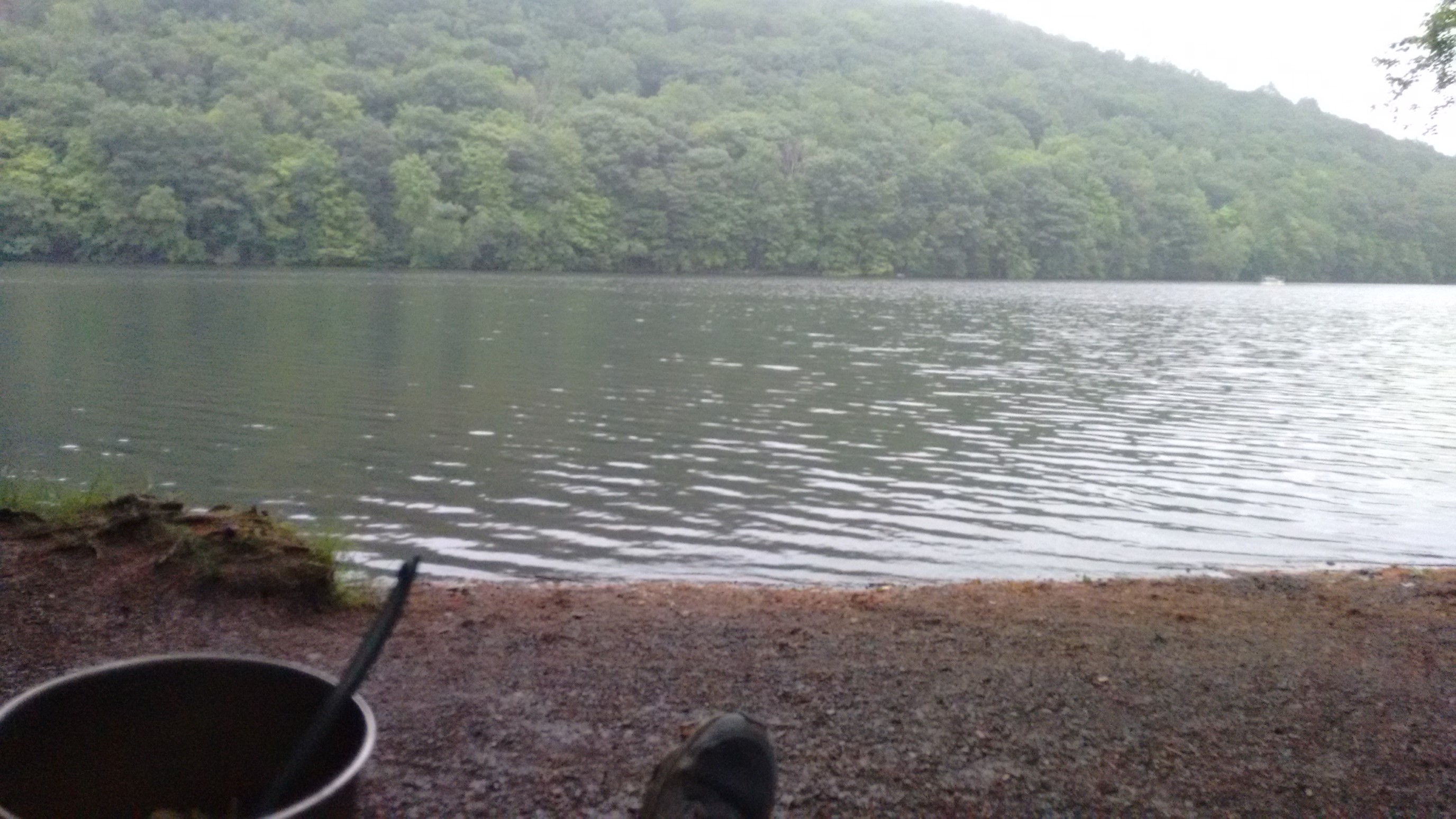
I had some lovely scenery from my dinner bench. Hearing the frogs across the water was very peaceful too.
I had to keep hiking for another hour, to exit a “no camping” zone in this park. The NET would be a very difficult trail to thru-hike in one push, as camping options are so limited. It was getting darker…
After about 15 minutes of night hiking, I was able to reach an area where I could camp.
Day 4: (Sunday June 18th) 13.1mi/21.1km
Snow Hill (50.3) to Hallmere Reservoir/Edgewood Rd (63.4)
The sun rises very early in June, so I was awake at 6:00am, and hiking on the trail by 6:30am. This section of trail followed a stream through a low-lying area, and all the trees had these huge fungus shelves! Cool.
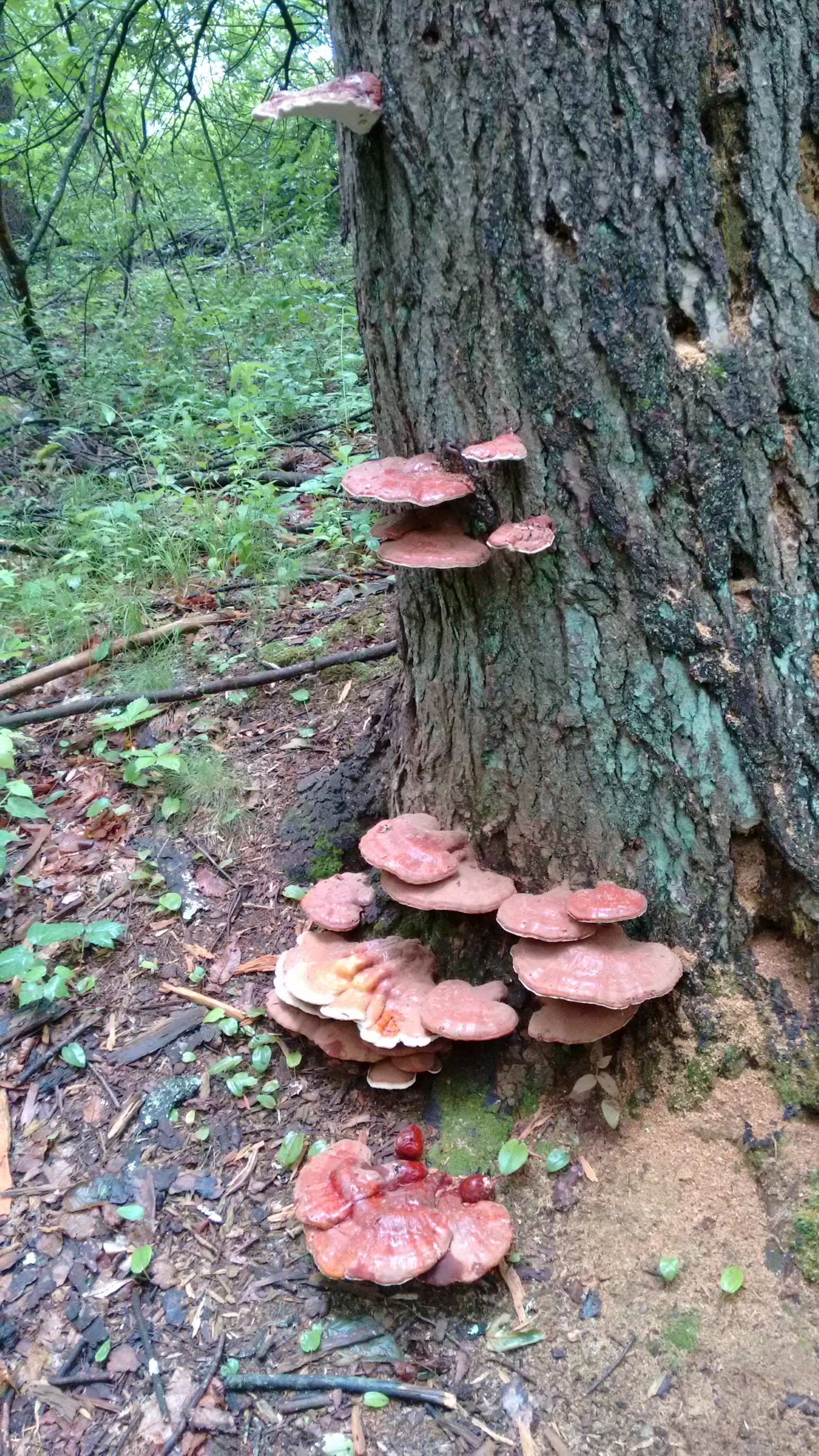
After a mile, I exited the woods, and did the 3/4-mile roadwalk to a highway crossing. My phone needed a charge, so I stopped into an Irving convenience store for an hour and ate second breakfast. I was recording GPS tracks for this entire trail, and that process consumes battery power pretty quickly! By 9am, I was charged enough, and hiked out. I followed paved country roads for another 45 minutes, which had almost no traffic on a Sunday morning. Finally, I re-entered the woods.
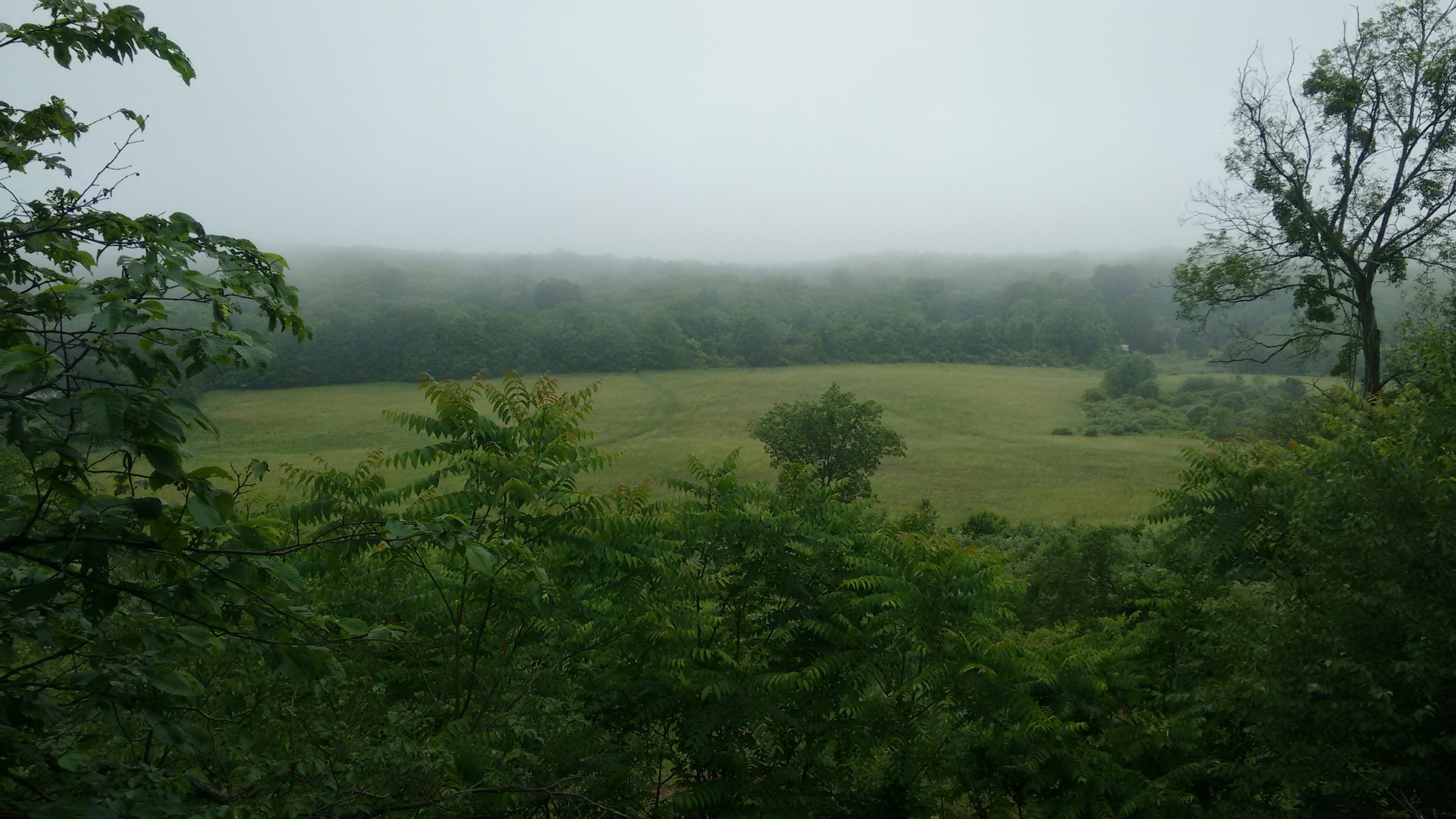
The Merimere reservoir had this strange brick building sitting in it.
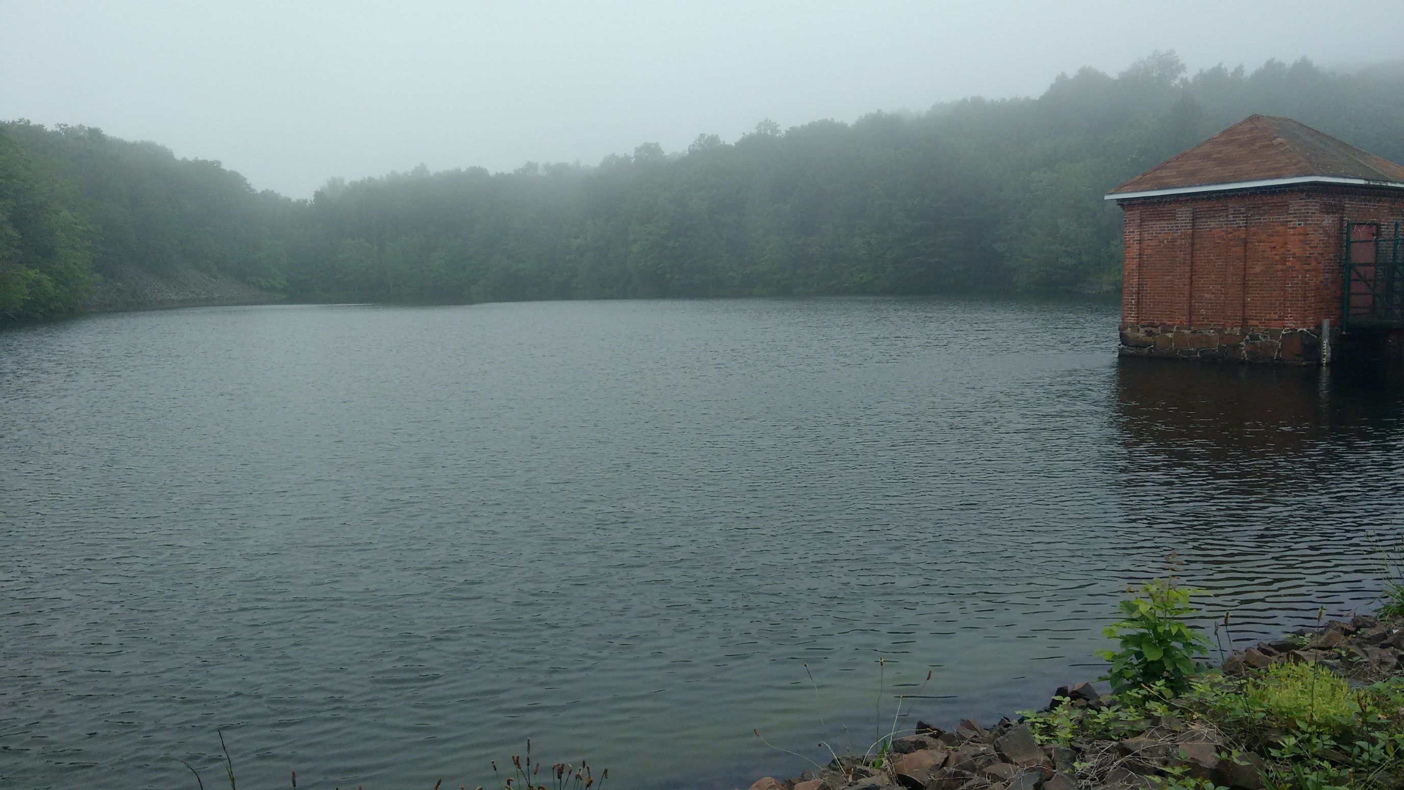
I walked out on the short bridge, but everything was fenced off and locked, and no signs indicated what it was. A mystery!
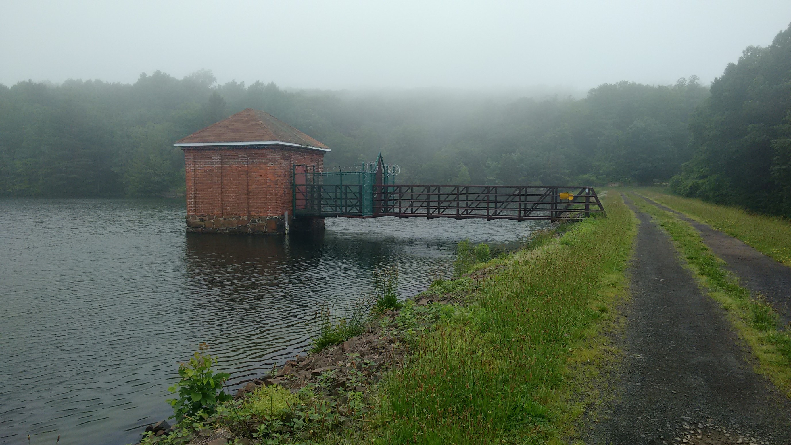
I enjoyed walking along the reservior for an easy mile, and then the trail started to climb UP.
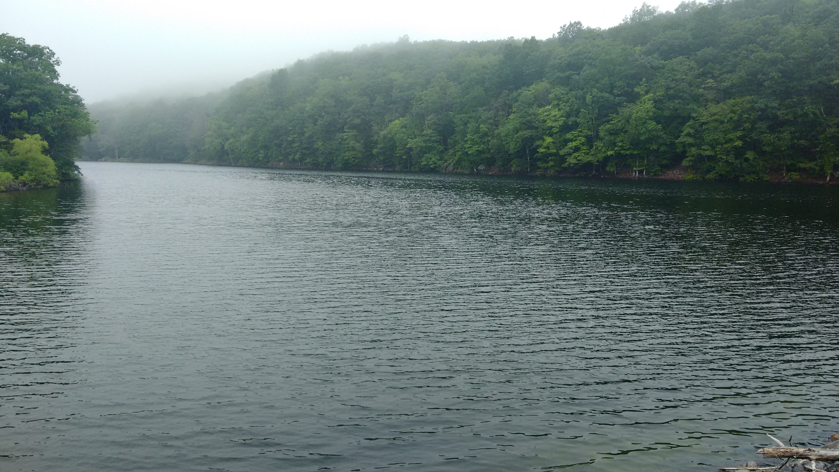
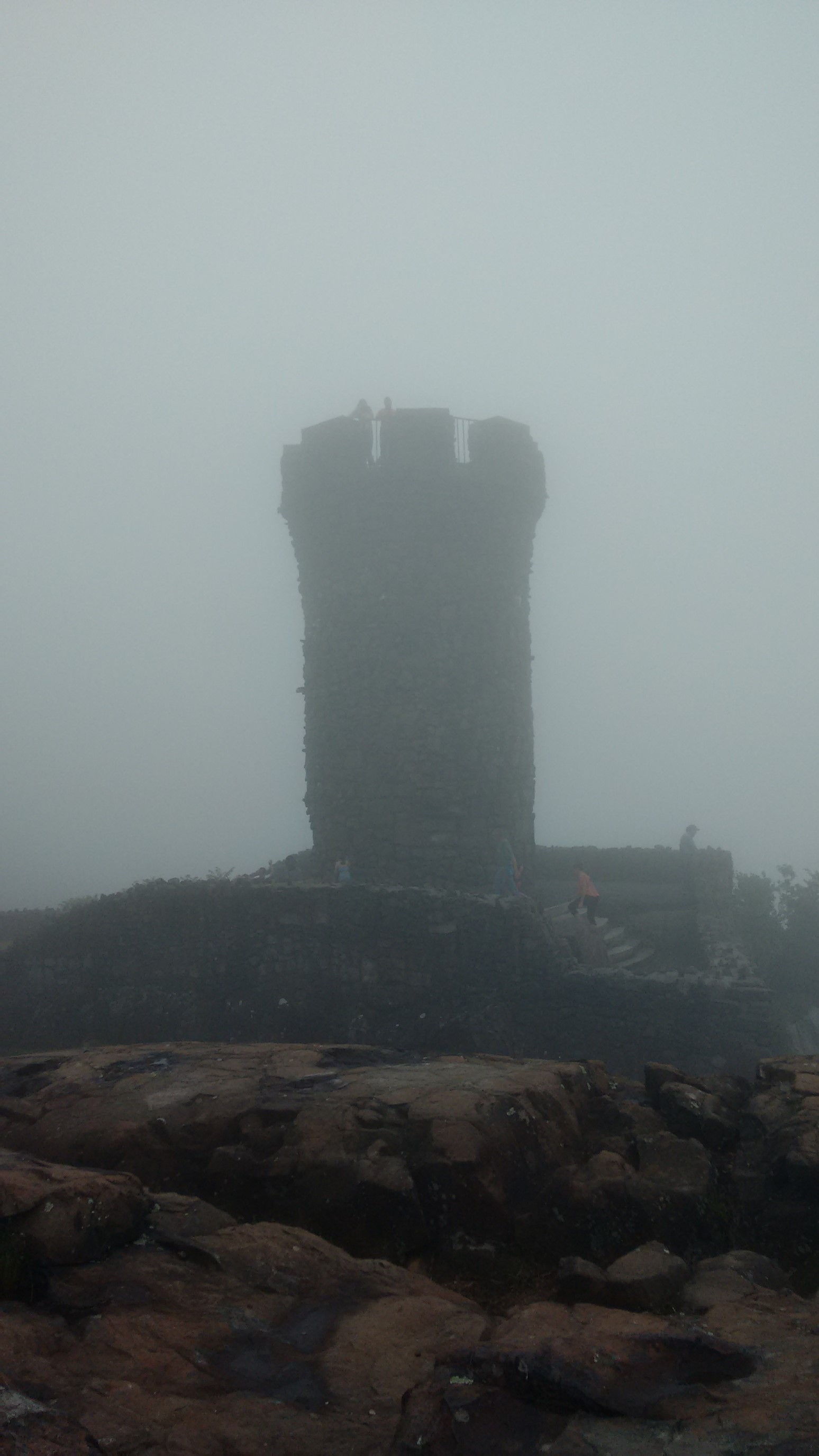
At the top of the very steep climb was East Peak. And it had a real, legit castle tower! So cool.
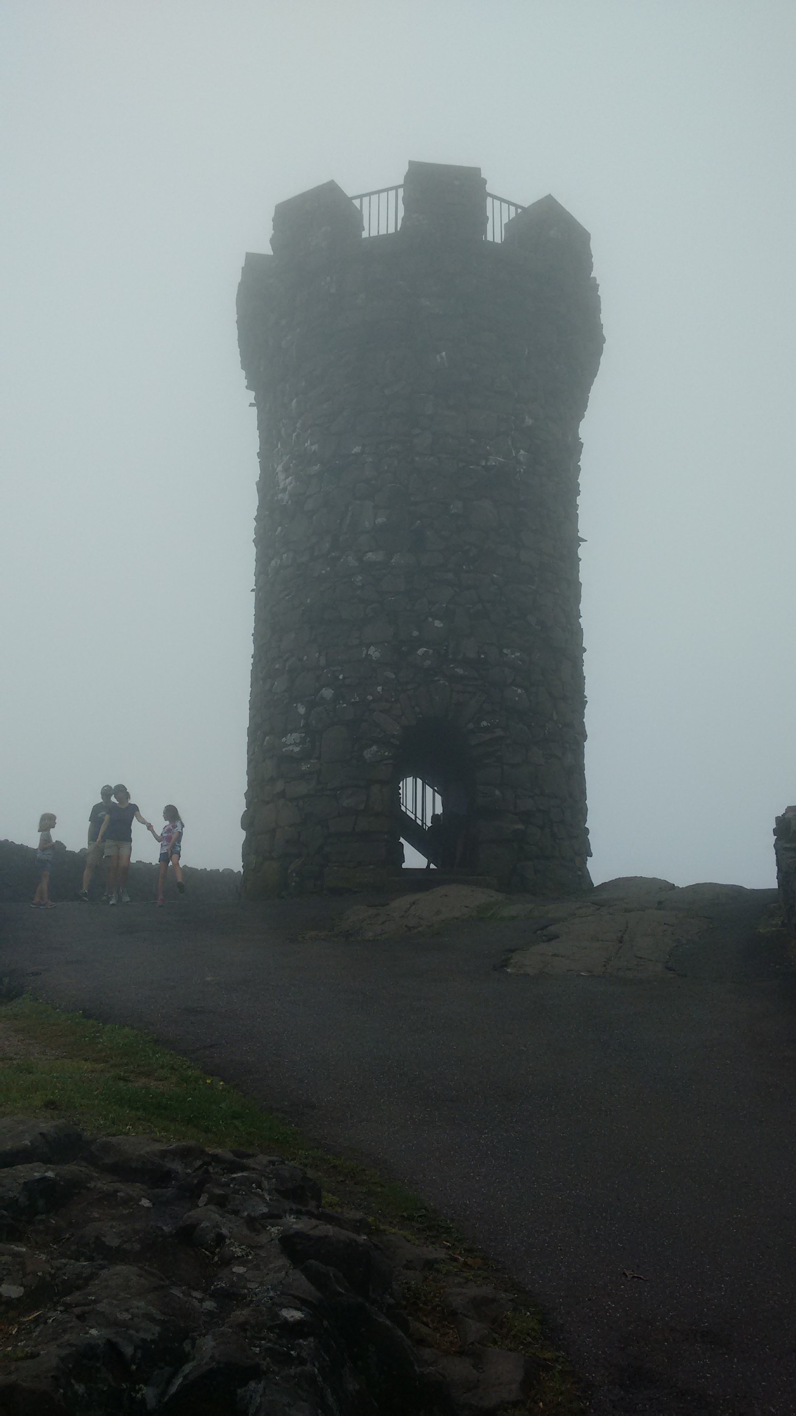
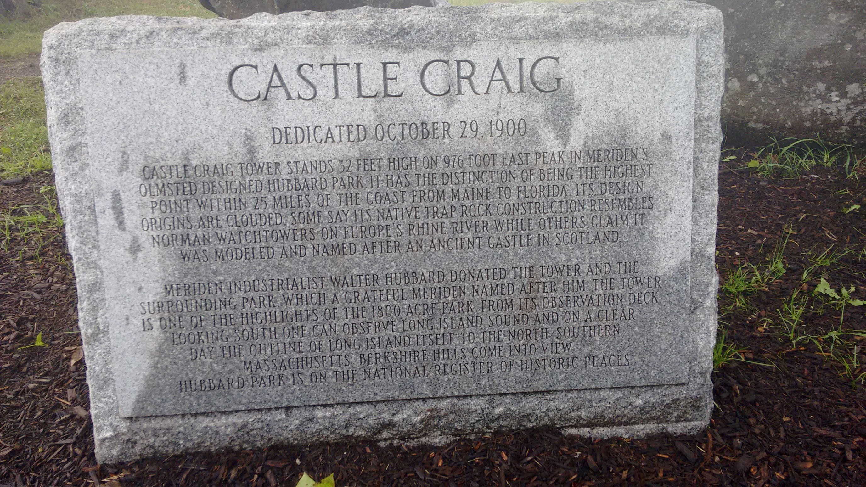
It’s a 32-foot tall tower, on the summit of East Peak (976ft). It has the distinction of being the highest point within 25 miles of the coast, from Maine to Florida.
There were lots of families up there on a weekend.
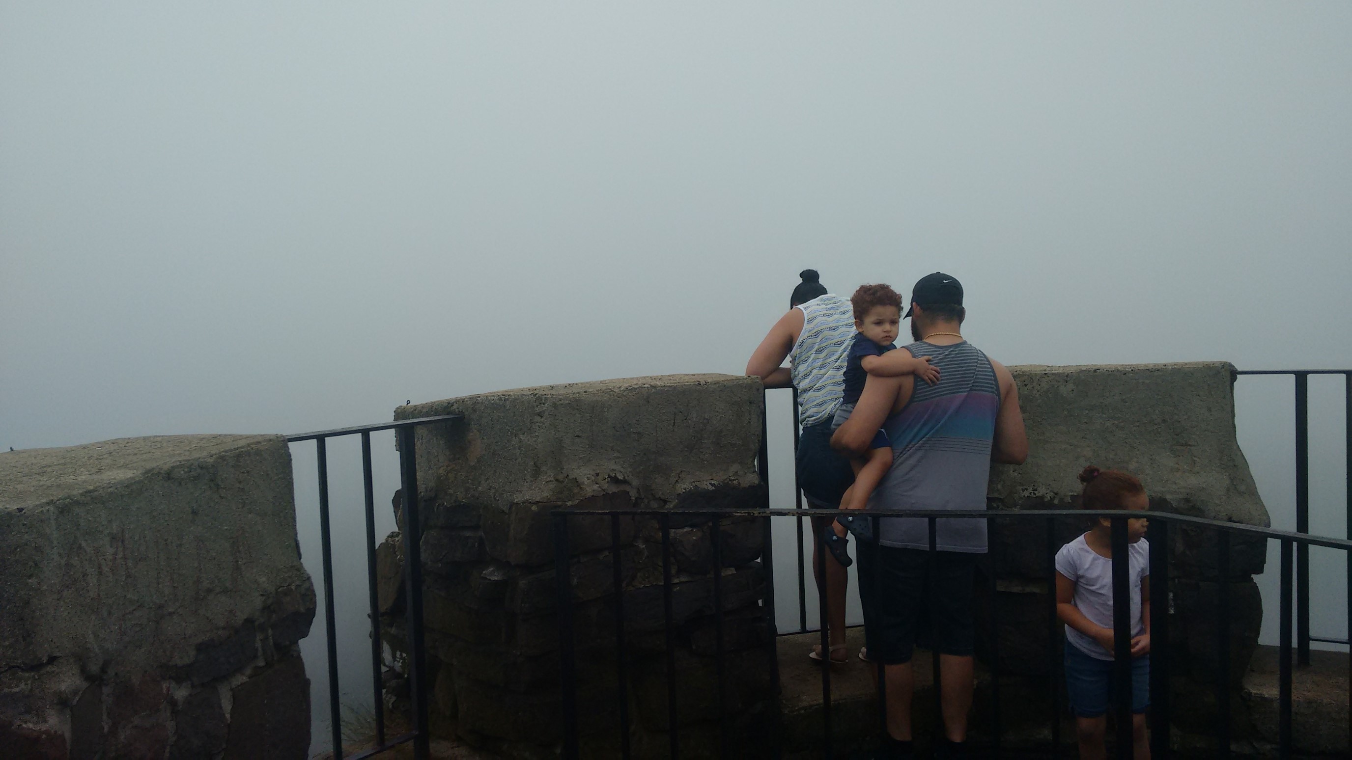
I’d assume it normally has a spectacular view, but the day was very foggy.
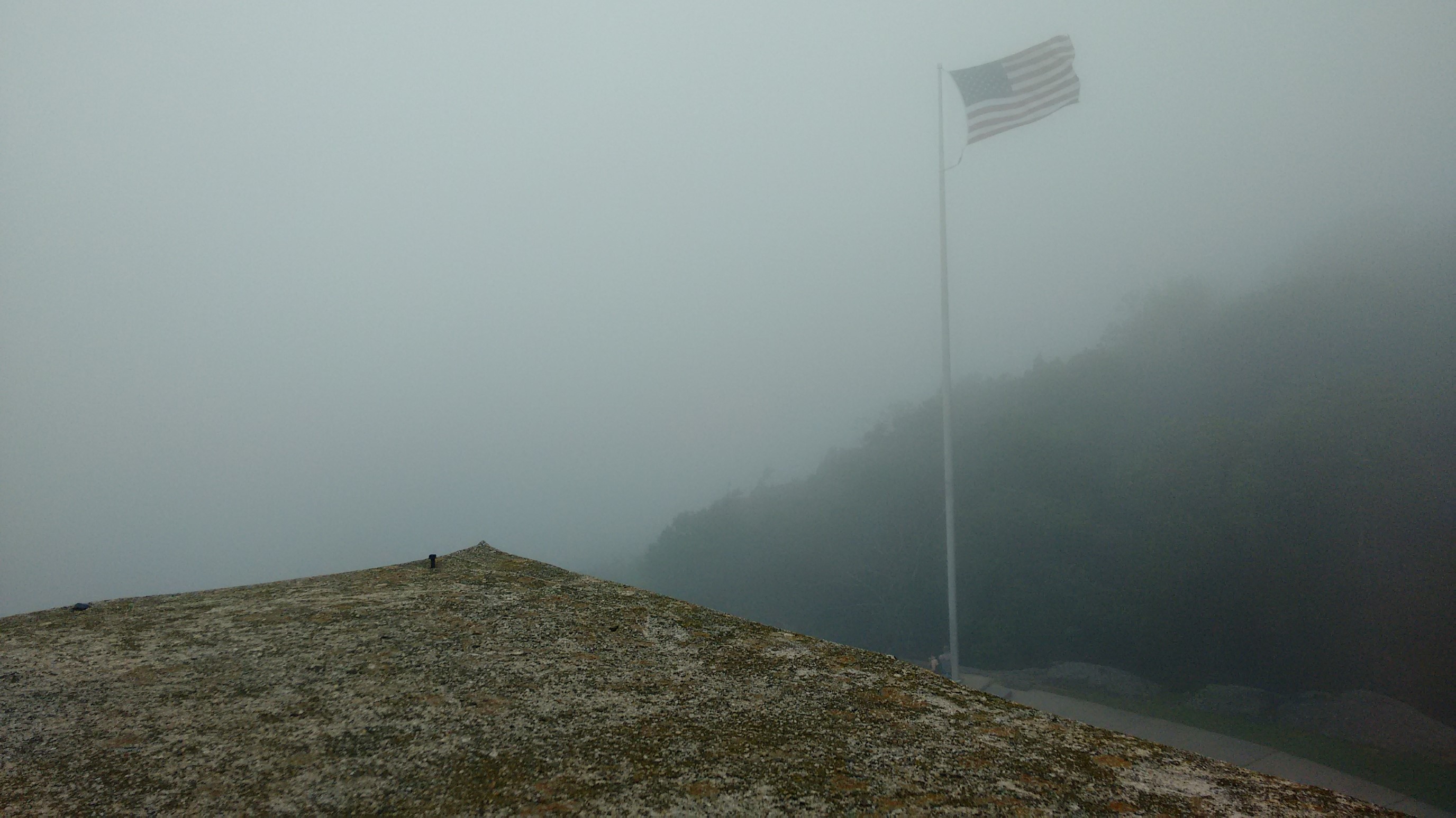
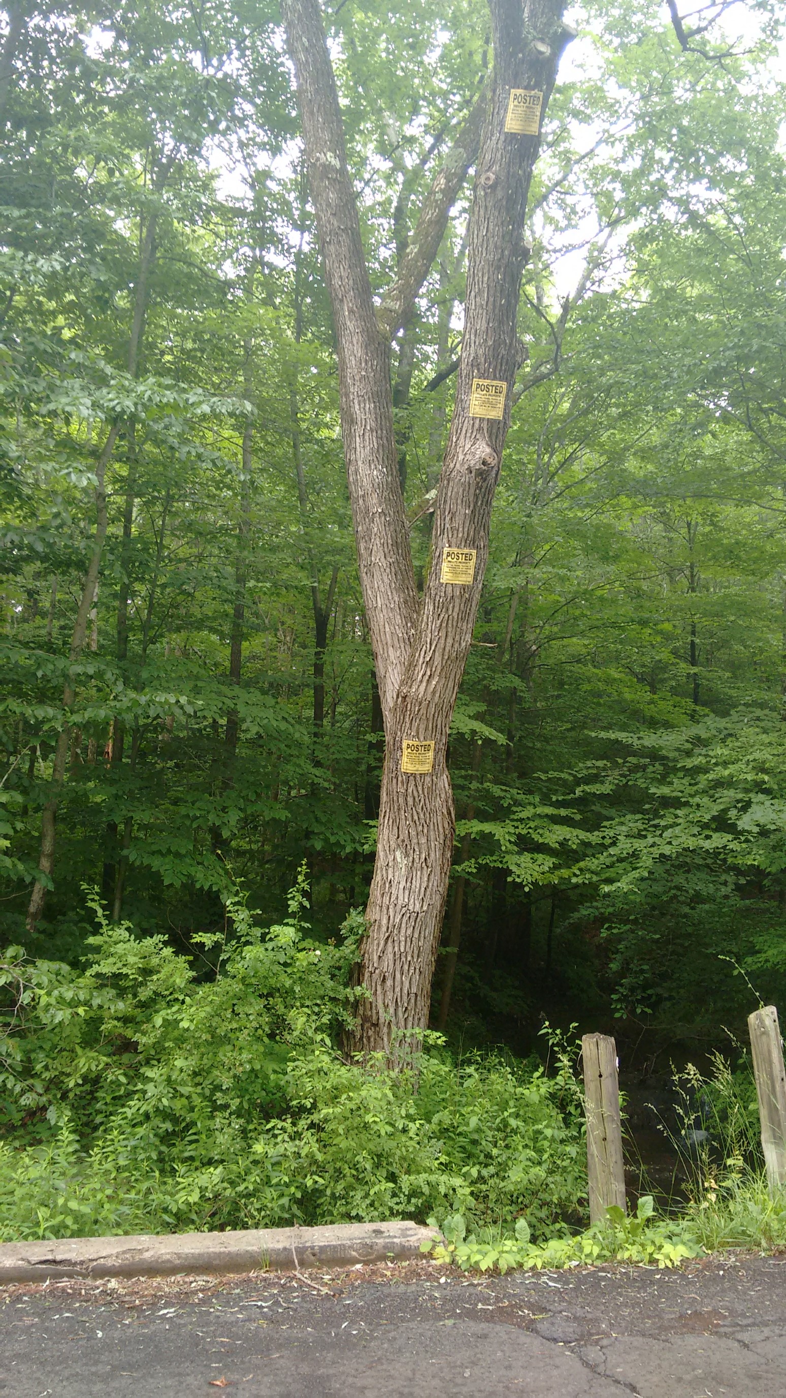
I walked away from the crowds of the castle and had lunch at a picnic area a half mile away. I had a nice afternoon of walking a wooded ridge, it didn’t have any viewpoints, but it was very relaxing. I forgot to take any photos until I had arrived at my finish trailhead! Oops. I dispatched an Uber from the trailhead, and while I was waiting I noticed these ridiculously over-zealous “No Trespassing” signs. Who is that tall?!
My Uber arrived 10 minutes later (it’s suburban Connecticut!), and I was back at my car 30 minutes later. Despite having hiked 30 trail miles, I actually wasn’t that far from my car, since the trail is so meandering in this section.
I have two big trips planned for July – one to climb Mt Rainier (Washington), and another to hike the Wind River Range (Wyoming) – so I won’t be back on this trail until August. Goodbye for now, New England!