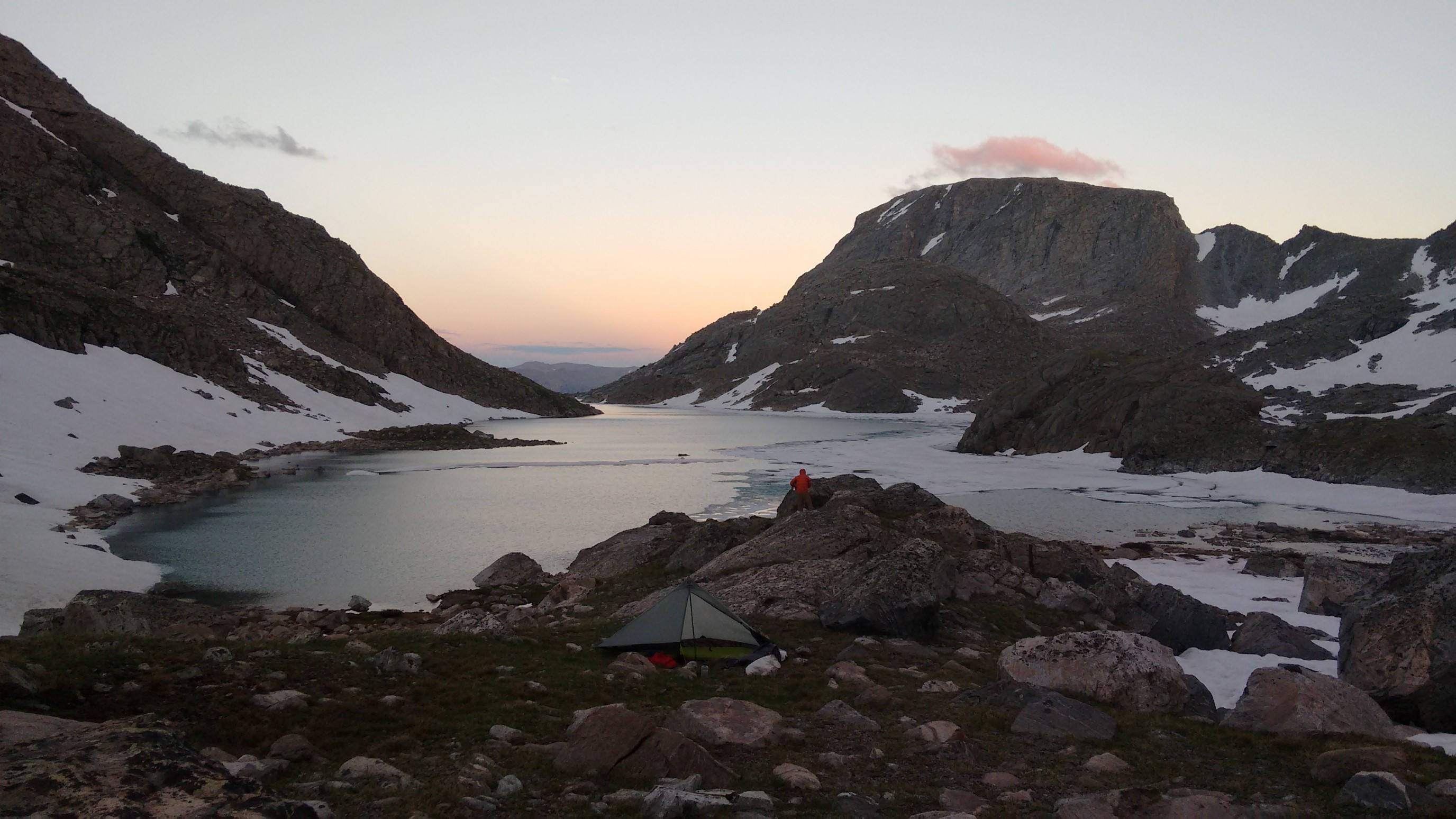
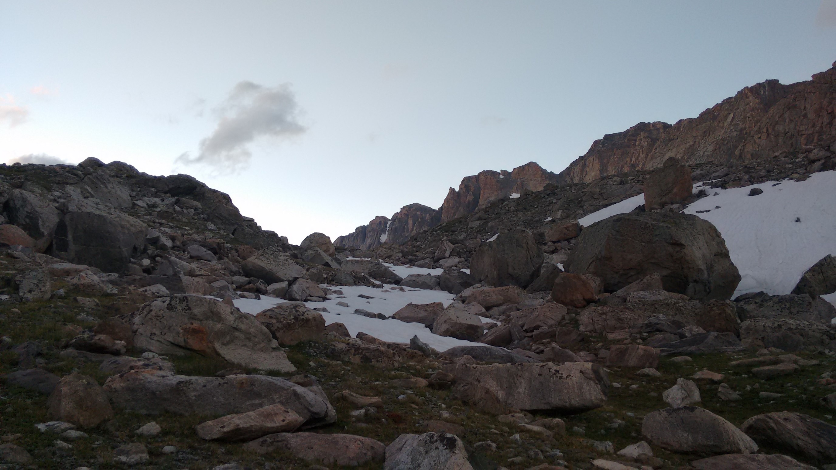
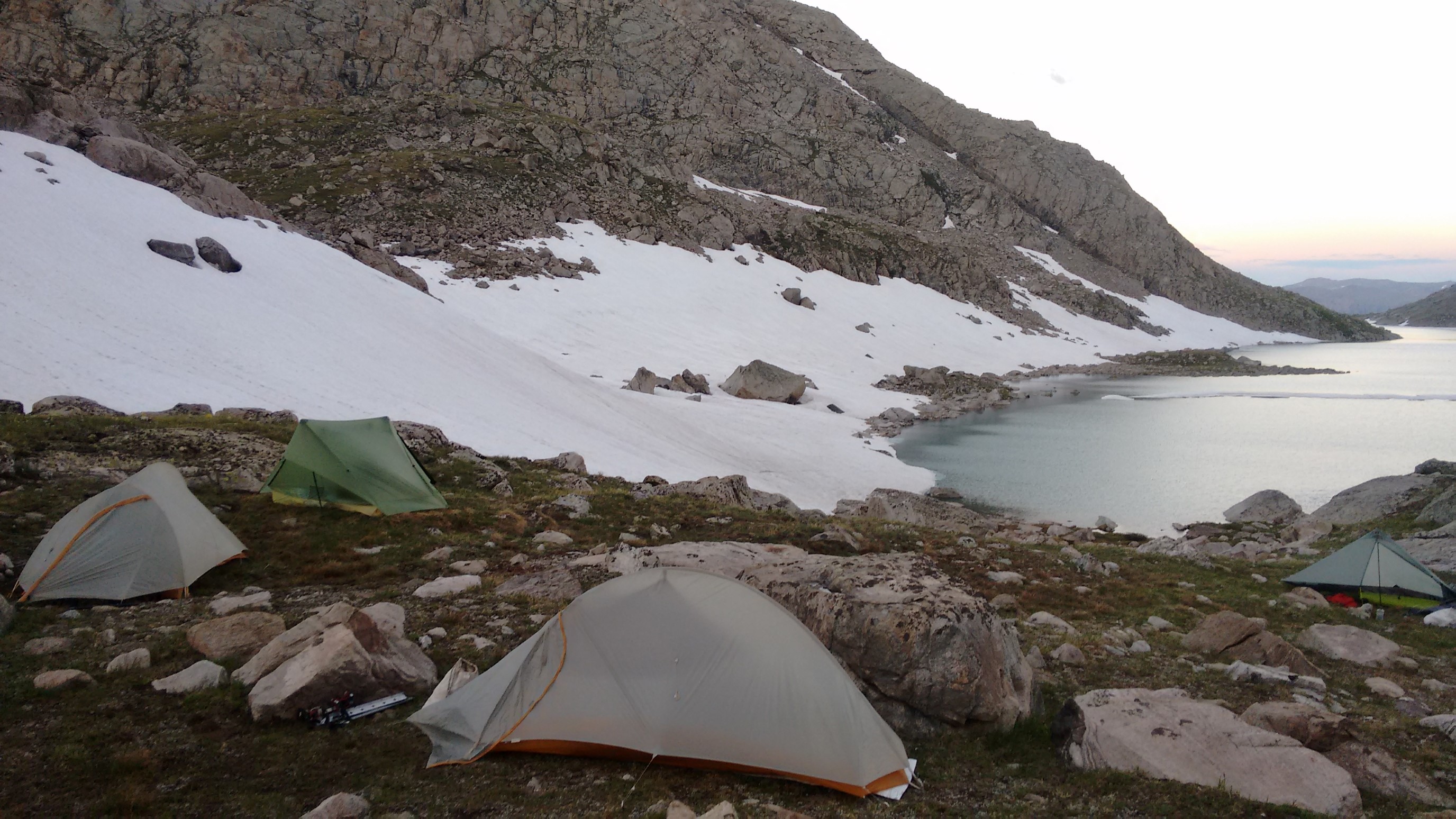
Thursday 7/27/2017, 13.4mi/21.6km
Hay Pass Trail jct (55.8/10,850ft) – Lake below Fortress Mountain (61.7/10,990ft) (WY) + 5.5mi Hay Pass resupply + 2.0mi Camp Lake alt
We woke up extra-early at 4:30am, packed up quietly as to not disturb the group, and were on trail with headlamps by 5:15am. We hiked quickly up the trail, reaching a lake after an hour, and re-gaining the top of Hay Pass by 7:05am. Five bonus miles, done!
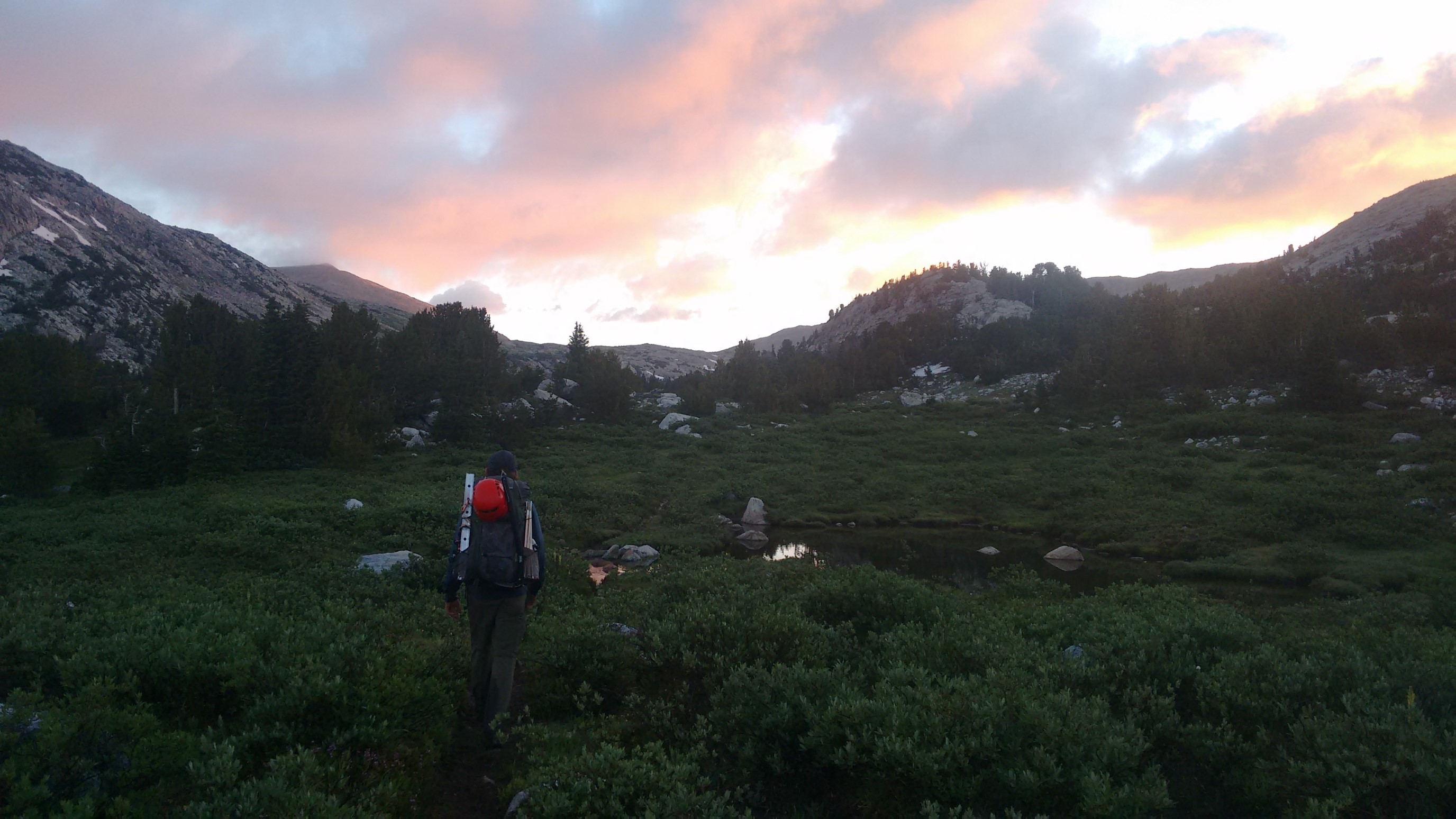
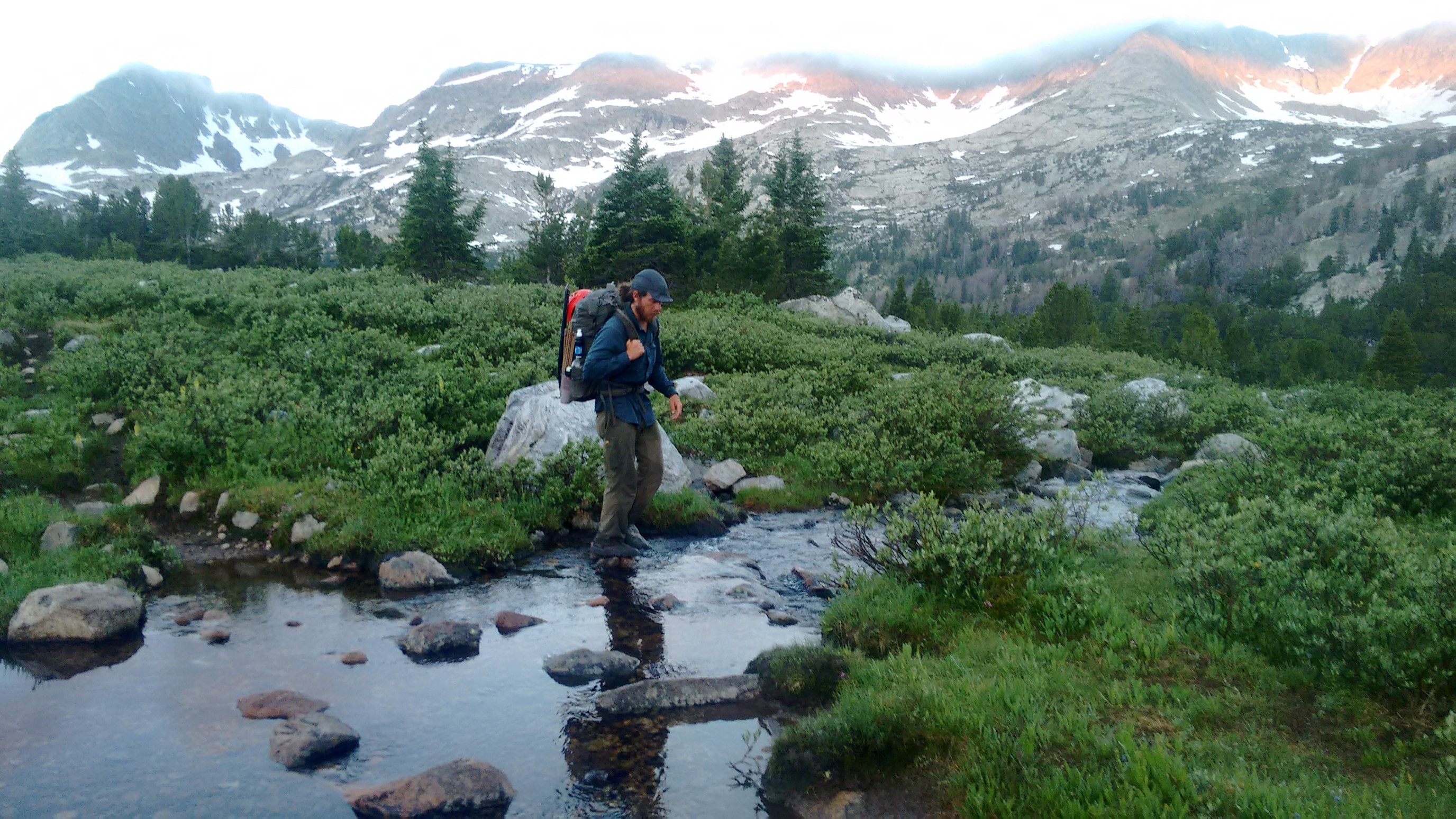
The view from the top of Hay Pass.
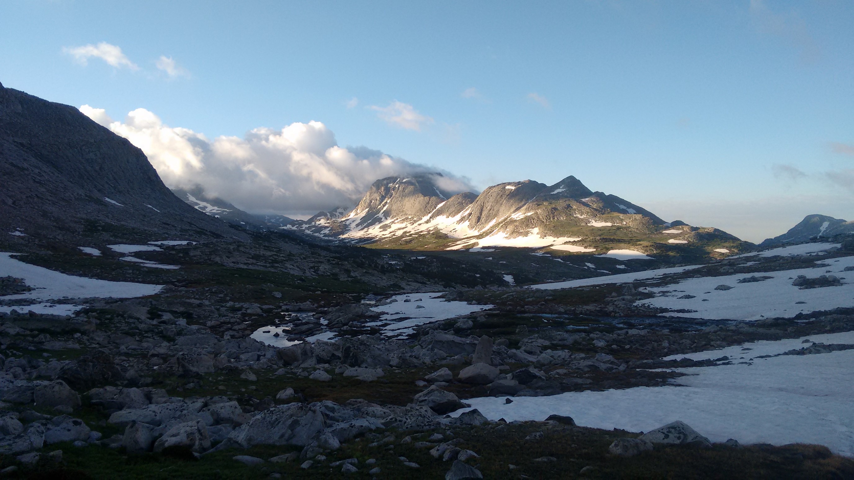
We continued down the trail, past Dennis Lake, and re-joined the primary route.
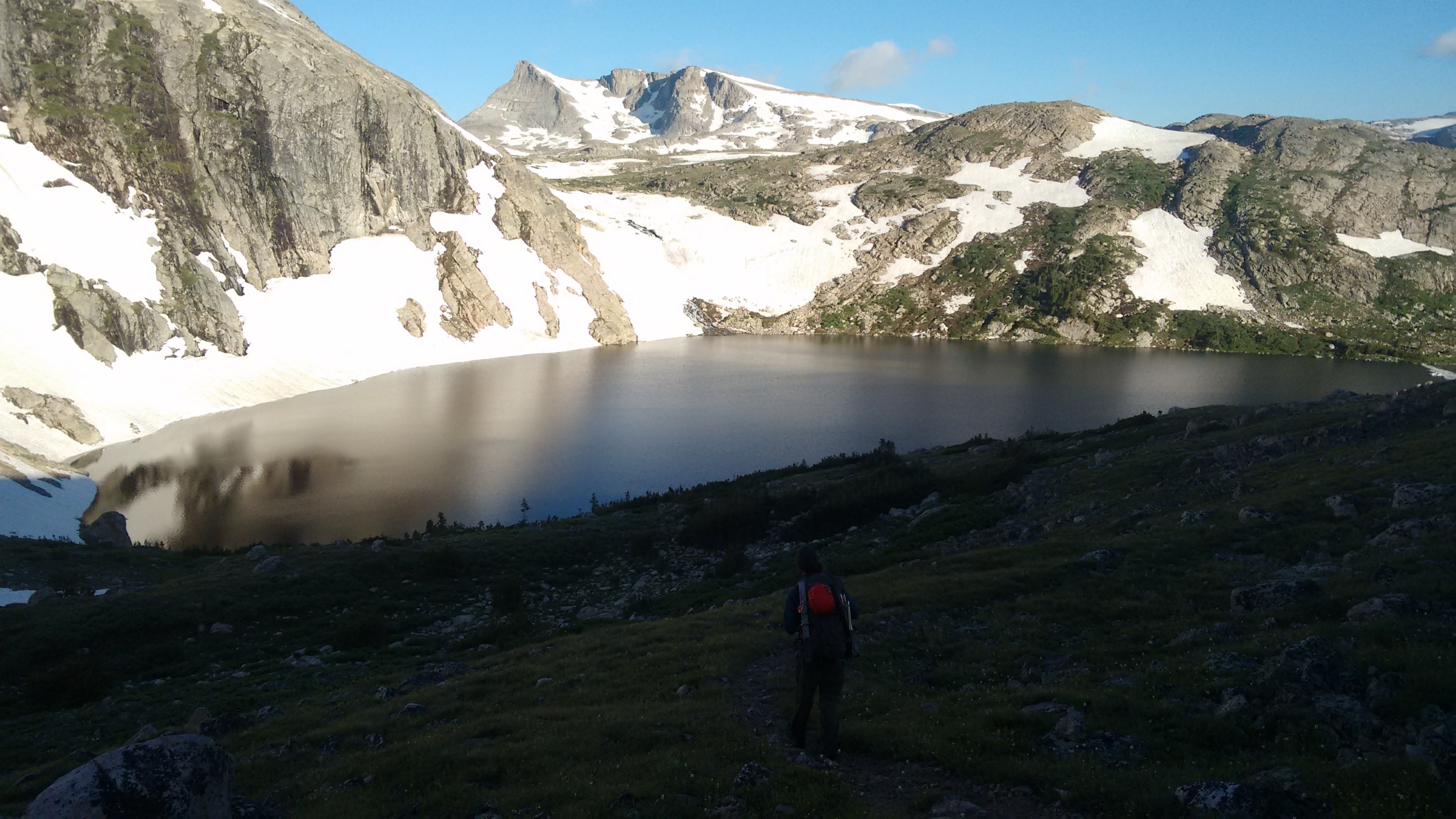
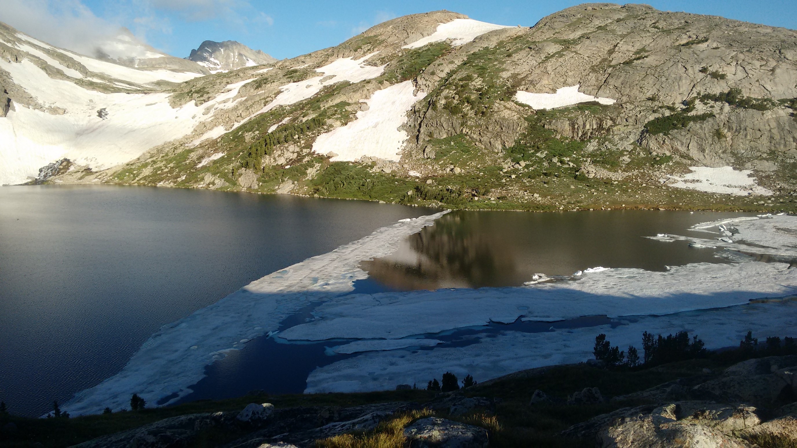
We hiked all the way down to Golden Lakes. The trail faded in/out in spots, but we made good time. We passed a NOLS group camped by Upper Golden Lake, and we stopped for an early lunch at the other end of Golden Lake.
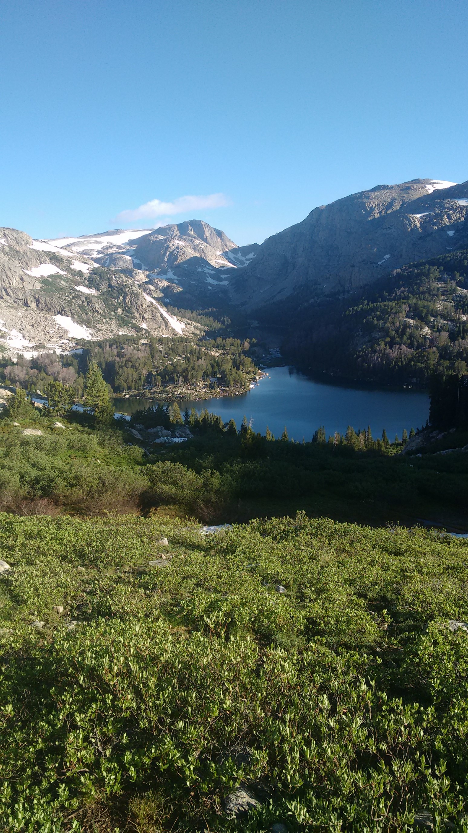
We had a massive yard sale (unfortunately no photos) to dry out all our gear (tents, sleeping bags). We listened to music, and even a Britney song, haha.
After an hour break, we climbed up the 600ft hill, to reach the lake at the base of Douglas Peak Pass. We debated for a while whether to go over the pass, as it may be very snowy on the north side. We started to head up to the pass, then Quickham saw a snow cornice on a neighboring mountain, which meant there’s probably one blocking our pass too. So, we decided to detour around the pass, and hike the Camp Lake alternate, which added 2 miles.
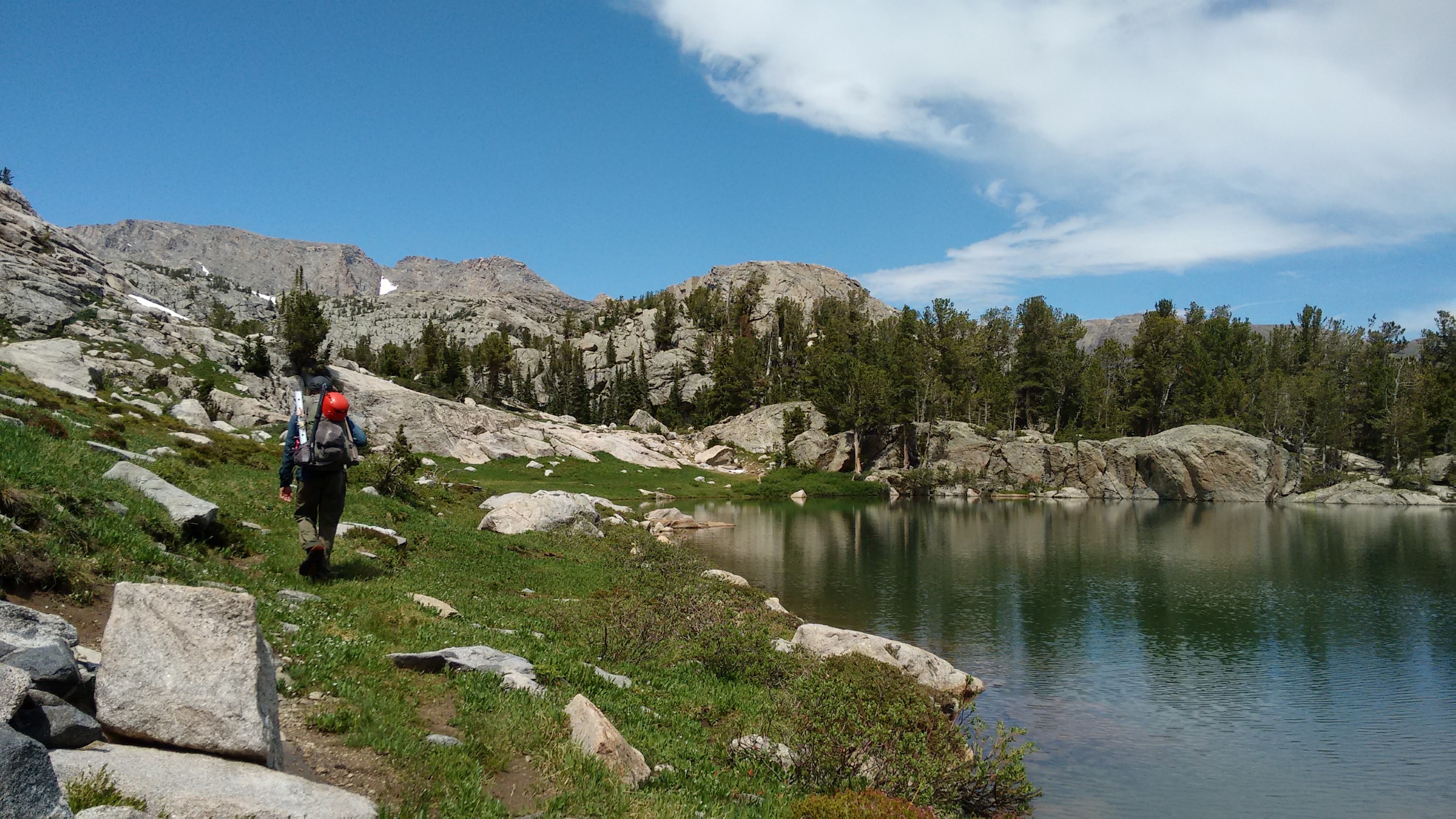
It took us 20 minutes to get back down to the trail, and as soon as we are on it we meet two guys and their dog. They gave us info about the trail descent, and we executed their instructions to switchback down a talus field, then traverse the slick snowfield. We got down to Camp Lake without incident, then immediately started climbing back up the other side. The first 200ft was easy, and we passed by a couple small lakes. The rest of the climb was a puzzle – we eventually decided to climb some dry slabs to the south of the river. It was mostly easy climbing, but there were a few steep and thin parts. Eventually I found a way through to the top. Quickham is fast on slab, and he had good shoes!
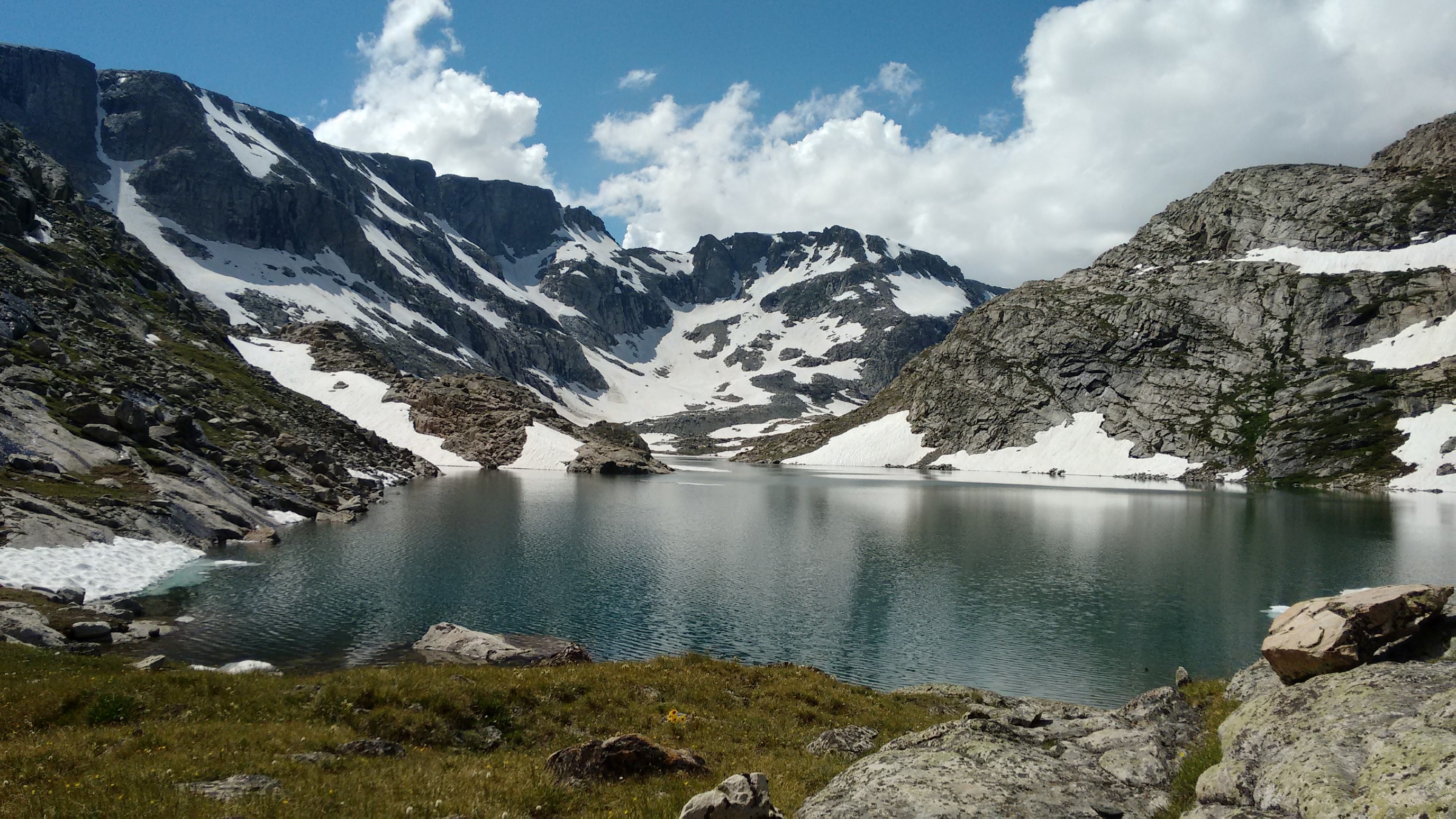
We took a break at the top by a lake and eat.
We decided that the lakeshores are too steep and snowy to traverse, so we hiked behind/around a hill on the south shore, and it dropped us back onto the main route.
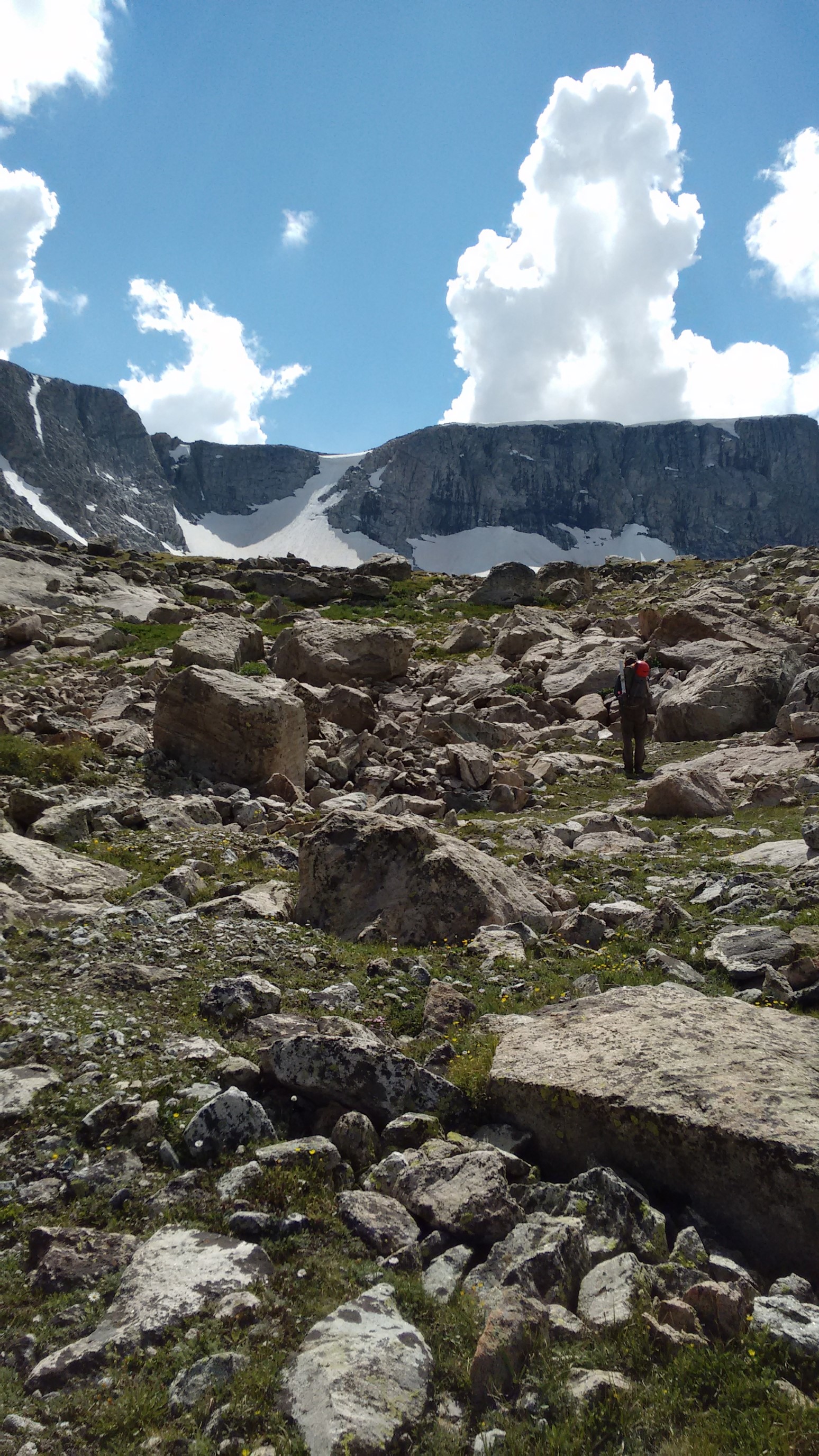
We continued on along the lake, and then it started raining. Hard. We backtracked a quarter mile, to hide under an huge overhanging boulder, and plan our options. The sun came out after an hour, and we saw two other hikers go by below us!
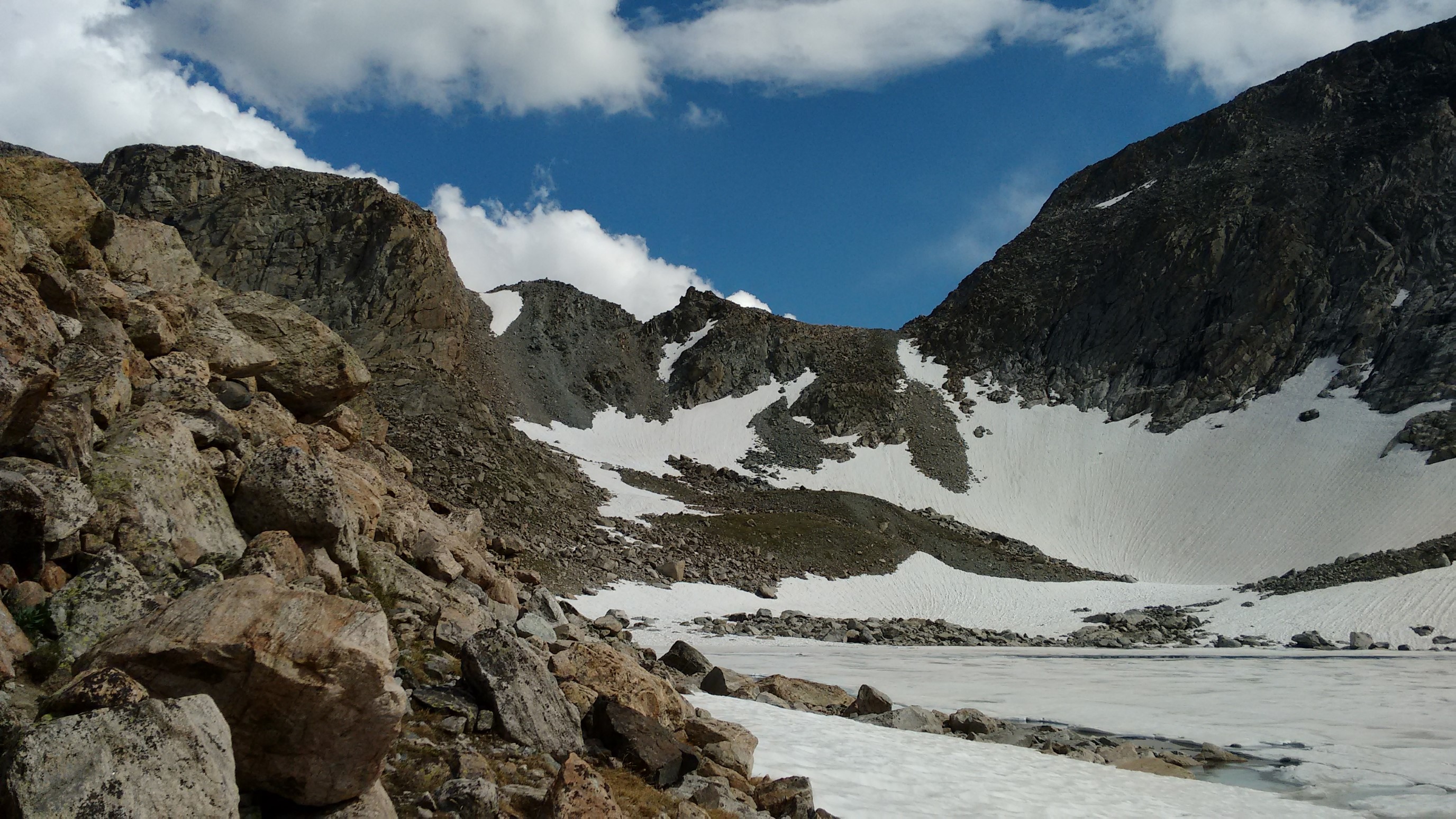
We made an effort to catch duo, and they introducted themselves as Guthook and Hikerbox special. We hiked another half mile, and found a flat dry camp spot. The four of us setup camp together, ate dinner, and went to bed before 9pm.
