Day 11: (Saturday November 11th) 17.5mi/28.2km
NH Border (208.0) to Richardson-Zlogar Cabin (190.5)
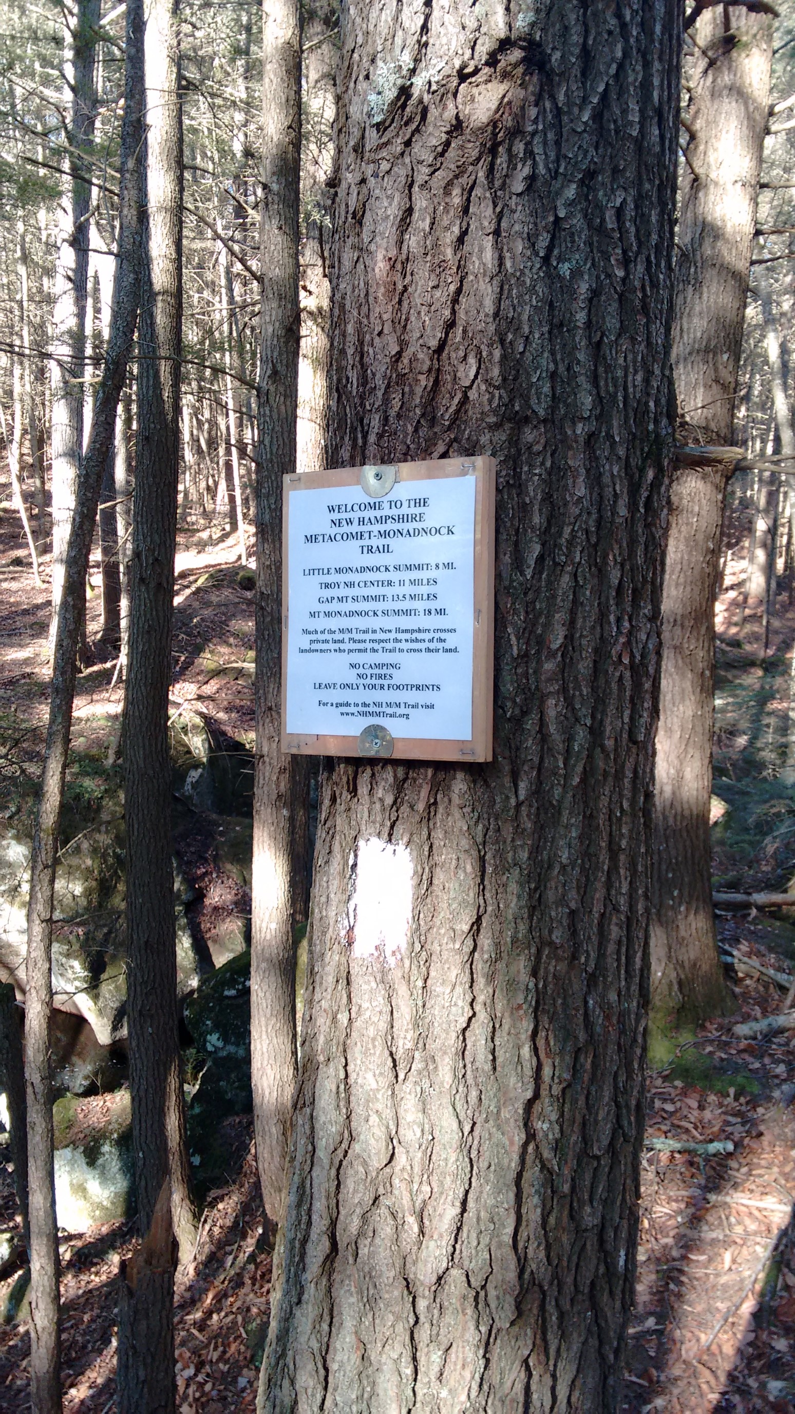
I was feeling good about today – it was sunny weather, this was my last section, and I was hiking with my friend Michele! We got started early, staging each of our cars at a terminus trailhead, and then heading into the woods at 7:30am. We hiked the 3/4 mile trail to the NH border, tagged the sign marking the northern terminus, and then retraced our steps back to the car.
It was a cold morning, but very sunny!
The temperature was near freezing when we started.
We picked up some more snacks from the car, and continued past the parking lot headed South.
Since it was now mid-November, the foliage is almost gone, and the scenery was opening up again!
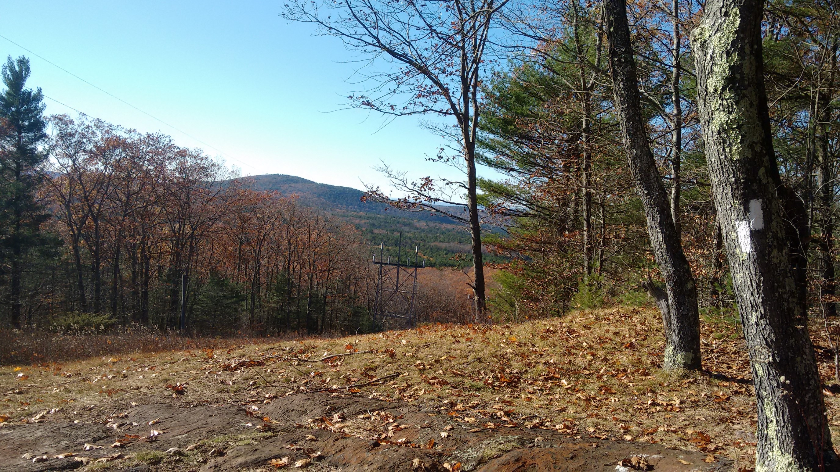
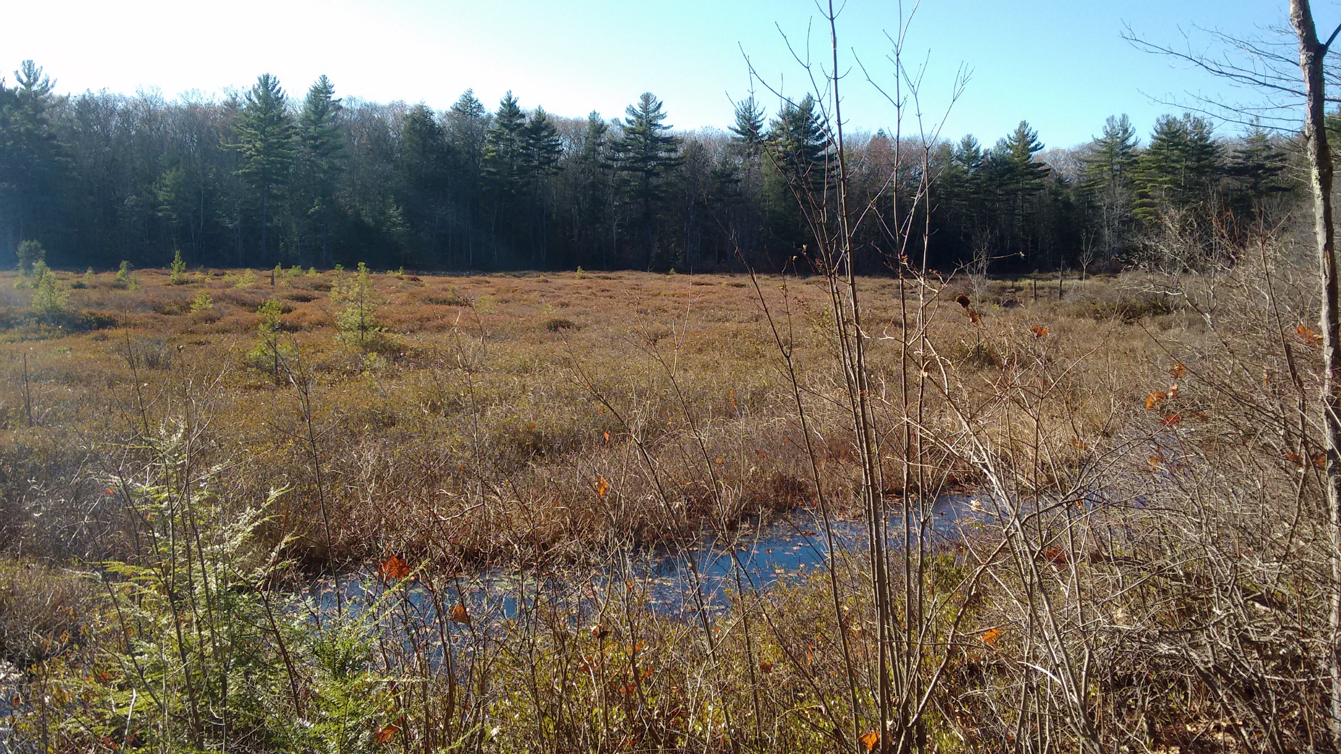
This section traversed some marshy lowlands, which had nice long views across the small valleys.
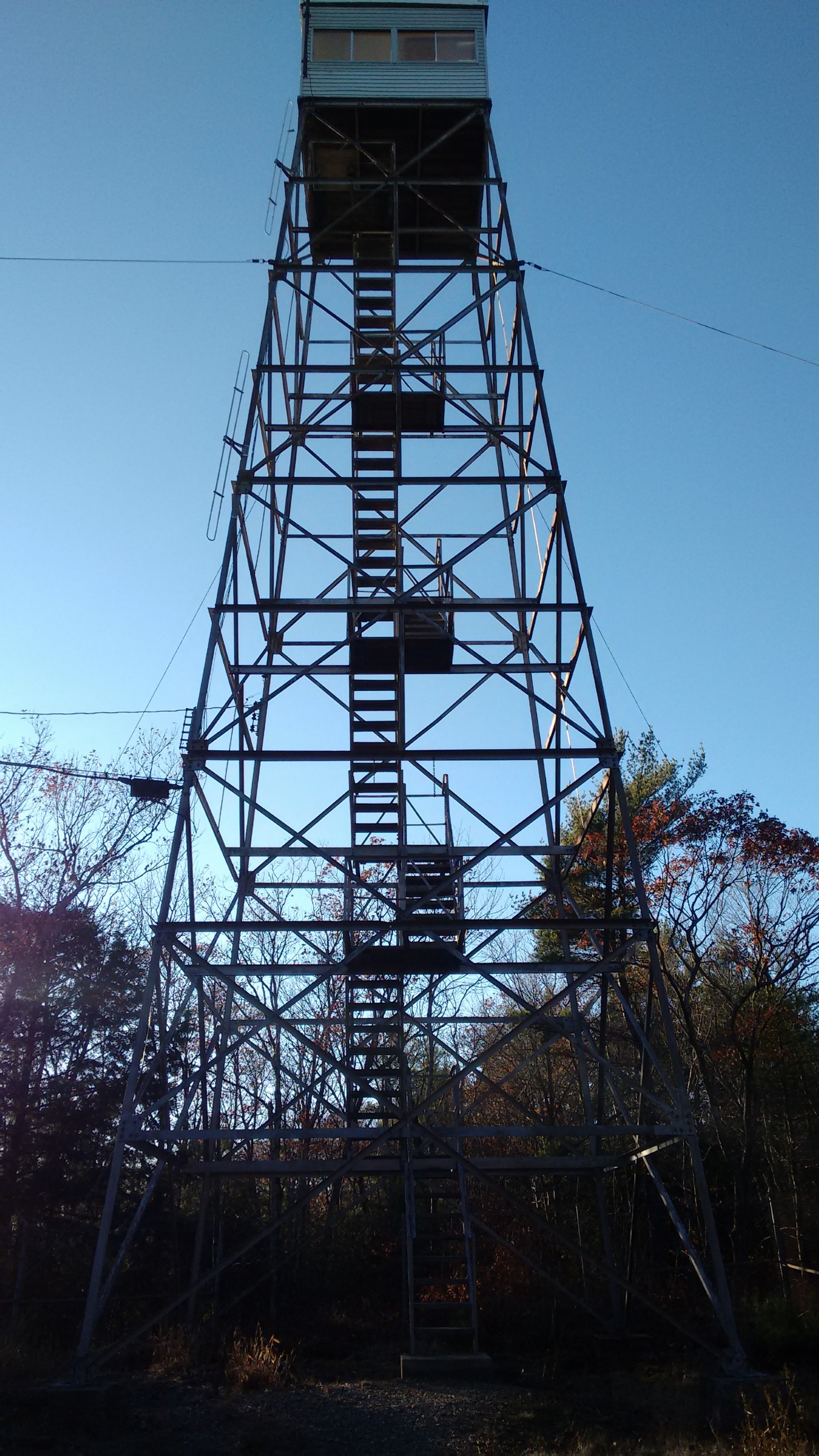
We stopped for a late lunch at the Mt. Grace fire tower. Mt. Grace is the highest point on the entire NET, at 1617ft/493m. I walked up and down the stairs a couple of times during lunch to stay warm.
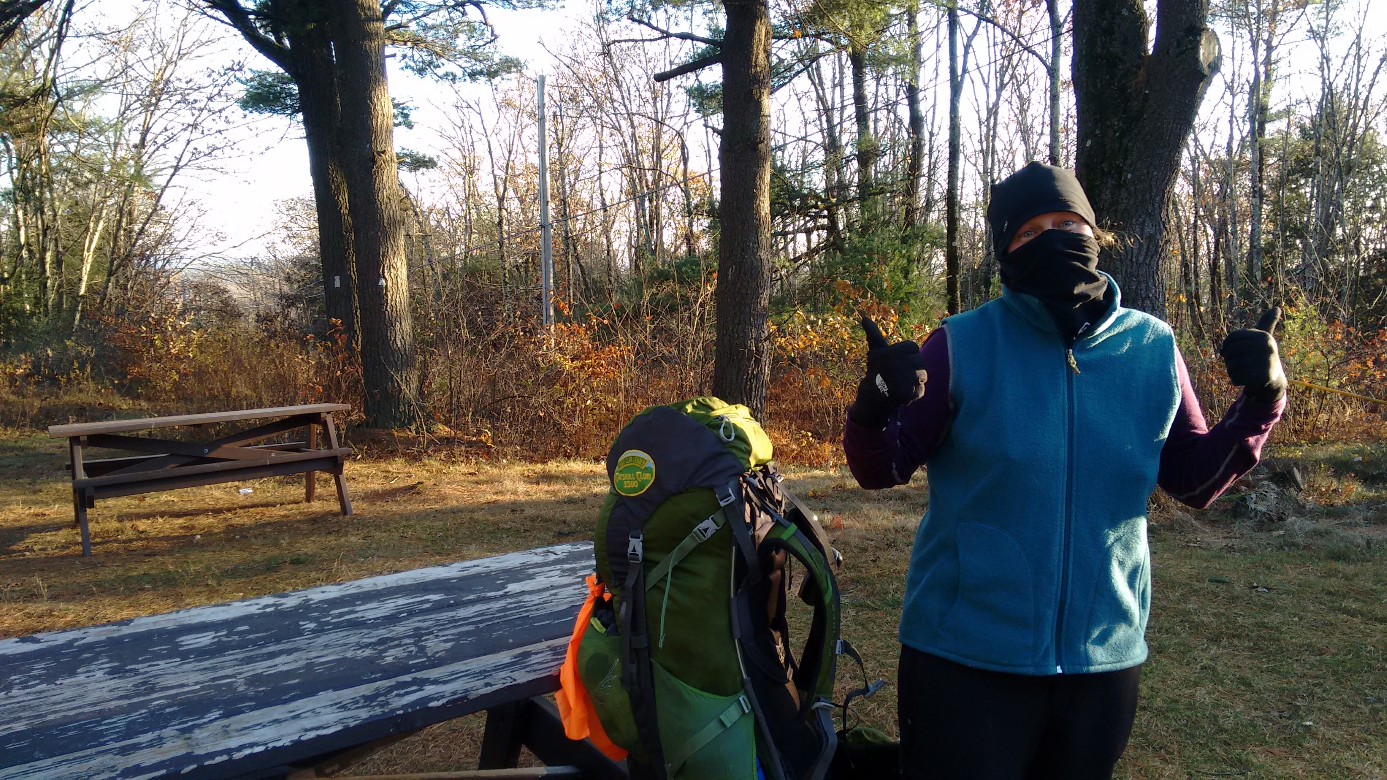
Michele demonstrating how cold it was, and it’s 1pm!
The rest of the afternoon we hiked in a Westerly direction, into the setting sun.
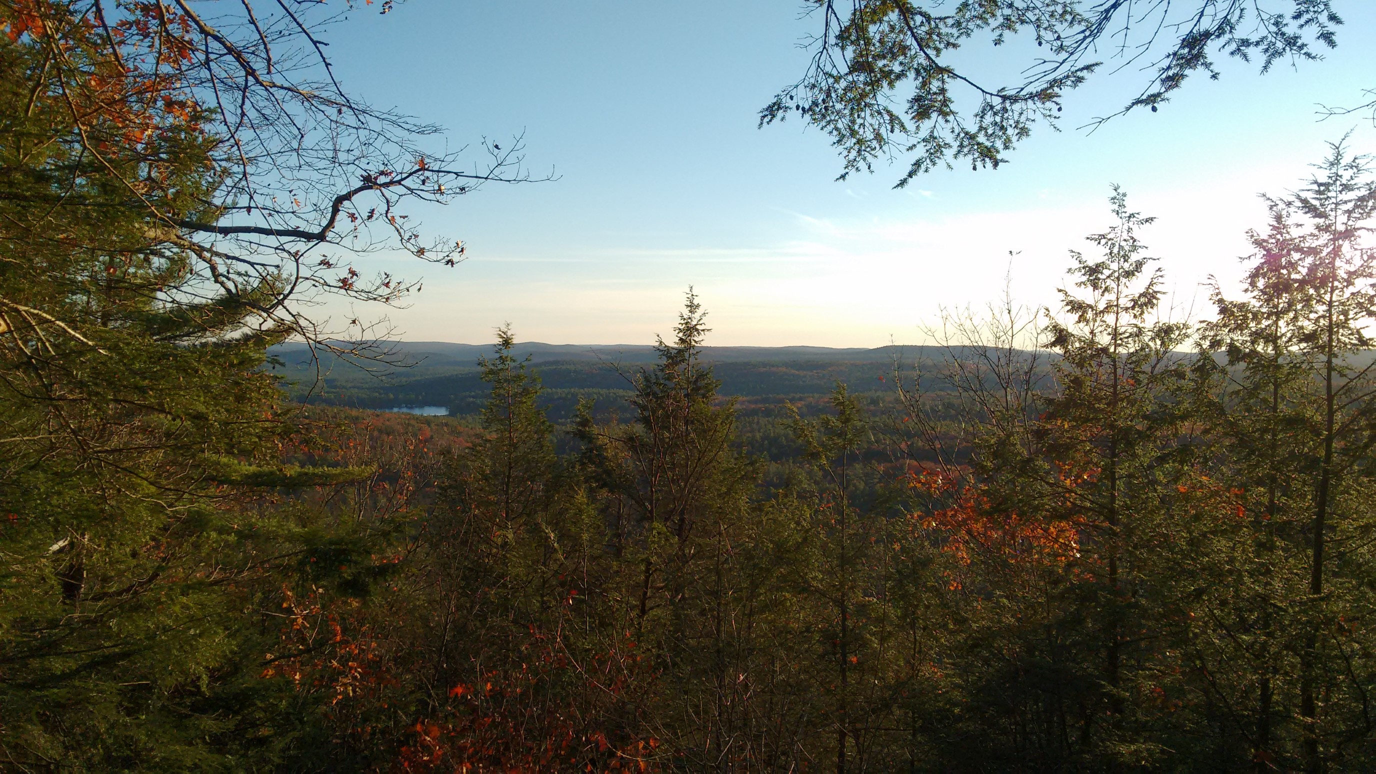
The evergreen trees were nice for blocking the wind, but it was nice to have an opening once in awhile. We could see so far on this cold, clear day!
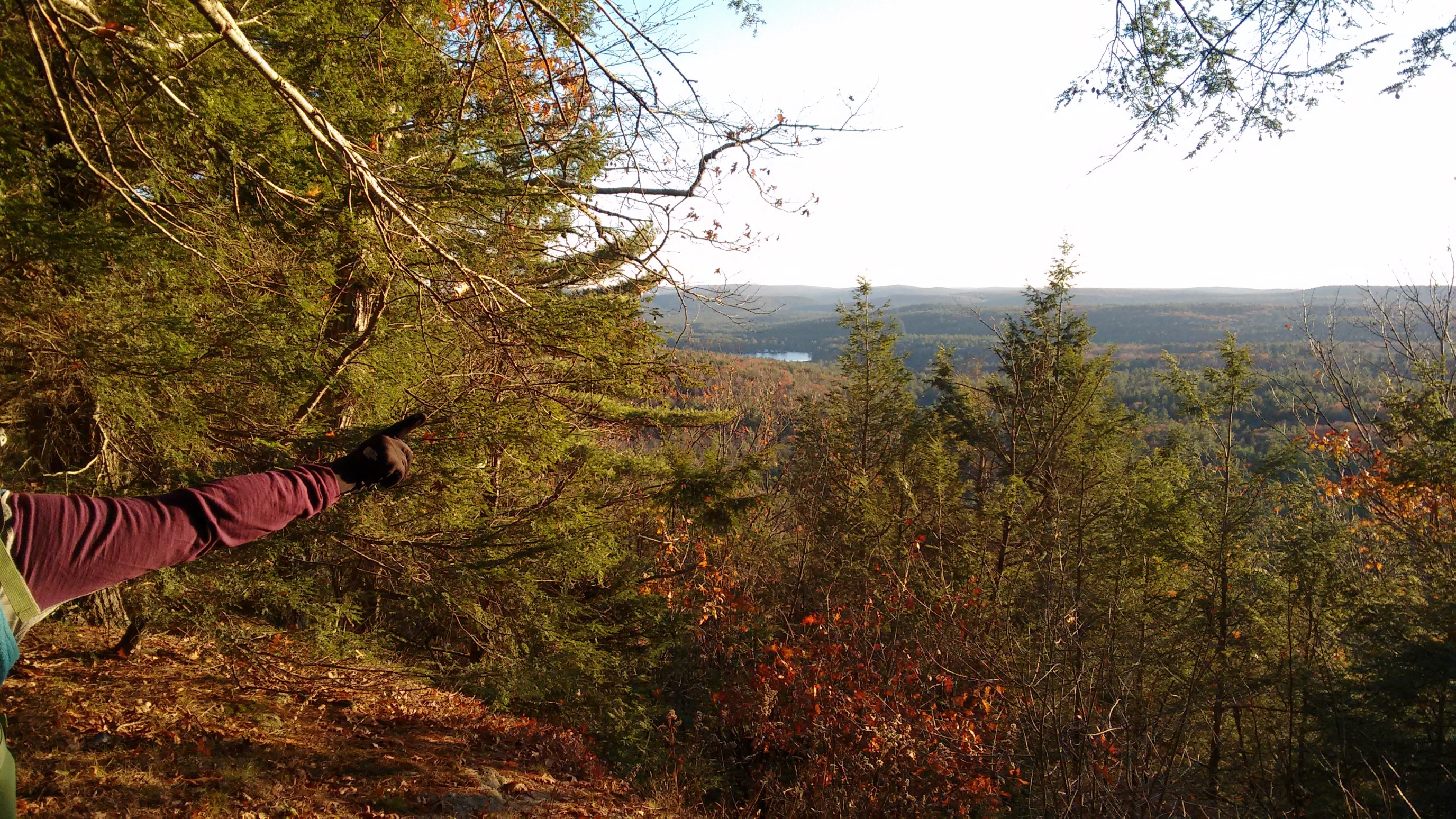
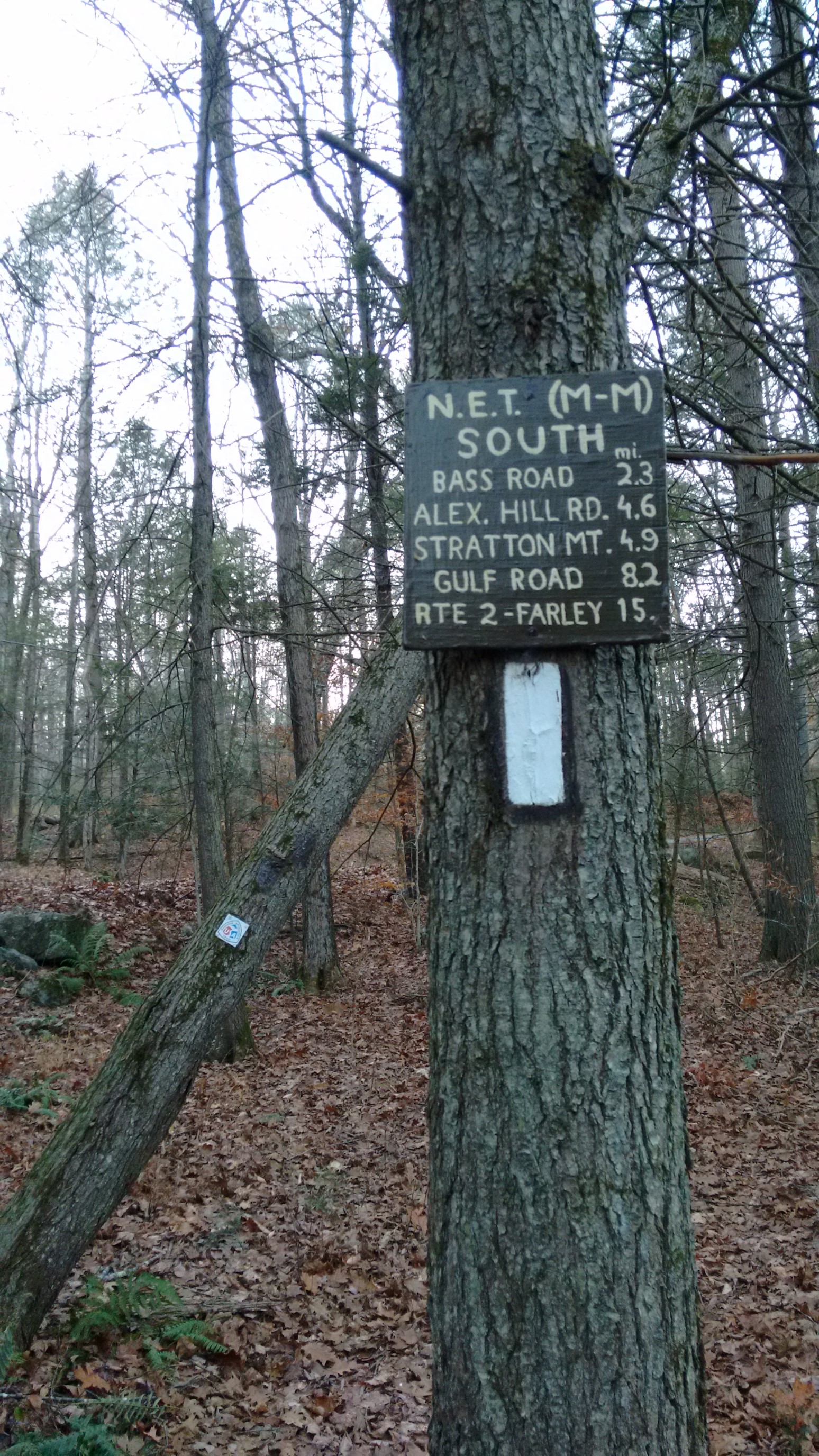
The sign at this road crossing was a gentle reminder that we still had about 5 miles to go before dark, and it was 2pm. I wish New England would adopt the proper time zone, so the sun didn’t set at 4:15pm in winter.
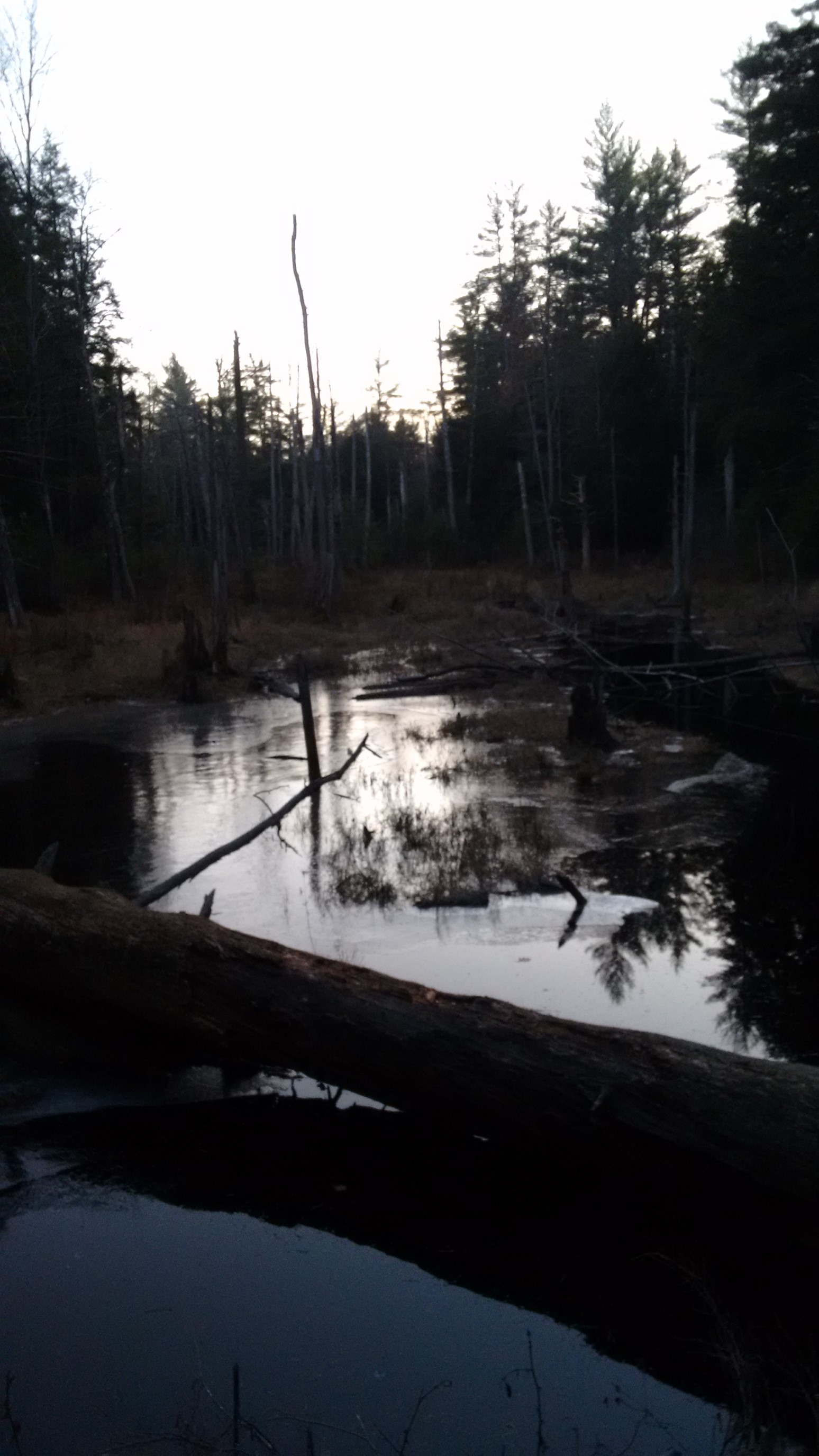
The marshes were eerily quiet, and a thin skin of ice had formed around the edges. Winter is coming!
There were shenanigans on this bridge, beer was involved, and a fuzzy photo resulted, ha!
We arrived to the Richardson-Zlogar (RZ) Cabin at 4:30pm and began setting up our tents on the provided tent platforms. The group of guys who had reserved the cabin were very nice, and invited us to stay in the warm cabin. Yay! We had dinner and a campfire with them.
Eventually we all migrated indoors, and drifted to sleep from the tiredness of a long hike in cold weather, campfires, and warm drinks.
Day 12: (Sunday November 12th) 18.4mi/29.6km
Richardson-Zlogar Cabin (190.5) to Lake Wyola (172.1)
We packed up inside the nice warm-ish cabin, and made out way outside into the cold. My zipper thermometer said 25F/-4C, so we started walking right away.
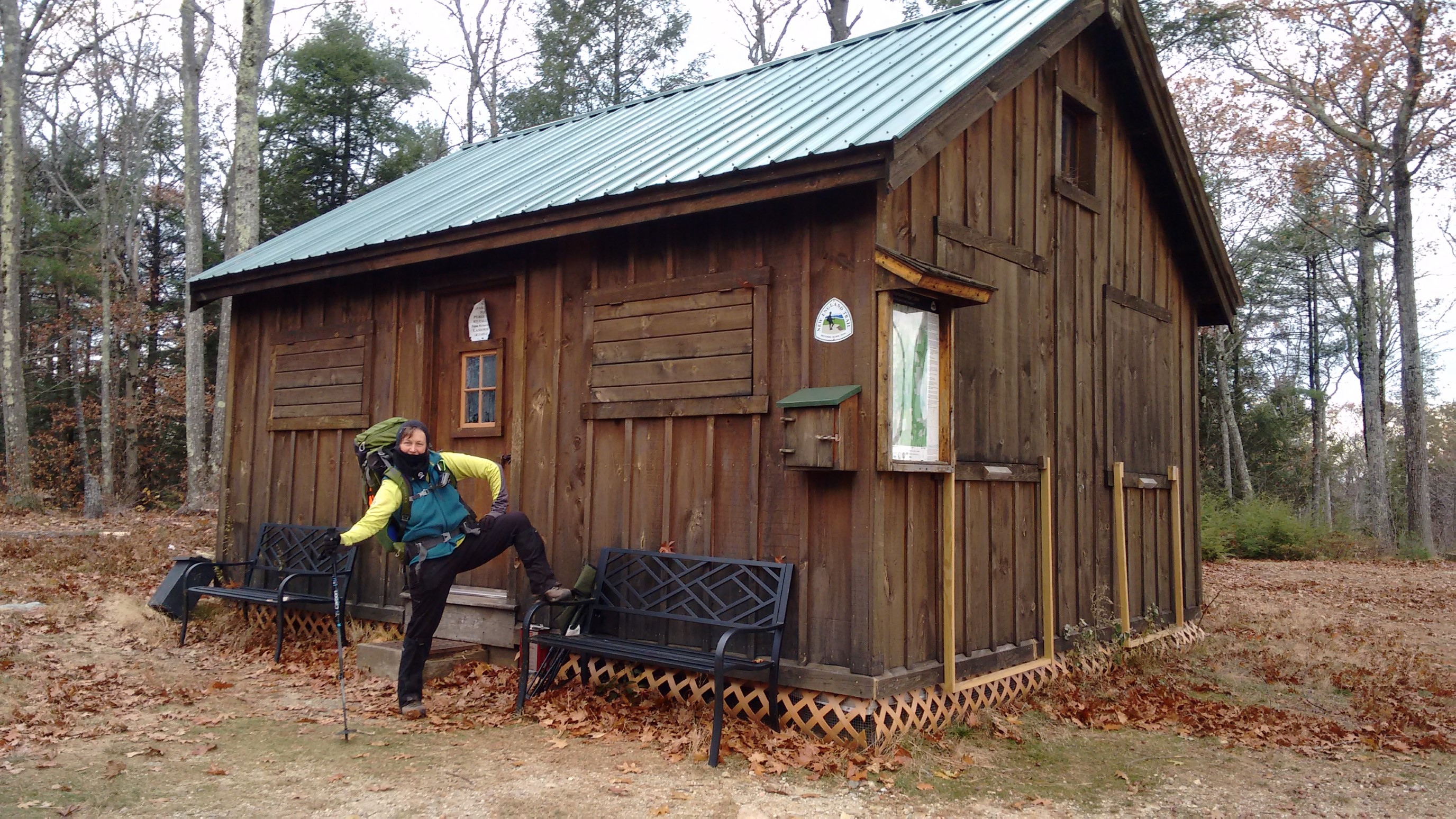
We had arrived to the cabin in the dark yesterday, so I was surprised to see this amazing view right outside the front door!
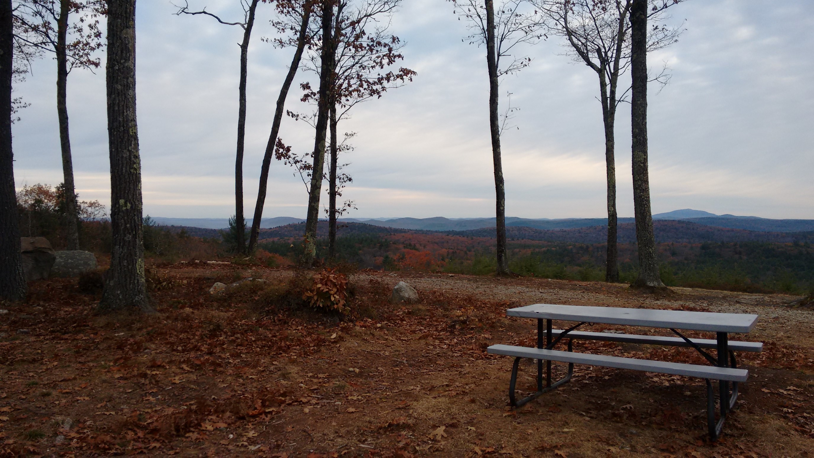
It was much cloudier today, and more wind too. Brrr.
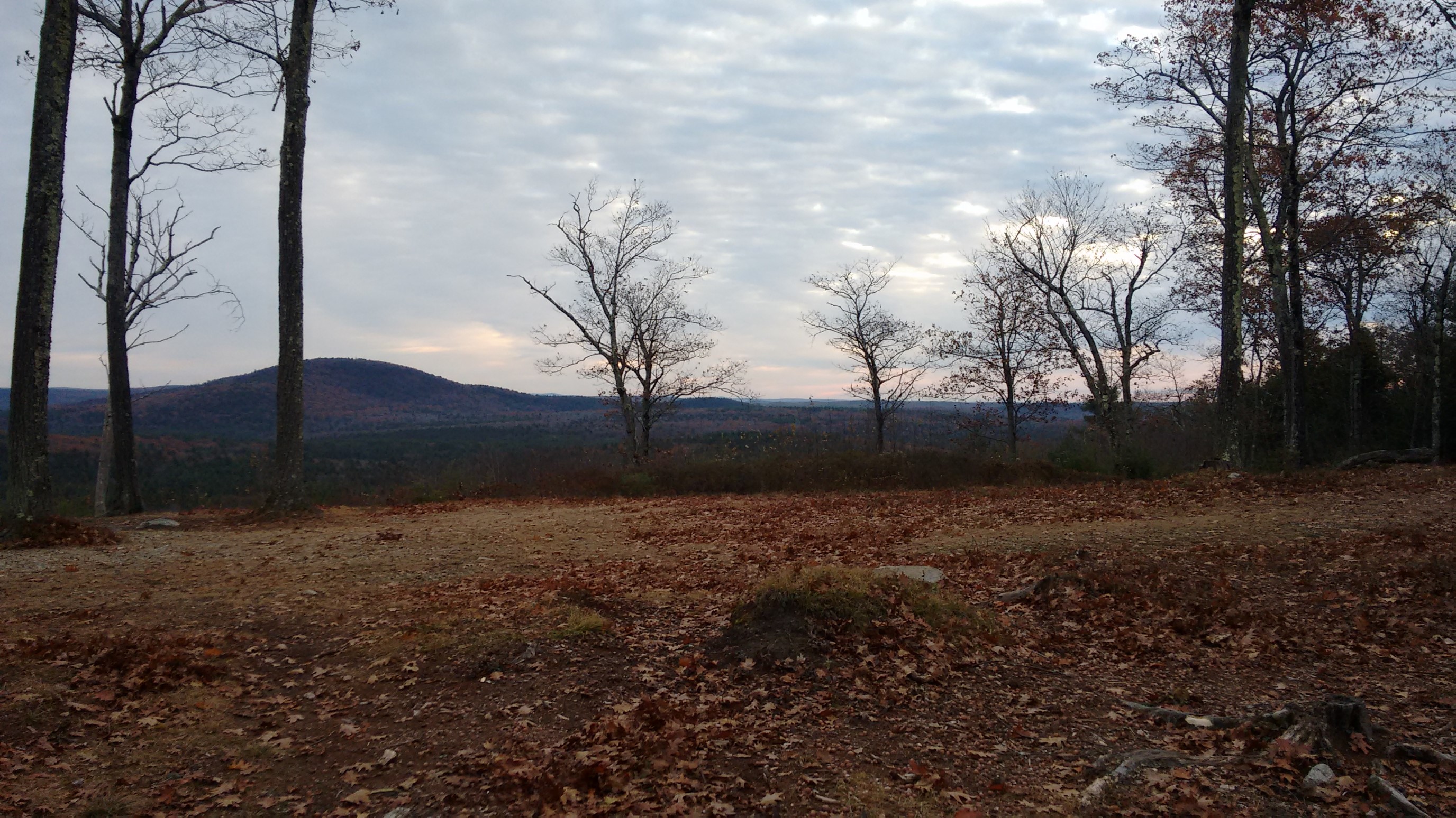
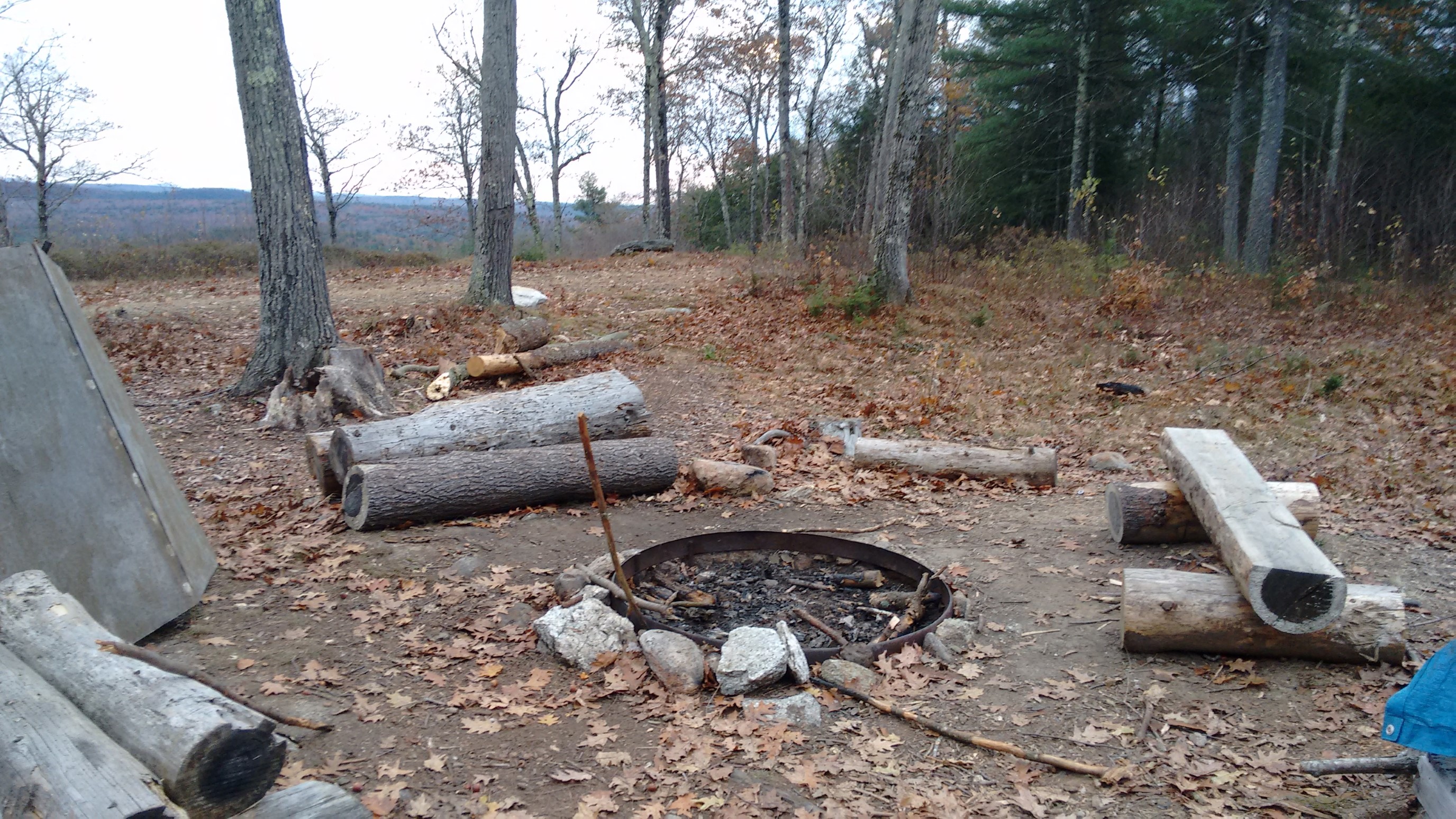
We hiked for 15 minutes, and then found ourselves right back at the cabin and the firepit. Oops. The web of social trails on this mountain was very confusing. Finally, we found the correct path and resumed hiking south on the NET.
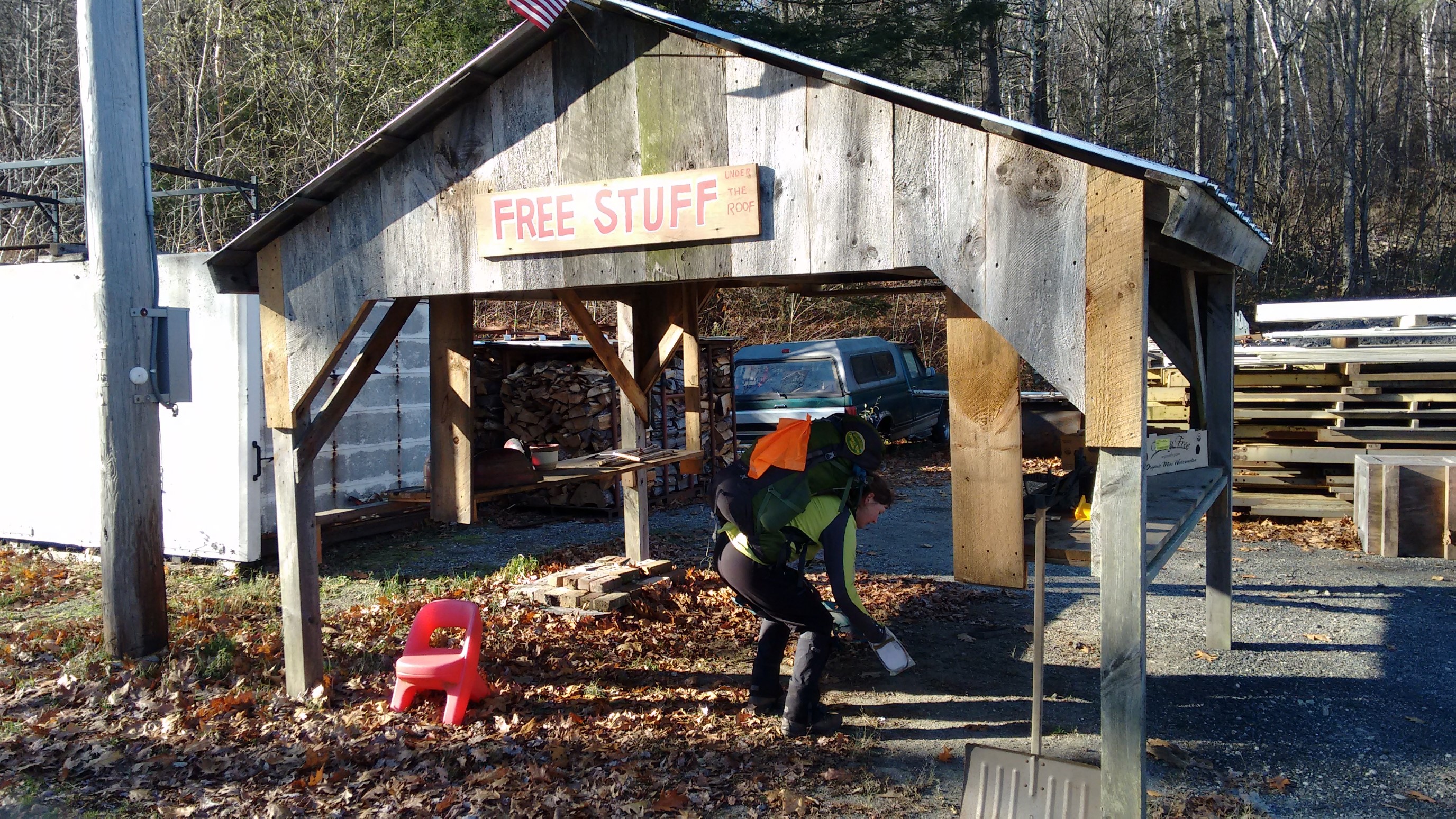
After a couple miles, there was a short roadwalk. Of course, hikers can’t simply walk by a “free stuff” shed, so we had to investigate. The bricks were tempting, haha!
We strolled along for 30 minutes of paved roadwalking, enjoying the farm fields and open space, while the sun warmed my cold hands and feet.
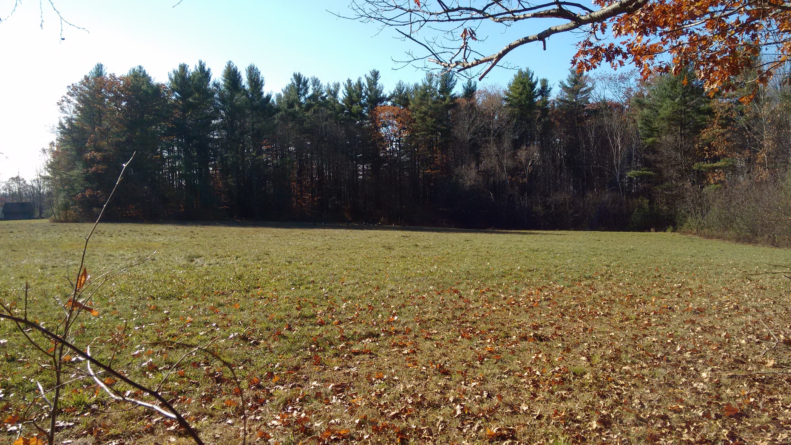
To the left, to the left…
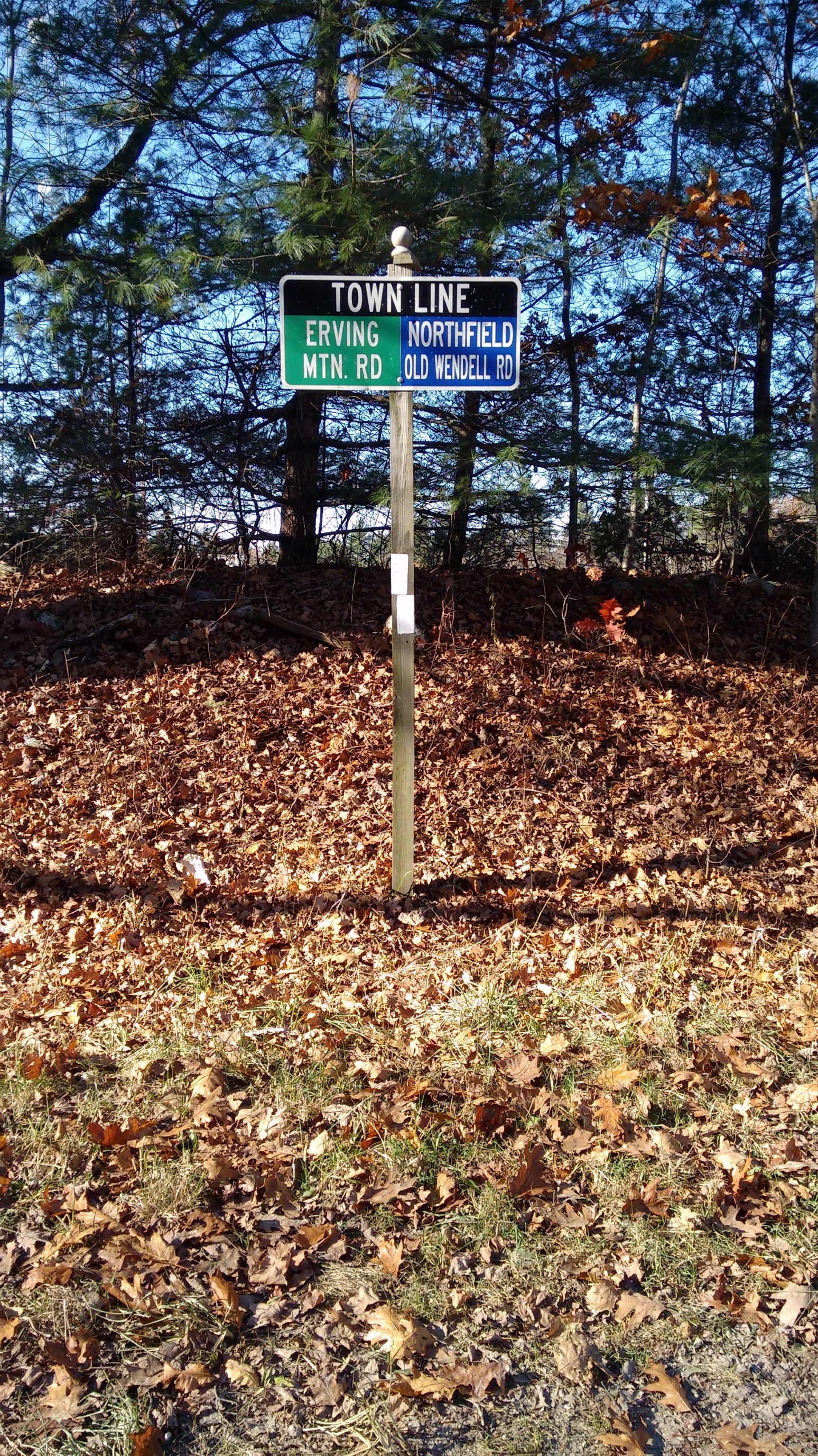
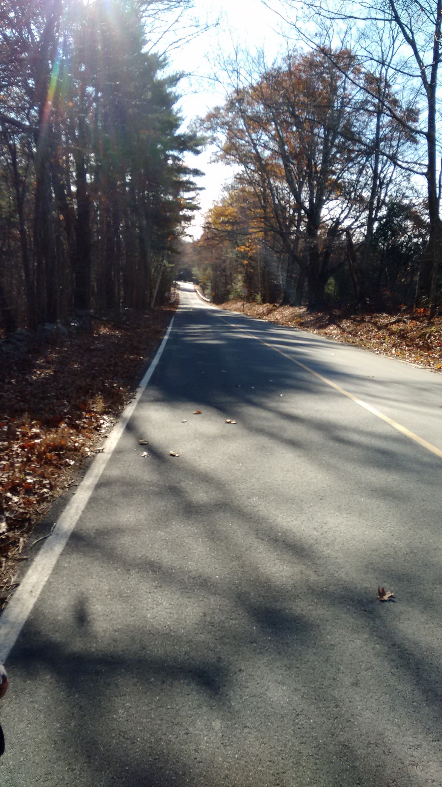
After another short 10 minute of roadwalk, we entered the Erving State Forest.
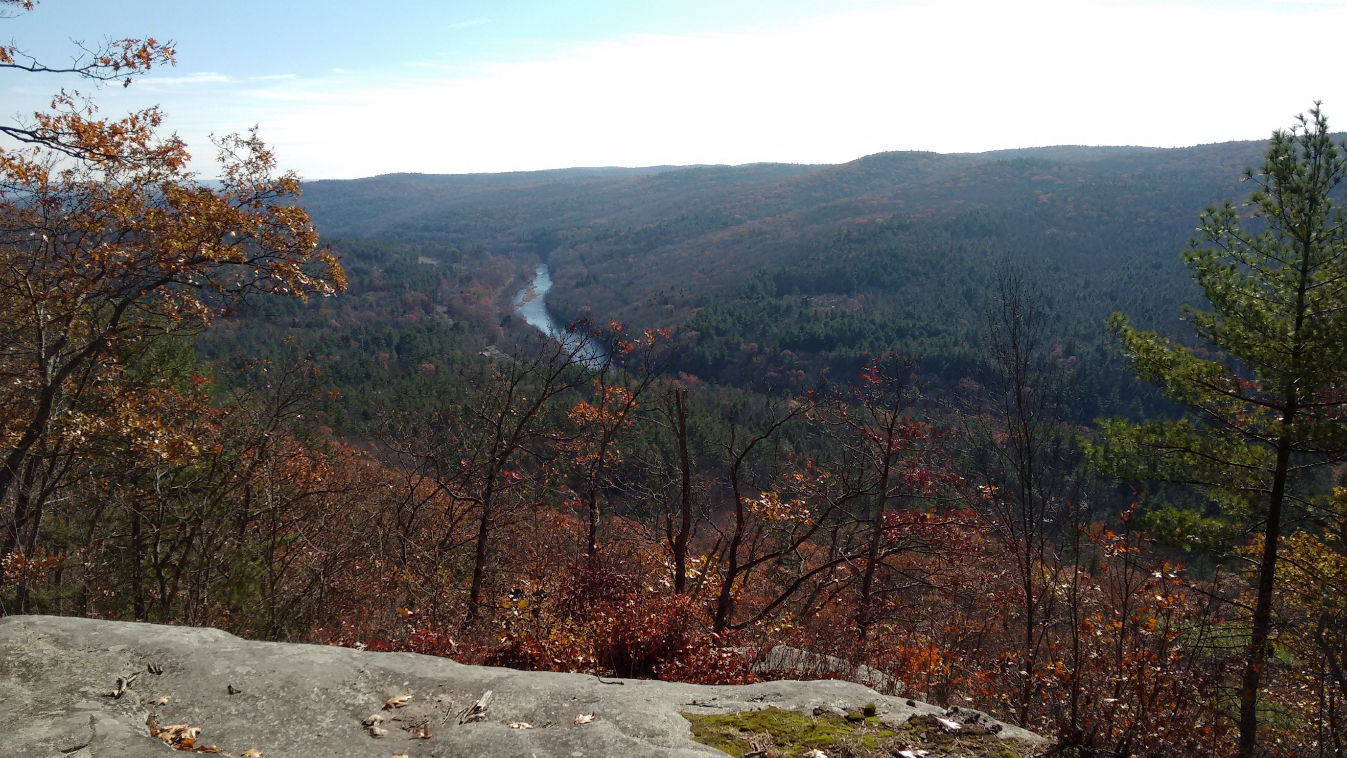
The trail skirted a cliff system for awhile, and we had amazing views down to the Miller River, far below.
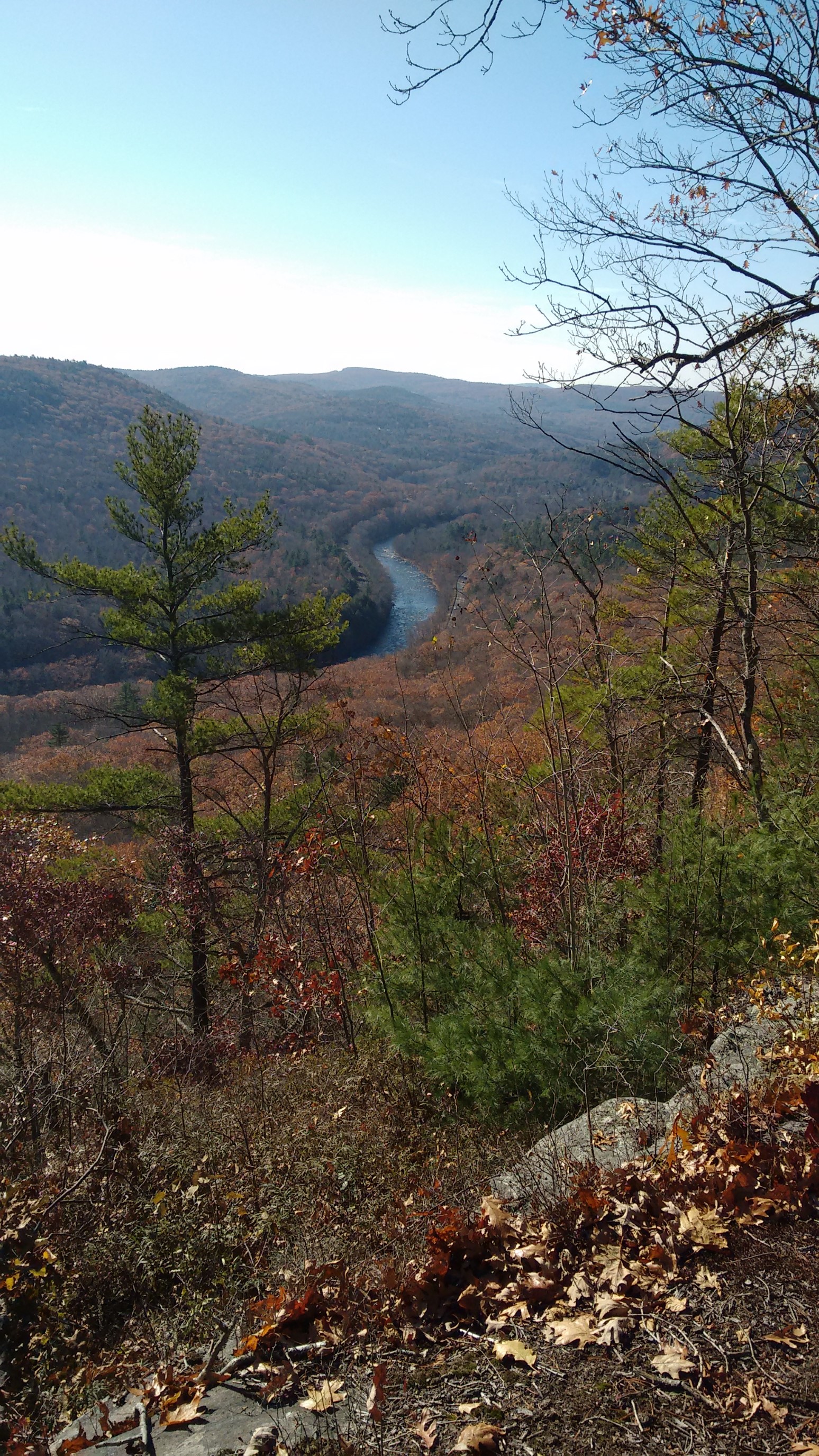
The Miller river flows west into the Connecticut River, and we would soon have to descend all the way down there to cross it.
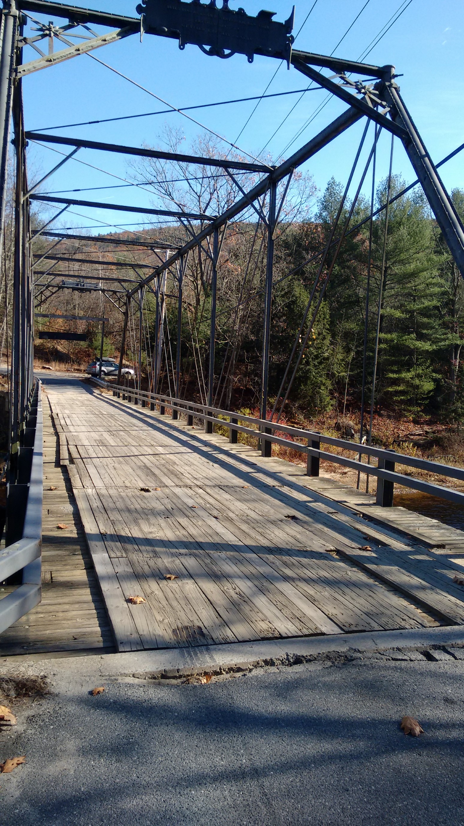
After a 600ft descent, we crossed the Miller River on a tiny one-lane wooden bridge. It was a very remote area, so there were few options for crossing the river.
We stopped for a late lunch in the warmest spot I could think of, in a sunny area near train tracks. Much to our surprise, it was an active rail line.
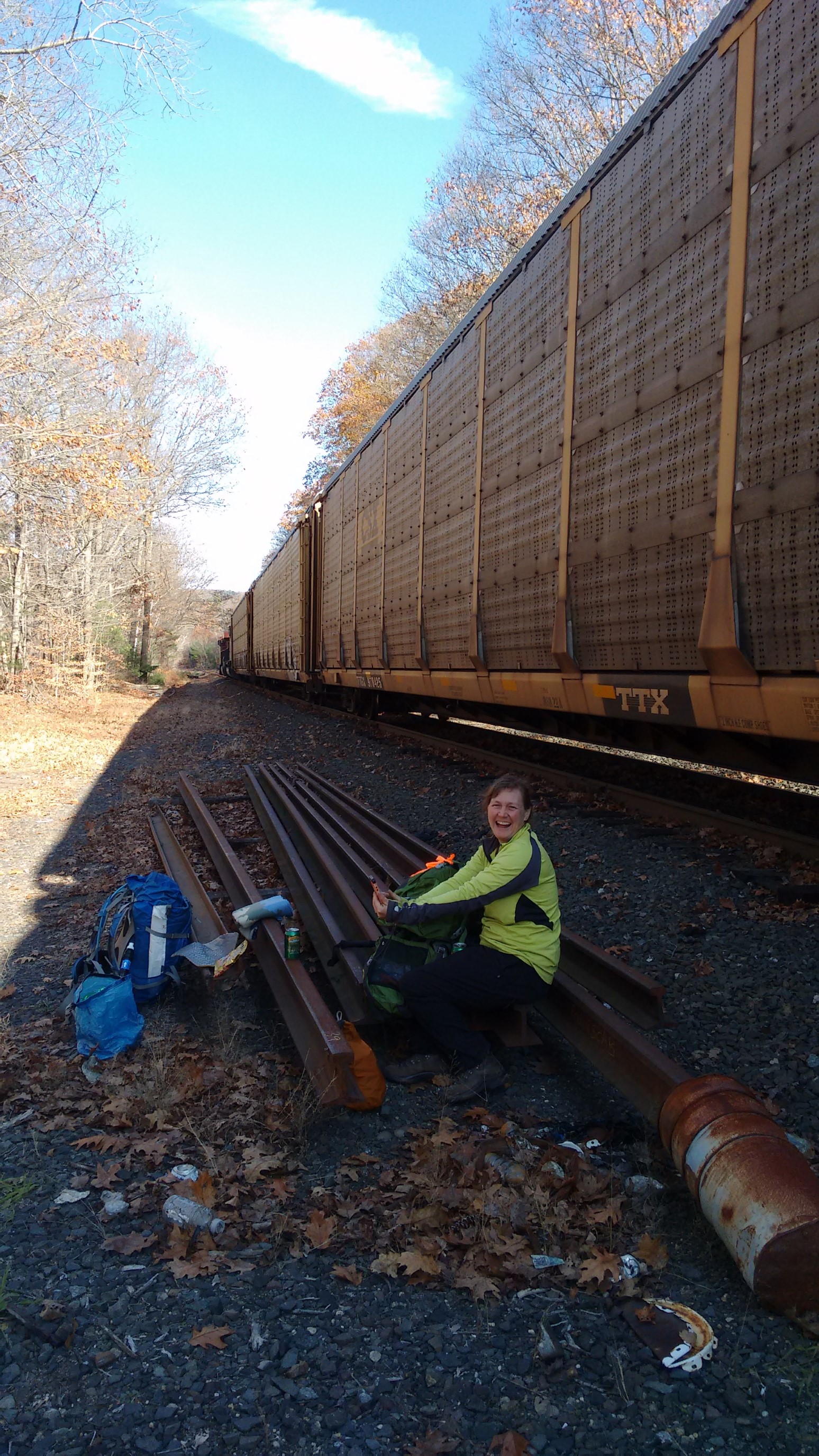
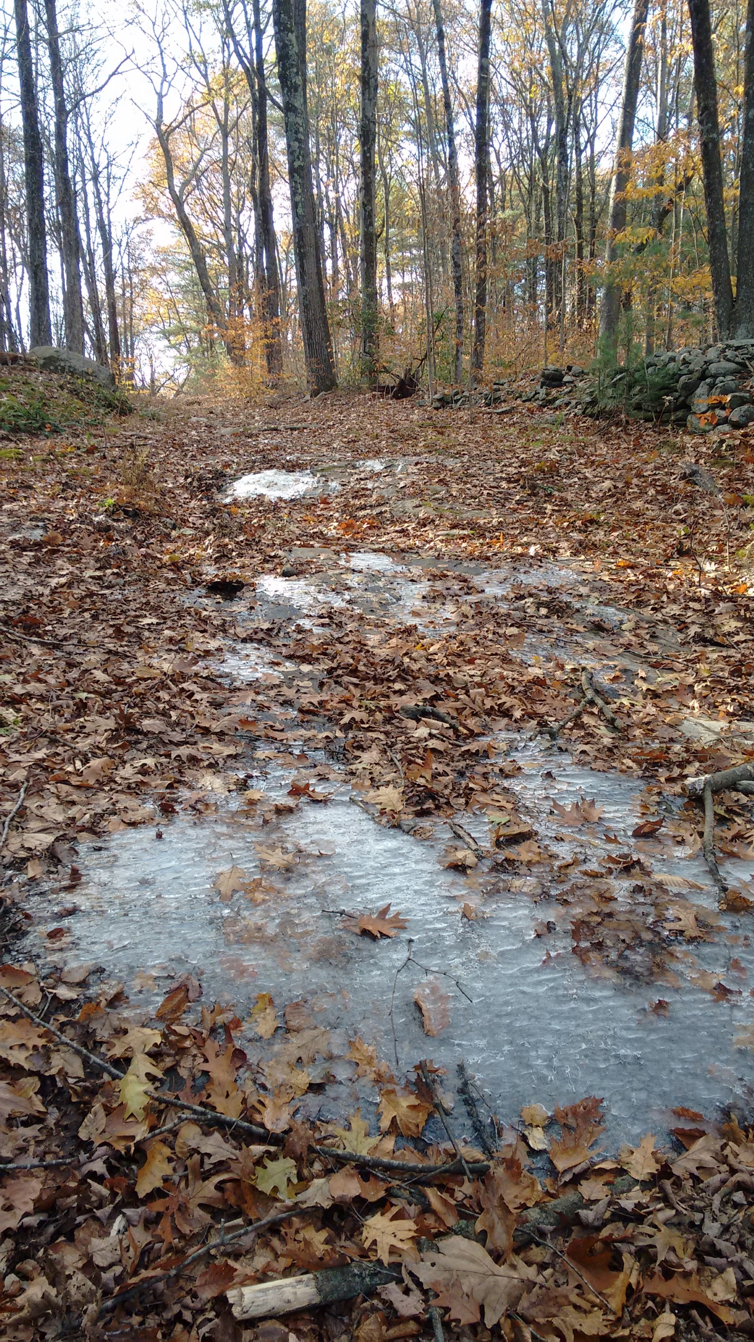
We had a nice lunch, talking about all our different hikes, and plans for other adventures. Soon after we started hiking again, I was warmed up from the re-climb of the 600ft out of the valley. I was surprised to see so much ice on the trail, and I almost slipped on a flat trail.
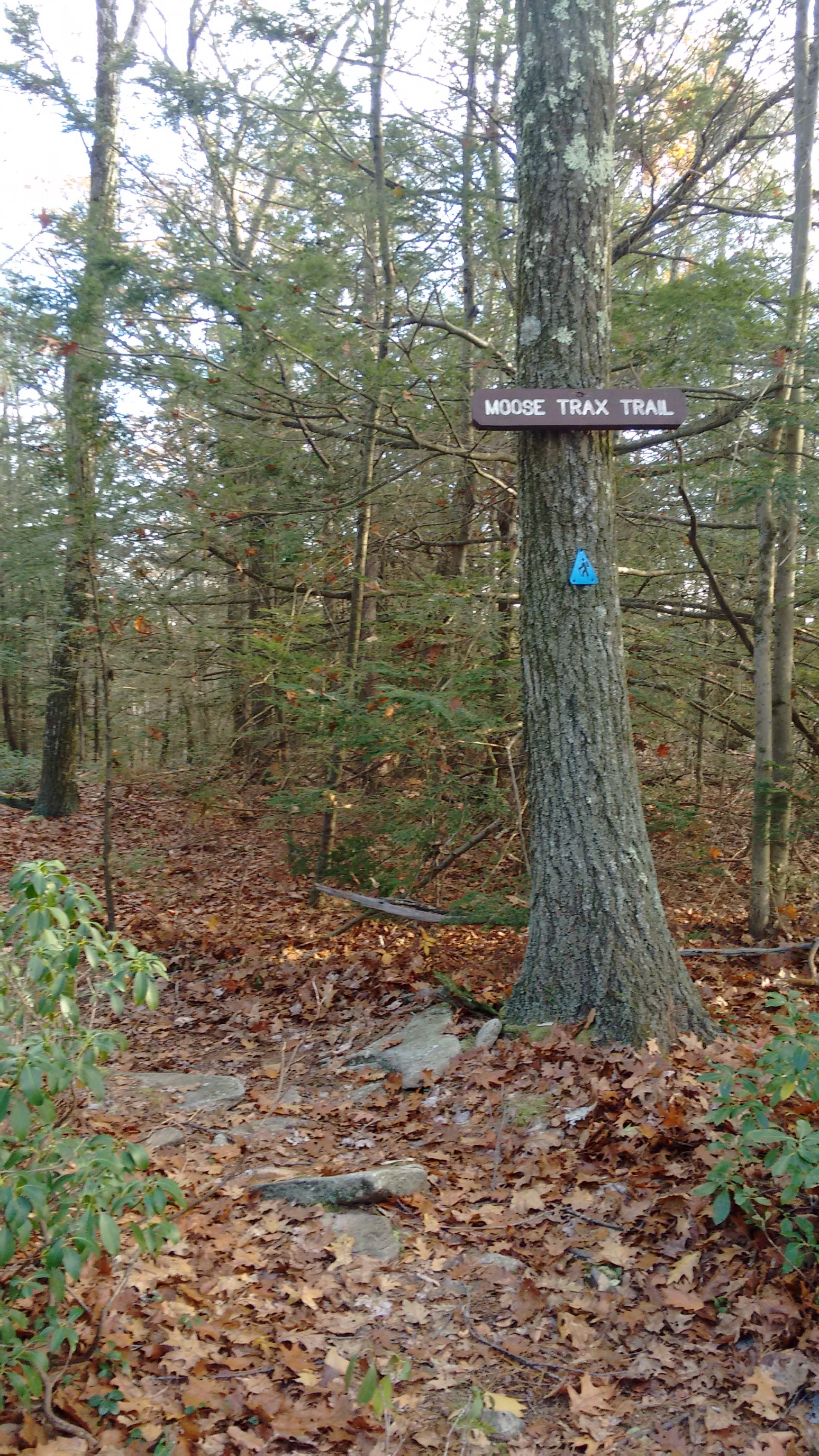
For the rest of the afternoon we traveled along a low ridge in the trees. There were many side trails in the Wendell State Forest, but none sounded as delicious as the Moose Trax trail. Mmm….ice cream.
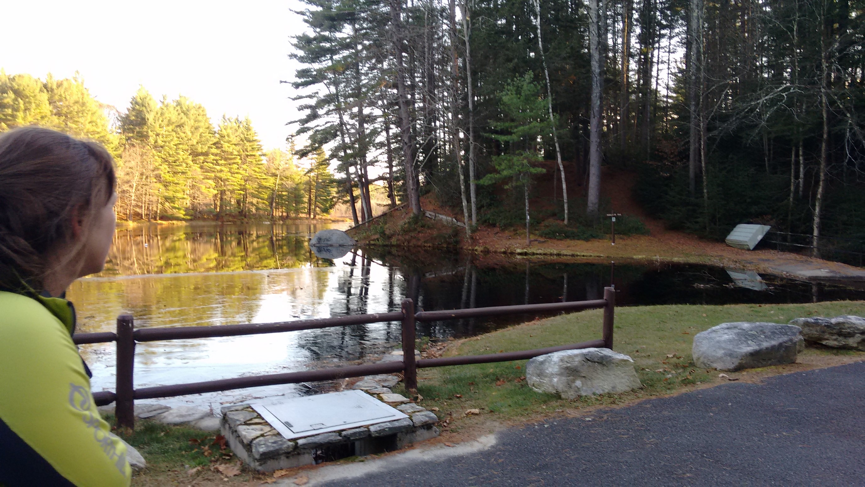
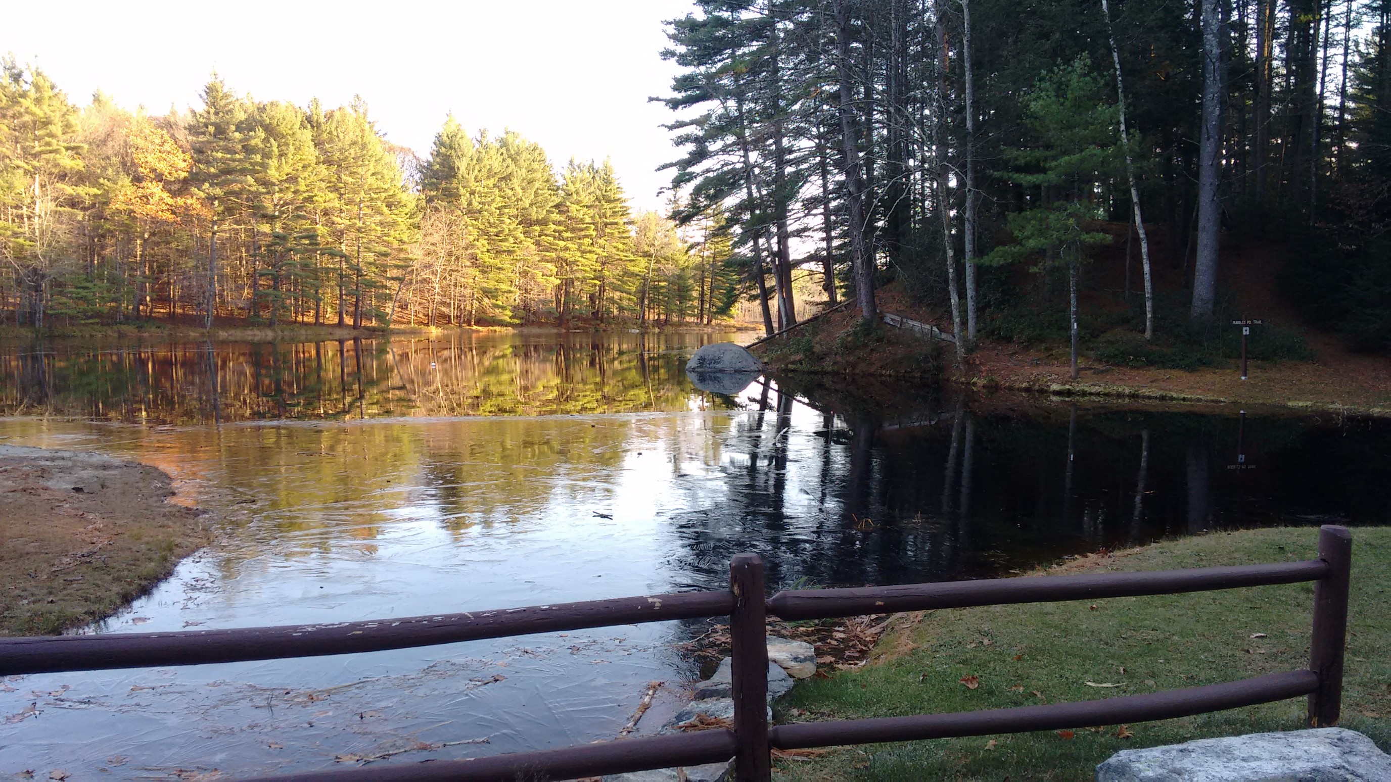
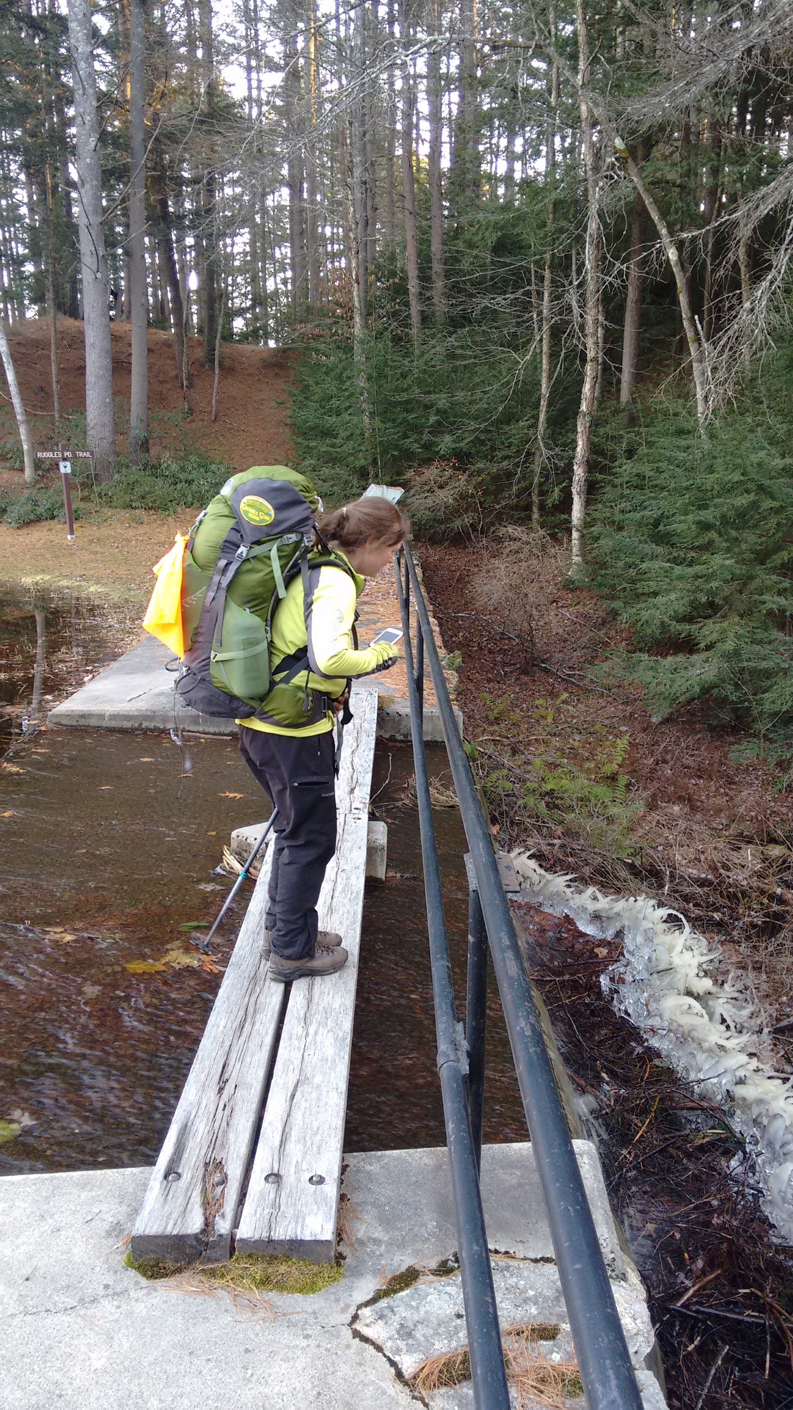
We took another break at Ruggles Pond, it was a neat area formed by a low dam that the trail passed over.
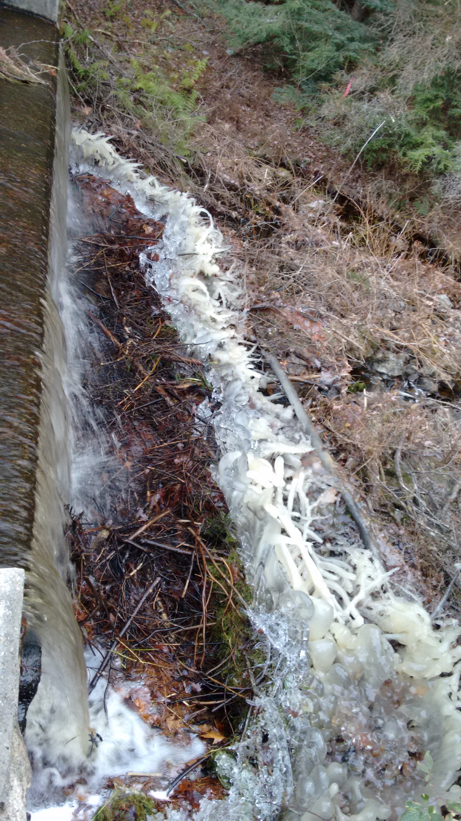
On the outlet side of the dam, these huge “frost feathers” had formed, they were quite impressive to look at.
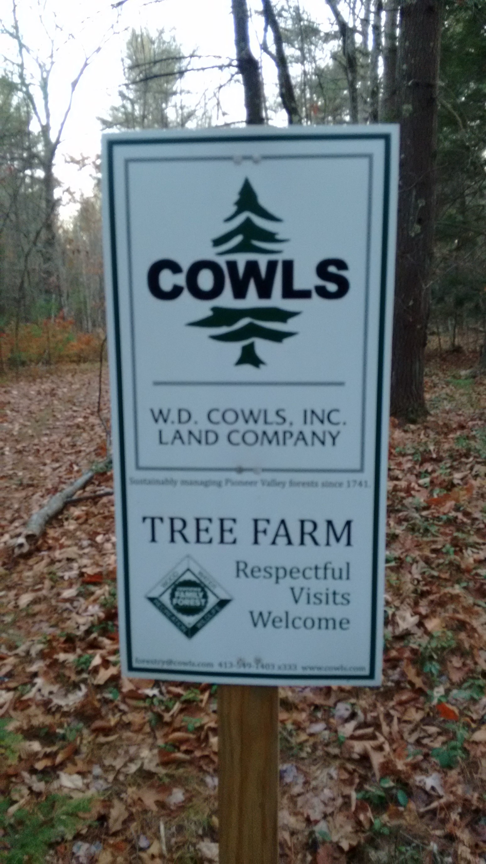
The final hour of the day was in a forest on private land. It was nice, but the signs were weird. “Respectful visits welcome” and “Managing forests since 1741” were posted frequently. I’m pretty sure forests know how to manage themselves…
We arrived to our finishing trailhead at Lake Wyola at 4:15pm, just a few minutes before sunset. This was the same spot I had finished my previous section, which means I had completed the NET! We celebrated with snacks and drinks at the car, and then drove the 45 minutes north to retrieve the other car. It was great to have a hiking partner, especially for the final section of an otherwise solitary trail. I’ll see Michele again in January, where we both teach cold-weather hiking and camping skills at Winter Mountaineering School.
I’ll have a short summary of this trail posted in the future, for anyone following along who might want to plan their own hike.
-Recon