Day 64: Monday January 7th, 10.7mi/17.2km
Ship Cove (1688.8/15m) to Madsen’s Camp (1706.0/39m)
I got up at 4:30am, and was packed and in an Uber by 5am. We pick up Kuba and Kacka along the way, and the 3 of us arrive at the ferry terminal at 5:15am. They let us board the ferry at 5:30, and we relax in some nice sofa chairs for an hour, before we venture downstairs to get breakfast. After finishing our bacon and eggs, we go outside to get some fresh air and see the views.
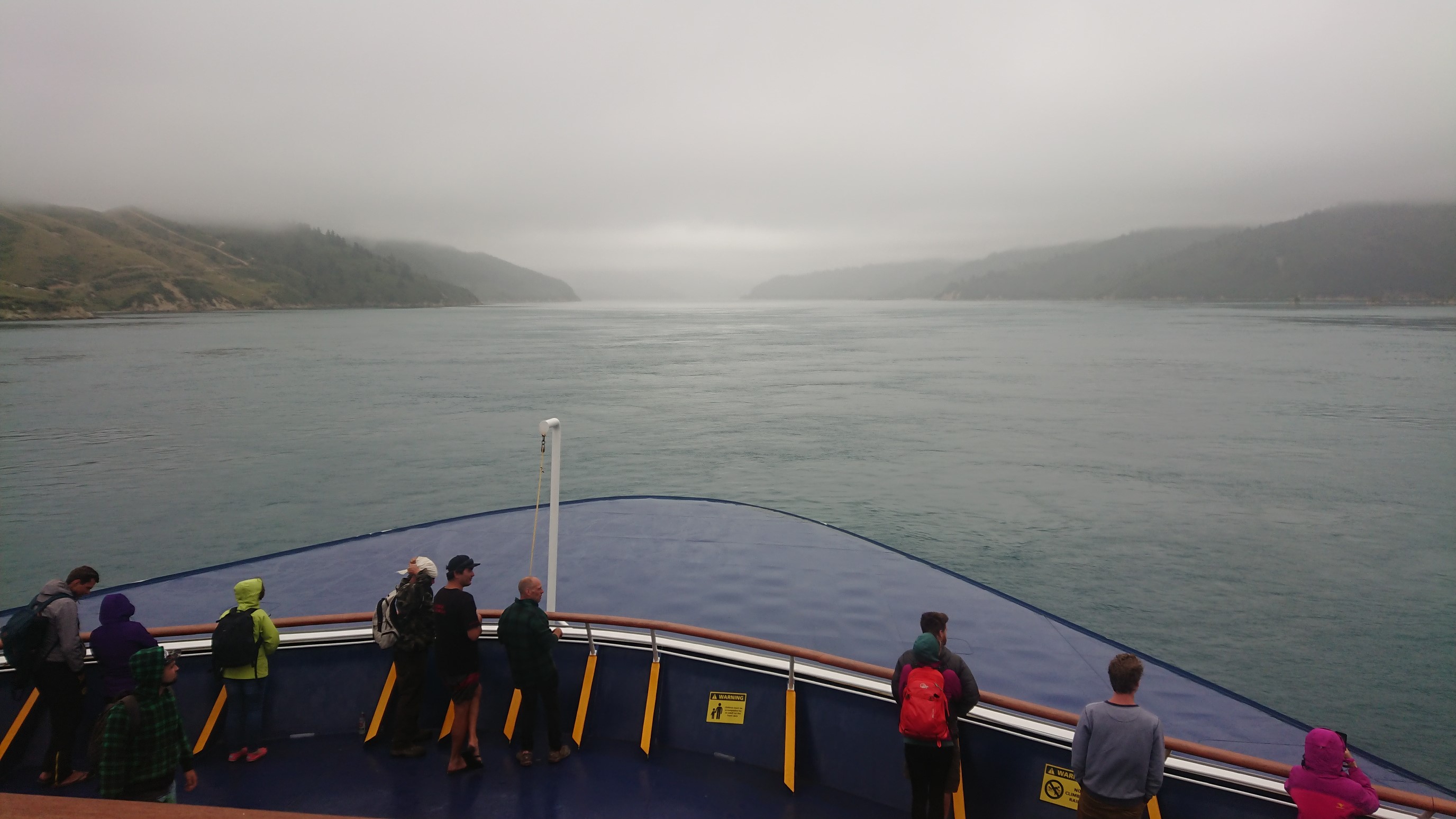
It’s cold and drizzly, and we have a hot drink, and finish the trip inside the warmth of the ferry.
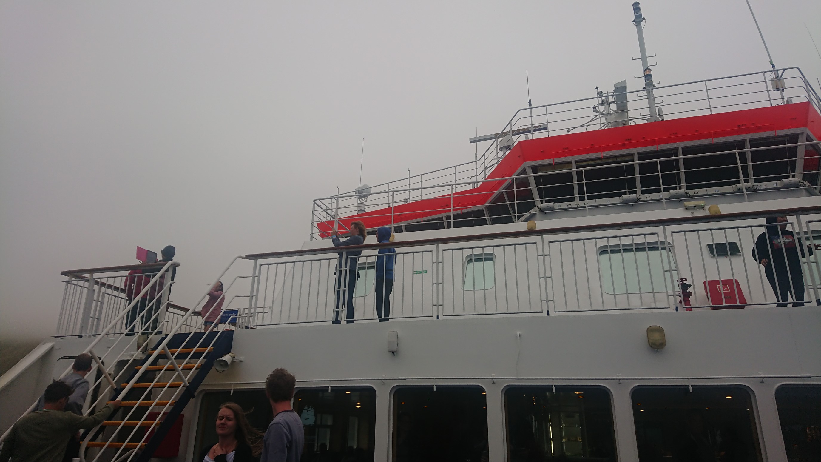
The ferry arrives to Picton, where we buy our water taxi tickets.
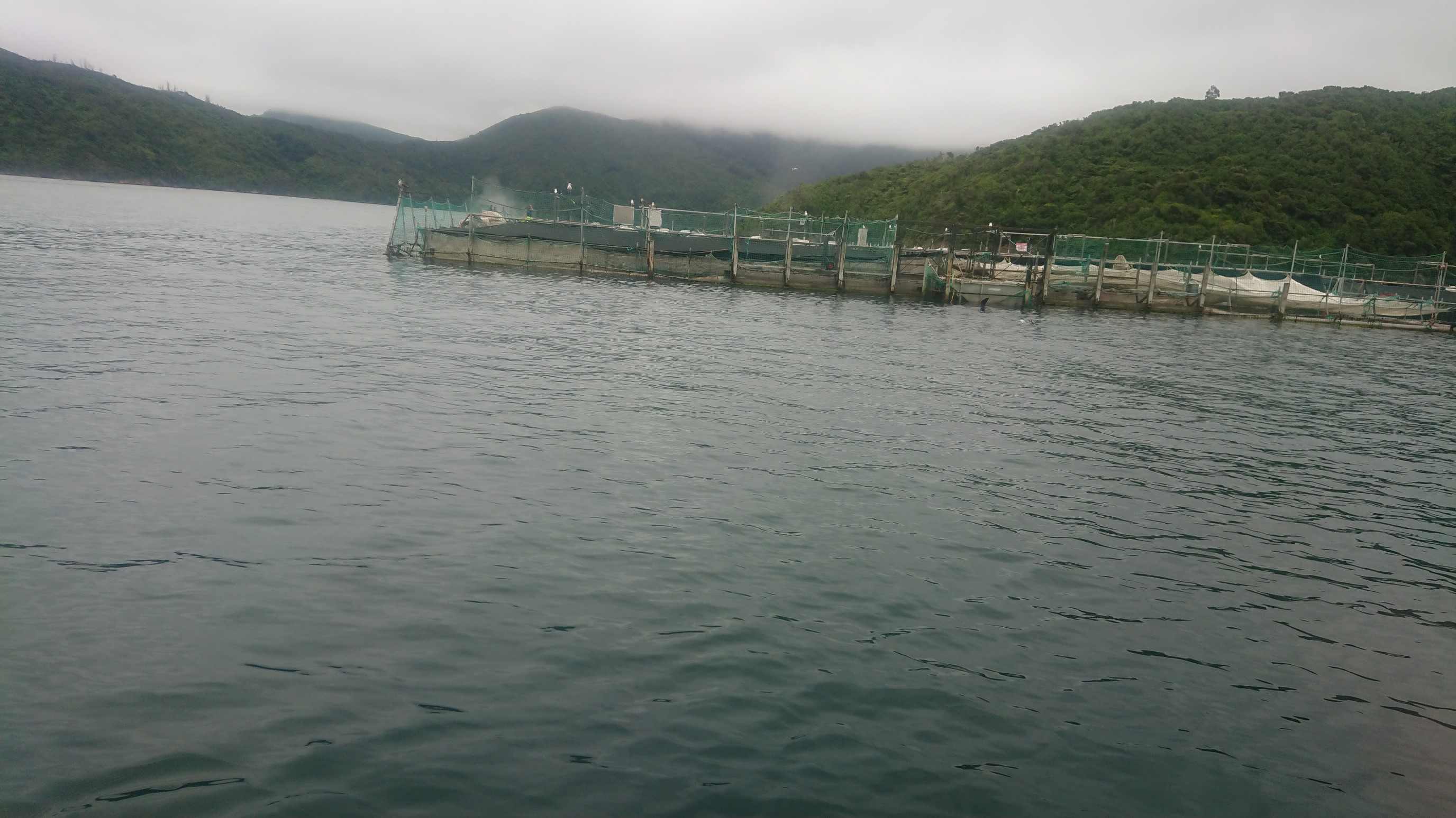
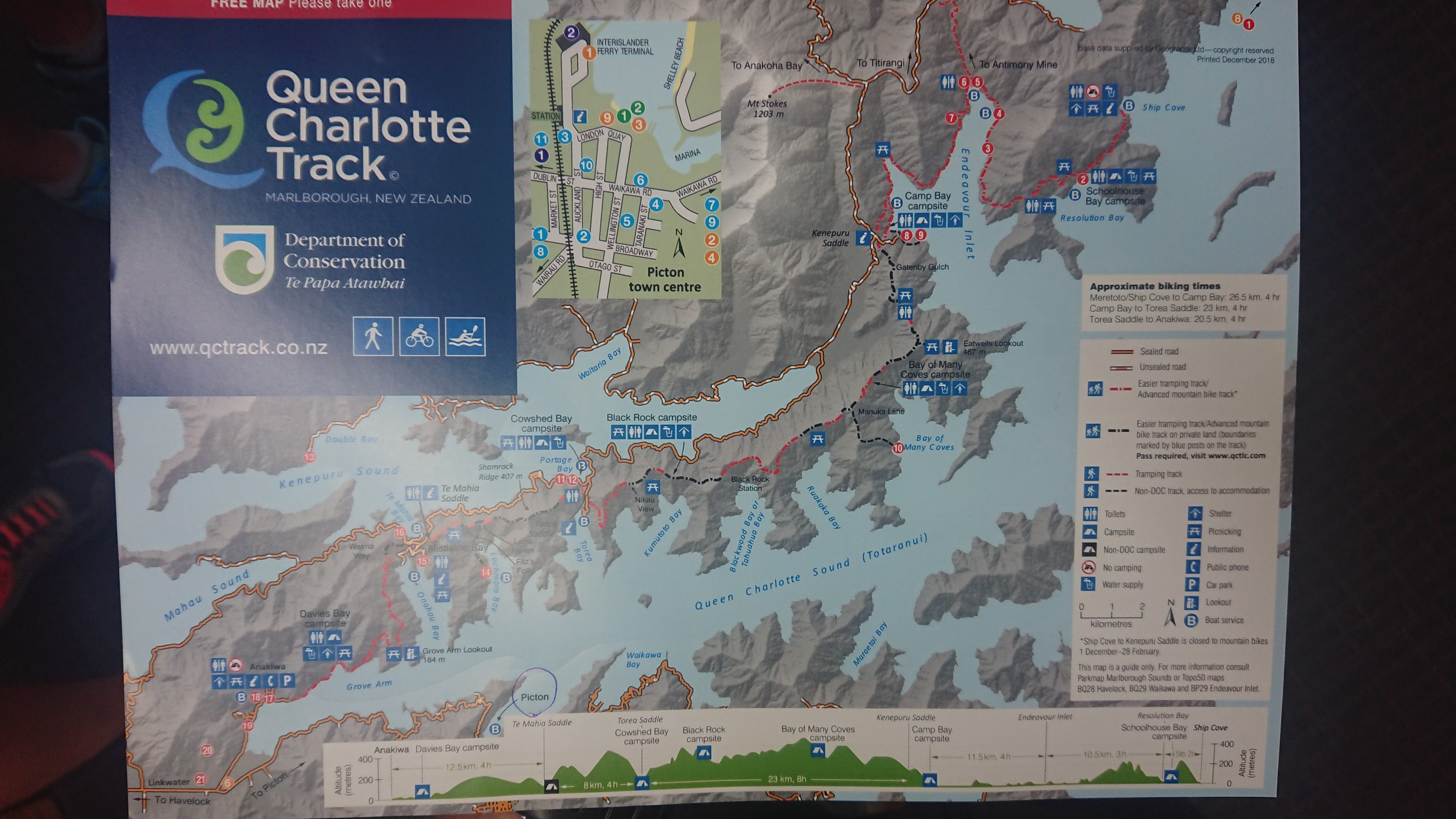
The 3 of us have been planning to hike the Abel Tasman Track (one of NZ’s 8 “great walks”), so we go to the iSite and get the needed reservations. Afterwards, we stop by the grocery to buy cheese, and then have lunch nearby. We head down to the dock to meet the water taxi, and take some seats inside where it’s warm. I nap a little, and then study the map for the upcoming section. The Queen Charlotte Track is the only section of the TA that has a fee, which supports the excellent trail maintenance for this part.
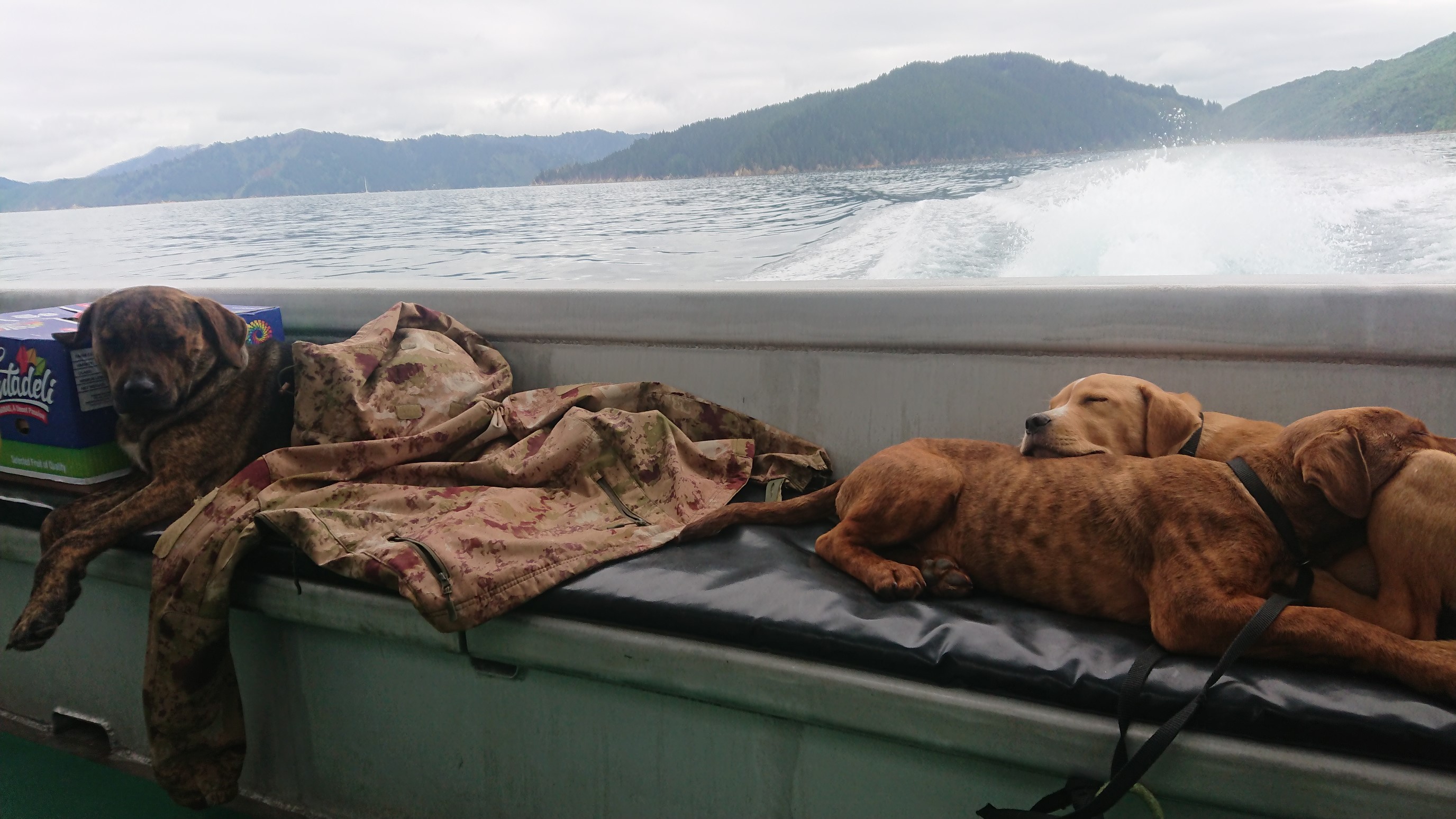
I venture outside to the back deck, and see an adorable pile of dogs taking a nap.
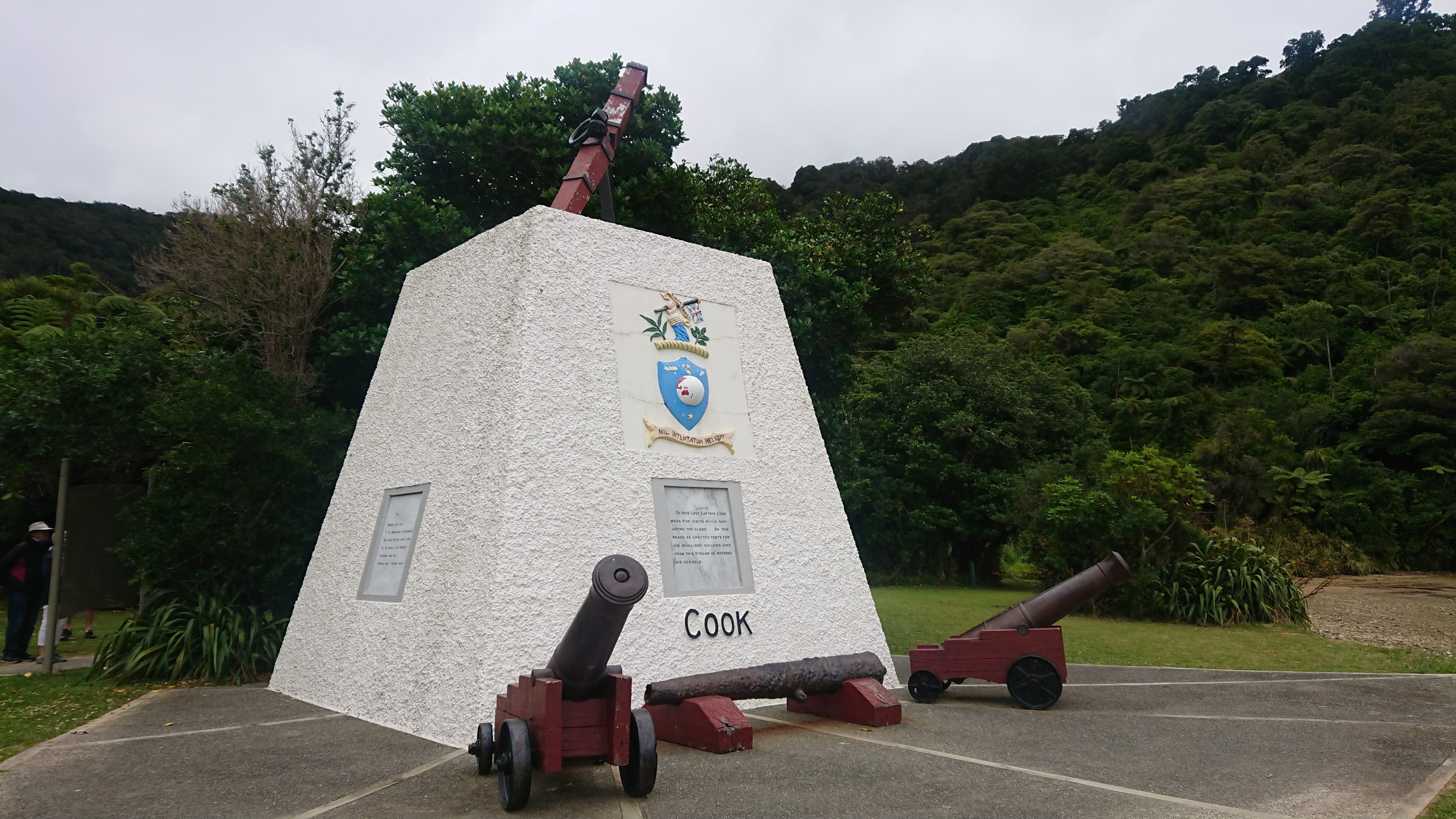
We arrive to Ship Cove just before 4pm, and take some photos. This is the start of South Island!
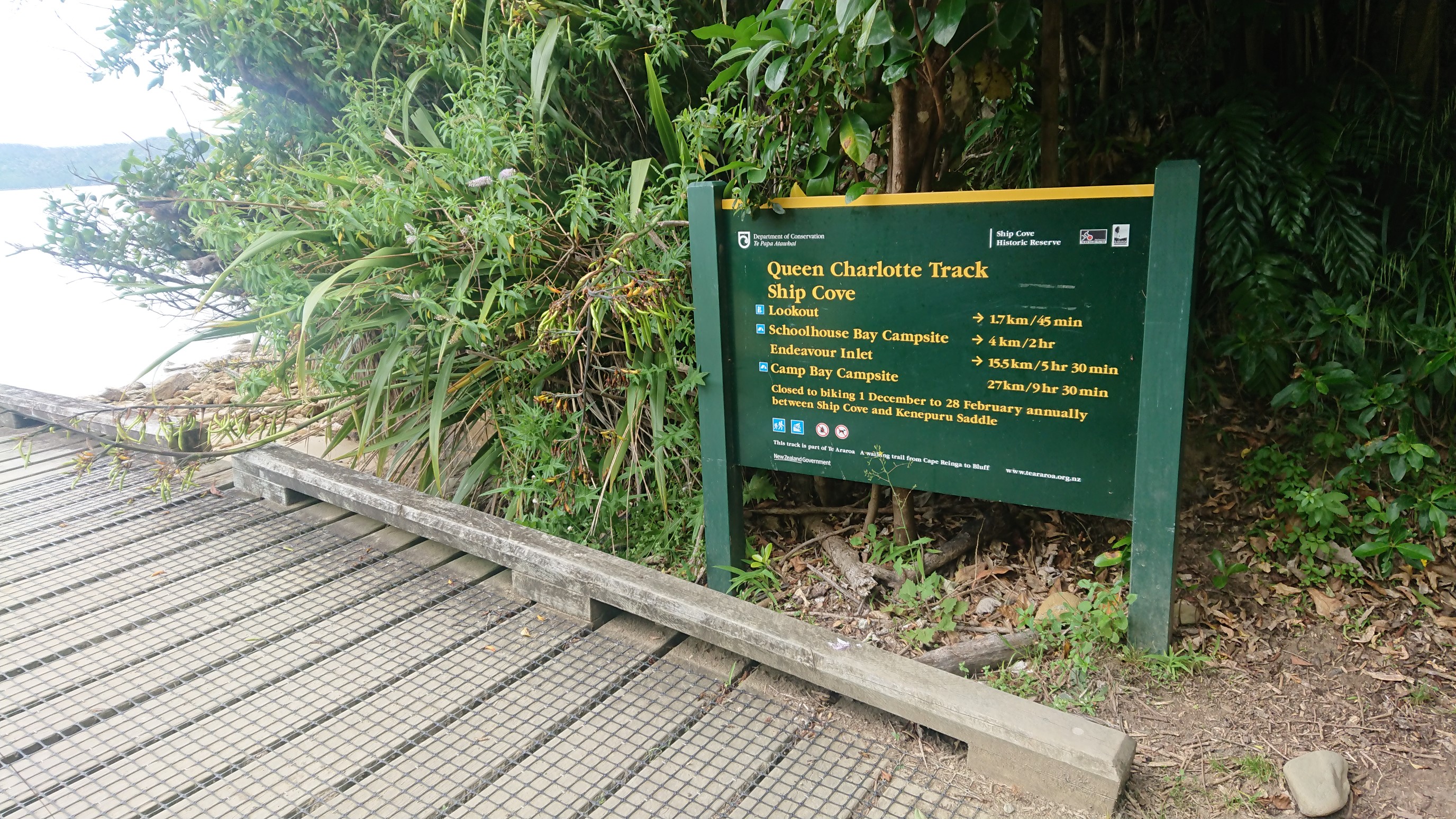
It’s an easy and uneventful walk, with views of Resolution Bay and Endeavour Inlet along the way.
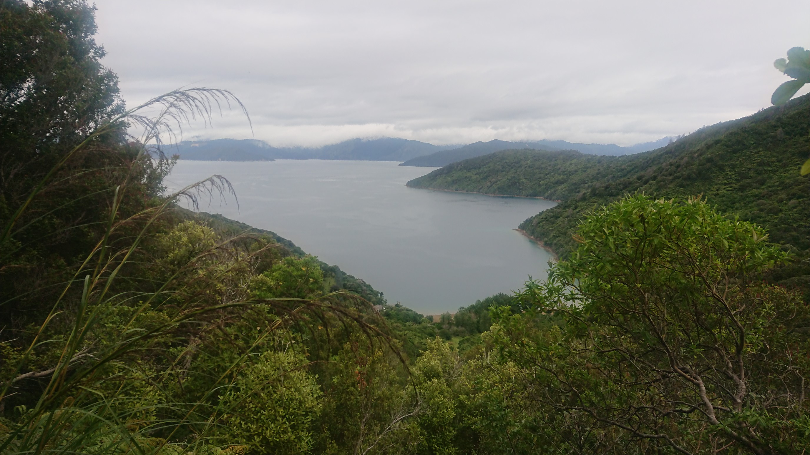
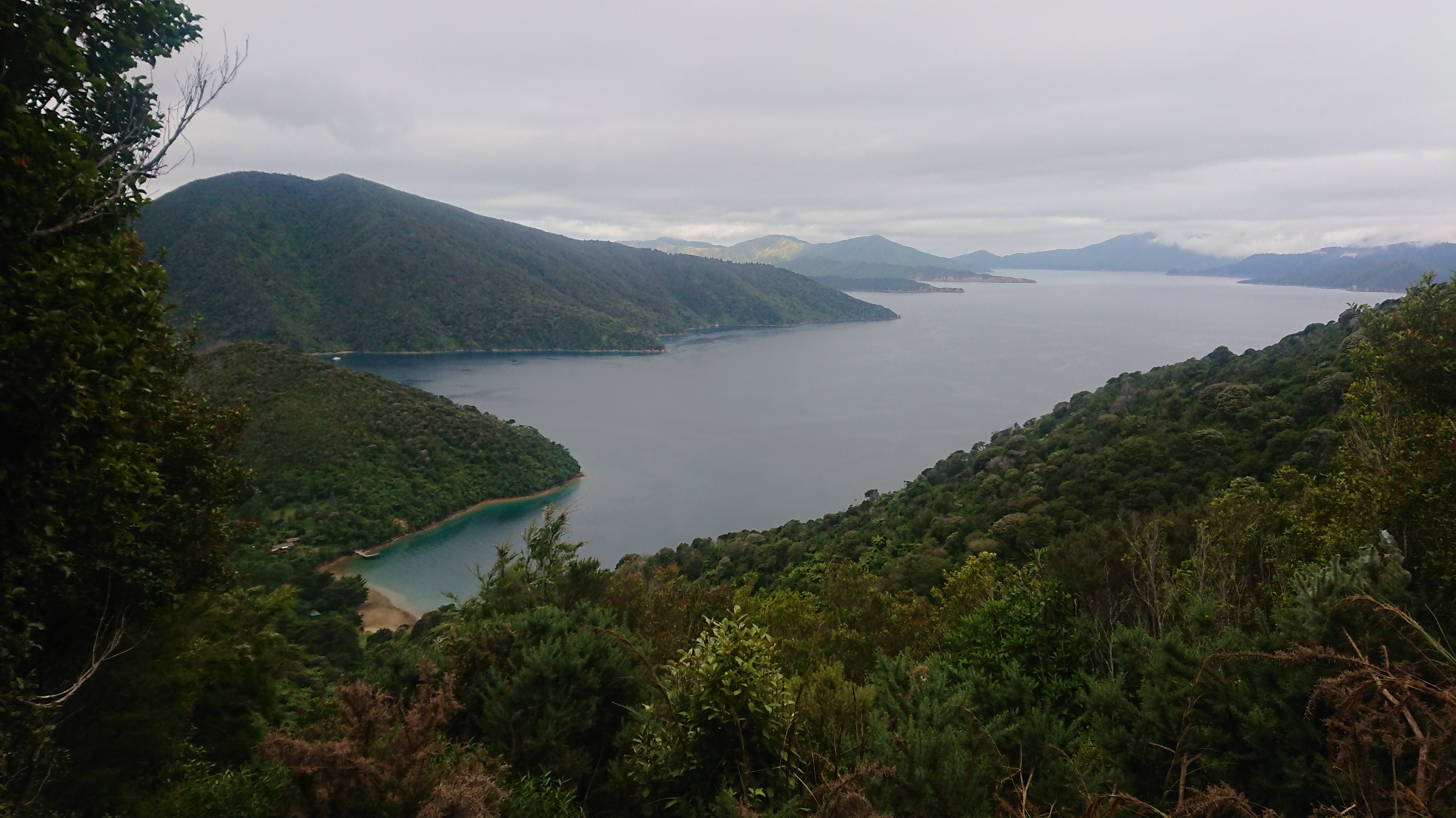
After 17km of walking, we arrive to Madsen’s Camp at 7:30pm. Most of the camping on the Queen Charlotte Track is at developed sites which charge a fee. This site is privately owned, and we talk to a nice guy named Tony for a bit, before settling in and having a late 8pm dinner. By 9pm, the three of us are in bed!
Day 65: Tuesday January 8th, 26.7mi/43.0km
Madsen’s Camp (1706.0/39m) to Viewpoint above Houhou Point (1749.0/189m)
I’m awake at 6:30am, get packed up, and join the other campers at the breakfast table. The view over the inlet is a nice backdrop.
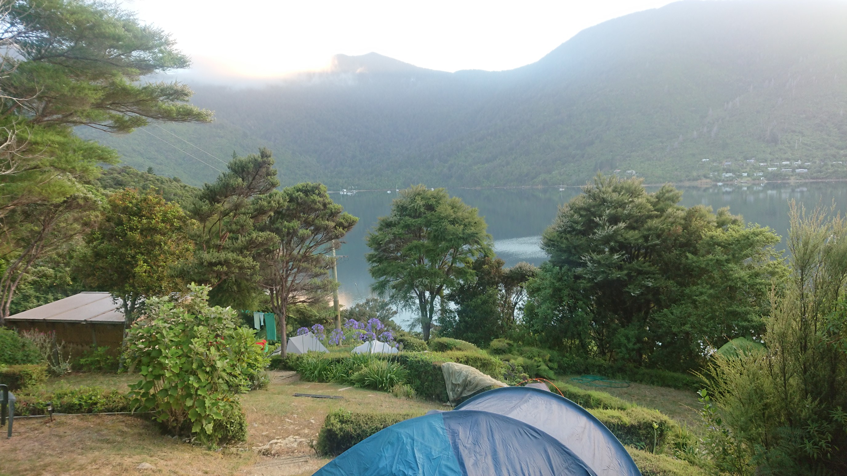
Kuba, Kacka and I leave camp at 7:15am, and have a nice easy walk for 6km.
Then we had some work to do, climb a 250m hill. It was a nice track, but the weather is quite hot already at 9am.
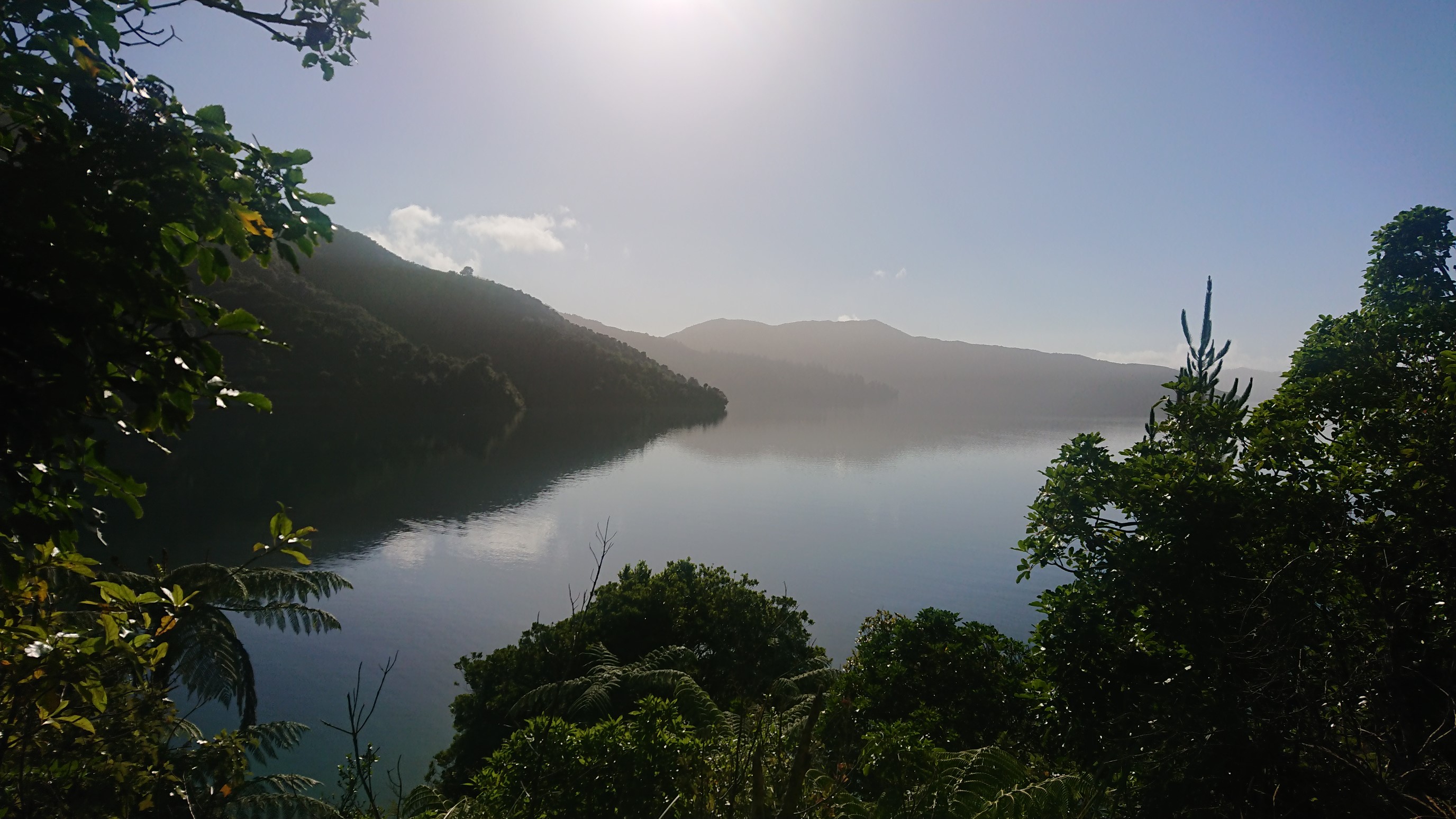
I take a break at the top of the climb, and the Czech couple catches up 10 minutes later.
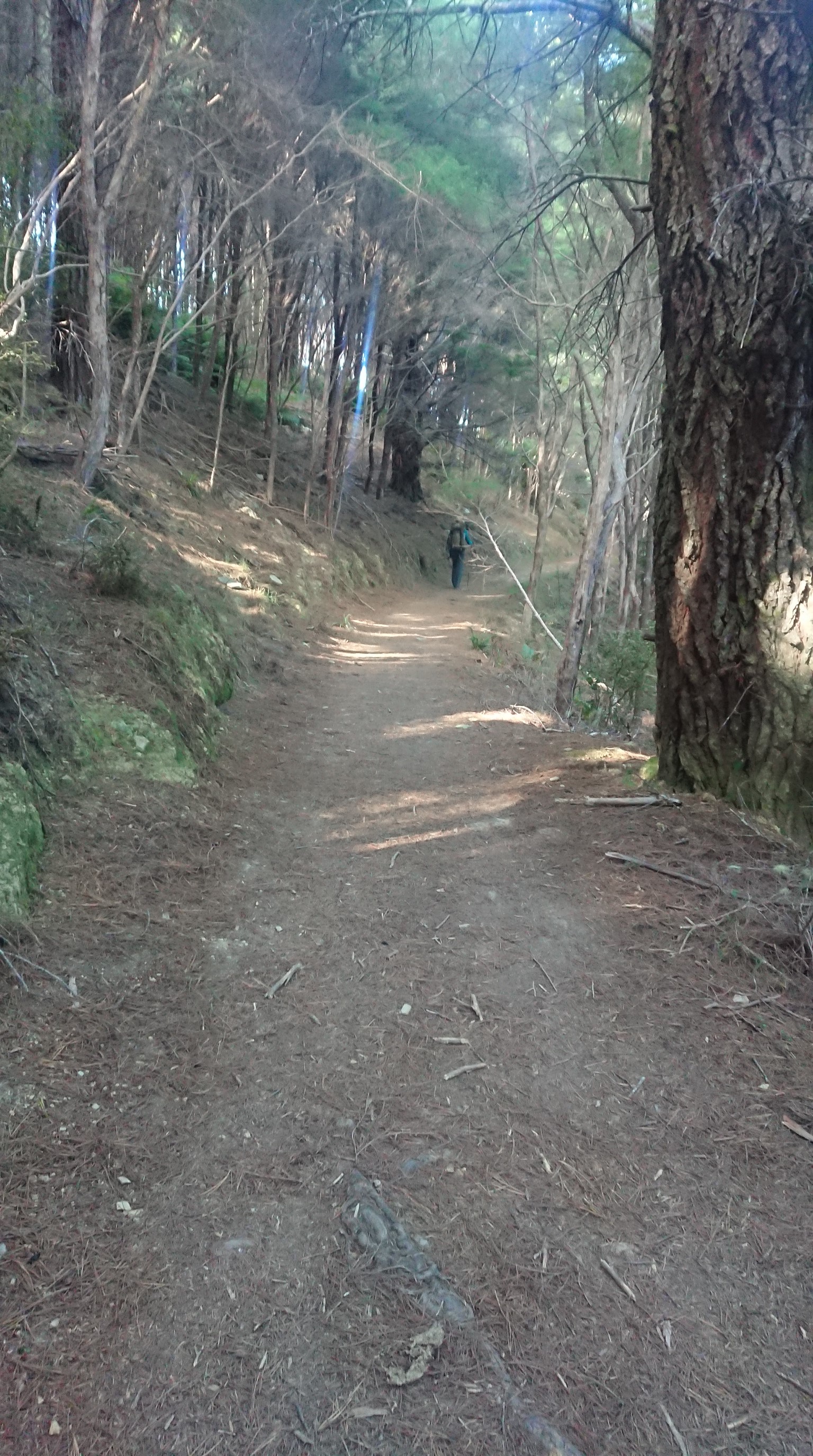
We have a snack break, then continue walking together until our lunch stop. We strategically pick a sunny spot to have lunch, to dry the dew from our tents.
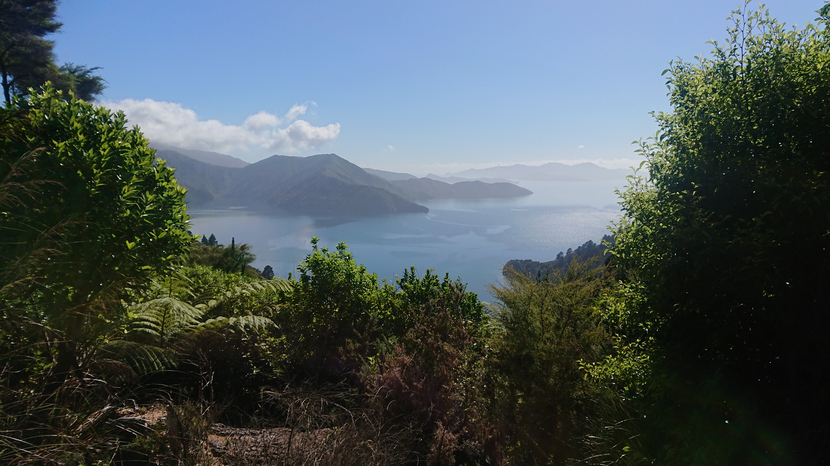

It’s so hot, and the tents dry quickly.
The afternoon is a mix of hot hiking and short breaks, with some photos at the break spots.

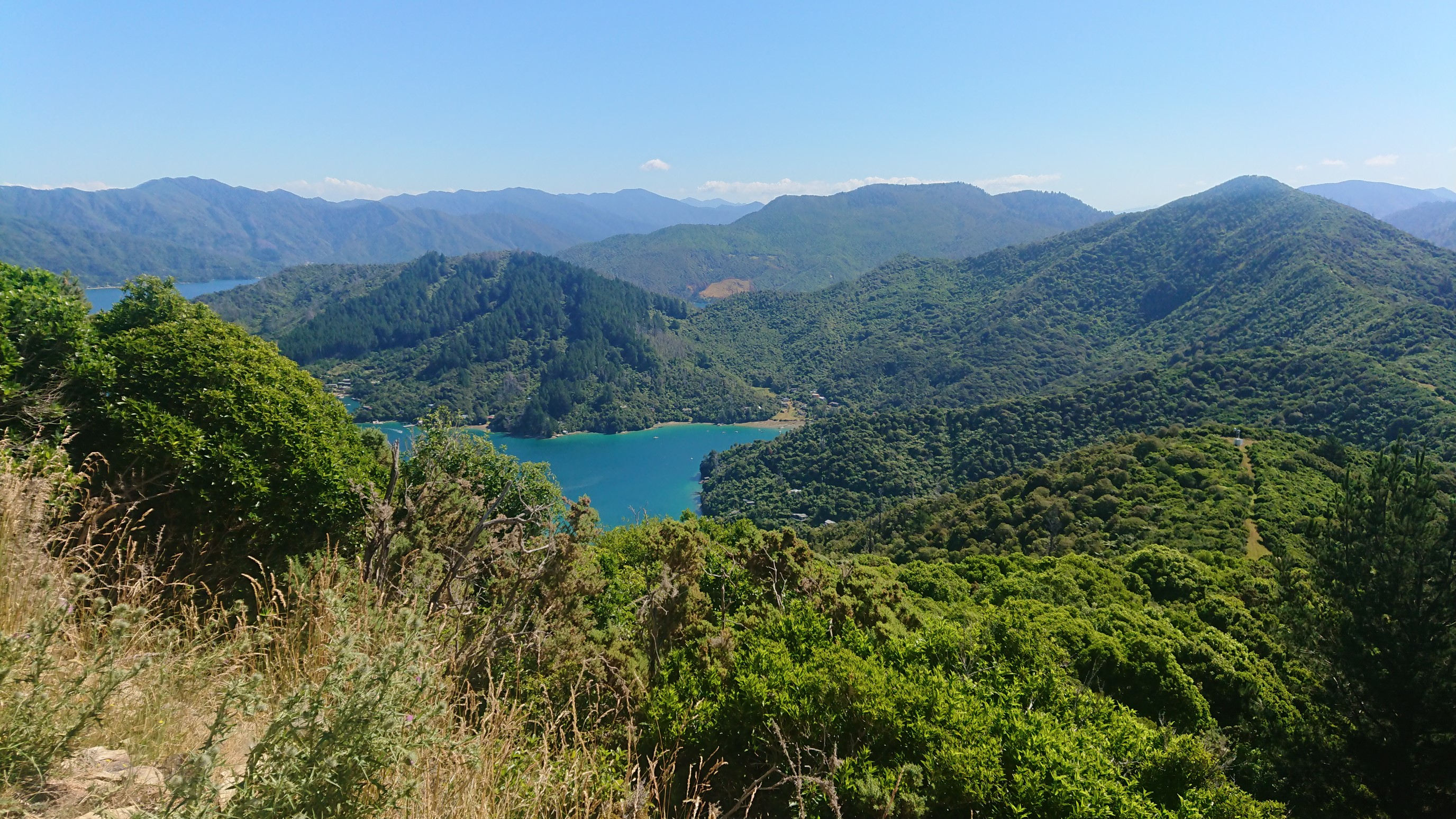
We stop at Black Rock Camp for some water, which has been somewhat scarce on this high ridgewalk. A DOC crew is onsite digging postholes for some new tent platforms, and they are camping here all week. So, we continue onward, soaking in the views along the way.
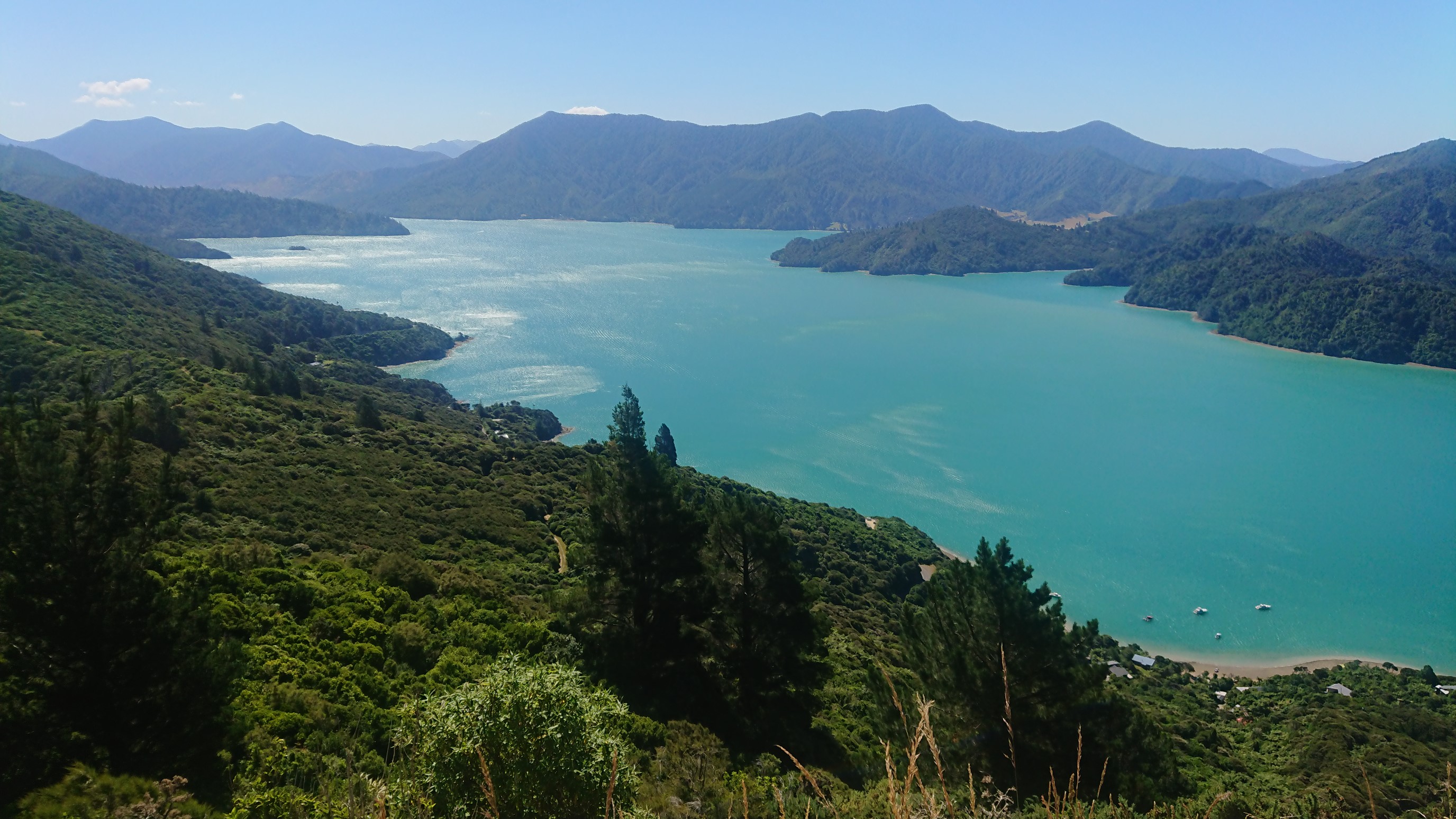
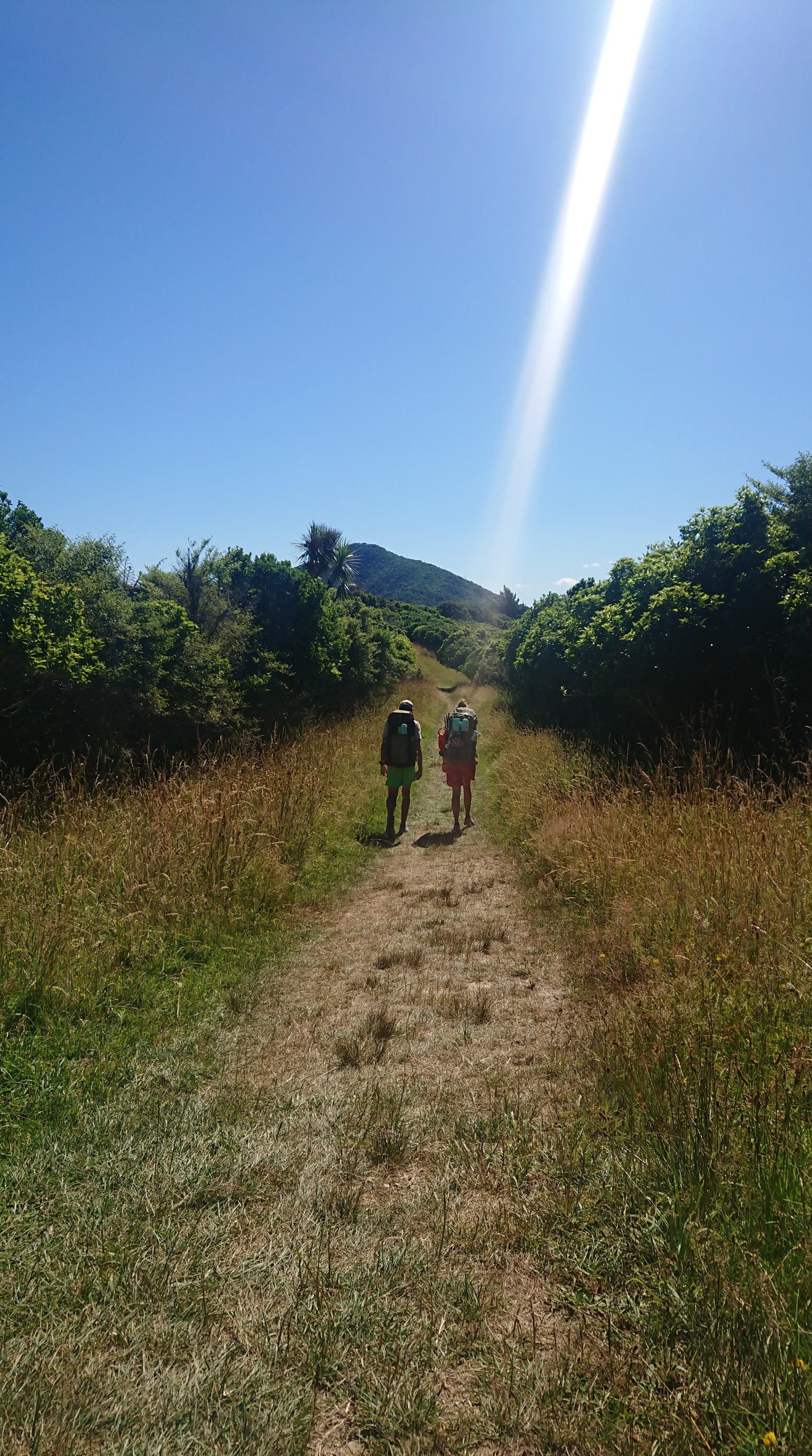
We pass an official campsite, but decide to keep going to a potential campsite a couple hours away. At 6pm we make a water stop and re-fill, knowing the campsite will be dry. We have heavy water-filled packs for the last 45 minutes.
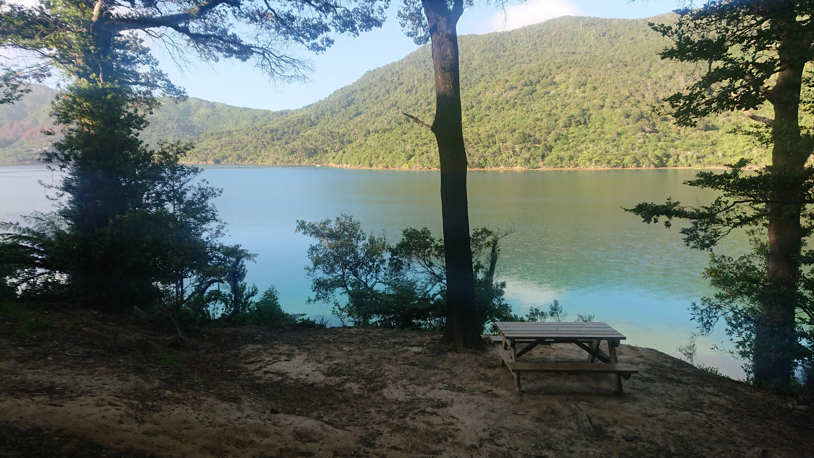
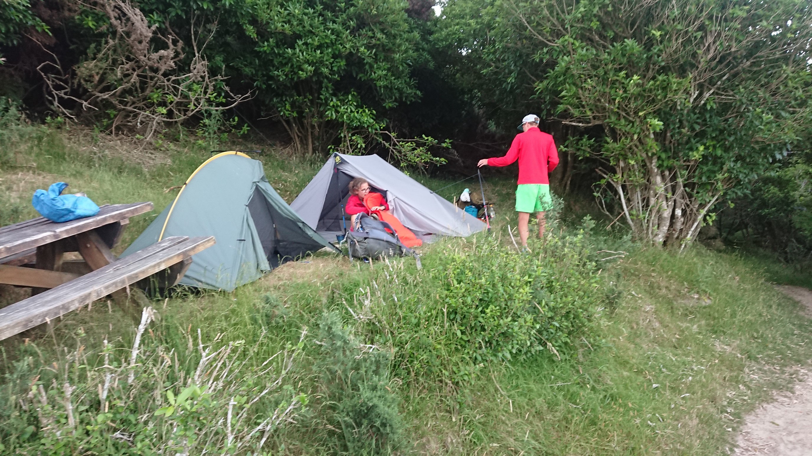
We arrive to the potential campsite, which is just a flat platform with a picnic table on it. We eat dinner first at the picnic table, then we slide the table over and setup our tents. It’s not as refined as other campsites, but it’s free!
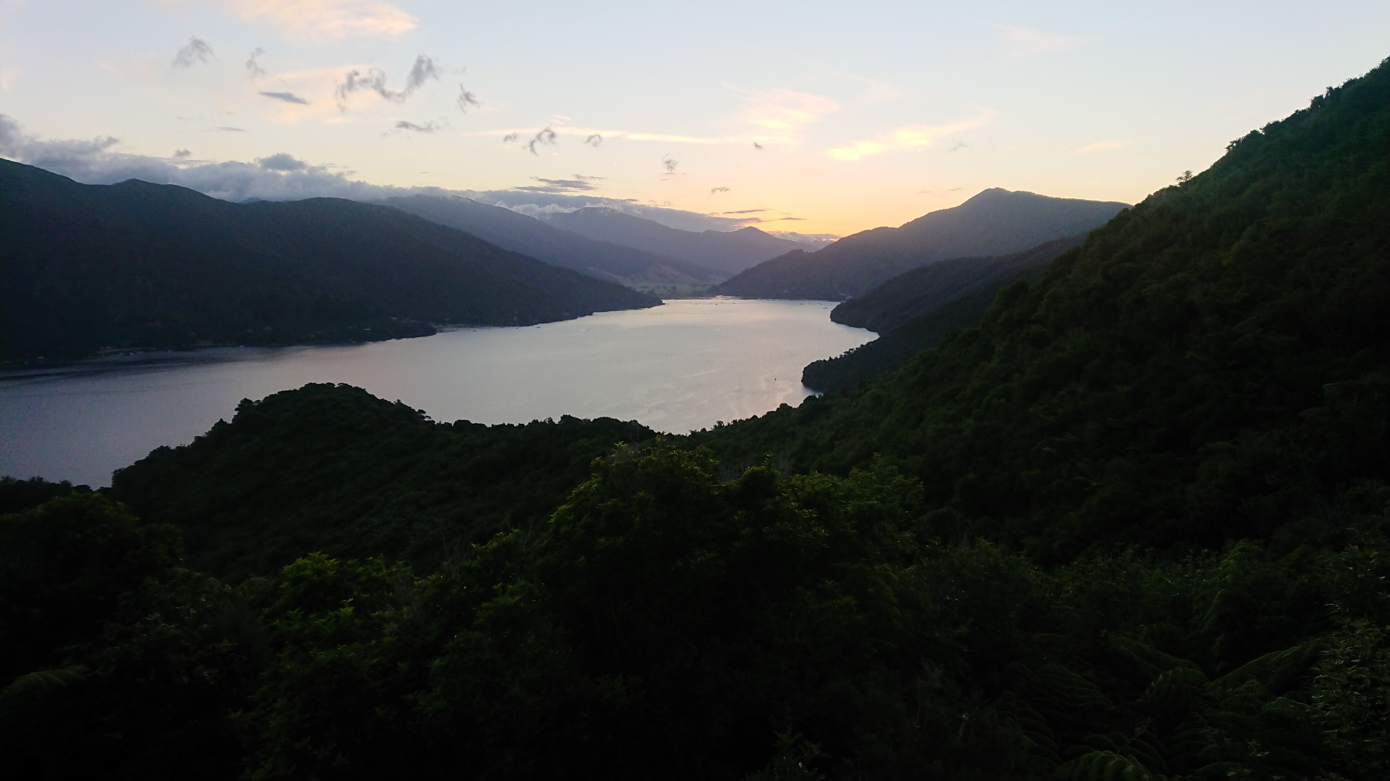
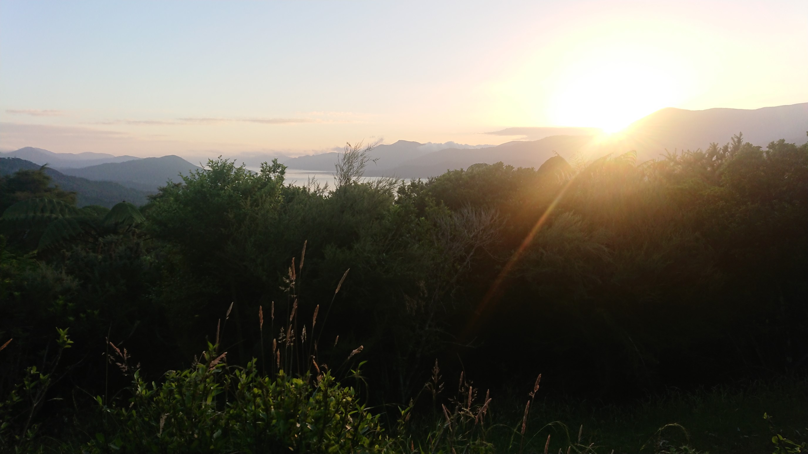
There are some un-shy birds that we have to occasionally “shoo” away, but otherwise it’s a peaceful sunset.
Day 66: Wednesday January 9th, 28.5mi/45.8km
Viewpoint above Houhou Point (1749.0/189m) to Pelorus Bridge (1794.8/35m)
I was awake at 6:15am, and the three of us enjoyed a nice breakfast, it feels so civilized sitting at a picnic table!
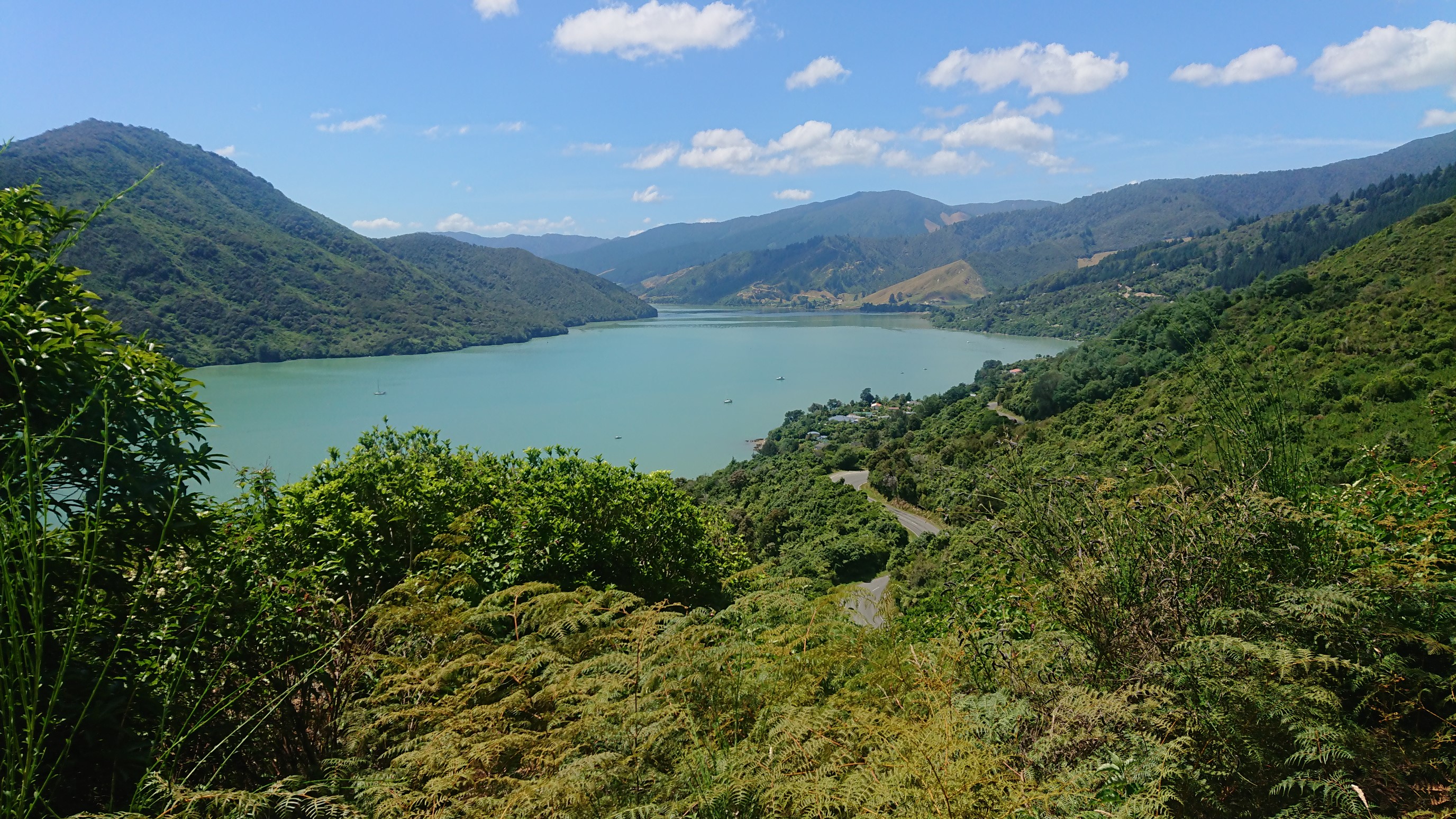
A biker rode by as we were packing up, giving us a confused look as he rode by. I made it to Anakiwa by 8:30am, which means the end of the Queen Charlotte Track. The link pathway is a nice path that parallels the road from Anakiwa to Havelock, with only a couple small 1km sections missing. We stopped for ice cream at 9:30am, and then a “lunch” and tent-drying at noon. After lunch, we walked a nice new track along the Mahakipawa Arm.
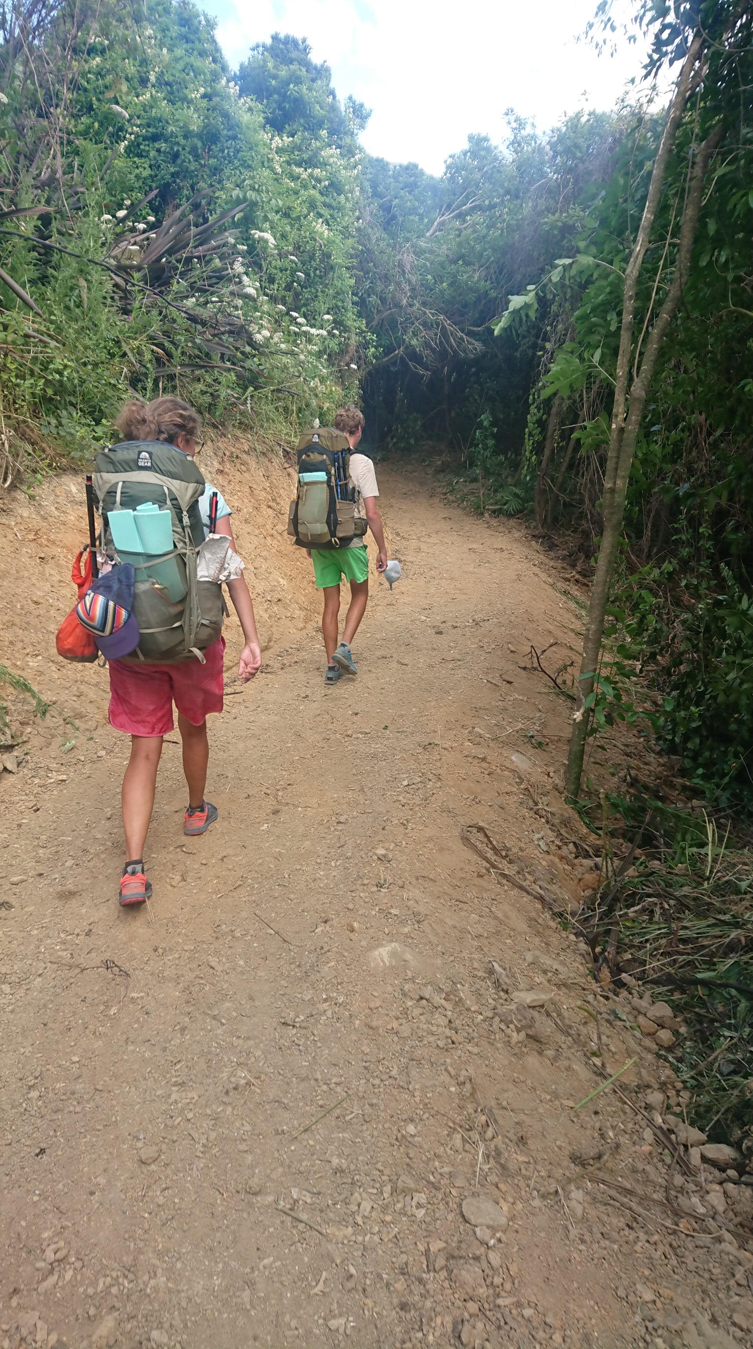
We made it to Havelock at 1pm, and had a quick lunch of fish & chips. After a small resupply, we hiked out of Havelock at 2pm. We walked along a busy highway for 30 minutes, then a nice quiet gravel road for 2 hours. We almost caught up a Polish hiker, but they were speedy. We finally left the gravel road, and the last 7km of the day was on a farm track.
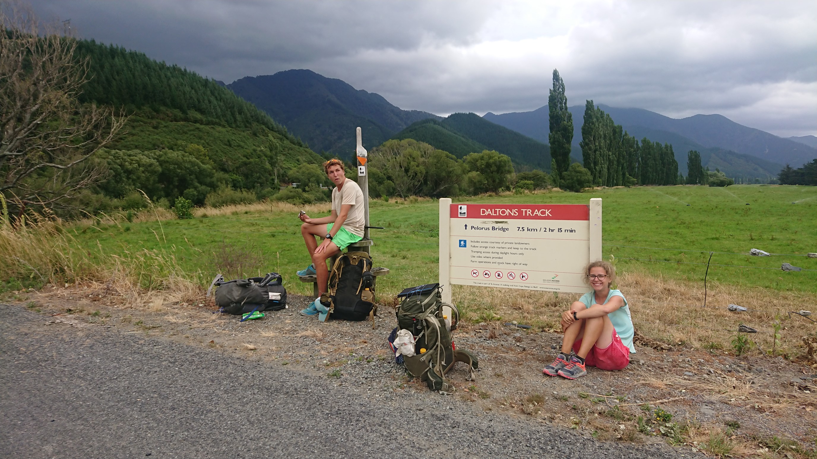
There were all the usual suspects of a farm track in NZ.
Cows:
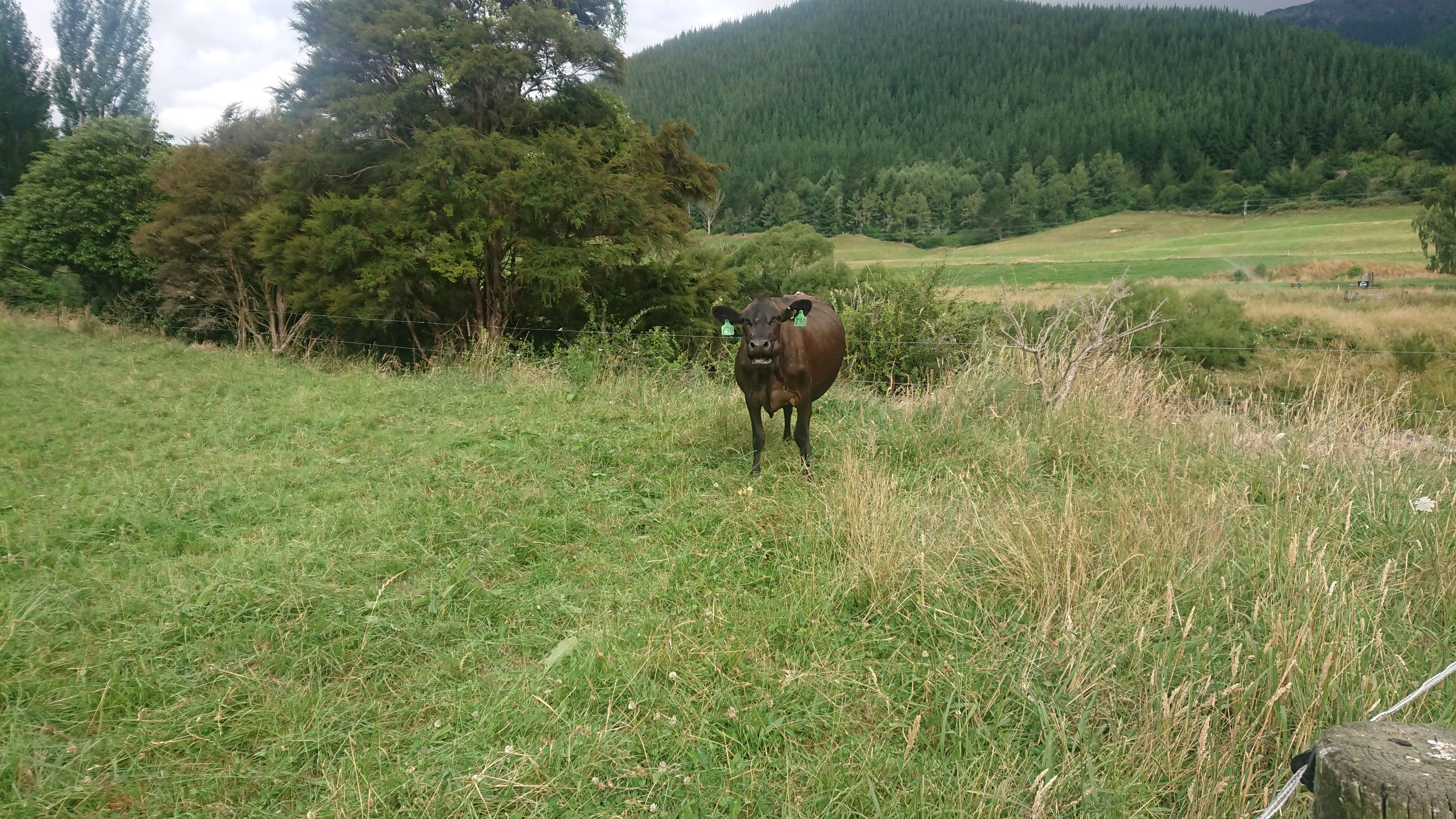
Fields with fences:
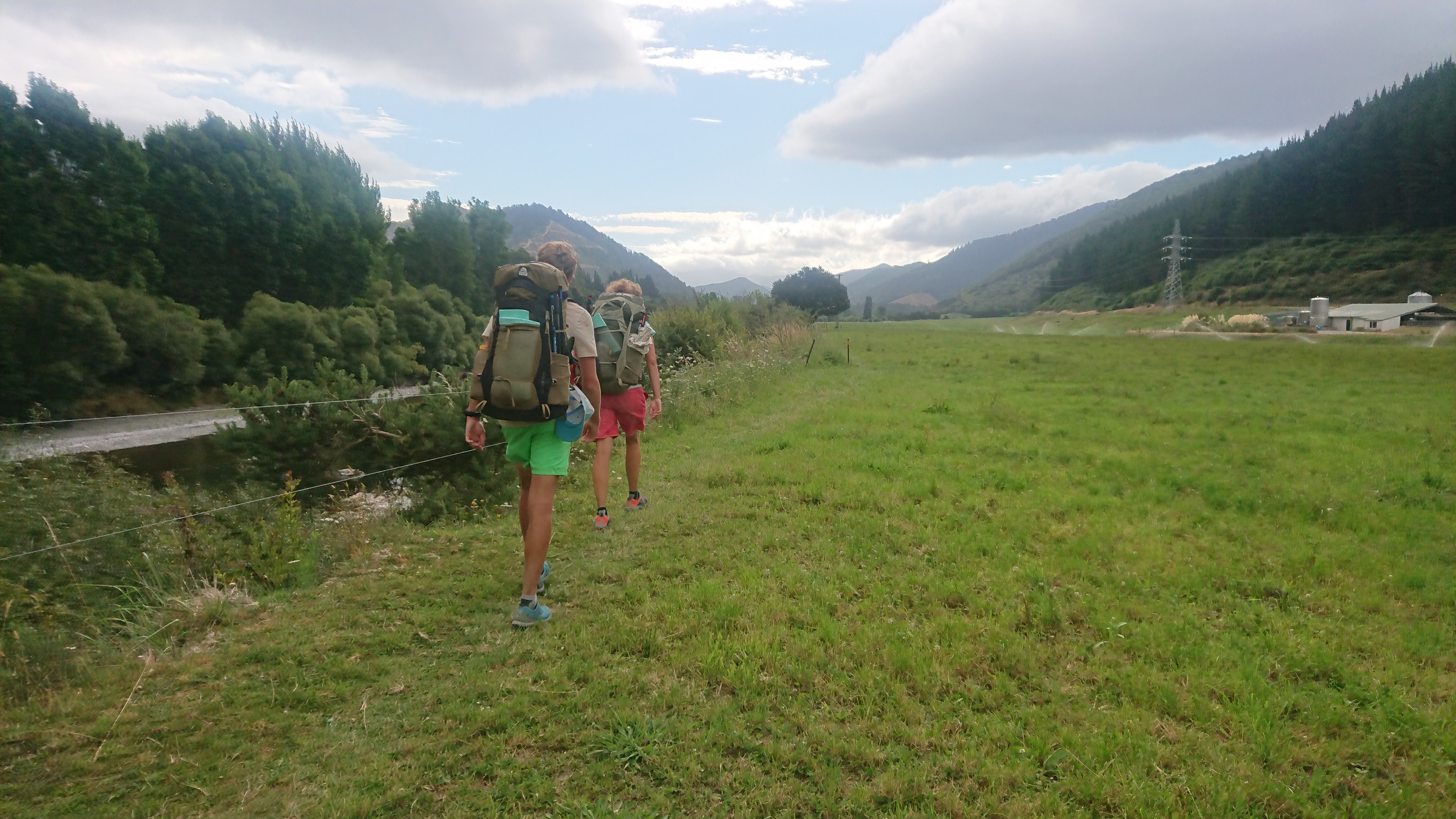
We arrived at Pelorus Bridge at 6:45pm, and stop at the nearby campground to use the bathroom and take a quick break. We see Amanda & Ruben, who are camping there, they are heading into the Richmond Range tomorrow! But we are taking a side-trip, hitchhiking out to Nelson, to start our Abel Tasman walk tomorrow. After 5 minutes, two guys in a ute (pickup truck) stop and give us a ride, and they insist we stop for to-go beers at their favorite bar along the way.
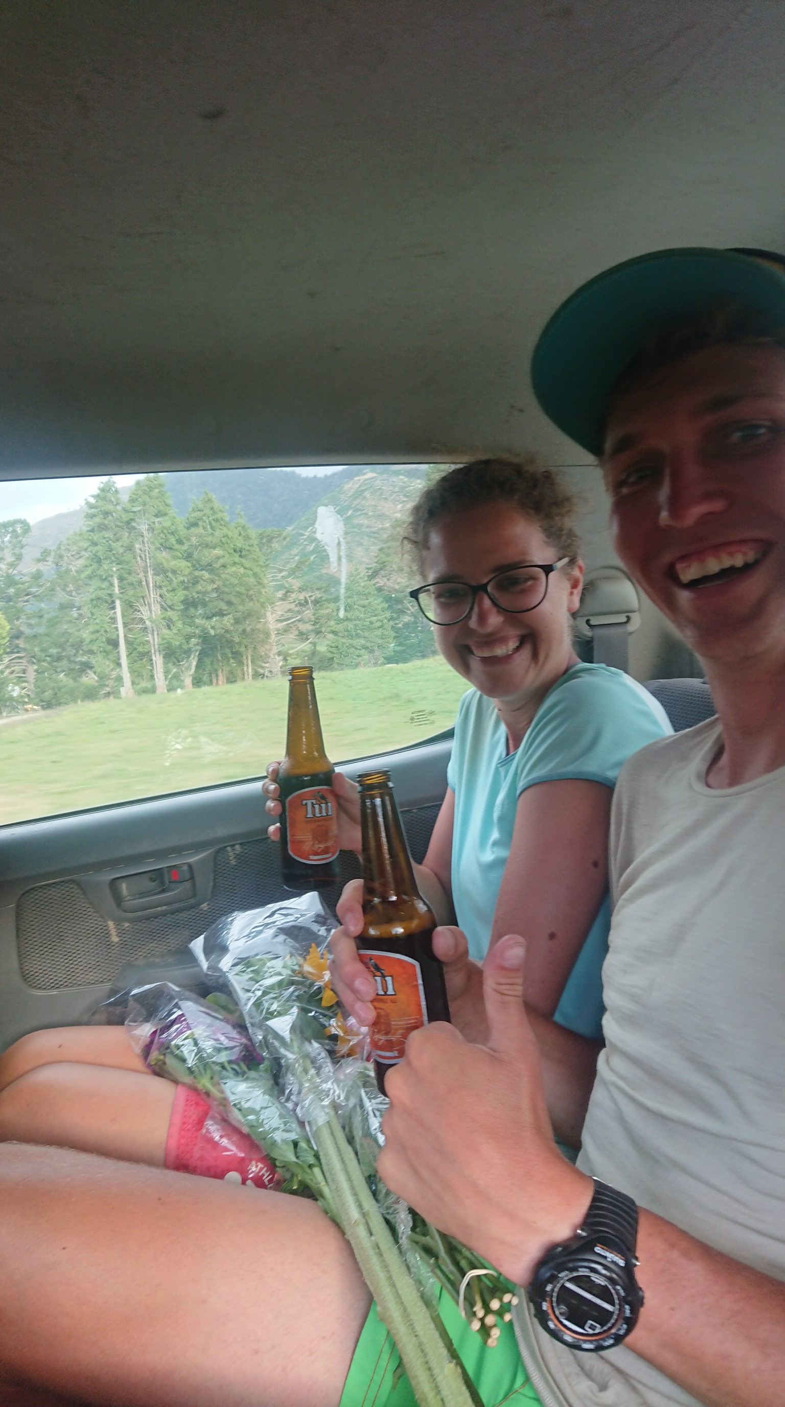
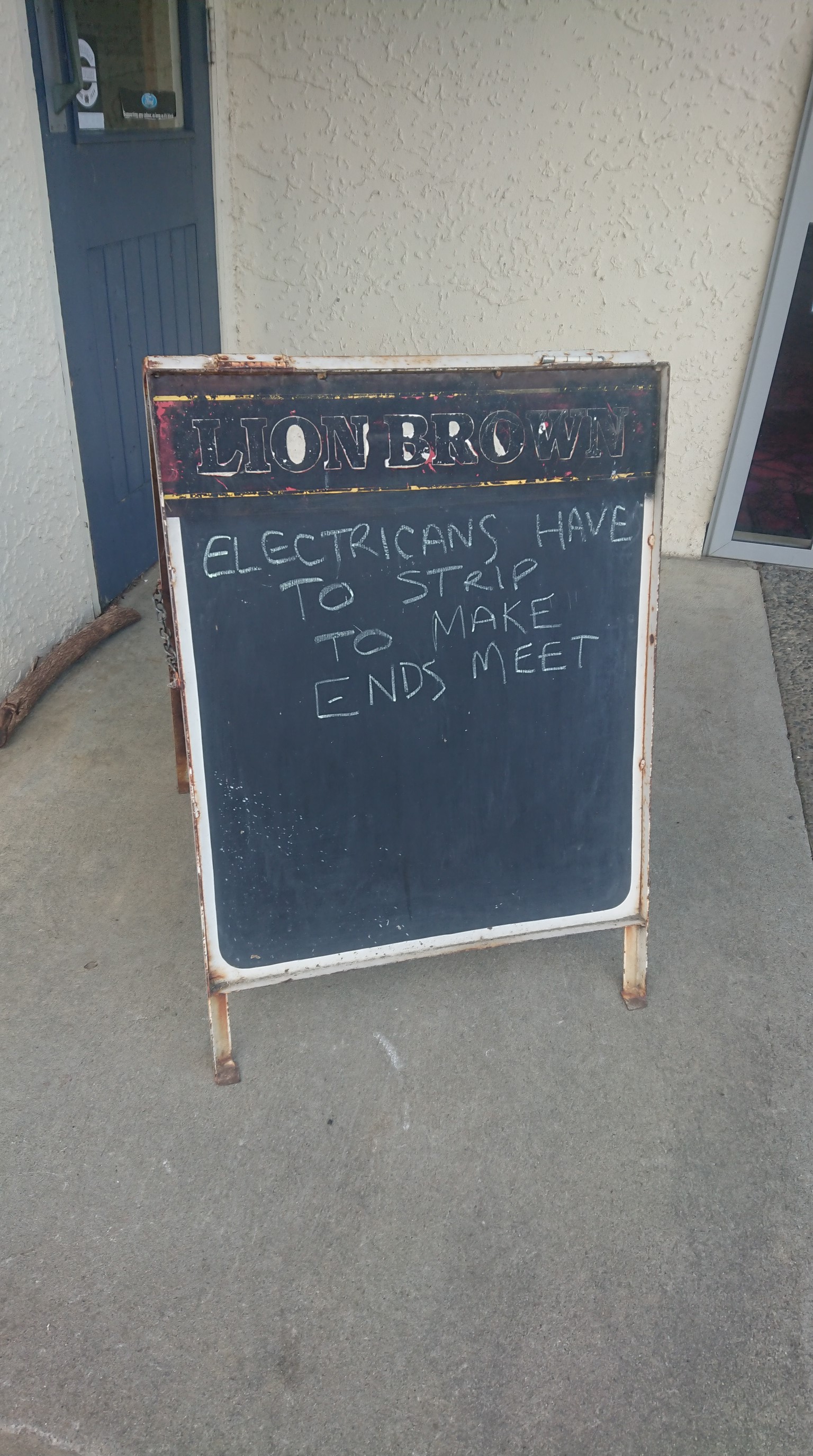
After an hour drive, they drop us off in Nelson, and we quickly get another hitch to Richmond. It’s a short drive and we are in town at 8pm, which seems like plenty of time to get dinner and a hotel room. To our surprise, everything in this town closes early, and we are stuck eating Domino’s pizza, and wandering around looking for any open hotel. We finally get a room and pass out at 11pm.