Day 80: Wednesday January 23rd, 26.7mi/42.9km
Boyle River Outdoor Centre (2050.7/581m) to Hurunui Hut (2093.6/627m)
I’m up at 7am, the bed is really comfortable! Everyone else is starting to stir as well. I get packed up and hit the trail at 7:30am.
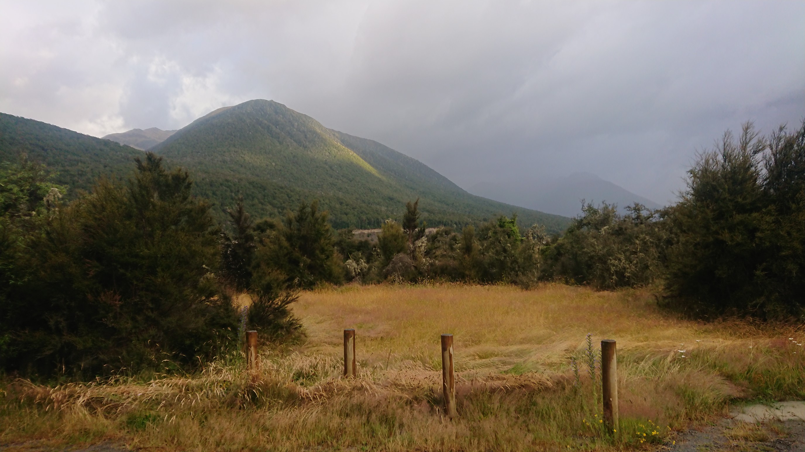
I opt for the roadwalk option, as the river looks a little too high to ford.
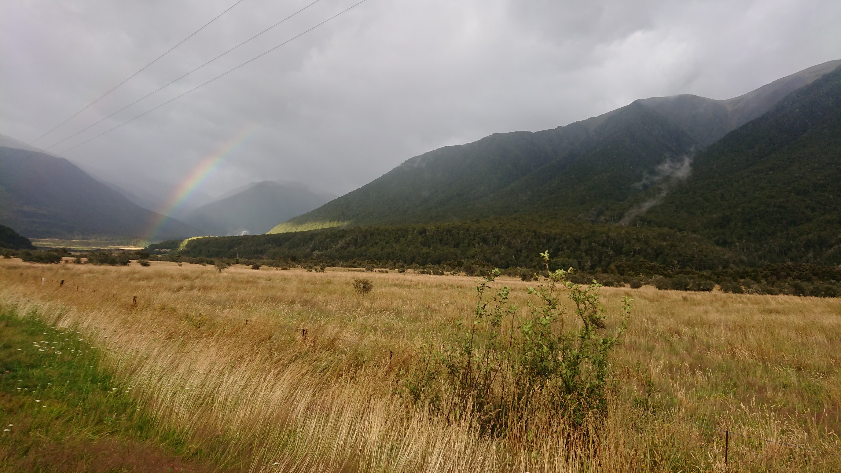
It rains lightly on and off, and the umbrella is handy.
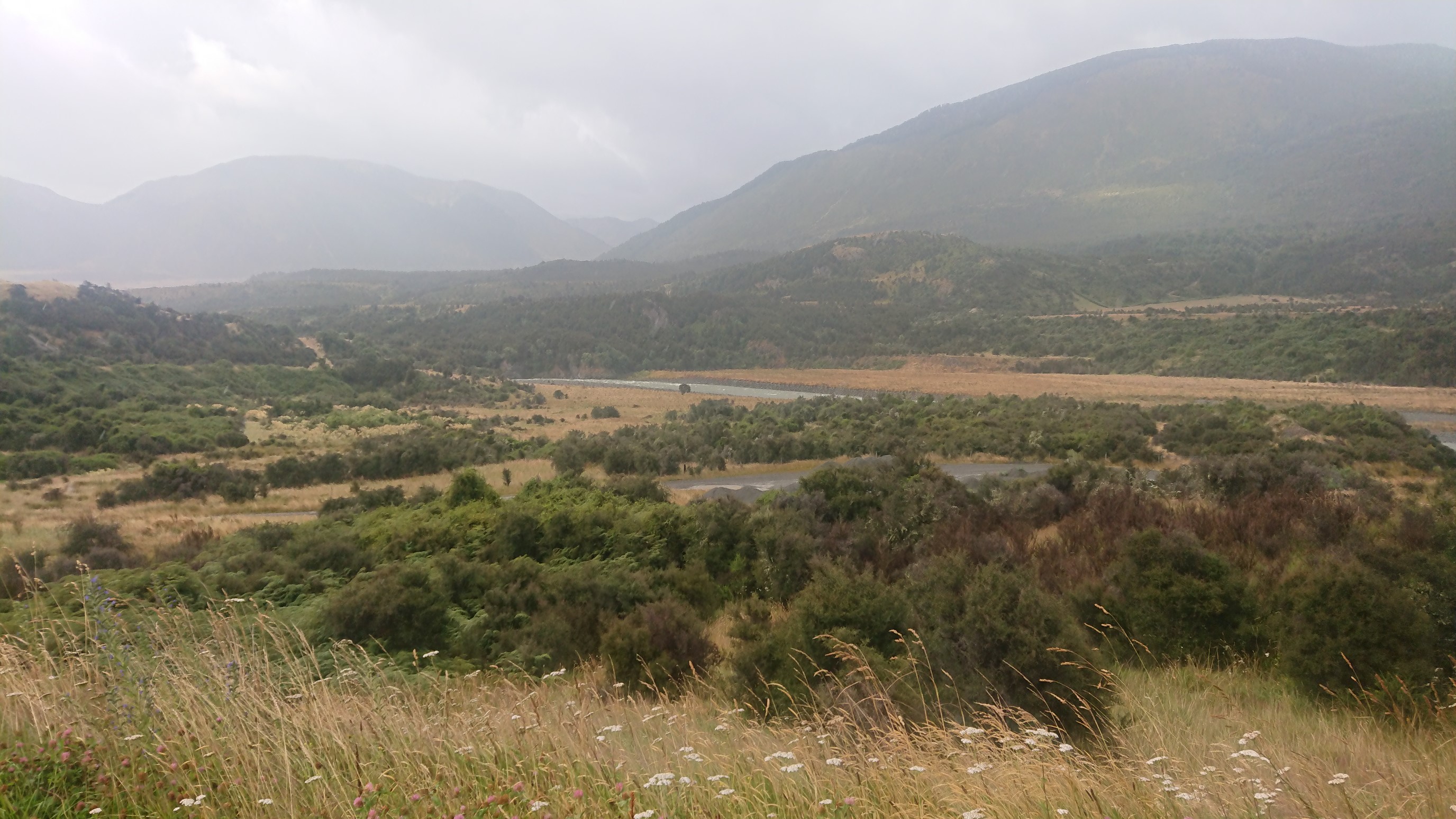
I get to Windy Point, and have a dry break in a bus stop shelter. It’s a short break – the sandflies found me again! I push into the forest at 10am, and it’s sprinkling so lightly that I put away the umbrella. Looking down into the Hope River valley:
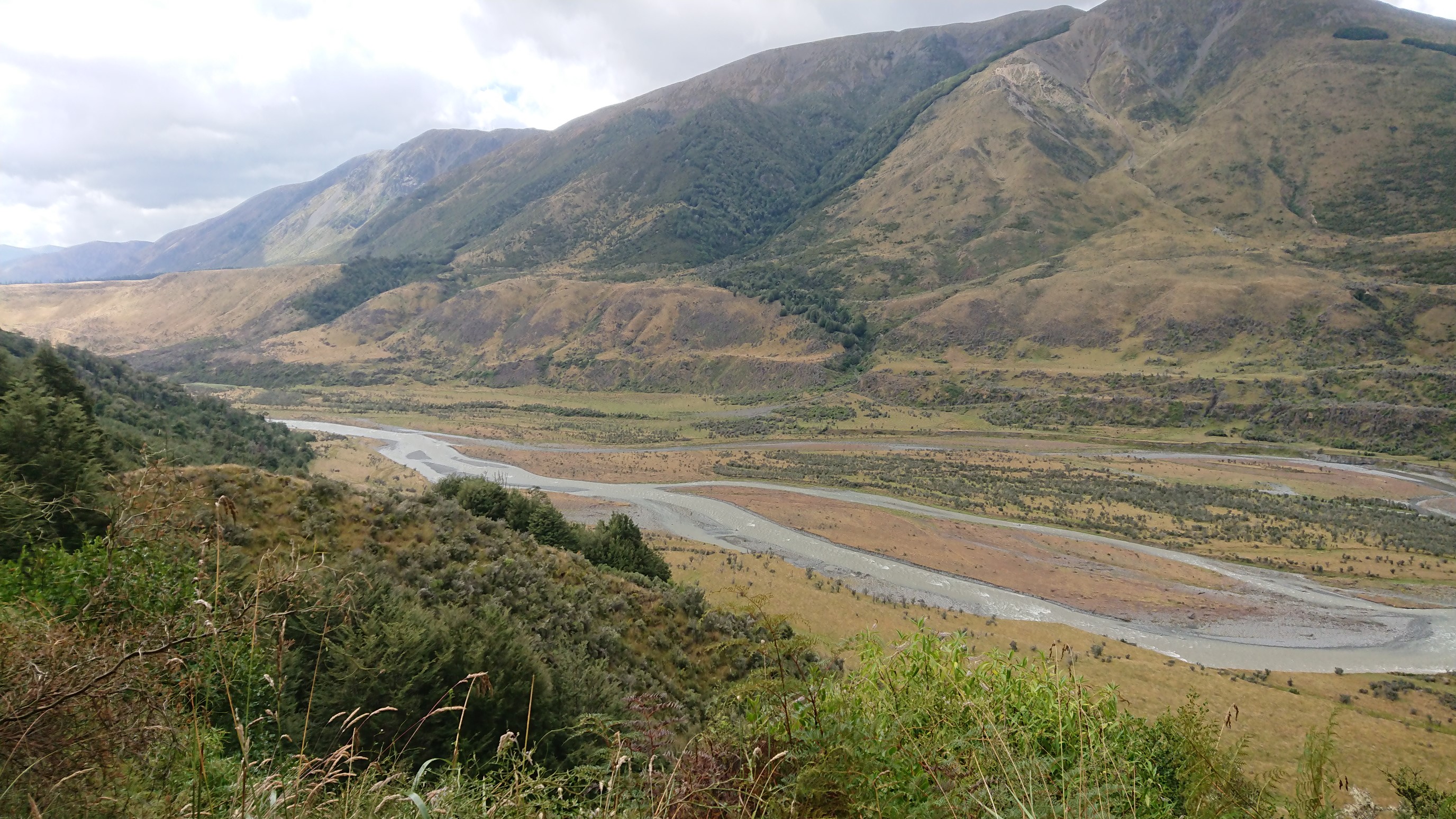
By the time I reach Hope Halfway Hut, it’s noon so I have lunch.
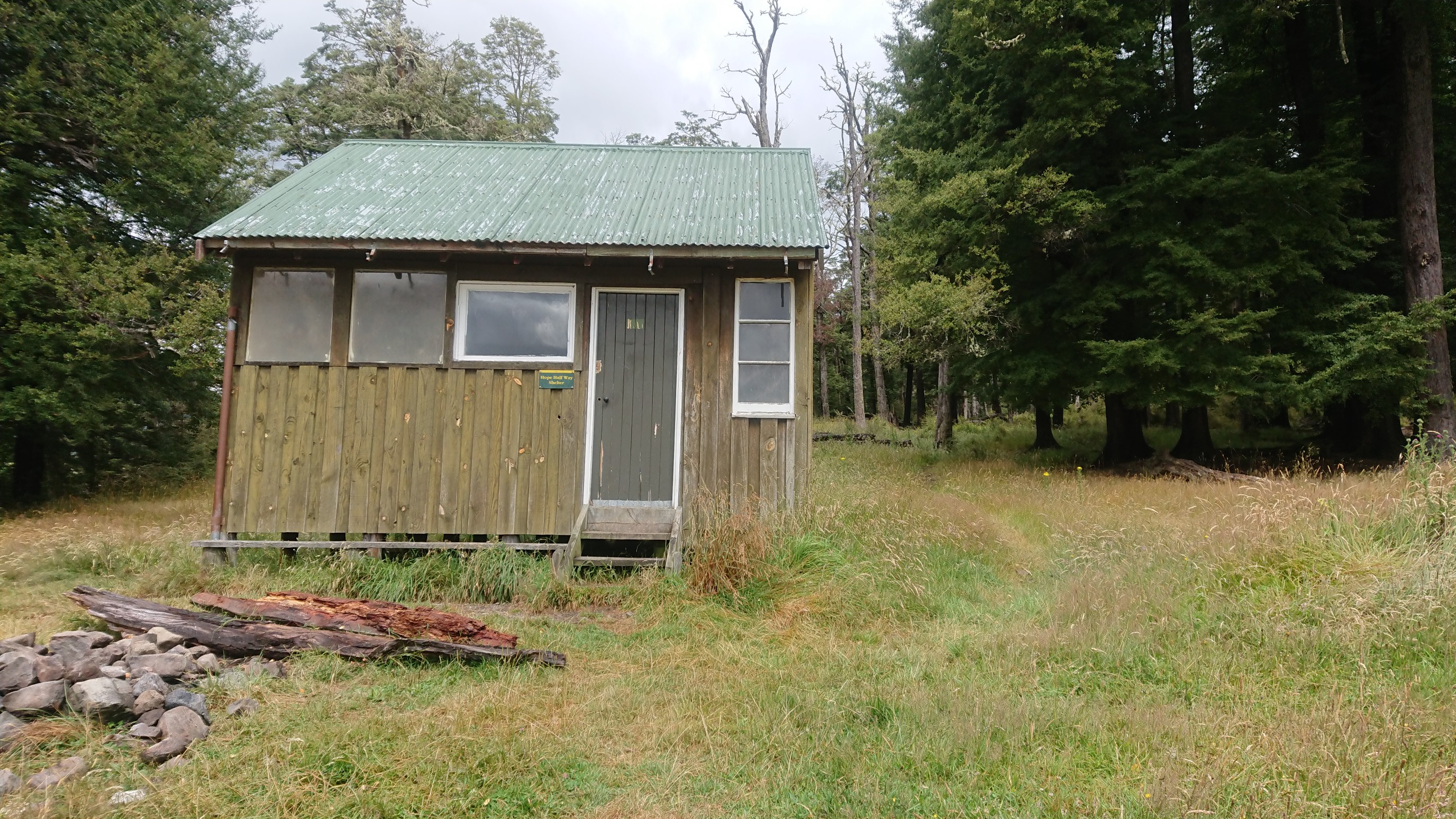
After lunch, I’m able to put away the raincoat too, there are breaks of sunshine! I follow the Hope River upstream for awhile, finally crossing it on a nice swingbridge.
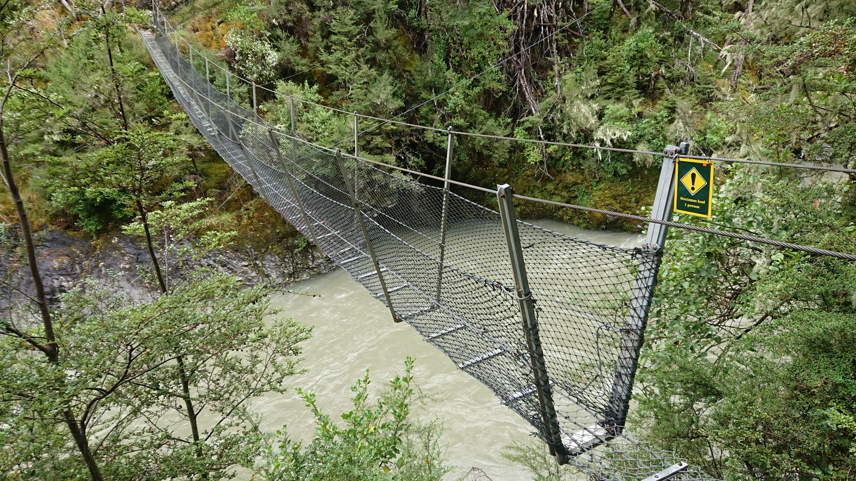
Two hours after I left the previous hut, I’m at the Hope Kiwi Lodge. I have a nice chat with the lodge’s only occupant – a German TA hiker. After 20 minutes I depart, the trail is so nice!
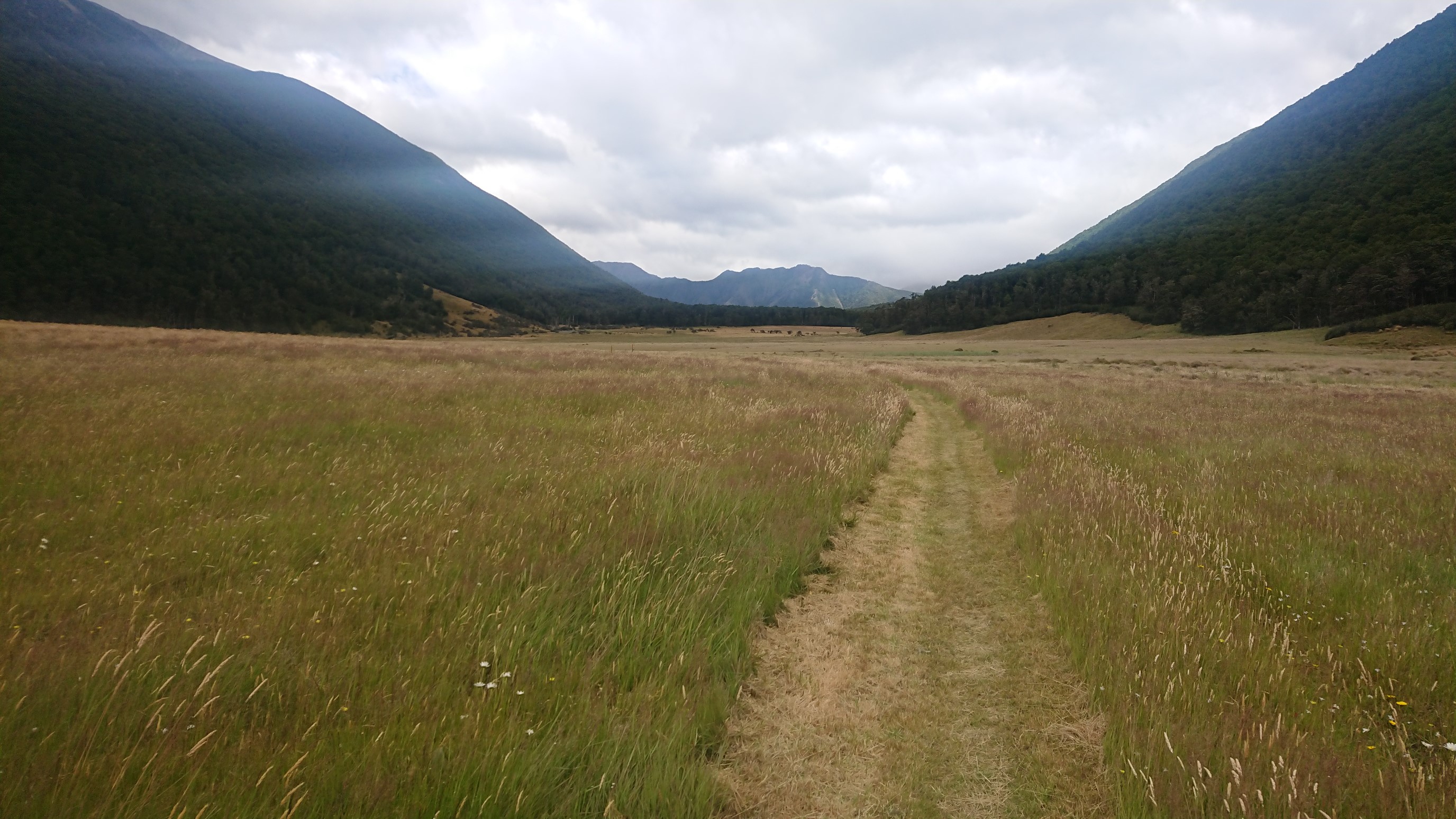
After cruising thru grassy meadows, I hike over Kiwi Saddle, and then the rain starts to come.
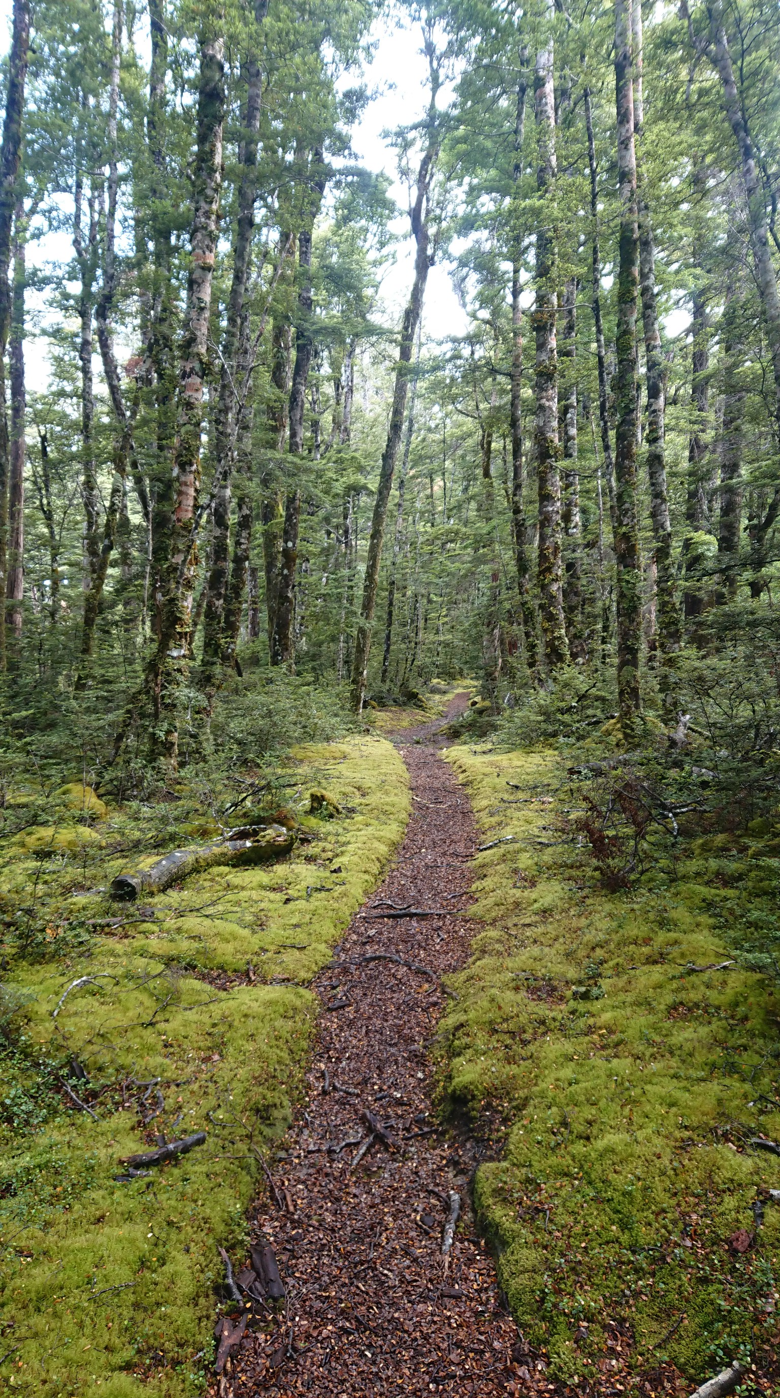
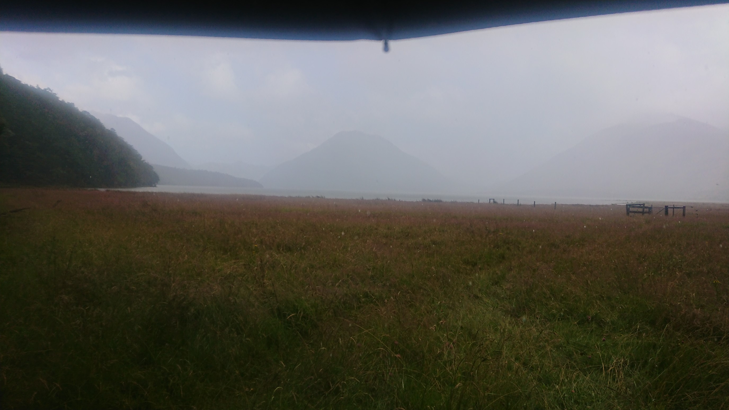
By 5:30pm, it’s a full on downpour, with so much wind! So much wind. I get to Hurunui Hut at 6:30pm, very soaked. There are at least a dozen other hikers in this huge hut, and I claim a bunk and change into dry clothes. I eat my dinner by the warm woodstove, and fall asleep by 9pm.
Day 81: Thursday January 24th, 14.9mi/24.0km
Hurunui Hut (2093.6/627m) to Locke Stream Hut (2117.6/510m)
I was up at 6:45am, I didn’t sleep great after a group of guys came in at 9pm, and were loud for awhile. With all the people in the hut, I have trouble finding a spot to get packed up, but finally get out at 8:20am. I chat with the “other” Czech couple before leaving, I hope to see them again in town. It’s a little cold, so I hike in a vest and warm hat for an hour.
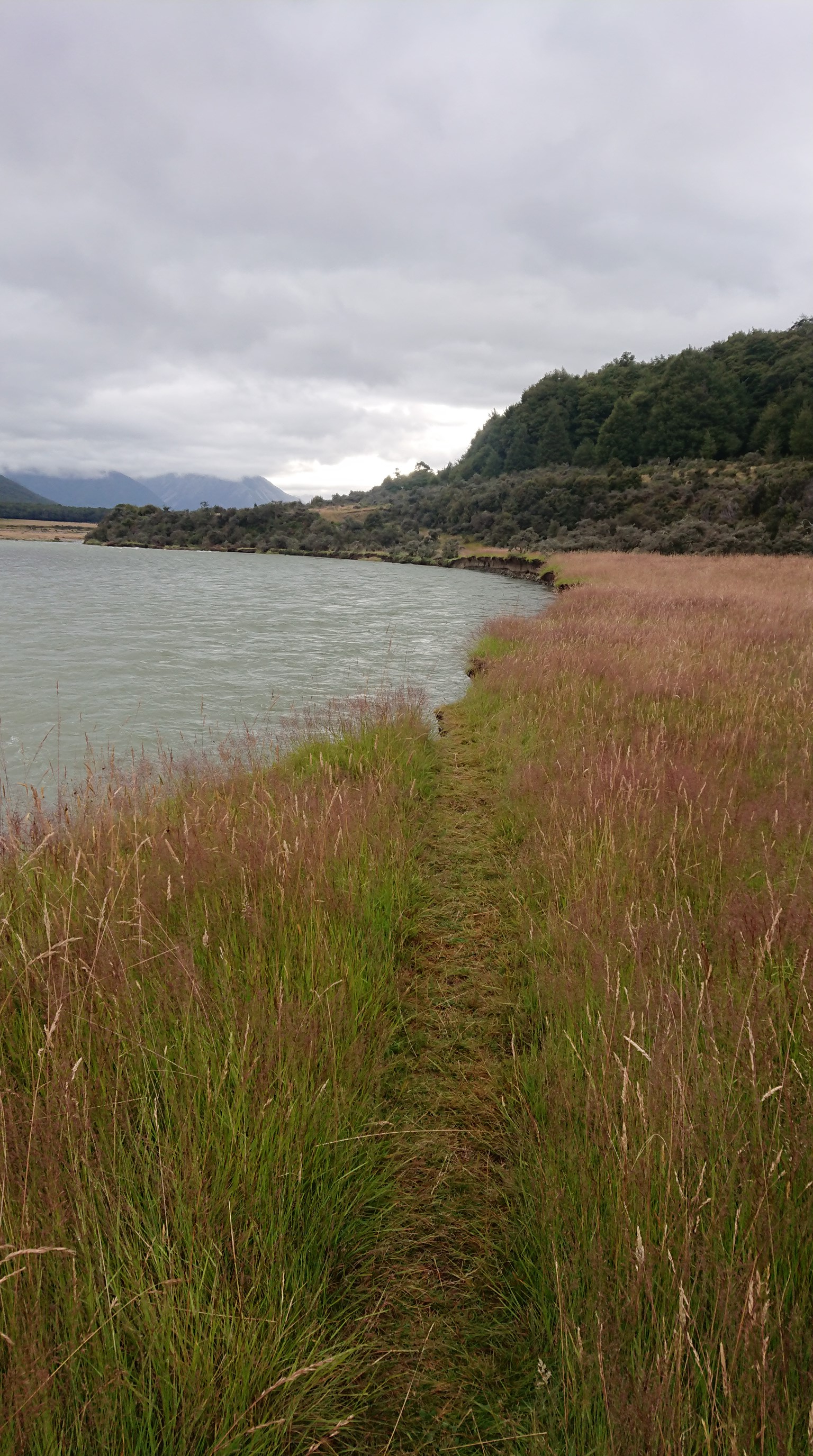
I follow the Hurunui River upstream for awhile, and come across a hot spring! I have a quick dip in the 40C water.
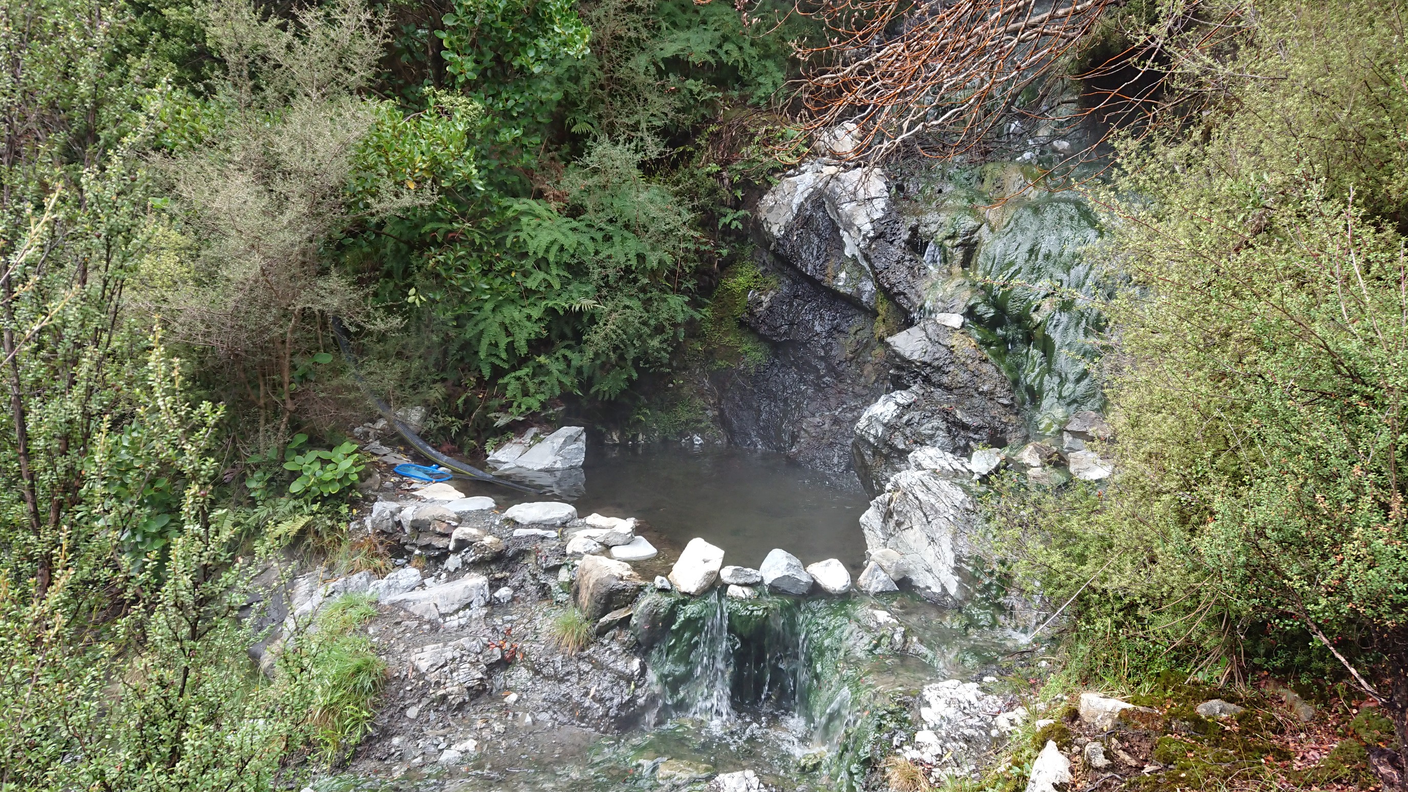
I catch the Canadian & Kiwi duo just before Hurunui #3 Hut, and we all have a small break in the hut. The dutch couple also comes in a bit later.
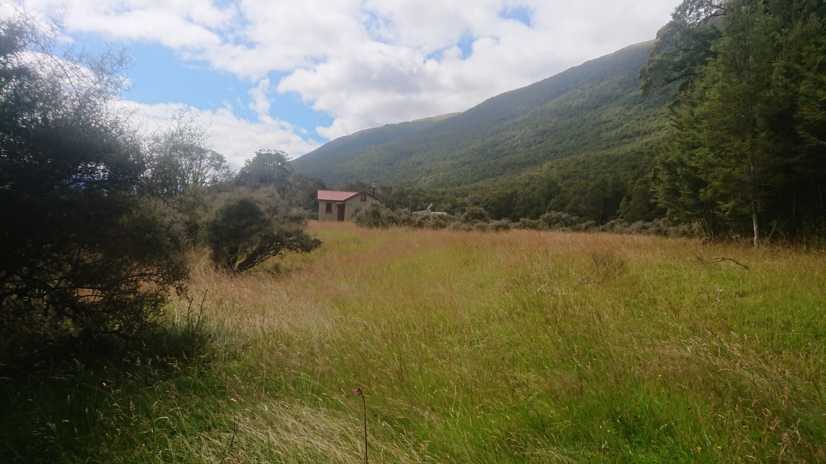
I leave and soon come to a strange bridge over Cameron Stream. I think normally this stream is easily forded, but this “emergency 3-wire bridge” is nice to have, even if it’s alarming to use.
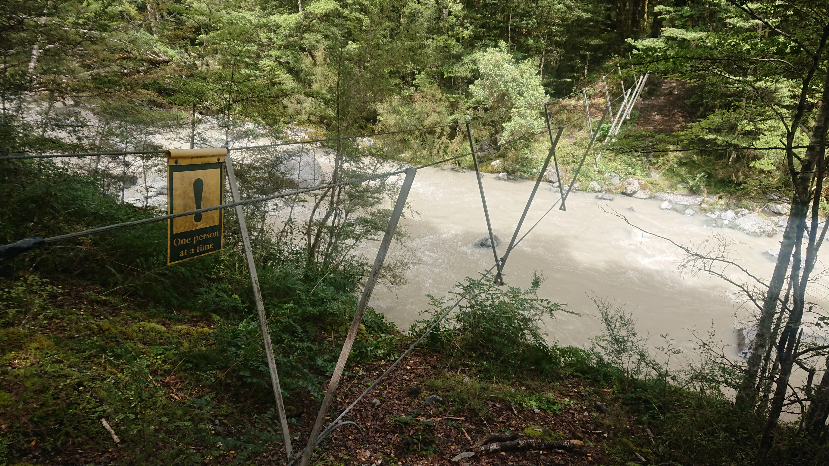
I arrive to the next hut, Cameron Hut, and have lunch. The group of four catches up, and they all come in and say hi, and then quickly leave. Then I catch everyone again 3km later. After a brief look around the Harper Pass bivy, I continue over Harper Pass at 3:30pm.
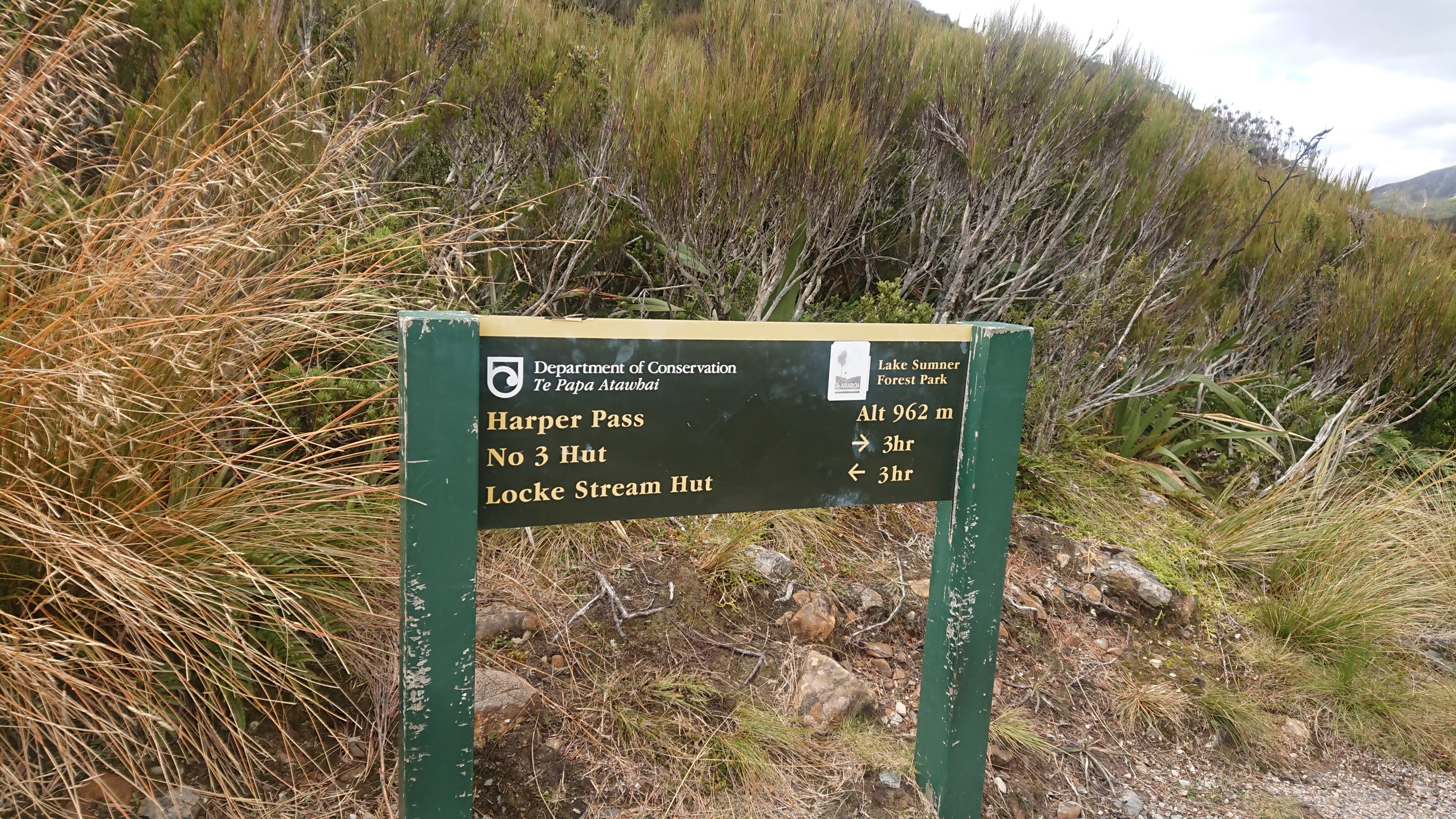
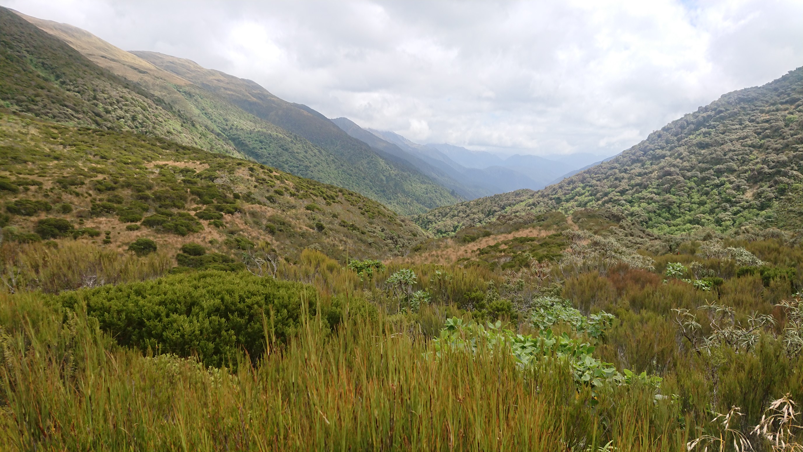
The trail down the other side is pretty steep.
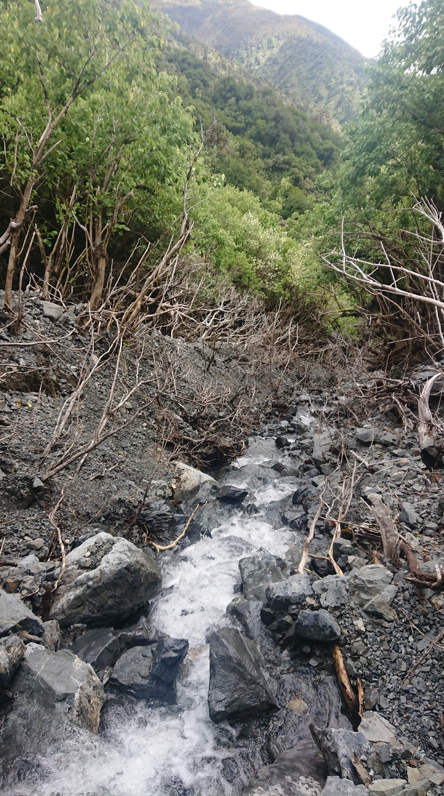
I descend to the Taramakau River, and follow it downstream the rest of the day.
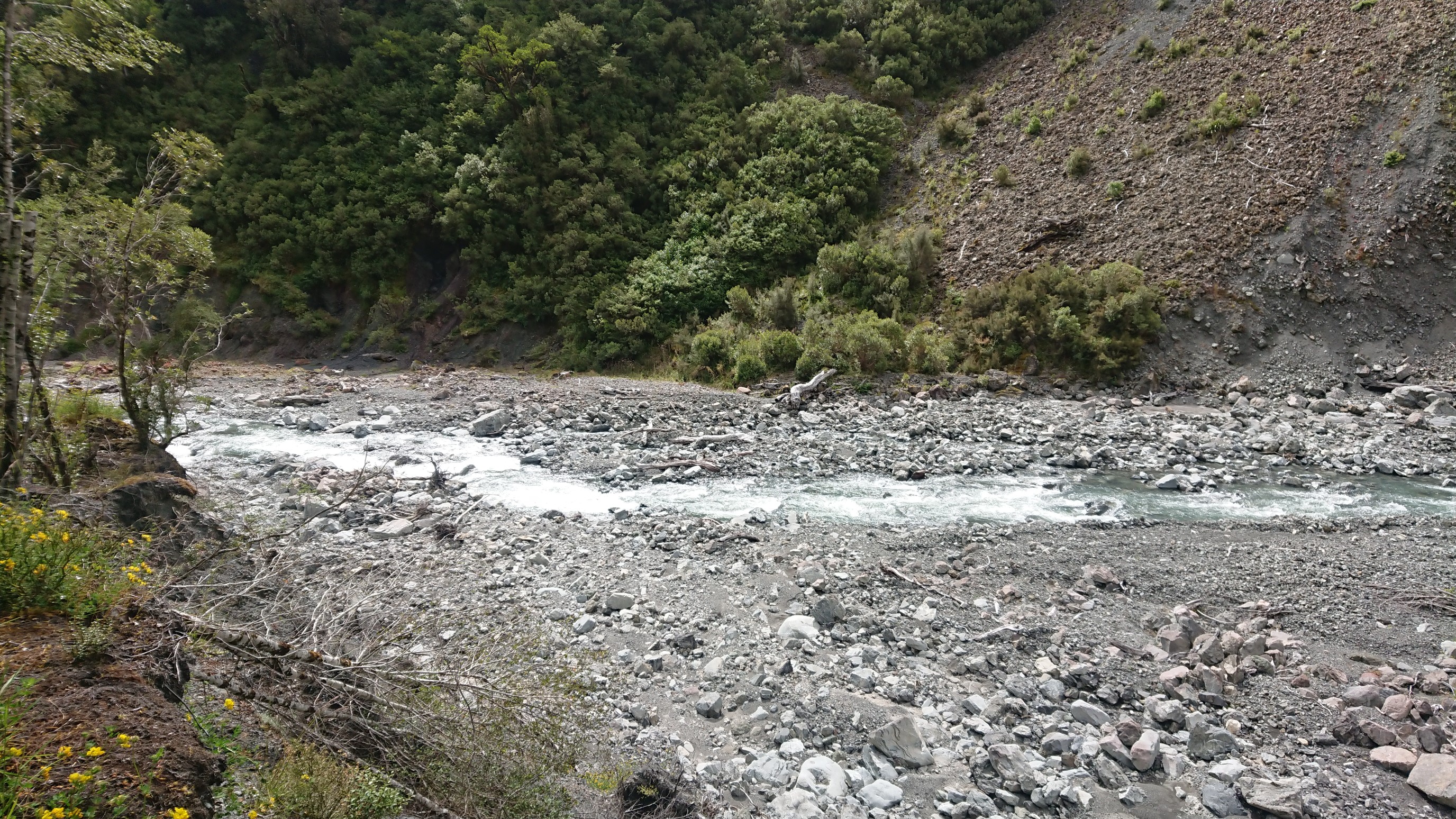
There are cool bird tracks in the river mud.
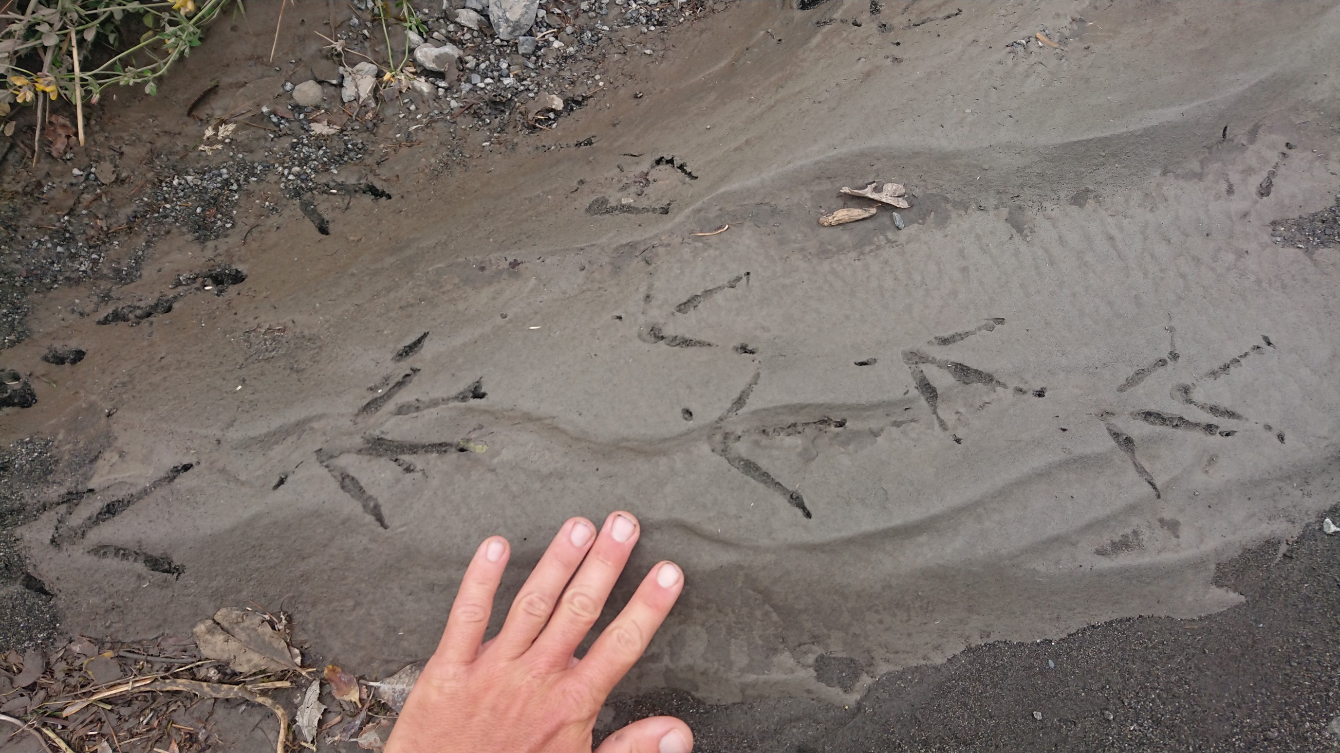
And these neat red rocks, I think they’re covered in some sort of moss?
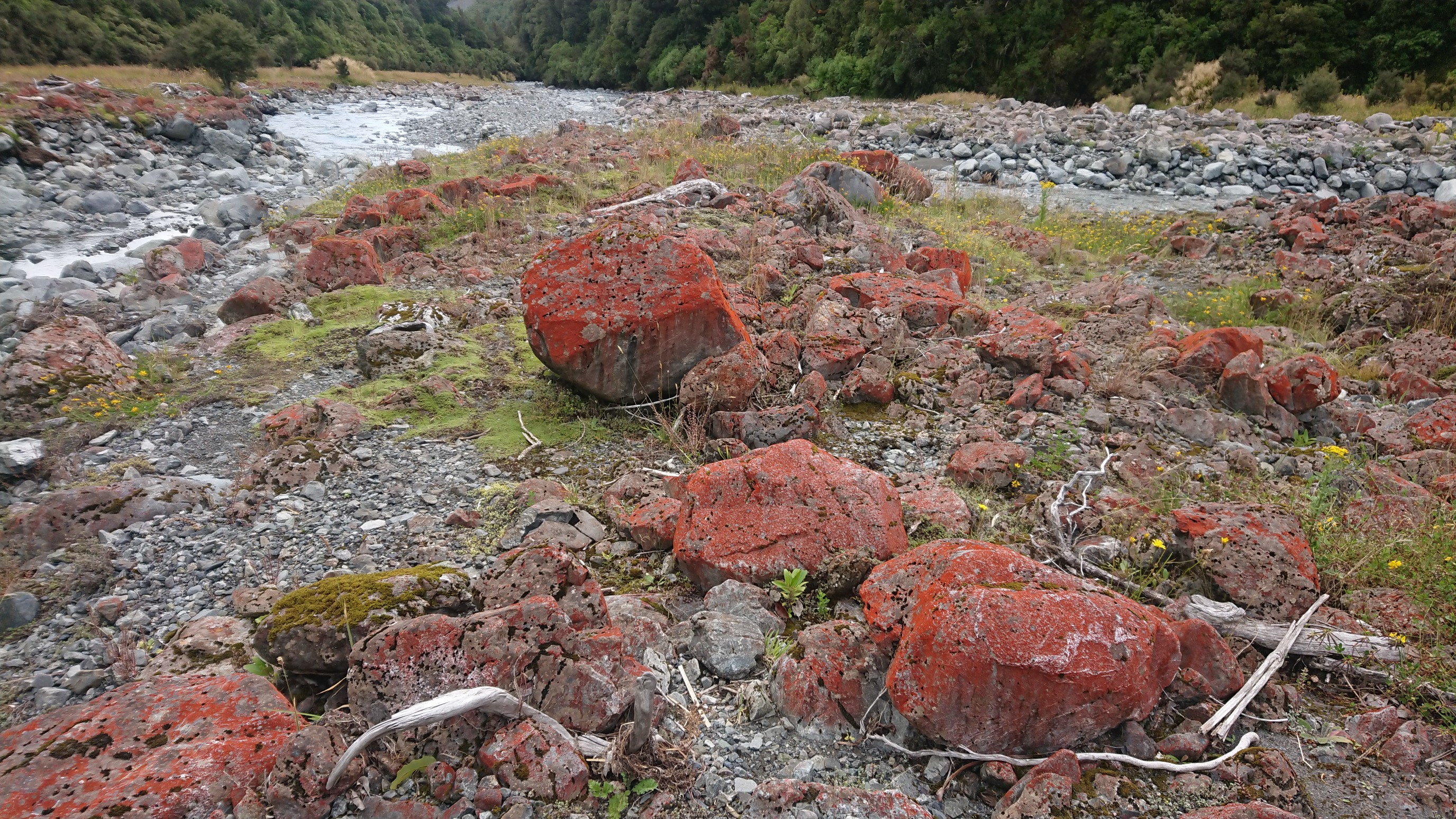
Just around the corner is a cool distance marker, 2100km!
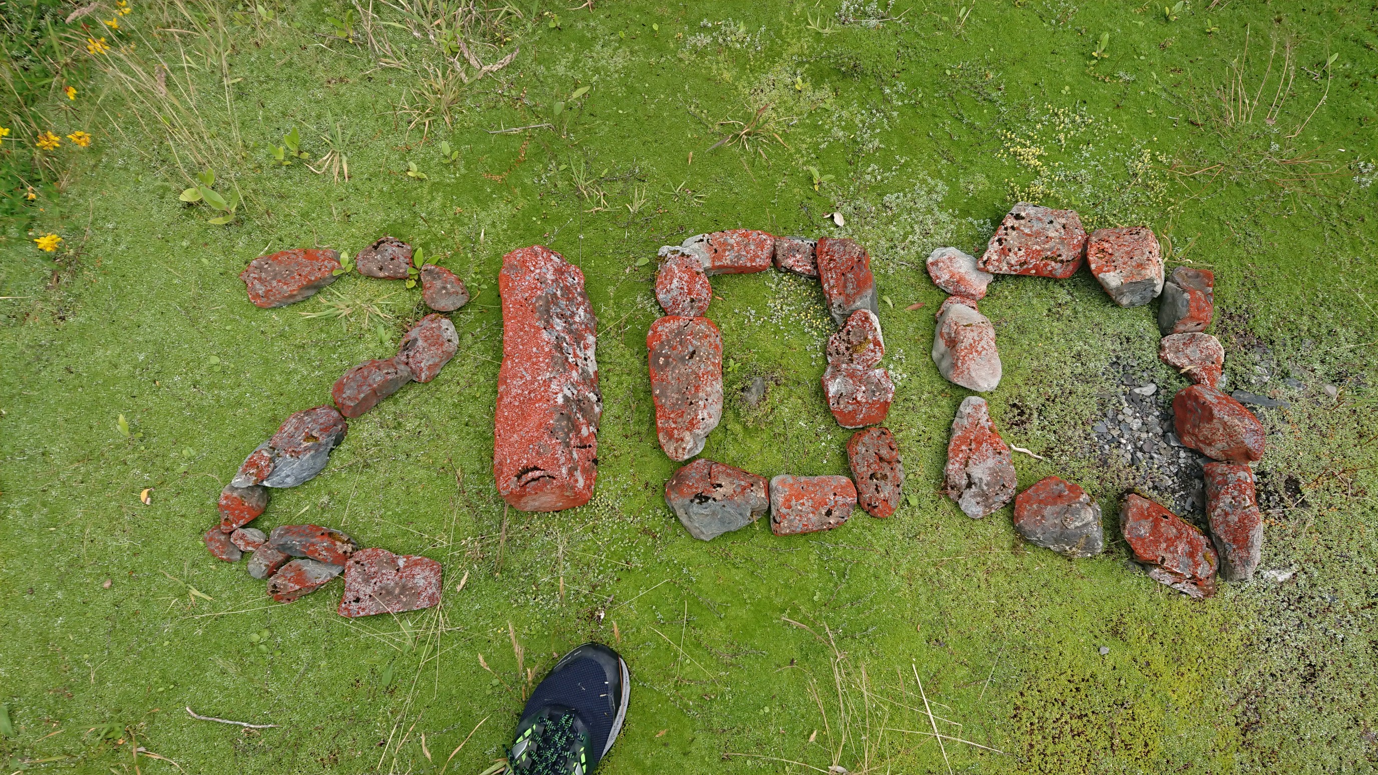
I make it to Locke Stream Hut by 5pm, and decide to not continue to Kiwi Hut. The two girls show up at 6:30pm, and we have dinner together in the expansive hut. I’m get in my warm sleeping bag and read my book and pass out by 9:30pm.
Day 82: Friday January 25th, 26.2mi/42.2km
Locke Stream Hut (2117.6/510m) to The Sanctuary Arthur’s Pass, via Morrison Footbridge (2139.5/751m) + 20.3km road
I have an early start at 6am, and I’m hiking at 6:40am. It’s a nice trail for awhile, and I easily ford the first crossing of the Taramakau River.
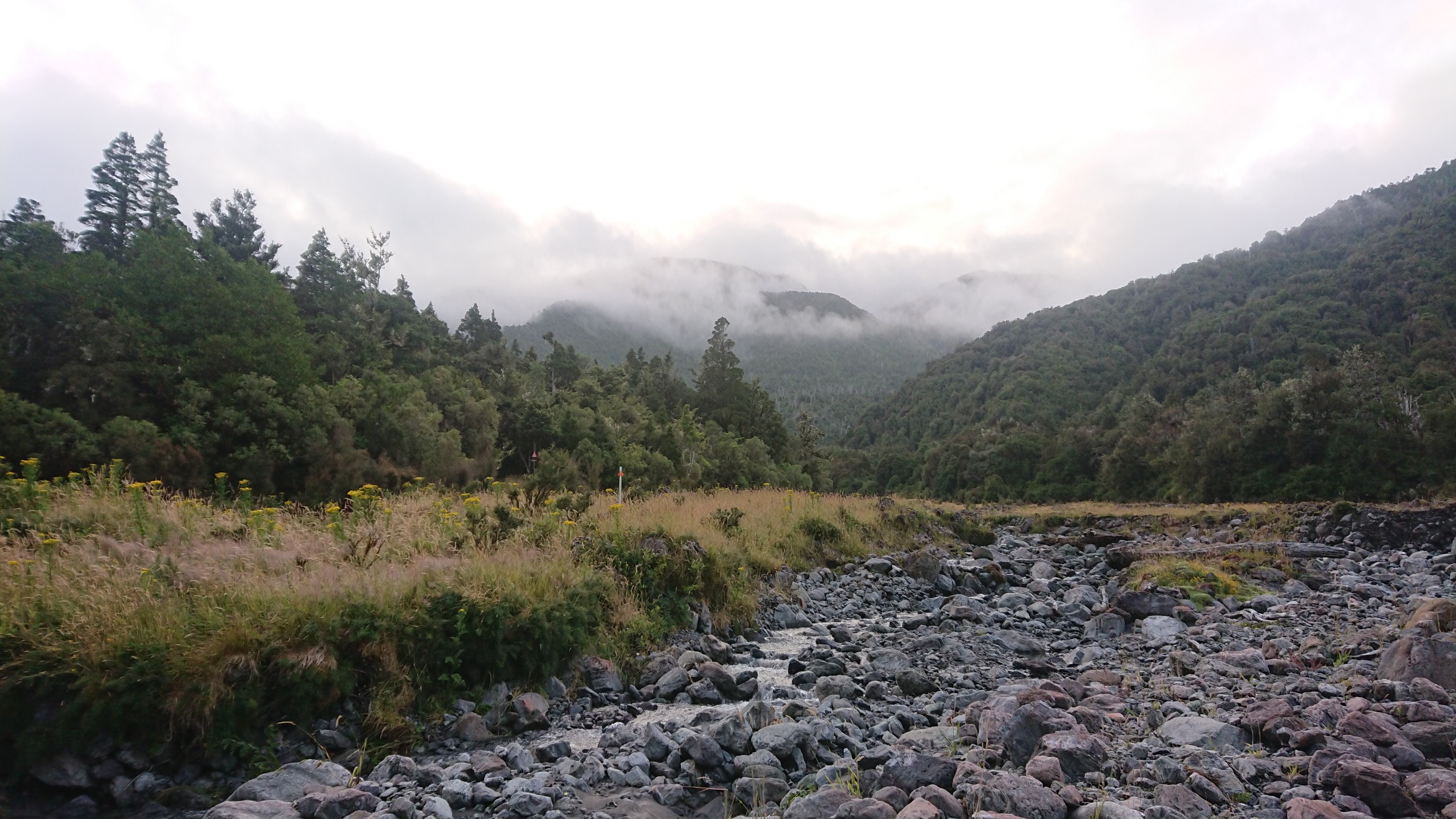
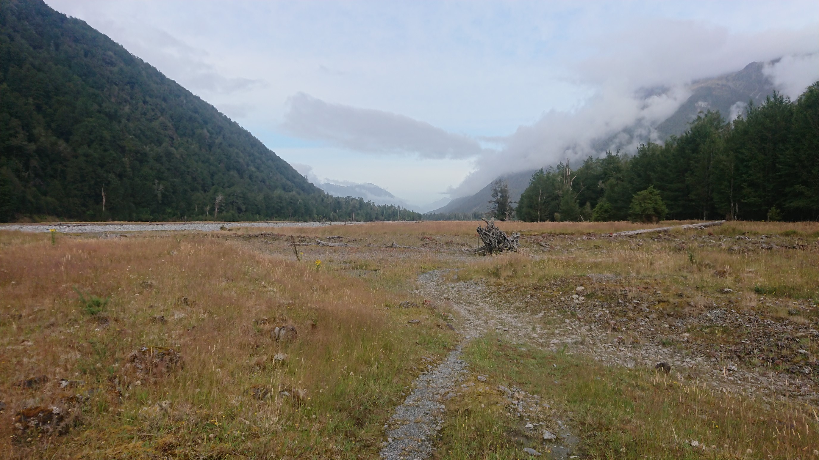
The rest of the morning is nice walking on a jeep track.
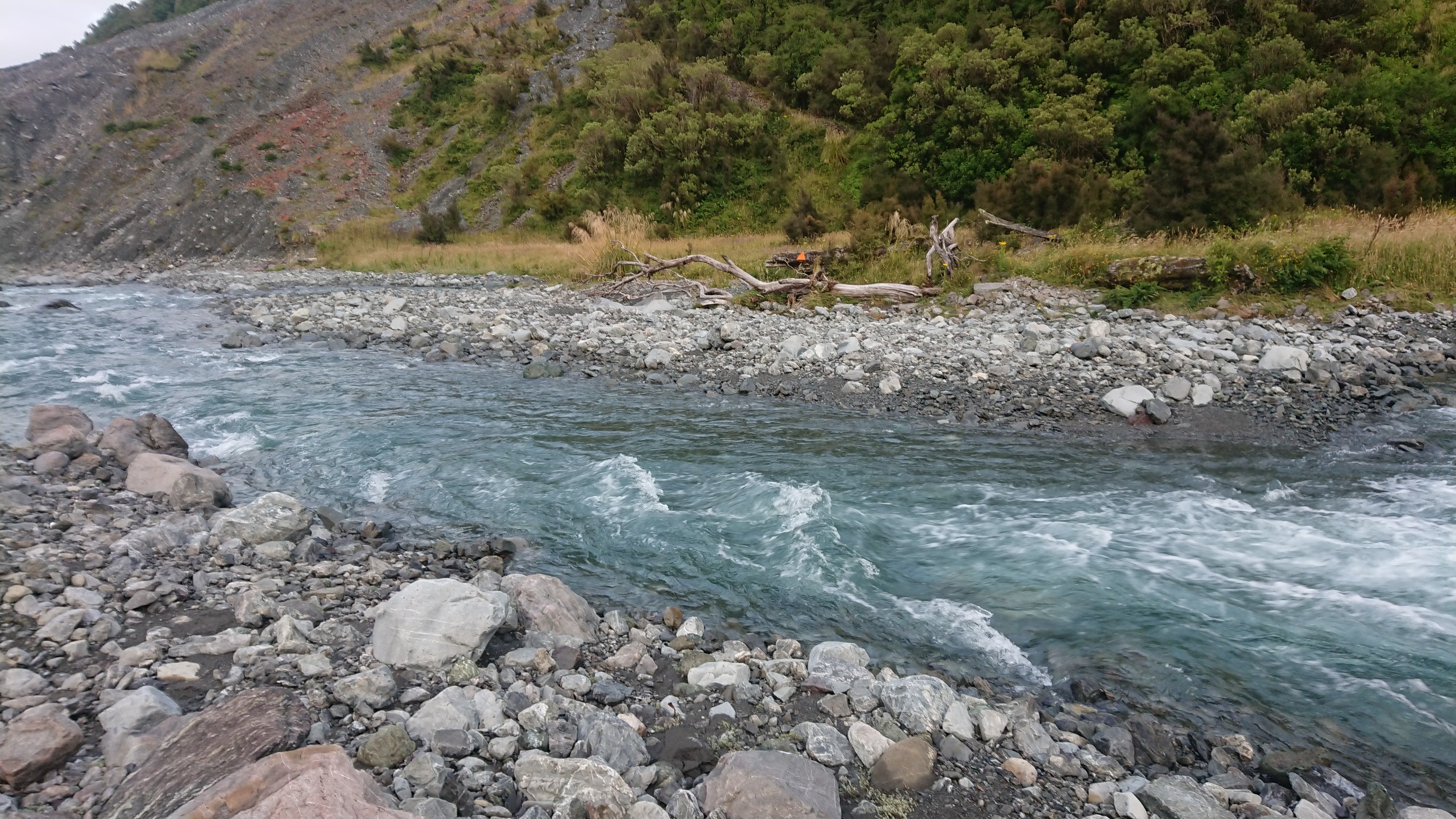
The 2nd and final river crossing is a bit more…exciting! I look around for the best crossing spot, eventually deciding to go upstream of the confluence of the Otehake & Taramakau Rivers, and cross each one separately. The Otehake feels far more difficult, with fast muddy water. I’m wet up to my waist, but not feeling cold with all the adrenaline. I walk in the riverbed for awhile, which is easy.
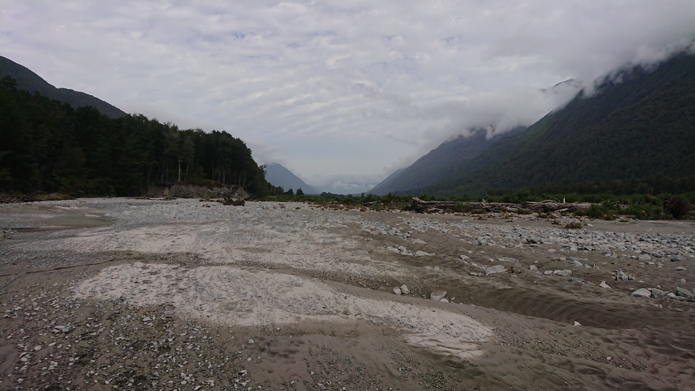
Looking back up the Taramakau River:
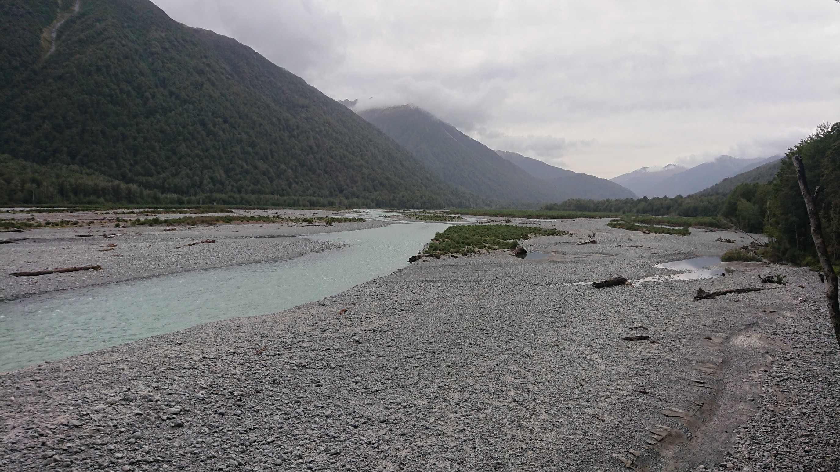
The trail resumes on a jeep road, and I cruise to the junction to the Morrison Bridge.
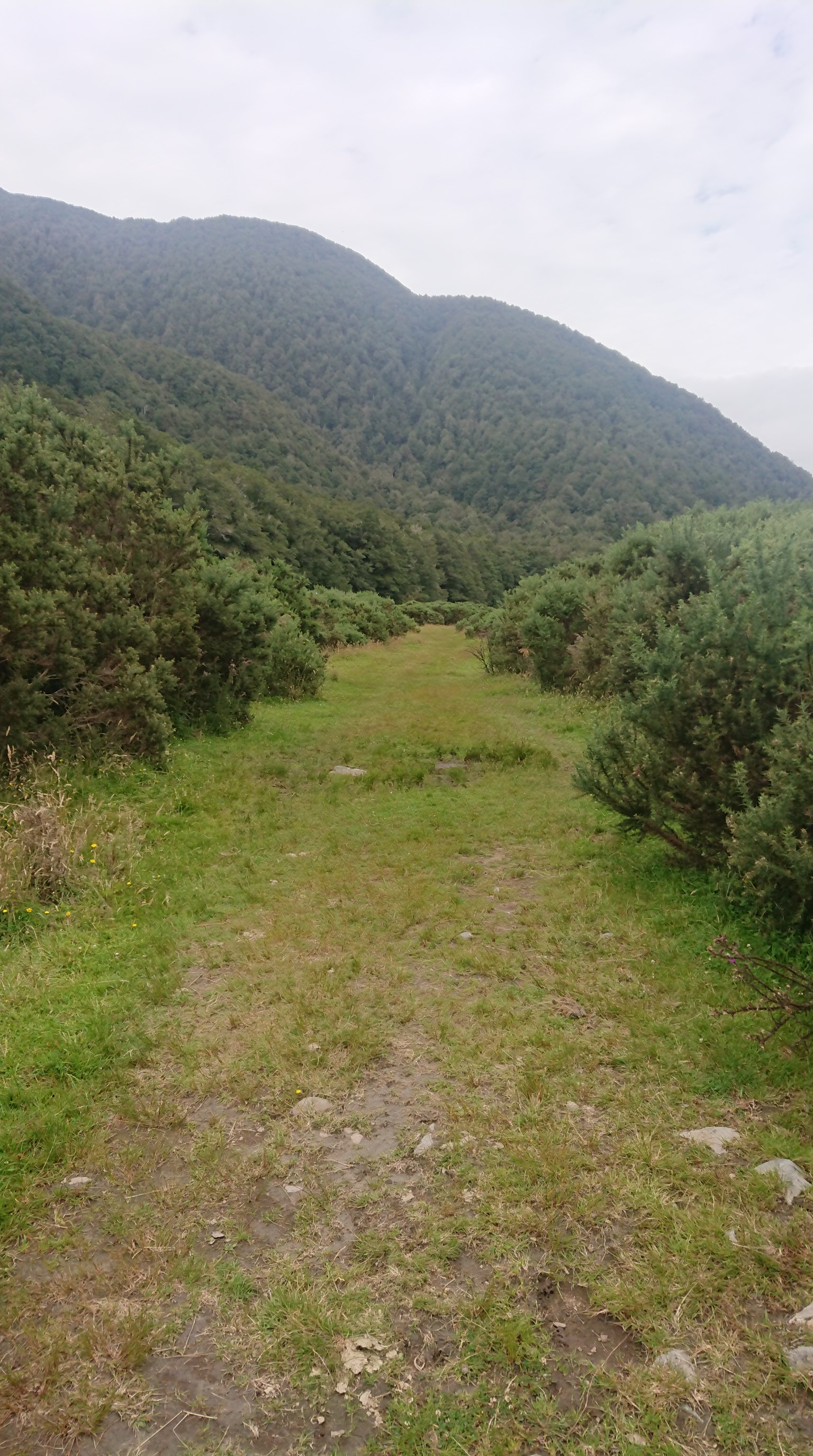
The last 4km to the bridge is a rough trail, so I walk in the dry streambed of the Otira River. I get to the Morrison Bridge at 1:30pm, taking a break to eat some snacks and clean off my shoes.
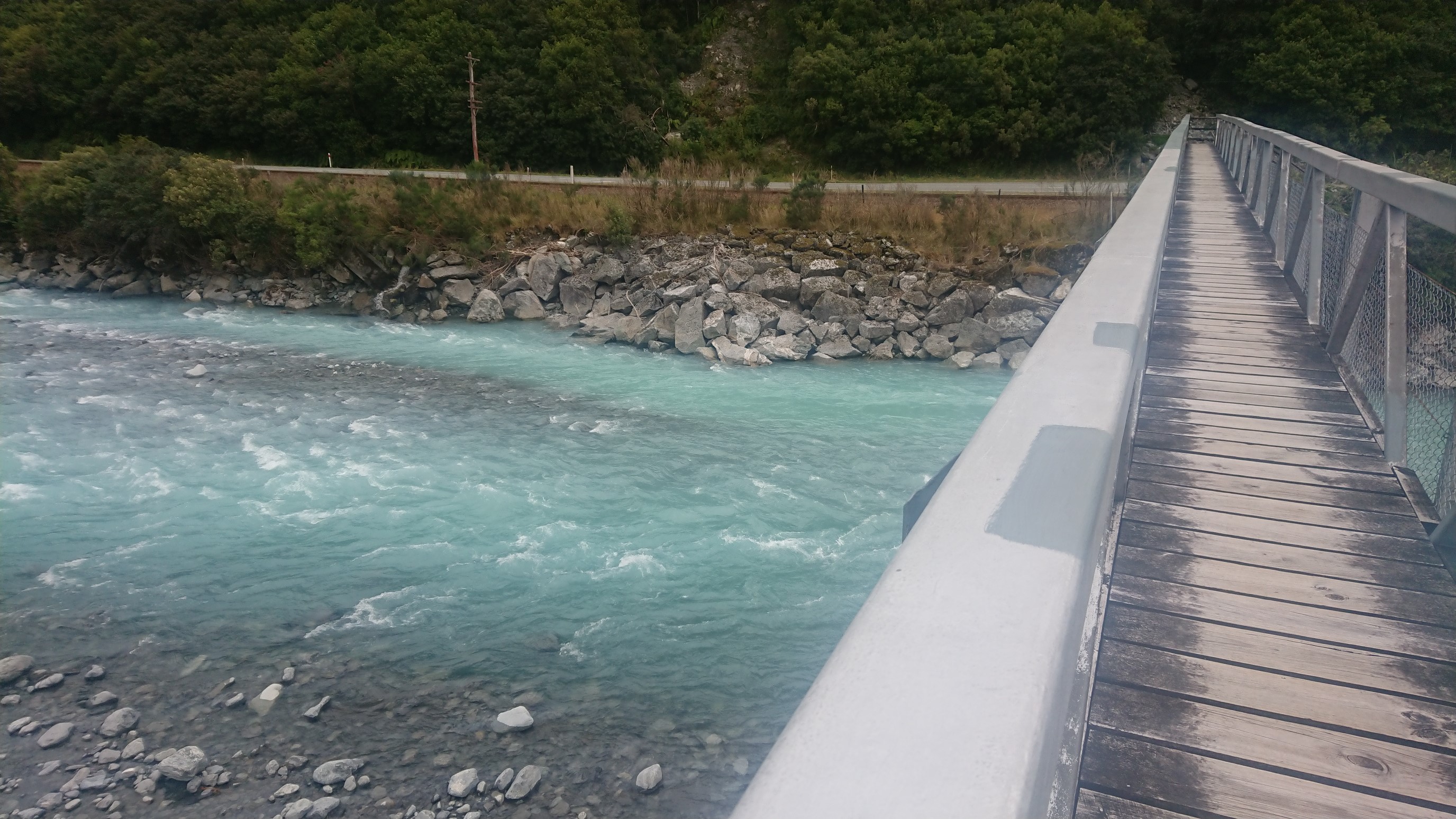
From here, the TA goes up the Deception streambed to a pass, then comes out at Arthur’s Pass Village.
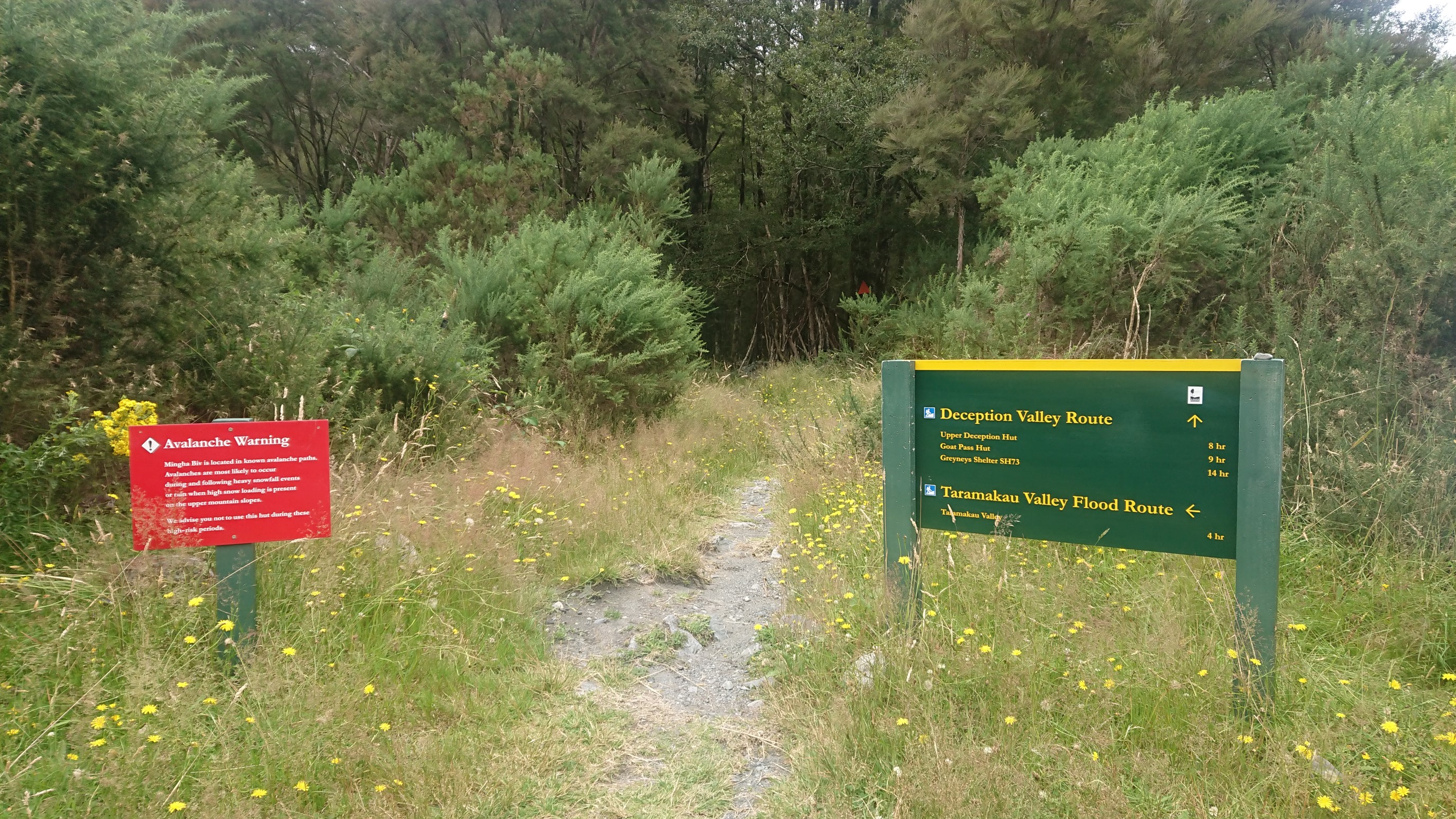
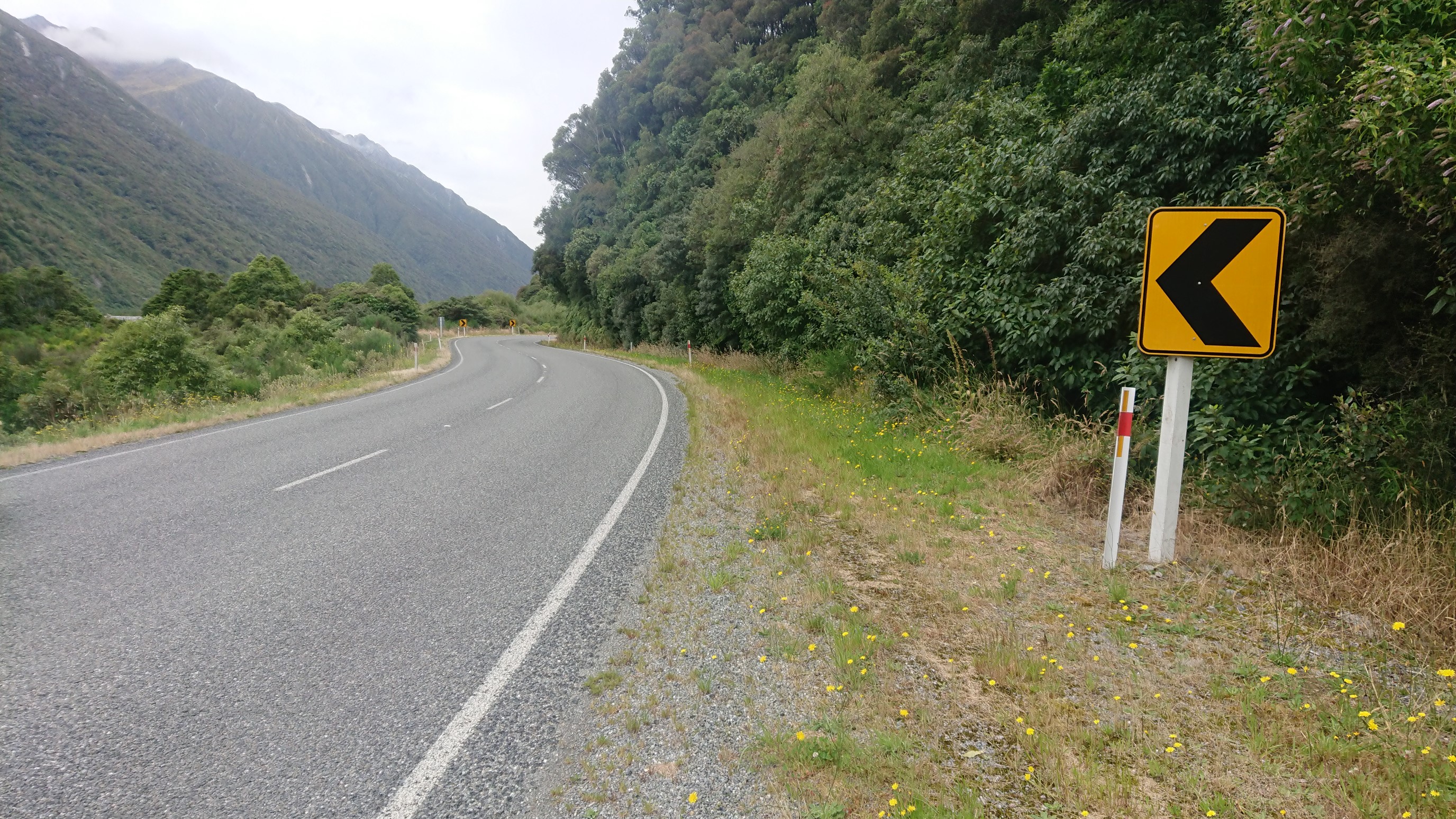
The water levels are far too high to follow that route, so instead I walk 4 hours on the road to Arthur’s Pass Village.
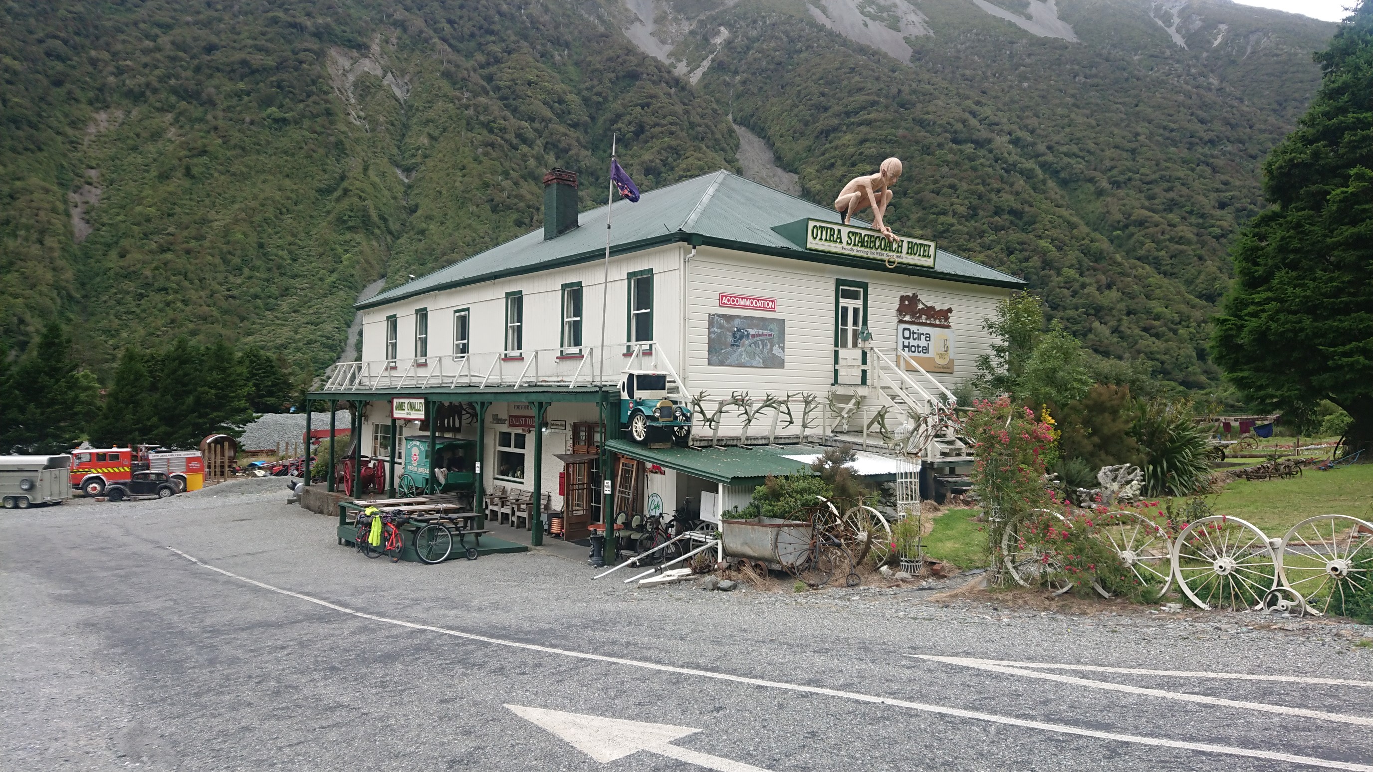
I stop at a quirky cafe/hotel along the way, and buy some hot food.
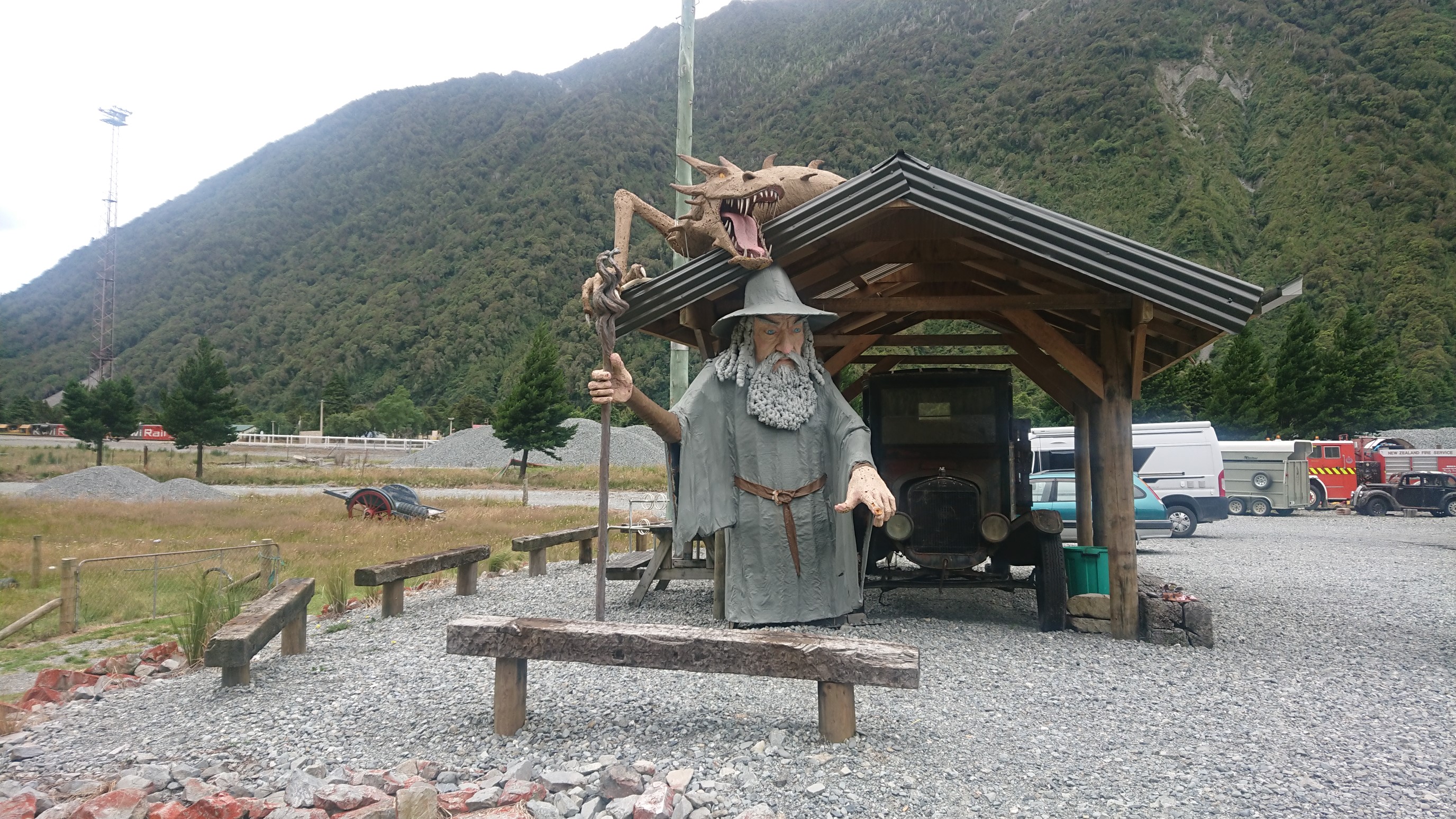
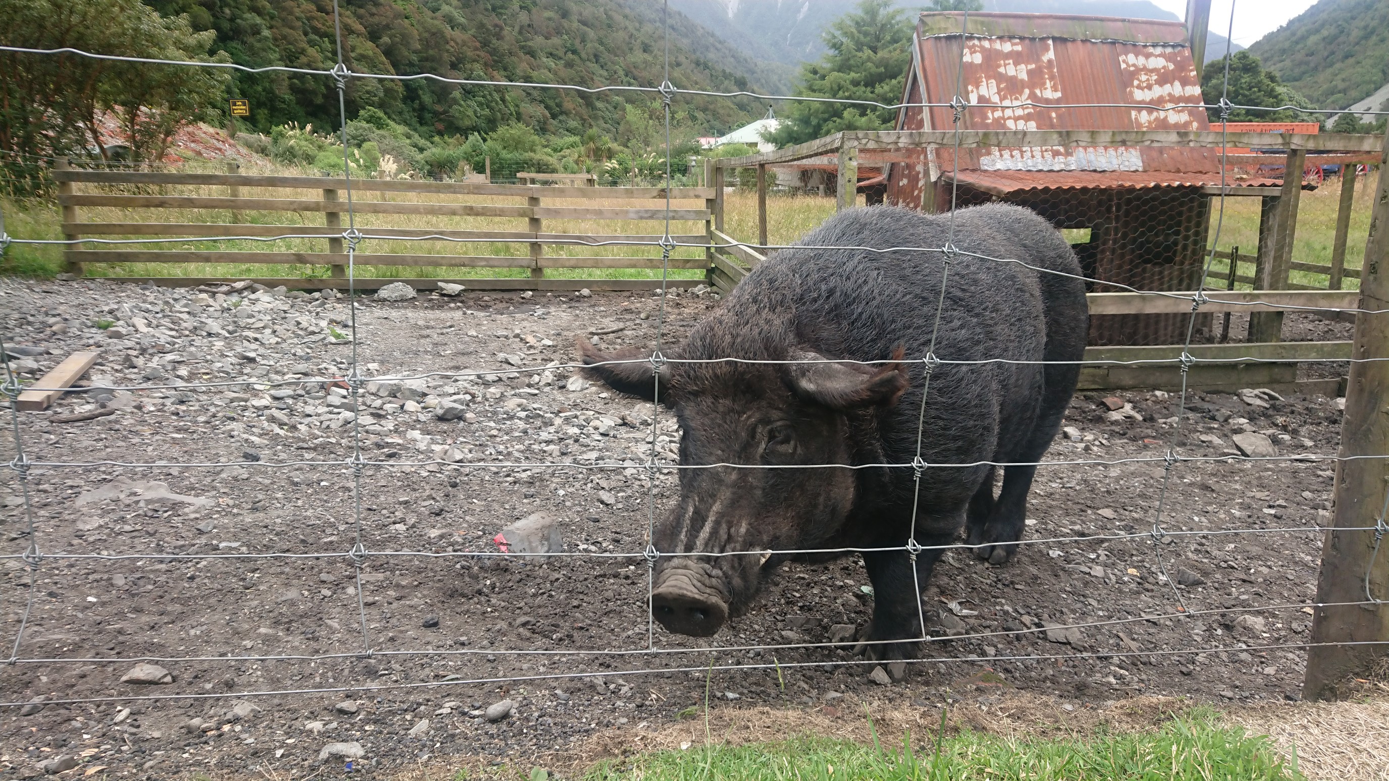
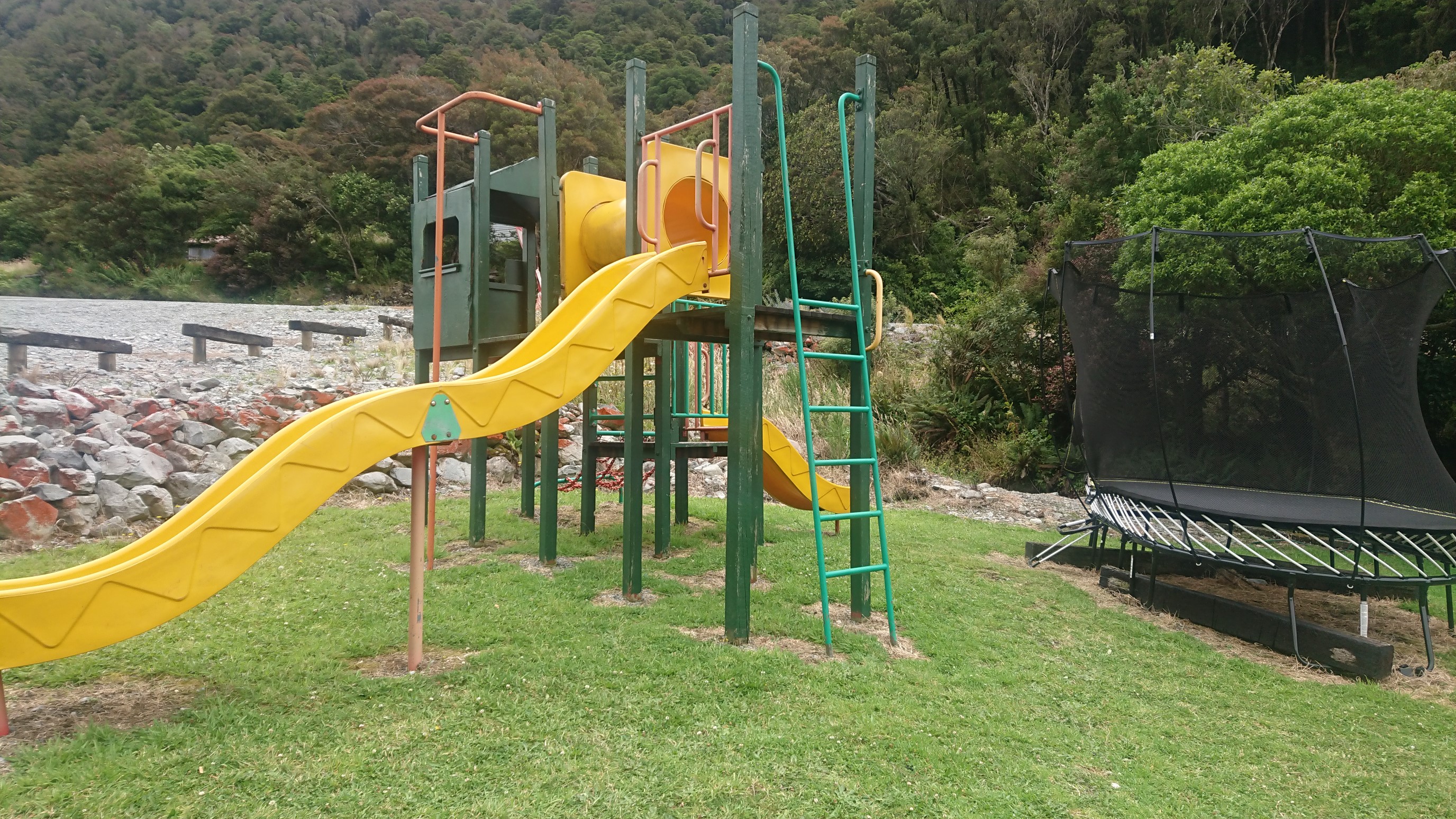
For Ruben & Amanda:
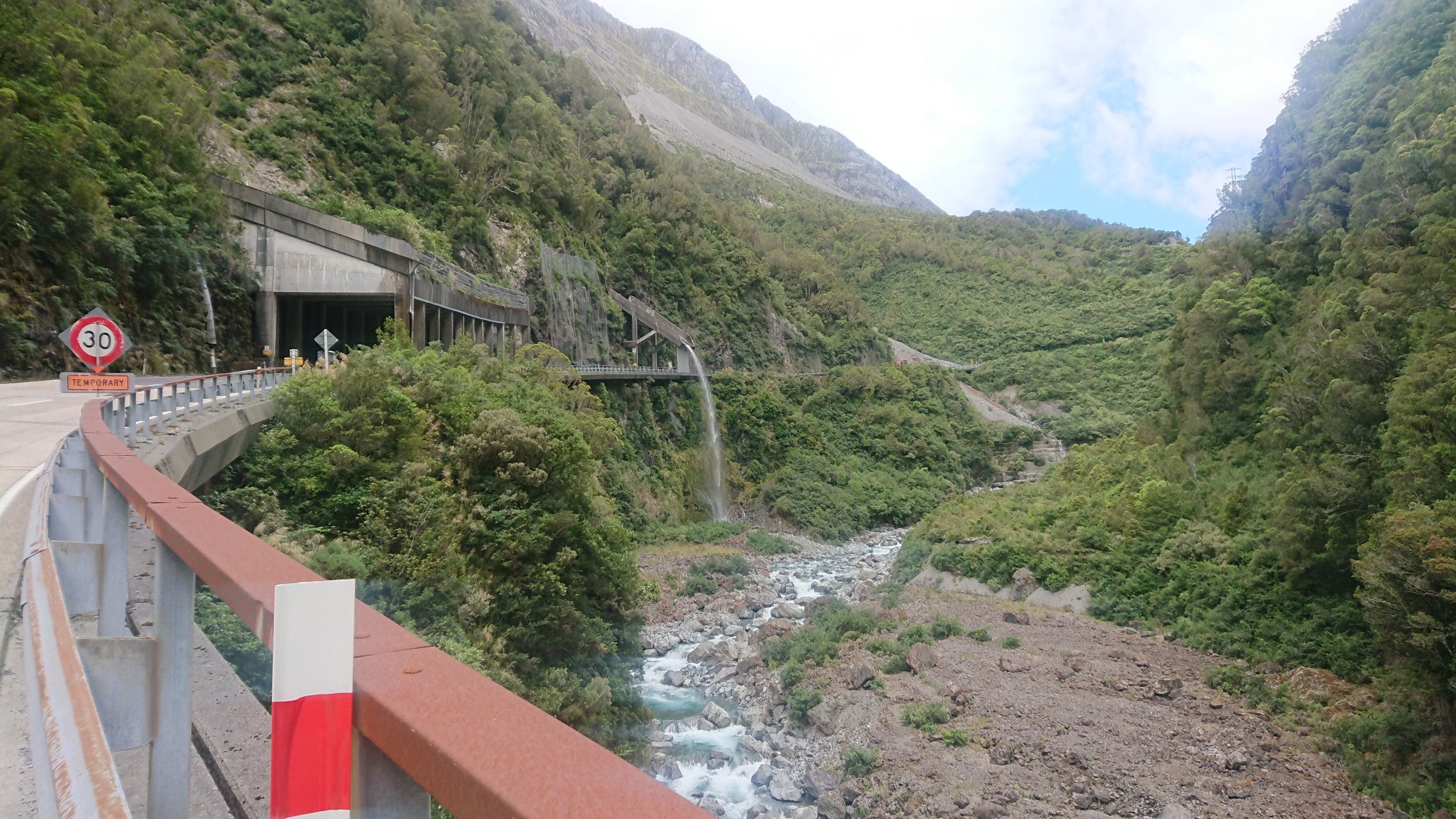
The Arthur’s Pass road must’ve been a feat of engineering to build, the terrain is really rough!
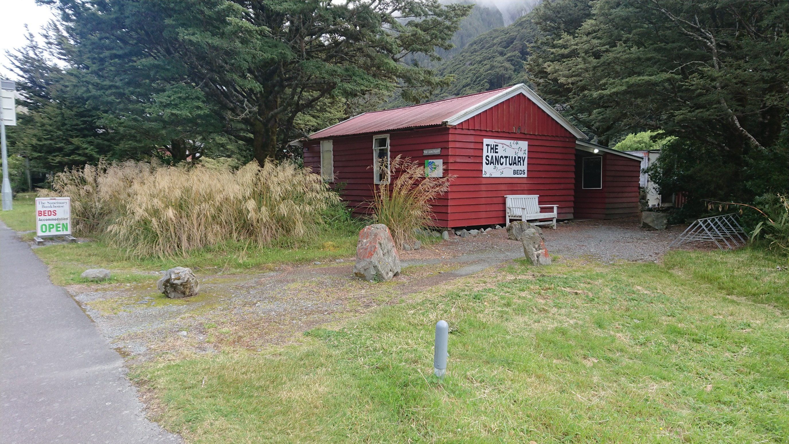
I arrive at “The Sanctuary” at 5:30pm, it’s a nice cabin that the owners have setup for TA hikers to use for a small fee.
I go inside, and Amanda & Ruben are there! I’ve caught up to them! I have a dinner of backpacking food at 7pm, have a shower, and then spend the rest of the night catching up with my friends. I think I finally get to bed at 11pm.
Love the ‘red rocks’ – So unique!
Beautiful photos