Day 86: Tuesday January 29th, 15.6mi/25.1km
Lake Coleridge Village (2235.0/375m) to Clent Hills Saddle (2260.1/1480m)
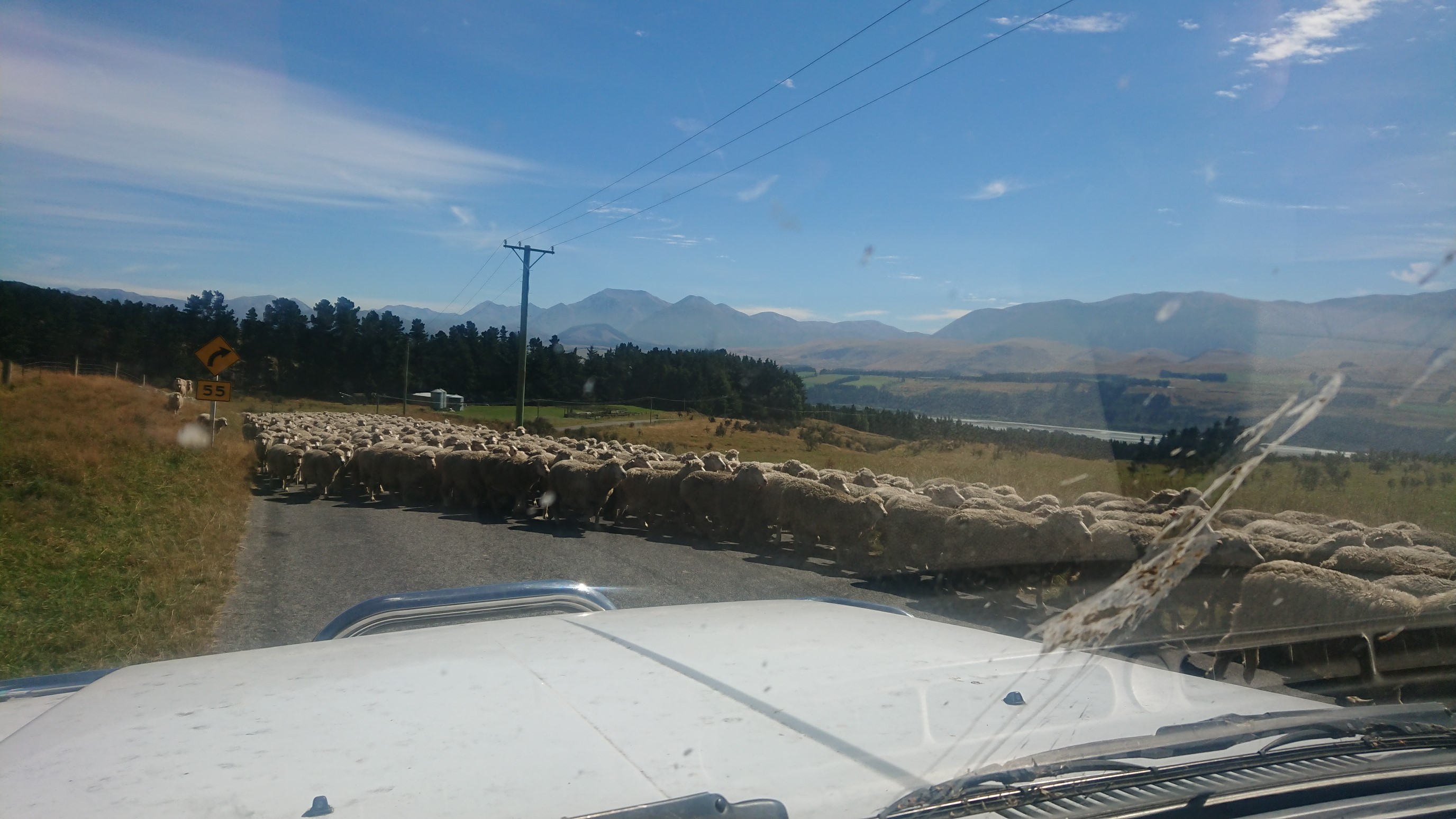
Stu is not a morning person, so we don’t get up until 7:30am, and he isn’t awake until after 8am. Ugh…late day. After a nice breakfast, he is moving slowly and is very chatty. We finally leave at 9:30am, and get to town at 10:15am. I do my resupply in 18 minutes, and we are back in the car at 10:45am. A few more delays (gas, coffee), and then we are driving up a slow dirt road to the trailhead. It’s even slower with the occasional sheep blockade!
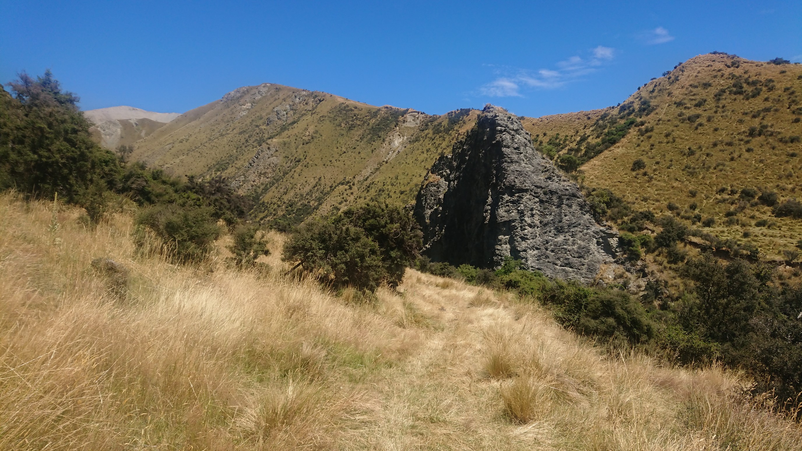
Stu drops us off at the trailhead at noon, and we finally hit the trail at 12:15pm. We are all a little frustrated by the slow pace of the day, but it’s nice to be hiking again. I don’t even notice that it’s hot, as we climb 500m up to Turton’s saddle. Looking ahead, towards the saddle:
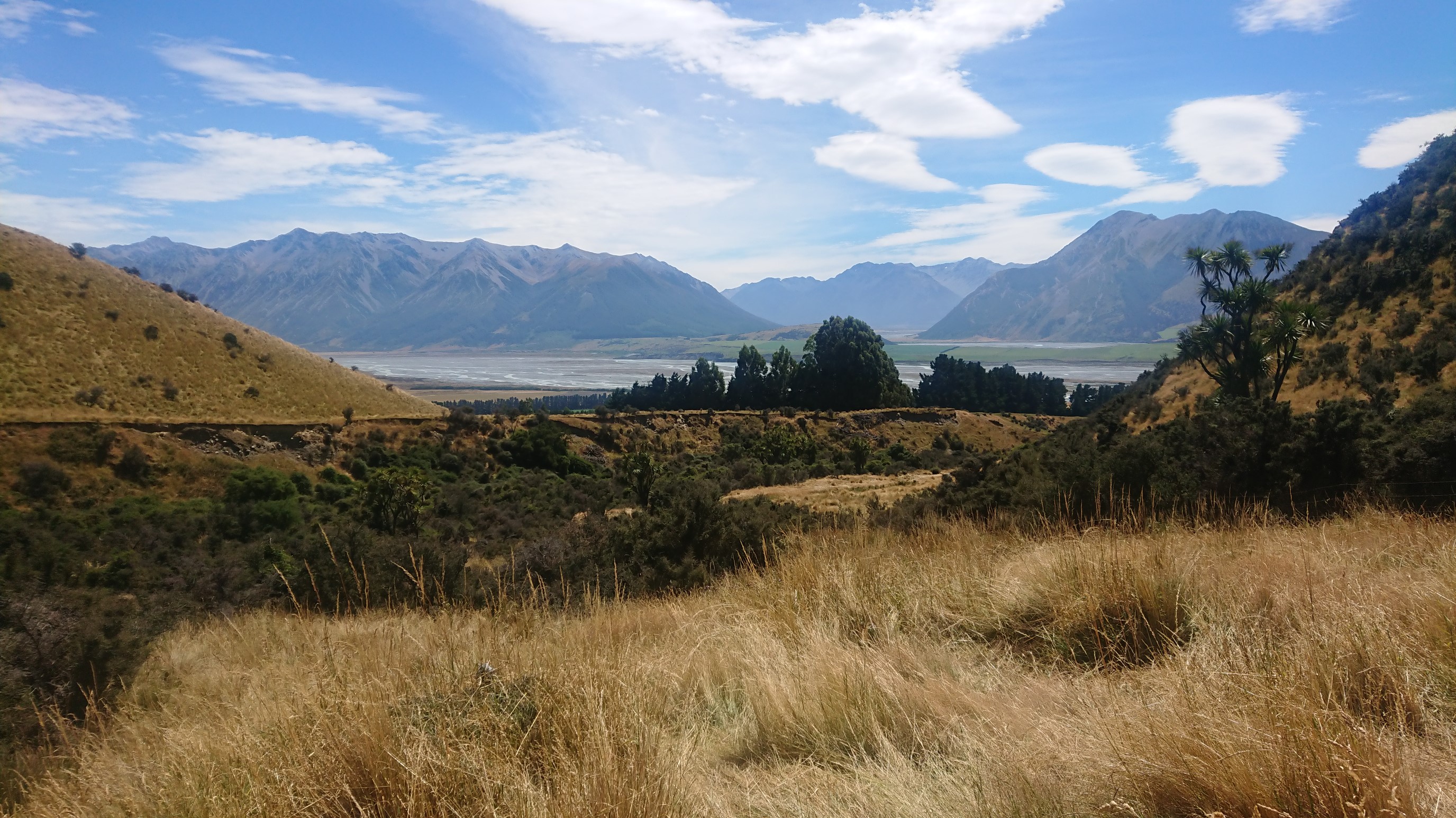
Looking behind, at the Rakaia River:
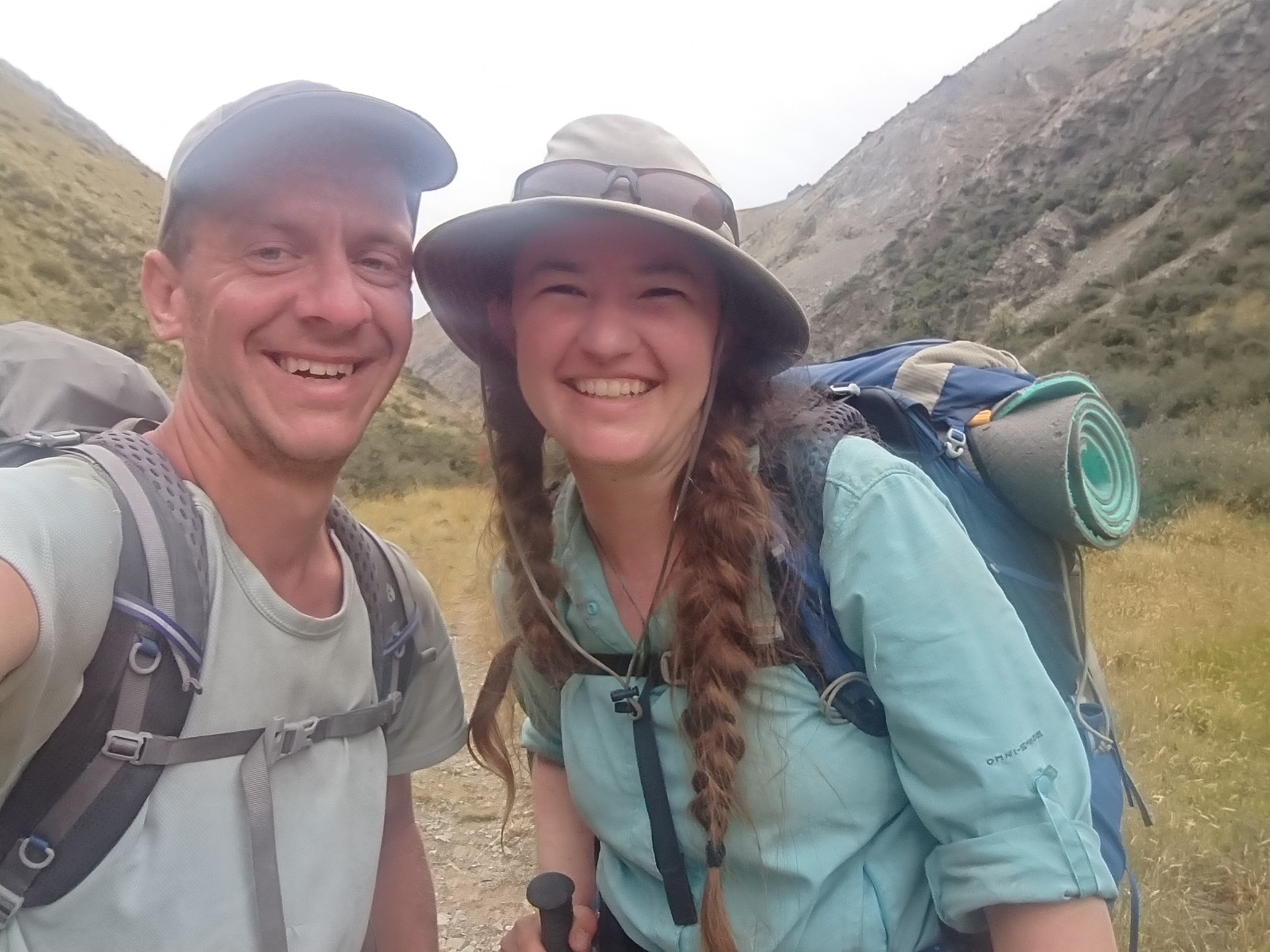
We pass another Southbound hiker, he is only doing South Island. We take a short break at the top of the saddle, but there isn’t any shade so we don’t stay long. We continue down the backside, stopping briefly at the A-frame Hut, and again at Comyns Hut for snack breaks. After Comyns Hut, the trail leaves Turton’s Stream, and climbs up the Hakatere Stream. It’s a very narrow valley, so most of the time the trail is actually IN the stream. Just before 6pm, I see some northbound hikers coming our way. They look familiar! Dino DNA and Etch-a-Sketch, whom I met on the PCT in 2015, are living here in Christchurch NZ, and are hiking the South Island! Amazing coincidence.
All of us still have much more hiking to do before dark, so we only chat for a minute. Amanda, Ruben and I continue walking up the streambed, and after 2.5 hours of wet feet, we finally leave the stream. We hike thru tussock for another hour, arriving to our intended camp spot at 8pm. The view from the top of Clent Saddle (el. 1480m):
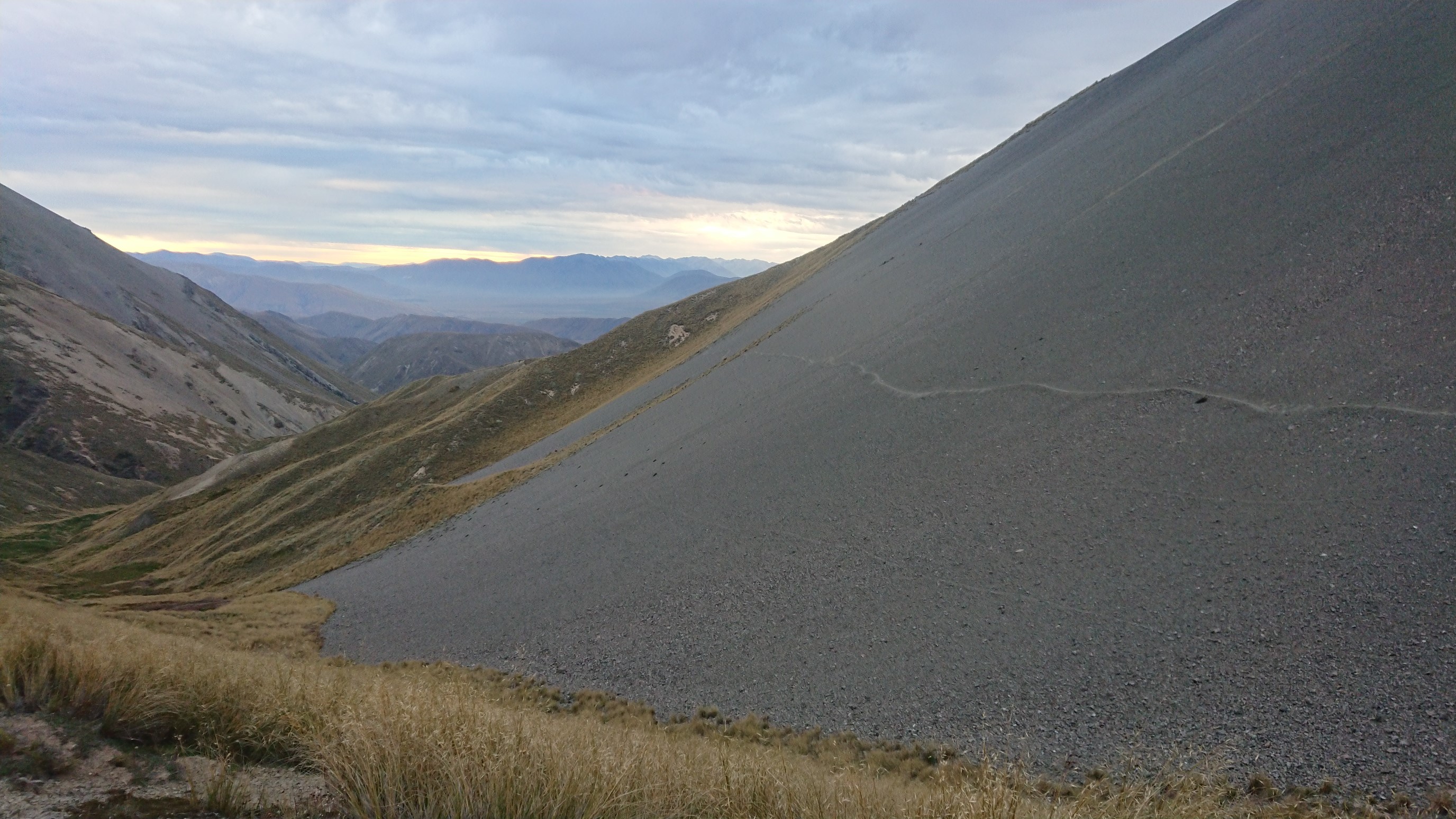
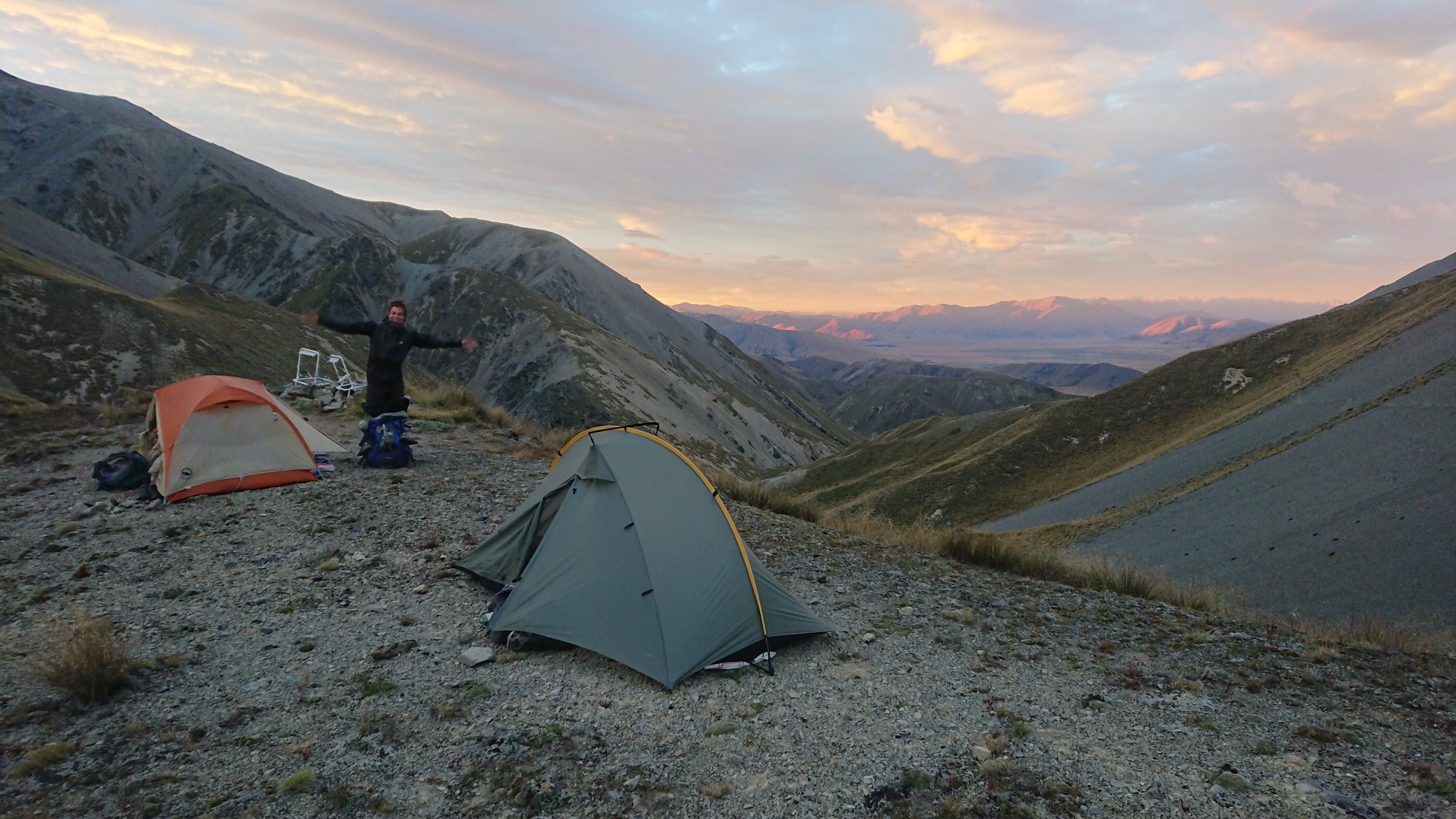
We quickly set up our tents and make dinner, since the sun has already set. I fall asleep quickly in my warm tent, in such a quiet peaceful spot.
Day 87: Wednesday January 30th, 21.3mi/34.3km
Clent Hills Saddle (2260.1/1480m) to Pond above Lake Clearwater (2294.4/885m)
It was a great night of sleep, and I get up in a dry (no dew!) tent at 6:30am, and hike out at 7am with Ruben and Amanda just 10 minutes behind me.
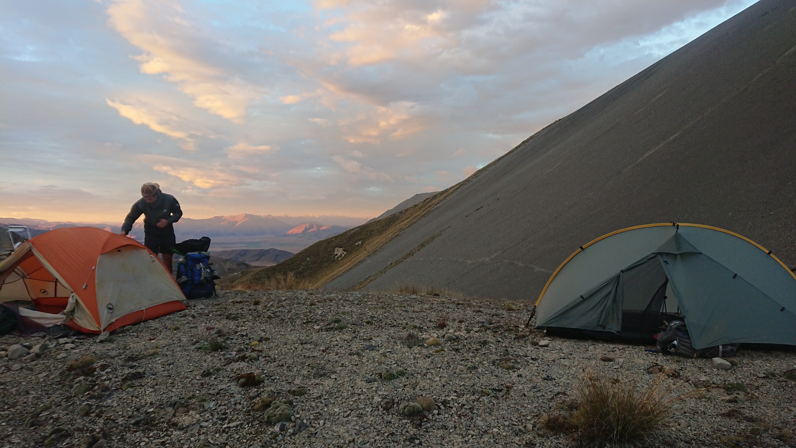
The scree trail is nice, but then the tussock trail makes a re-appearance…ugh.
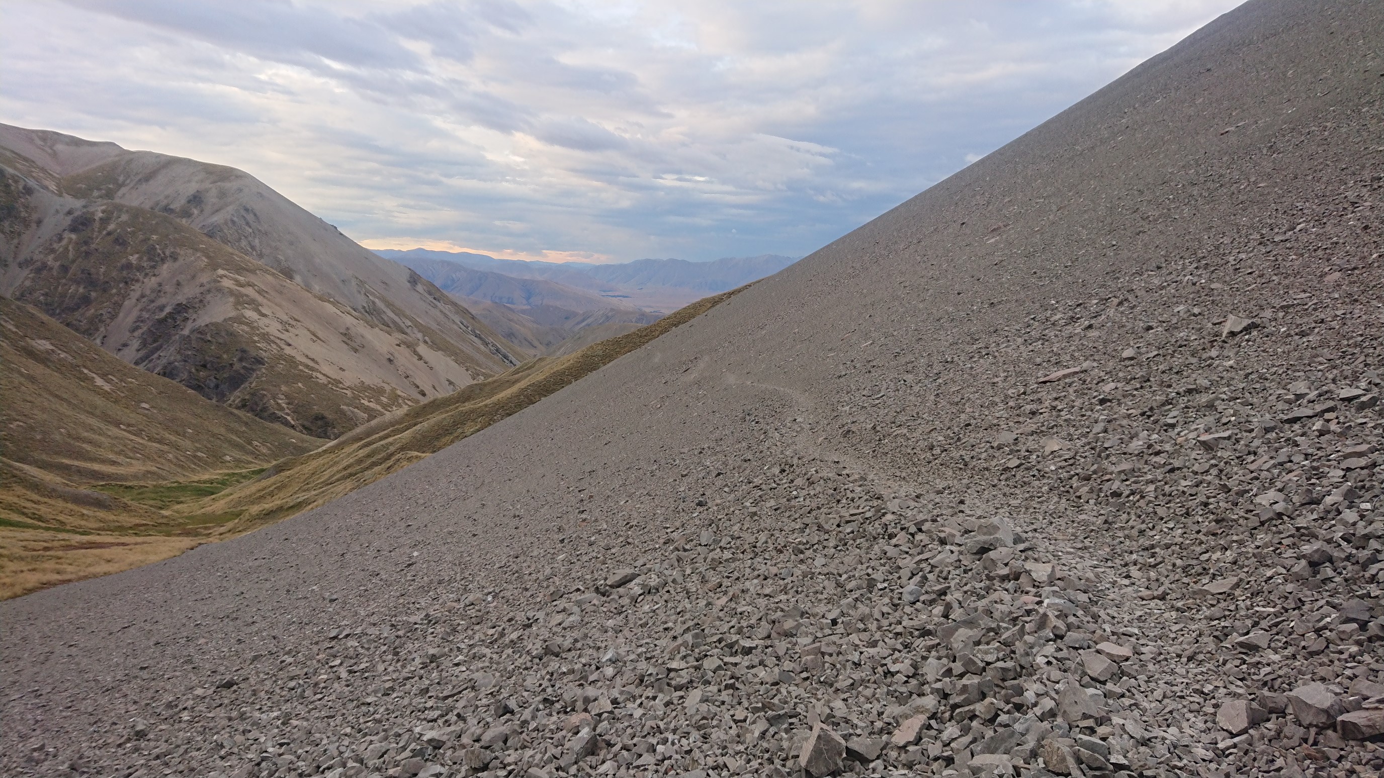
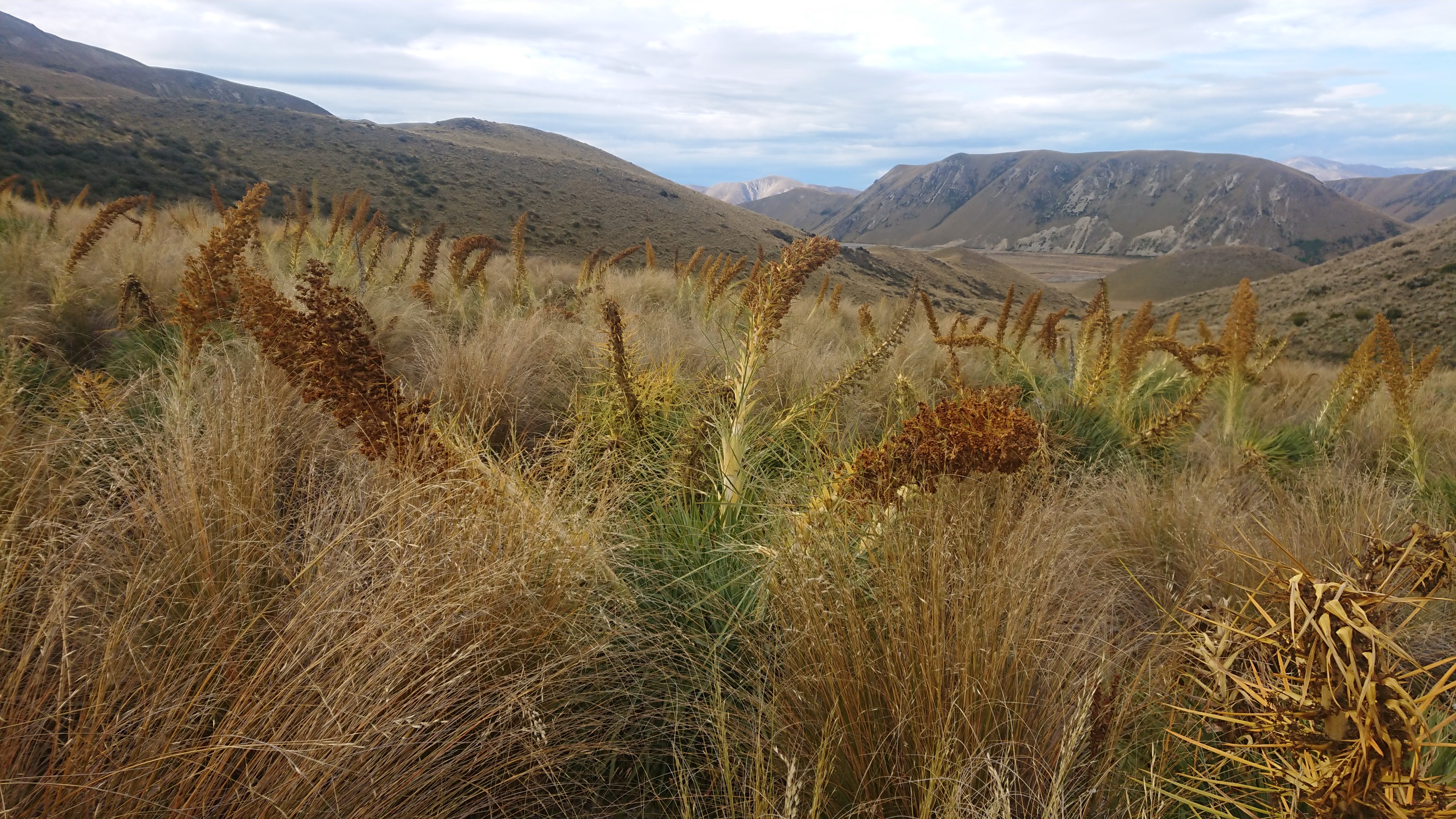
Soon I get to a junction, and wait 45 minutes for the other two. I wonder if they took a detour…they’re faster hikers than I am! The trail is a nice 4wd track until our lunch spot, which is a nice sunny flat area. It’s HOT again, and I setup my umbrella for shade at the gravel parking lot and eat lunch.
The rest of the day is a roadwalk on gravel roads in the heat, then 5km on another 4wd track with no shade.
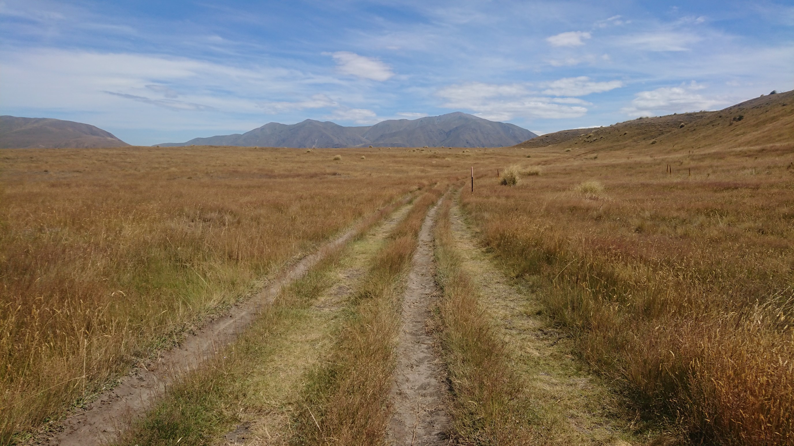
I stop at a creek for 30 minutes to cool down, and I linger long enough for the duo to catch up to me. We hike the last 5km to camp together, and arrive at 6pm. Our campsite is next to a pond, on a cliff overlooking Lake Clearwater.
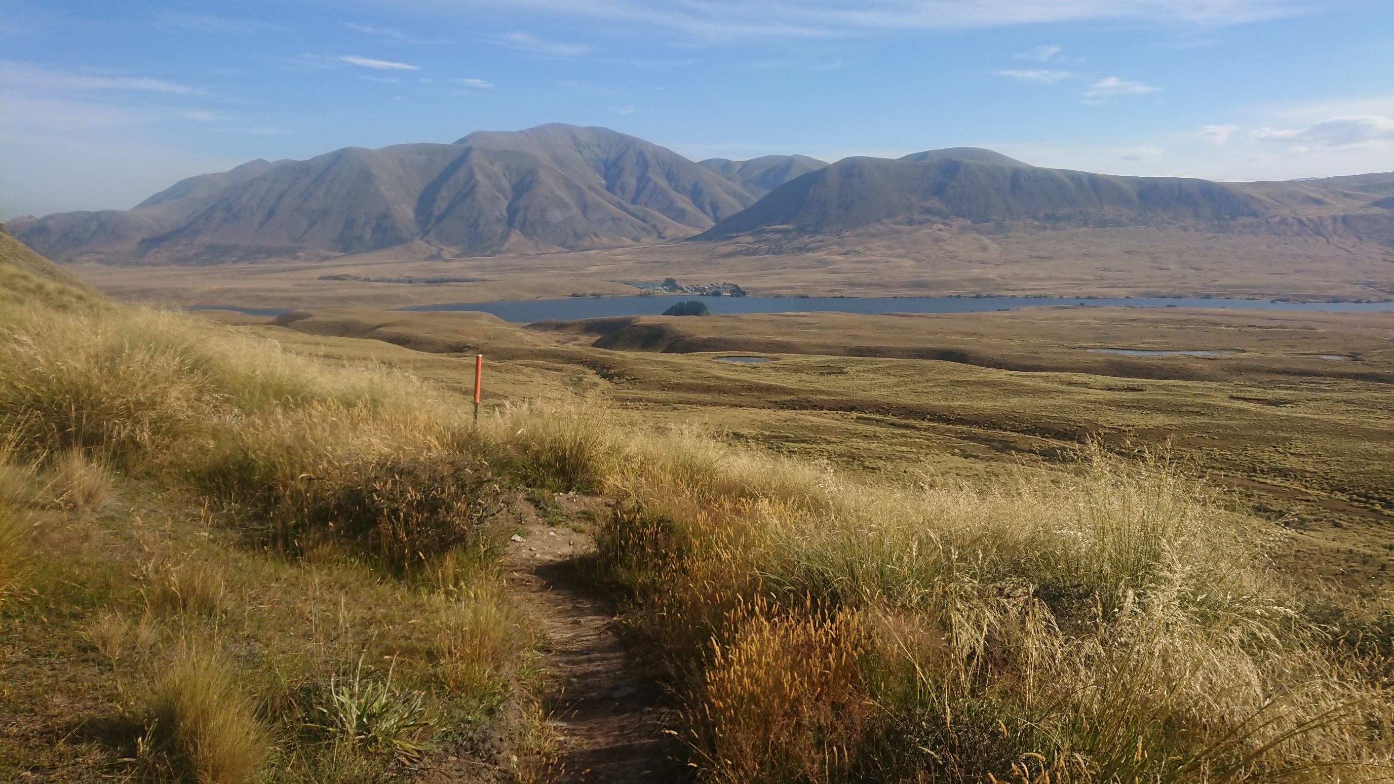
It’s an amazing sunset!
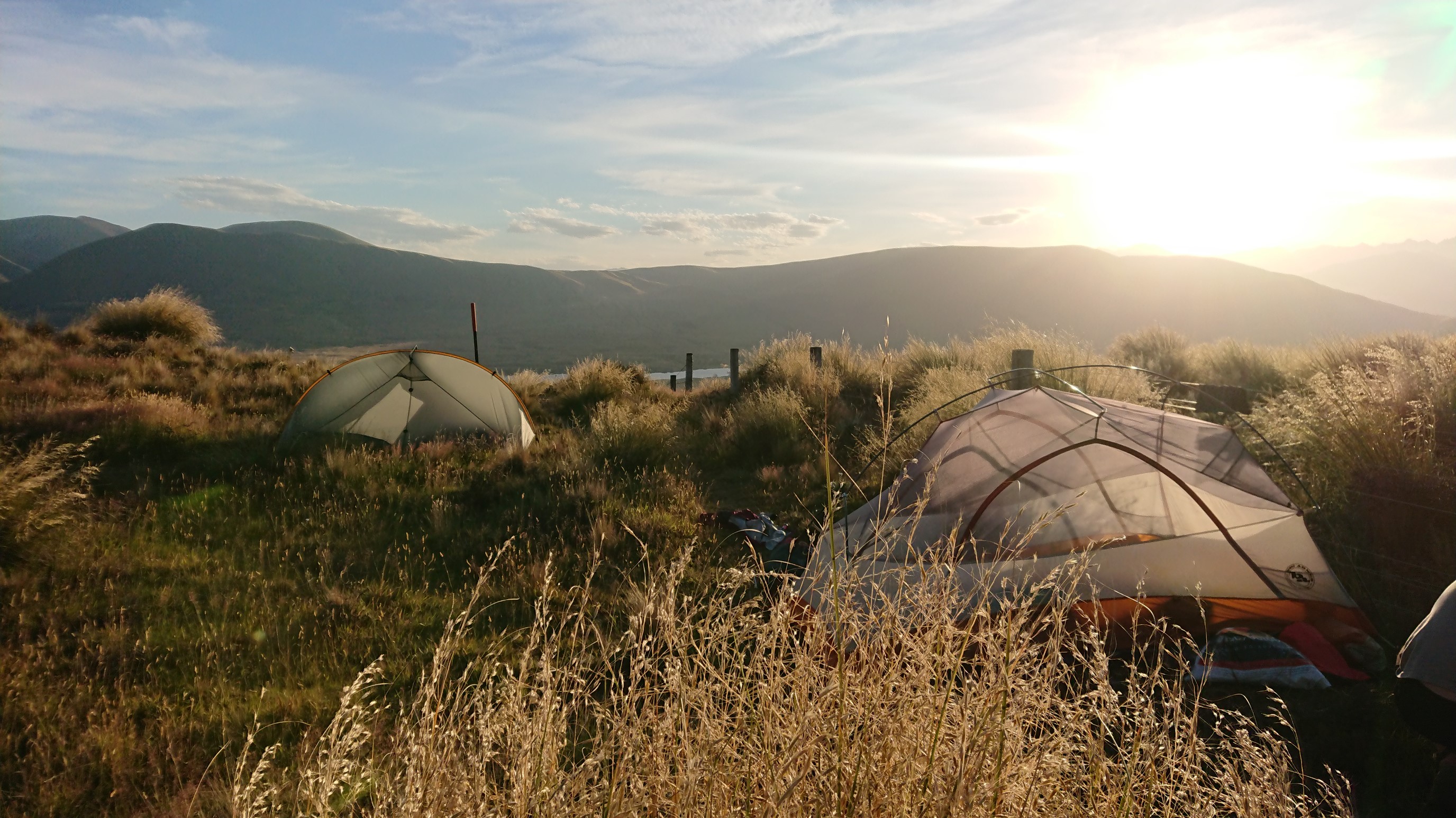
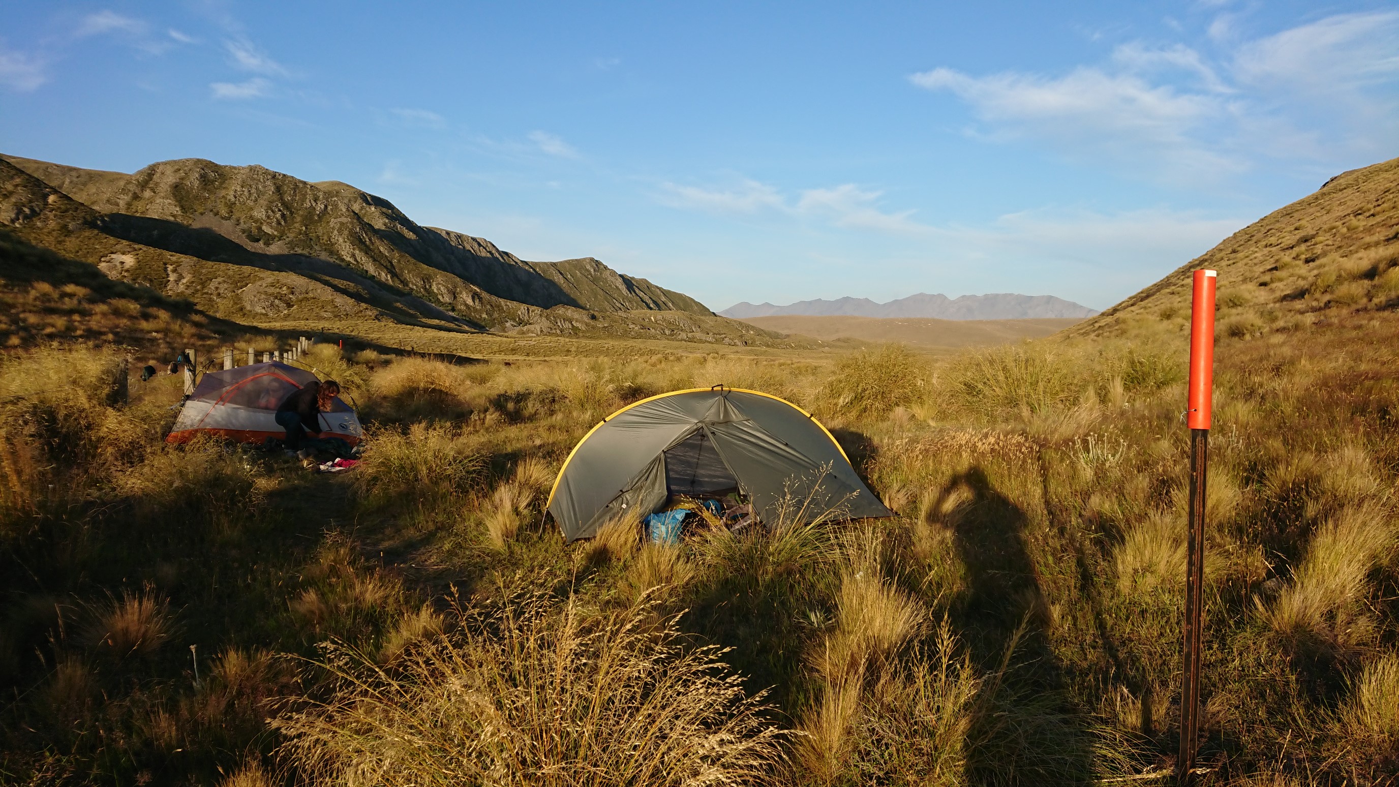
We cook dinner behind their large Big Agnes tent, which blocks the wind pretty well. After dinner, we discuss our strategy for crossing the Rangitata River (another TA hazard zone) tomorrow, and get to bed by 9:30pm.
Day 88: Thursday January 31st, 19.6mi/31.6km
Pond above Lake Clearwater (2294.4/885m) to Crooked Spur Hut (2314.1/1024m)
I wake up to the sound of Amanda and Ruben getting ready, and it’s 6:20am. I lay in bed for another 10 minutes, then eat breakfast inside my tent – the sandflies are back! We leave camp just after 7am, which makes me happy. I love my morning miles!
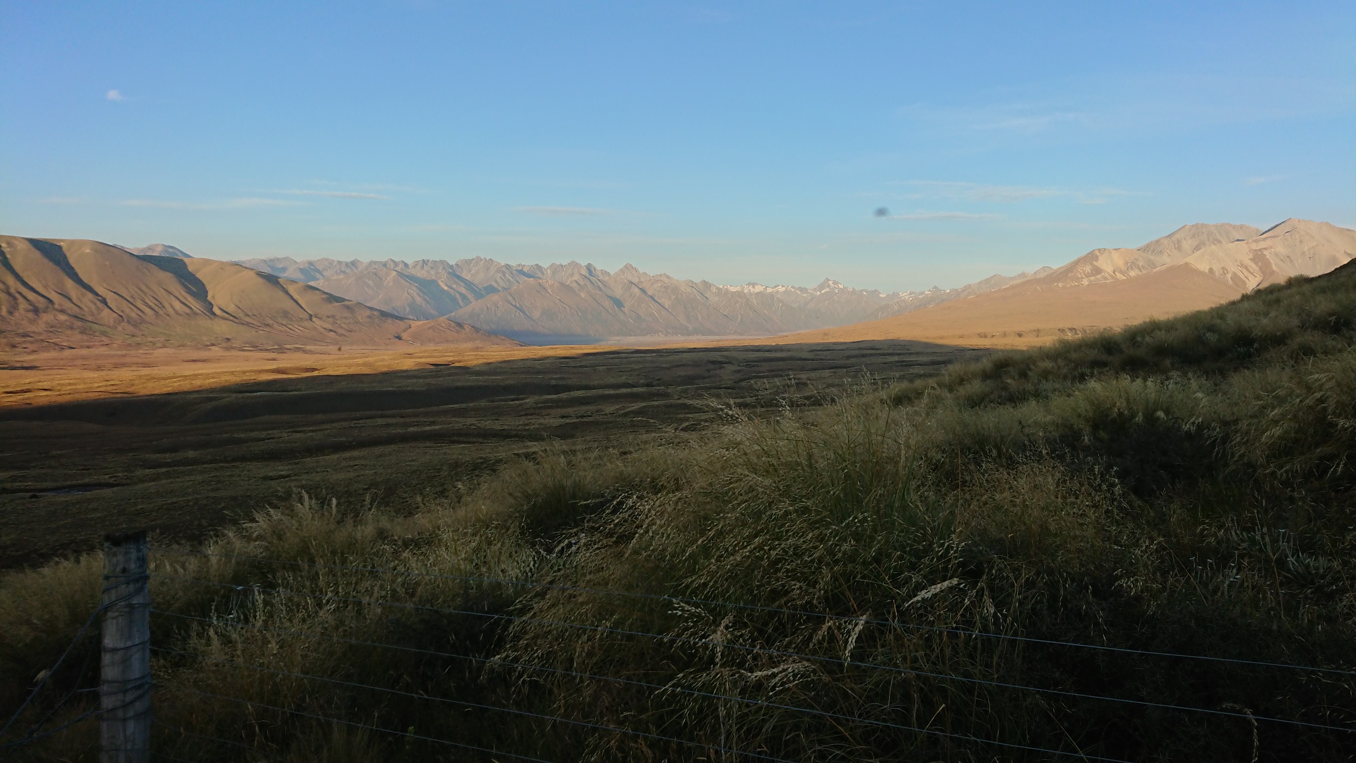
It’s an easy 10km walk on a nice trail thru fields, all the way to the Rangitata River.
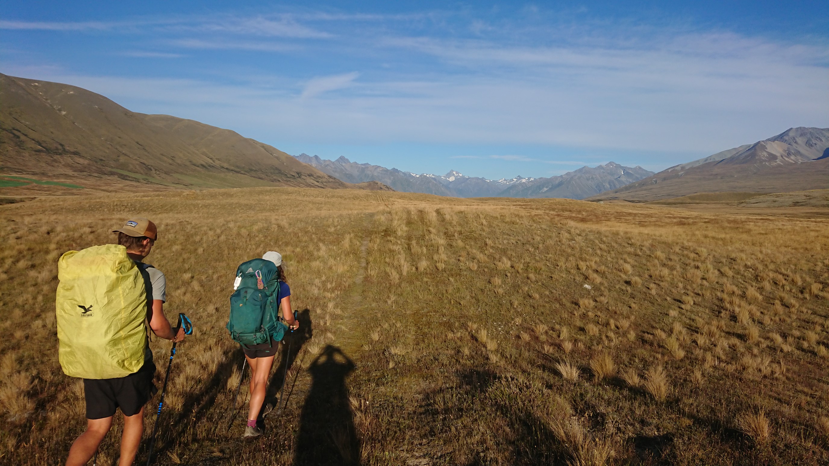
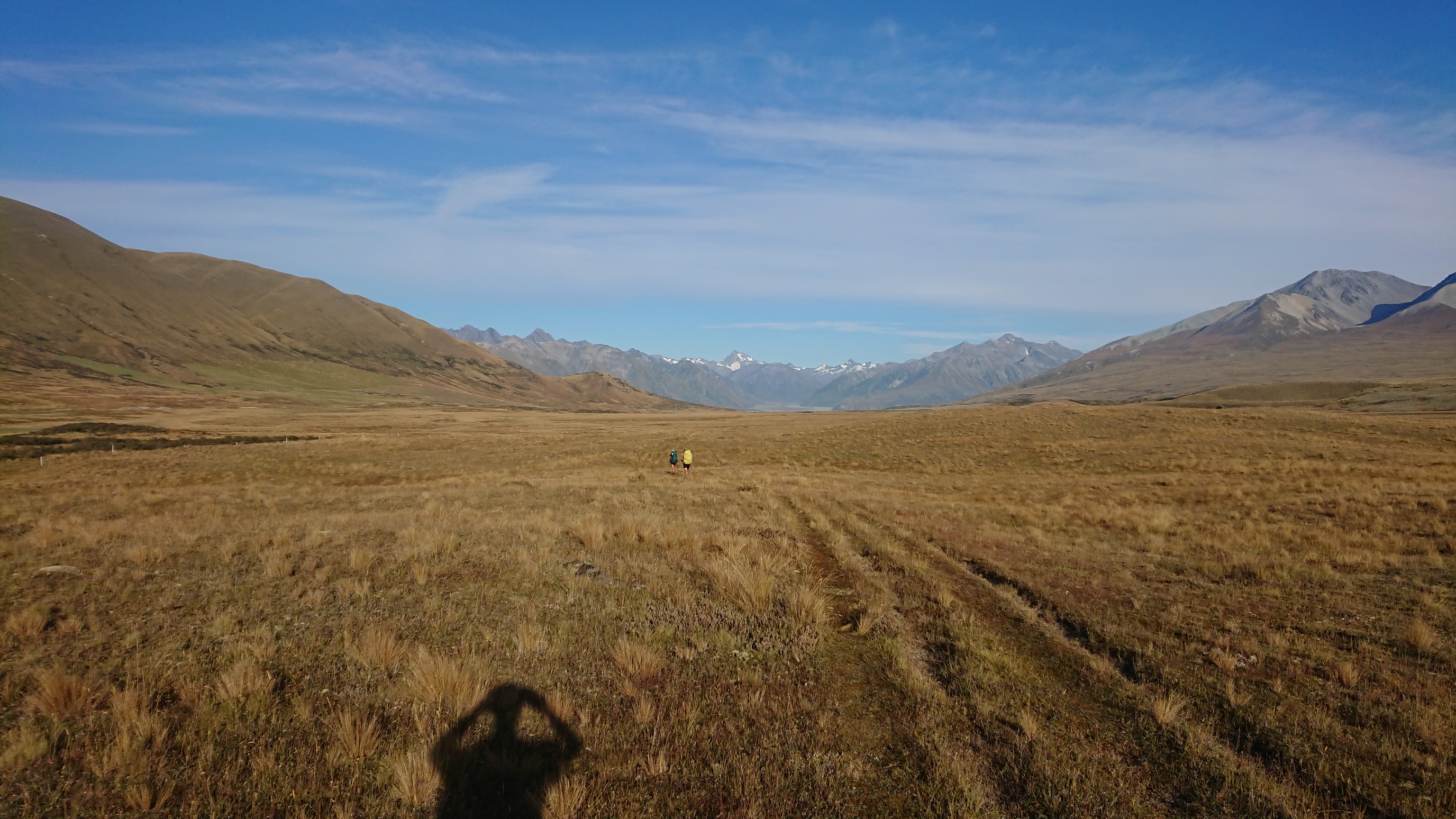
Looking down on the Potts River, a tributary to the Rangitata River in the distance.
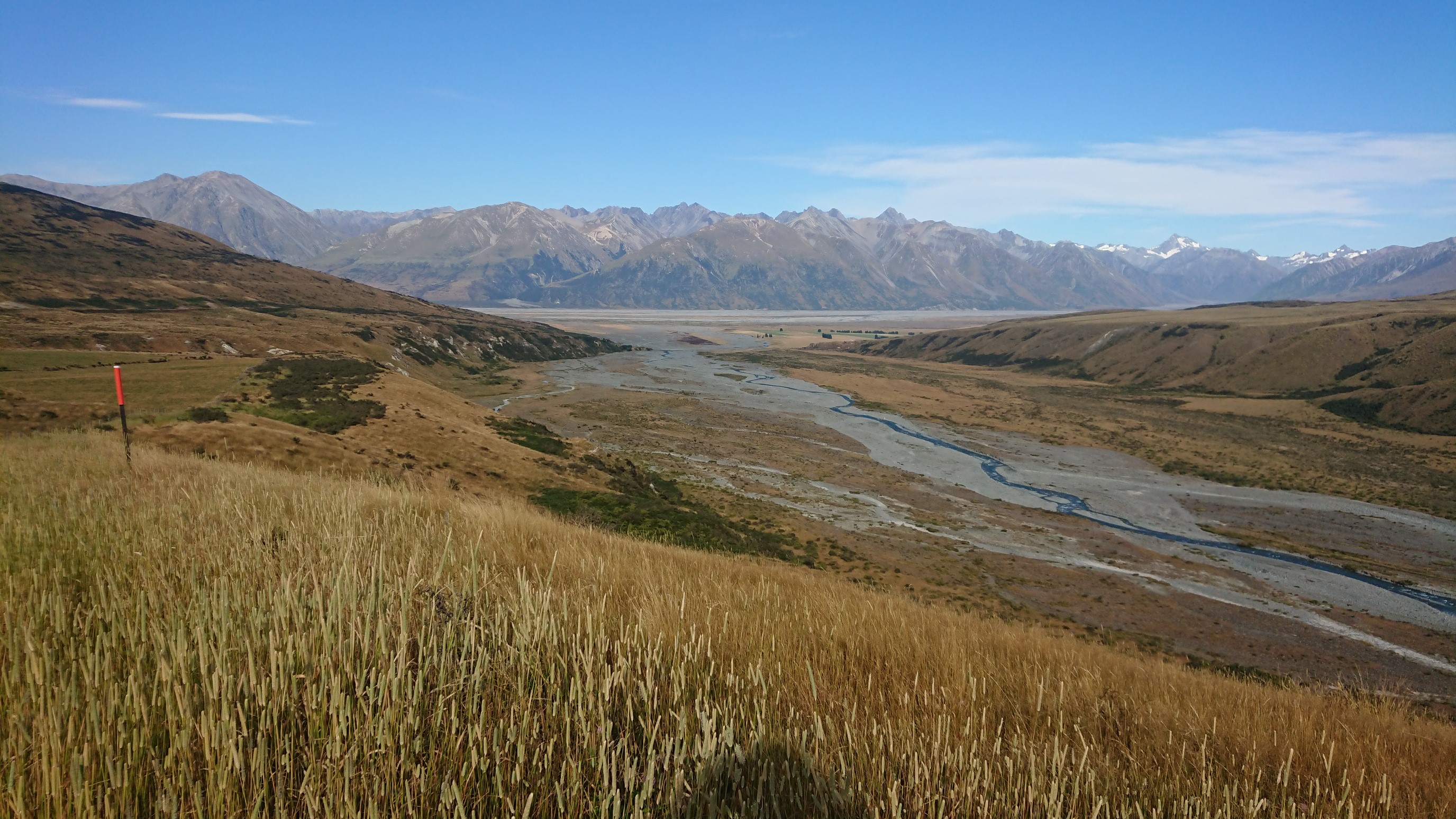
We stop for a nice shady break at a popular camp spot, and we meet two other Southbound hikers. They are waiting for “Wayne” who will give them a ride around the river this afternoon. After checking the river flow data, maps, and weather one more time, we head for the Rangitata River. A few minutes after heading out, we cross paths with a Northbound hiker who just forded the river, saying it was “simple as”. That’s encouraging! OK, off we go!
I record a GPS track from our departure point of the TA, to help us navigate to where the trail resumes again on the opposite side. The Rangitata is a braided glacial river, so it has many channels across the wide river valley. We cross each “braid” carefully.
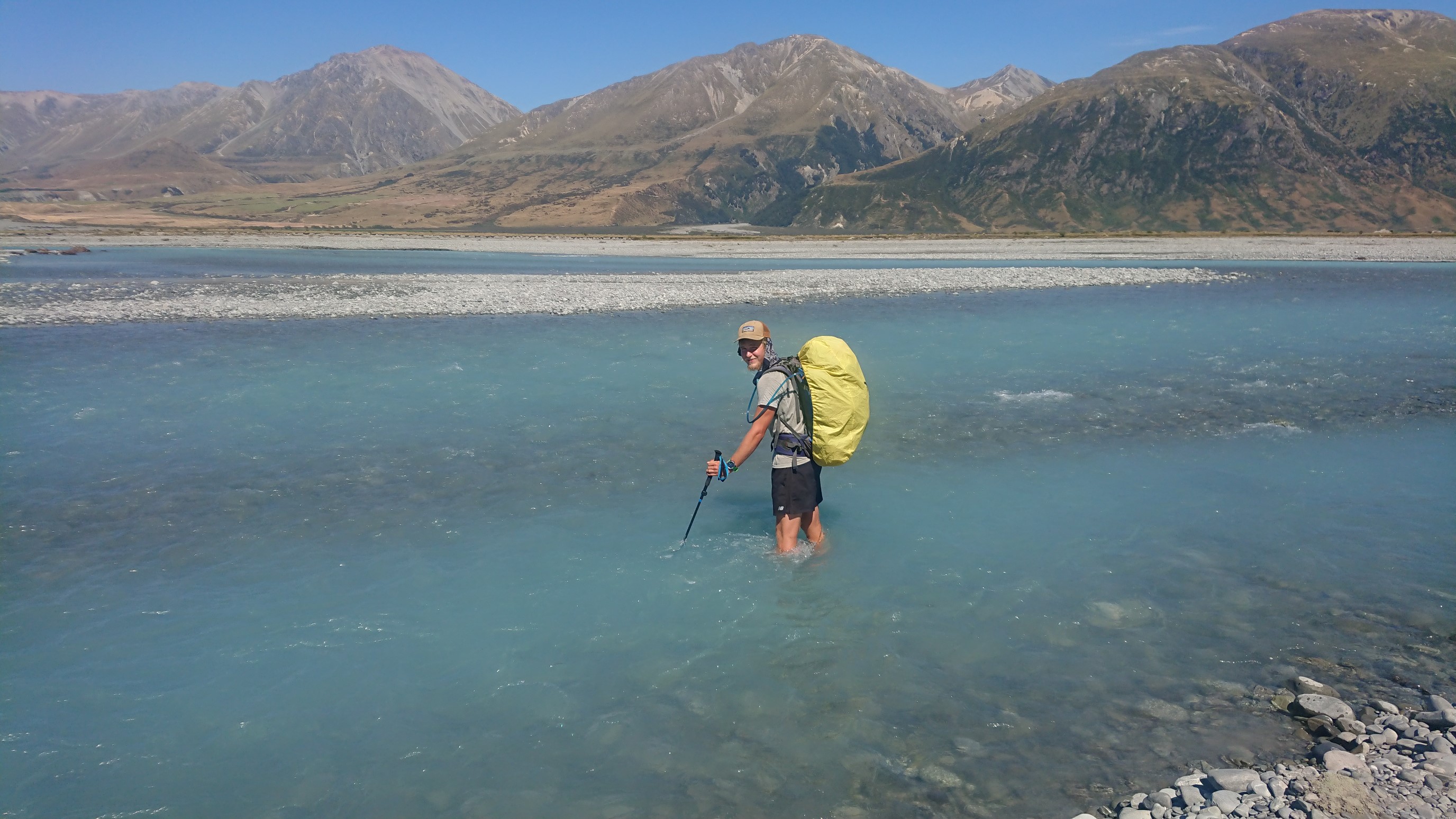
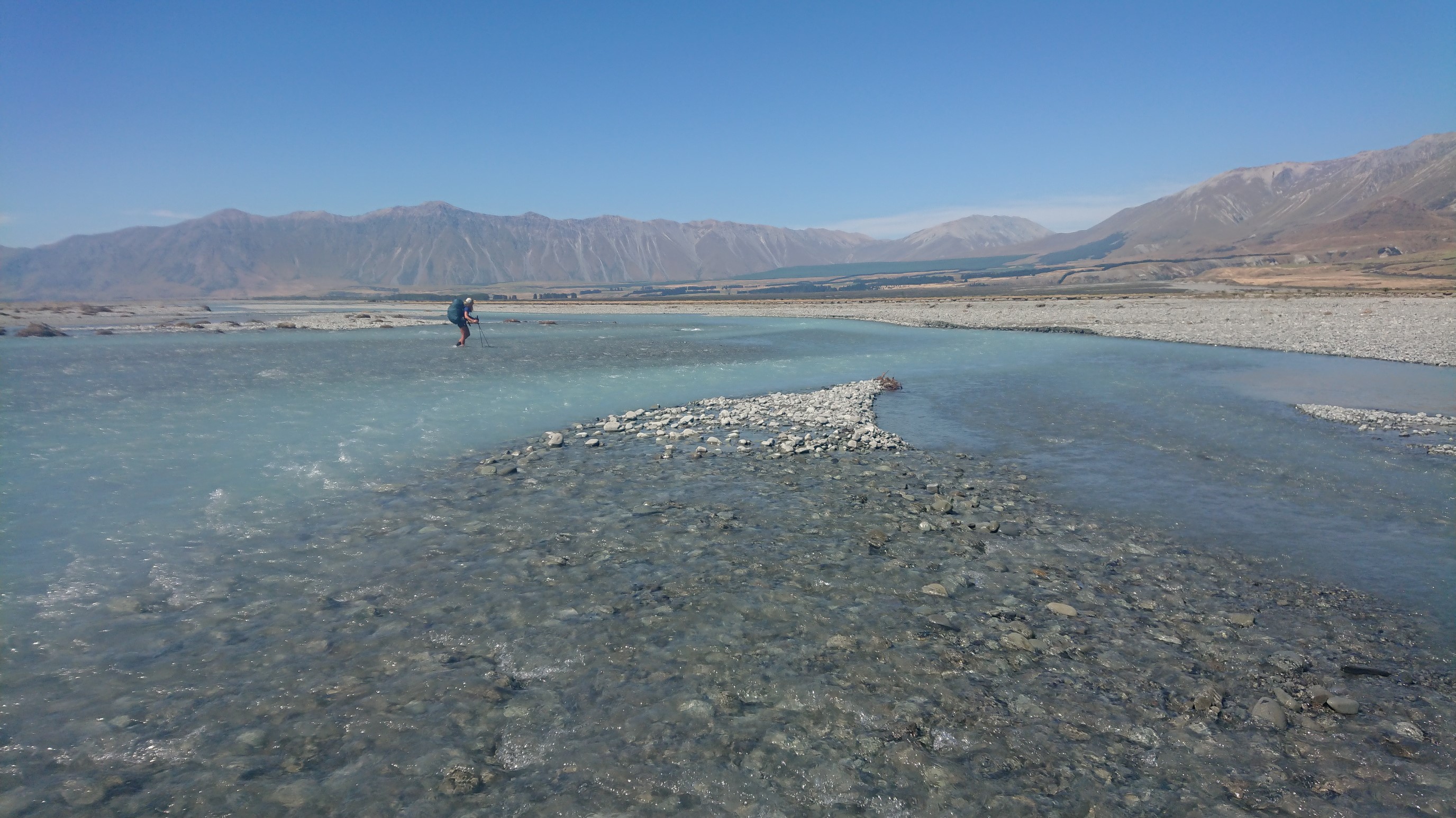
After 3 hours and 12km, we are finished with the crossing. We stop for a late (1pm) lunch break under a bridge for shade. We walk a dirt road for a few minutes, then re-join the TA, which is named the “Bush Stream Track” in this section.
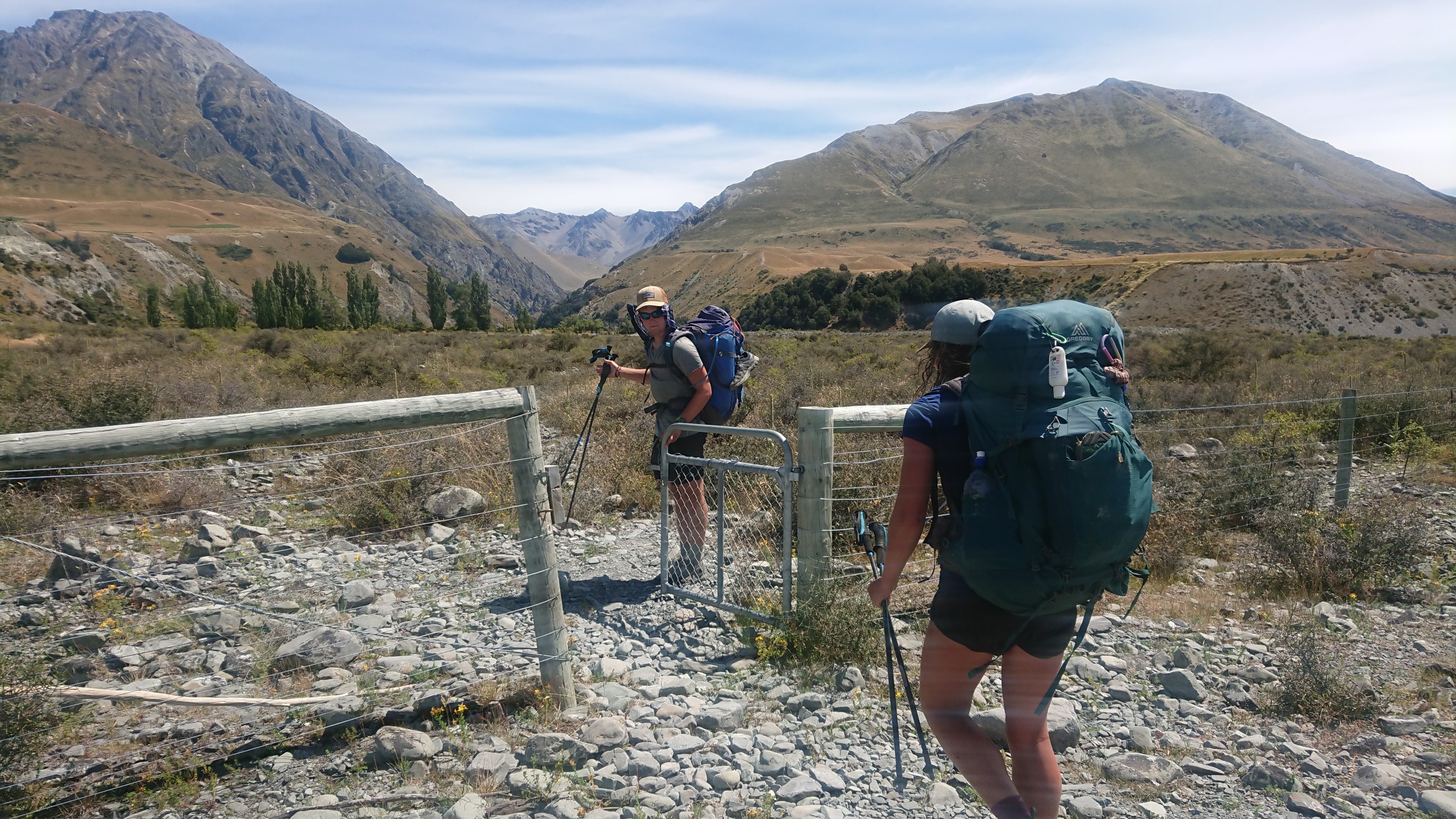
We hike up the Bush Stream for 2.5 hours, which is slow, but feels nice on a hot day.
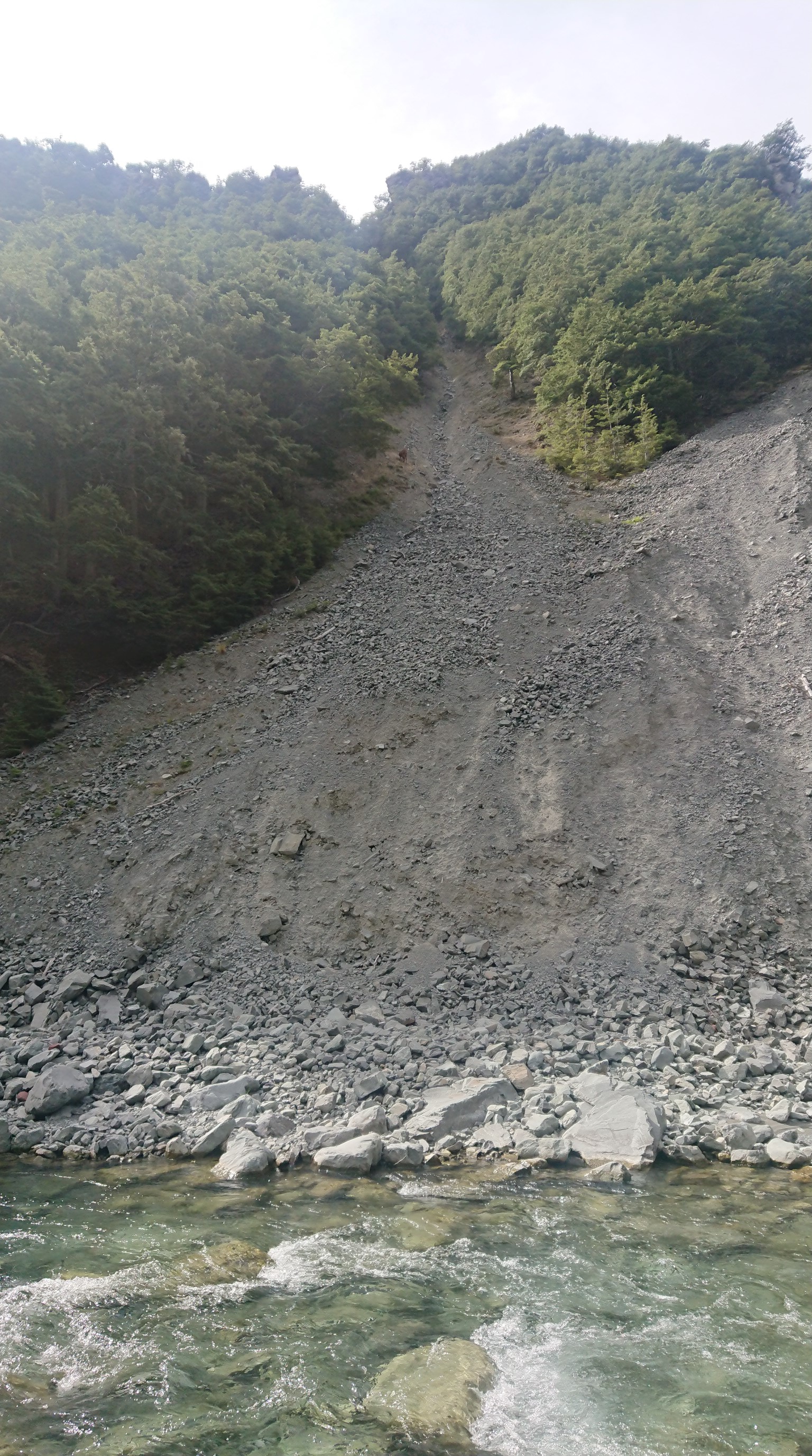
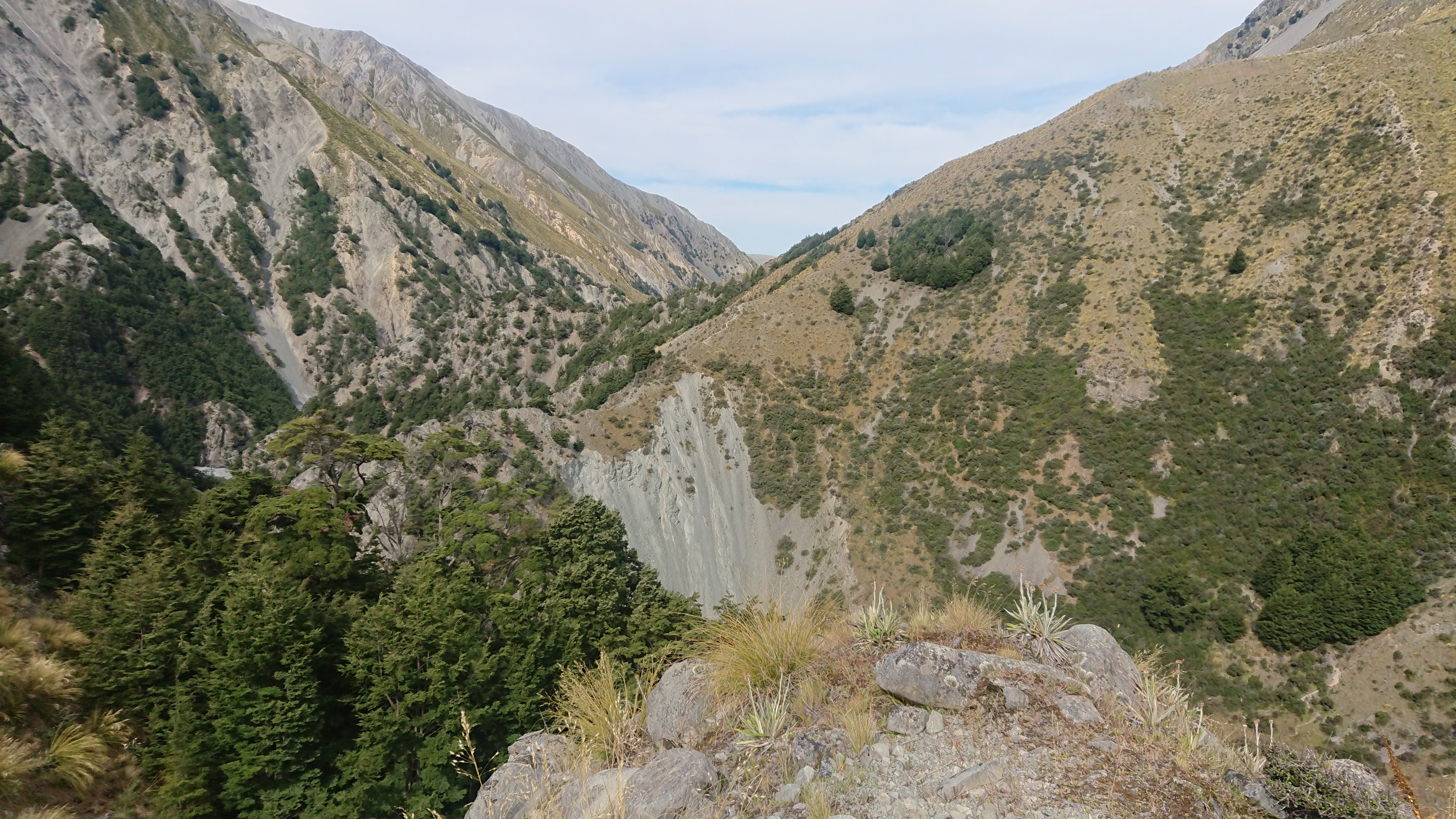
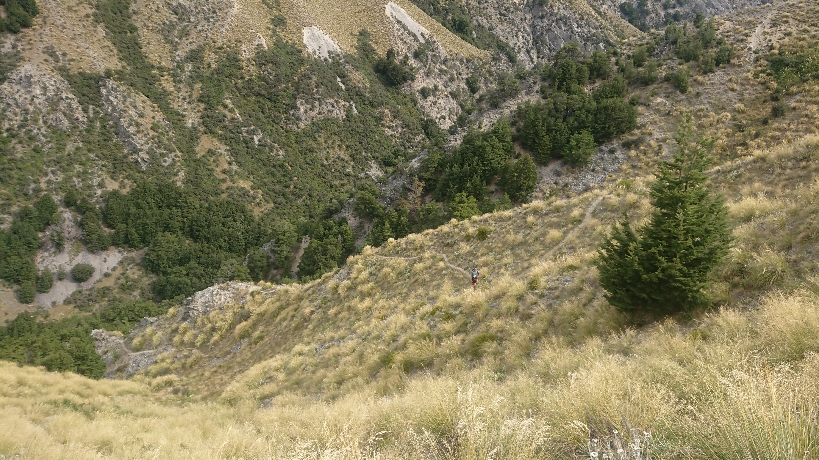
The trail leaves Bush Stream, and we climb steeply for the last 1.5km to the hut.
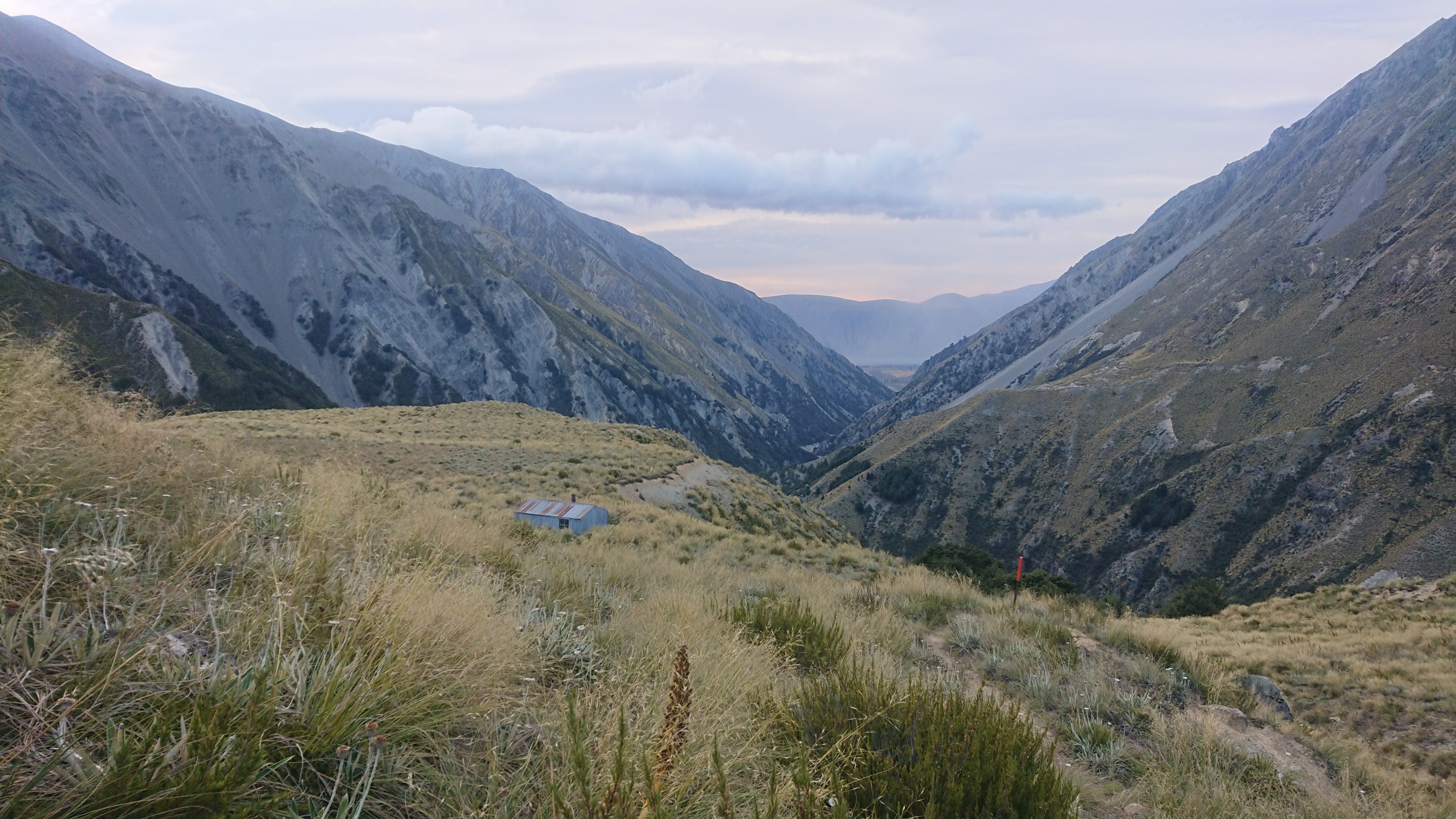
We get to Crooked Spur Hut at 6pm, and just sit for awhile after the long day.
There is one other hiker in the hut, he doesn’t say much. After dinner, I’m in bed at the usual 9:30pm.
Day 89: Friday February 1st, 18.8mi/30.3km
Crooked Spur Hut (2314.1/1024m) to Camp Stream Hut (2344.4/1226m)
As I was going to sleep last night, a family of four showed up, so we had 8 people – a full hut! It was also very windy last night, so I didn’t sleep well with all the commotion. I got moving just after 7am, with Amanda/Ruben shortly behind me. It’s a quick hike up the first saddle at 1500m, but it was very windy all morning. I drop down the other side, the views are amazing!
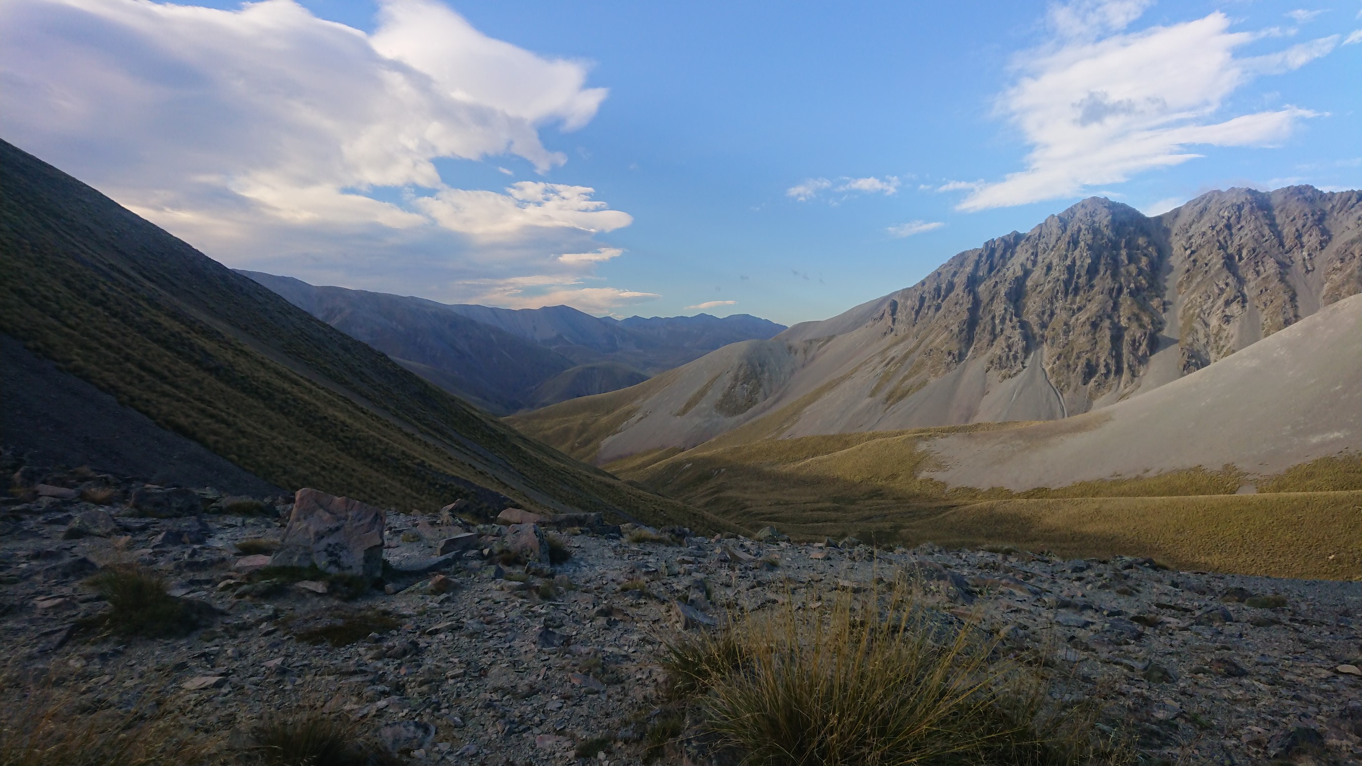
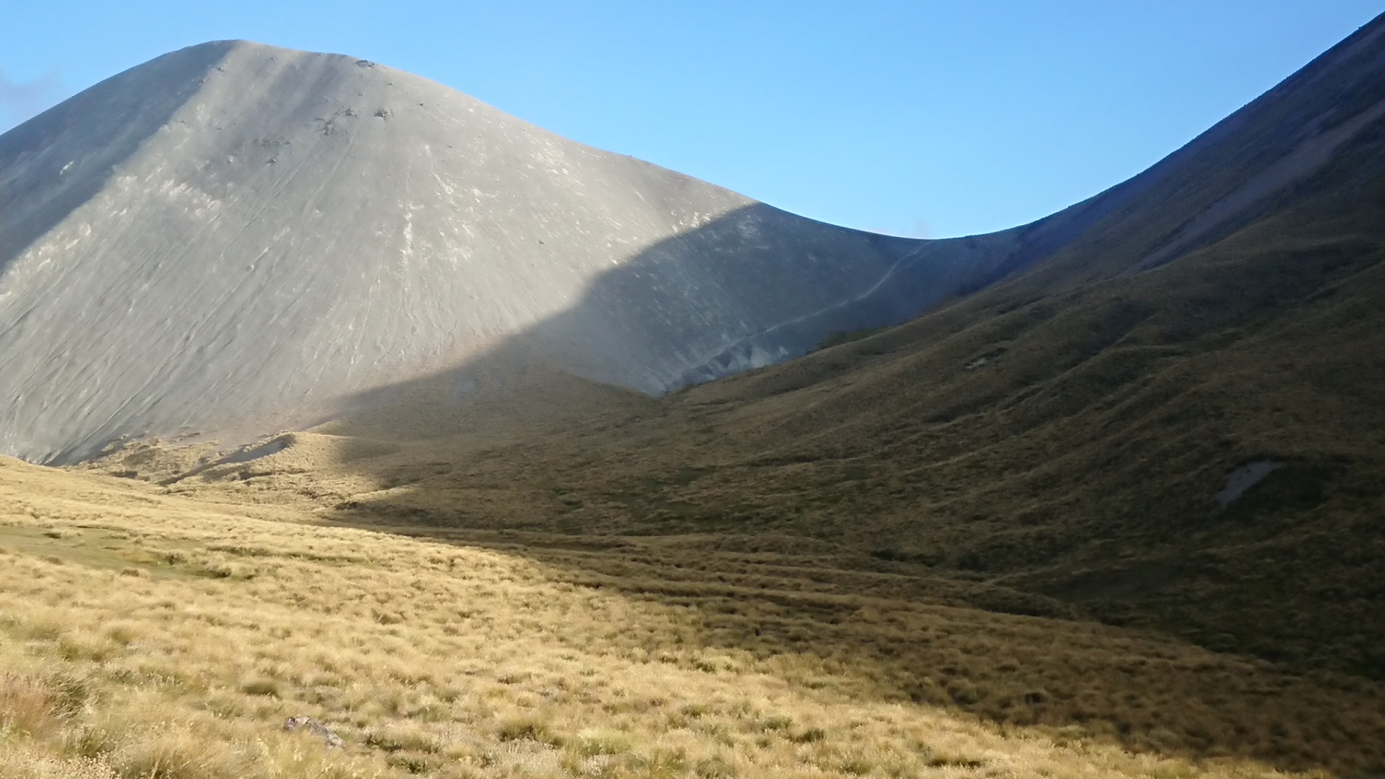
The views continue further down the valley.
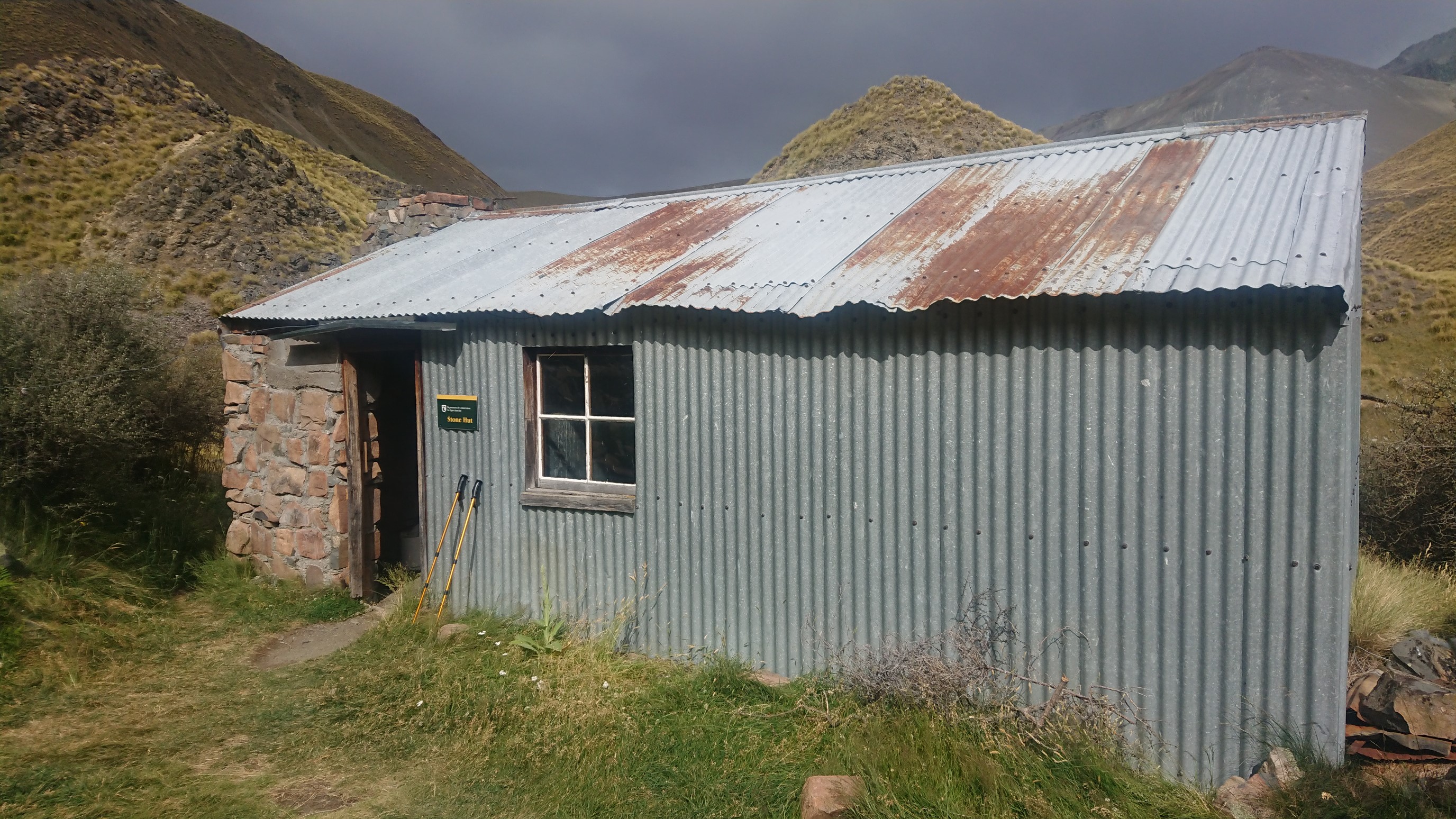
I get to Stone hut at 10:30am and have a quick snack break.
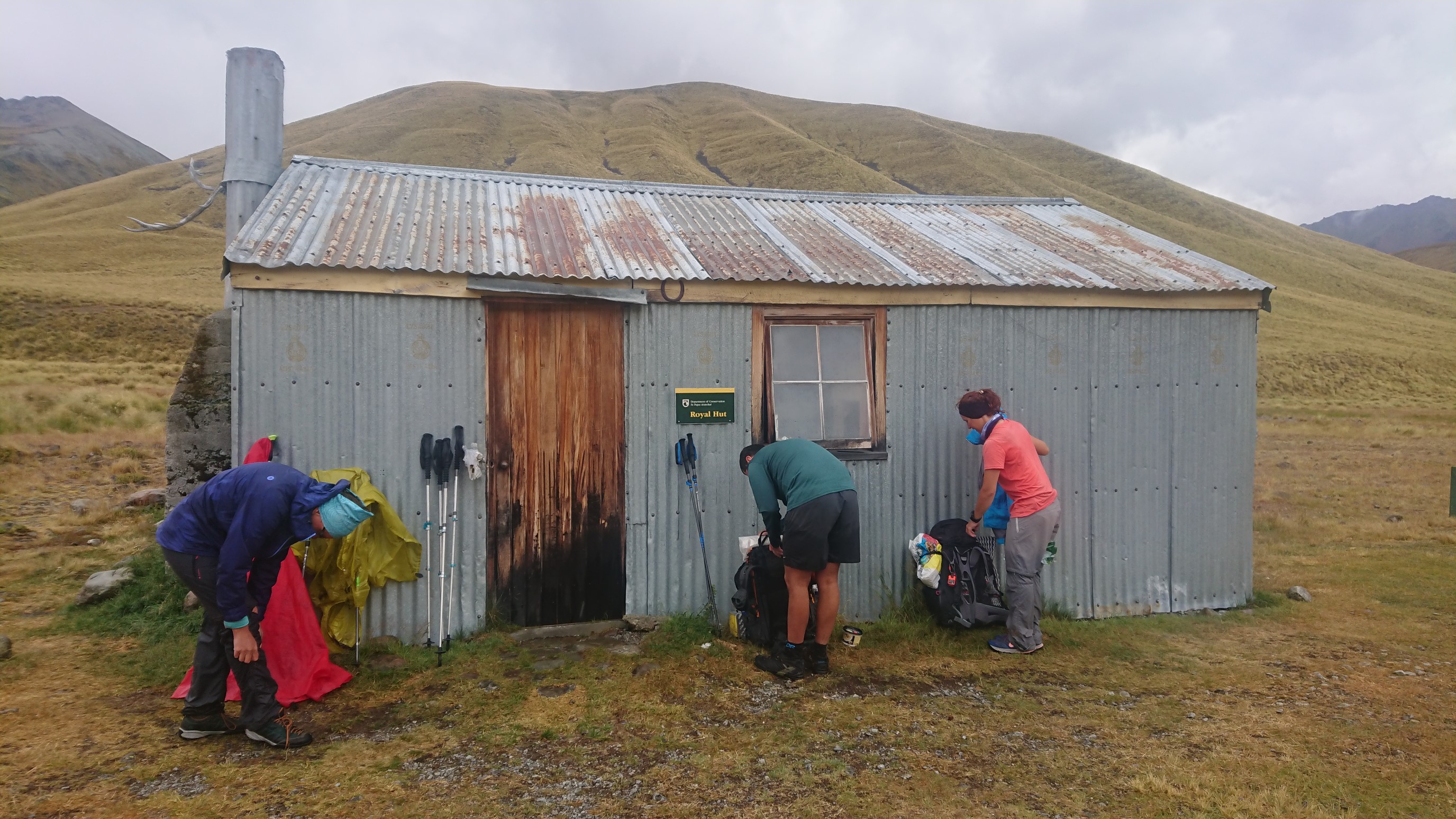
I depart, and 30 minutes later it starts to rain – very hard. I get to Royal Hut at 12:15pm, soaking wet from the waist down. I stay at the hut for 2 hours, drying off, eating lunch, and waiting for the storm to pass. The hut already has 10 occupants, all were very friendly.
Eventually Amanda/Ruben show up, and we all head out at 2:15pm. We hike up to Stag Saddle together, arriving at 4pm. It’s the highest point on the TA, 1925m!
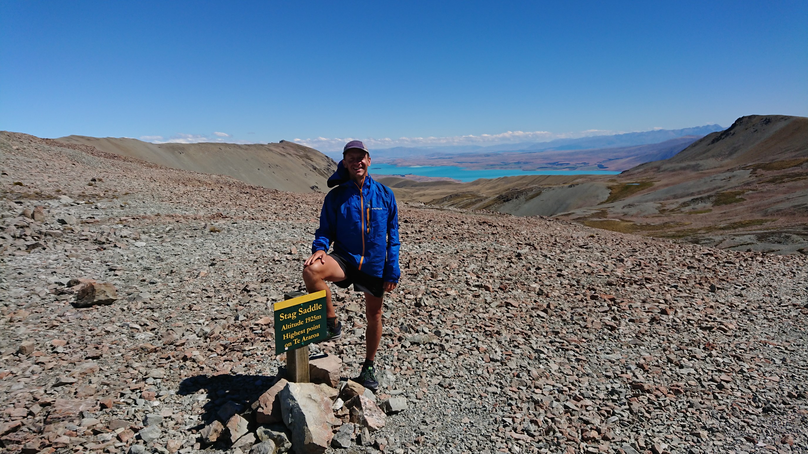
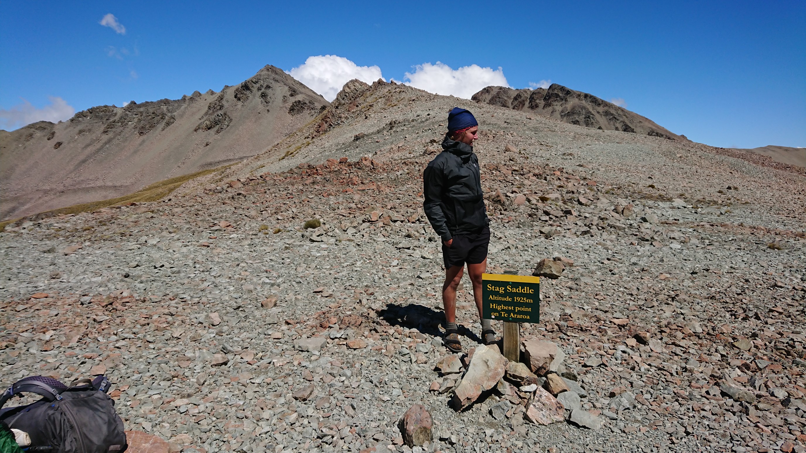
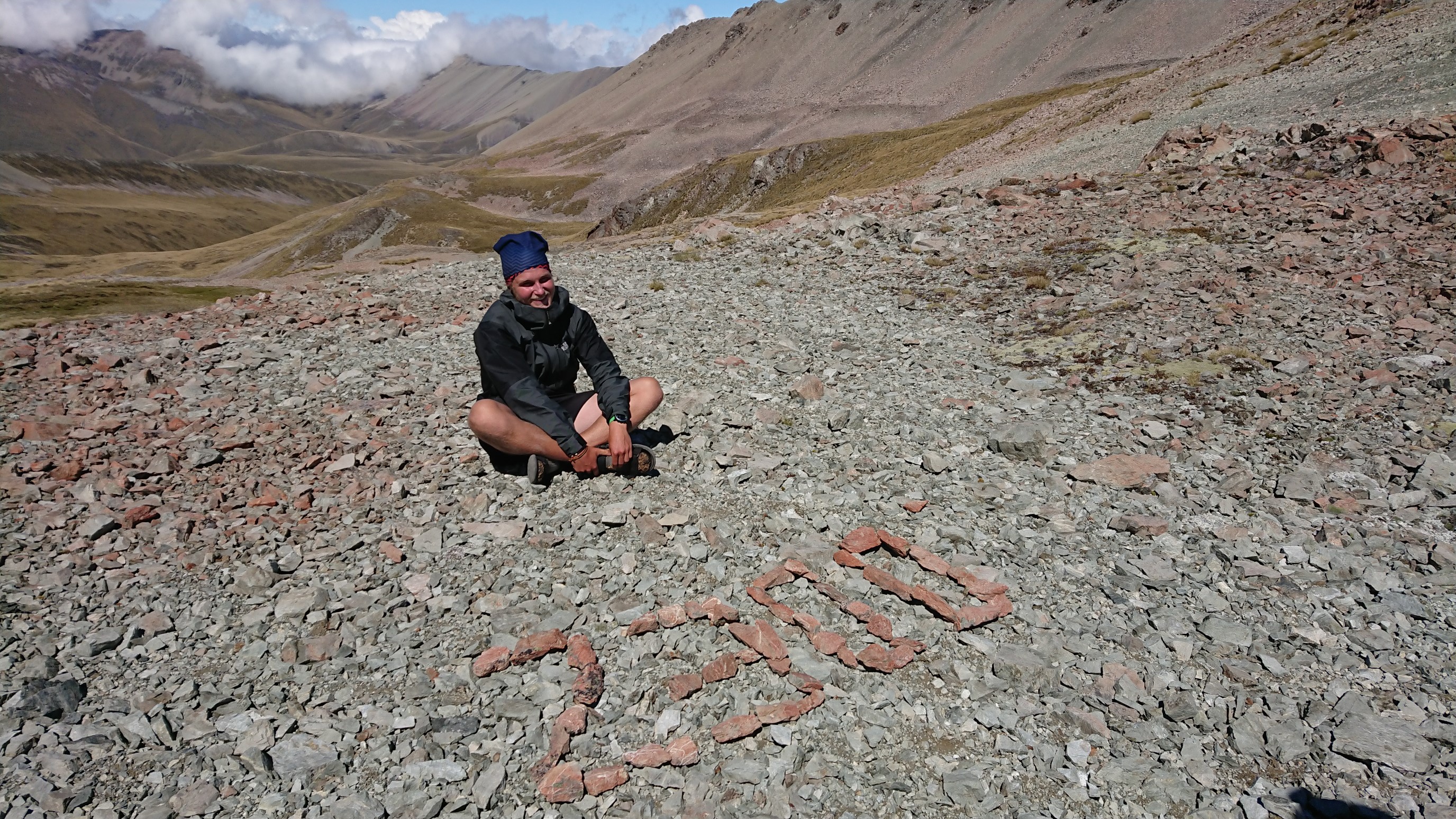
Ruben and his 2300km marker!
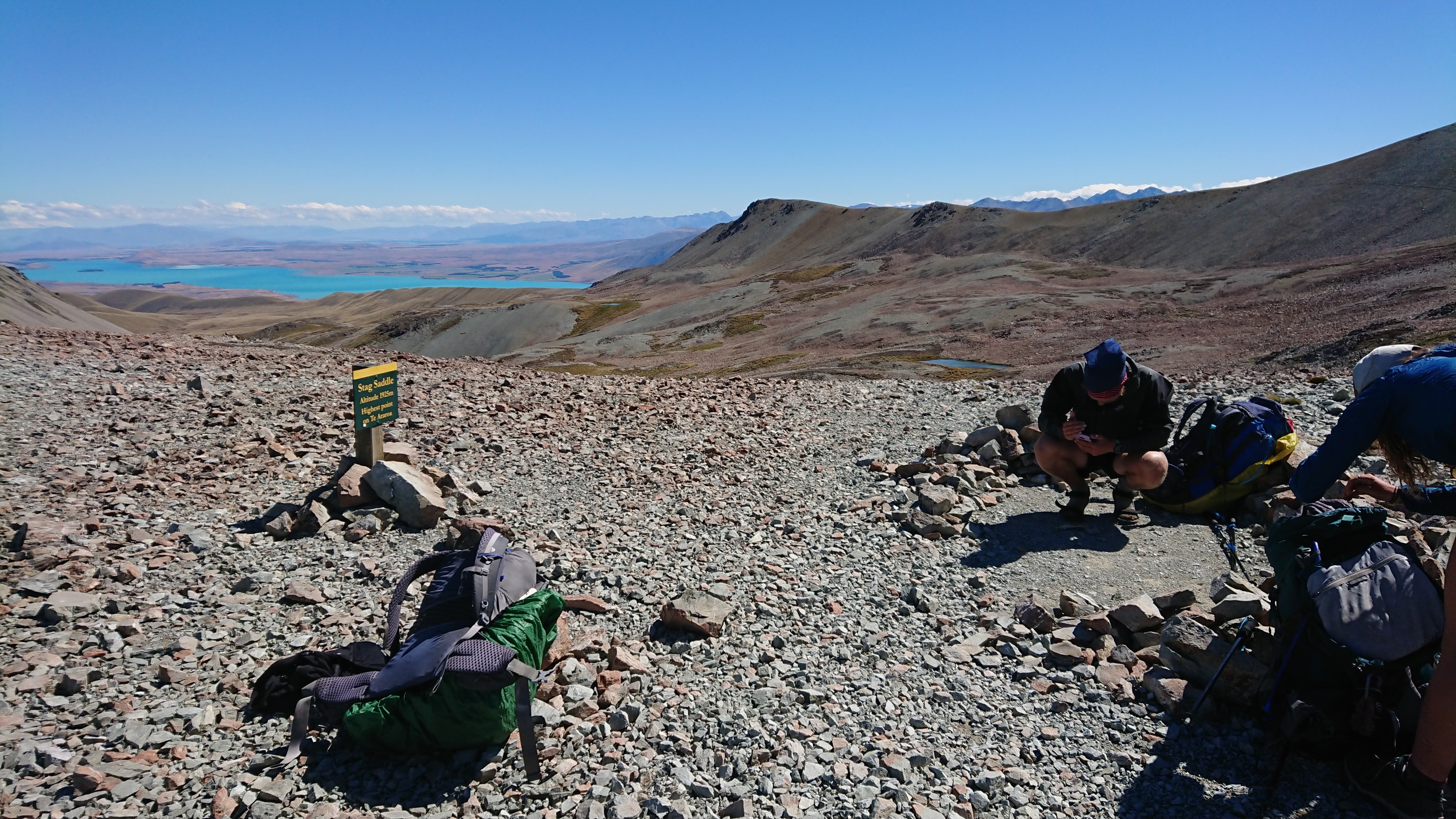
We kinda had a yardsale of our backpacking gear…oops.
It’s an epic ridgewalk down from the saddle, my favorite on this whole trail so far.
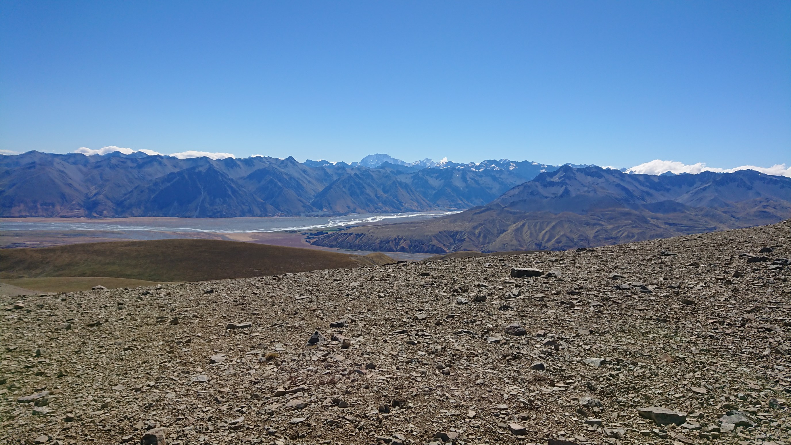
Amanda and Ruben coming down the ridge behind me.
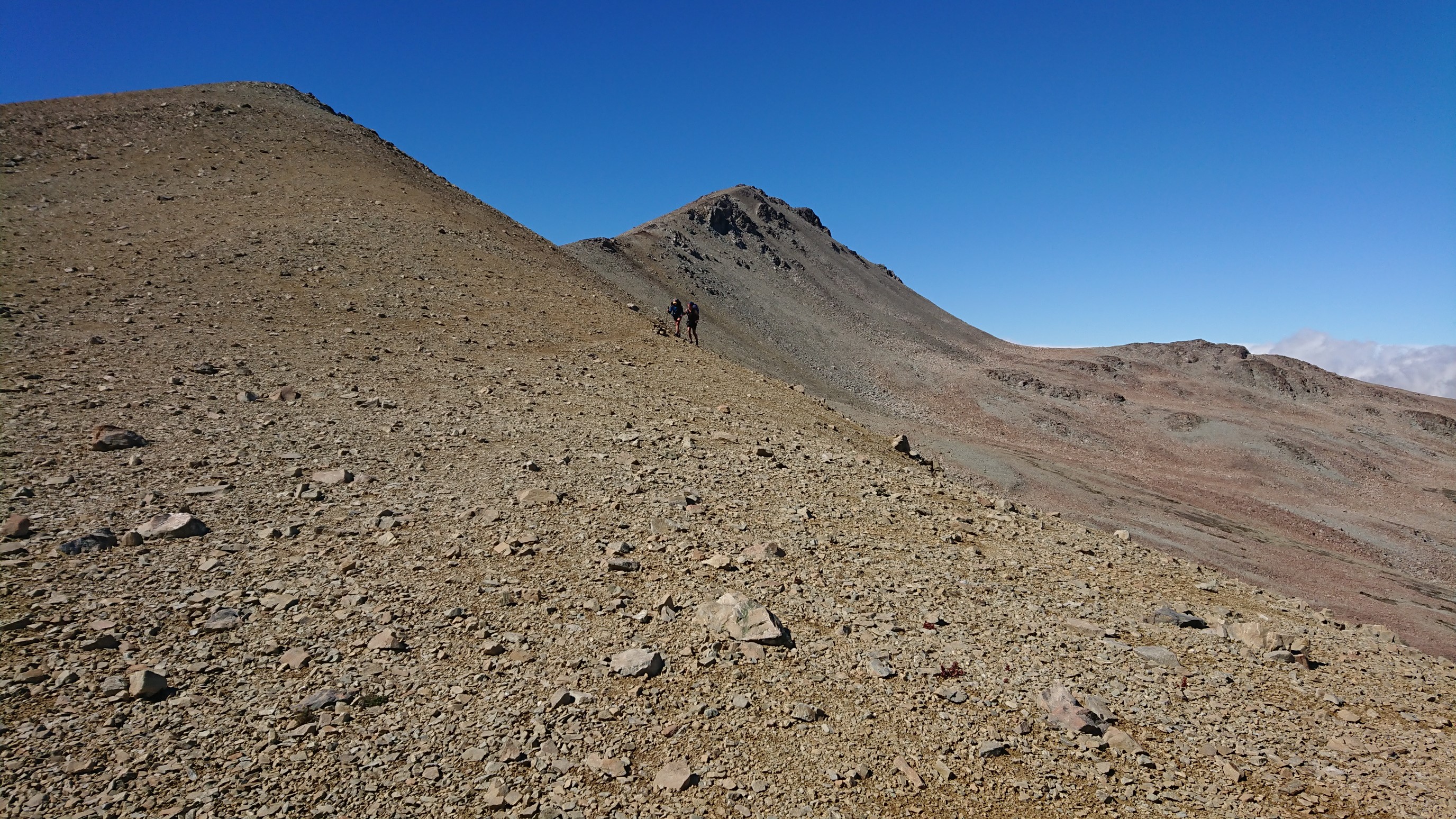
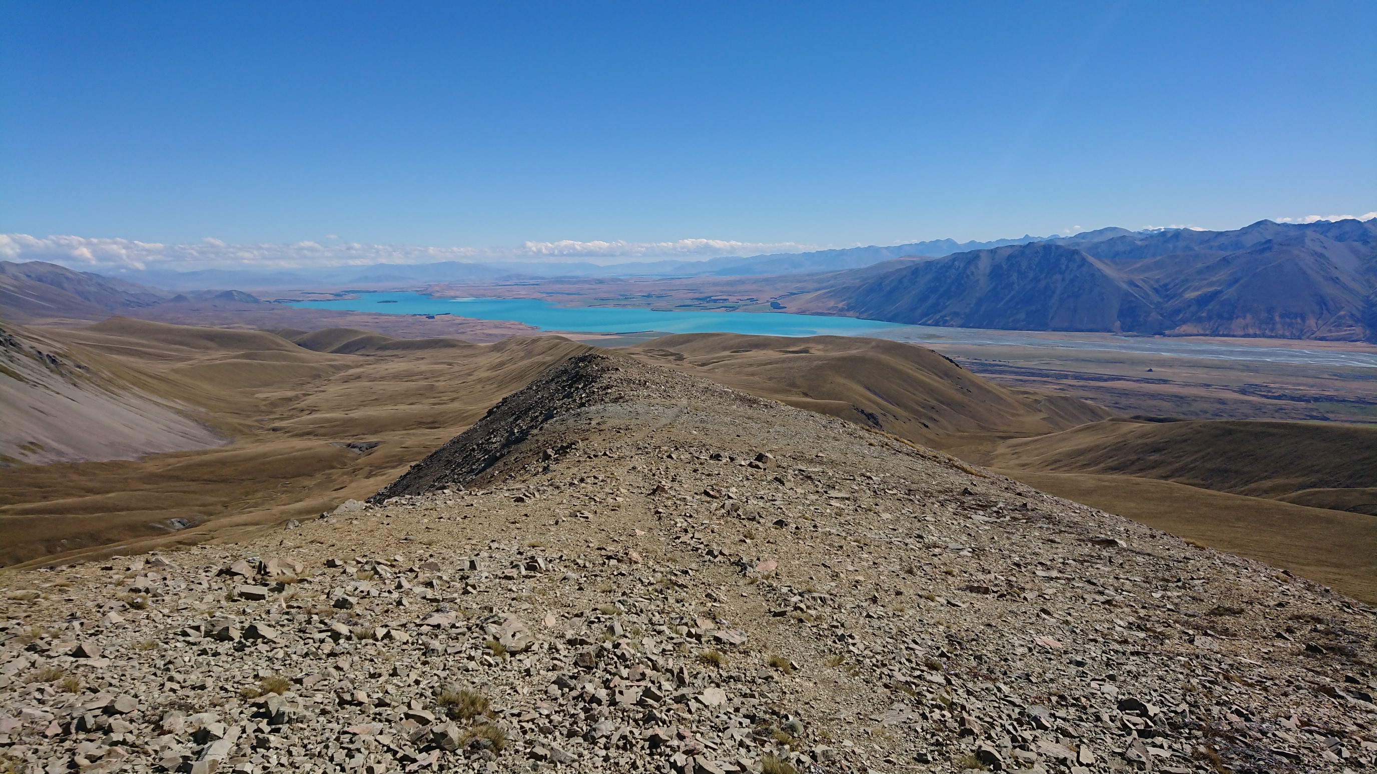
Such an amazing ridgewalk, and perfect weather too! Lake Tekapo is in the distance.
We get to Camp Stream Hut at 7pm, and there are already 12 people camped there!
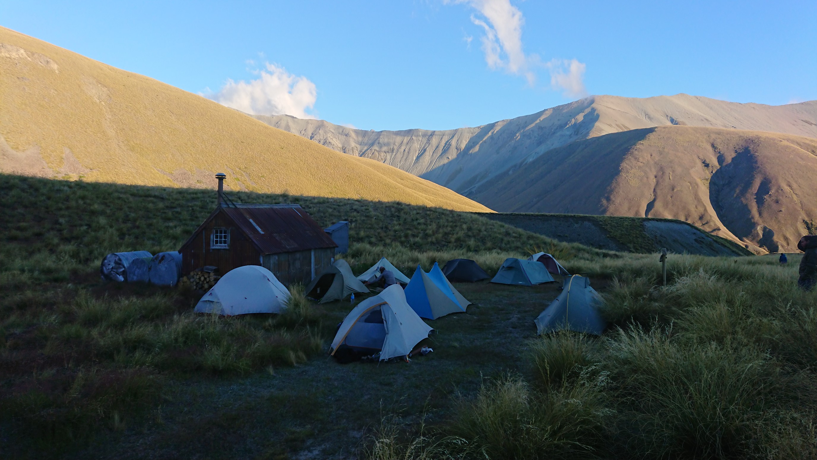
A couple brave hikers are staying in the hut itself, which is reported to be full of mice and spiders…no thanks.
I make dinner at 7:30pm and meet some of my fellow campers, and fall asleep at 9pm.
Day 90: Saturday February 2nd, 21.5mi/34.6km
Camp Stream Hut (2344.4/1226m) to Lake Tekapo Holiday Park (2379.0/727m)
I wake up early, which always seems easier with the excitement of a town day! I’m packed up quickly and hiking at 6:45am. I pass Amanda and Ruben 10 minutes later, they were camped a kilometer further down the trail.
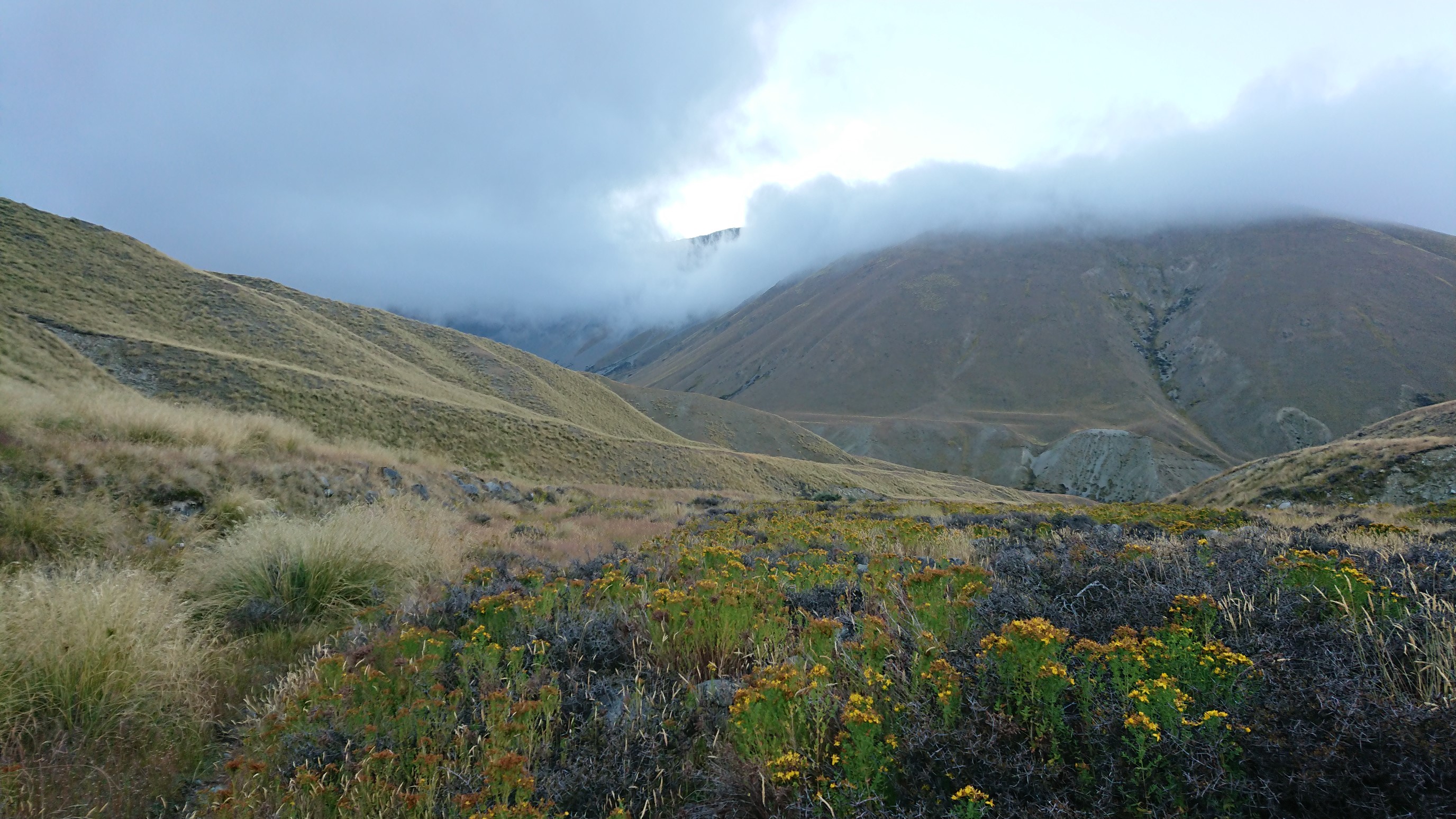
It’s COLD, like 6C. I have to get my feet wet in a stream crossing, which doesn’t help. Fortunately after the stream there is a 200m climb, which warms me up. The trail is in the shade for the next hour, so I hike in my red puffy coat. Finally, at 9am, the sun makes it over the mountains.
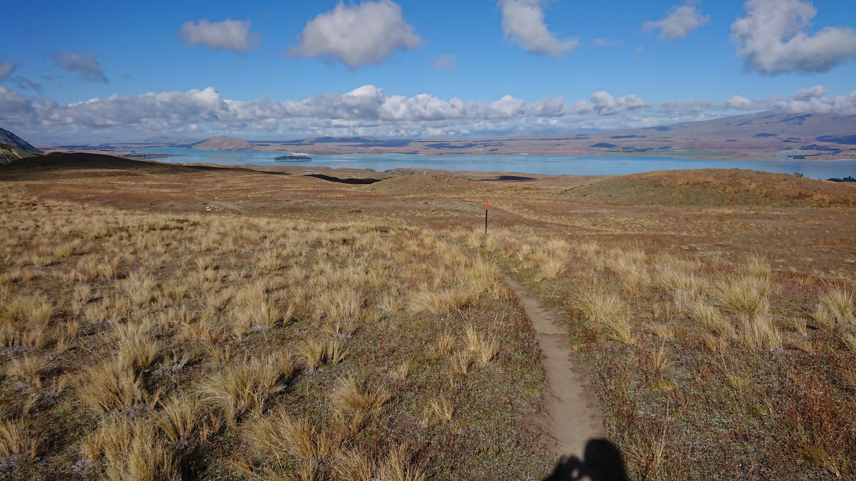
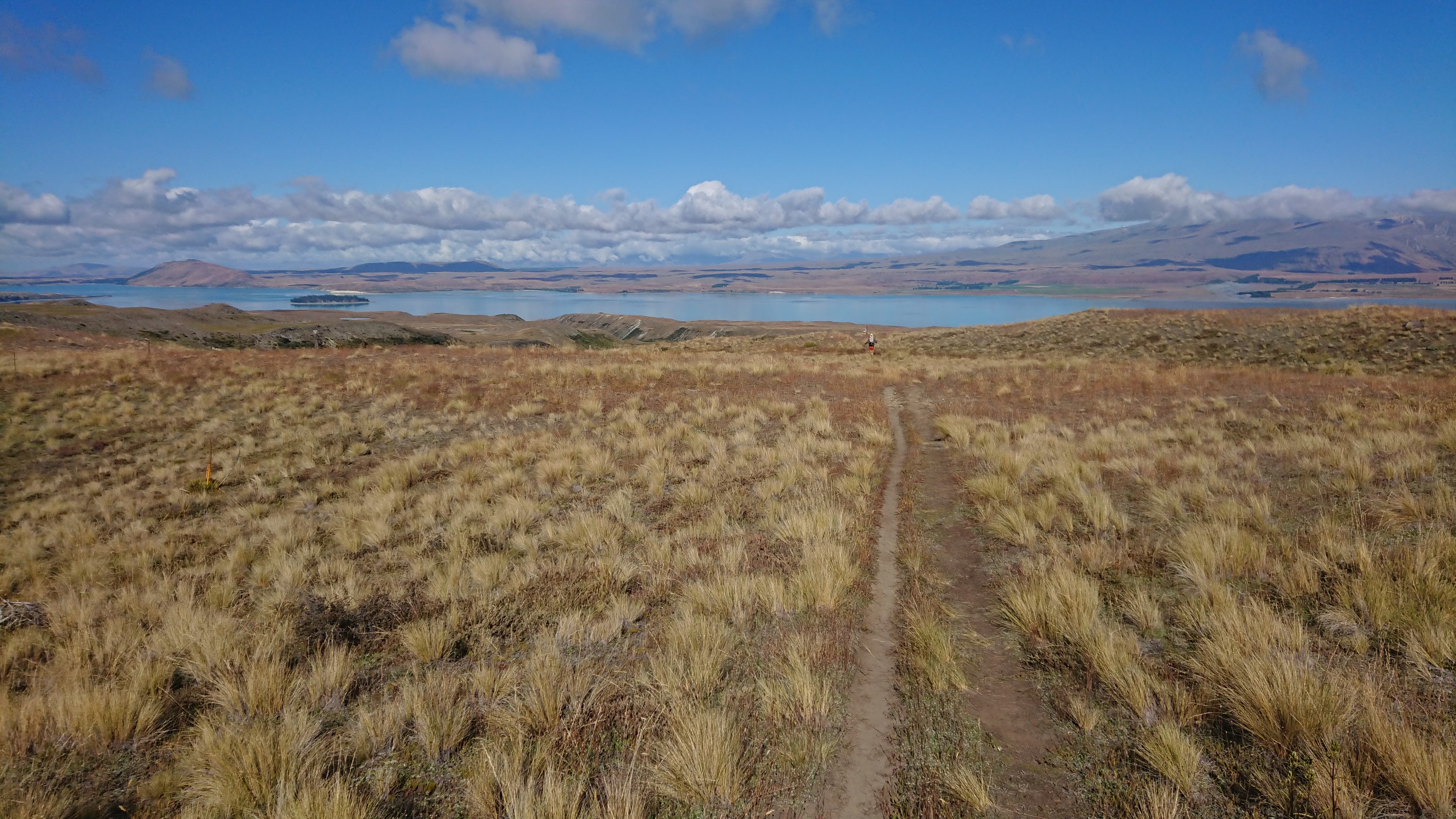
I get passed by an American couple, they hike so fast.
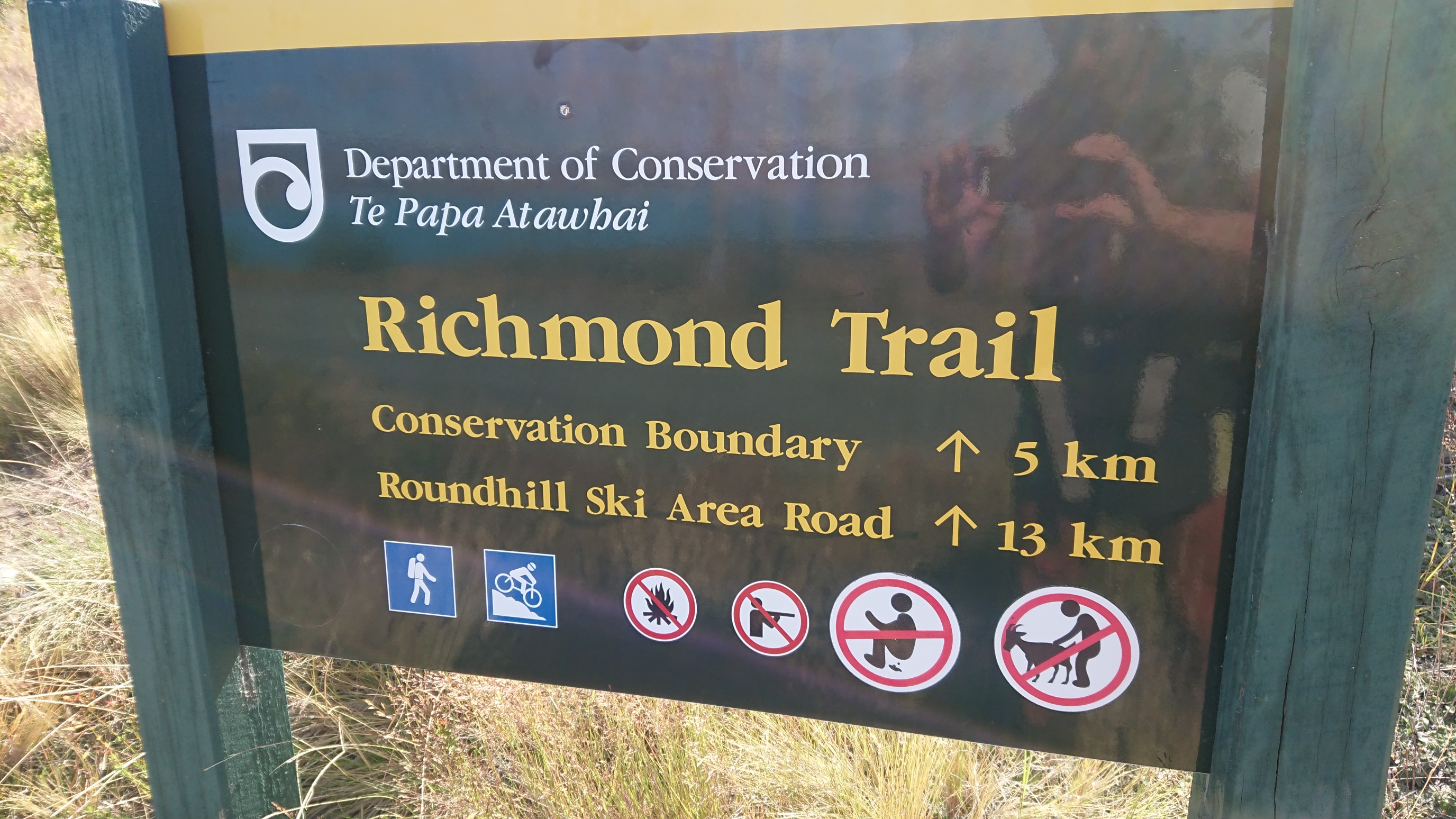
I get to the road at 10:45am, and it’s finally warm! I have a snack break at the trailhead, which has a funny sign.
Amanda & Ruben catch up to me here, and we all walk the 15km roadwalk to town. We get to Tekapo Lake at 2pm, and all the hostels and motels are full, so we reserve a campsite at a holiday park, 1km from town…ugh. I don’t like “bonus miles” in towns.
We stay in town and eat, use wi-fi, grocery shop, and eat ice cream. Ruben and I accidentally eat the entire 2L container of Hokey Pokey ice cream, oops! We finally walk to the holiday park at 7pm, make dinner, shower, and finally get to bed at 11pm.
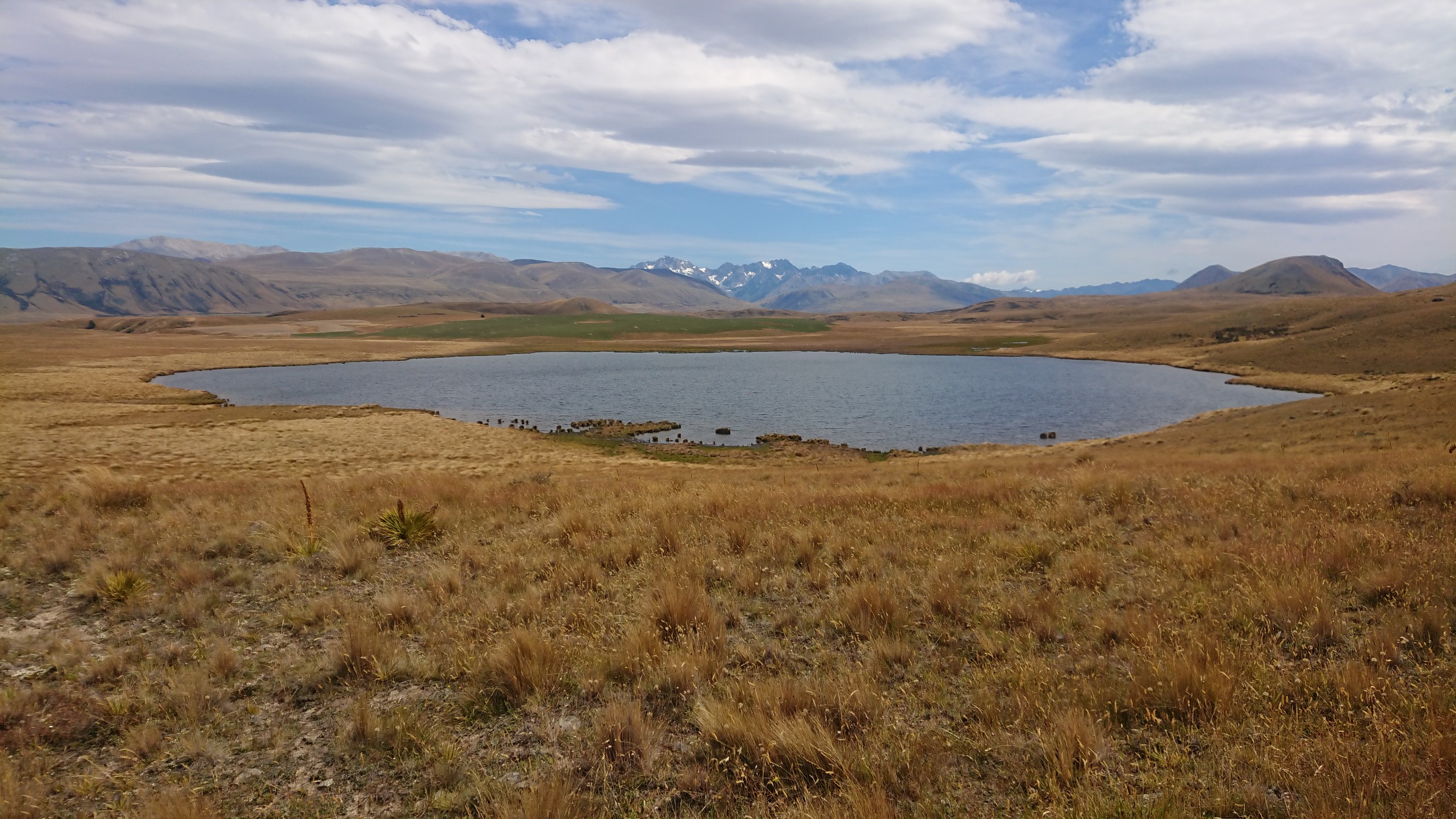
Such an adventure! Love the Clent Hills Saddle views!