Day 106: Monday February 18th, 22.4mi/36.1km
Muddy Creek Carpark (54.7/510m) to McKellar Hut (**/620m)
I get up at 7am, and pack up quickly in case it starts raining (it looks like it might). I go to the kitchen and charge my phone, then walk over to a cafe and order a hot cocoa and chicken pie…yum.
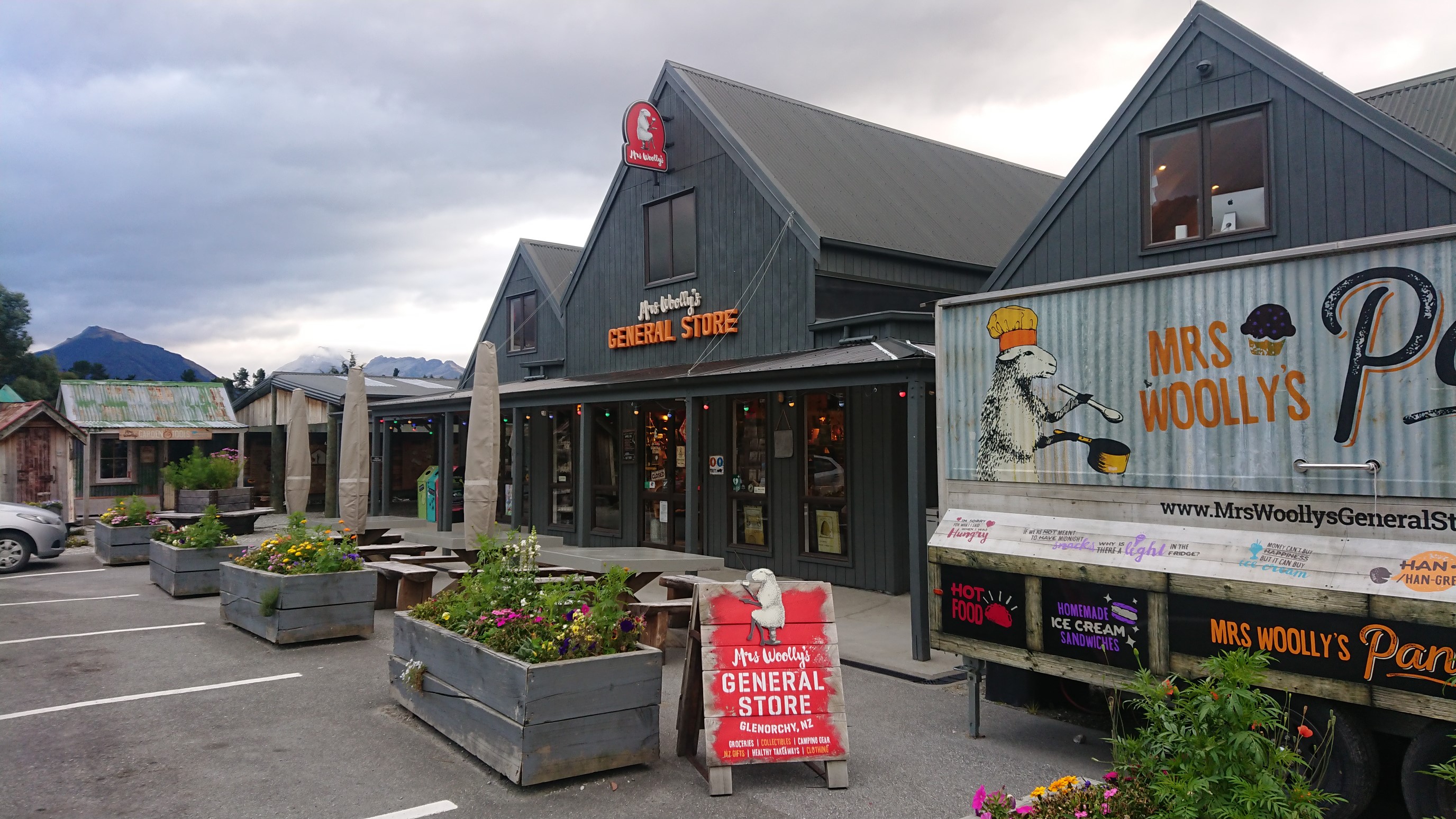
I walk back to the campground, and the shuttle picks me up with two other hikers at 9am. It drops us off at the start of the popular Routeburn Track, and I start hiking at 9:30am. There are sooo many tourists!
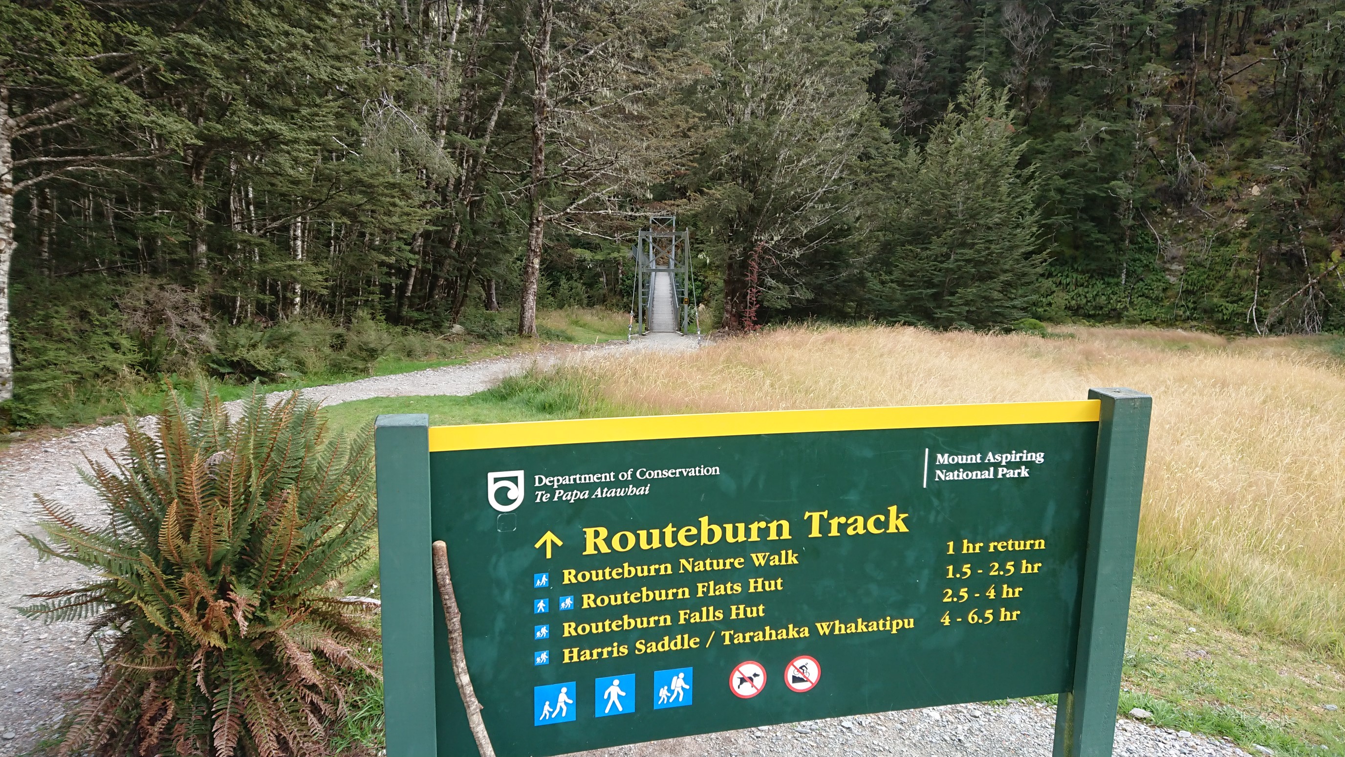
The Routeburn Track is beautiful though.
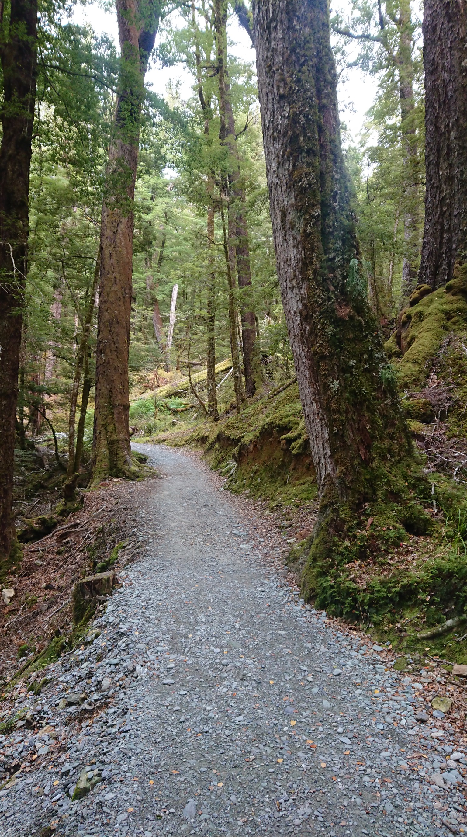
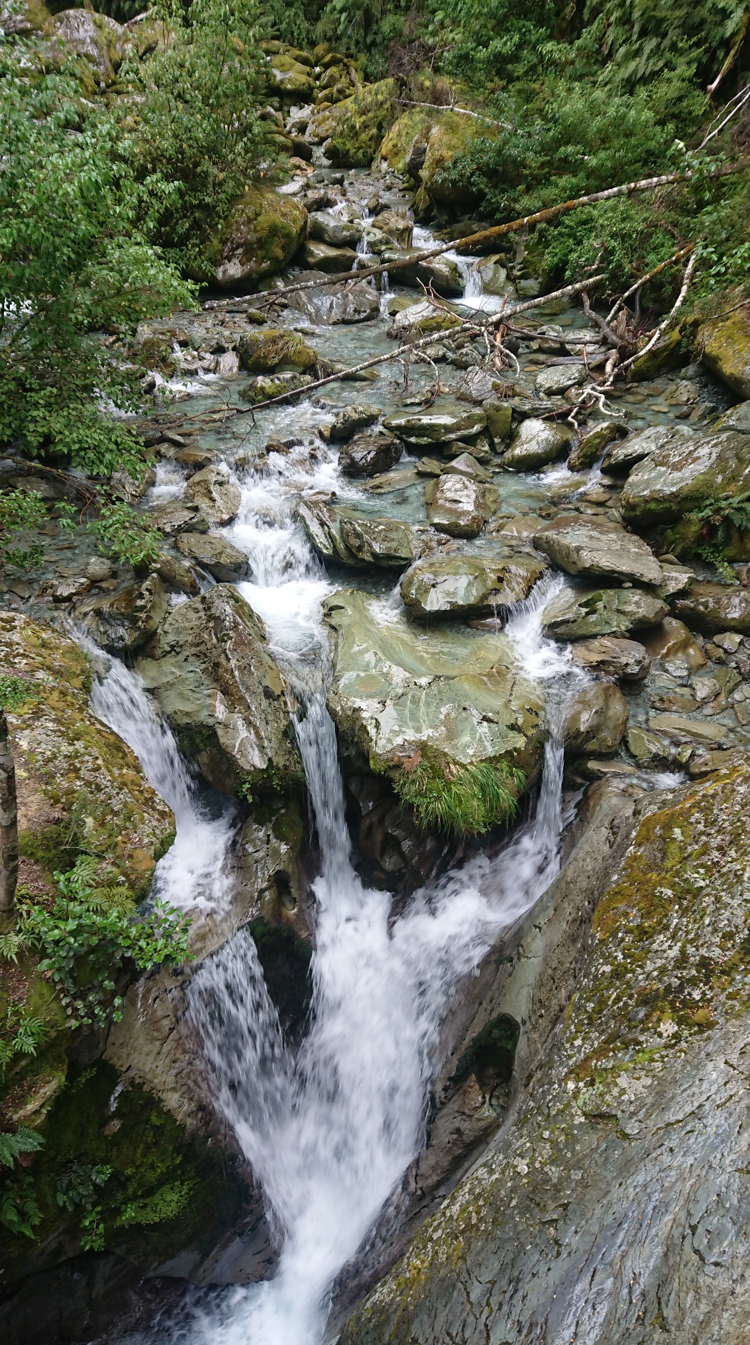
I stop at the Routeburn Flats hut about 7km into the hike, and get a snack while waiting out a rainshower. I hike on for another 2.5km, the views up to the Routeburn Falls hut are foggy.
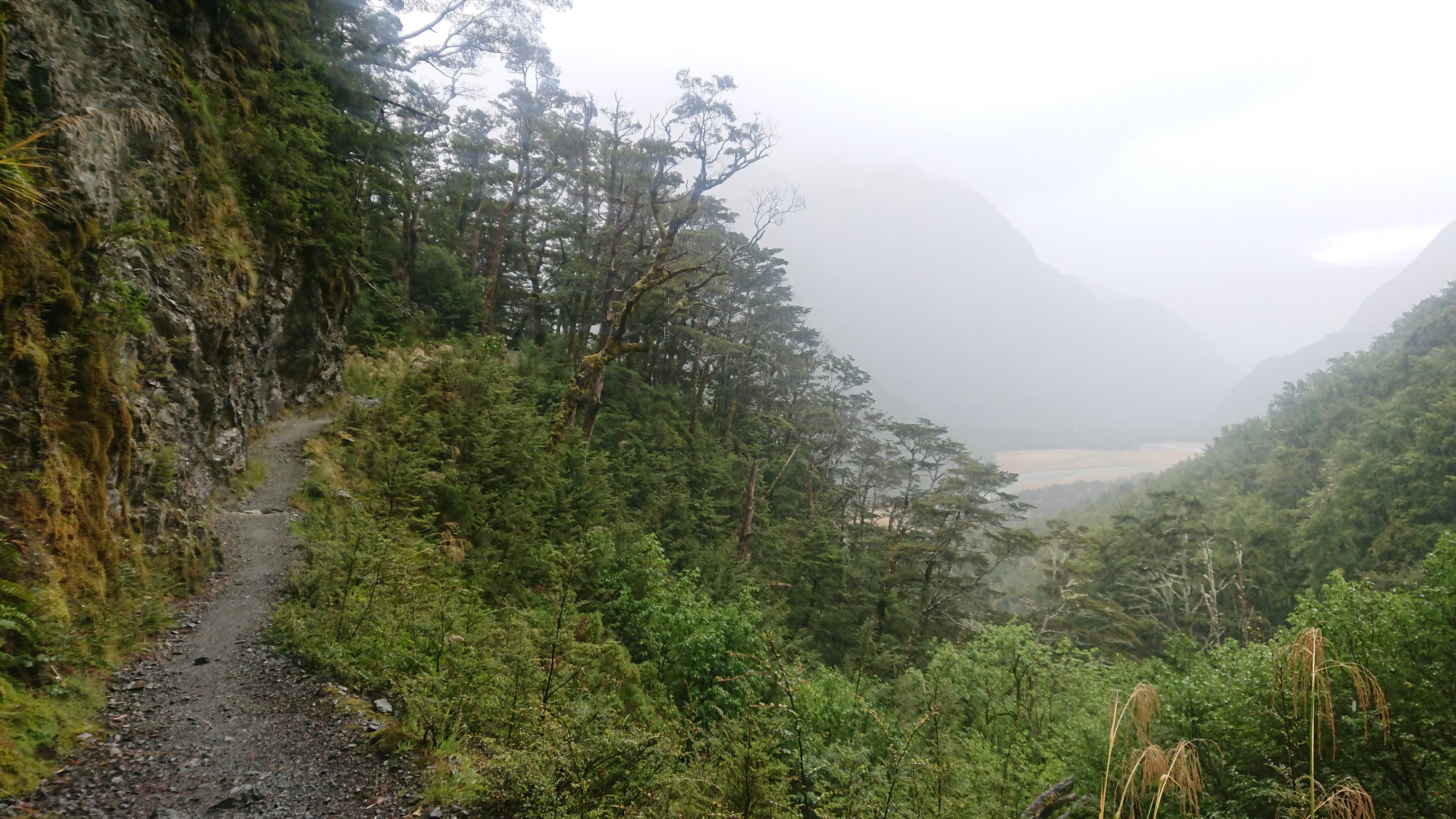
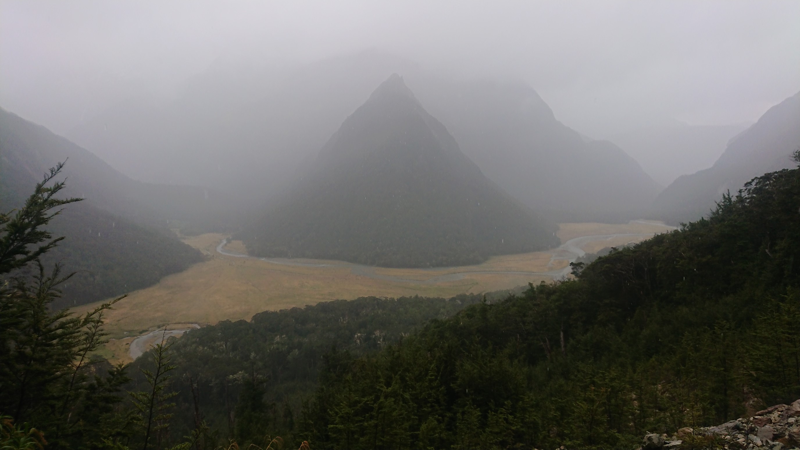
I take a short break at the Routeburn Falls Hut. It’s close to 0°C, so in some spots the rain falls as snow (barely).
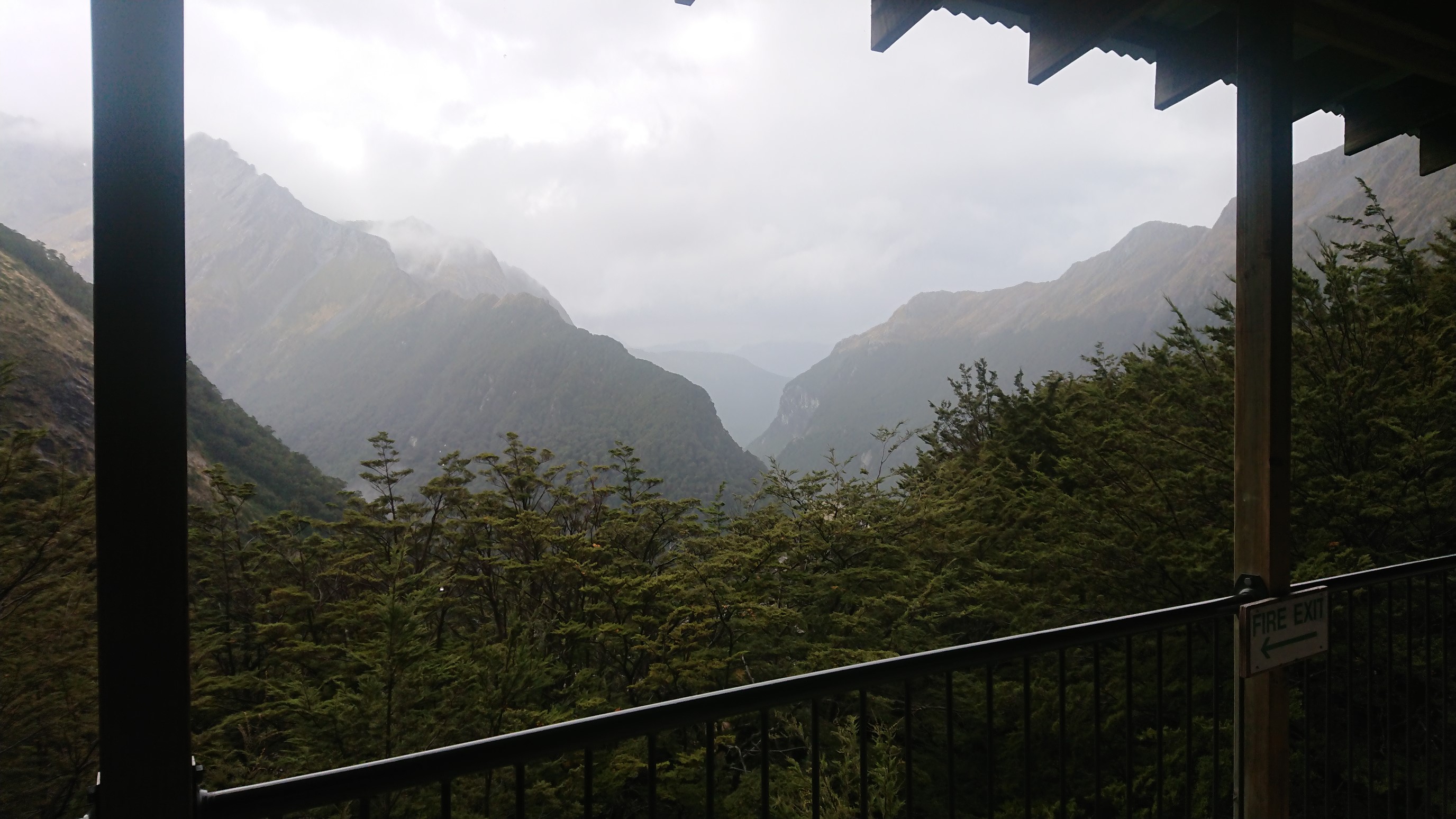
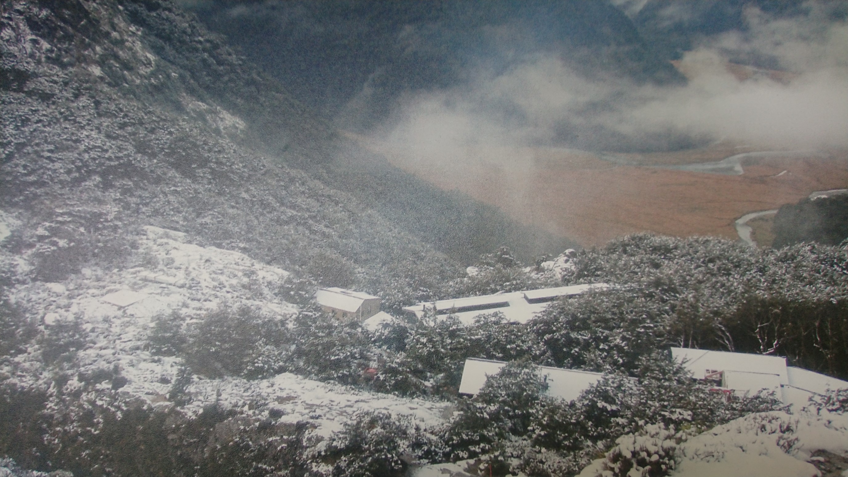
From here it’s all uphill to the beautiful alpine section.
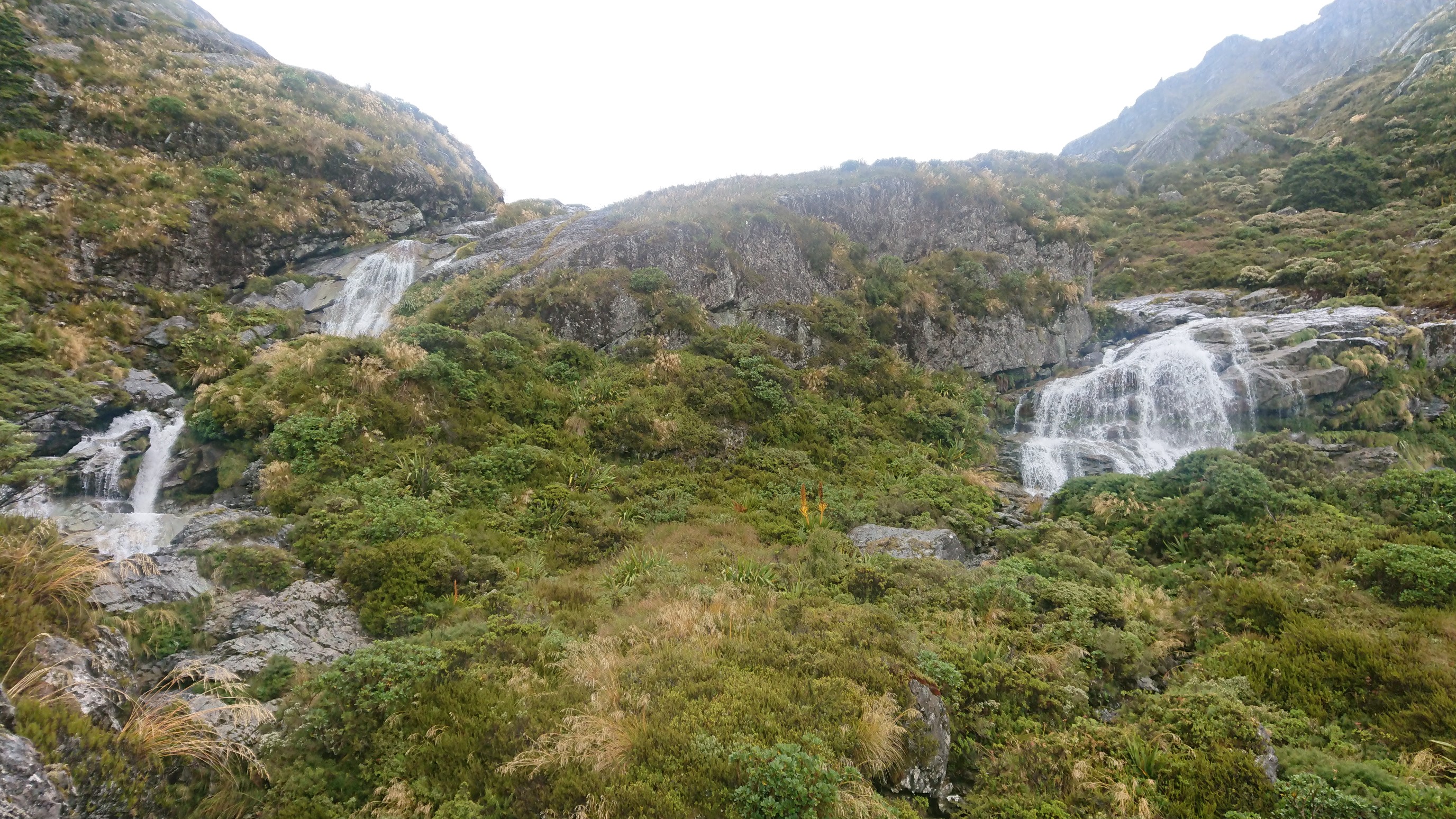
There are heaps of views, even with all the clouds!
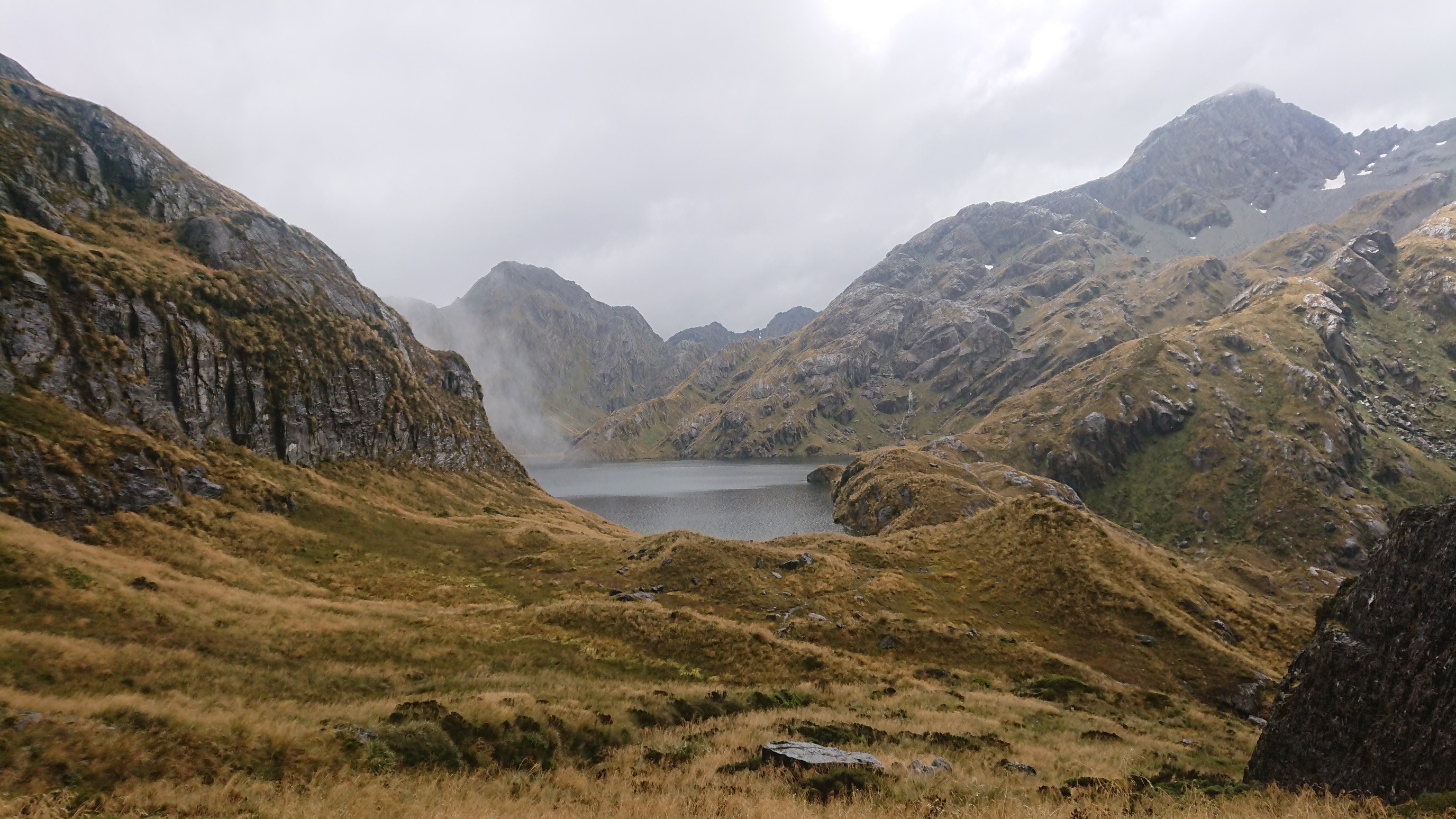
I have lunch at the Harris Saddle shelter, a cool A-frame shelter. While I’m inside with a bunch of other hikers, it stops raining (for now), so I get some photos!
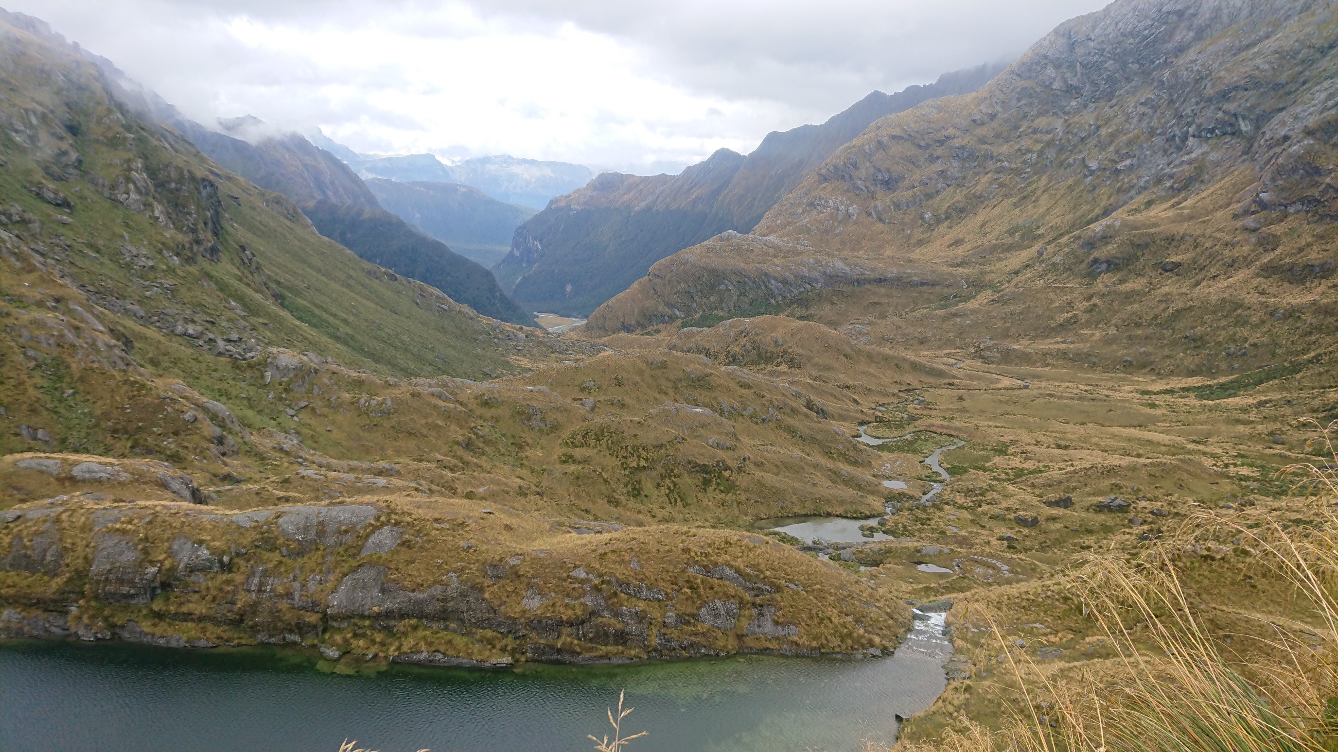
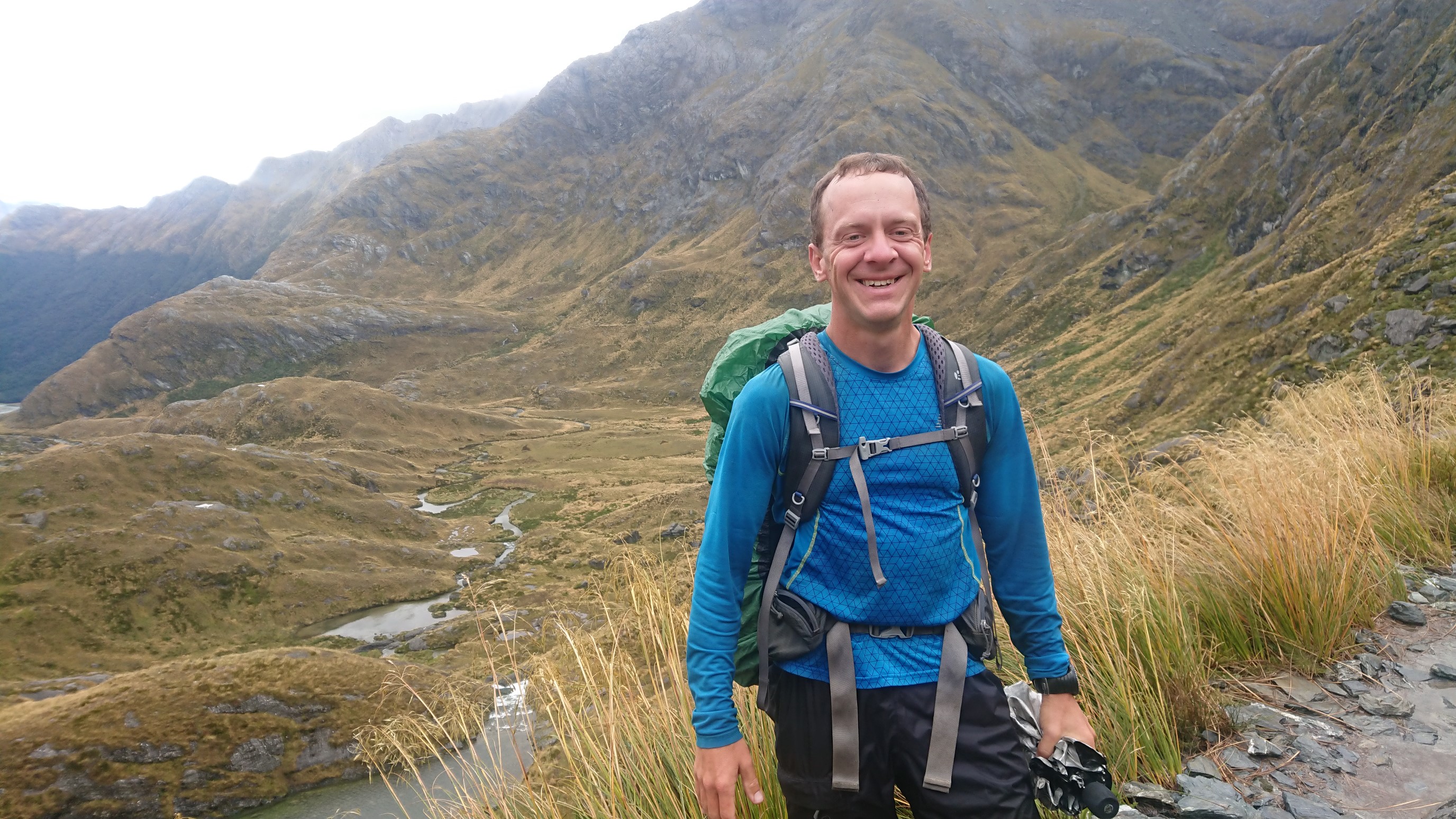
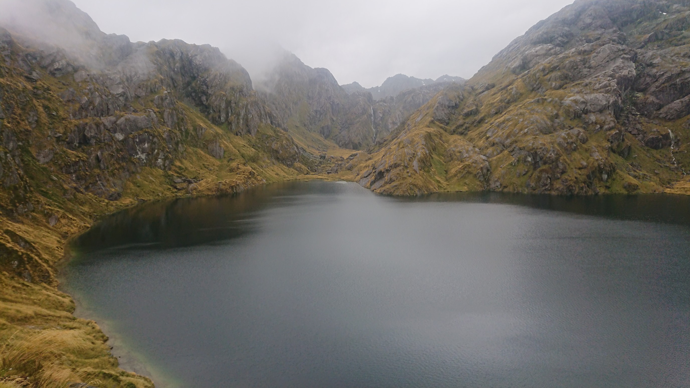
I hurry down the hill and get below treeline before the next set of rainstorms arrive.
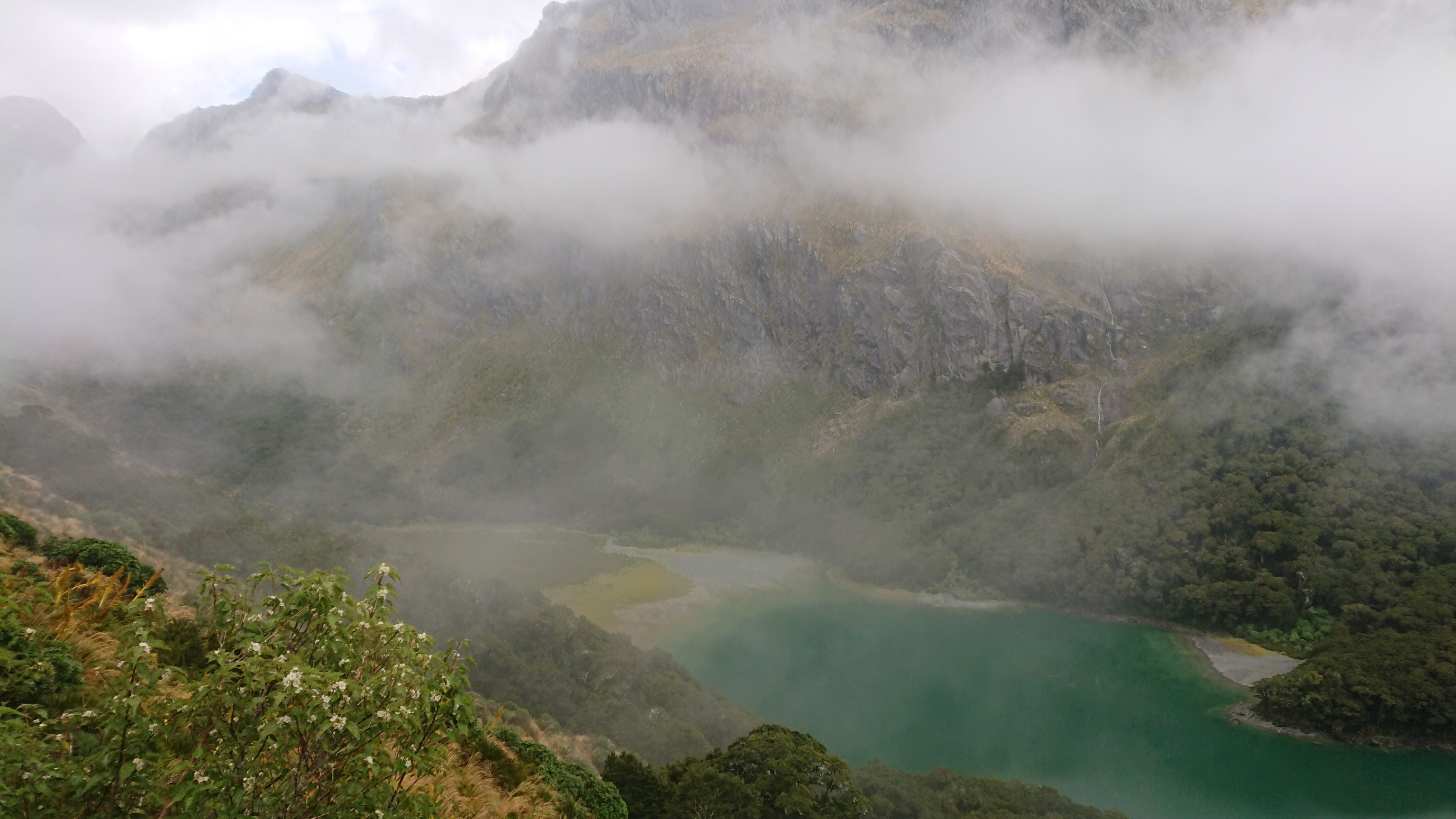
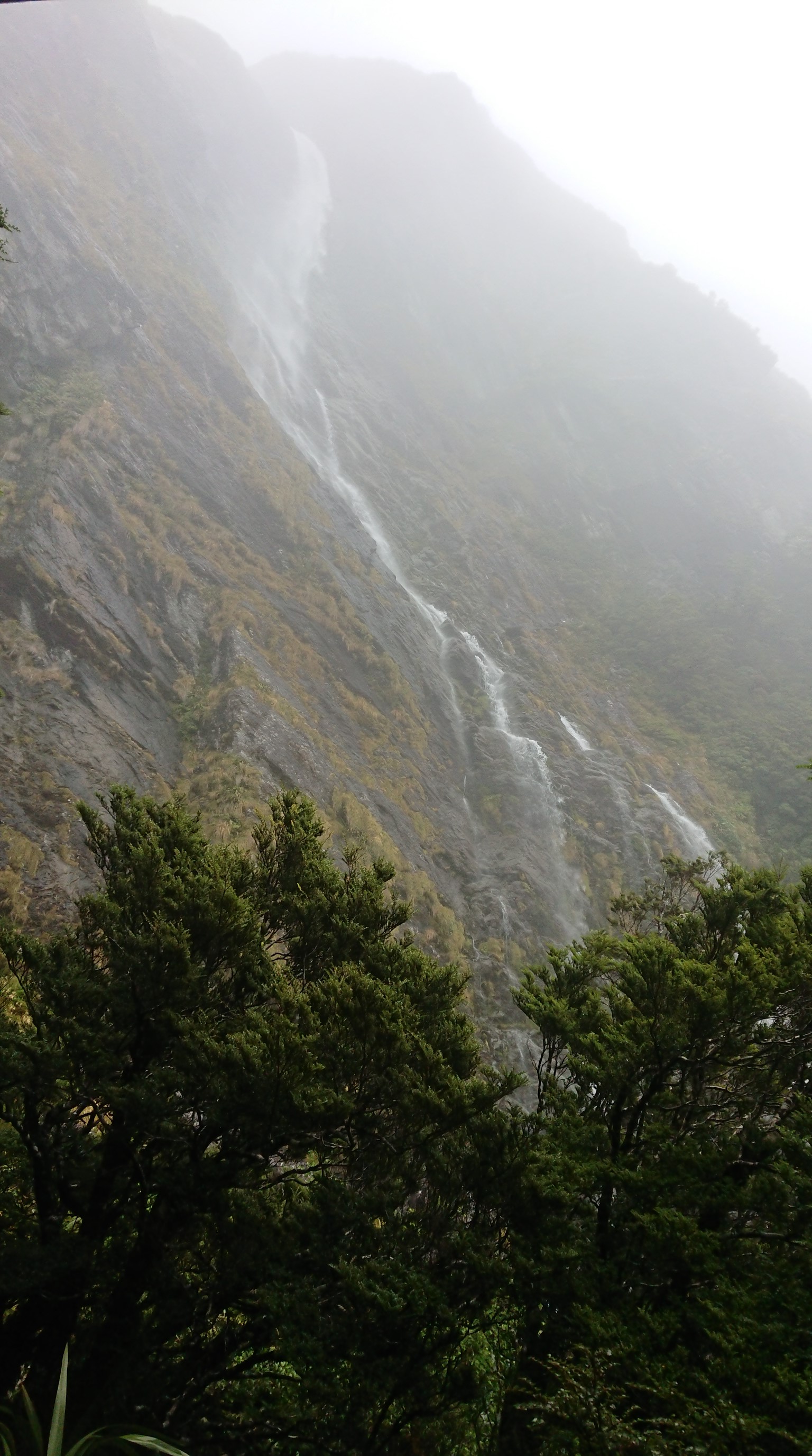
Once the storms arrive, I hike non-stop to the end of the Routeburn Track, and pass a very impressive Earland Falls along the way.
From the terminus, I turn onto the Greenstone Track, and hike for 6km in steady rain to the McKellar Hut.
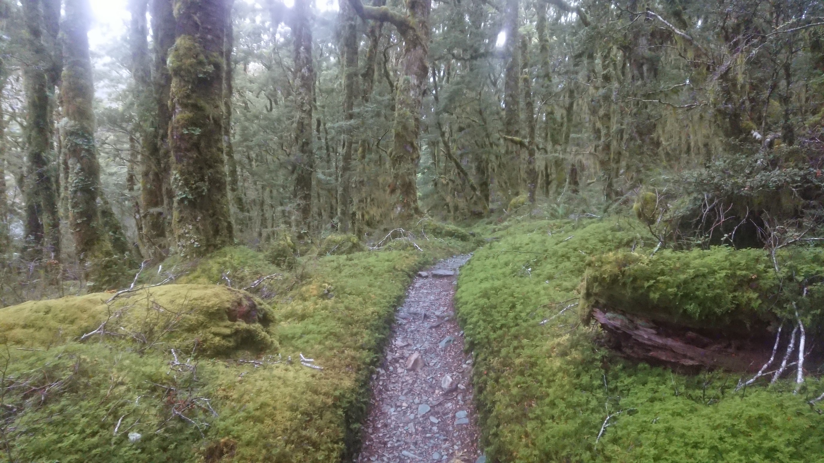
I arrive at 7pm soaking wet below the waist (I have an umbrella), and dry out in the huge hut. There are only 6 other hikers here, and it’s built for probably 24 people, so spacious! I have dinner at 8pm, and pass out at 9:30pm after a very tiring day.
Day 107: Tuesday February 19th, 17.8mi/28.6km
McKellar Hut (**/620m) to Greenstone River (2680.3/482m) to Taipo Hut (2690.4/720m) + 18.5 Greenstone Track
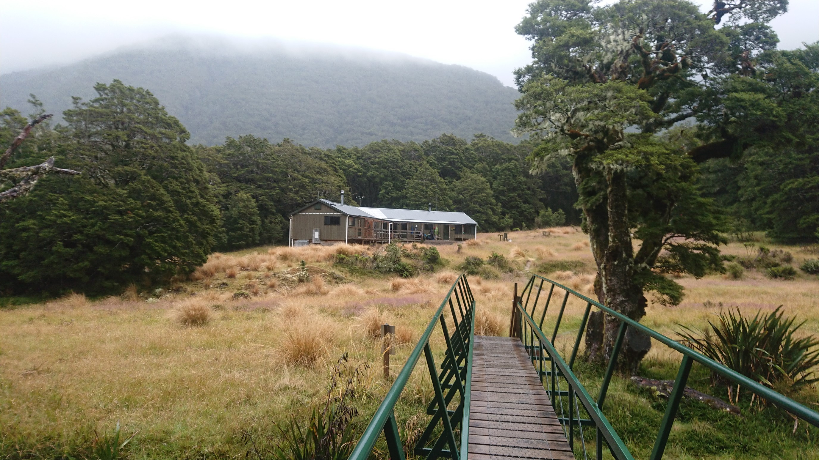
I get up at 7am, and get hiking at 7:30 with my raincoat and umbrella on. Looking back at the hut:
It’s raining lightly, but steadily. It’s a nice trail and I cruise all morning without really stopping.
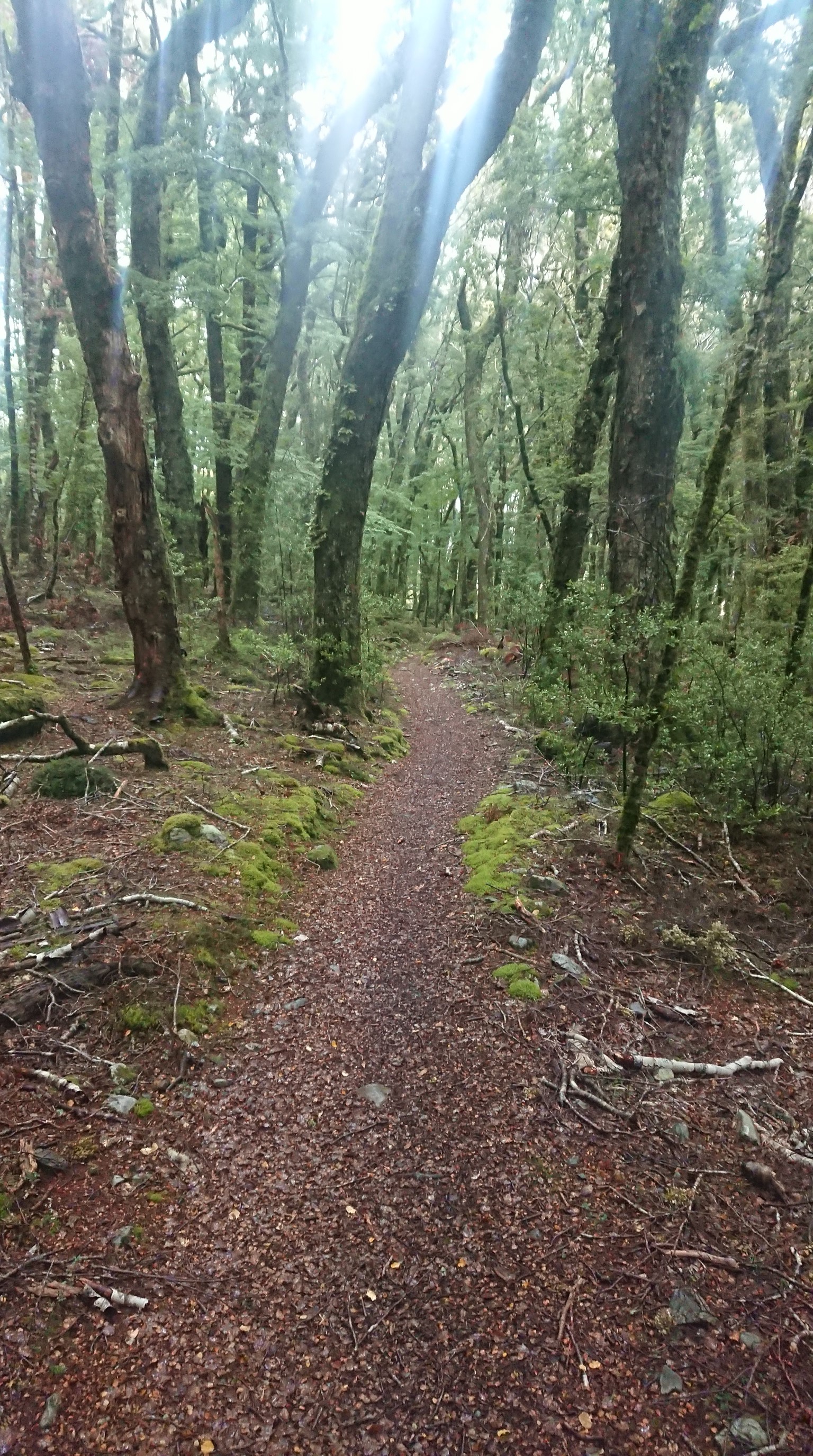
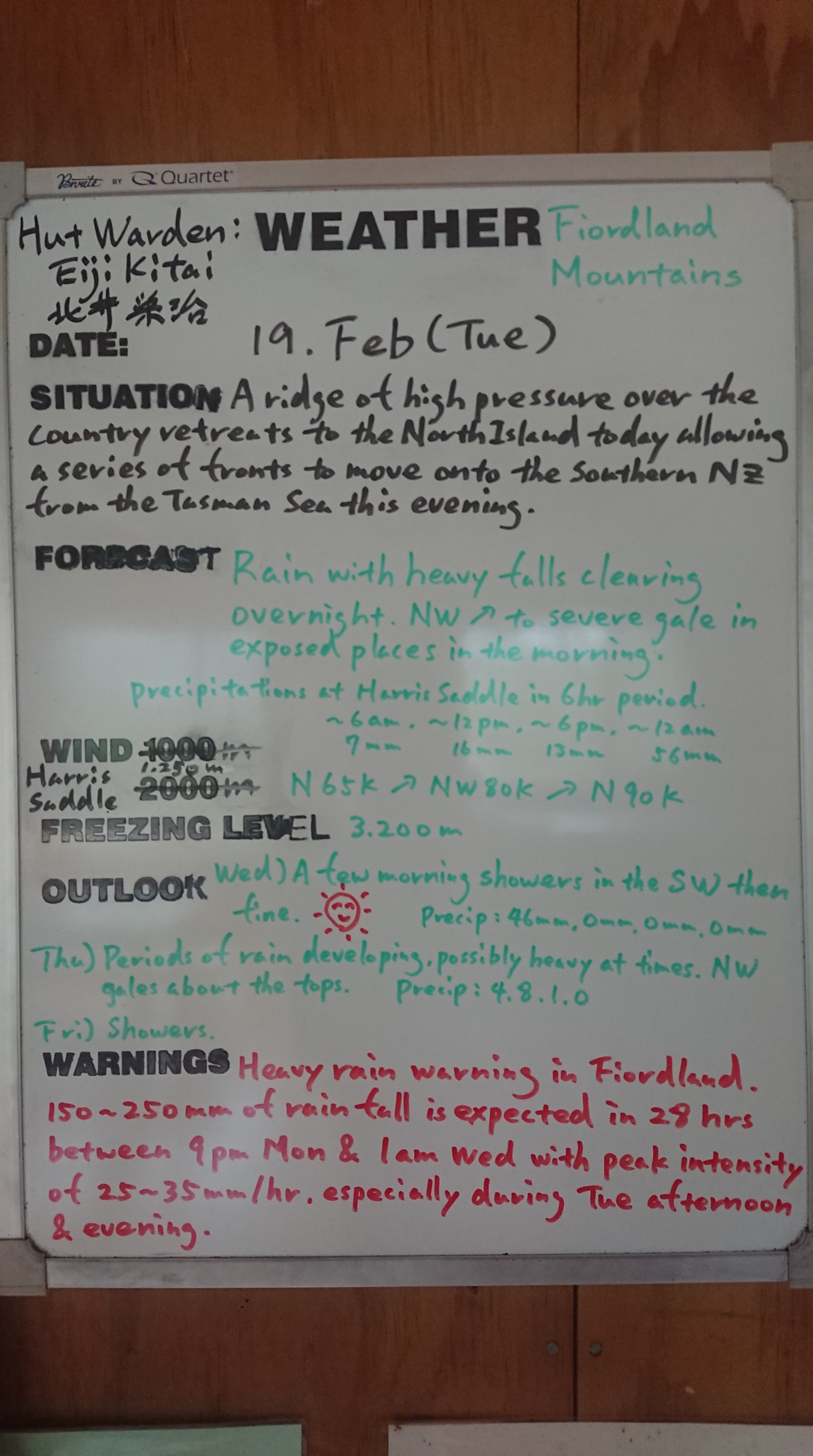
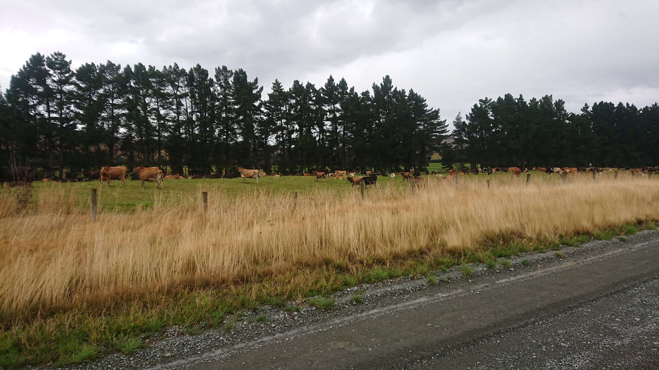
The valley is beautiful, and there are cows everywhere. I get to the Greenstone River crossing, which means I’m leaving the Greenstone Track and re-joining the Te Araroa! I cross on the swingbridge, and get to the nearby Greenstone Hut at noon. I take my time and enjoy lunch in a huge empty hut. I chat with the hut warden, Eli, and he has hiked the TA last year! He also fills me in on the weather forecast…
I finish my wrap and snacks, and head out 40 minutes later, just as the couple from the hut last night are arriving. I climb the easy 200m to the saddle, and then promptly get lost in swampy tussock. The GPS track is off frequently here, and I eventually learn to ignore my phone.
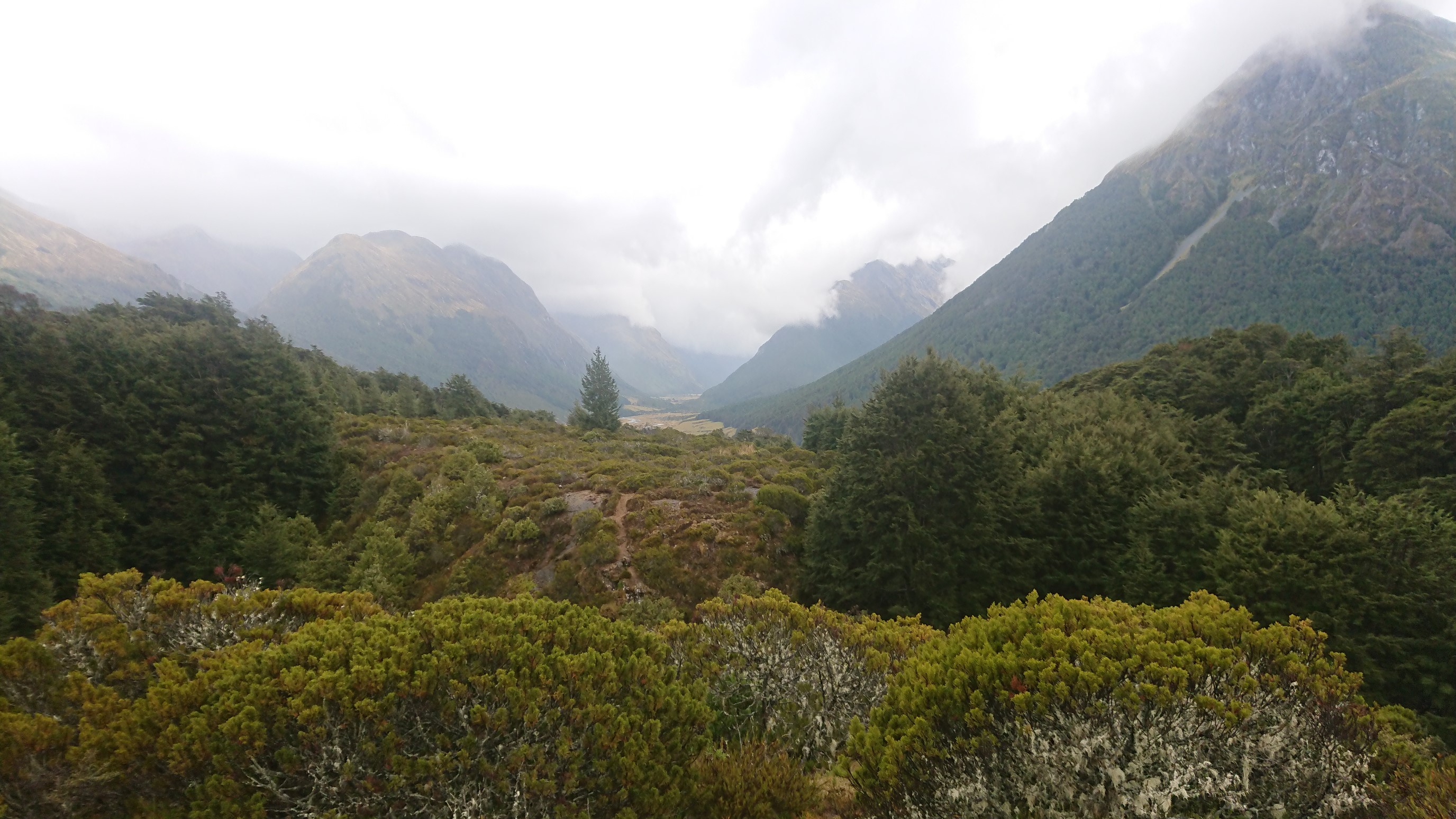
I arrive to Taipo Hut at 3pm, and two other guys are there on a long weekend trip. They discuss their adventures, we share some whiskey, and spend the afternoon sitting around in the sunshine. I have dinner with them at 6:30pm, we swap some more stories, and I’m in bed at 9:30pm.
Day 108: Wednesday February 20th, 25.4mi/40.8km
Taipo Hut (2690.4/720m) to Campsite by Mararoa swingbridge (2731.2/563m)
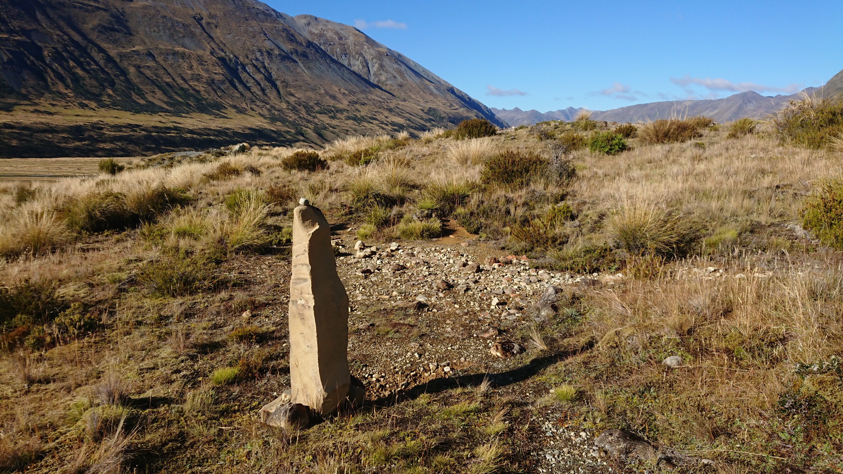
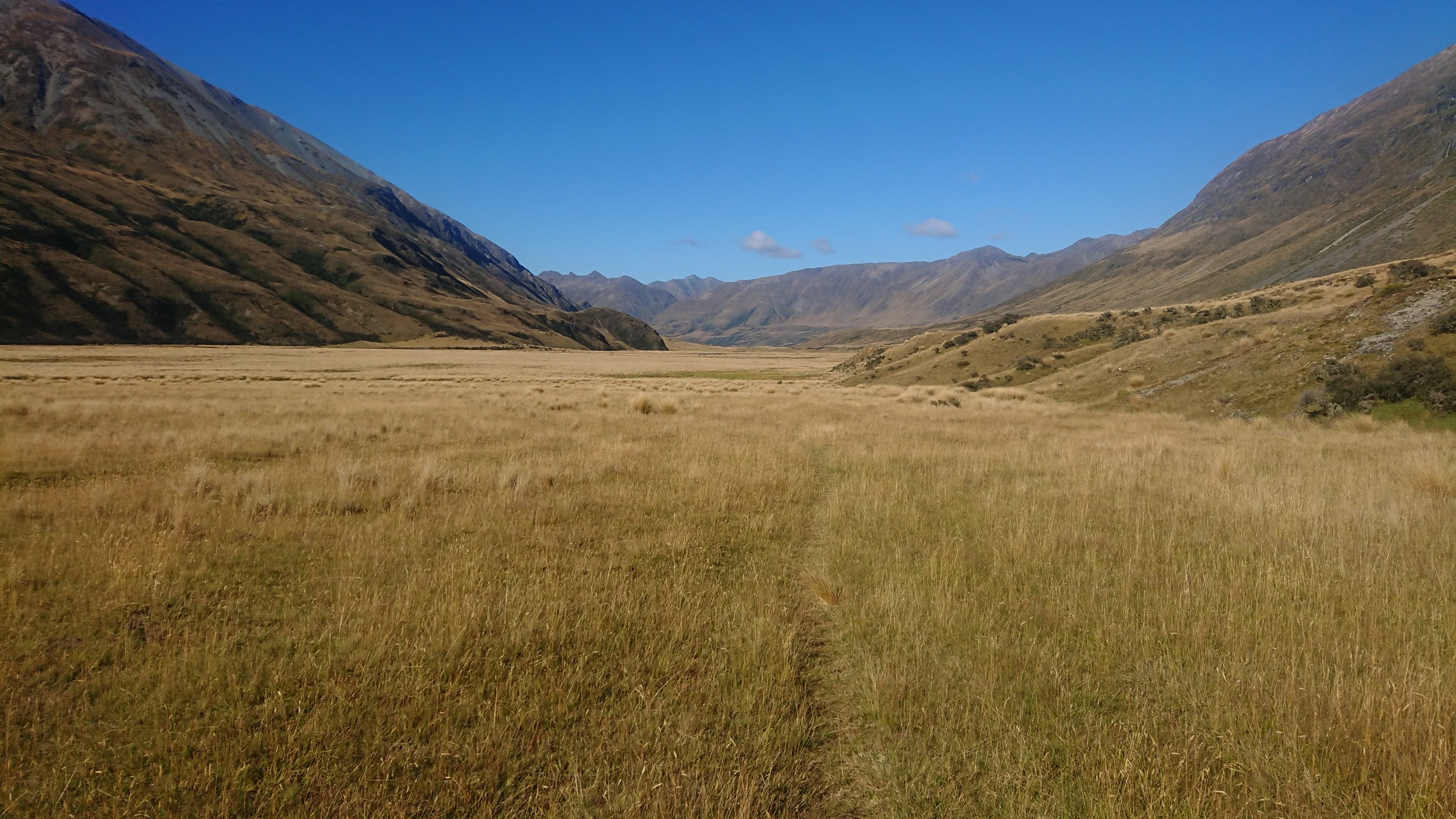
I get up in the dark, at 6:45am, and pack up quietly, as the other two guys are still sleeping. After I finish packing and eating breakfast, they are awake and we say good-bye. I hit the trail at 7:30am, and the first 12km to Boundary Hut are thru fields and some tussock.
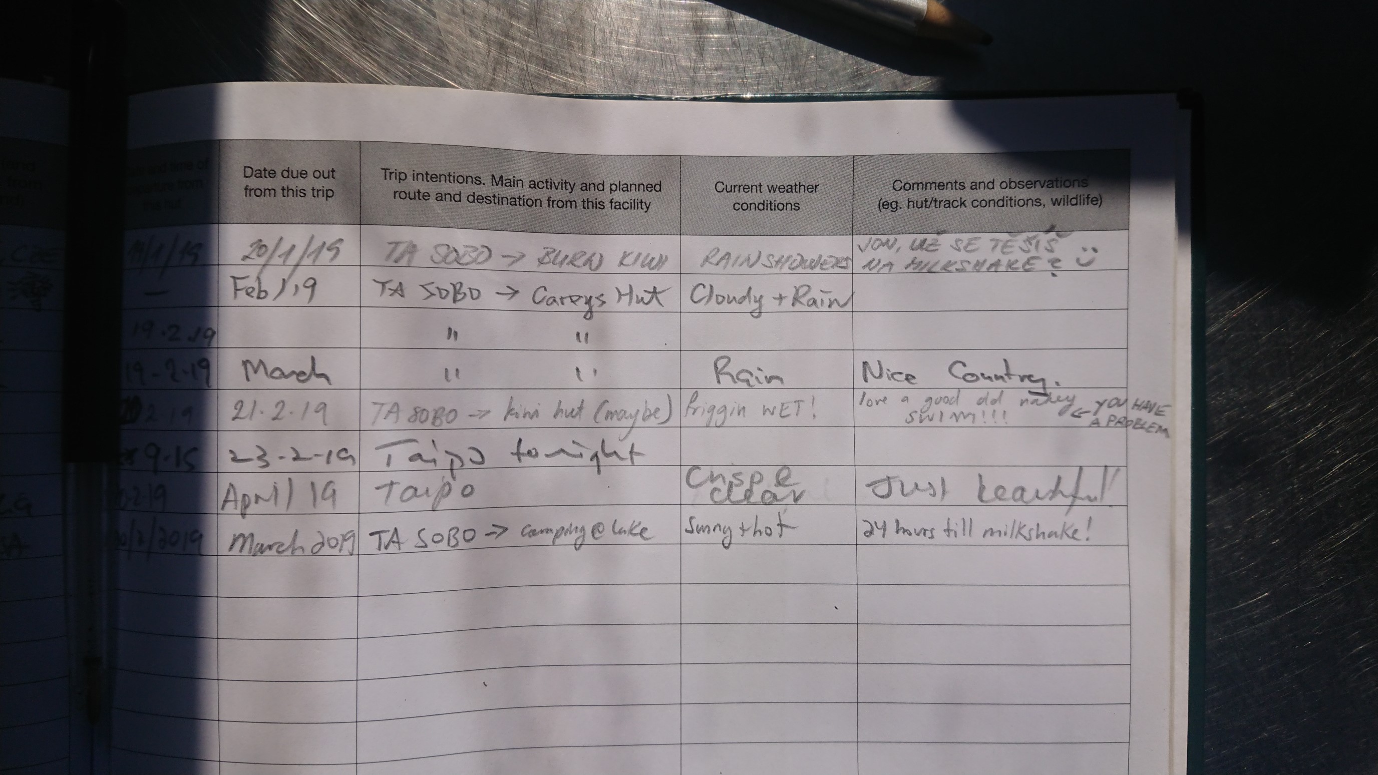
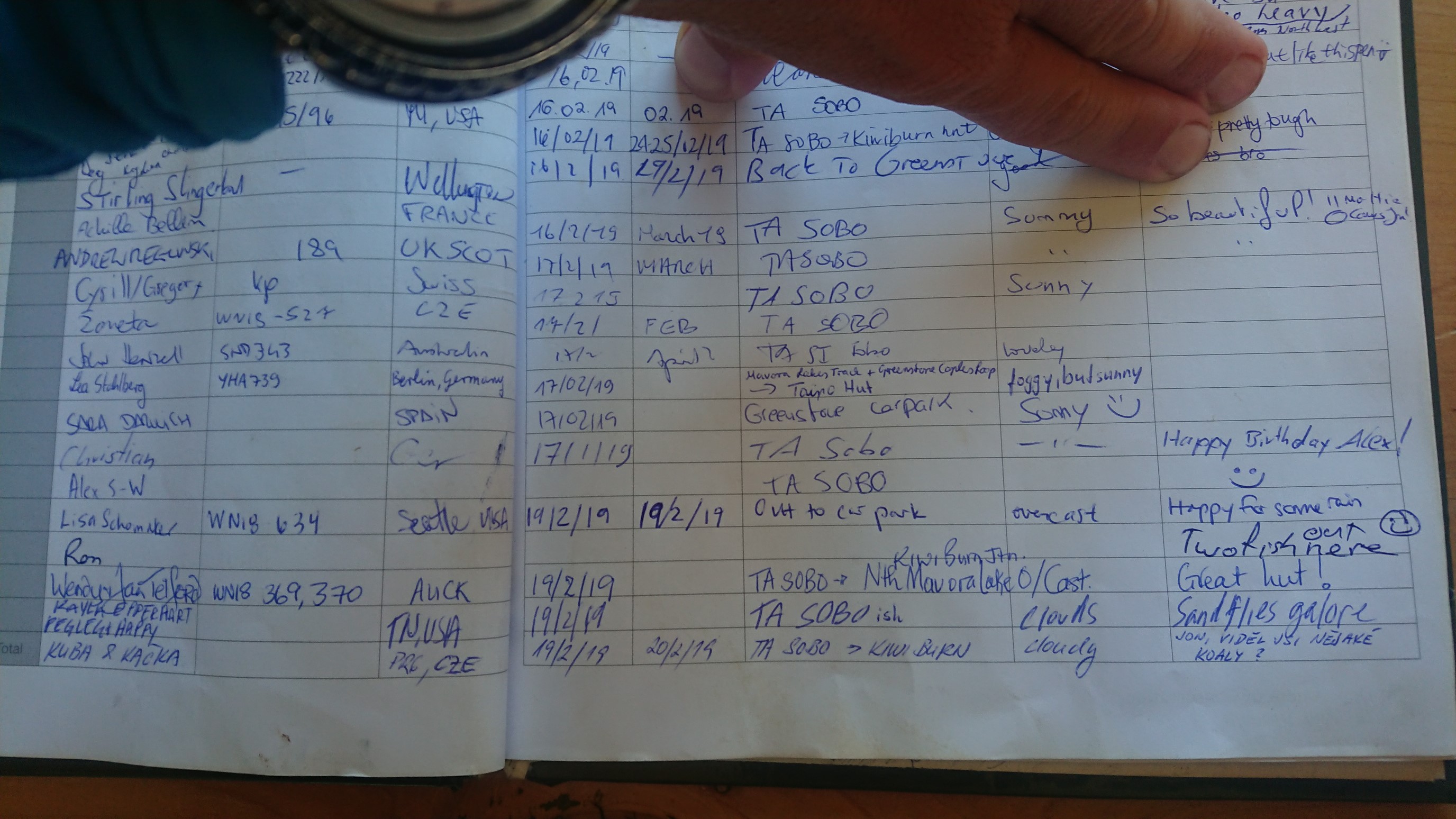
Some of the stream crossings are sketchy, since it rained so much last night. I make it to Boundary Hut at 11am just in time to use the toilet, and then read the Hut logbook. I love that my friends leave me notes! (in Czech)
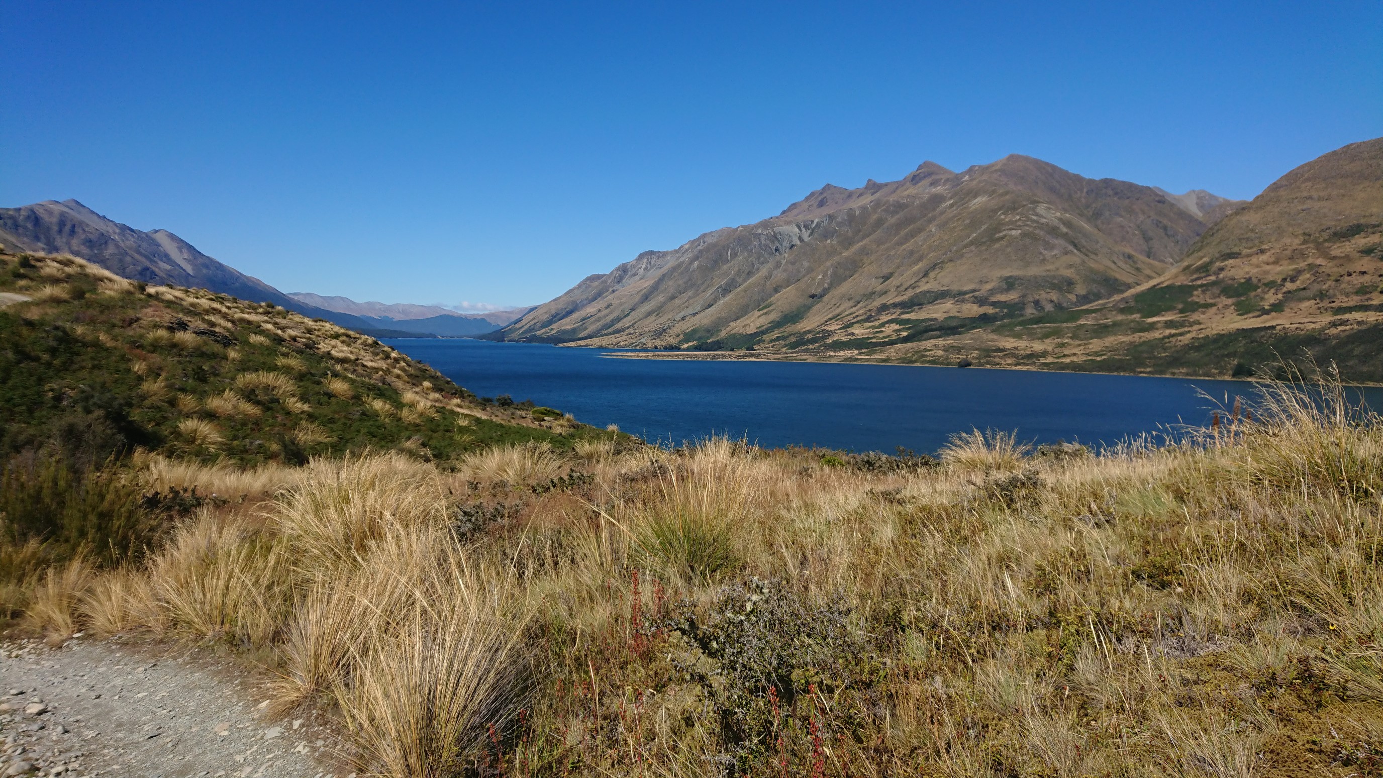
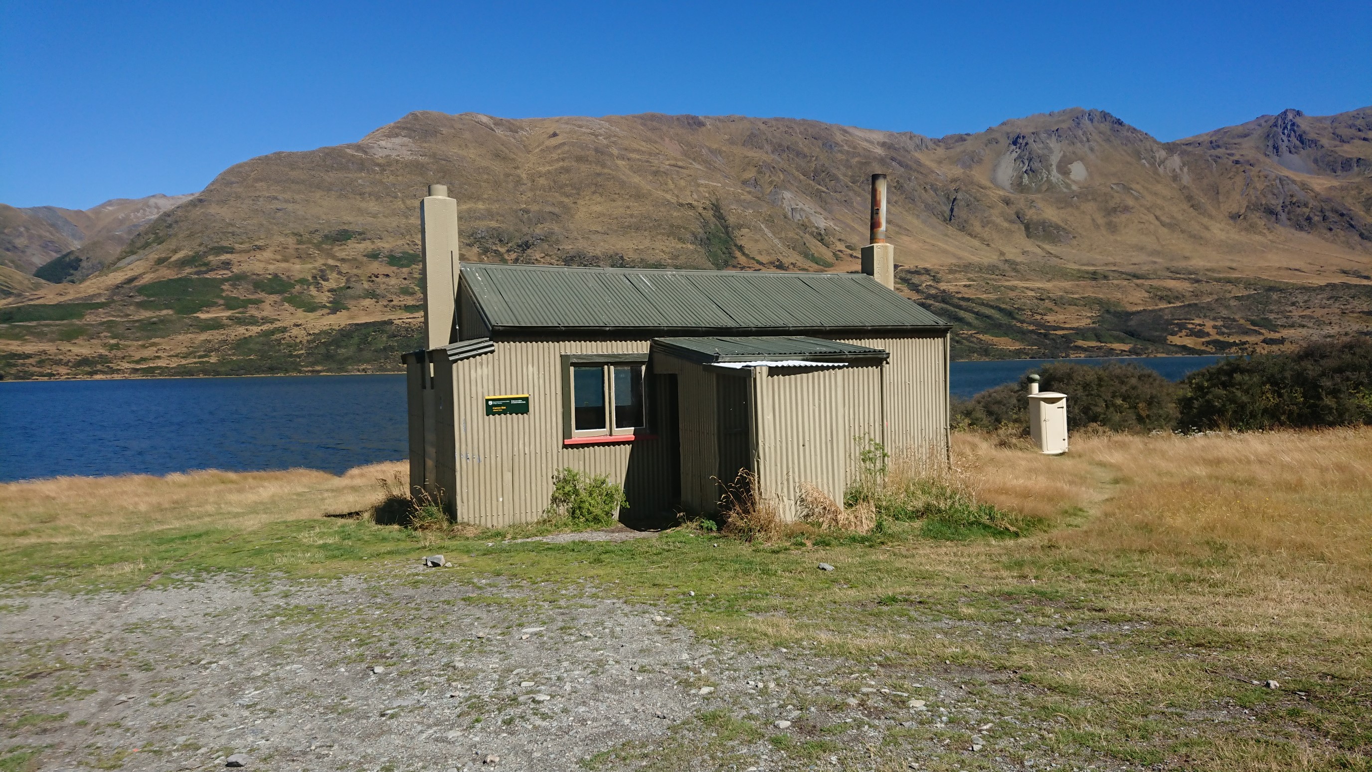
I continue onwards to Carey’s Hut, where I stop for a 30 minute lunch. It’s a very nice spot, right next to North Mavora Lake.
More notes from my friends!
As I’m leaving, a hiker shows up, and he passes me an hour later on the 4wd track. It’s an uneventful and relaxing afternoon, as I walk along the lake. I arrive to the trailhead and Mavora Lakes Campground a couple hours later.
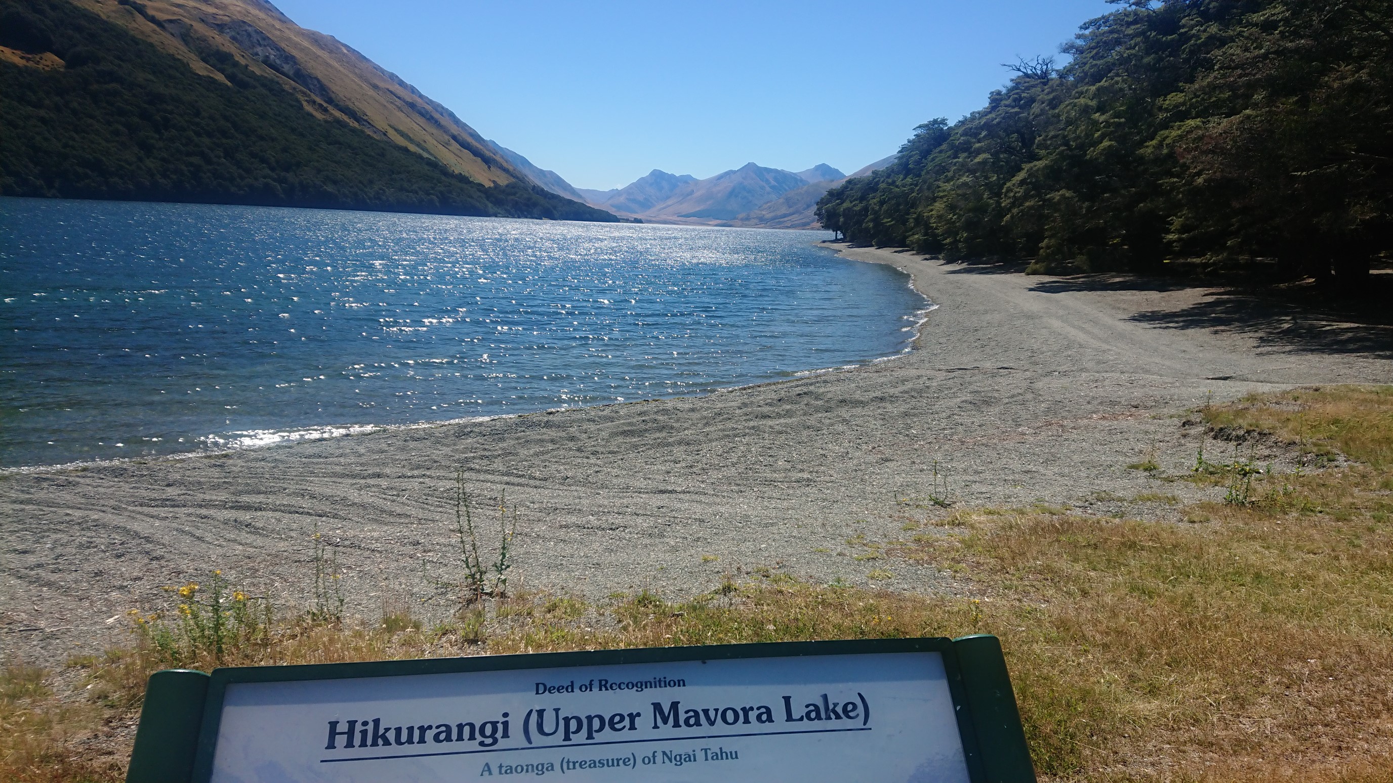
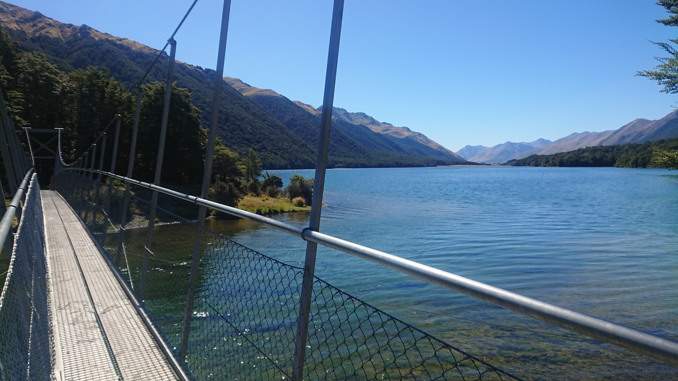
There are heaps and heaps of people camping here! I cross the outlet of the lake on a long swingbridge, so fun!
It’s a beautiful day, so I keep going on the Mavora Walkway, which leads me into a cool forest – it looks like Fangorn Forest!
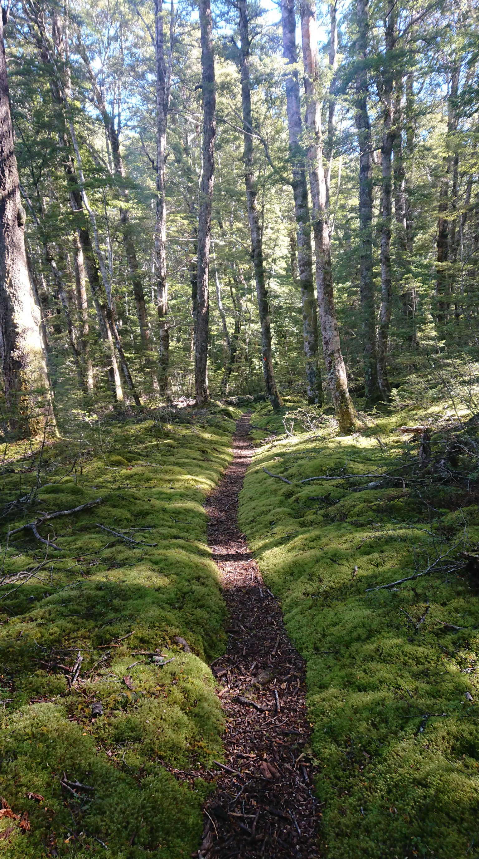
I enjoy the forest walk for a couple hours, then at 6pm I stop and setup camp by a swingbridge. The Mararoa River is high, so I’ll probably have to cross this bridge tomorrow morning and walk the road, since the normal track requires a river ford.
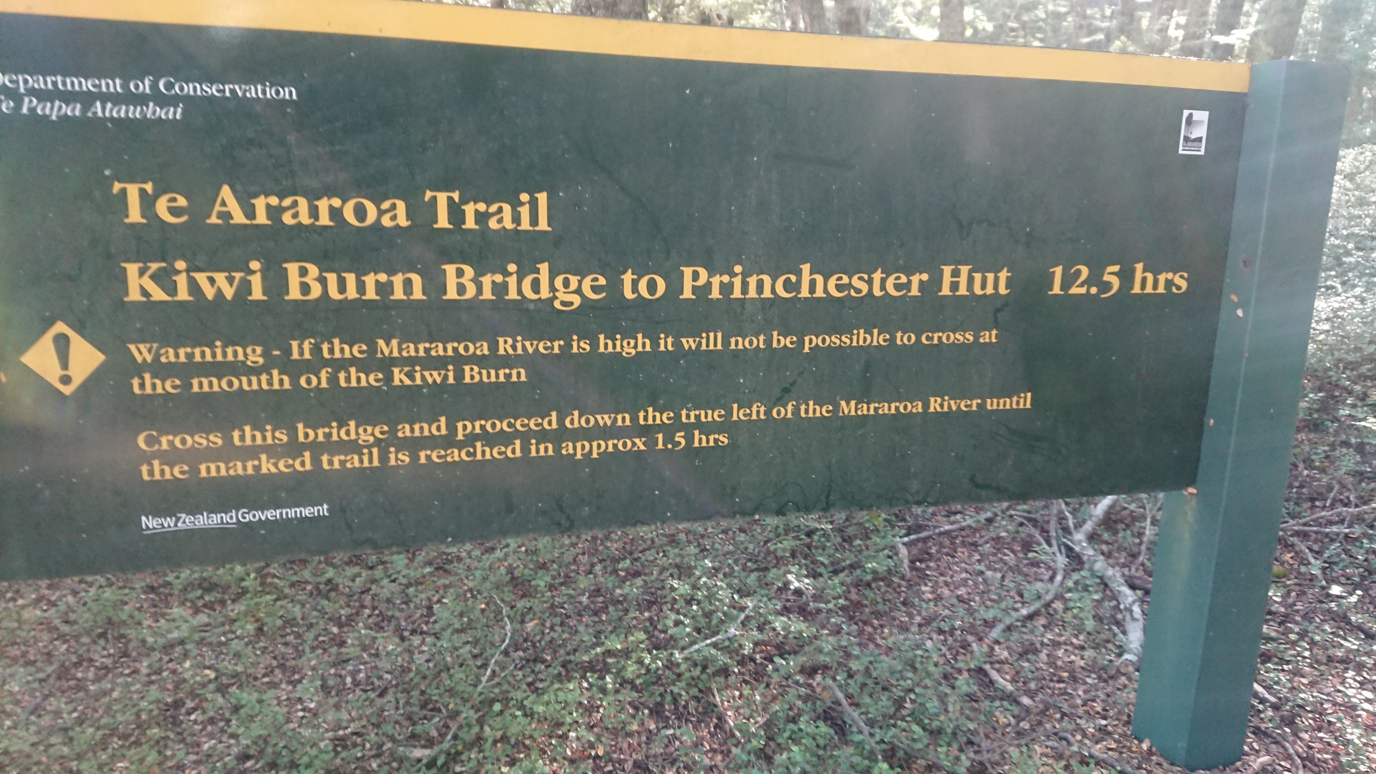
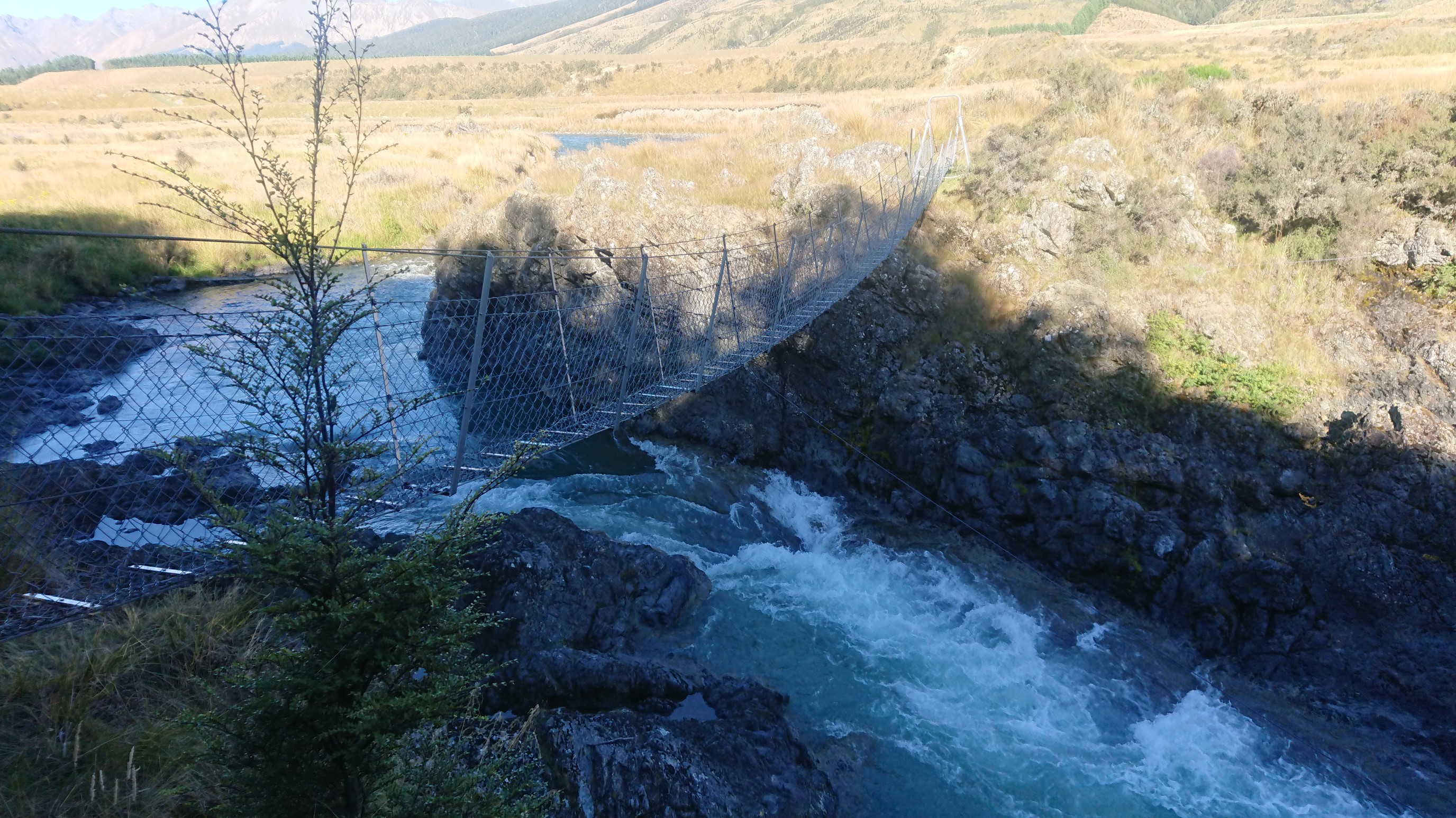
After eating my last dinner (tomorrow is a town day!), I relax in my tent and fall asleep at 9pm.
Day 109: Thursday February 21st, 19.6mi/31.5km
Campsite by Mararoa swingbridge (2731.2/563m) to Te Anau YHA Hostel (2762.7/211m)
I get up early at 6:30am to the sound of sporadic raindrops! Oh no! I pack up fast, before more rain comes…it’s such a pain to pack up during rainfall. I hike across the swingbridge at 7am, and I can tell there’s no way I’d be able to ford that raging river! I walk the quiet dirt road all morning, only seeing 4-5 cars.
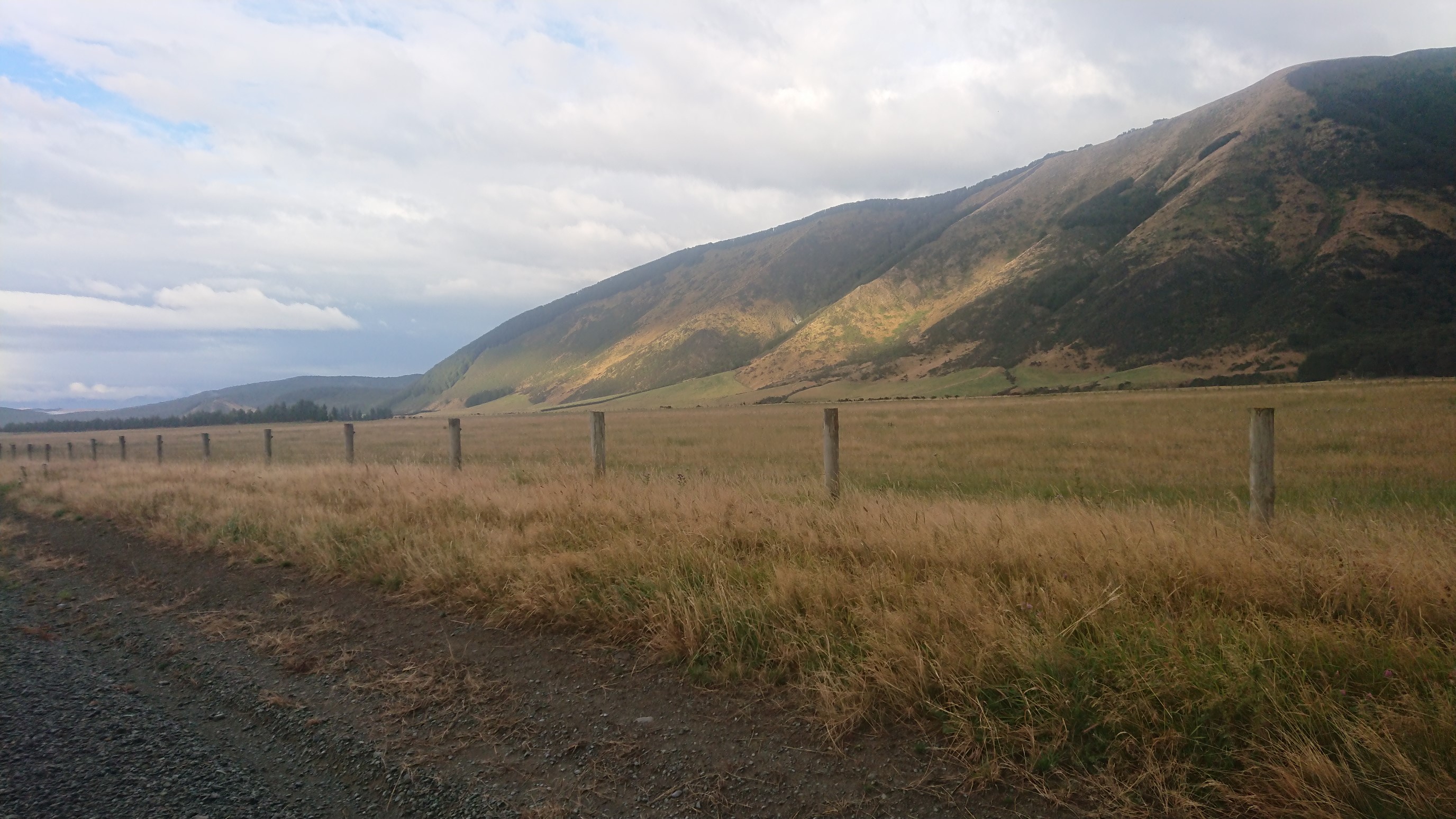
It starts raining at 9am, and continues until 11am. My umbrella is up all morning. It leaks a tiny bit, but still way better than no umbrella! It’s a boring walk, and finally at 11am the rain stops, and I even have a shadow!
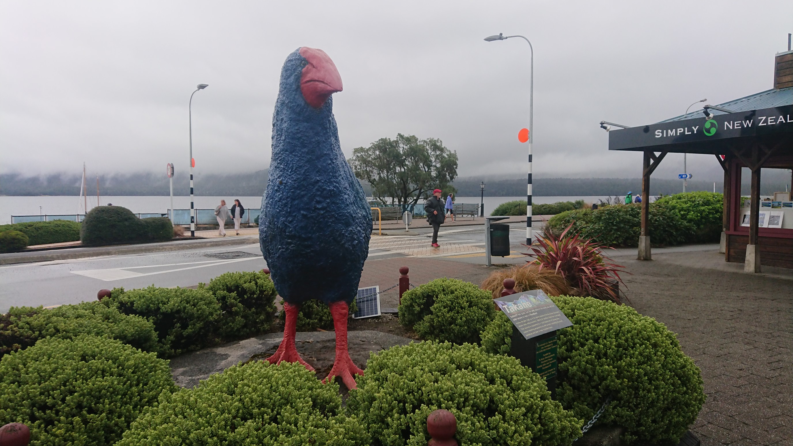
I get to the highway just before 1pm, and walk the 2.5km to the start of the next trail section at Princhester Road. I get a hitch from a guy who takes me halfway, then another hitch from a group in an RV. They are from Delaware – what are the odds, it’s like the smallest state in the US. They drop me off at the “entrance” to Te Anau around 2pm, and I’m greeted by an enormous takahē, which is a flightless bird found only in this part of South Island.
After a nice lunch of salad, fish, and beer, I check-in to the YHA Hostel, and lounge around until dinner. I walk to town for dinner and do my resupply shopping. After a long shower at the hostel, I’m in bed at 11pm.