Friday April 5, 26.1mi/42.0km (25.1 AT + 1.0mi side trail to Mt Rogers)
Lost Mountain shelter (486.6) to Route 603 (511.7) (VA)
It rained steadily all night, and was still raining when I woke up in the shelter. I laid there for awhile avoiding the rain, but finally left at 9am, along with the rest of the group.
It was a rainy, foggy morning, and I used my umbrella all morning.
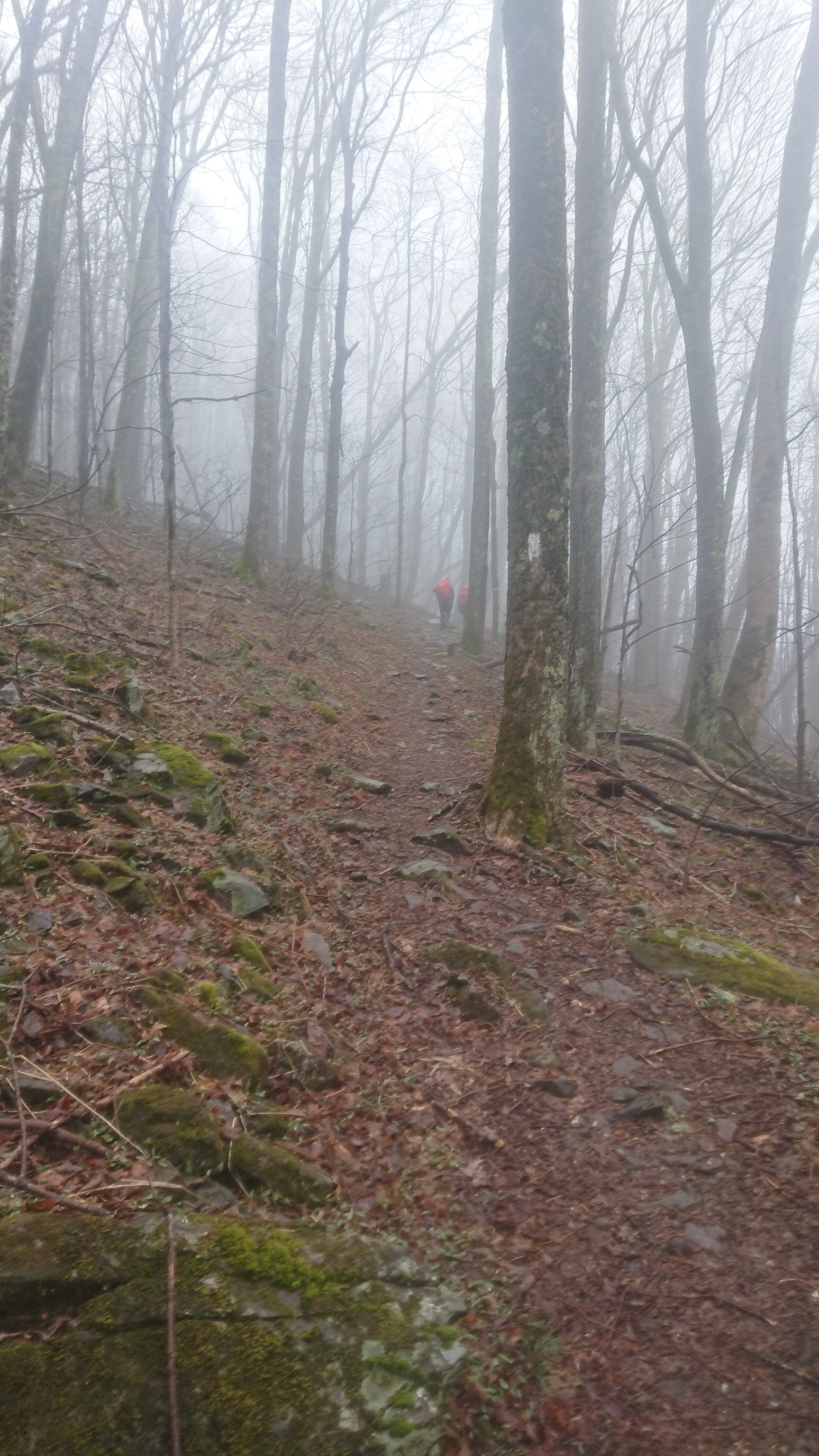
When the trail left the protection of the trees, it was really windy, and the umbrella went away. Bob and Turbo were just ahead.
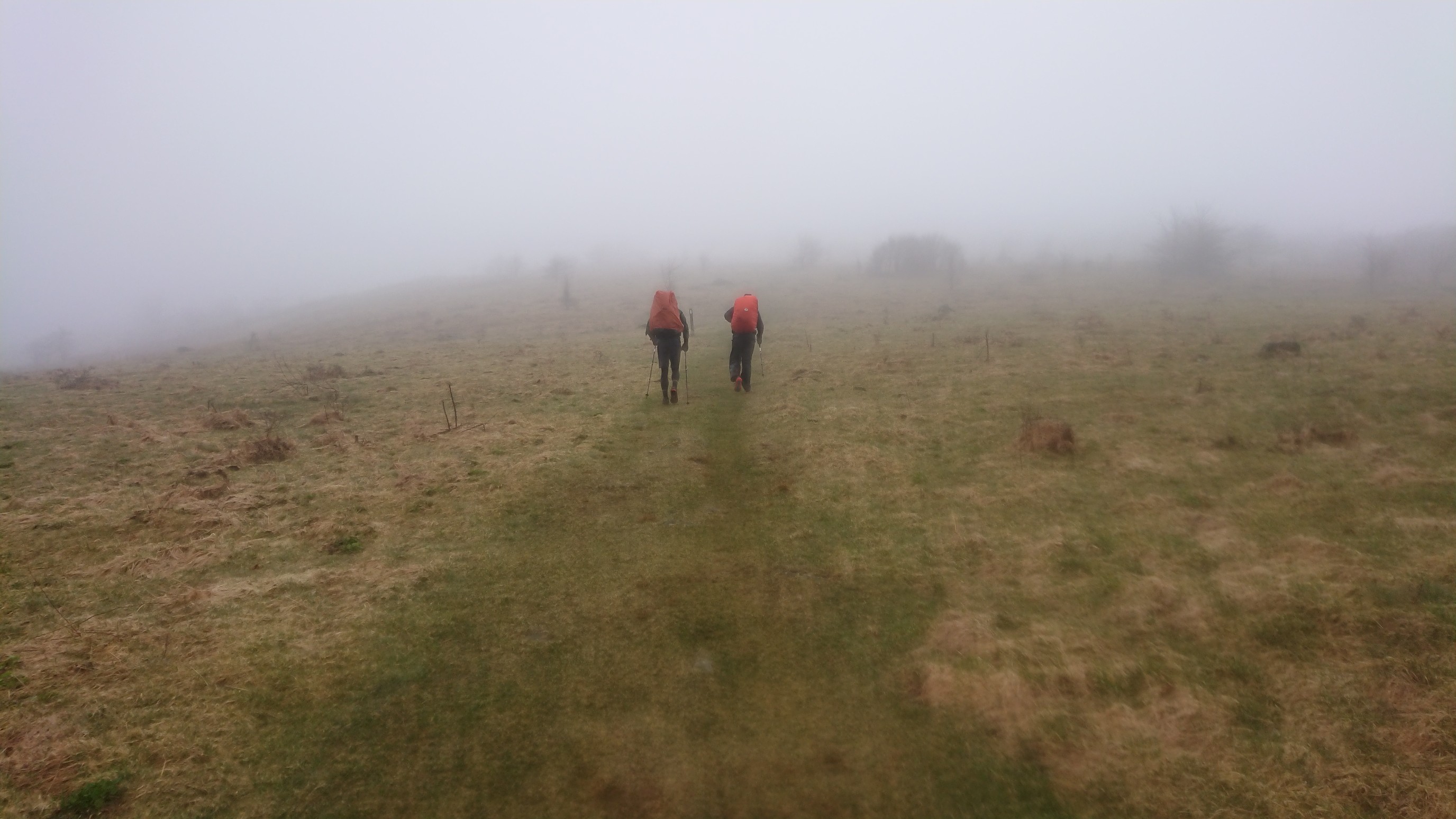
After a big climb, there was a side trail to Mt Rogers (5728ft/1746m), the highest point in Virginia. So of course I had to climb it.
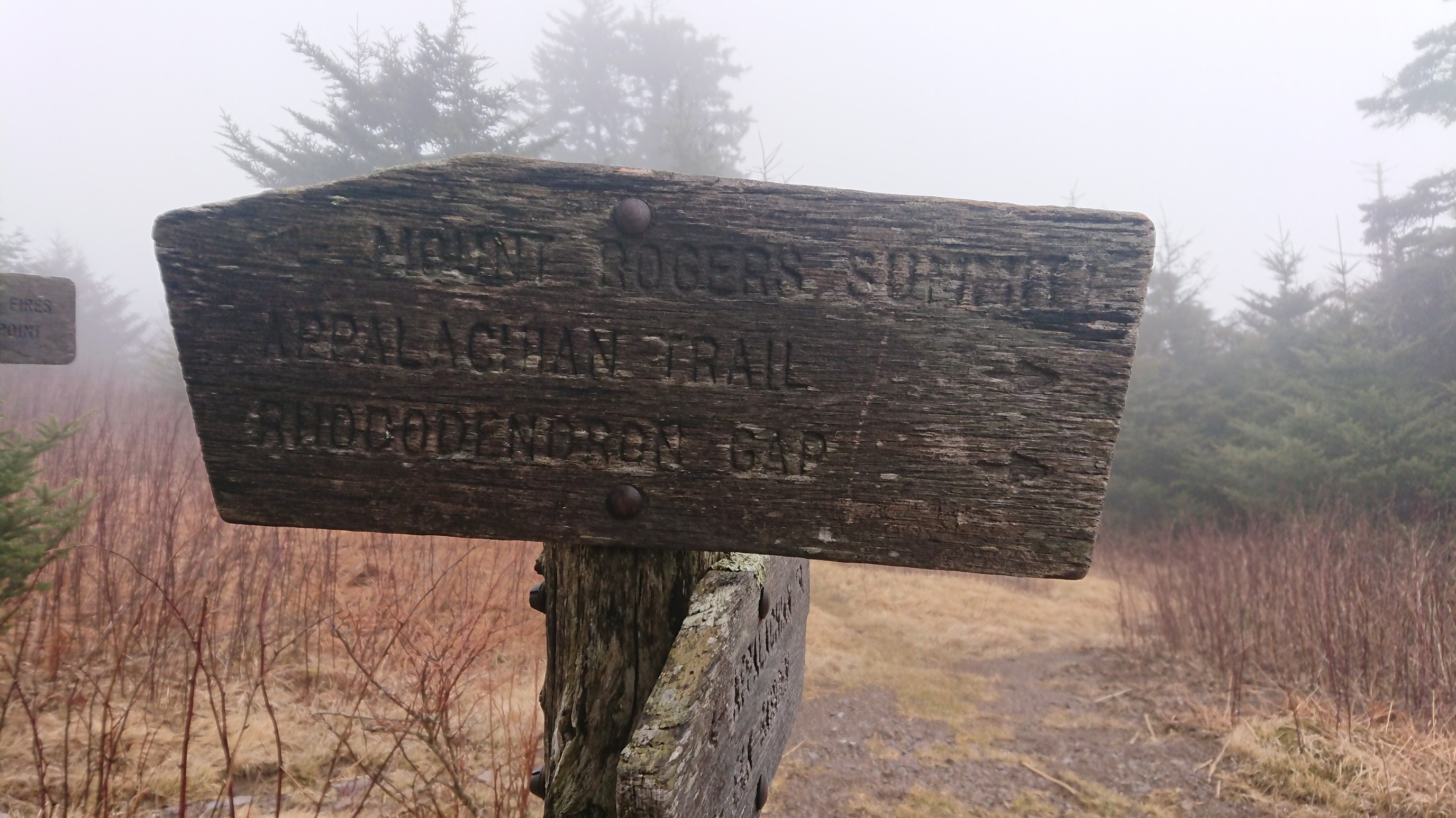
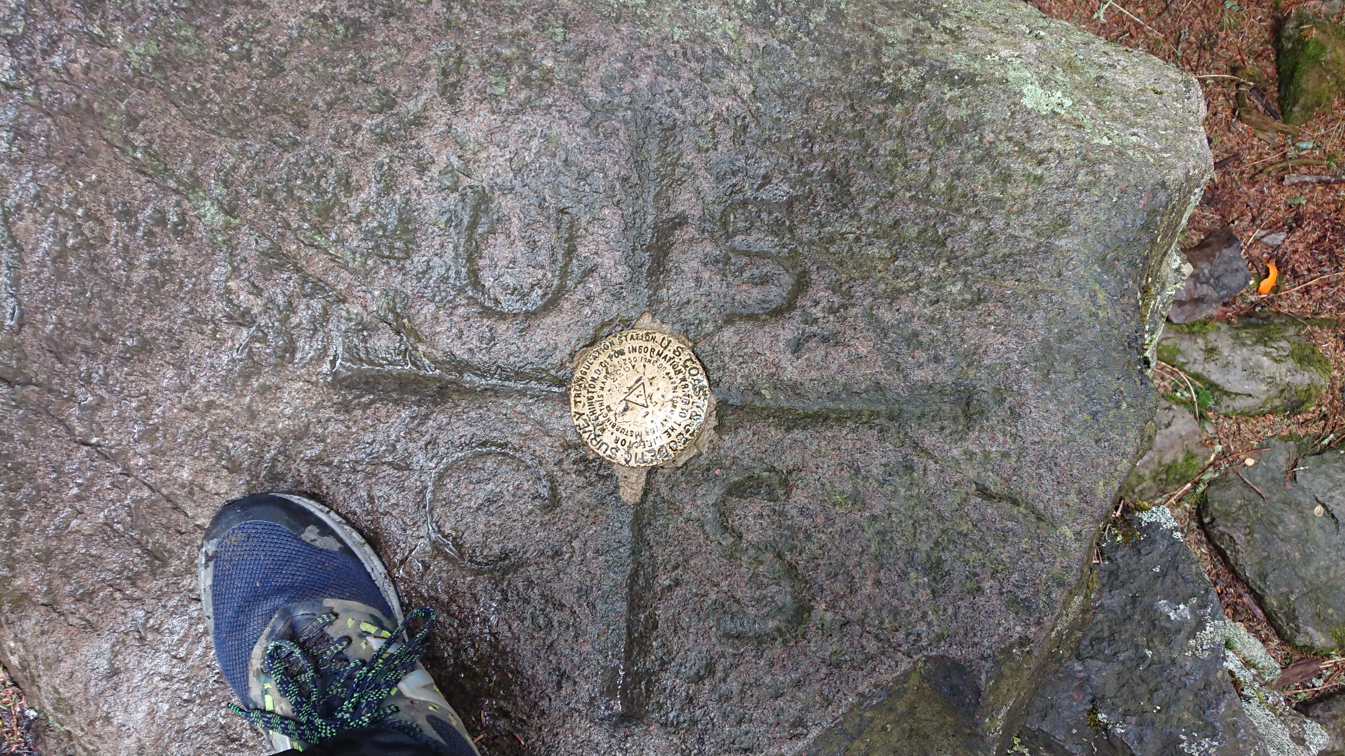
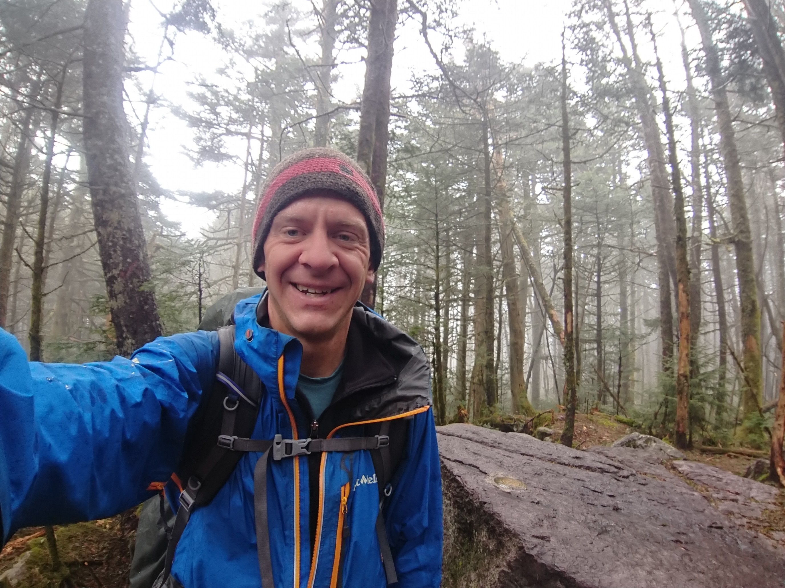
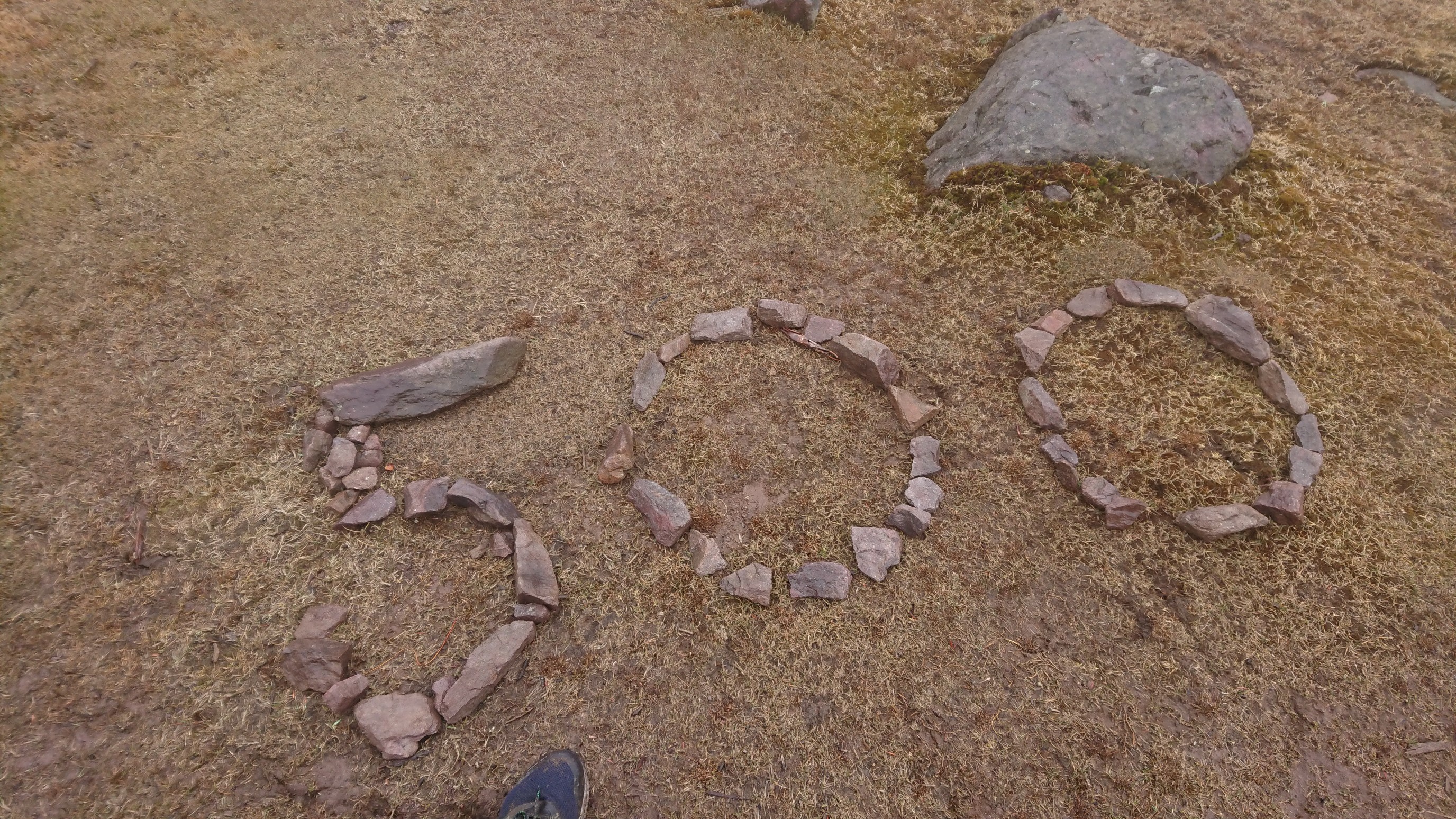
It was an easy half mile side trail, and I was back on the AT within 25 minutes. I caught up to Bob and Turbo, taking a lunch break at the next shelter. And just after lunch, we hit the 500mile mark!
The Greyson highlands are supposed to be known for amazing views and the wild ponies. There are the only views and ponies that I saw….
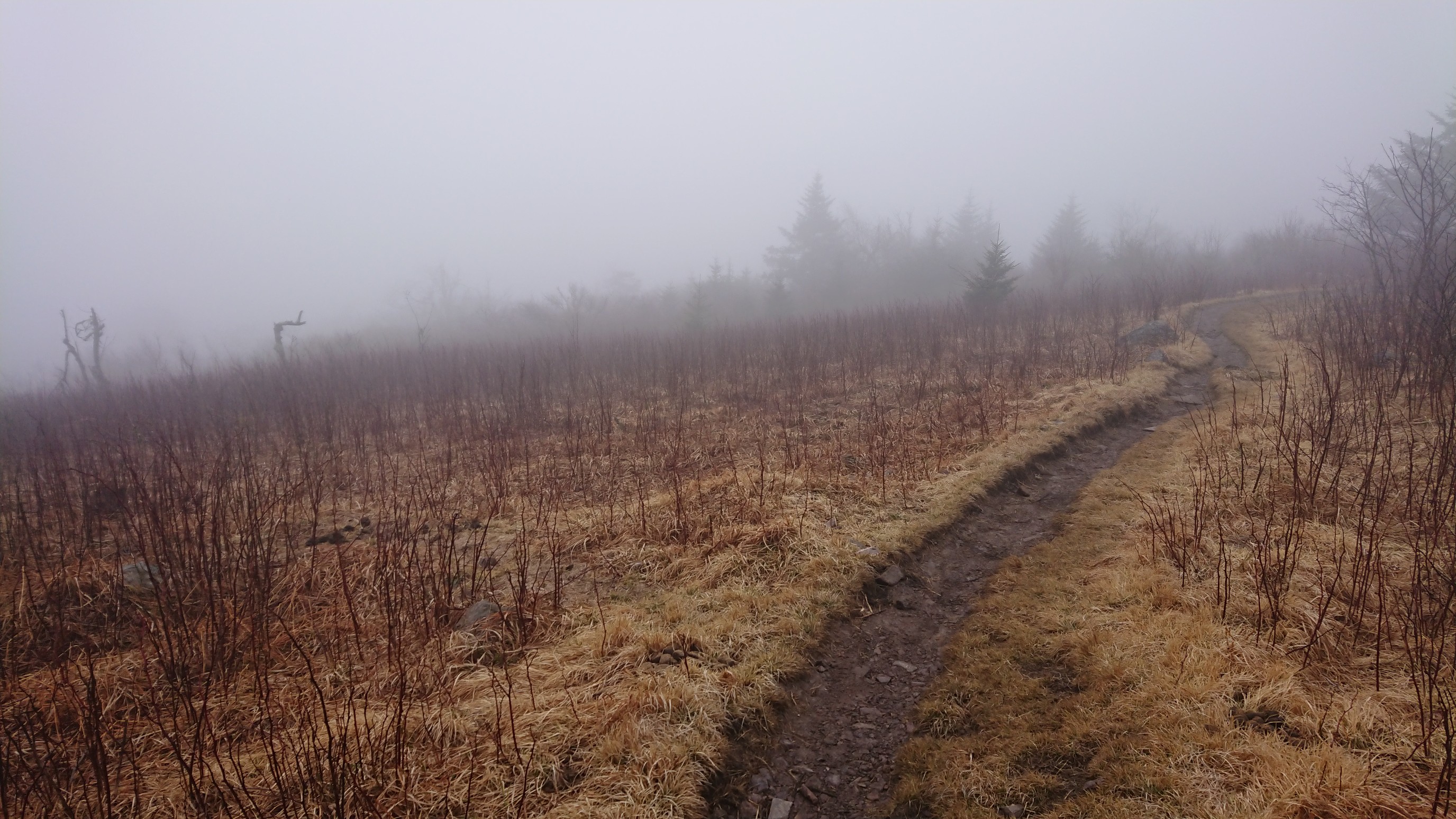
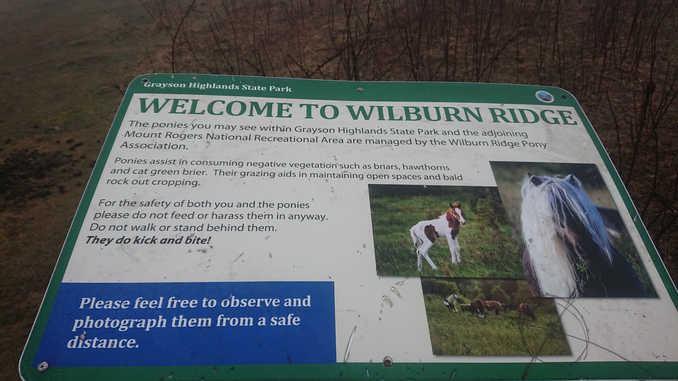
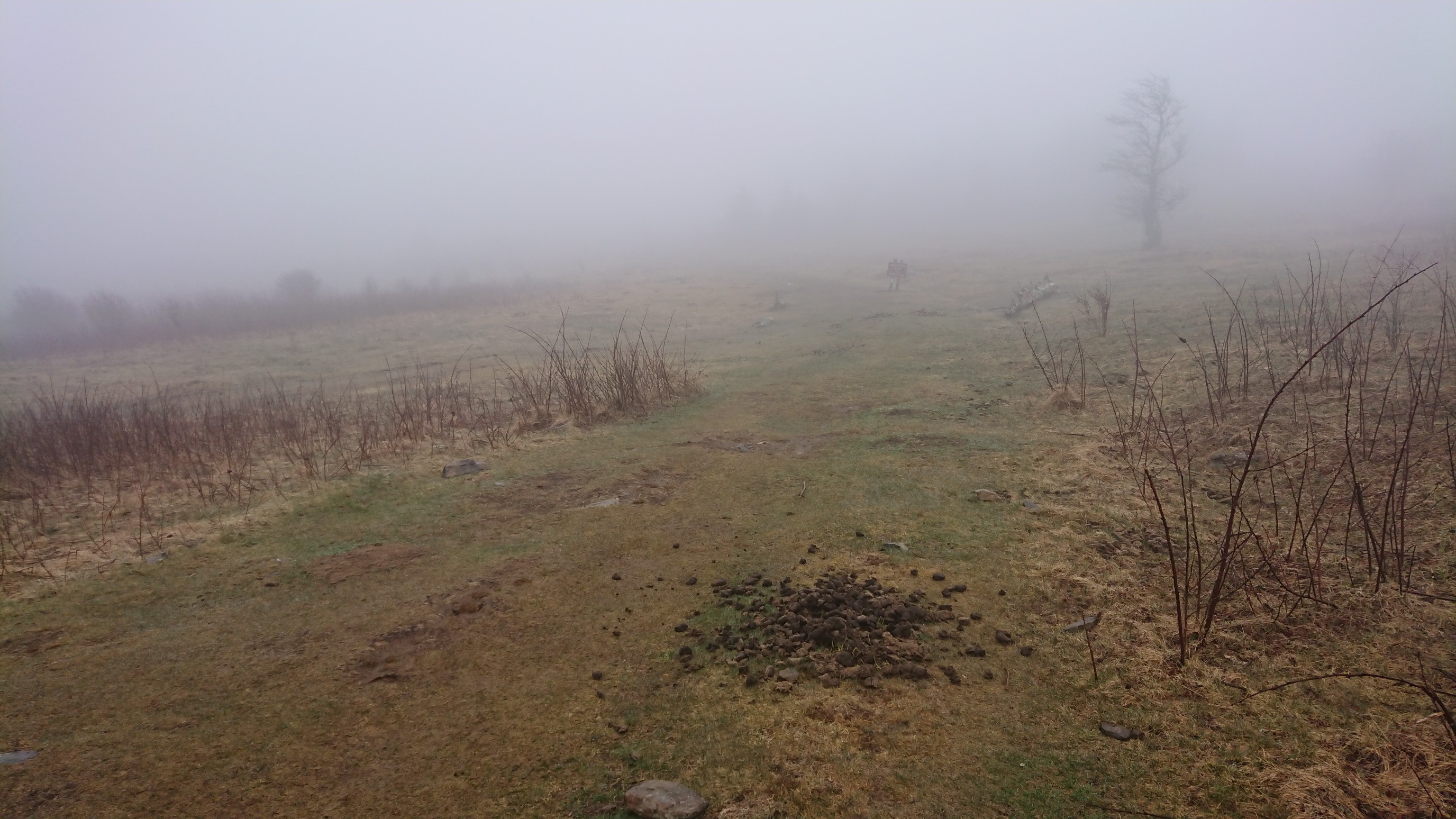
While I was on the ridge, I got a phone signal, and my friend Michele is passing thru Virginia, and we would try to meet up tonight! The next road crossing was still 3 hours of hiking away, and it was 3:30pm. So, onward!
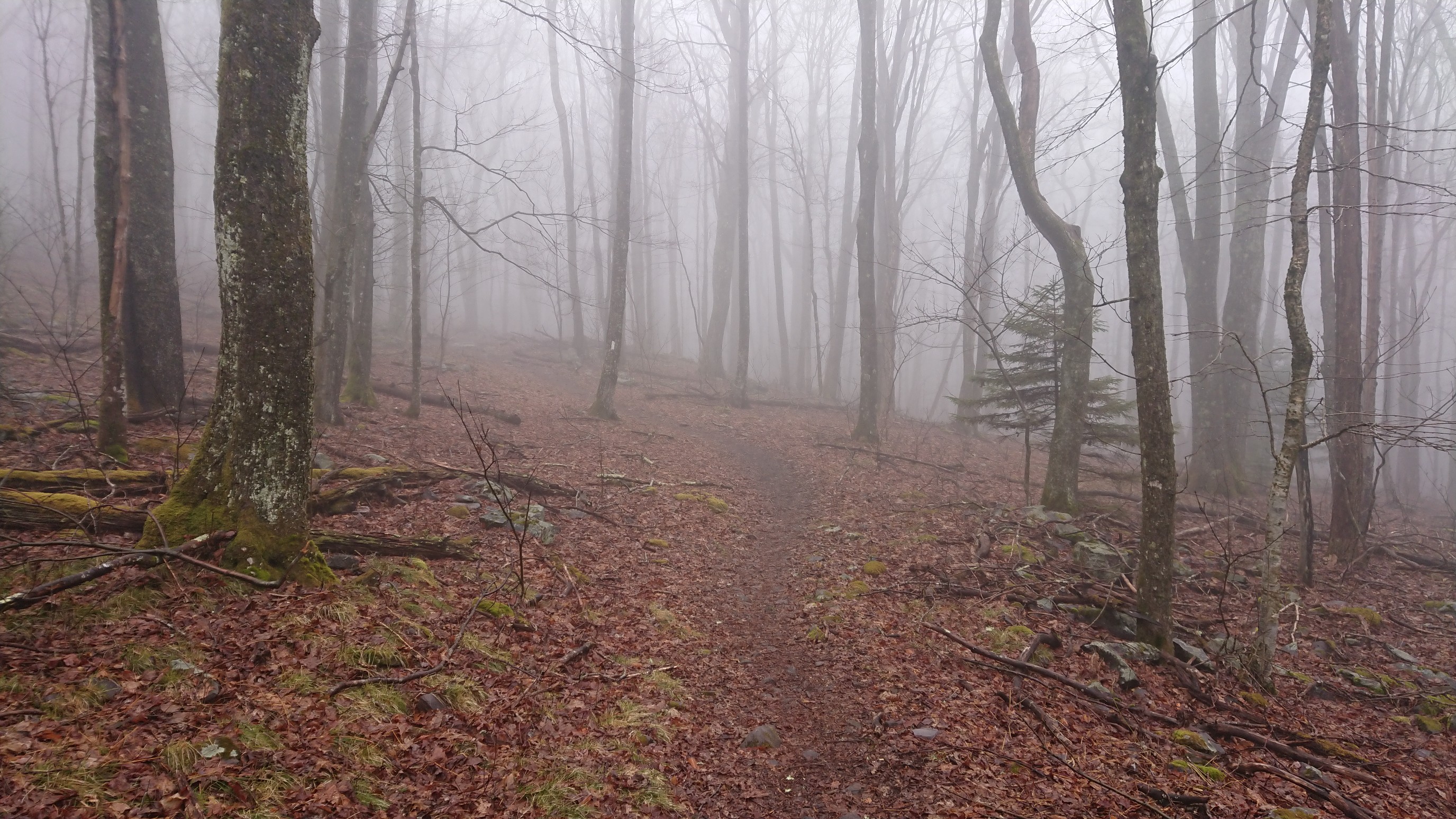
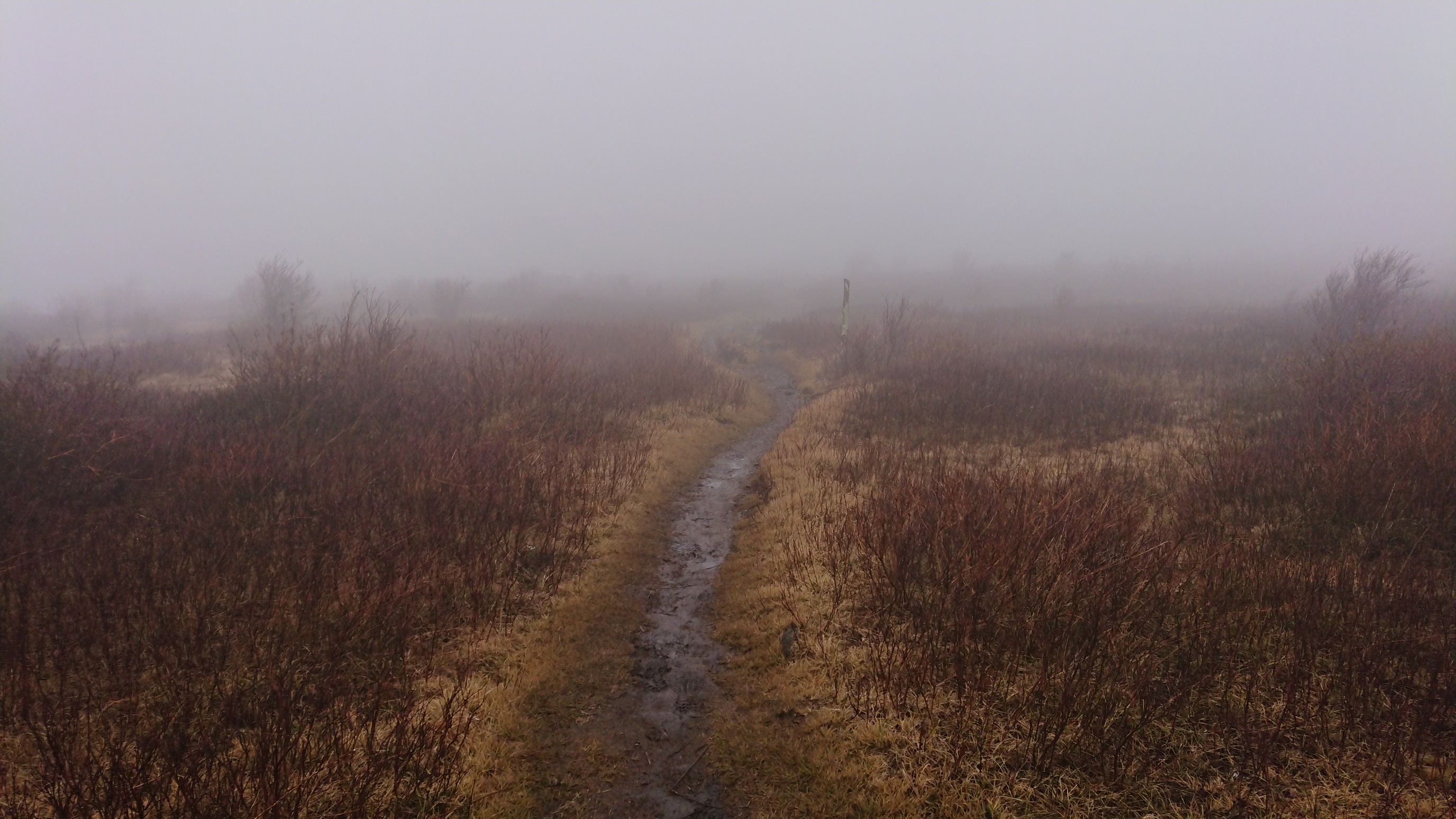
I stopped and made dinner at Old Orchard shelter, then continued on another 2 miles to the road crossing. I arrived just after 8pm, just before sunset! Michele arrived a few minutes later (no photos, it was too dark), and we went to a nearby hostel, Sufi Lodge.
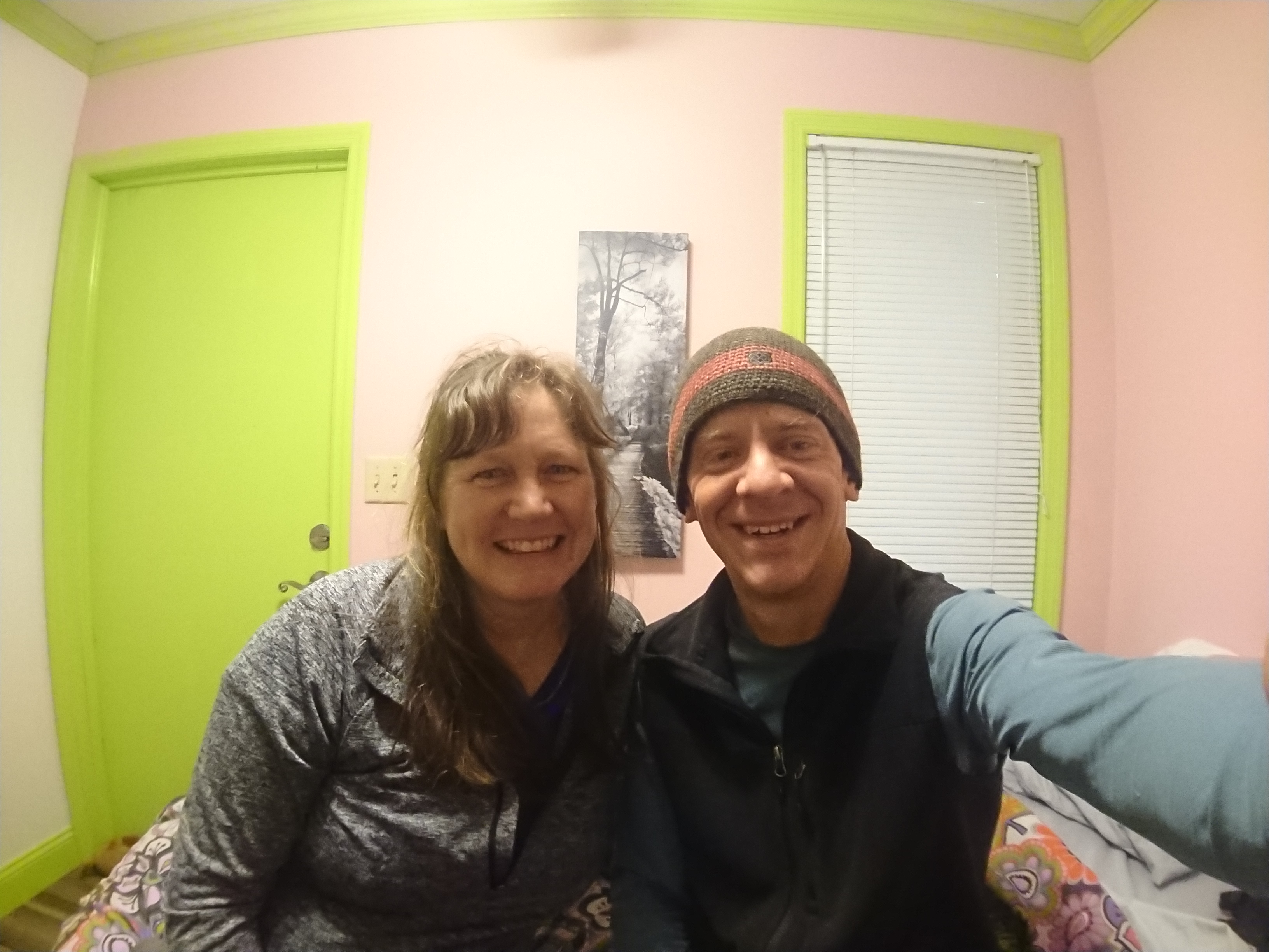
What a great surprise, and I was rescued from the rain. 🙂