Monday April 8, 24.5mi/39.4km
Knot Maul shelter (560.3) to Route 615/Suiter Road (584.8)
I woke up at 7am, and Turkish was already gone. Impressive! I packed up and Noodle and Blue were waking up. They said they usually leave camp at 9am, and they were planning a couple less miles than me, so I said goodbye.The day started off with a big 1600ft/500m climb up to Chestnut Ridge, fortunately it was early morning and still cool weather. There wasn’t much to see until I got up on the ridge.
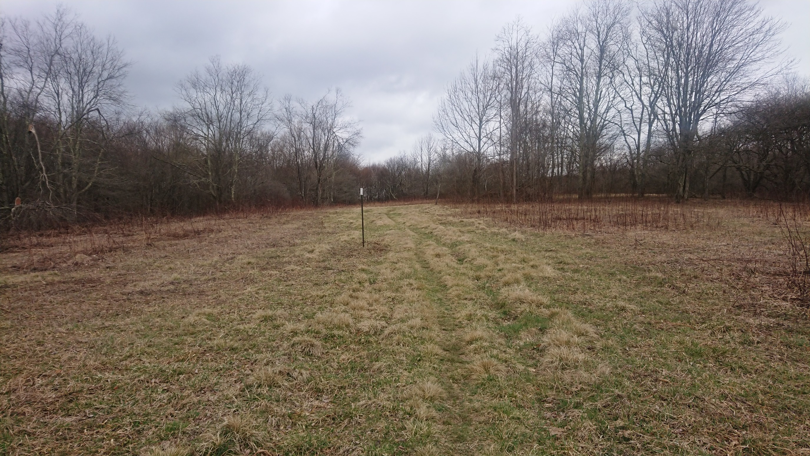
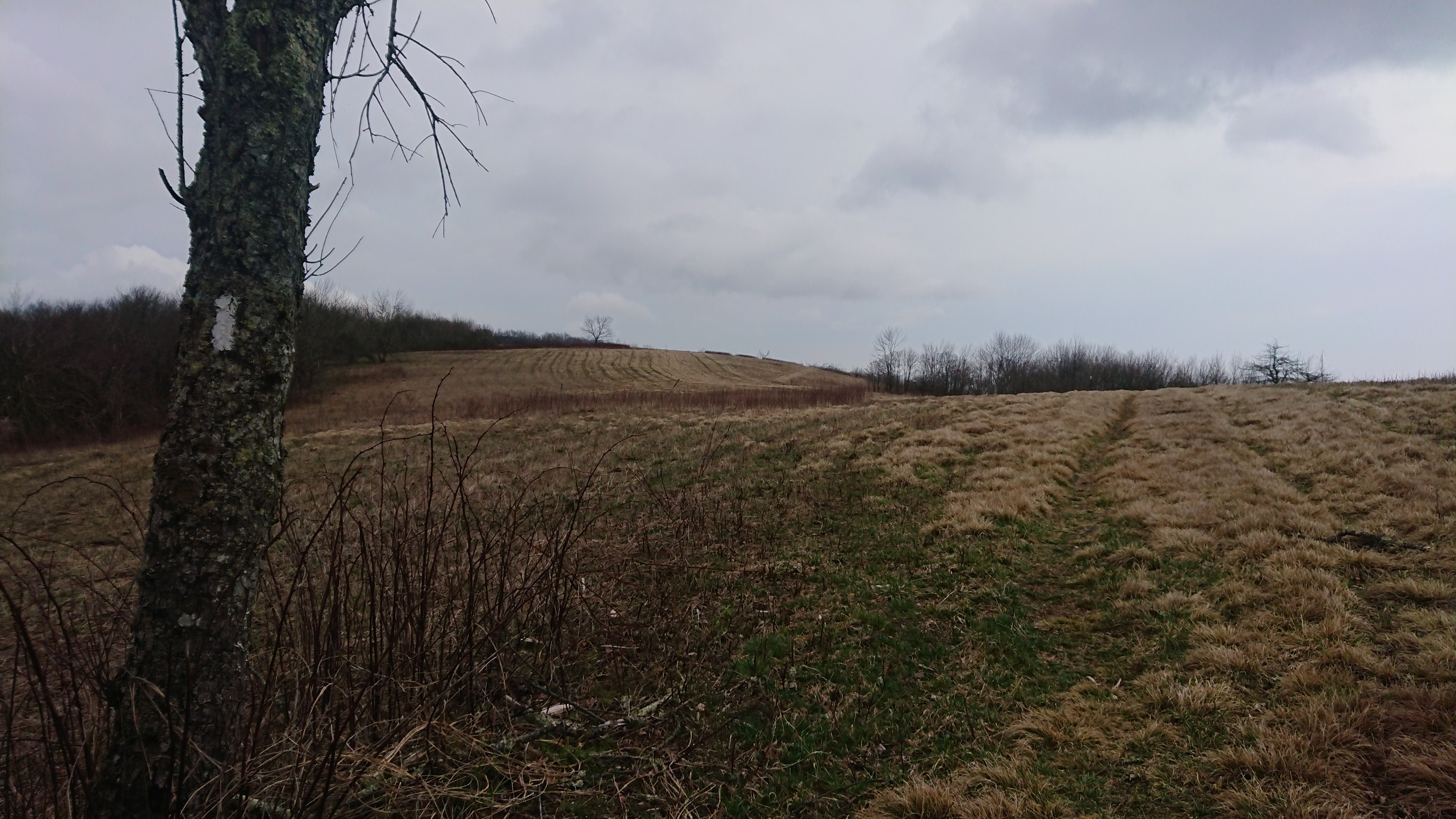
And looking back south, to the spot the previous photo was taken: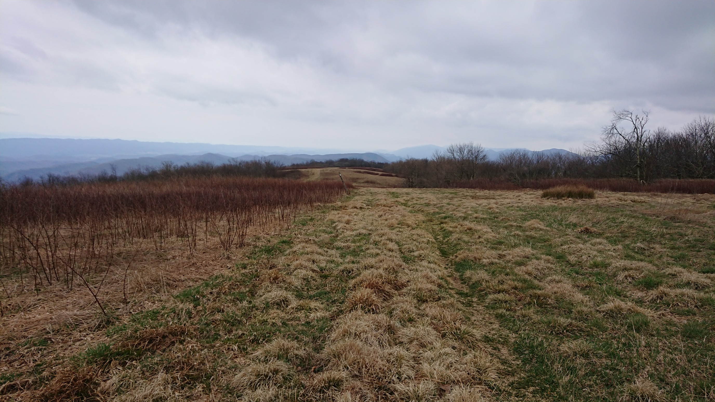
I got phone signal, and noticed there was a severe thunderstorm watch starting in 2 hours. I hurried for the next 3 miles of open ridge, to make sure I was far away from the exposed section by 1pm.I got to a shelter at 11:30am, and stopped for lunch.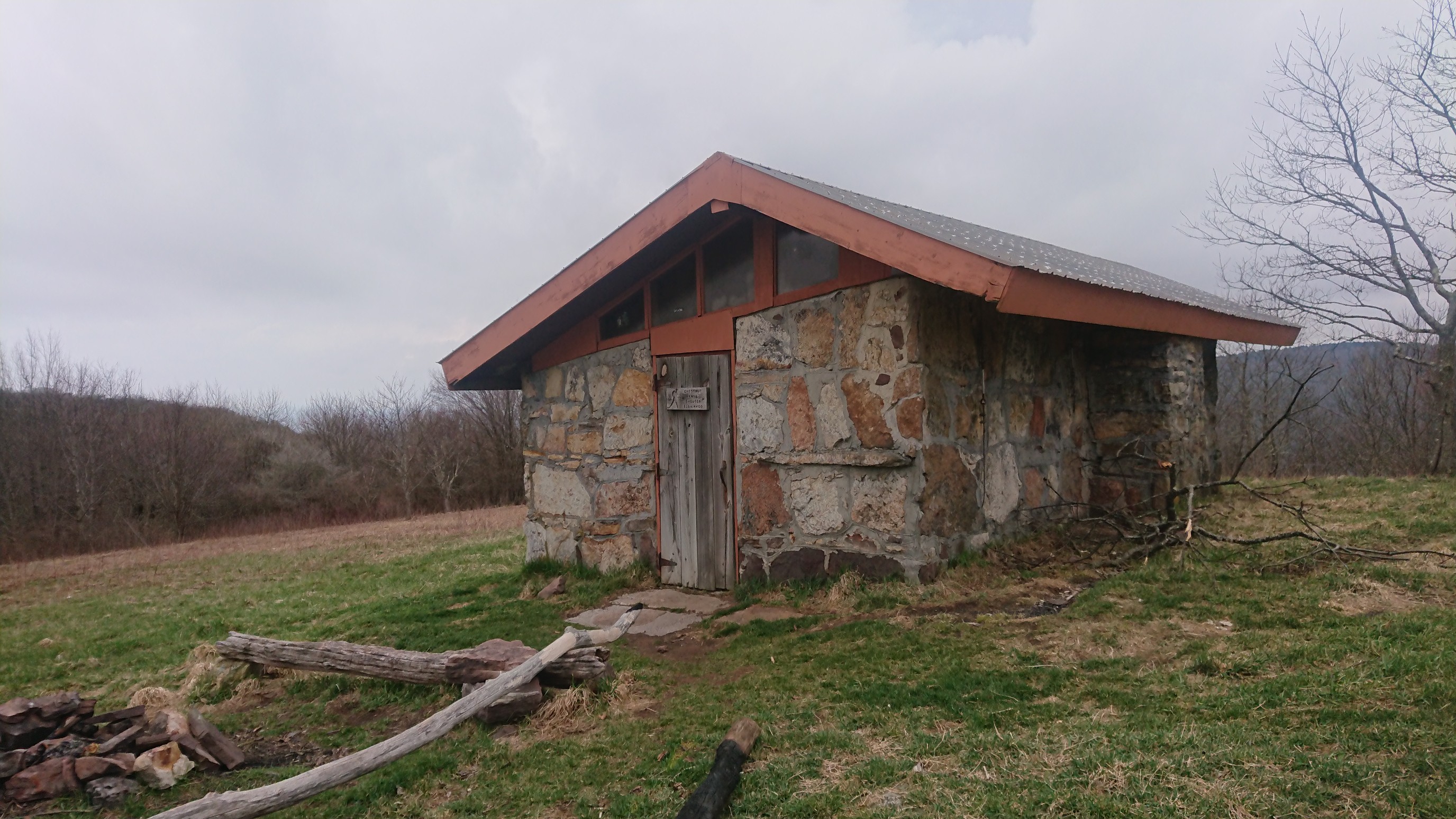
The view to the west side of the trail is fascinating. It looks down on Burke’s Garden, a geological oddity. It’s not a crater, but a limestone sinkhole that is 4 miles across.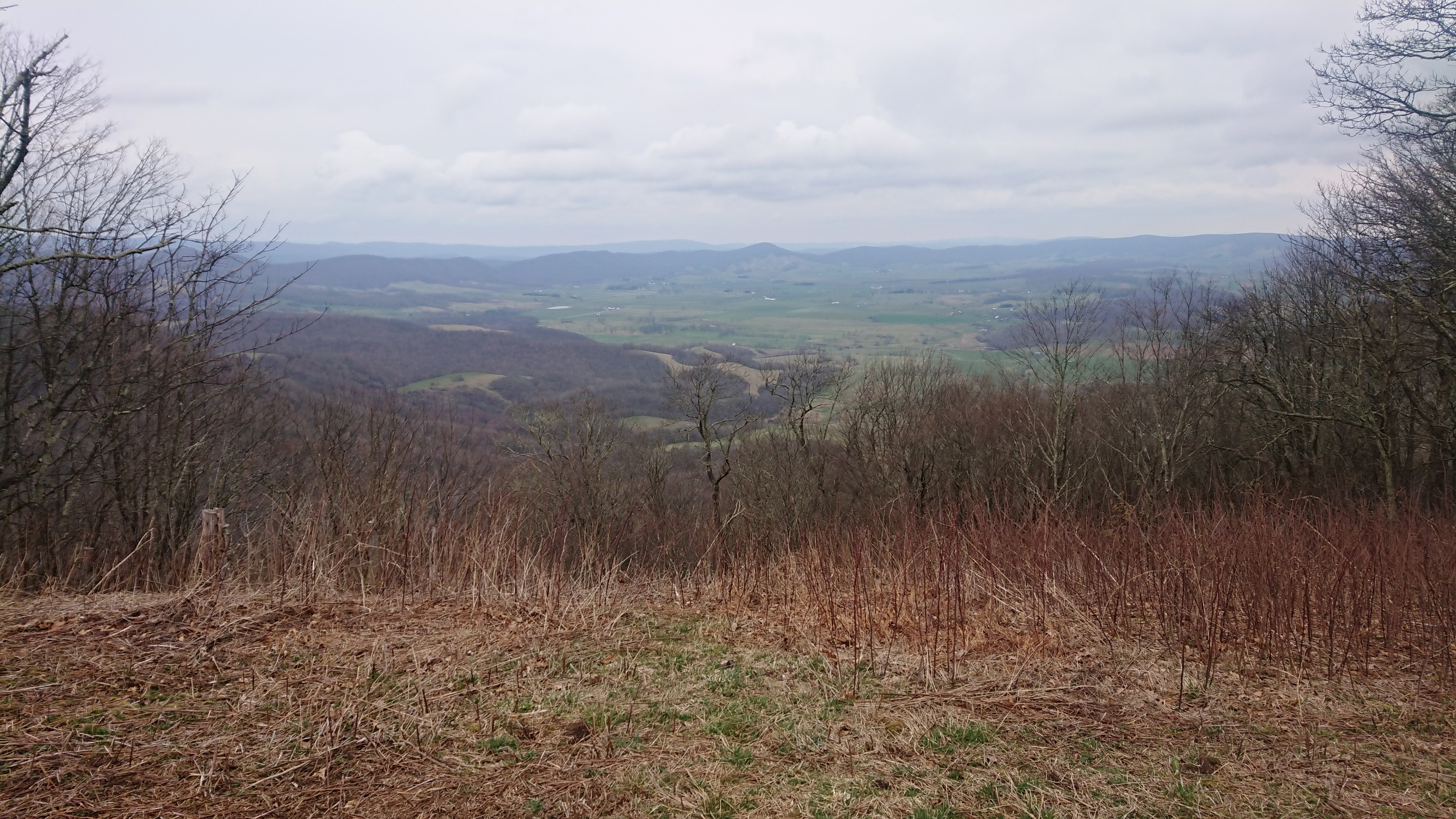
Inside the shelter had some interesting things to look at too…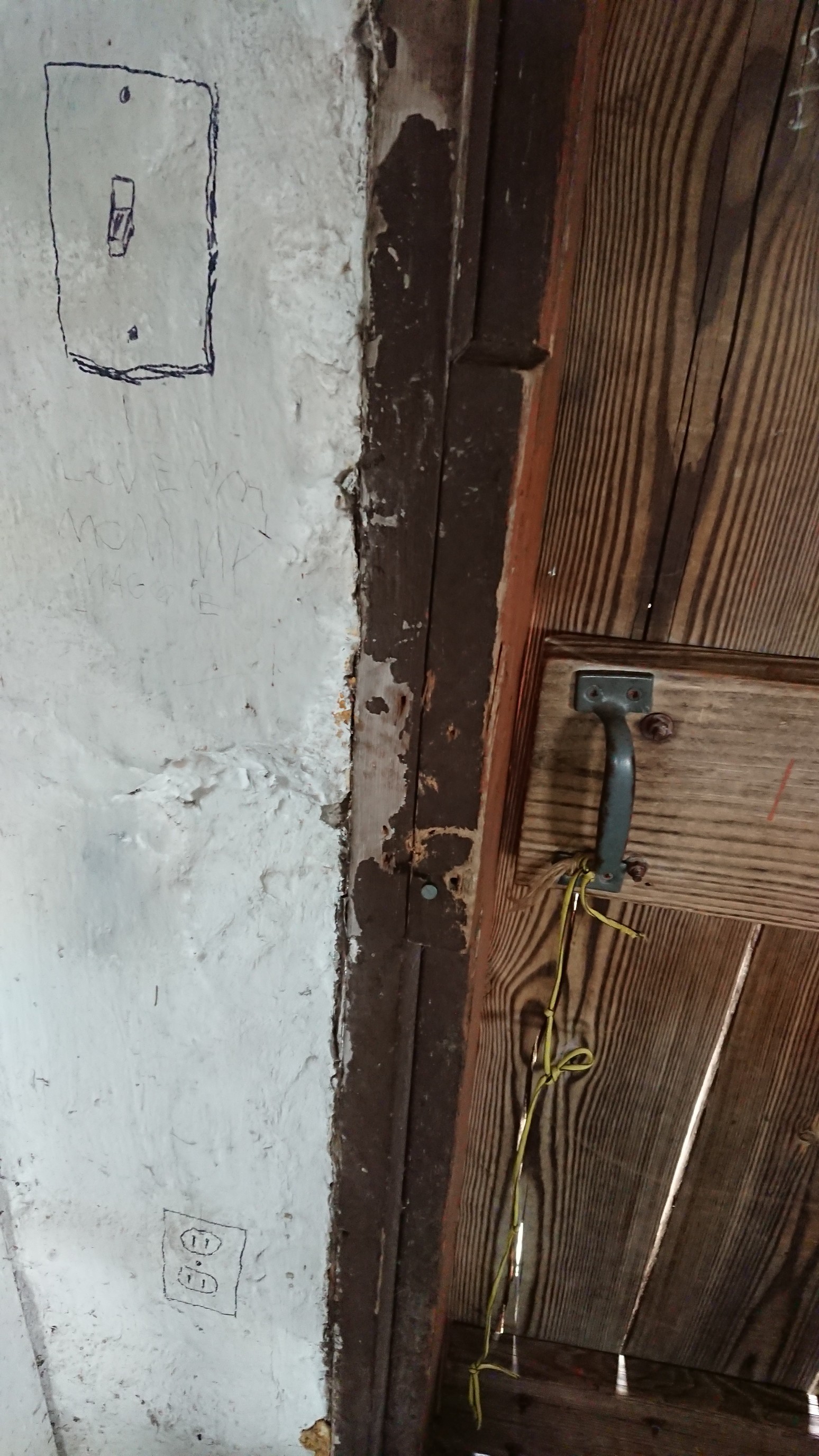
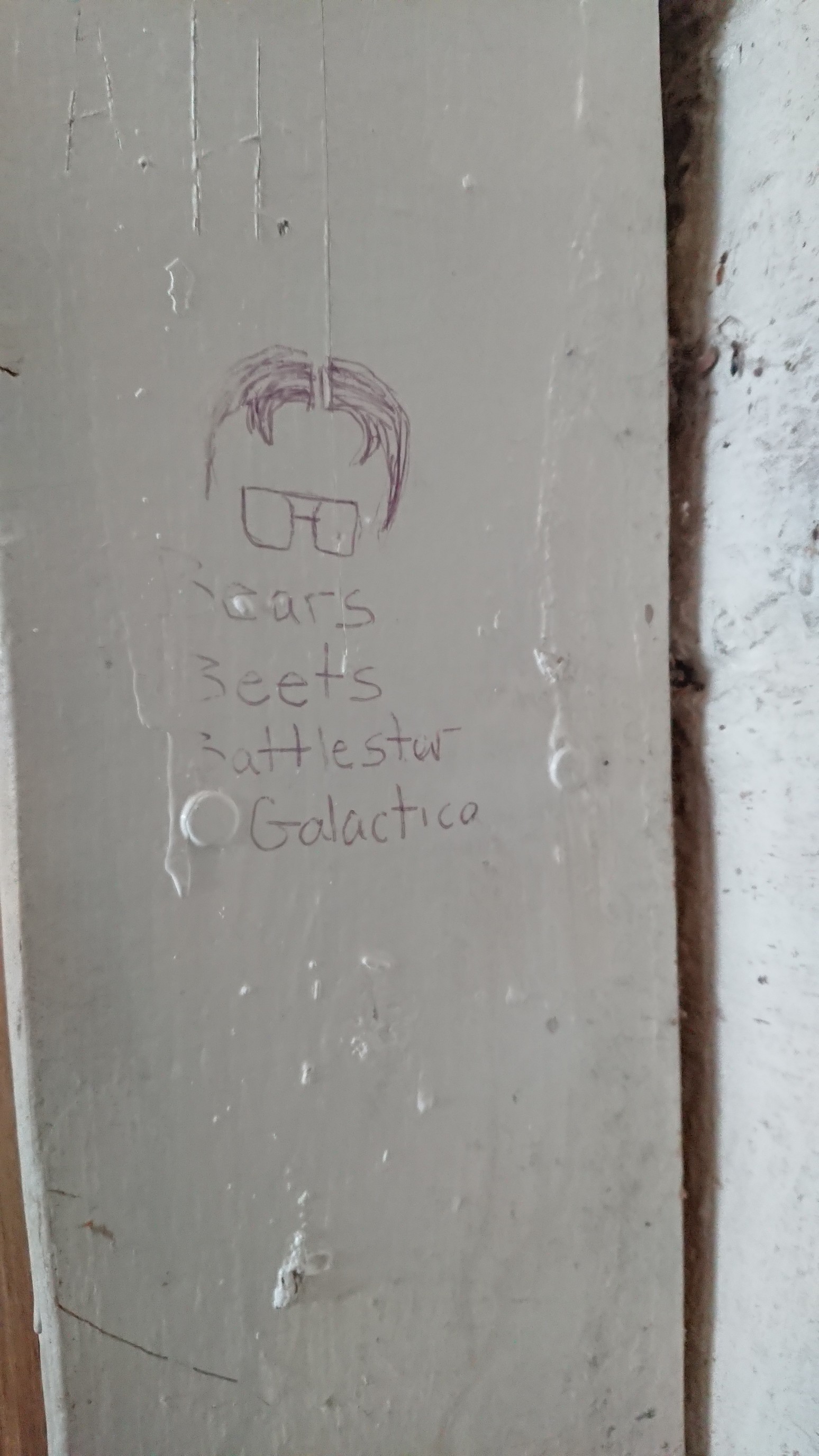
Graffiti is usually annoying, but I do love a good reference to The Office.I left the shelter by 12:15pm, and was down in the trees 5 minutes later. Safe!
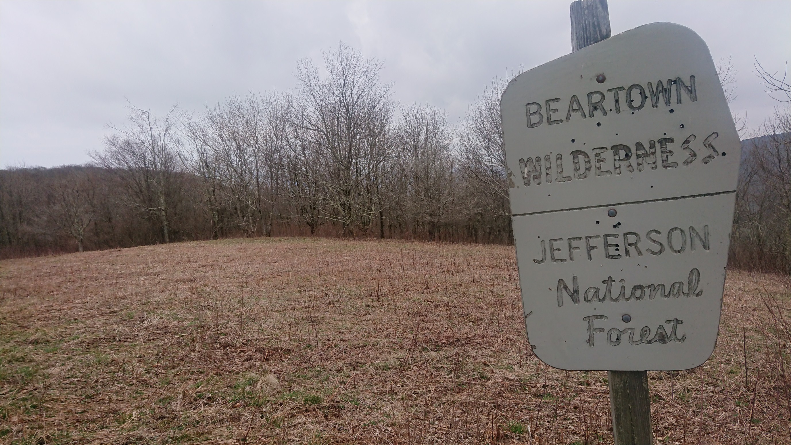
The rest of the afternoon was uneventful ridge walking with no real views. I used my umbrella for an hour, and took a break at the next shelter, where I met Flatlander. Turkish was there too. We talked for a bit, mostly about the three topics hikers talk about most – food, bodily functions, and trail mileage. I pushed on another 5 miles in dry weather, and enjoyed a nice trail on an old roadbed. This tree was confusing… I guess it had fallen over, then sprouted more trees?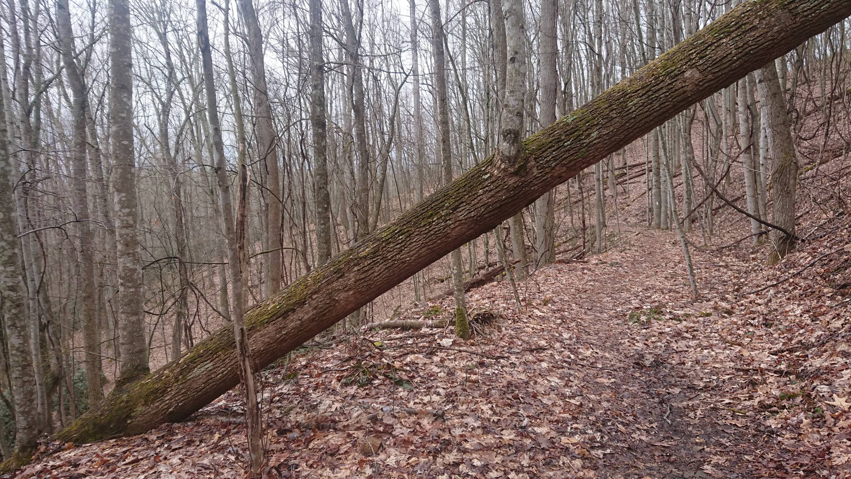
I made it to my camp spot next to Laurel creek by 5:30pm.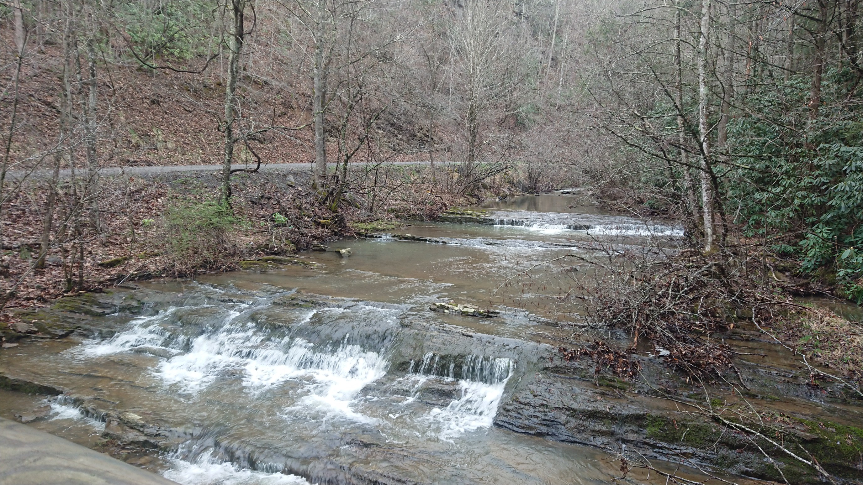
I quickly set up before the rain came back, and had the space to myself. The forecast is for scattered thunderstorms overnight, then nice tomorrow!