Wednesday April 17, 23.6mi/38.0km
Bobblets Gap shelter (748.3) to Thunder Hill shelter (771.9) (VA)
After the best night of sleep I’ve ever had in a shelter, I ate some breakfast bars and got moving. The hike back to the AT was slow and uphill. The sun was already shining up on the ridge, and the temperature hit 70F/21C quickly.
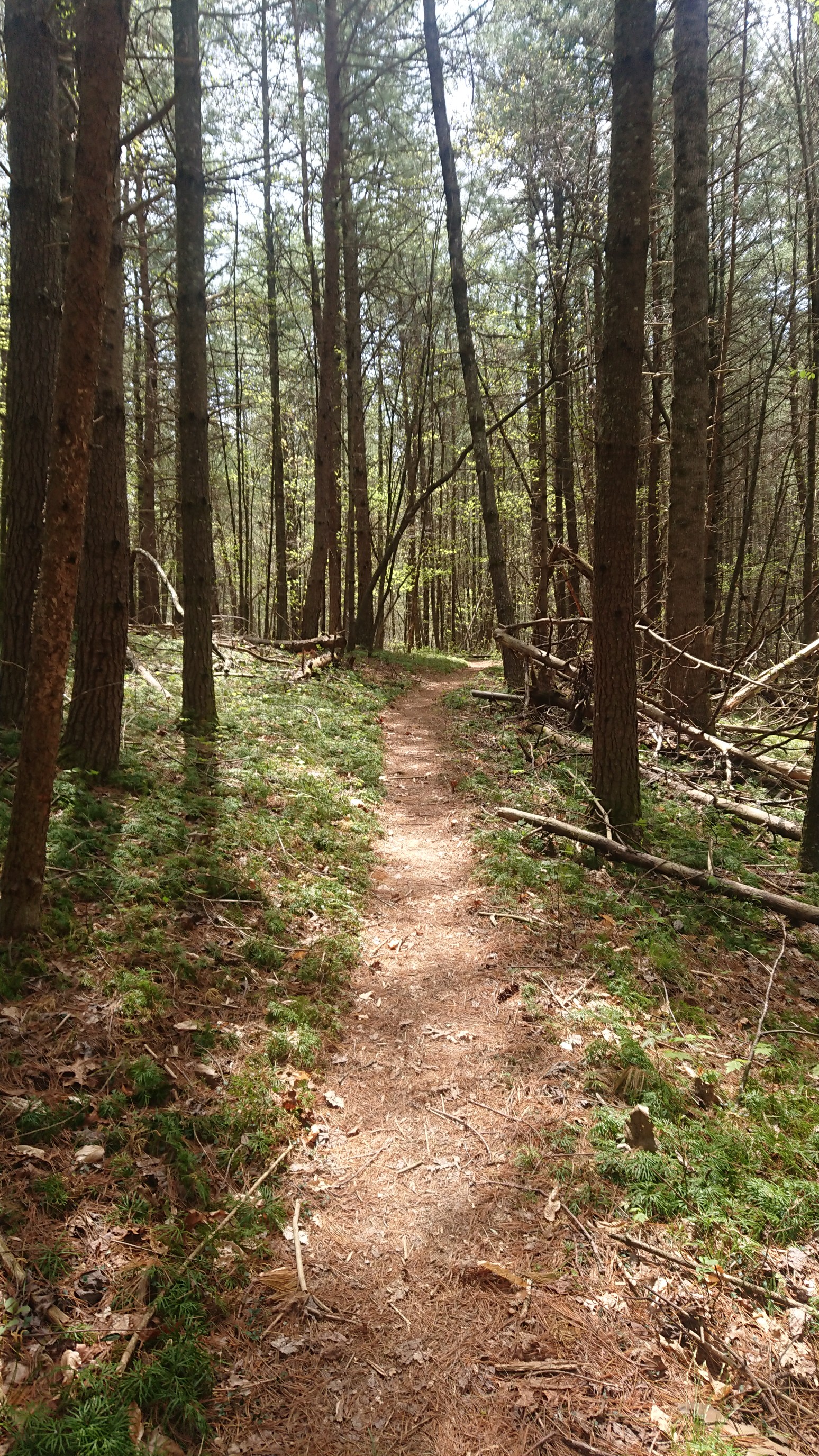
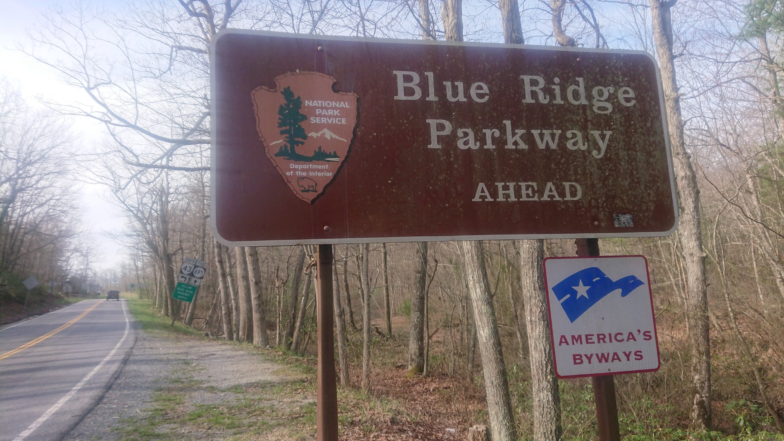
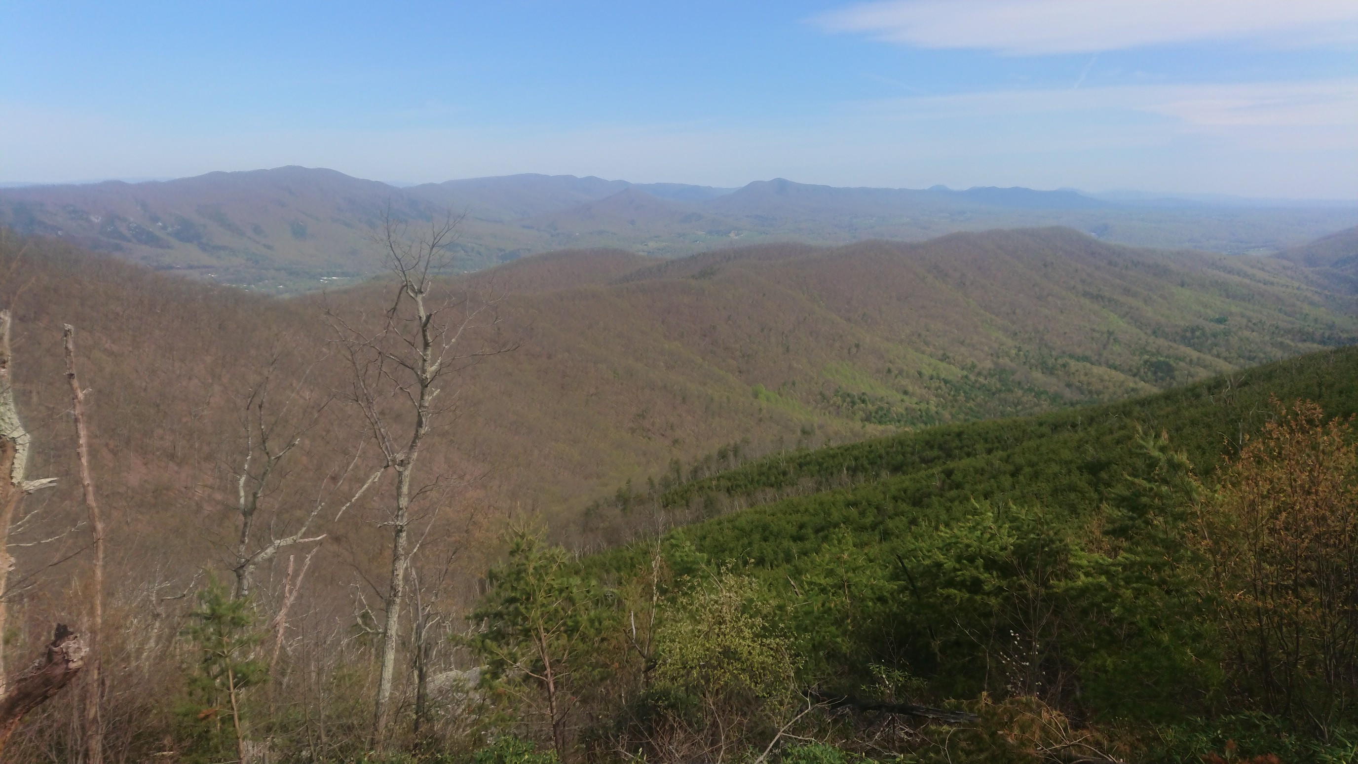
The trail criss-crossed with the Blue Ridge Parkway again a few times, with some great views.
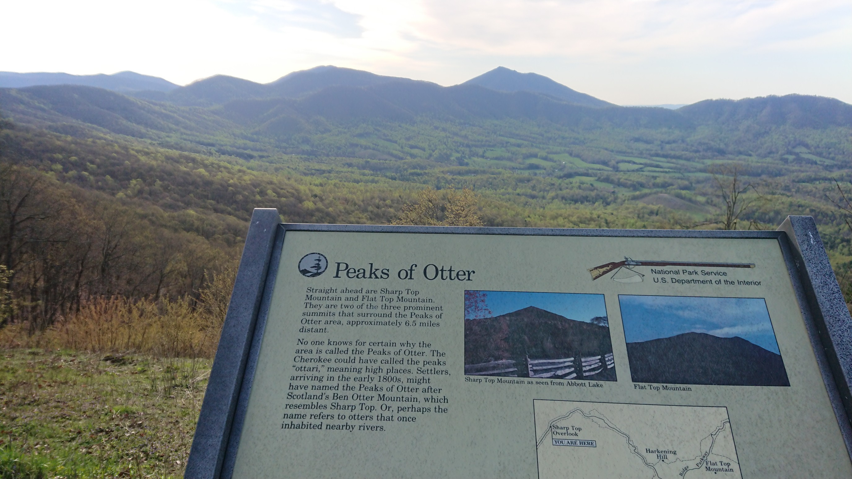
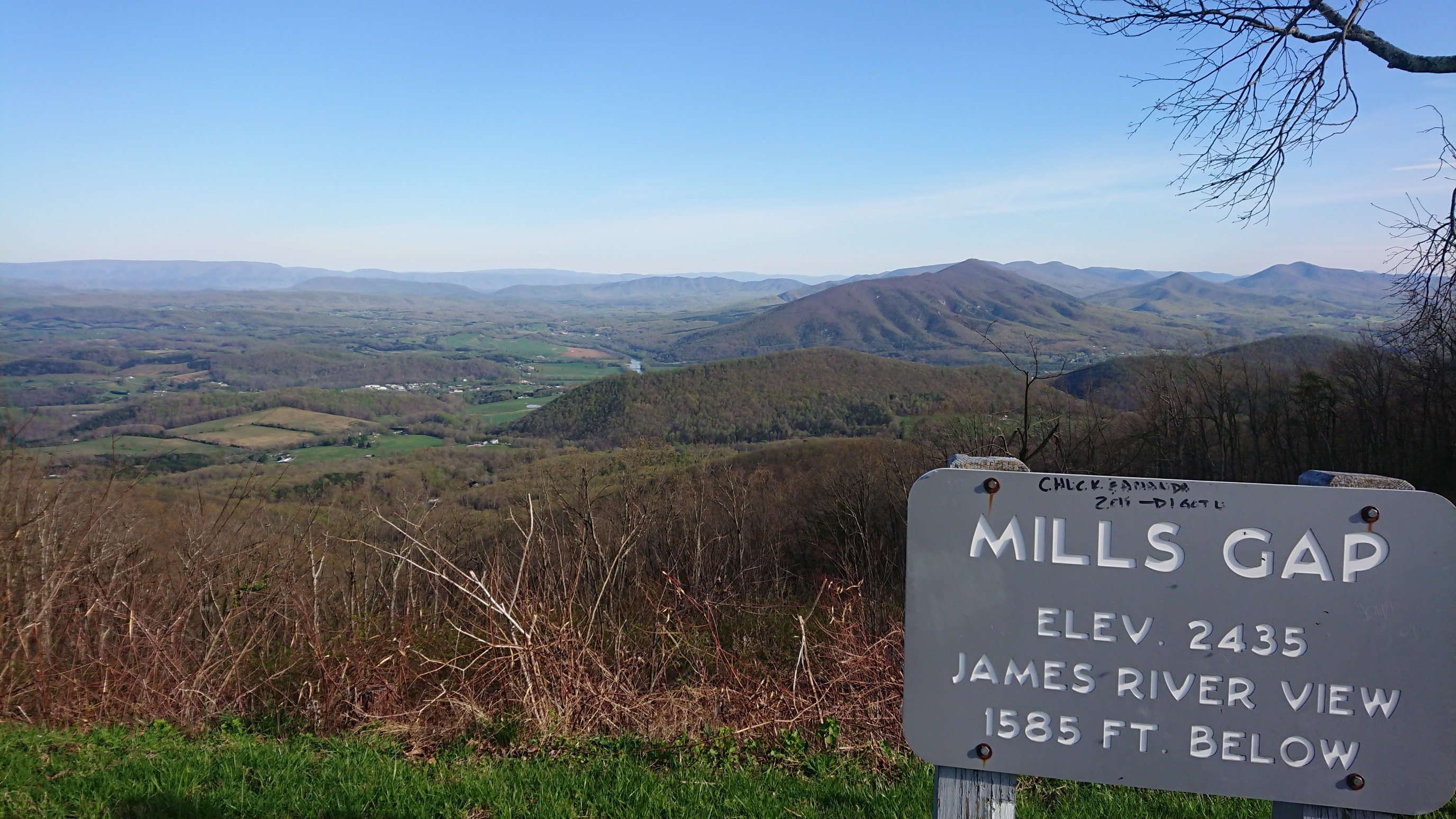
The whole morning was hiking on a ridge with the occasional view thru the trees.
And then… down, down, downhill to Jennings creek and a trailhead parking area. It also had a swimming hole in the creek!
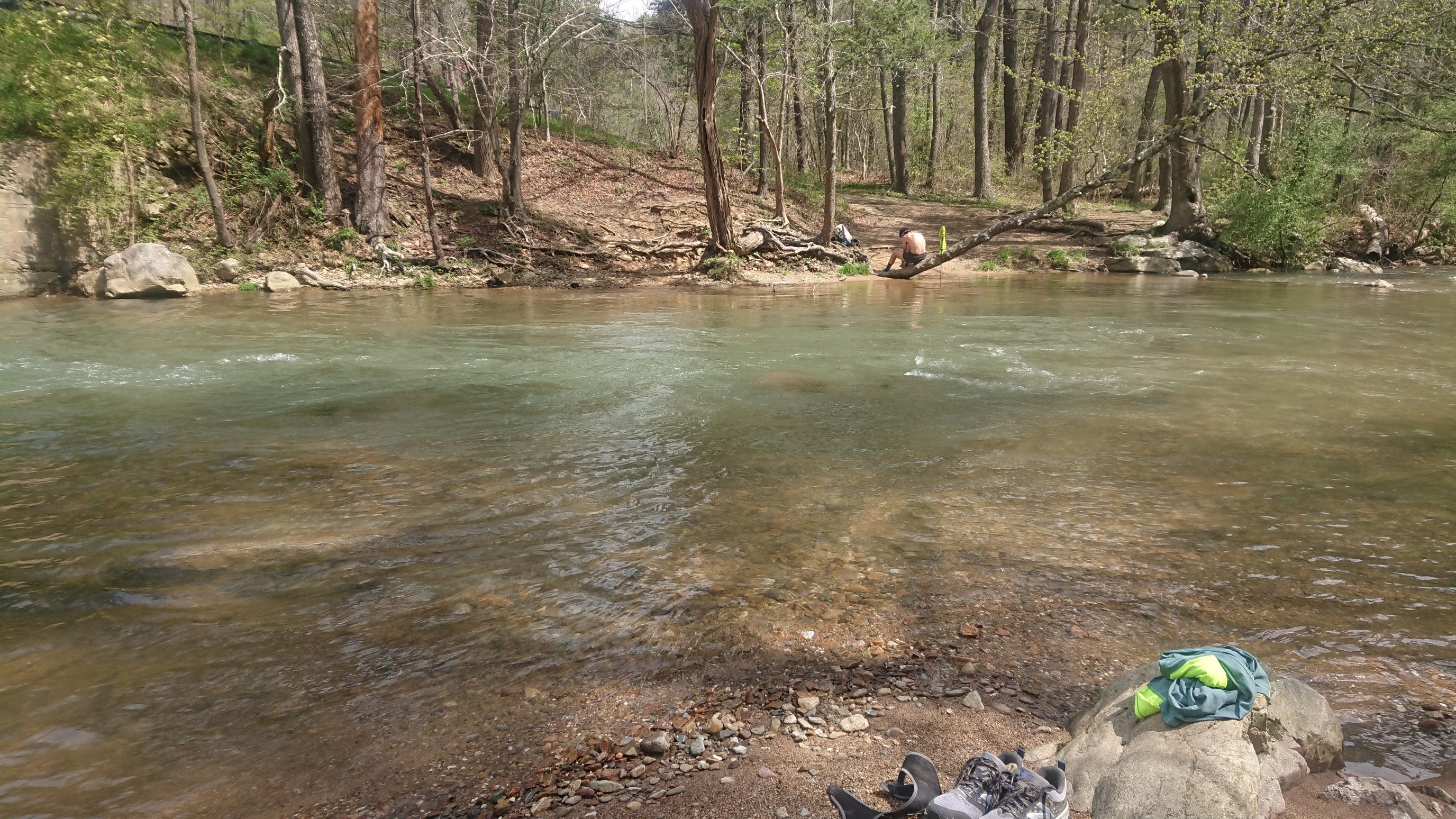
It looked familiar, and I realized I had been here a couple of times before, the most recent in 2012 when I hiked this section of the AT with my dad.
Then I also remembered the big climb after the creek. 3100ft/950m of uphill, here we go!
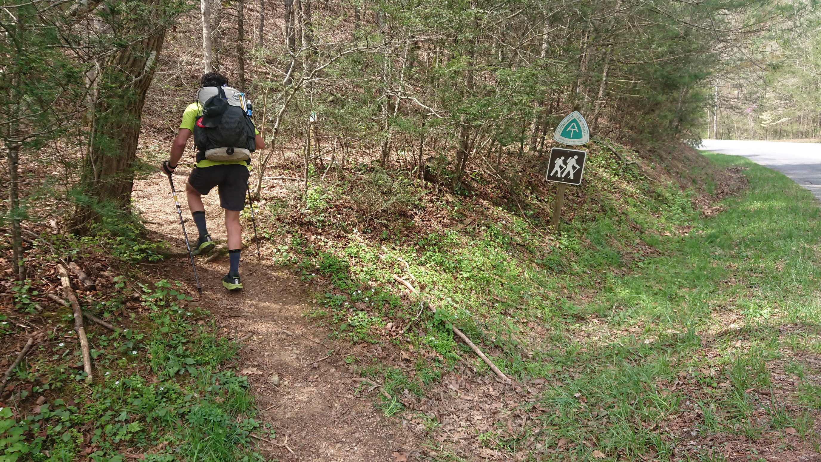
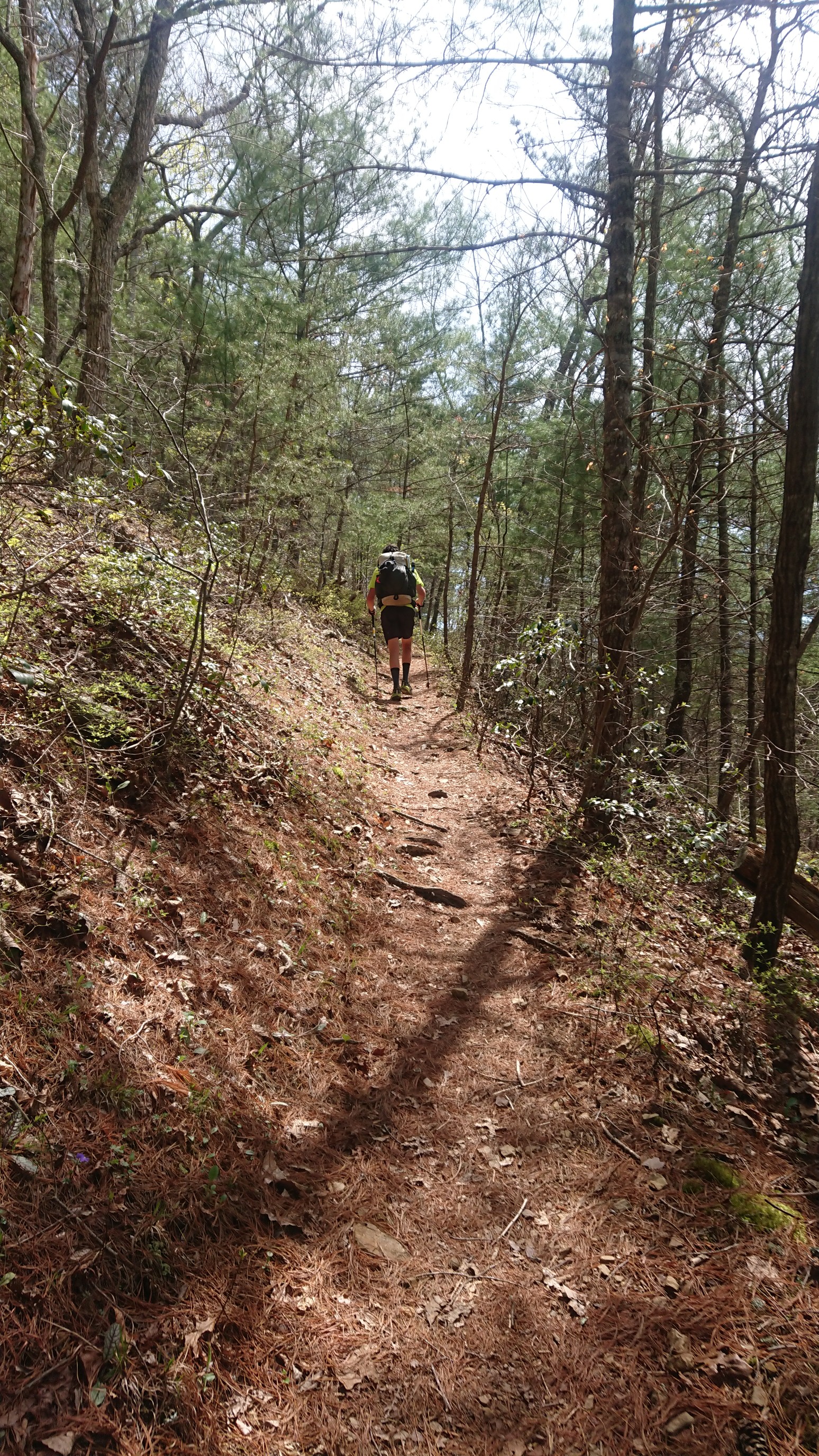
It was a nice smooth and switchbacked trail, and despite the heat I made good time. I took a long break at the huge (20-bunk) Bryant Ridge shelter.
After all afternoon of climbing, I reached the top of Apple orchard mountain at 5pm.
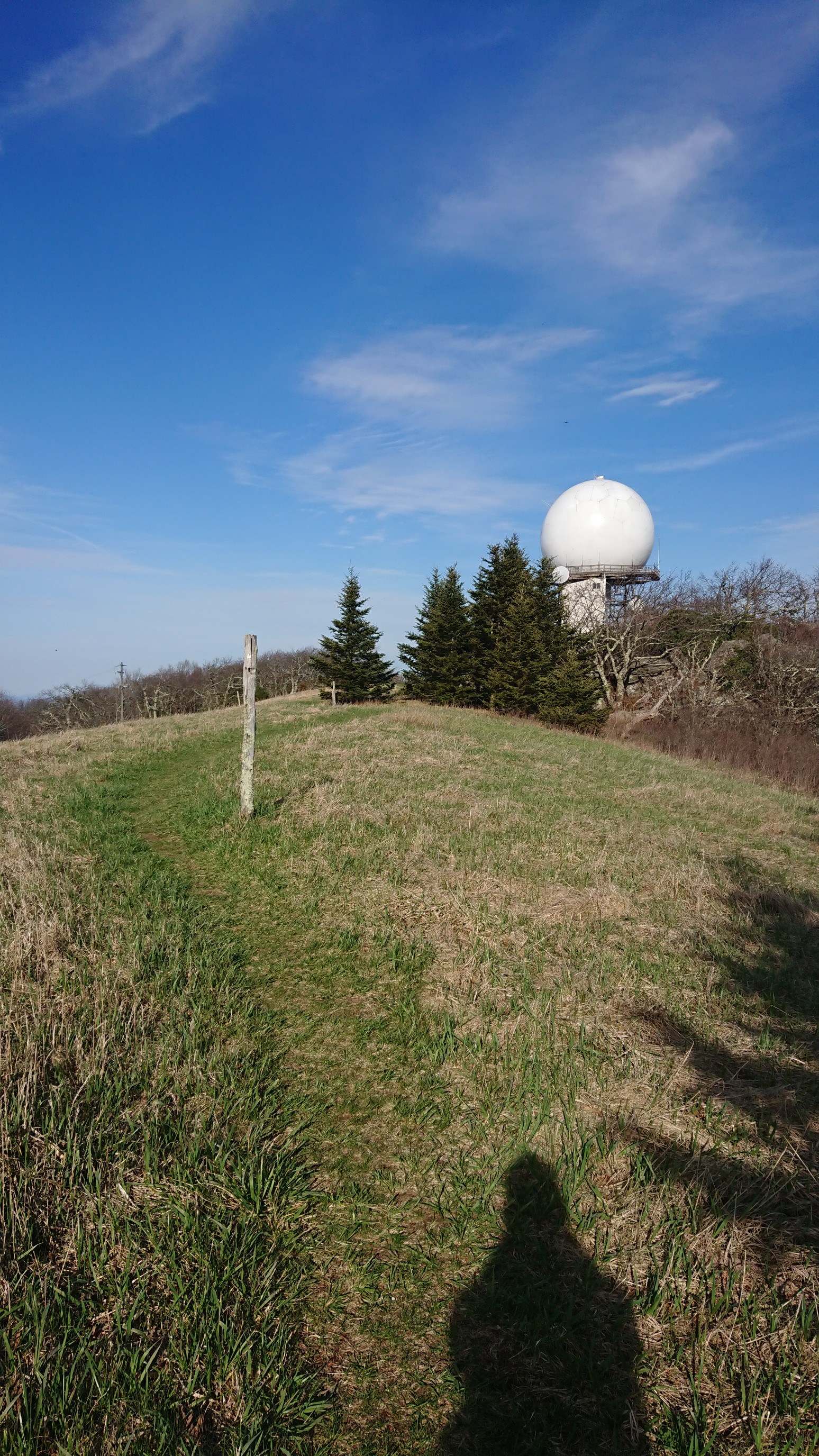
What a cool spot! It even has an FAA radar station, for aircraft navigation. There was only one more mile to the shelter, but the trail had more fun surprises.
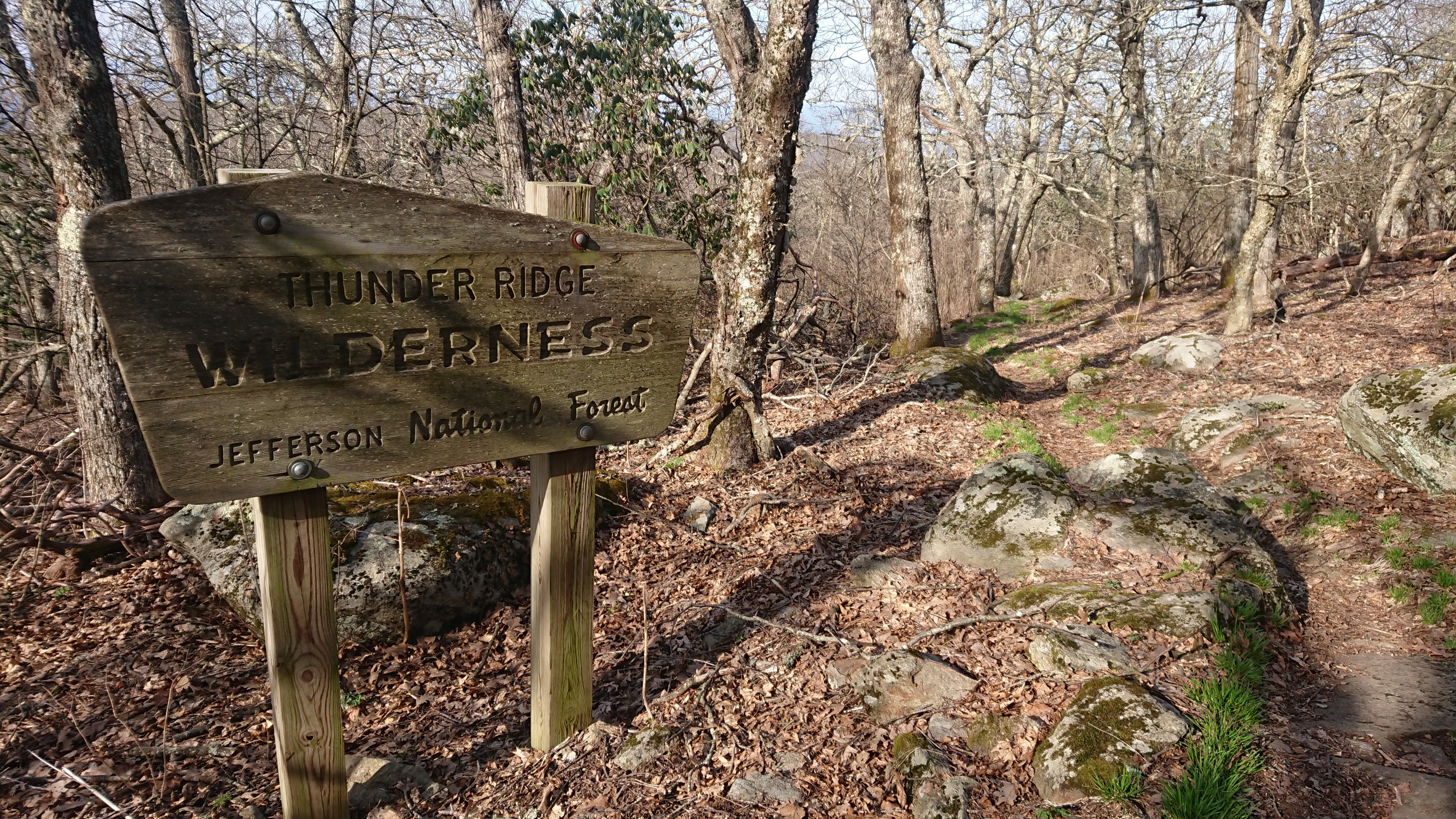
A wilderness! And…
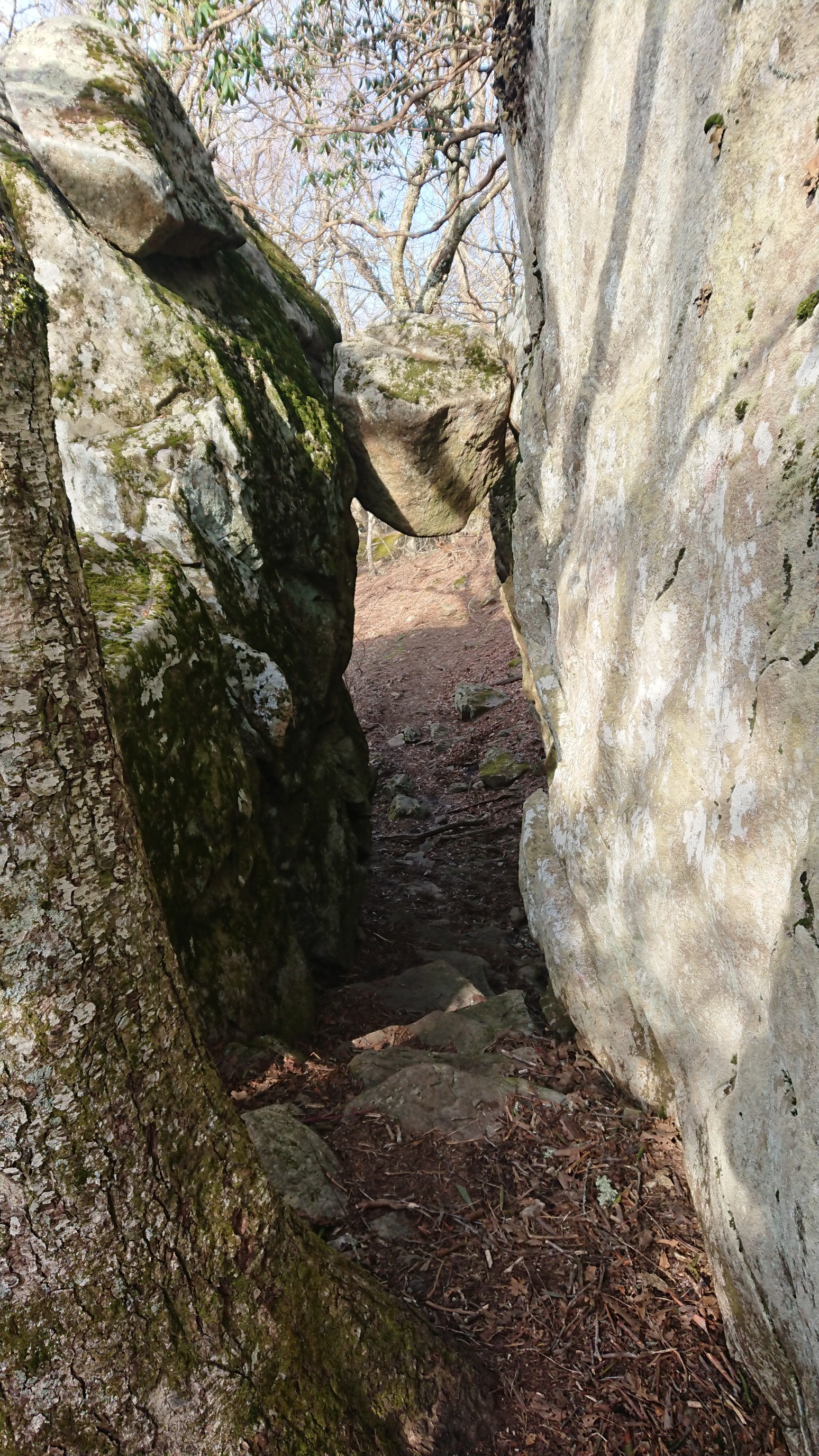
The Guillotine, a wedged rock that the trail passes under. Cool!
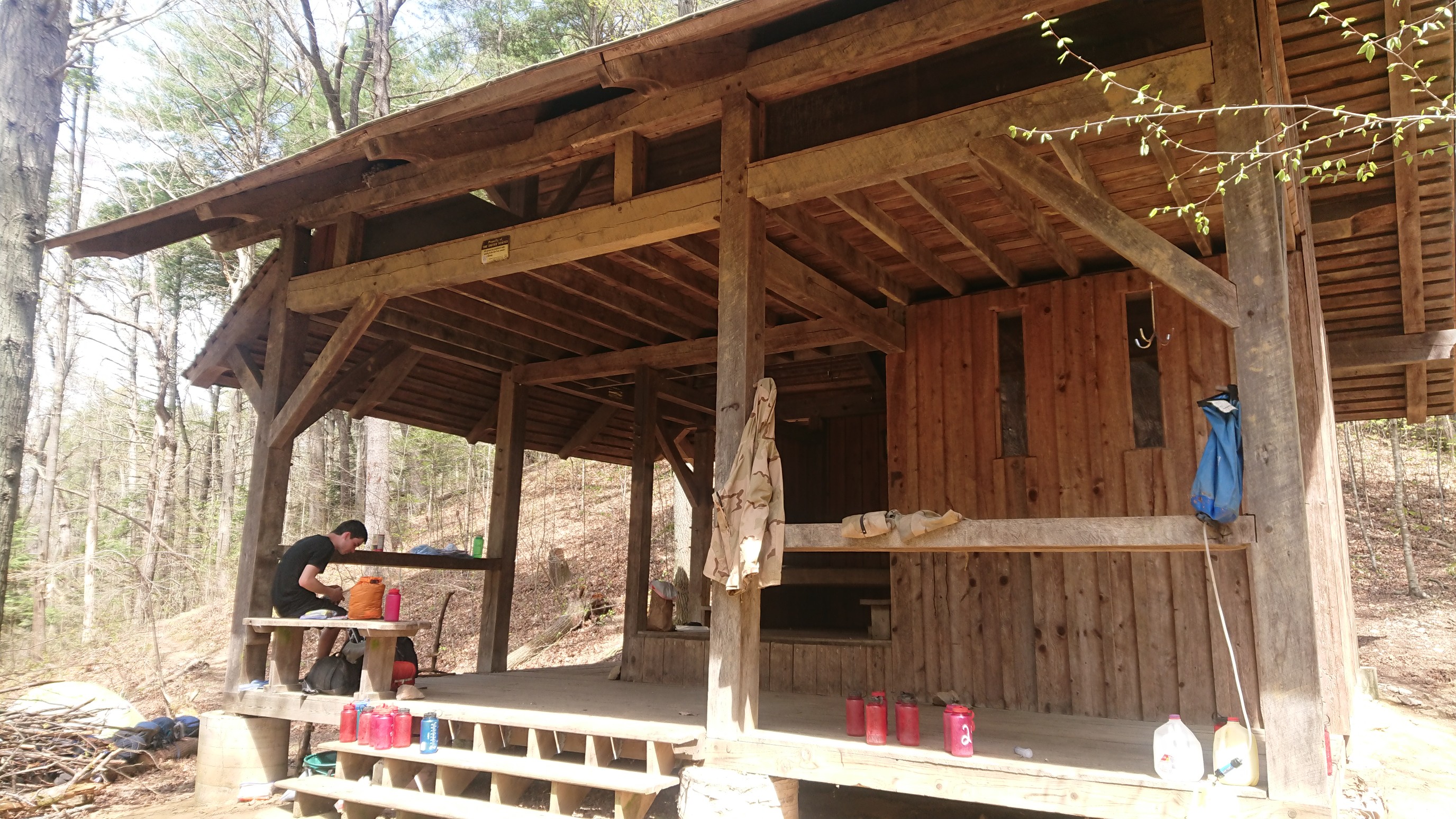
I arrived to the shelter at 6pm, Bob was already there, and two other section hikers were camped nearby. It’s nice to be camped up at high elevation again, nice and cool!