Friday May 31, 22.4mi/36.0km
Melville Nauheim shelter (1614.4) to Forest Service Road #7 (1636.8) (VT)
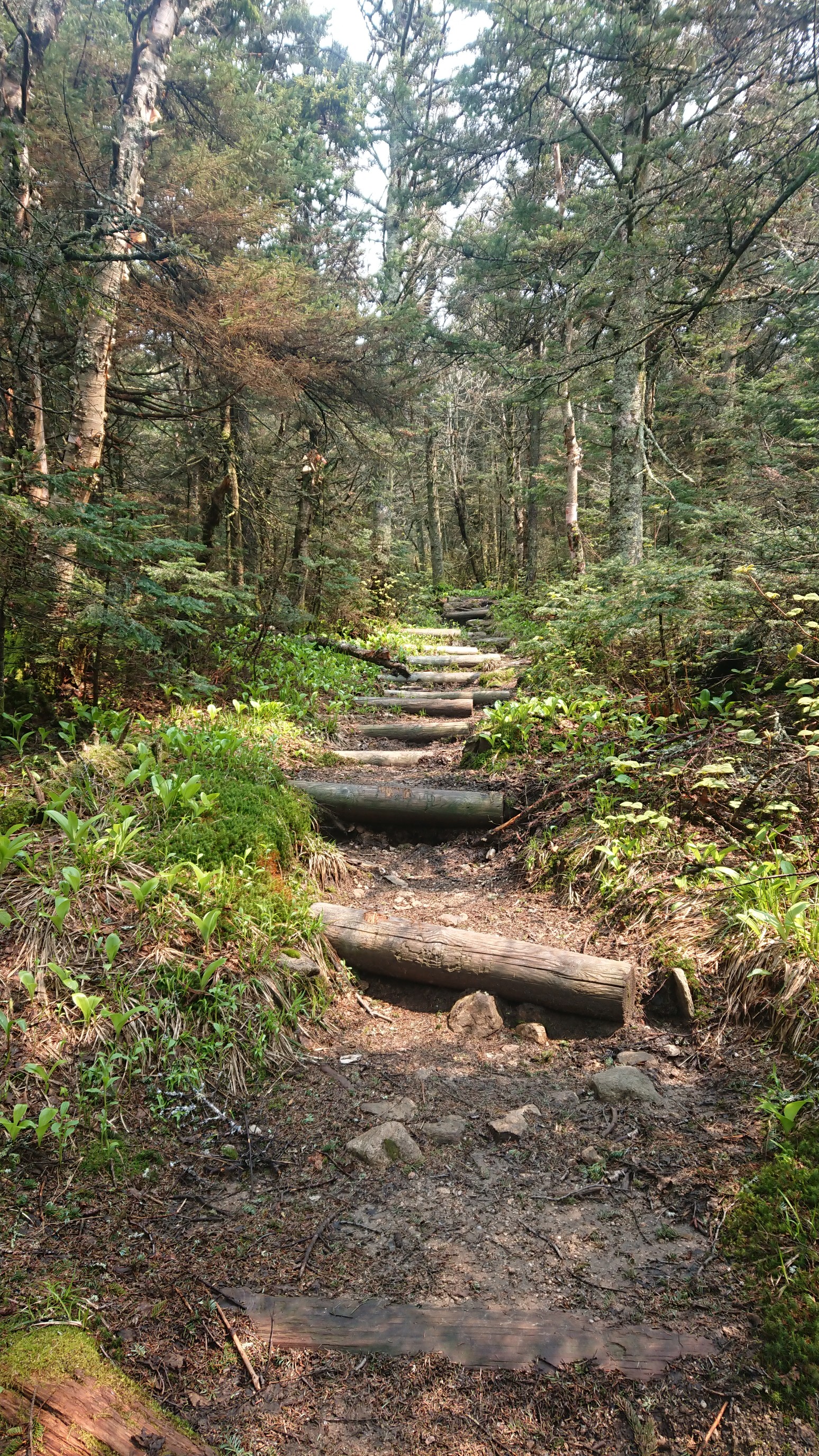
Vermont is sometimes called Vermud, and today I could definitely see why!
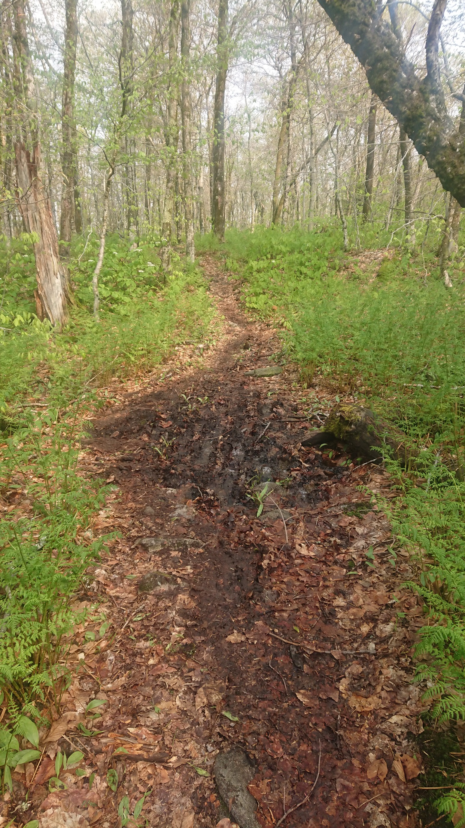
Most of the day was like this, dodging the deeper puddles, and walking straight thru the shallower ones. It was tiring mentally. A few hours into the morning we got a view! It’s because of powerlines, but I’ll take it.
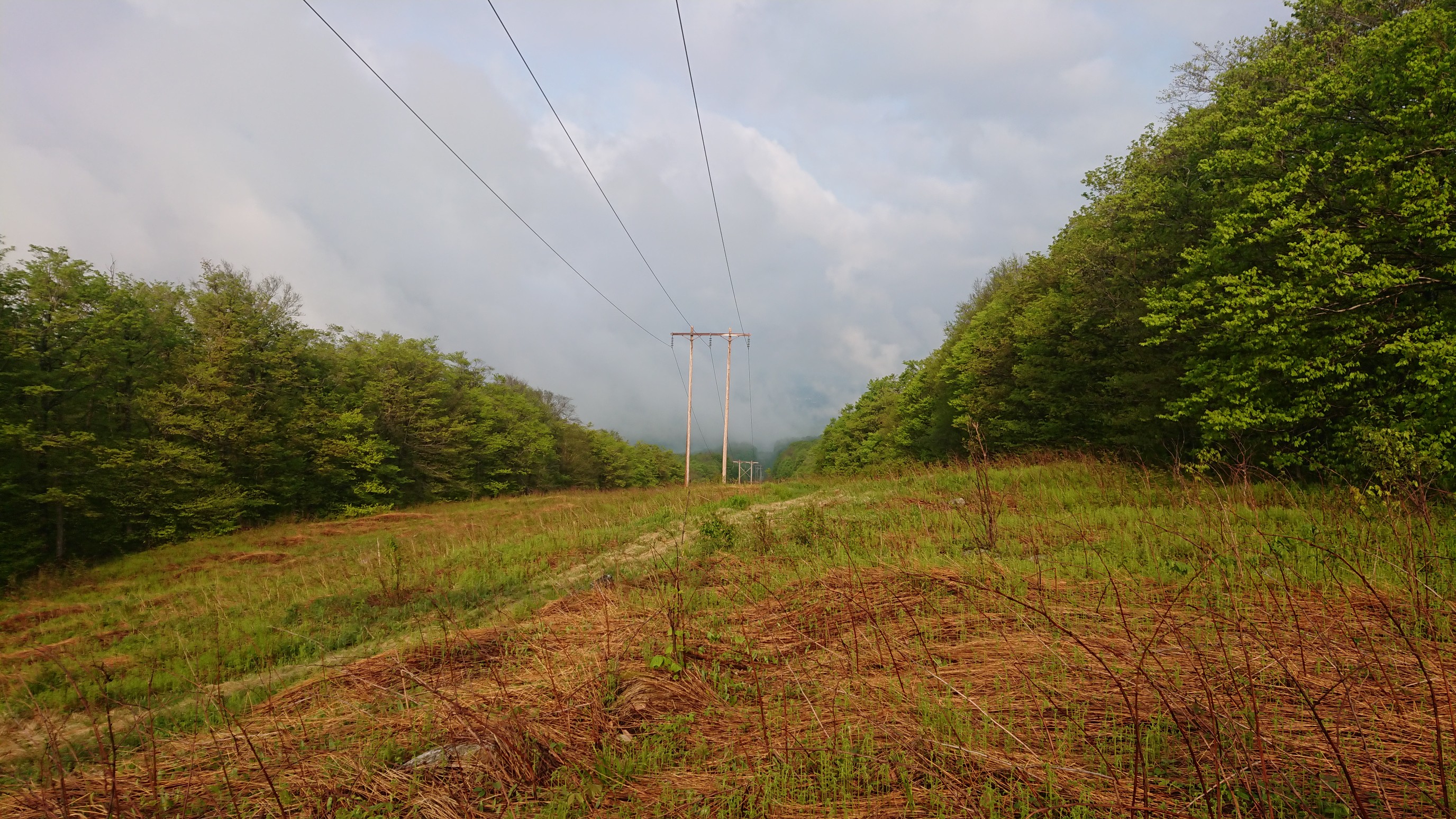
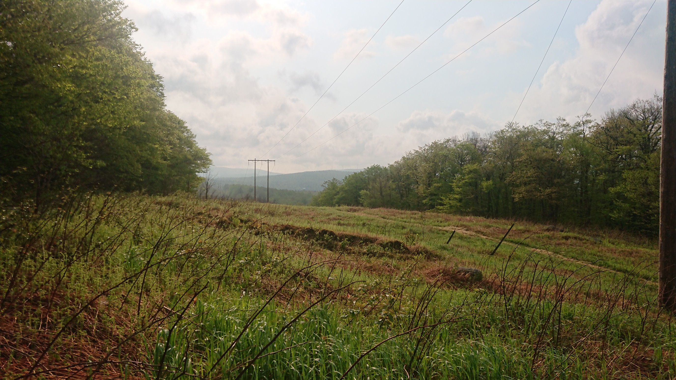
Every time we cross a set of powerlines, we make some kind of bad joke: “it’s a shocking view”, “these views get me really amped up”, or today’s joke , “watt a view!”
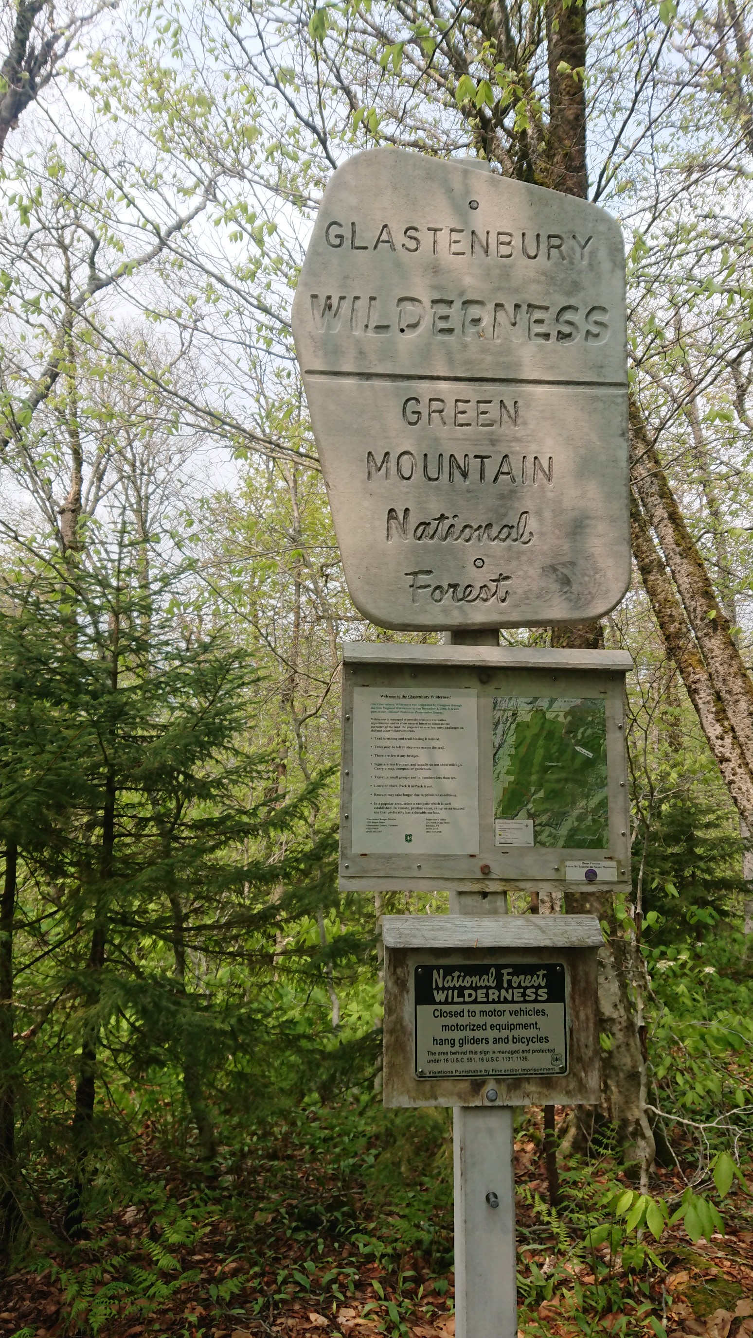
I noticed today that we are back in a national forest, and a wilderness area! This hasn’t happened since Virginia.
Just before lunch, there was a climb up to Glastonbury mountain, which had a fire tower on top. The climb was up many steep log stairs.
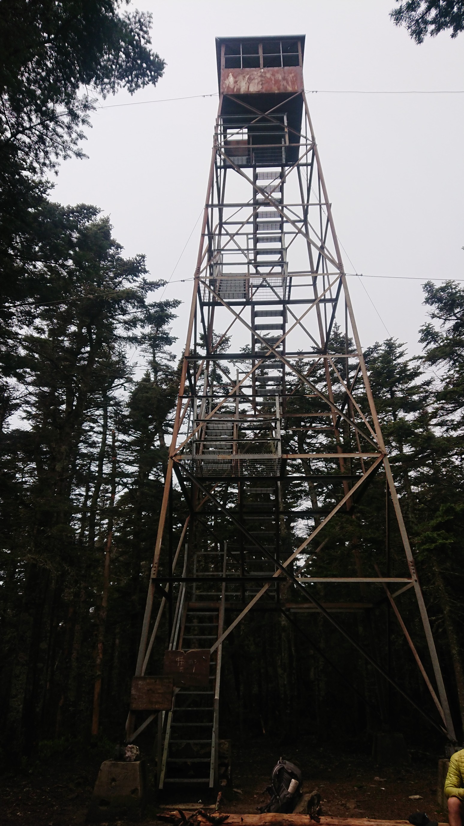
The views from the top weren’t that good today, it was very hazy.
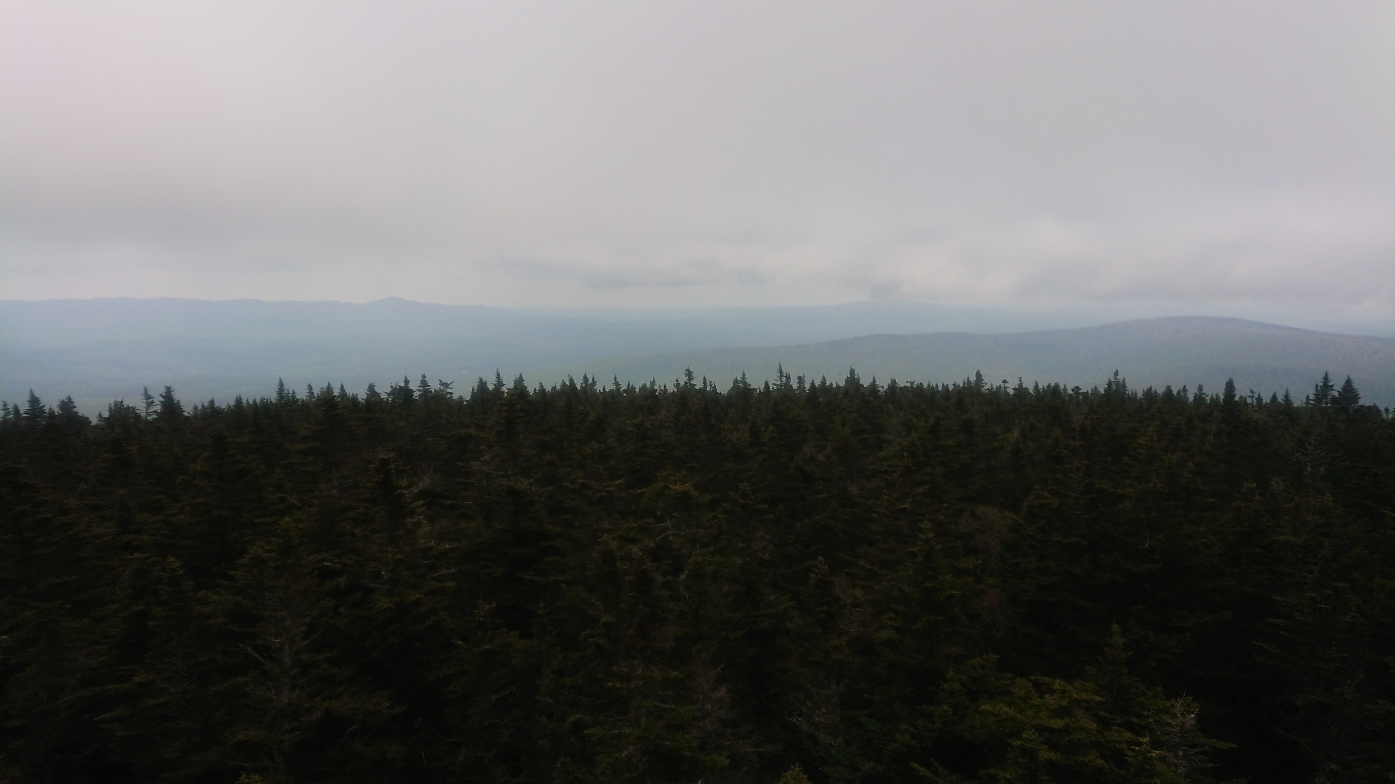
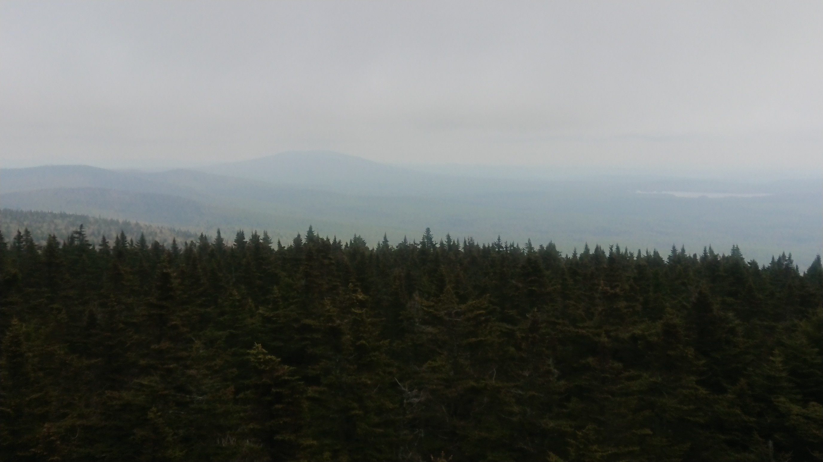
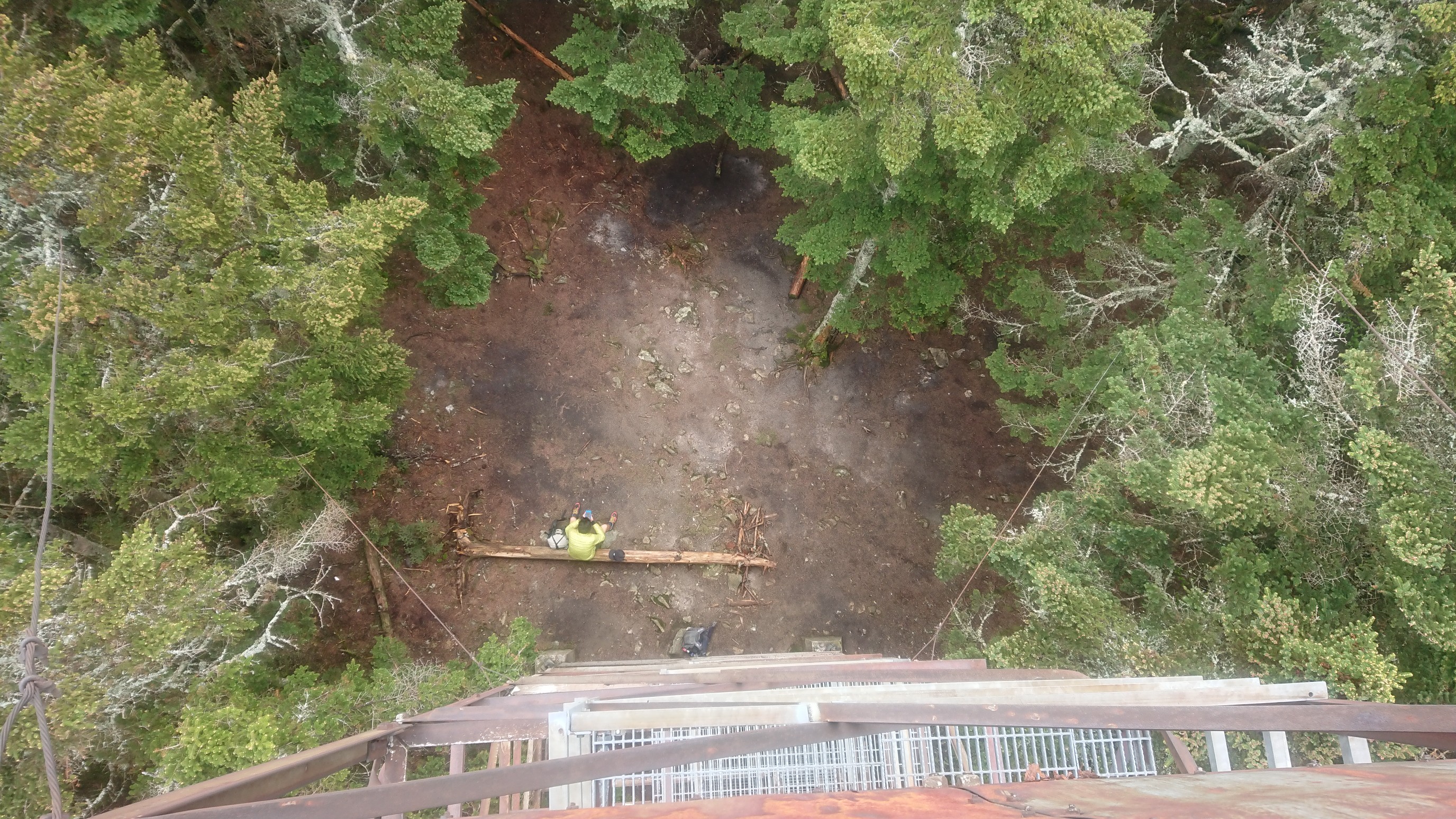
Looking down from the tower was a neat view.
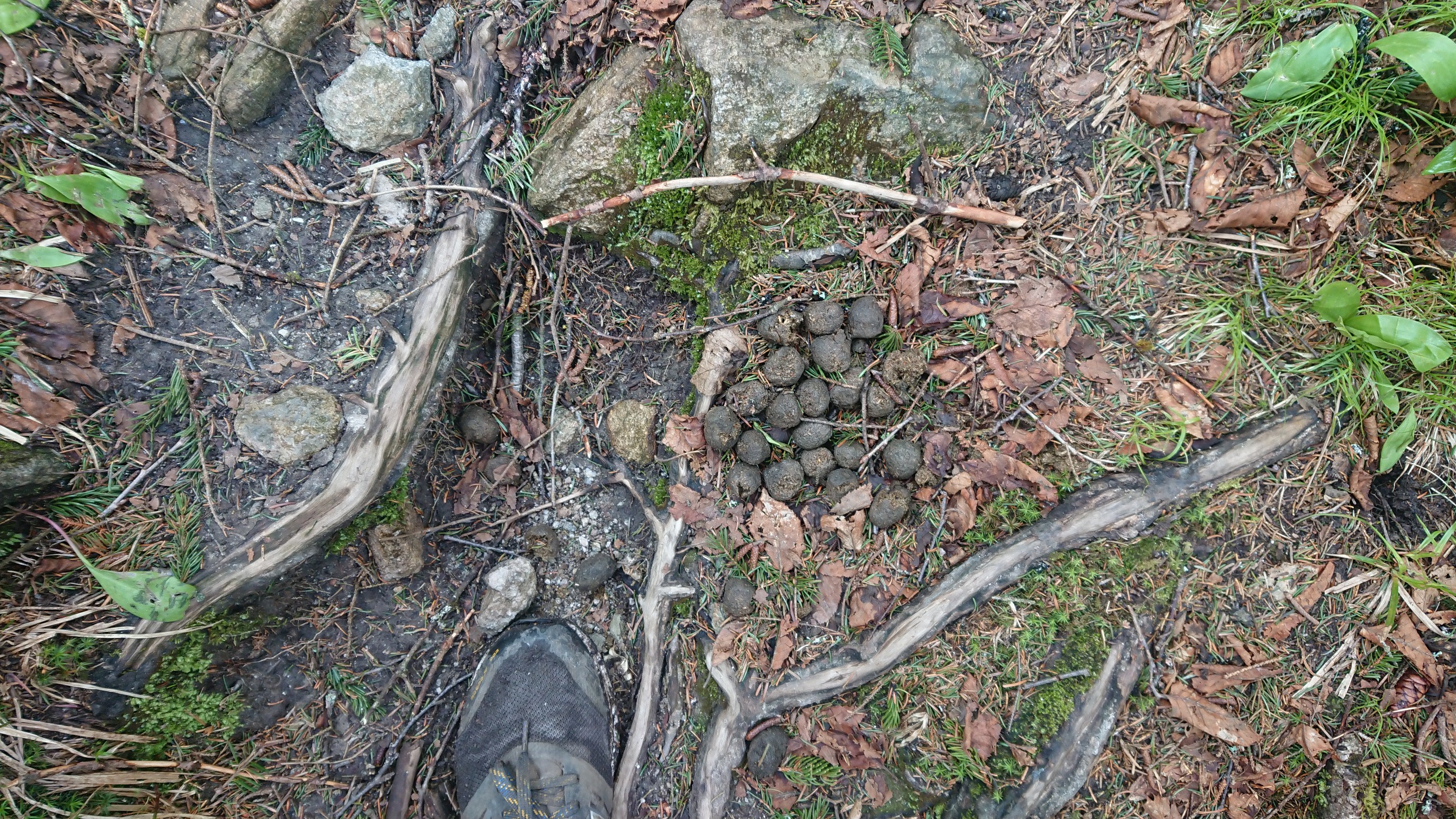
After a quick break, we headed downhill to a shelter for lunch, as it was kind of cold on the summit. I found evidence of moose!
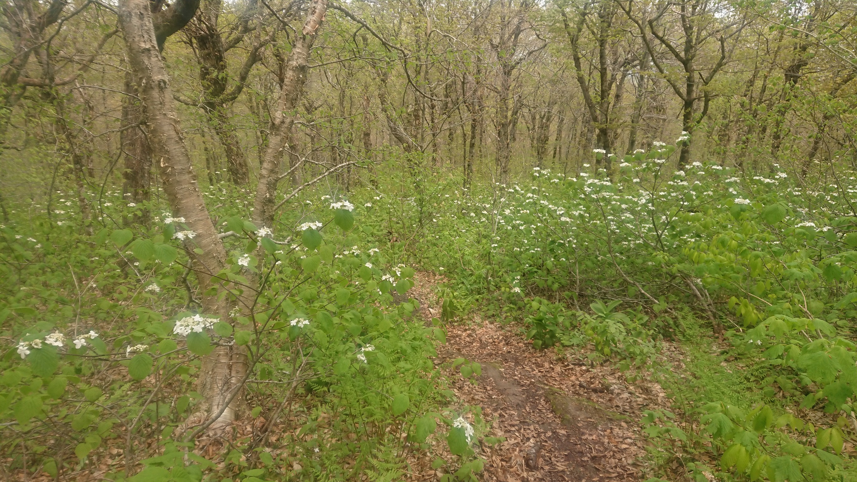
And it was in a field of all these flowers…
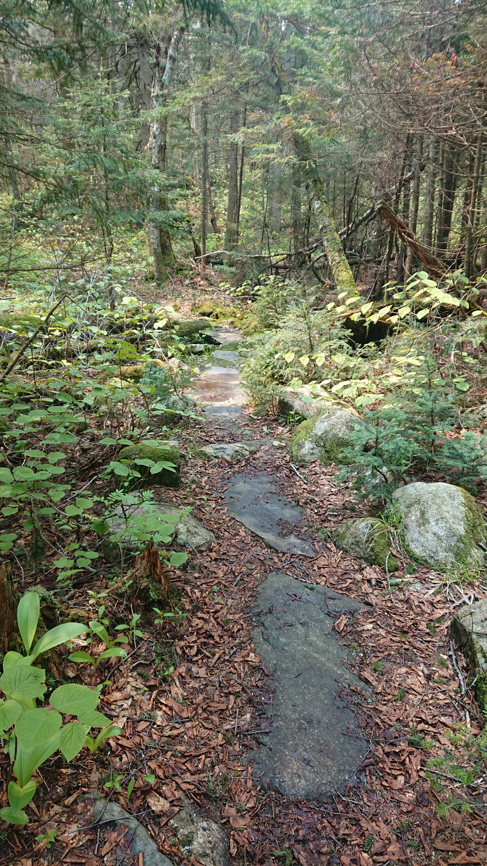
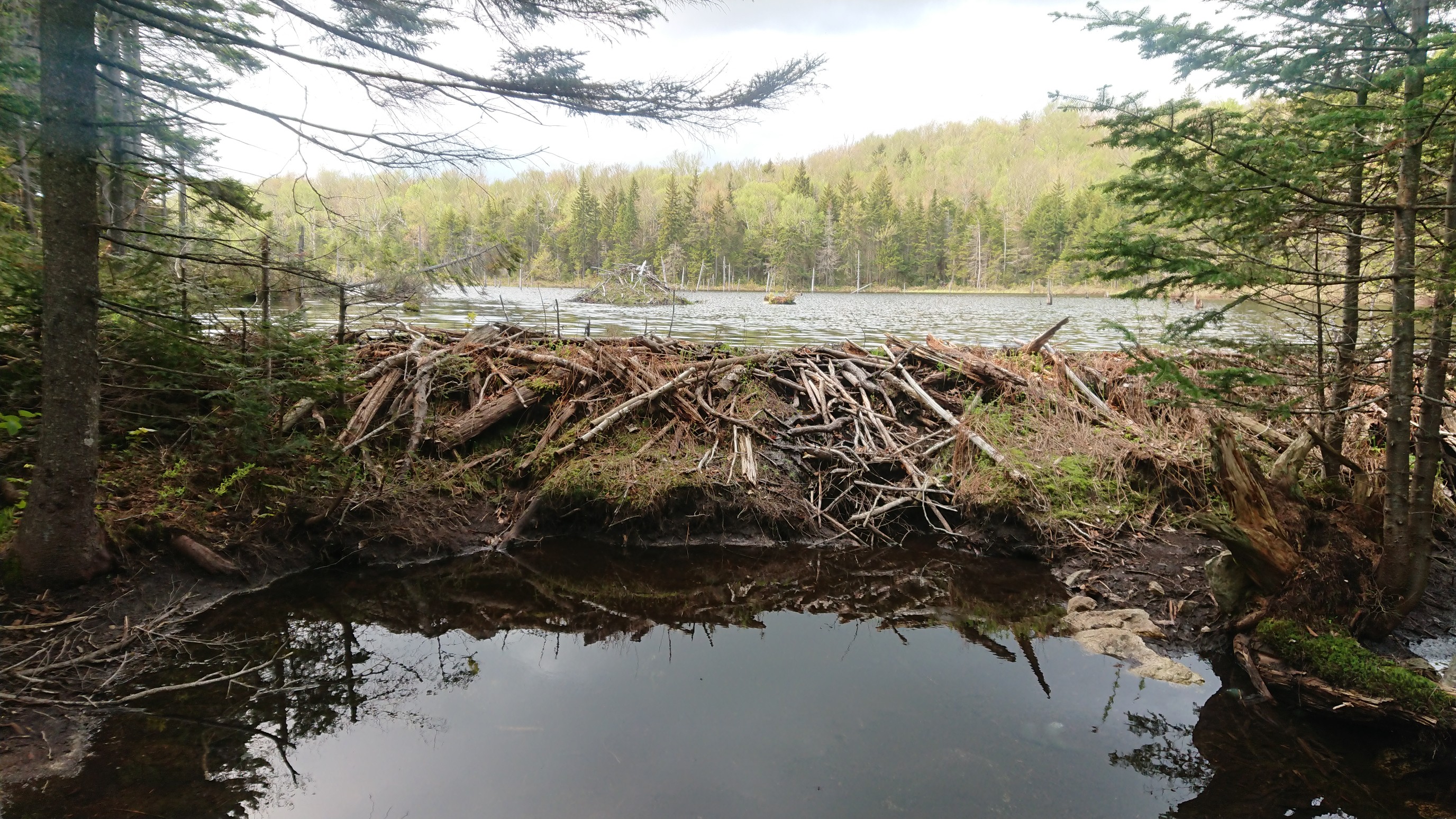
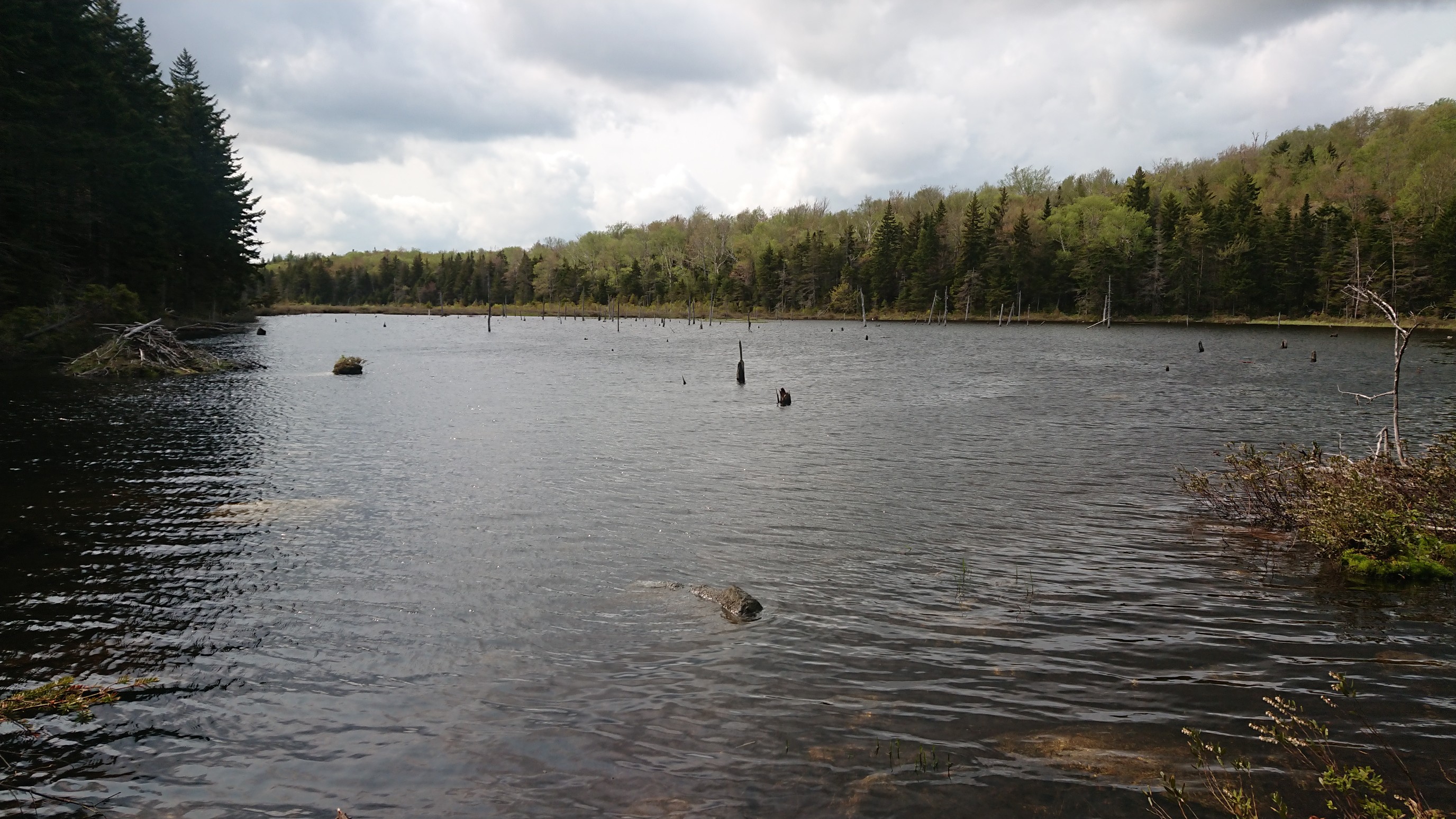
We took another afternoon break, and met two guys hiking the Long trail, and they were from RIT. Small world! The rest of the afternoon was wet muddy trail, and swampy beaver Bogs. Sometimes there were nice stepping stones to traverse a muddy section.
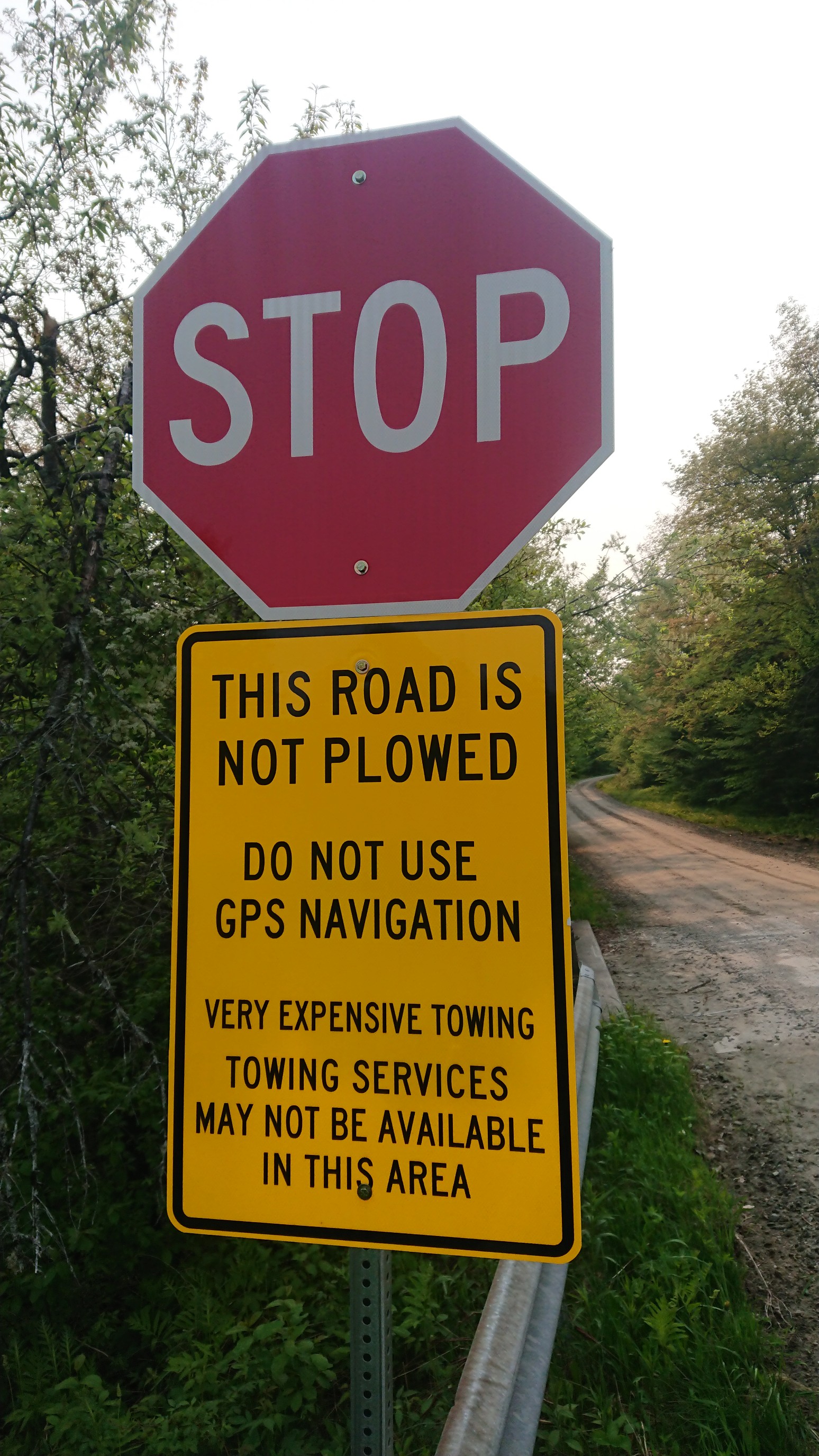
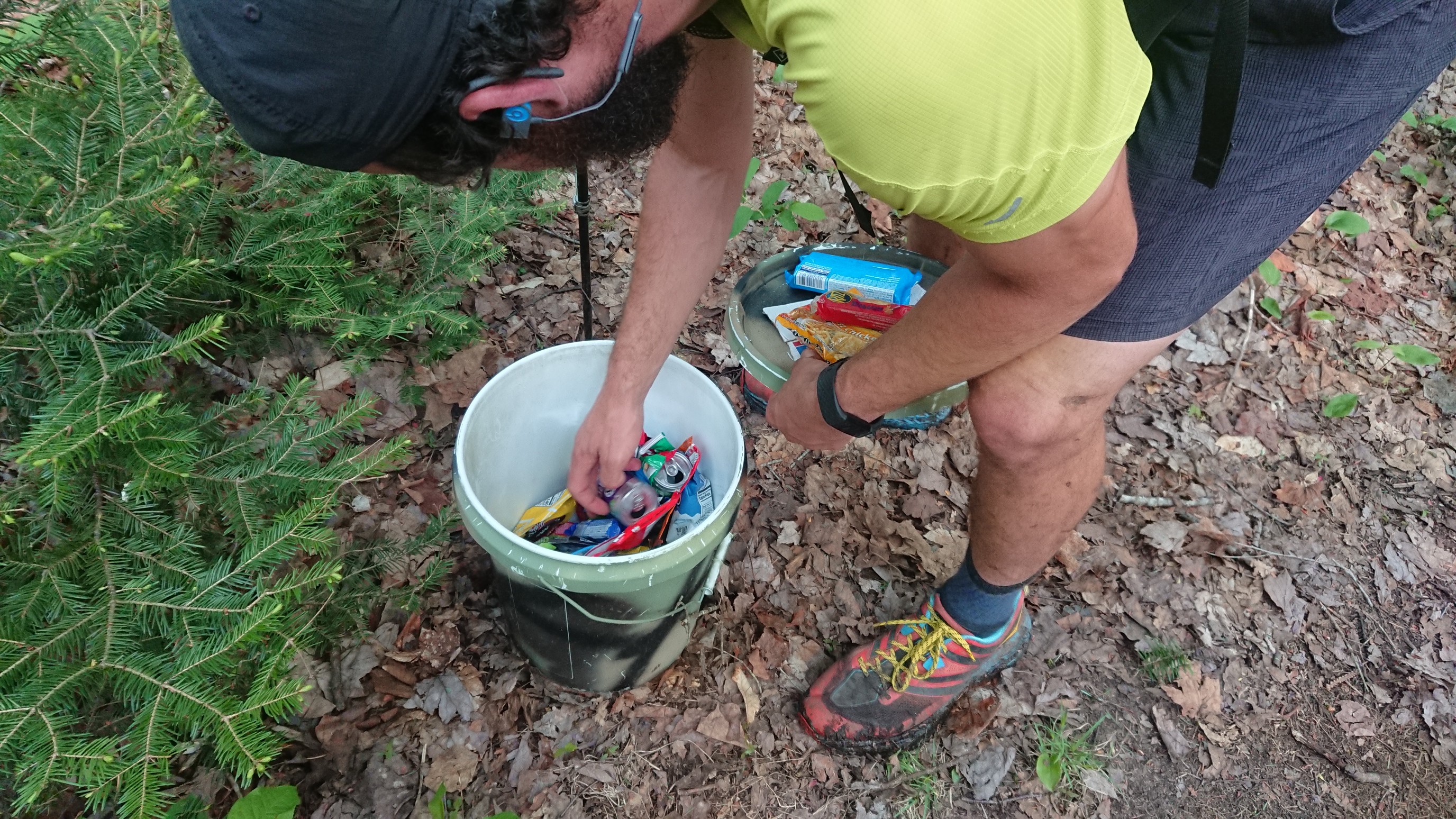
We crossed a dirt road, and found some trail magic! It appears to be from a group of hikers just a couple of days ahead of us. Cookies, chips, nuts, and a few energy drinks!
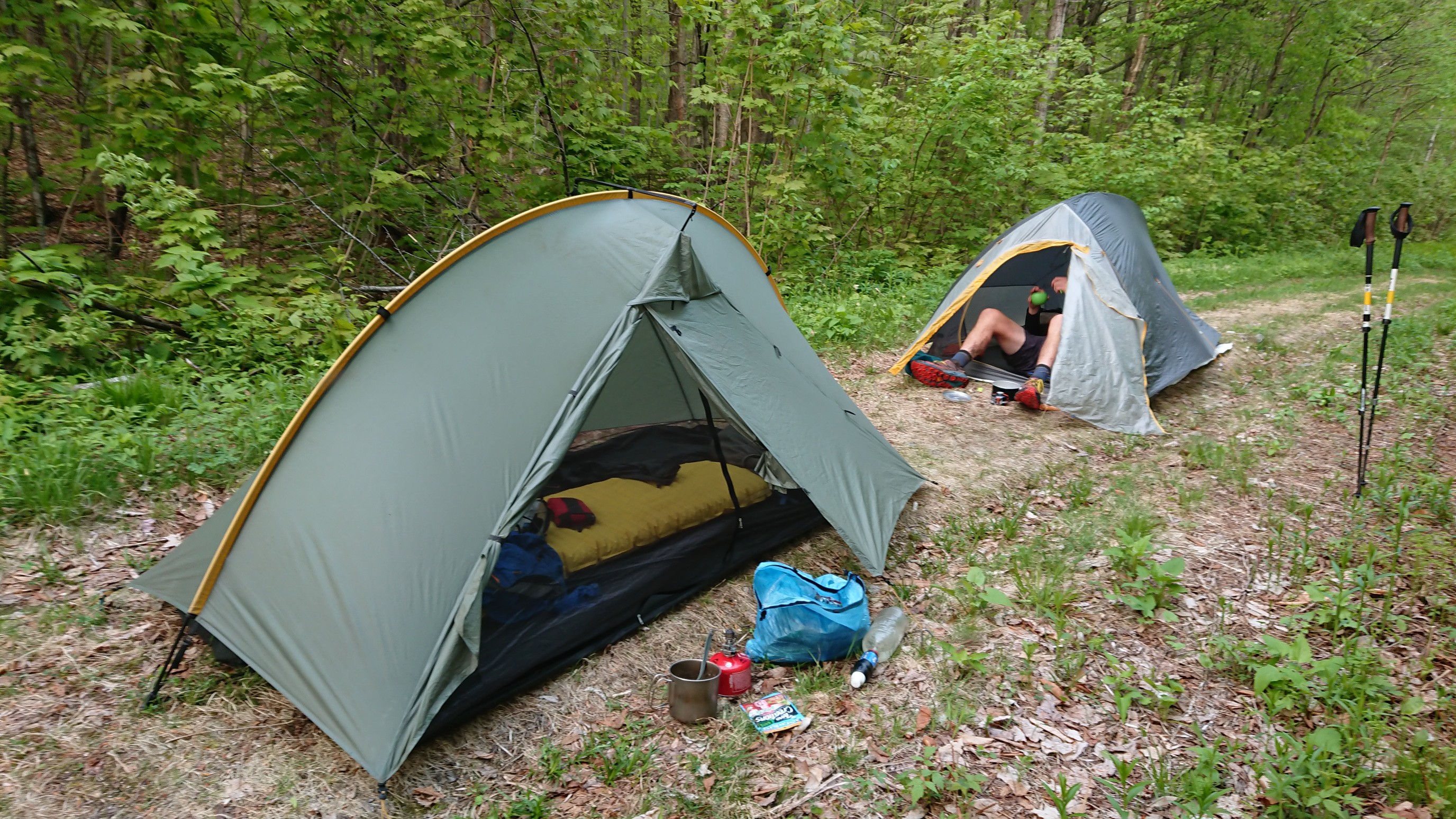
We hiked to an old dirt road at the base of Stratton mountain, and setup camp. The shelters were oddly spaced today, so no shelter tonight.
Tomorrow, we are going into town, and visiting a college friend!