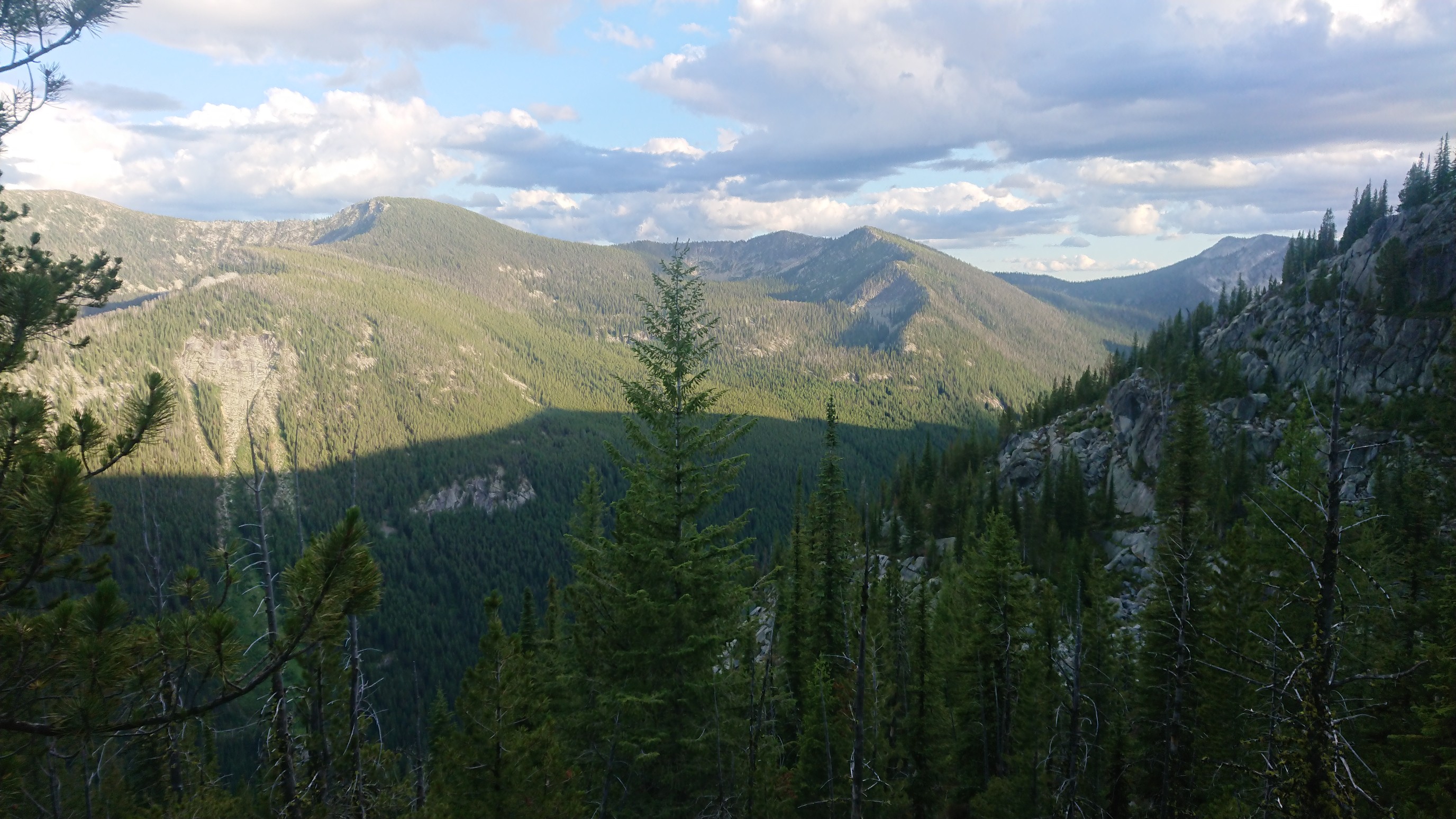
Saturday July 27, 18.1mi/29.1km
Hwy 95/ Bonners Ferry (246.0/2531ft) to Parker Peak campsite (264.1/6640ft) (ID)
I was almost packed up, and a man in a van pulls up to our camp spot. Apparently Emily had arranged a ride back to the trail, and I asked the man if he had room for one more. He did, and at 8am, we were on our way!The first nine miles were easy roadwalk, and Ghost and I had some good conversations along the way. It was nice having another hiker around.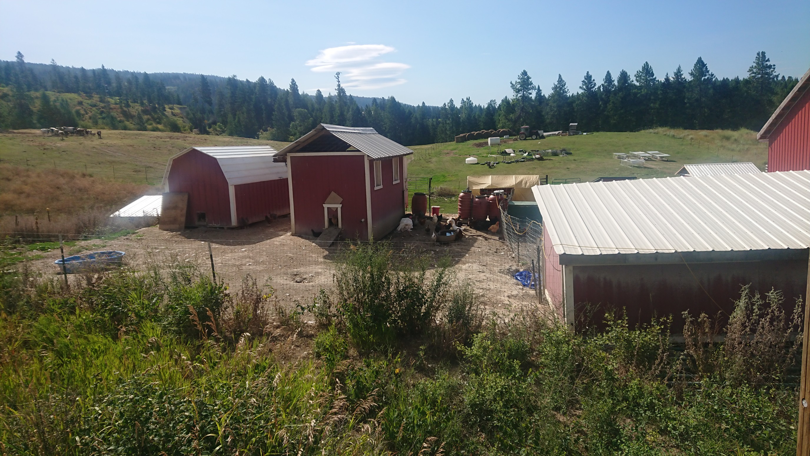
We crossed the Kootenay River, our lowest elevation for the day.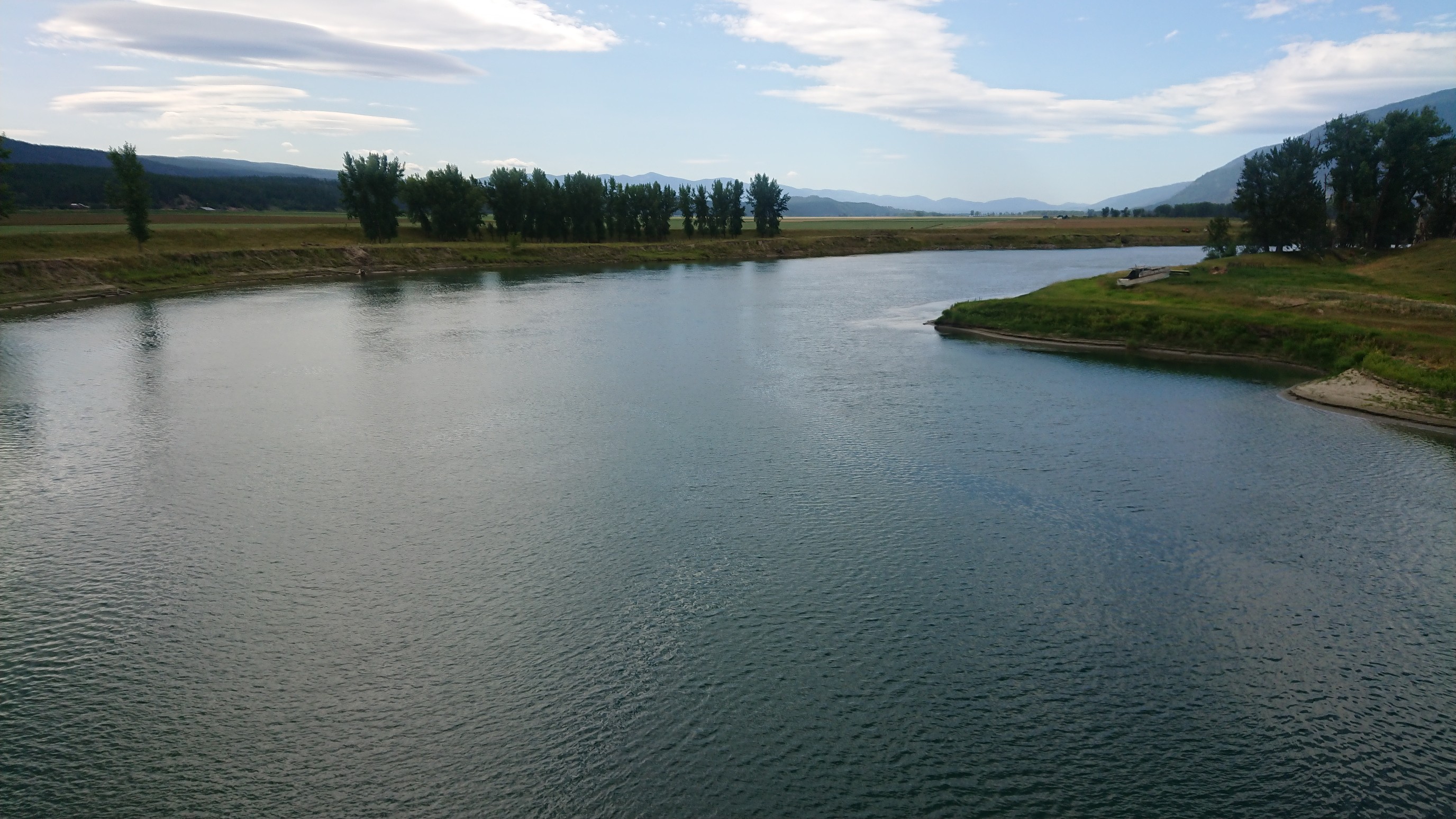
At lunchtime, we left the road, and took a break at the last water source for 5mi/8km, Parker Creek.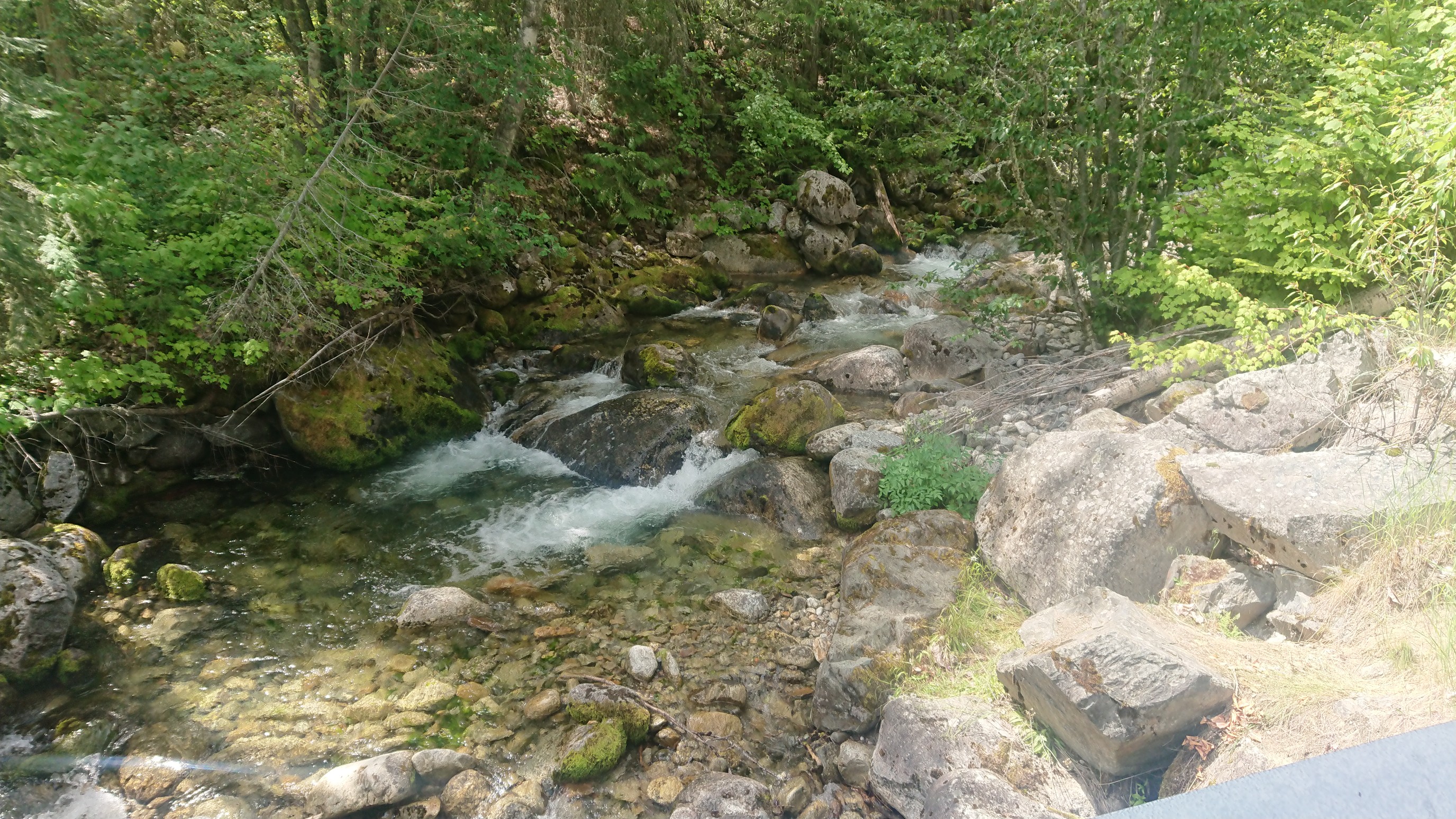
And then, the climb UP ! 5000ft uphill over 7mi/11km, most of it exposed to the sun.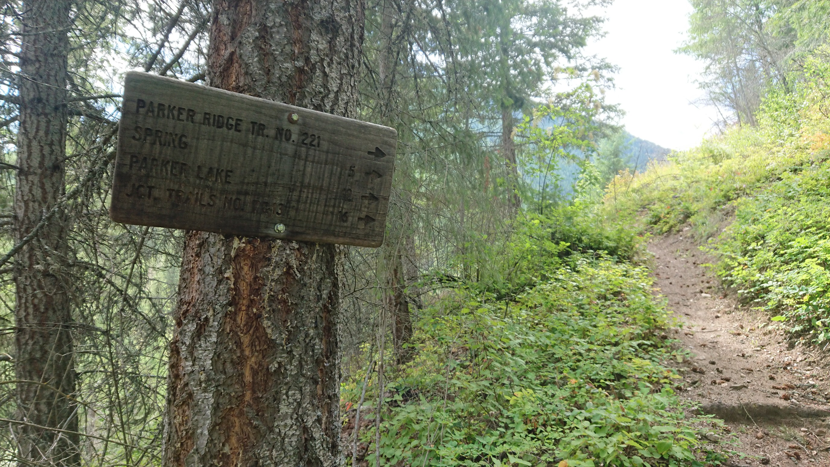
And shortly after, the injuries started. There was a fallen log across the trail, and I vaulted over it as usual. I cut my hand, and dug out the first aid kit to clean and bandage it. This is the view from my first spot: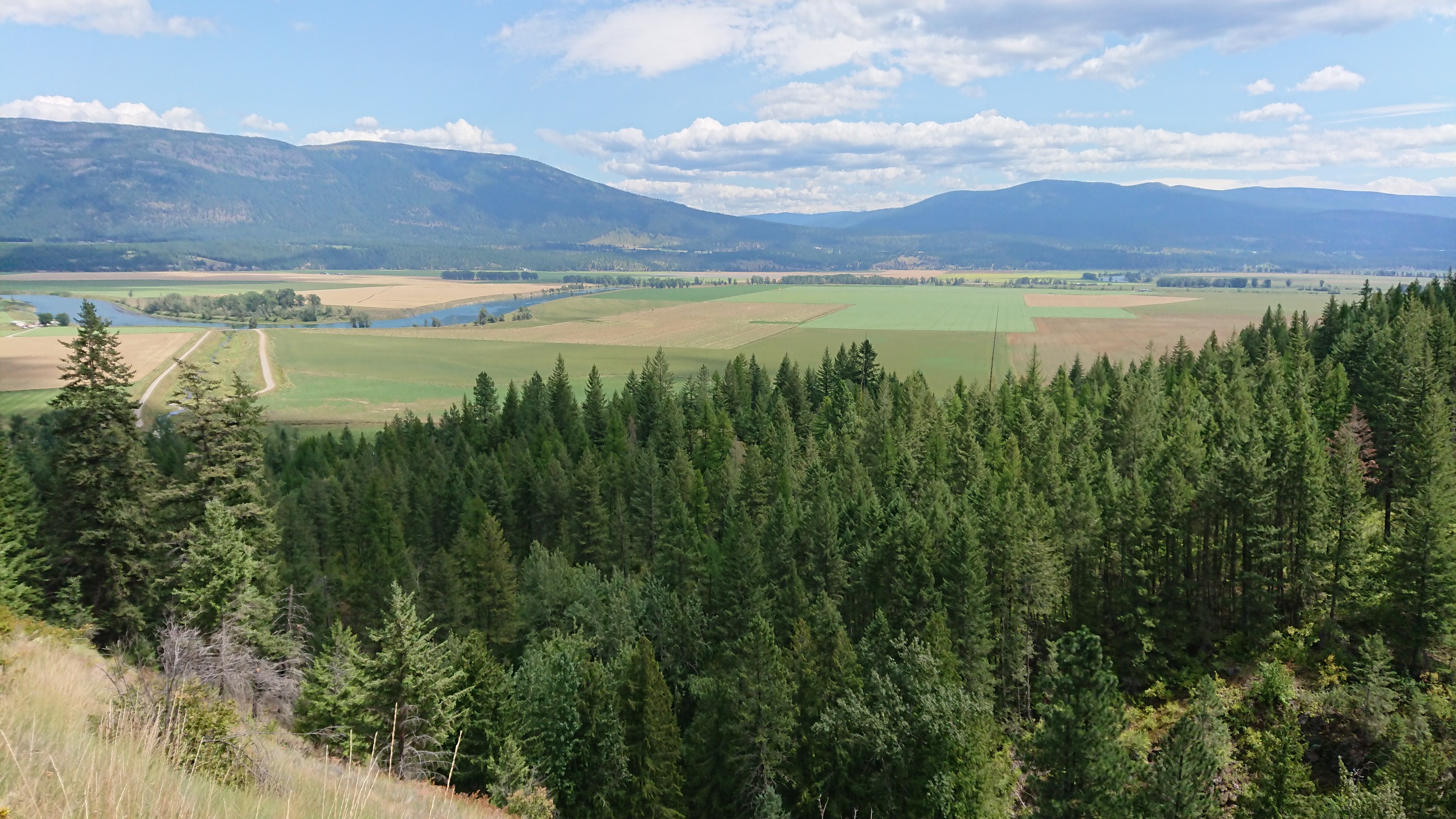
Then, the burn area continued, with lots of fallen branches to step over and around.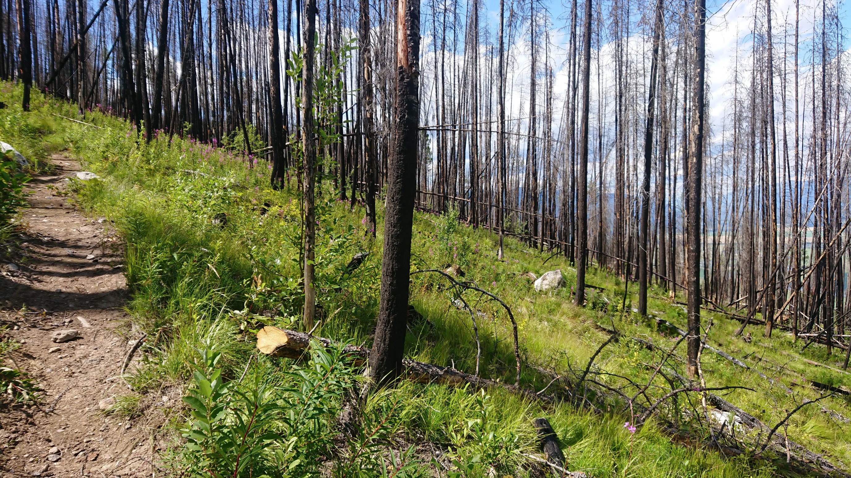
I cut up the back of my legs a bit, as sticks kept getting caught in between. There were so many trees and sticks, I started bushwhacking straight up the hill, cutting all the switchbacks. Of course, I tripped multiple times, and now my arms had dozens of bleeding scratches too.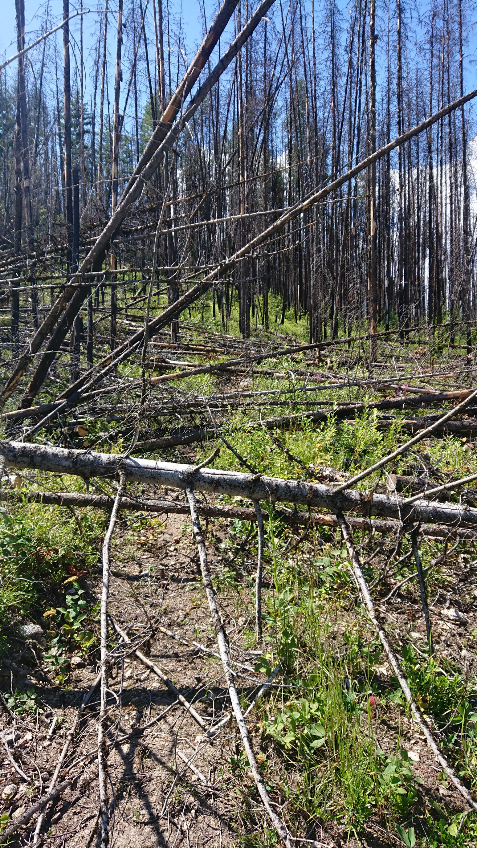
There was a spring near the top of the climb, where I washed off the dried blood, charcoal dust, and pollen. My arms and legs had layers!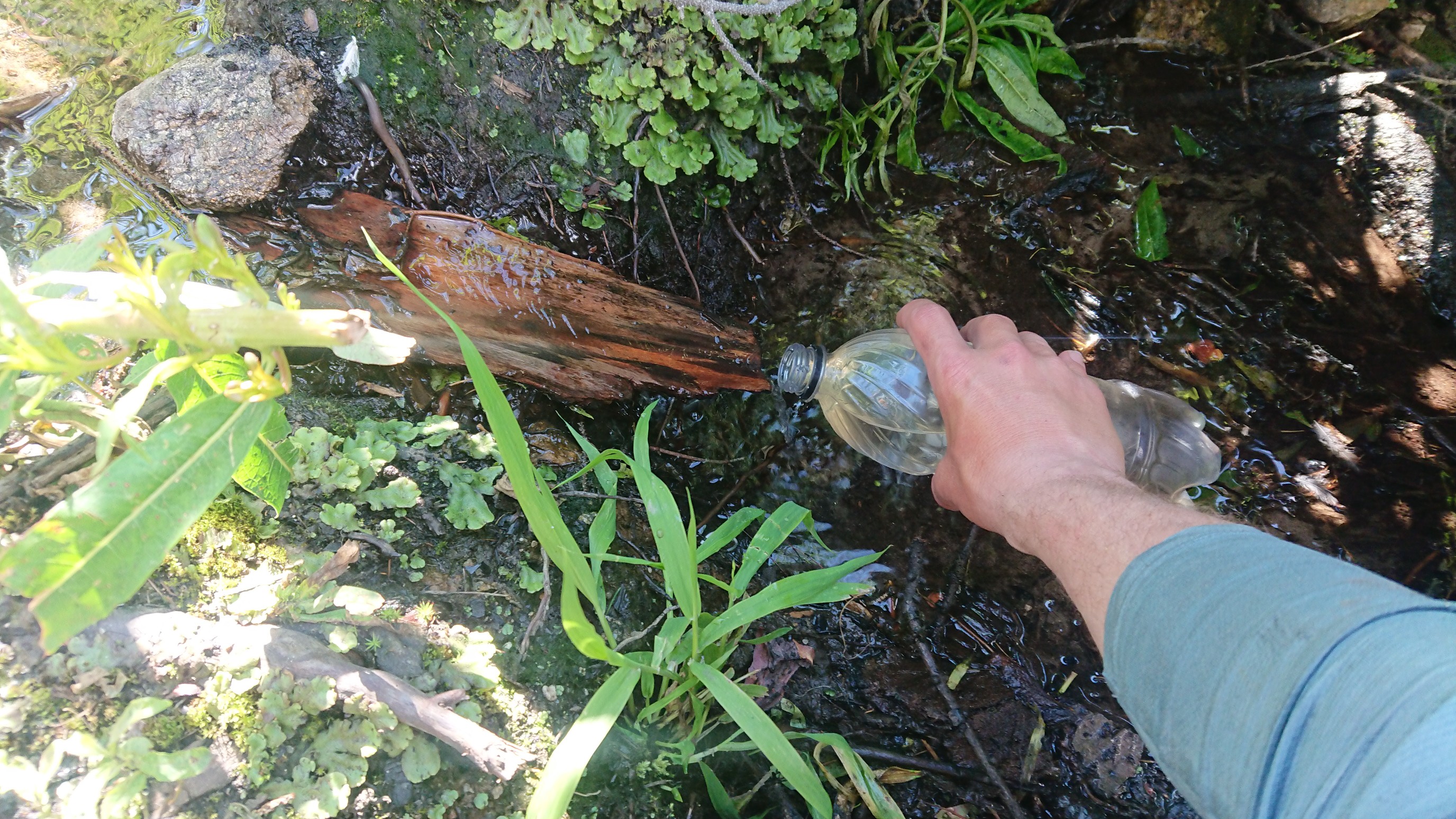
The trail left the burn area, and became much nicer after the spring. But I didn’t trust the improvement would last, so I kept my first aid kit in an outside pocket!I got to my planned campsite at 6pm, setup my tent, and admired the view before passing out.