Thursday August 8, 25.7mi/41.4km
Thirteenmile Ridge (478.5/4518ft) to Ogle Creek (498.7/3802ft) (WA) + 5.5mi alternate route
Another hot day was forecast, so I was hiking early at 6:45am.
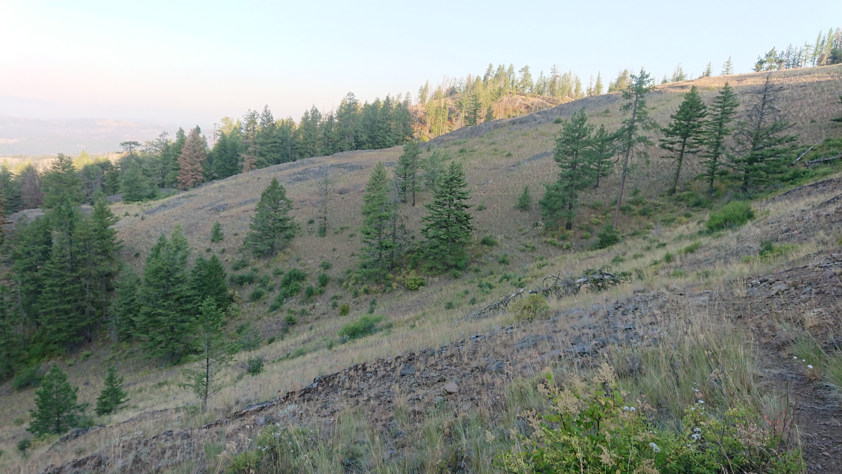
About an hour into the day, I had an option. I could do a 2.7mi bushwhack, or a 5mi alternate that is on a trail. I chose the trail!
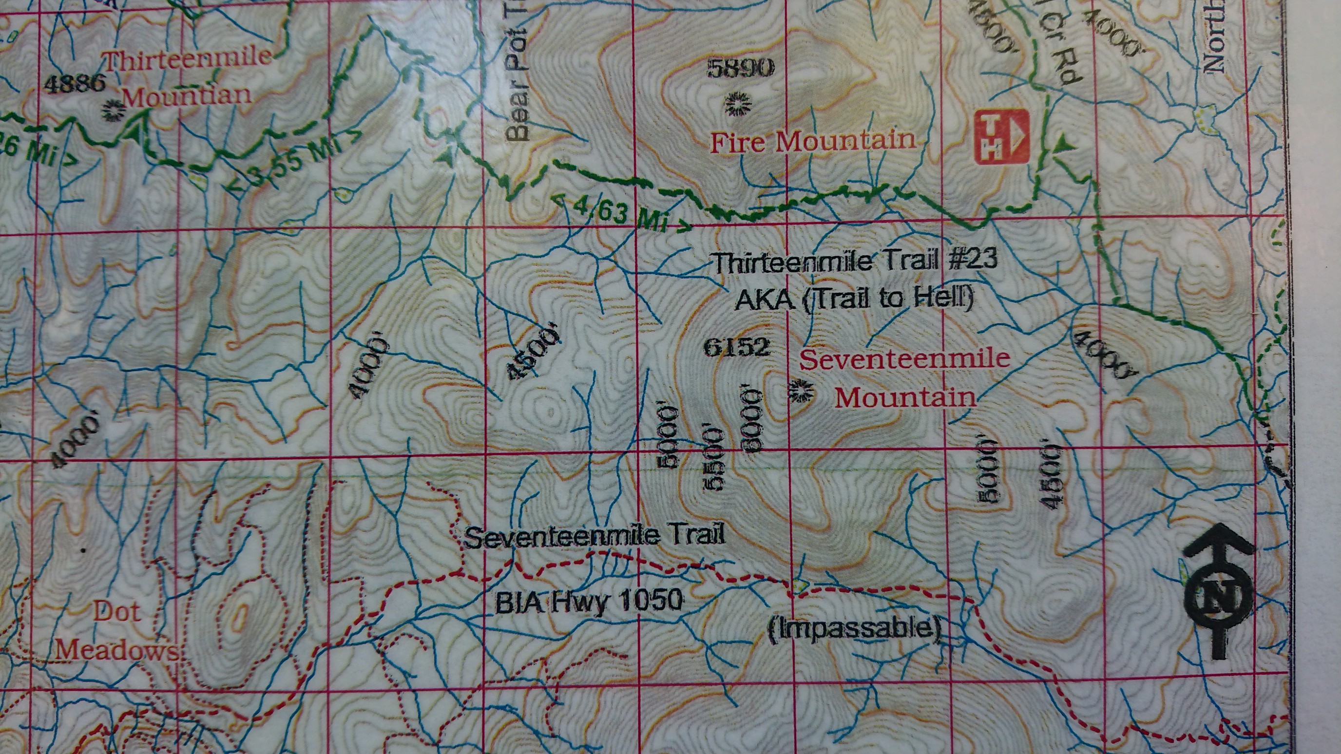
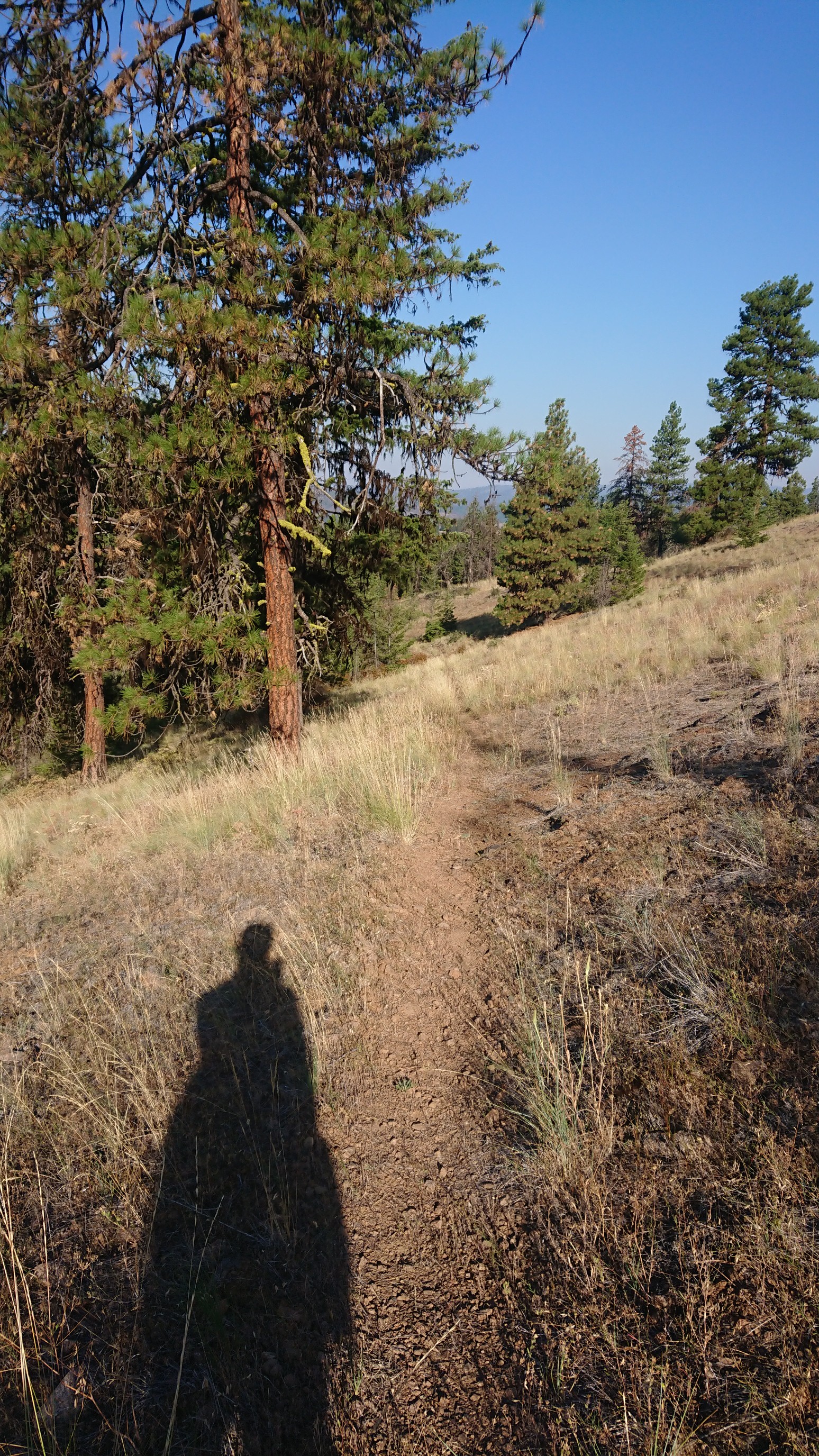
Despite the map calling it the “Trail to Hell”, I enjoyed it immensely.
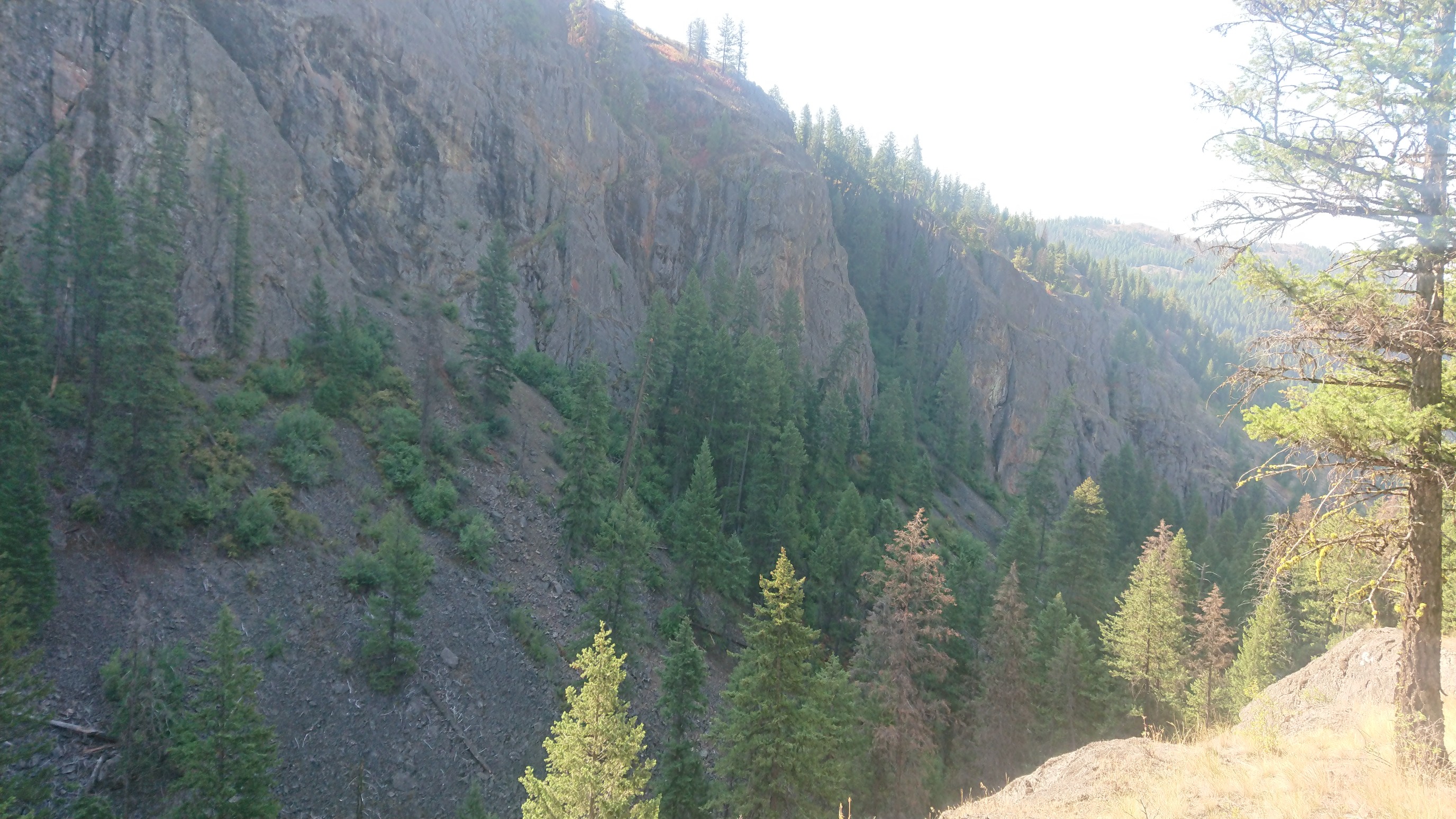
Towards the end, it dropped into the San Poil River canyon, with 1000ft volcanic rock walls.
There was a short bit of paved roadwalk to link back to the official PNT. It was getting hot, so I didn’t stop until I was off the shadeless road. At least the views were great!
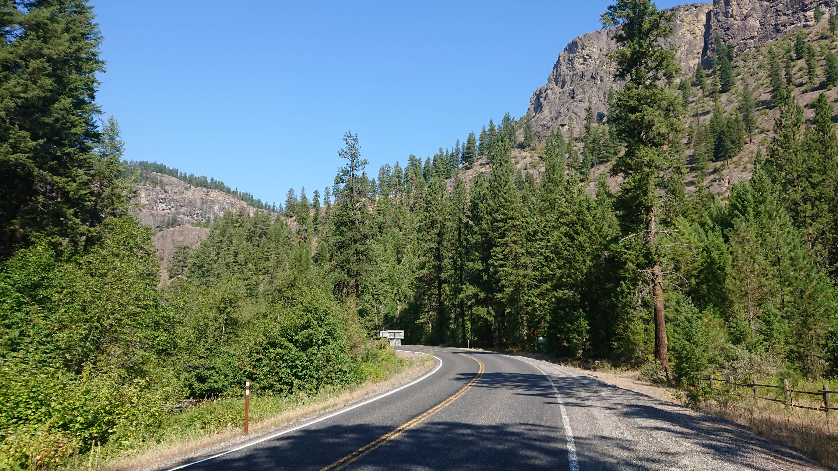
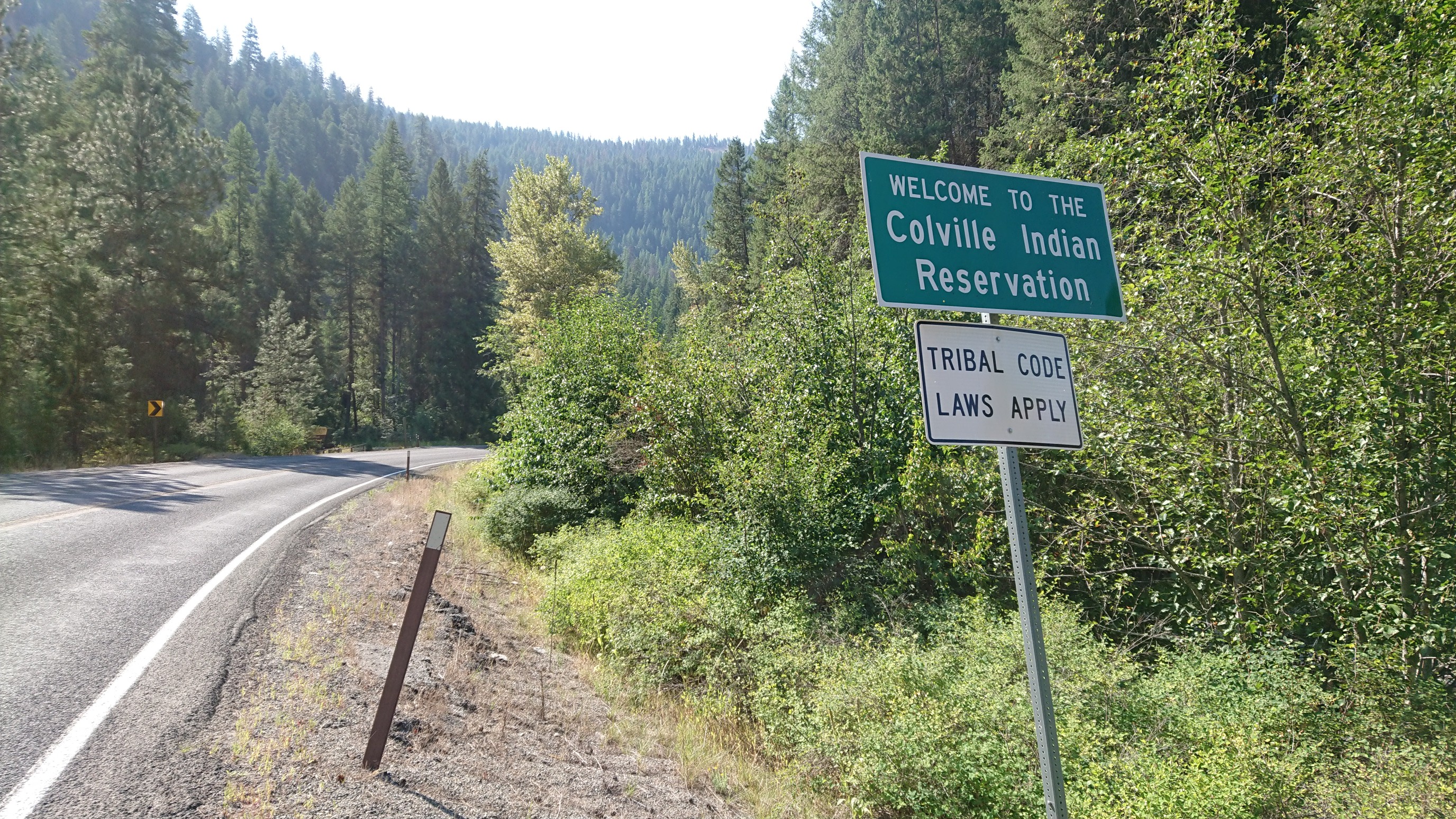
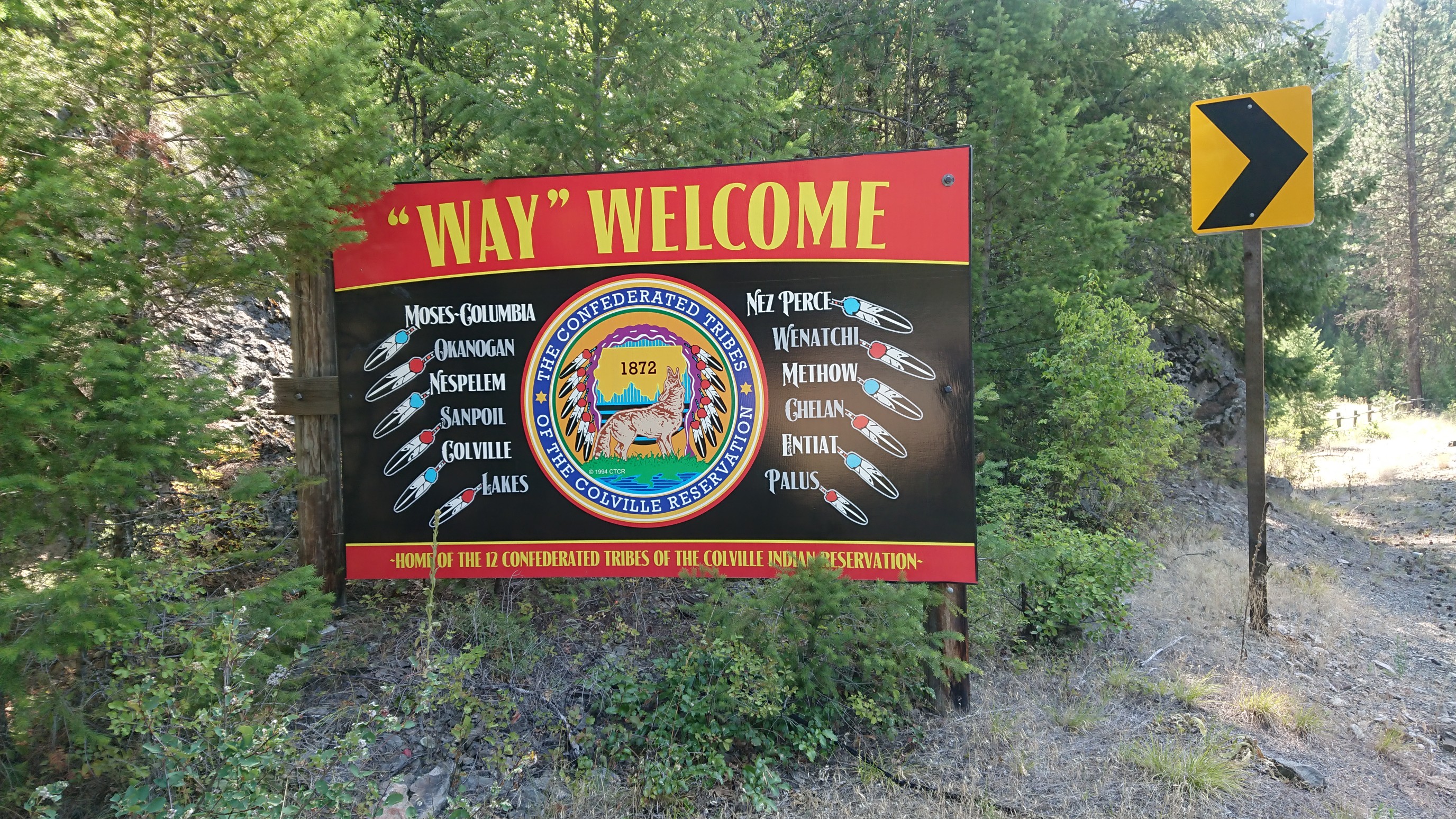
The road also briefly crossed into Colville Nation territory. Neat!
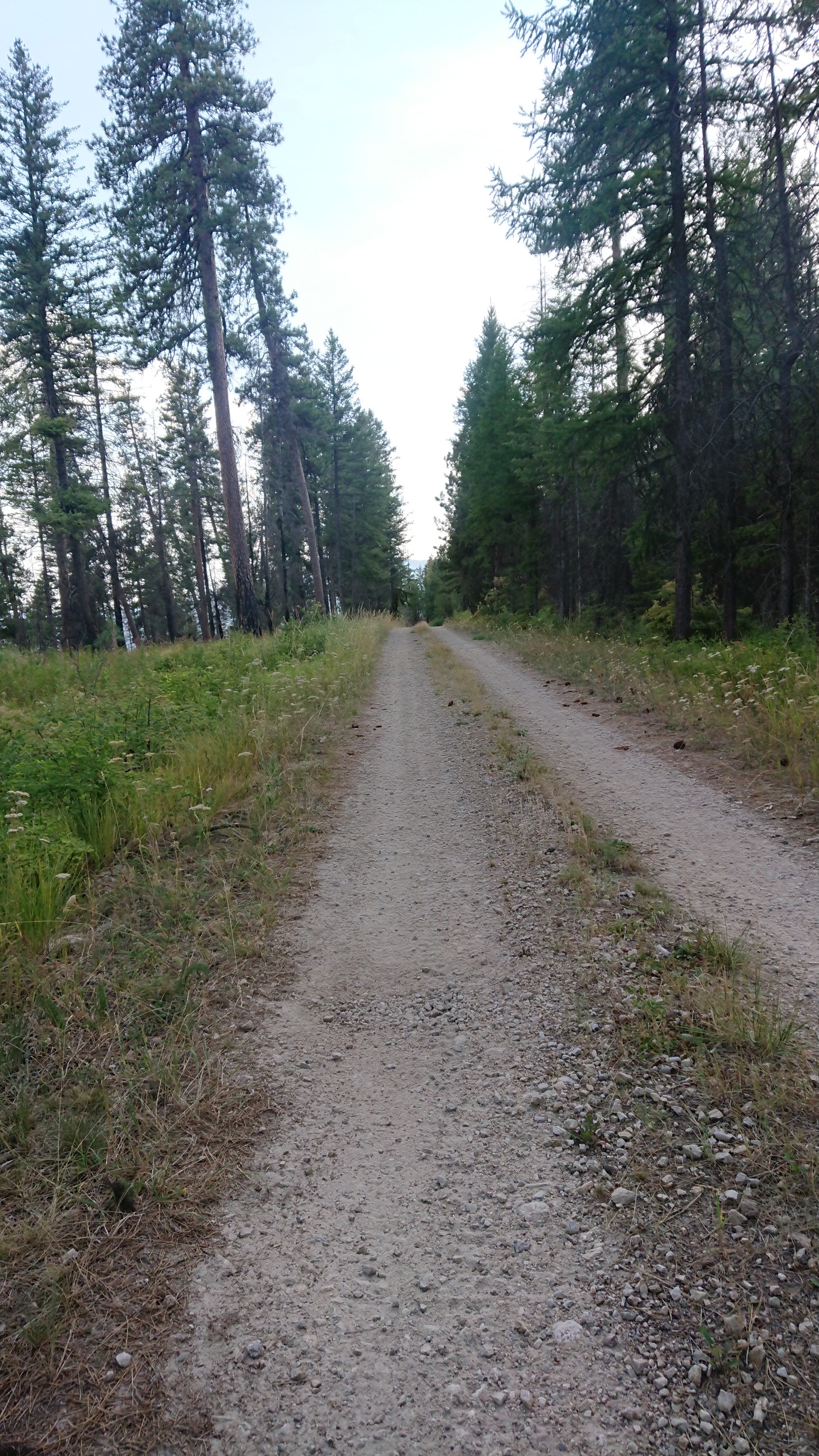
I stopped for a break and to refill water at a FS campground. Most of the rest of the day was on dirt roads, and I only saw one car in five hours.
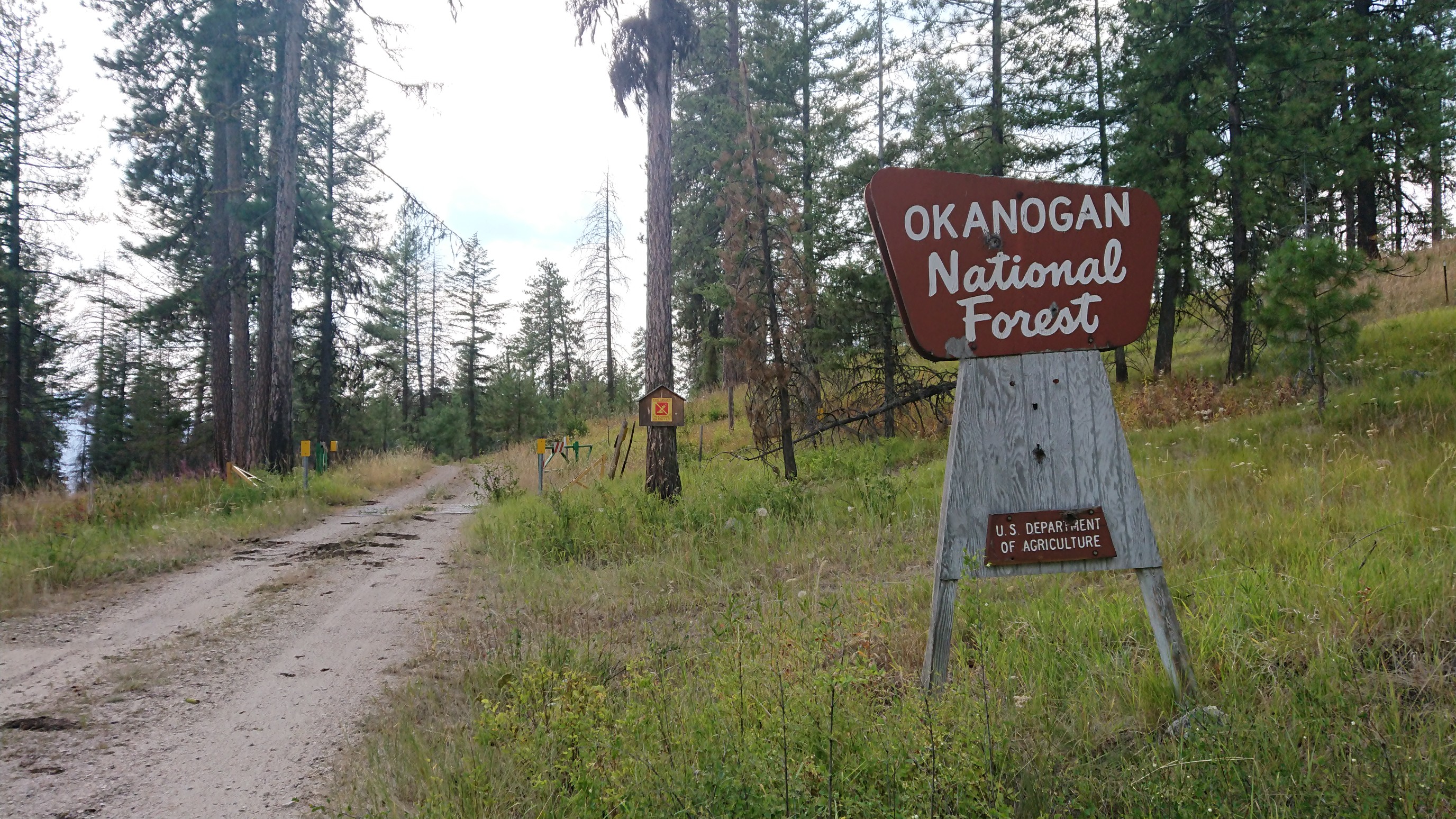
Just before I stopped to camp, I crossed into a new national forest. Goodbye Colville NF, hello Okanogan NF!
I stopped to camp near Ogle Creek, I don’t normally camp near creeks but water is so scarce here. It’s a nice spot, though a little creepy to hear the cows roaming around here in the dark. Moo.