Friday August 16, 28.0mi/45.1km
Bald Mt. Ridge (649.6/7110ft) to Pasayten Airfield (677.6/4275ft) (WA)
Camping at 7000ft elevation is cold! I hiked with a hat and gloves on for the first hour, since it was only 45F/7C, and I was walking downhill and not working hard to generate heat. But it was a nice sunny morning!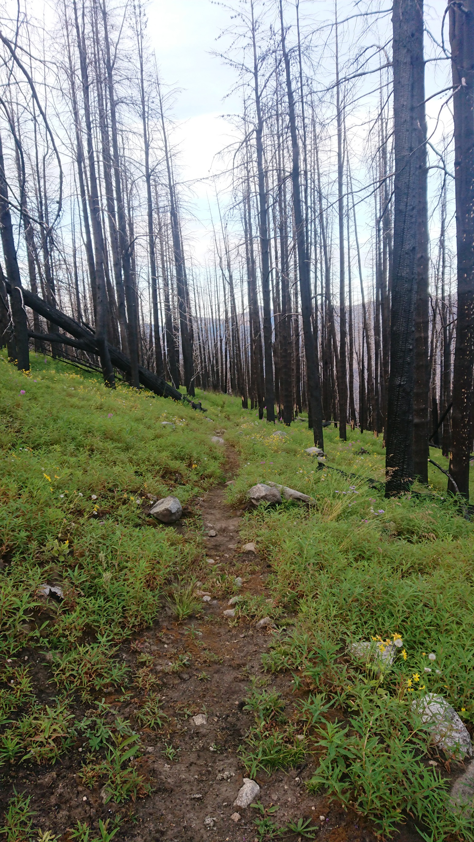
Looking down on the Ashnola River, which I will soon ford across. All the brown trees are burned.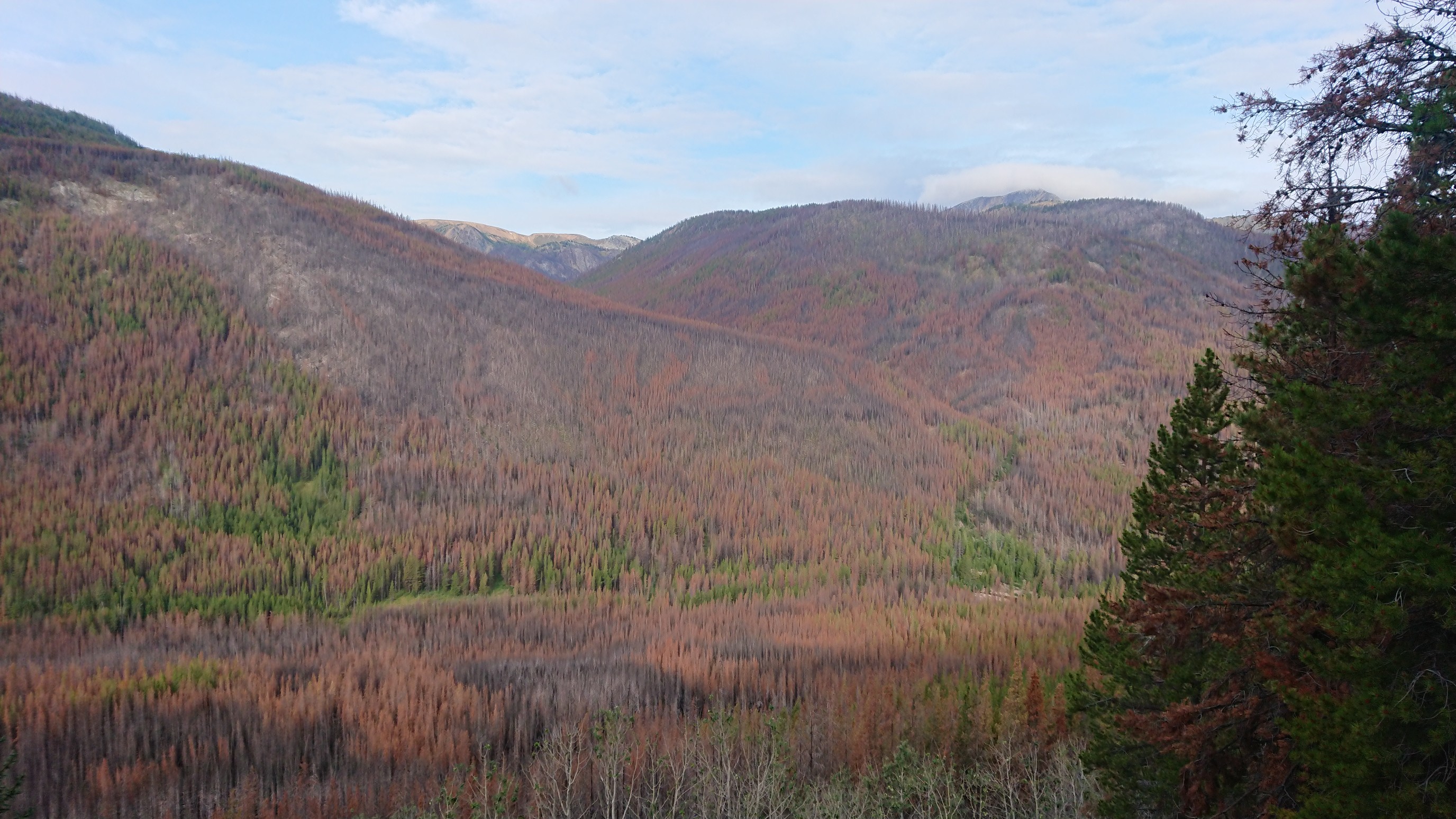
After descending 2000ft/600m and crossing the river, I went right back uphill the same amount. Sheep Mountain was pretty in the morning sunlight.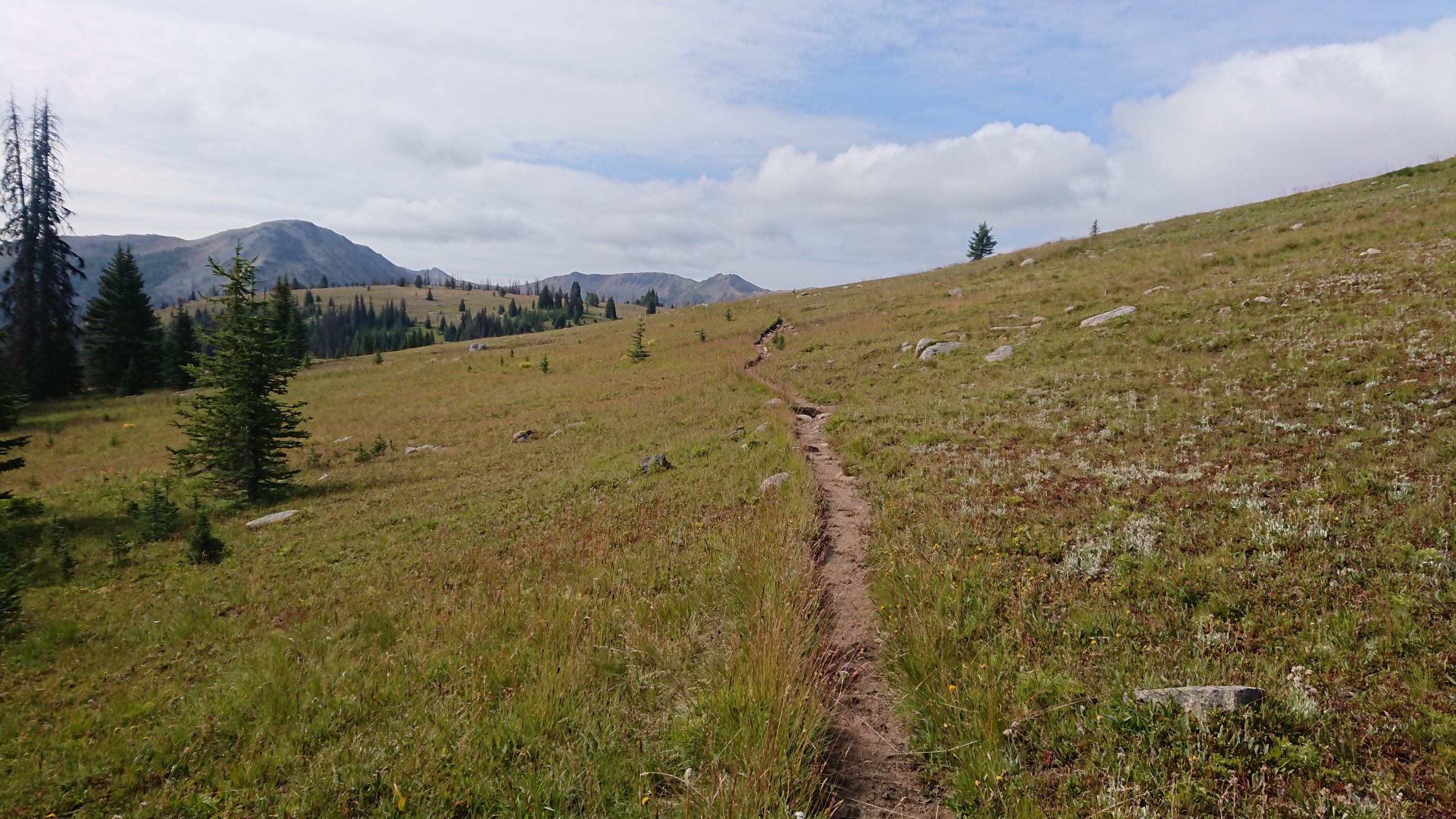
In the afternoon, the clouds gathered and it wasn’t as warm in the shade. At least they weren’t the rainy type of clouds.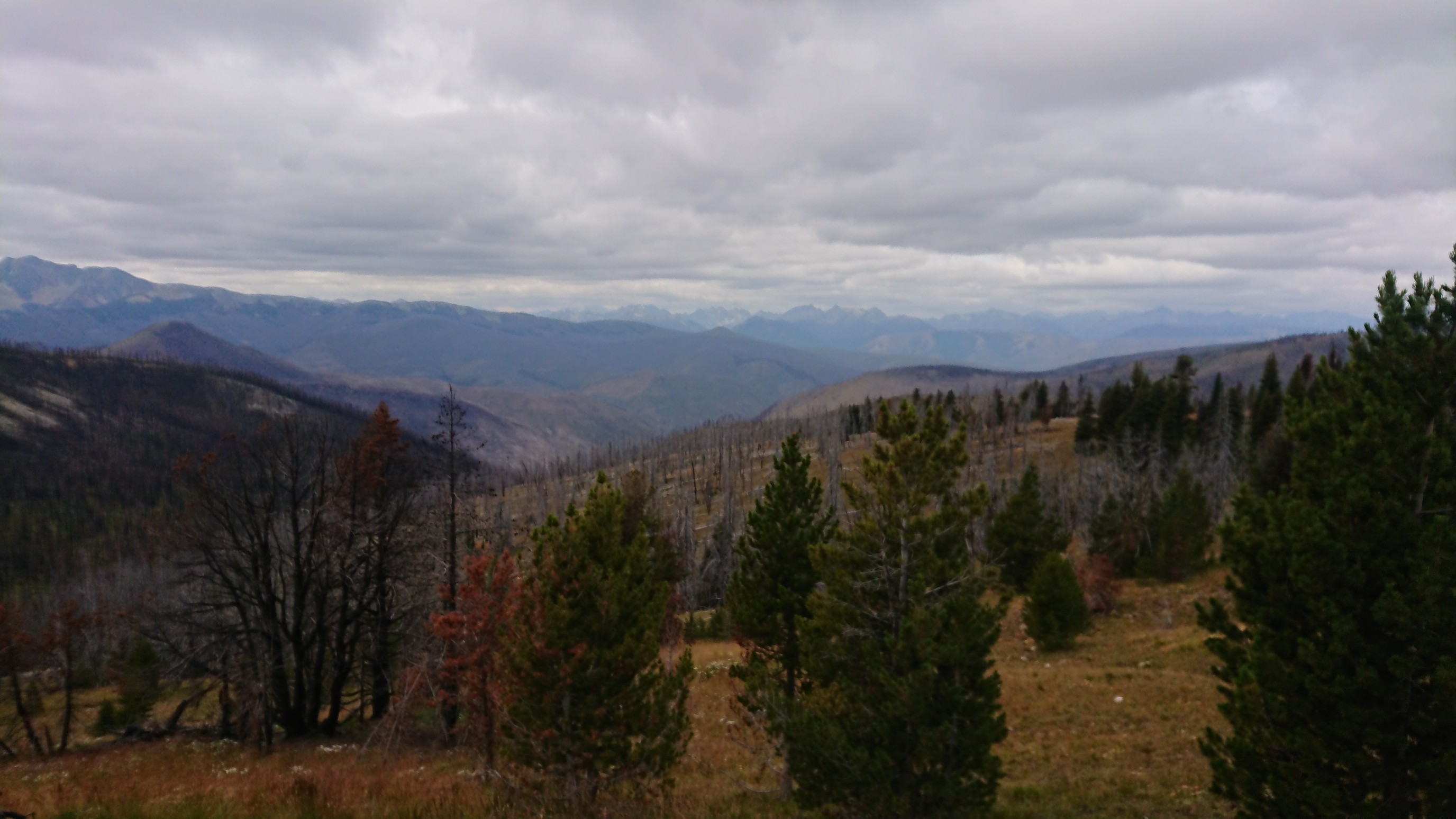
Those are some big mountains in the distance. The Cascades!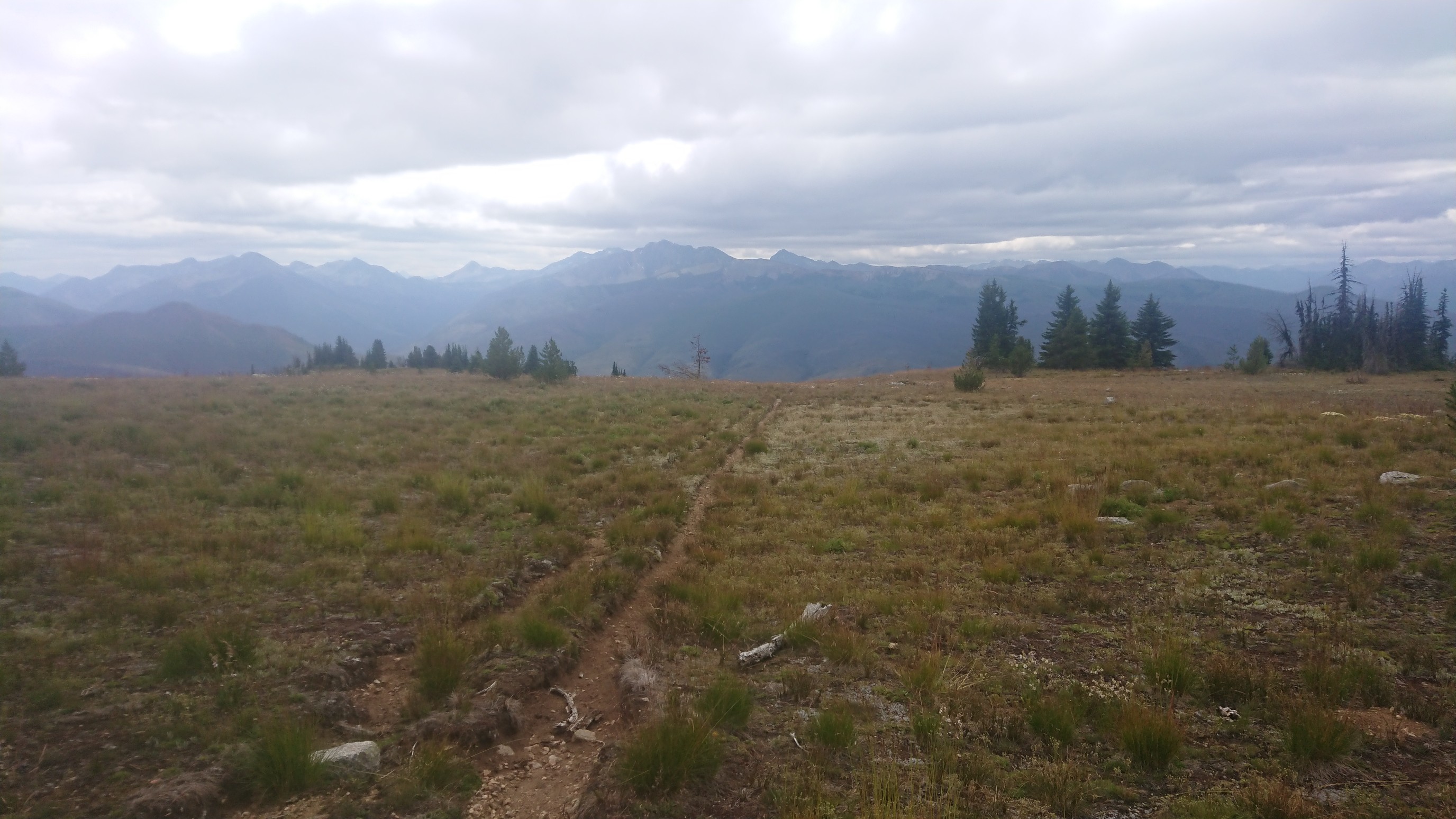
On the descent to the Pasayten River, I paused for awhile at a confusing trail junction. There was a sign, but it was badly burned.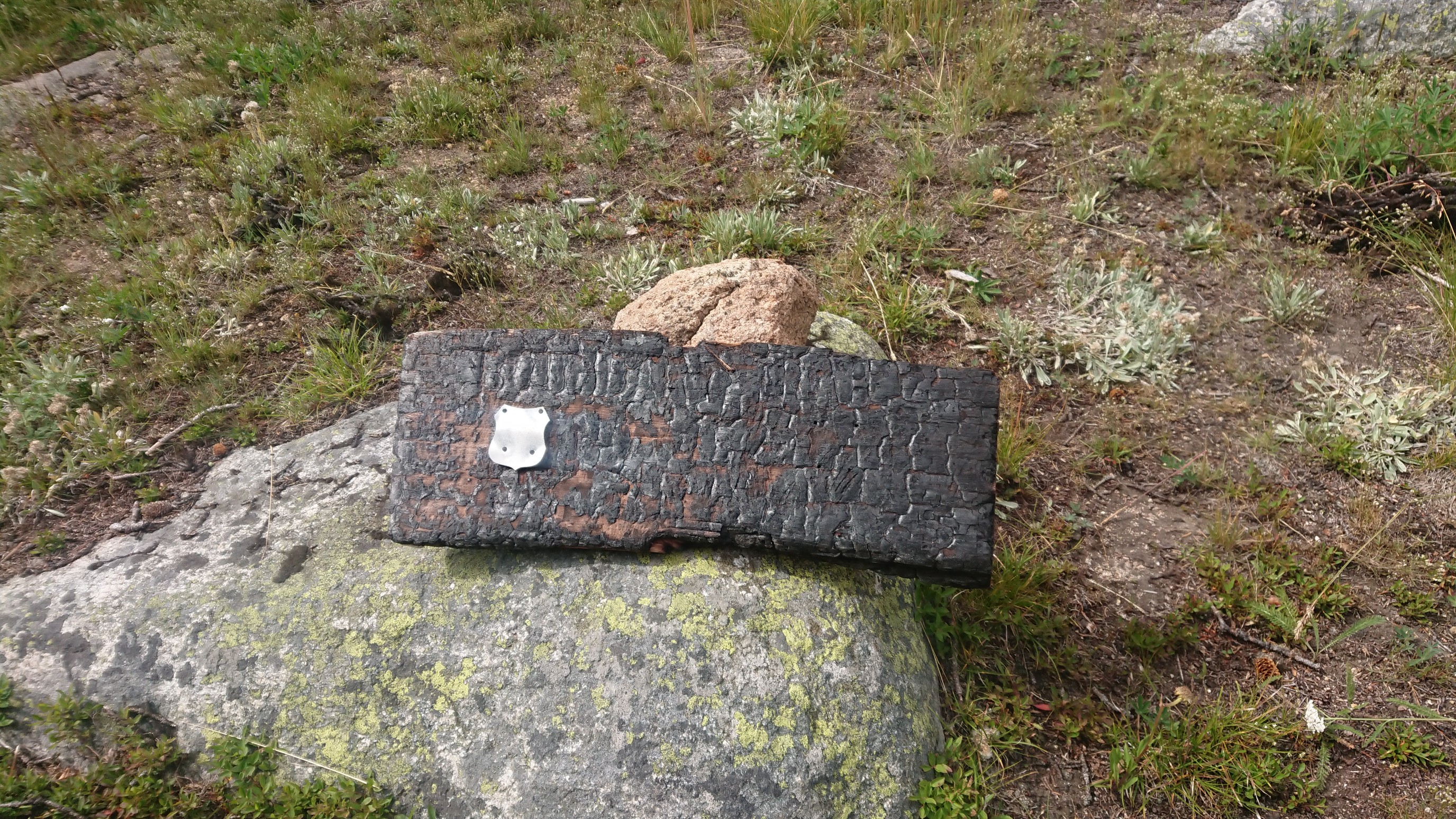
I had heard reports of this section of trail being an obstacle course of hundreds of fallen trees. I must have good timing, a trail crew is out here all summer cleaning up the PNT, and I only had to climb over two logs!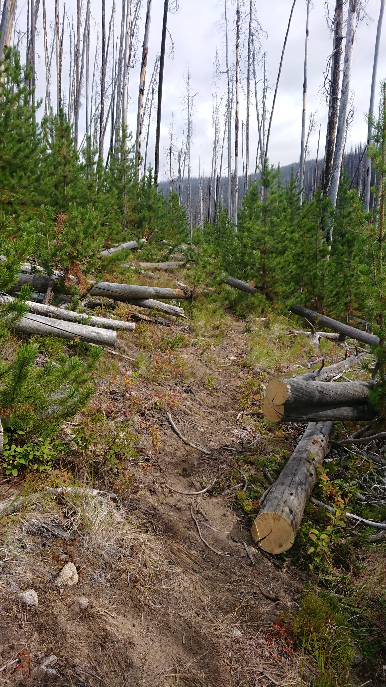
I actually got to meet them, they were camped by the Pasayten River. The four of them and I talked for an hour, and they offered me a snack! Mmm… chips and salsa. I had originally planned to camp there, but the area was full of standing dead trees. So I kept hiking. And hiking. Finally at 7pm I came to some green forest, an area known as the Pasayten Airfield. It used to be an active airfield in the 1930s, but now it’s just a large area of perfectly flat ground. Perfect for camping!