Thursday October 3, 20.2mi/32.5km
Trina-Wildrose Road (34.8/2510ft) to Ridge above Darwin Canyon (55.0/3280ft) (CA)
It was a warm night, and I started off hiking in shorts at 7:30am.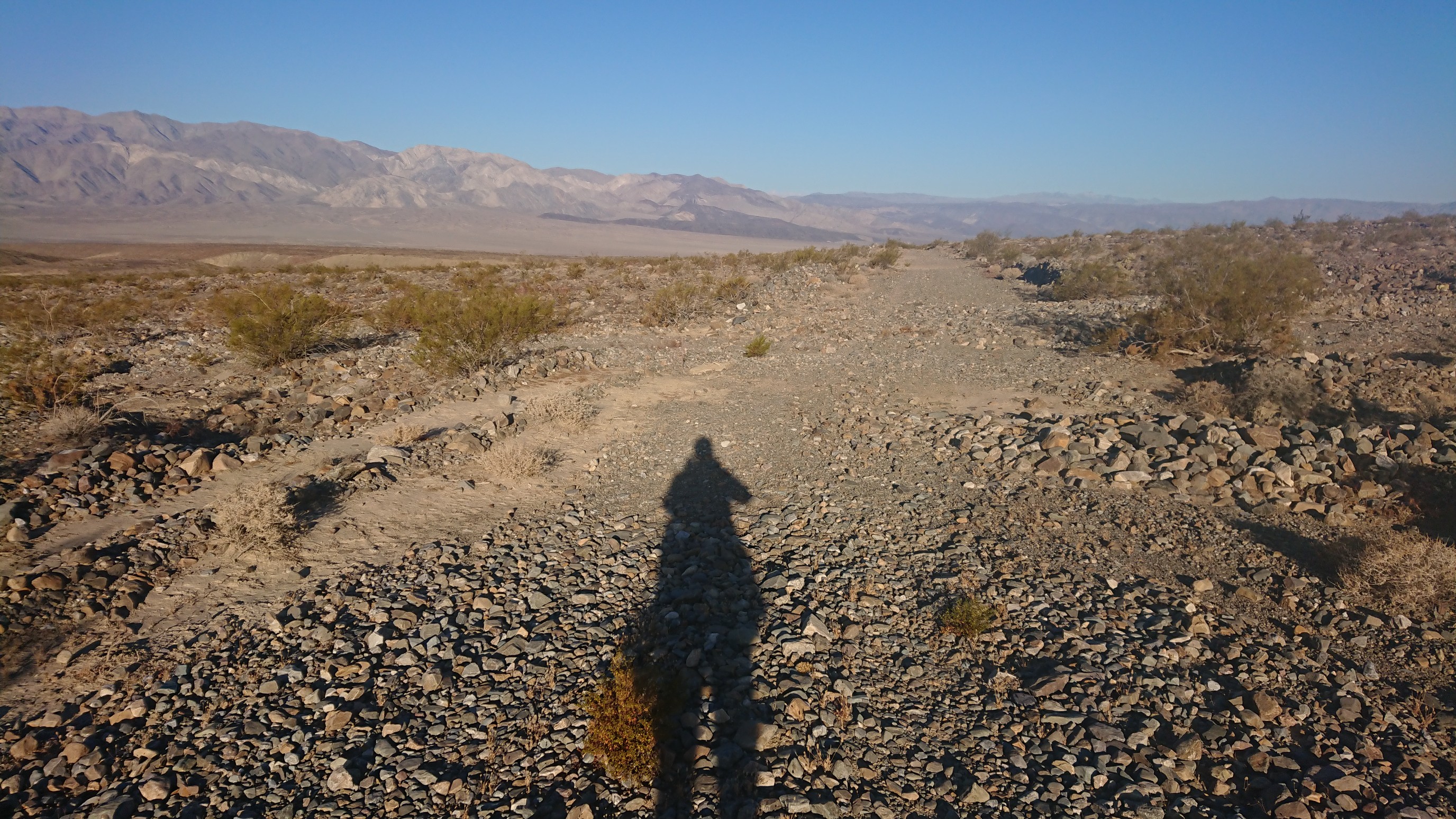
The desert warmed up quickly, and by 10am I was hiking under my umbrella. The Panamint Valley is less than 2000ft elevation, so I expected it would be hot today.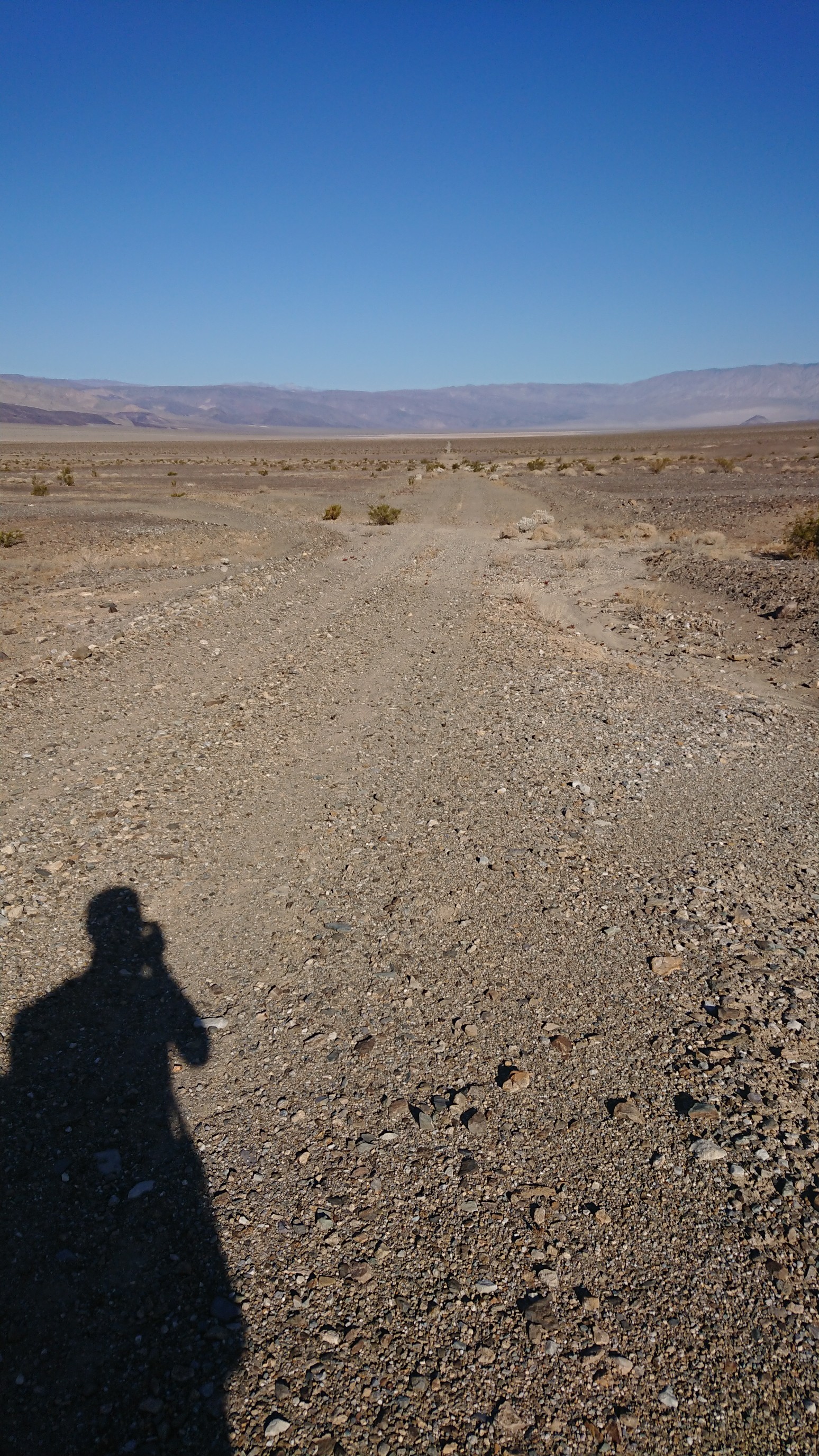
Apparently there is a military base nearby, as I kept hearing jets all morning. Finally, I saw one. It was only a few hundred feet above the ground!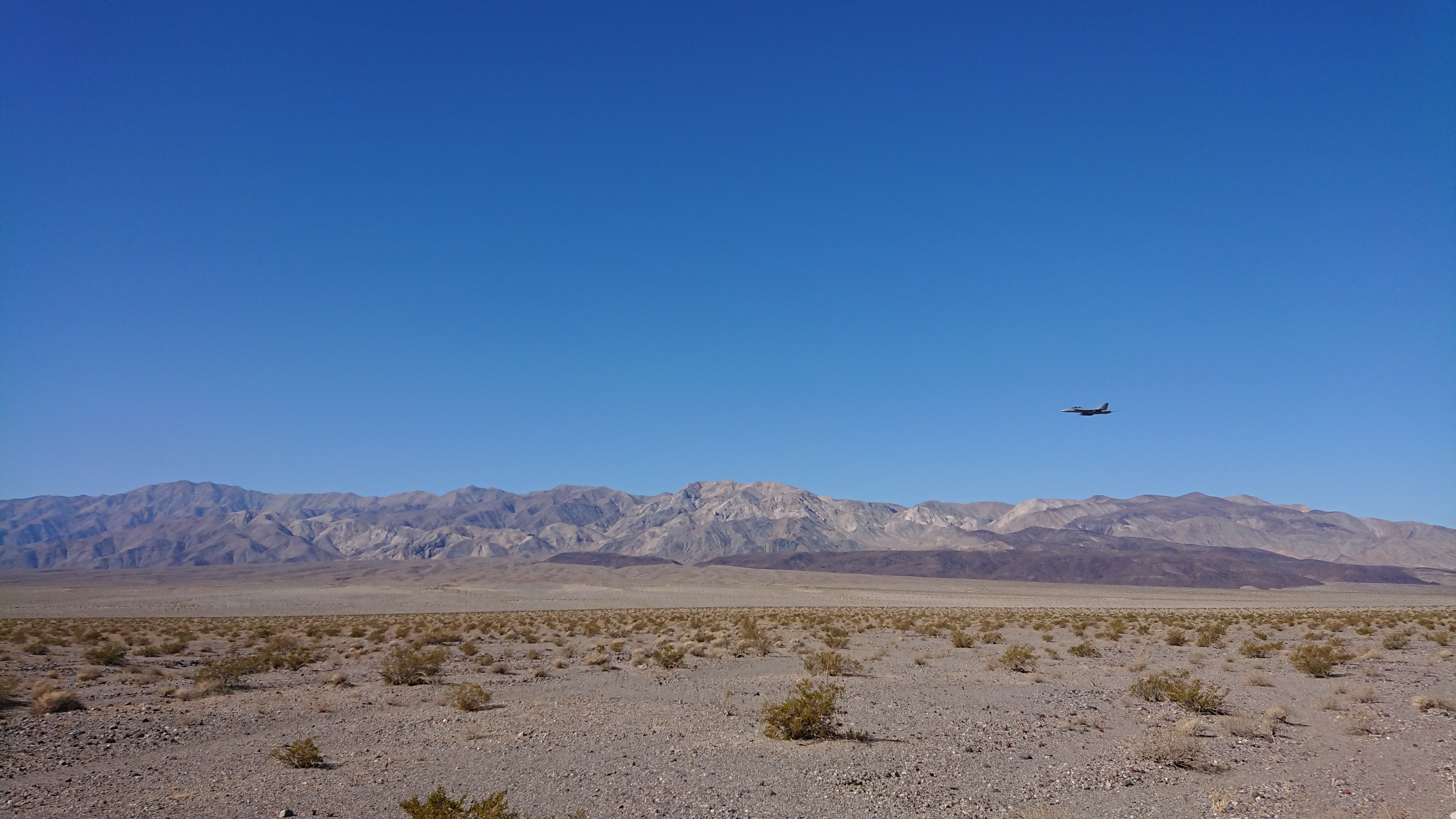
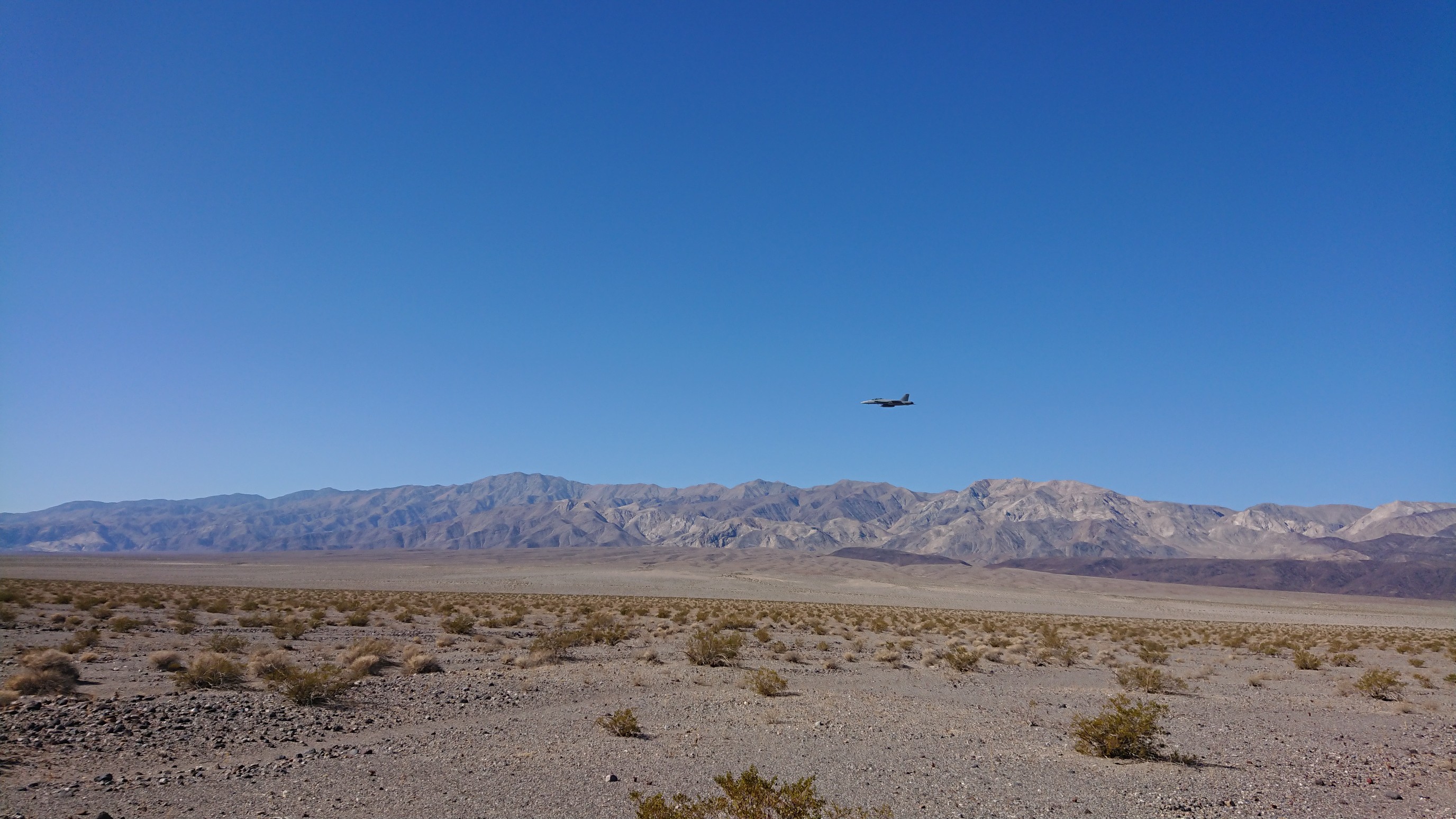
A few seconds after the jet passed by, I heard it go by. Sound travels slowly.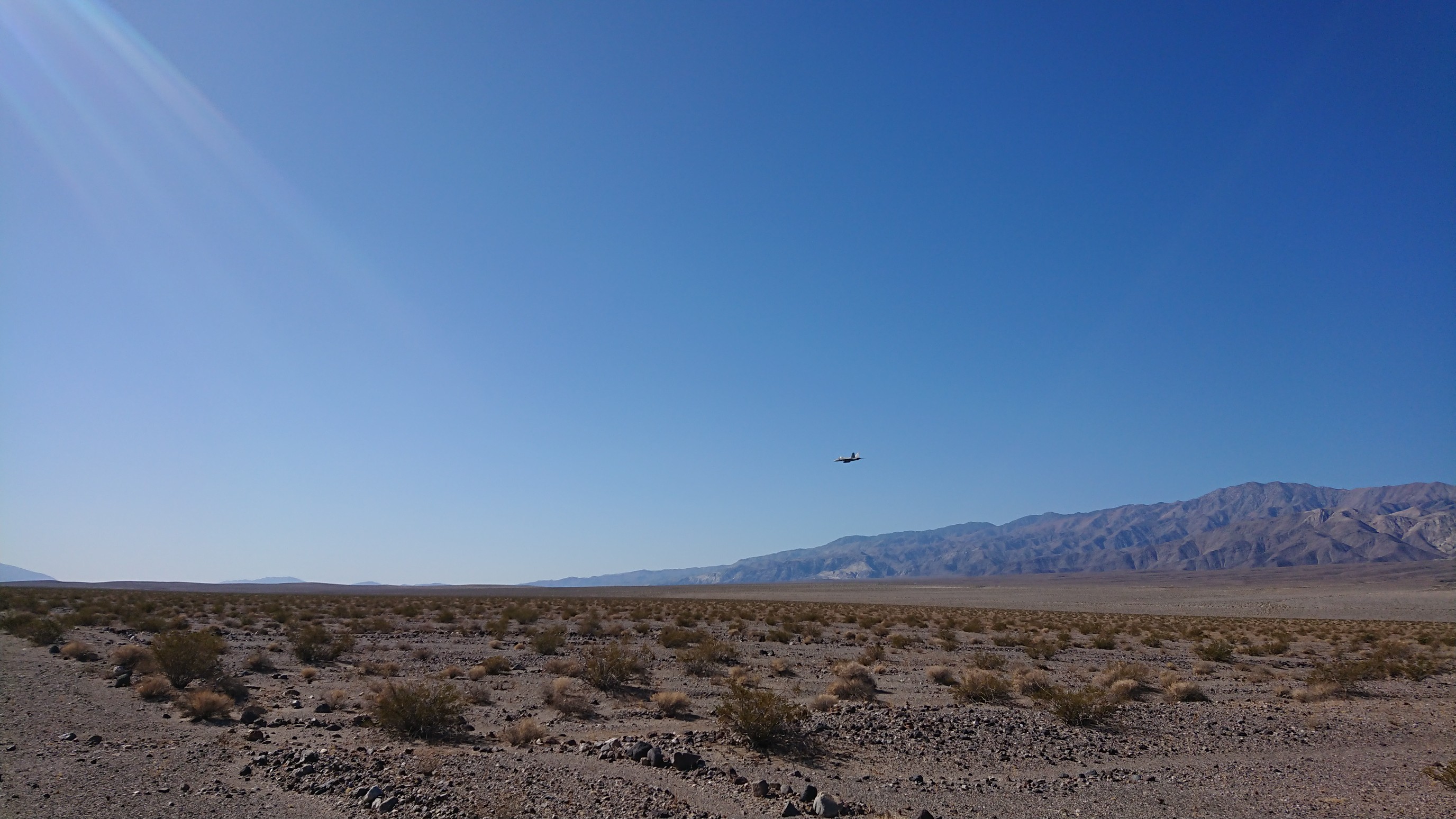
After traversing the Panamint Valley on various old dirt roads all morning, I then did some x-country travel over the playa.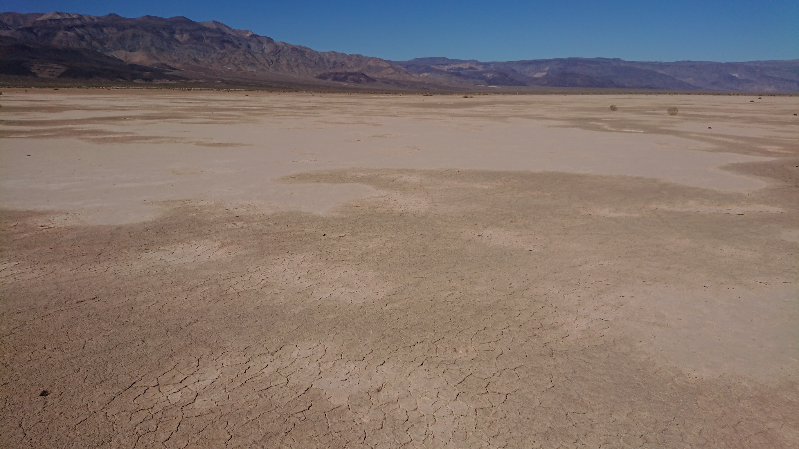
I walked the sandy playa for a mile, crossed a paved road, and then joined an actual trail for a mile.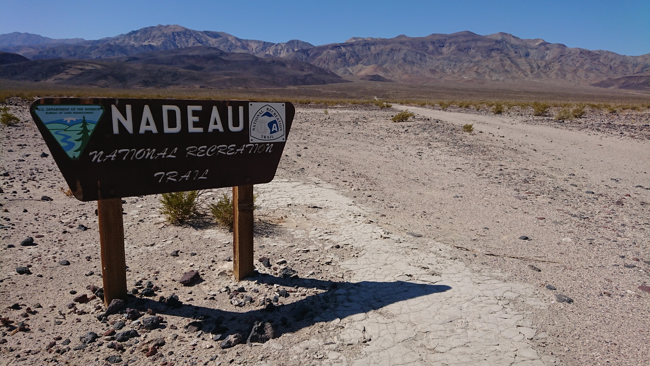
By now, it was getting hot outside, almost 90F, so I pushed on to the Panamint Springs resort for food and A/C. And after I saw their sign specifically said “Ice cream and milkshakes”, I had no choice but to stop there!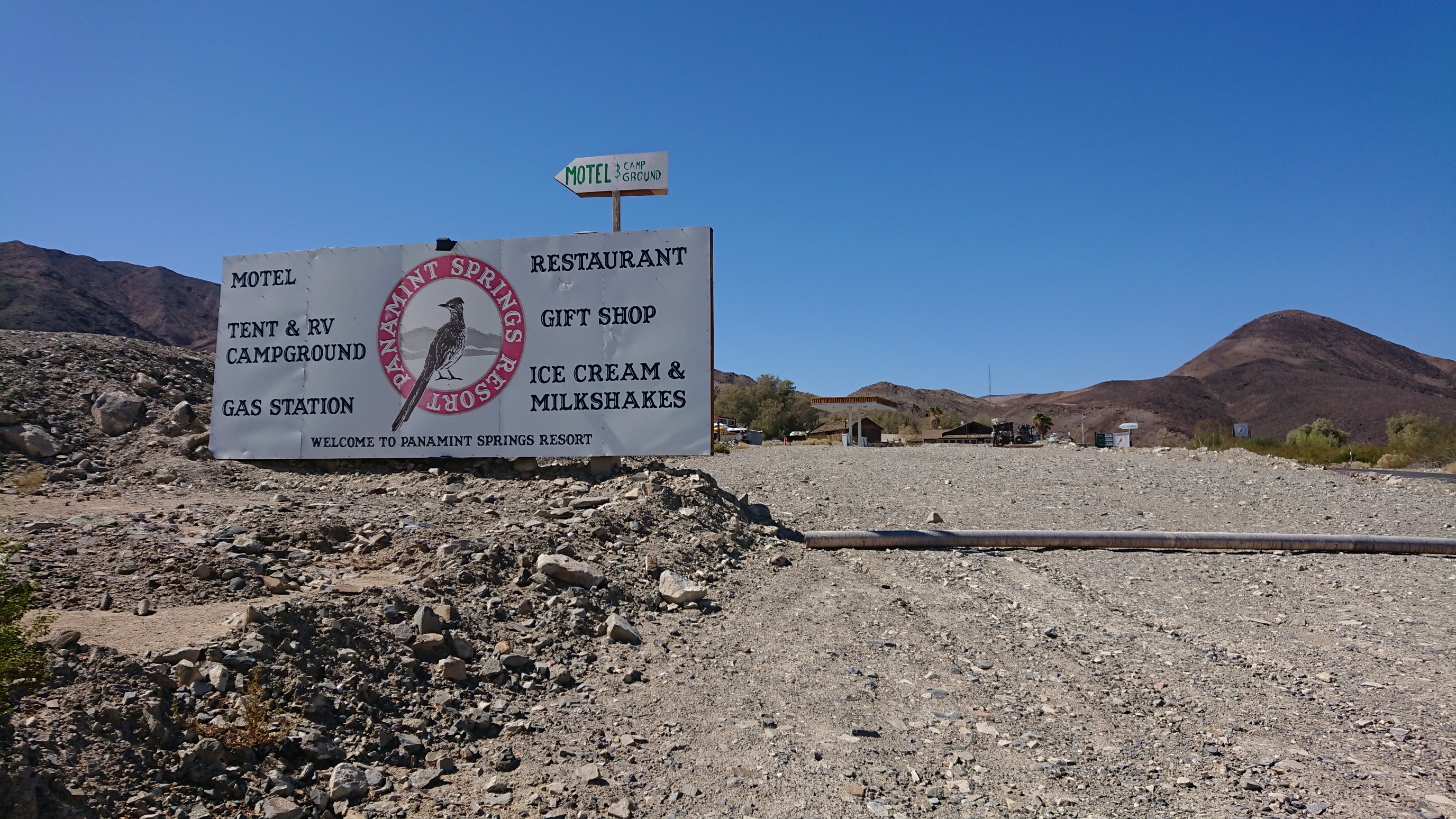
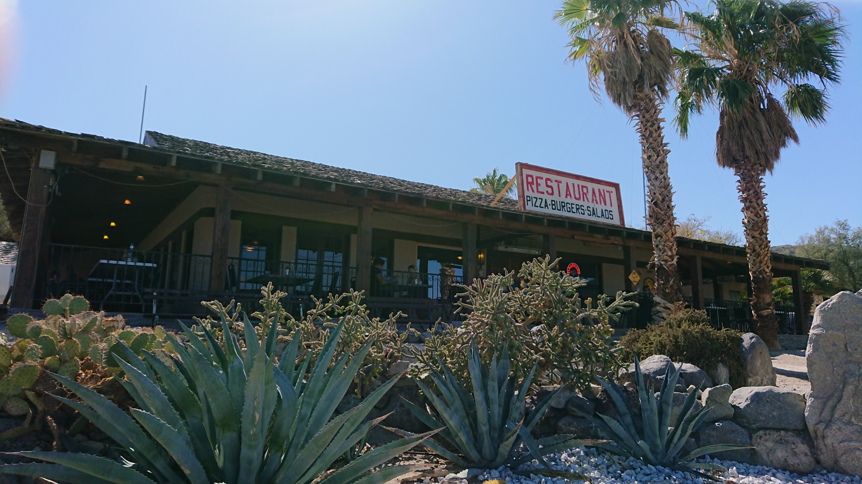
It was a solid meal. The poor waiter kept trying to give me the bill, but I kept ordering more food.
I also showered and bought some more snacks from the general store. I started walking again at 4pm, briefly on a paved road.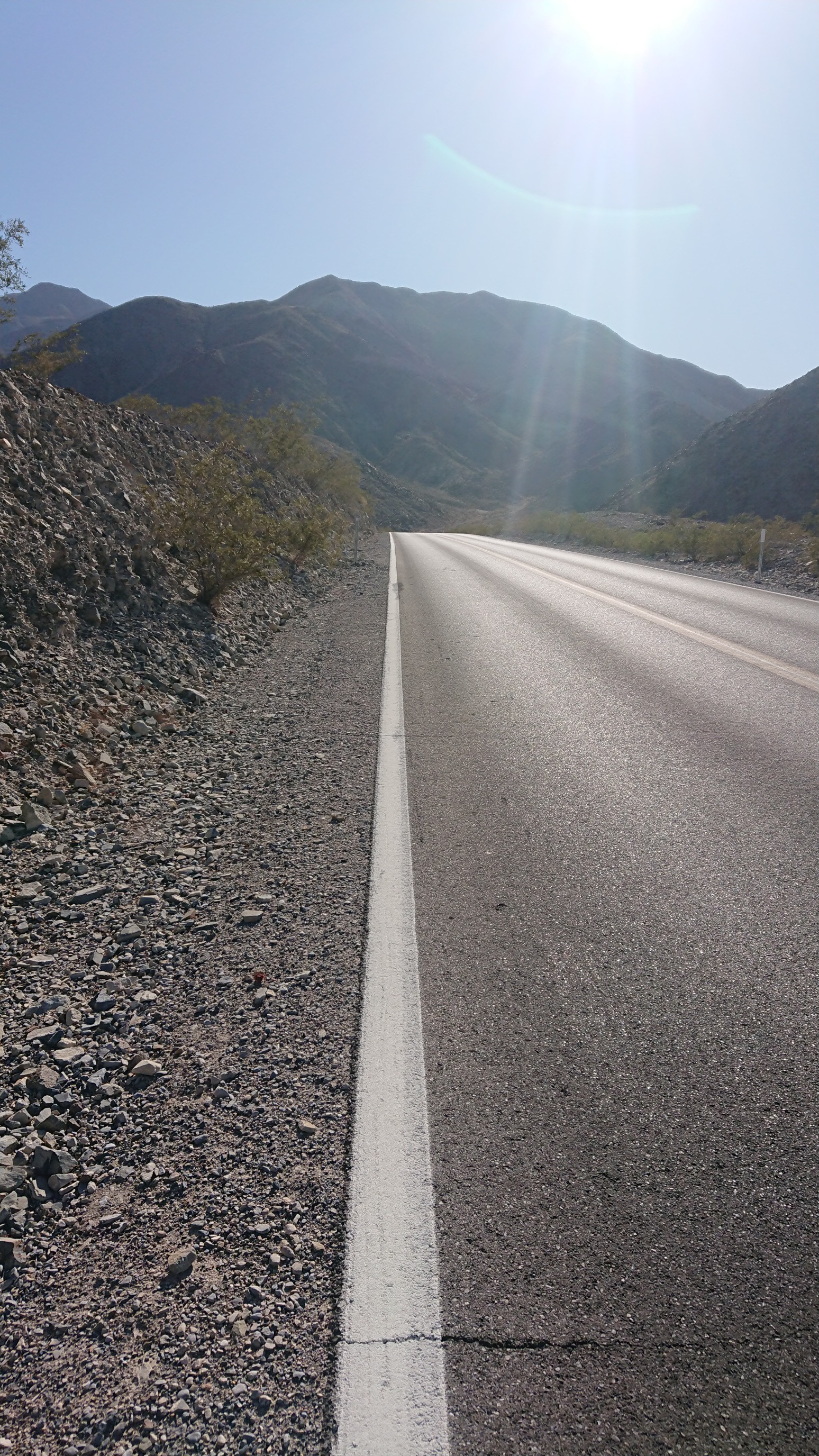
I stayed on the white line, so my shoes wouldn’t get all soft and melty. In less than a mile I turned off the pavement, and into Darwin Canyon.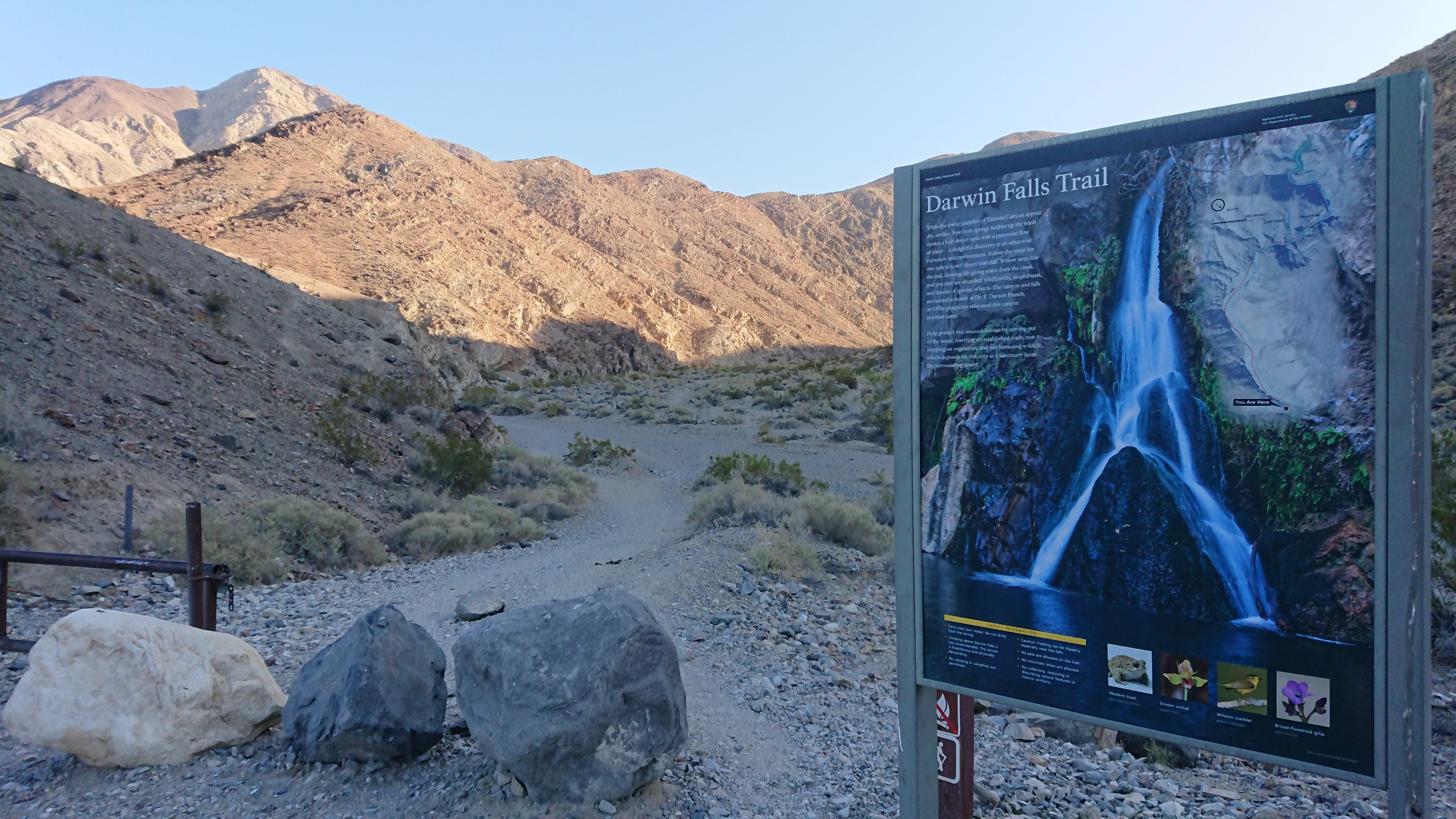
It started off looking like any other desert canyon…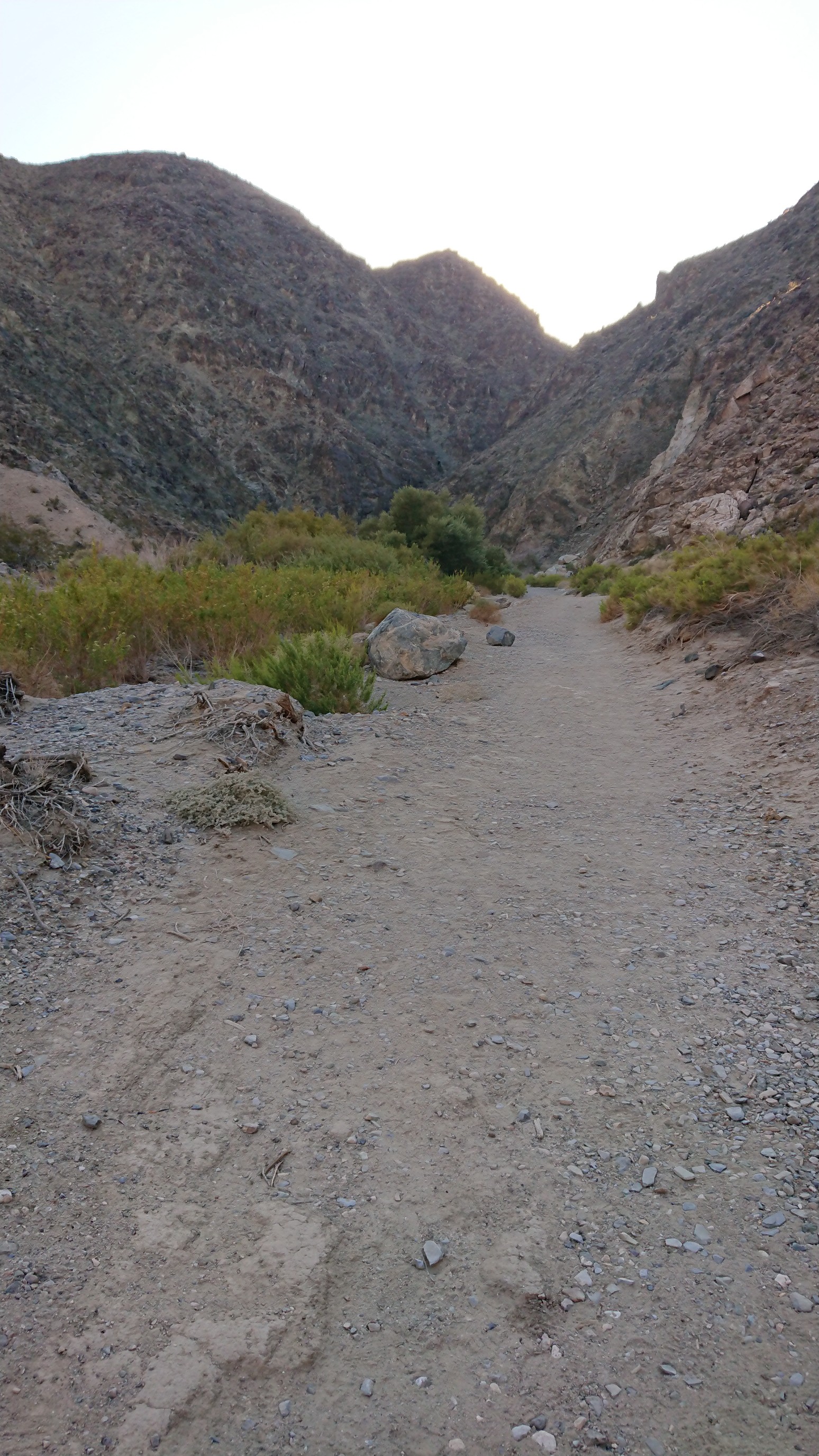
But then quickly changed to green!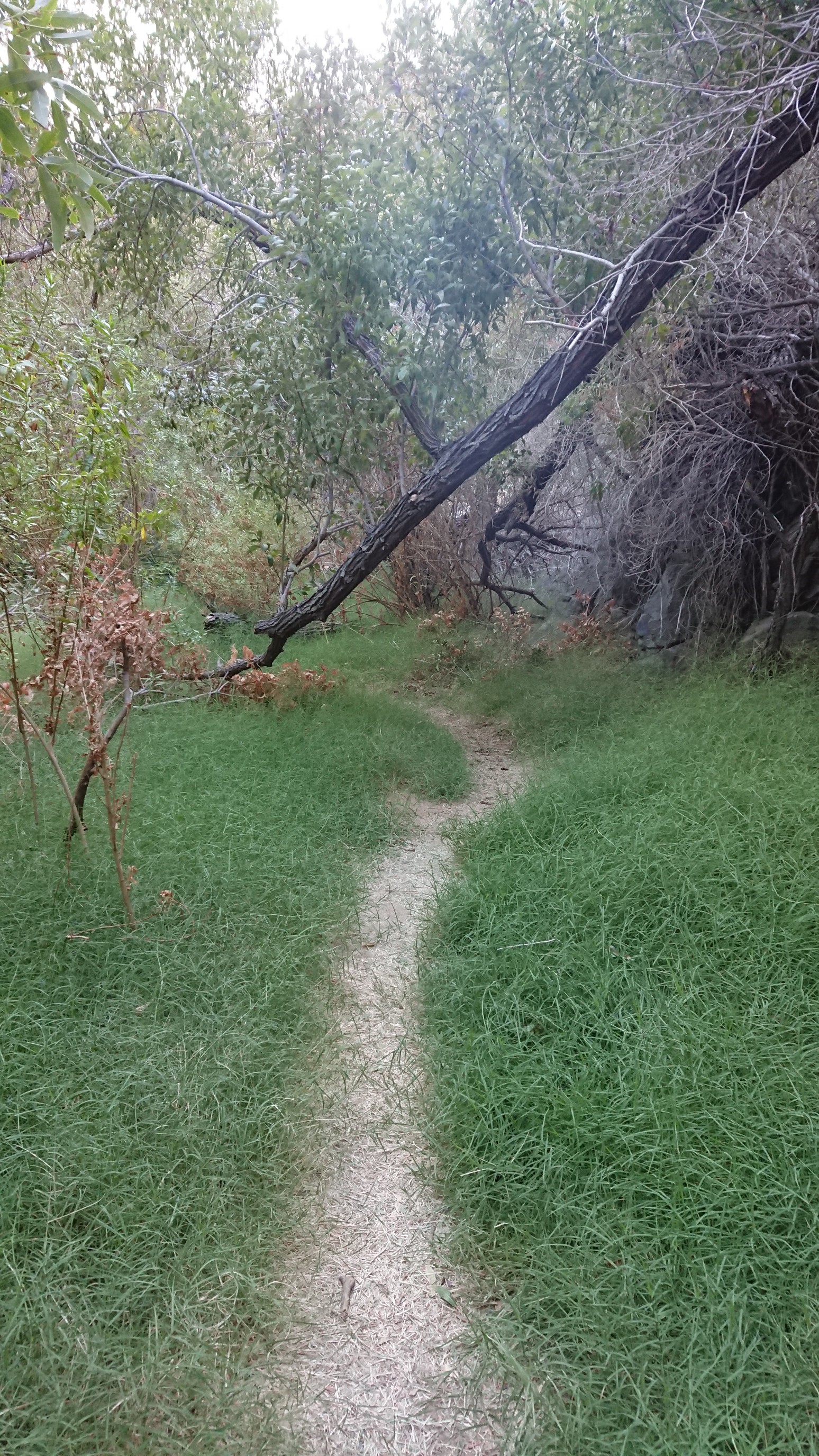
I went a half mile off my route to go chasing this famous waterfall, Darwin Falls.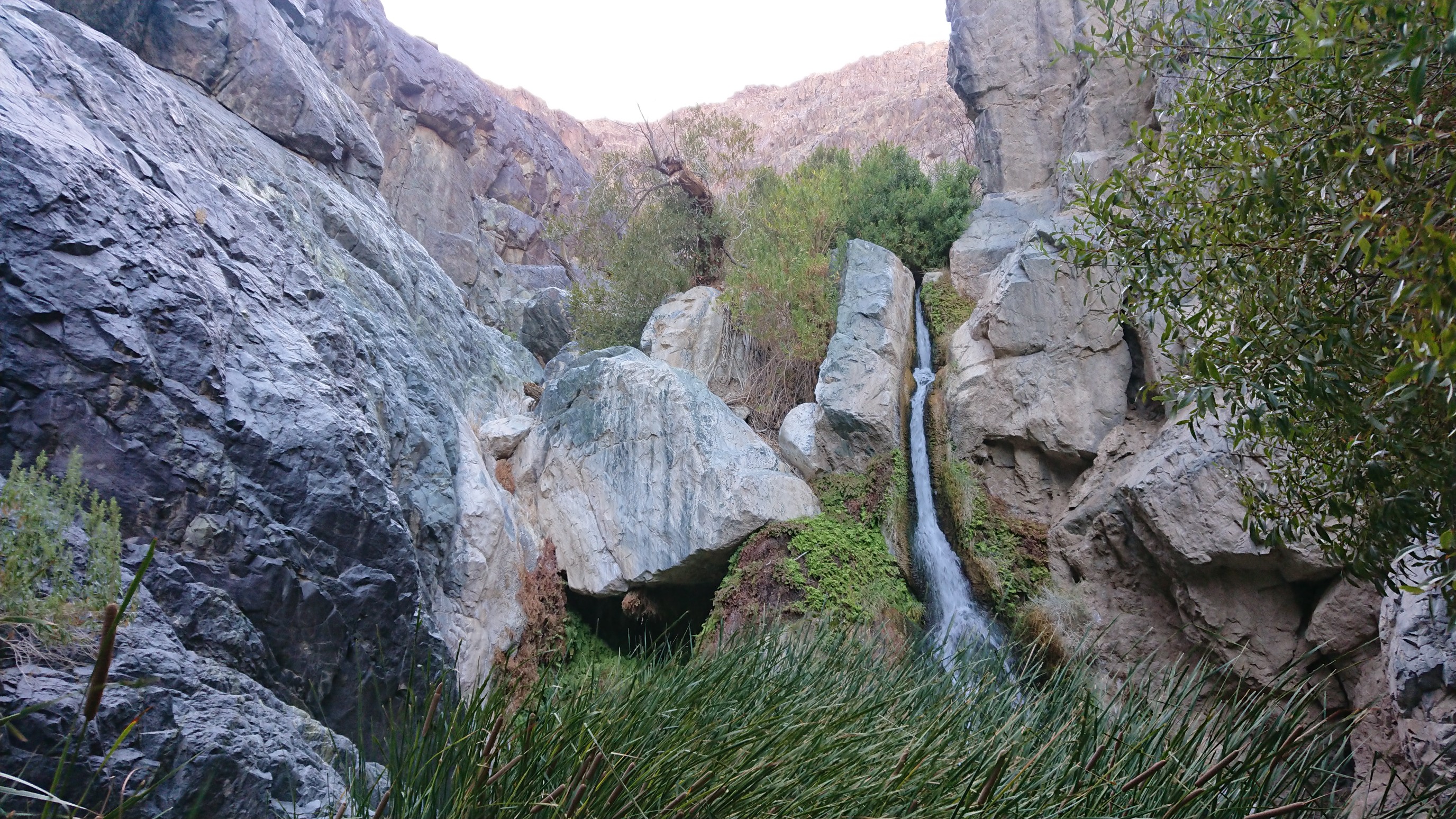
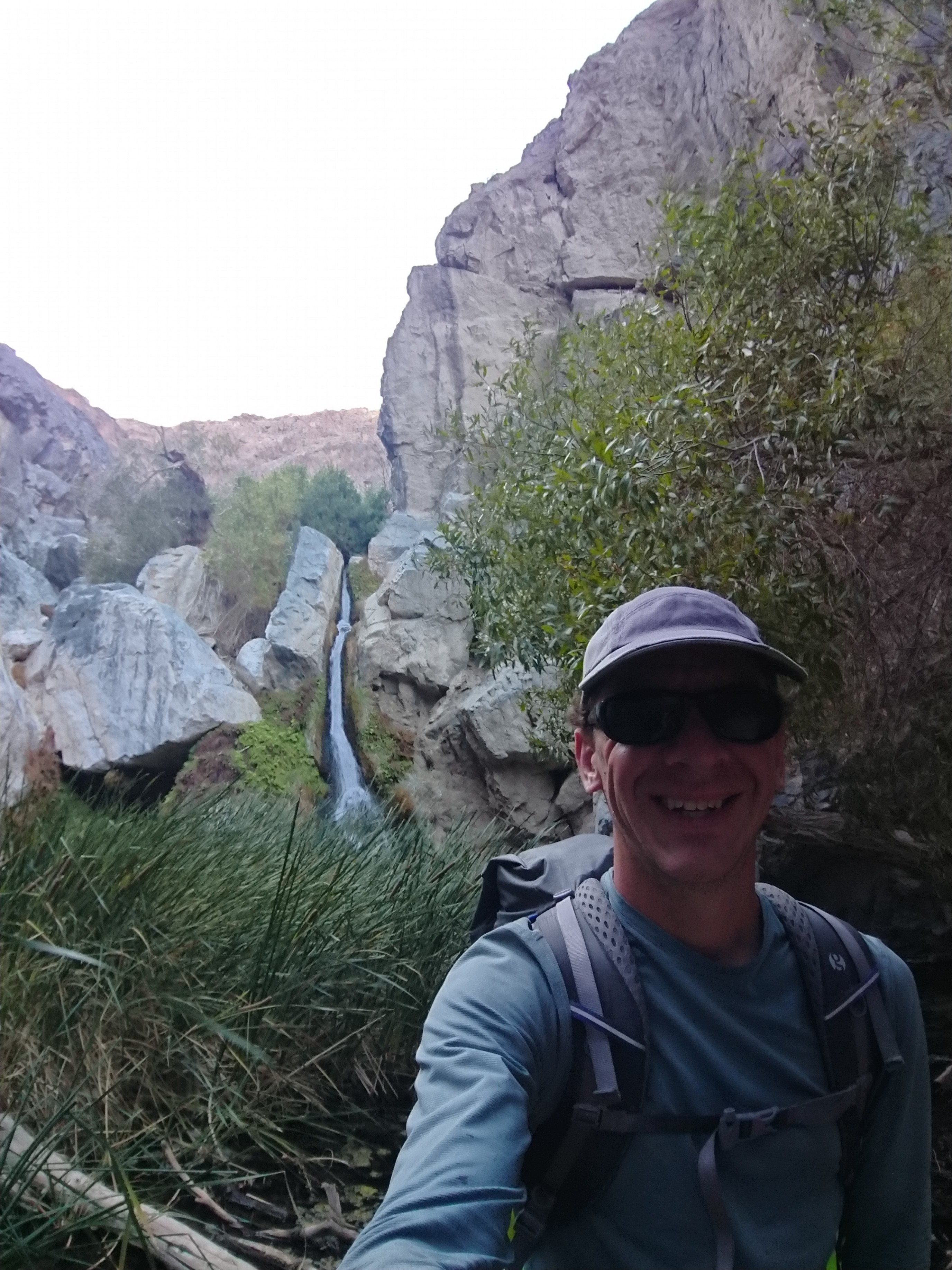
Supposedly there is a way to scramble up and around it, and I tried, but it seemed too precarious with a large unbalanced backpack. So I got one last photo, and turned around back to the main L2H route.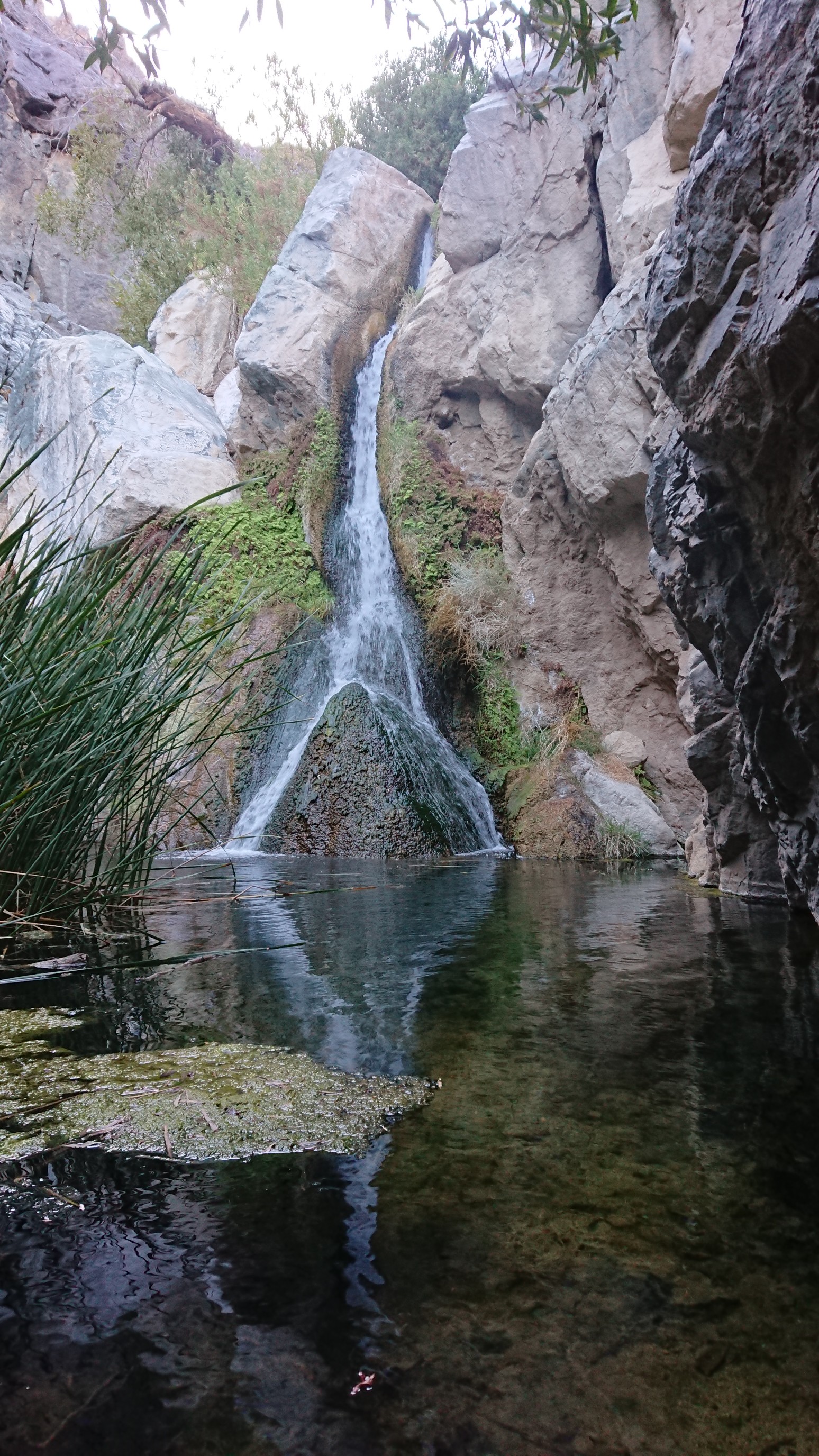
The main route climbed 500ft up out of the canyon, and onto a ridge. It looked like a basalt moon surface up on the ridge.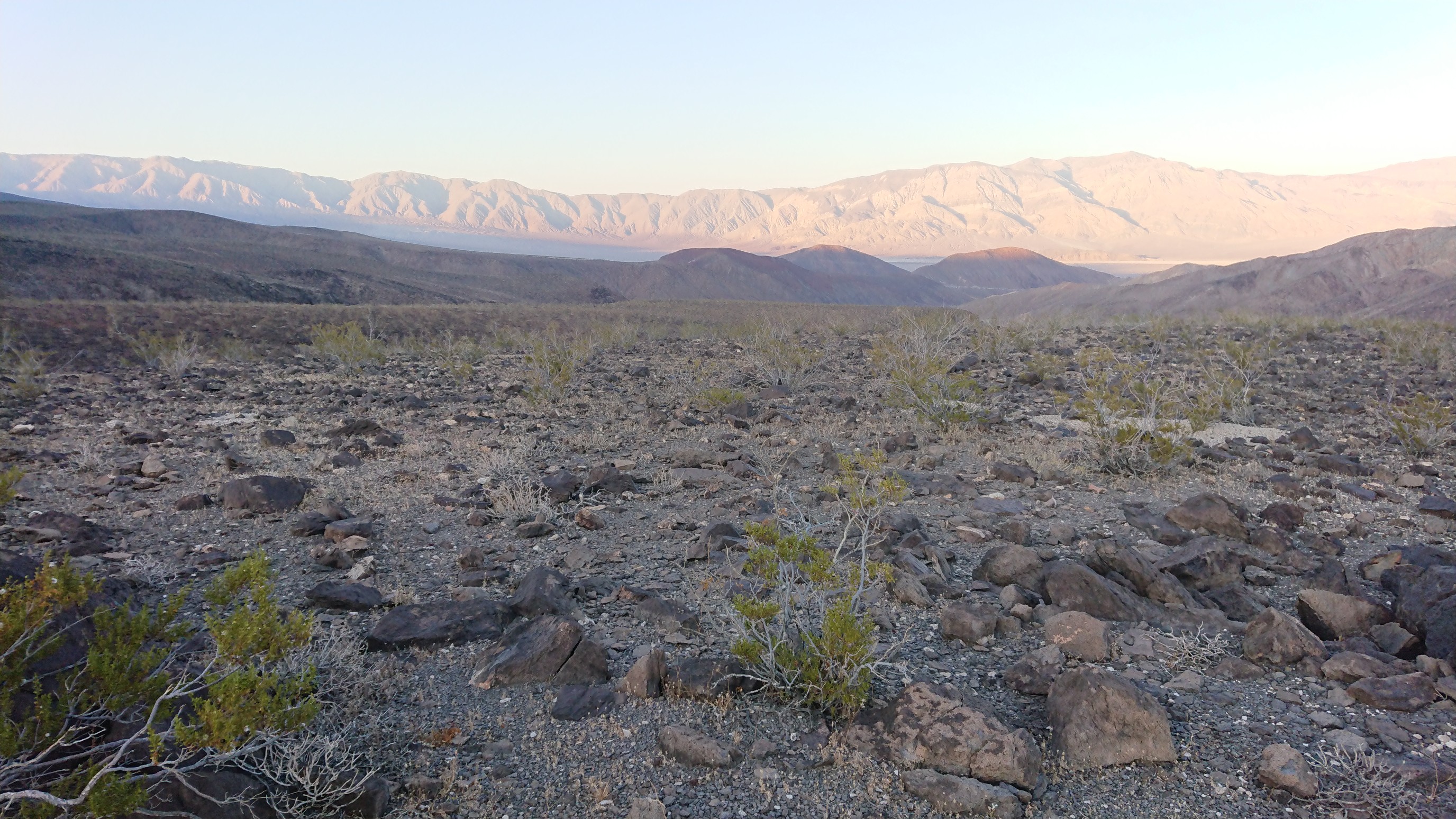
It was windy as, but I found a somewhat sheltered spot from the wind. I staked my tent very securely, and then watched the sunset from inside.