Tuesday May 12, 5.9mi/9.5km
Waterton Canyon/Indian Creek Trail (6.7/5869ft) to Ridge above Bear Creek (9.8/6611ft) (CO) + 2.8mi Roxborough approach Trail
With the 2020 pandemic, I chose to hike a trail close to home, and hike in sections. By traveling in this manner, I could avoid public transport, town lodging, and hitchhiking. So, the Colorado Trail will be a fun local project! For details about the trail itself, see the main CT page.
I left home around 10:30am, and drove to Kenosha Pass, which will be my ending trailhead for this section. I arrived to the pass at 11:30am, and spent some time eating, drinking, and getting my bike ready. Then, I biked the 49 miles (mostly downhill) down Highway 285, back to the starting trailhead at Waterton Canyon.
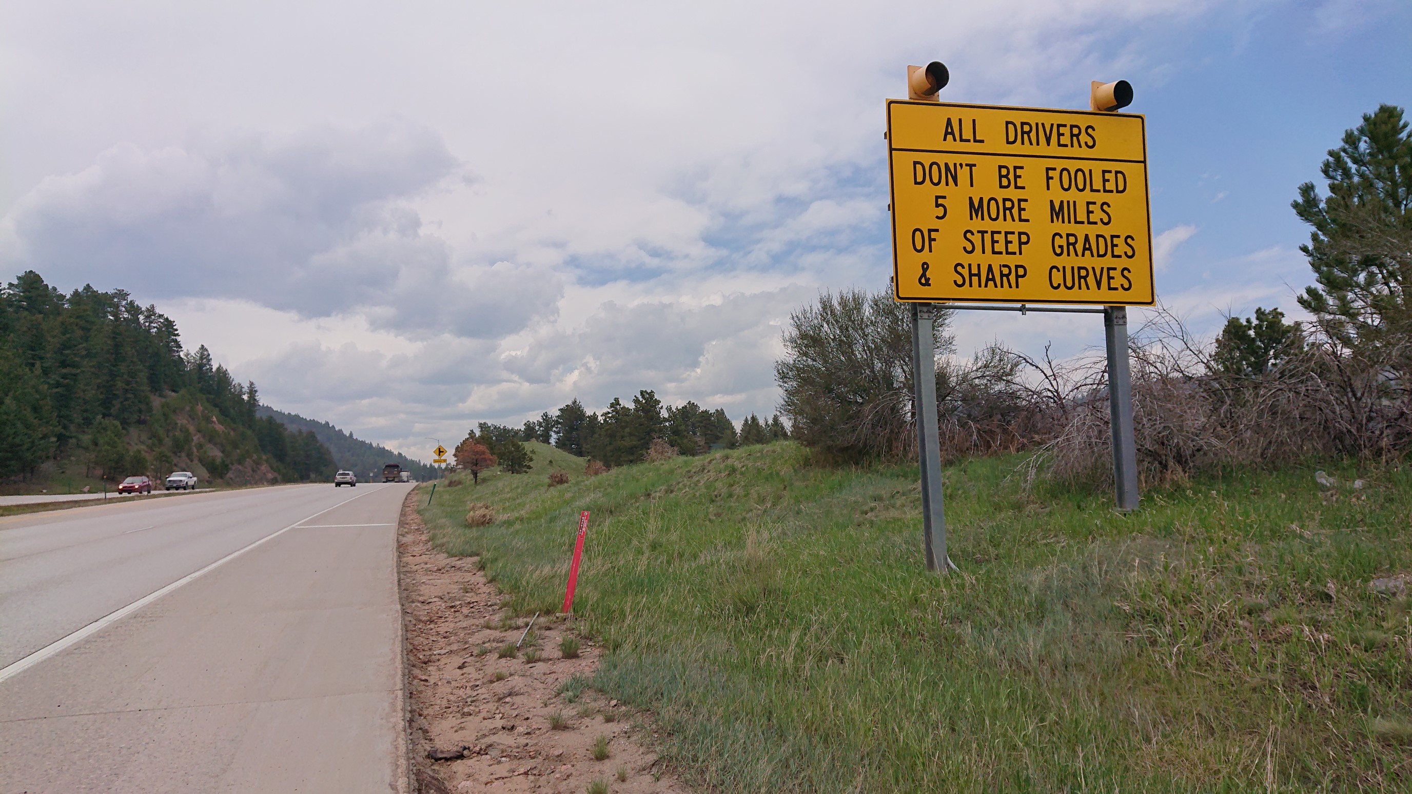
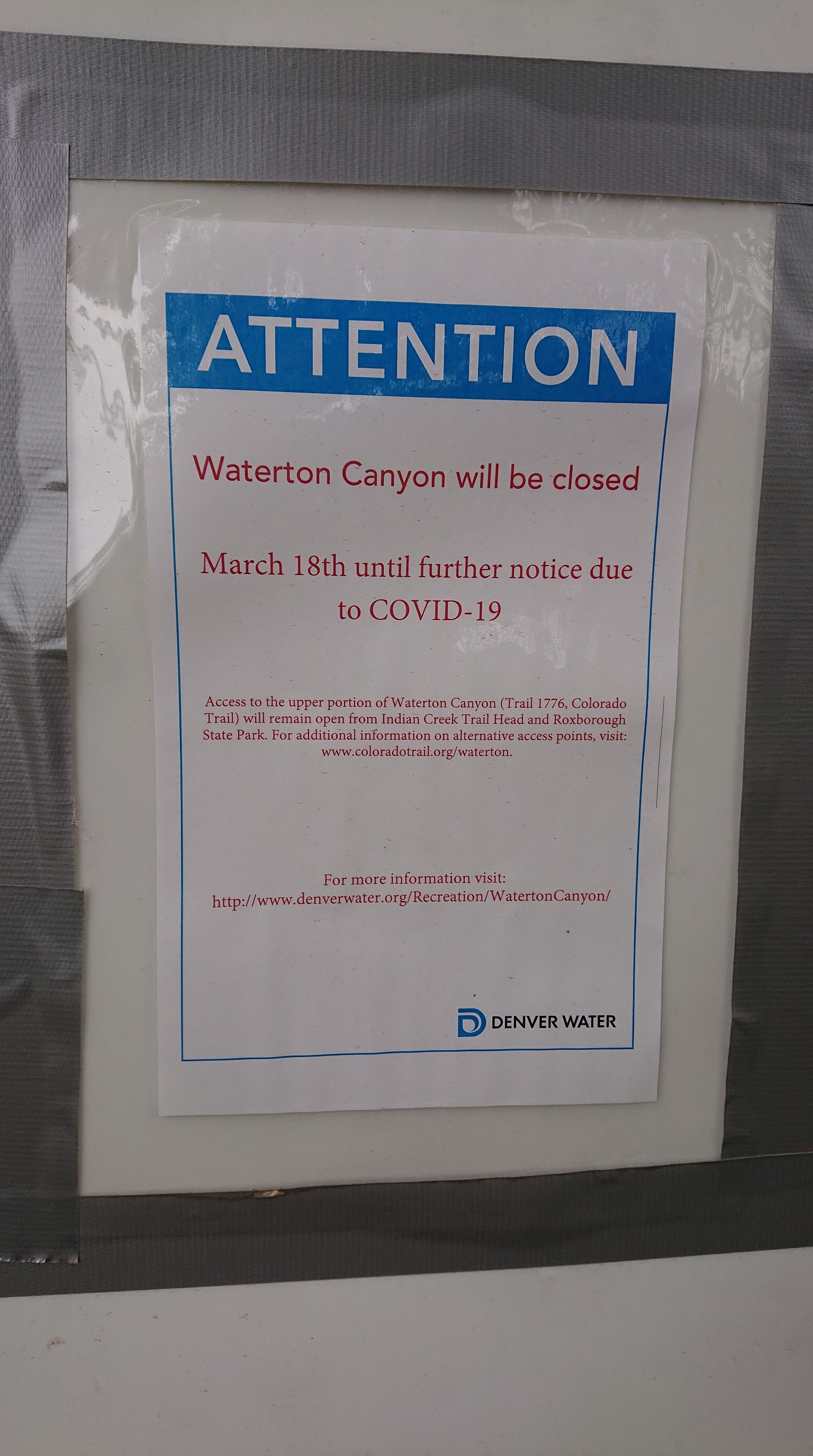
With a few breaks along the way, I arrived at 3:15pm. However, the Waterton trailhead was temporarily closed, so I asked my “just my roommate” to drive me to an alternate trailhead 10 minutes away.
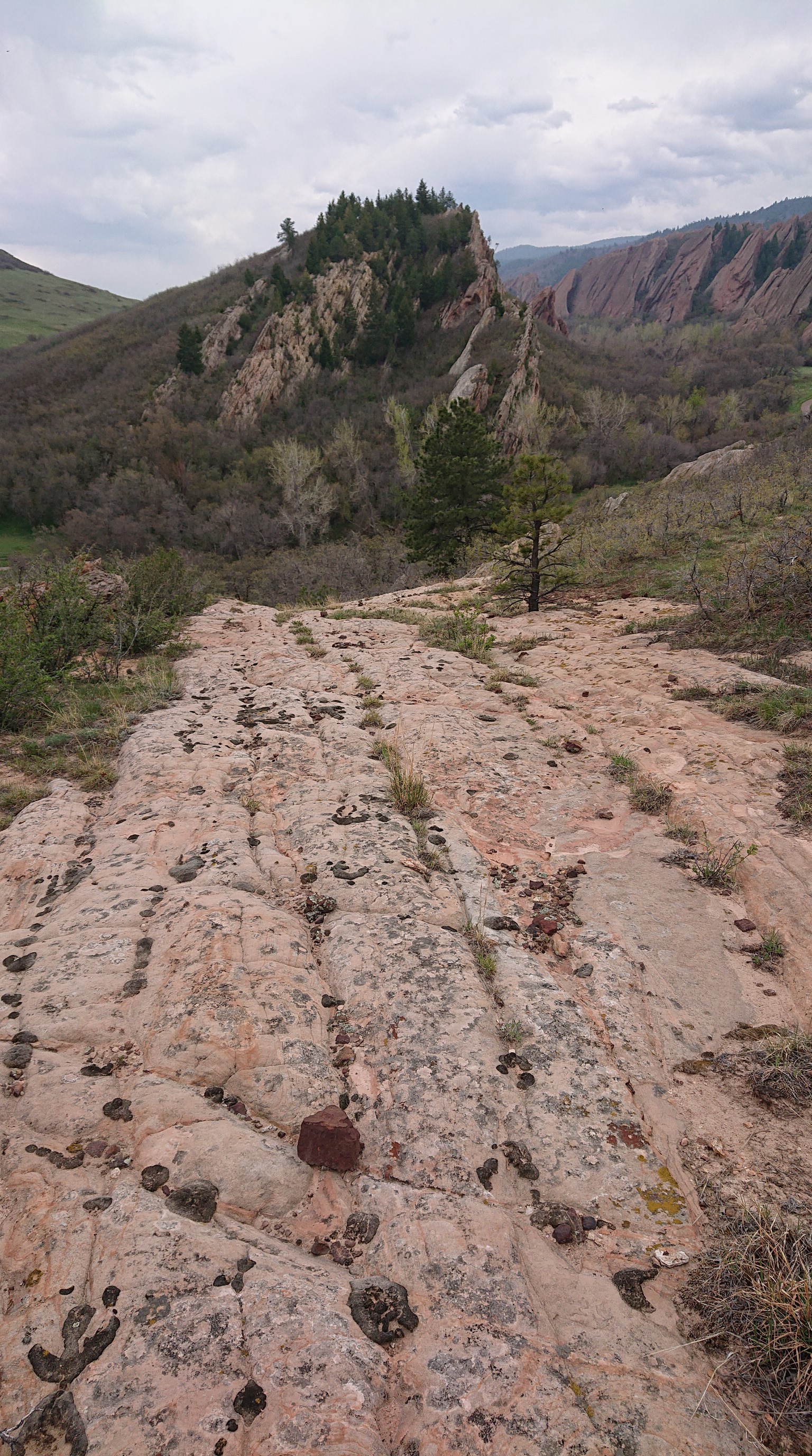
We arrived at Roxborough State Park, but the gate attendant wasn’t allowing cars to enter. So I had to start hiking from the entrance gate! The first mile was somewhat of a bushwhack and slab-walk.
I emerged out on a nice gravel path, and it was easier walking from here.
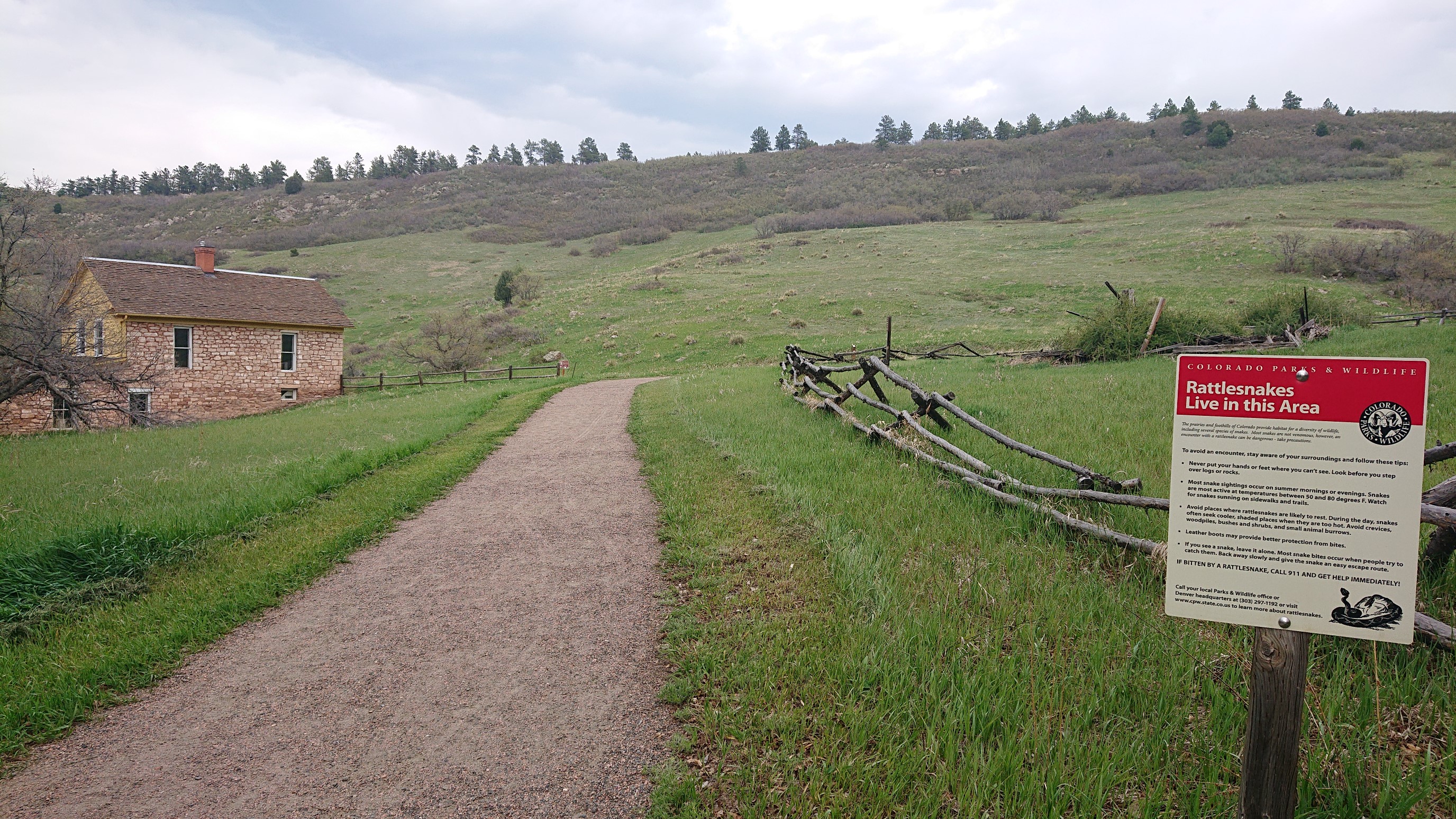
Then the path became overgrown and unused, I had to keep my eyes on the ground, but the scenery was amazing!
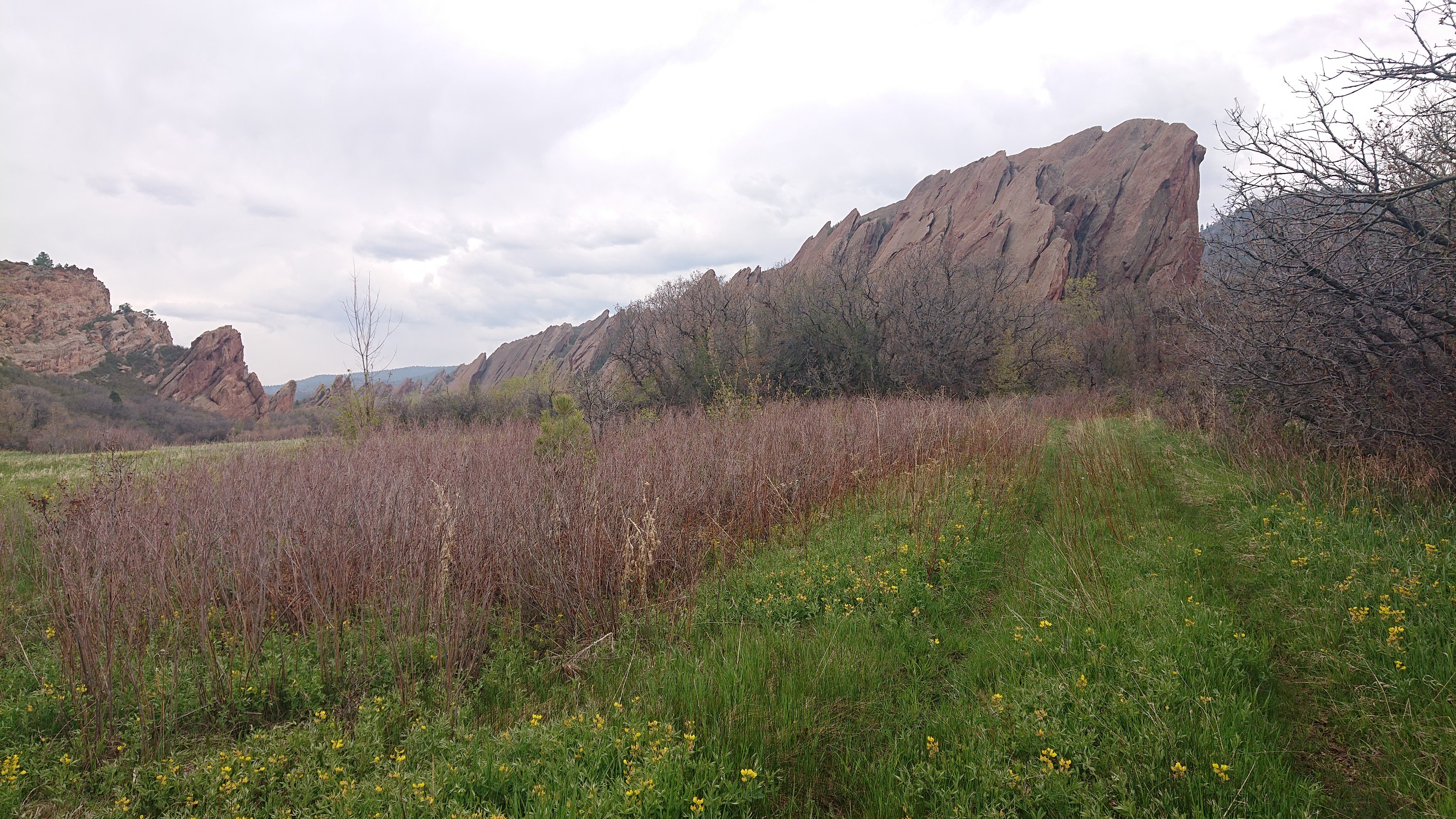
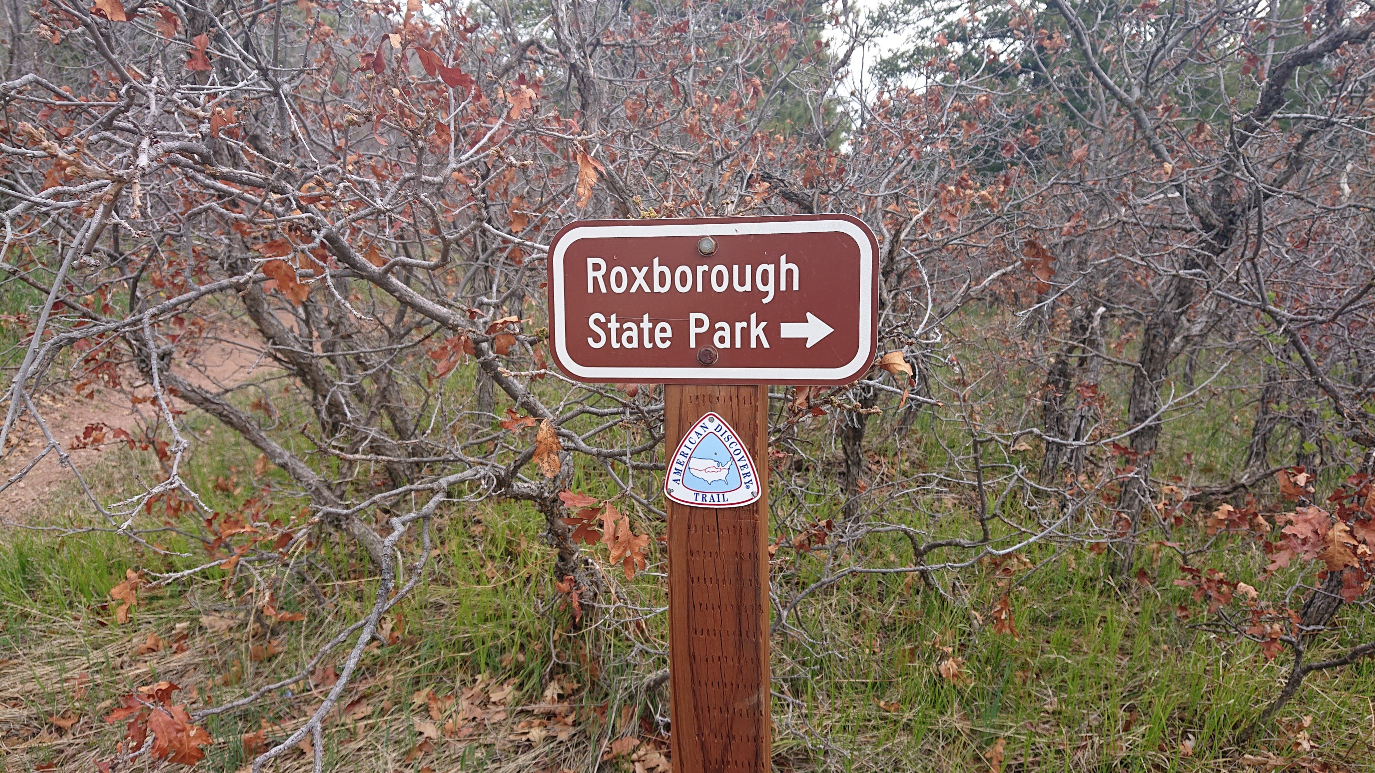
Finally, after 30 minutes, I had arrived at my intended alternate trailhead, and it was already 4:45pm. Sheesh.
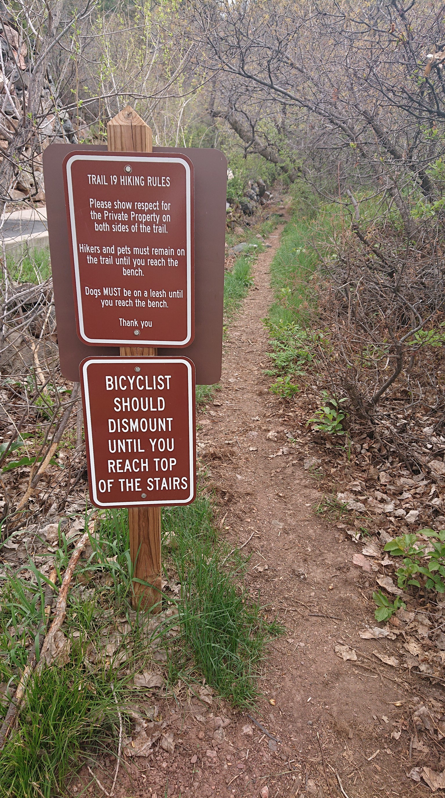
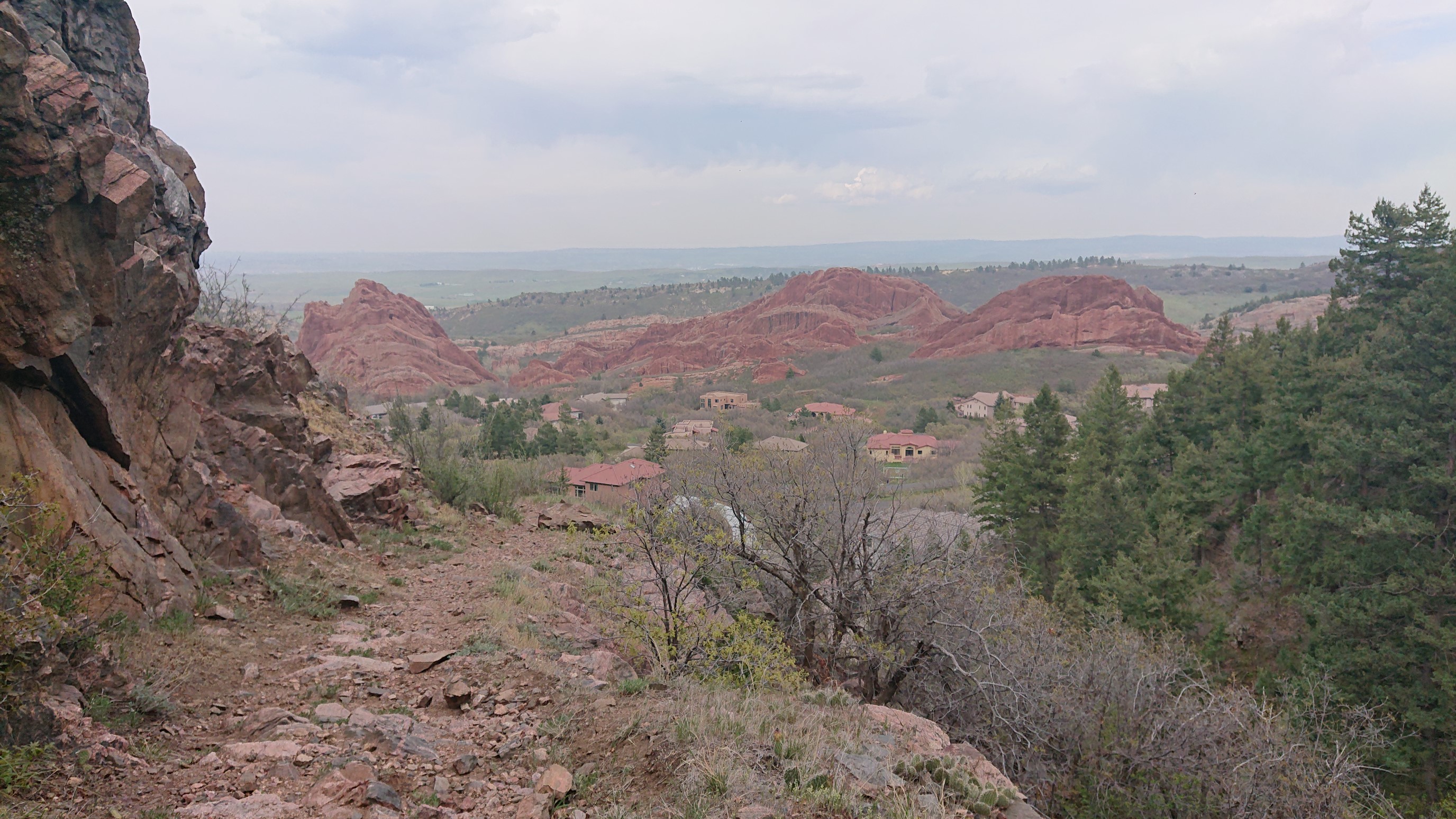
The sign had warned of many stairs, and it wasn’t wrong. I took a break at the top, and enjoyed the amazing view of the red sandstone formations behind me.
The trail entered the forest, and I occassionally saw trail junctions with other trails leading back to Roxborough State Park.
The lowland forest was generally very open, and I had expansive views to the west for much of this 3-mile trail.
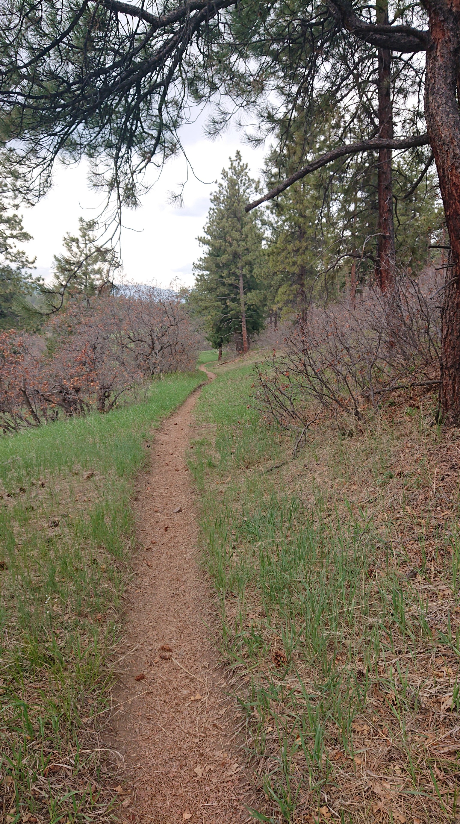
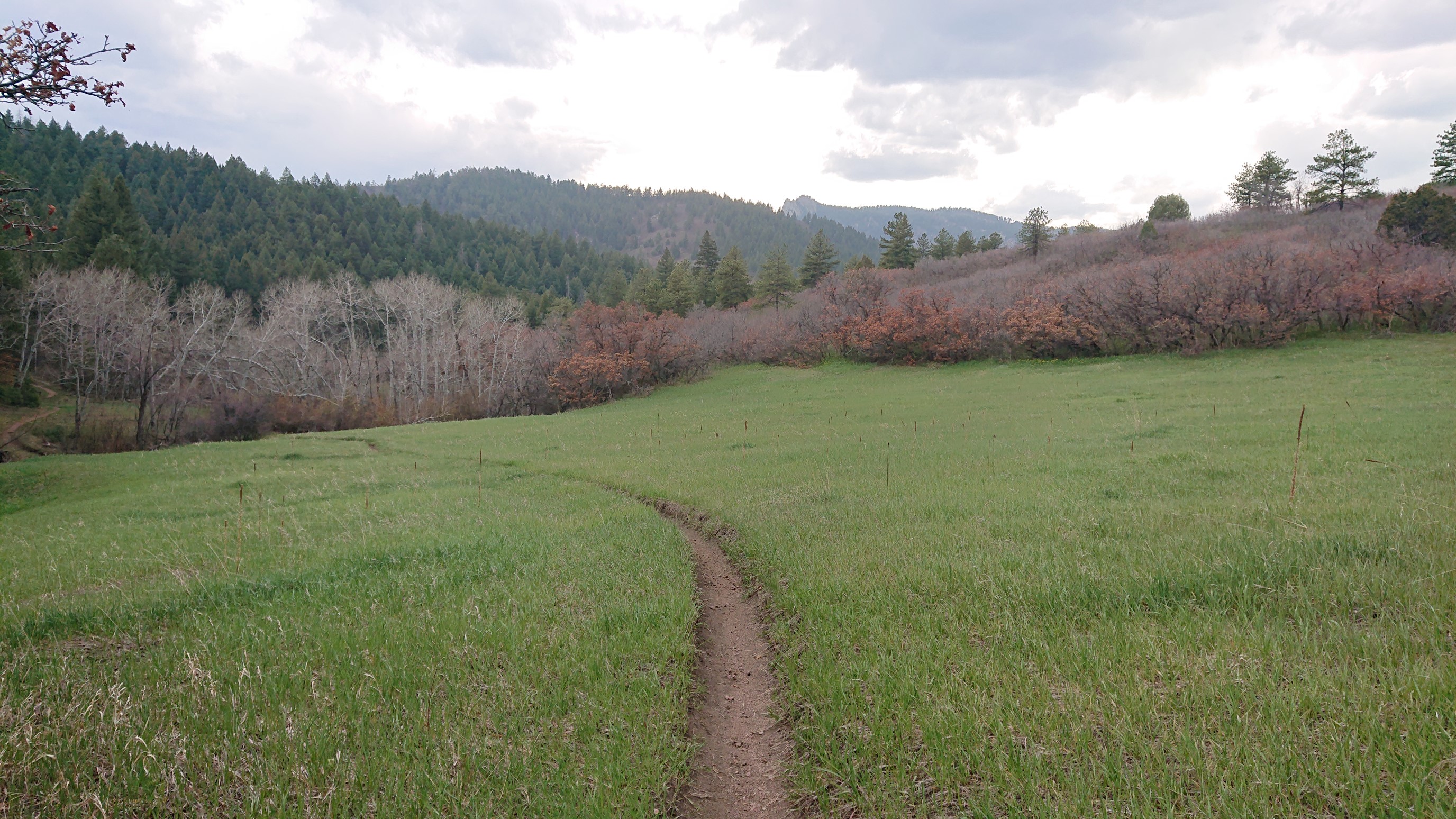
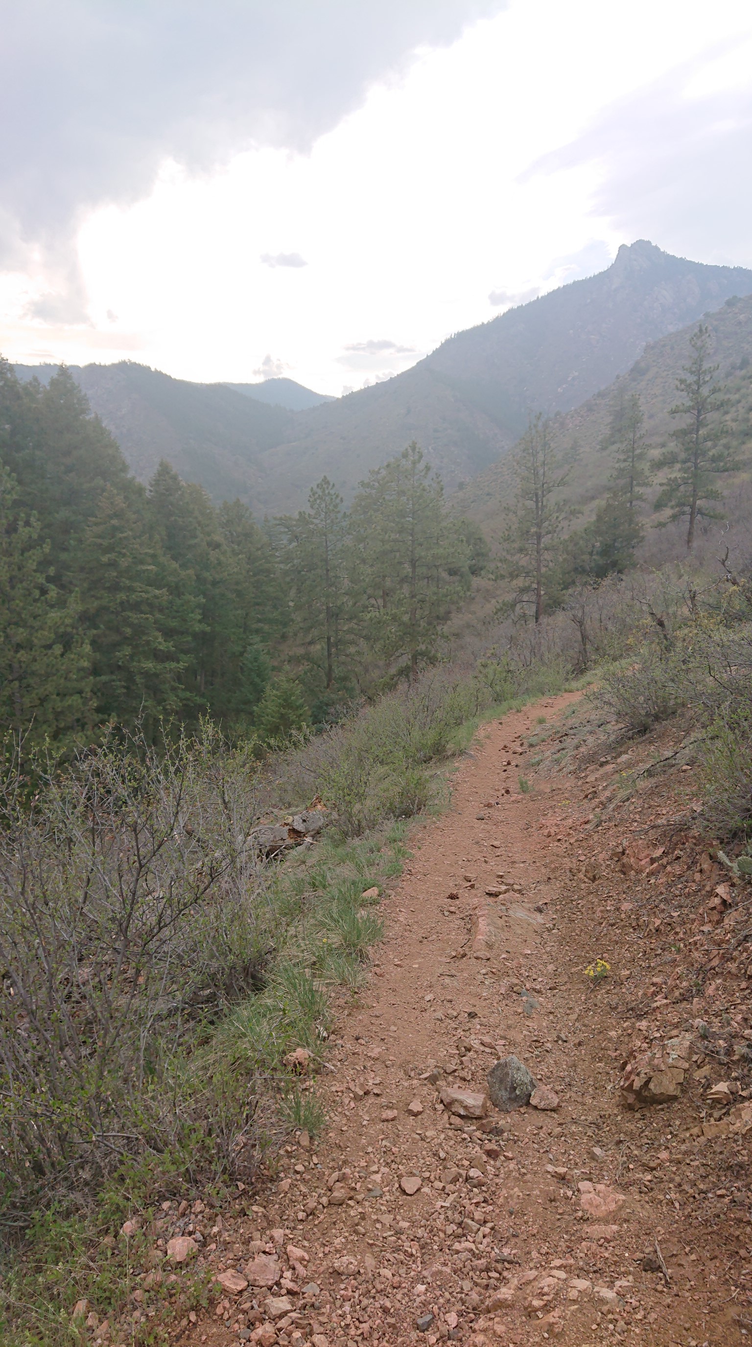
After almost 3 miles, my alternate trail re-joined the official Colorado Trail, at the top of Waterton Canyon. I was quite surprised to see a herd of wild animals roaming about!
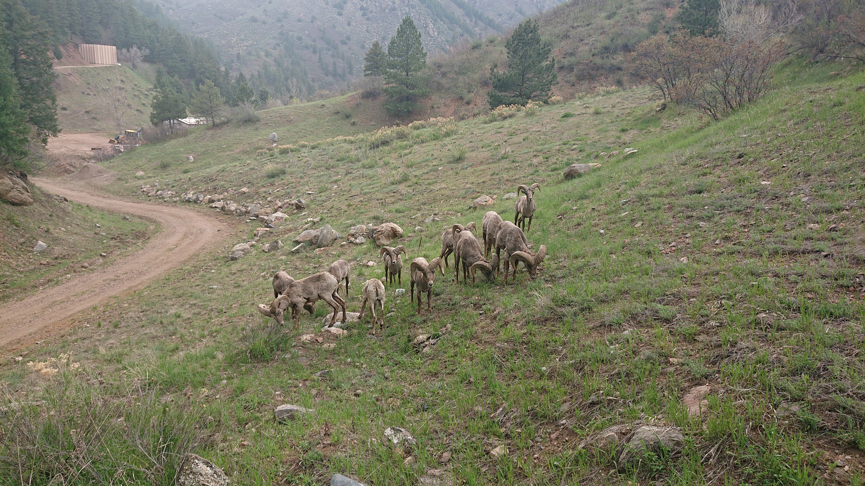
Hi, bighorn sheep! I’ve learned their horns weigh an average of 10kg/22lbs. Ouch!
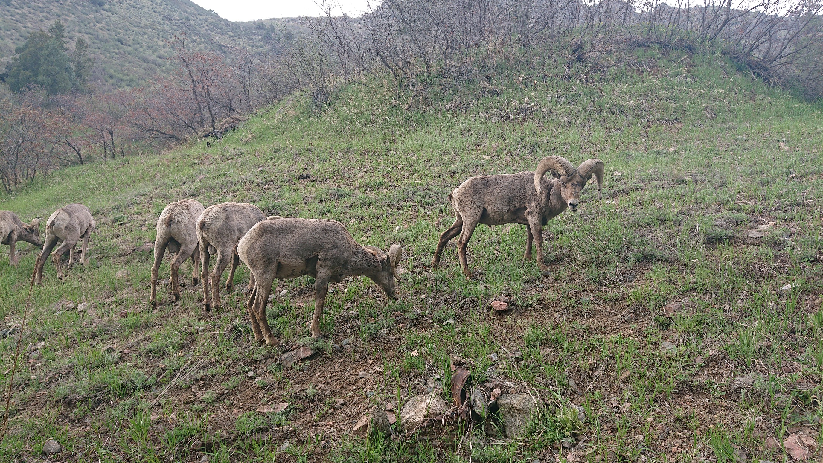
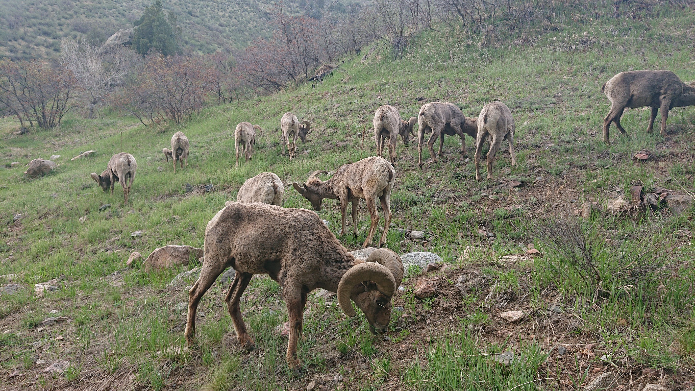
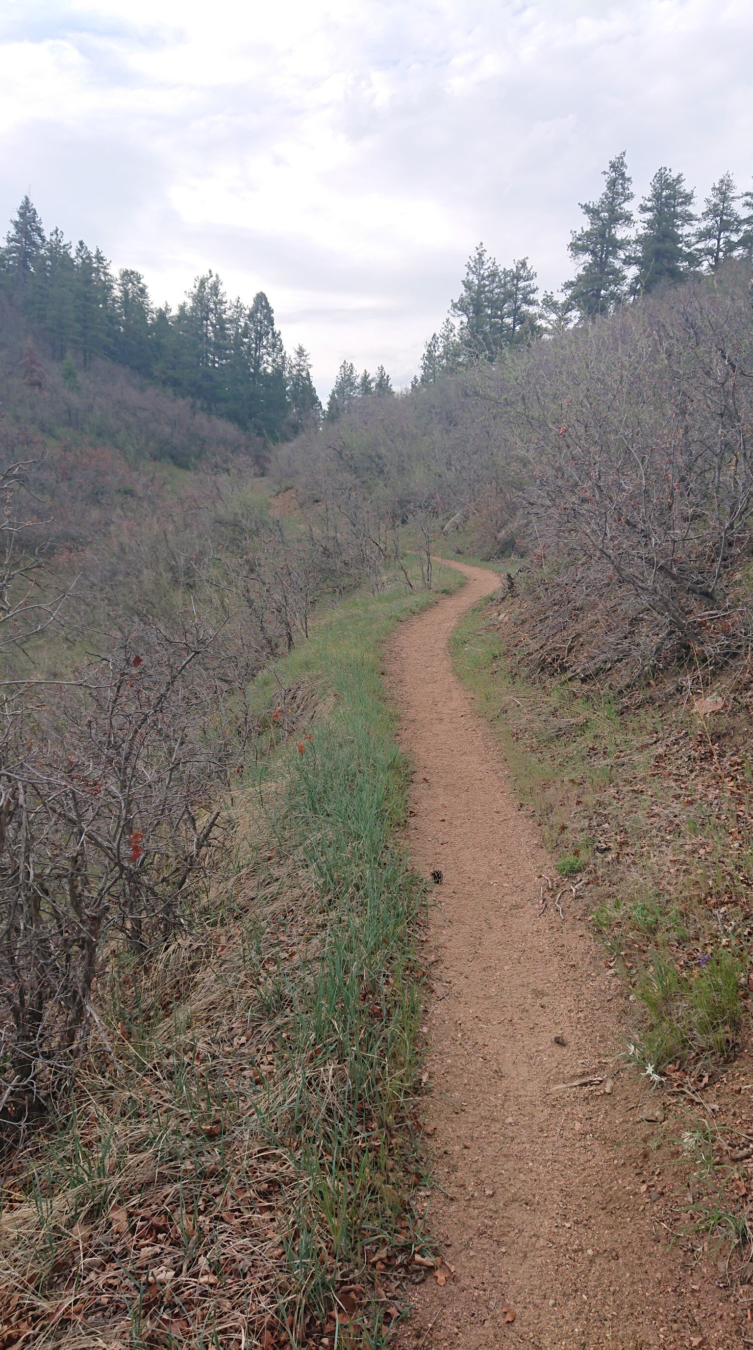
I snuck by the herd of sheep, and then I was on the official Colorado Trail. The Waterton trailhead closure meant that I’d missed the first 6.7mi/11km of the CT, but I can always return to that section as a local dayhike.
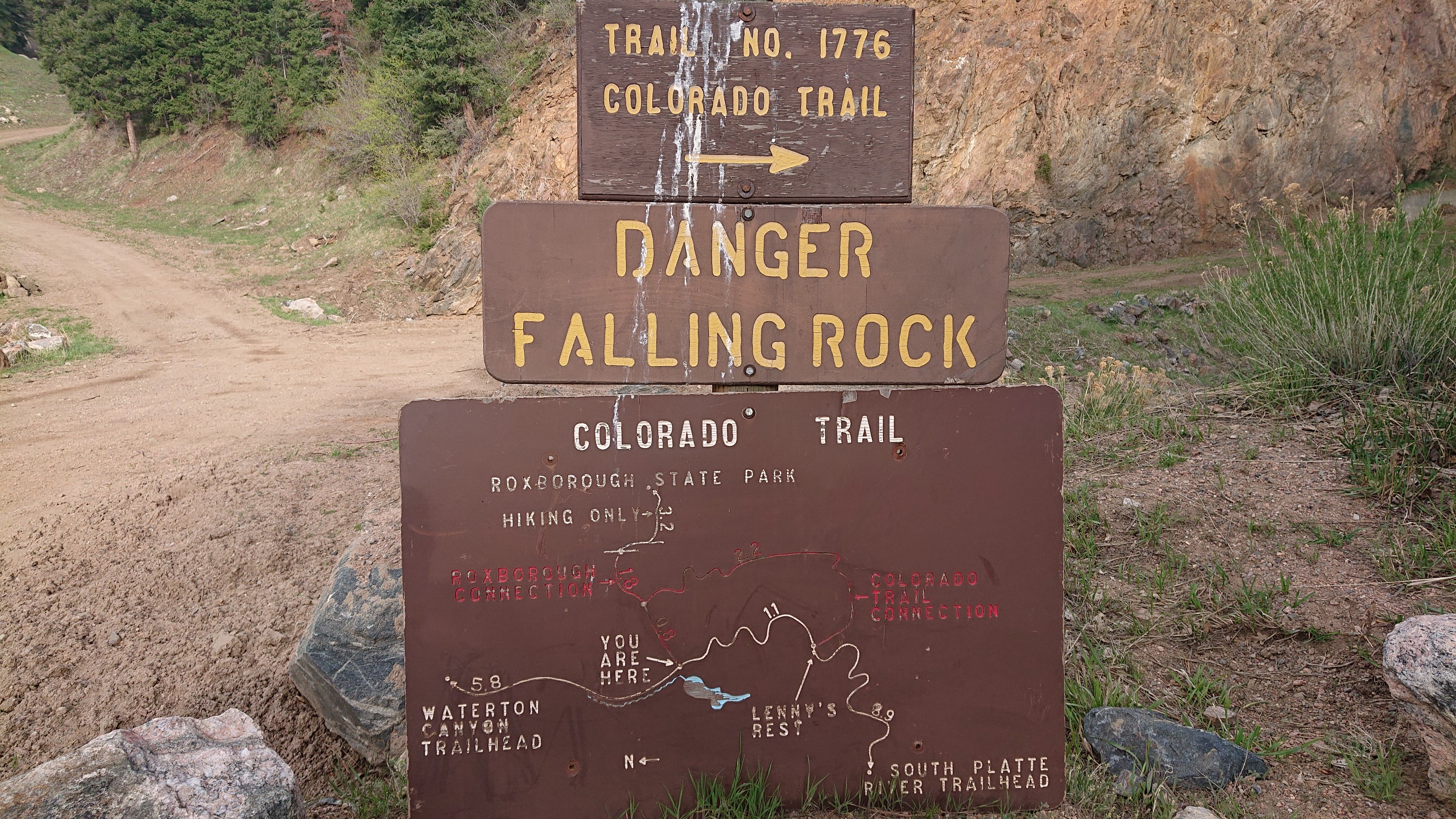
I’m not sure why they numbered the trail #1776. I think 1876 would have been more appropriate, since that is the year Colorado became a state.
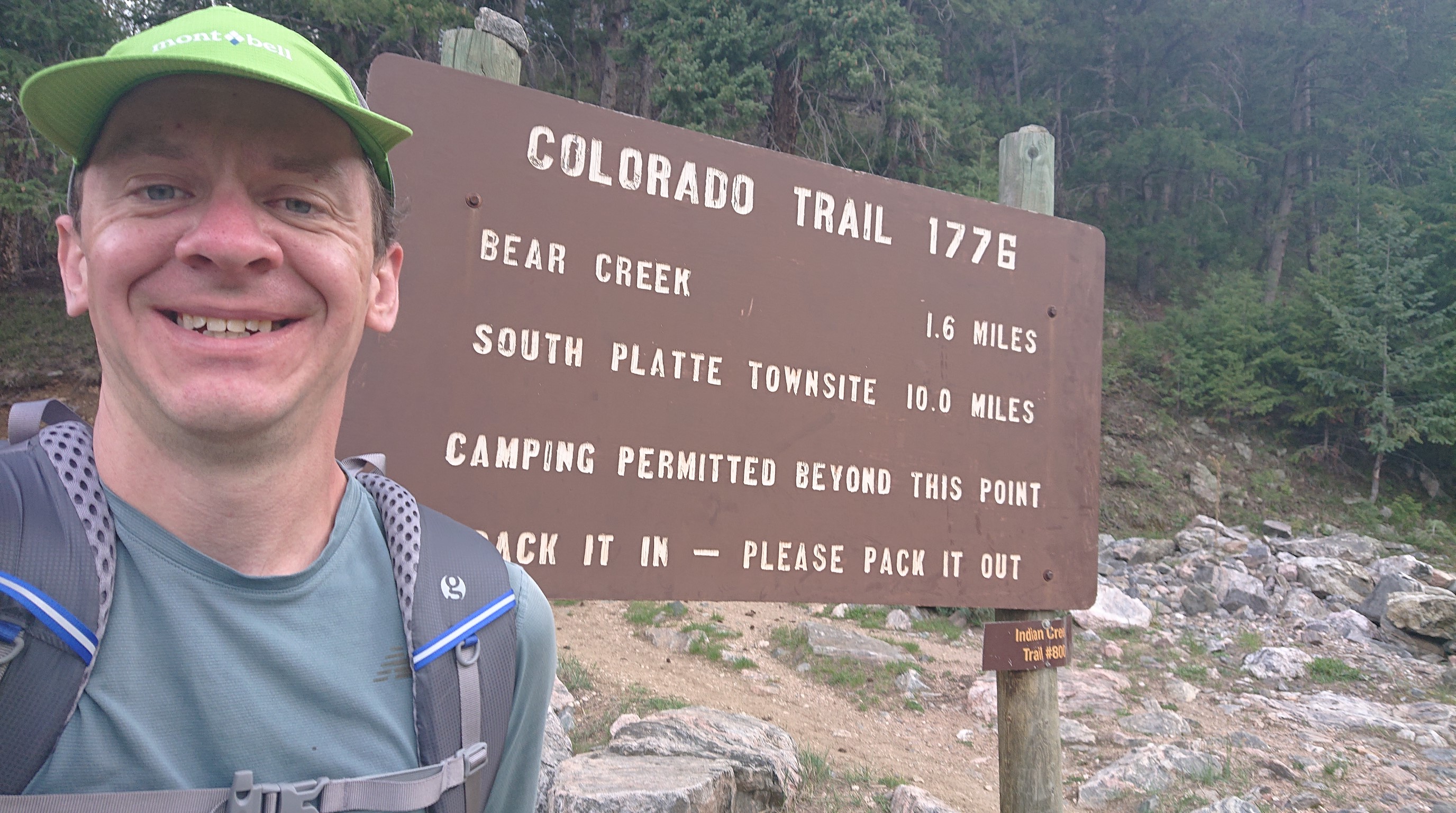
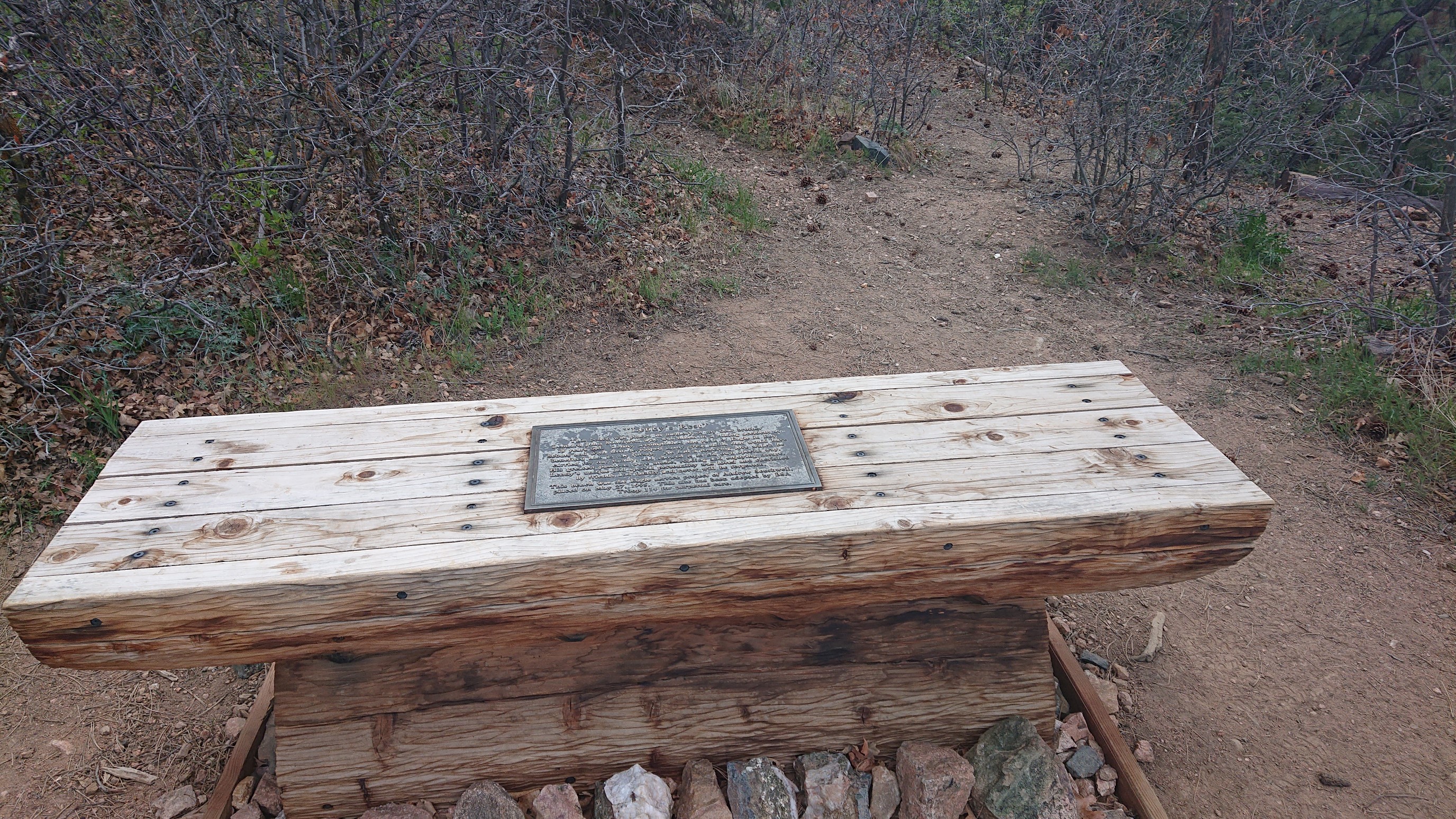
After a couple miles of switchbacked climbing, I paused at a nice rest spot at the top. It was a memorial bench for a local 18-year old Eagle Scout, and they named it Lenny’s Rest.
By now, it was 7pm, and I wanted to go another couple miles to a spot I identified on my map as potentially having a flat area to camp.
Also, any camping in the immediate area wasn’t attractive…there were frequent reminders of bear activity!
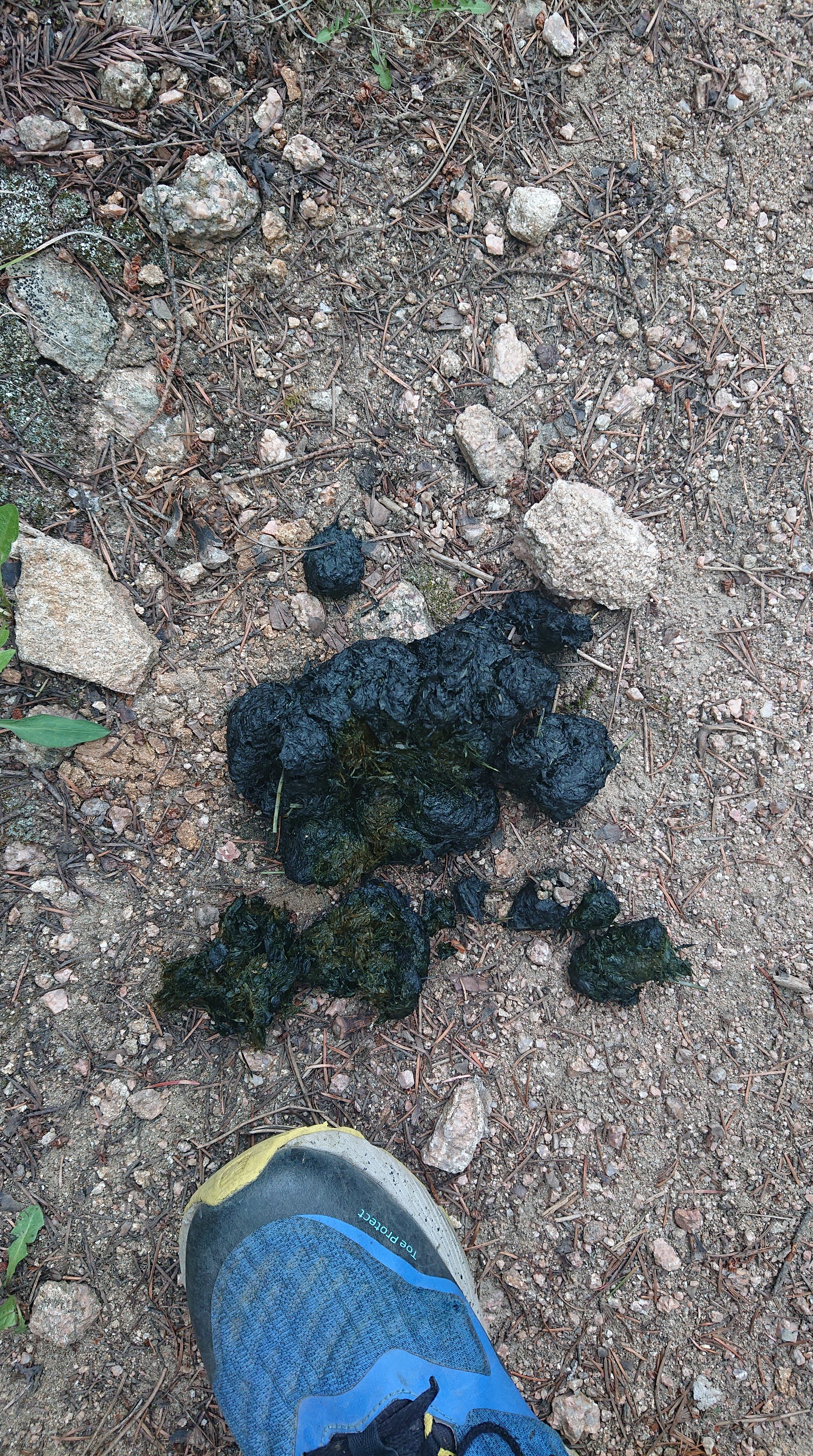
I made dinner near Bear Creek, then filled up my water bottle and hiked on another mile, to put some distance between me and the bears. At the top of the ridge, I found an ideal camping spot – under trees, not near a river, and on a durable surface of gravel and pine needles.
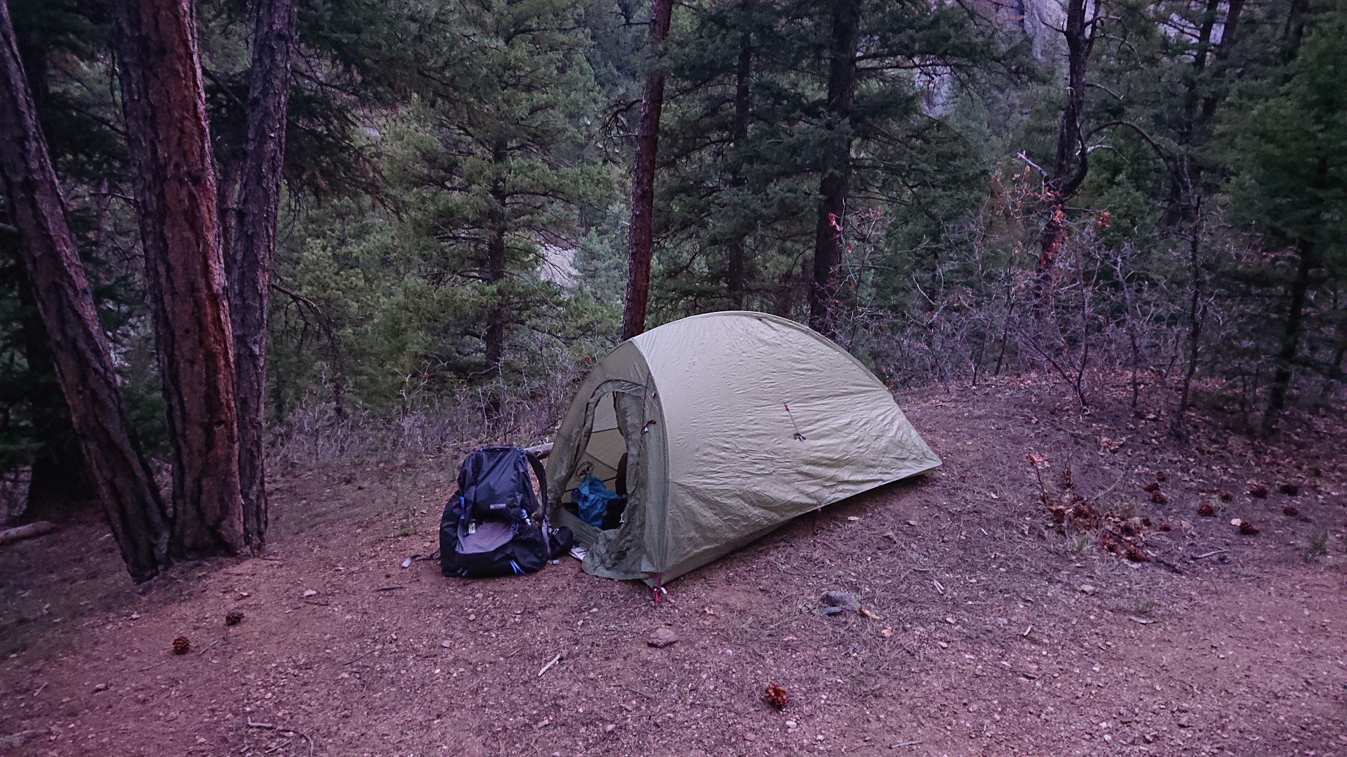
I’m using a new tent, a Big Agnes Fly Creek UL1. It feels a little smaller than my old 2014 Fly Creek, and much smaller than my Tarptent Rainbow. I’m also testing out a new quilt, a Katabatic Alsek (22F/-6C), to replace my heavier (but much loved) WM Ultralite 20F. Tomorrow, I’ll have new gear results!