Saturday June 27, 23.0mi/37.0km
Poker Flat campground (76.1/5040ft) to Tarn at OR/CA border (99.1/5160ft) (CA)
It was a perfect morning for hiking, it was cooler and there was even a breeze, so much better than previous days. I followed a dirt road for a couple hours, it was nice to stretch the legs.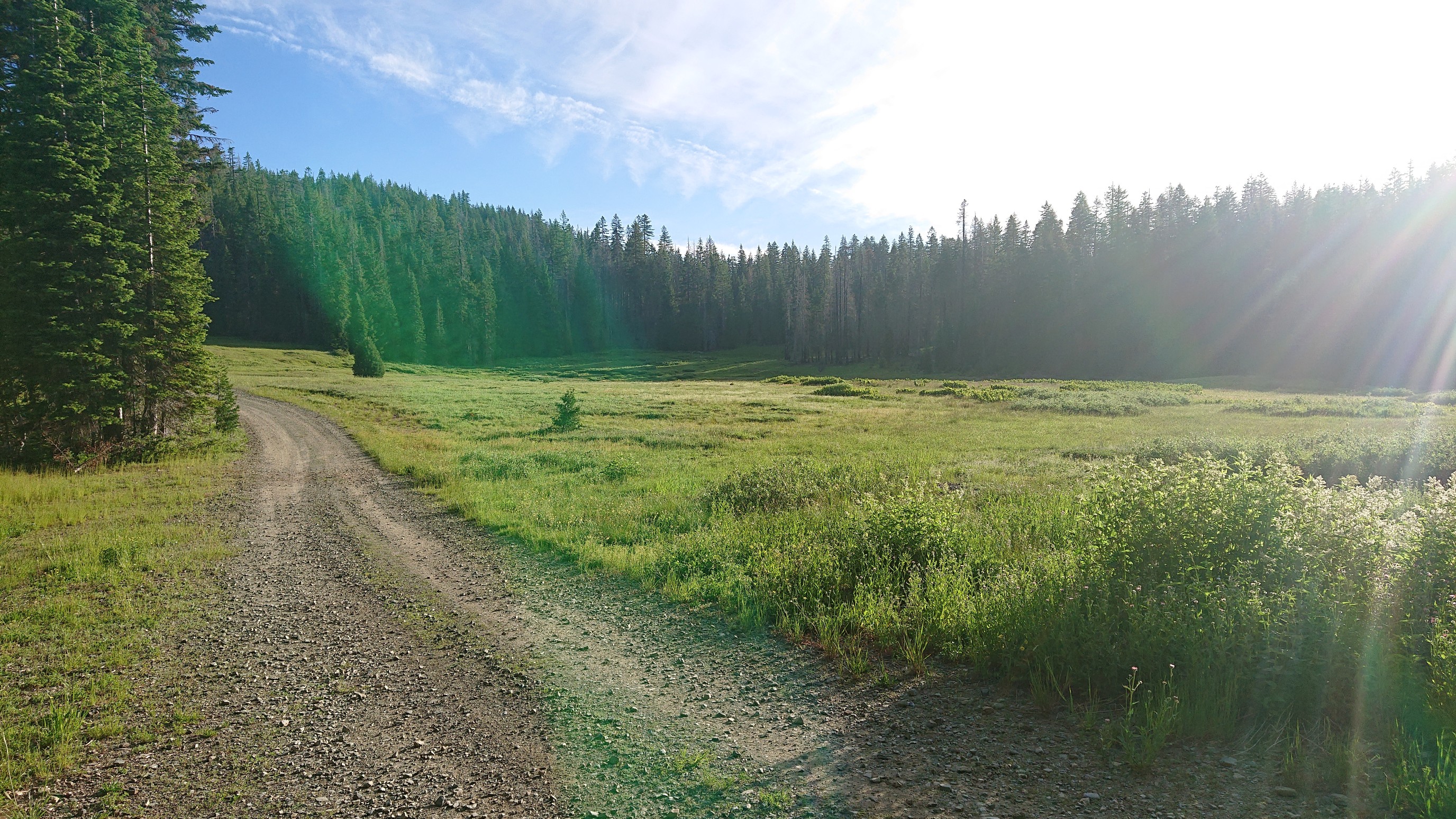 I turned off onto an old logging road for a mile, which had some great views to the valley below.
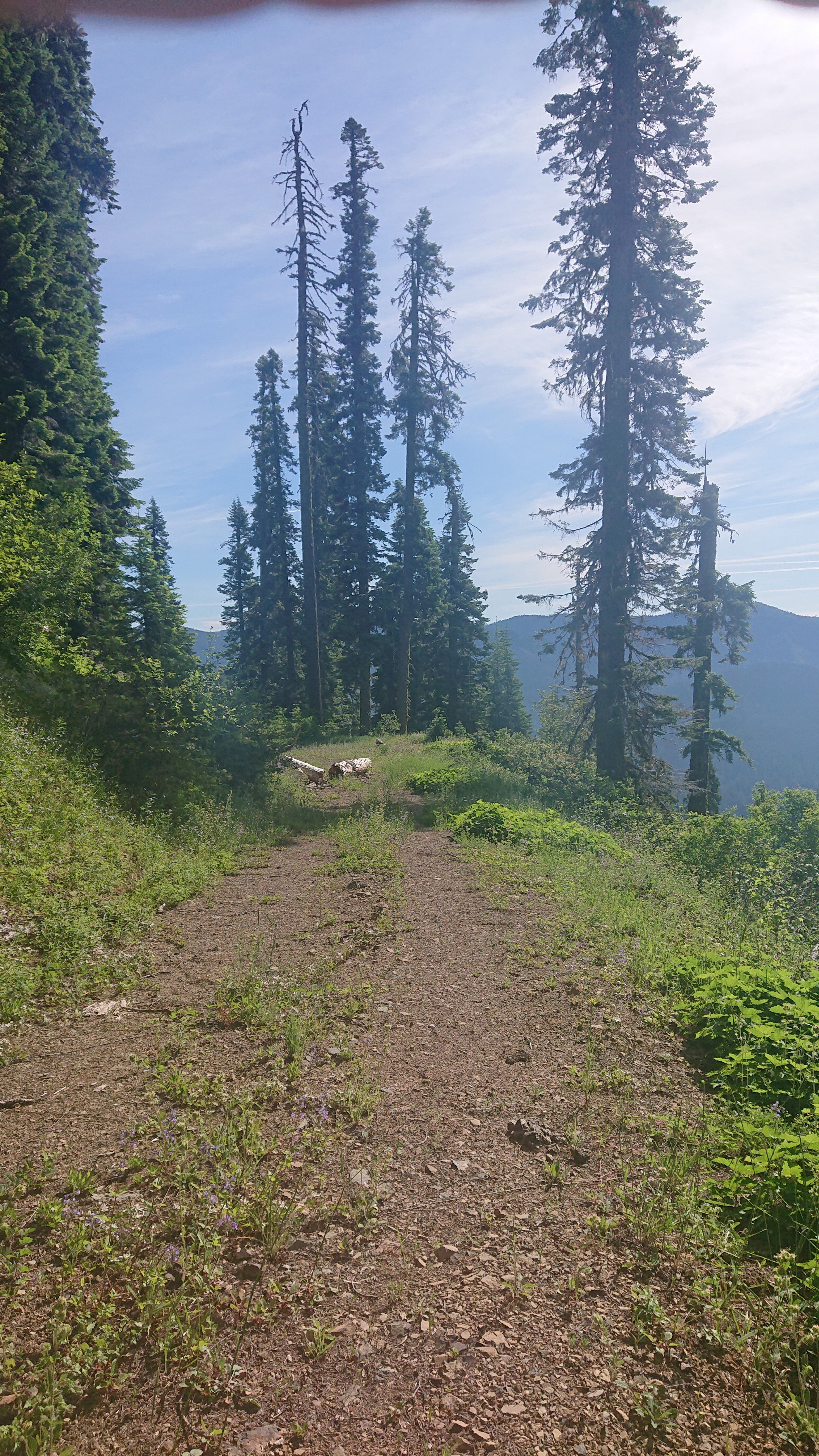
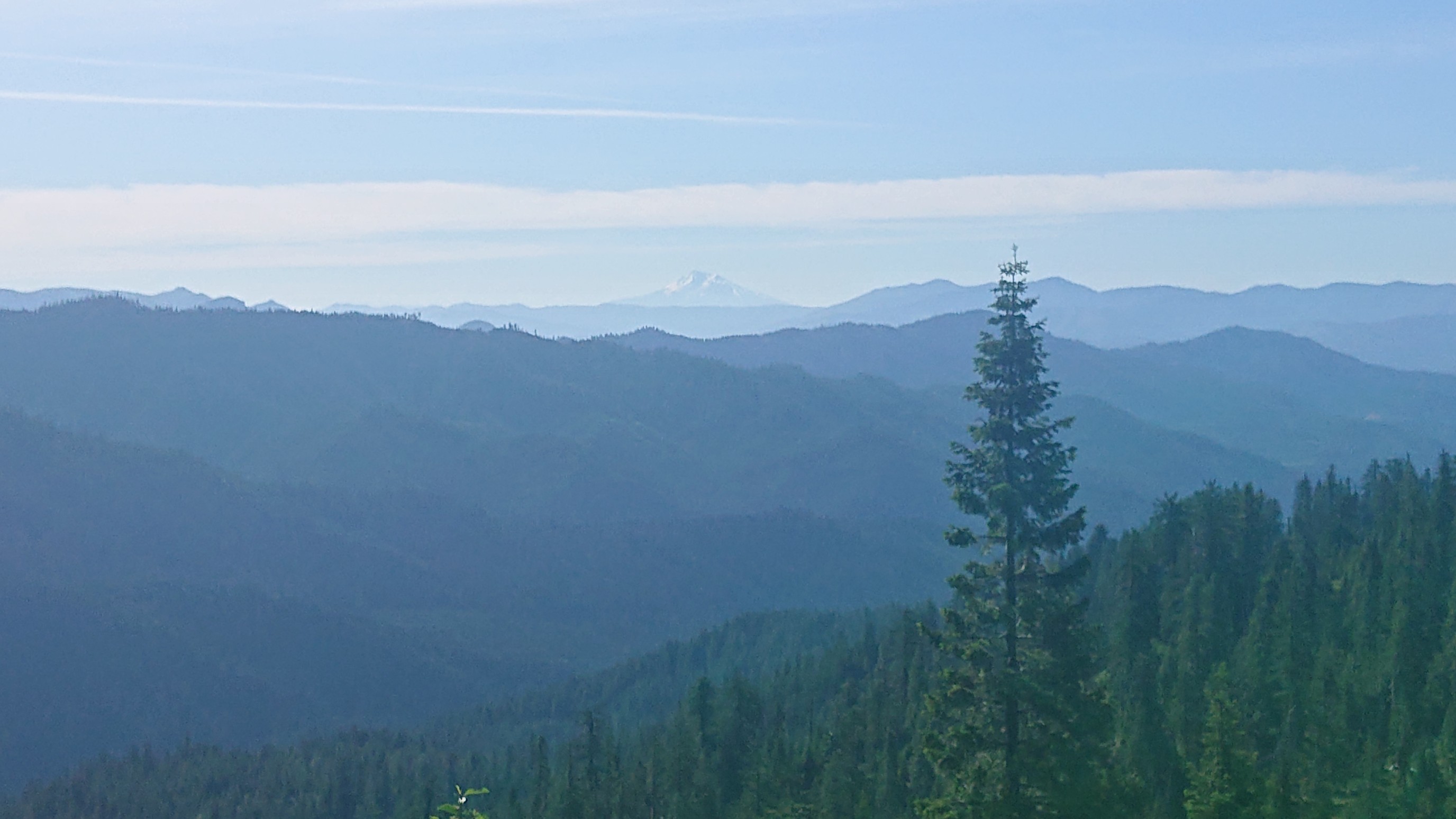 And then, the bushwhack started. I followed old flagging tape, and the first 0.1 miles took me 20 minutes. It was thick.
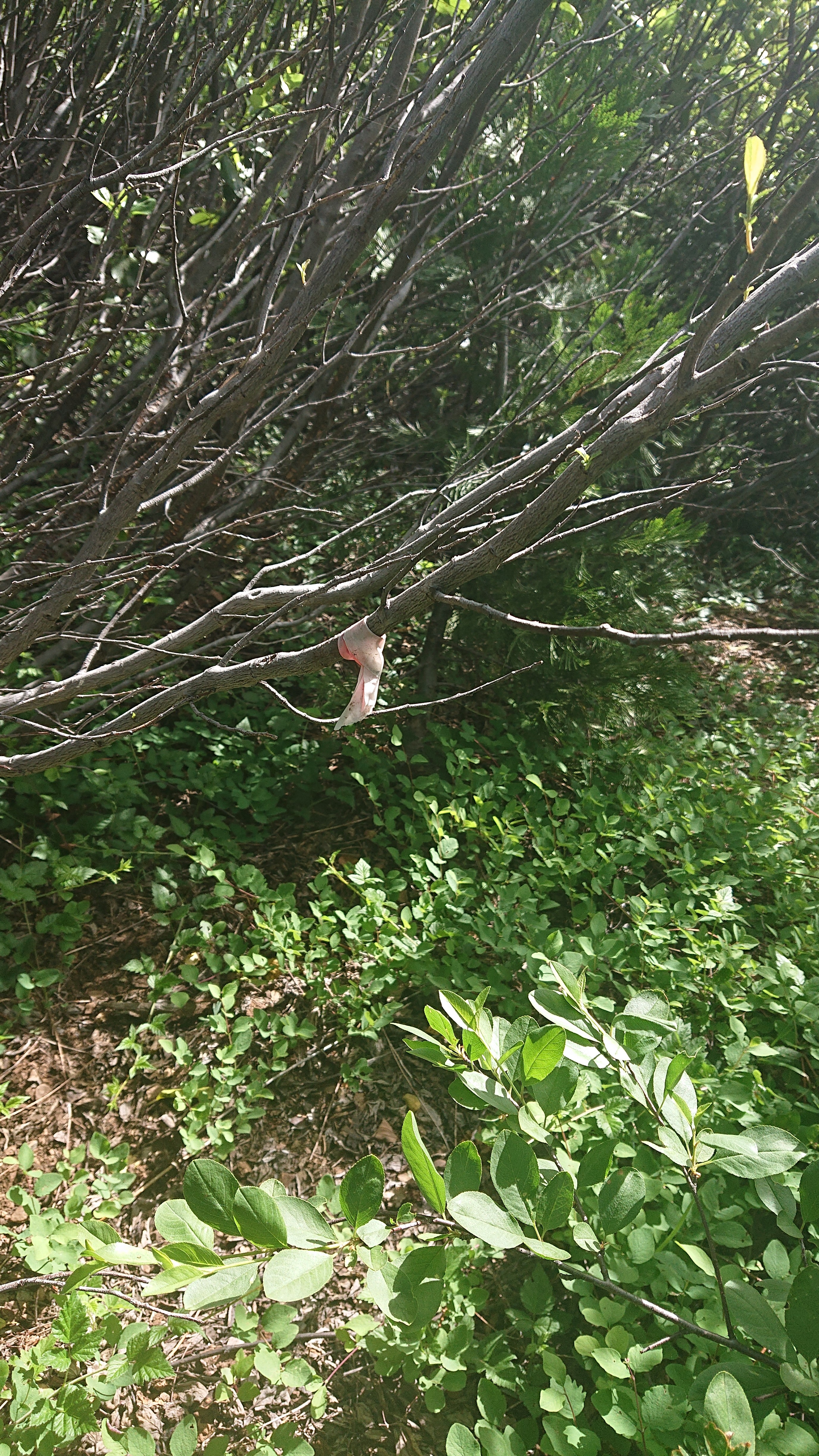 Finally, I came to a rocky outcrop and was able to see what I had just come thru.
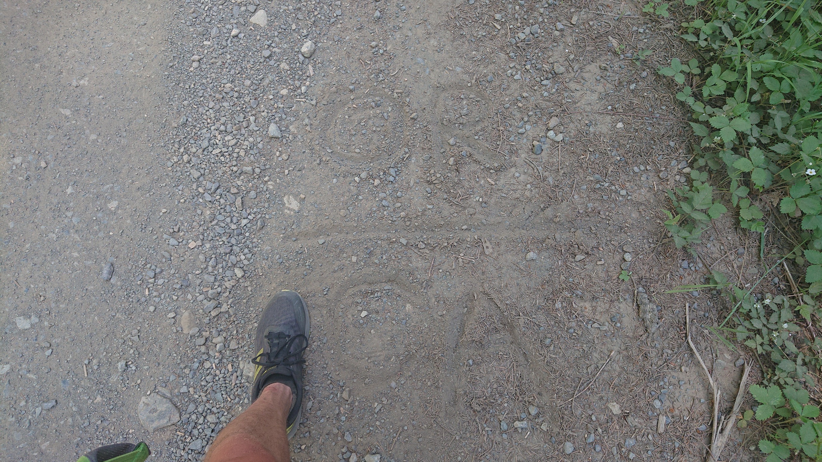
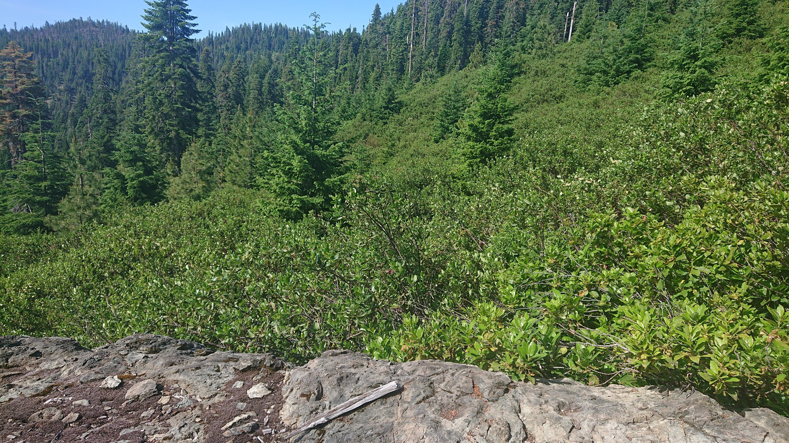 It got better, as I followed the flagging tape thru a mature forest. But being described as a “rough trail” in the guide felt dishonest. After an hour beating thru the forest, I emerged on a paved road, the Bigfoot highway. It was getting hot, so I was glad to turn off onto a shaded dirt road quickly. I looked down and saw writing, yup I was now in Oregon!
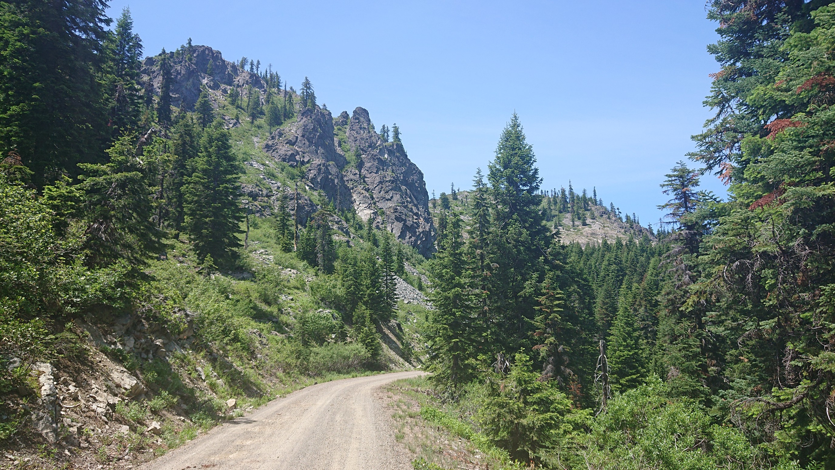
 It was a nice three hours on the road, with only a couple cars and some amazing views.
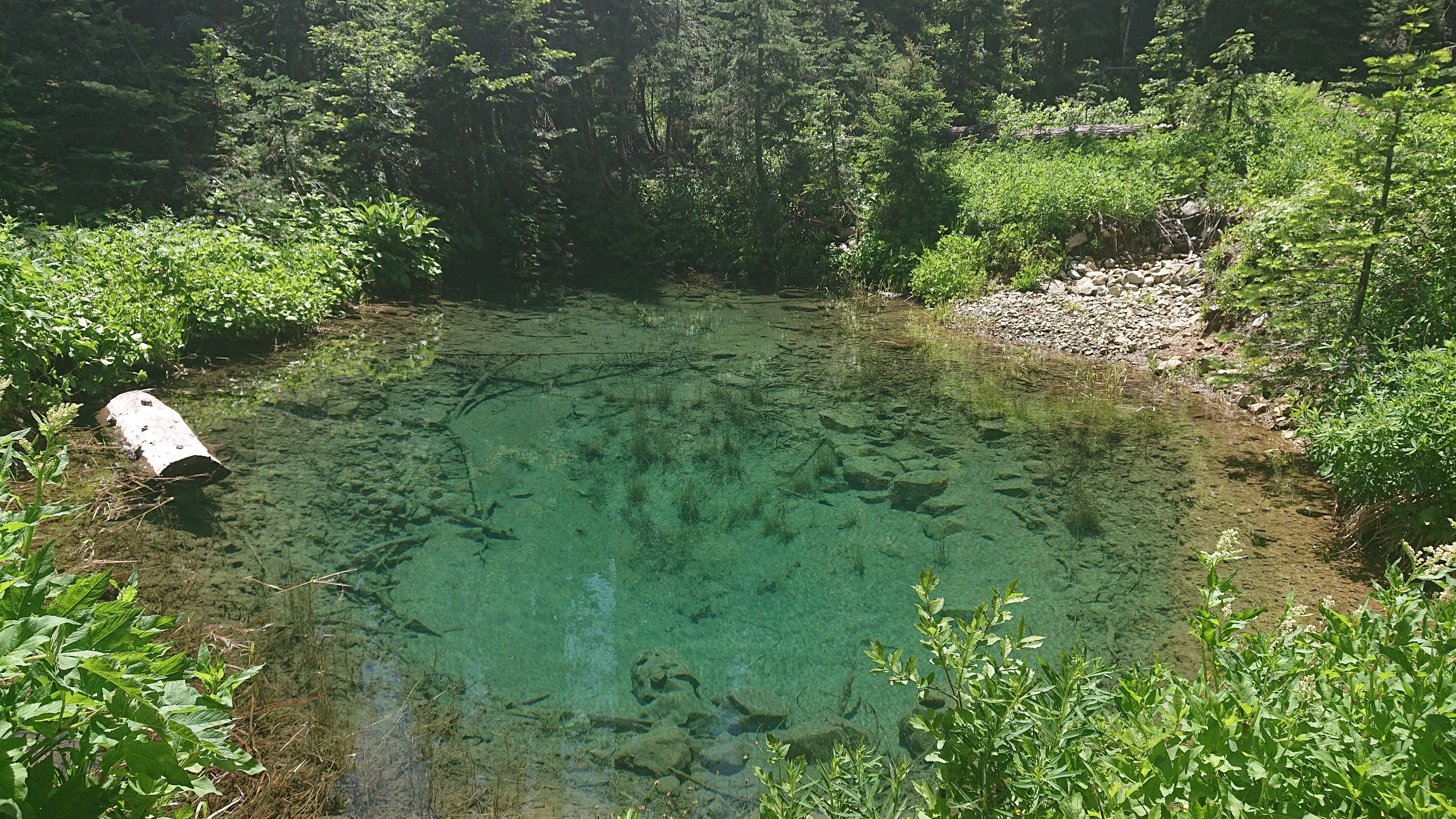
 I forgot to get water at the Bigfoot highway, and when I got to the next creek it appeared dry. Oops. But, I could hear water, so I wandered downhill to this amazing little artesian well.
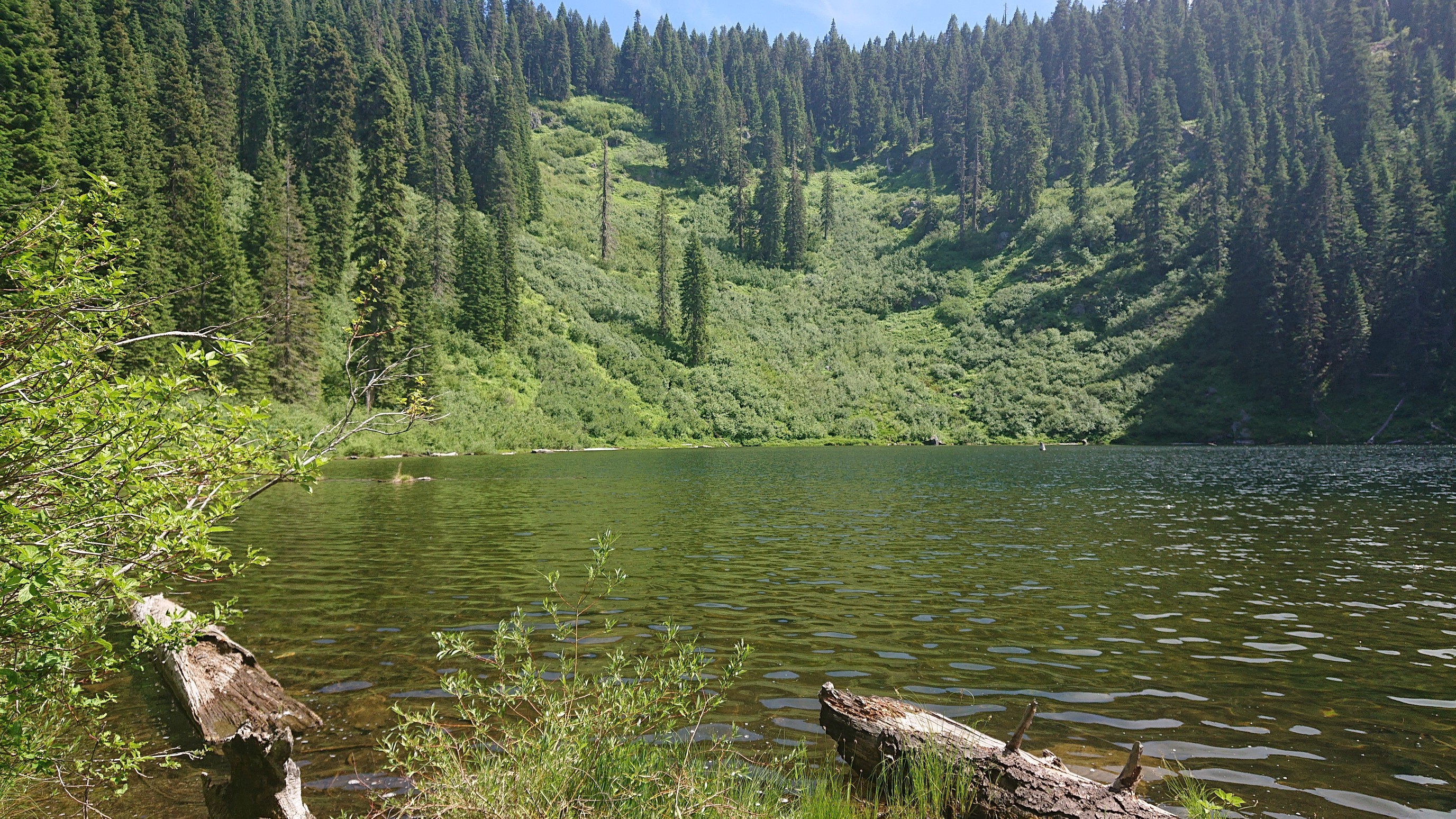
 Then the road ended, and I picked up a nice trail. I took a long break at Tannen Lake.
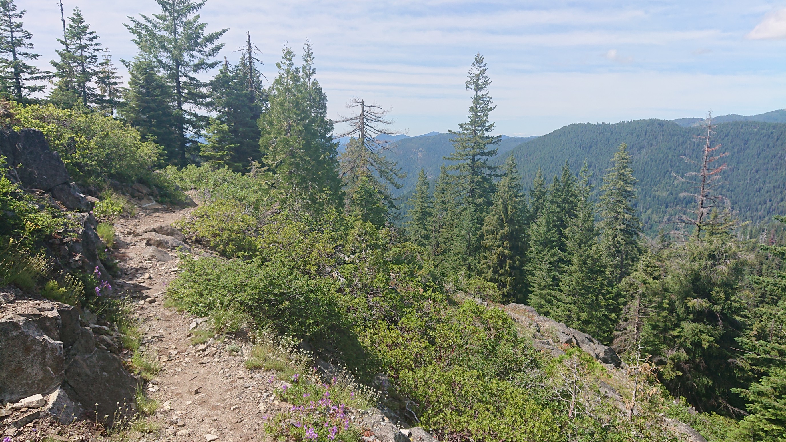
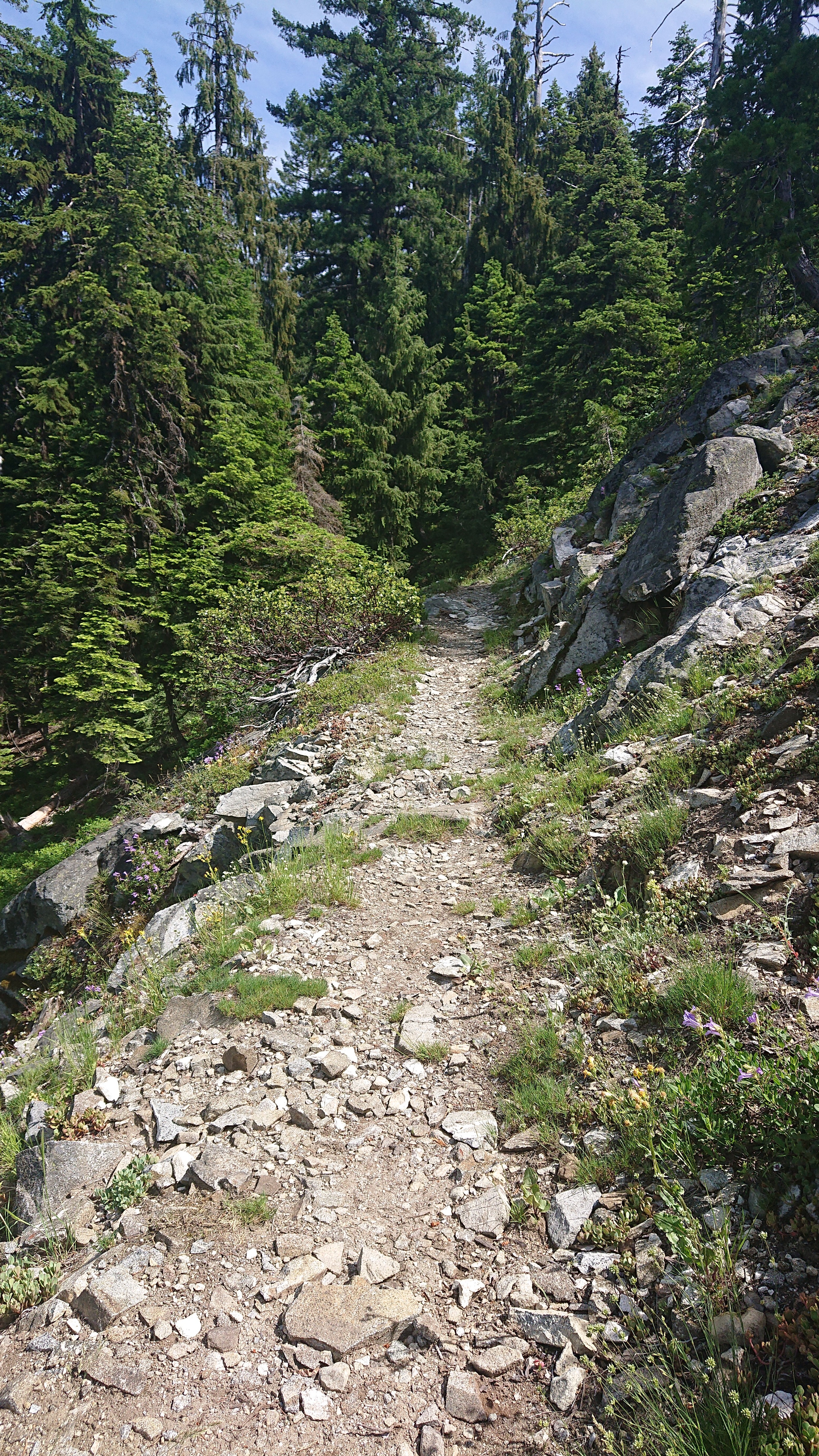
 This trail continued on, and merged with the Boundary Trail. I was loving the views as it wove around the ridgetops.
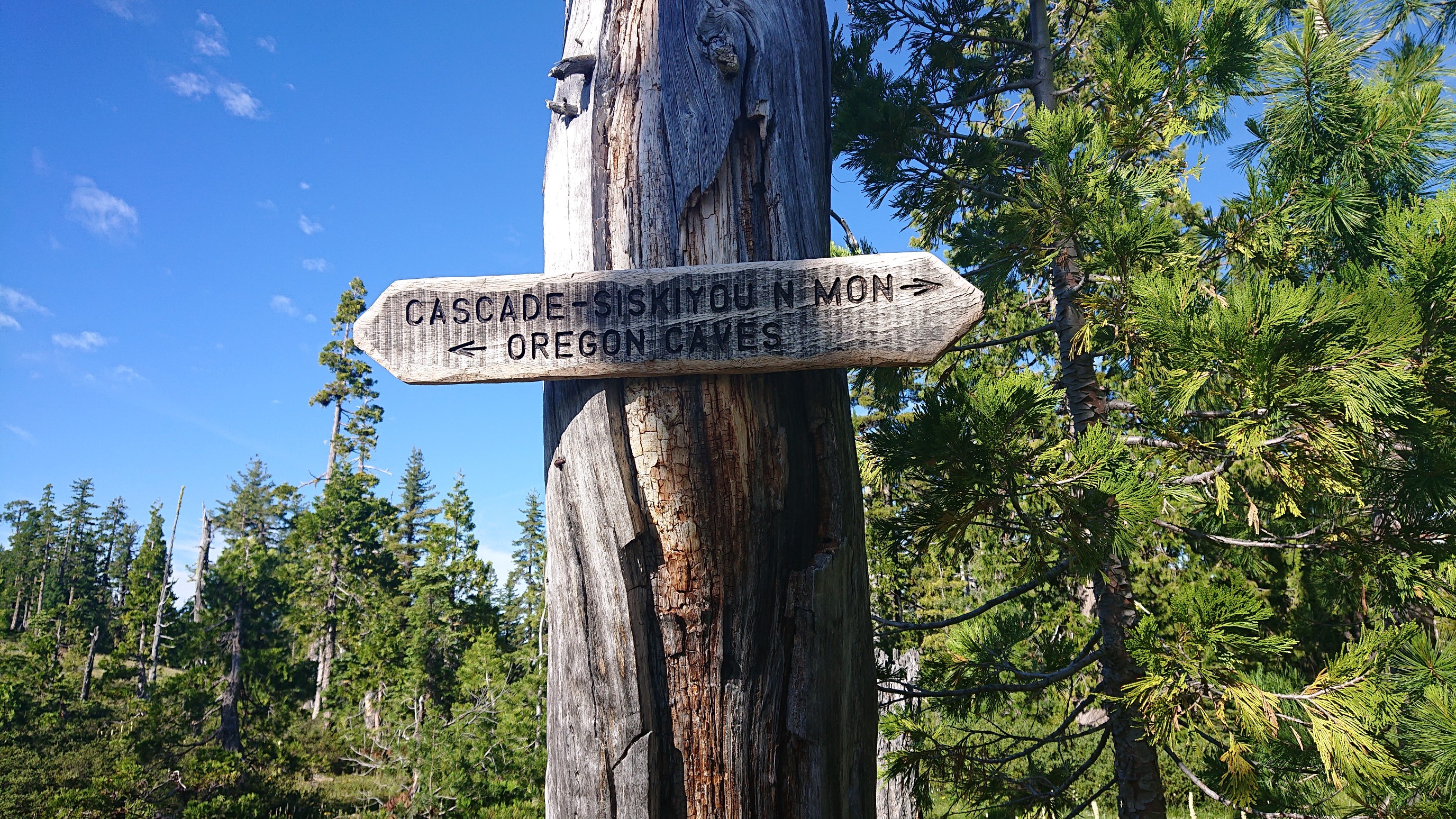
 I came to a junction, and got a little sad. Caves! Had I known, I could’ve planned for a detour. Oh well.
 The forest turned to fields, and they were full of beargrass.
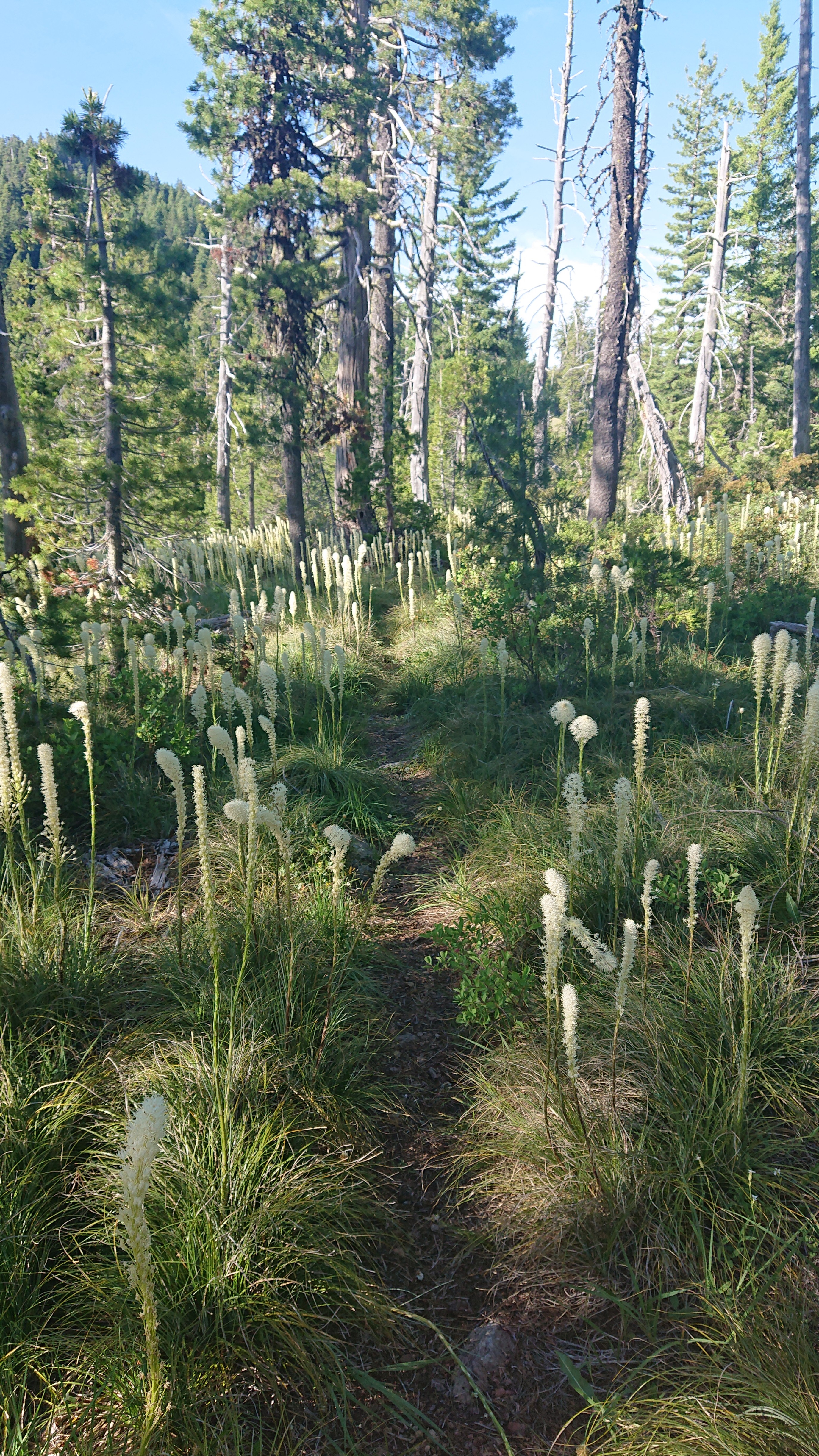 Bears love to eat it, which I remembered as I setup my tent at the edge of the field, next to a tarn.
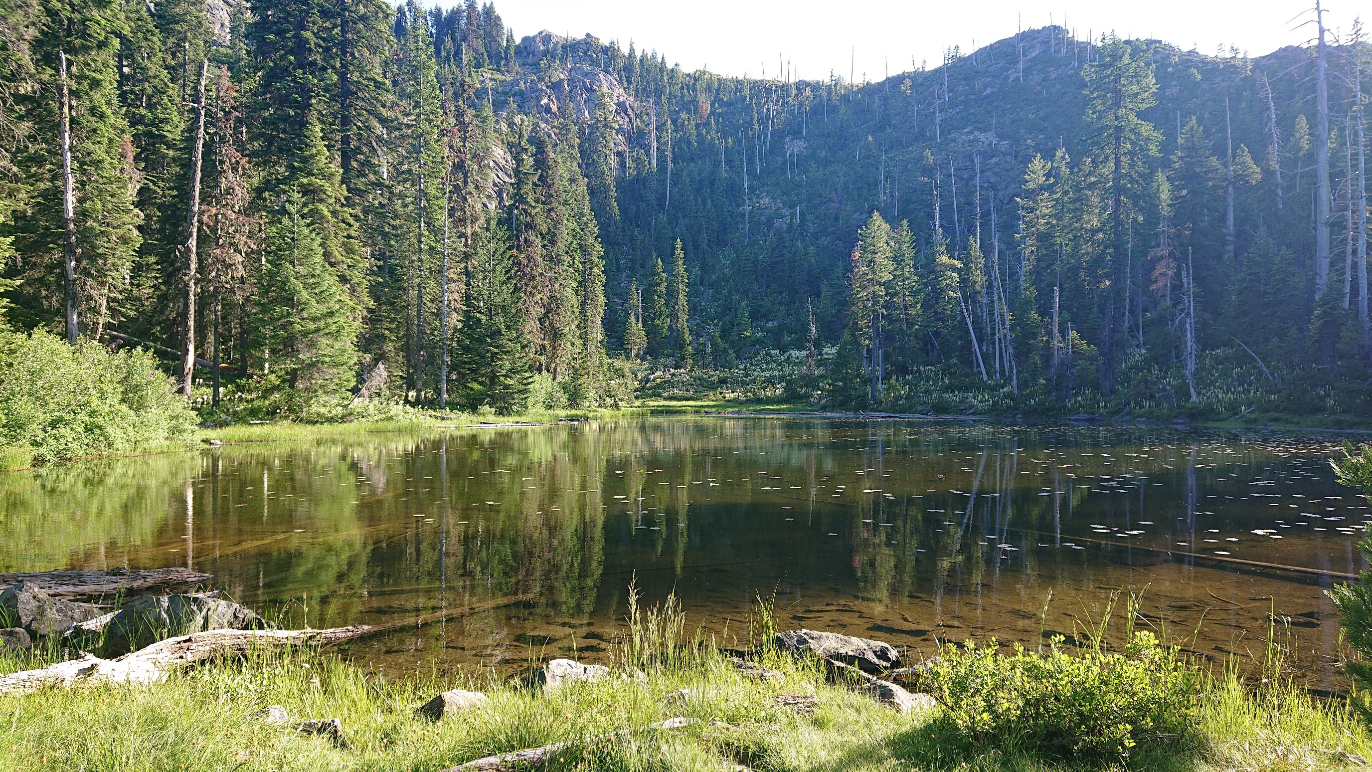 Hopefully no bears come down for a midnight snack, ha!