Thursday July 9, 20.0mi/32.2km
Red Mountain Creek (318.5/2720ft) to North Yolla Bolly Spring (338.5/6160ft) (CA)
I enjoyed a couple hours of walking on terrific trail, above the South Fork Trinity River.
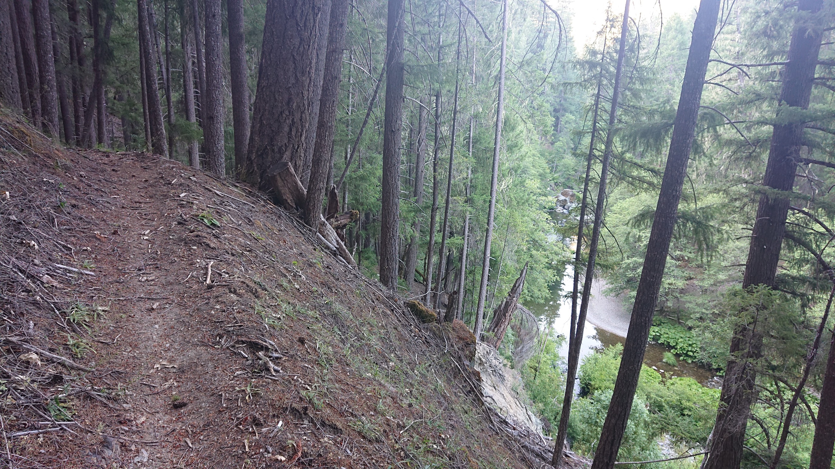
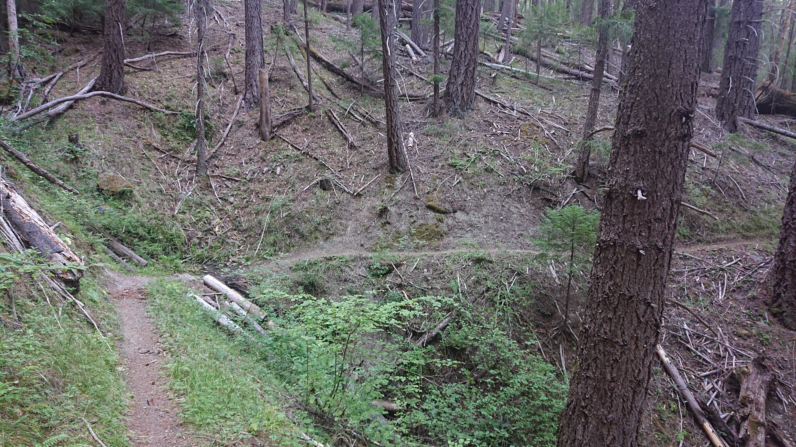
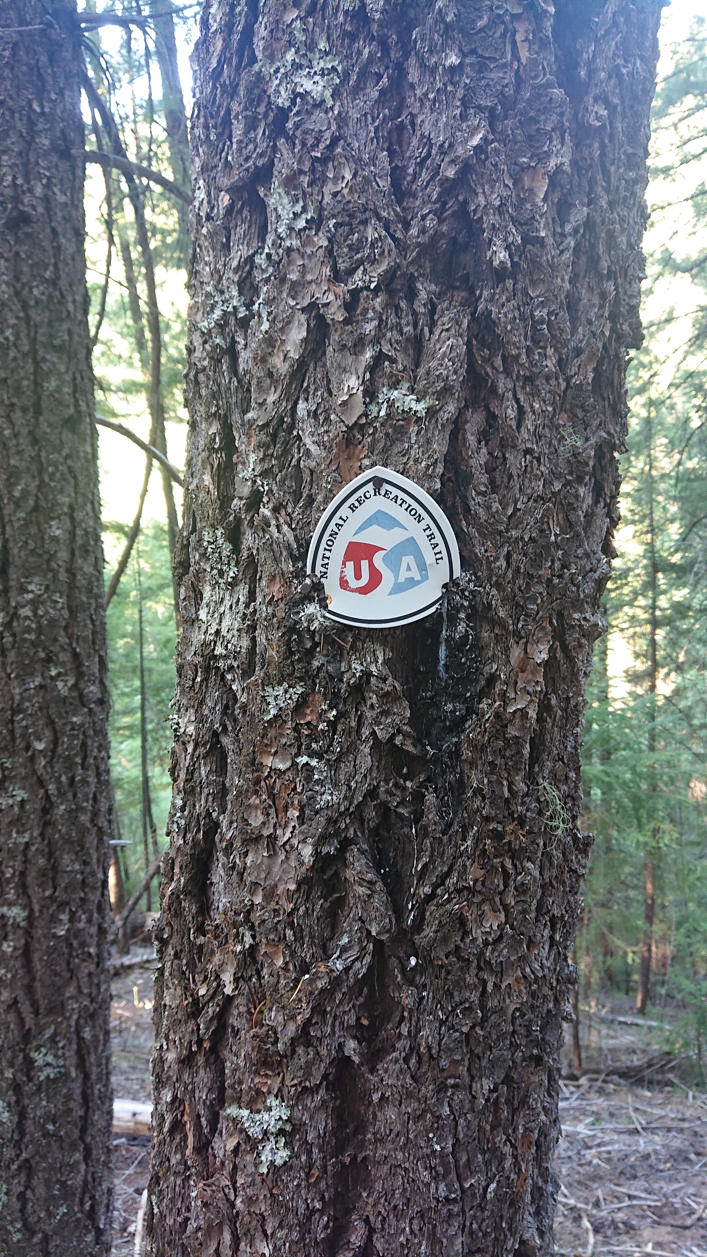
Apparently this section is also a National Recreation Trail!
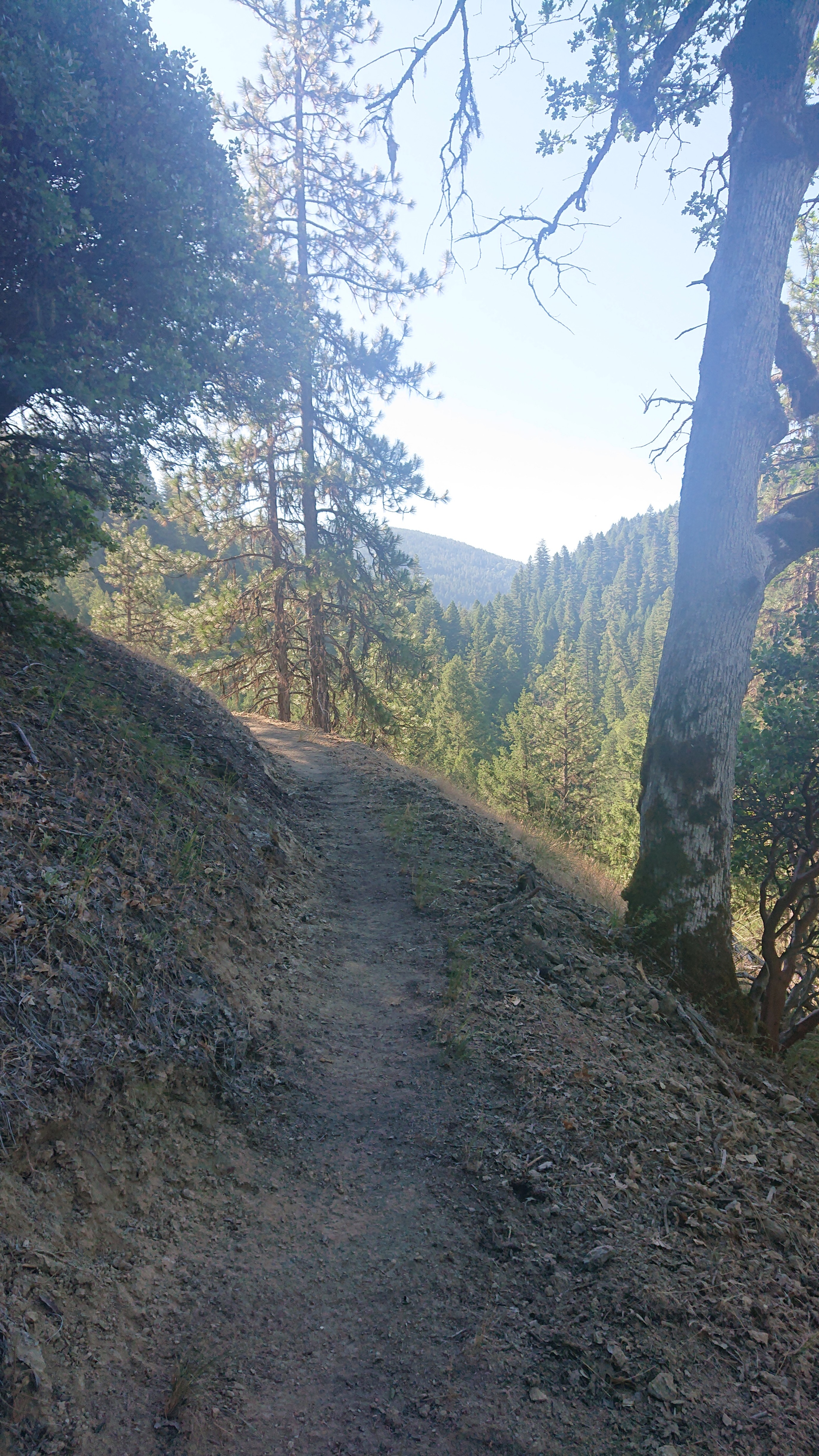
I gradually climbed along the river, with cool views to the valley.
I crossed the river, and I noticed that the map said it was 3.4 miles to this point. Ha! I walked a smooth flat trail for 2 hours, it’s probably closer to 6 miles. After finishing my jar of Nutella, I forded the river and started the roadwalking section.
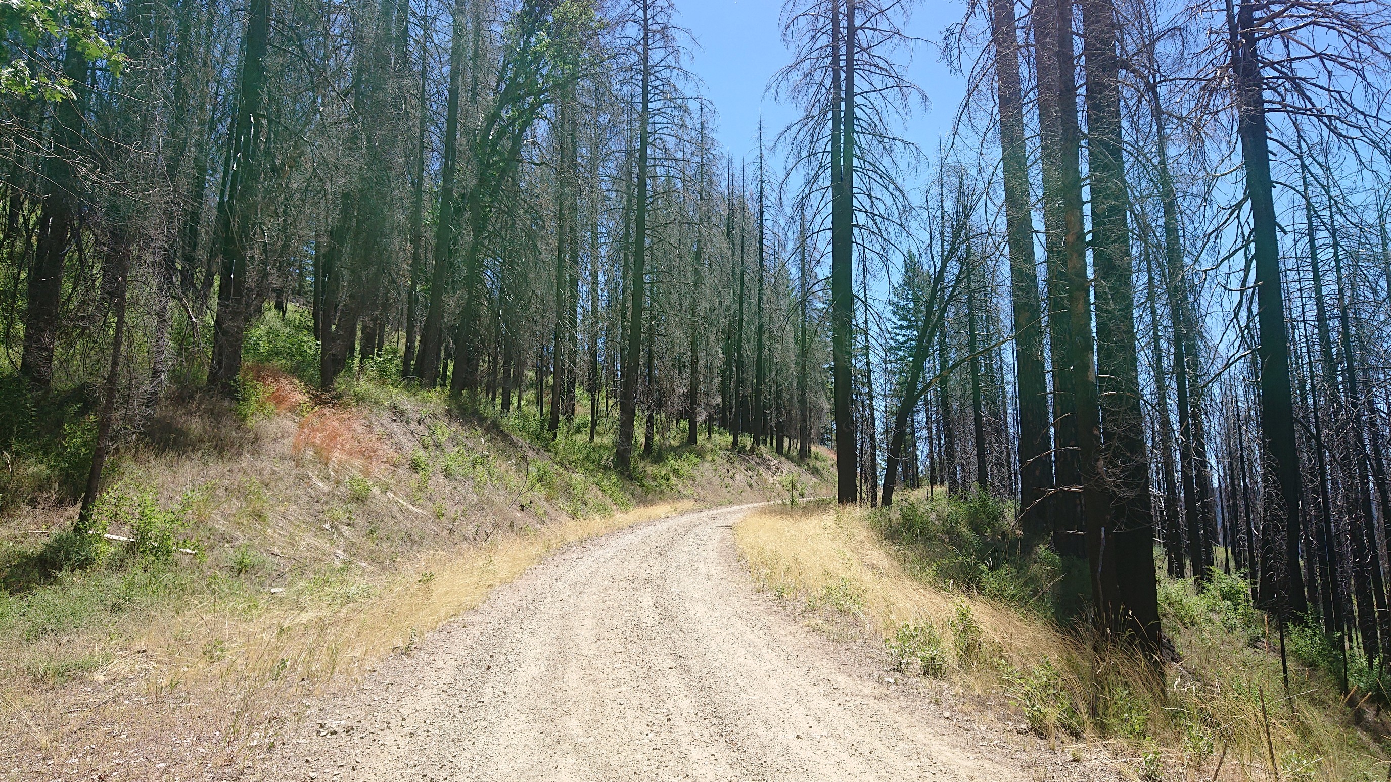
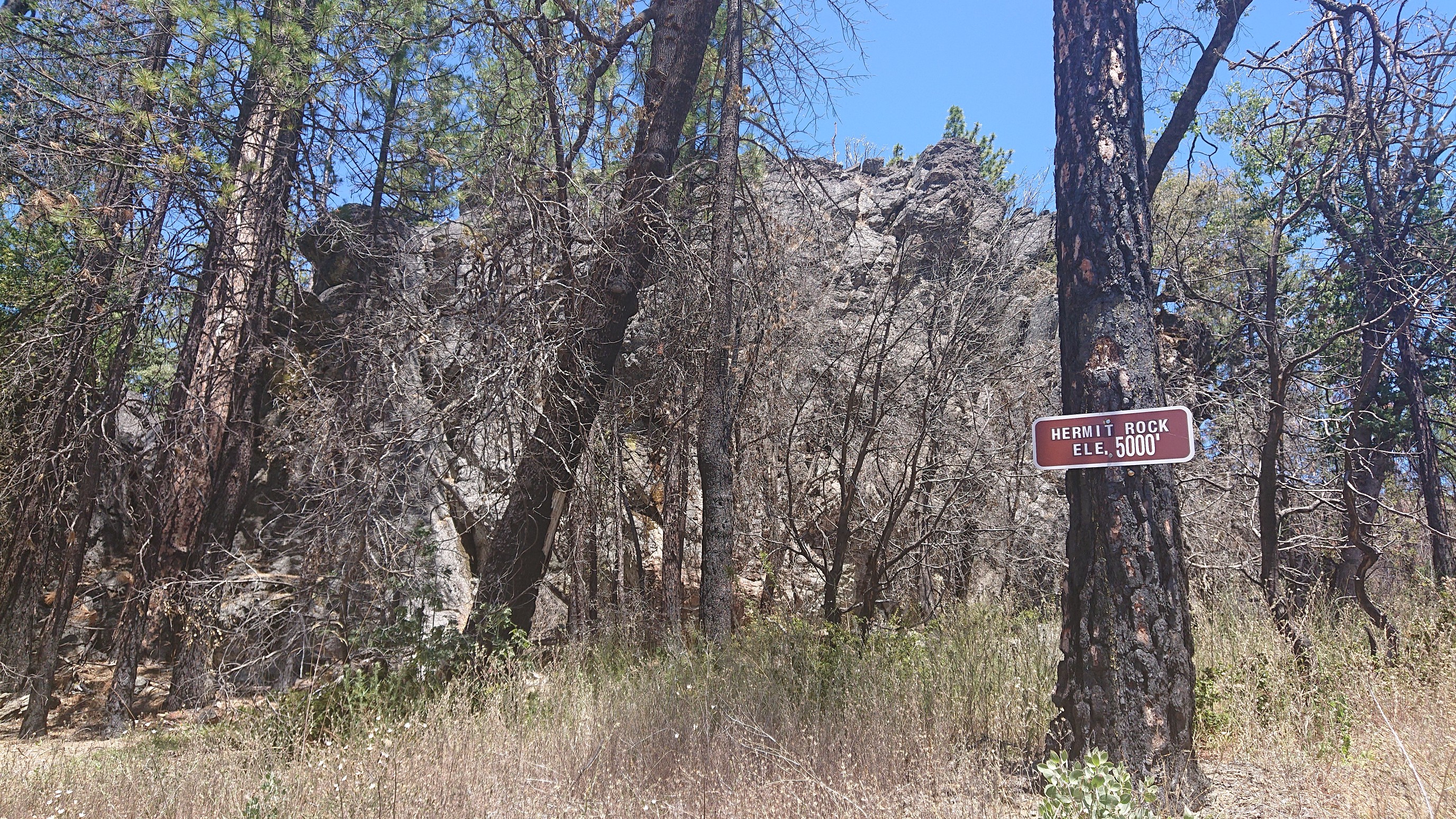
The road gradually climbed 2000 feet over 10 miles, so it was easy to cruise along. Occasionally there was the random point of interest.
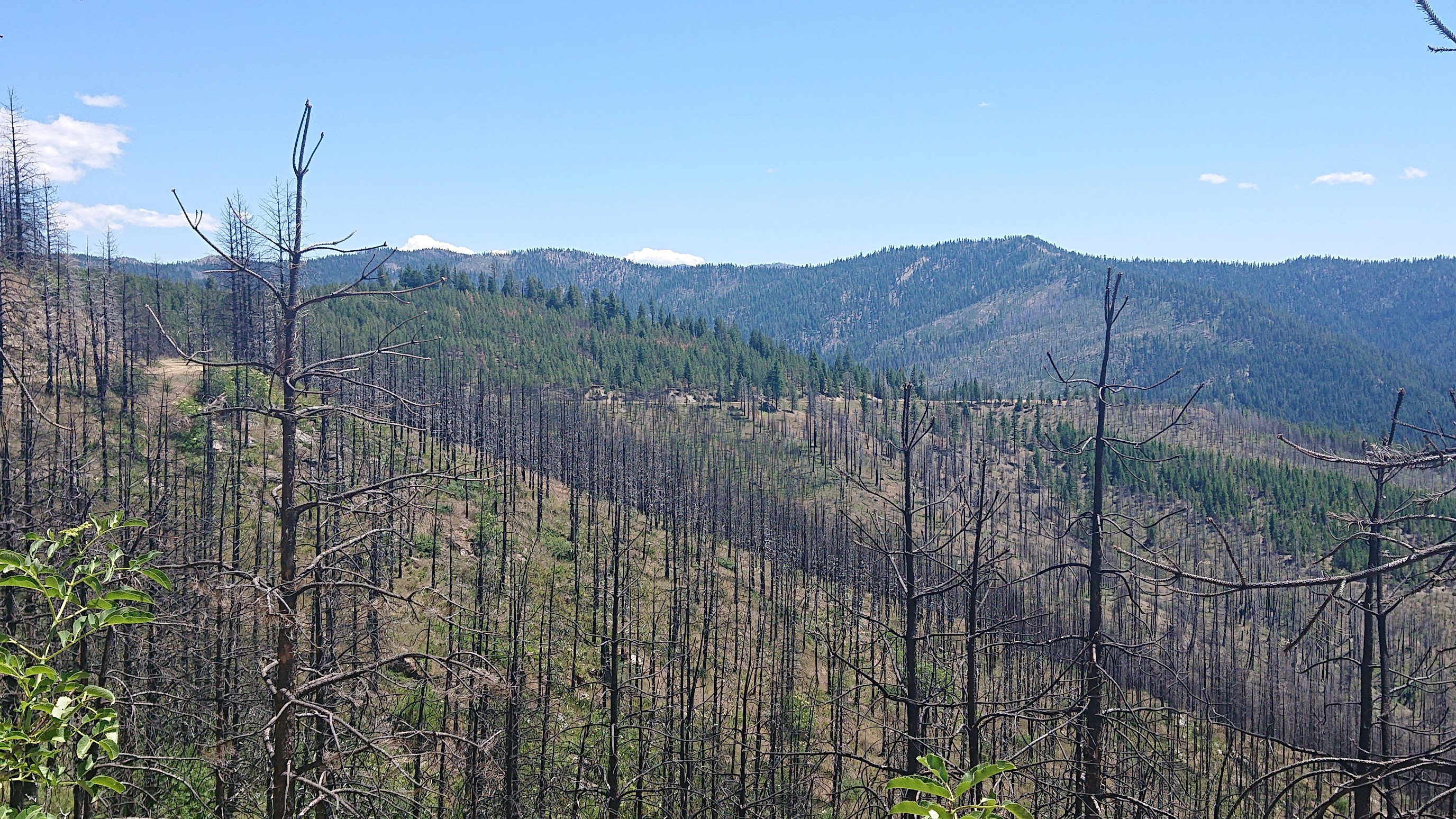
I could see the end of the road (far right in photo) as it weaved around the mountains.
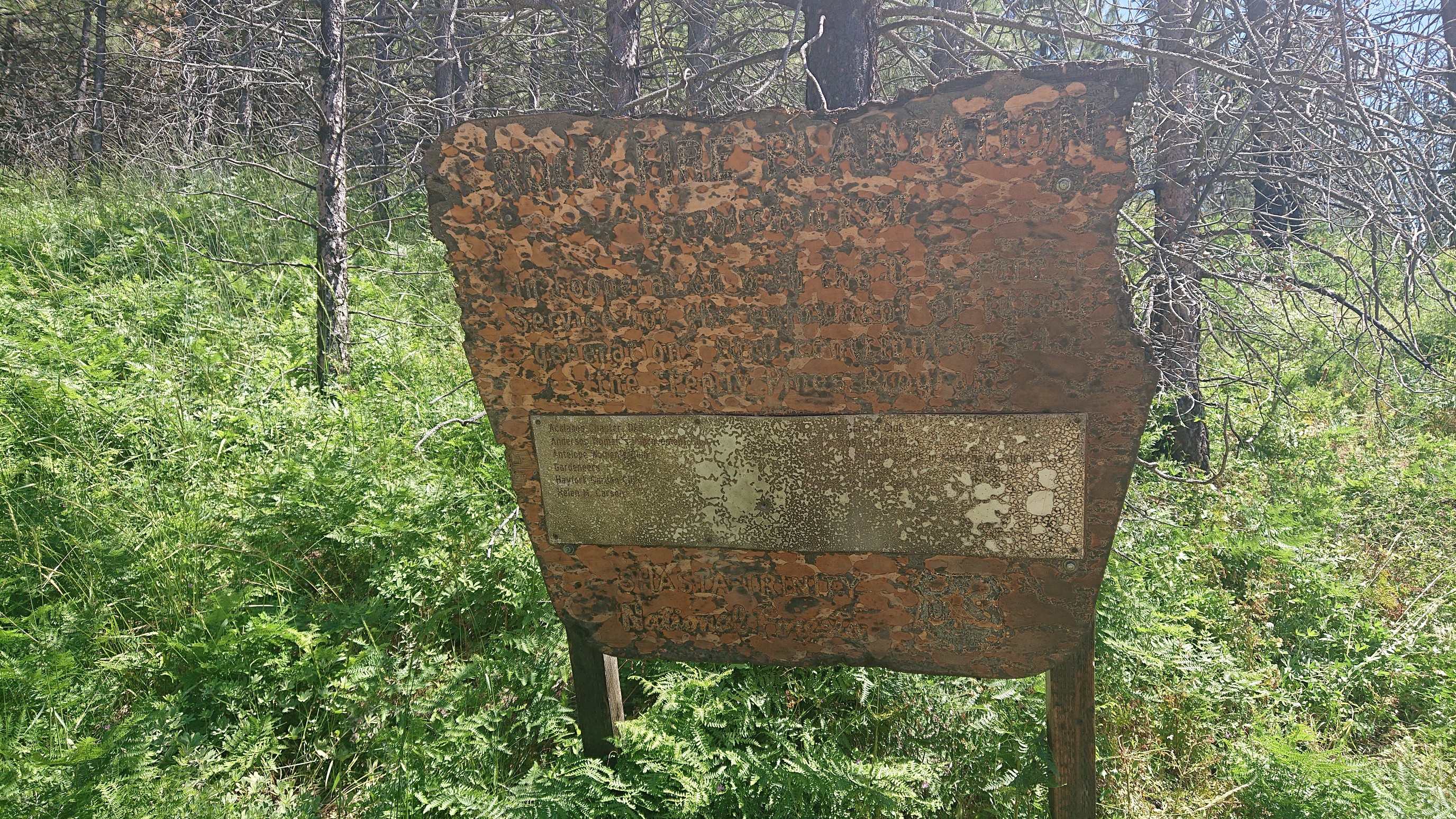
I bet this sign said something interesting before it was burned up.
I made it to West Low Gap trailhead at 3pm and had a long break in the shade, since I knew the next part was uphill, exposed and hot.
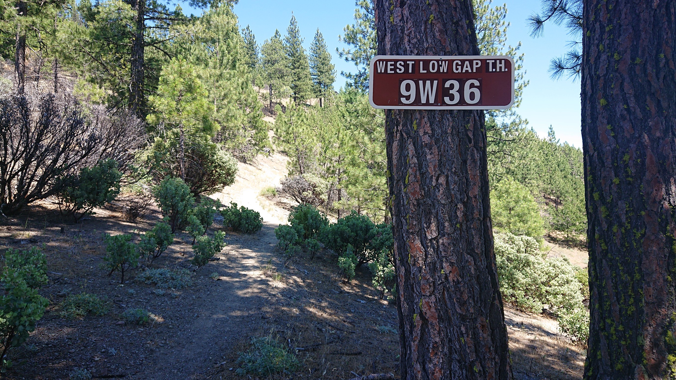
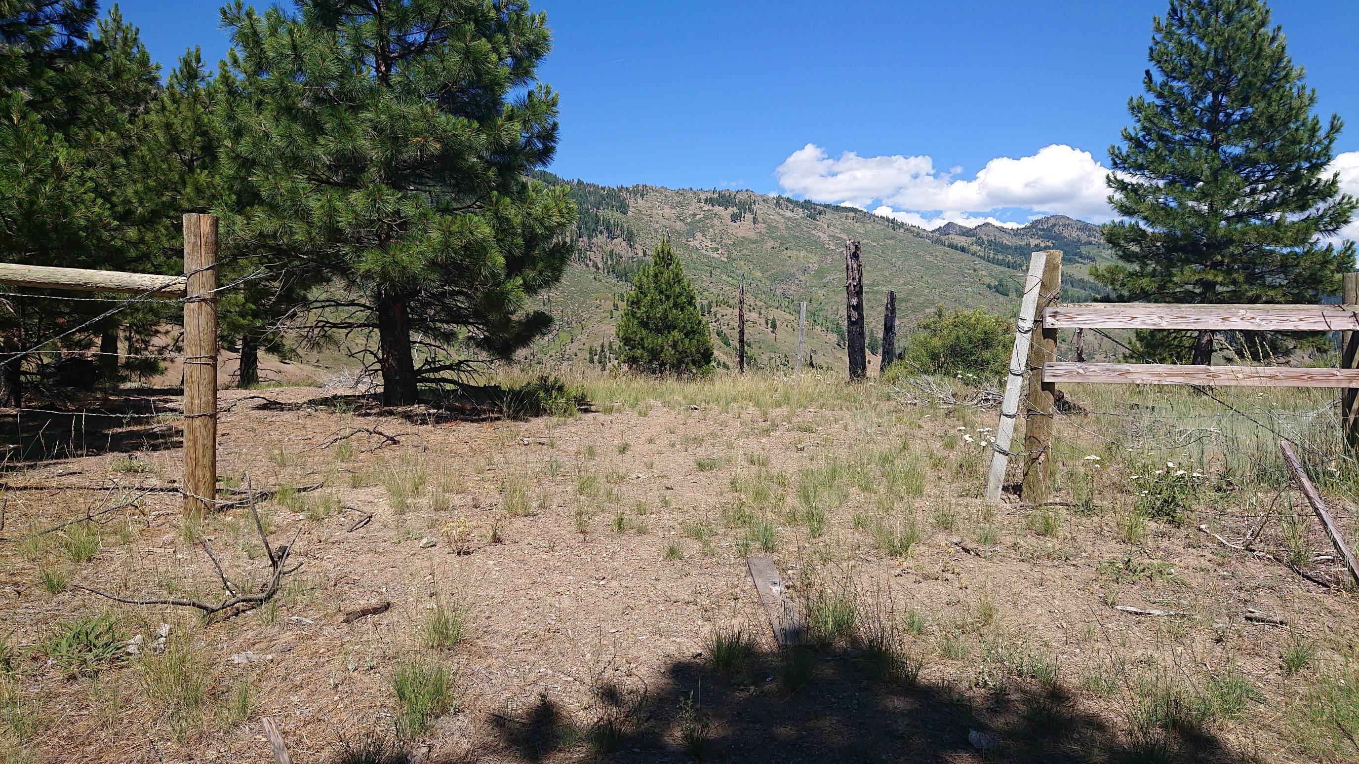
Eventually after eating hundreds of calories I started hiking again. Within a few minutes I passed by a fence and entered the Yolla Bolly Wilderness.
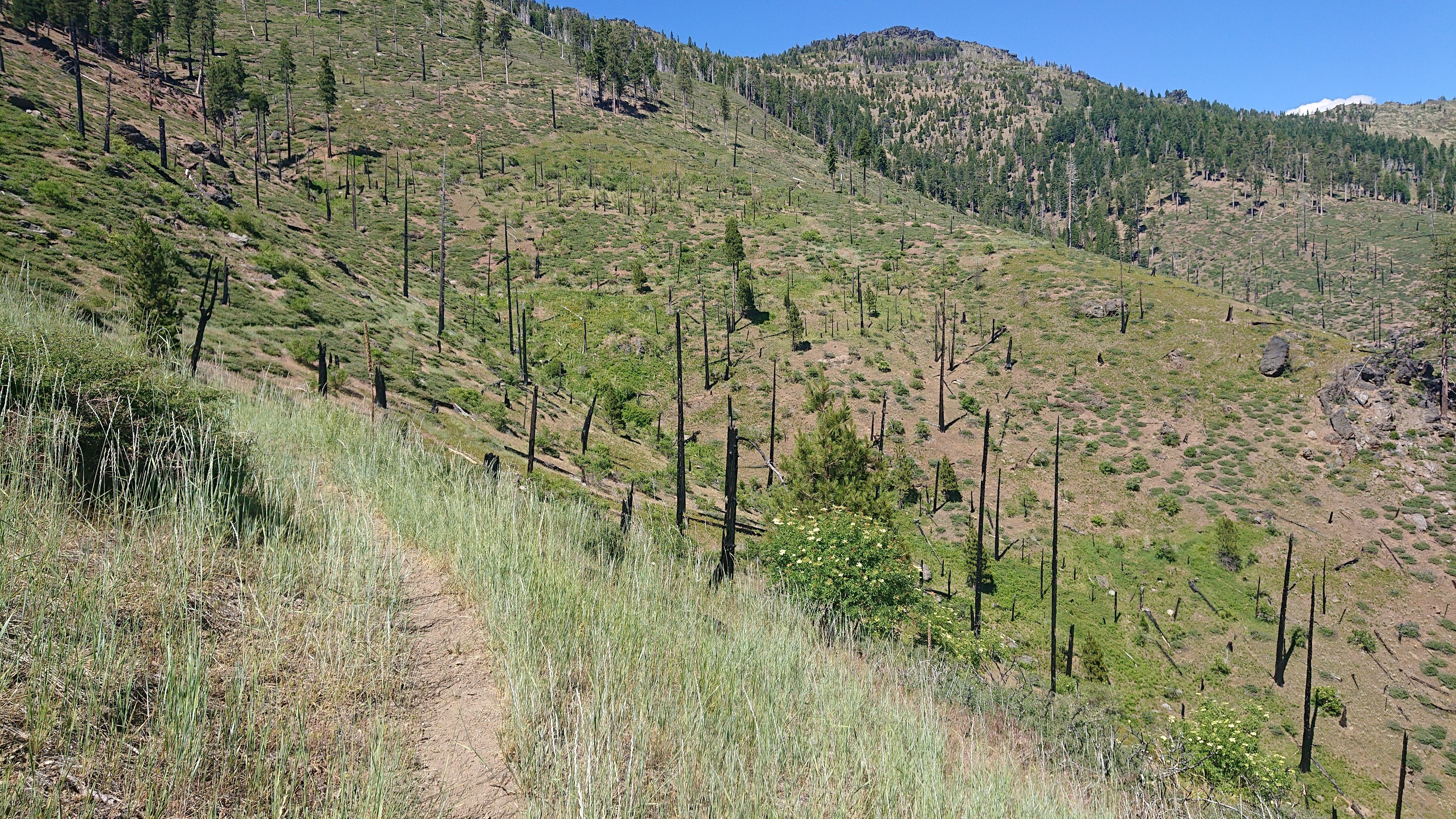
The trail was neat as it slowly climbed below some mountains thru a burned area.
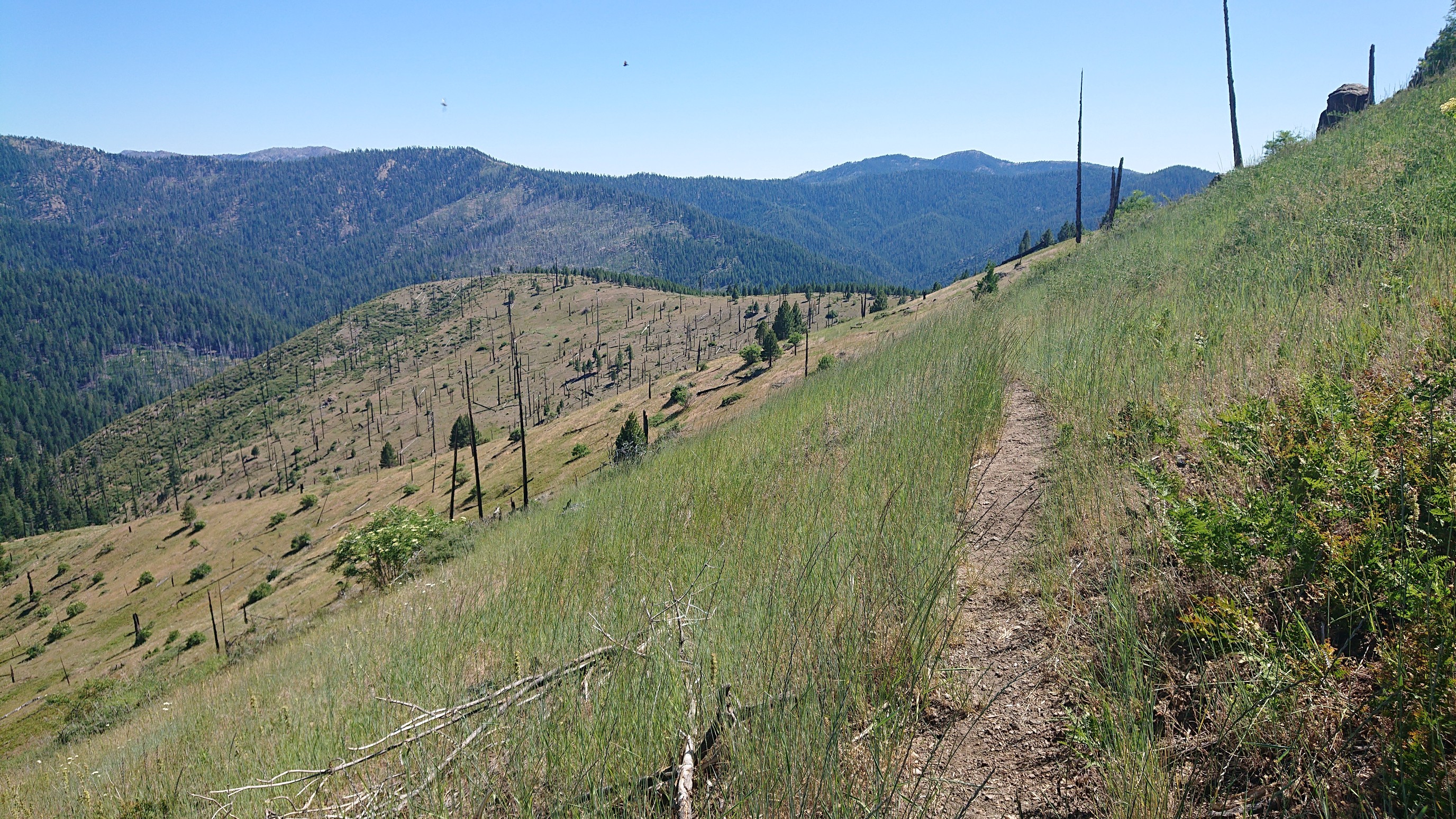
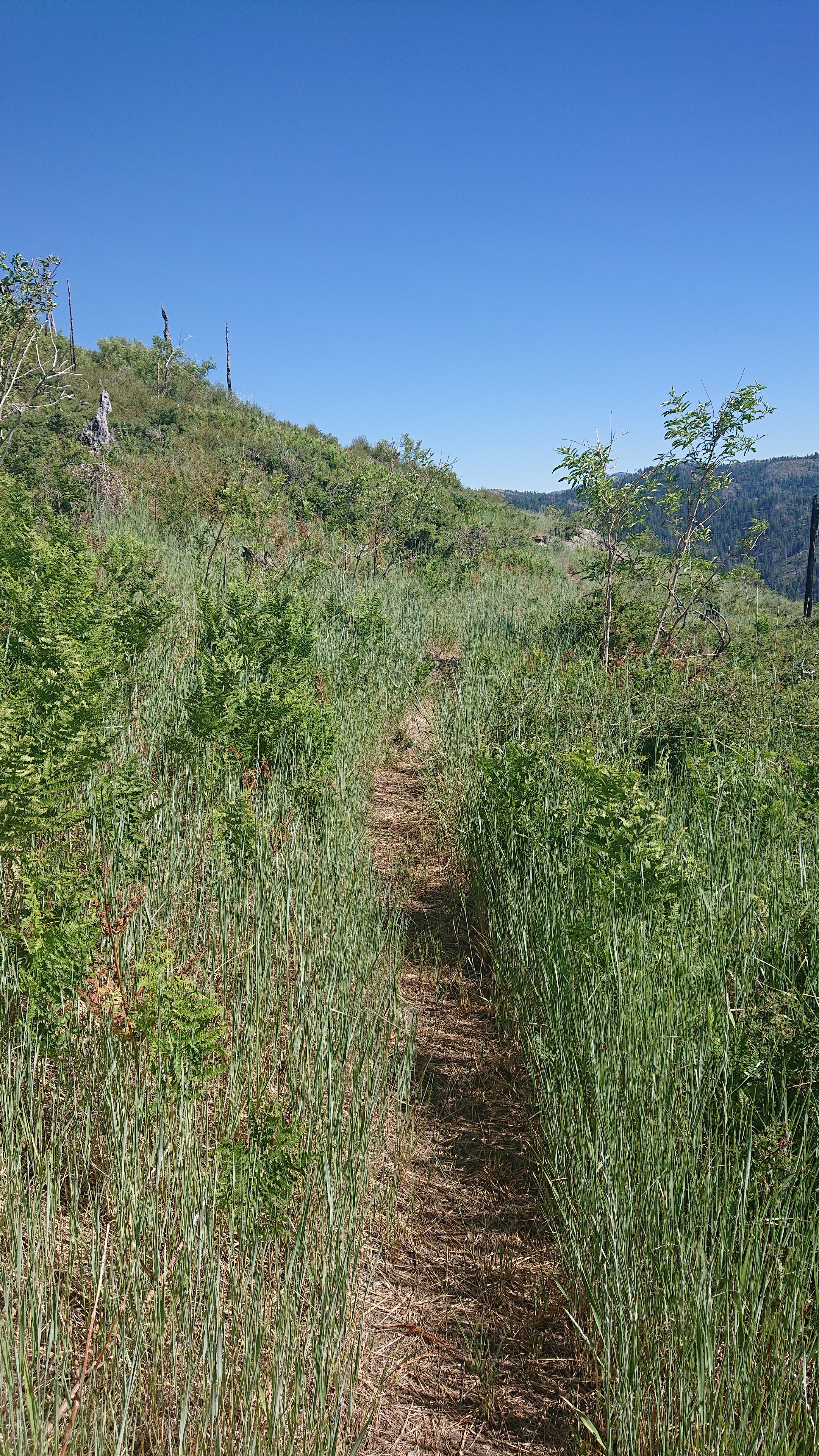
I could see the trail up ahead for a mile, a nice preview of the upcoming hiking.
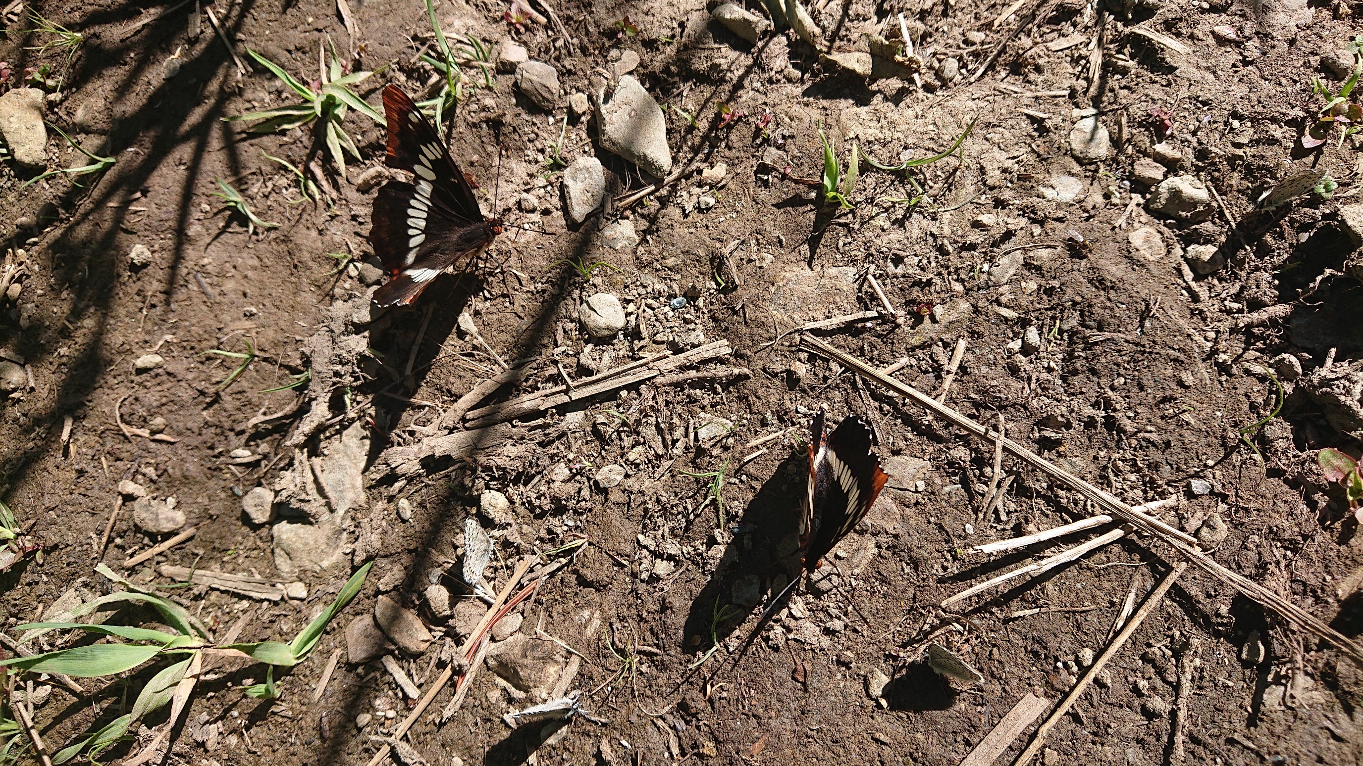
There were a few small creeks, and these butterflies would gather by the dozens.
The trail was mostly a nice path thru grass, but occasionally would have thorny bushes that were very “exfoliating”.
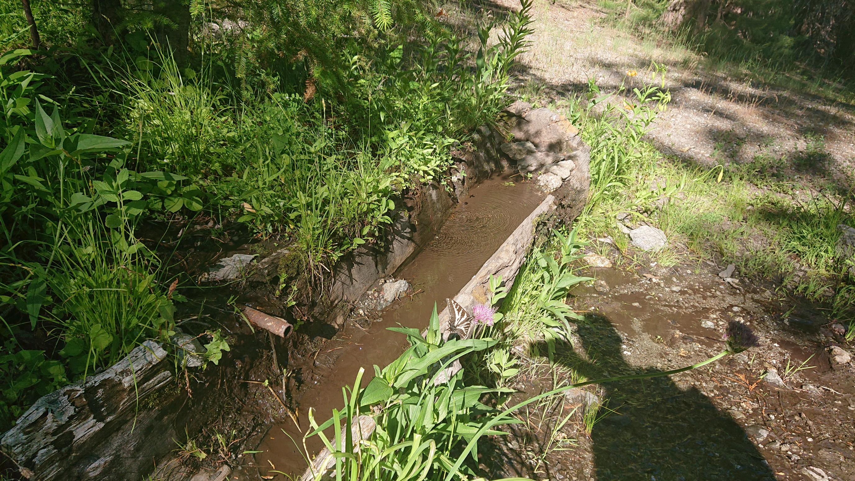
I arrived to this campsite early, but the section after this is burned so I didn’t want to continue and camp under dead burned trees. Plus, it had a nice spring.
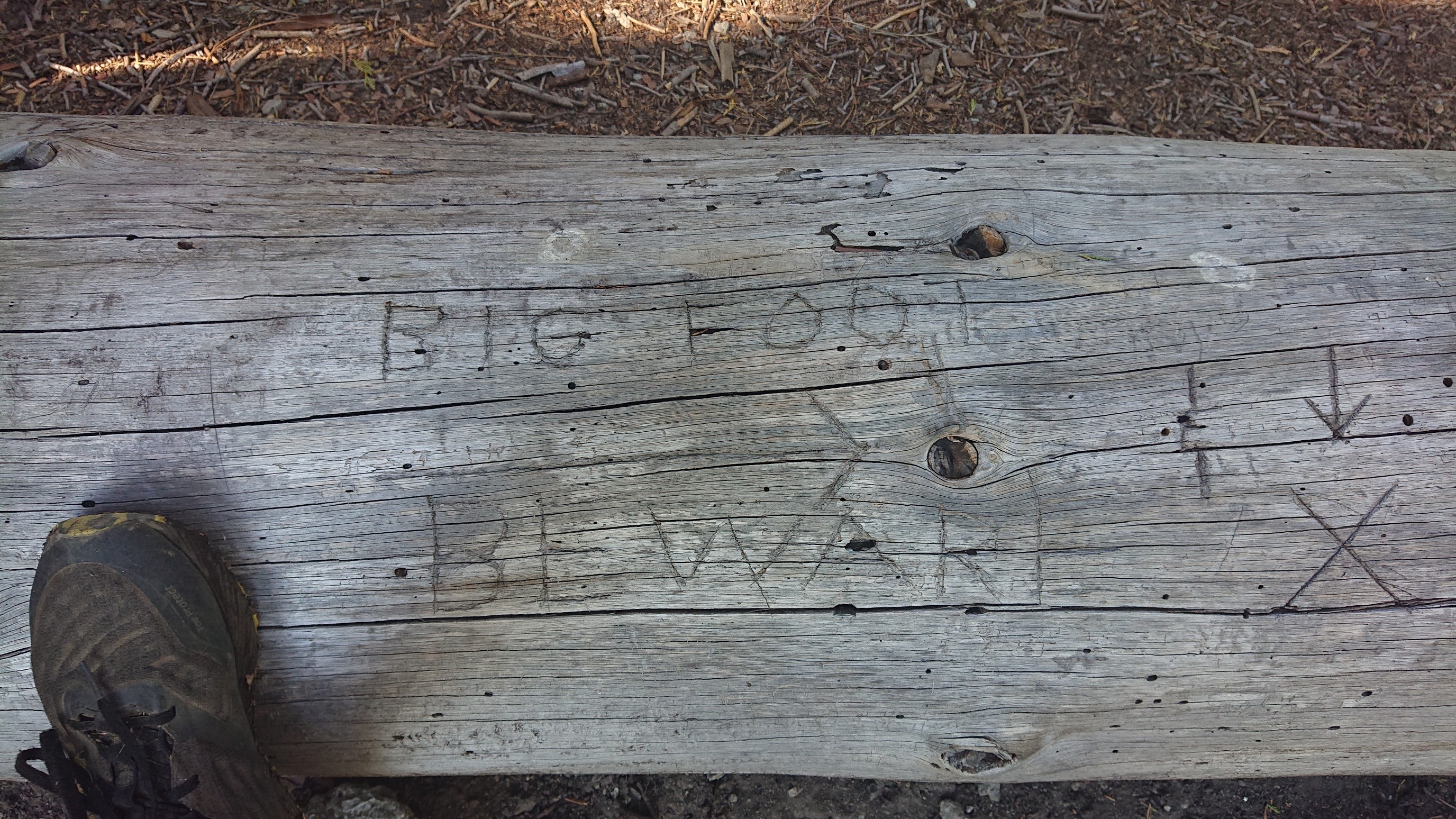
And it seemed befitting that my last night on the Bigfoot Trail had a warning about the creature.
I made my usual tuna and pasta dinner and watched the sunset. Tomorrow I’m done!