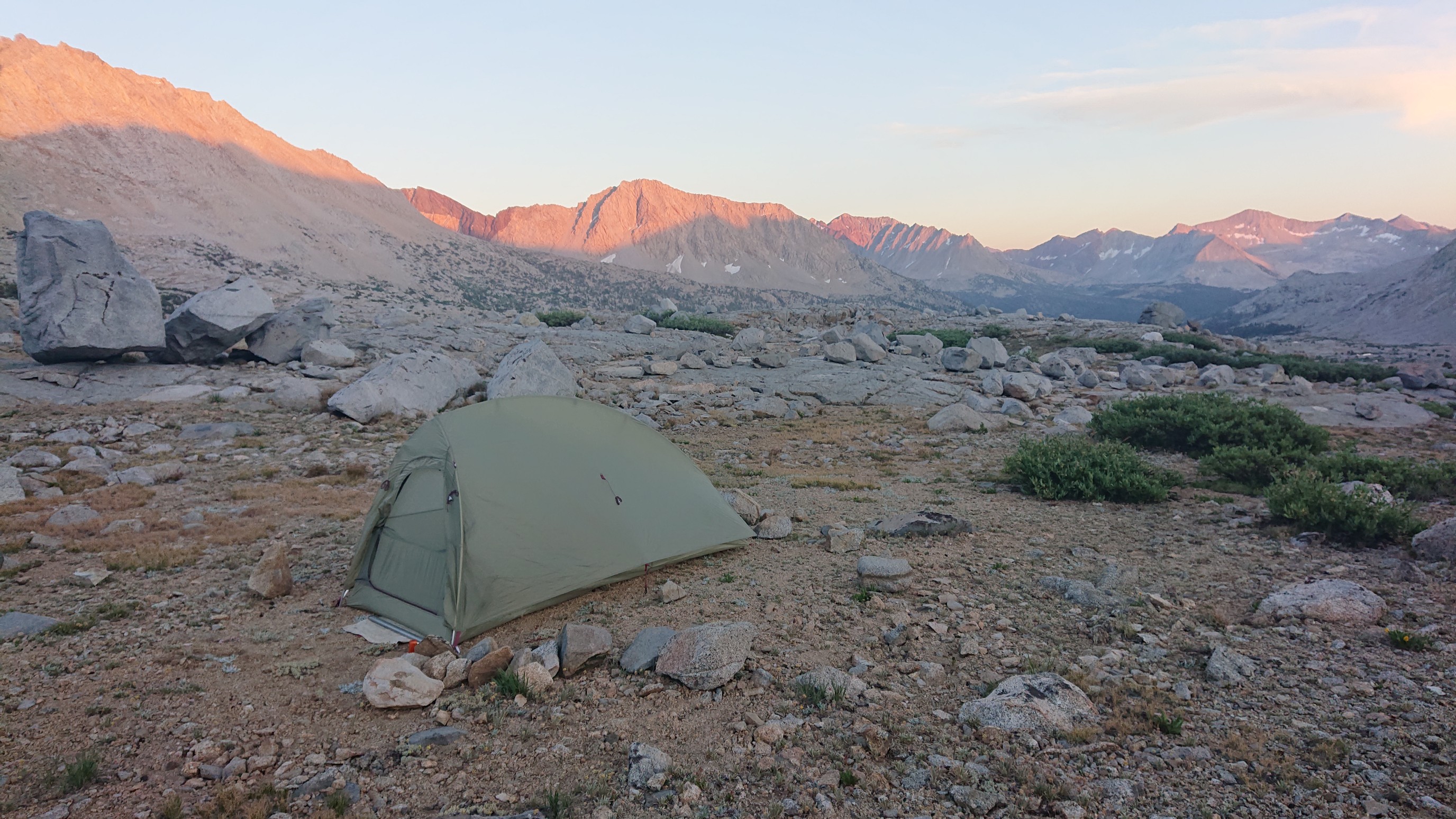
Wednesday July 15, 14.1mi/22.7km
Horseshoe Lakes (16.5/10,525ft) to SHR/JMT Junction (27.8/11,400ft) (CA) + 2.8mi side trip
The day started off early (6:30am) and easy through an open forest.
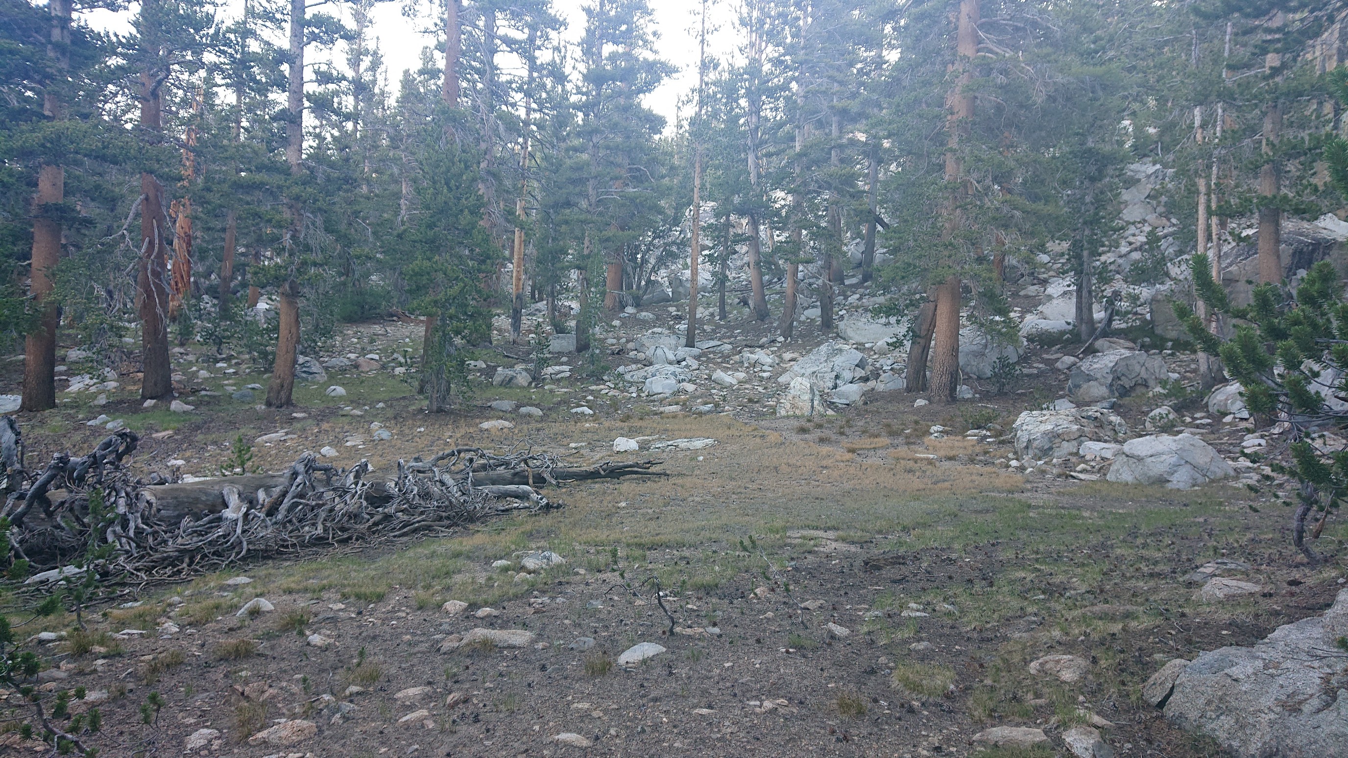
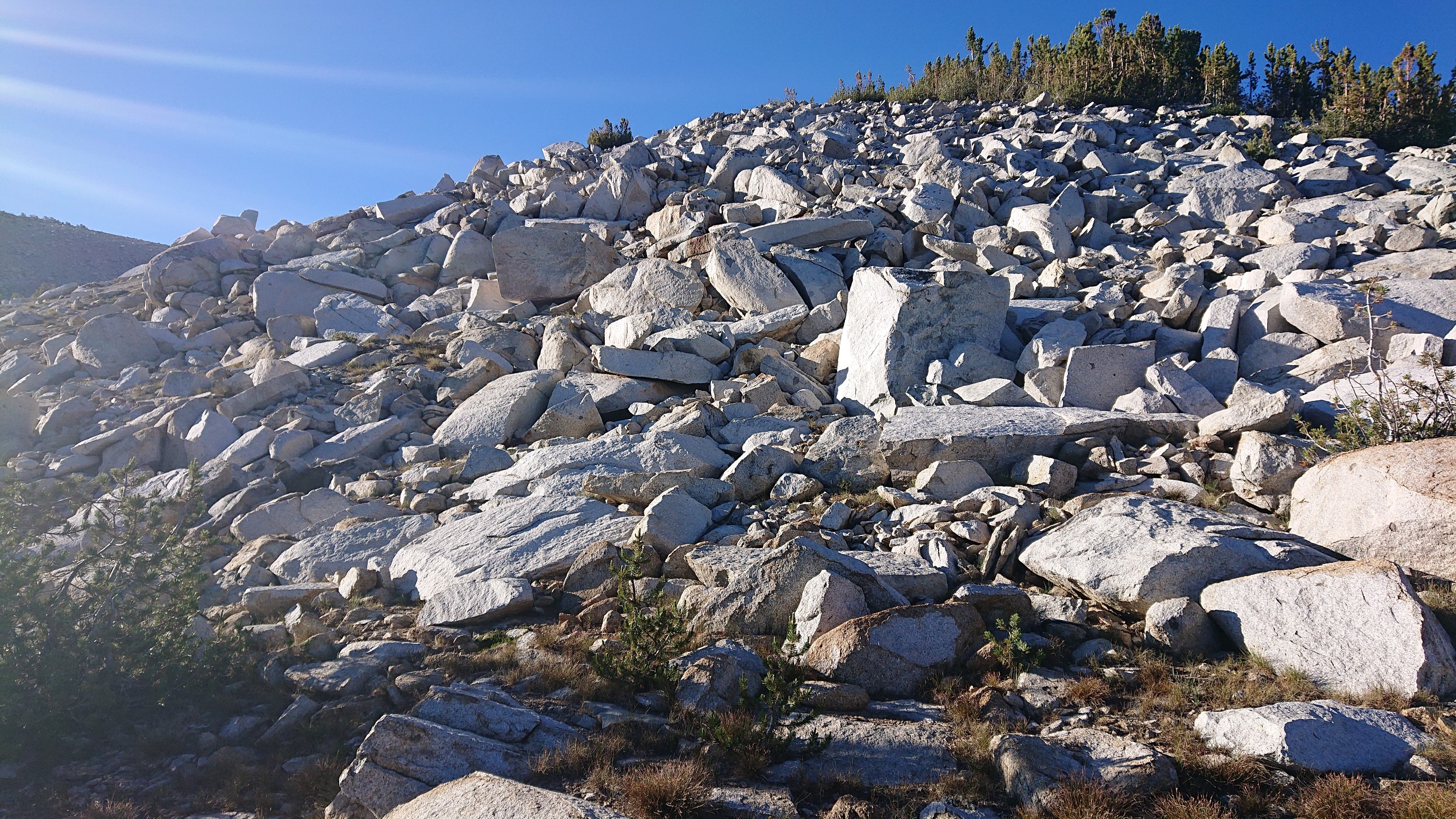
I contoured around a ridge until I got to Windy Pass. I saw people up on Windy Ridge, so I decided to climb it too. The first part of the climb was very talus-y.
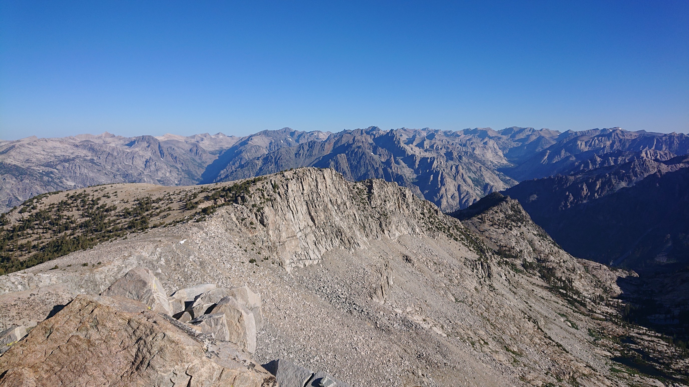
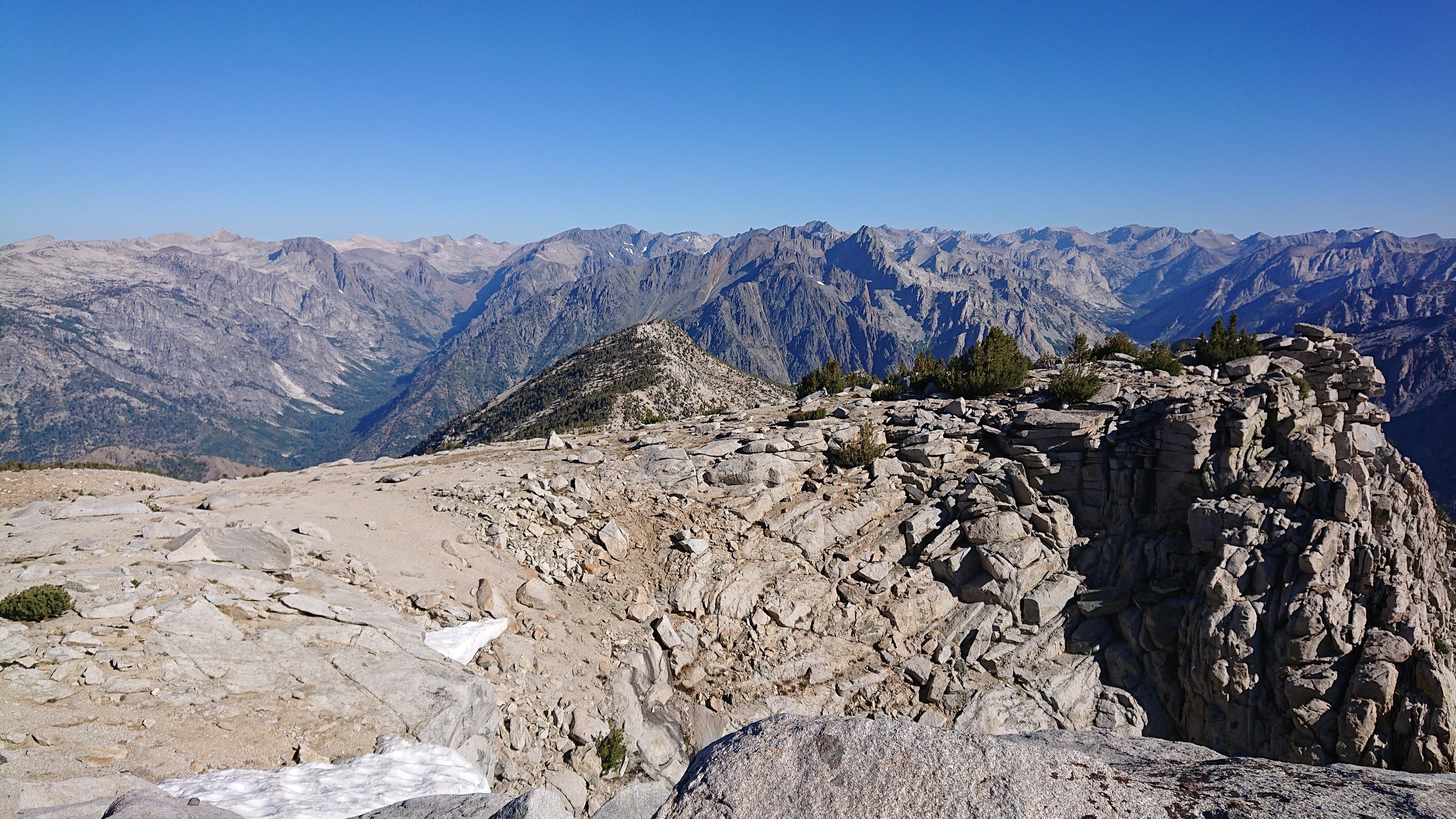
When I got to the top, it was indeed very windy. But the views to the north were intriguing. I think that canyon is the Middle fork King’s River.
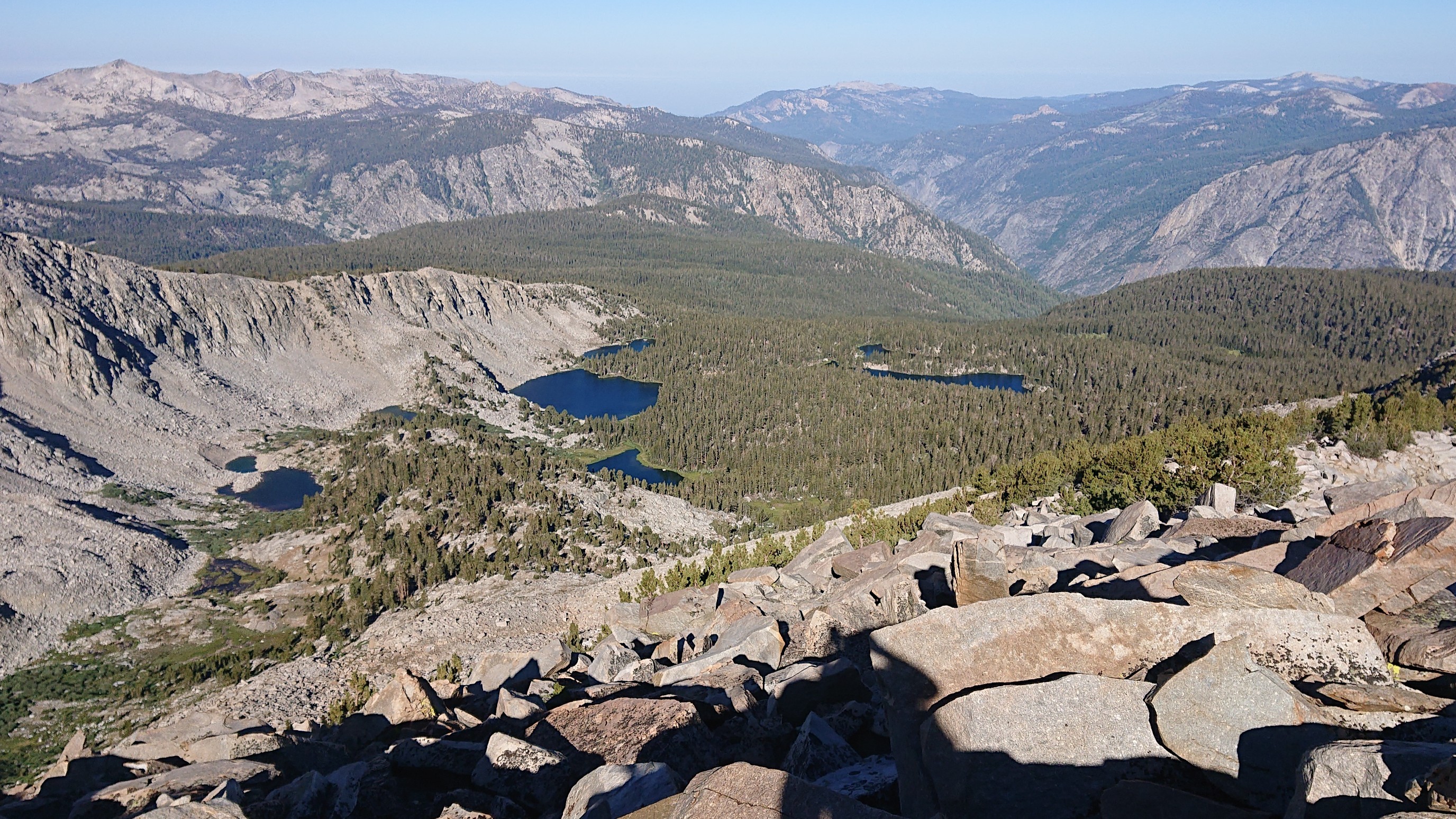
I could also see west down to the Horseshoe Lakes that I camped at last night.
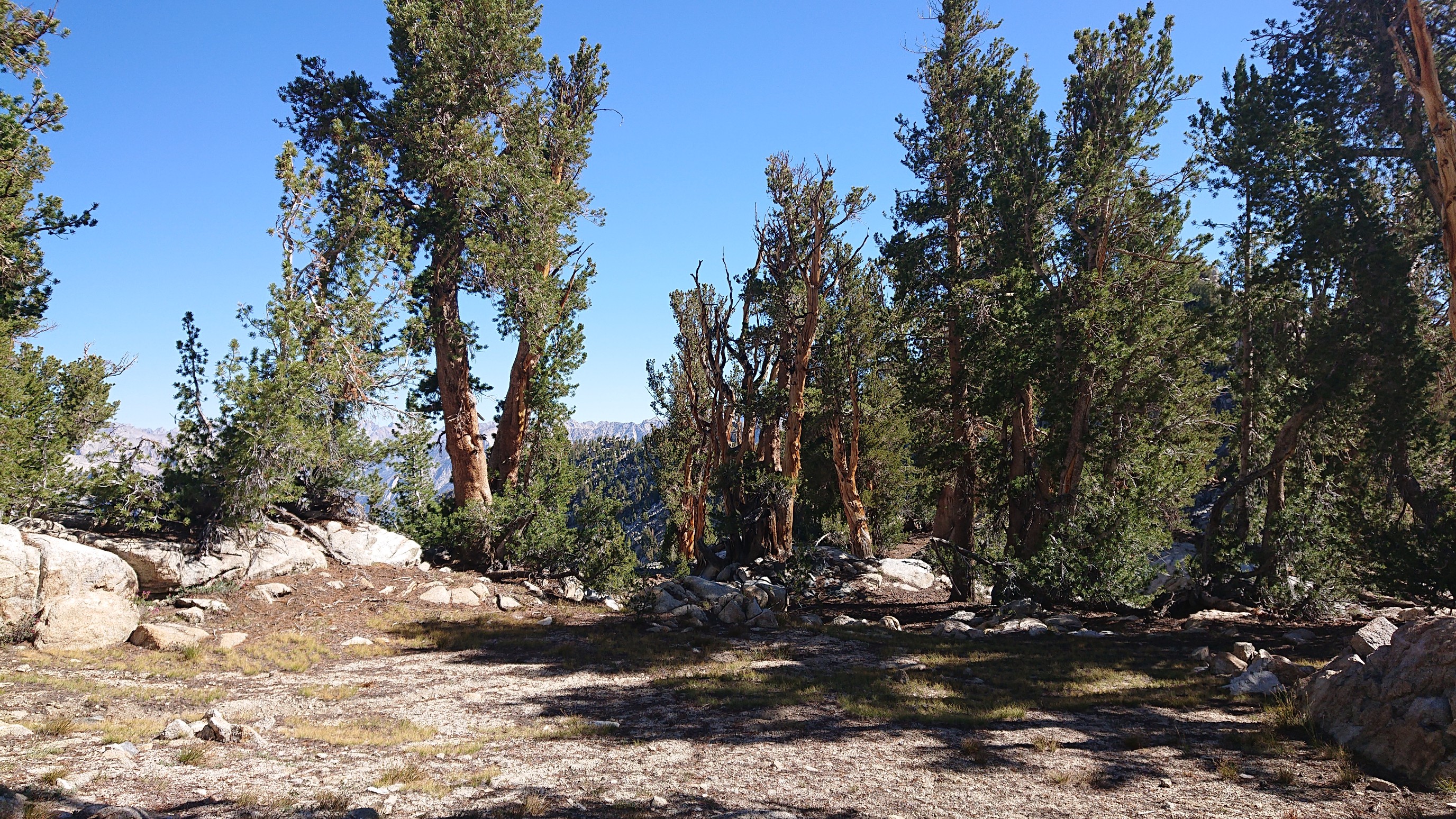
I made my way back down to the SHR and had a snack, what a fun 90 minute detour. I made the quick jaunt over to Gray Pass, which hardly felt like a pass at all.
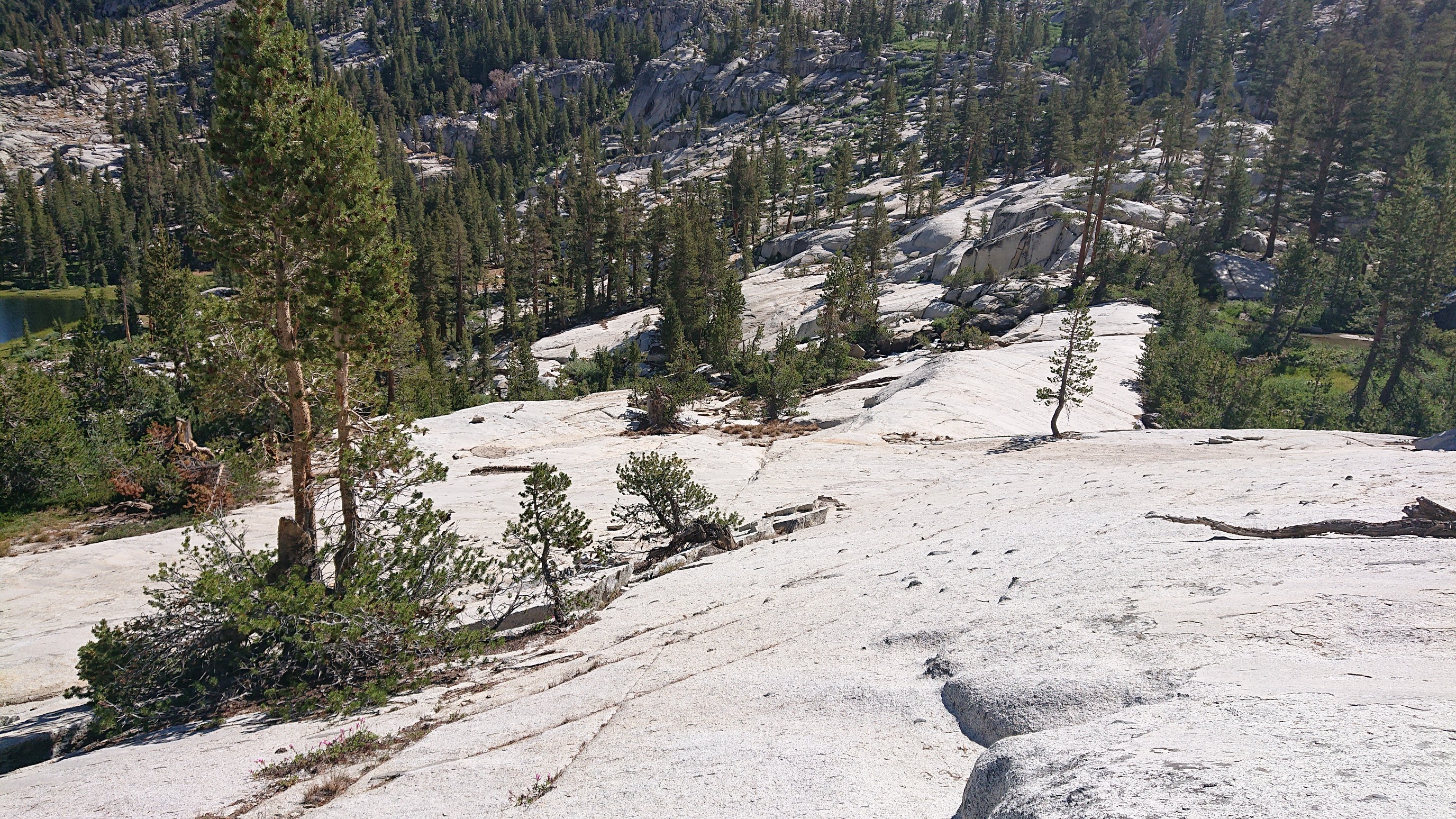
Then I had a fun descent on granite slabs almost 1000ft down to Cartridge creek.
The creek itself was flowing fast, but I found a dry crossing on rocks.
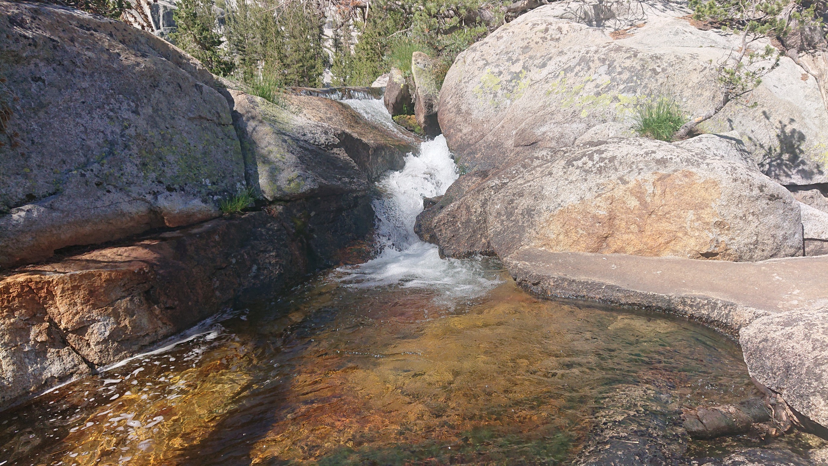
I re-climbed 1500ft/450m up to White Pass, mostly thru alpine meadows.
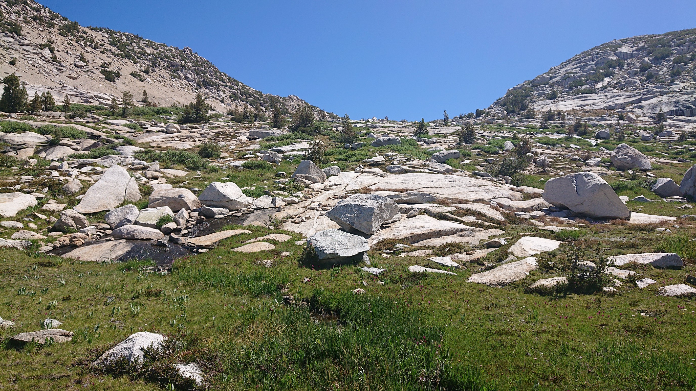
The flowers were all blooming at once!
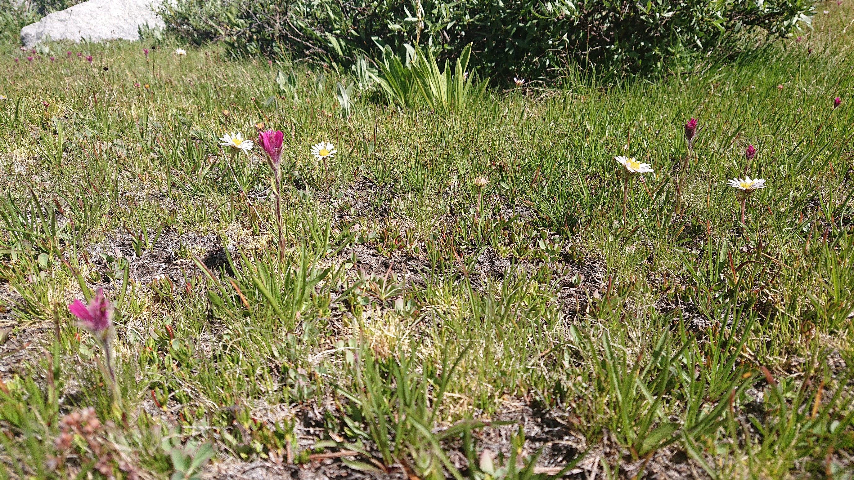
Near the top, a near little rock wall was springing forth with little waterfalls.
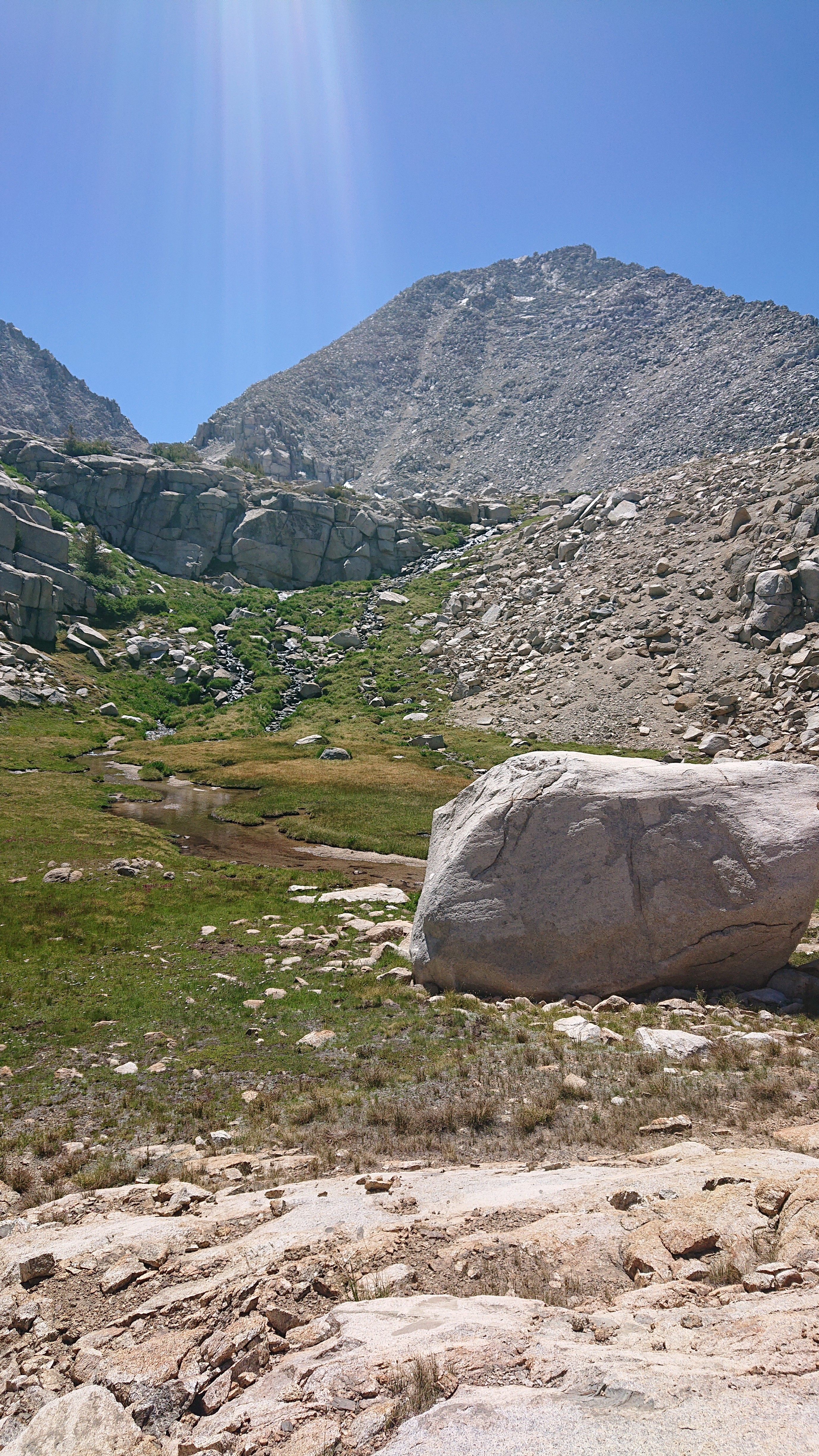
The view from the top of White Pass.
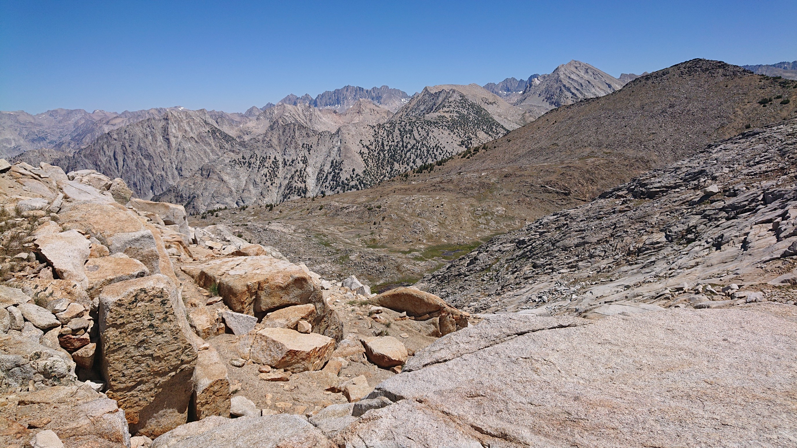
It was very windy on White Pass, so I decided to continue another mile to Red Pass. It was a quick walk over, with basically no elevation change. The occasional tiny snowfield made things interesting though.
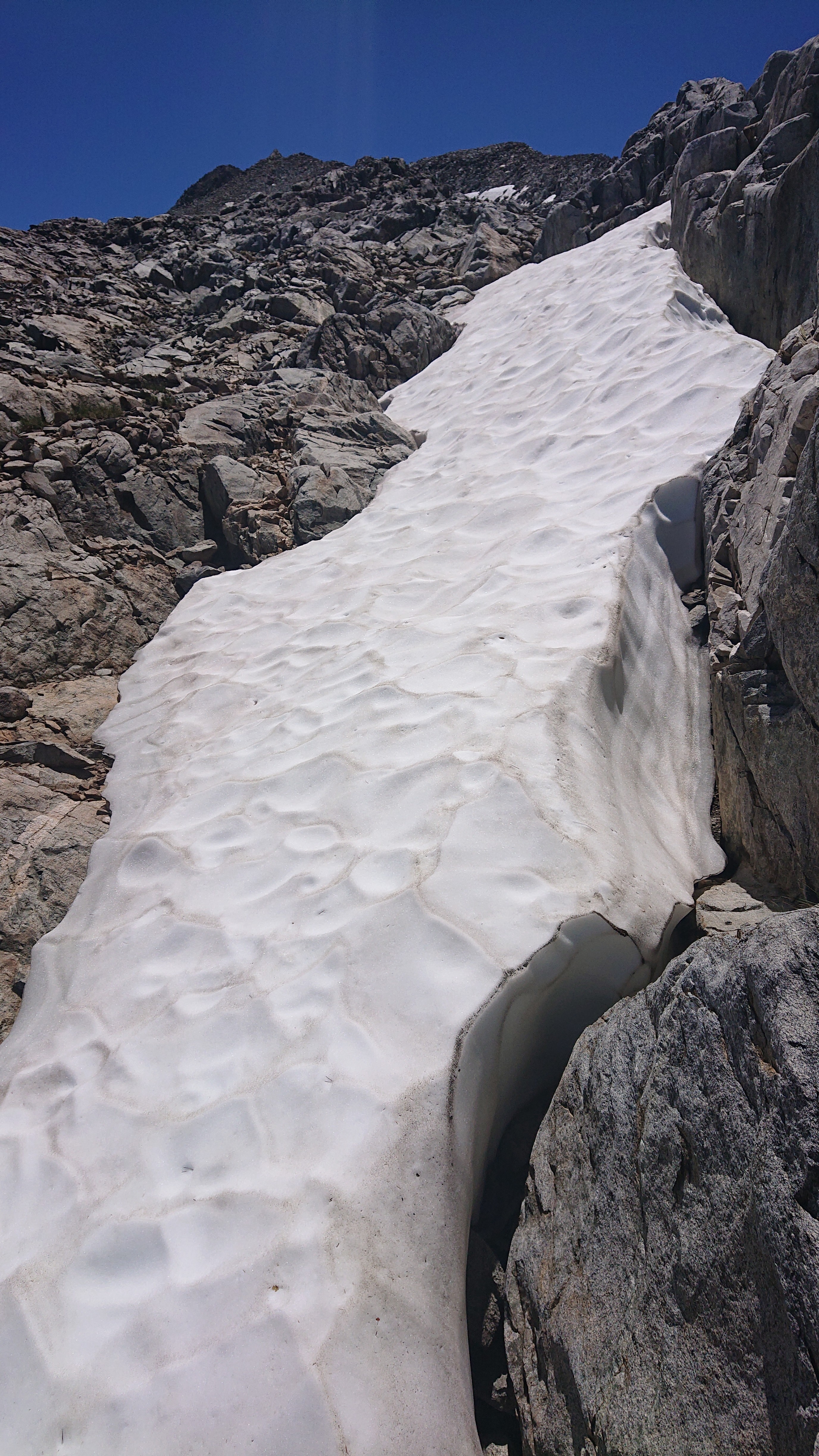
Looking ahead to Red Pass.
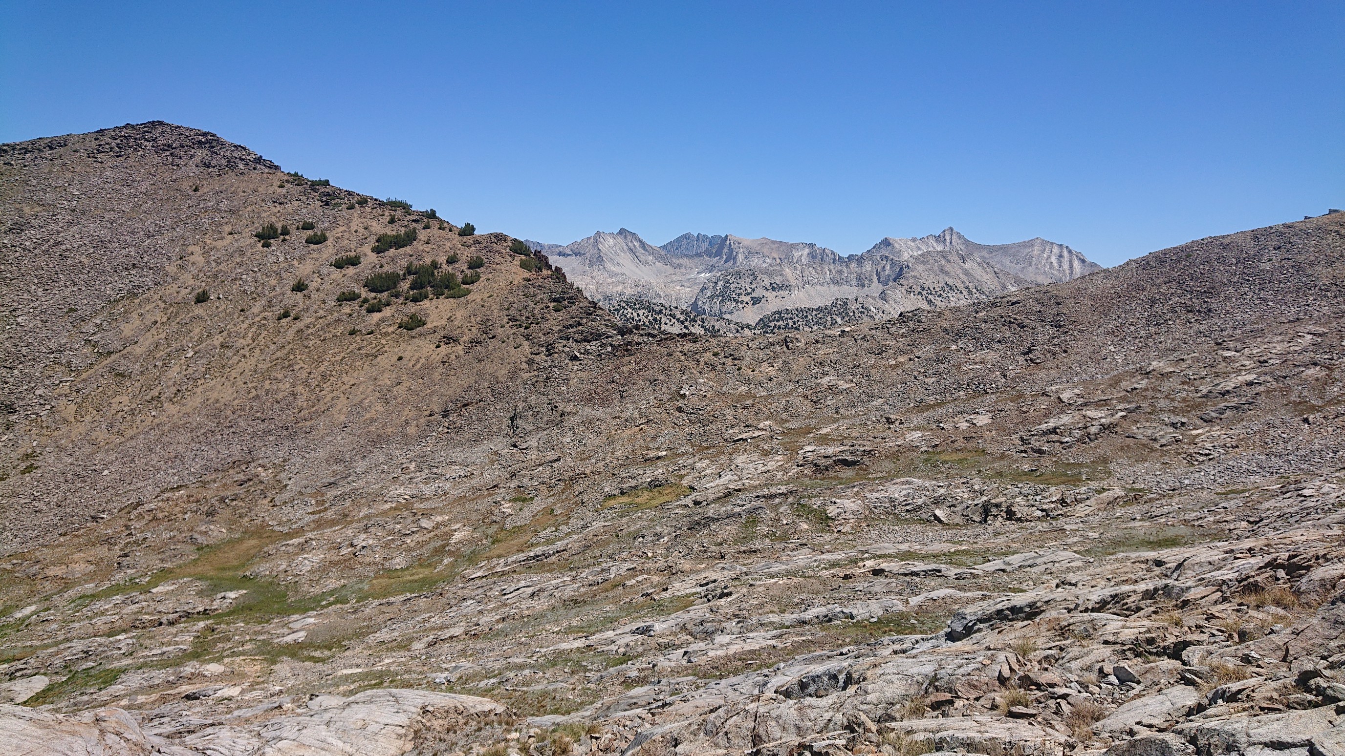
I got to Red Pass and had a huge wrap and some chocolates. Not a bad view for lunchtime.
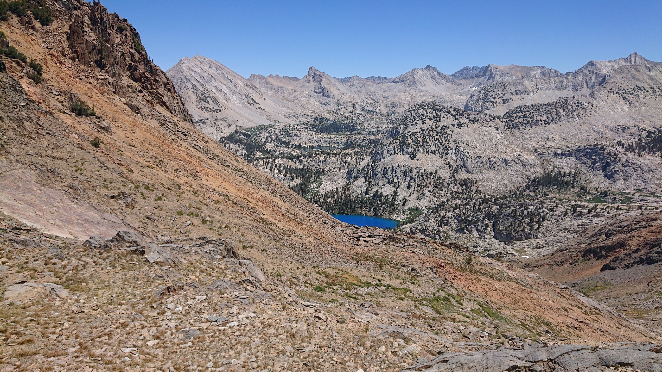
The rocks change color from red to the grey/granite in the distance.
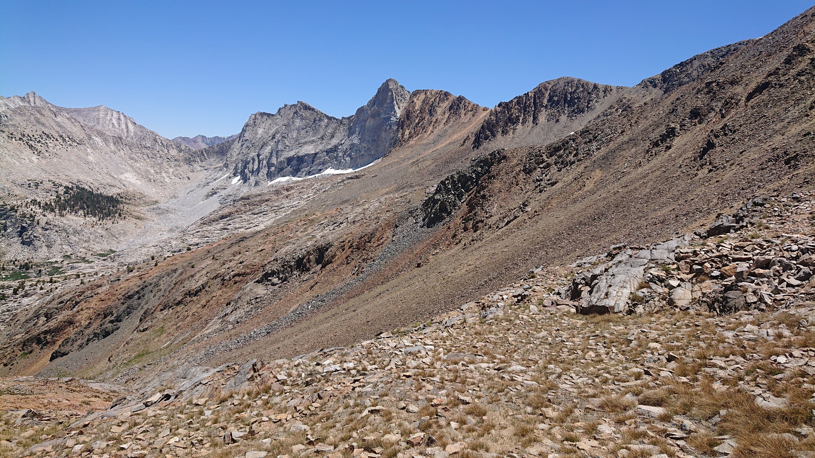
I descended White Pass, down 1500ft/450m to Marion Lake, passing more interesting snow formations along the way. A creek flows under this one!
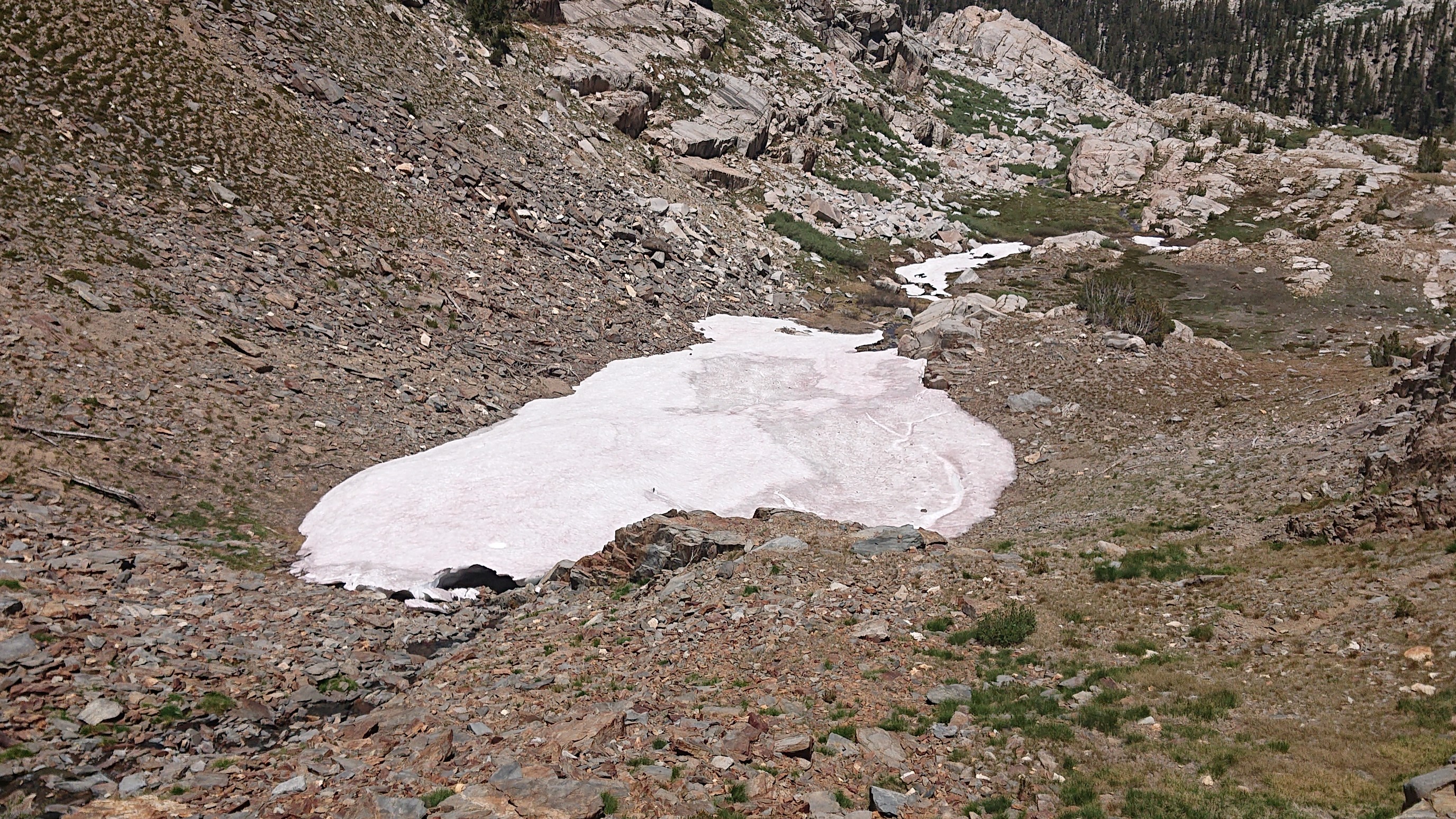
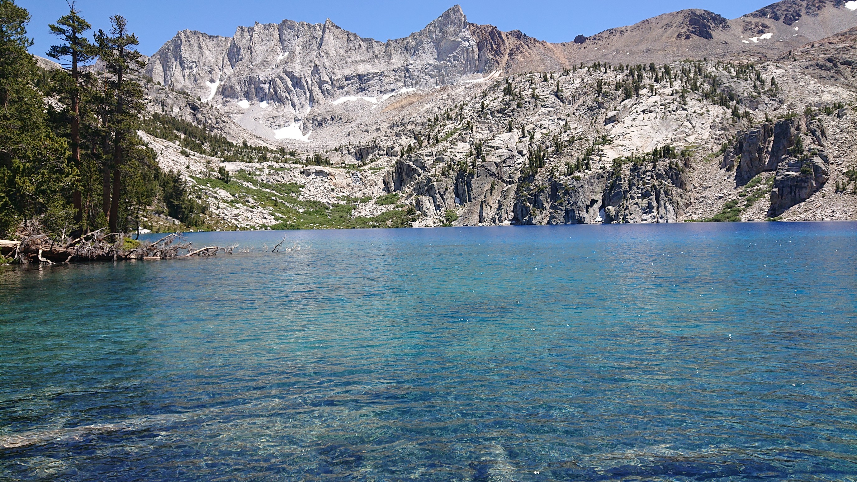
The lake was intensely blue.
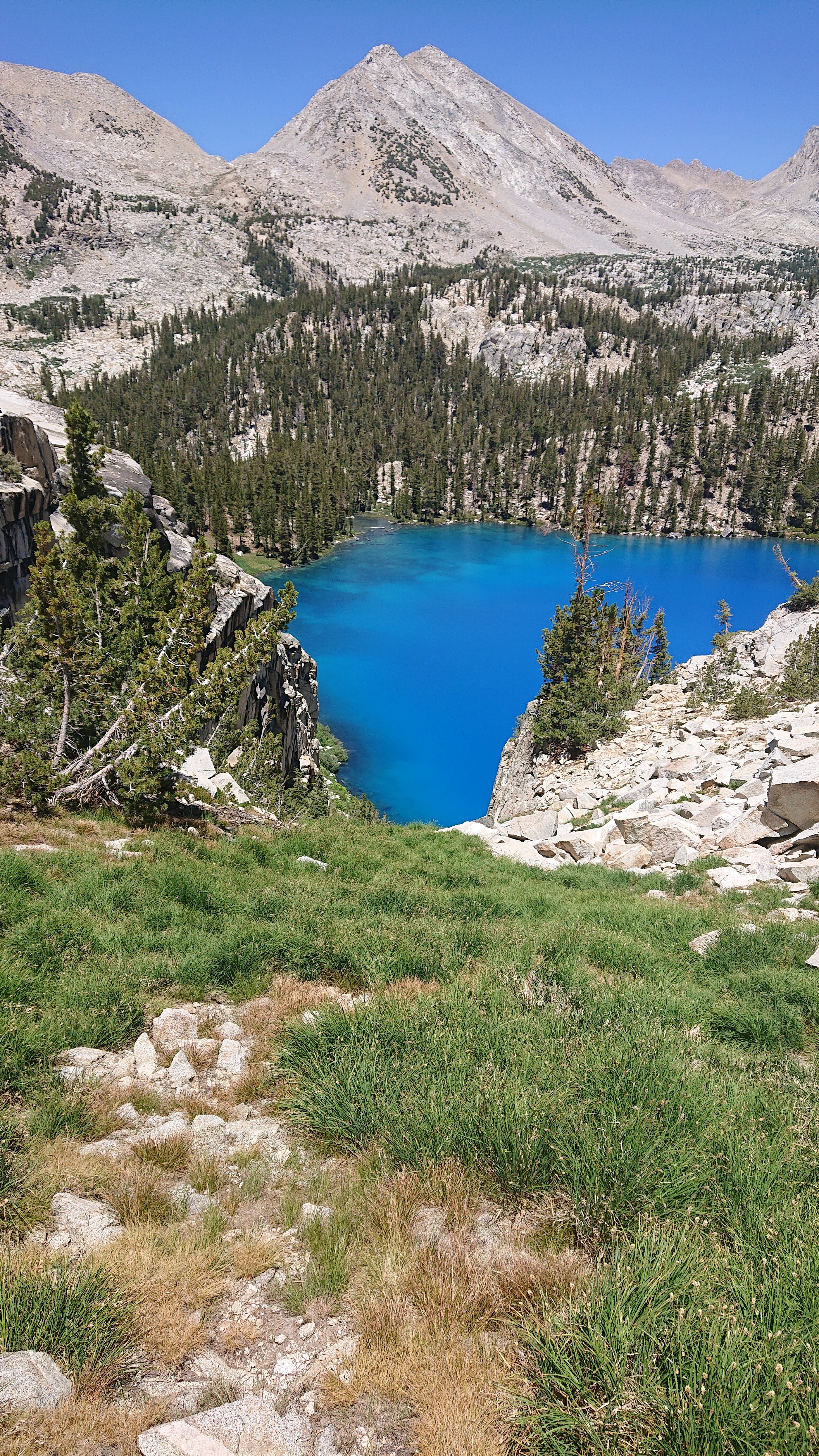
The final part of the descent was quite steep and talus-y, but it went.
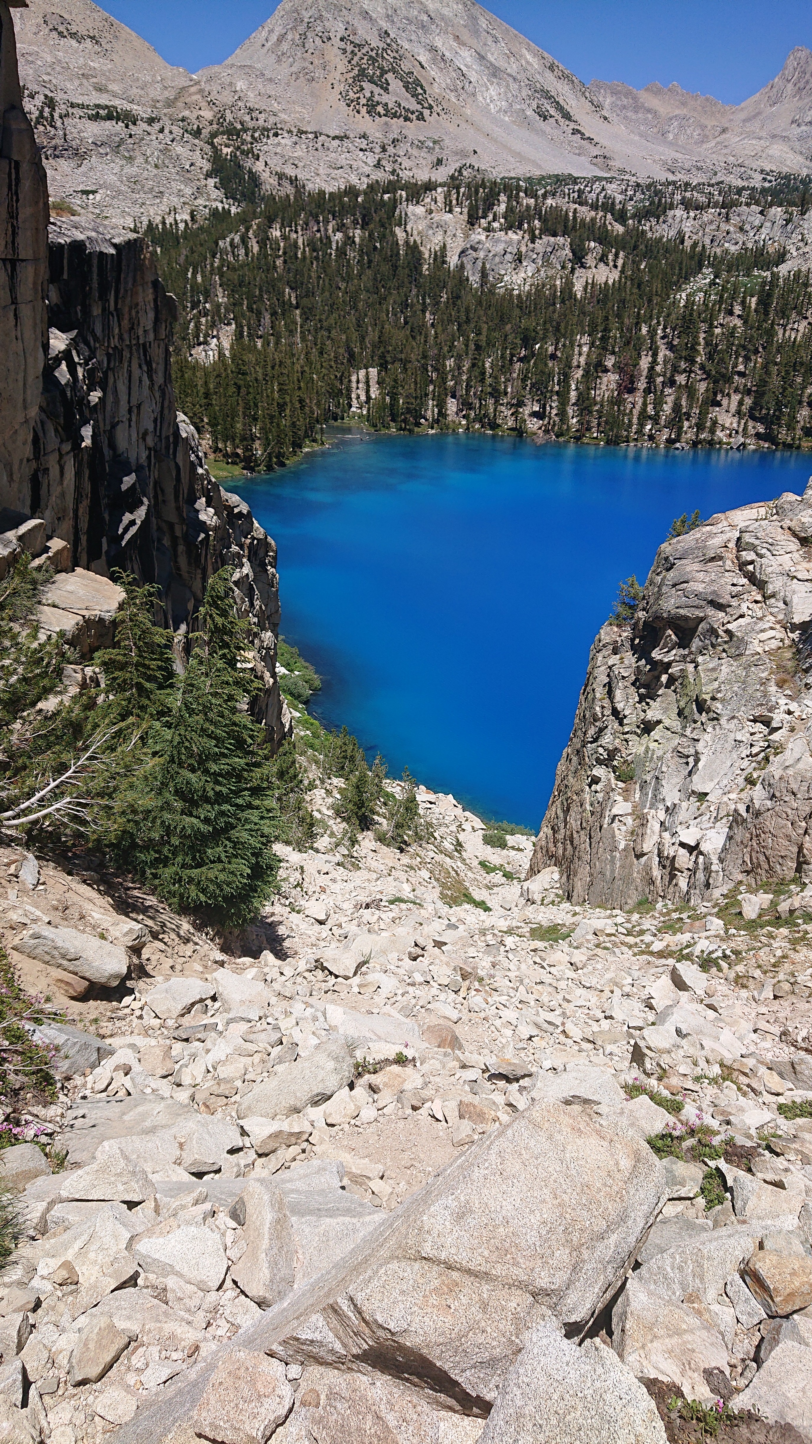
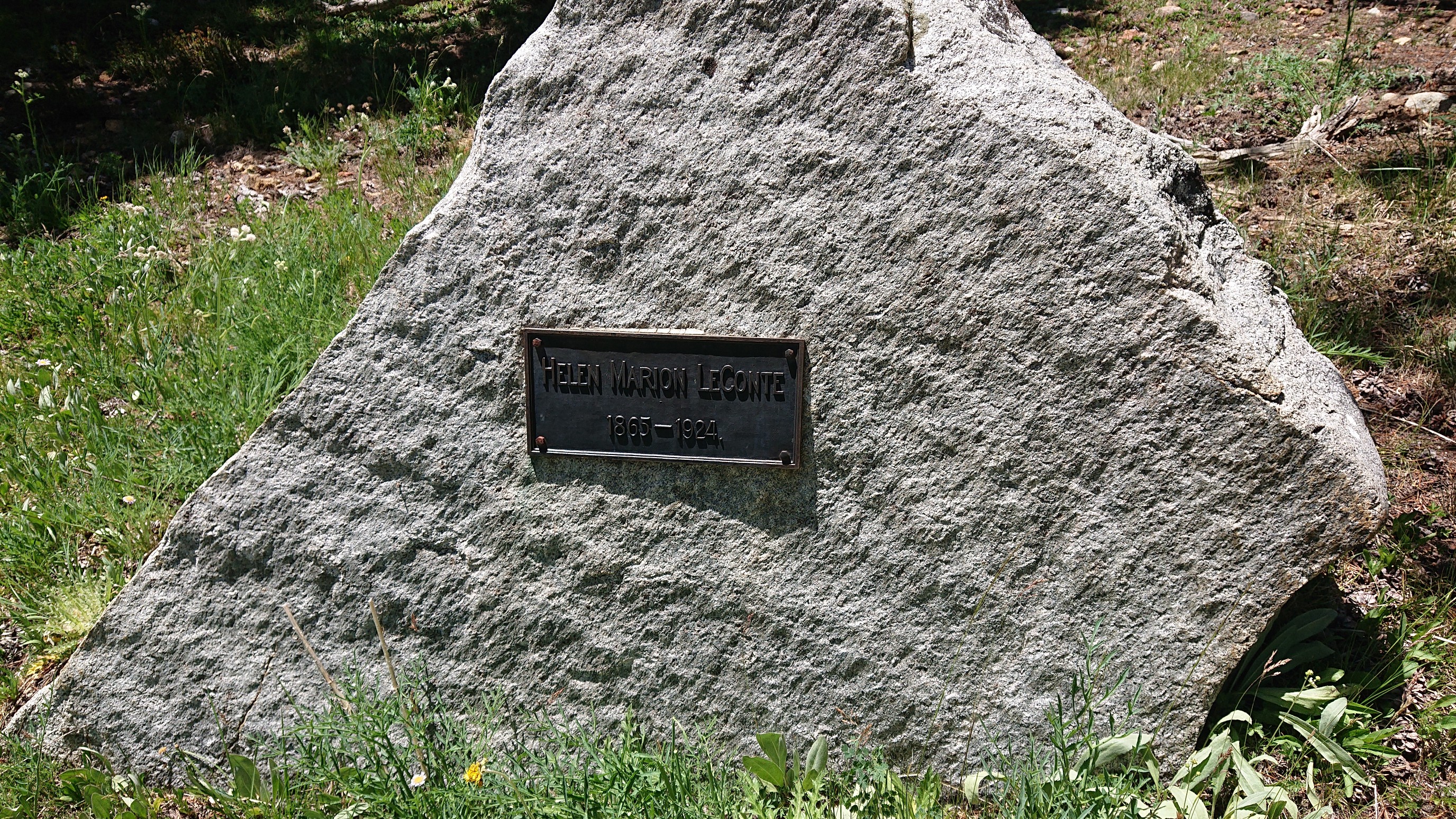
The random plaque at the lake proclaimed it was named for Helen Marion Leconte.
Of course, I went for a swim in the ridiculously blue lake.
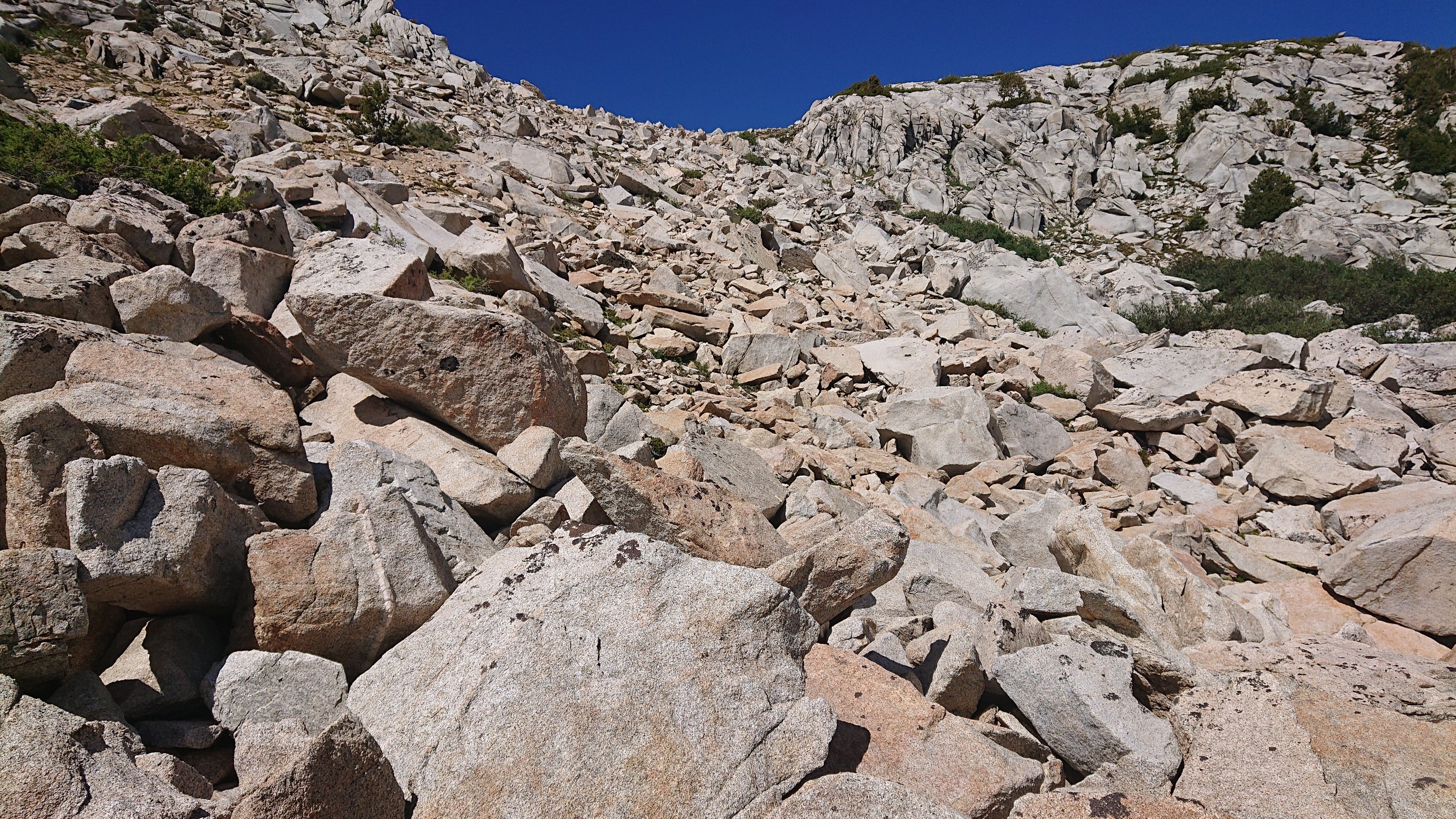
The climb up to the next pass started with… talus!
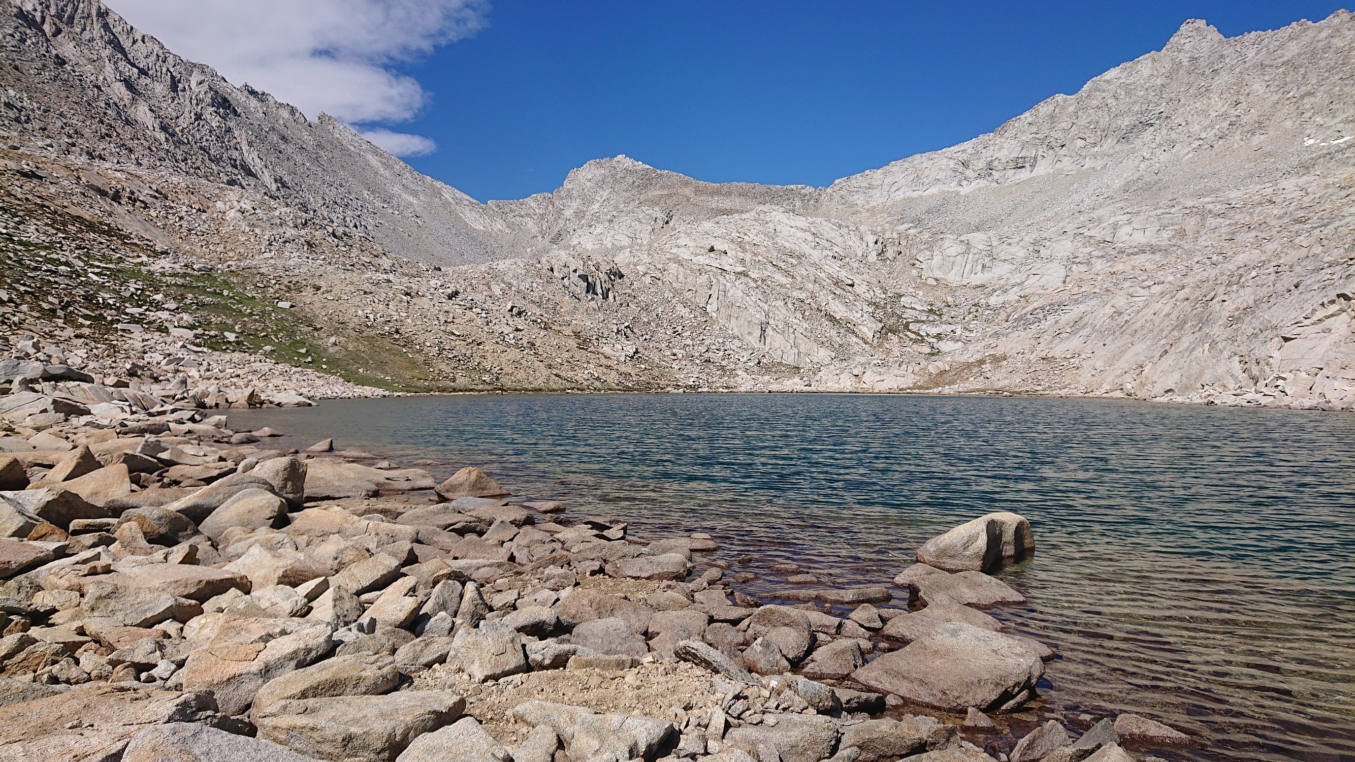
There were more tiny lakes along the climb to Frozen Lake Pass.
The final climb to the pass was very slow on unstable talus. But I finally made it up. Looking back to where I climbed all afternoon:
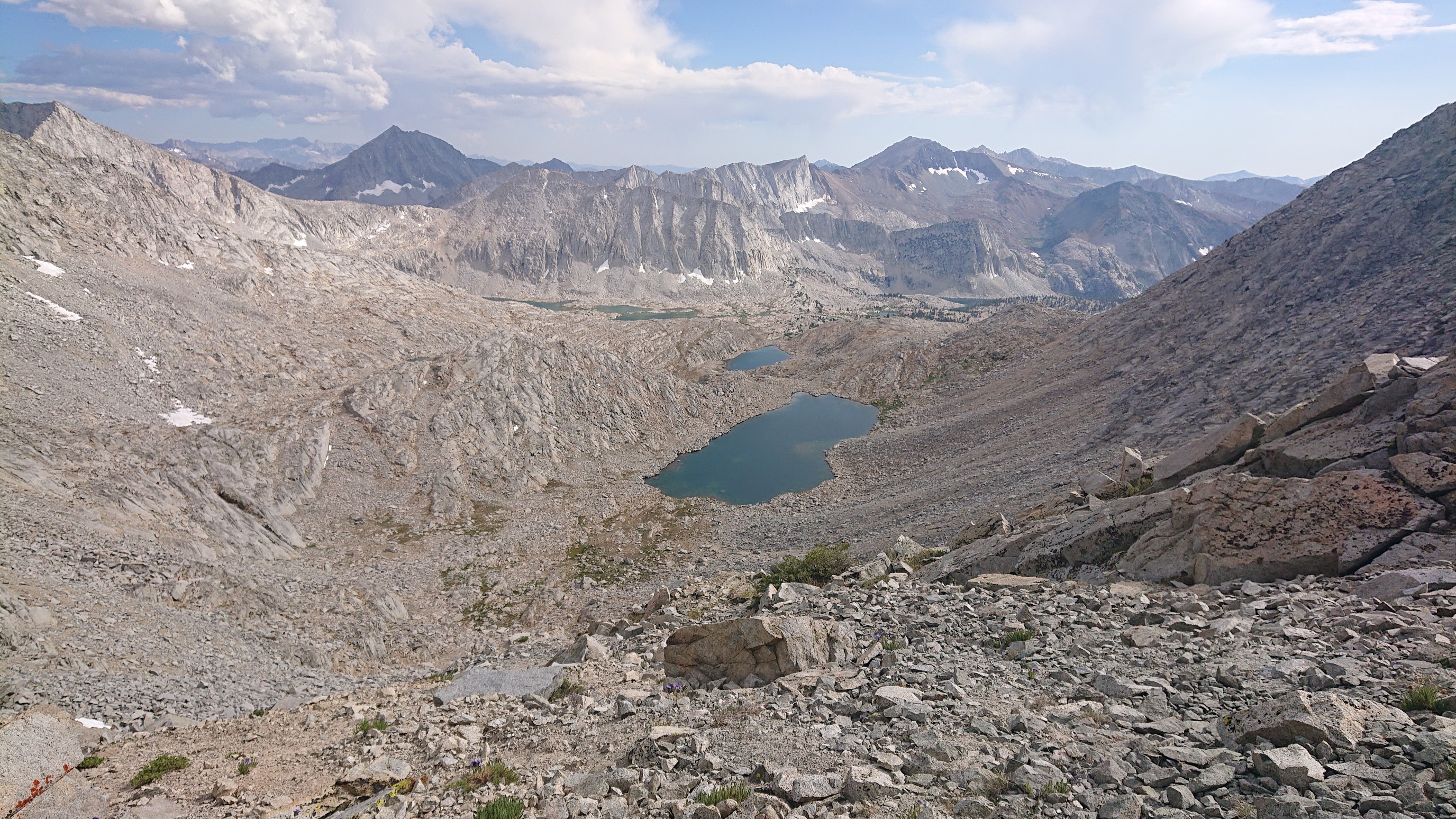
Looking ahead, down to Frozen Lake:
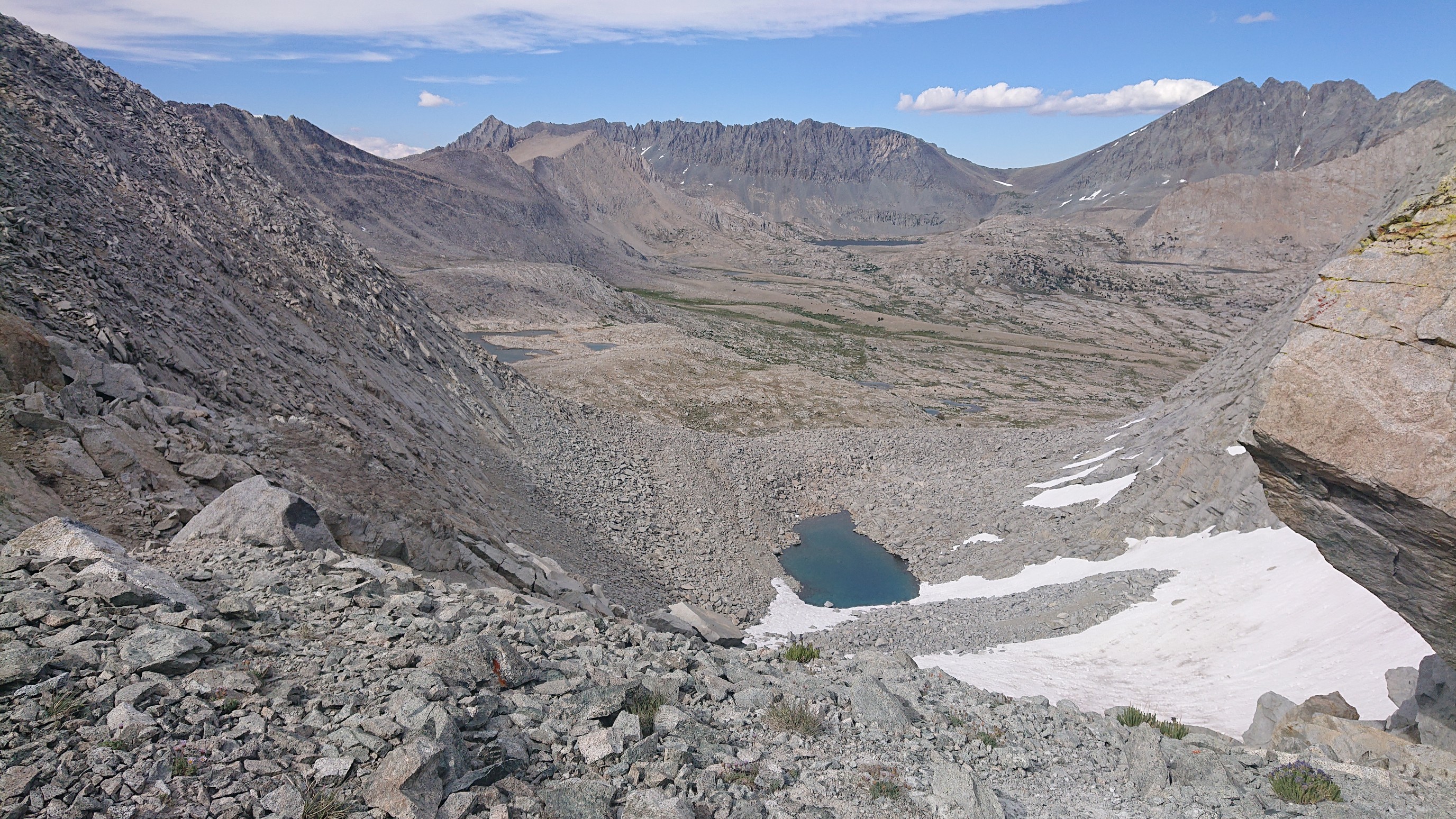
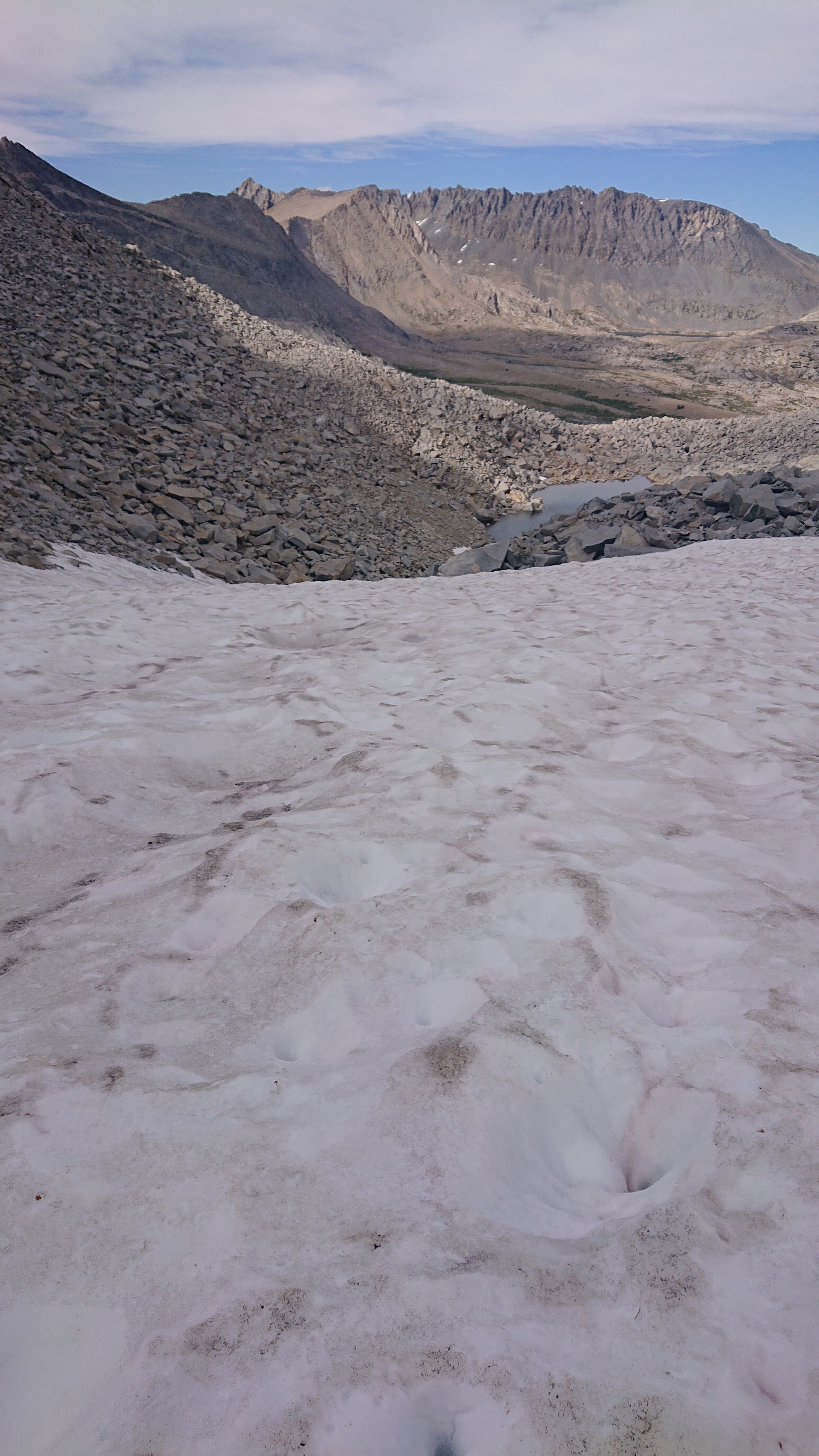
The initial descent was super steep on loose rocky sand and not fun, but then I got to a snowfield and glissaded down, wheee!
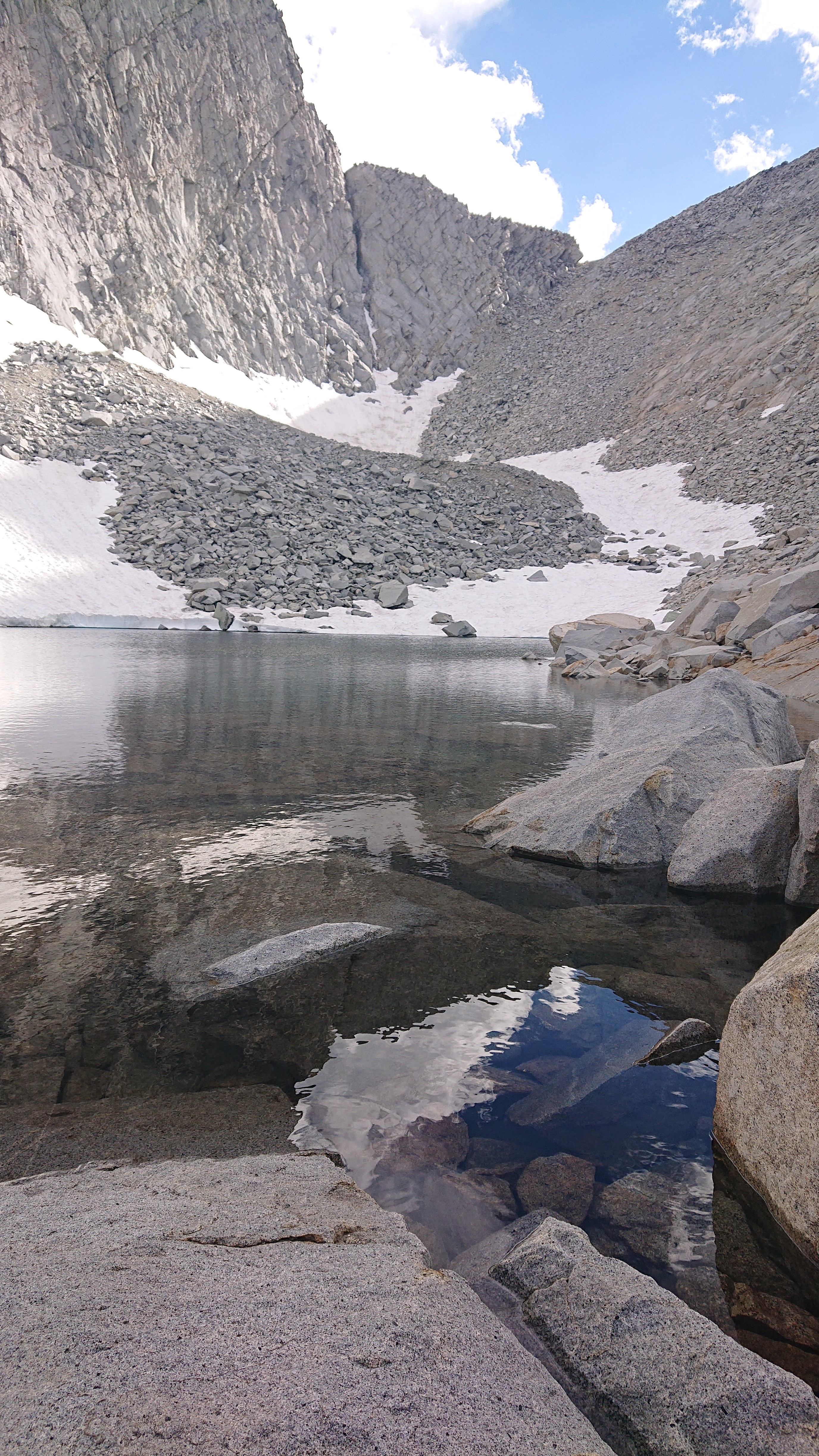
I took a snack break at Frozen Lake, you can see the pass (notch on the right) I just came thru.
After another hour of easy walking, I came to an actual trail! This was the JMT/PCT, and it looked so smooth compared to my talus route!
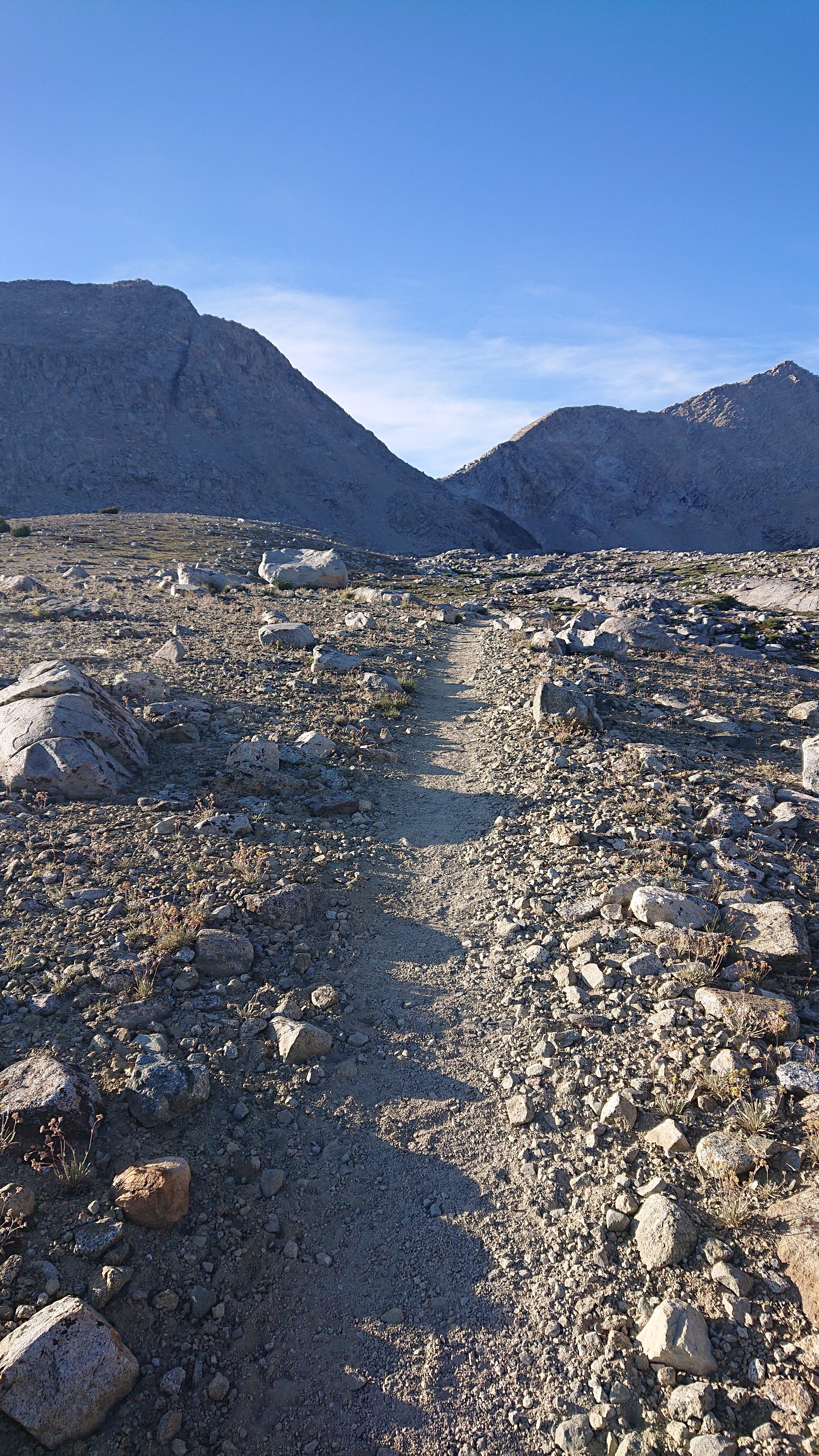
I setup camp near the trail, and even saw two southbound hikers, presumably JMT hikers (too early for PCT sobos). What a long day!
