Sunday July 19, 14.1mi/22.7km
French Canyon at Merriam Jct (72.4/10,010ft) to Lower Mills Creek Lake (86.5/10,860ft) (CA)
It was a surprisingly easy hike up the 1000ft/300m to Merriam Lake, it started on a faint trail, then became easy xc.
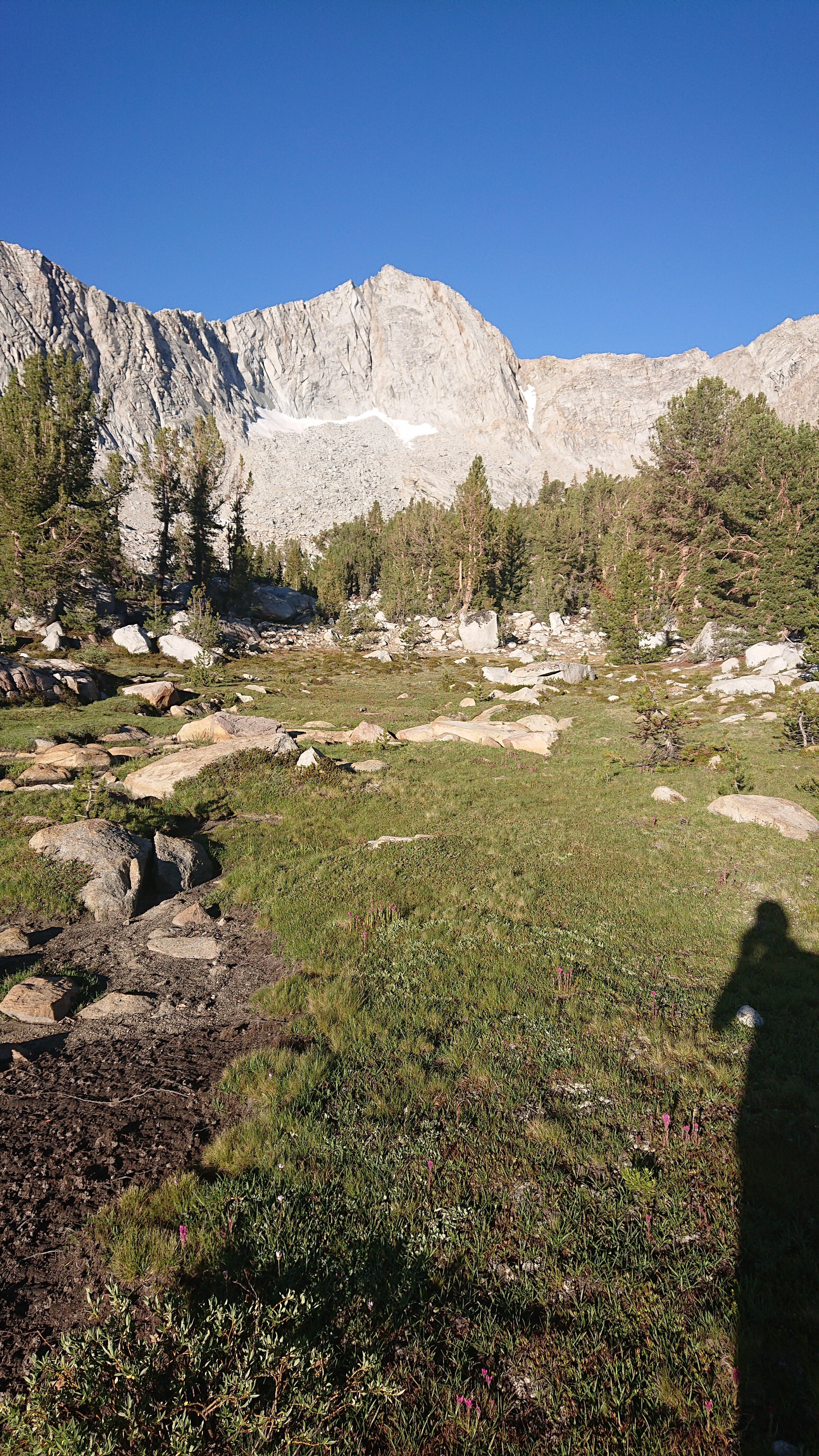
Looking north past Merriam Lake.
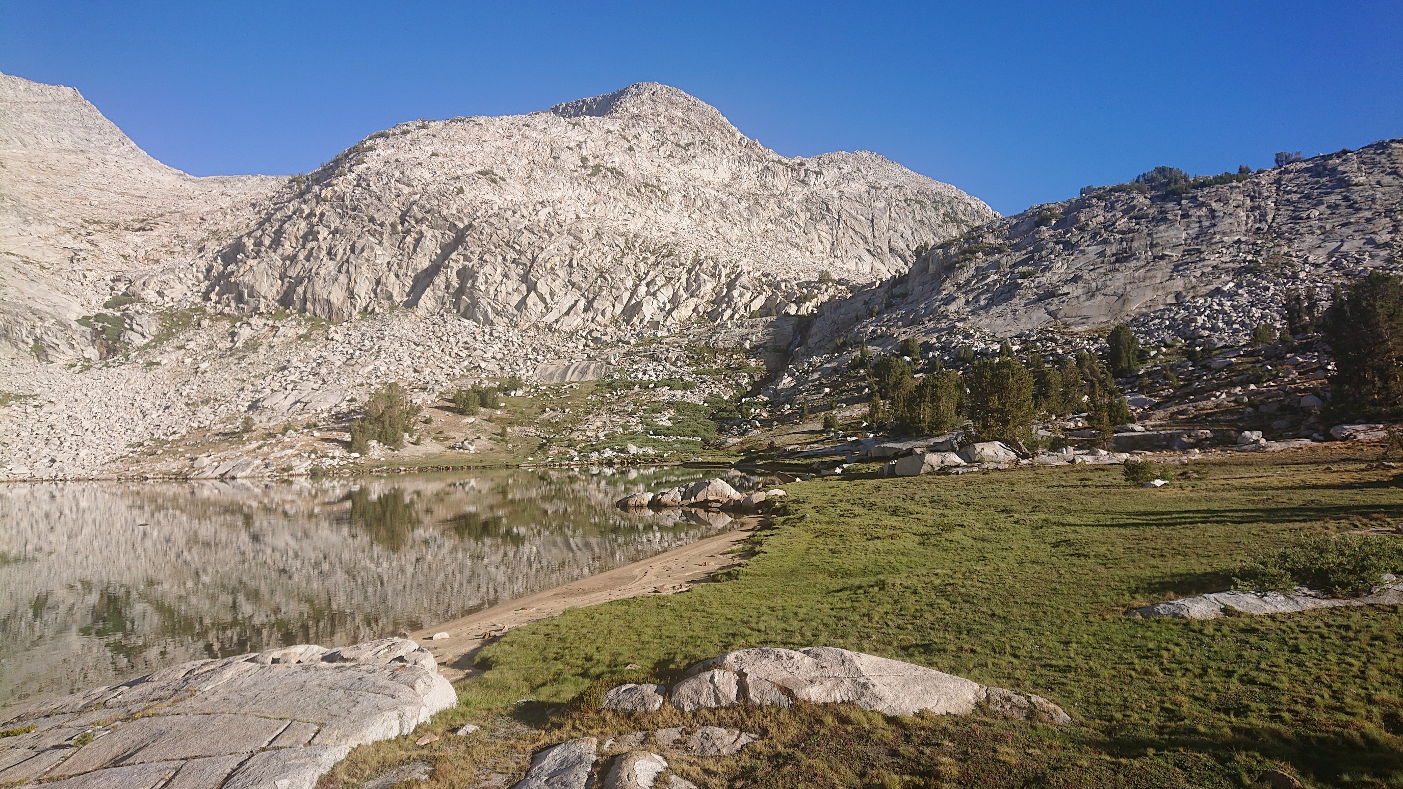
The shores had crazy patterns in the sand.
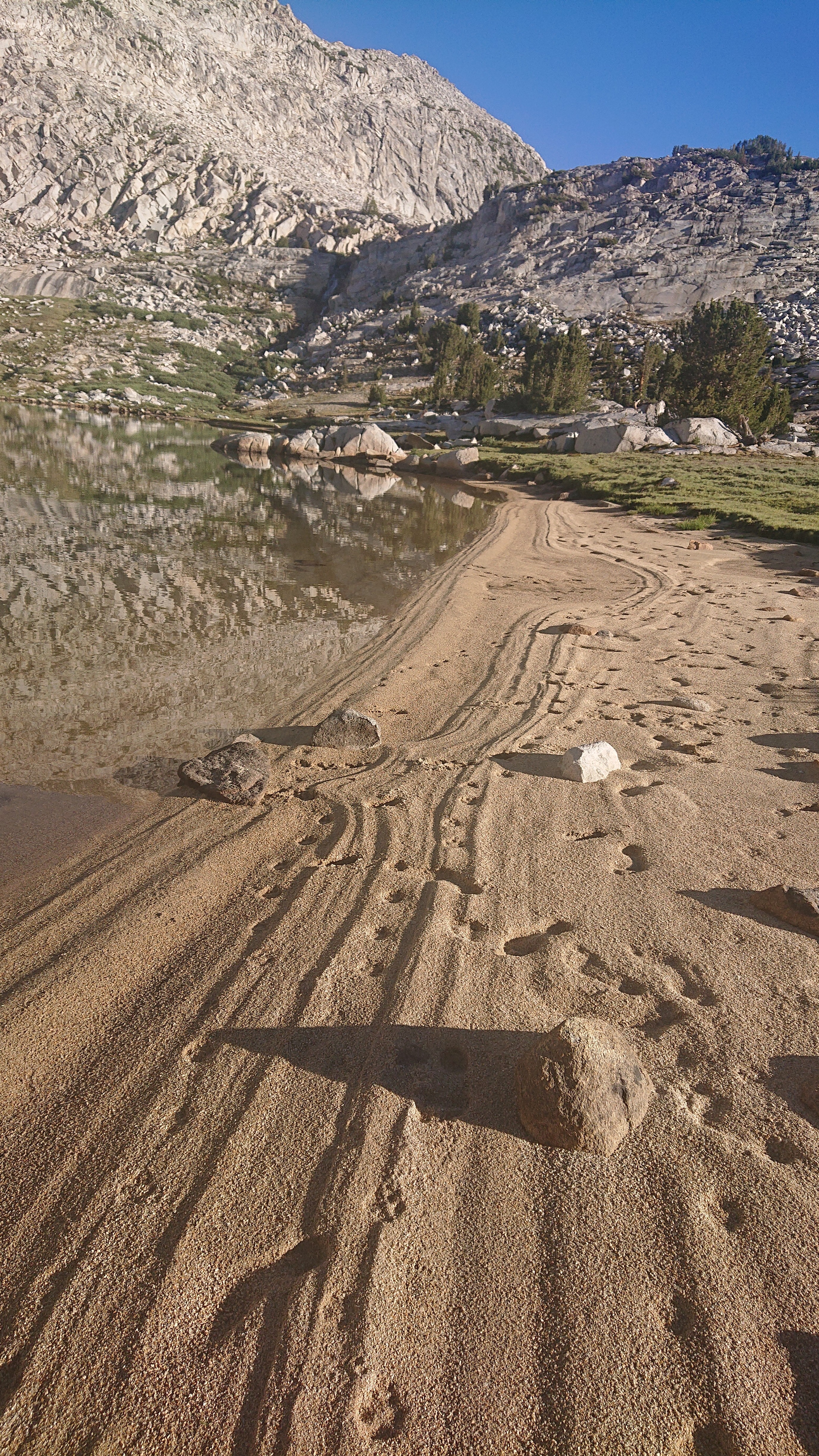
The view looking behind me over the lake was like a postcard.
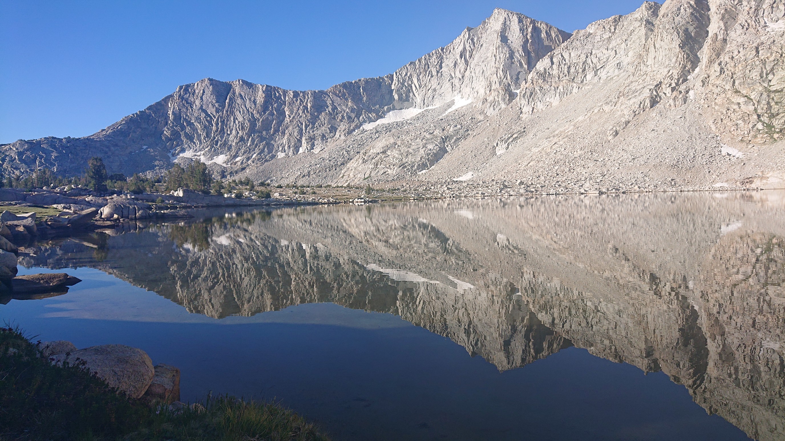
It was only 8am and too early for swimming, so I continued climbing. The notch on the right (below the two jagged spires) is Feather Pass, my objective for the morning.
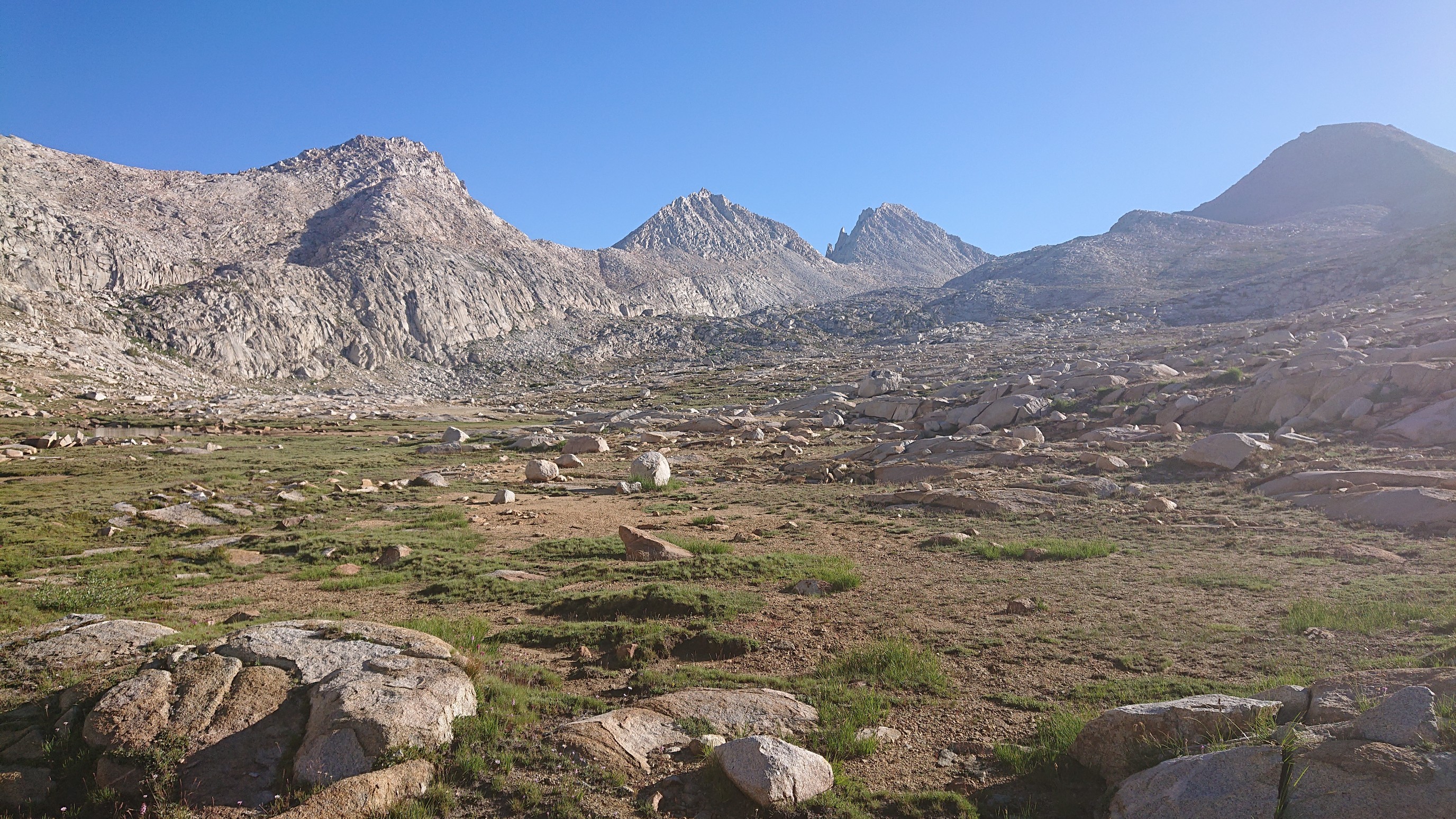
There were more tiny alpine lakes along the way, and with a better view of the pass.
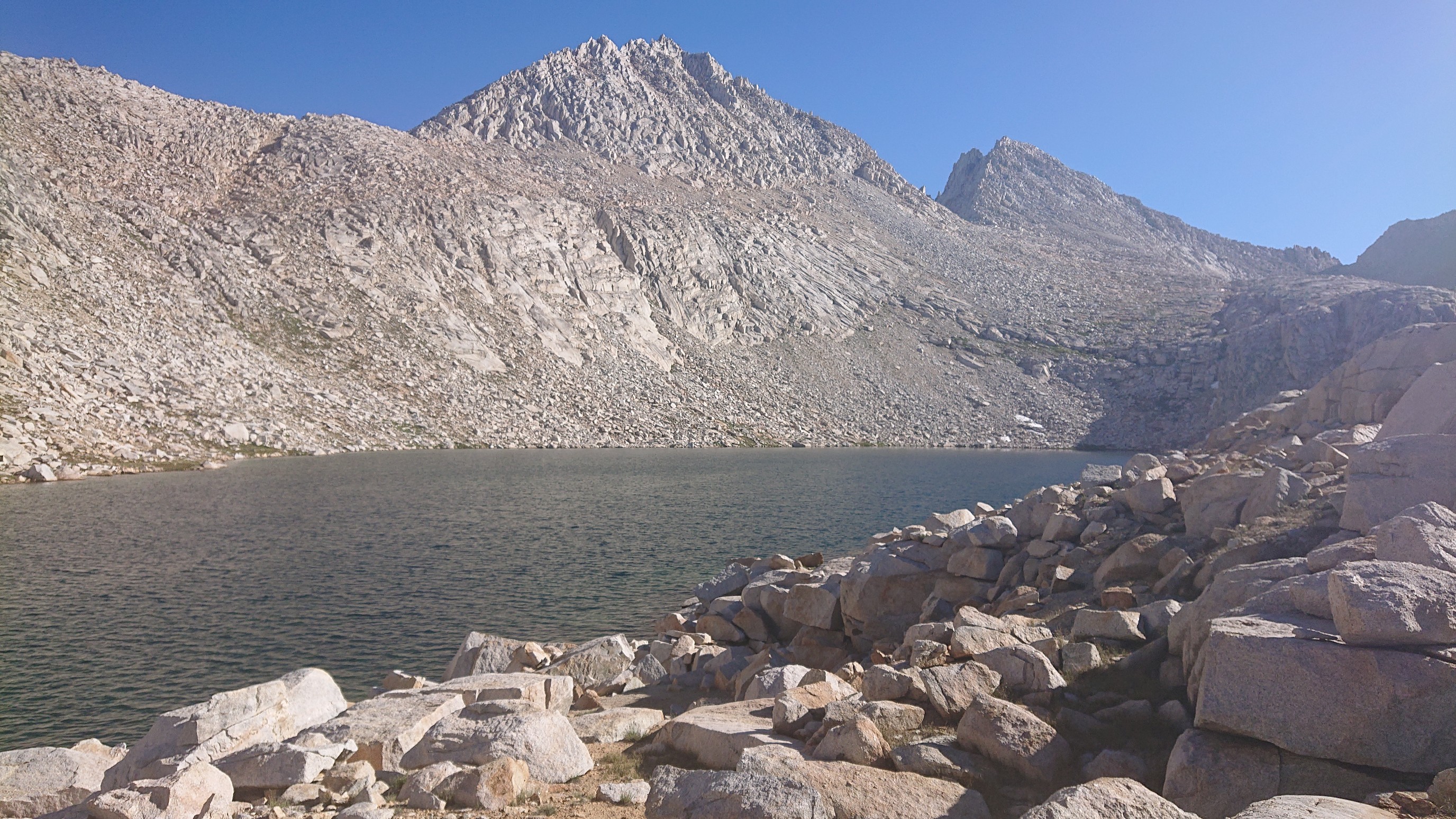
There was even some snow left, hiding against the north face of a cliff.
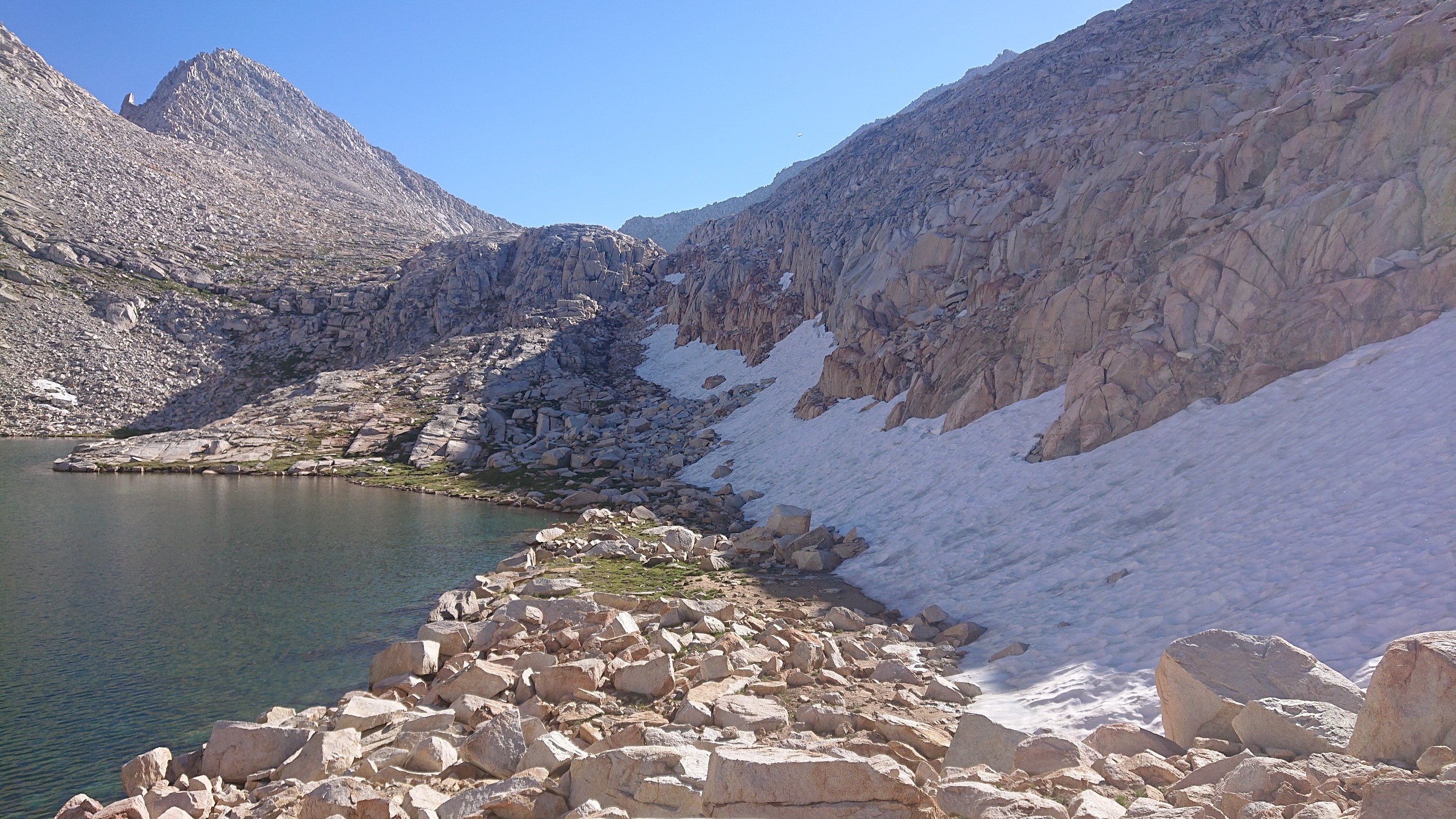
The final climb to the pass was on easy slabs, it’s like a slanted sidewalk.
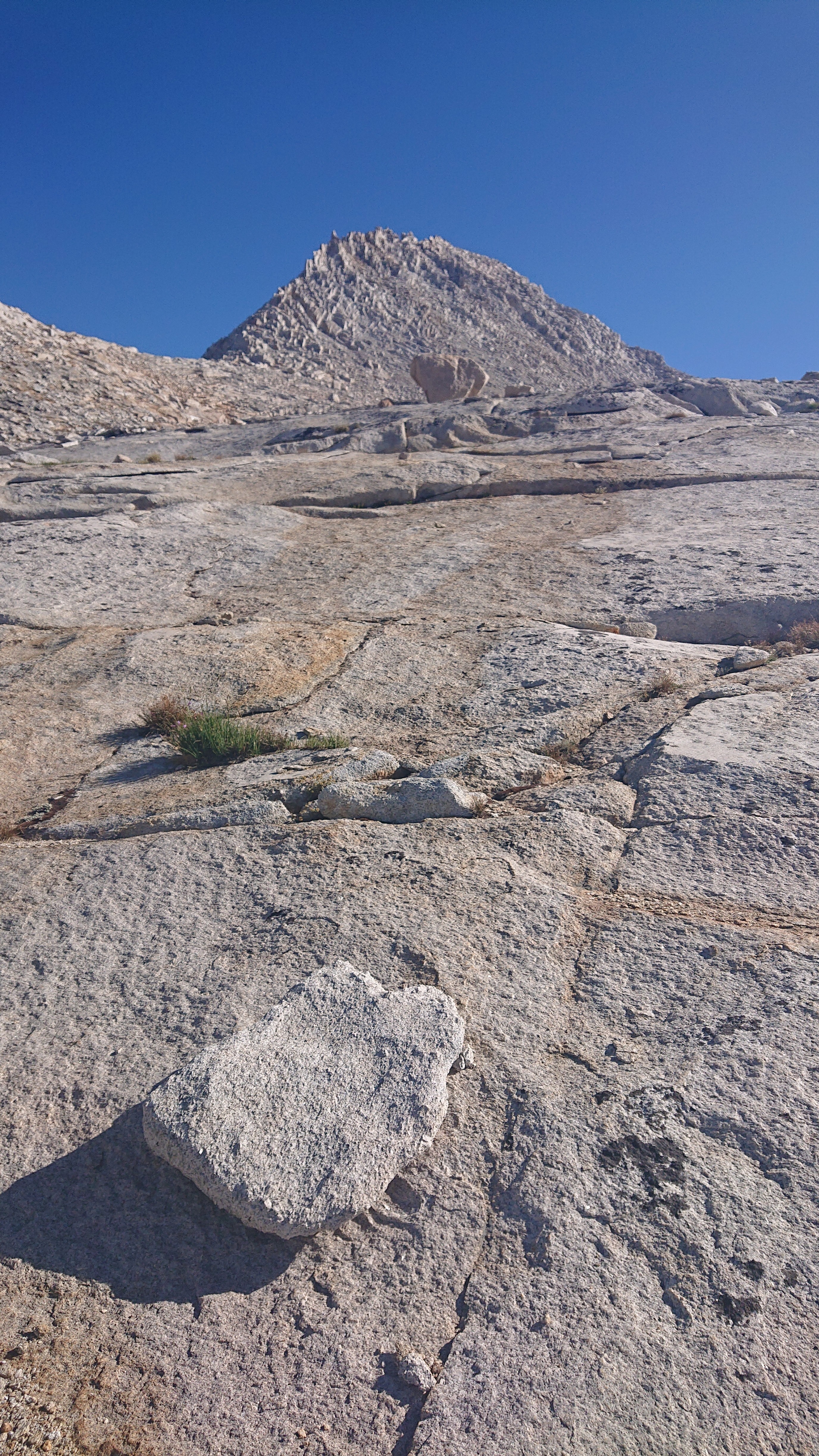
The top of the pass was very windy, so I didn’t stay long. The view looking ahead, into Bear Lakes Basin:
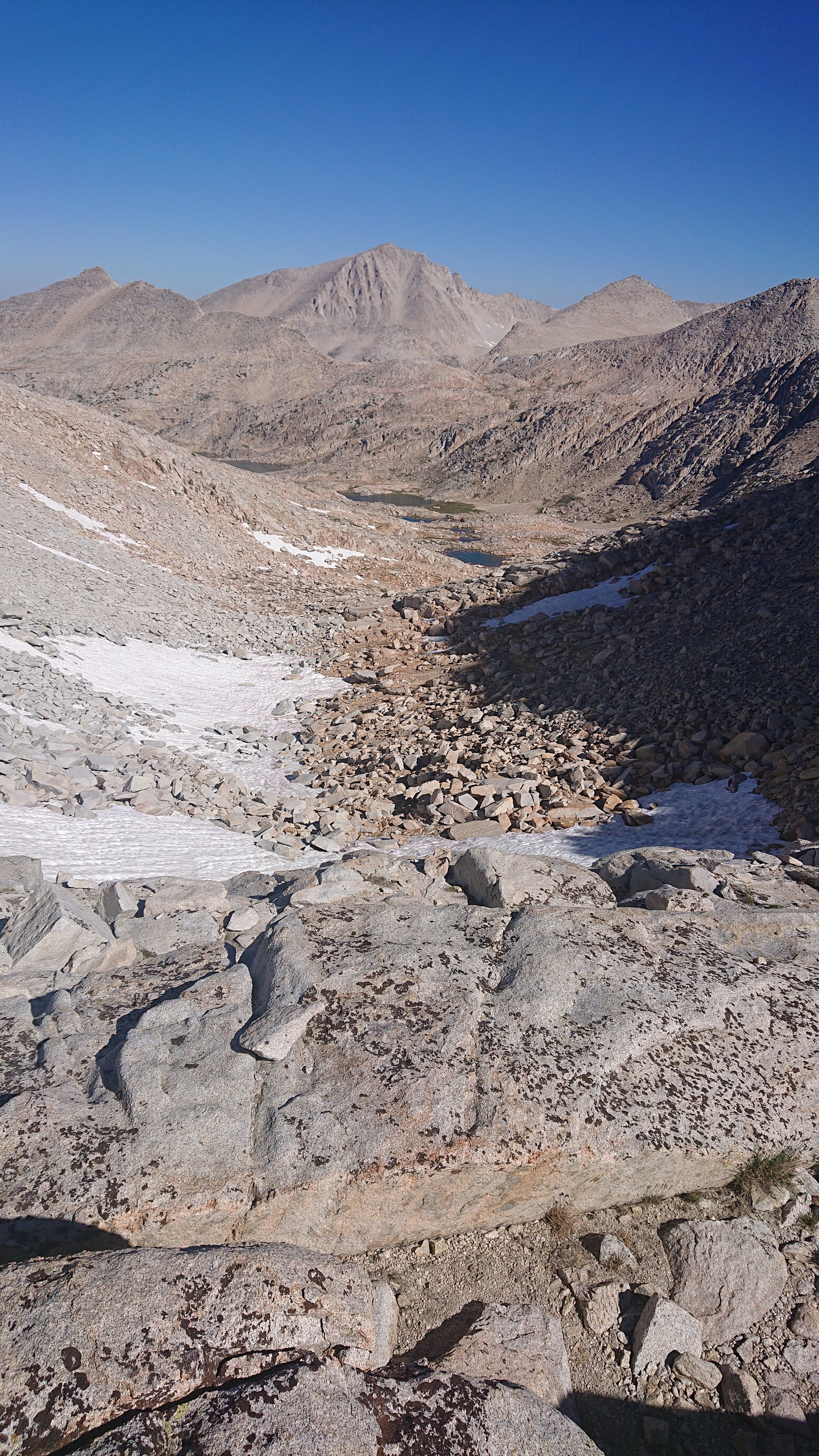
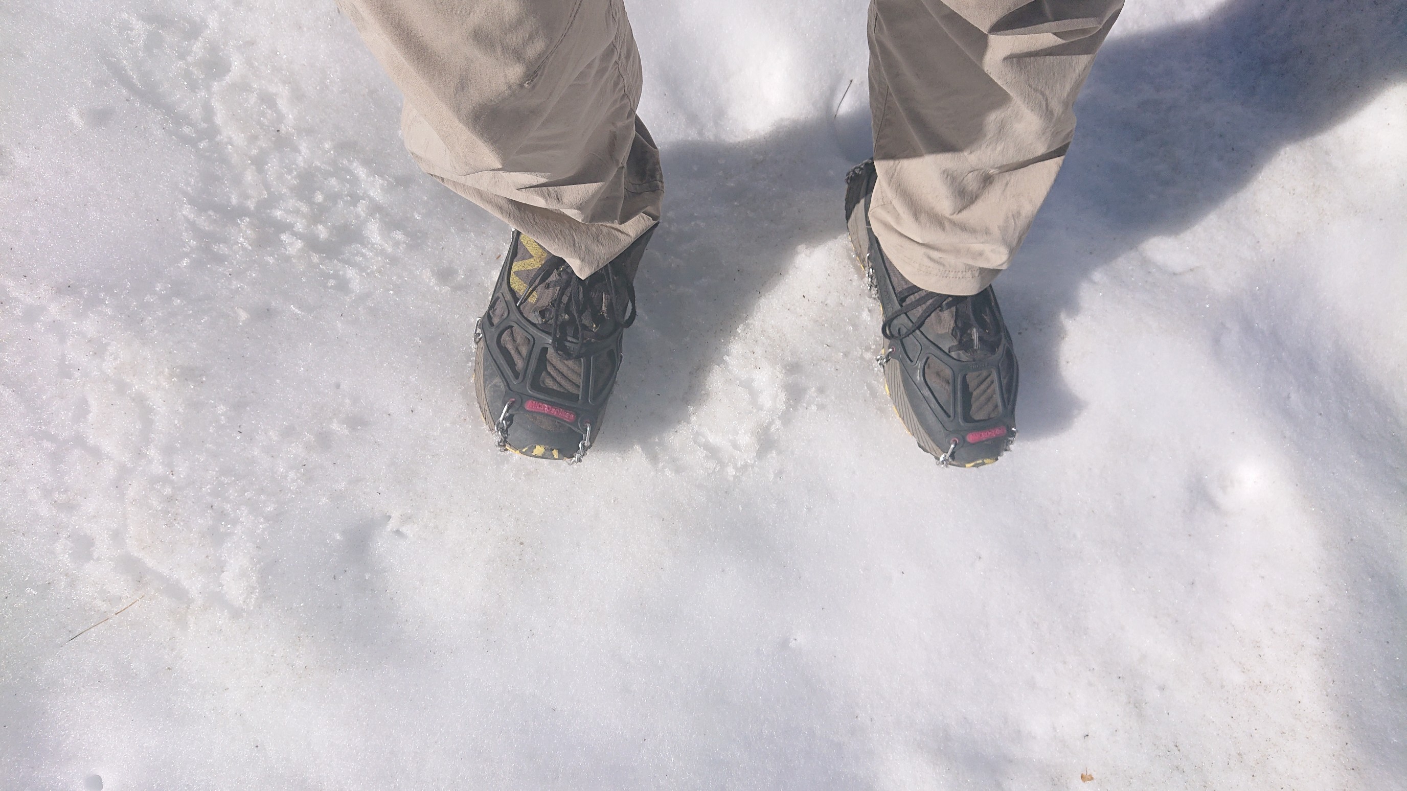
A very short part of the descent was on snow, and I was excited to finally use my microspikes for real.
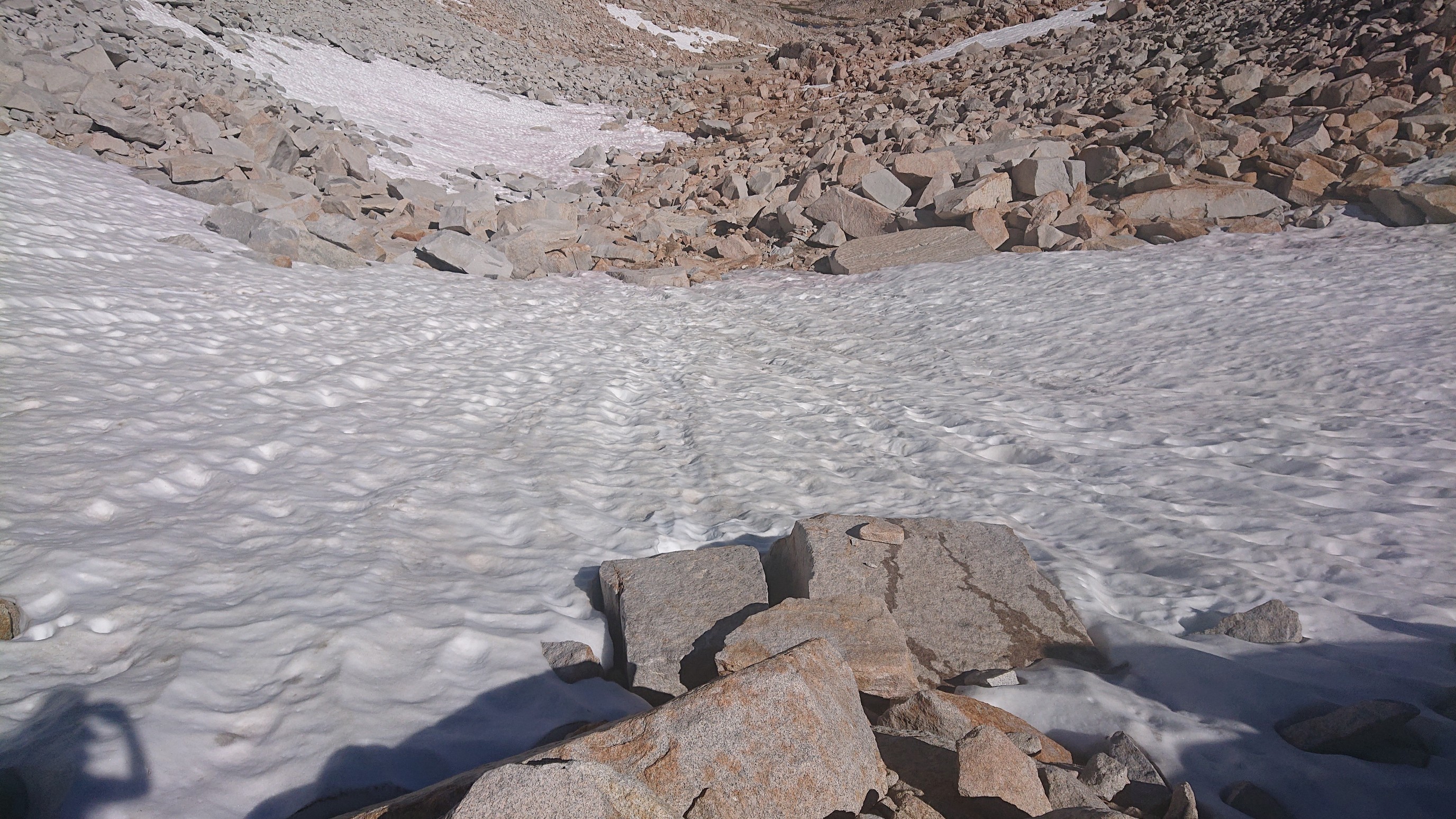
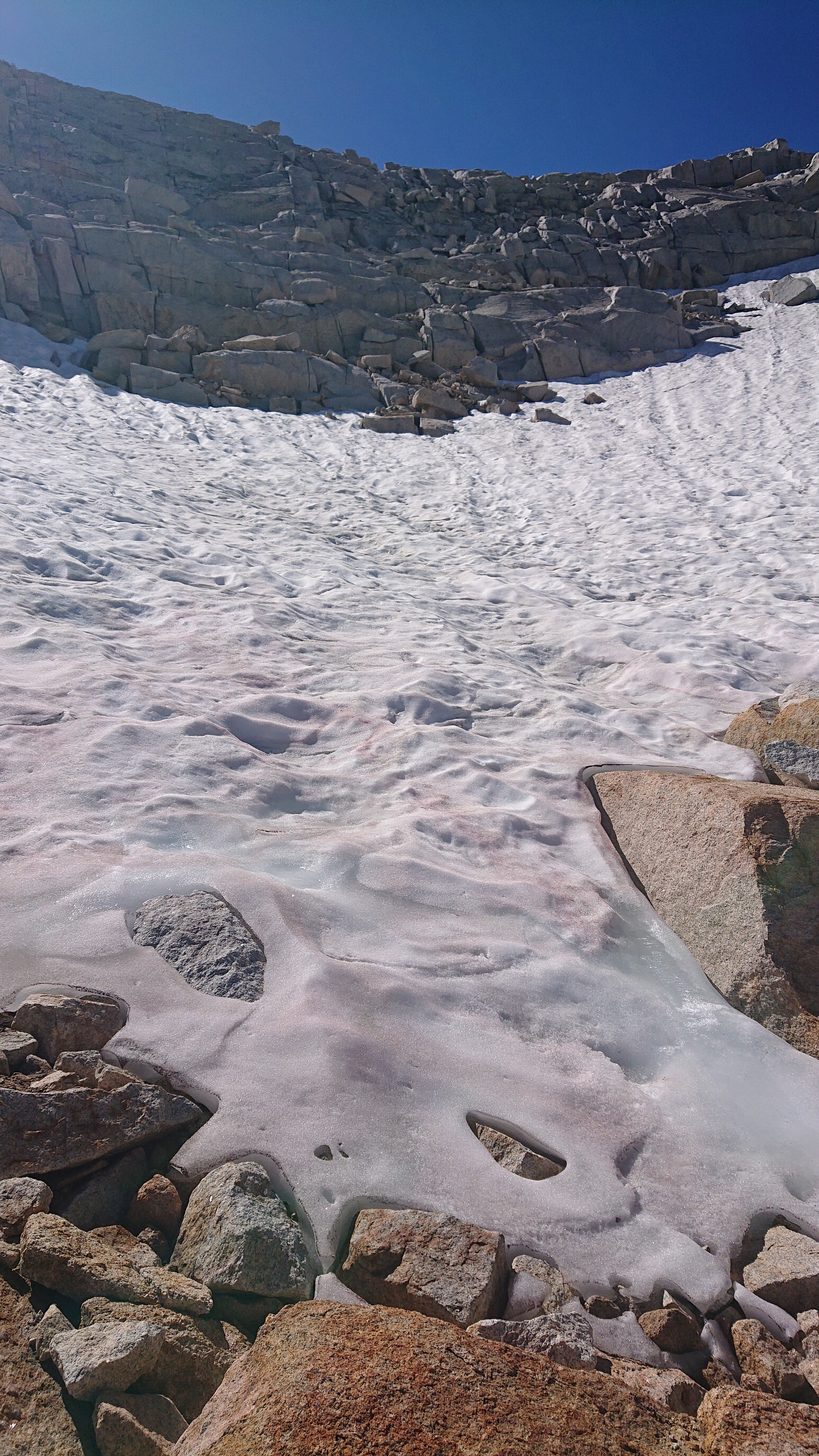
Looking up what I had just descended.
The first two lakes in the basin were Bearpaw Lake and Ursa Lake.
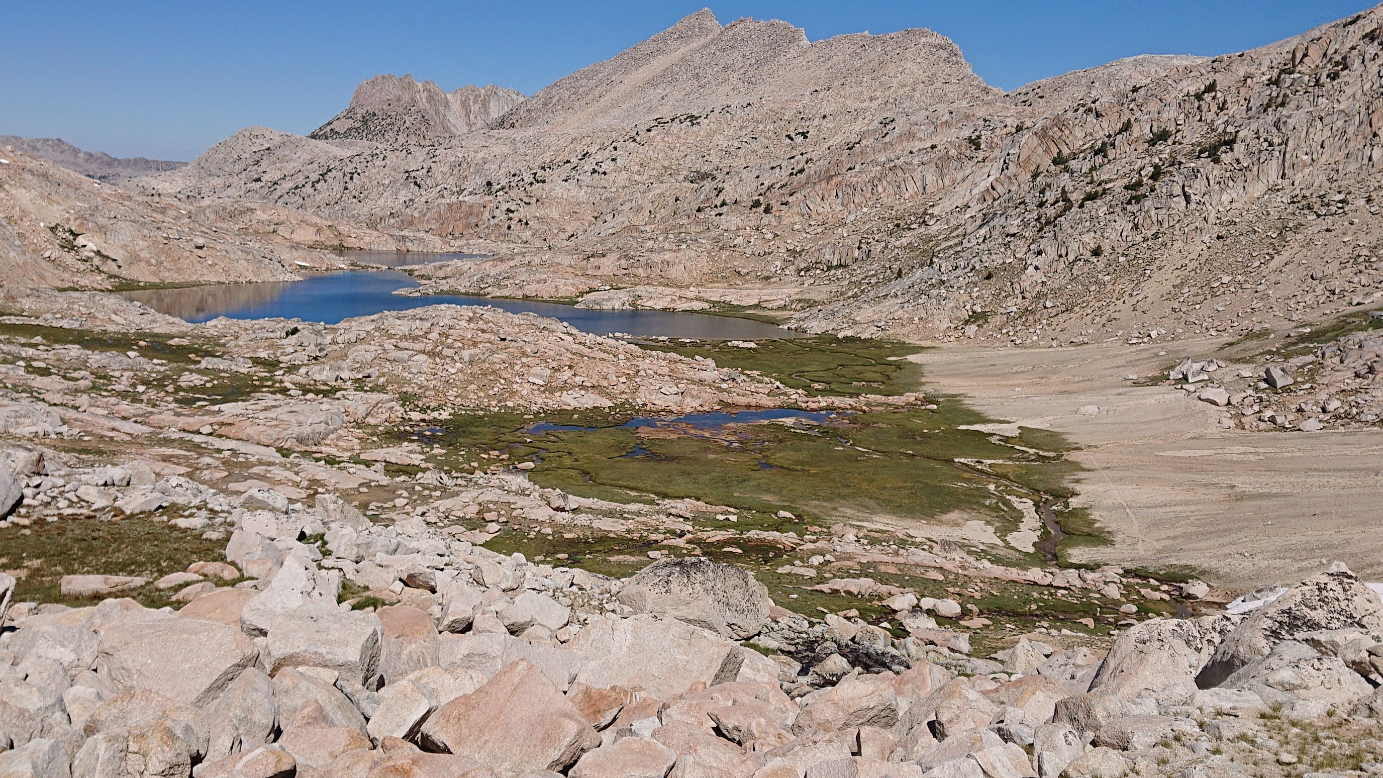
I swam in both, this one is Bearpaw lake.
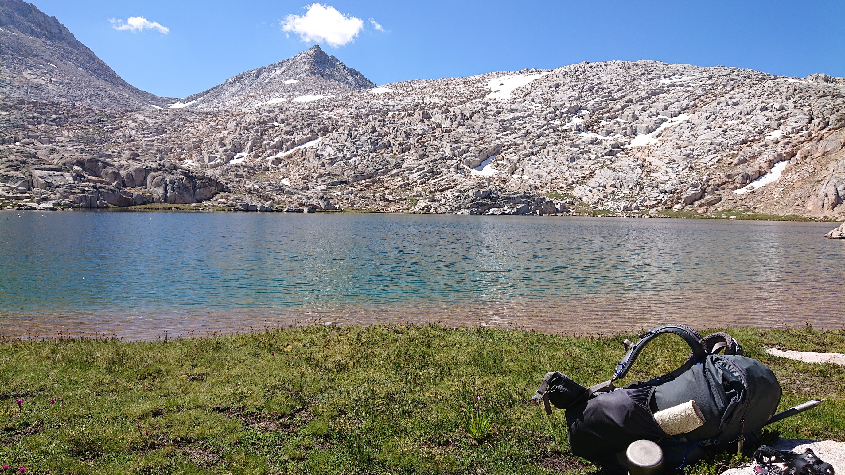
The trail also passed above Big Bear Lake, which I think was the largest bear, but inaccessible due to cliffs.
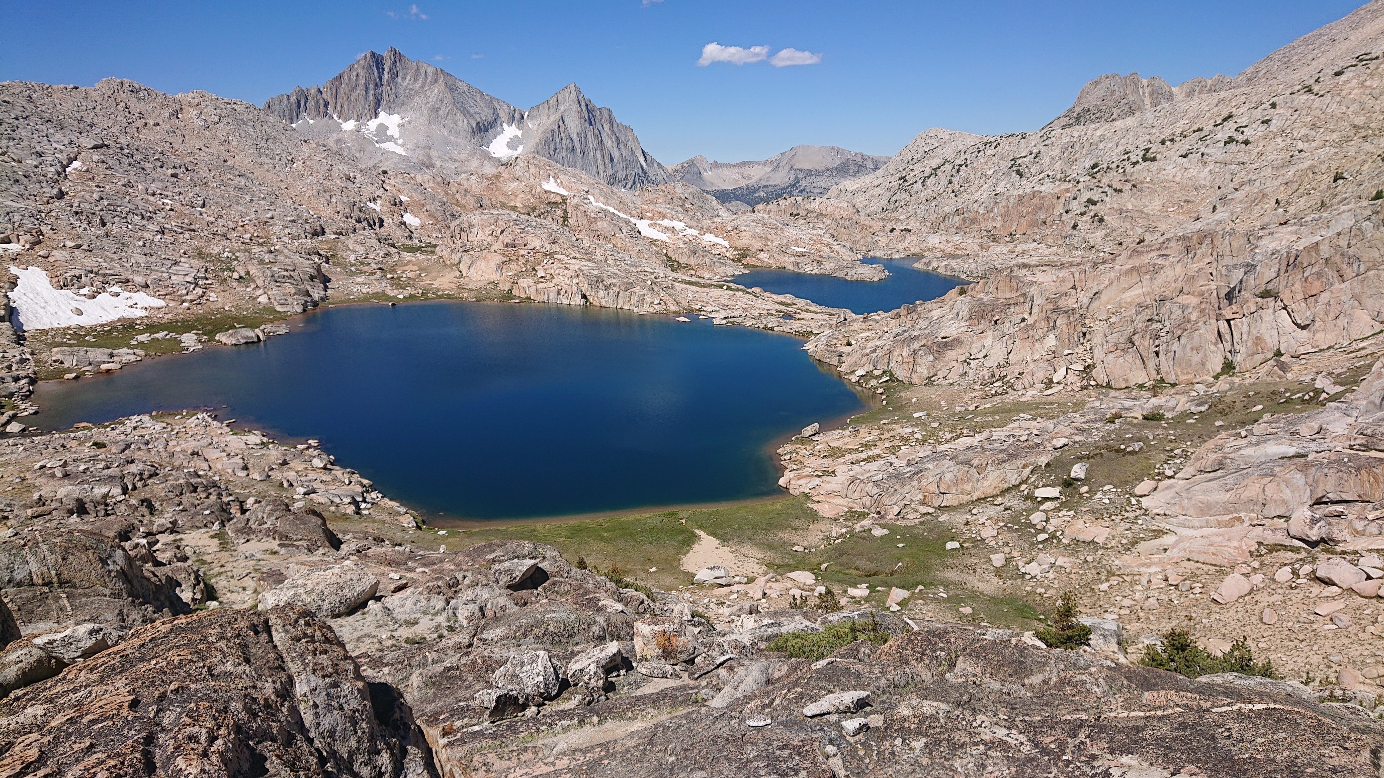
Next, I traversed over to Black Bear Lake and made sure it was swimmable…Yup. I continued up the hill, this is the view of it behind me.
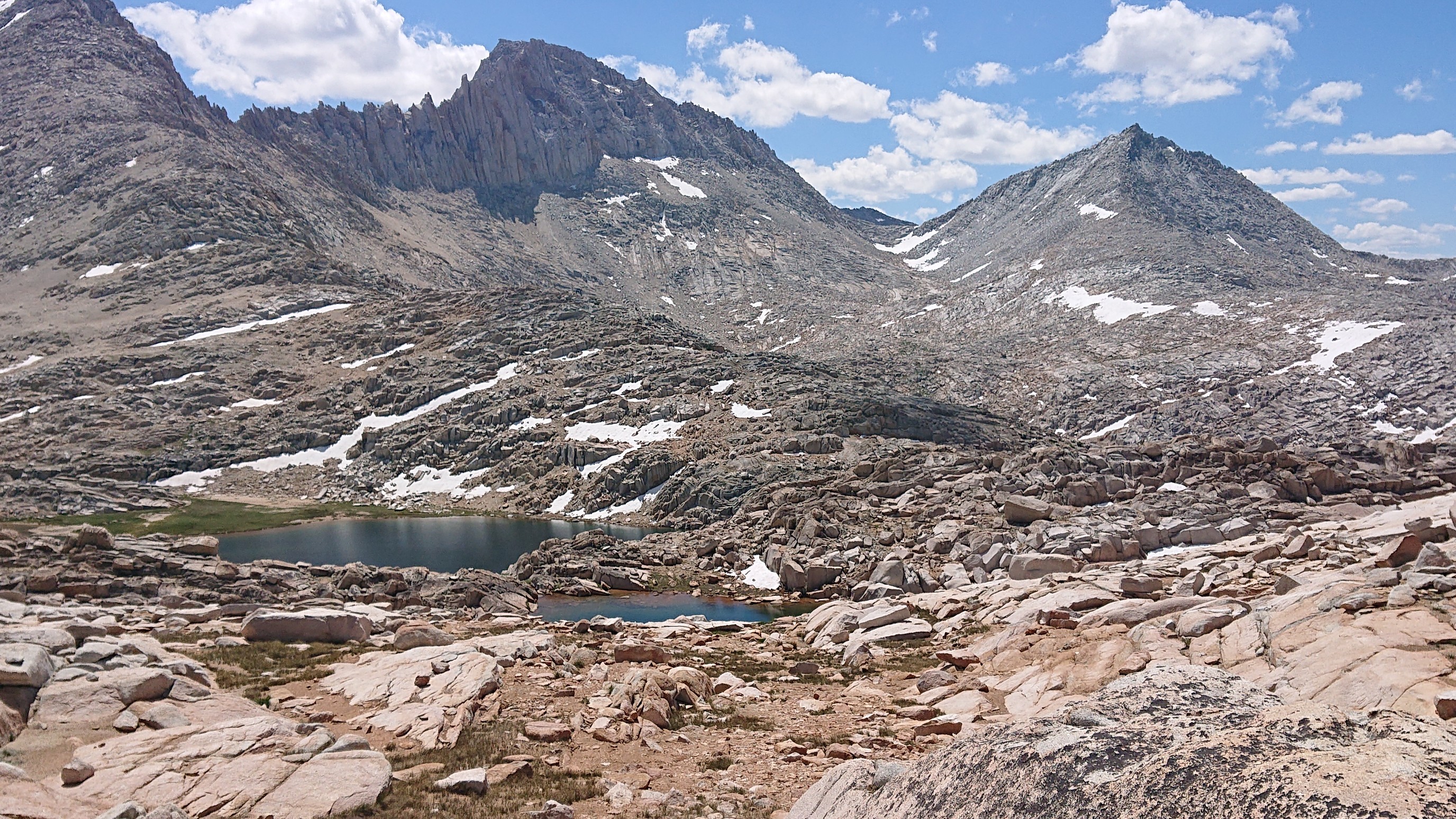
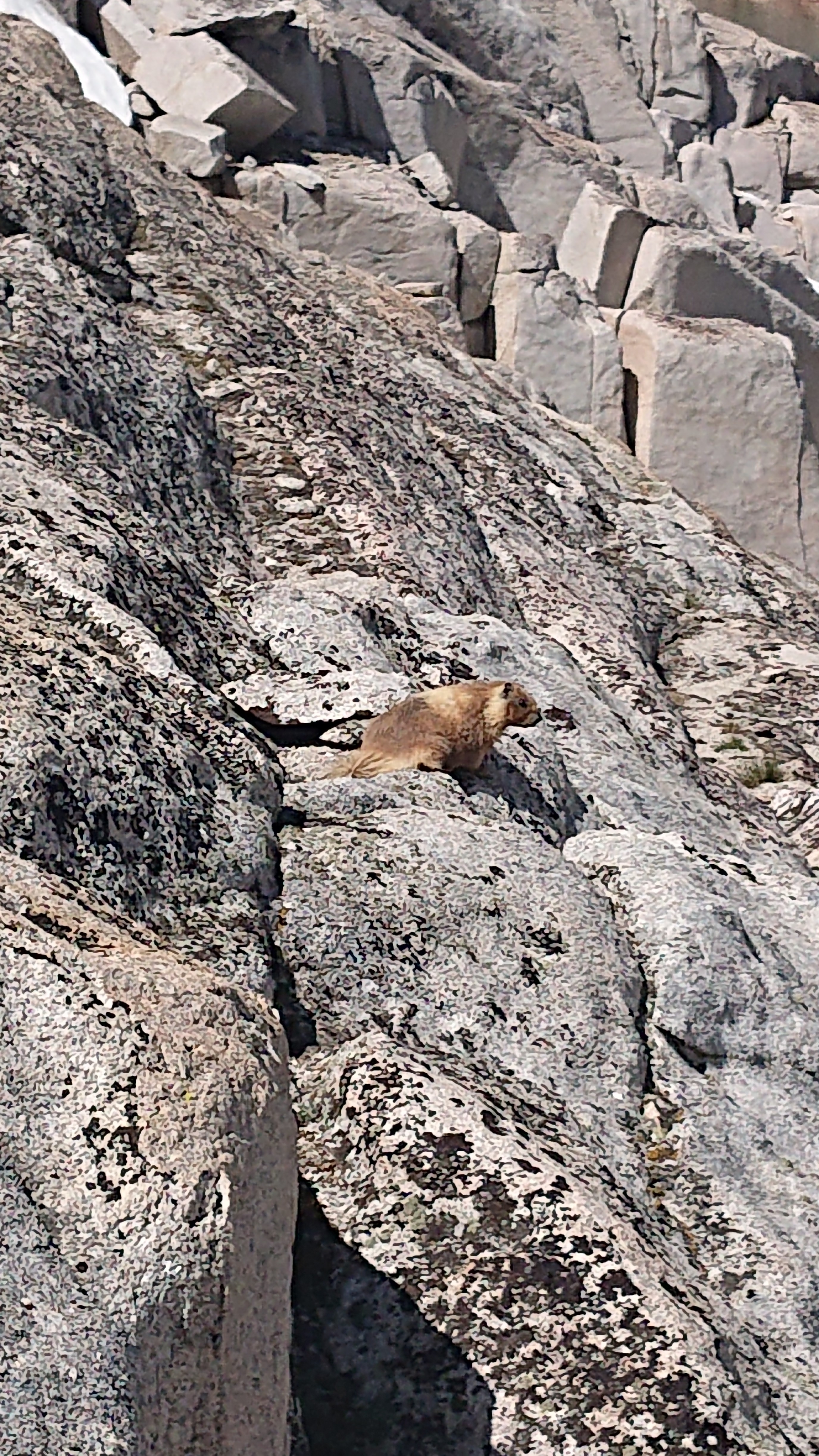
On the climb up to White Bear Lake, there were tons of chattering marmots.
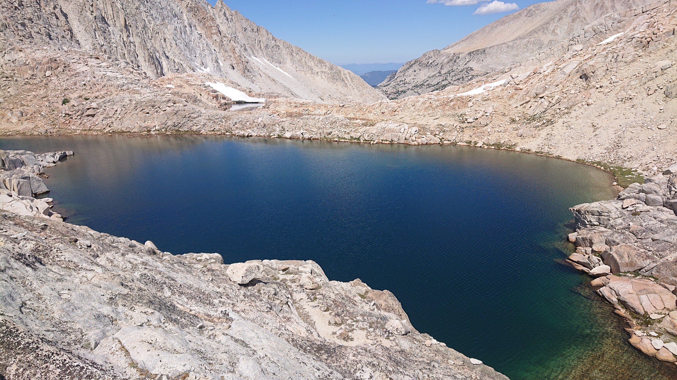
White Bear Lake was the highest one.
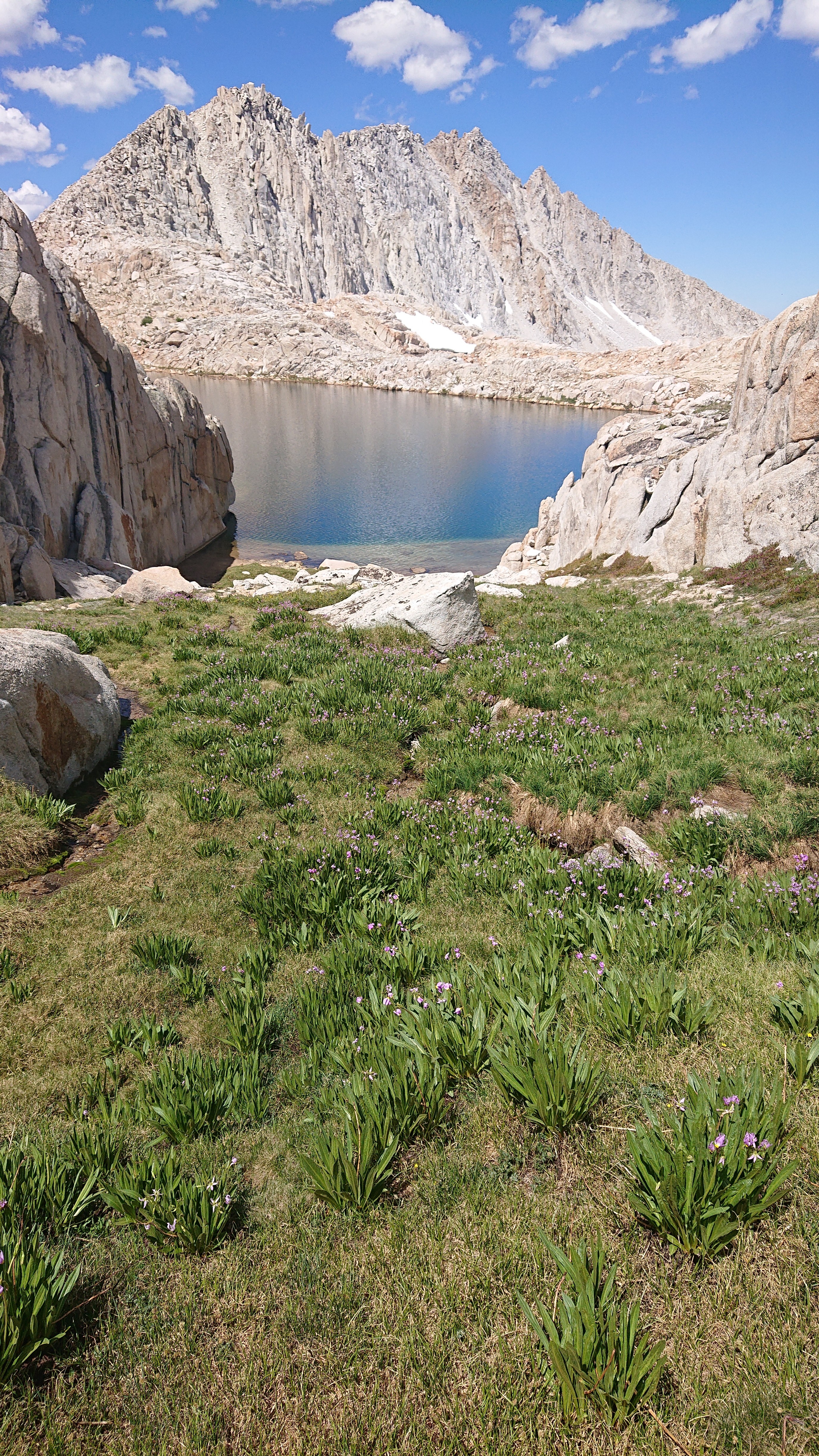
I accessed the lake thru a break in the cliffs, and walked down a nice grassy ramp.
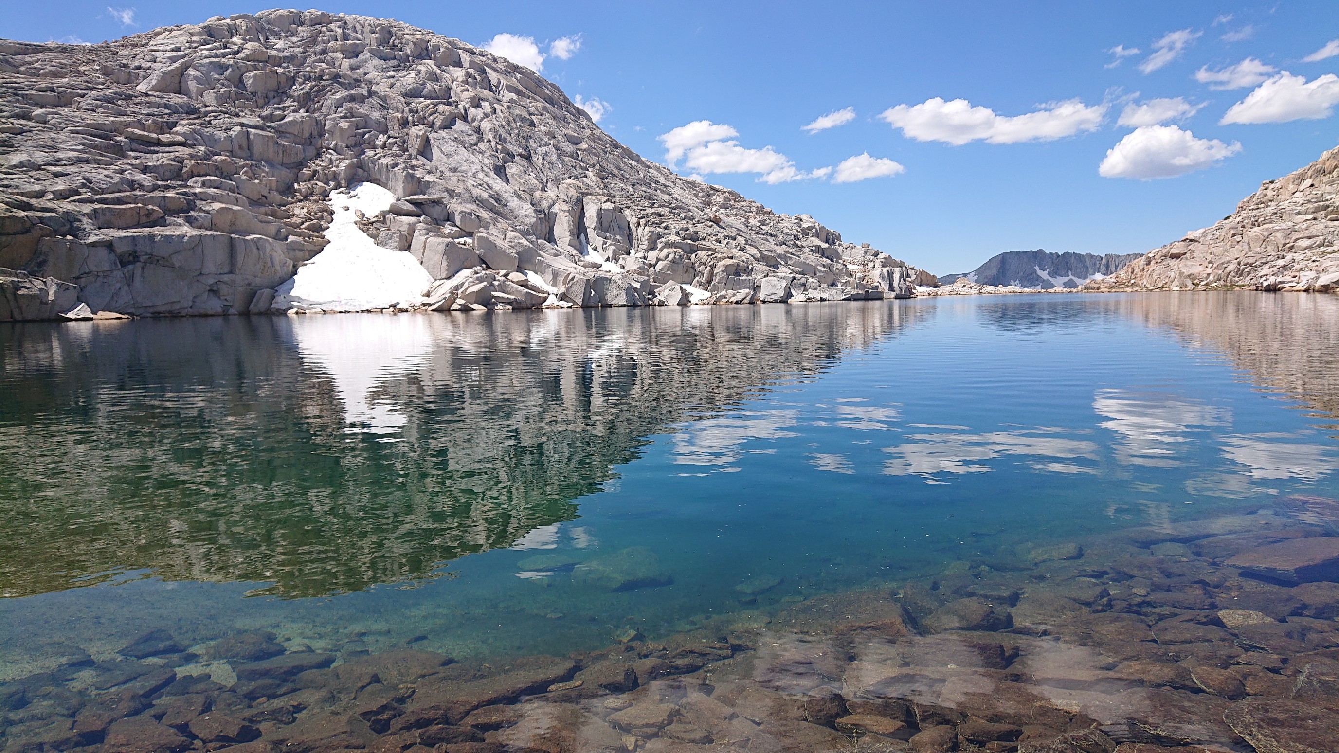
The melting snow made the swim extra refreshing.
I left the lake and walked over to White Bear Pass, and could see all the way down to Brown Bear Lake. There was a ton of talus to hike thru.
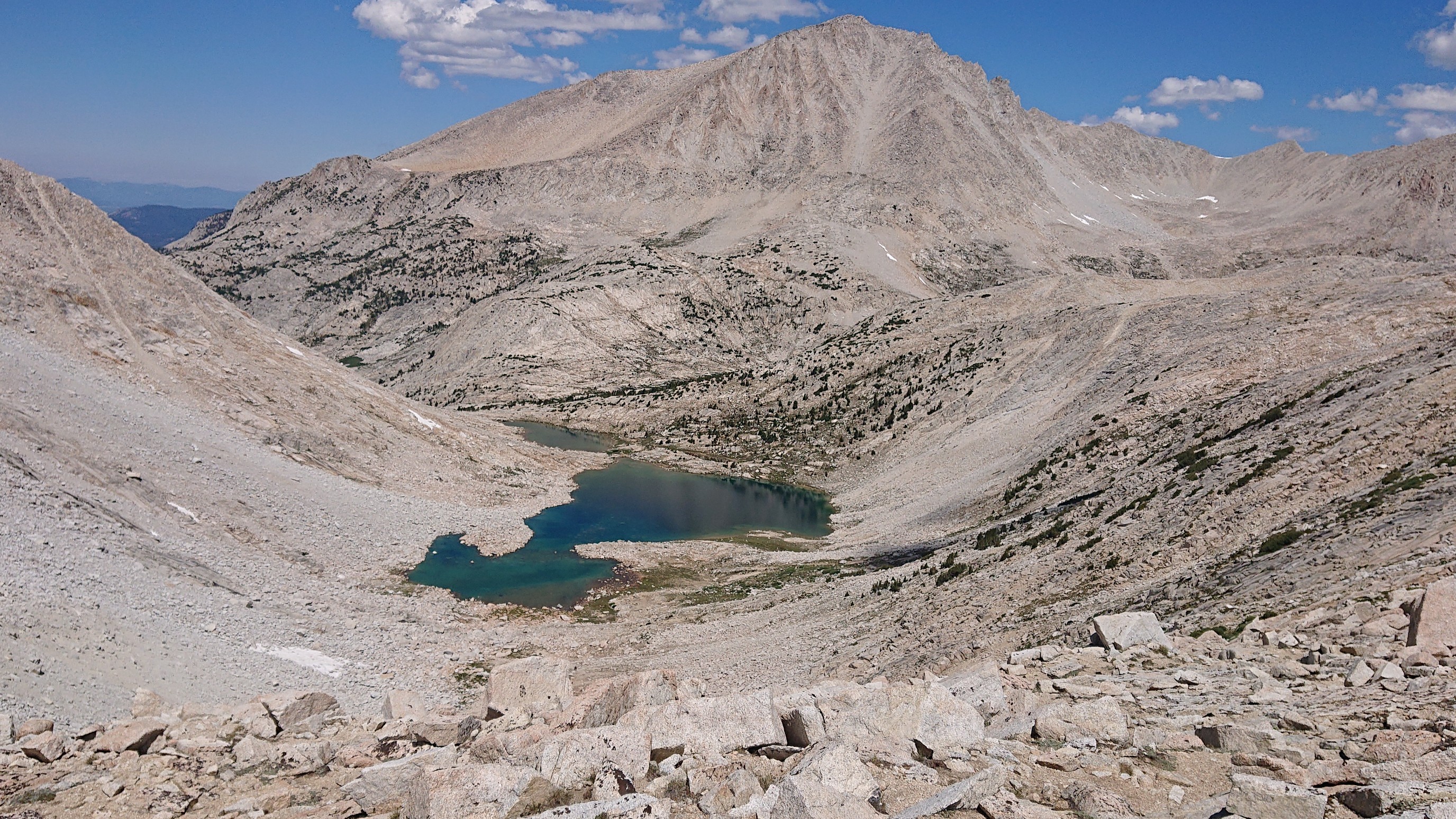
I had lunch and a swim at Brown Bear Lake, this was the warmest bear yet.
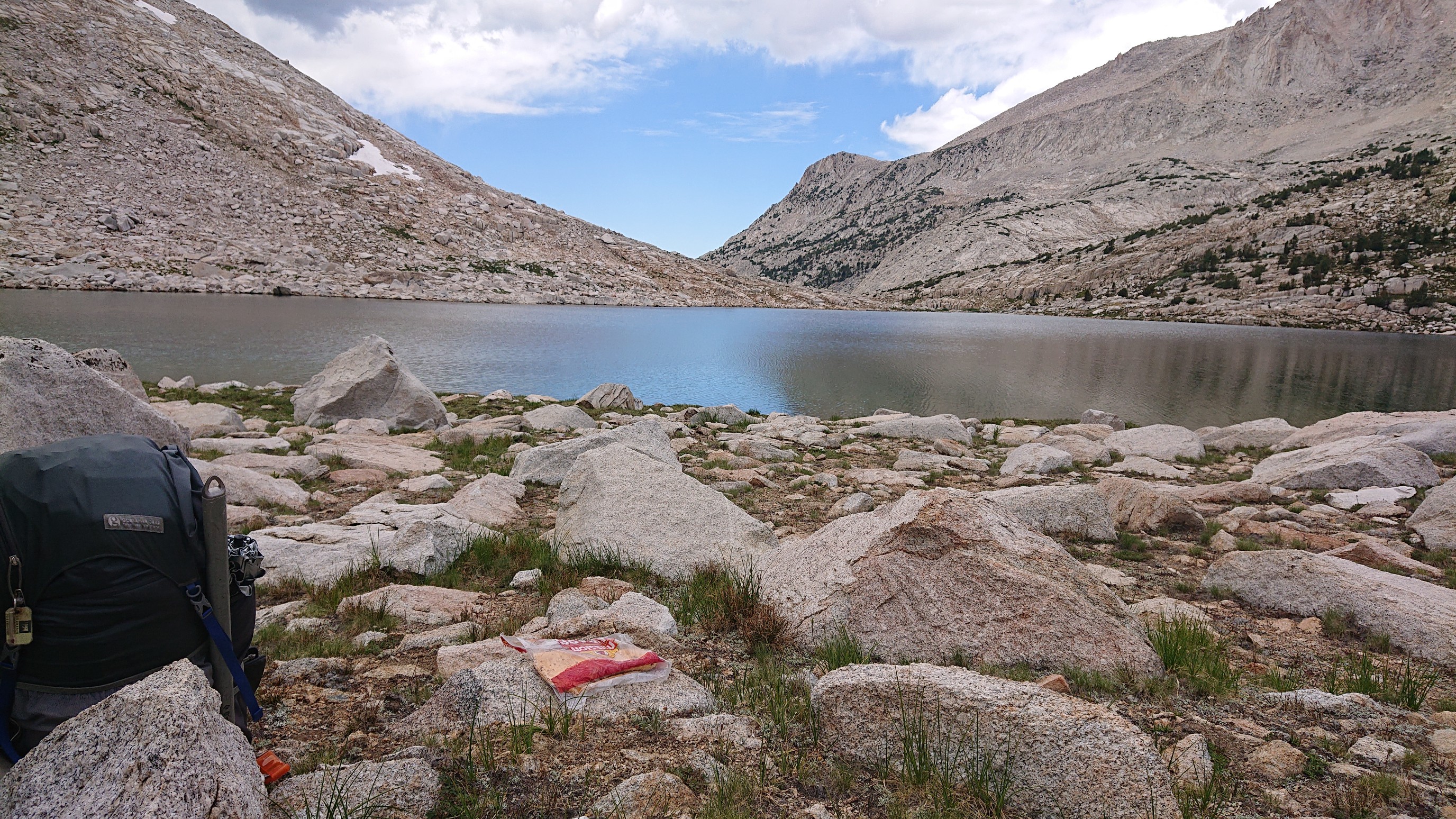
It was hot, so I stayed until a cloud came by to continue hiking. When I had my shade, I walked on, passing the final bear-themed lake, Teddy Bear Lake.
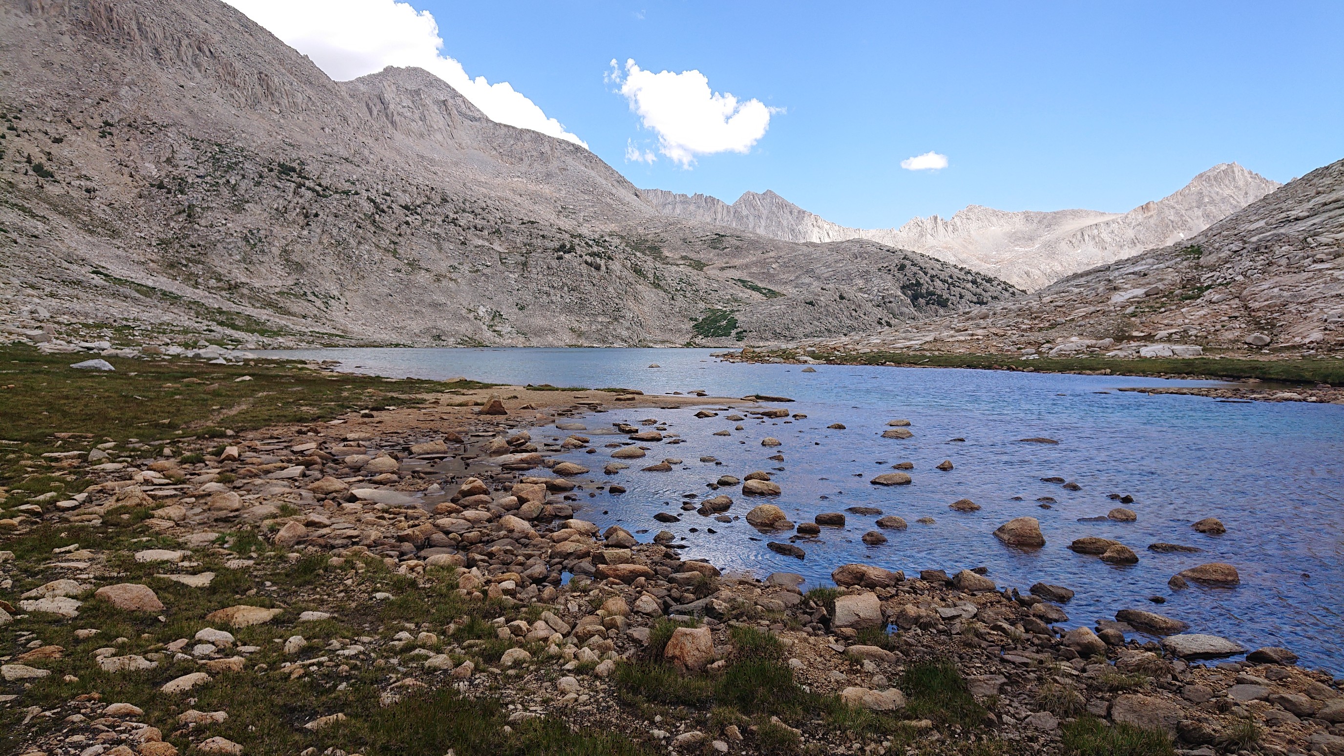
I left the bear lakes basin and had a nice xc walk for an hour. I arrived at Lake Italy, which is a huge lake, and very windy. I think it was almost three miles long.
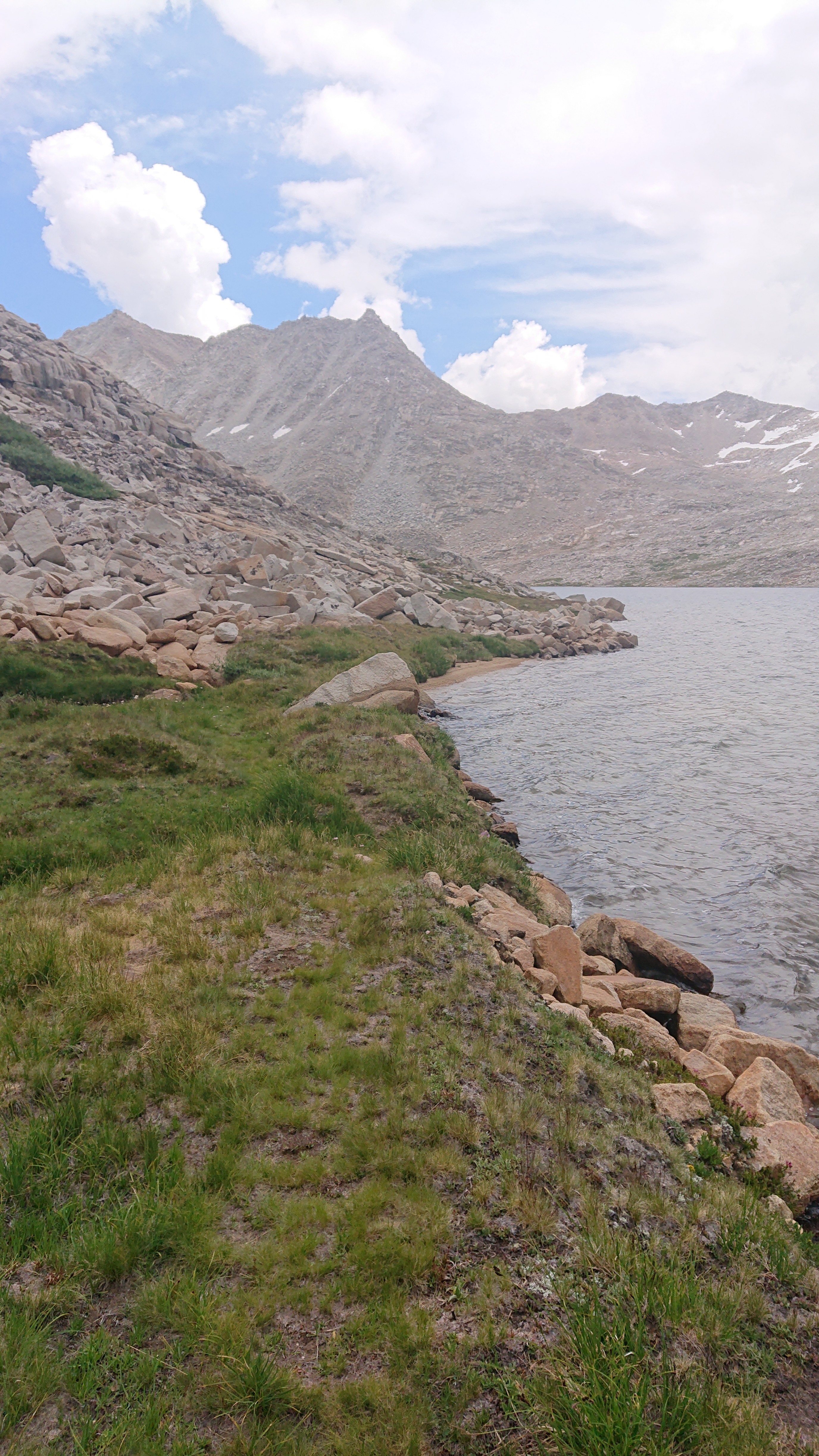
After the lake, some storm clouds came in. I waited to see if a thunderstorm was developing, but fortunately it was just a lot of wind and sporadic raindrops. So, I continued up to Gabbot Pass, the last pass over 12,000ft on the Sierra High Route.
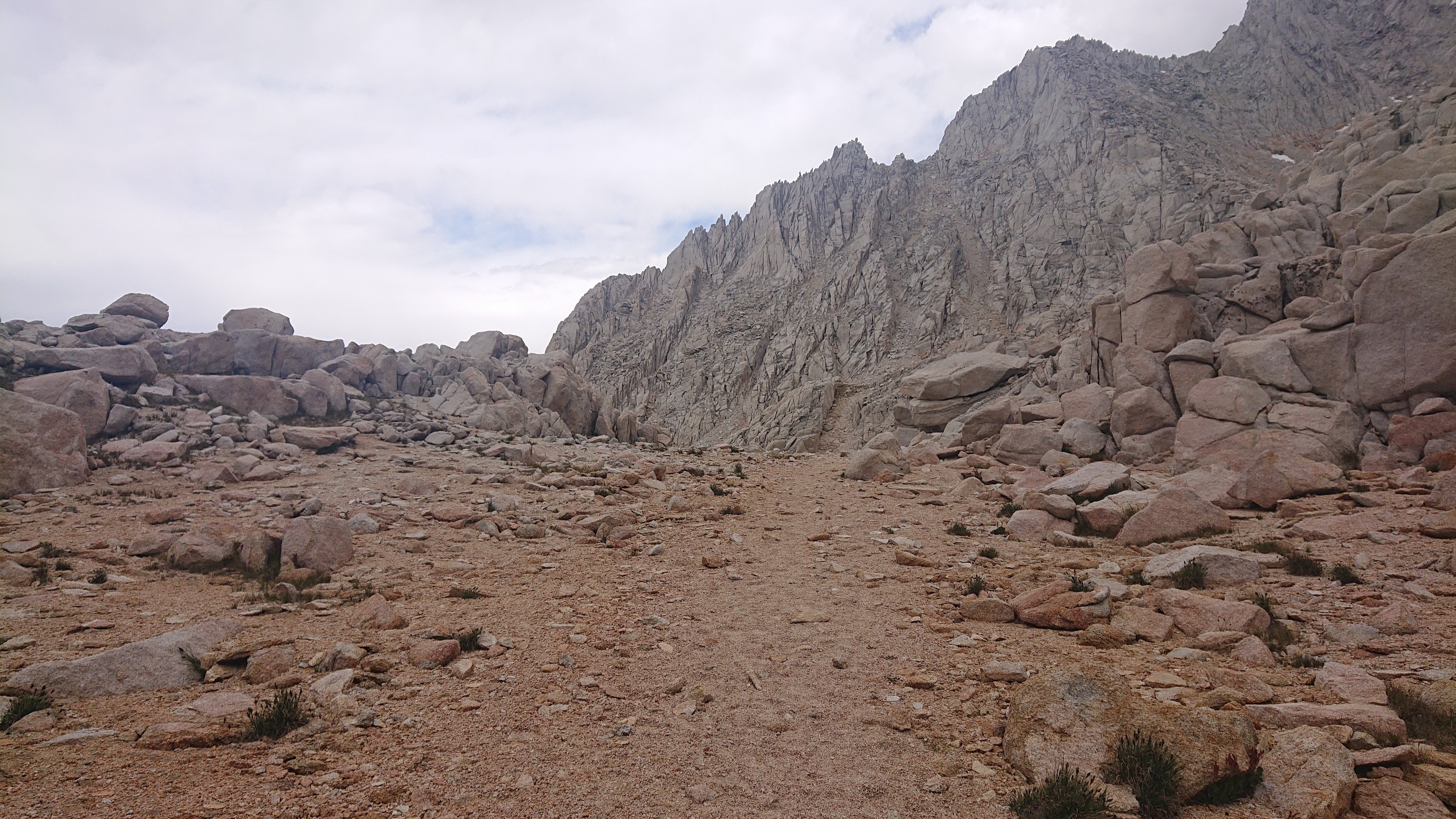
The view behind me looked very dark and stormy.
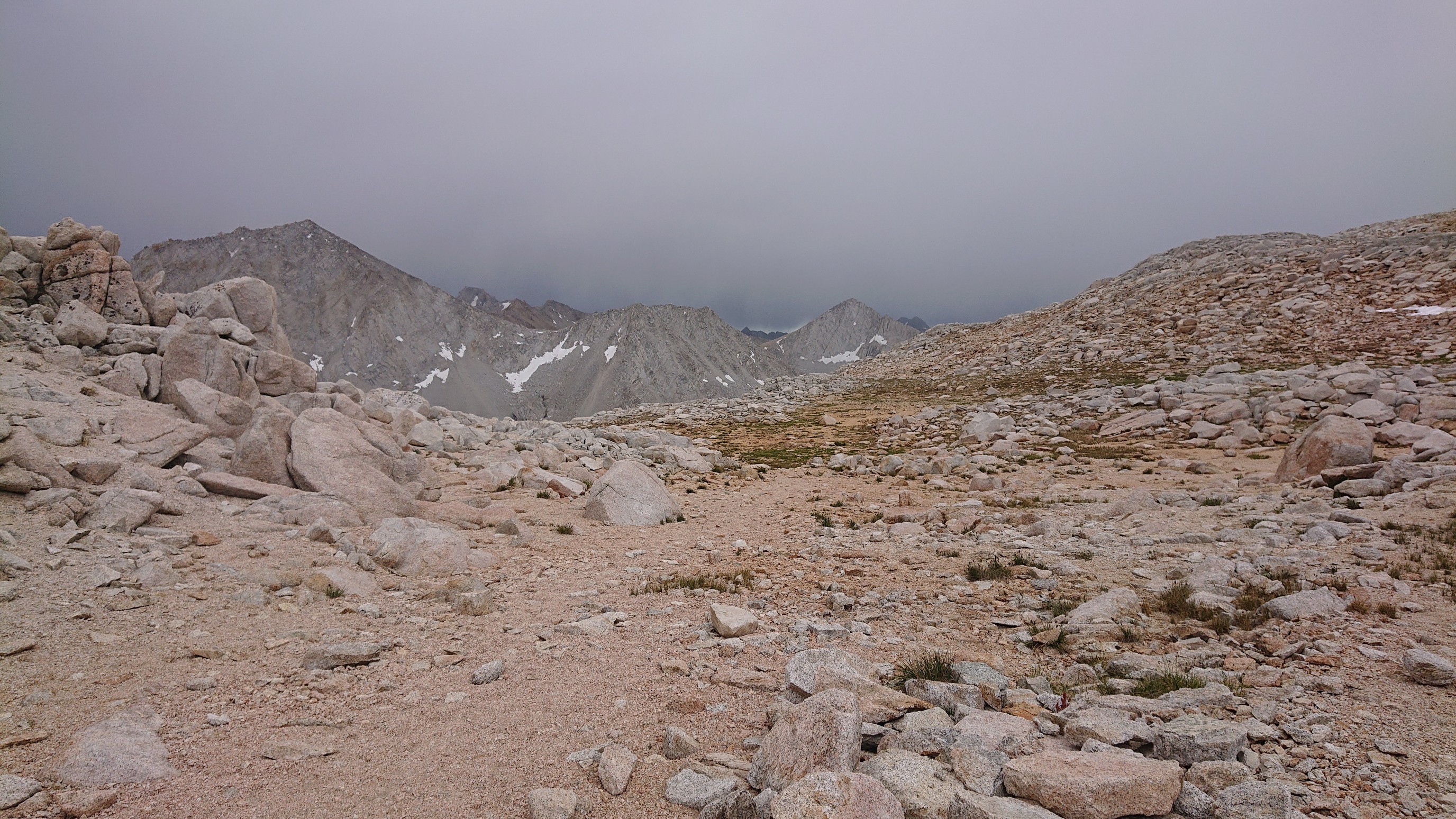
The view ahead looked promising.
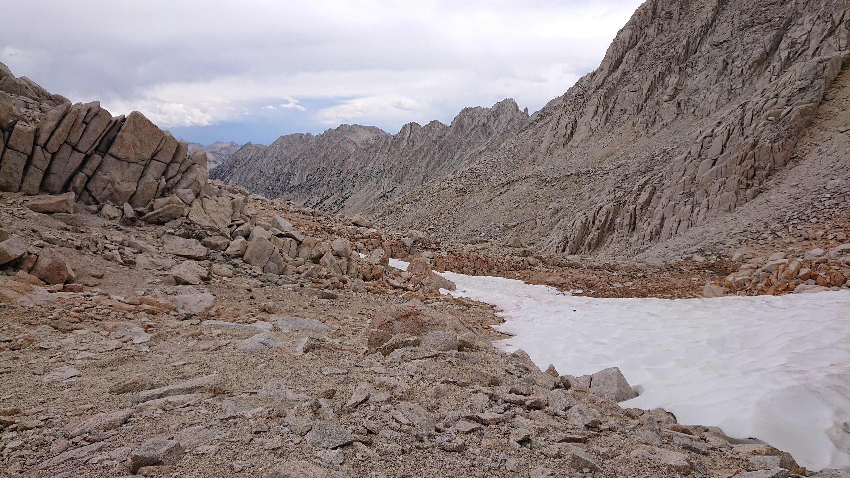
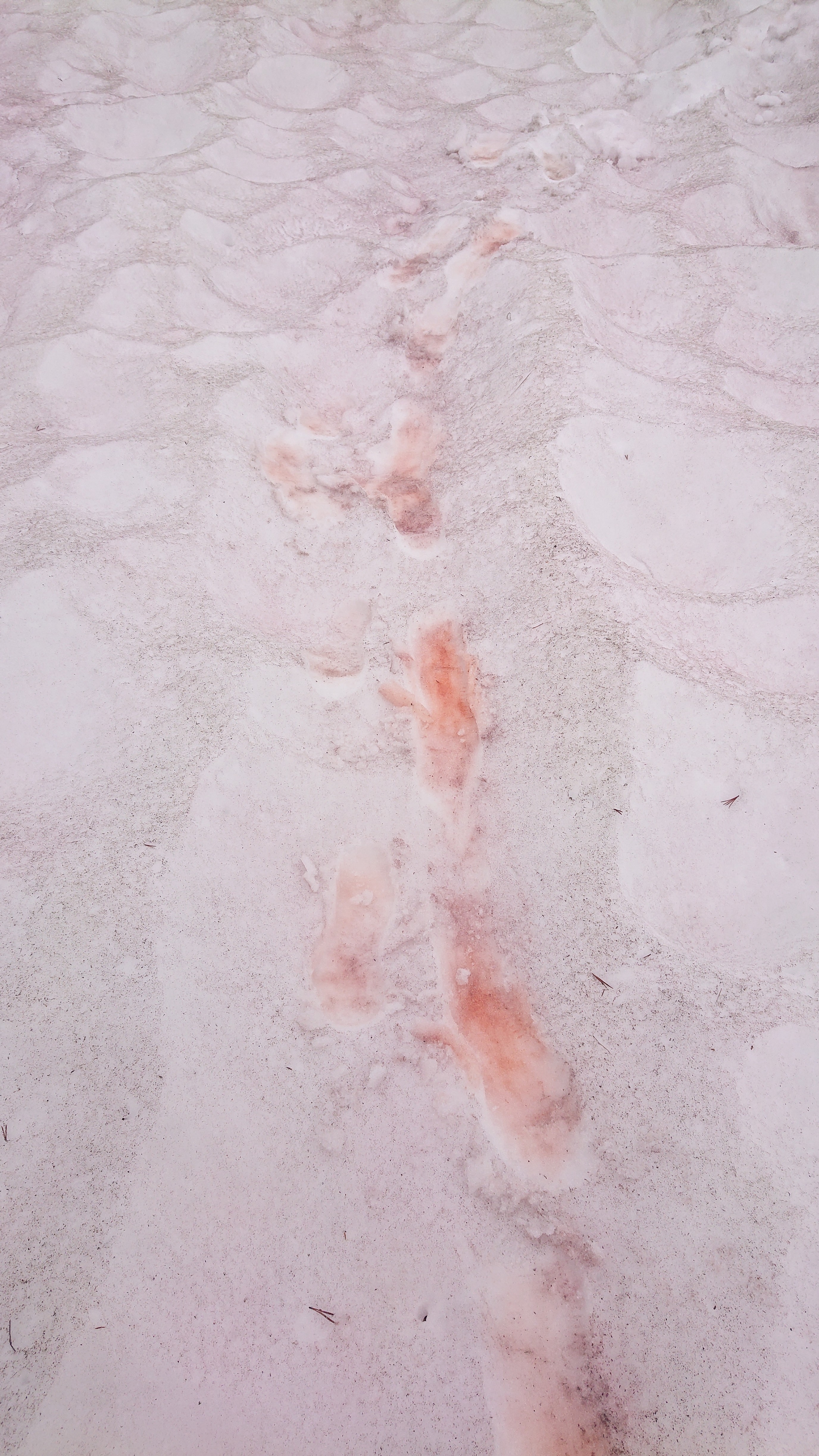
I descended the pass and there was a short patch of snow, with red stuff growing on the surface. It made strange red footprints when I walked on it.
I hiked down past Upper Mills Creek Lake.
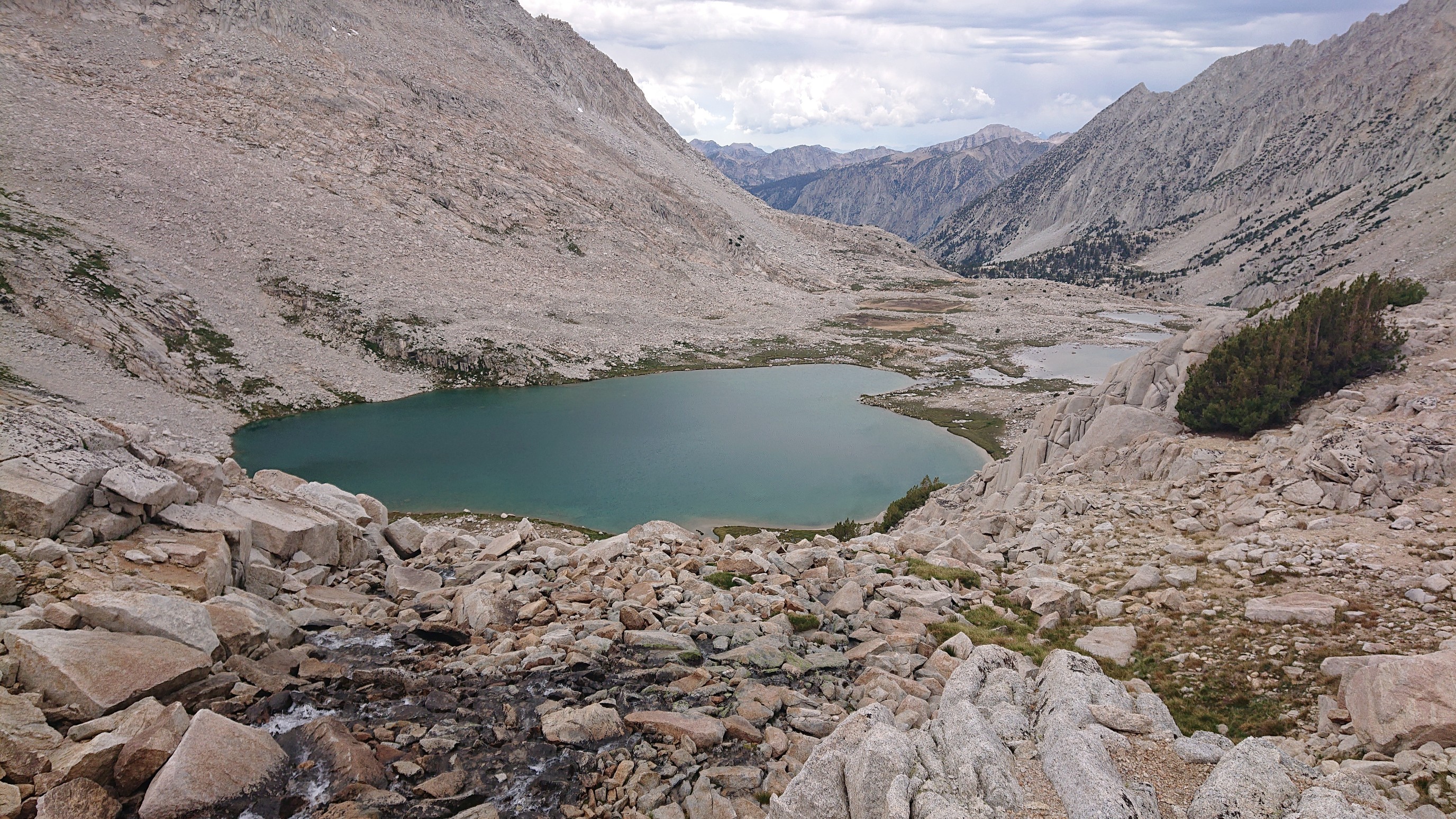
I saw a wolf! (I think, it was a large grey canine with pointy ears). I stopped for the day at 5:30pm, at Lower Mills Creek Lake.
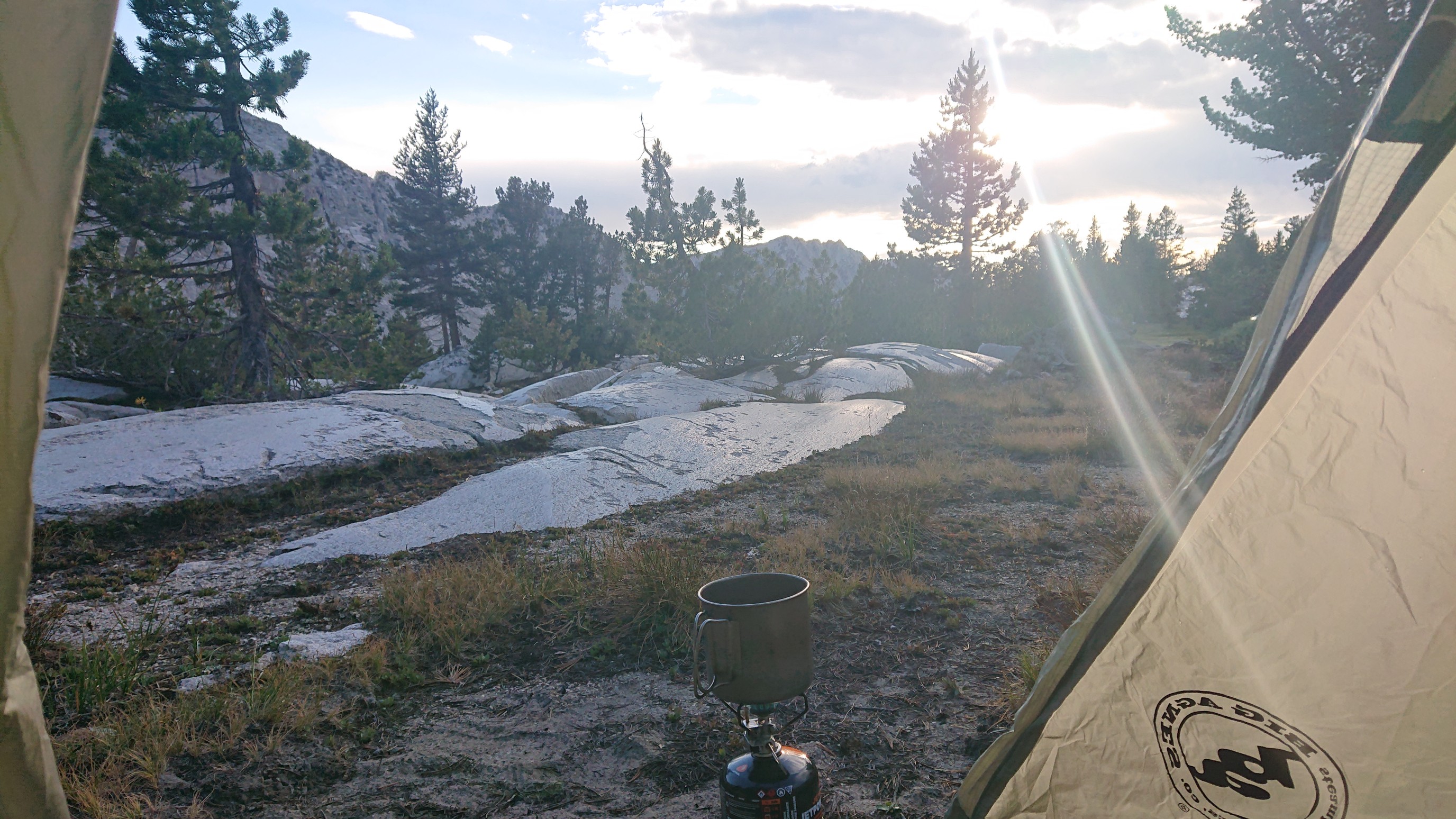
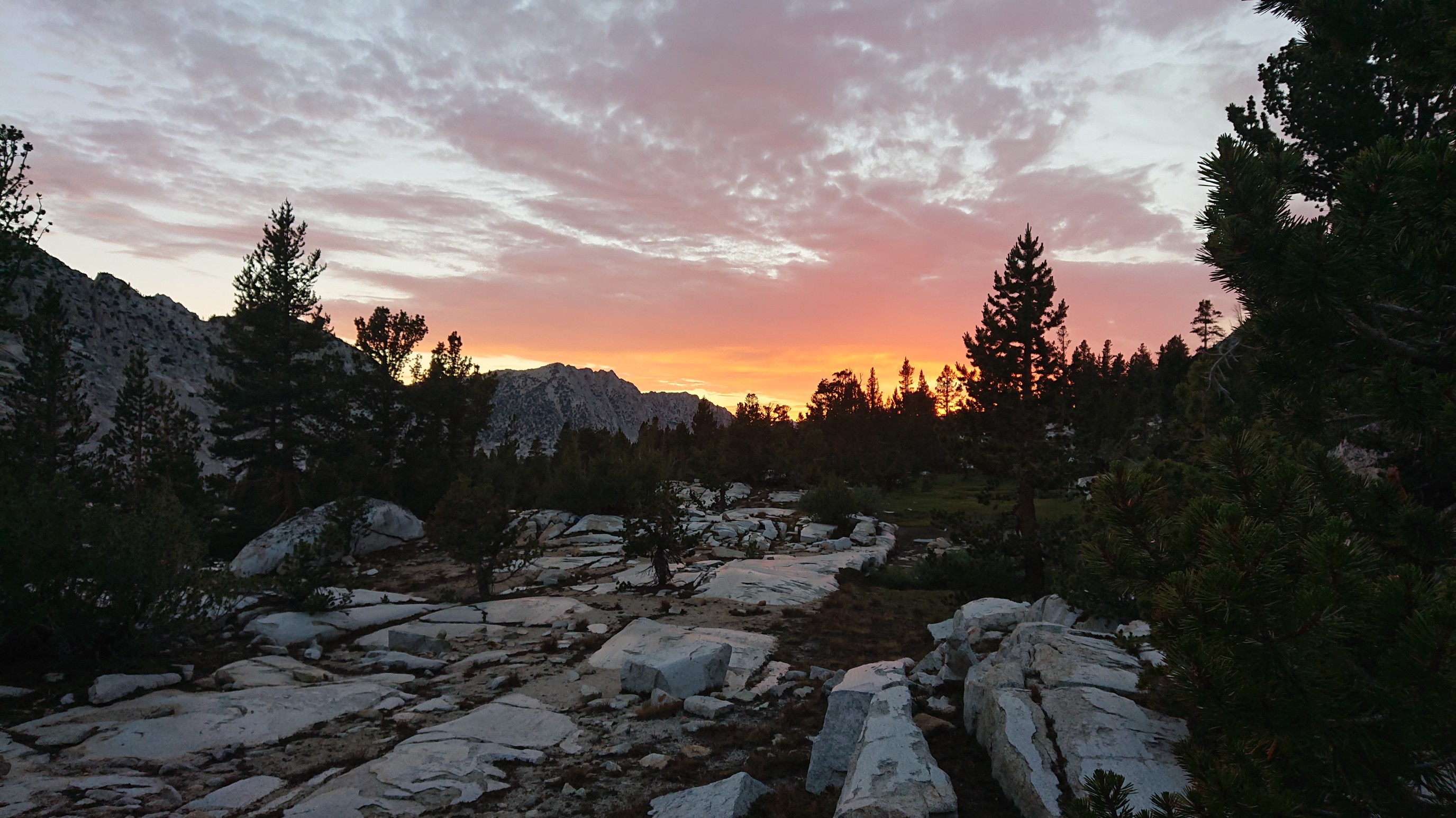
Watching the sunset from my tent was a great finish to an awesome birthday of bear-themed lakes, swimming, and alpine wildlife.
The alpenglow was intense. Amazing!
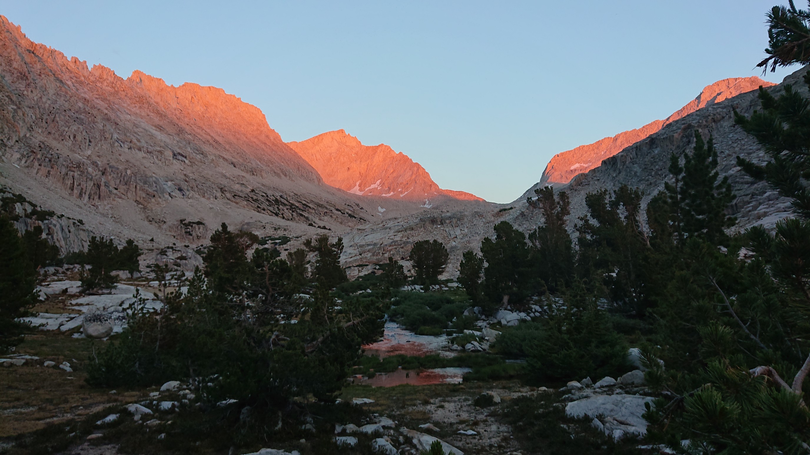
So nice to know that such wilderness beauty still exists today. Thanks, Jon