Friday July 24, 10.7mi/17.2km
Nancy Pass (126.9/10,240ft) to Lake Catherine (137.6/11,040ft) (CA)
The morning view from my tent was one of the best ever.
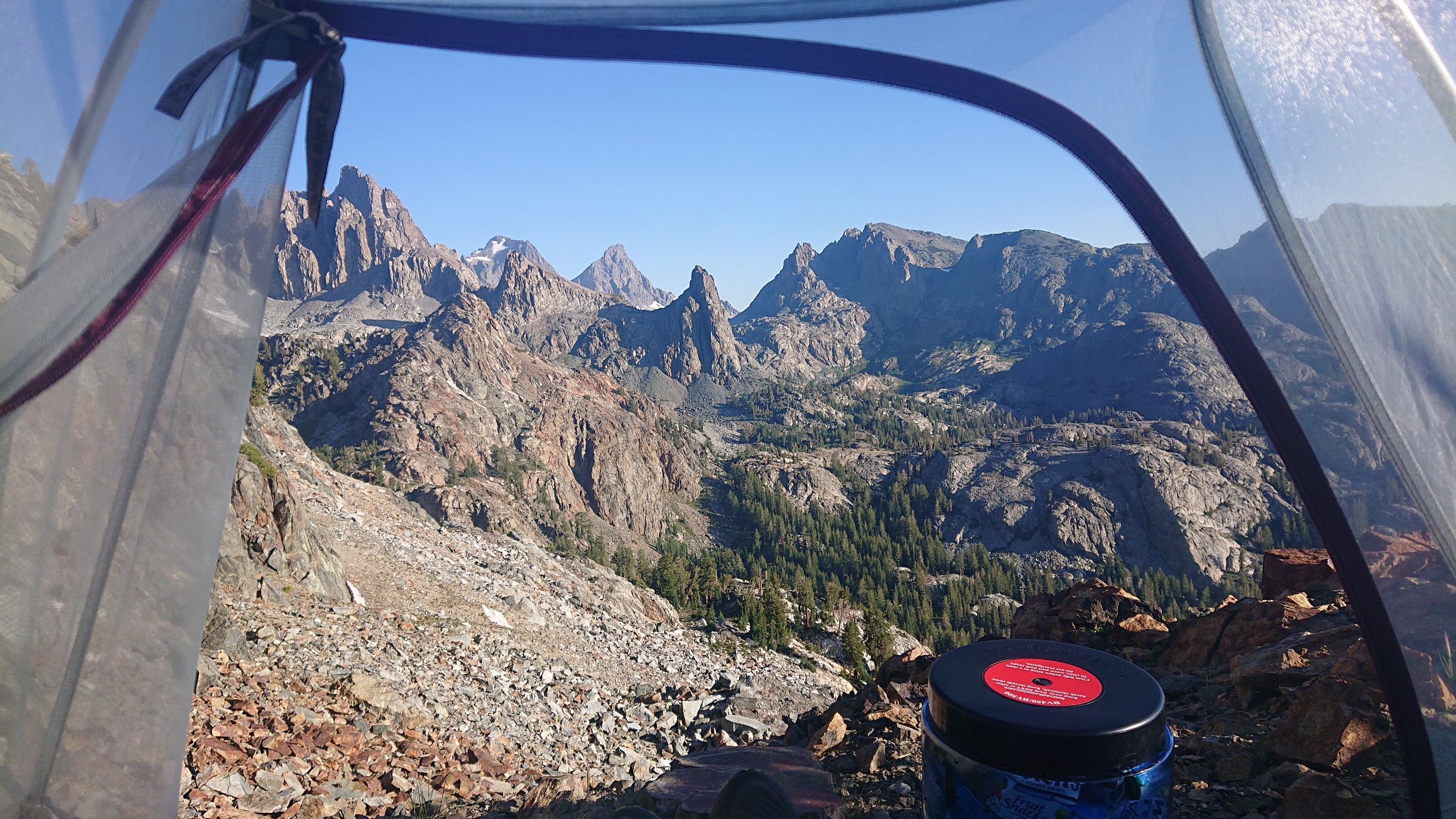
I easily found a way down from Nancy Pass and ambled across a nice meadow, and fortunately it was still too cold for the mosquitoes.
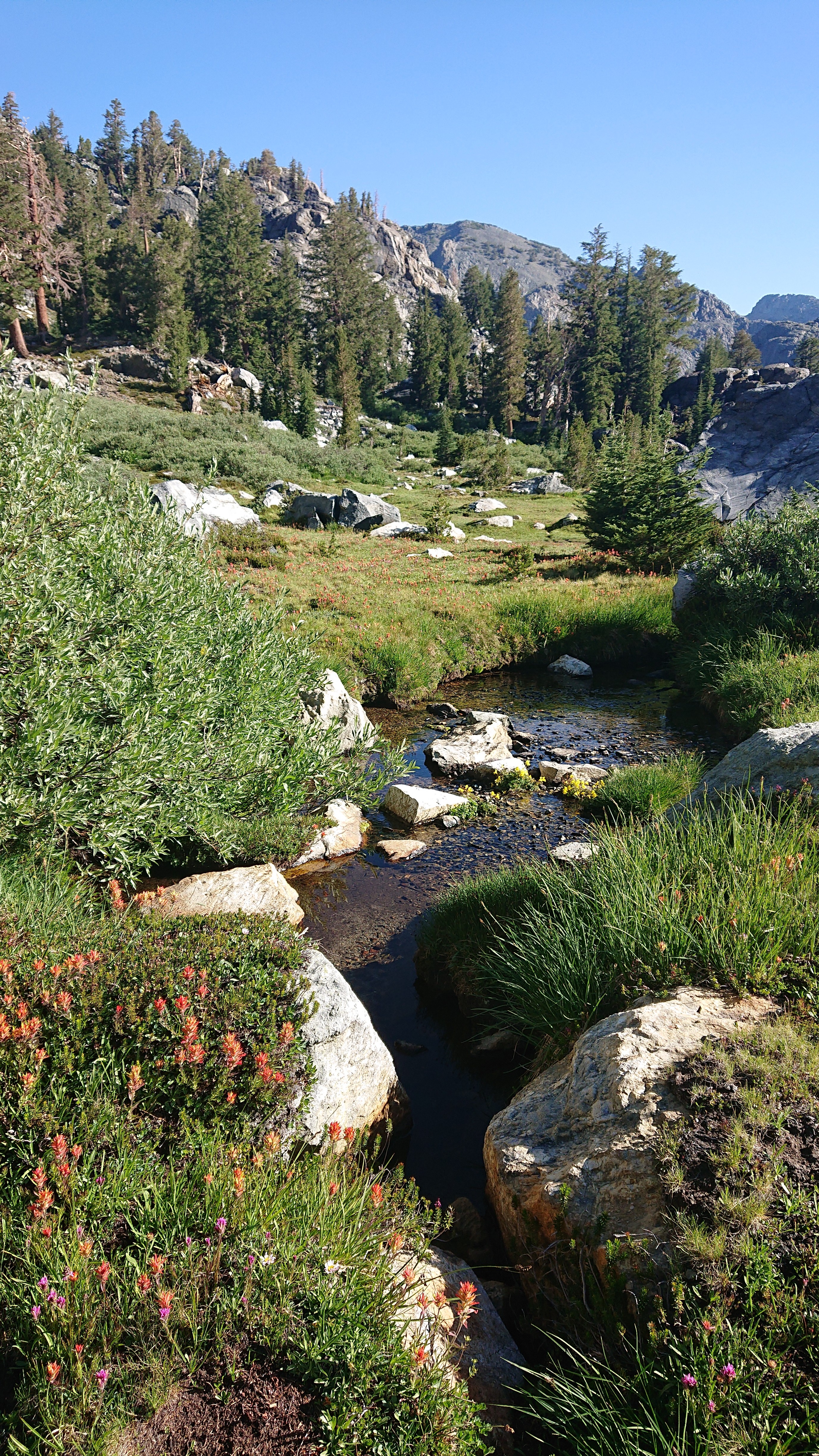
The first lake was Minaret Lake, and it was quite hidden on all sides by mountains.
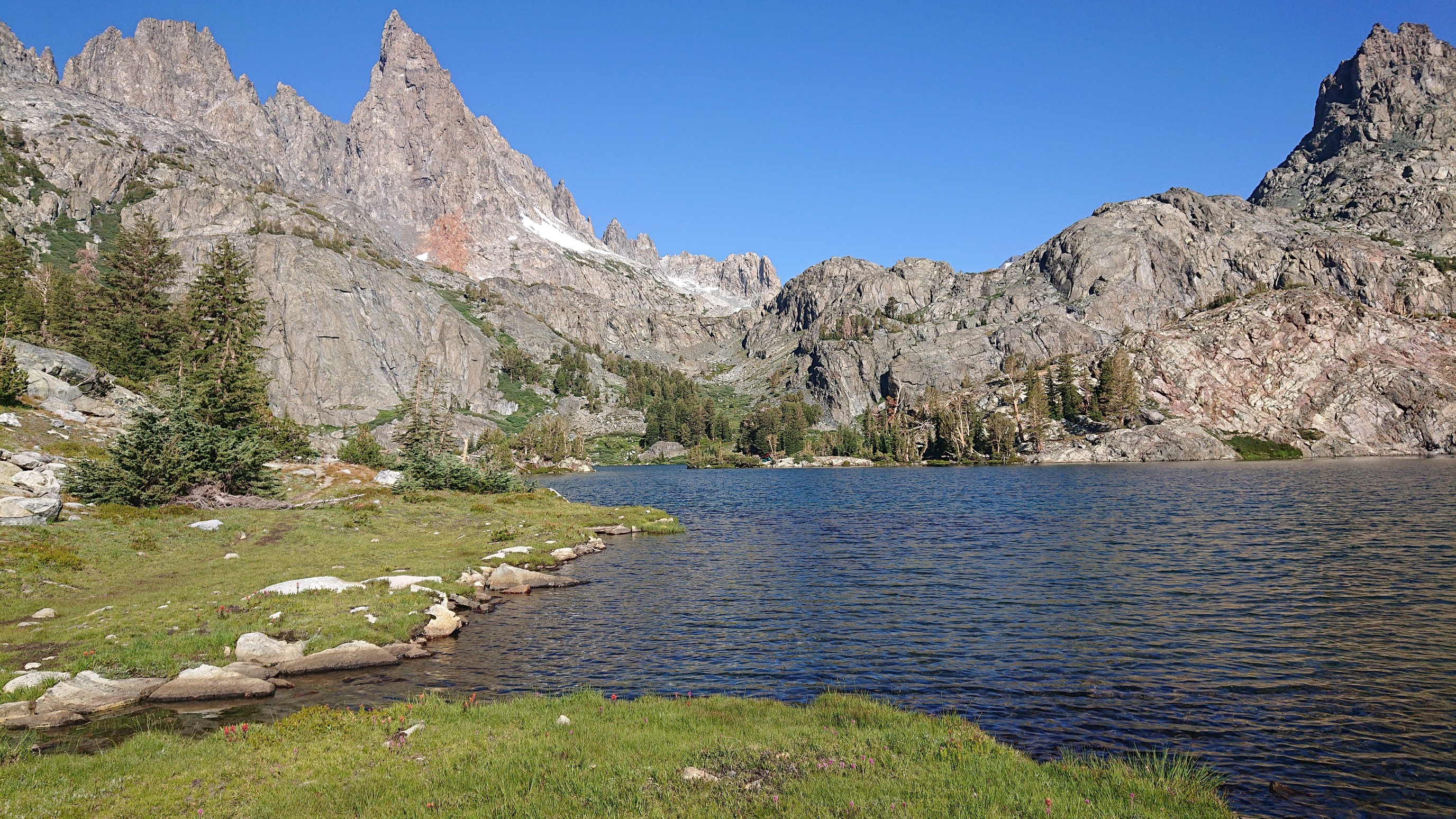
I walked along the southern shore, following a rough use trail.
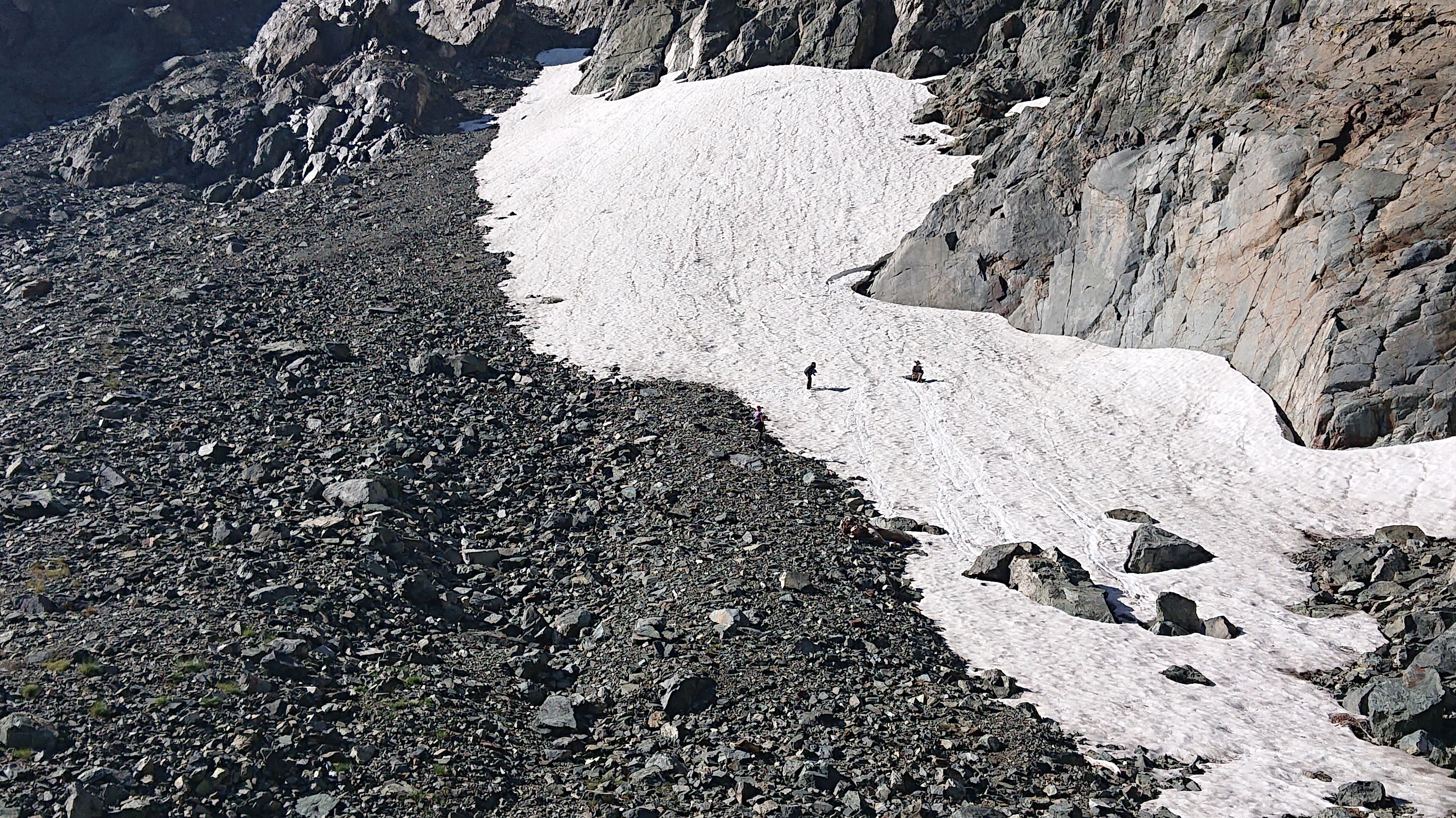
There was a group of three people sledding down a snowfield on their foam sleeping pads. It was pretty entertaining to see!
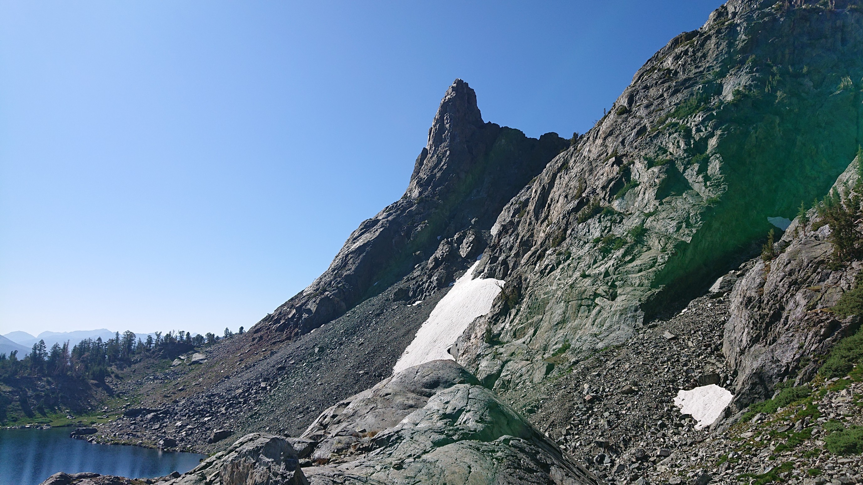
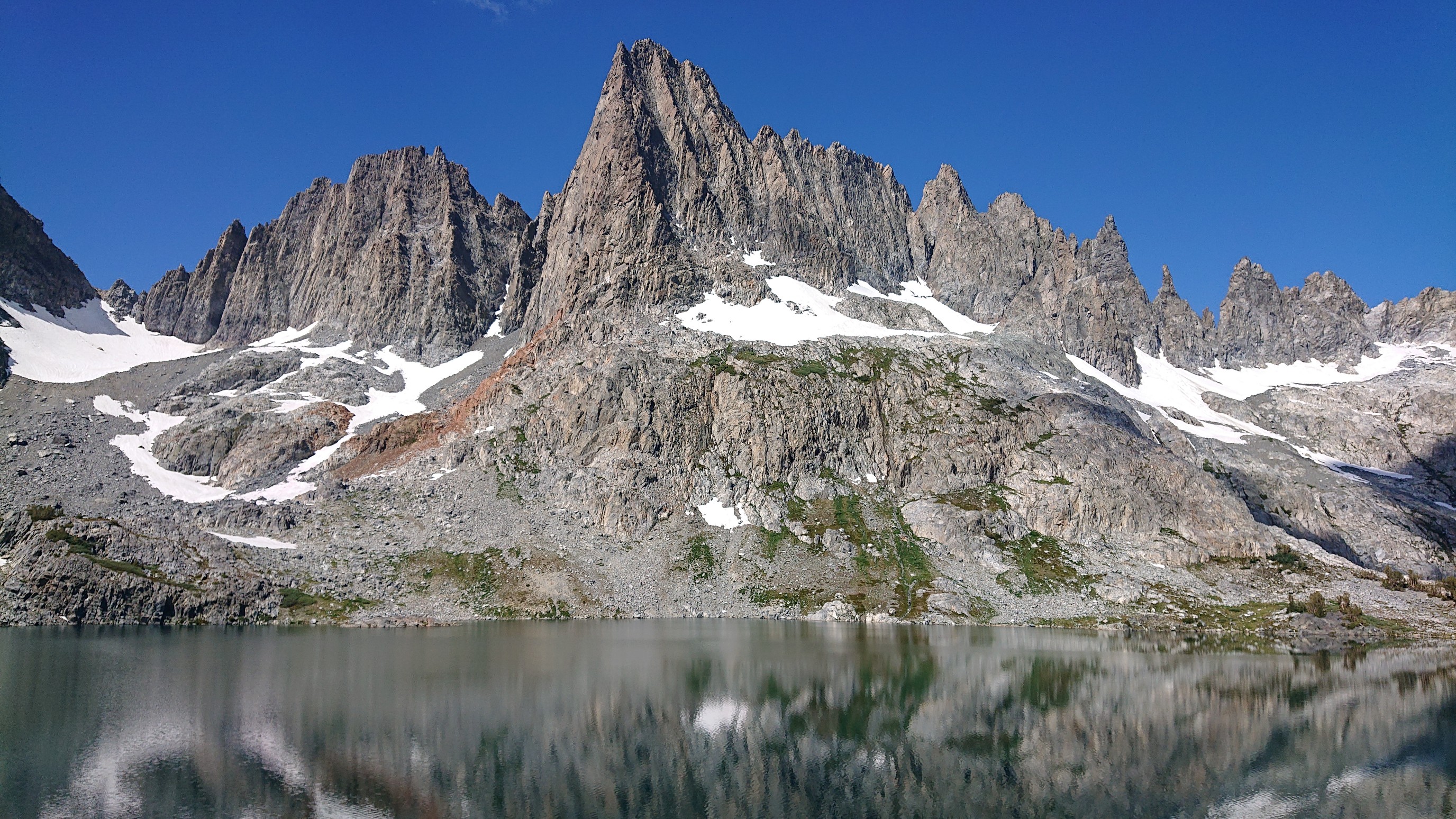
By the time I walked to the other end of the lake, I had a cool view of this pointy peak.
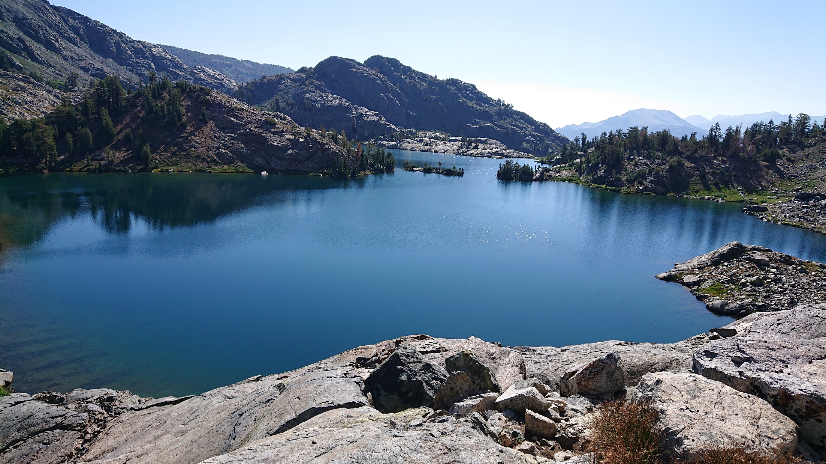
And also of the entire Minaret Lake.
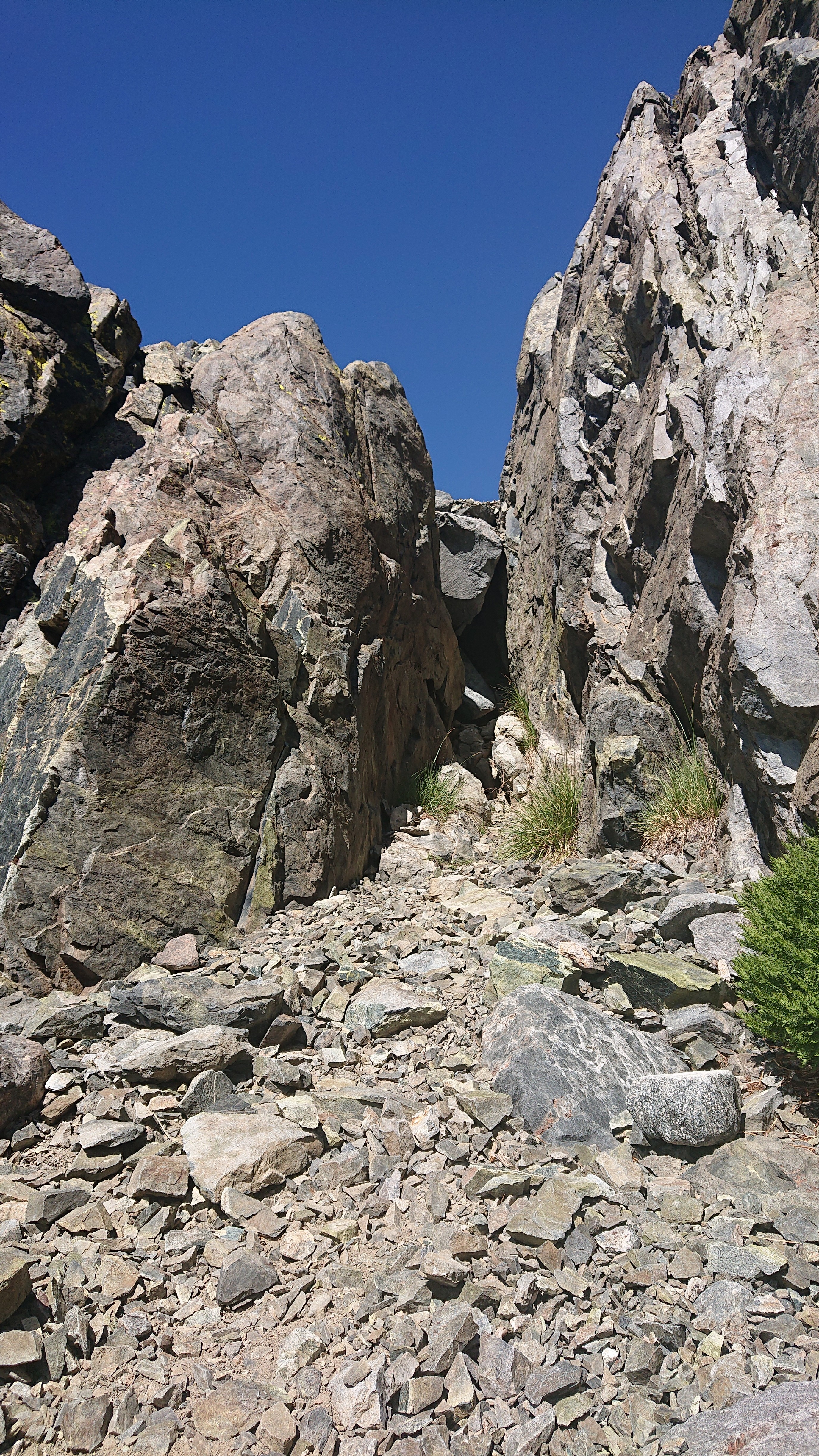
I climbed up to an unnamed pass to get to the next lake, Cecile Lake. There was one short technical “class 3” section, climbing up thru a rocky slot.
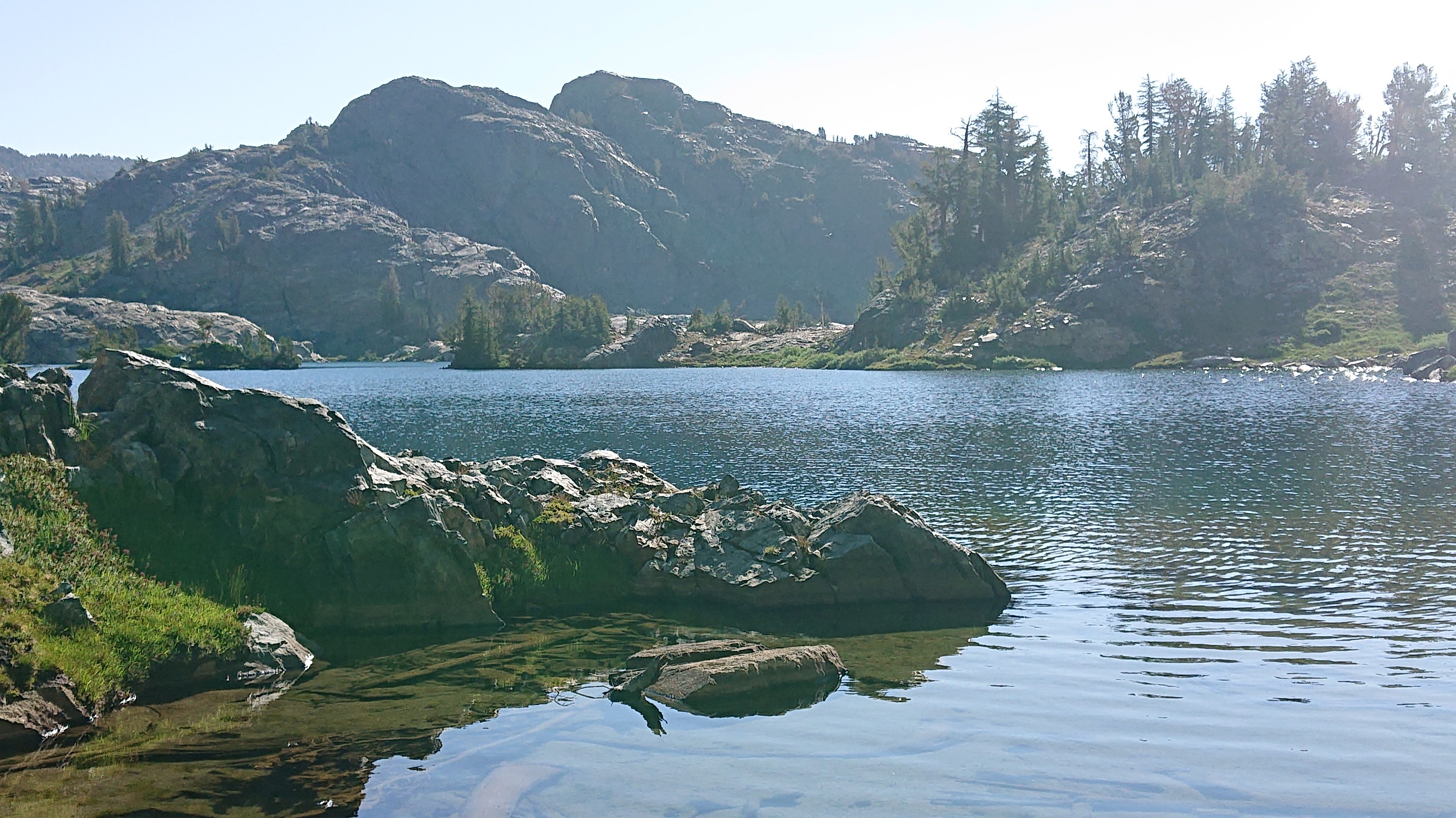
Lake Cecile was very deep.
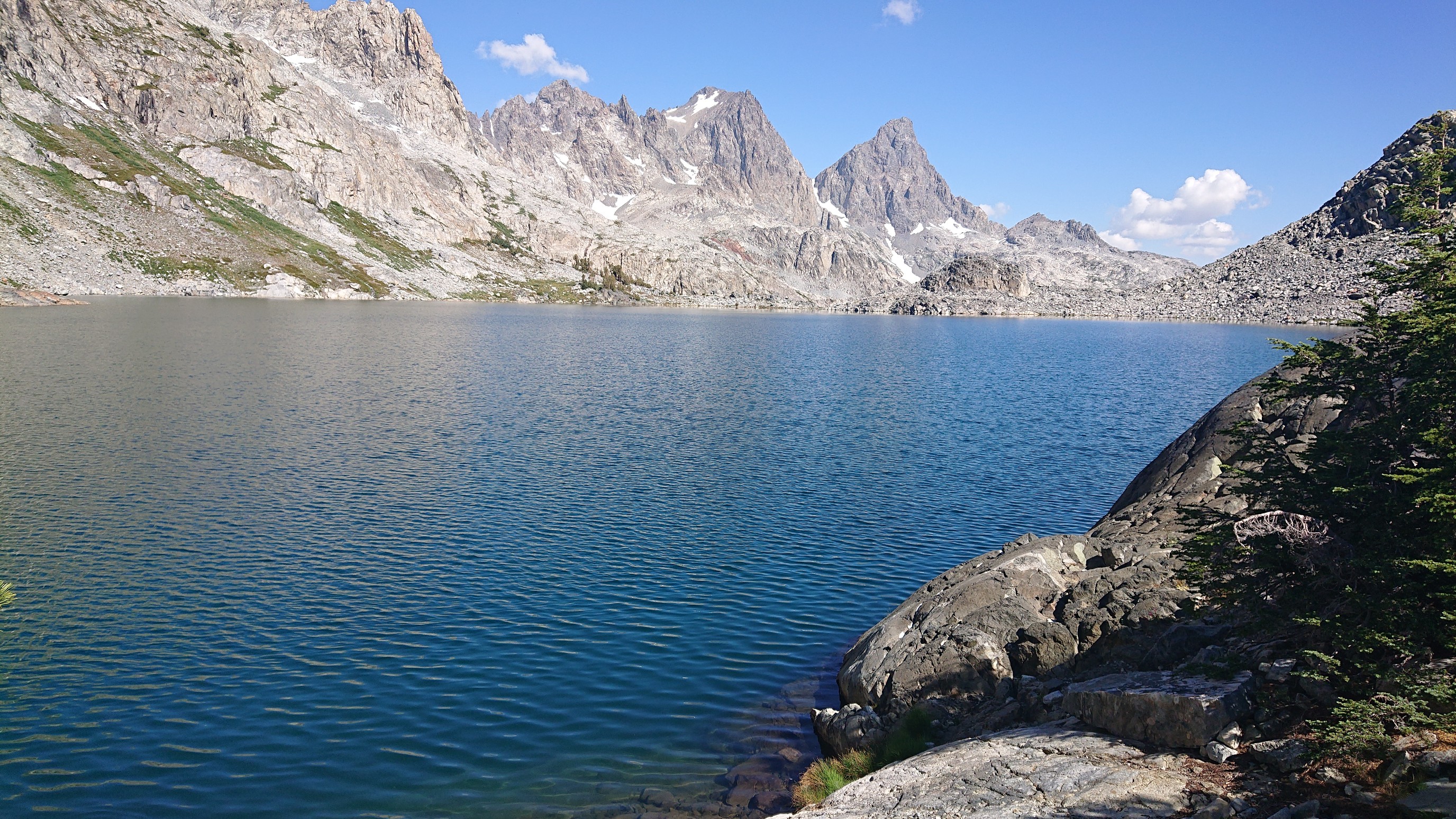
It took me a while to find a spot where I could access the lake to swim.
Feeling refreshed, I tackled the steep descent down to Iceberg Lake. Lots of loose scree.
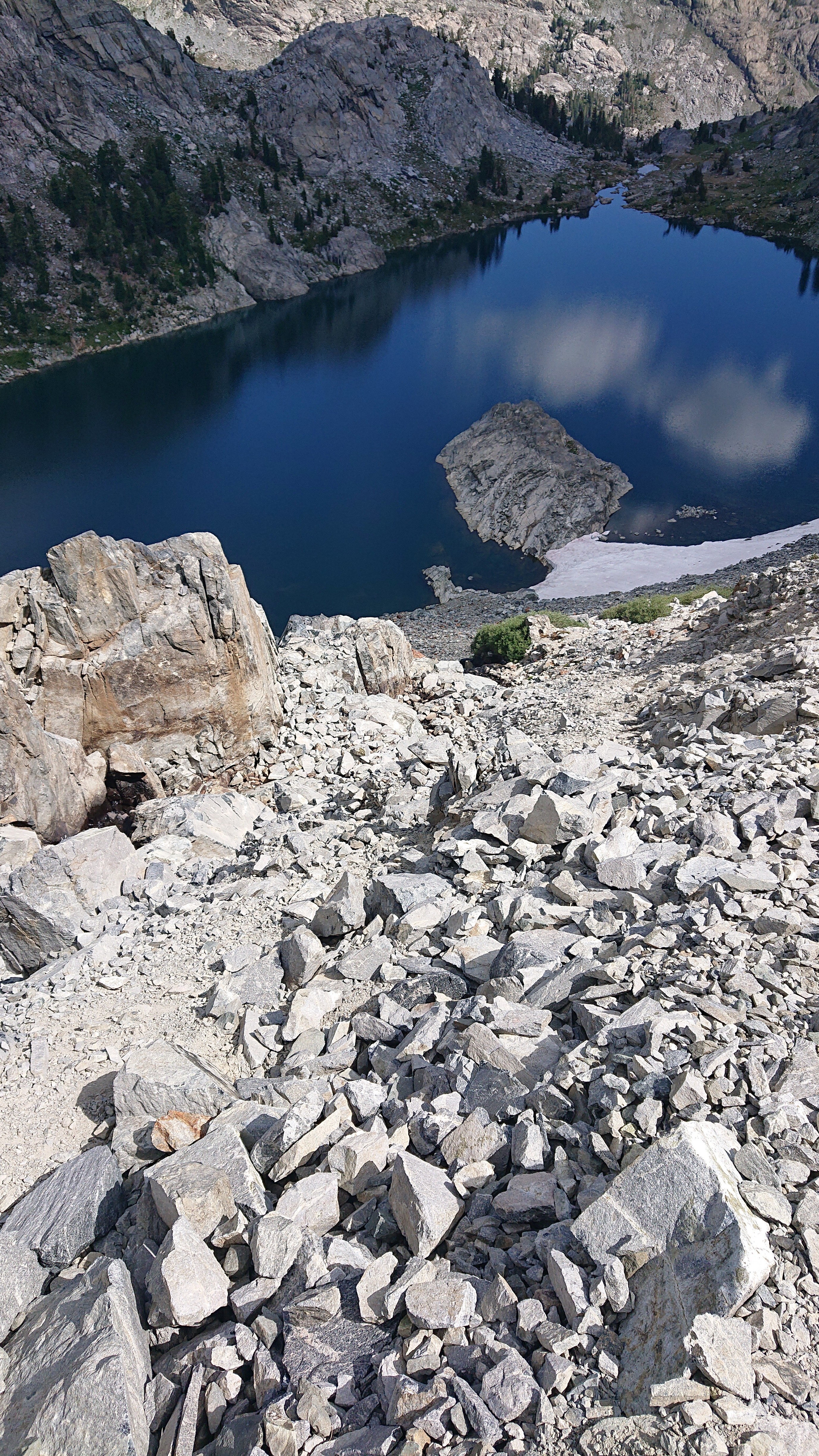
I made it down to the lake easier than I thought, halfway down I found an old use trail. The view from the other end of the lake, looking at the talus/scree field I had just descended.
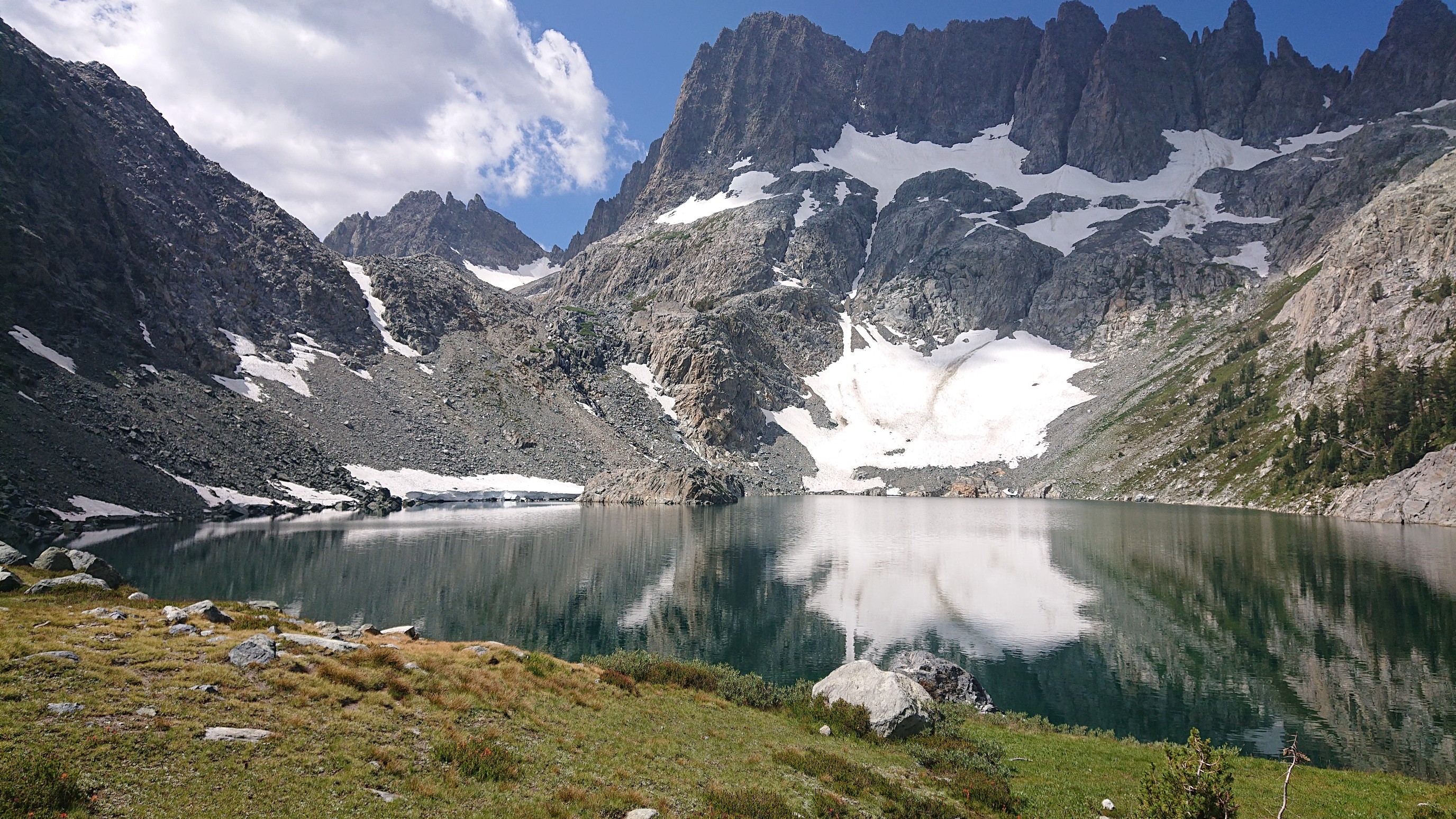
And then I was on a real, maintained trail! Only for a half mile, but it was exciting.
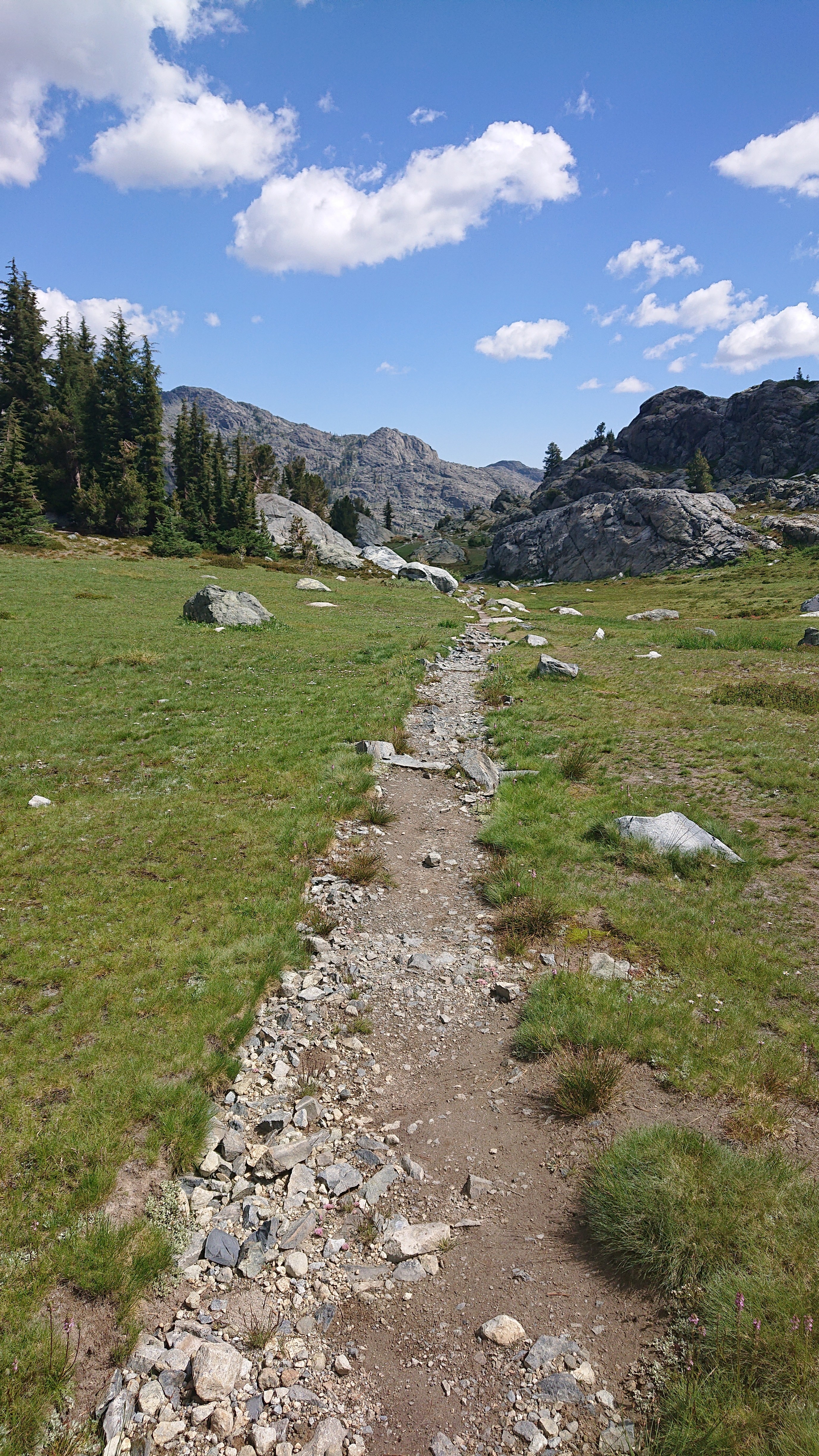
I had a long gradual climb up to Whitebark Pass, thru huge alpine meadows. It reminded me of the North Cascades.
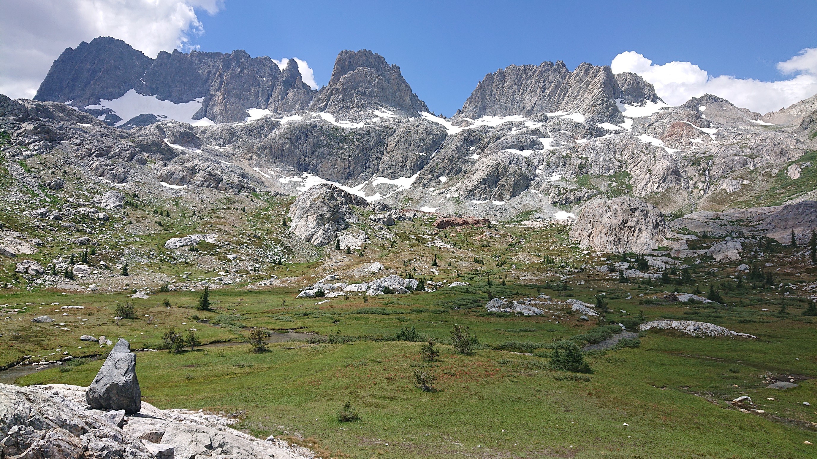
I stopped for lunch at the top of the meadows, and had a great view of Mount Ritter (left) and Banner Peak (right).
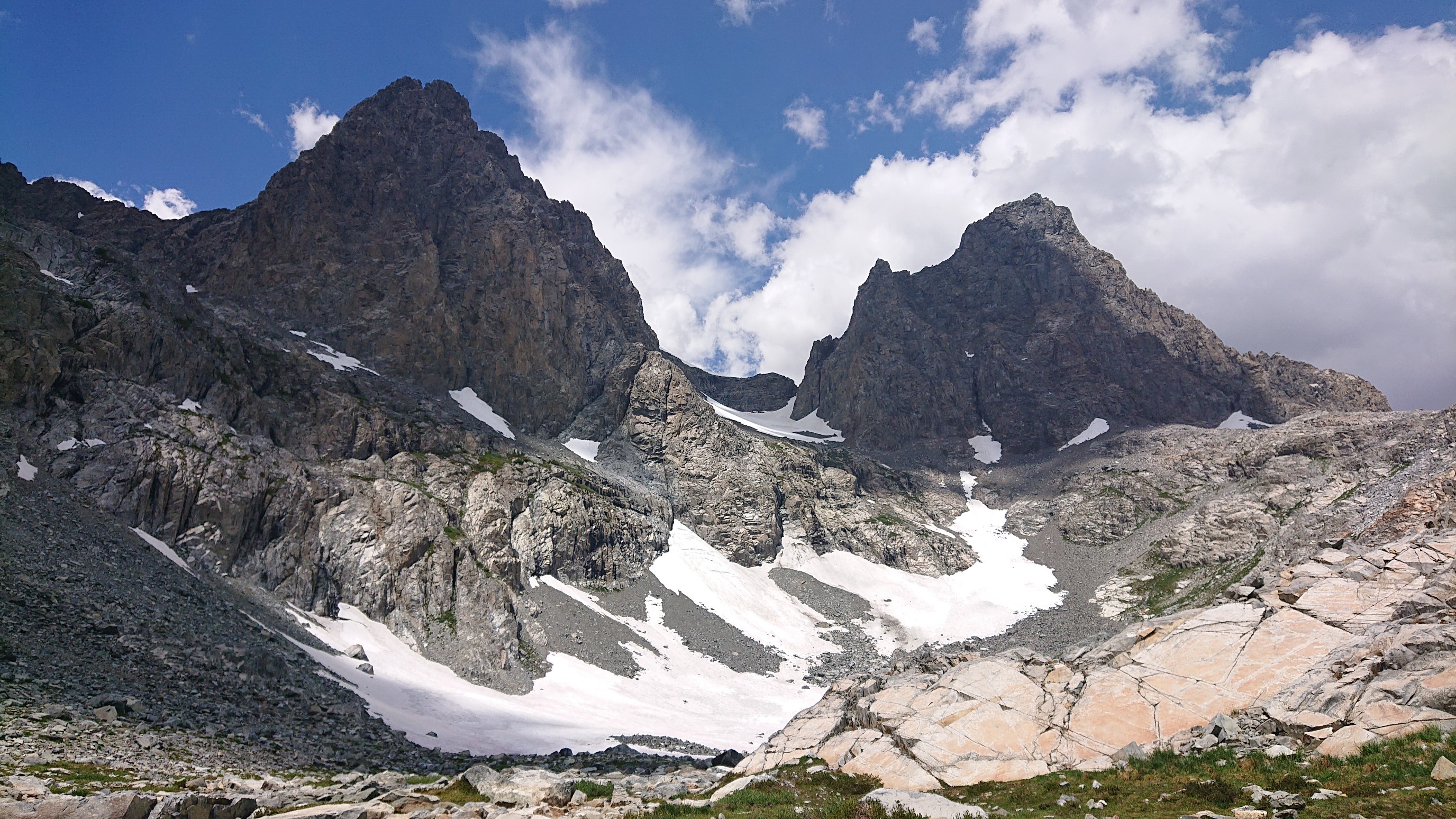
I continued my trek up to the pass, traversing the Nydiver Lakes along the way.
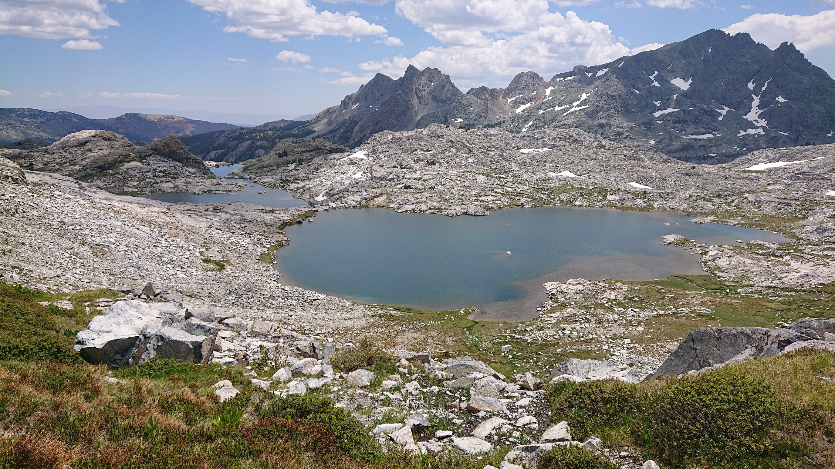
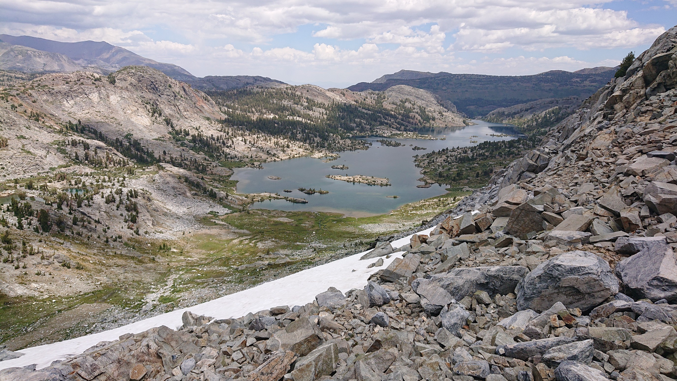
Finally, I reached Whitebark Pass, it was easy, just a long slow hike up. It had a unique view down to Garnet Lake, which I’ve seen from another side on the JMT.
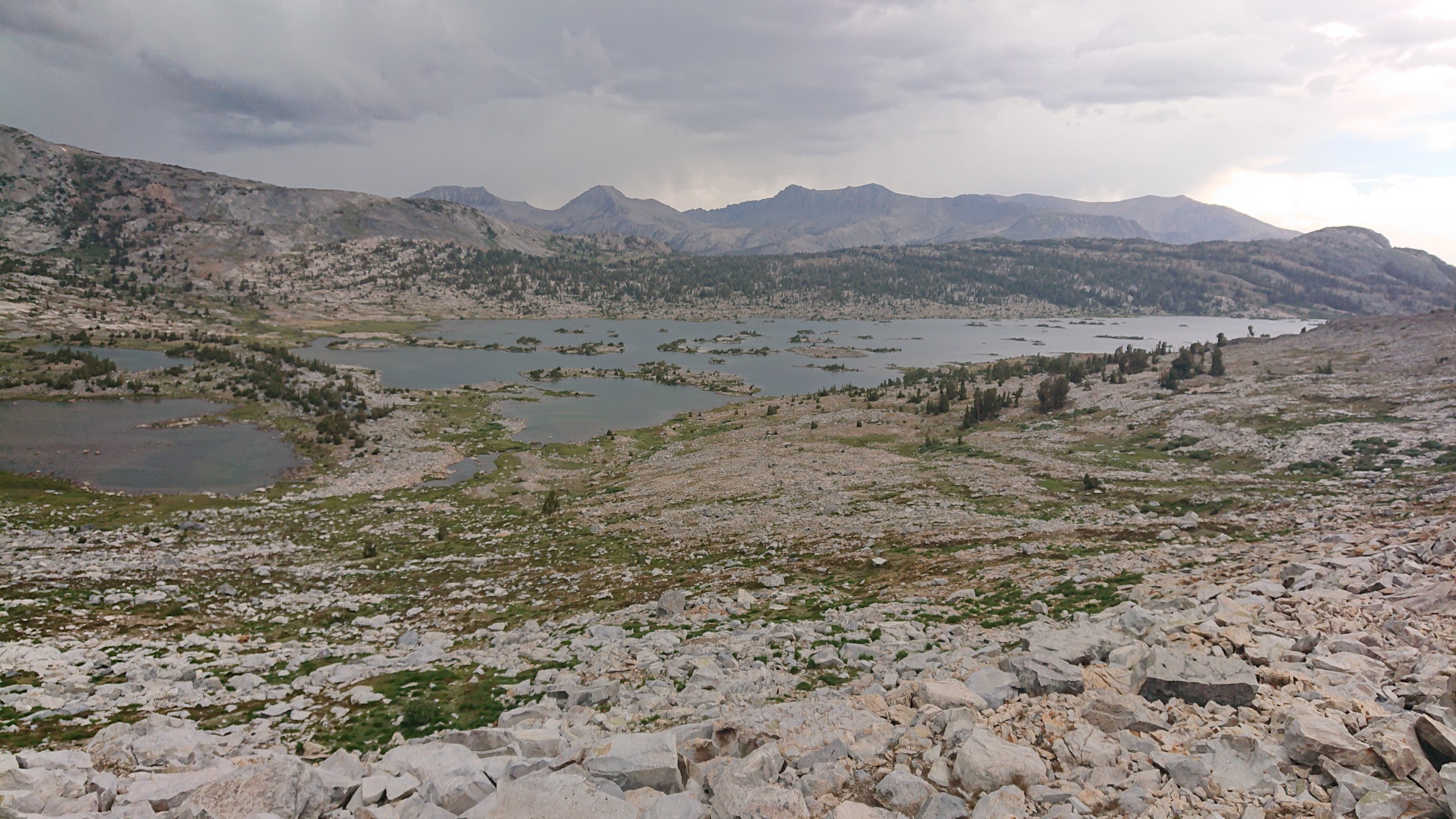
With thunderclouds forming, I quickly scurried over to the next unnamed pass a mile away. It had a view down to Thousand Island Lake, which I’ve also seen the other side from the PCT/JMT. The route goes down the strip of land (isthmus) on the left side.
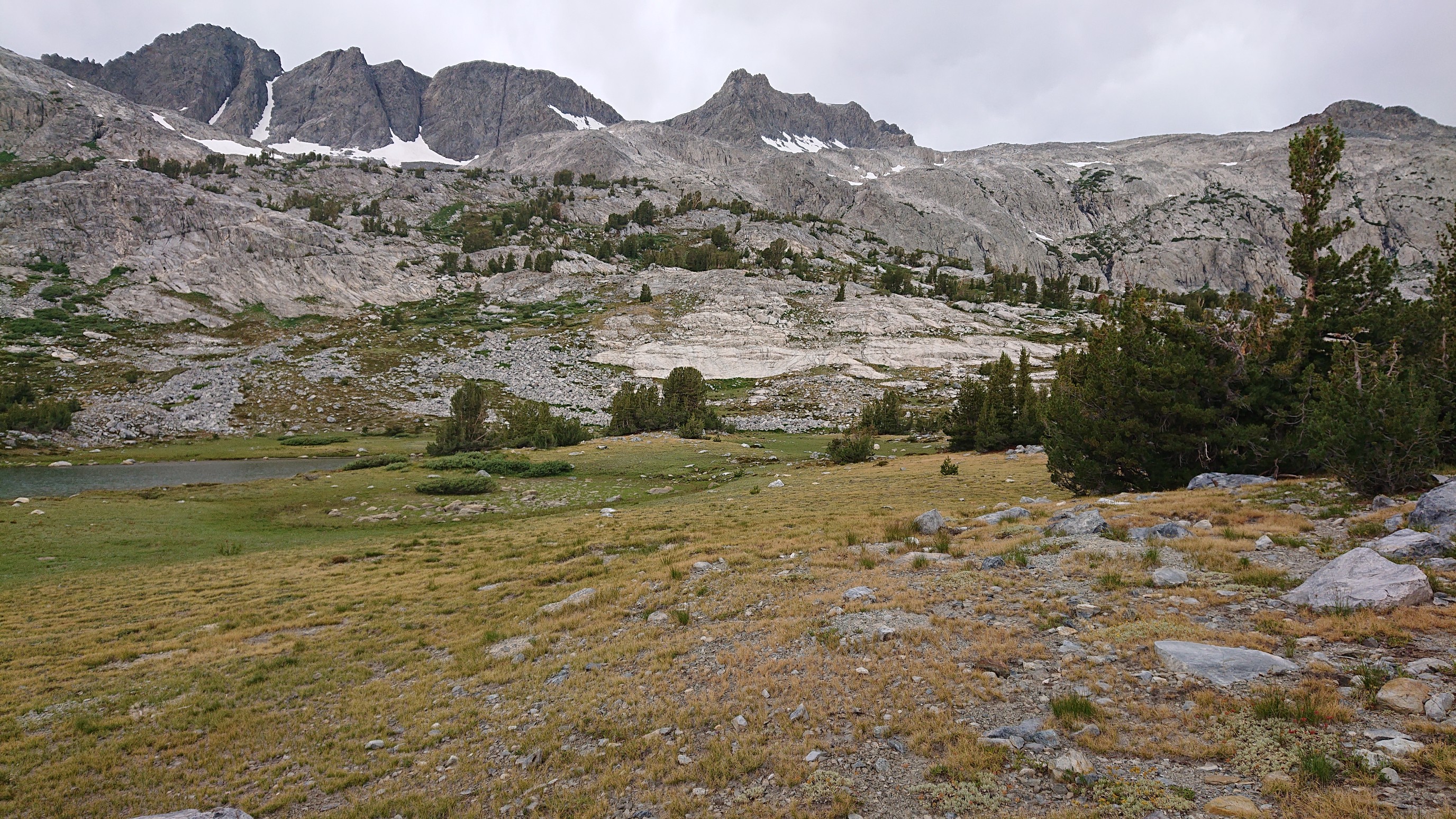
Walking the isthmus was pretty great, as far as isthmus walking goes.
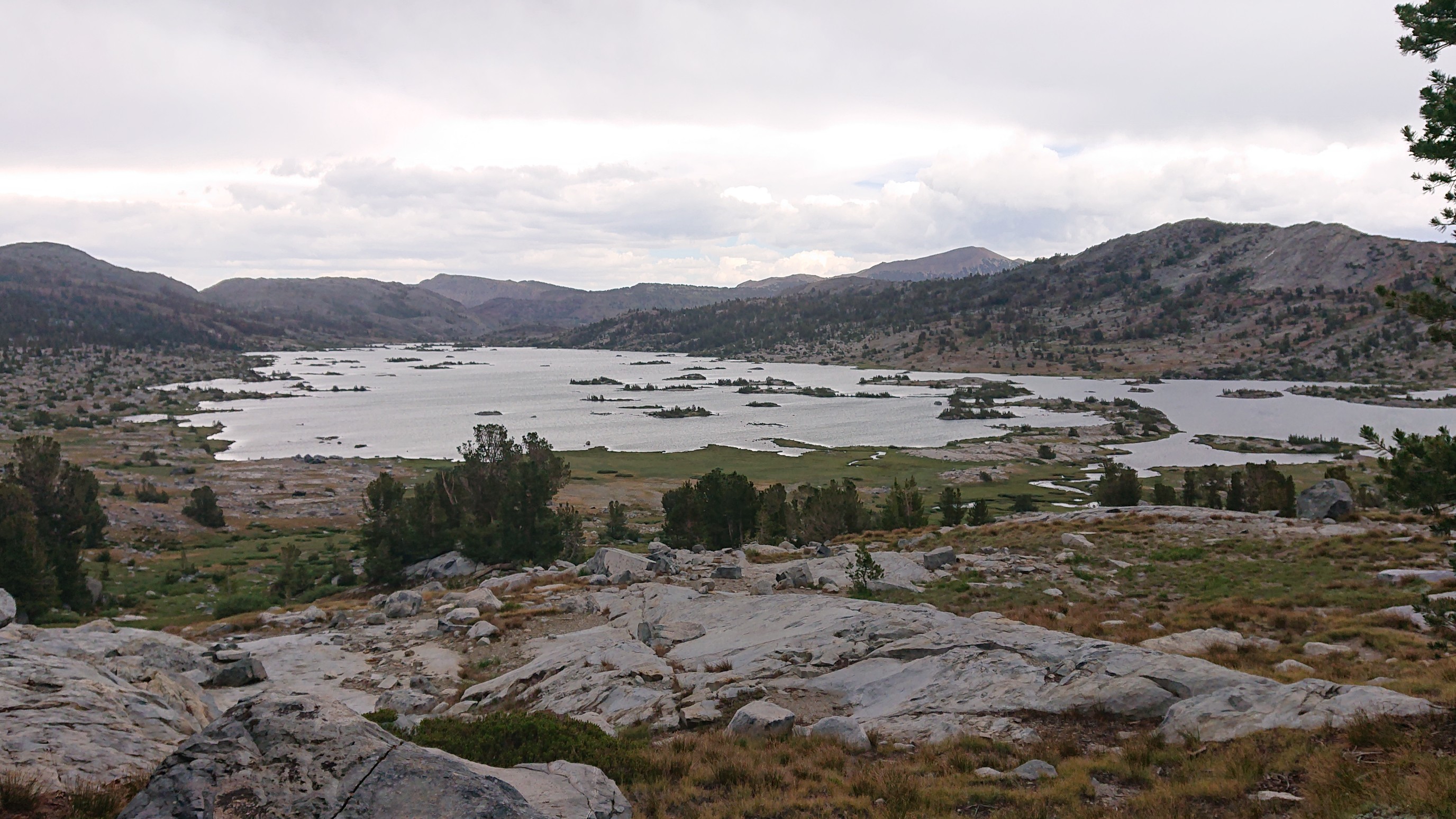
Before I left the lake I took one last photo, it shows all the little islands.
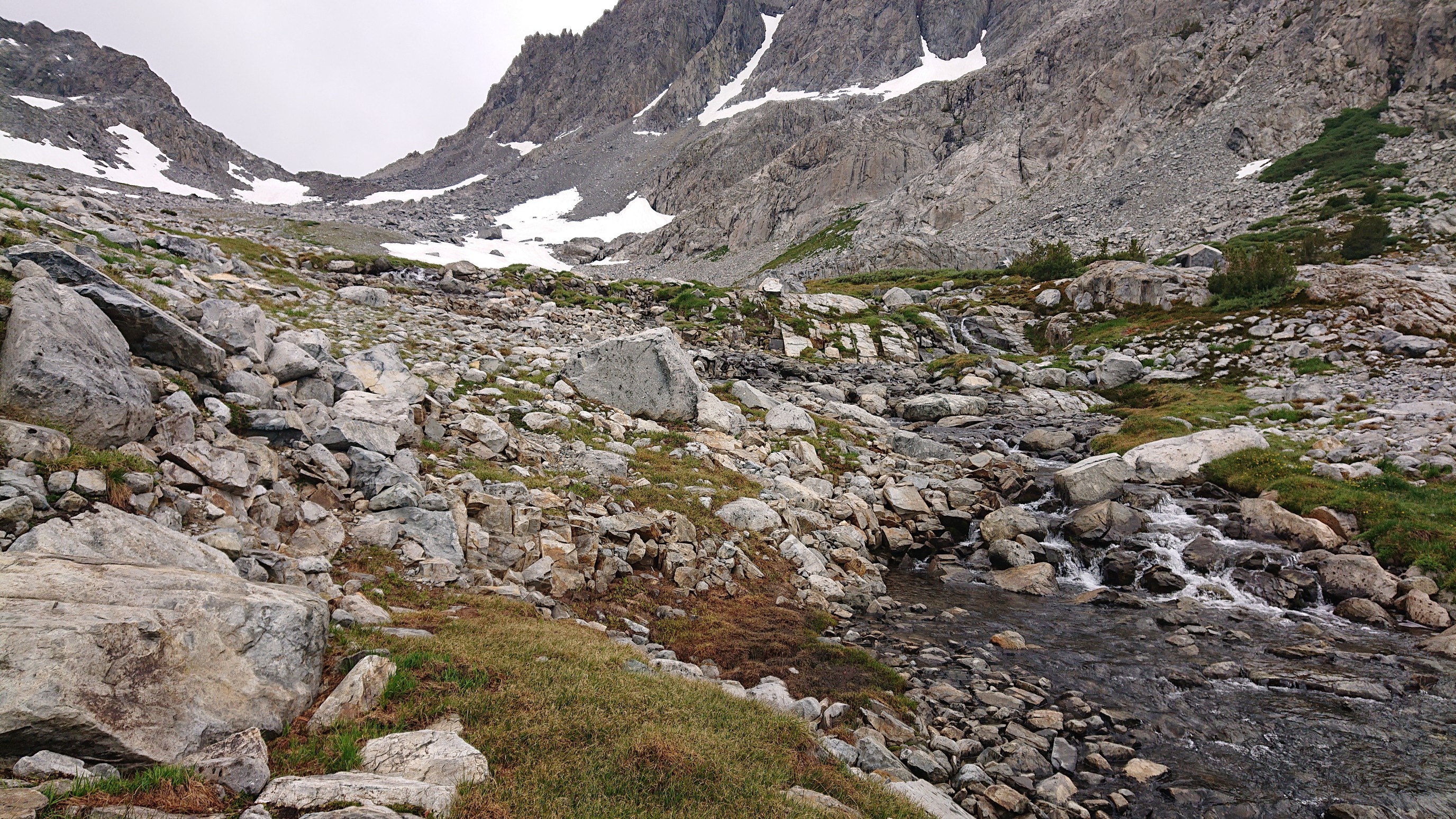
Then, up to Glacier Lake Pass! I hiked along the Middle Fork San Joaquin for a mile to it’s headwaters.
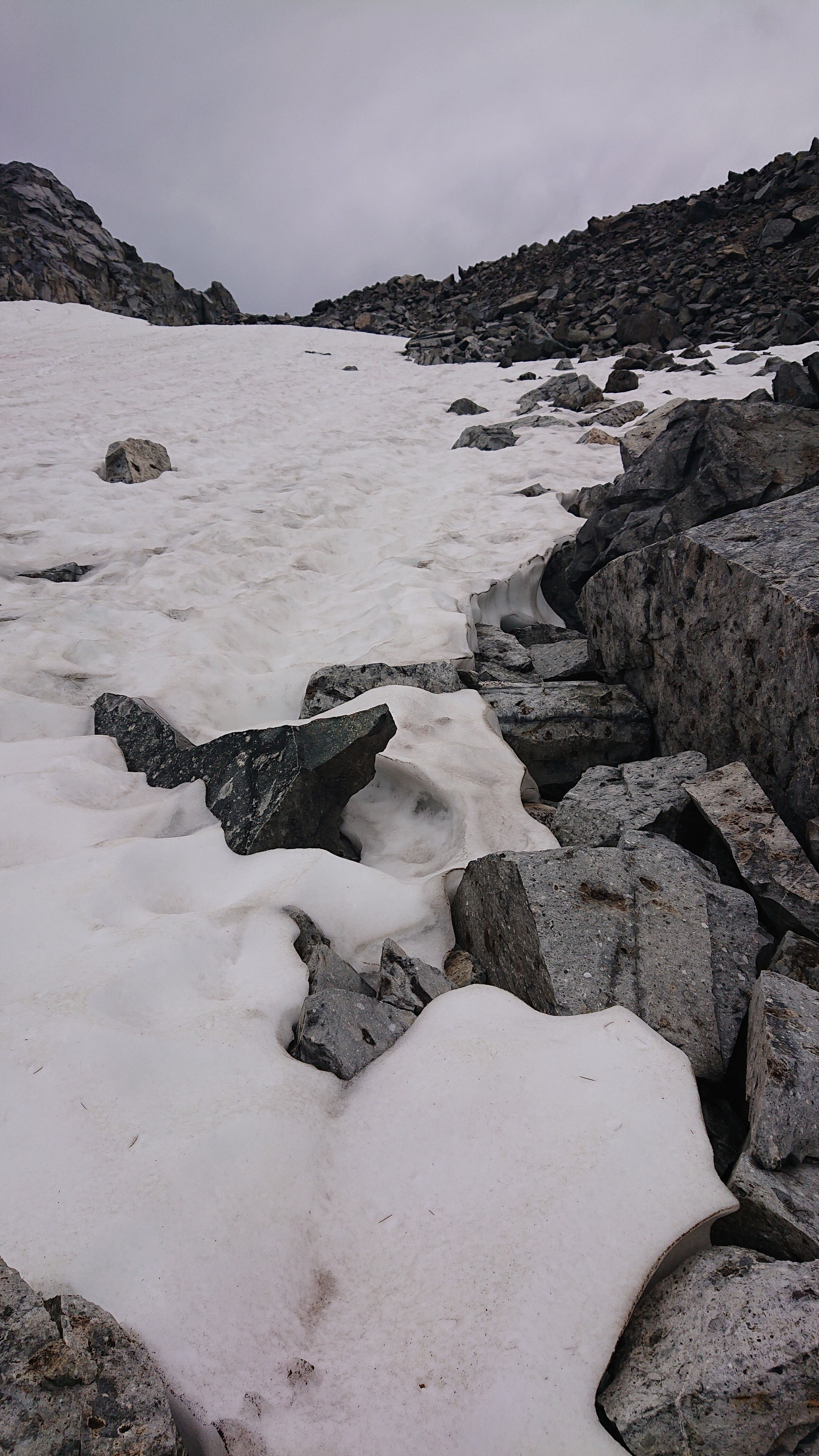
At the very top, there was even some snow left.
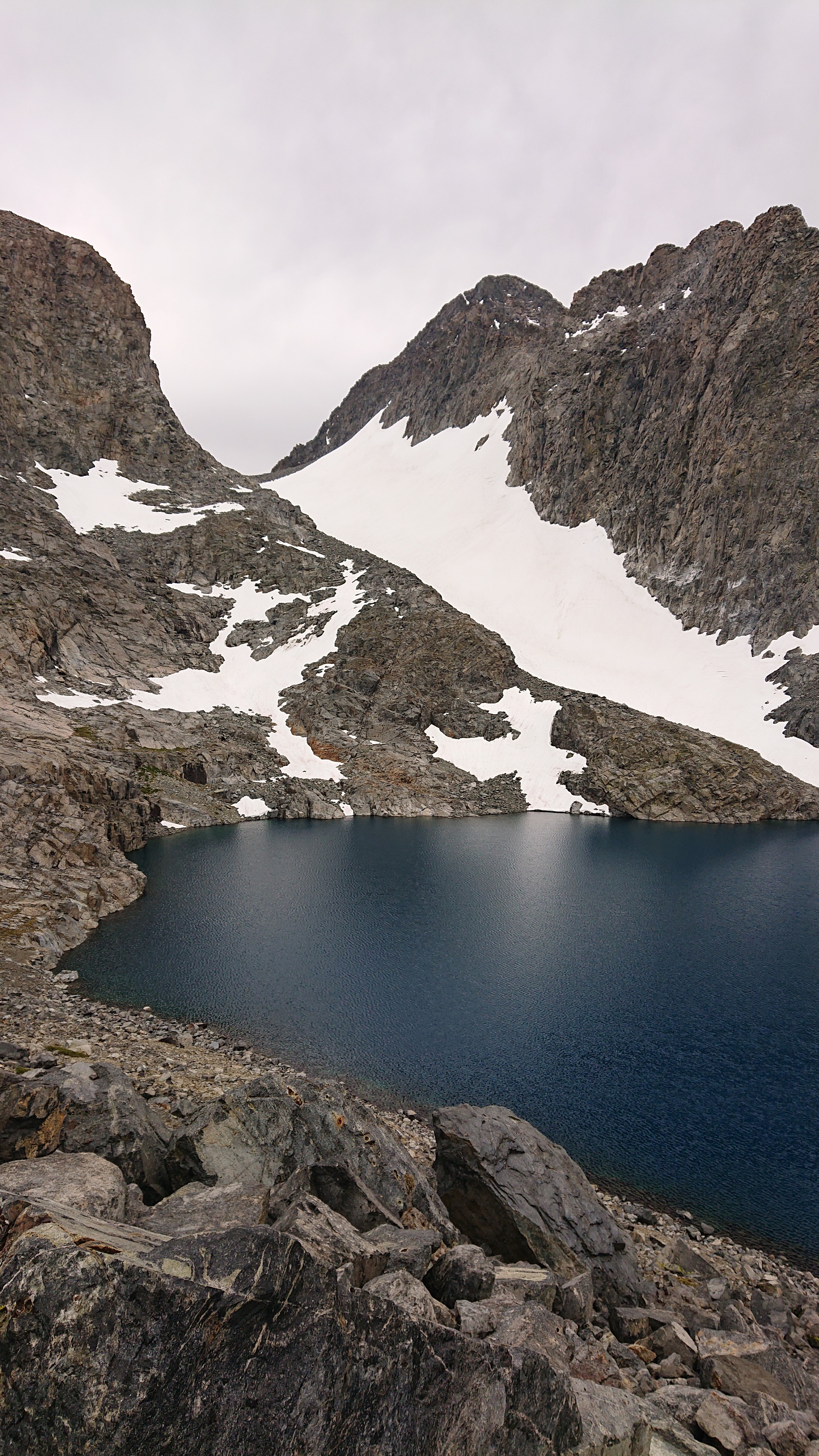
The view from the top of Glacier Lake Pass is just rocks and Lake Catherine.
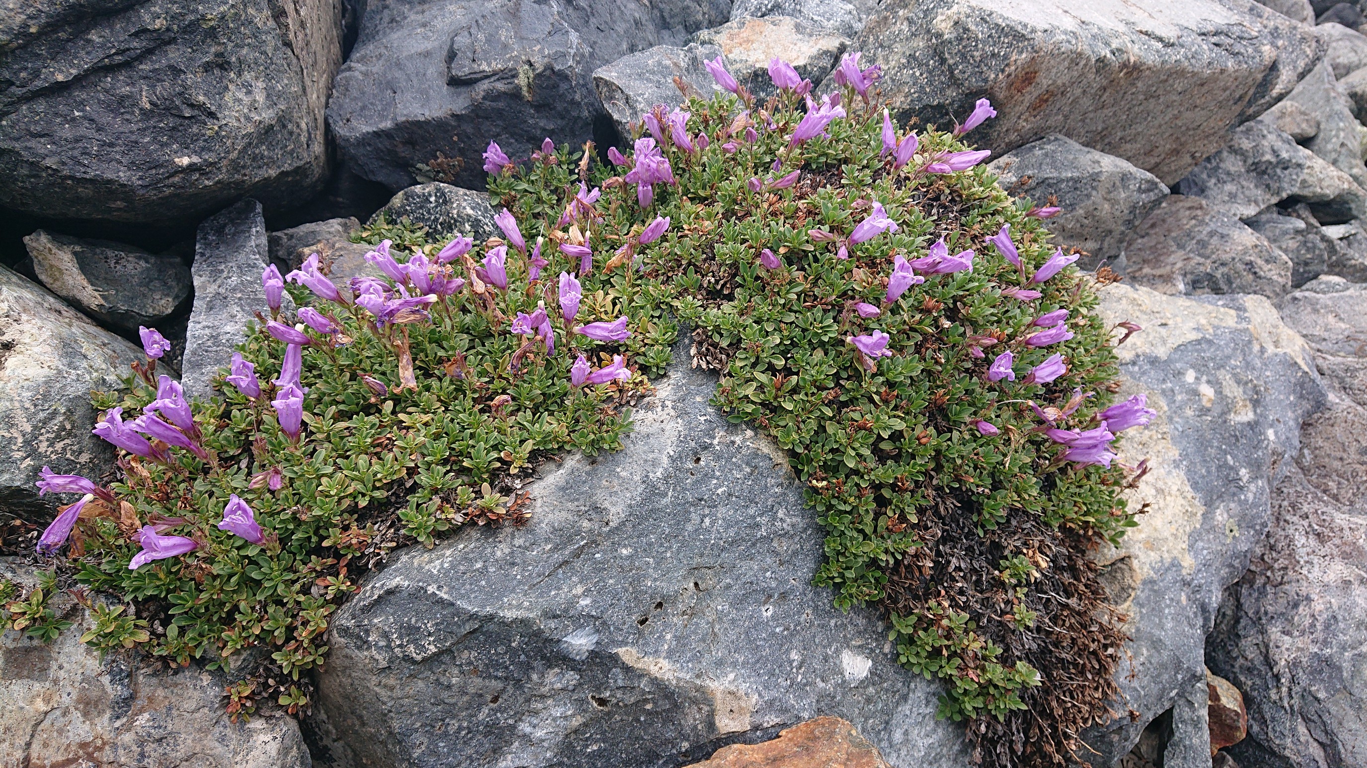
I had a quick descent to the lake, since it’s only 100 feet. I did spy one little spot of greenery, a determined little patch of flowers up here at over 11,000 feet.
The traverse around the lake wasn’t quick. Thanks, talus.
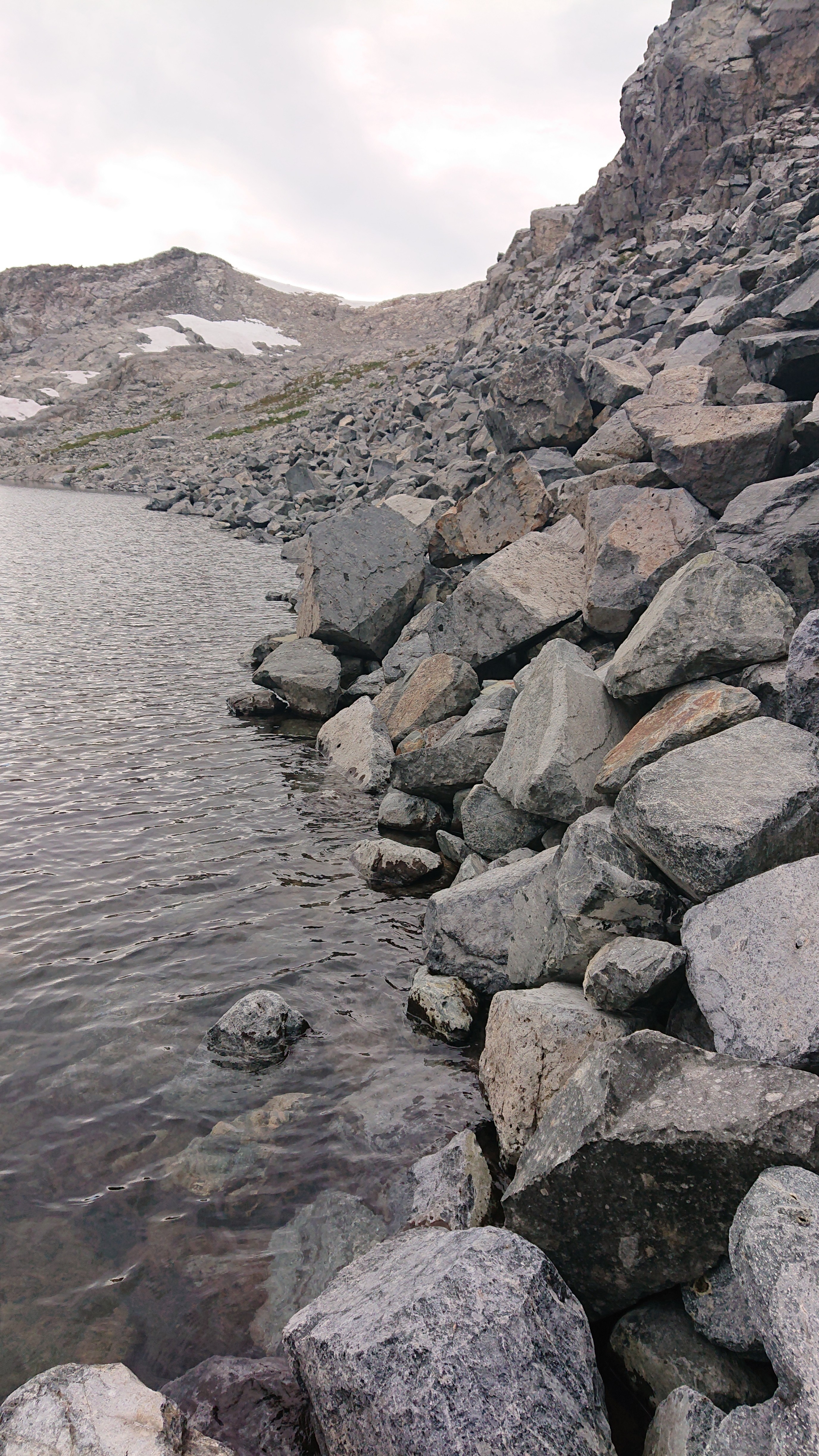
It was almost 6pm so I was looking for a campsite, but it was talus everywhere.
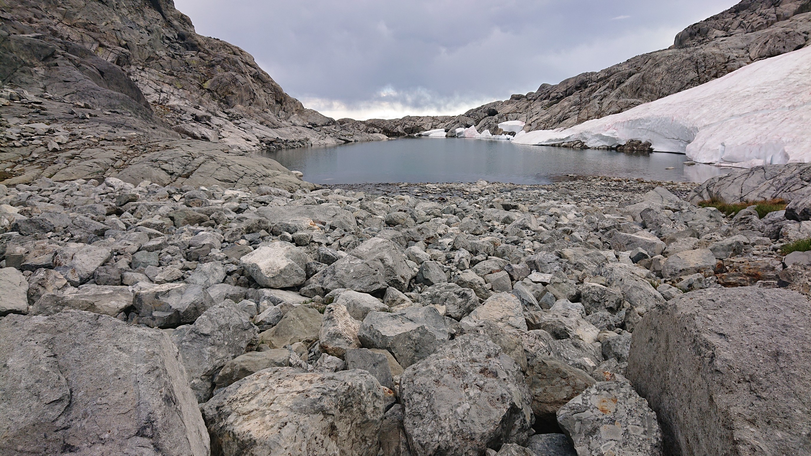
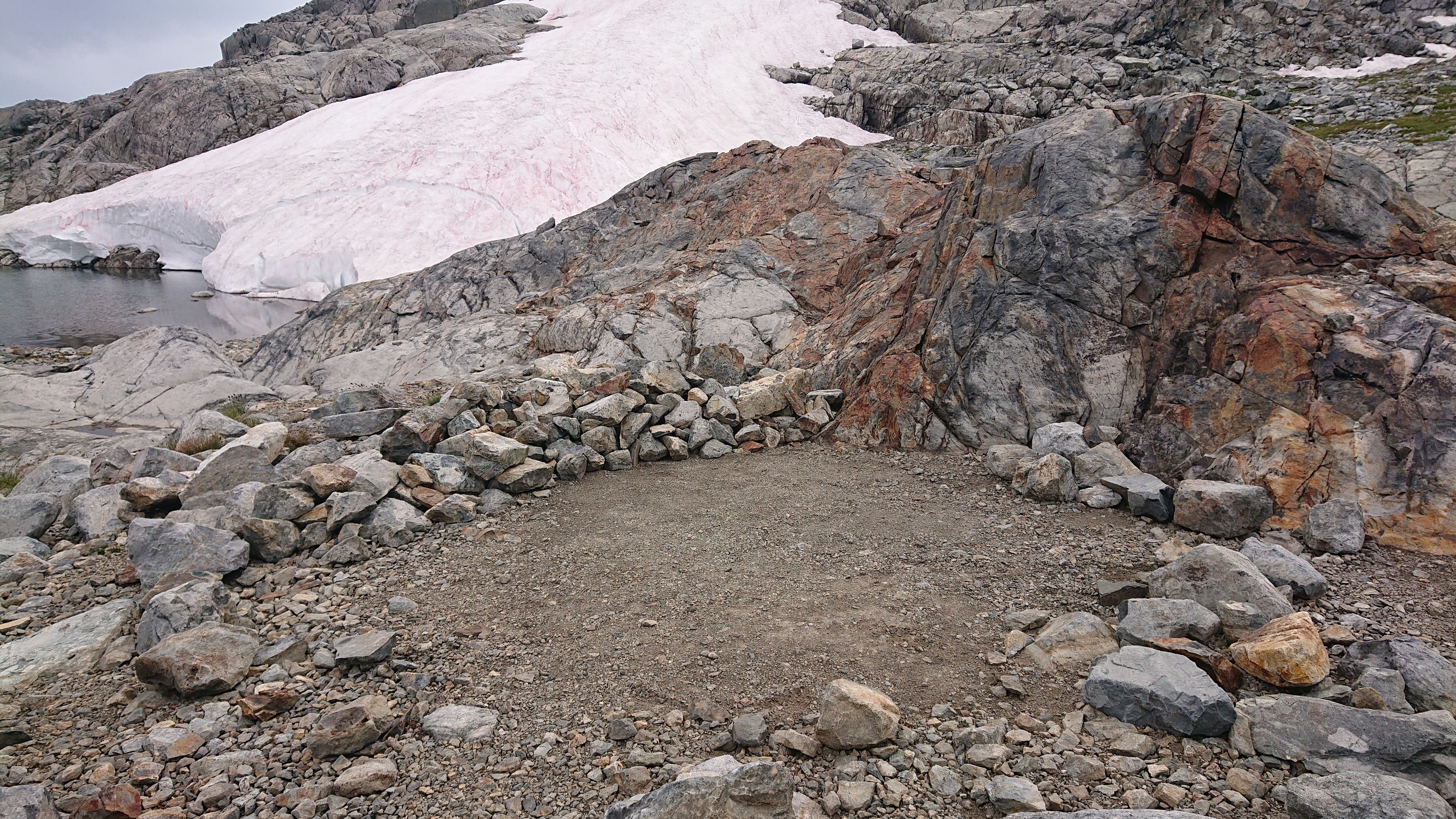
I searched around for 10 minutes, and what a great surprise, someone had cleared out a little tent spot! It’s like Christmas!
So I made camp by the outlet of Lake Catherine.
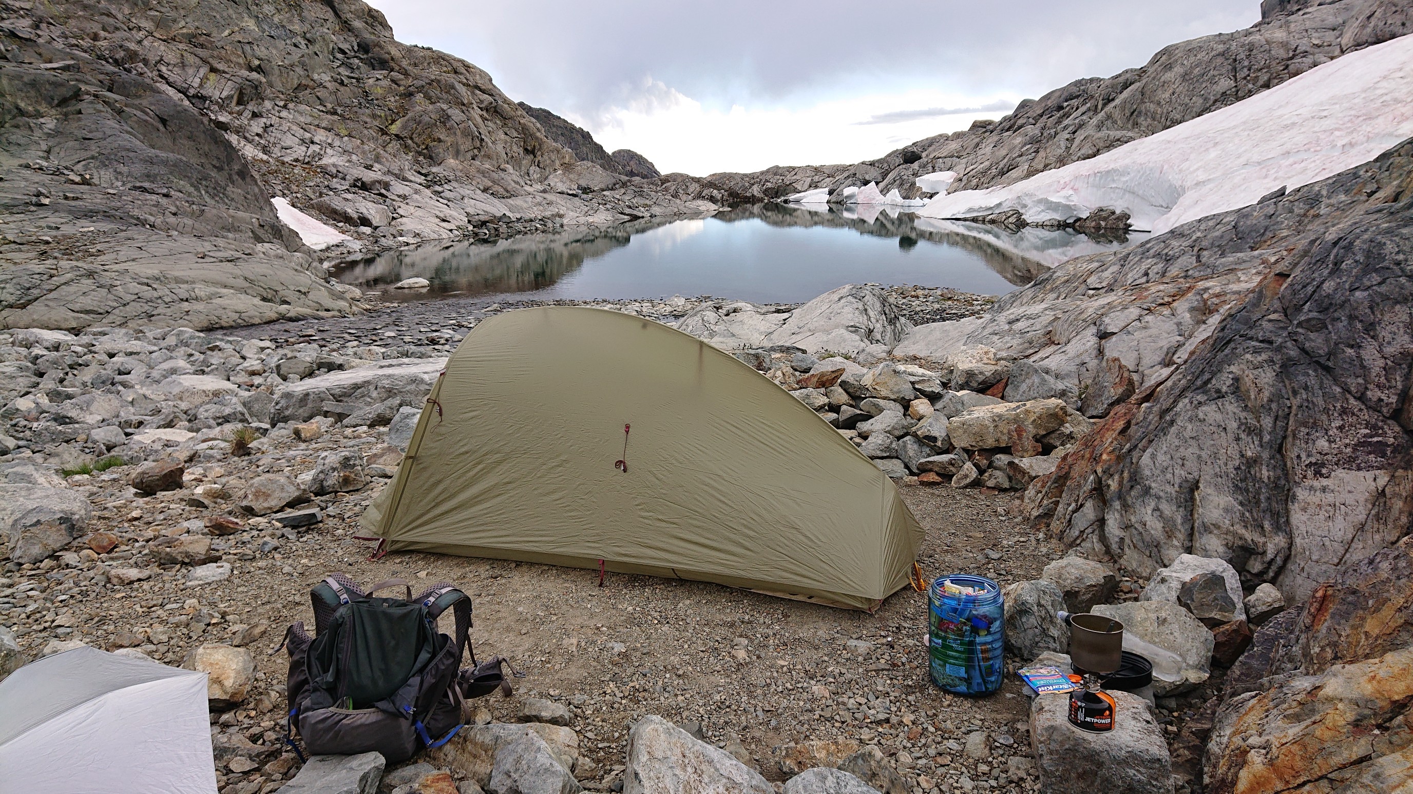
As I was finishing dinner, a group of three people came by. I was very surprised, since this spot is 3-4 hours from a trail in either direction. I met Cypress, Blanc, and (?) who are out here for two weeks doing a backcountry route thru the northern Sierras.
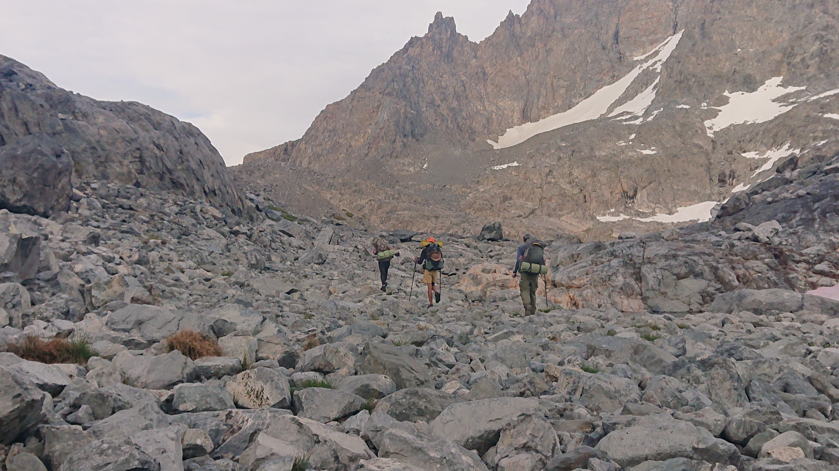
They said it took them over 3 hours to navigate up here from Twin Lakes (only 2 miles away) due to the maze of slabs and cliffs. Hmmm… tomorrow’s puzzle!