Monday July 27, 17.6mi/28.3km
Rafferty Creek (162.3/9510ft) to Lee Vining Creek (176.5/10,080ft) (CA) + 3.4mi for Tuolumne
I was moving down the trail at 7am, excited for some town food at the Tuolumne Store. It’s a convenience store with an attached small takeout restaurant, and I was looking forward to a breakfast burrito.
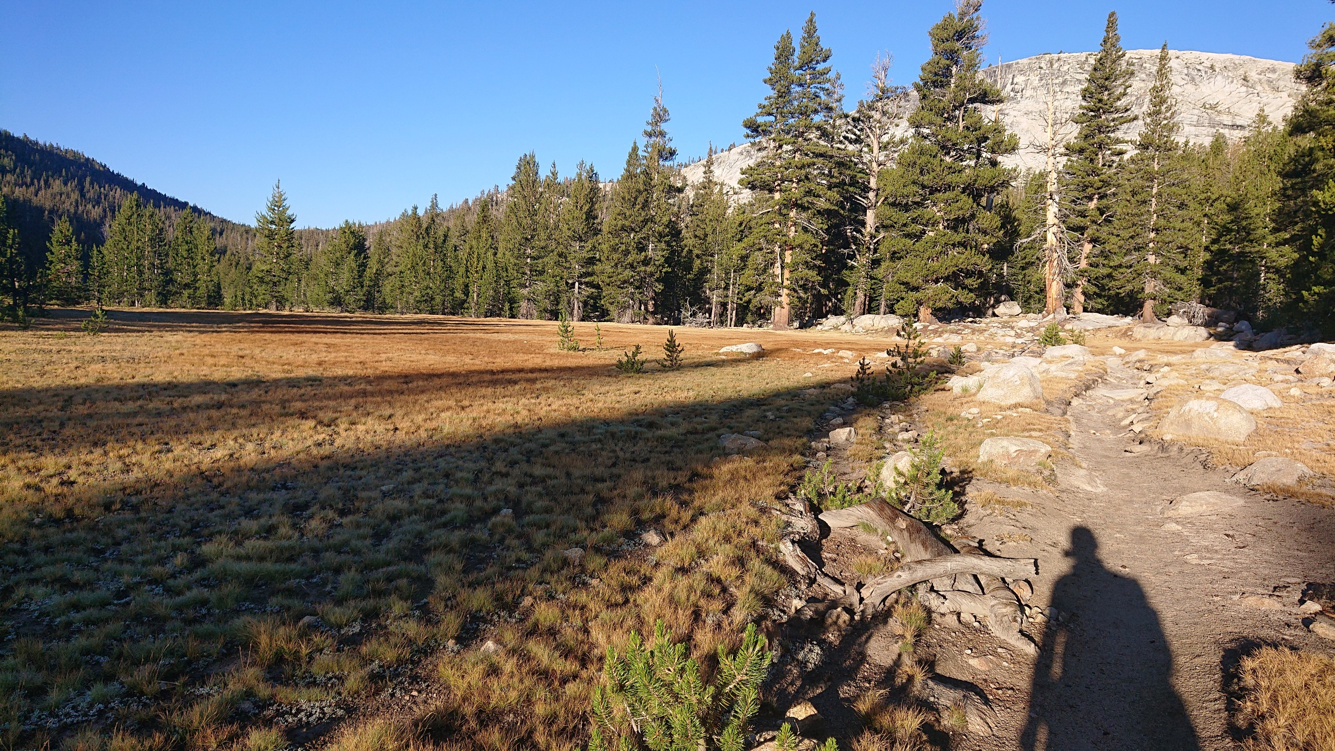
As I got closer, I started seeing signs of civilization.
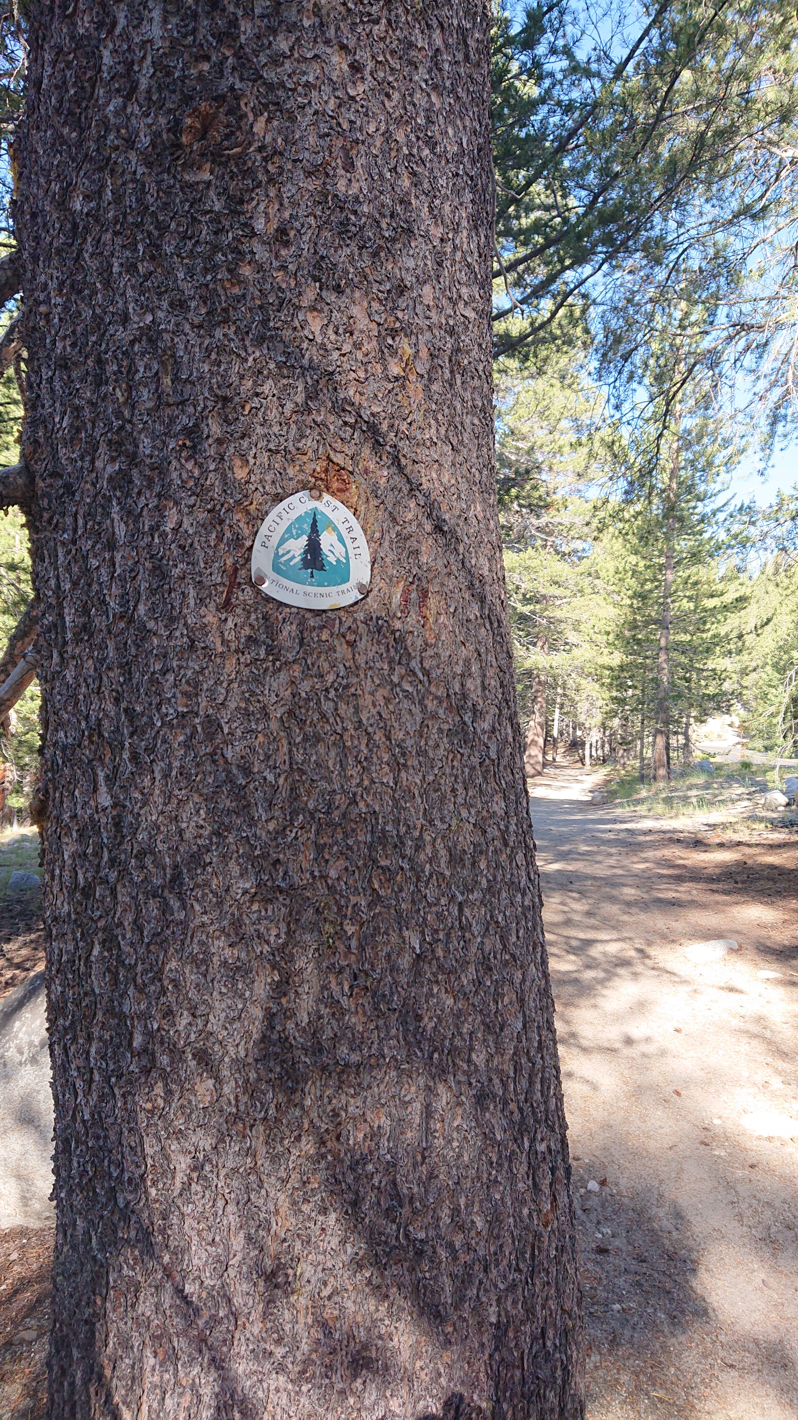
I joined the PCT for just over a mile. These markers always make me smile.
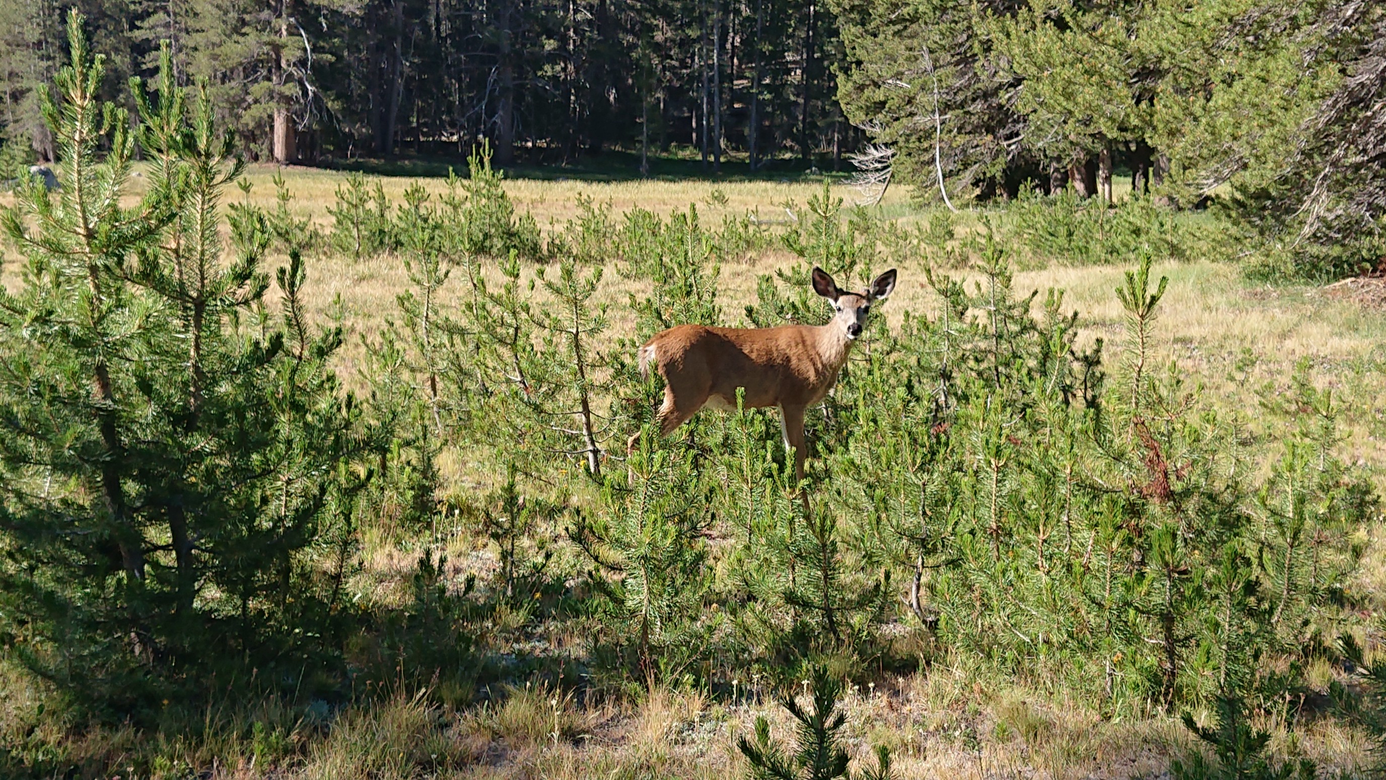
The meadows were full of hungry deer, already enjoying their breakfast. I had one more mile to mine.
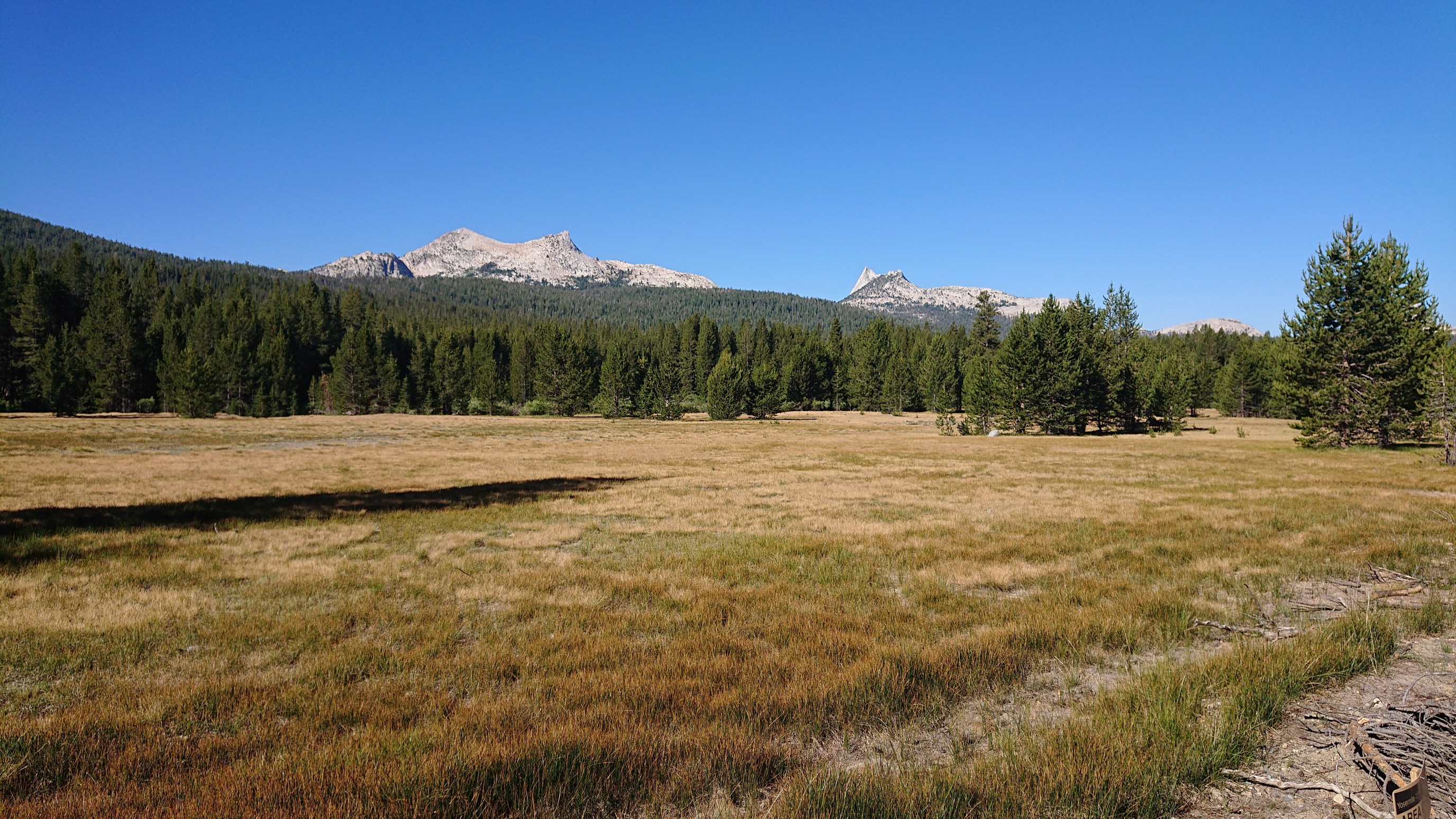
I think one of those mountains is Cathedral Peak.
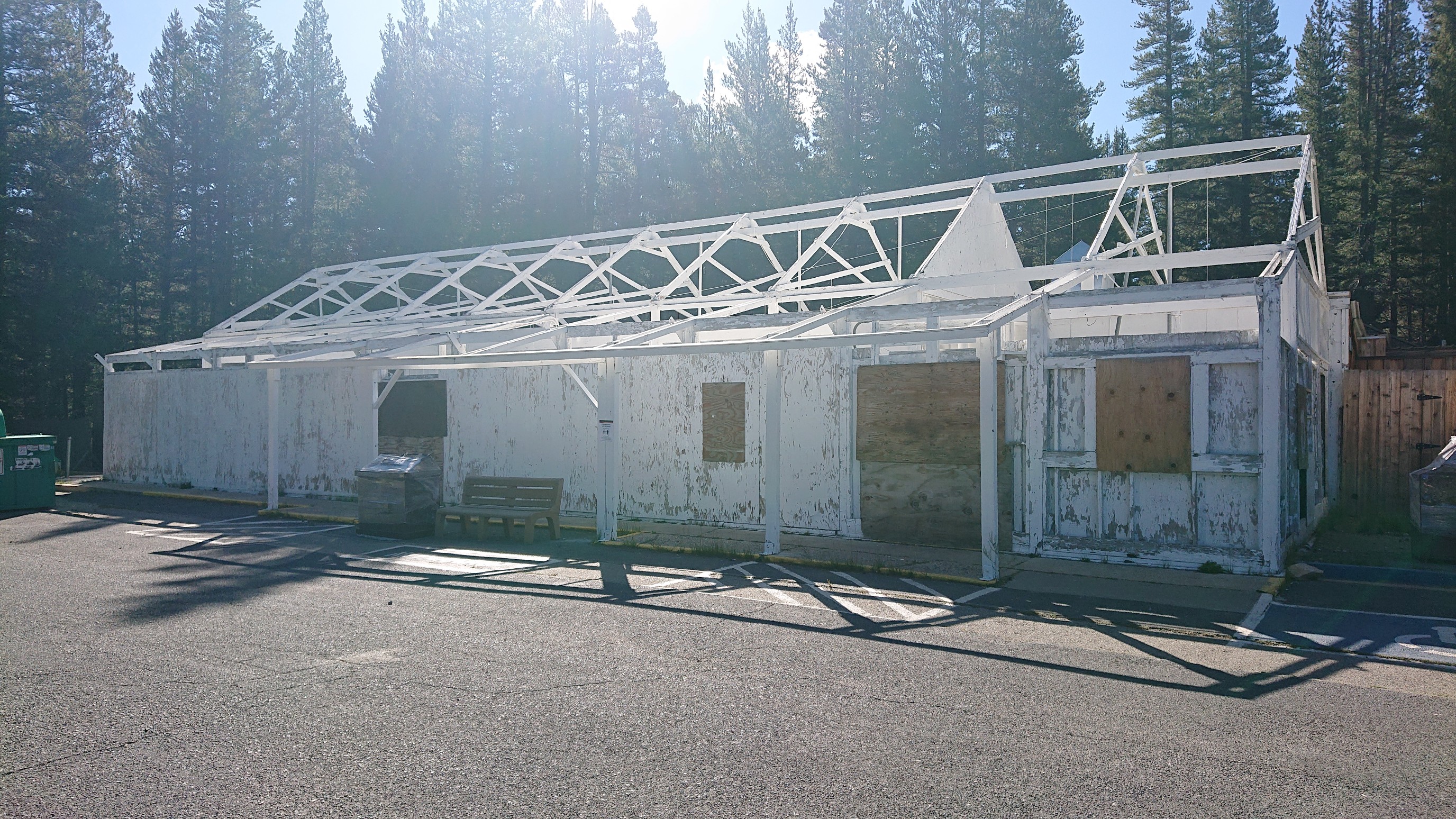
I arrived to the store at 9am. Not only were they not open, it looked like they hadn’t been open in a few years. What a sad sight.
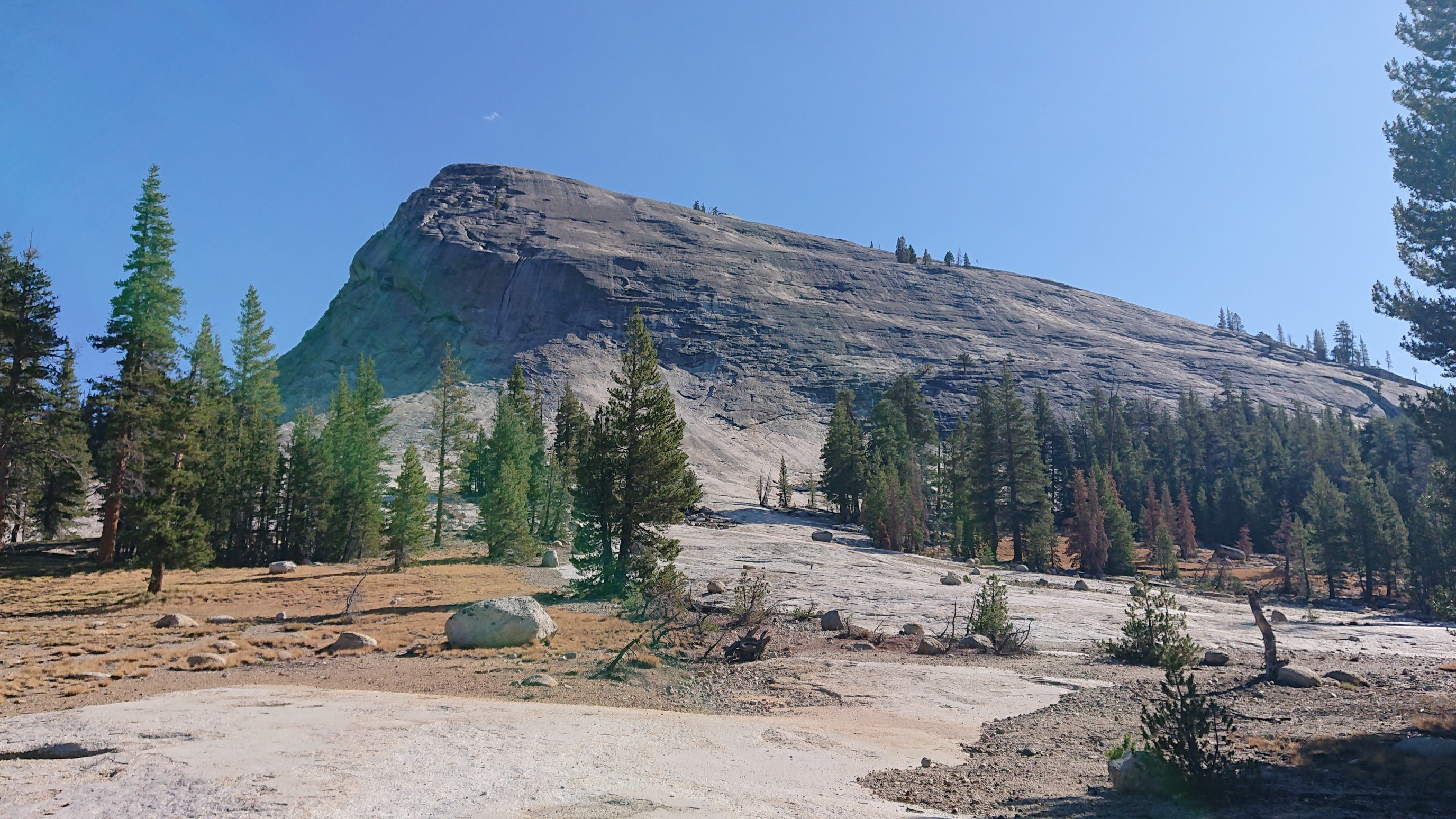
I didn’t want my extra 1.5 miles to be wasted, so I went Dome-spotting. Lembert Dome:
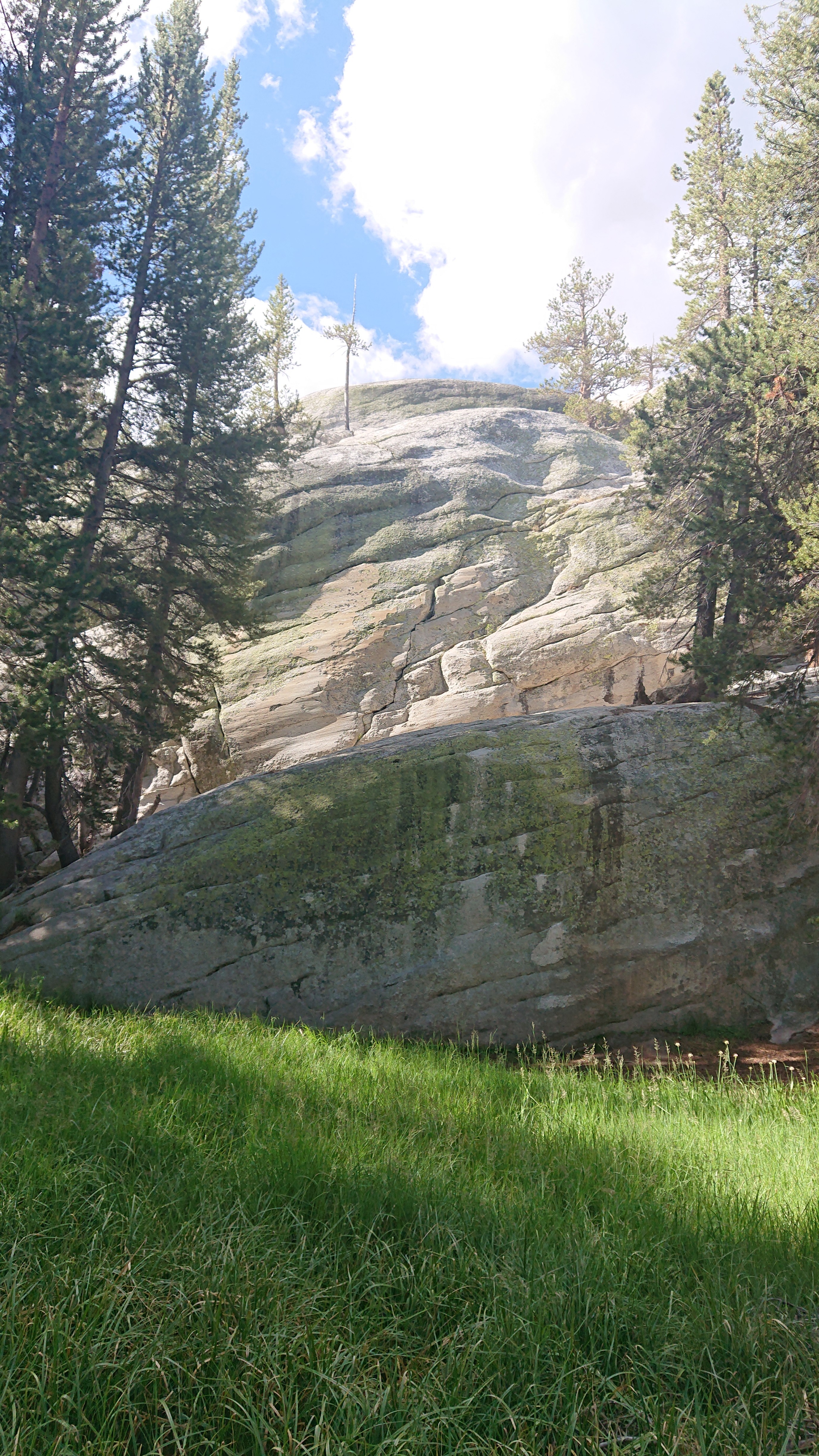
And Puppy Dome:
No sign of the popular Stately Pleasure Dome, though.
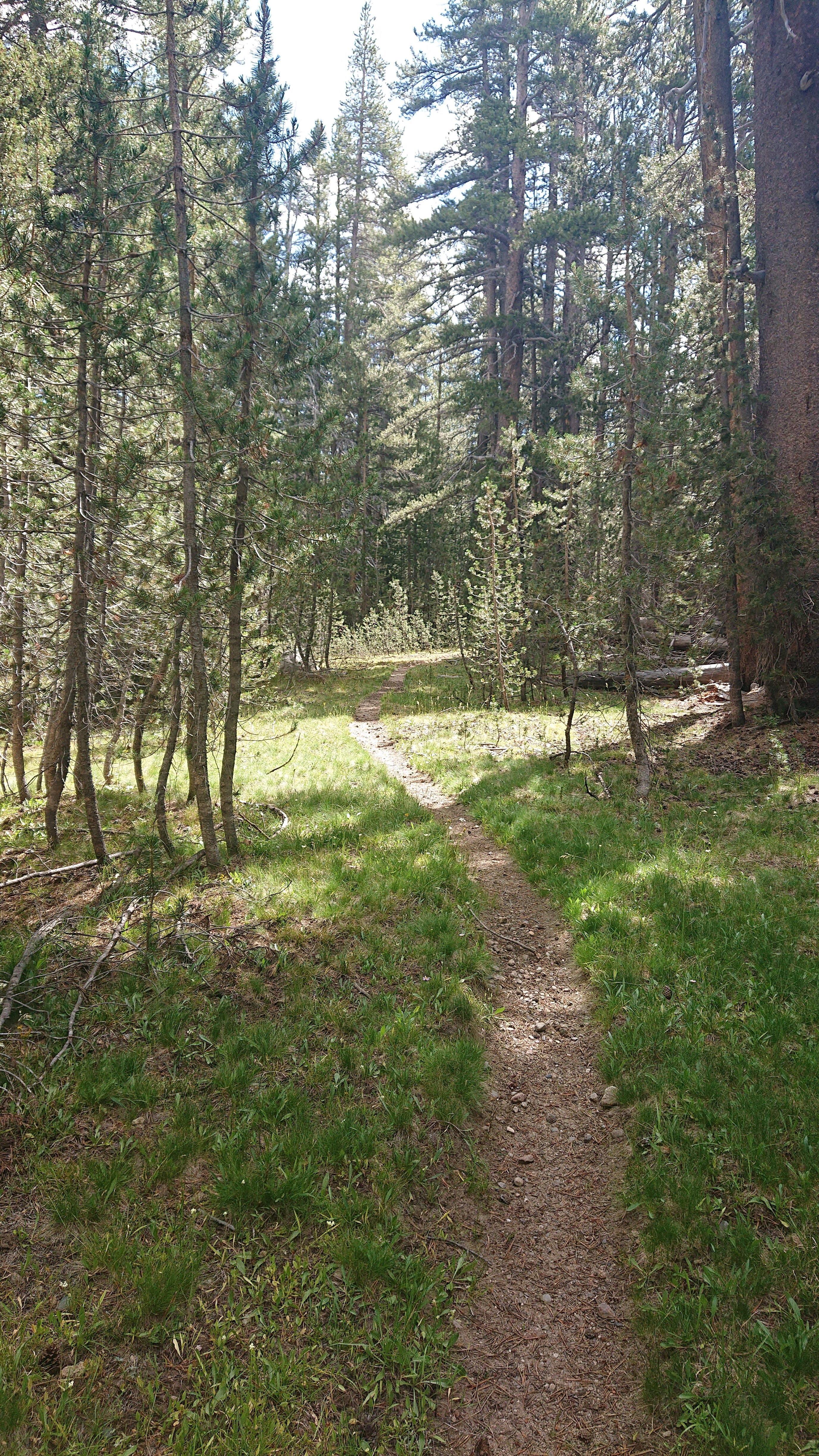
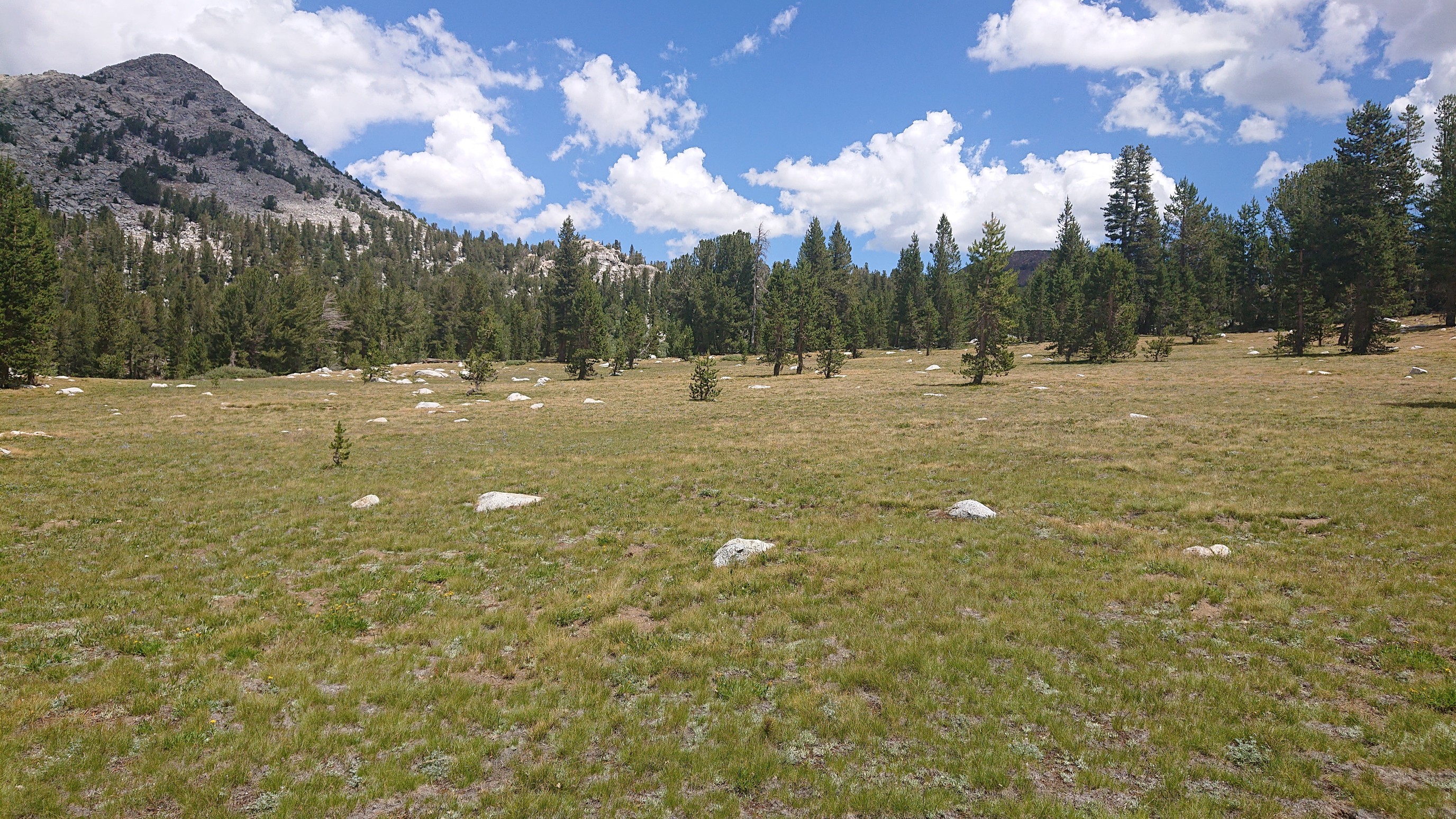
Hungry and disappointed, I walked the 30 minutes back to the trail, and distracted myself with beautiful surroundings.
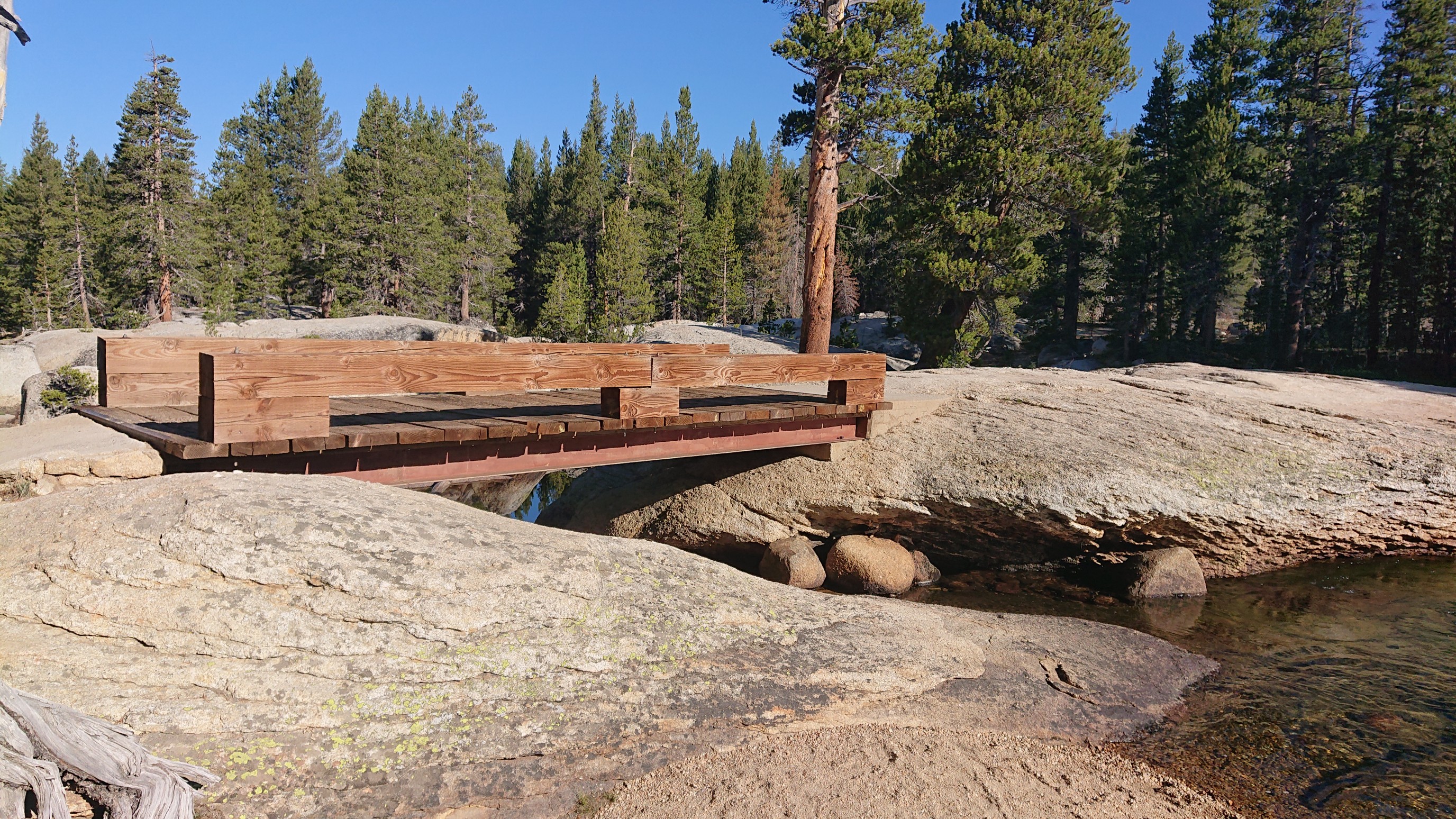
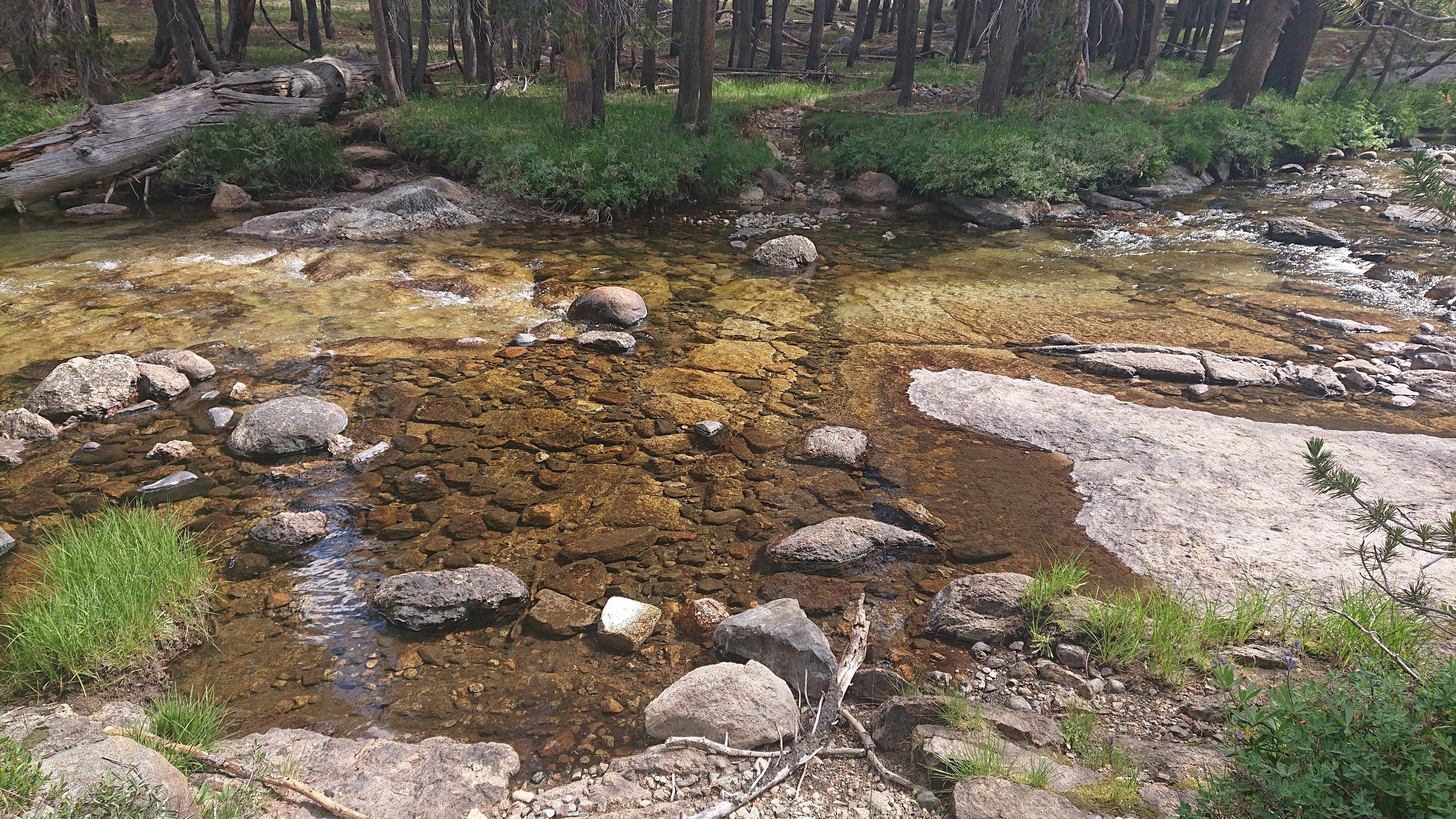
I got to the Dana Fork River, fearing a raging river. The map suggests an alternate route to avoid this “deep ford”. I stepped across on stones, and it never looked more than ankle deep. Maybe in early season?
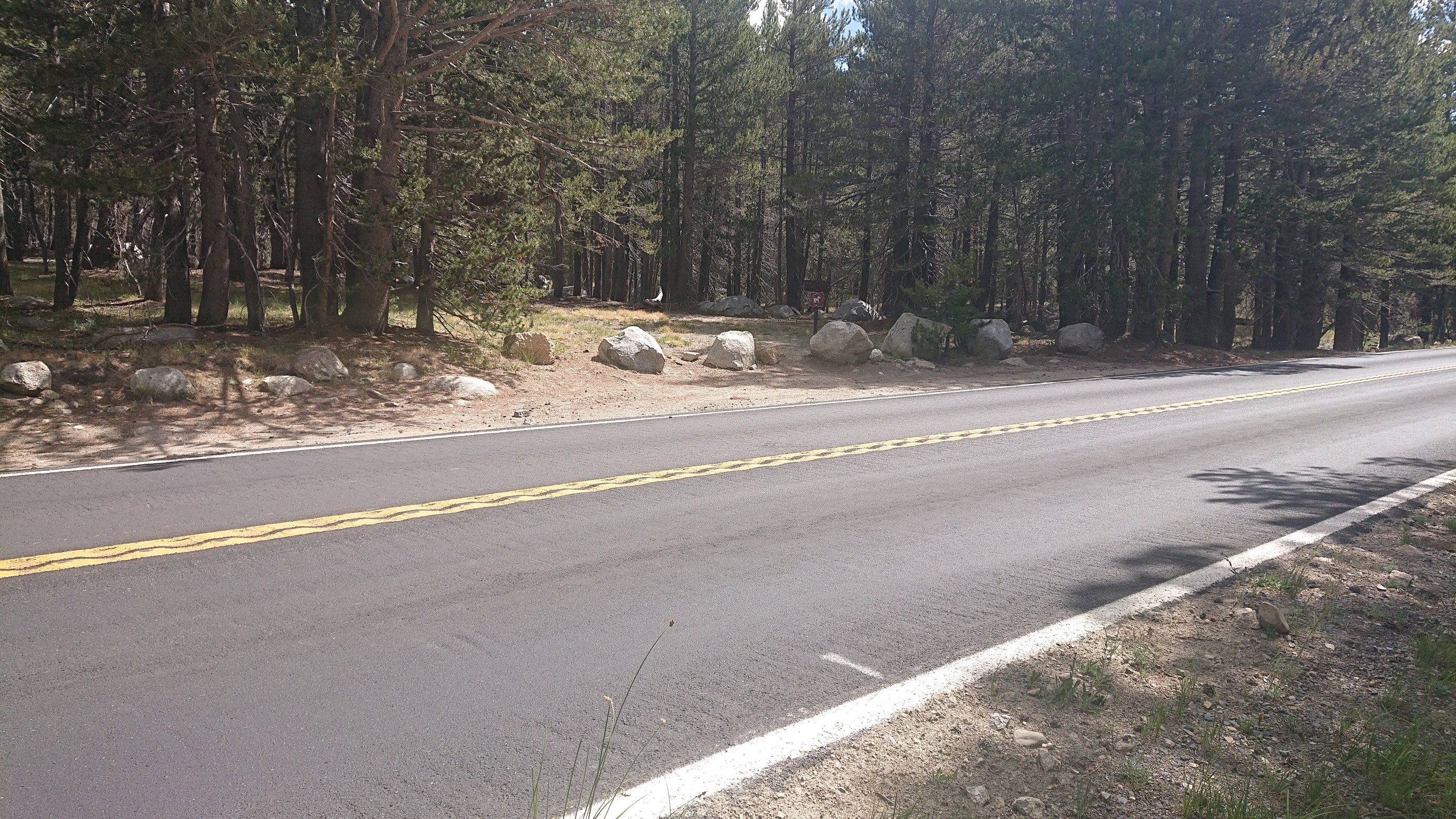
A minute later, I crossed the only pavement on the entire SHR, the Tioga Pass Road/Hwy 120.
The good trail continued, uphill towards Gaylor Peak (right).
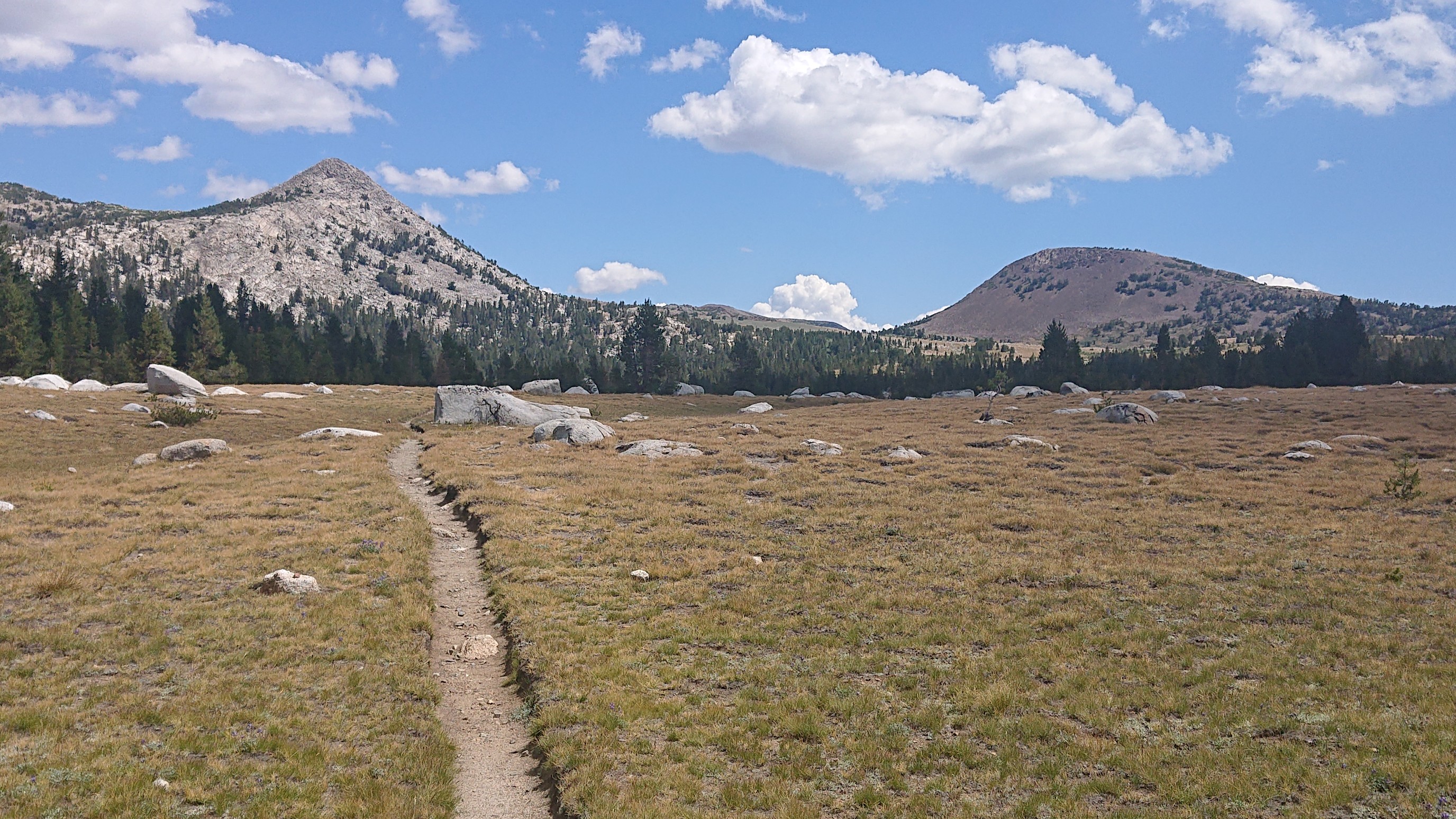
After achieving timberline elevation, the trail faded and I had a sublime xc stroll.
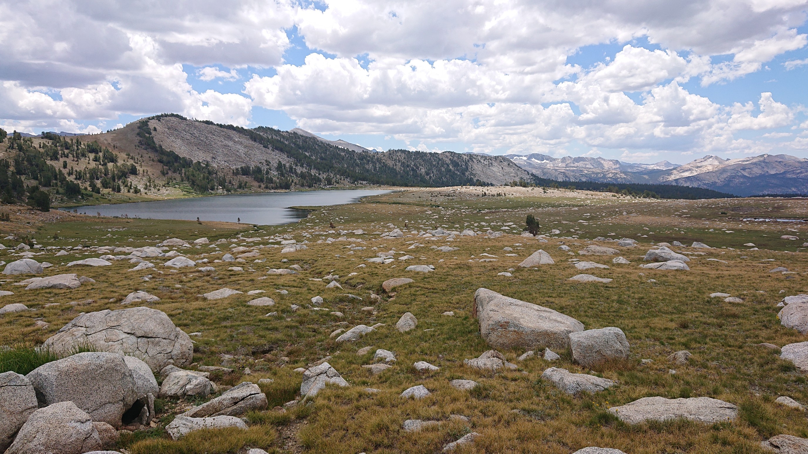
I passed Lower Gaylor Lake, forgetting about swimming since it was getting windy.
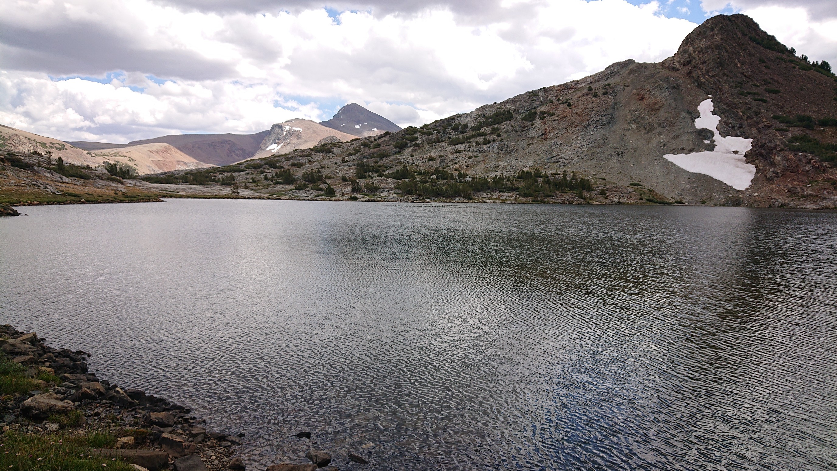
I walked along Upper Gaylor Lake for a bit, and because of the wind there were no bugs.
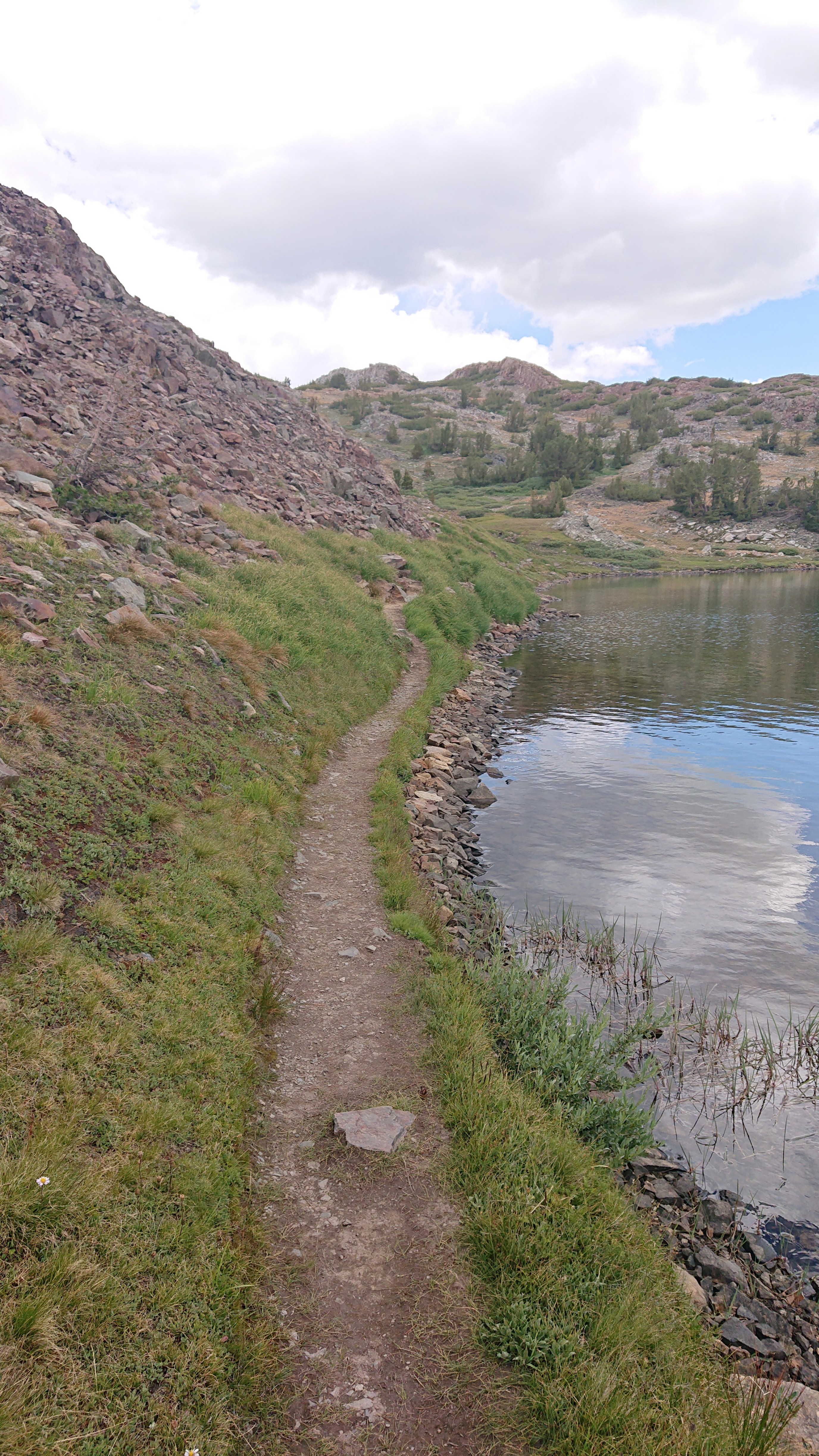
I climbed up, leaving the lakes behind. At the top of the ridge, at 10,800ft/3300m, there were some old mining buildings!
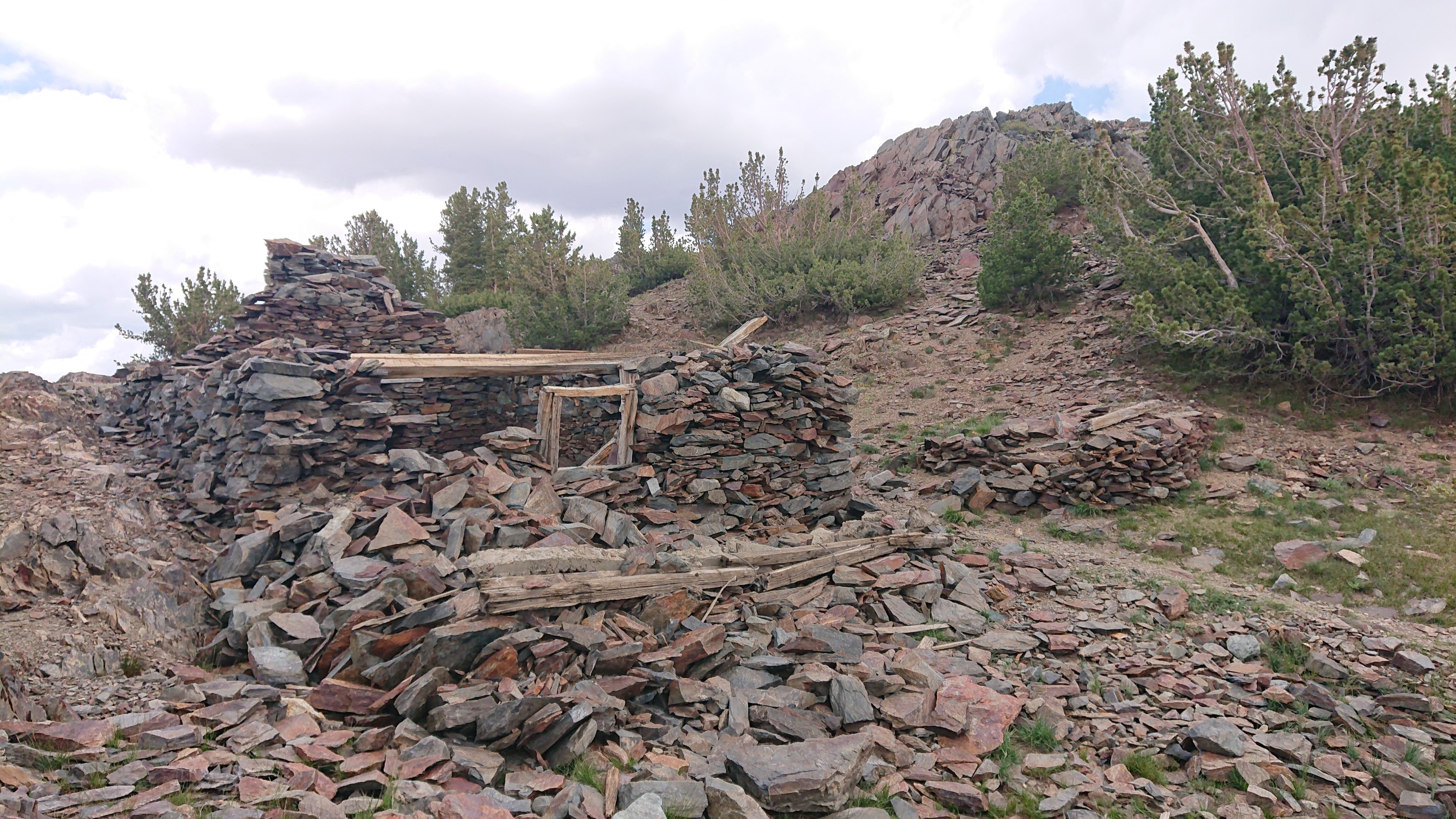
I went inside the “doorway”, and it looked pretty solidly built.
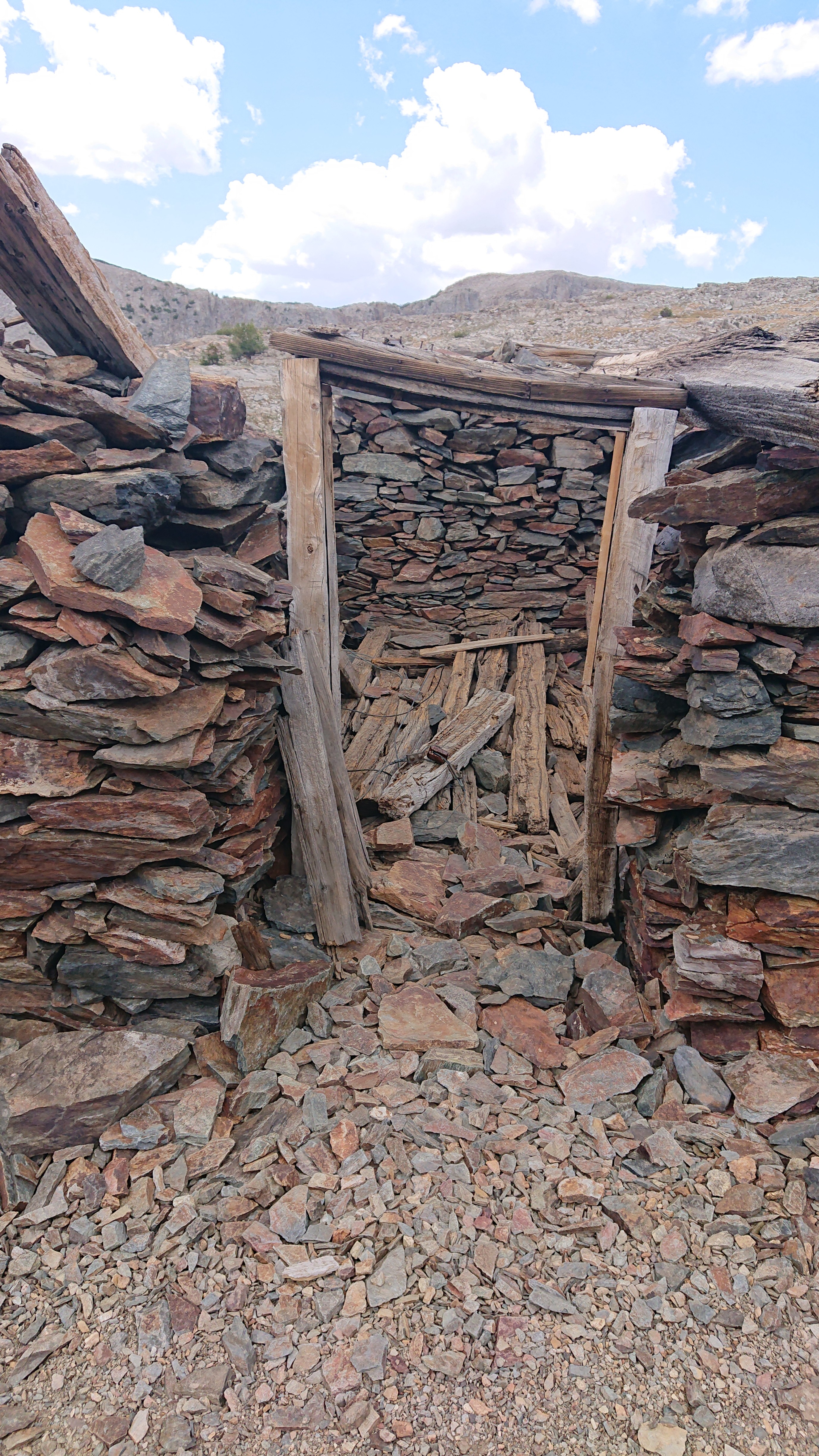
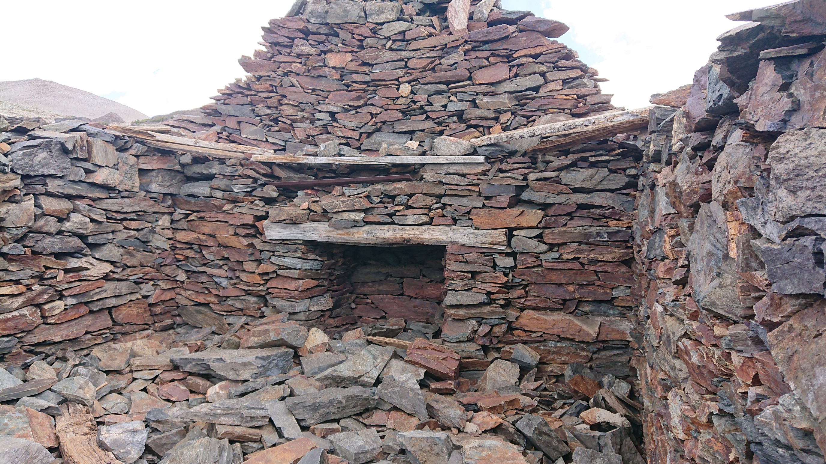
There were other smaller buildings as well.
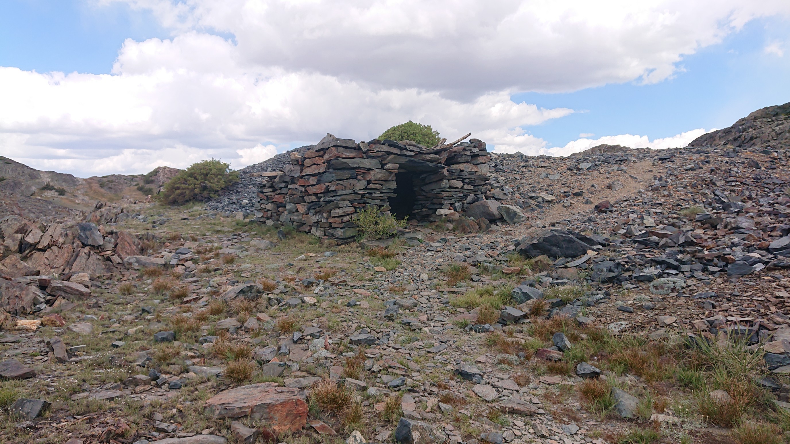
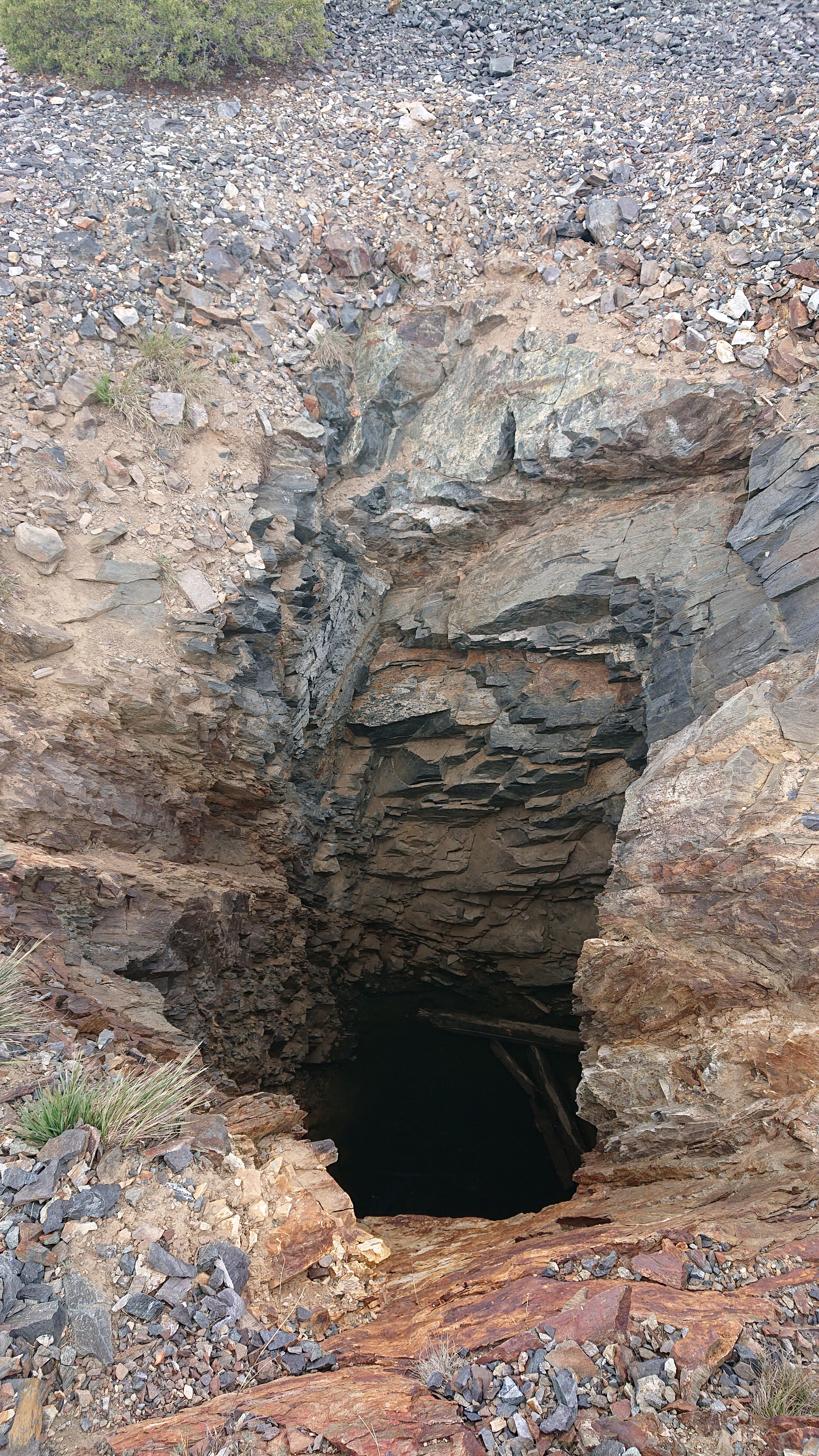
And even an old mine shaft. It was terrifyingly deep.
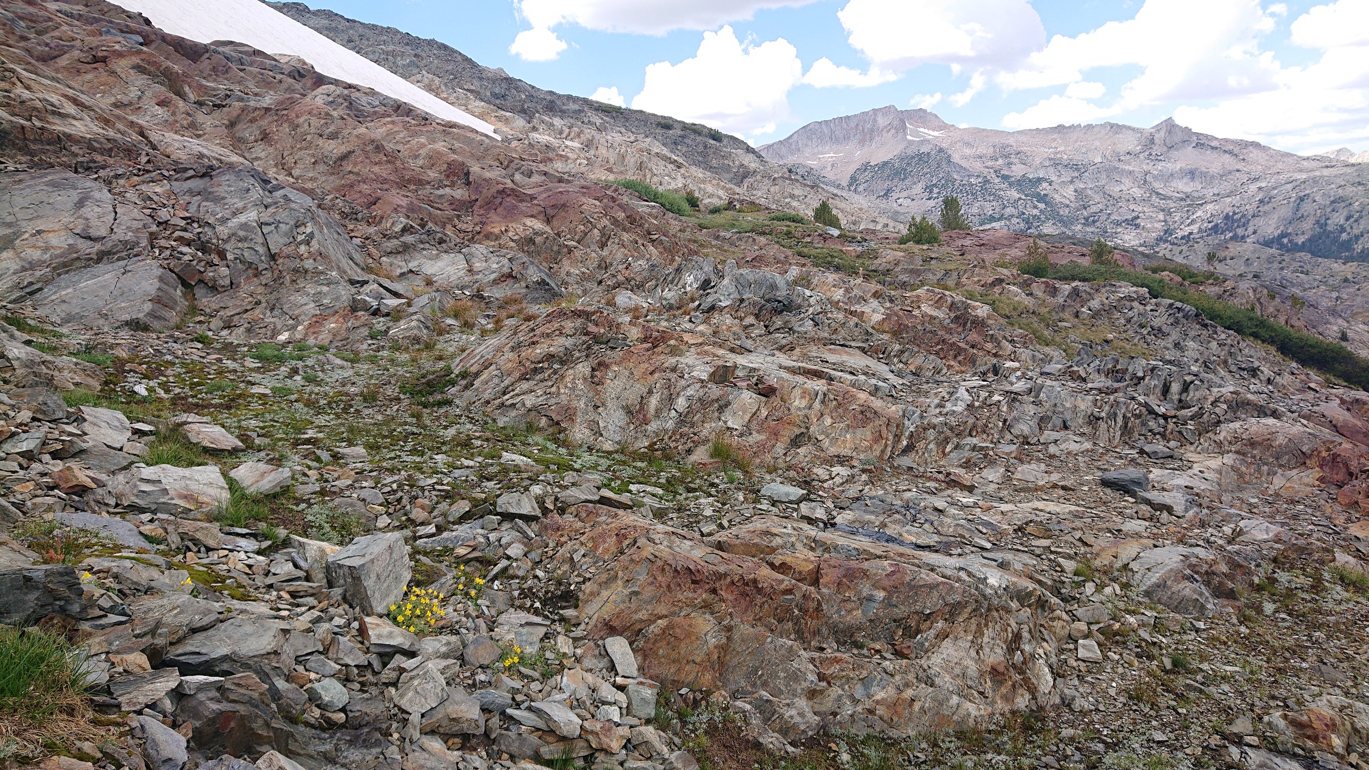
I continued on across the ridge, noticing that the geology of this side (eastern) of the Sierras is very different. No more granite, mostly shales I think.
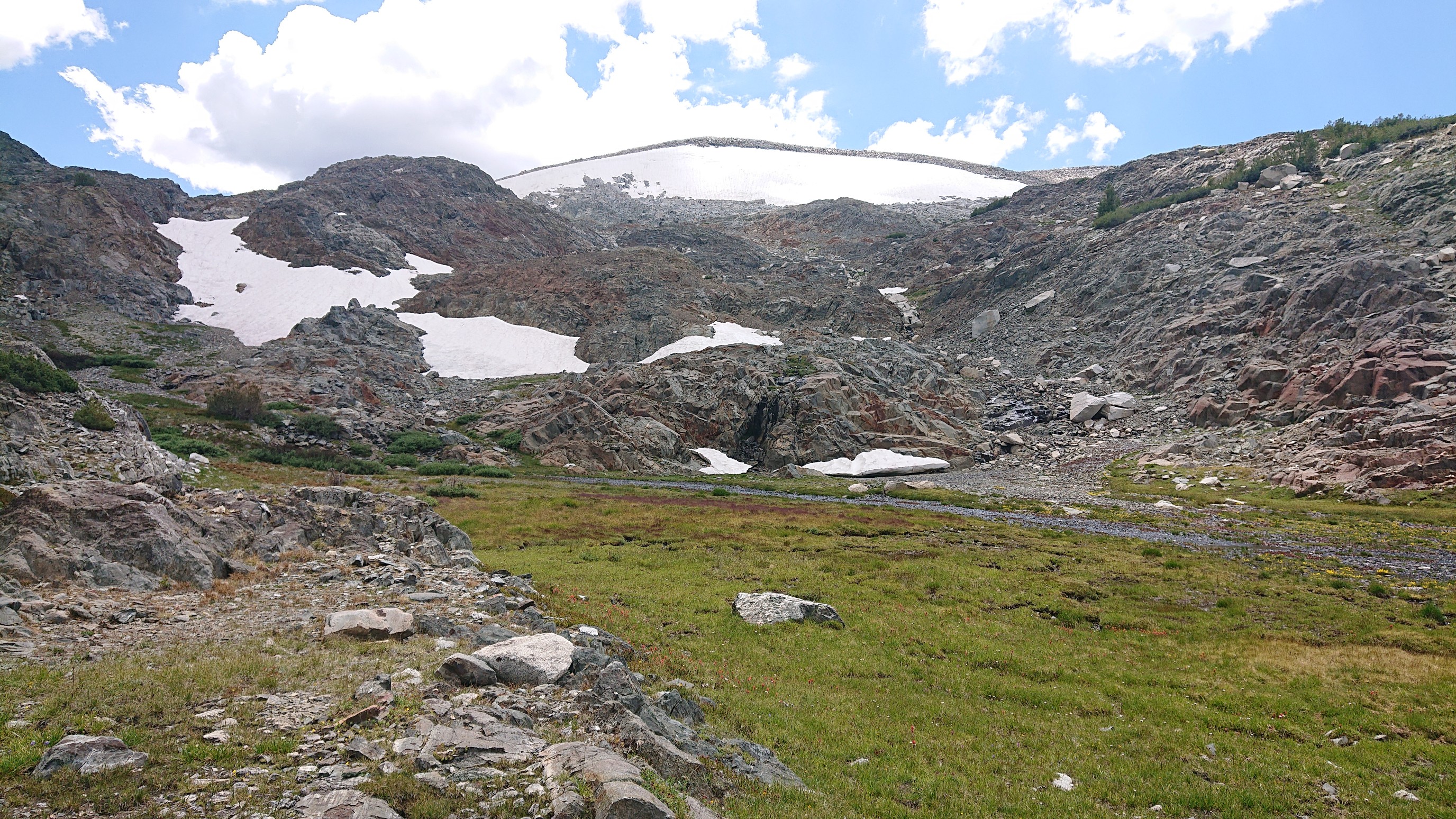
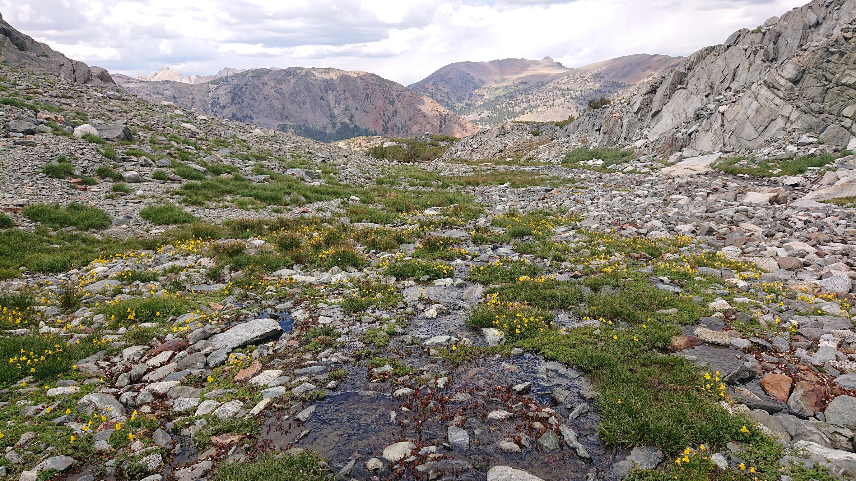
I came across a hidden valley with a little snowmelt stream, what a cool surprise. Definitely not on my map!
An hour later, I dropped down from the ridge to Spuller Lake.
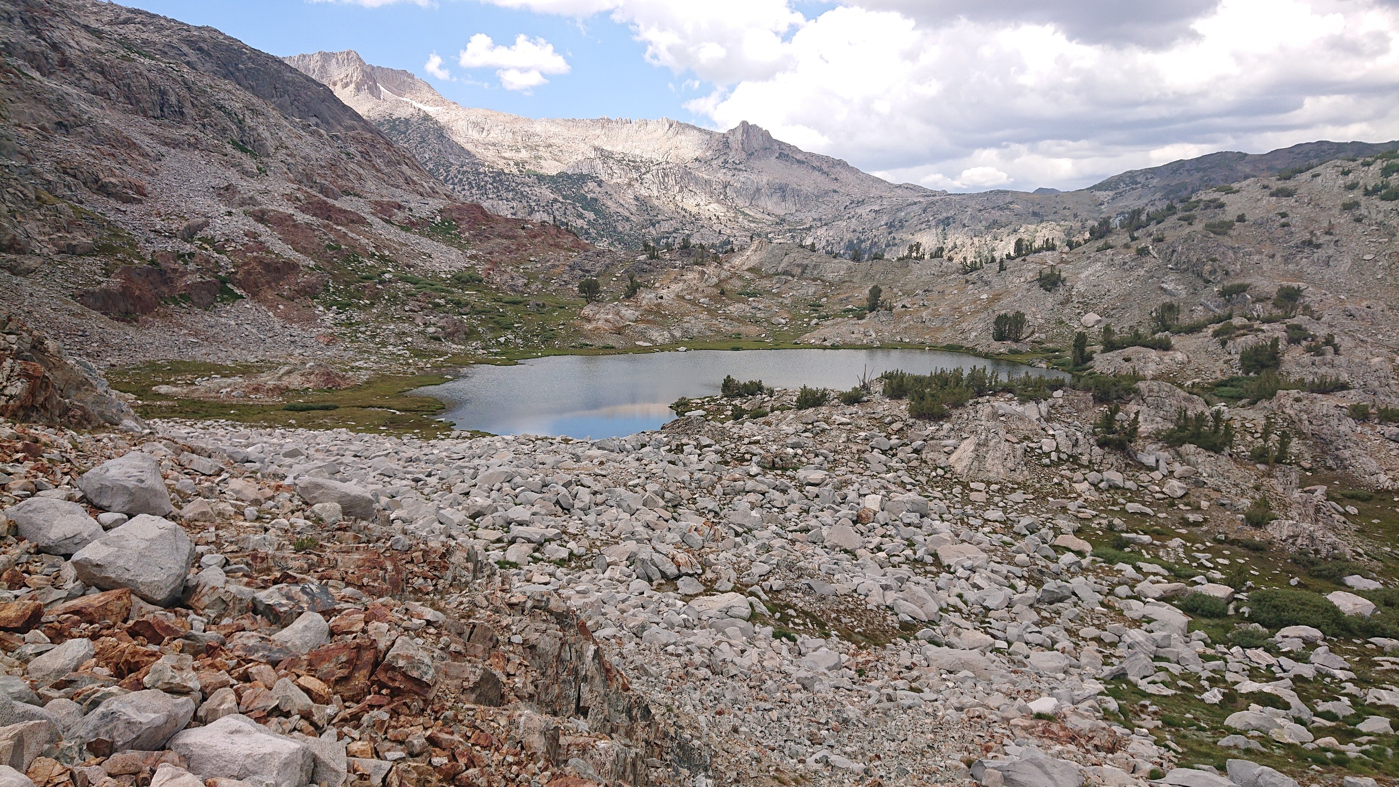
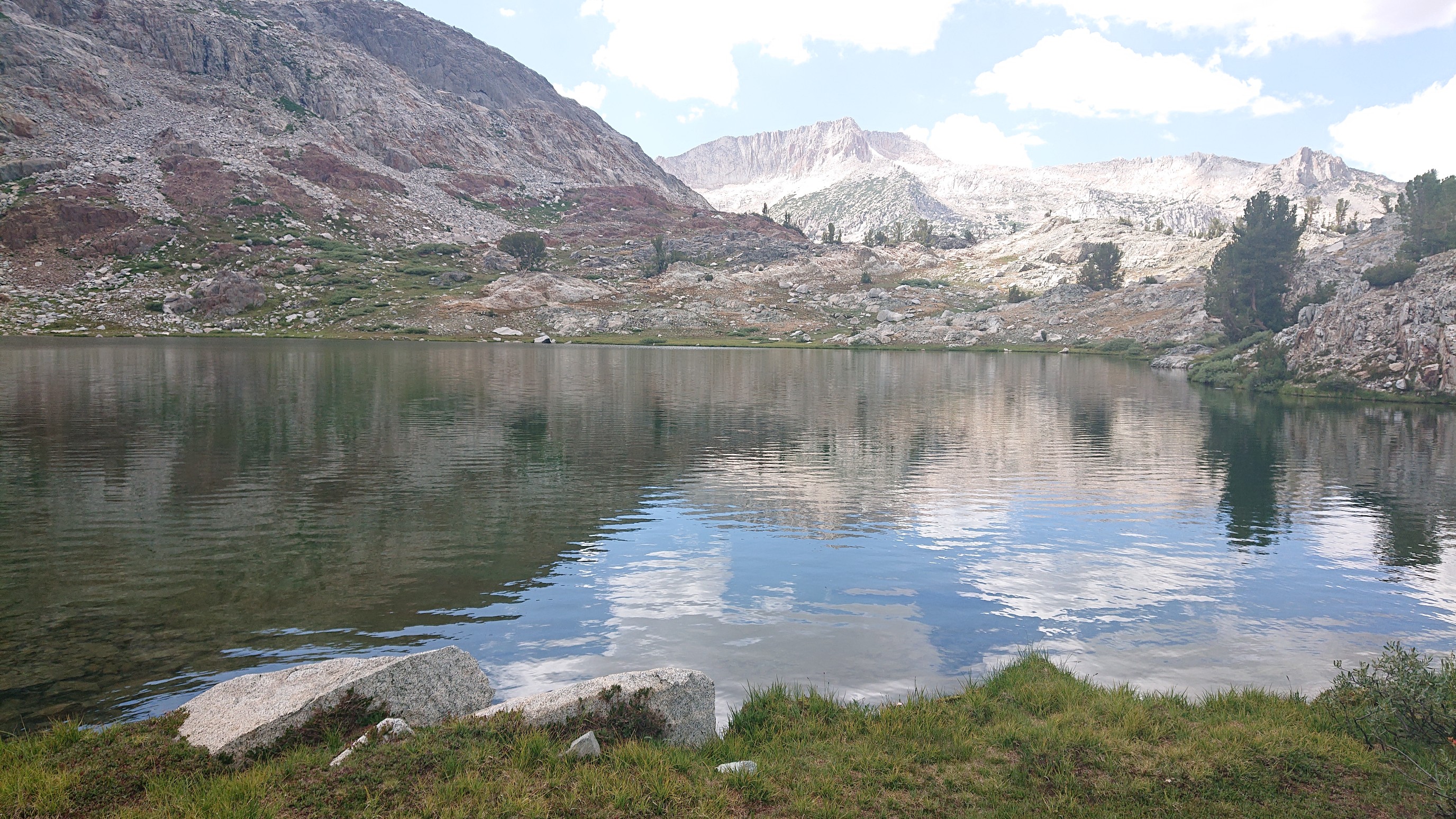
It smelled weird, so I kept going. The next trio of lakes looked much nicer! Green Treble Lake, unknown, Maul Lake:
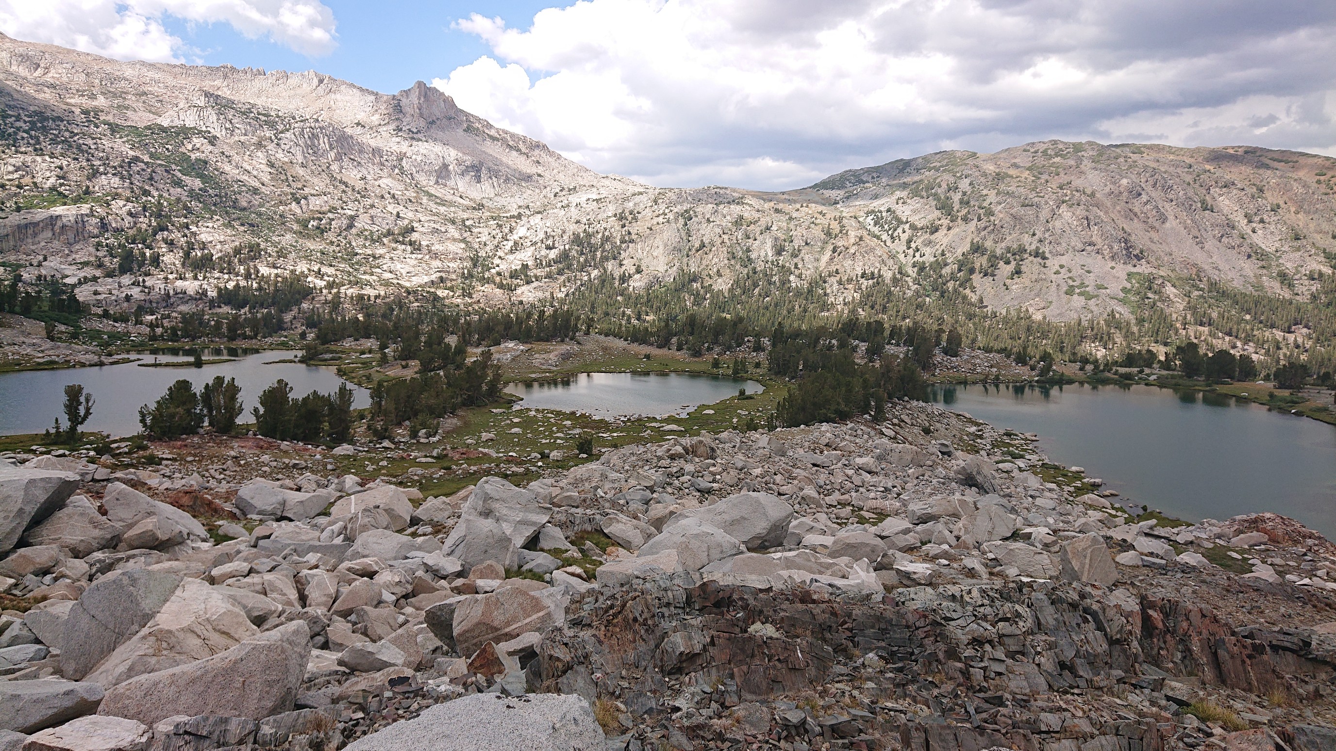
After a nice swim in Maul Lake, I headed down to the valley to camp in the trees.
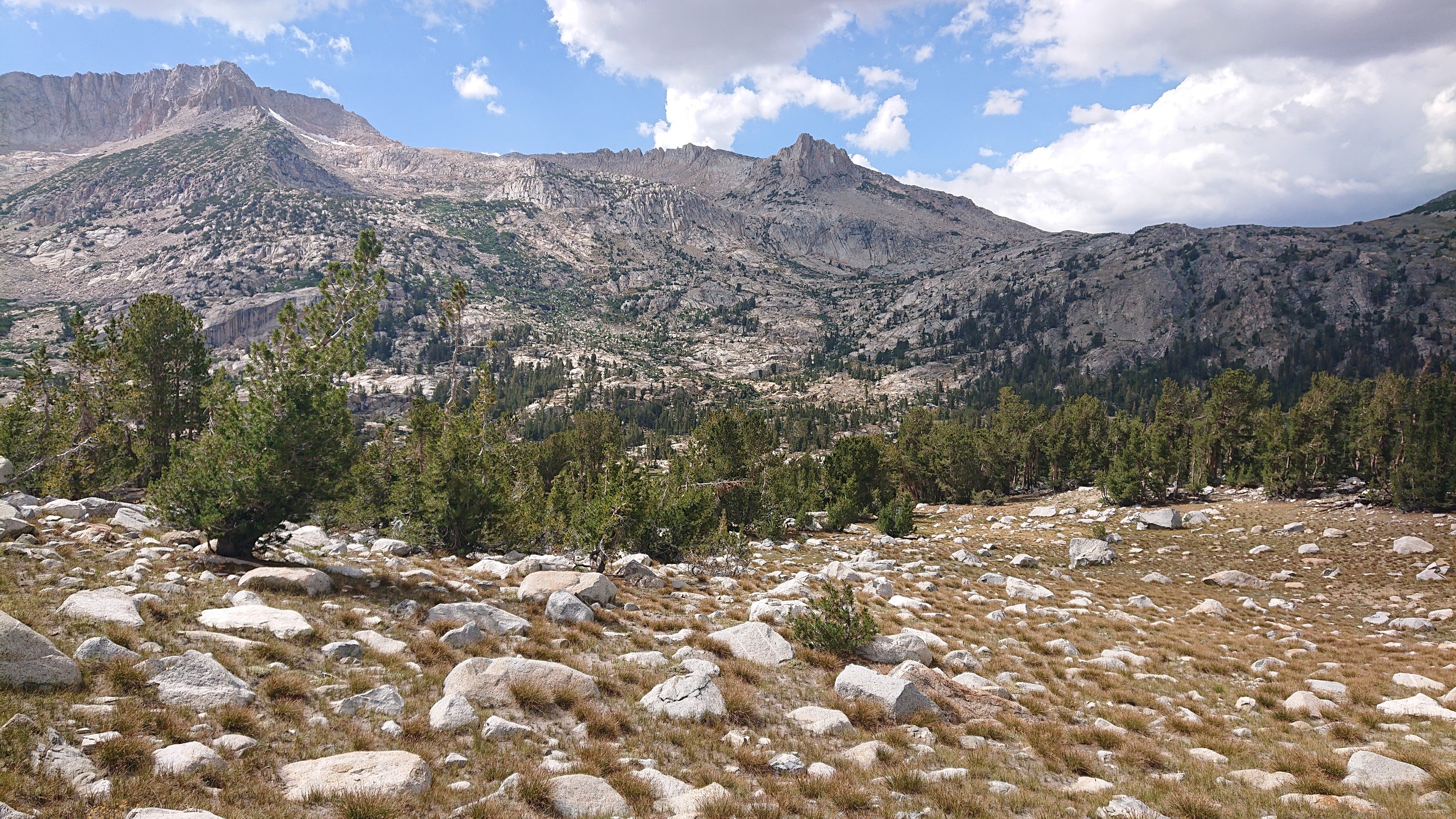
The tallest point on the left is Mount Conness, tomorrow morning I climb the pass on the right.