Wednesday February 24, 7.5mi/12.0km
First Cedar Lake Lean-to (73.9/2420ft) to West Canada Creek Lean-to (81.4/2280ft) (NY)
We were awake at 5am, and had a more relaxed morning, with fewer tasks to do. Jim takes some time every morning to update Barrett on our status and plans for the day, via a satellite InReach device.
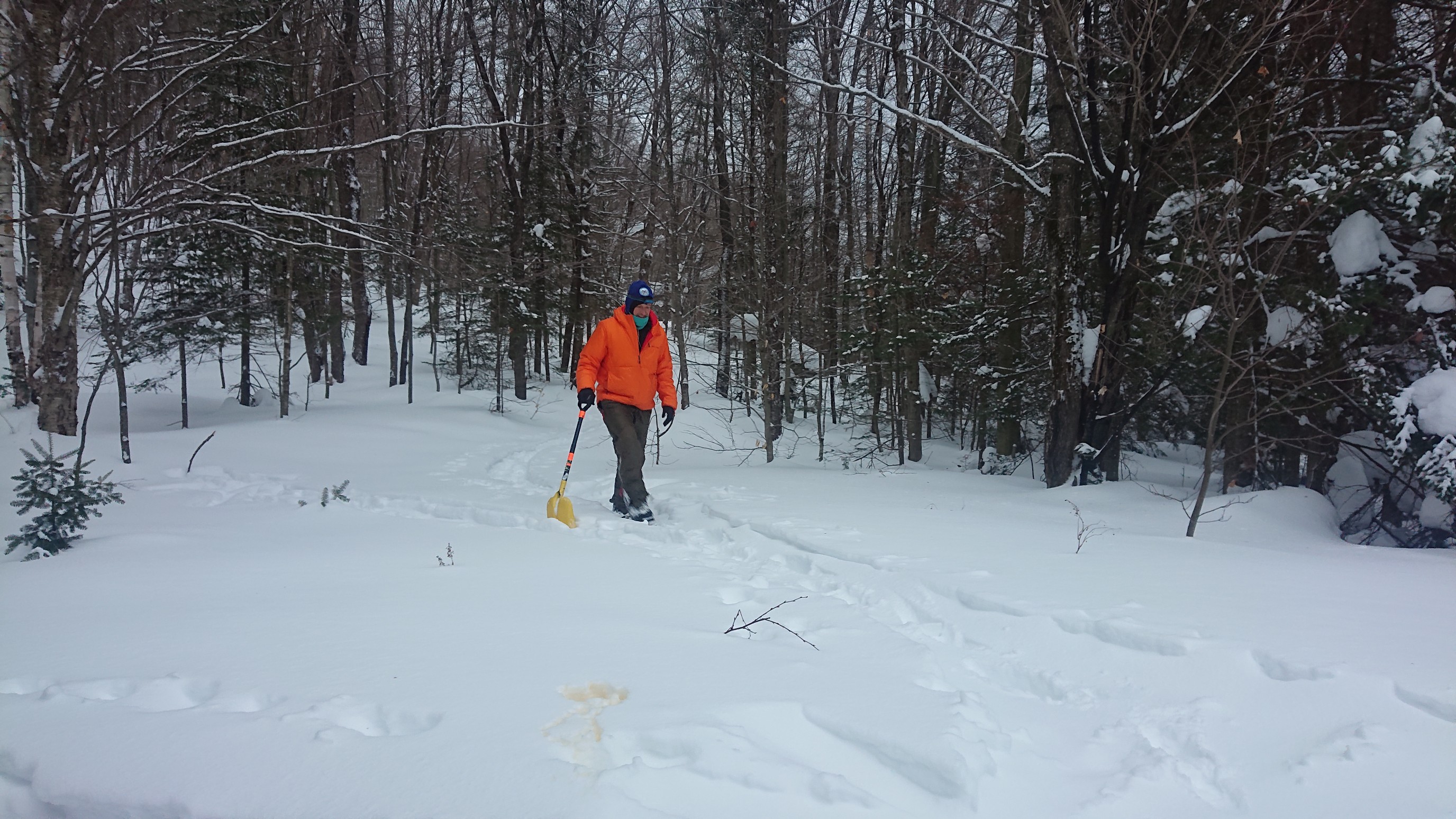
Mark went to dig out the privy/toilet, sometimes the doors are buried by multiple feet of snow!
At 7:05am, we put our packs on, and skiied down to First Cedar Lake. Again, the NPT follows the lakeshore, so we will simply ski the frozen lake.
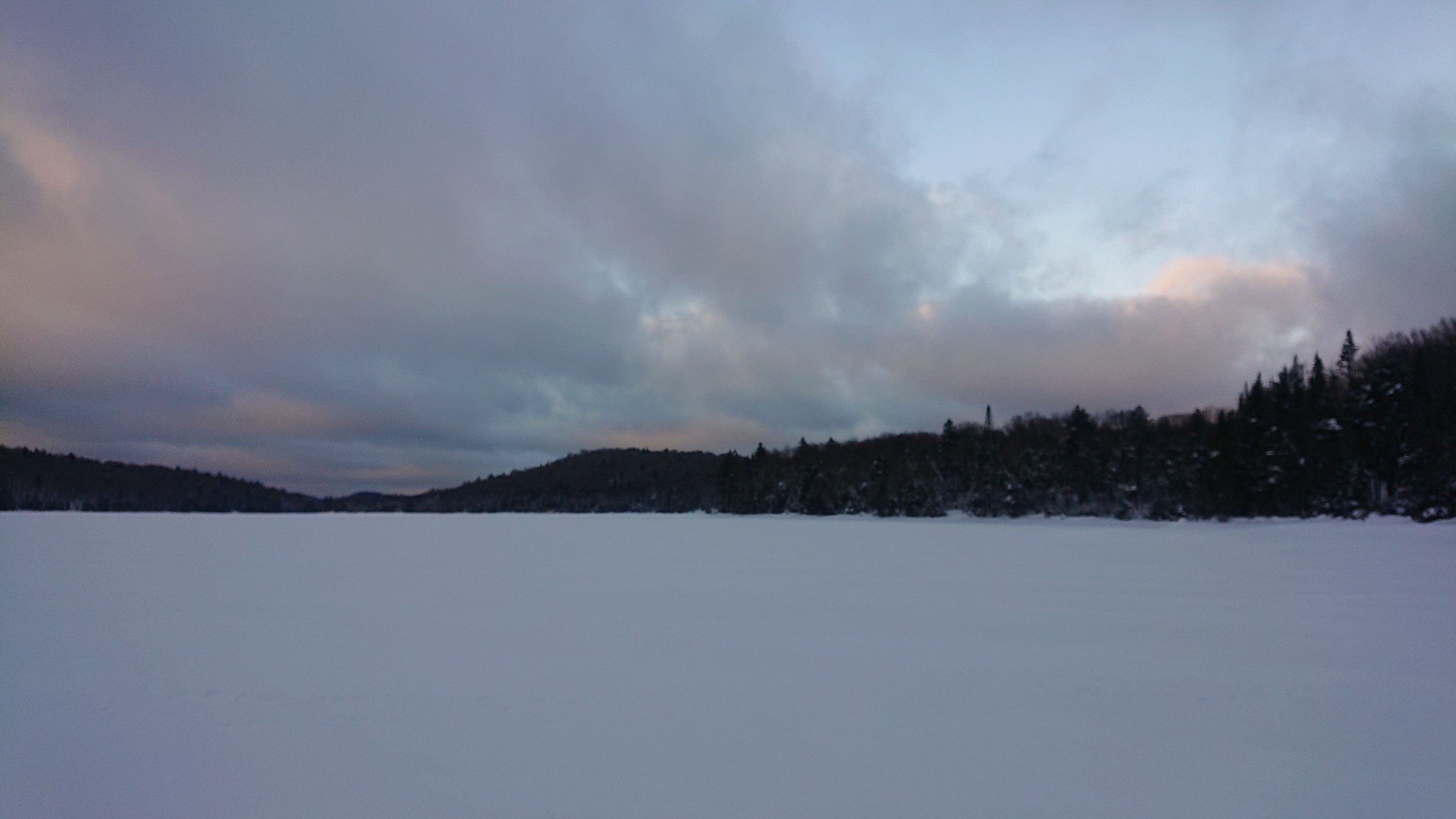
This was my favorite morning of skiing. Not only was it fast and easy travel, the views were great and the shifting clouds were giving us quite a show. A hole opened up to show blue sky!
Looking back to the northeast, Jim and Mark coming from the direction of our lean-to. A little while later, Mark broke through some hollow ice near the edge of the water. The edges are usually the most suspect places, and while the water was quite shallow, it was a good reminder to stay cautious around the edges. He extracted himself with only 1 wet boot!
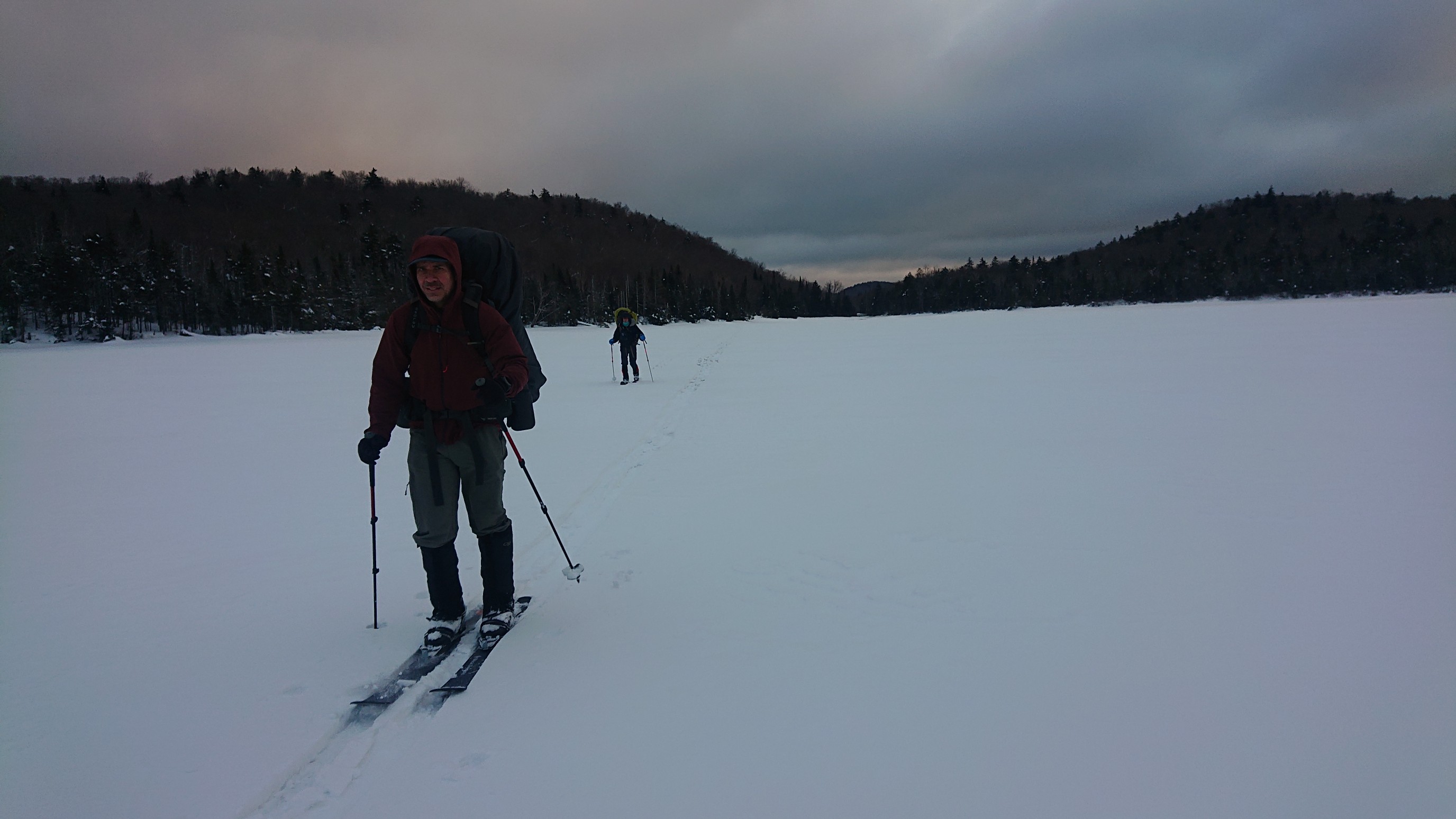
An hour later, the clouds really started to break up and dissipate. The sunshine was a welcome element, especially to help dry and warm Mark’s wet boot.
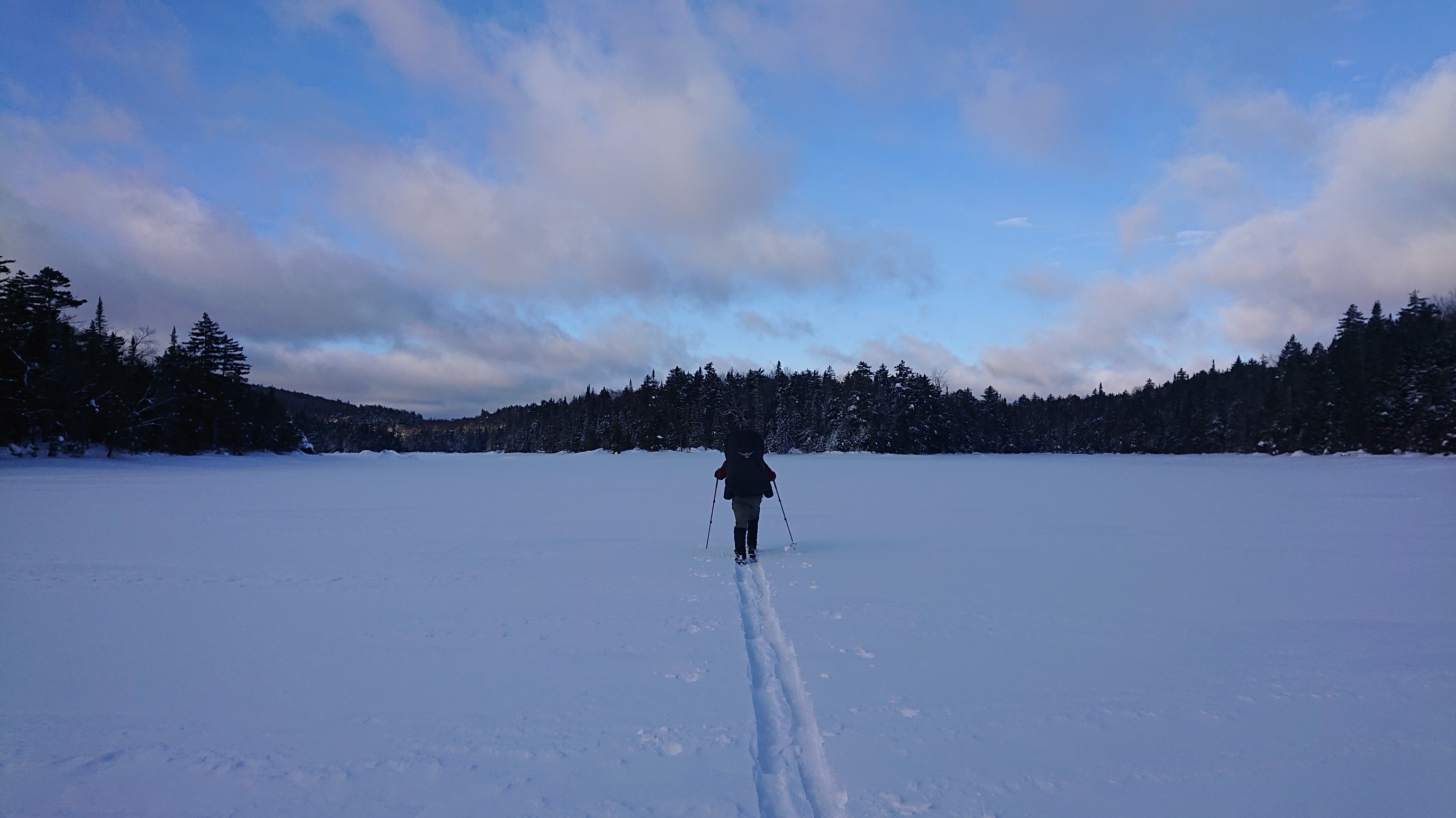
We recollected ourselves on a small peninsula, took a short snack break, and planned our next landmark to aim for.
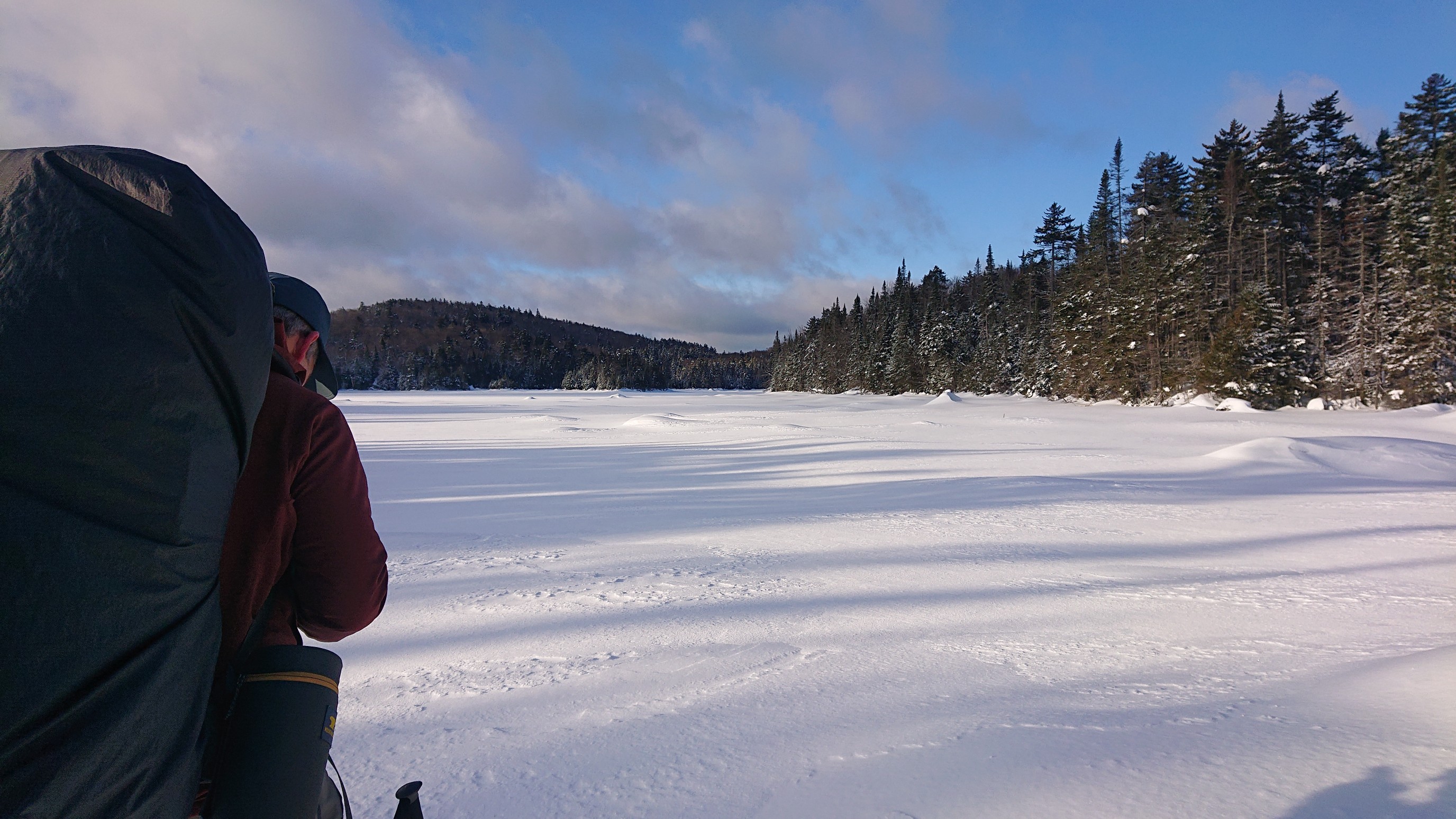
I skiied in the lead for awhile, aiming for a campsite on the southwest shore of First Cedar Lake. The sun felt warm, and it was enjoyable to ski across the windless lake.
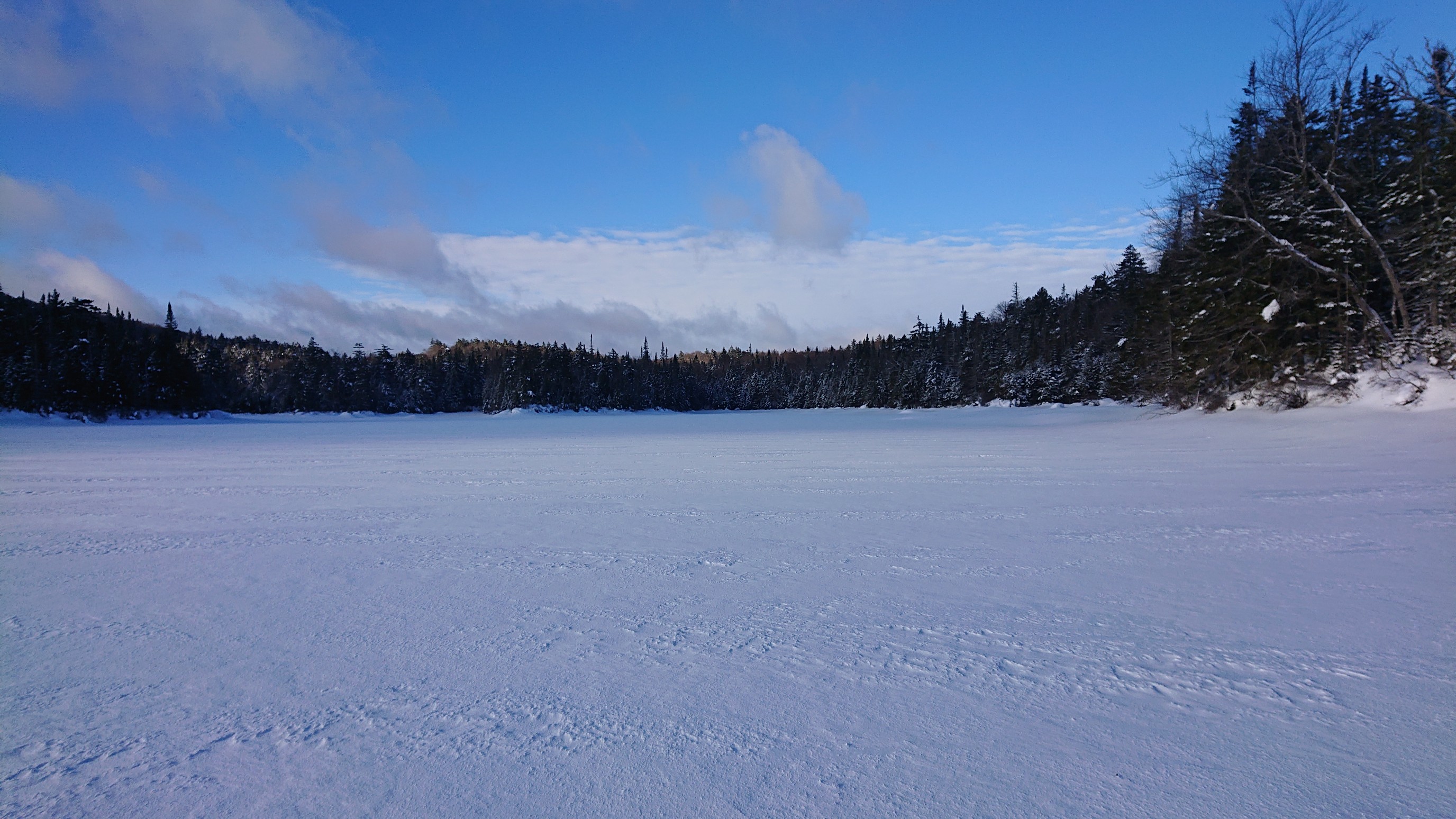
I stepped to the side, and the others went by. I love the perspective of this photo, and how well it summarizes our morning ski.
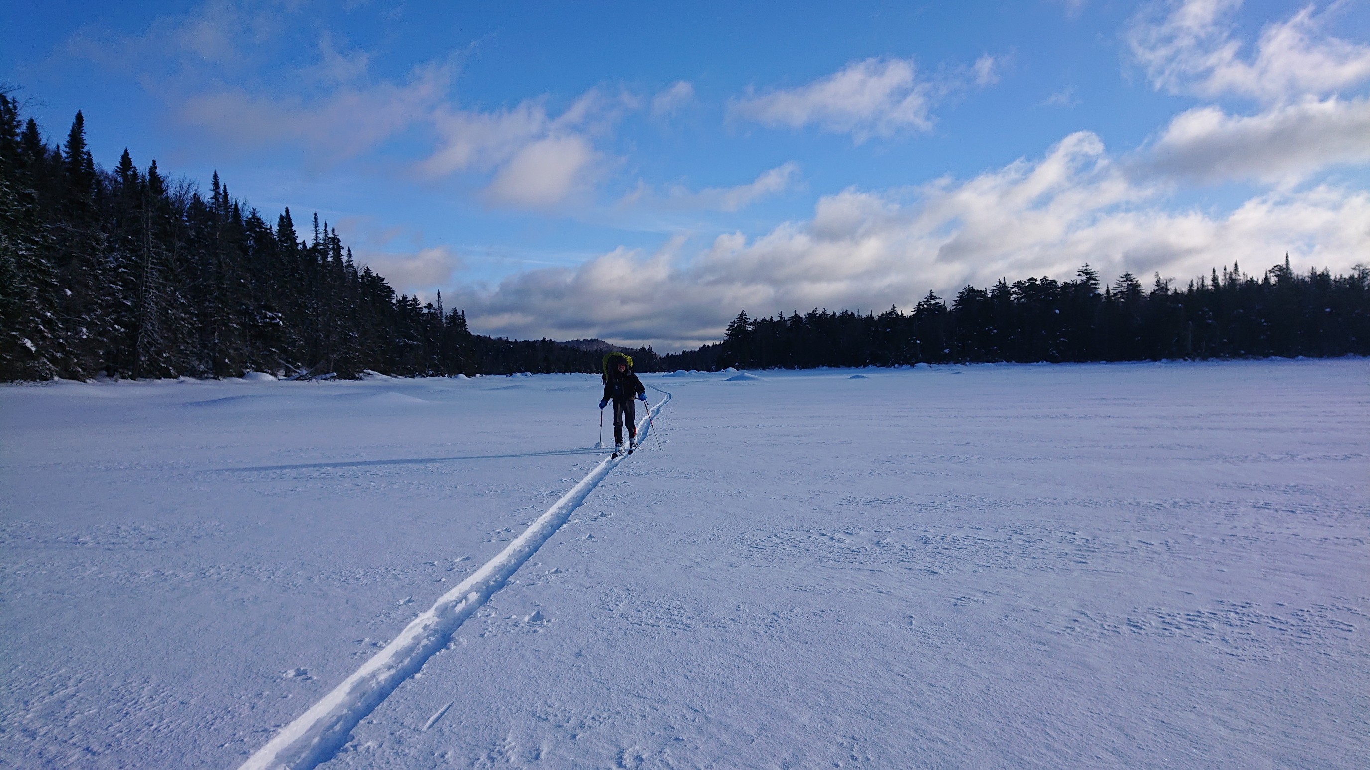
We are aiming for the cove on the right, where there is an established campsite with an access trail.
We re-entered the forest, and had some enjoyable and uneventful skiing for an hour. When it came time to cross Mud Creek, we found an interesting obstacle. The bridge was stacked high with 4 feet of snow. I inspected the underlying creek, and it wasn’t completely frozen, so crossing low wasn’t an option. I went first, clearing a ramp to get up on the snow-choked bridge, and then softly and quickly skiied across. It was definitely a no-fall zone, being about 9 feet above the semi-frozen creek.
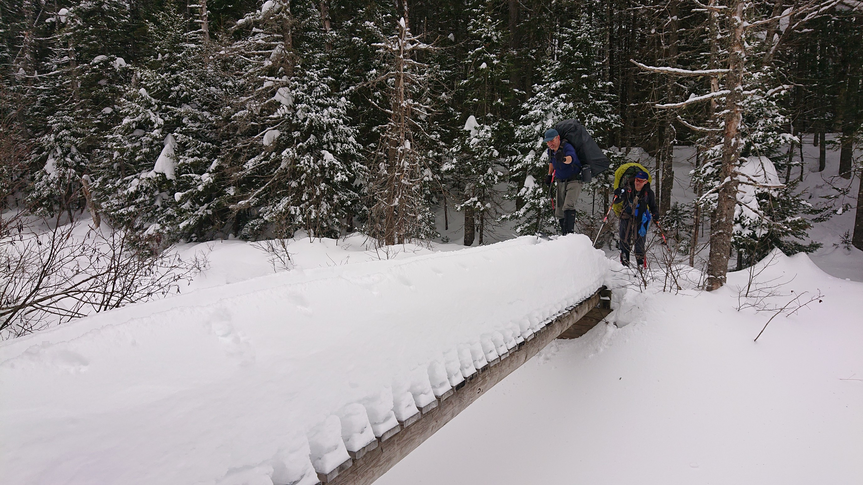
Mark takes his turn across the Mud Creek bridge.
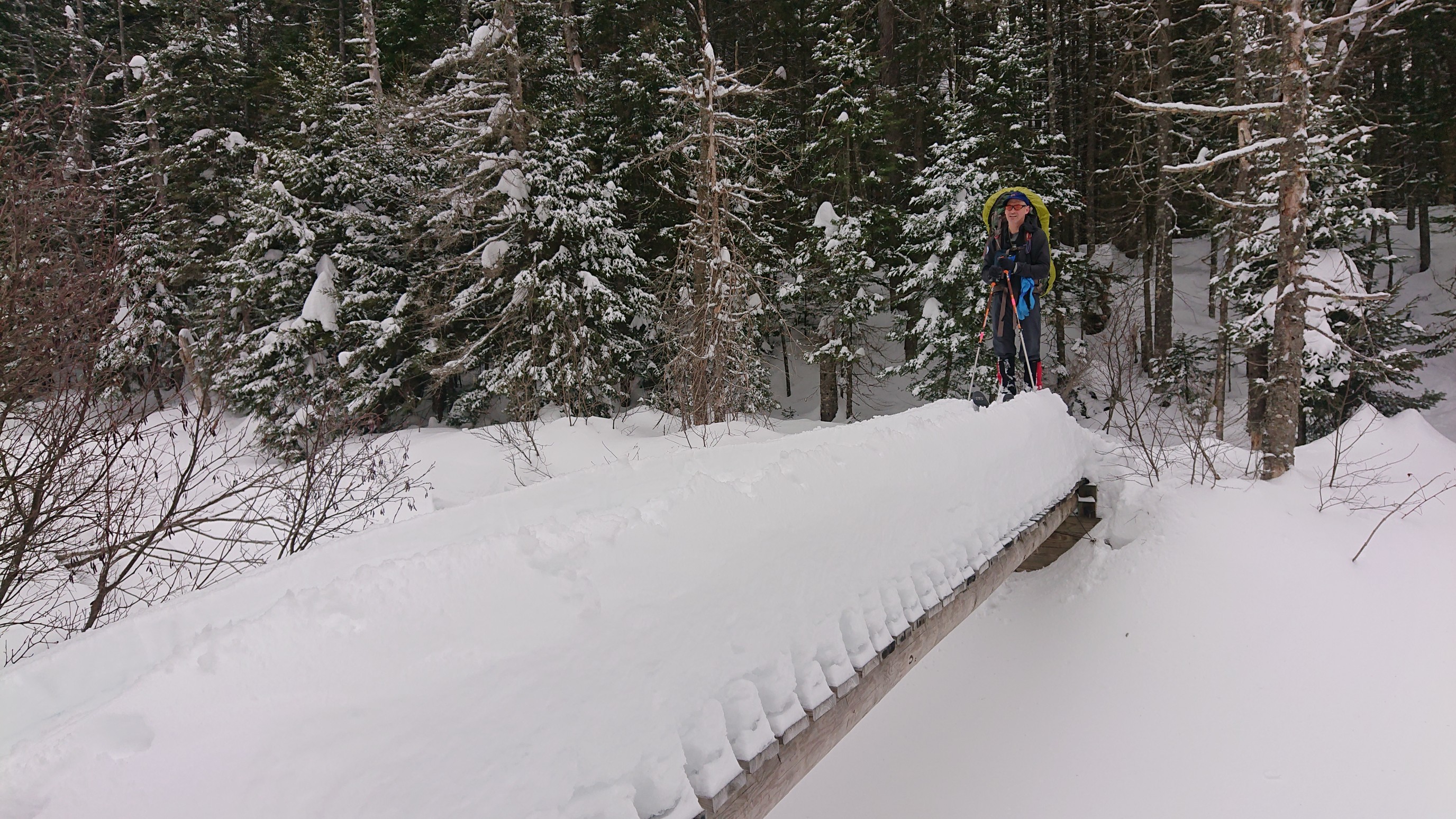
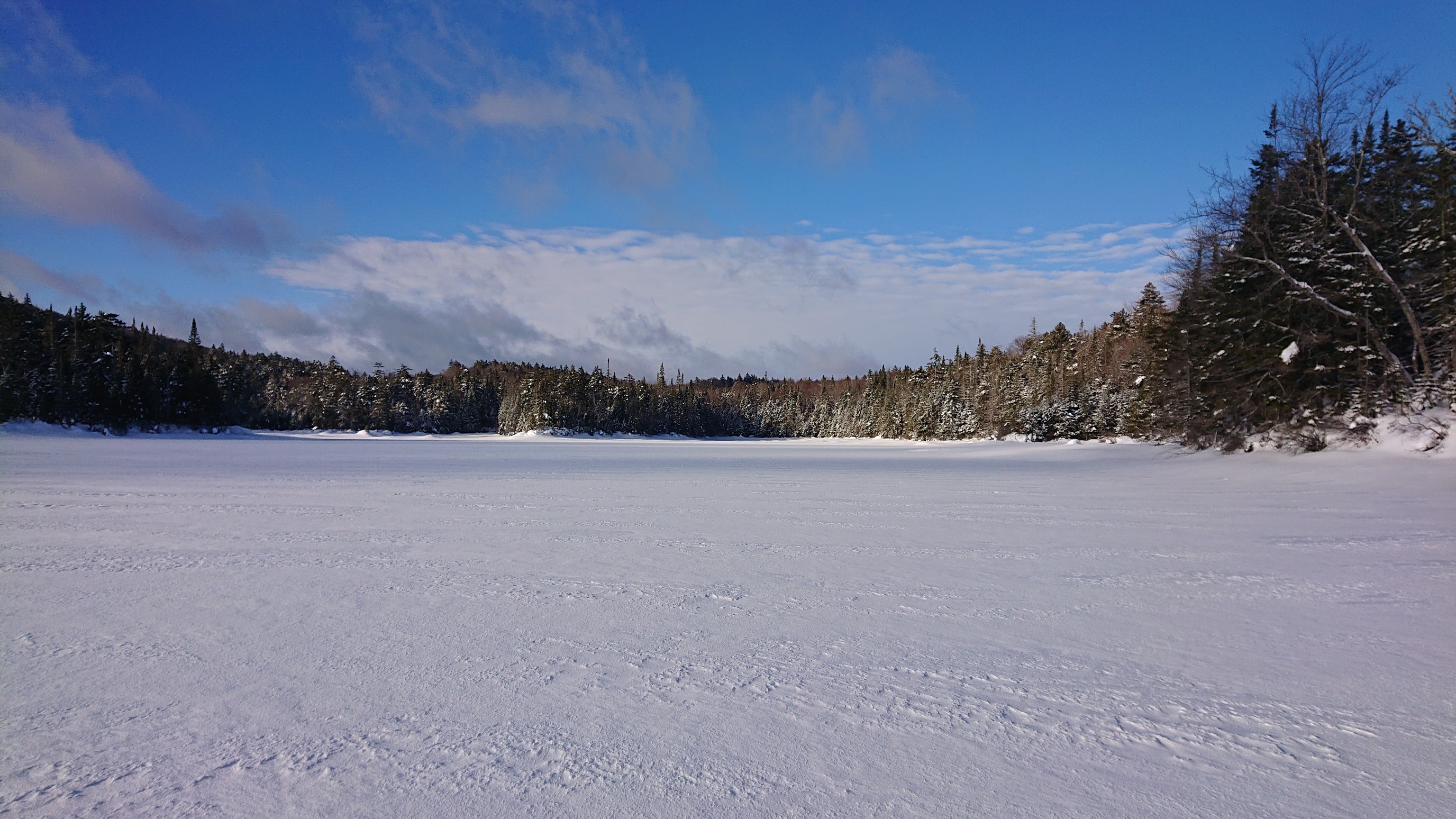
With the bridge obstacle successfully navigated, we re-entered the spruce forest. Besides the trail being poorly marked and the resulting minor mis-navigations, it was an uneventful section. Then, we decided to leave the NPT and ski across the frozen Mud Lake. That meant we would miss seeing West Lake and South Lake, but I knew the bridges and creek crossings in that area would be sketchy in winter, and better avoided. Looking south across Mud Lake:
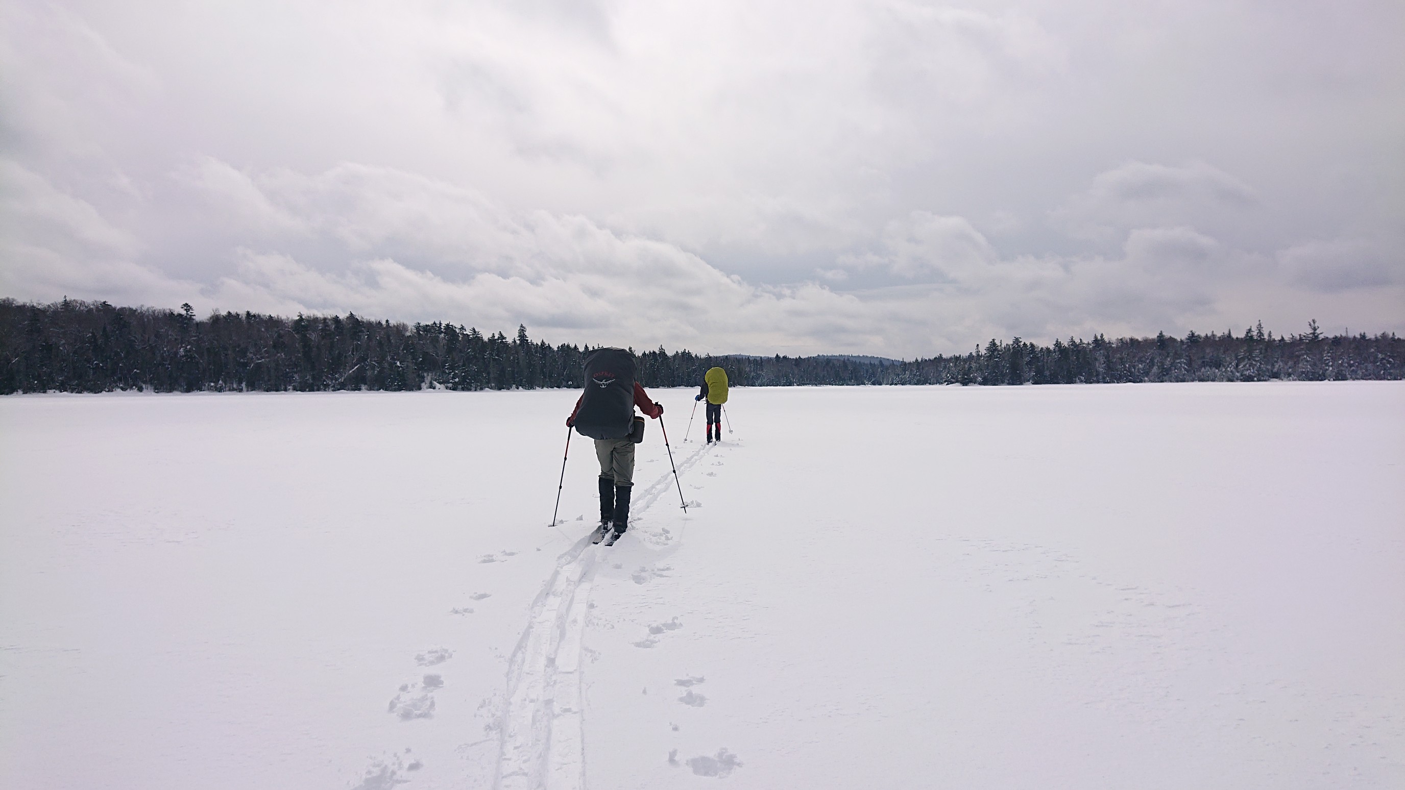
Looking west, towards South Lake:
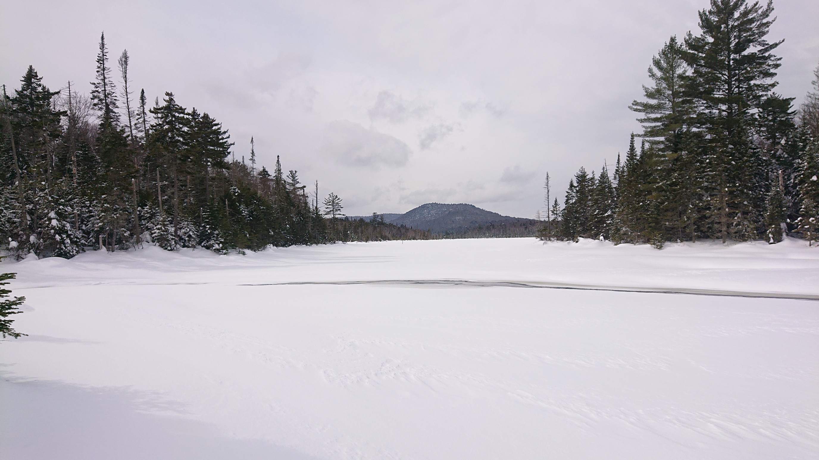
The final obstacle was crossing Whitney Creek, an inlet to Mud Lake. The ice was thick enough, but we knew there was moving water underneath. This photo is a few minutes after that final obstacle, and we are skiing along the frozen West Canada Creek.
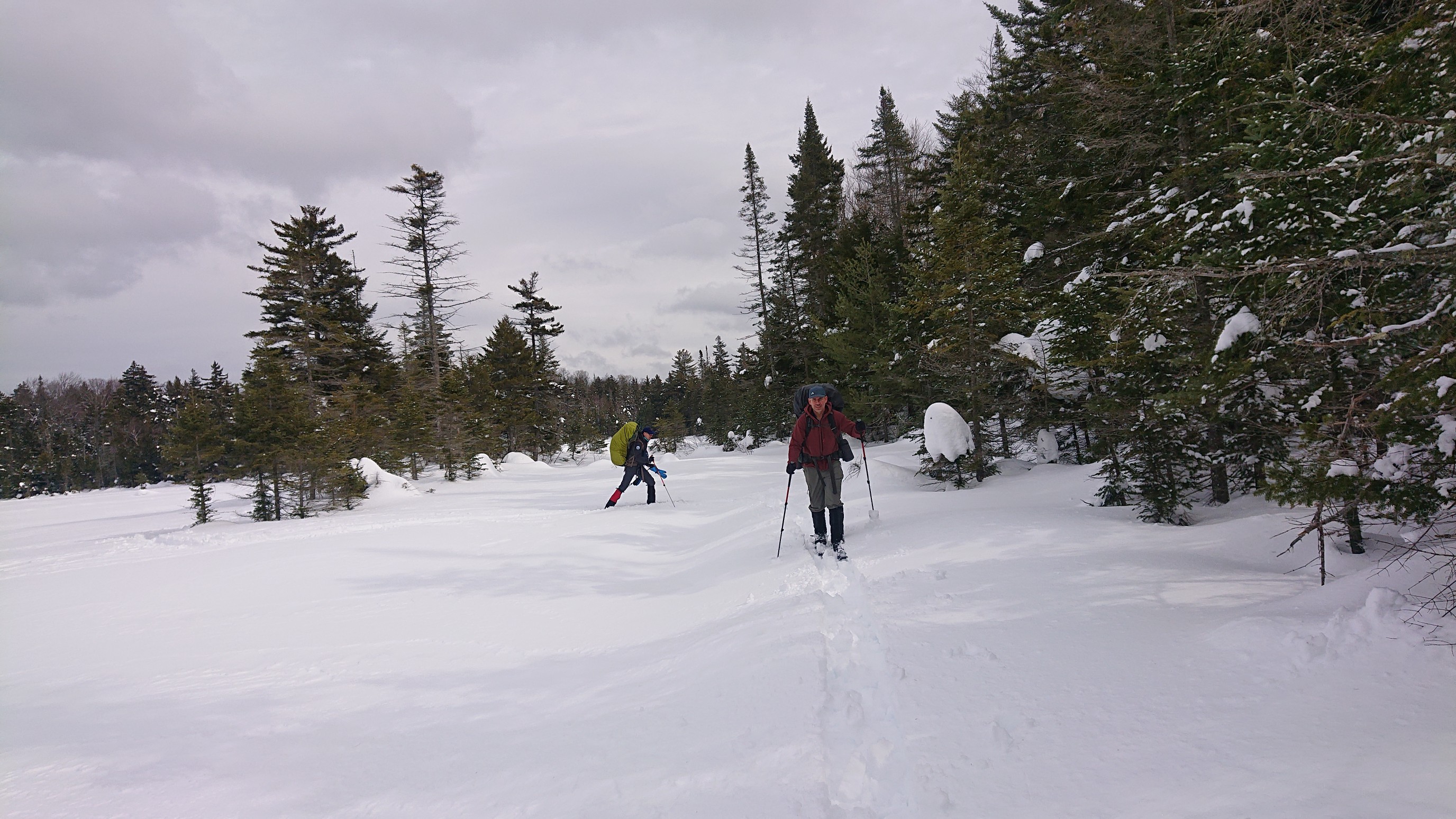
To exit the creek drainage, I climbed up a small hill, following some otter tracks. We were hoping to see the otter, but no luck today.
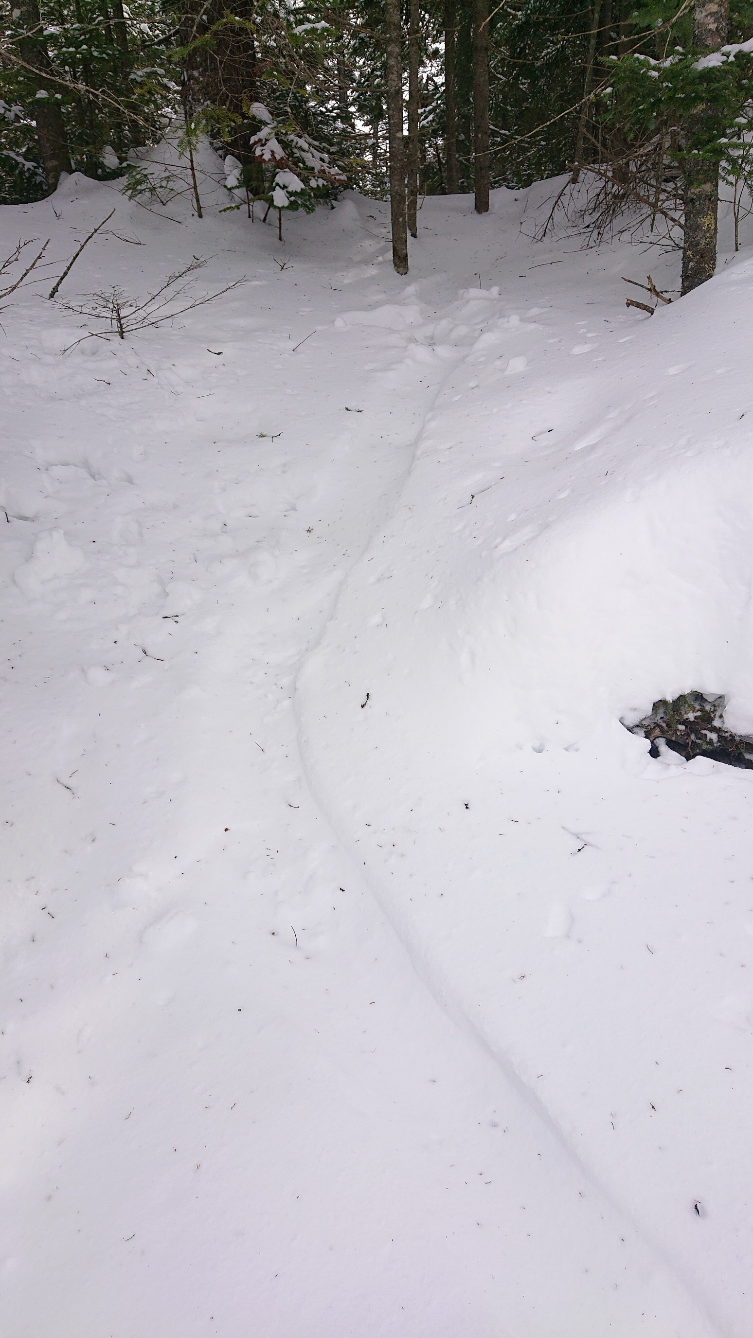
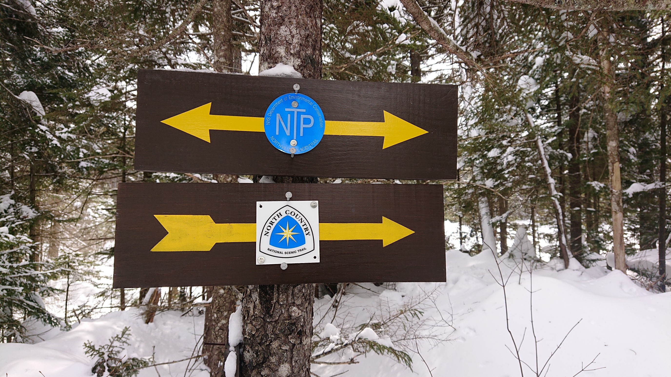
We side-stepped up the short but steep bank, and back onto the NPT. There is a junction here with the French Louie trail, and it’s also signed as the North Country National Scenic Trail! (The NC NST is a 4600mi/7400km hiking trail from North Dakota to Vermont). Tempting…
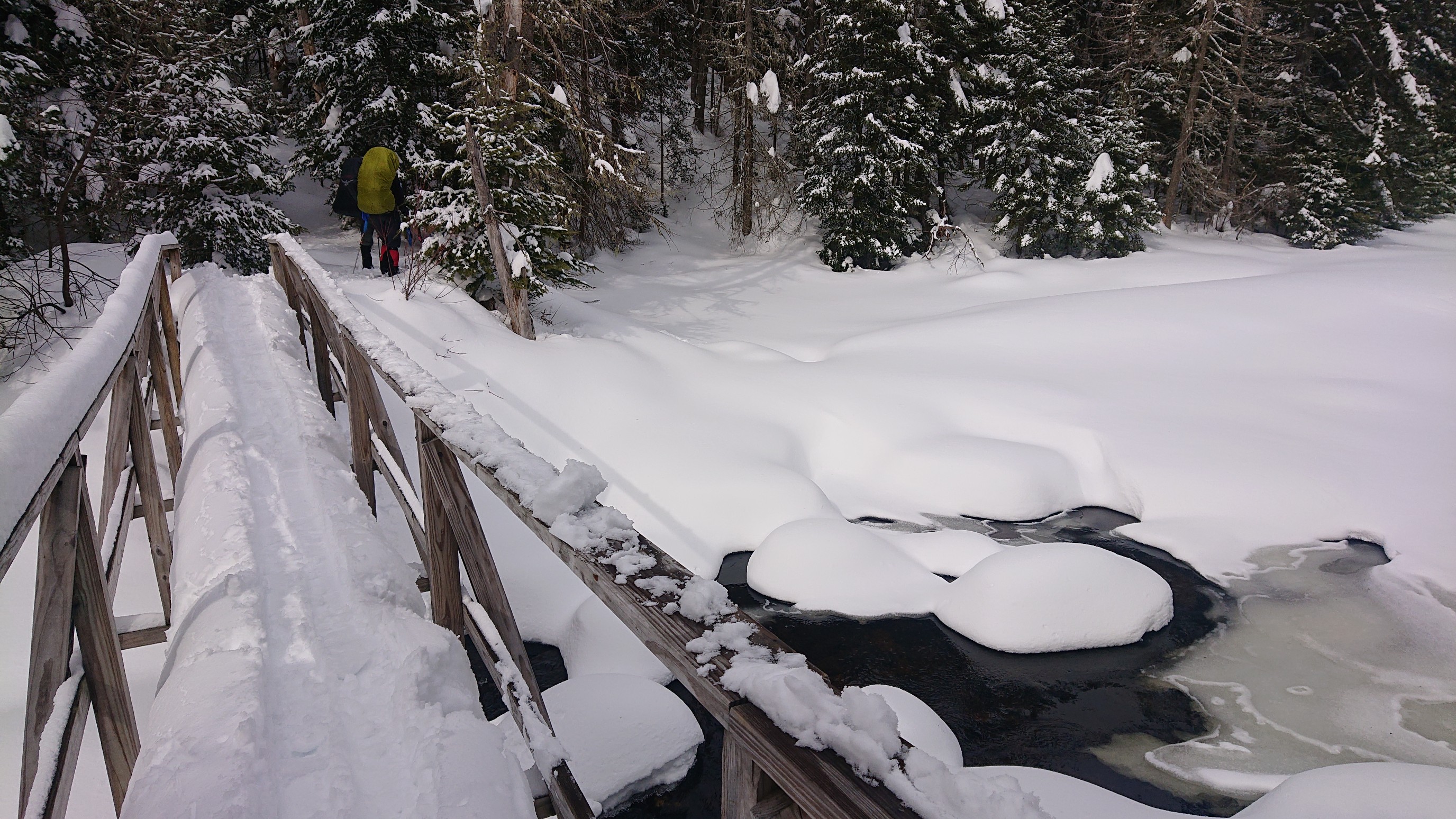
I turned my attention to crossing the bridge, and this one was easy. It had two handrails, and flat approaches.
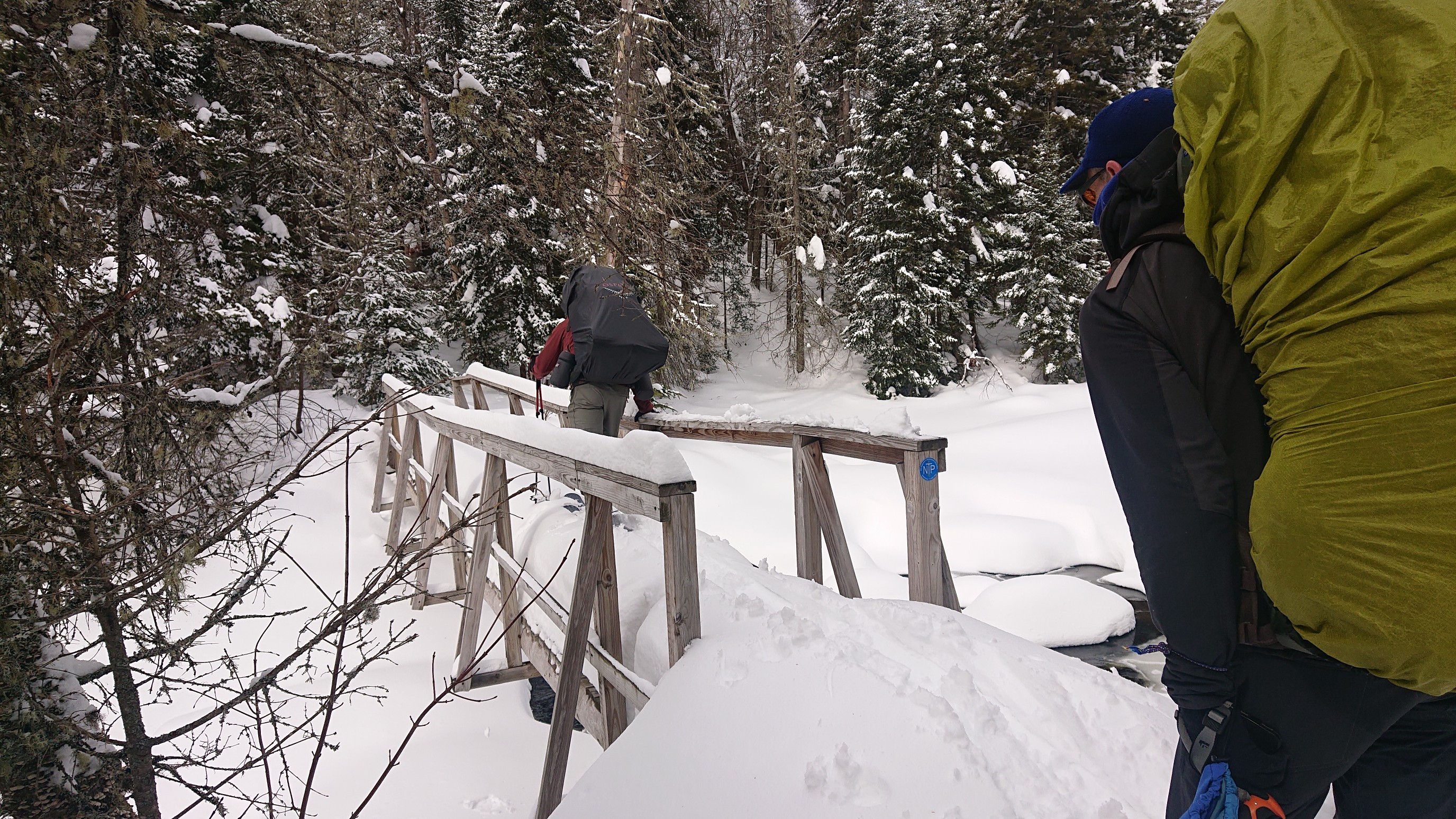
We all crossed uneventfully, and I was glad to have this bridge. Notice the open water to the right.
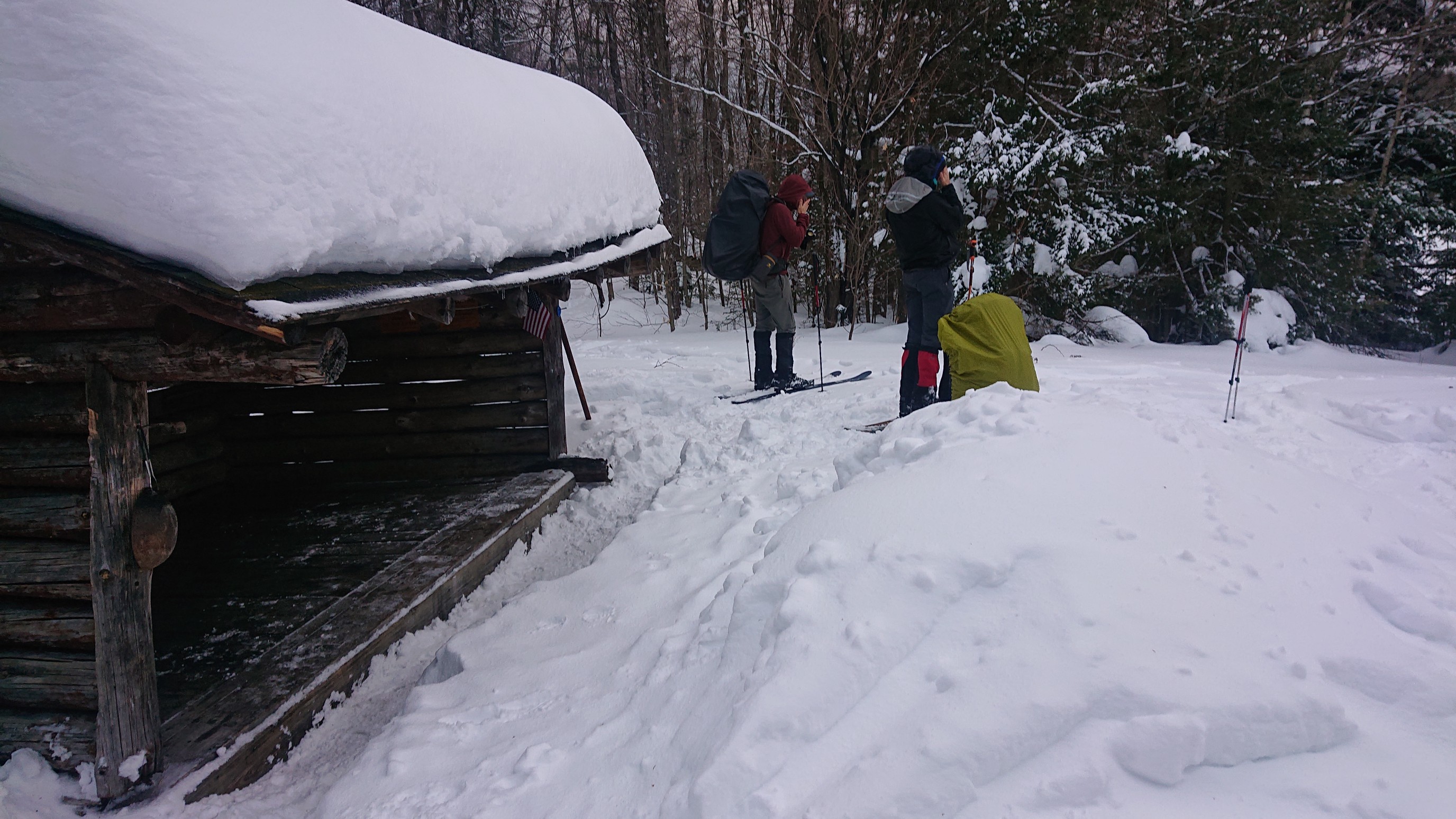
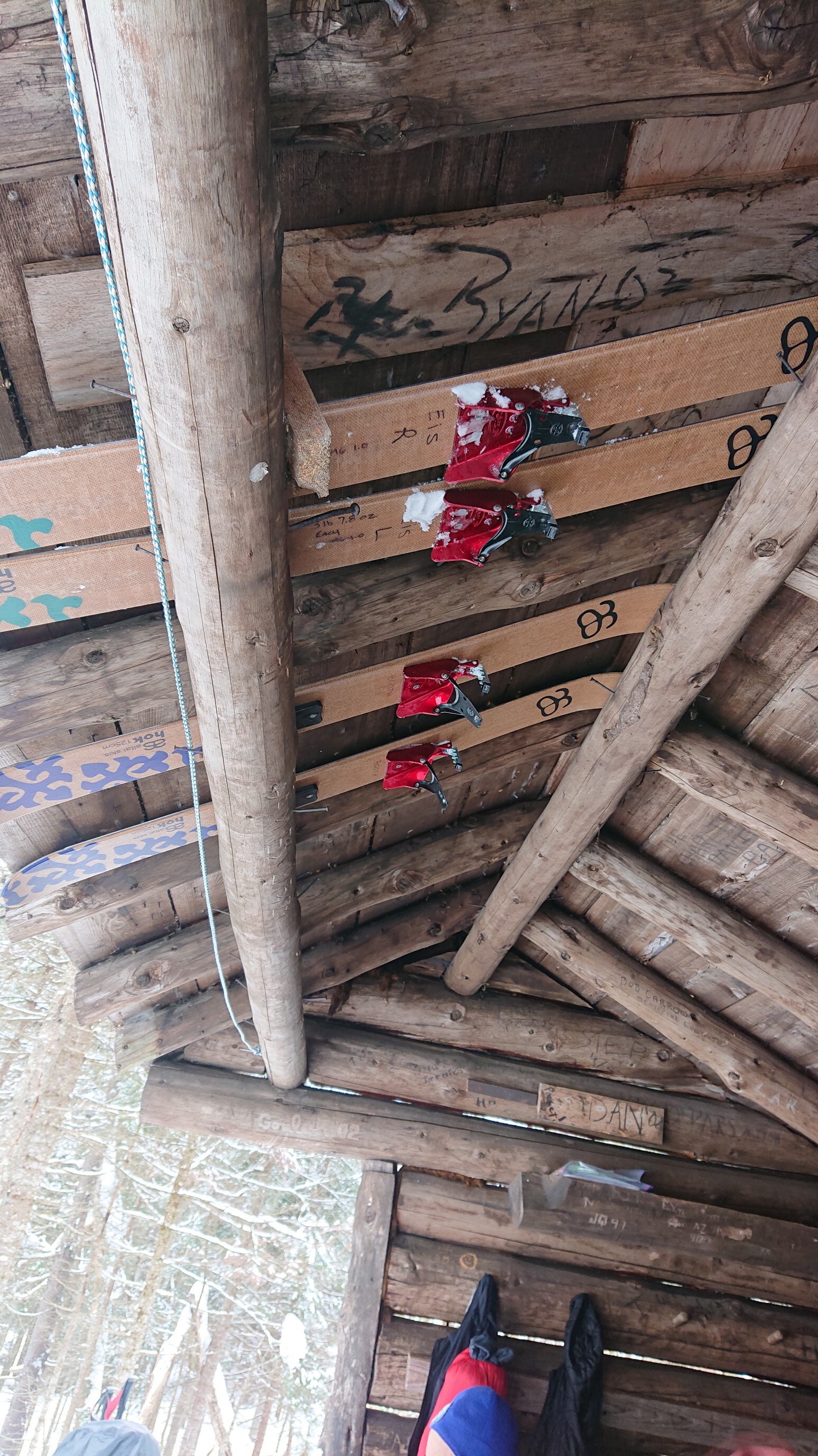
We arrived at the West Canada Creek Lean-to at 12:20pm, a short day. We were expecting a weather system to arrive this afternoon, and planned an early finish to the day. The weather system never arrived, but we had fun relaxing in the lean-to all afternoon. I discovered a way to store my skis in the rafters of the lean-to, which kept them dry and ice-free.
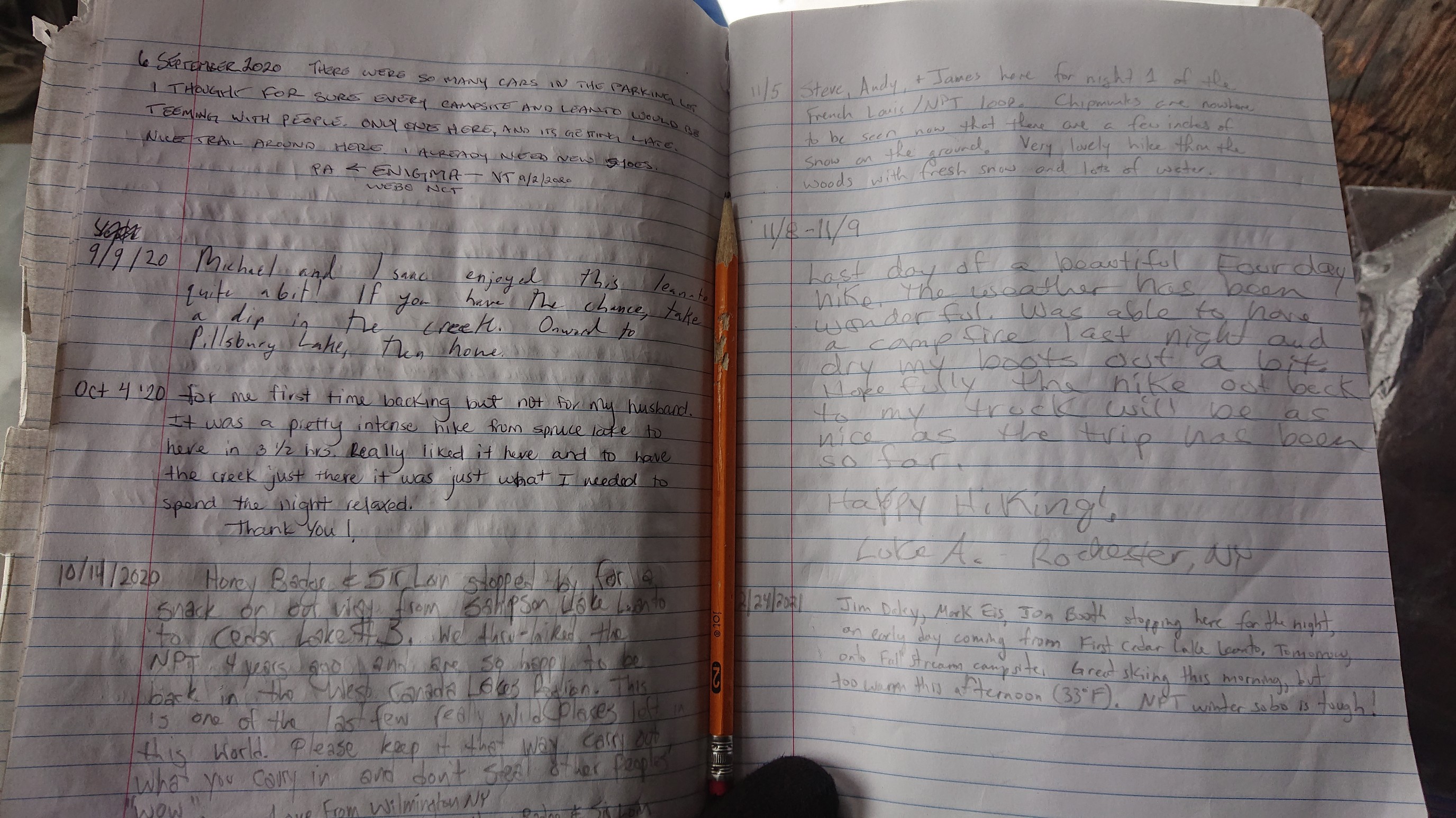
We have been signing into most of the lean-to logbooks we see, and I took a photo of this one to illustrate how remote this wilderness is. The last group to come through here was in early November!
We passed the time by reading, napping, and playing a dice game. Jim brought “Blisters”, a fun game developed by an AT thru-hiker. The rules are fairly simple, and its easy to spend an hour rolling the 6 multi-colored dice.
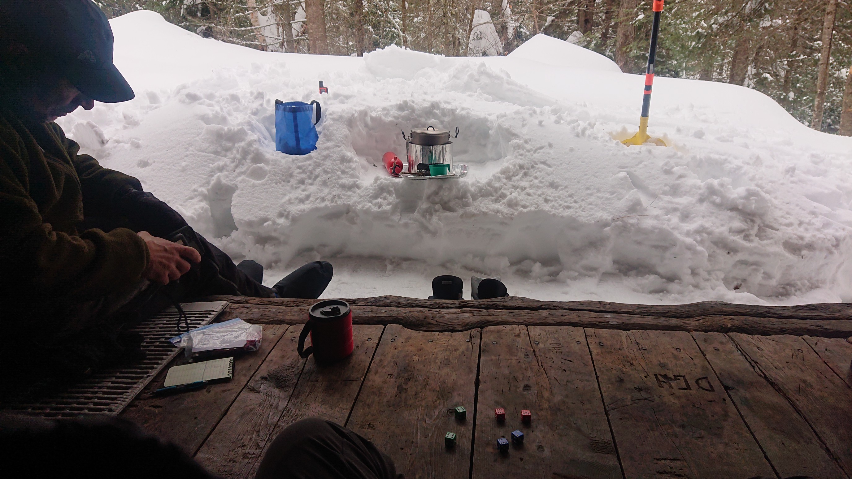
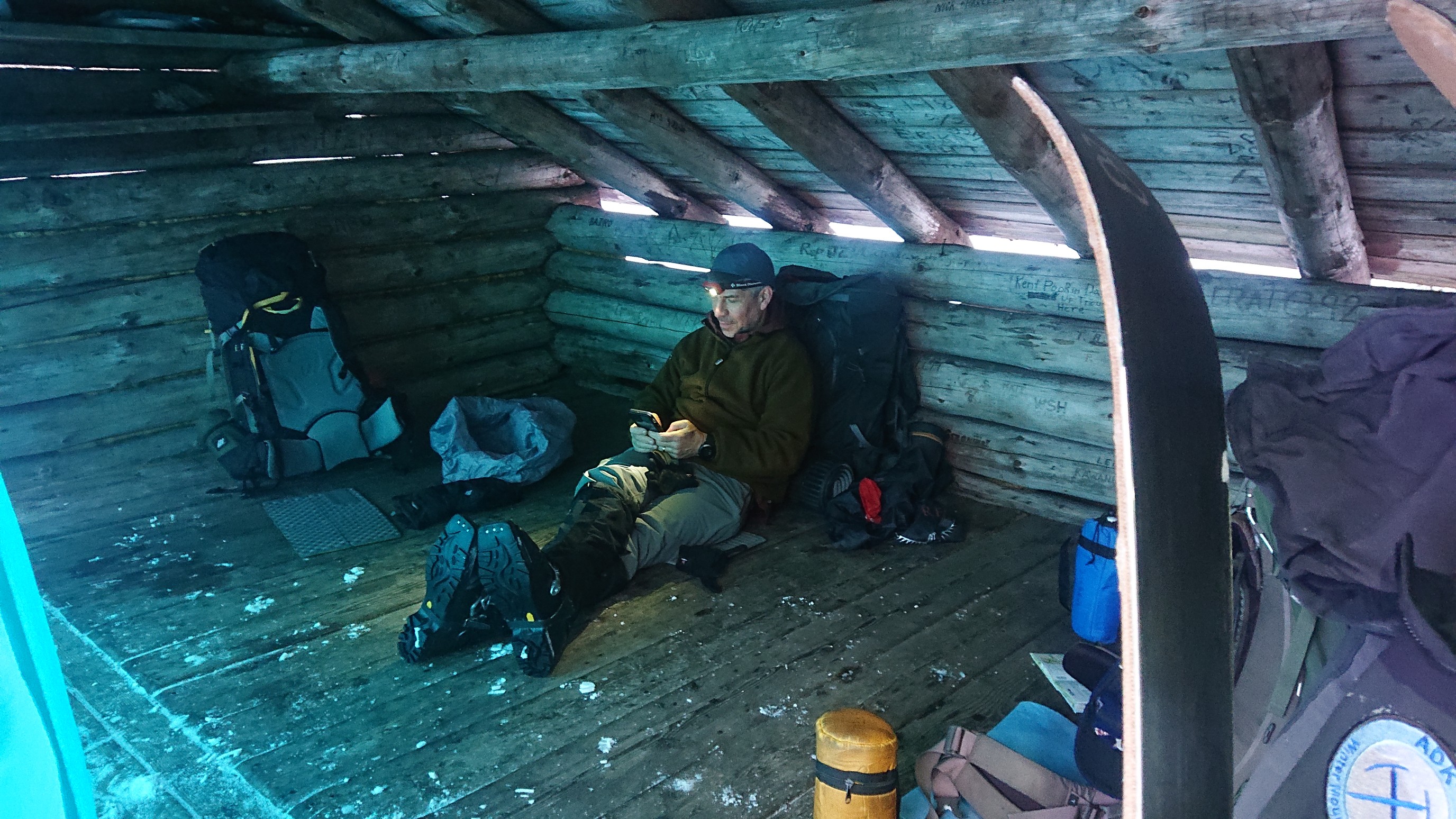
Our kitchen setup is pictured above, which is pretty typical of how we construct camp most nights. This night, we again chose to sleep in the lean-to, given the warm temperatures and expected incoming weather system (which didn’t materialize). Sunset is around 6pm, so we usually have an hour with headlamps on while eating dinner, and bedtime somewhere around 7:30pm. The dark photo below is Mark reading us a chapter from the Guy/Laura Waterman book.
It was overall a very good day, with a good ratio of fun/suckiness. Mark was able to get his boot mostly dried out using hot water bottles. Tomorrow we will begin our exit from this wonderful wilderness, continuing our southbound march to Piseco, and ultimately Northville.