Wednesday June 30, 18.7mi/30.1km
Twin Lakes/Hwy 82 (177.4/9324ft) to Waverly Mt. Ridgetop (196.1/11634ft) (CO)
I had a lazy morning eating multiple breakfasts and talking with the two CDT hikers, Blitz and Reality Check.
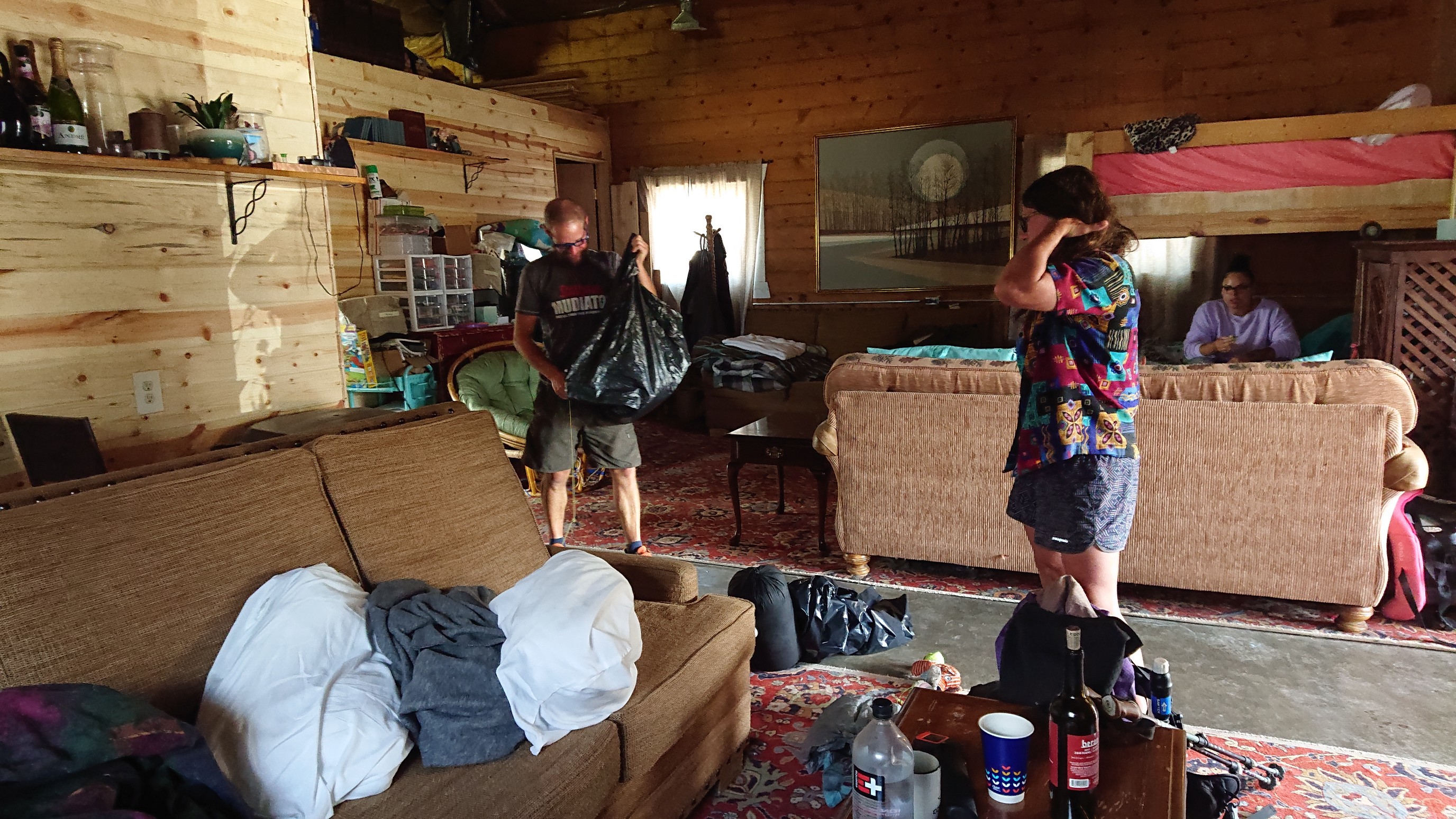
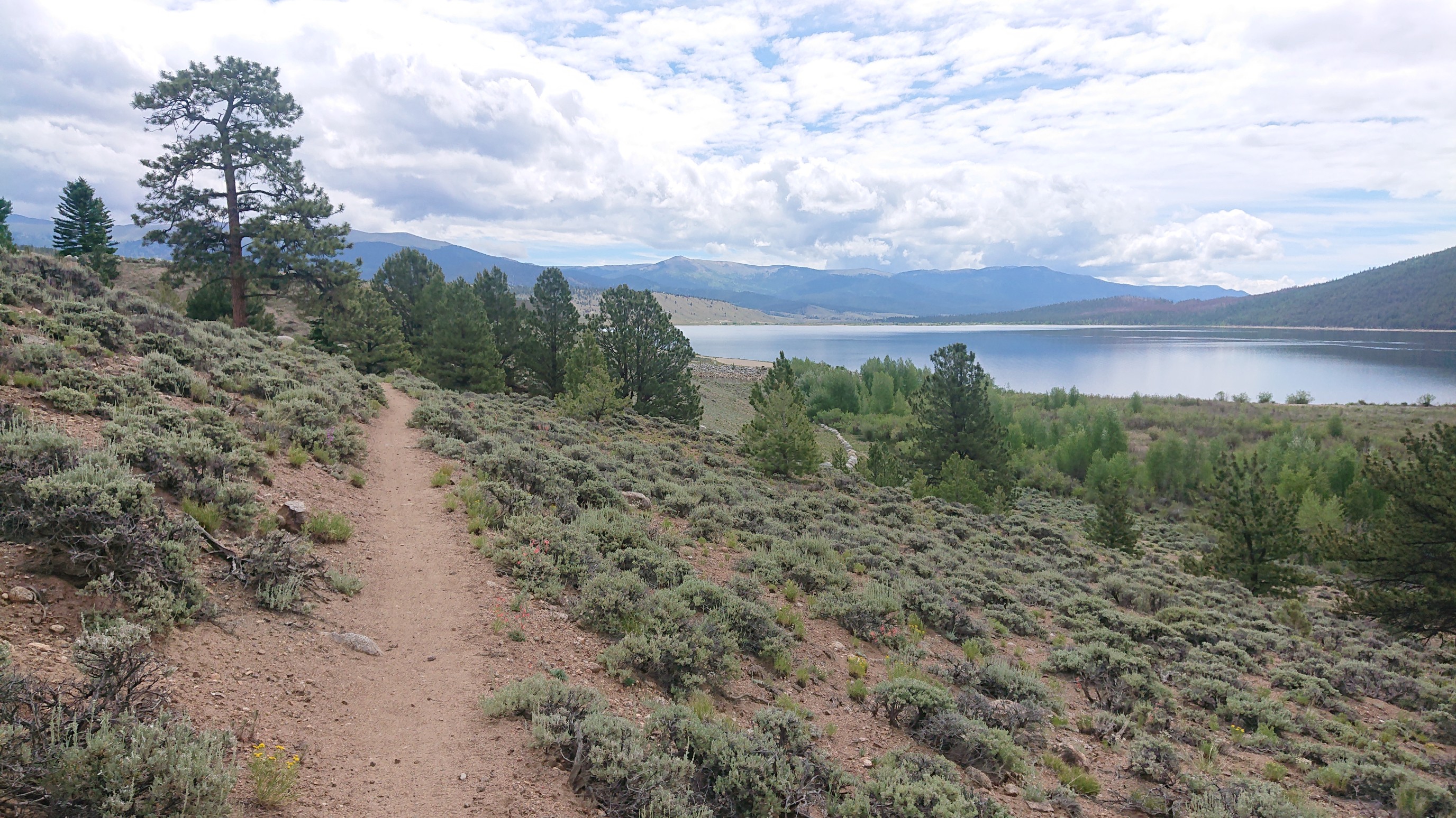
The hostel owner, Britney, gave us a ride back to the trail at 10:30am, and it was time to start walking! My feet had taken some abuse on all the steep downhills yesterday, so I was glad to have some easy flat terrain to start the day.

The view of Twin Lakes was a nice background too.
After an hour, I reached the far end of the lake, and crossed the outlet on a dam.
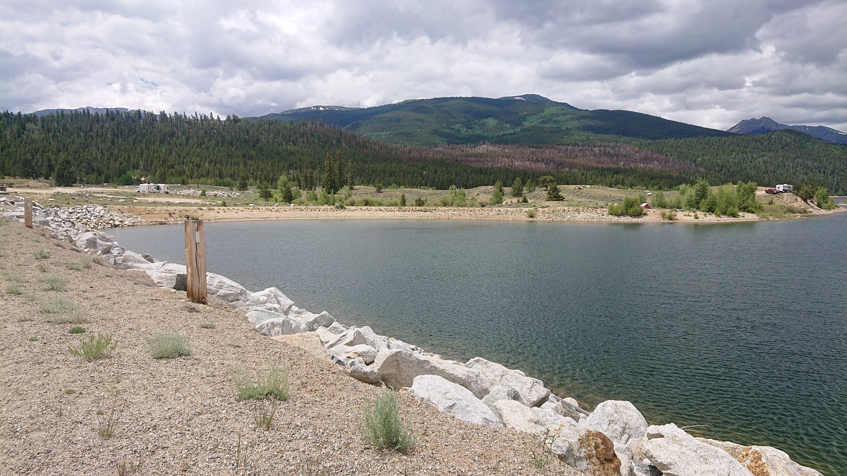
Looking behind me, I could still see Mt Elbert and Mt Massive, two of the tallest 14ers.

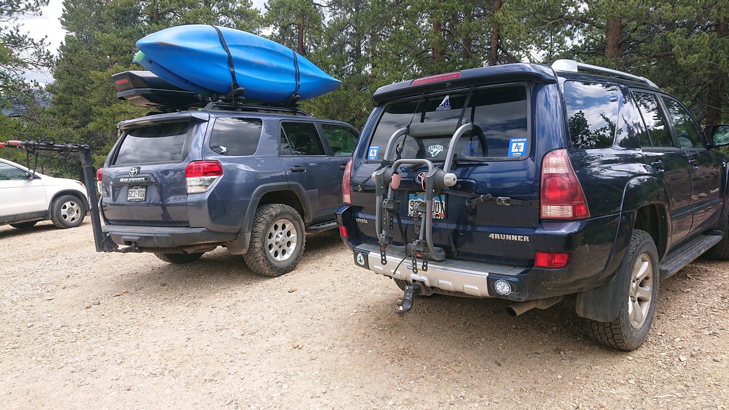
The trail left the lakeshore at a trailhead, and entered the woods. The parking lot was full, mostly with Subarus and Toyotas. It seems like the 4runner is the official vehicle of this town.
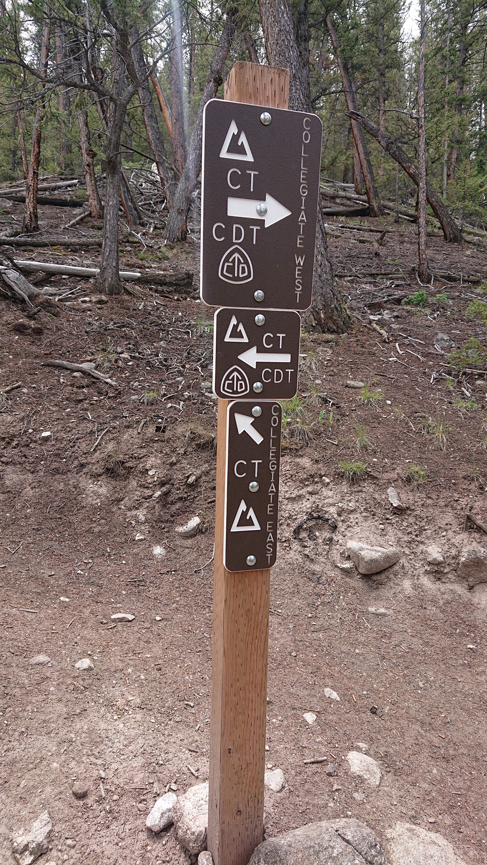
The trail climbed gradually at first, and then I came to a decision point. The Colorado Trail has two route choices here, “Collegiate East” and “Collegiate West”. I had already hiked the western route as part of the CDT in 2016, so I decided to hike the east and see something new.
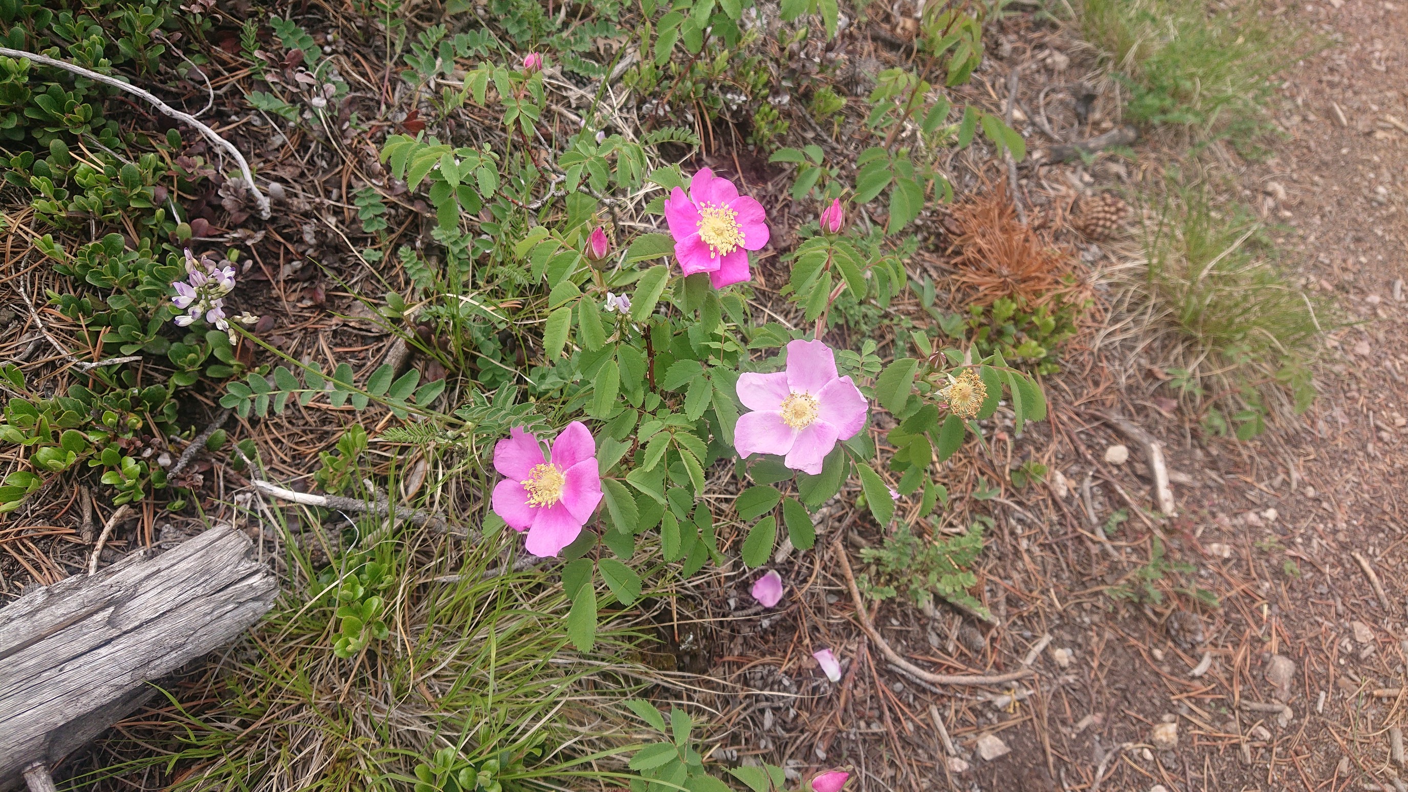
I climbed steeply away from the lake, and once I got higher I started seeing tons of wildflowers.
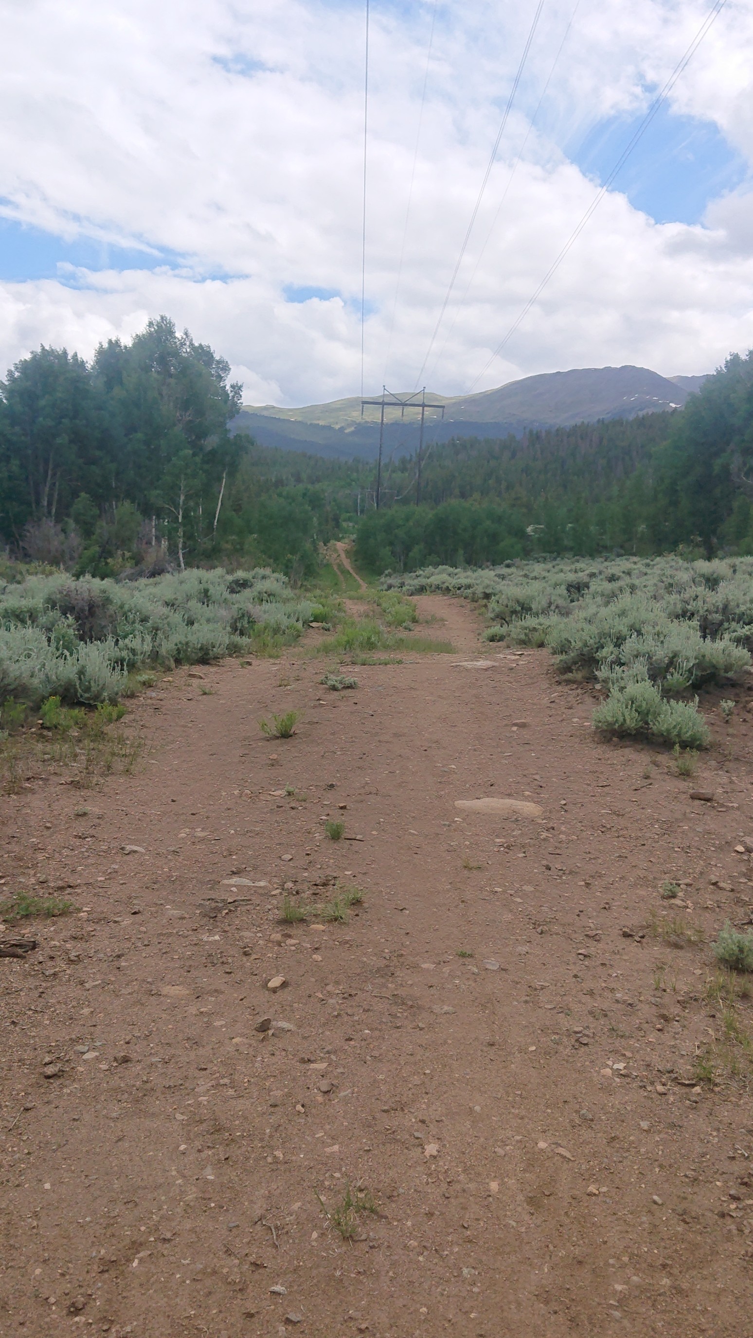
It was a relaxing afternoon, on an easy but uninteresting terrain. At one point, the trail even followed a powerline for a mile. Meh.
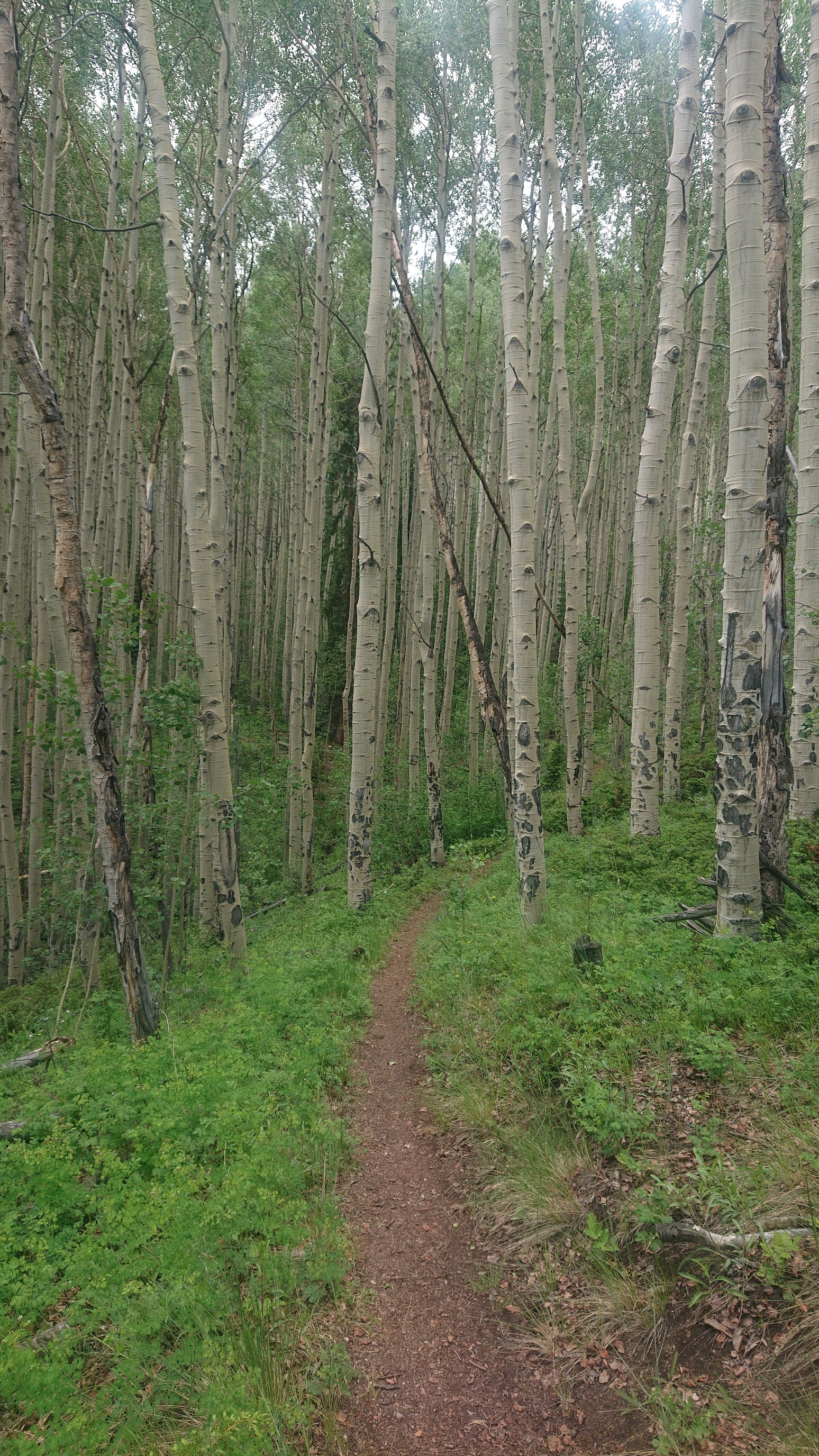
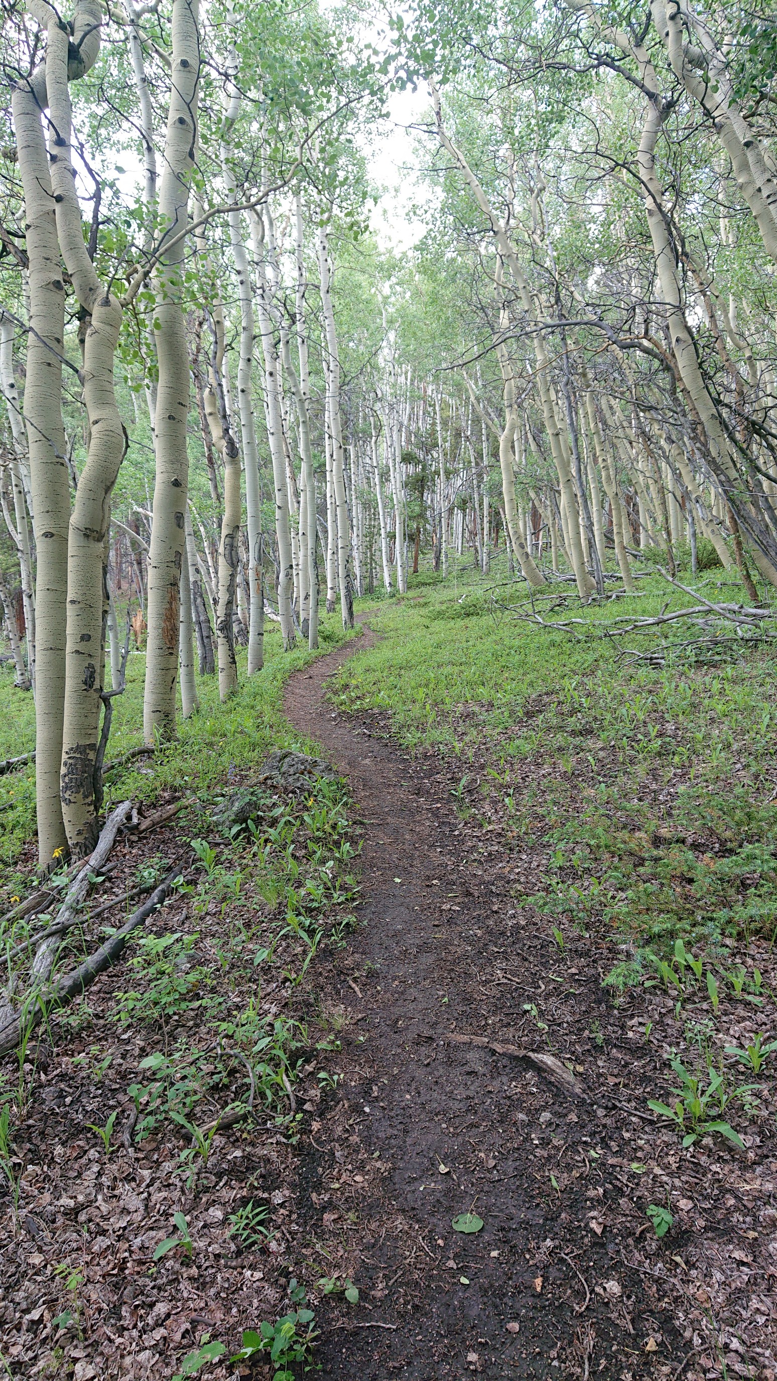
The aspen forests are so cool though. Lush green ground cover, and tons of white-barked trunks.
At the top of a long descent into the Clear Creek valley, there was a surprisingly good overlook. It was quite a vantage point, so high above the valley floor.
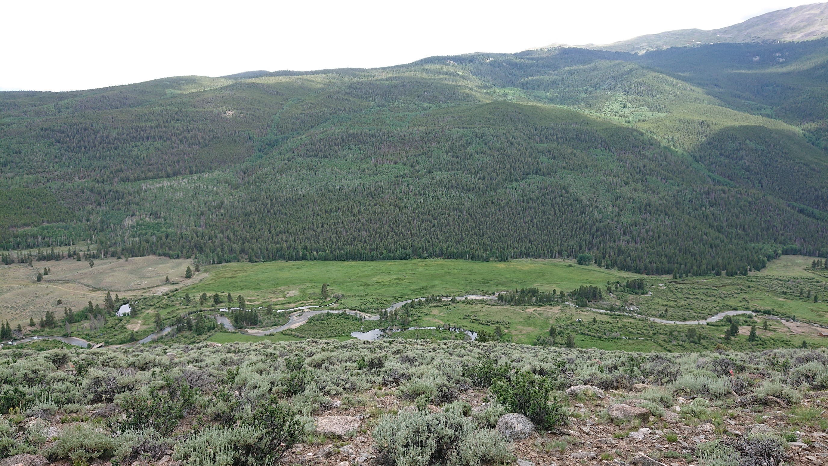
The trail descended on many switchbacks, with views in all directions.
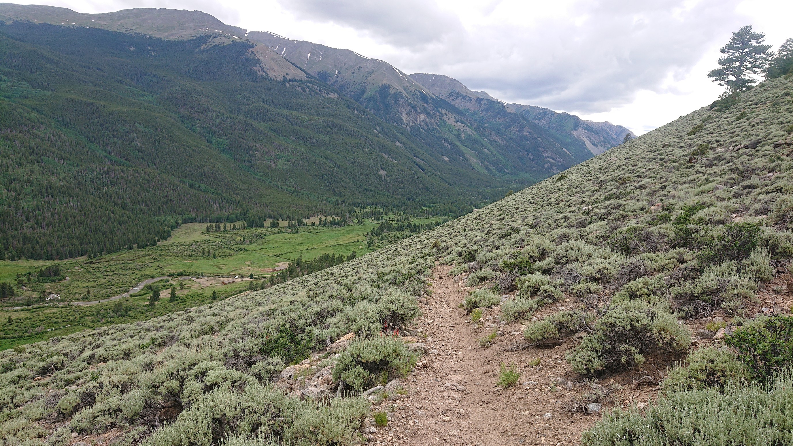
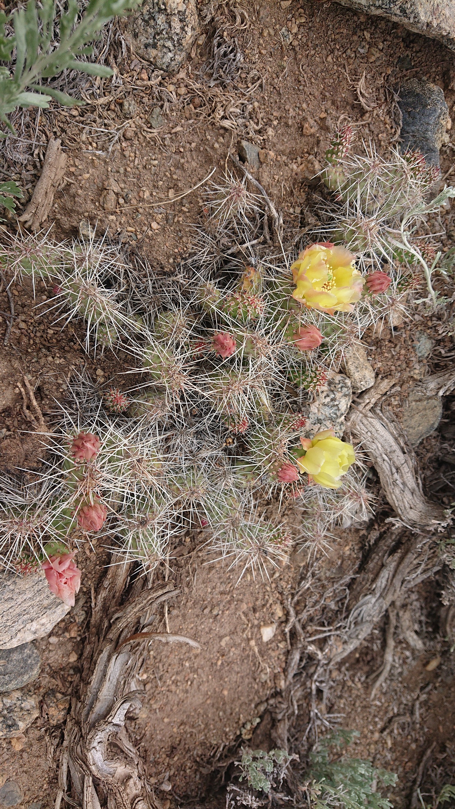
As I got lower, the vegetation changed to plants adapted to the more arid climate.
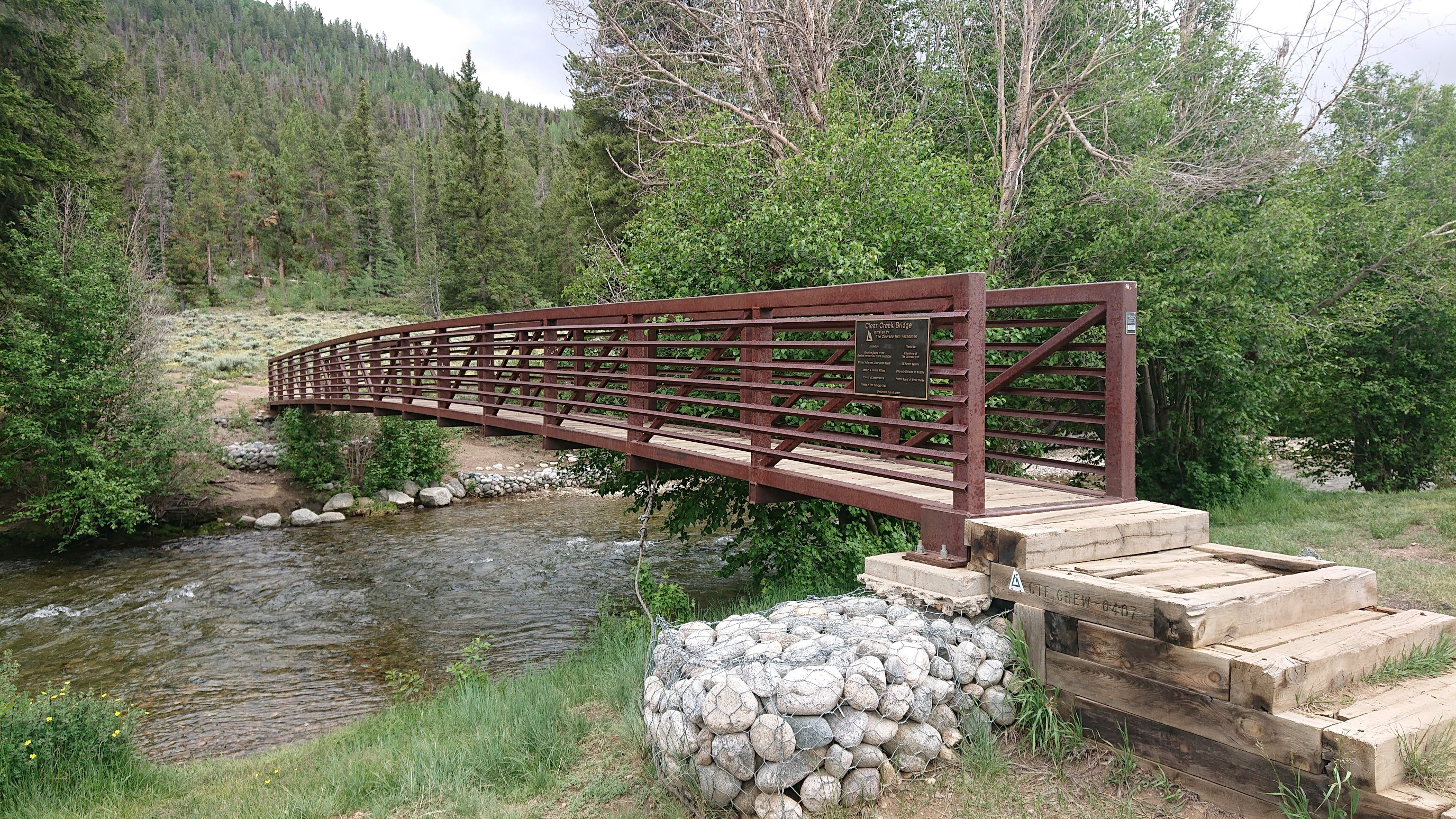
At the bottom of the descent, I caught up to a two girls hiking the Collegiate Loop. It was their first day out, and coming from sea level, they were calling it a day at the primitive campground by Clear Creek. I kept going, and crossed the bridge.
The next 5 miles was all uphill, climbing 2700ft to the top of a ridge. It was slow going, but I was enjoying the cool sunny weather.
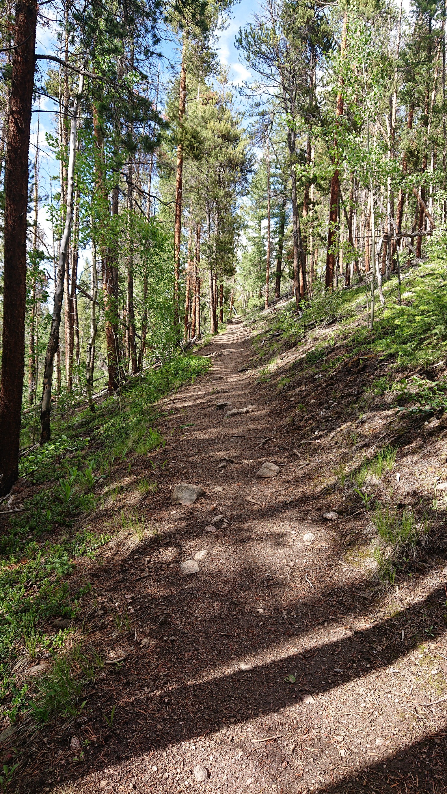
Up, up, up! After an hour I had climbed high enough to reach the aspen zone.
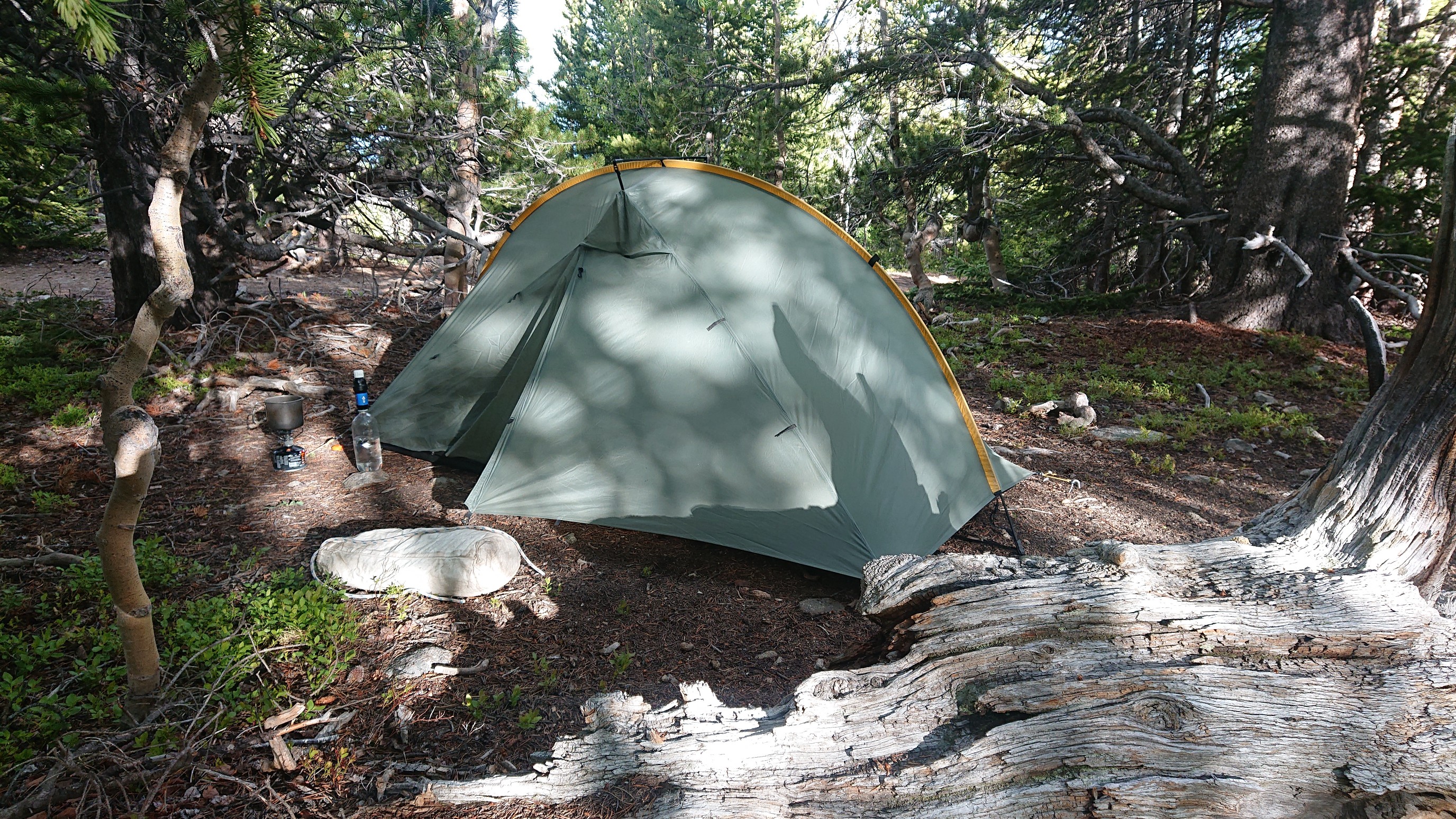
I stopped at the top of the ridge and setup camp. It was kinda cold up here at 11,600ft, but at least it was sunny.
Even though it was a short mileage day, I was still tired from the sun, and the big climb. I ate extra food for dinner, since I’m on pace to be in Salida on Saturday, and have more food than I need.