Friday July 2, 22.5mi/36.2km
South Cottonwood TH (218.7/9005ft) to Fourmile Creek (241.2/9774ft) (CO)
I woke up to a wet tent, as usual. I packed everything up, knowing I would stop to dry it out later this morning. The weather was bright and sunny today.
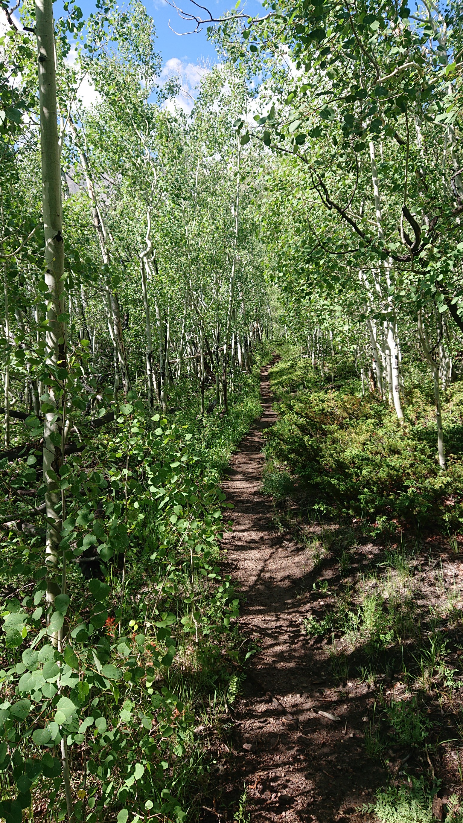
I reached the top of a short 1000ft climb, and the forest opened up, with surprisingly good views of Mt Princeton ahead.
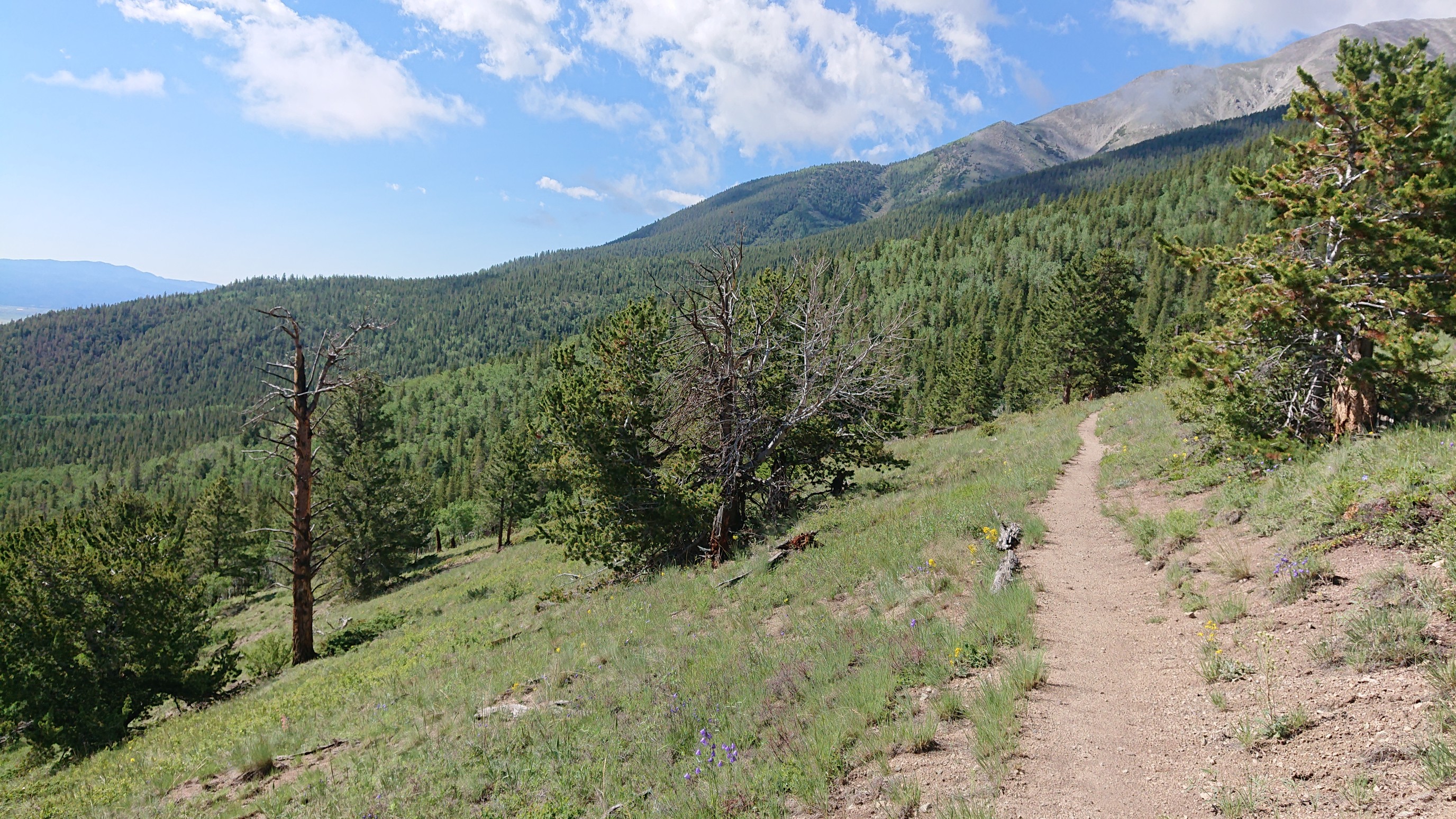
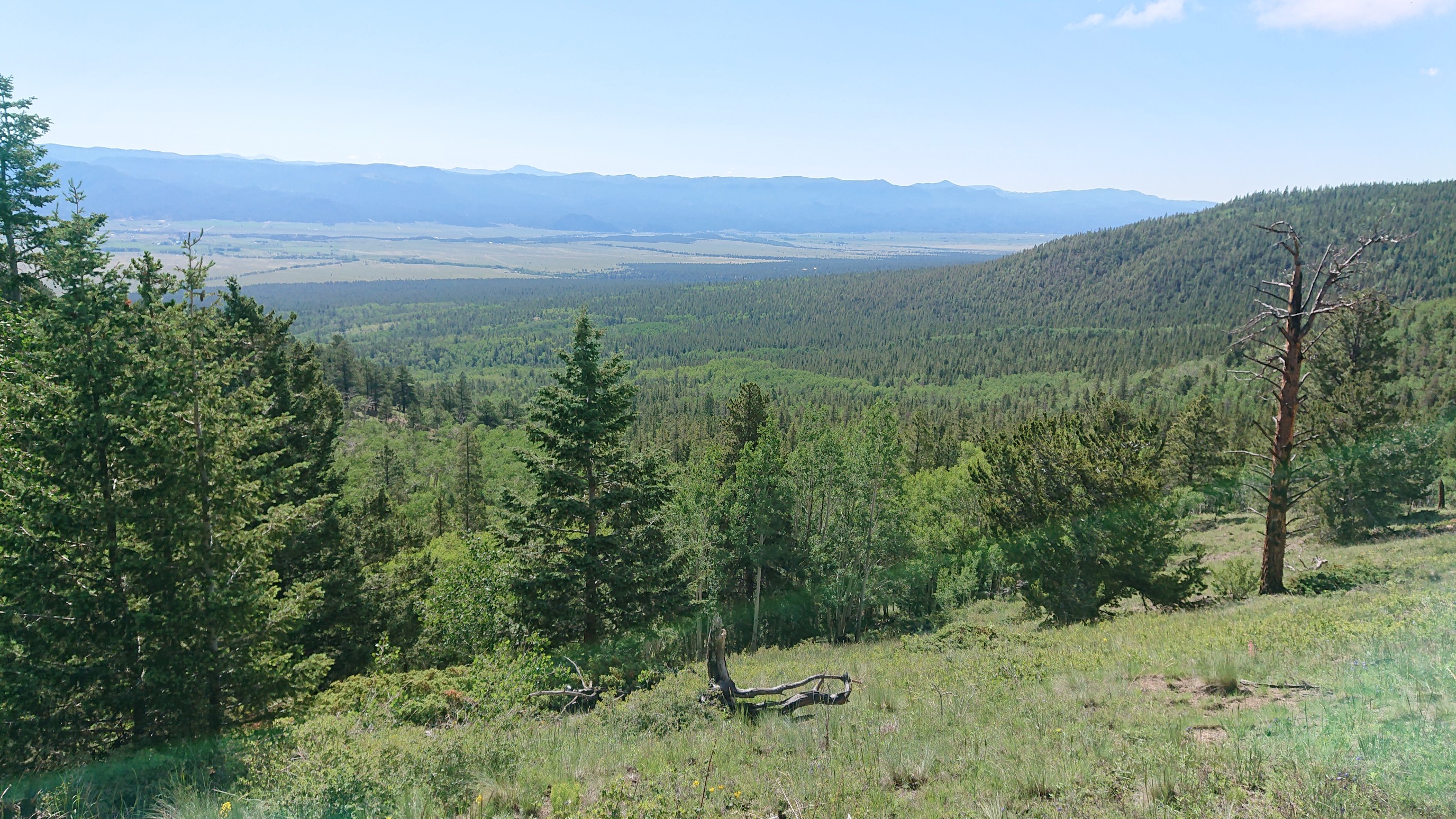
And as usual, I could see down to the Arkansas River valley below.
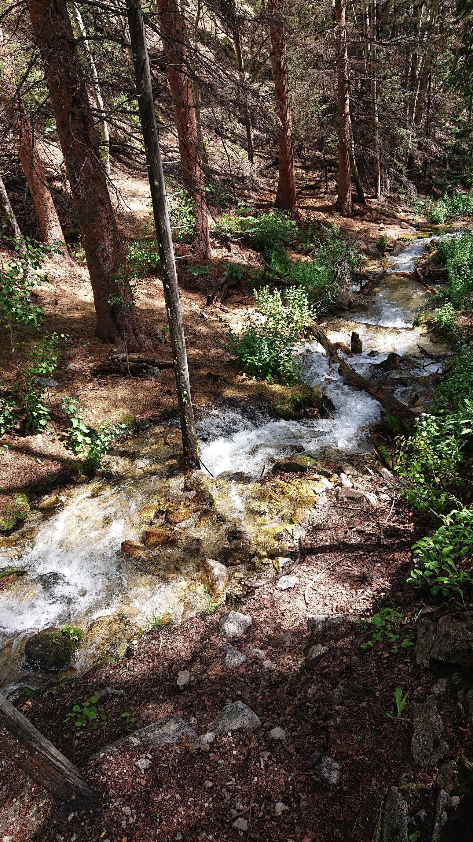
With all the rain last night, the little streams were gushing, even more than yesterday. This one was almost up to the bottom of the little bridge that spanned it.
Apparently the CT goes thru private property, and this was well advertised to its users.
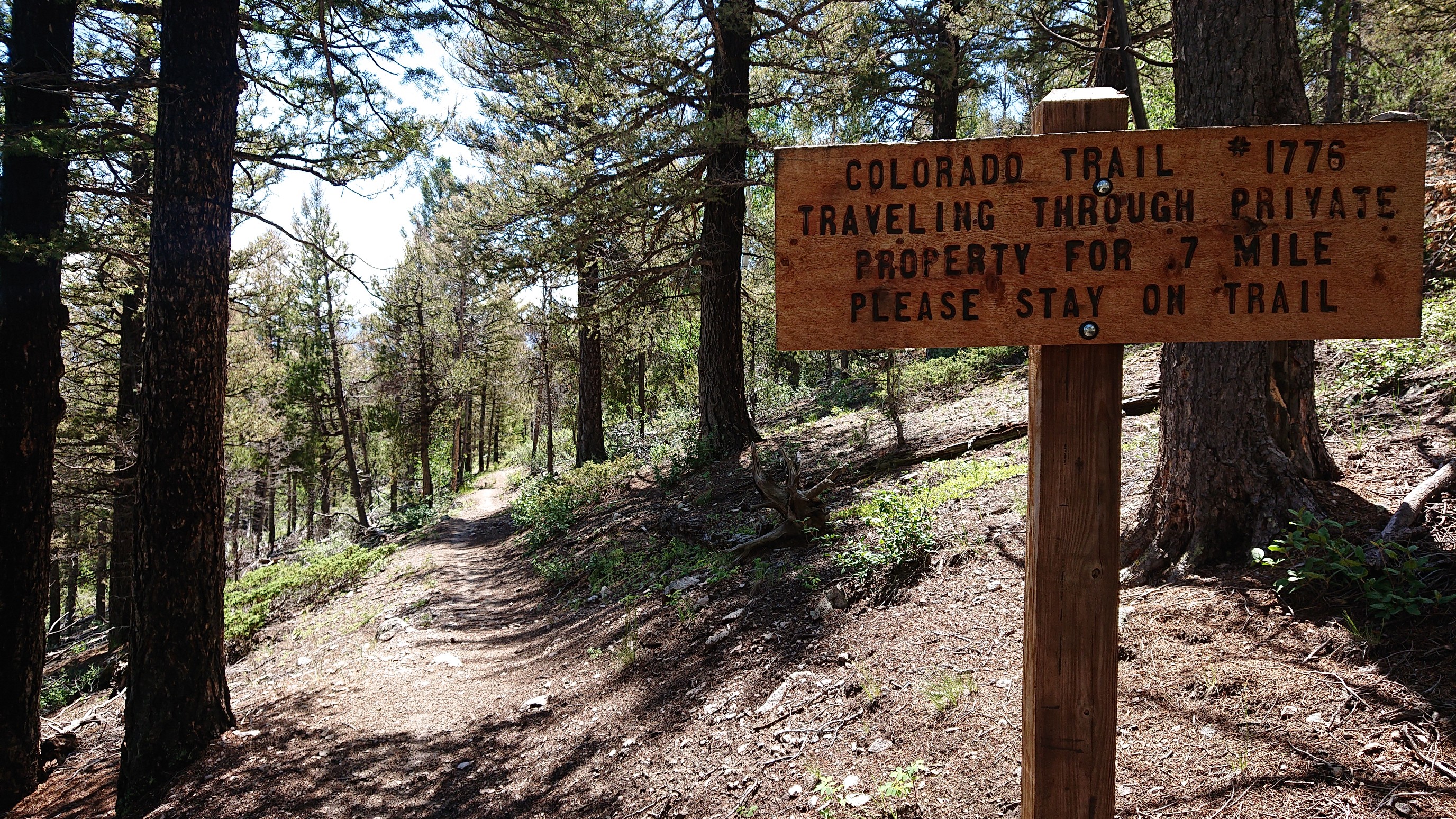
After 10 minutes, the trail joined a dirt road, and in 10 more minutes, it passed a ranch.
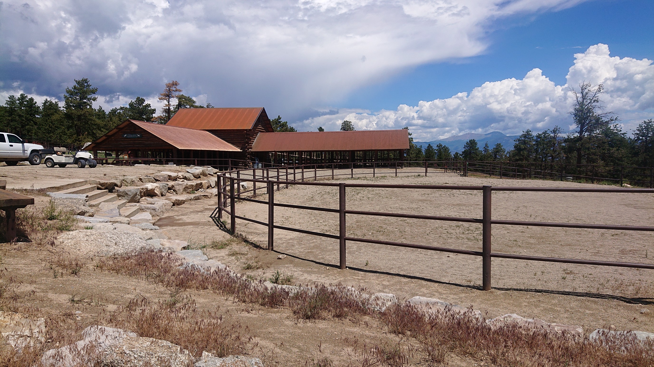
At this point, the road became a wider paved road, and I was baking in the hot sun.
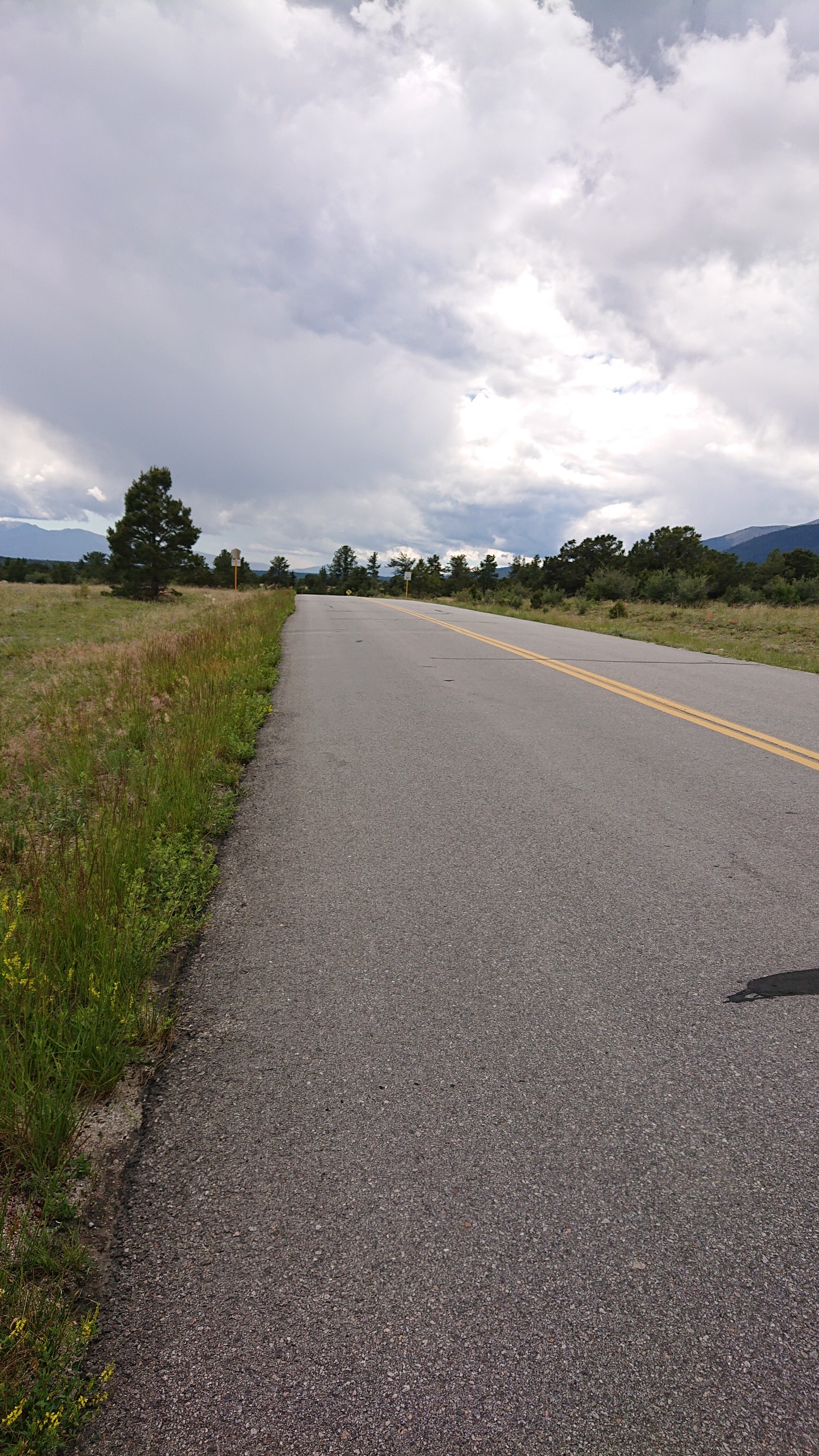
I could see storm clouds amassing just to the south, and hear the thunder too.
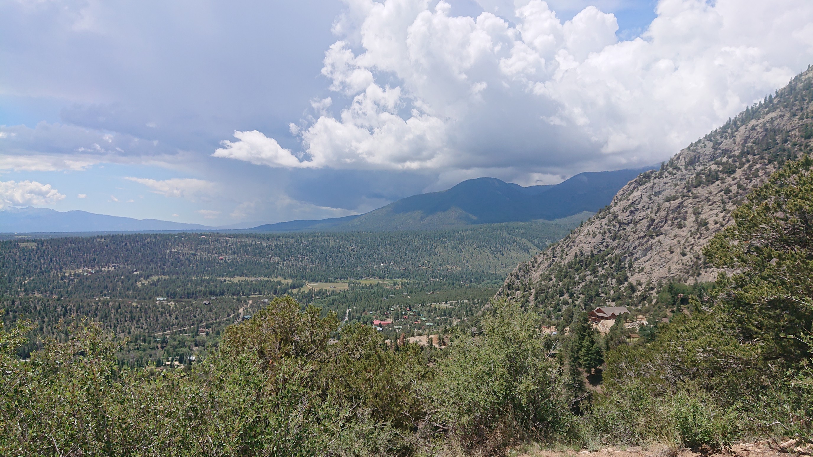
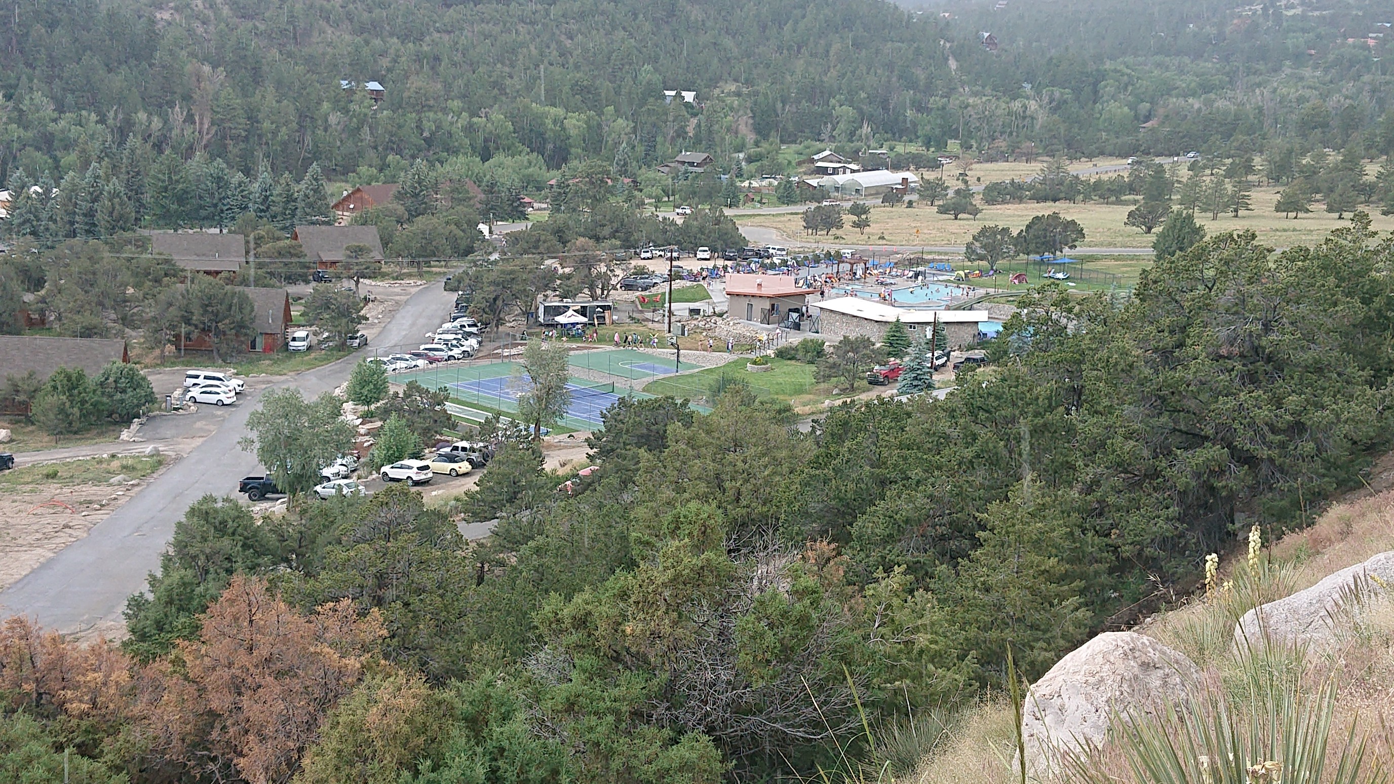
As I walked the road down into the Chalk Creek Valley, I could see down into Mt Princeton hot springs resort.
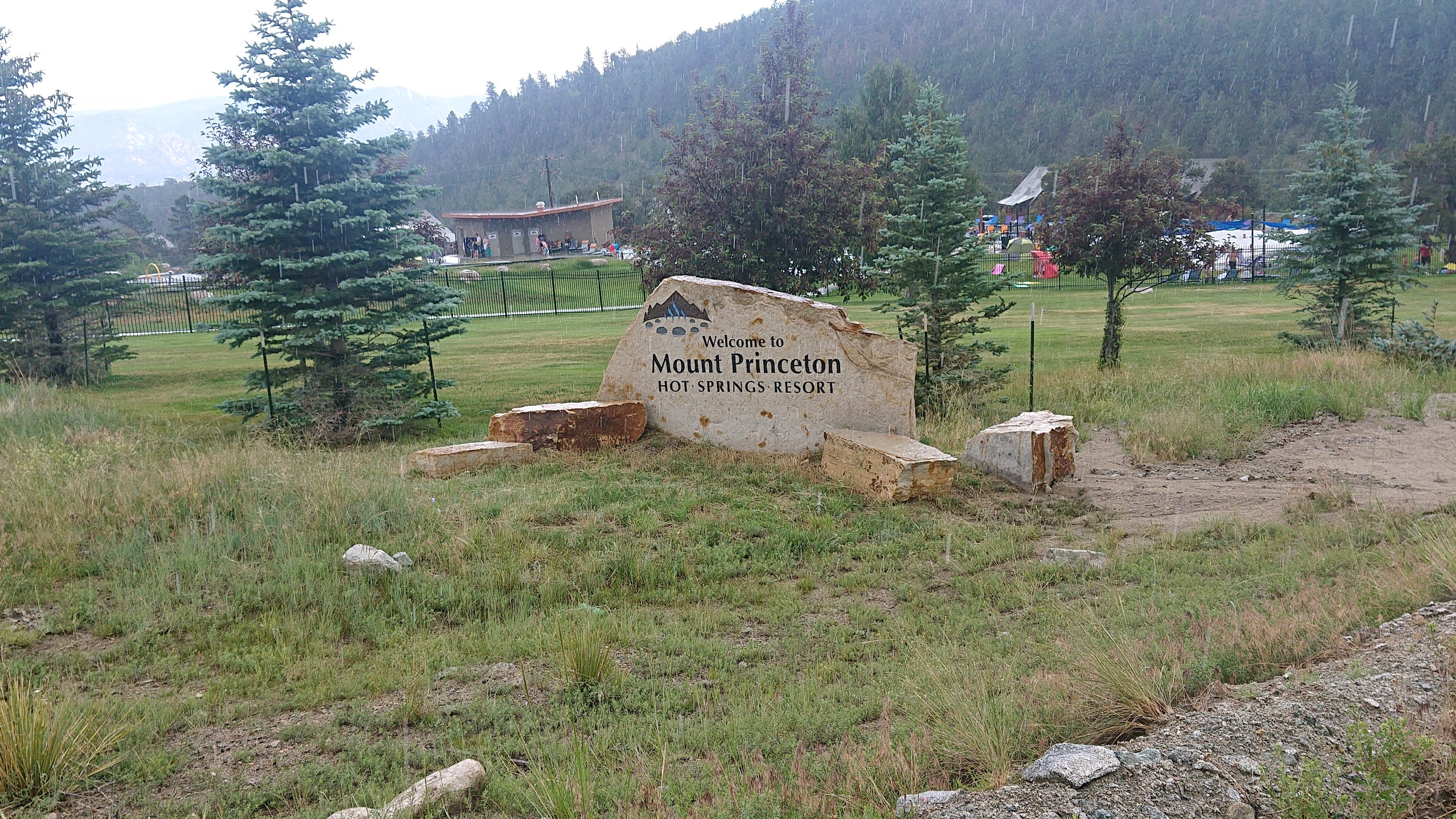
A mile later, I was walking by the entrance. Normally it would be tempting to make a visit, but with the thunder and lightning, the water attraction seemed like a bad idea.
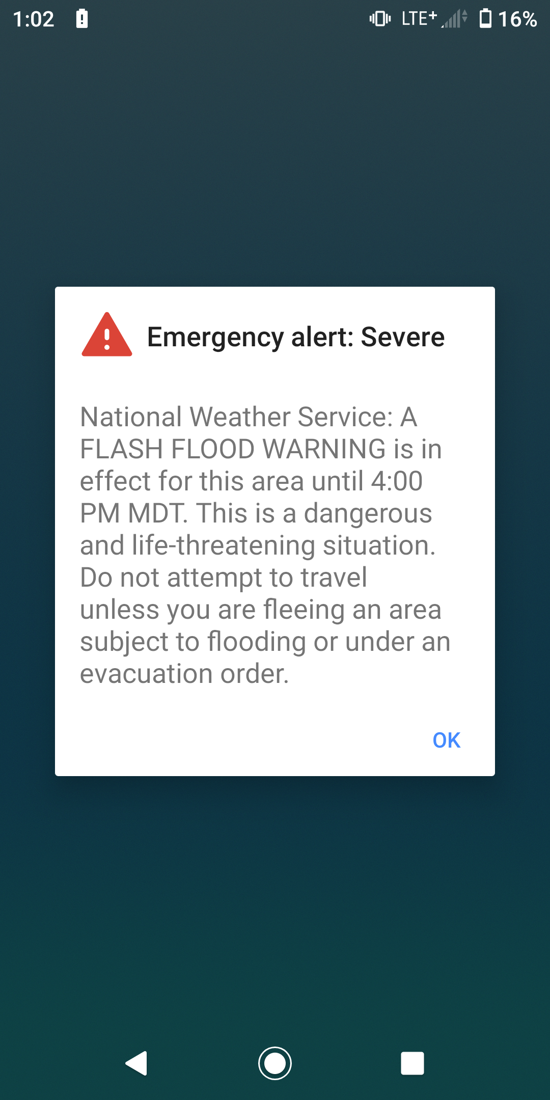
I had just started walking down the road again when I passed two hikers, Crocs and Jibz. They each mentioned that there was possibly beer and food somewhere at the resort, and I spontaneously decided to join them. We eventually found a place with food (there were several) and a roof, to keep us dry from rain. During our meal of burgers and salad, I received this ominous warning on my phone:
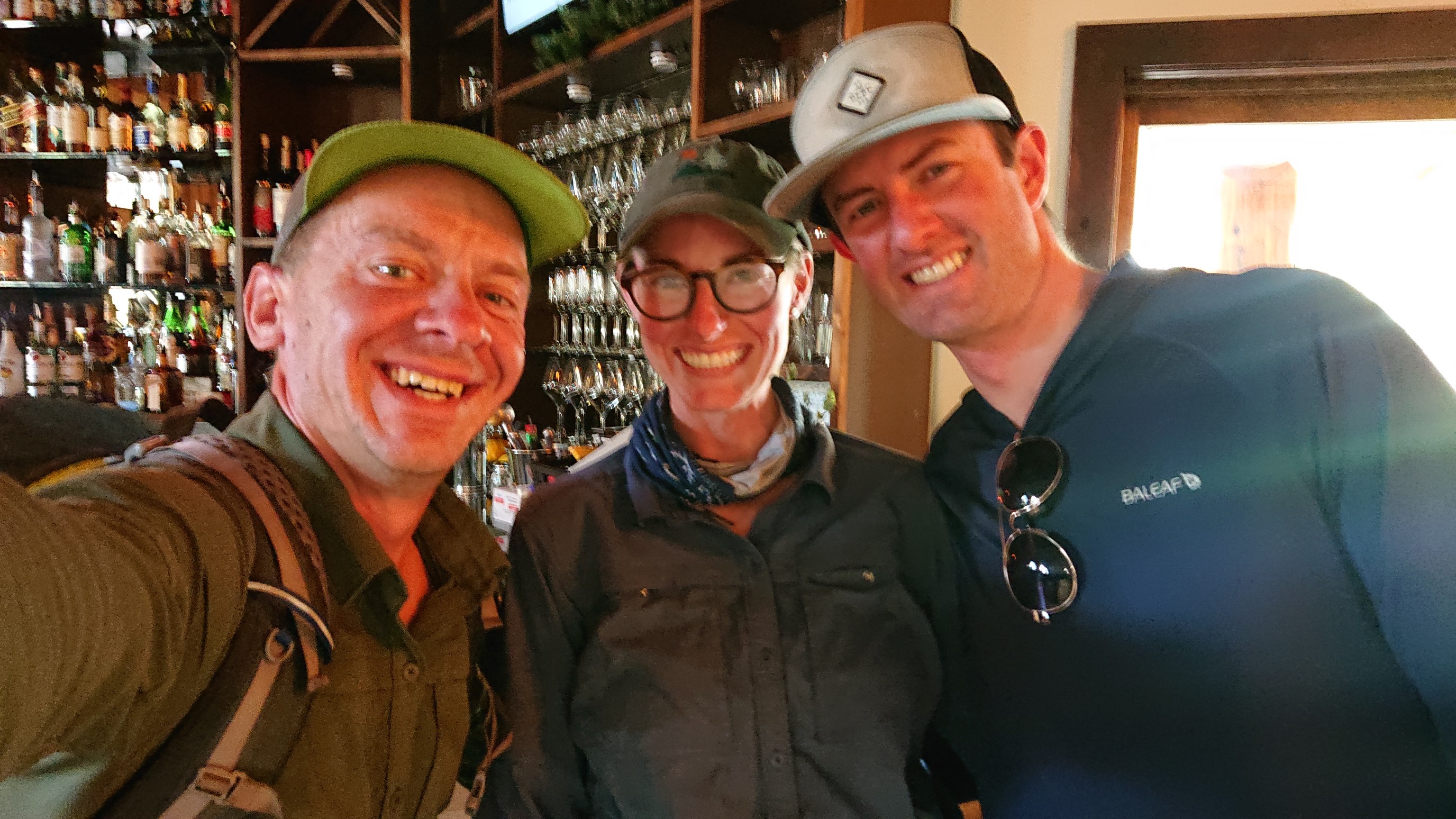
We discussed all the trails we had hiked, and advice about our upcoming sections, the usual hiker stuff. They are CDT nobos, and we got a group photo before we parted ways.
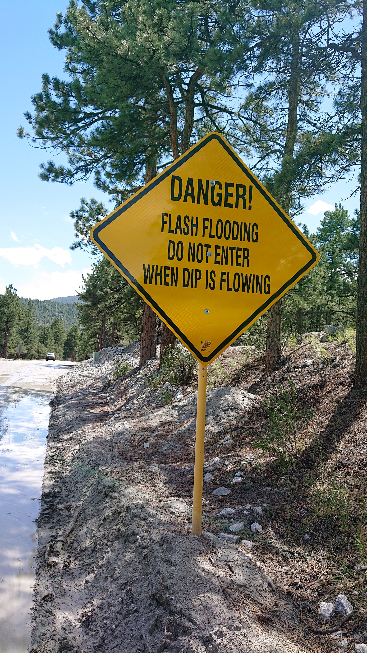
There was another two miles of roadwalking, but by now the rain had stopped so it was nice walking. The dip was only a little wet.
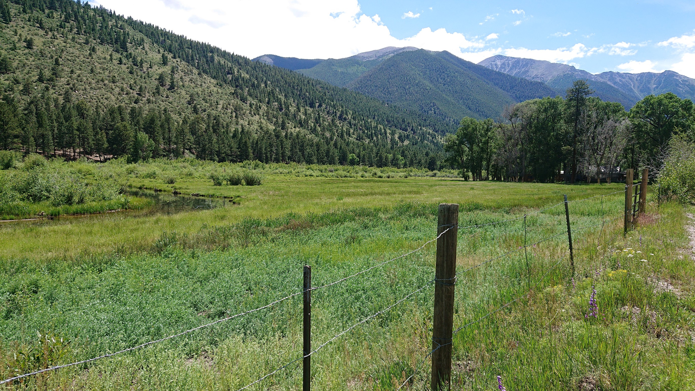
It was scenic to walk by all the pastures along the Chalk River.
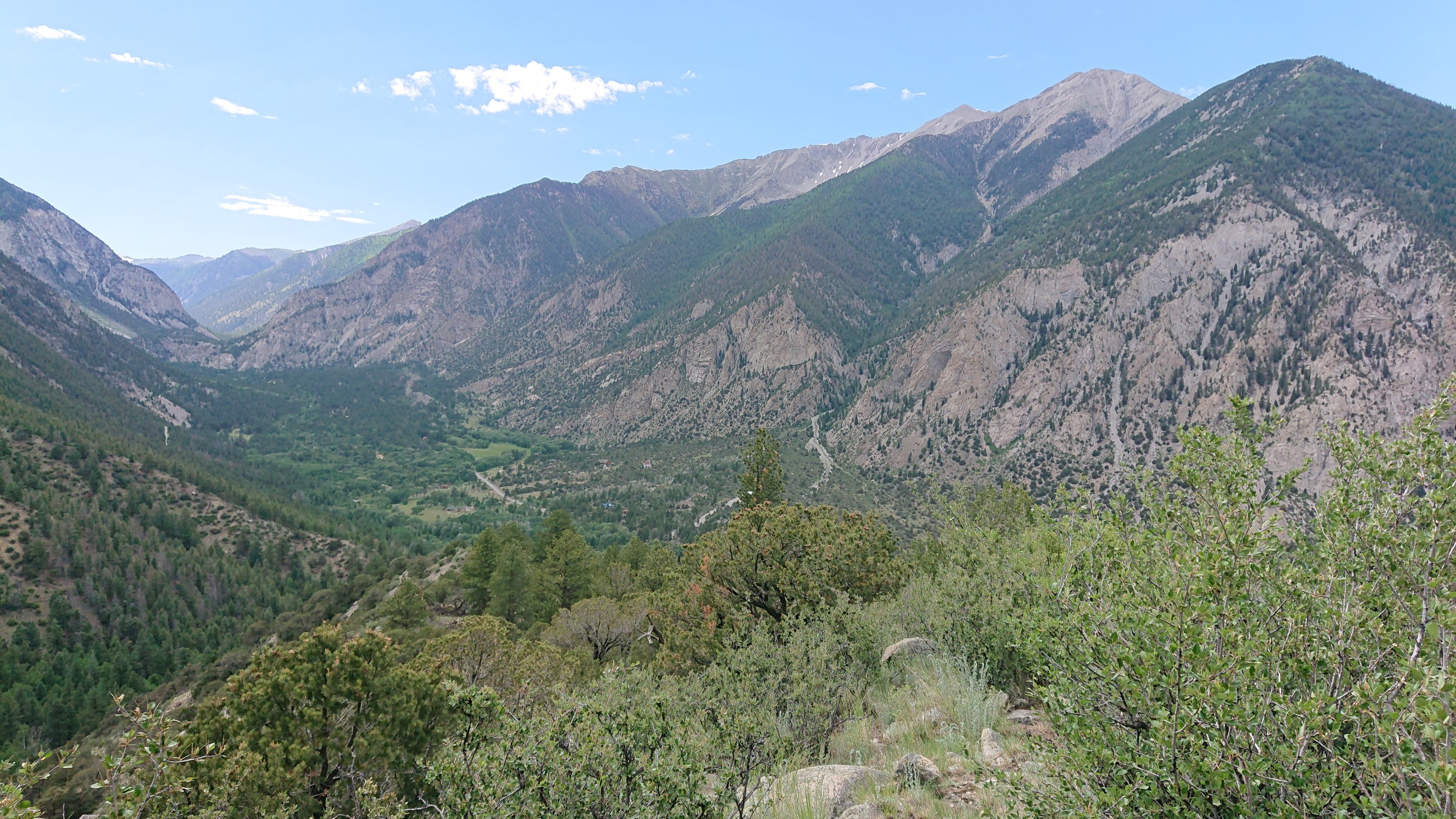
I finally got back into the forest on a trail, and it immediately climbed 1000ft to a viewpoint. Looking west up the Chalk River valley:
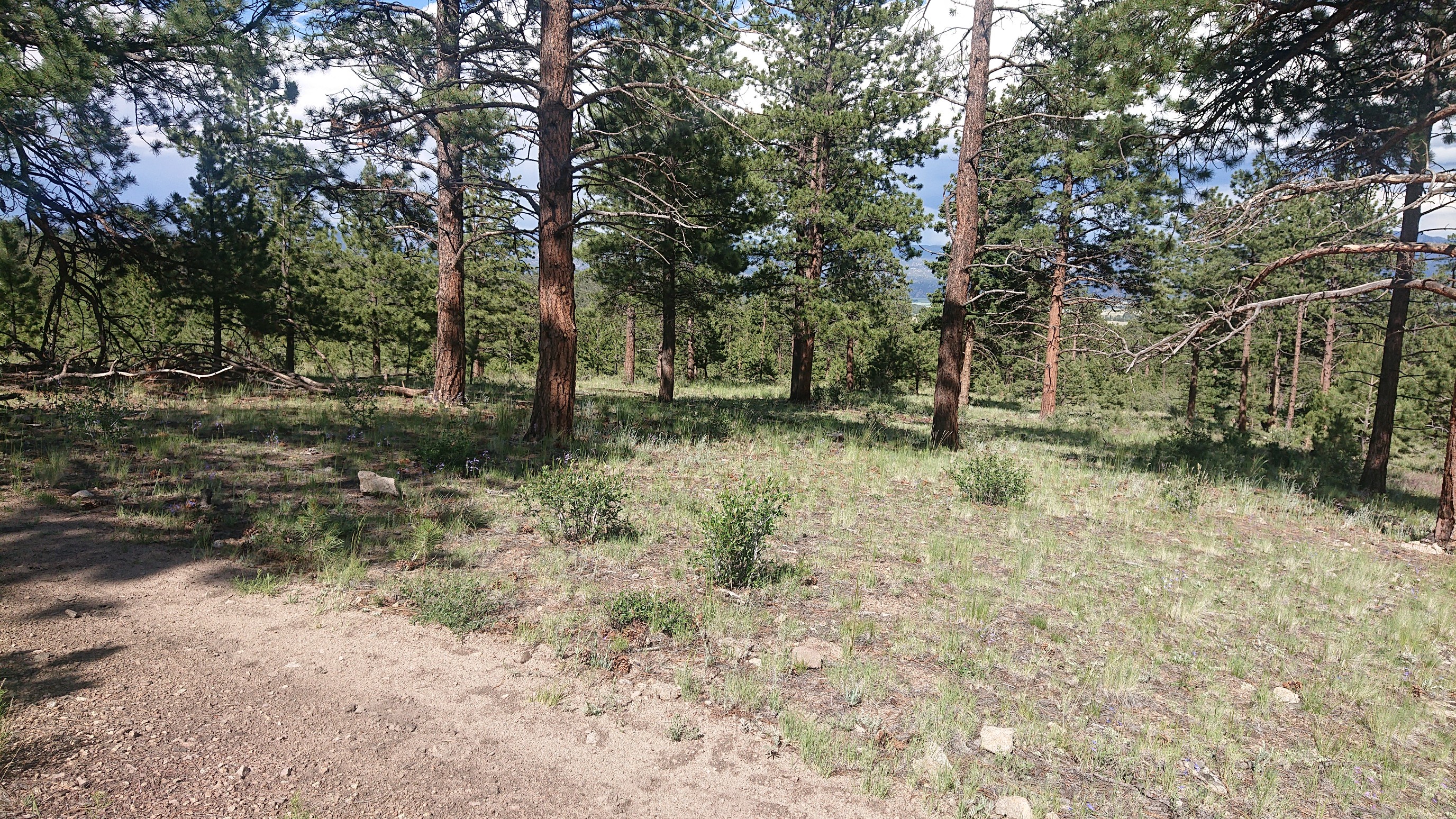
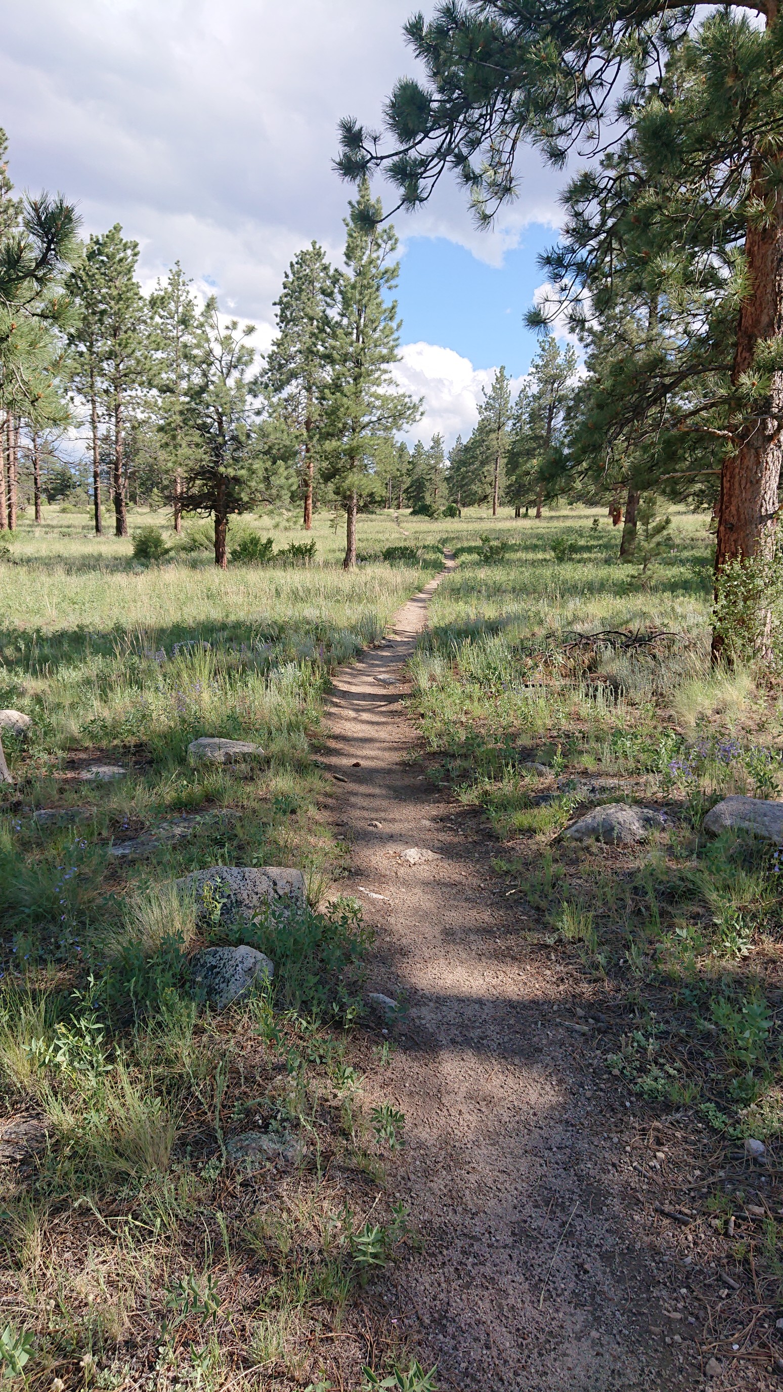
Then there was an hour of flat walking thru a really nice sparse pine forest, it reminded me of northern Arizona.
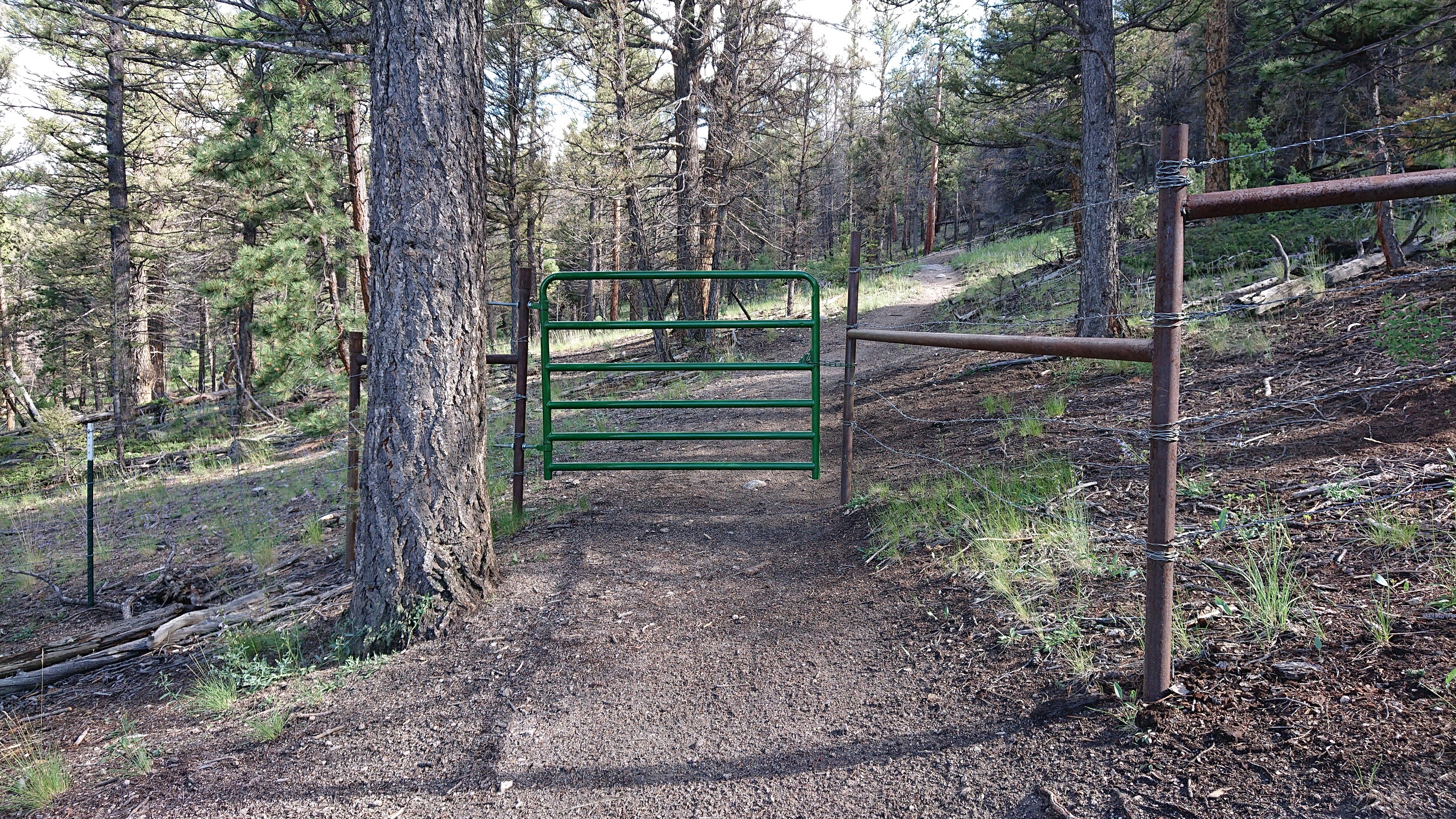
At the end of this nice forest, I encountered the first gate of the CT.
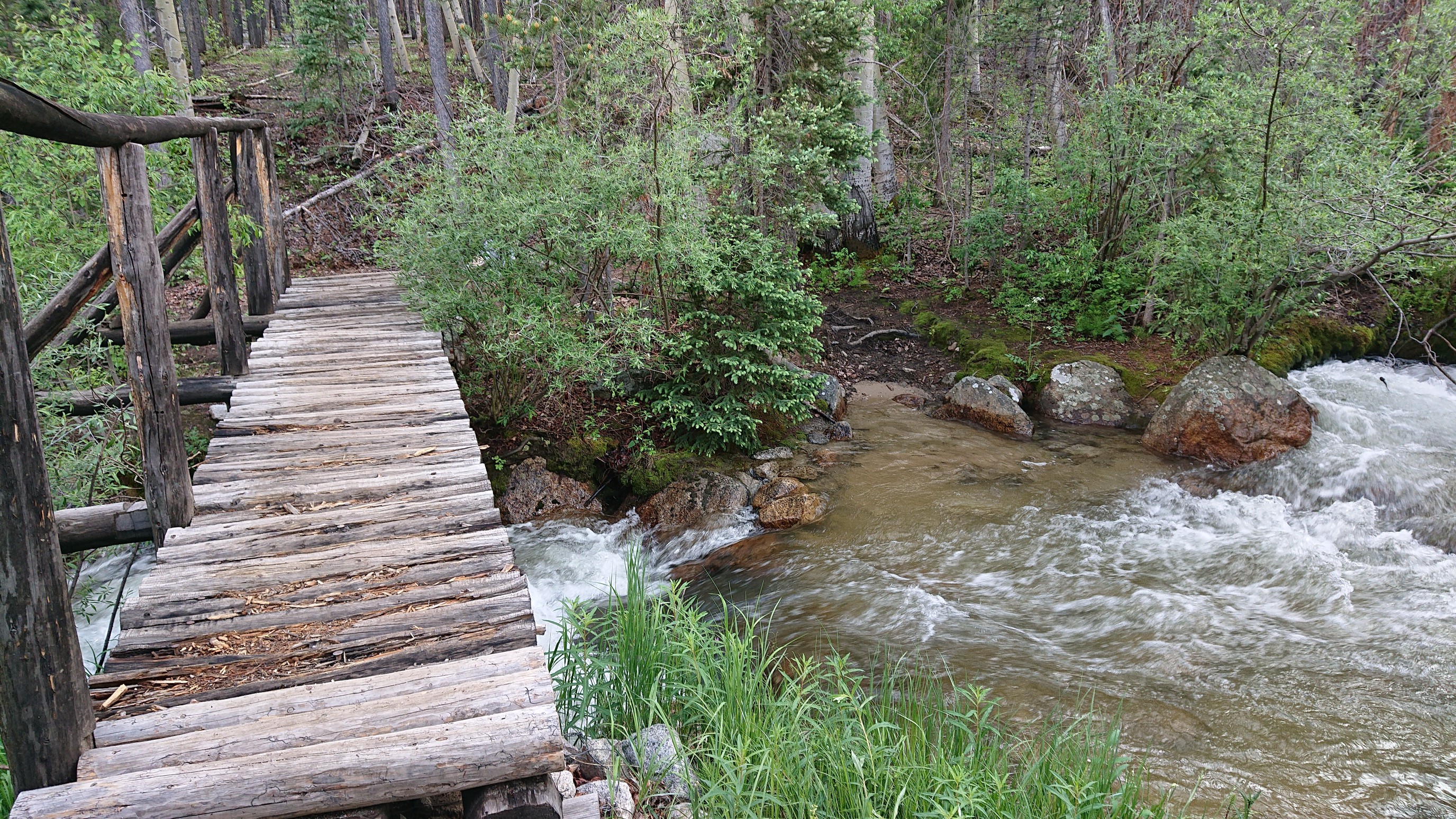
I climbed uphill almost another 1000ft, and stumbled upon what was apparently a quite popular camping area near Brown’s Creek. The creek was raging.
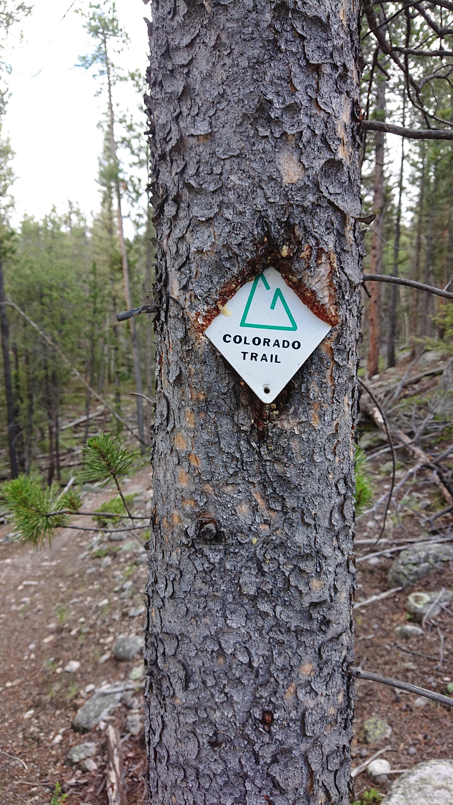
I spotted a couple of pretty old vintage CT markers, cool!
I stopped to camp just above a small creek, and enjoyed a big dinner. I’m going to town tomorrow, so I could eat all my extra food!