Monday July 5, 24.3mi/39.1km
South Fooses Creek (260.4/11125ft) to Big Bend Trail Jct (284.7/11178ft) (CO)
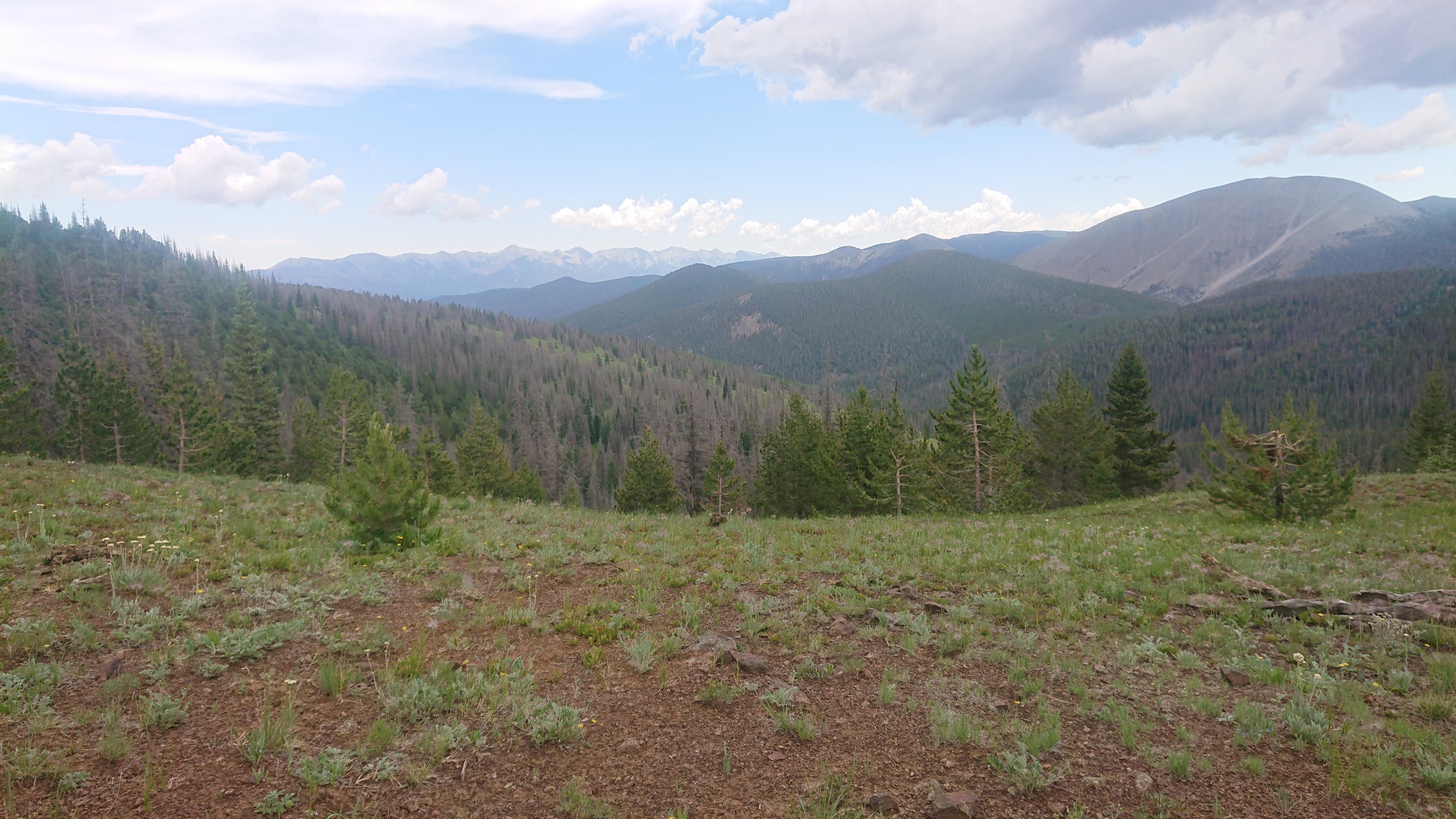
I had a great night’s sleep at my little trailside camp spot, and I had plenty of energy for the last steep mile to the ridgetop & CDT junction. The view from the ridge:
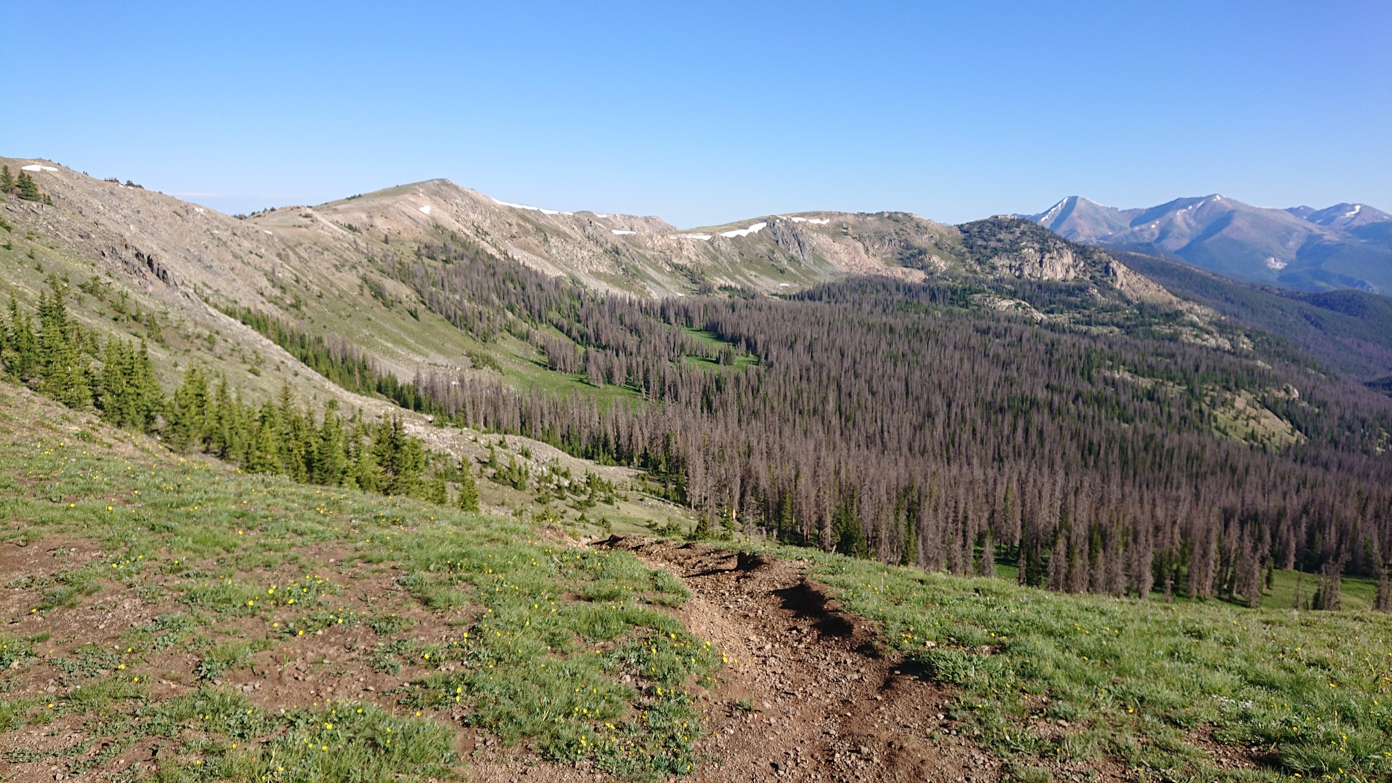
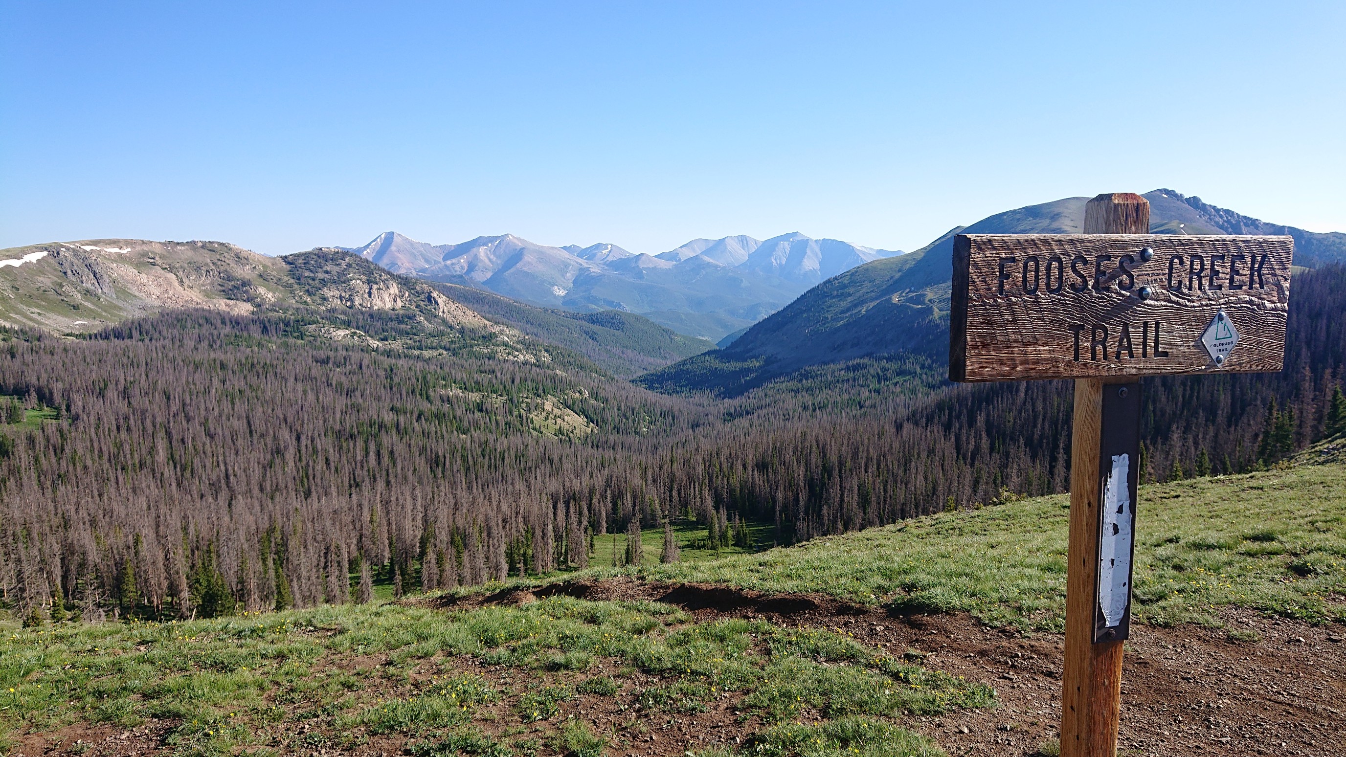
It was only 8:20, and I had a nice stroll on the ridge.
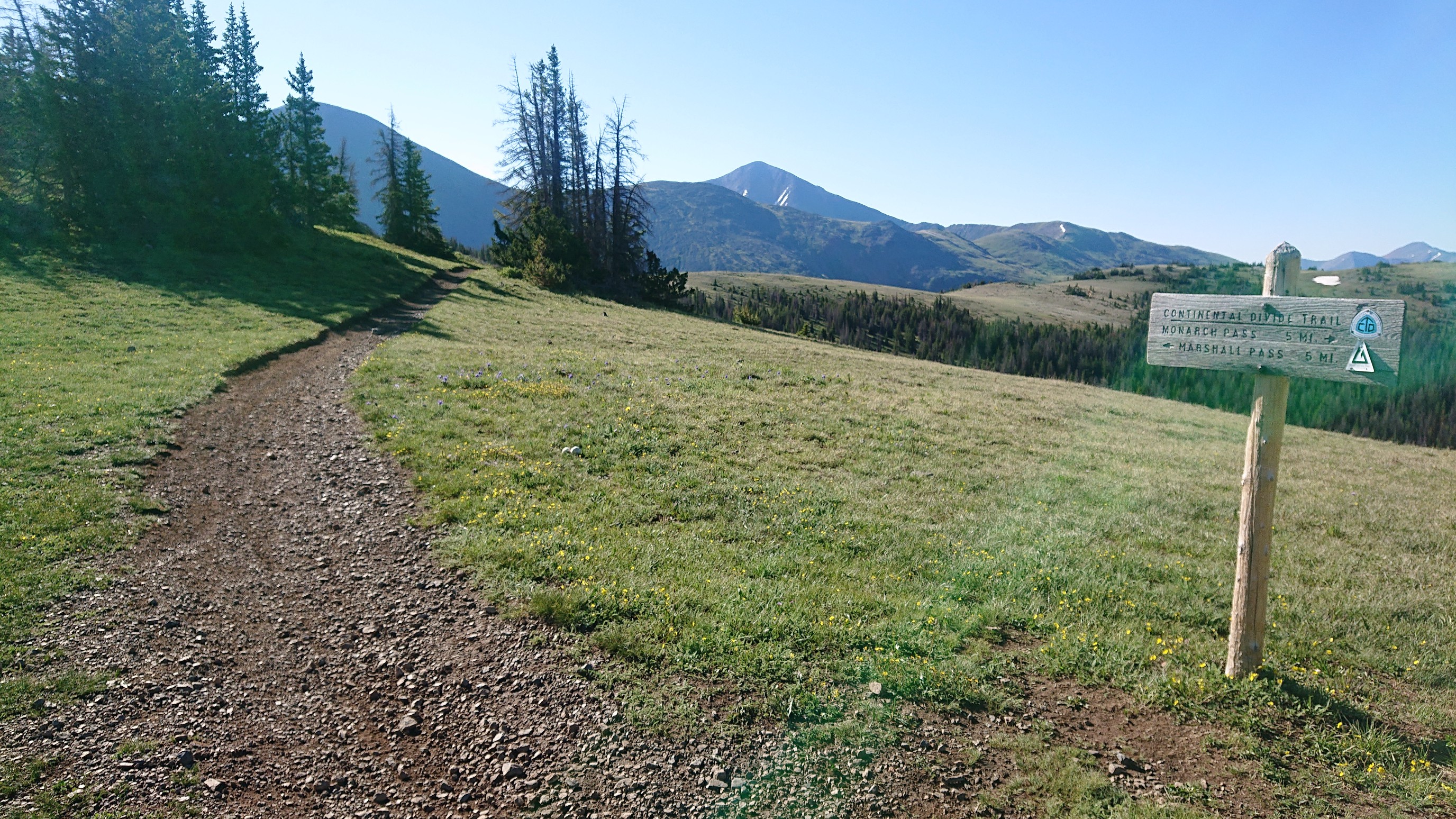
I saw tons of mountain bikers in this section, like a group every 10 minutes. It was a little much.
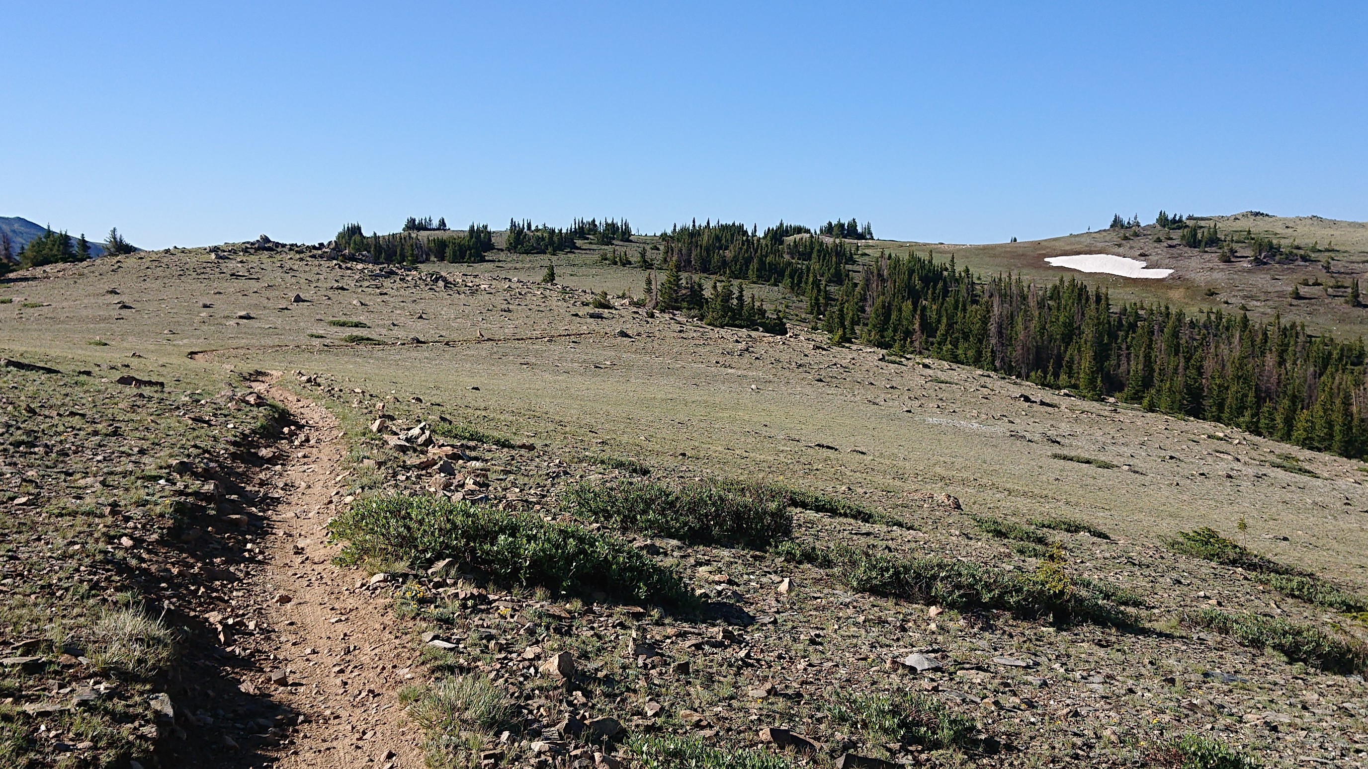
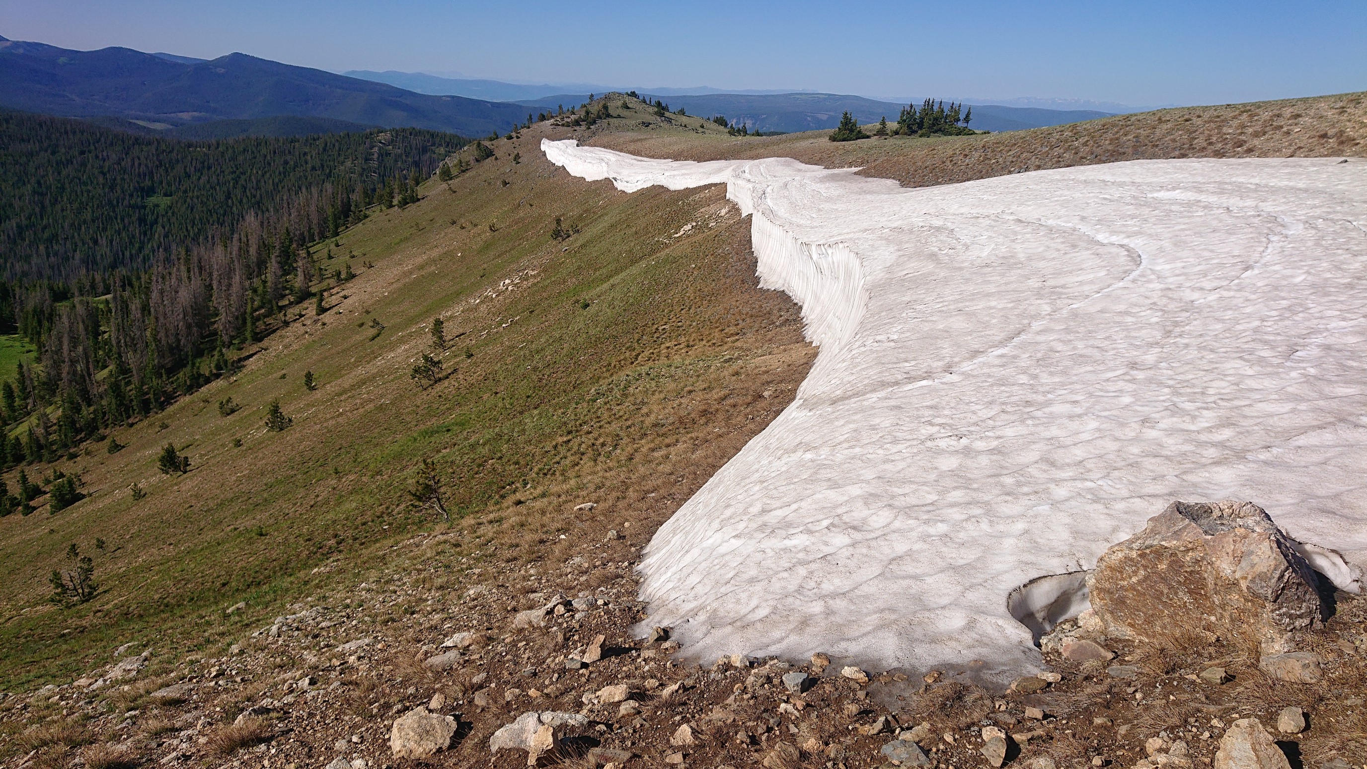
Some of last year’s cornices are still melting away. This one must’ve been huge!
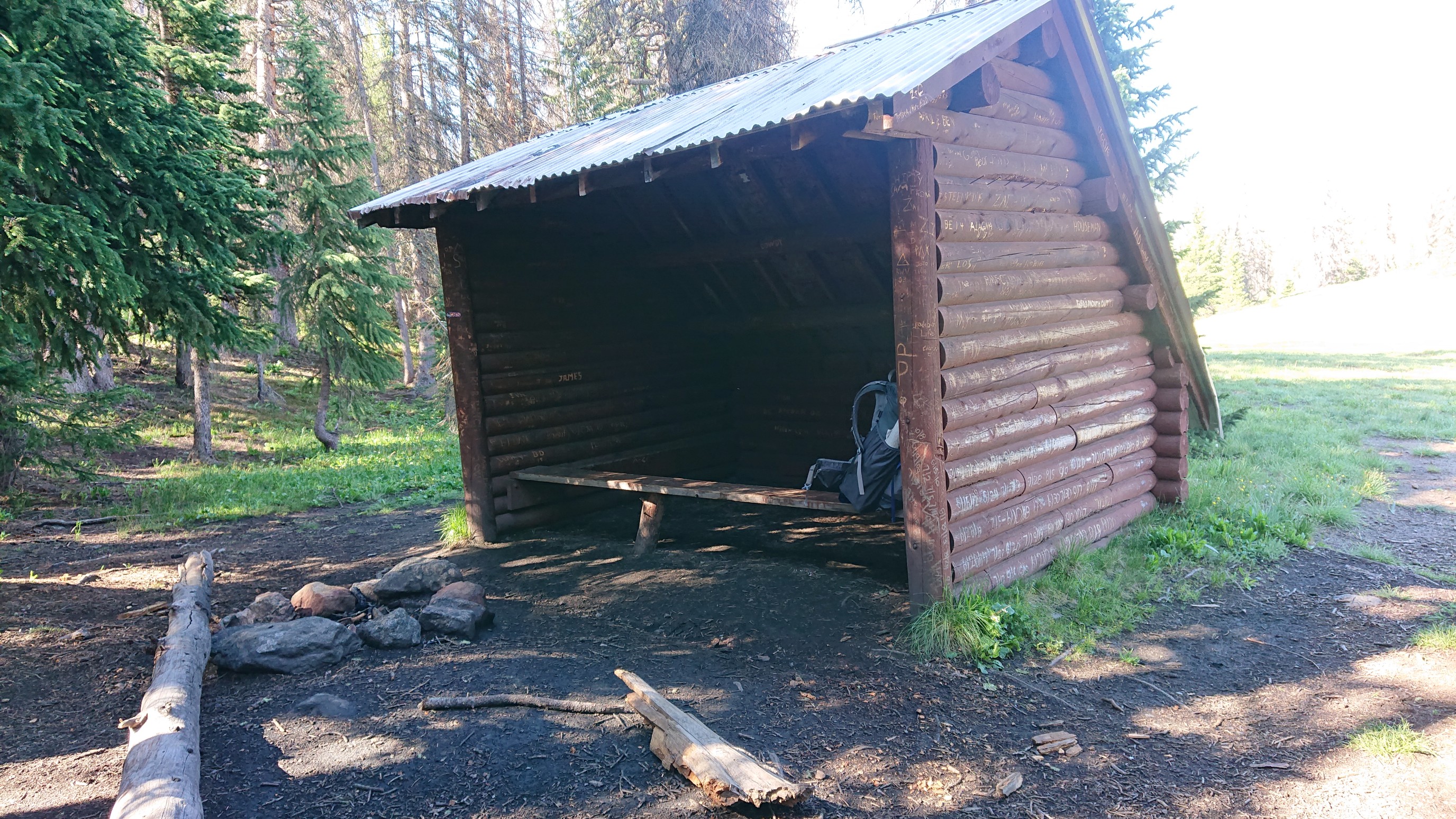
After a couple miles, I came to a 3-sided shelter, much like the AT shelters, but without a floor.
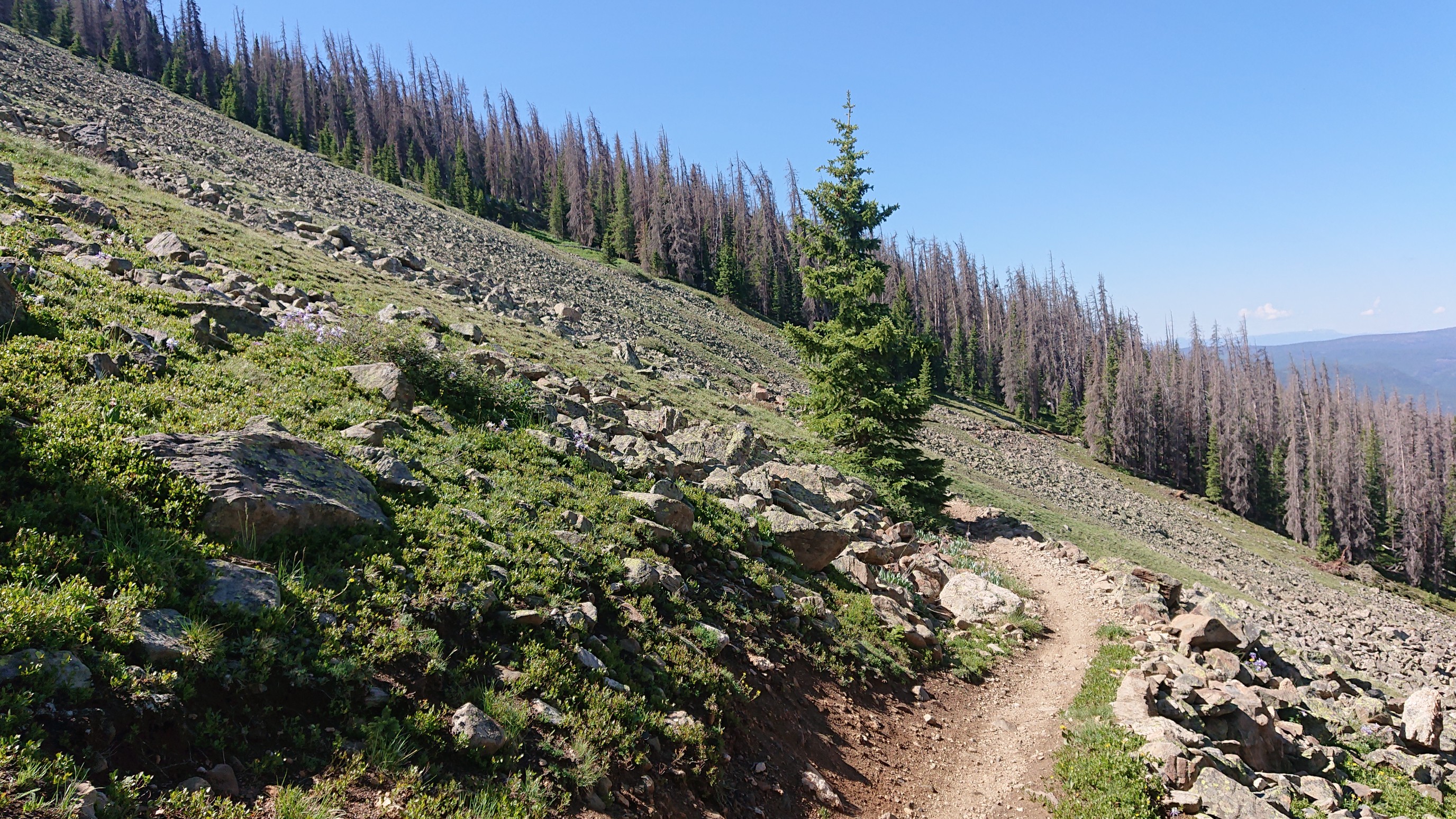
I had a snack at the shelter and hiked onward, on the wonderful trail. It felt so nice being back up on the divide, and seeing all the things I missed on the low (Collegiate East) route…like talus!
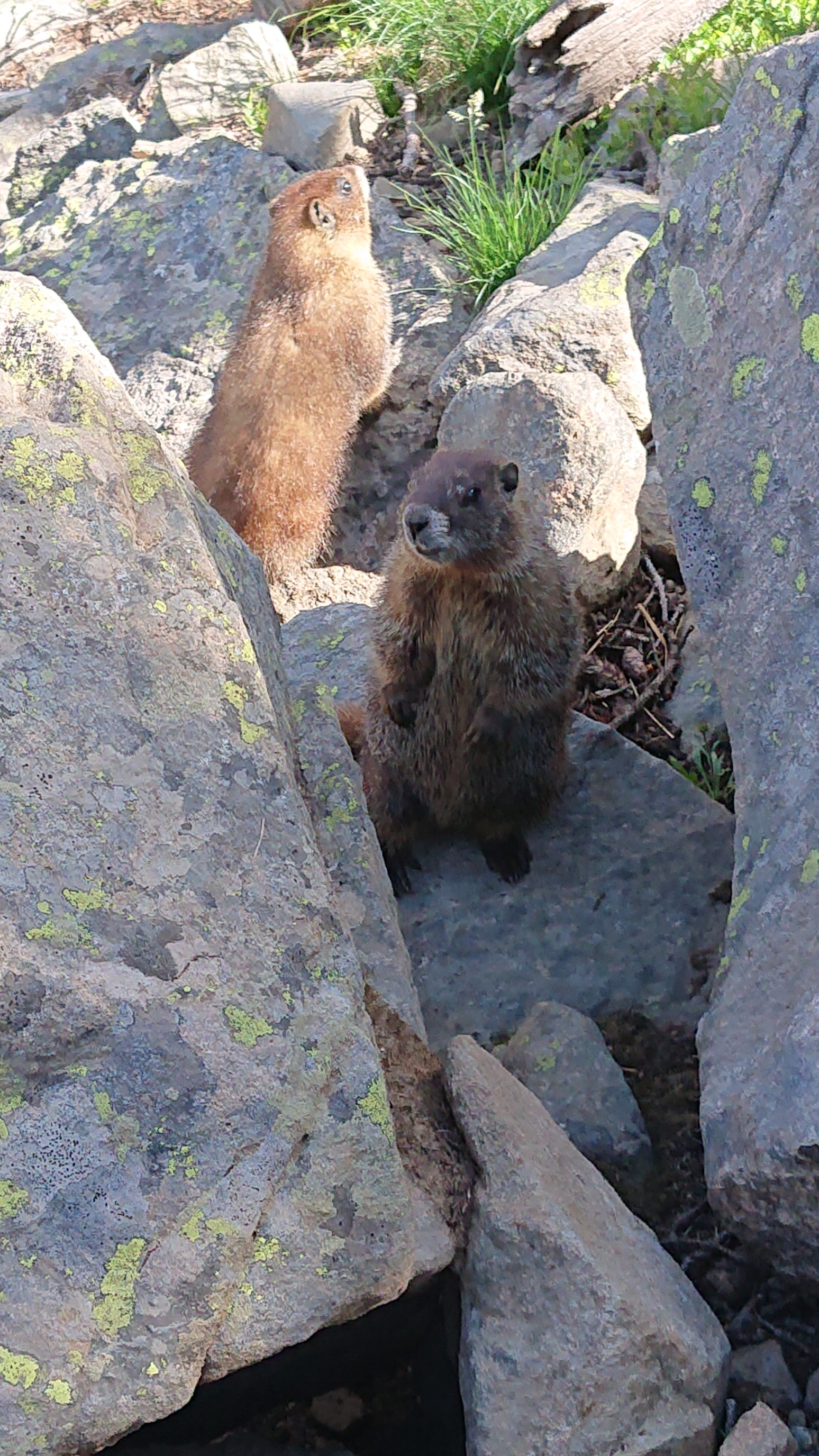
More bikers came by, and I stepped off the trail to let them by. A couple curious little marmots came out of their rock den to say hi.
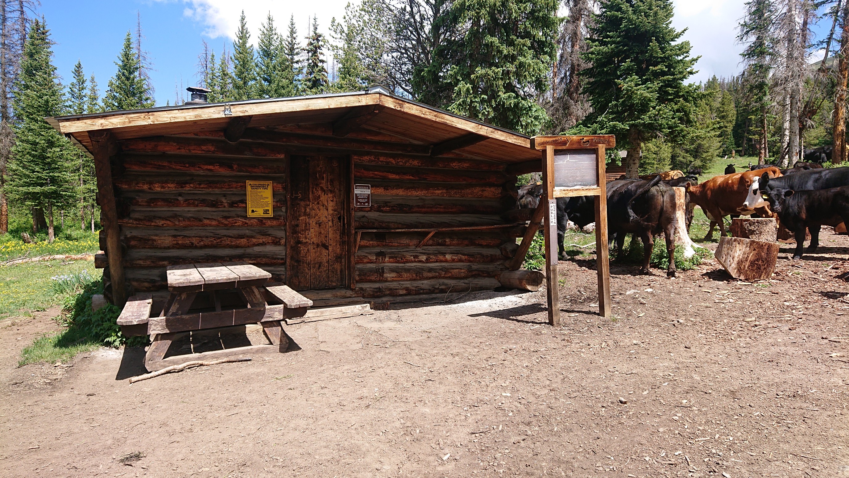
I dropped down to Marshall Pass, and explored the area a bit. I found the old snowmobile cabin we stayed at in 2016 on the CDT. It was, of course, surrounded by cows.
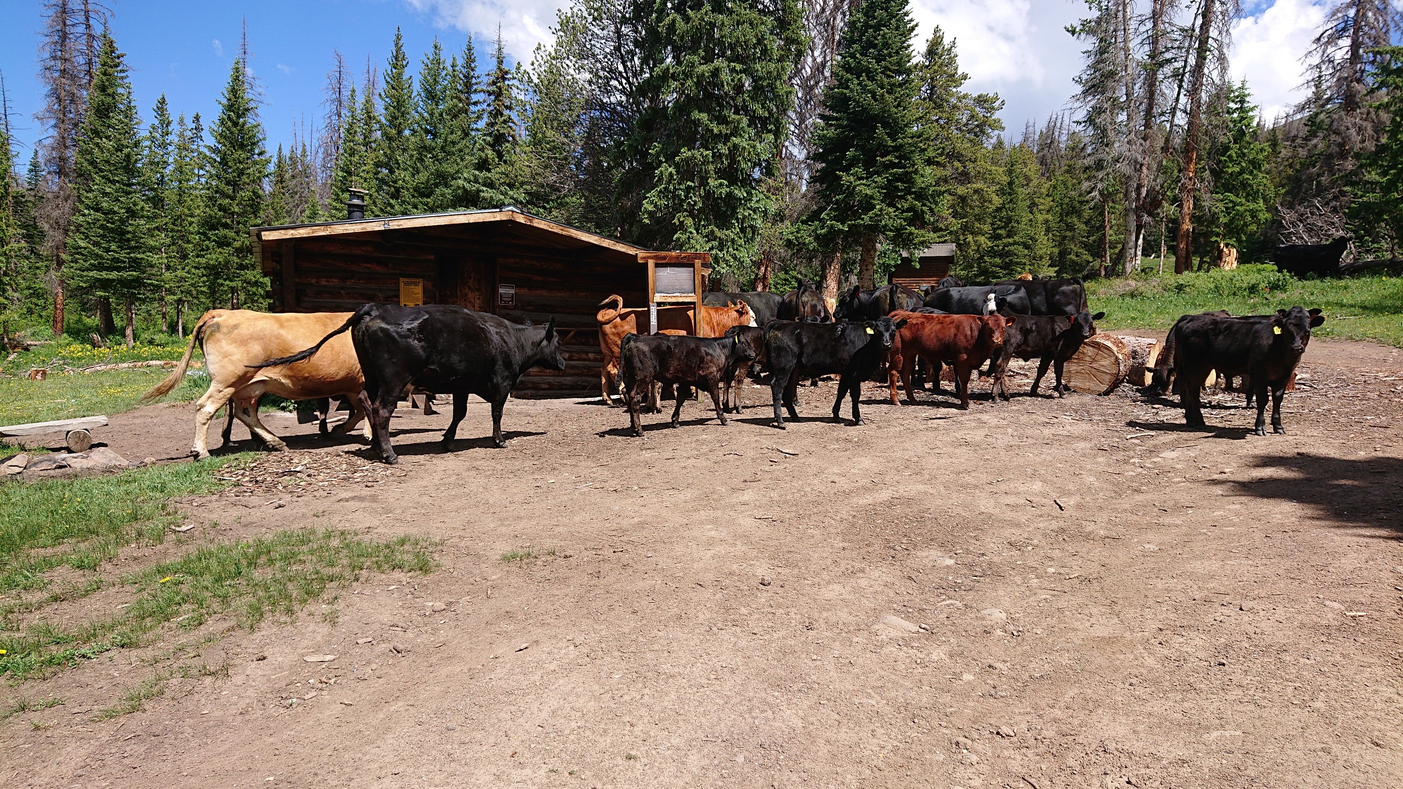
As I walked closer the cows begrudgingly moooved out of the way.
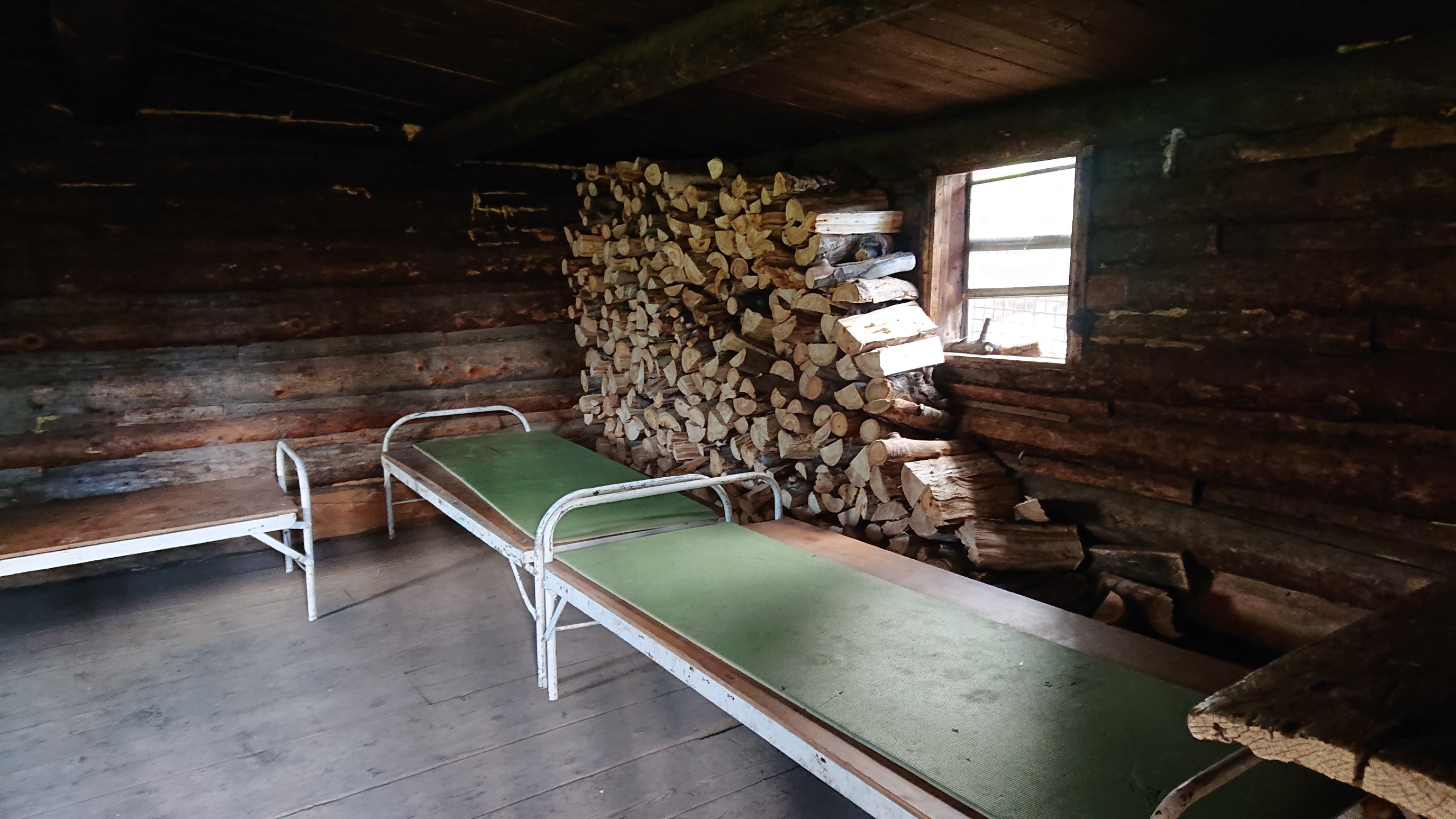
The inside, with 3 cots, woodstove, and heaps of wood:
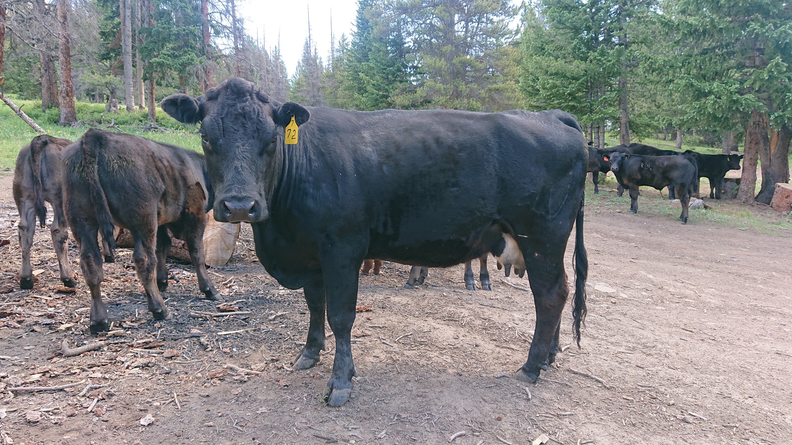
On my departure, one cow was especially friendly.
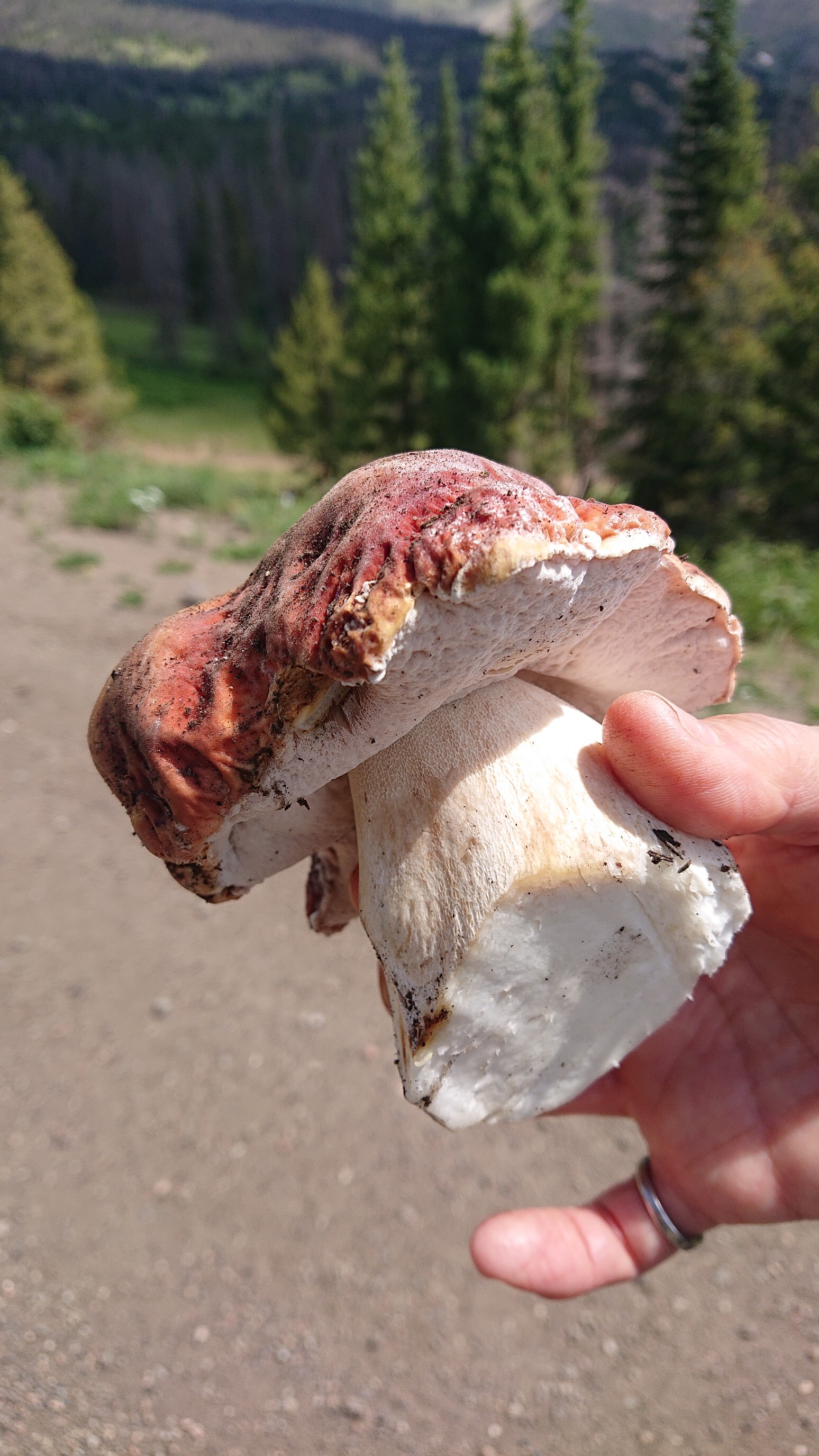
I met a Russian couple in the Marshall Pass parking lot looking for mushrooms. The woman was very proud of the one she had already found.
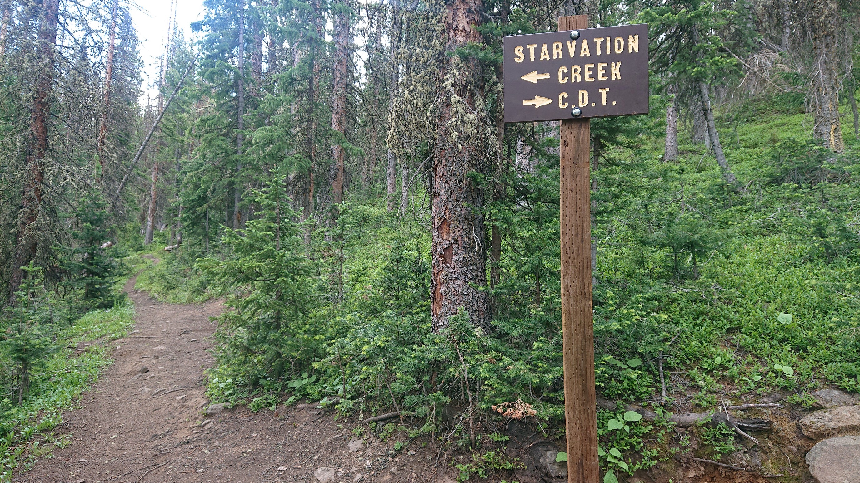
I hiked on, away from the crowds of bikers and dayhikers at the pass, and had lunch at this hilarious trail junction. It sounds like either way, I starve??
I ate quickly, as an afternoon thunderstorm was building. The clouds looked ominous.
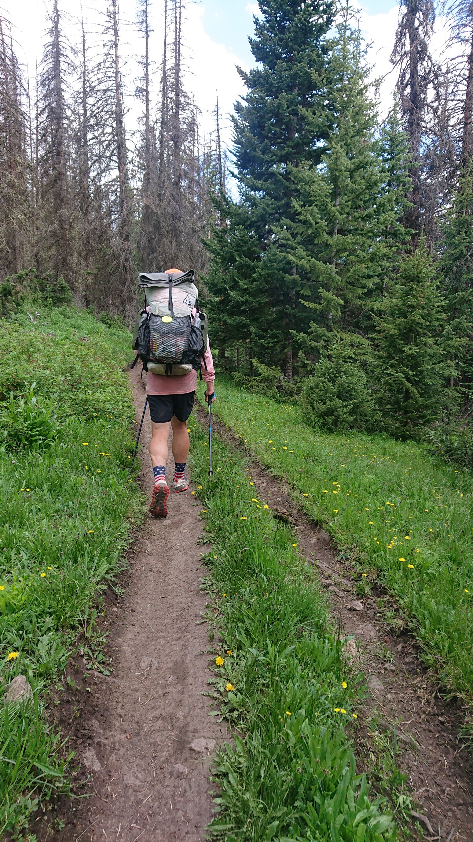
I met a couple of hikers at the next water source, and BluegrassHopper and I hiked together for the rest of the day.
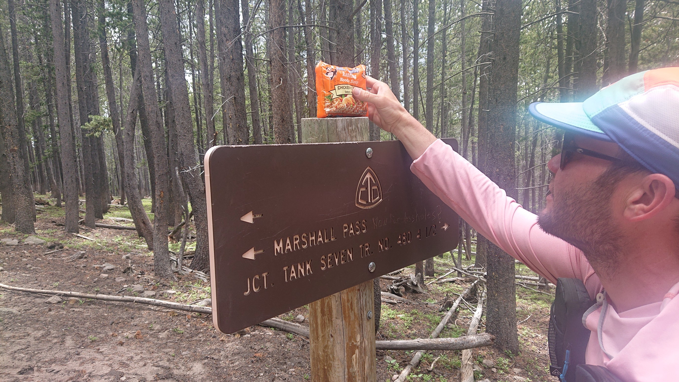
A few miles later, we found a free ramen on top of a trail junction sign!
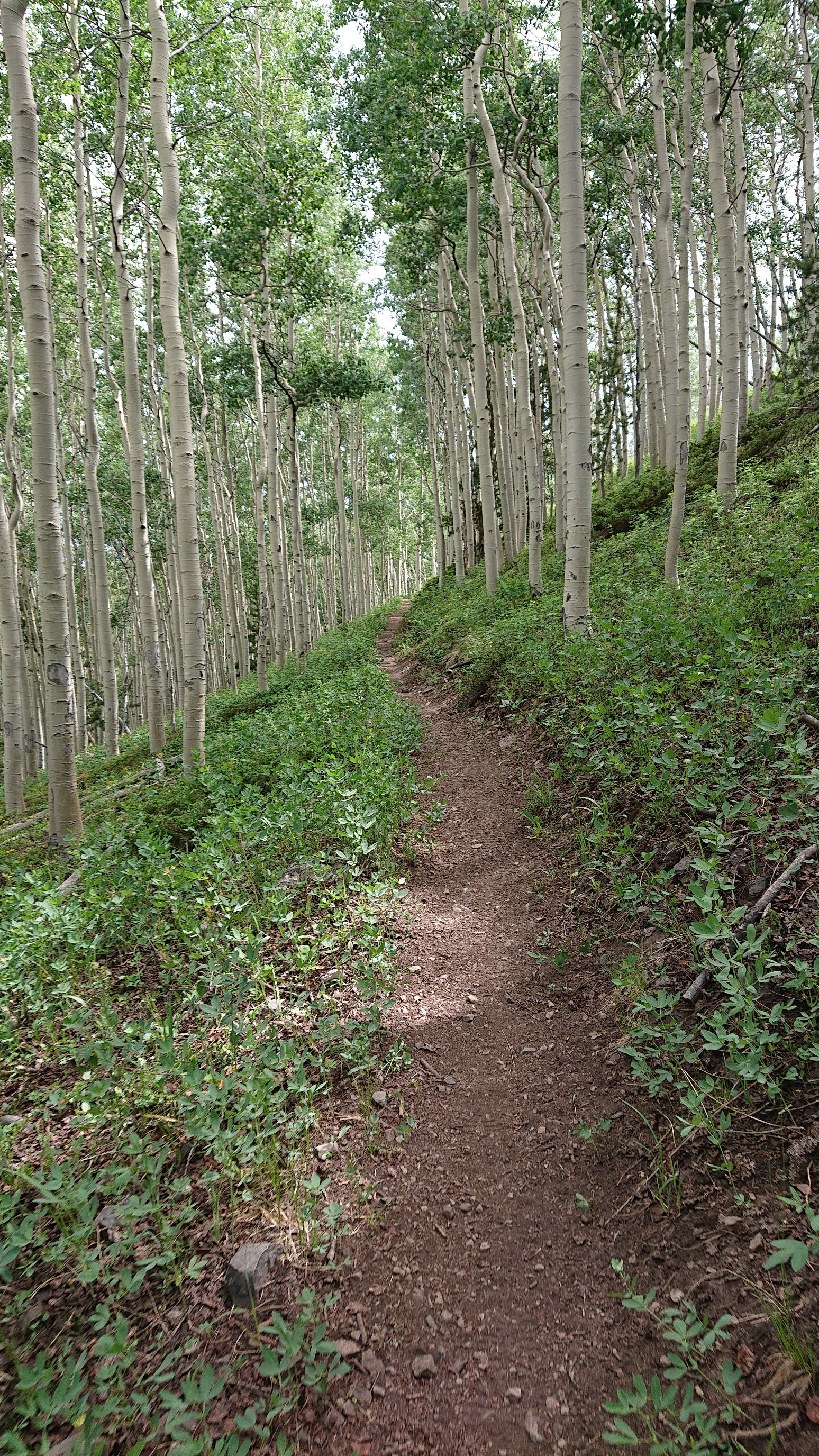
A brief walk thru an aspen forest.
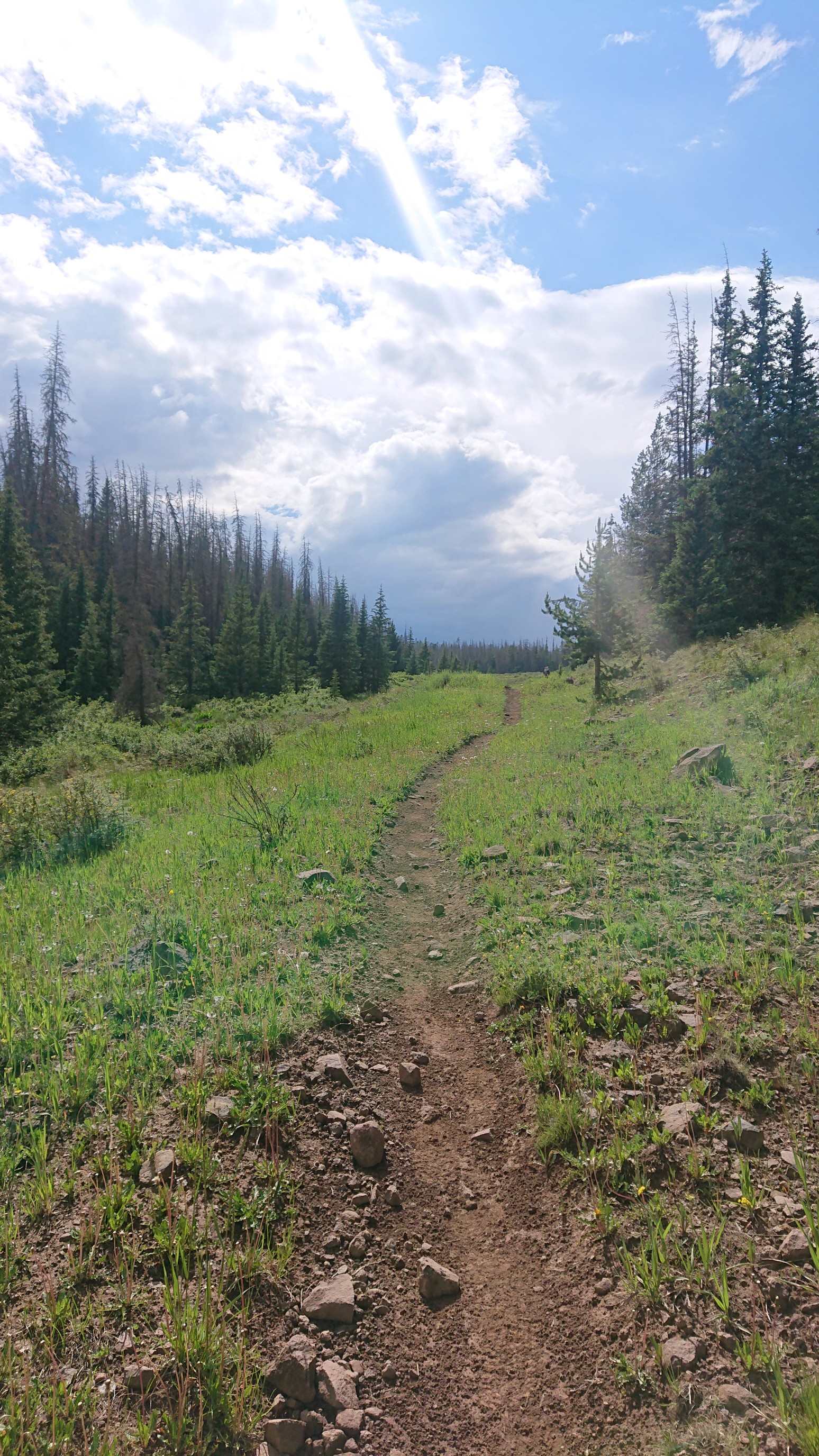
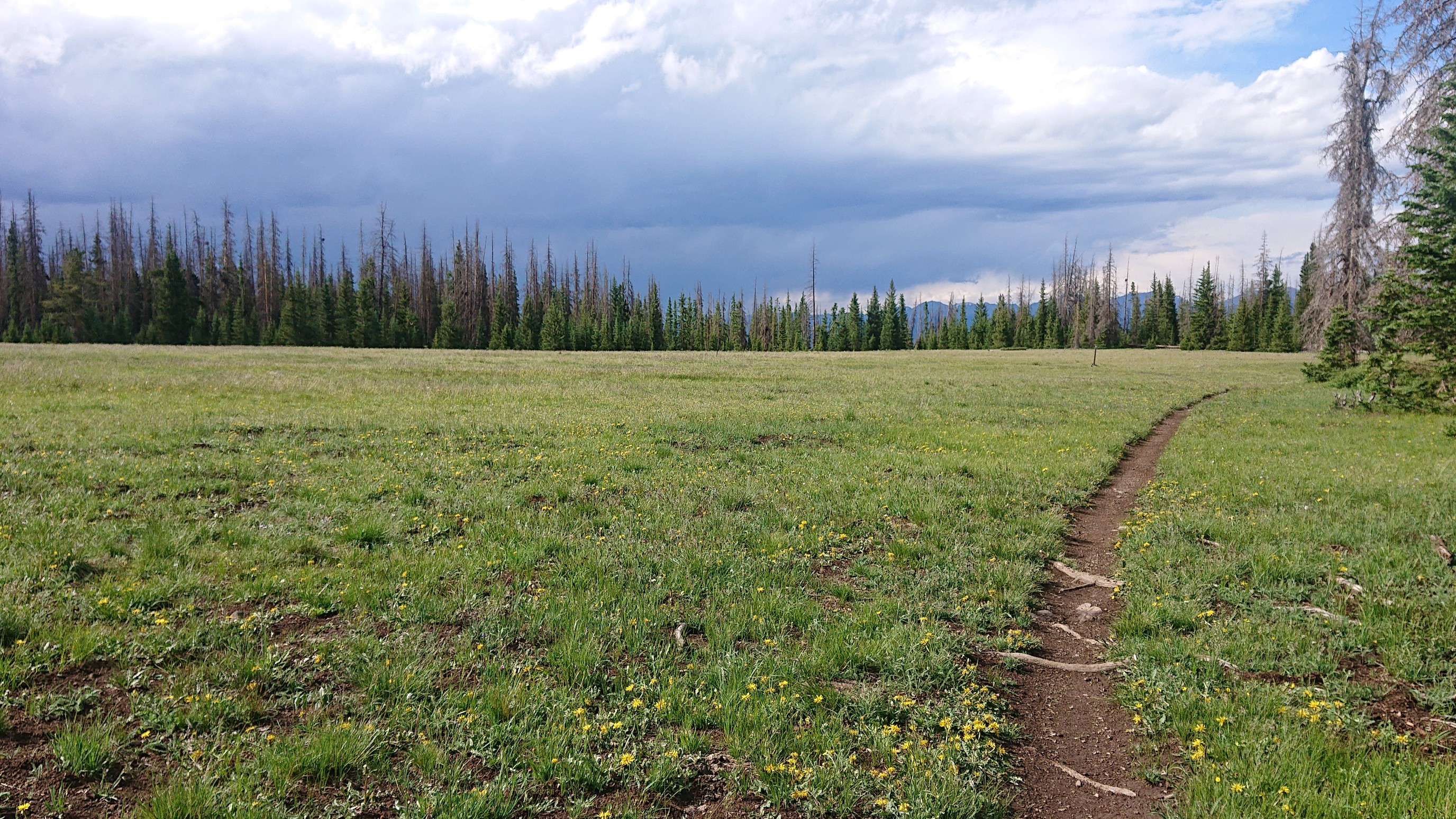
The last couple of hours were spent hiking up to Sargent’s Mesa, through alpine fields.
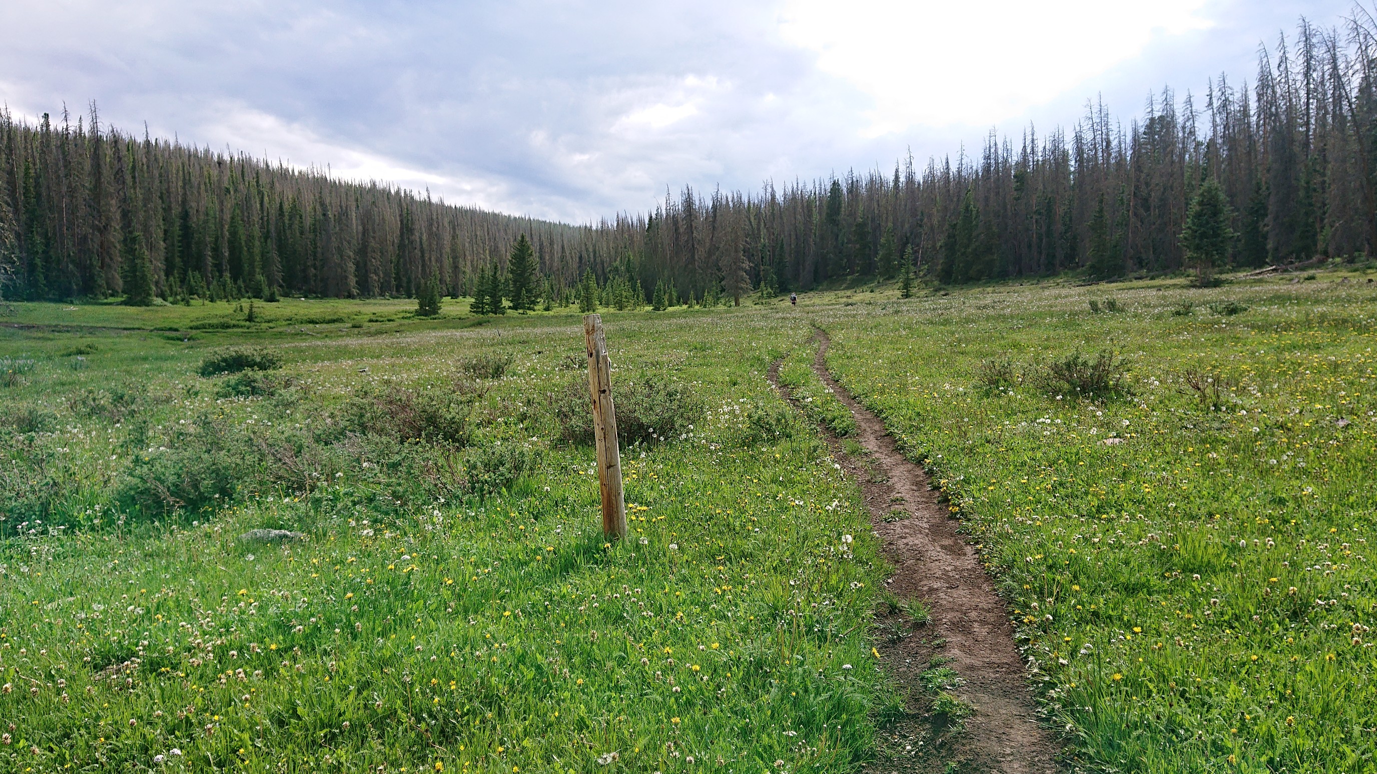
This photo seemed especially interesting, with the clouds and curving trail.
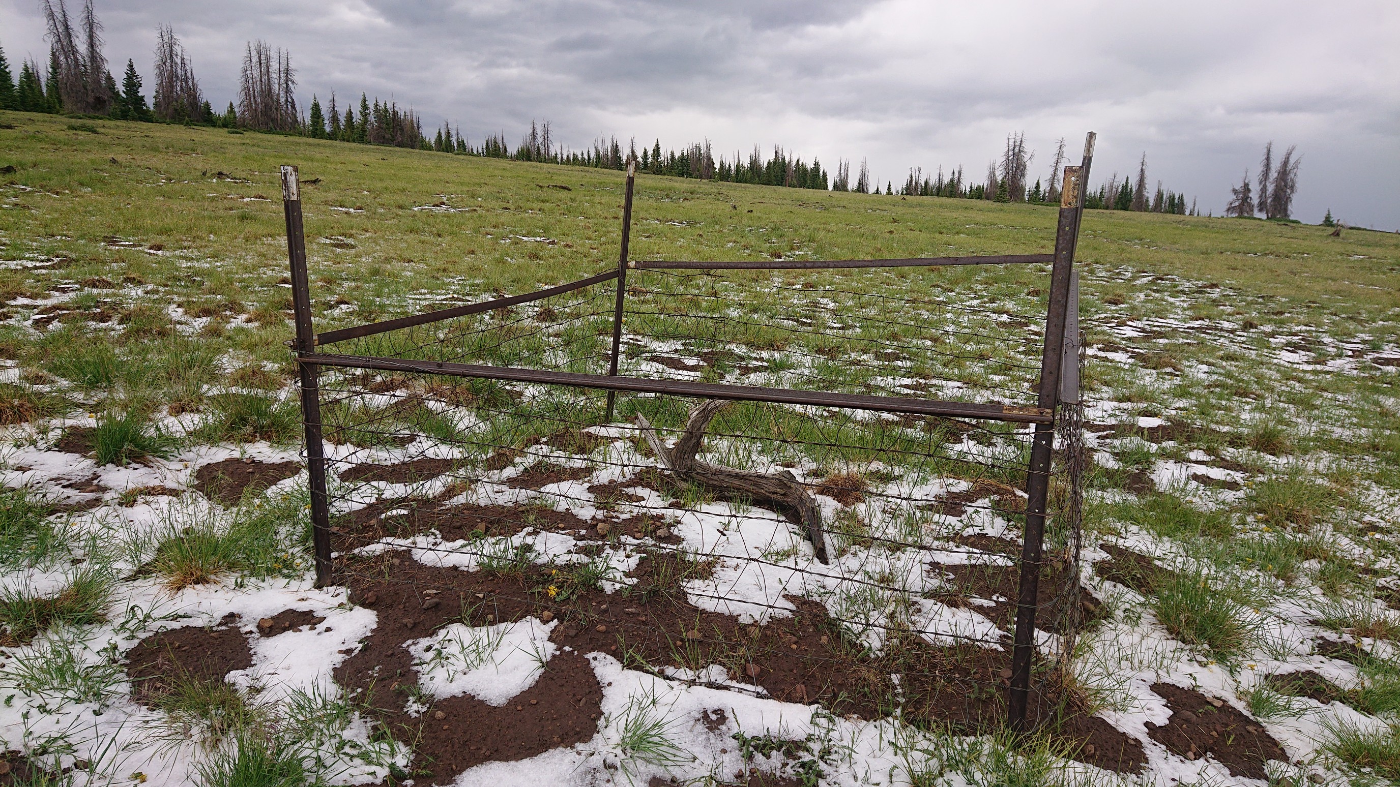
I have no idea why someone fenced off a stump.
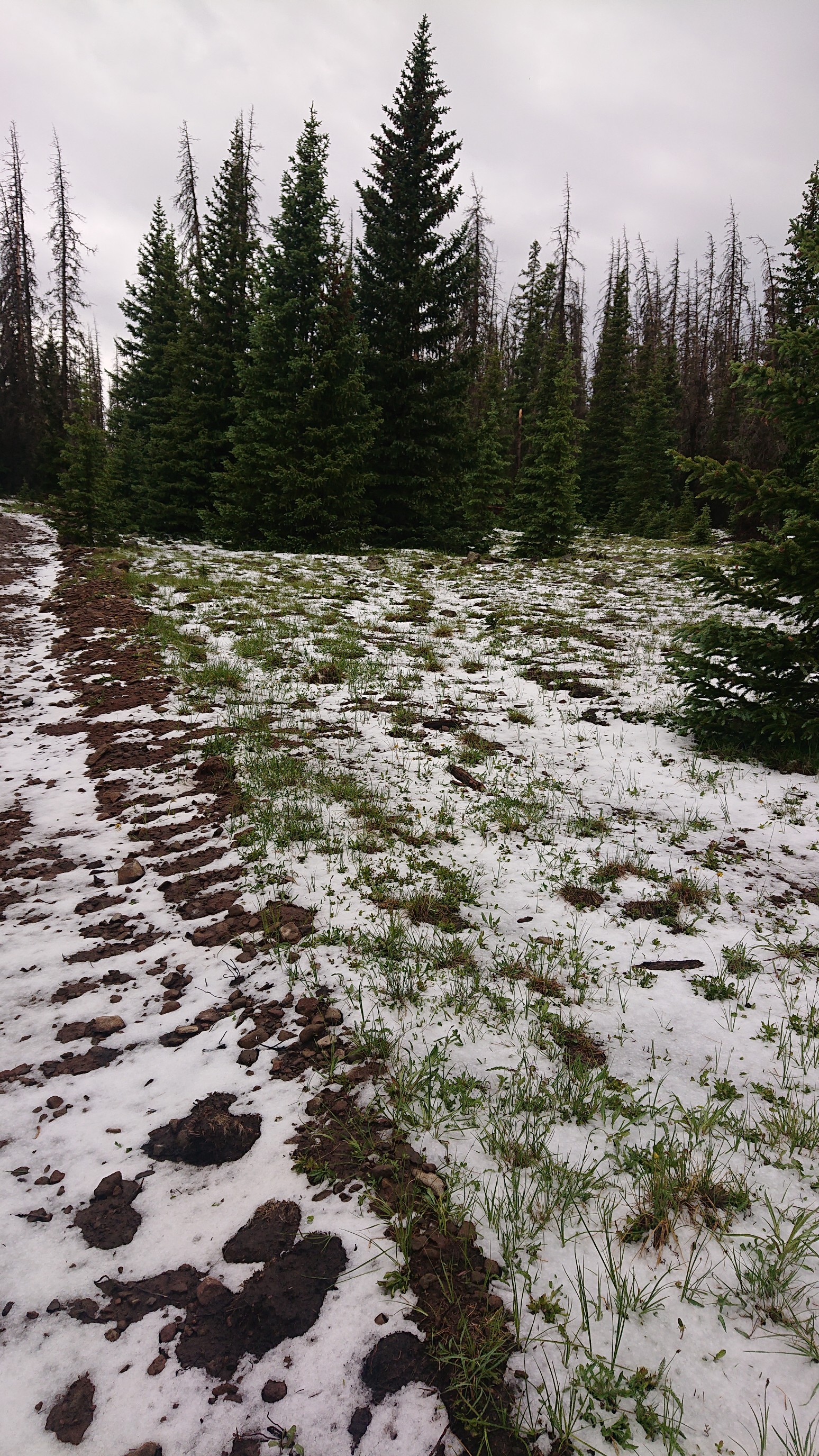
As we gained the top of Sargent’s Mesa, it appeared it had recently hailed, and it had accumulated.
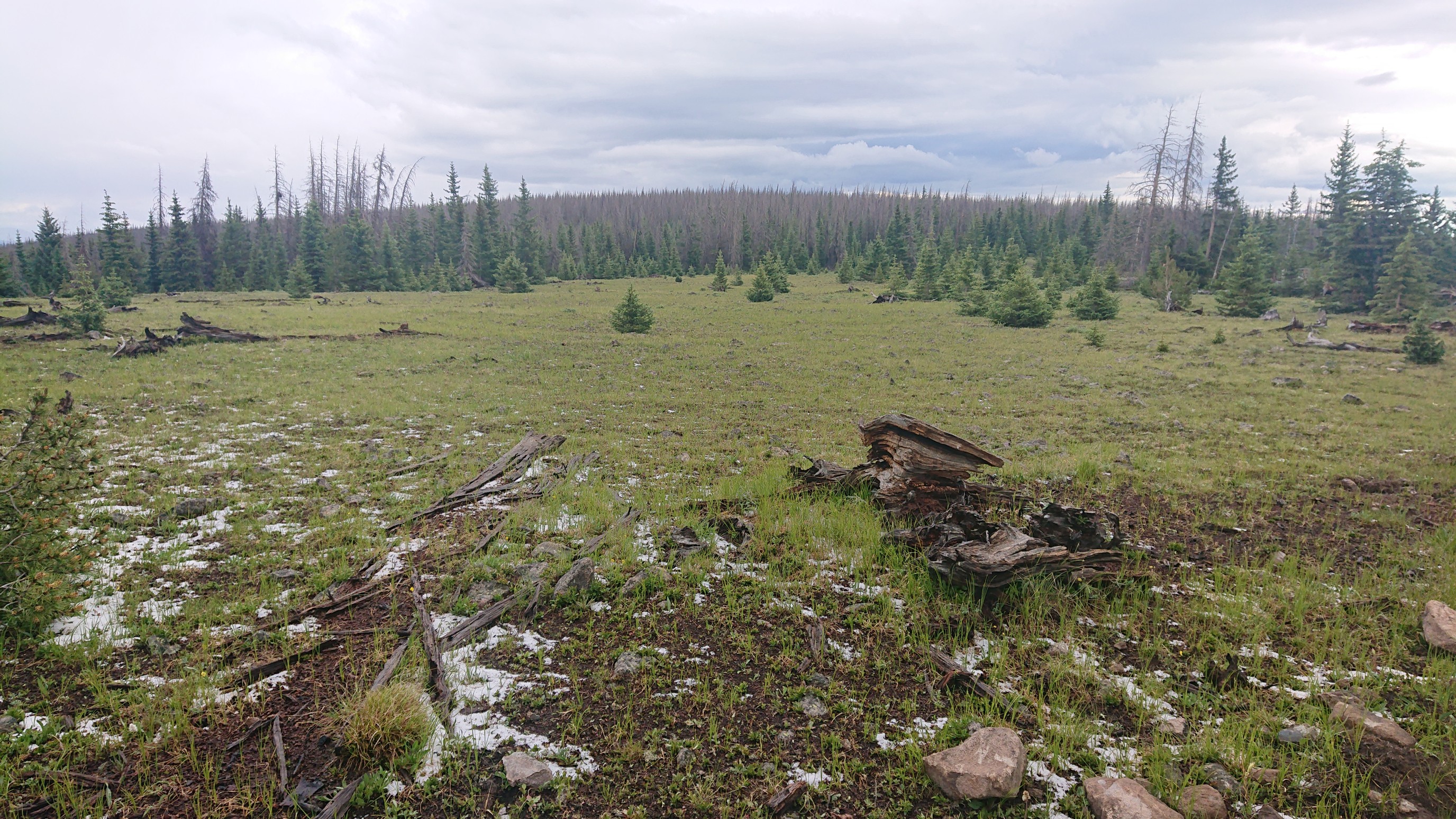
We descended the other side, and it got warmer and the fallen hail was mostly melted. Looking behind at Sargent’s Mesa:
BluegrassHopper and I walked the last few miles to our campsite at a flat saddle. He is from North Carolina, and has also hiked the AT, John Muir Trail, and a few others. A very interesting guy to talk to! We setup camp at 6:30 and had dinner in our tents, as the clouds looked threatening again. Tomorrow will be another long mileage day!