Tuesday October 18, 40.2km/25.0mi
Canning Campsite (77.9/288m) to Nerang Campsite (118.1/329m) (WA)
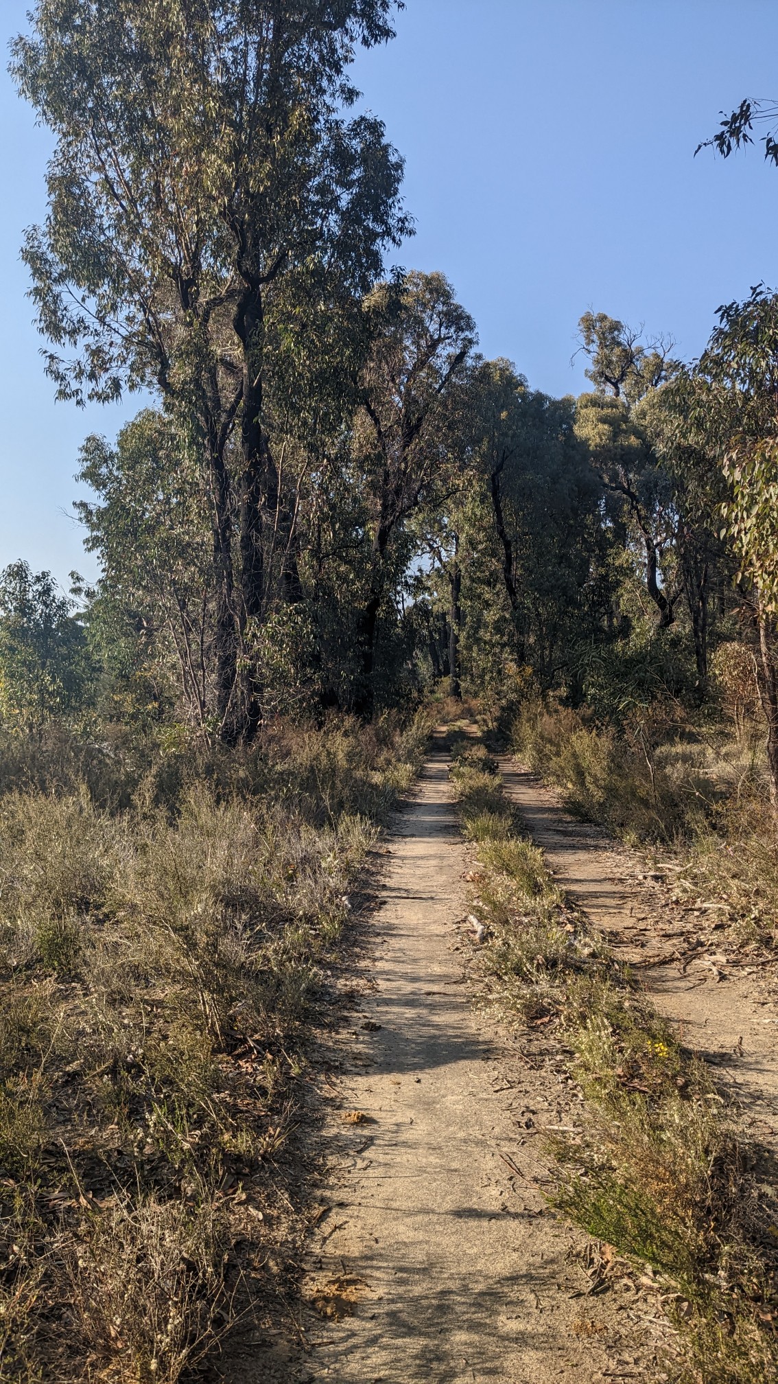
For the first time this hike, I started at a normal time of 7am. It would be easy to start even earlier, since for some odd reason WA doesn’t use Daylight Saving Time, which means the sun rises at the useless hour of 5:15am but sets early by 6:30pm. The morning hiking was great as usual, the air was crisp and full of sunshine.
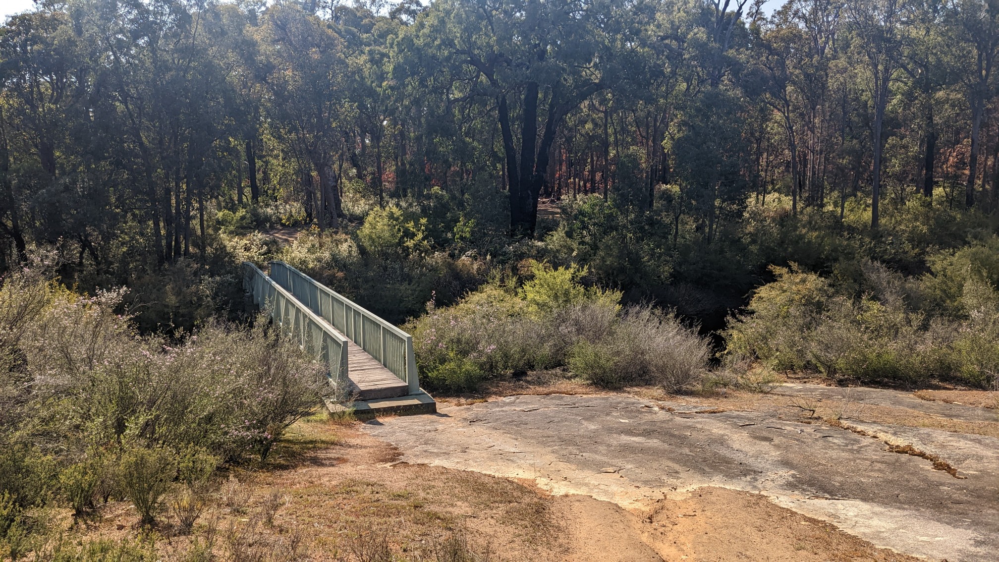
I ambled along for over an hour before crossing this neat bridge.
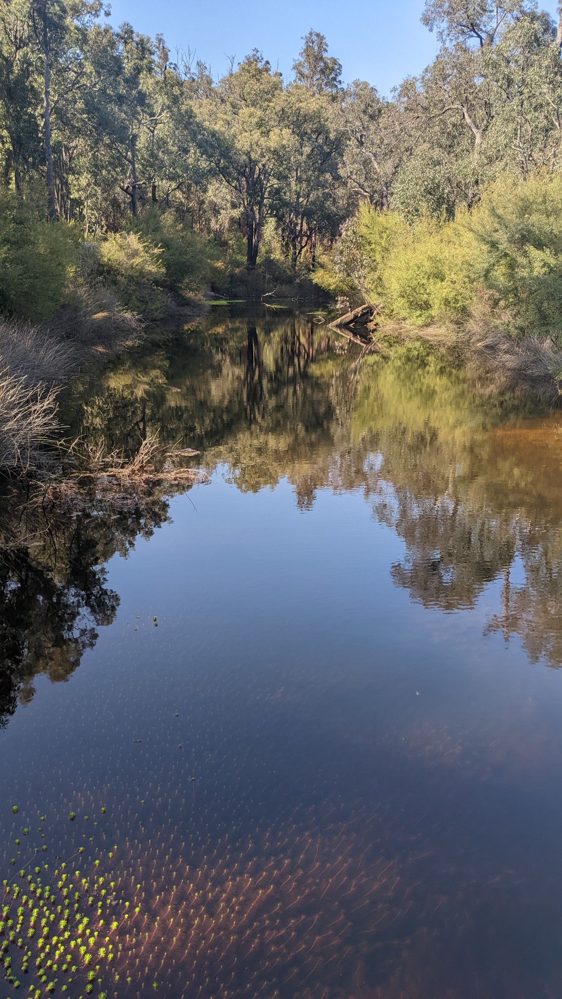
There was an actual river underneath it! I was pleasantly surprised, most of the streams so far have been dry.
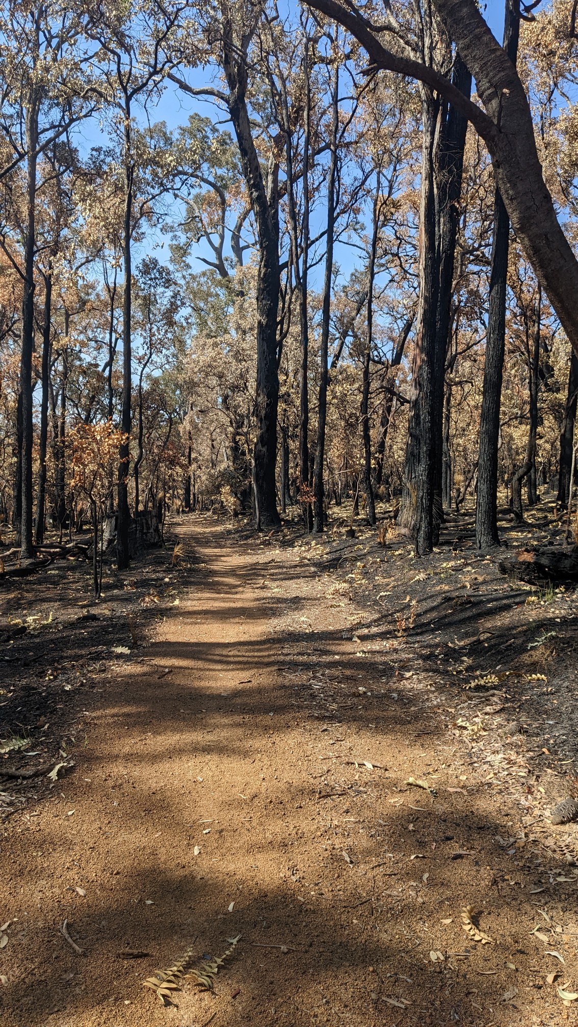
After crossing the bridge I entered another burn area, everything was so blackened and charred.
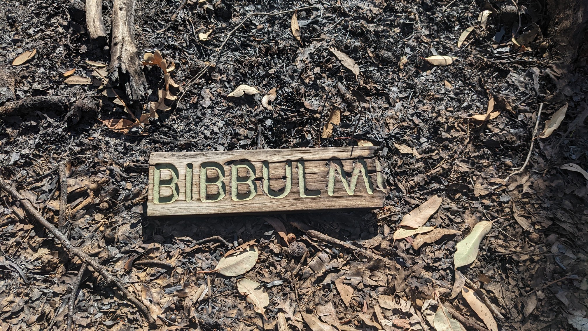
I came across this burned artifact lying on the ground.
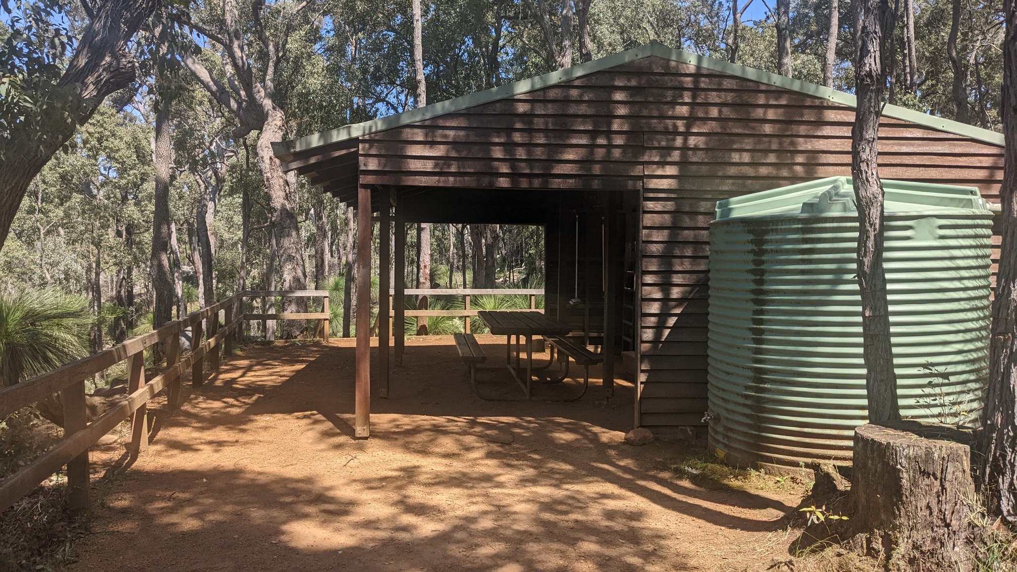
It took me an hour to get thru the burned section, and then I had some nice easy walking on an old dirt road. I came to the Monadnocks shelter at 10am, where I decided to have “3rd breakfast”!
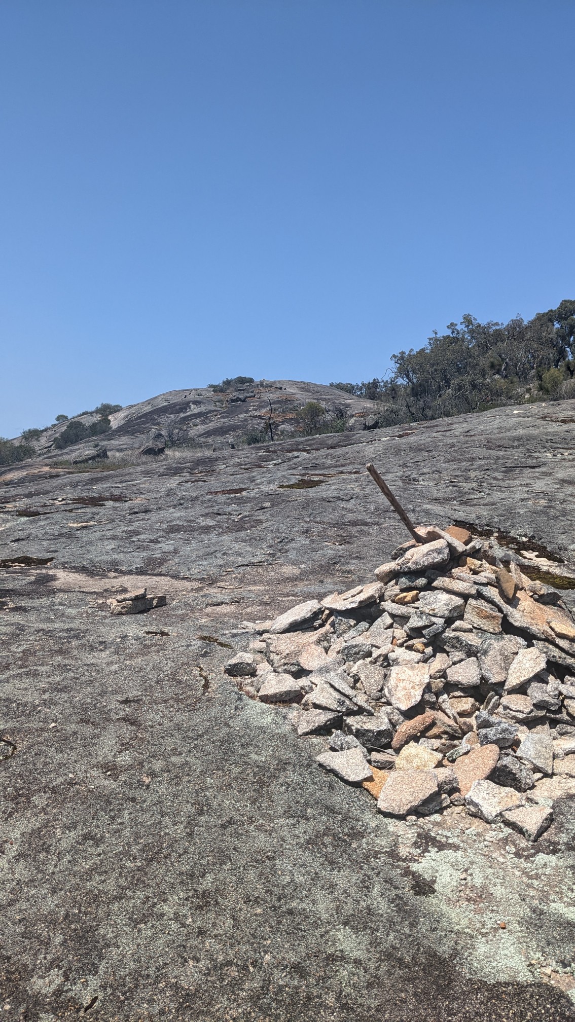
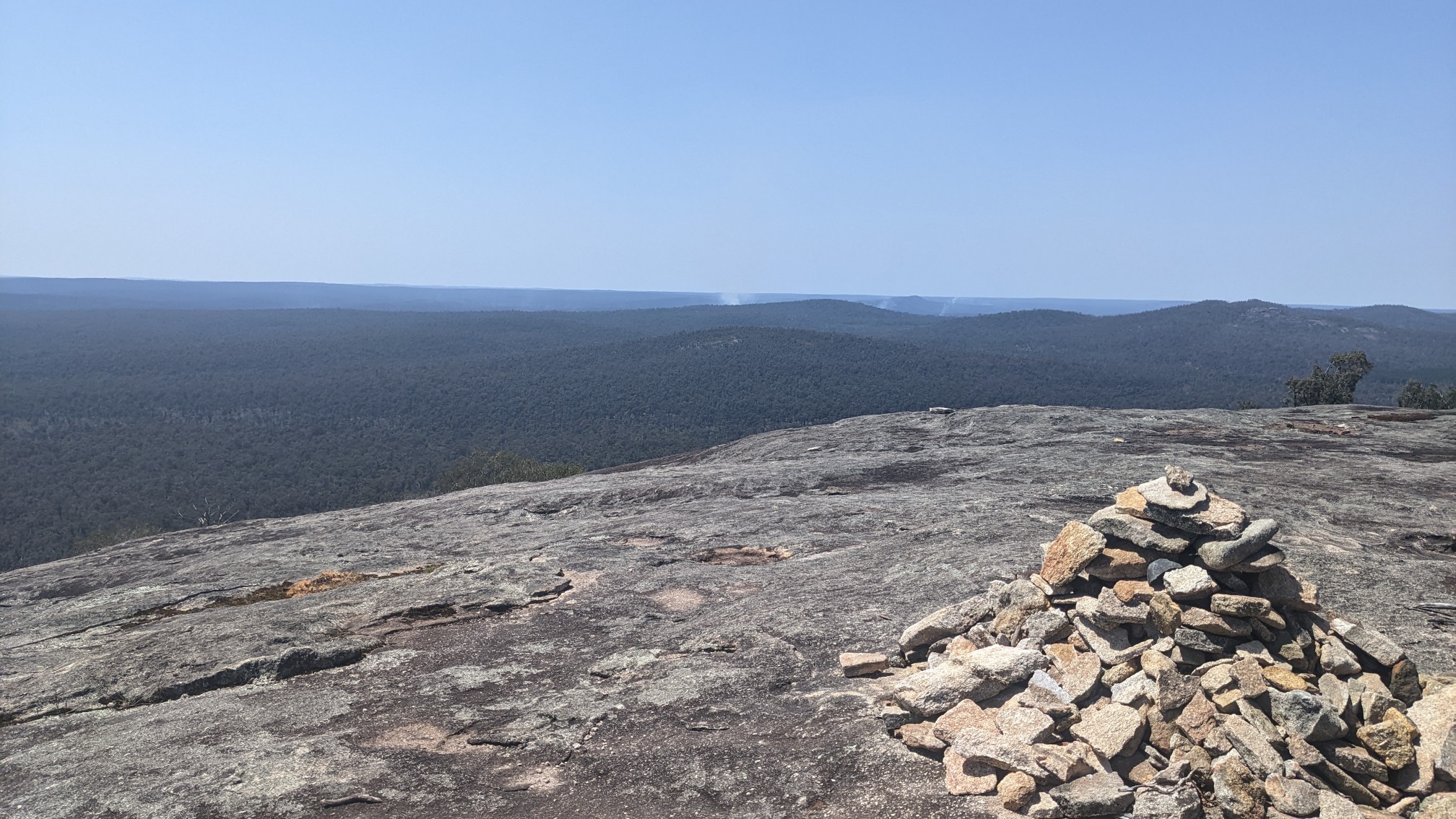
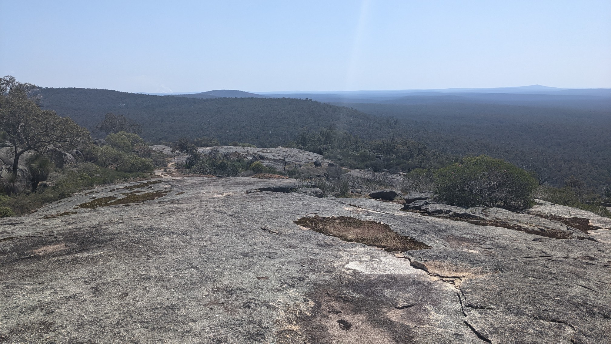
There were three mountains to traverse today, the first one was Mt. Cuthbert, which I think had the best views of all of them. The trail heading up traveled across open slabs.
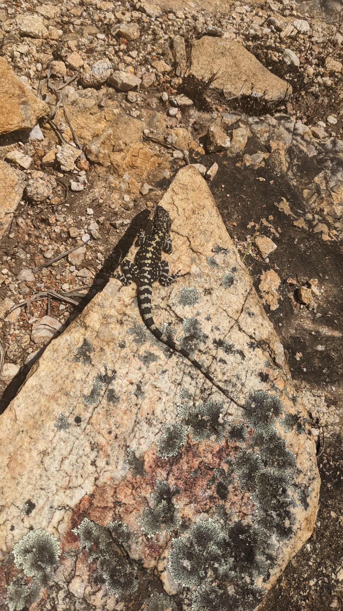
They were tons of these little lizards sunning themselves on the rocks.
The summit was a nice open rocky summit, with views to the east and North.
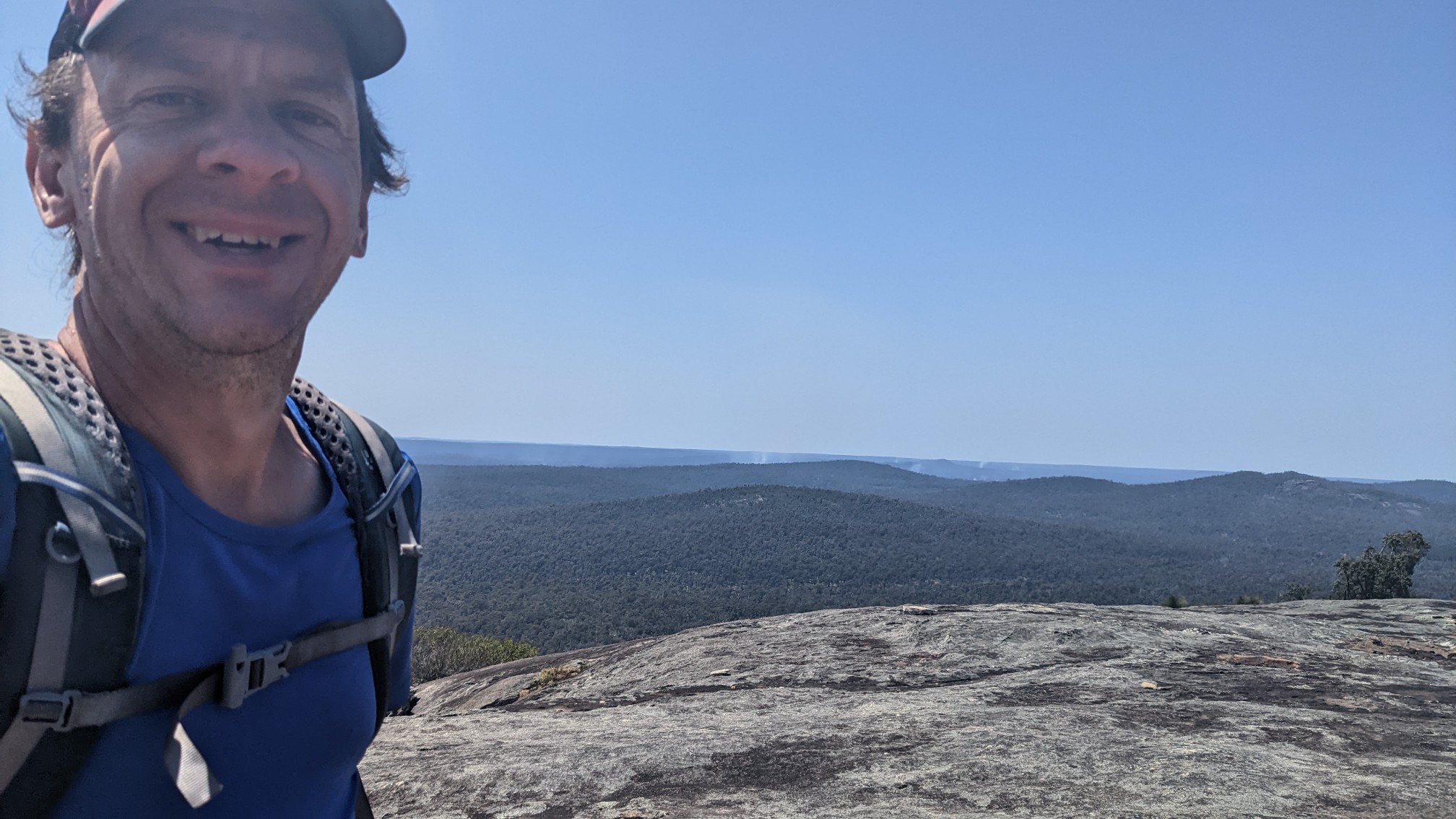
The requisite summit selfie.
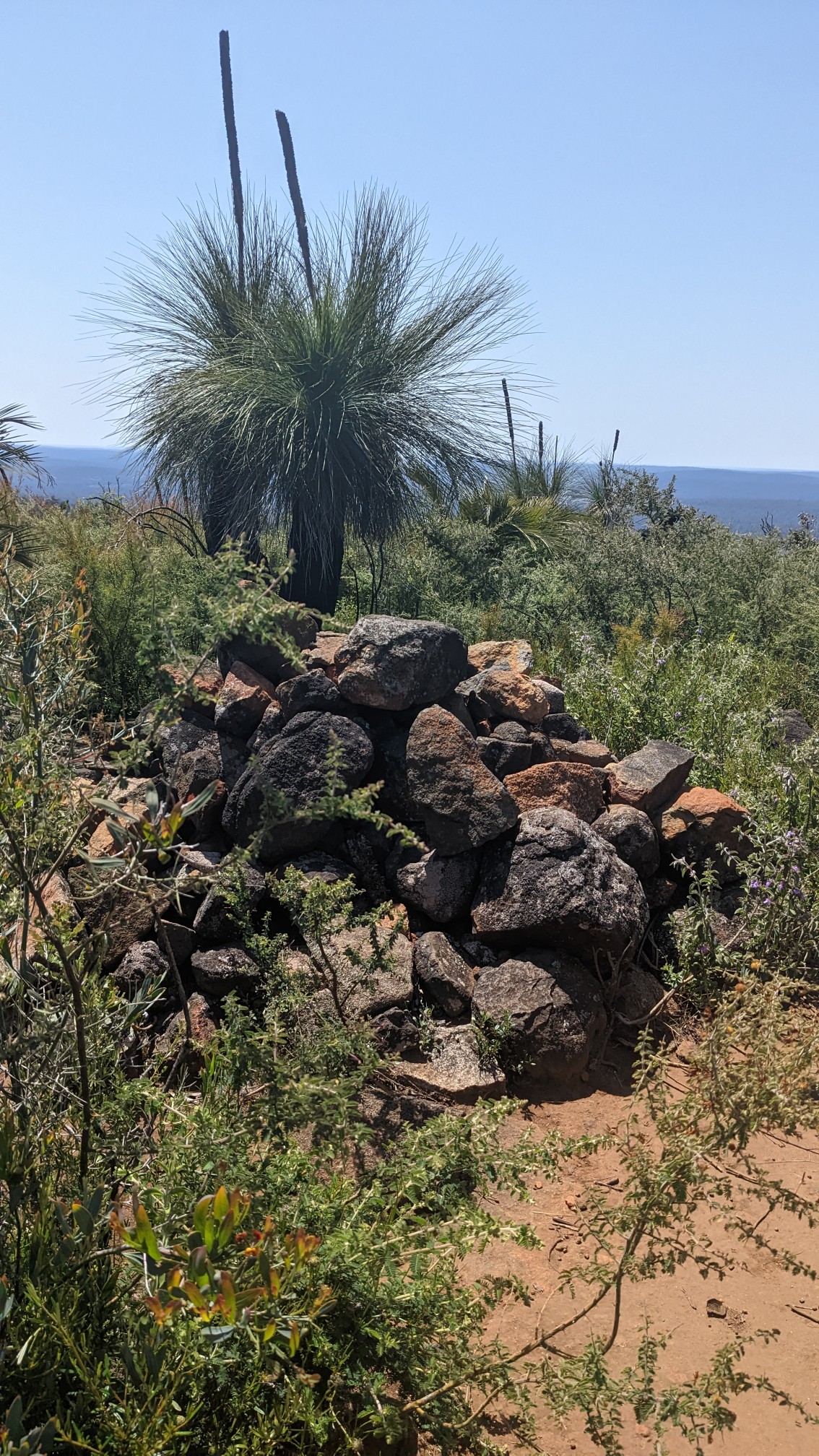
I continued on, and a couple km later, hit the summit of Mt. Vincent. This one was less scenic, and there were bushes growing everywhere.
Fortunately, just beyond the actual summit, that was an open slab of rock with better views. I decided this was a good spot for “first lunch”, and enjoyed a salami and cheese tortilla while gazing down at the valley below.
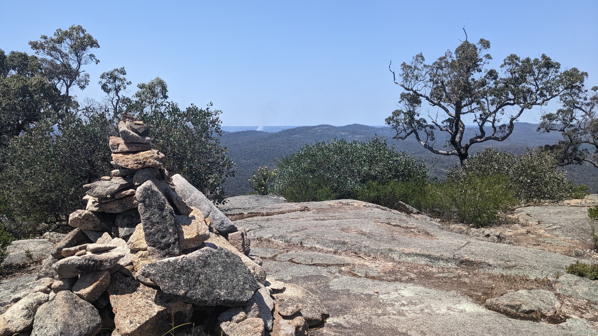
The descent from Mt. Vincent actually had better views than the summit. I loved walking across those open slabs of rock (though it would be terrifyingly slippery if it were raining).
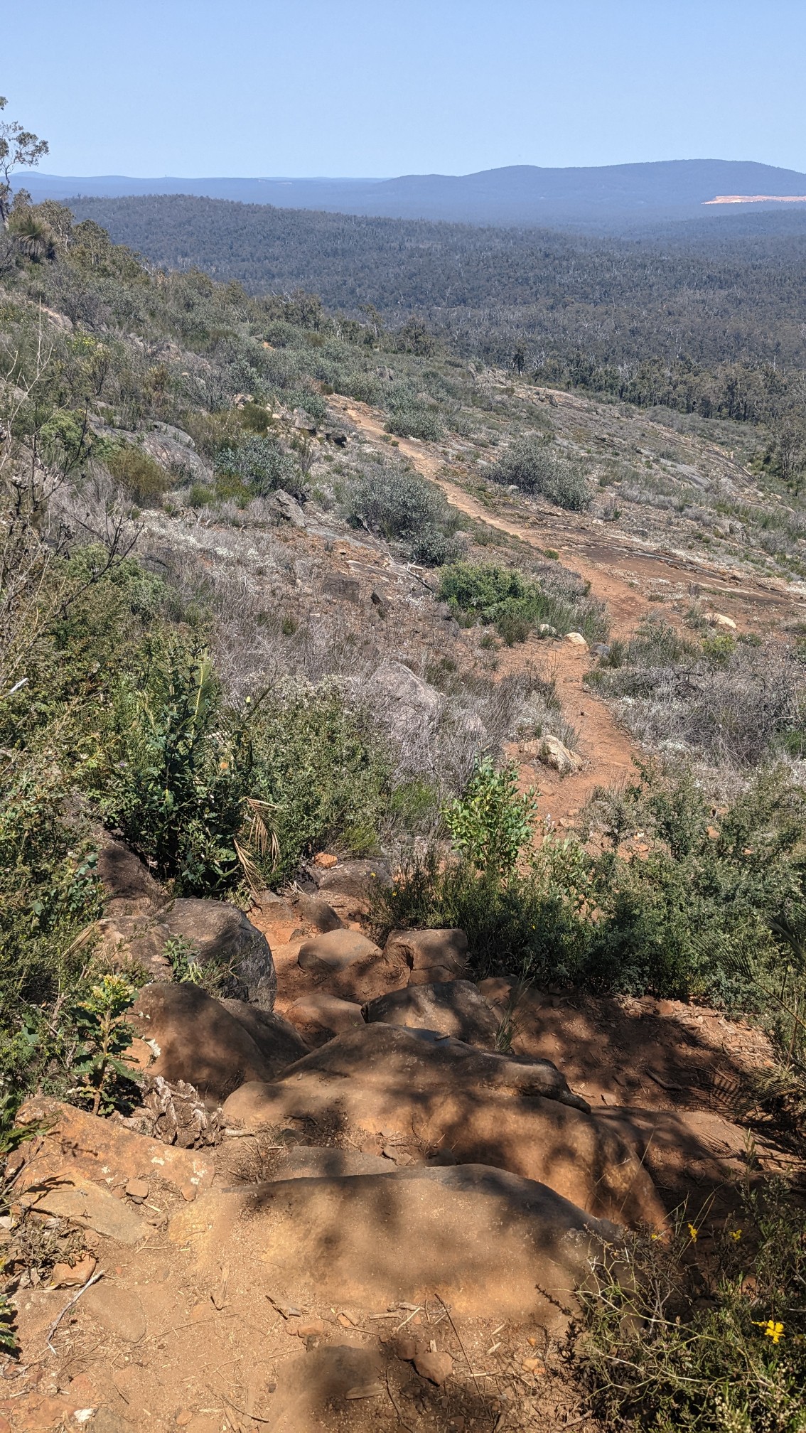
I descended back into the forest and some of the huge ancient trees had been burned out inside their trunks, but the rest of the tree seemed perfectly healthy. Interesting.
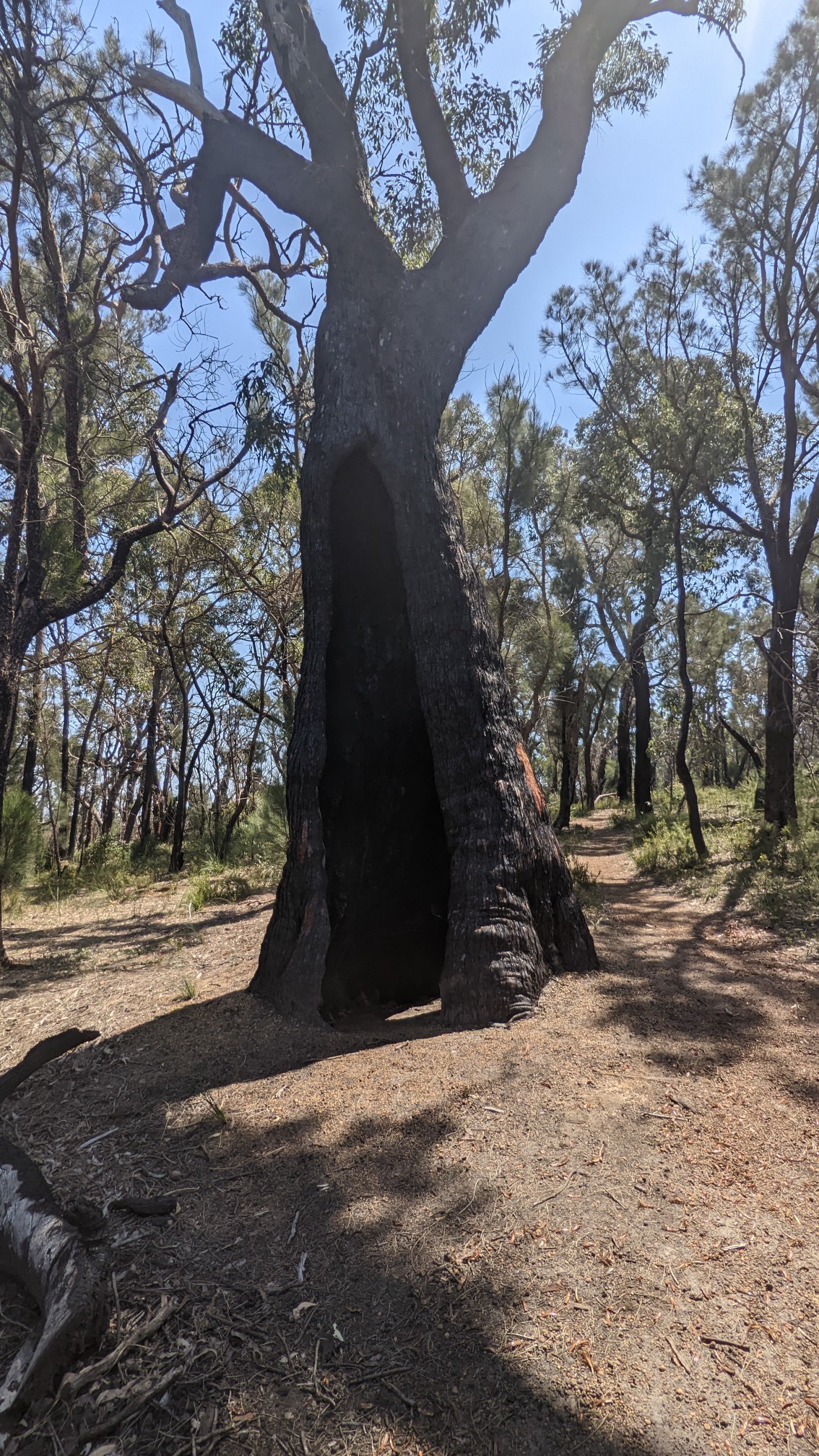
An hour later, I passed the 100km mark!
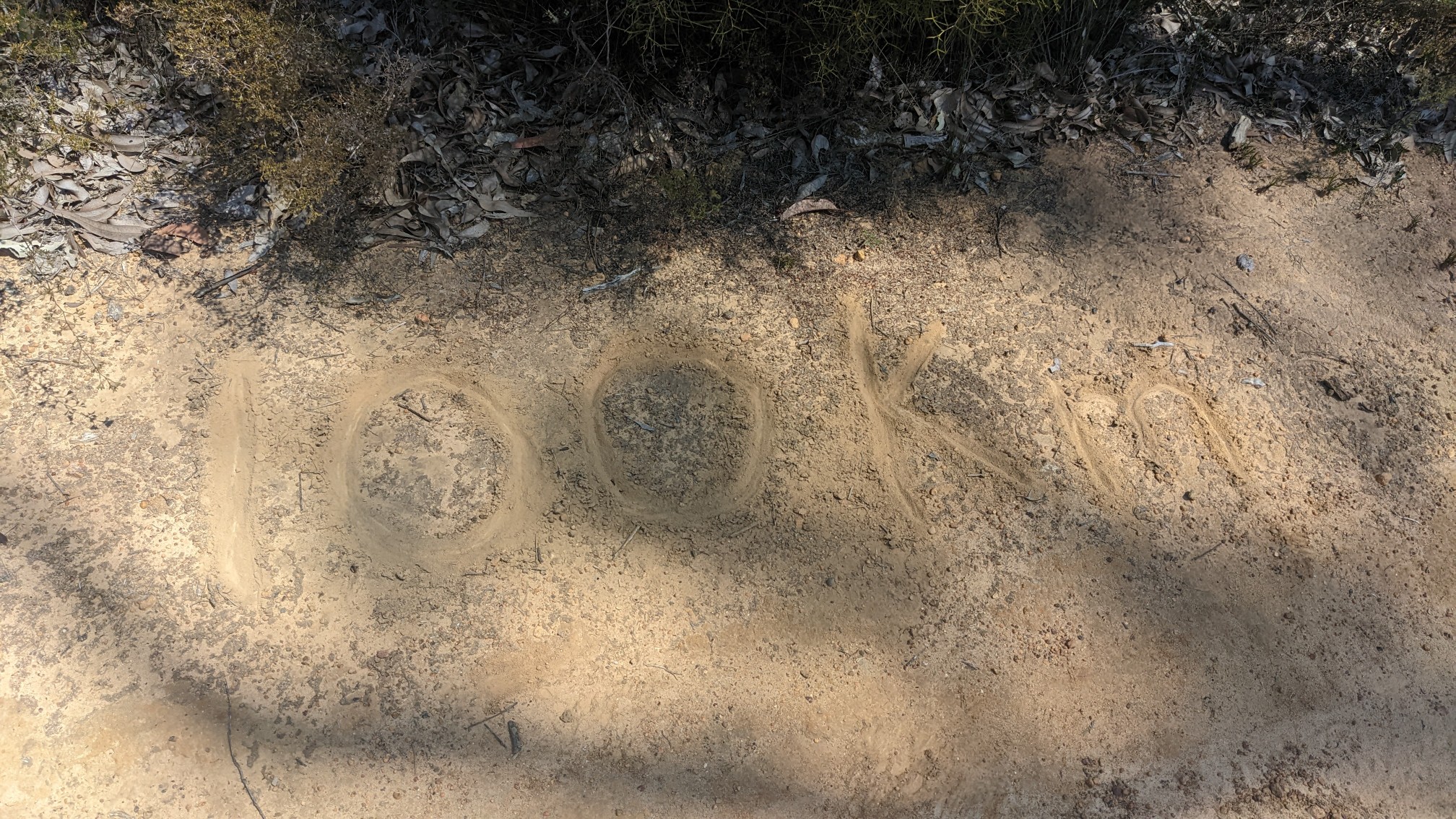
And in another hour, I came to the Mount Cook campsite, where I ate second lunch. And I met this cool group of hikers, and we talked and joked for almost 2 hours. They are from Belgium, Germany, and Australia (in photo order).
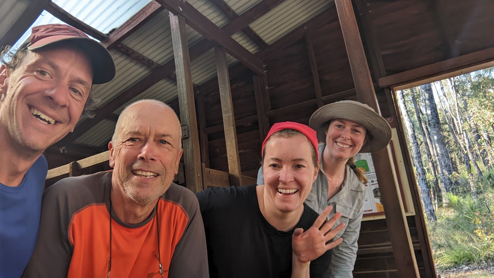
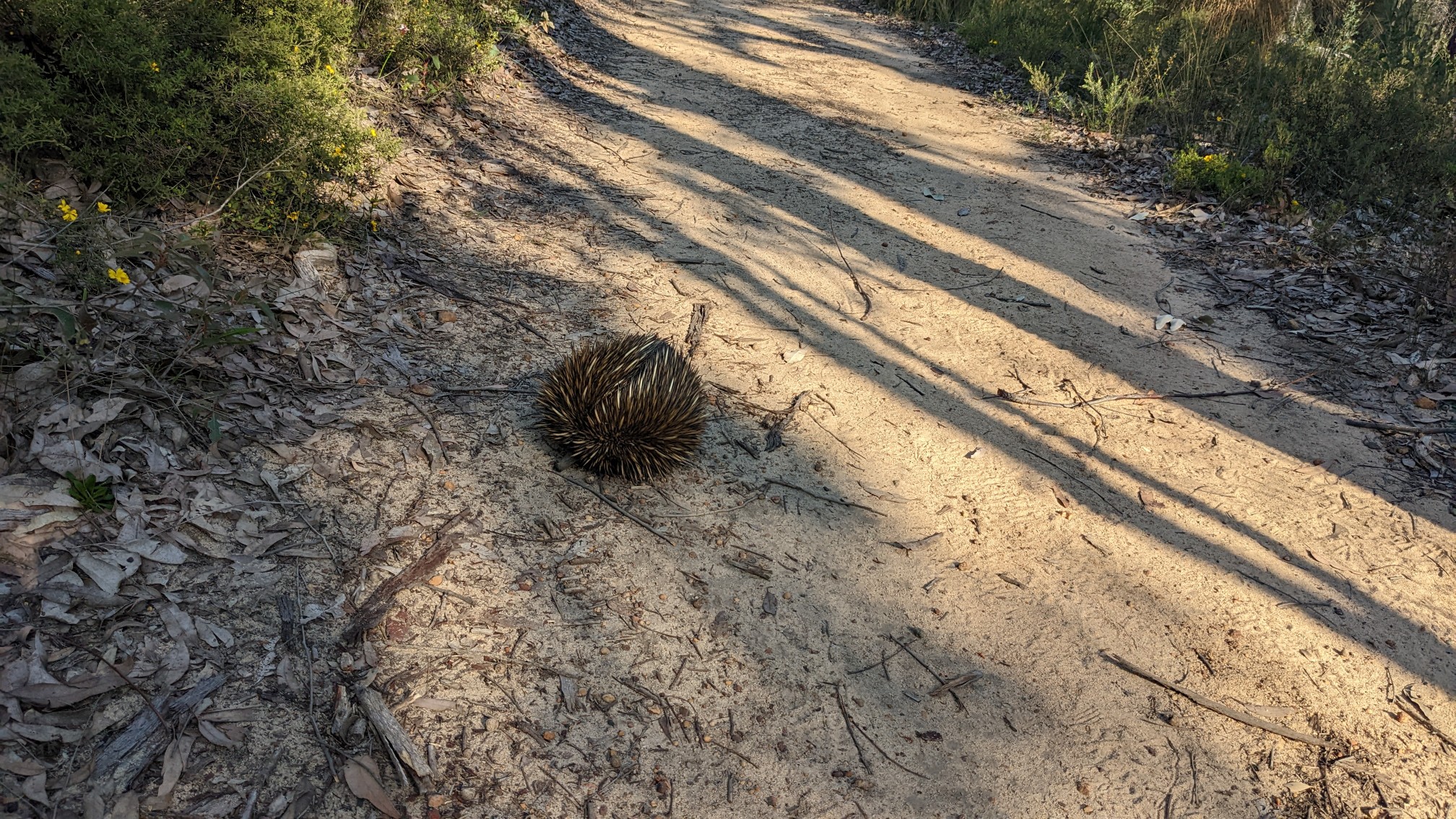
They are the first people I had seen in 2 days, it was so exciting! I almost forgot that I had more hiking to do, so eventually I headed out to hike one more mountain. Within a few minutes I had come across this weird spiky creature. I think it’s called an Echidna. Cool!
After a couple km of moderate uphill hiking, I was on the summit of Mount Cook. It’s the highest point on the Bibbulmun Track, at 583m.
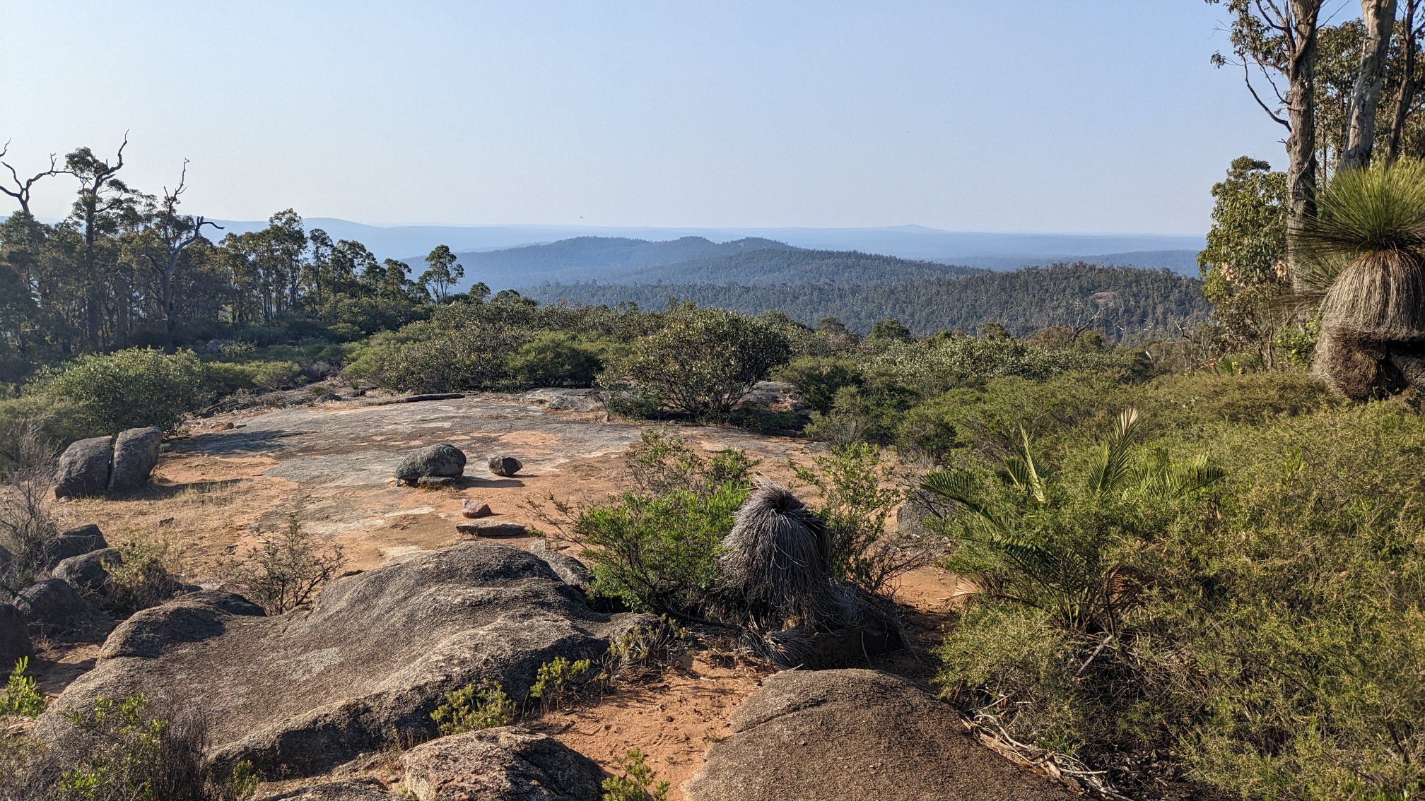
The views were decent, but the sky was a little smoky from some of the burns happening nearby.
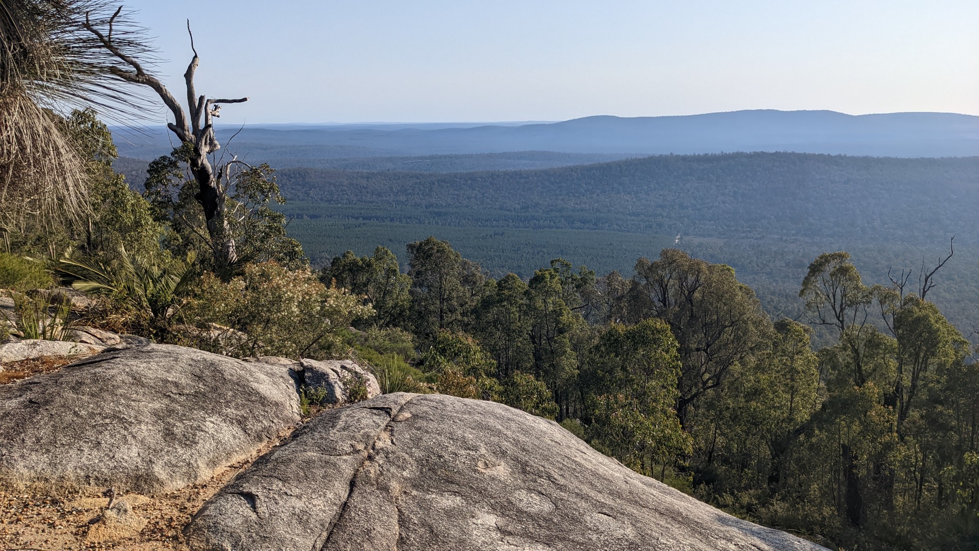
I descended off the mountain quickly, knowing I still had 2 more hours of hiking to do, and it was almost 5pm. The descent was mostly on those nice slabs of rock, and I could see a fire burning in the distance.
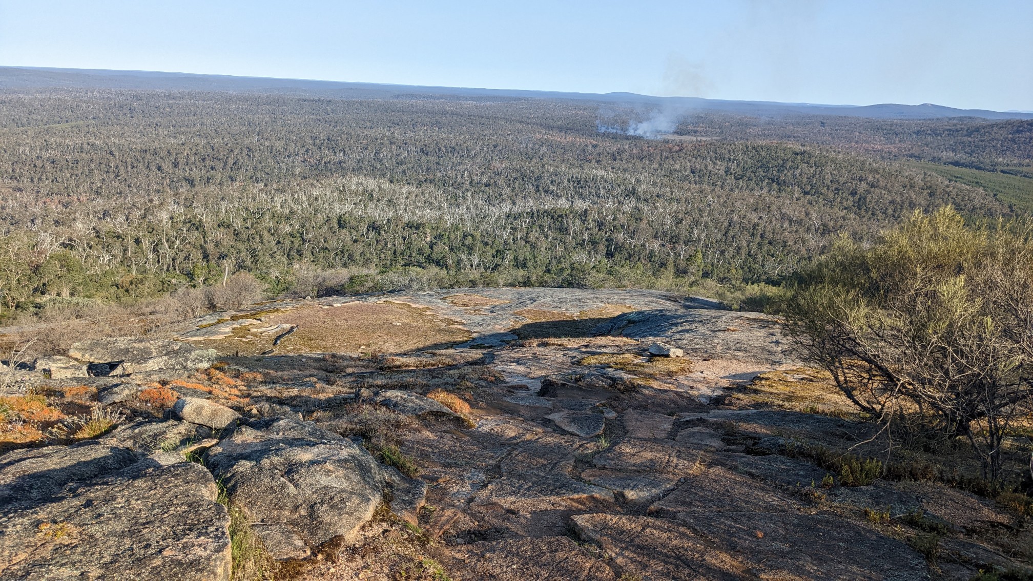
More slab descent, wheeeee!
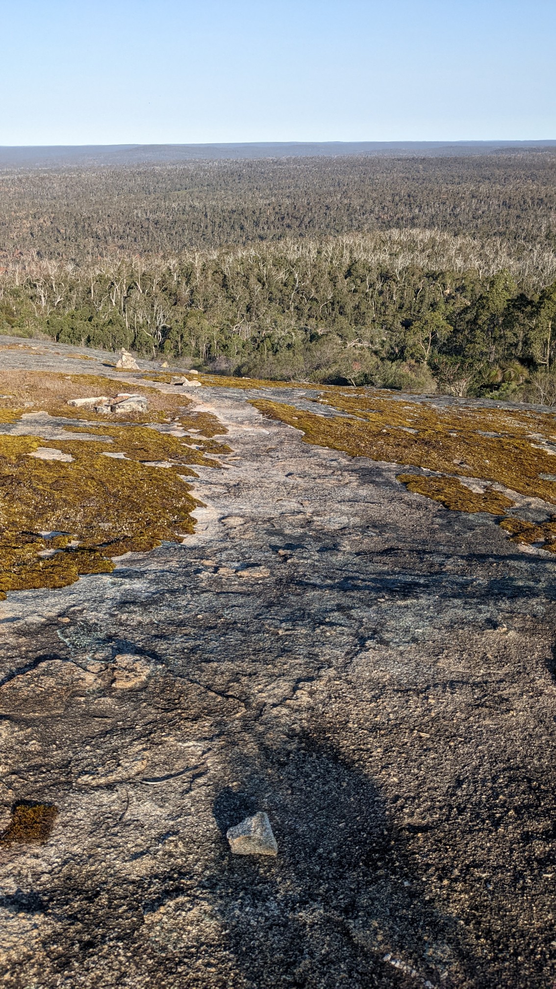
I re-entered the forest and followed an old road for the rest of the day. I was walking pretty quickly, and made it to the campsite at 6:45pm, about 10 minutes before darkness. Perfect! By the time I had setup my tent and made dinner, it was completely dark.