Sunday October 30, 38.7km/24.1mi
Donnelly River Village (456.6/252m) to Boardinghouse Campsite (495.3/165m) (WA)
I awoke to Wayne getting his bunk packed up (Dave slept outside in the 3-sided shelter, he likes it cold), and I got dressed and headed over to the kitchen.
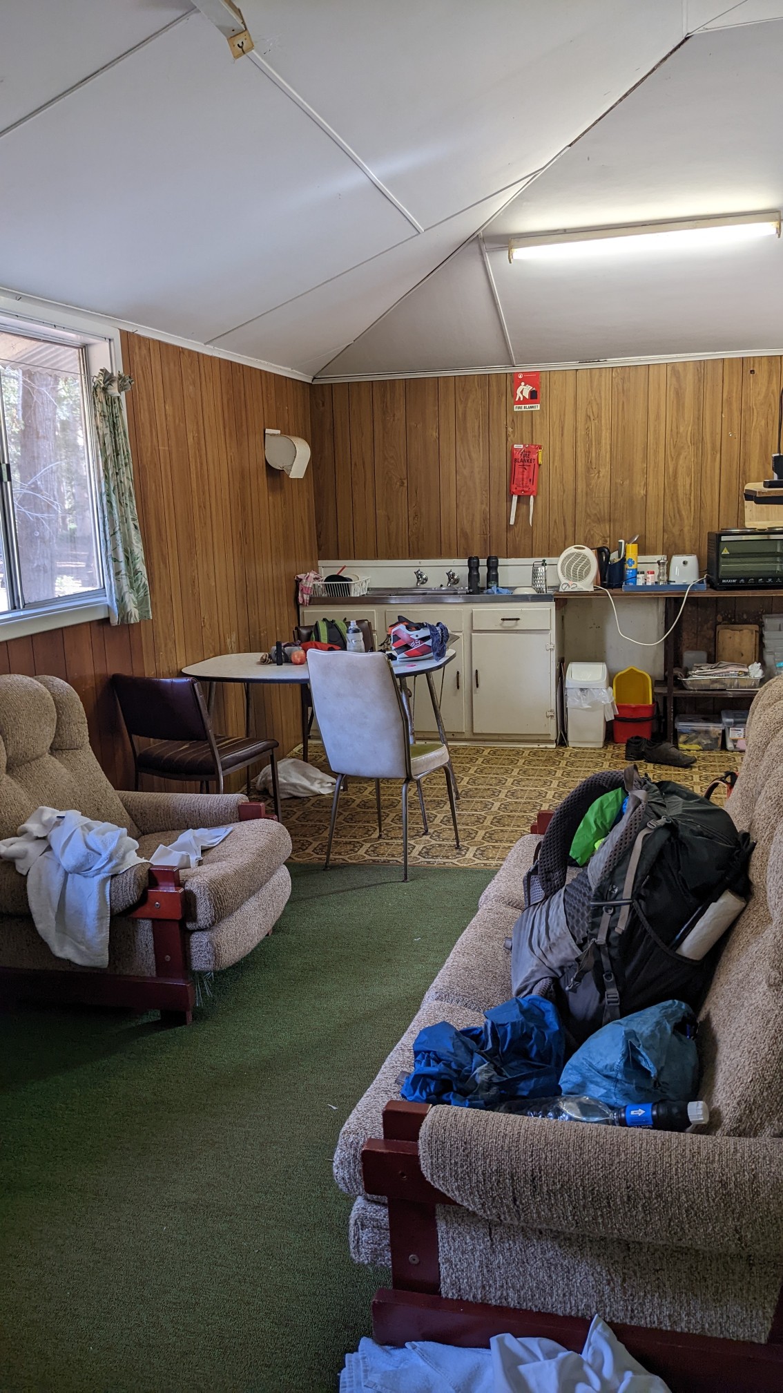
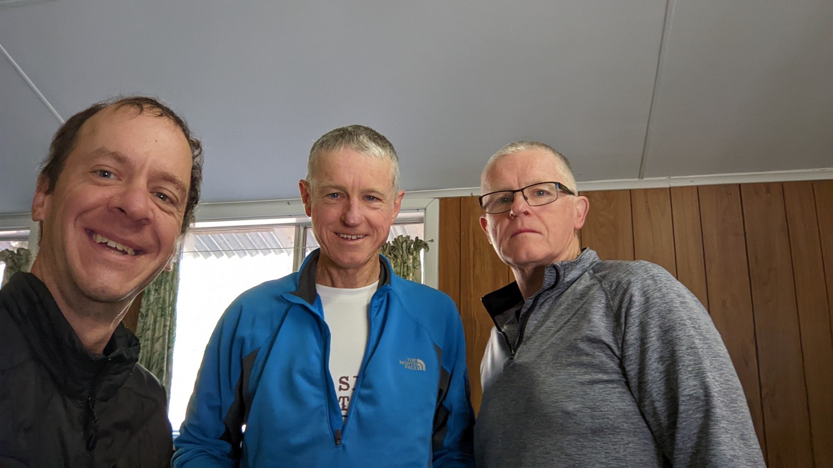
There were 3 of us packing and having breakfast in there (it was the only heated room), so it was busy. I said my goodbye to them and hiked out at 7:45am.
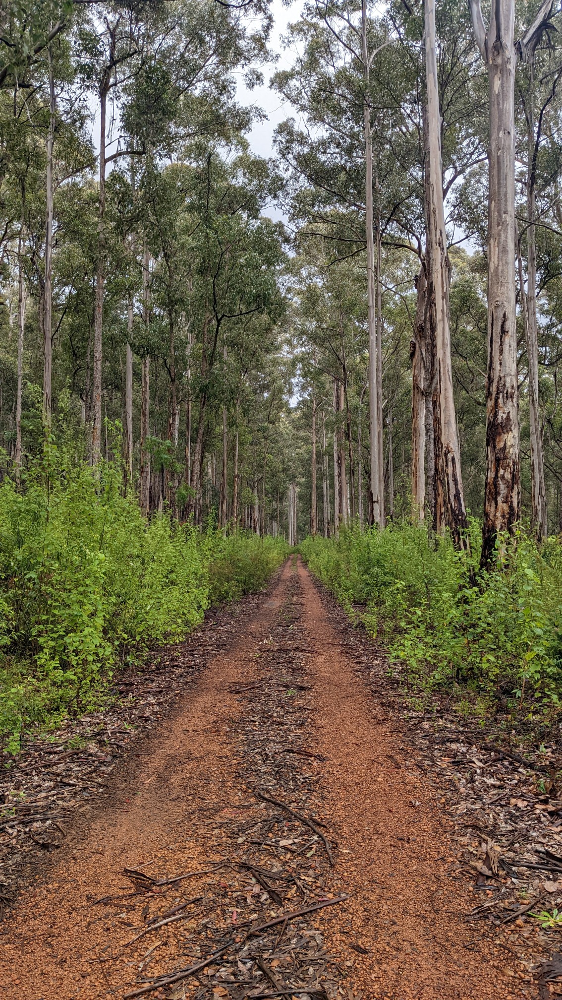
The trail immediately left the village and entered a Karri forest. I love the massive trees.
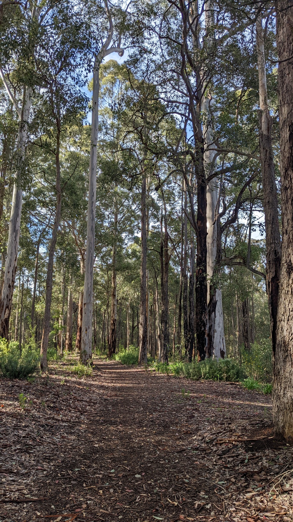
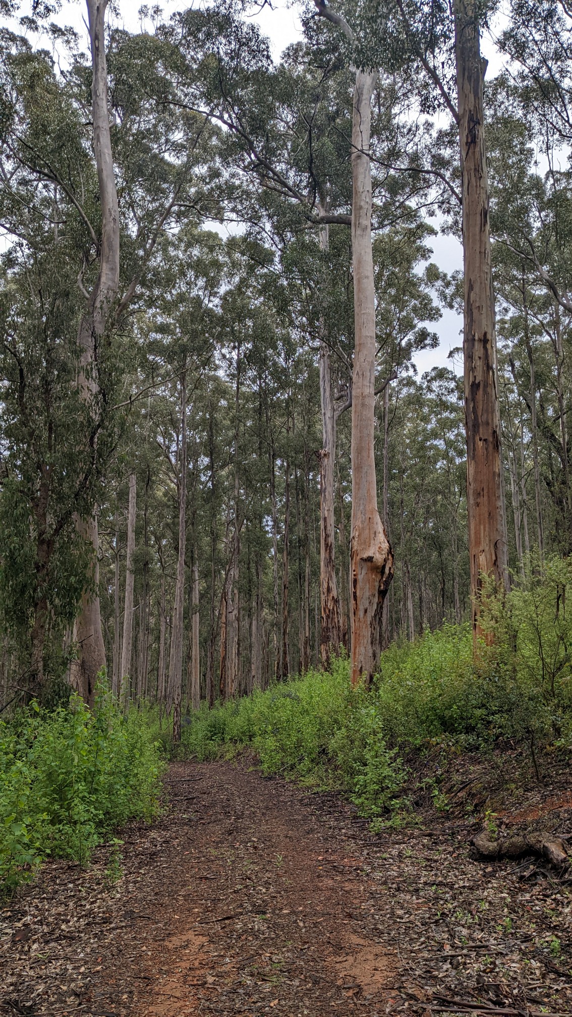
It kept going in the Karri forest for awhile.
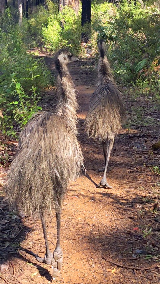
After an hour, I heard a commotion up ahead and saw a large group of Emus (a “stampede”) in the trail. Most of them went off to the side, but 2 kept walking in the trail. I was stuck in morning traffic on the Bibbulmun.
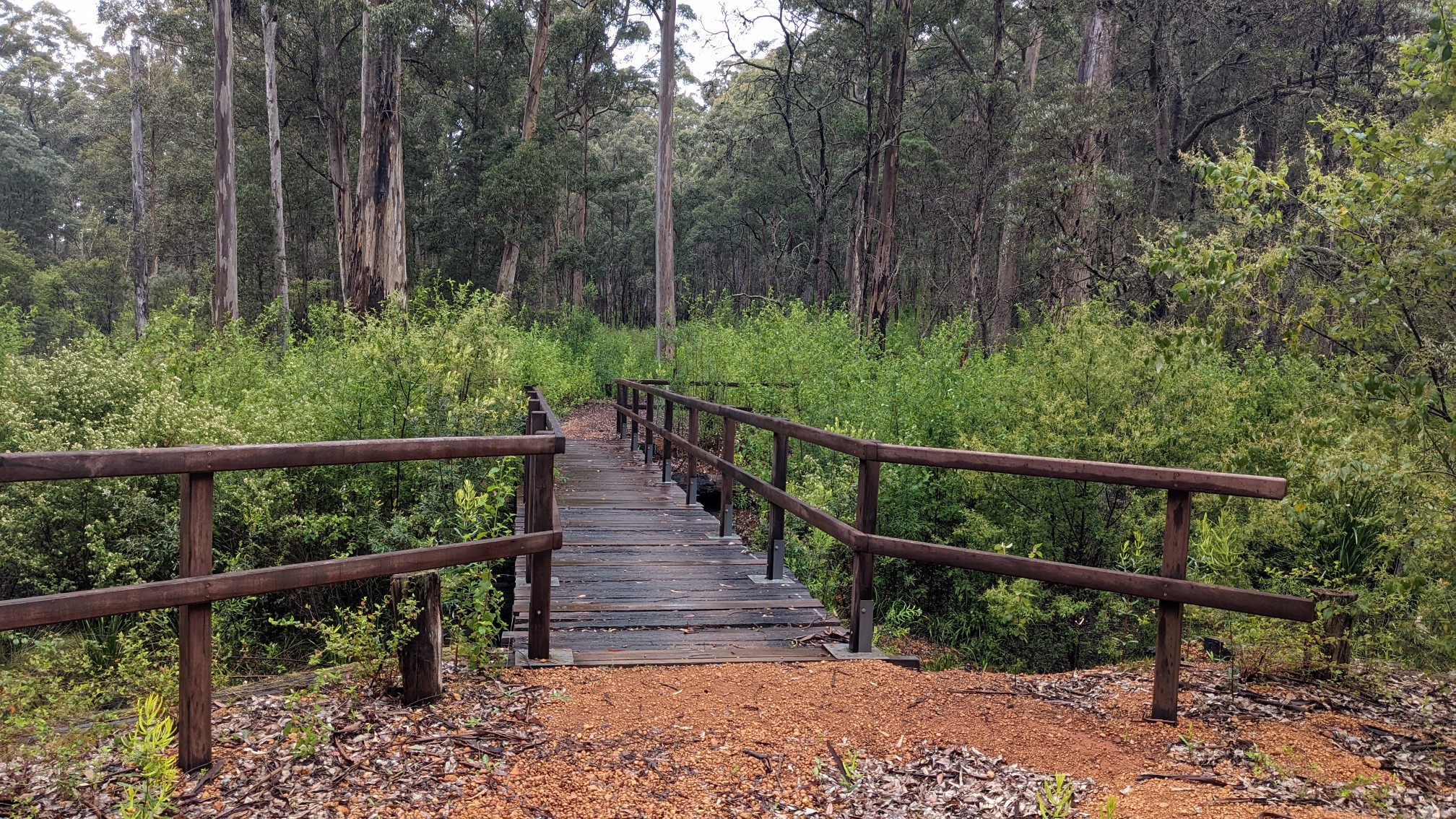
It rained for 10 minutes in mid-morning, and it did this four more times in the afternoon too. I kept walking along the Donnelly River, and occasionally crossed it. There were a variety of bridges.
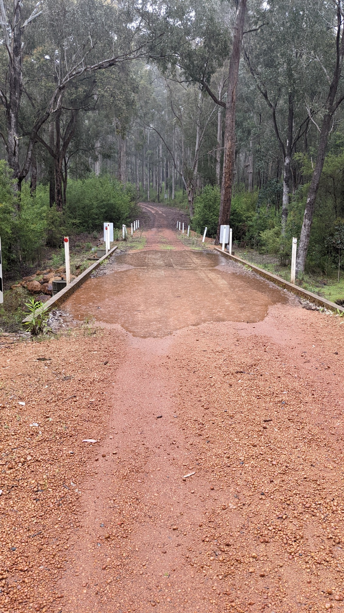
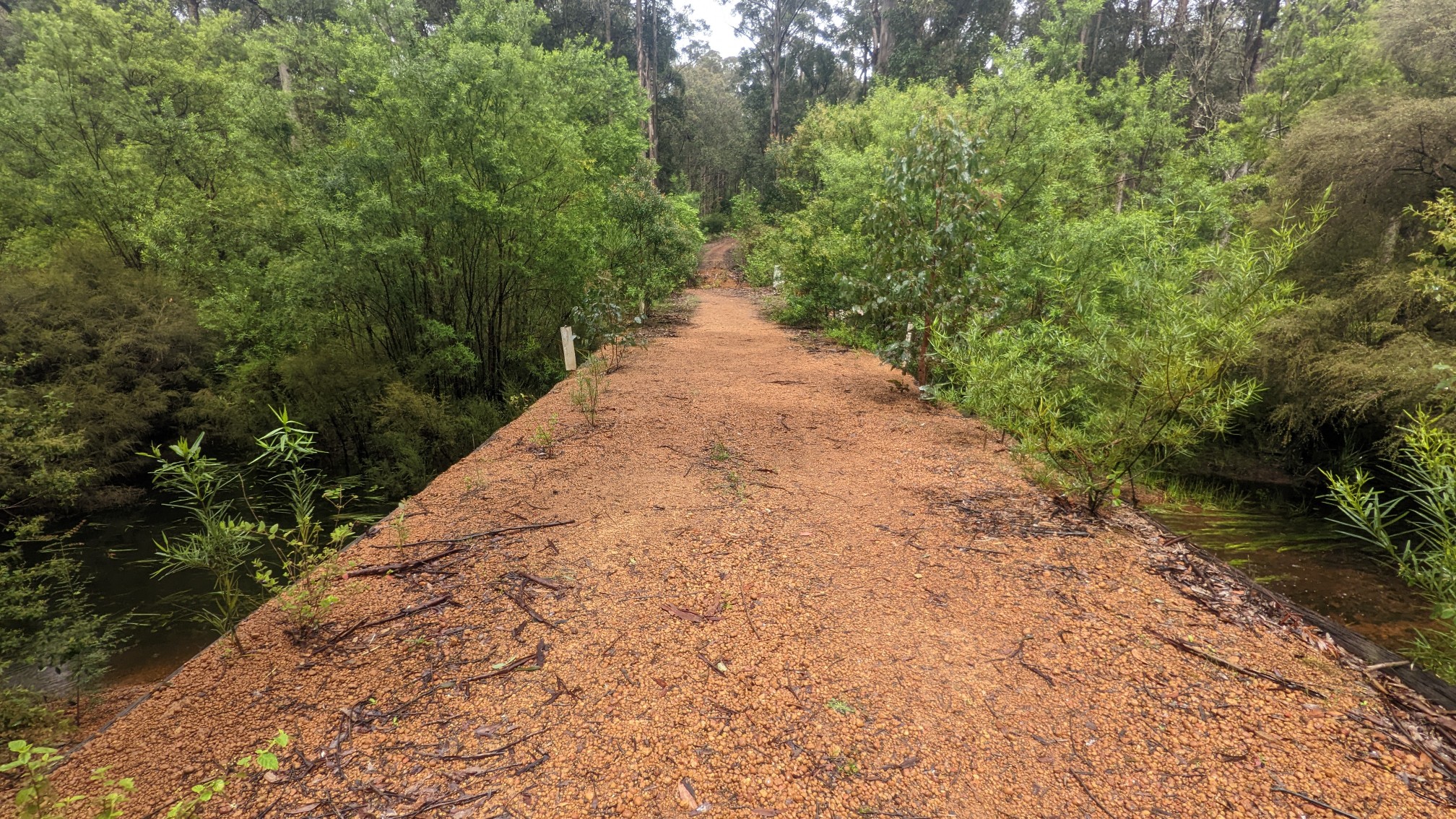 The river wasn’t very big, but it was slowly increasing in size as I hiked downstream.
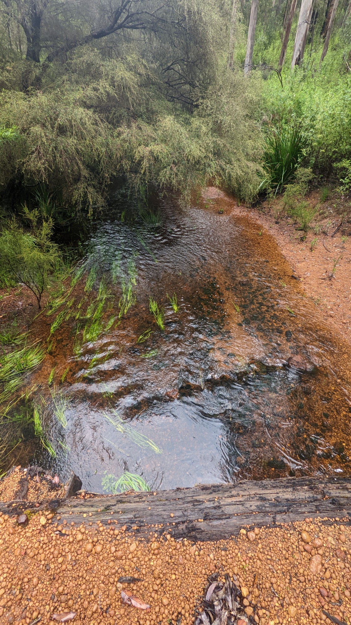
The trail basically had 2 modes all morning: wall of brush, and open Karri forest.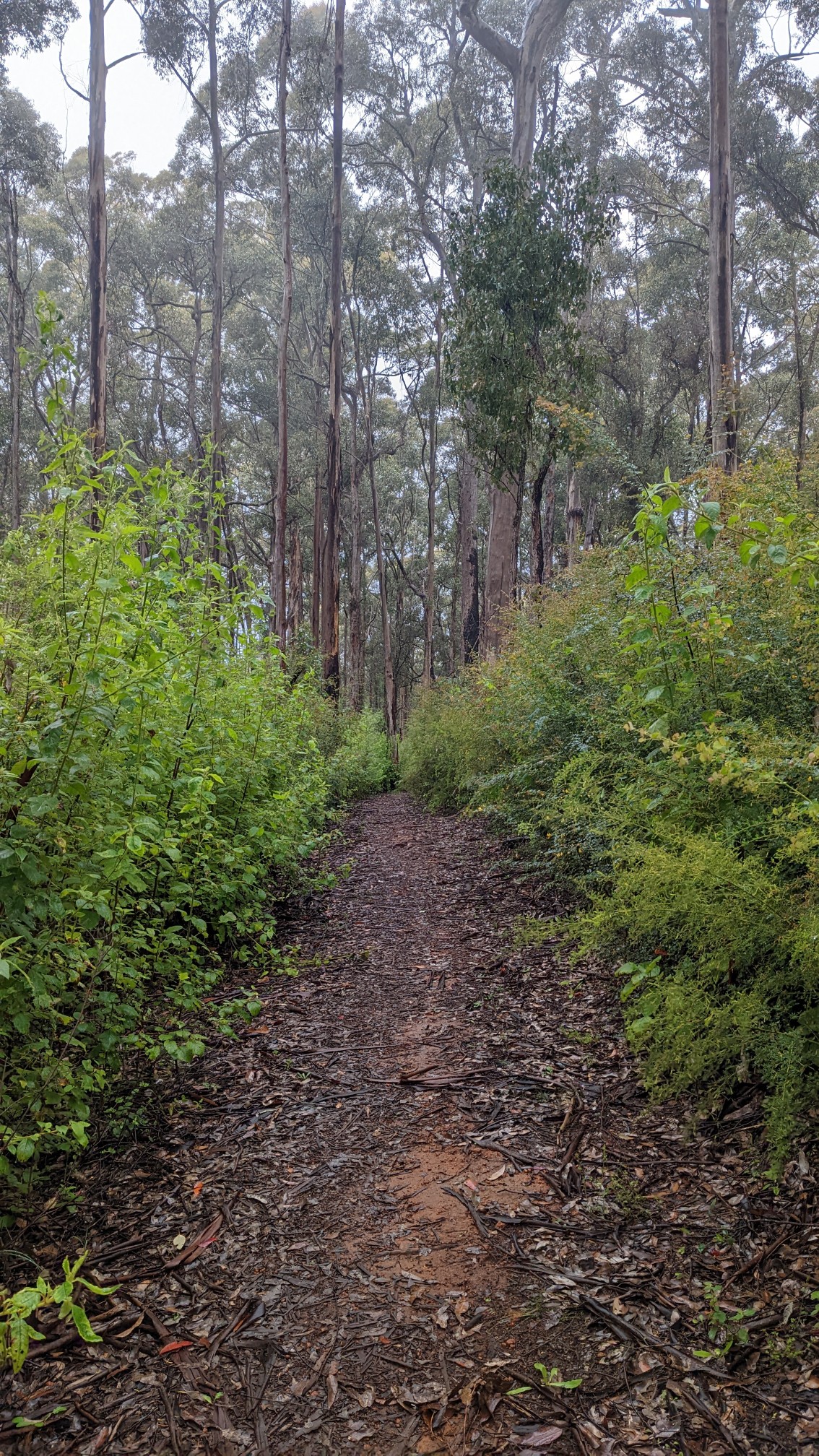
I stopped for a very early lunch at the Tom road shelter.
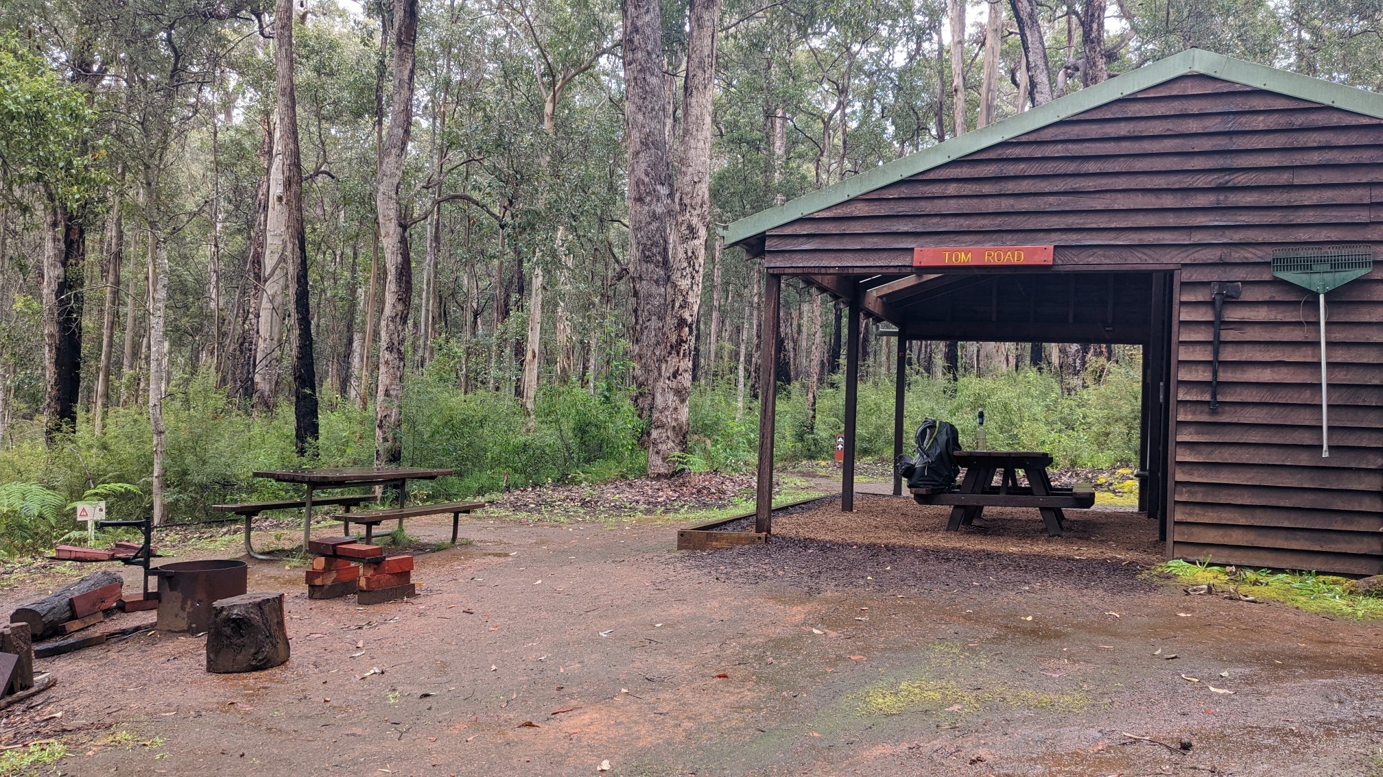
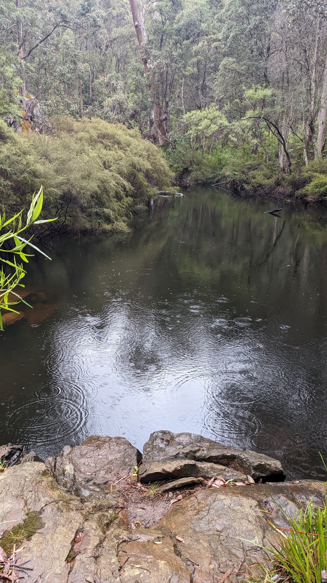
As soon as I got there it started to rain again, while I enjoyed my burrito and snacks from under a dry roof. The shelter was situated right on the Donnelly River, which by now had grown larger. There was a path right to a nice swimming hole! Too bad it was only 13C.
The Sun came back out and I continued down the trail. For a little while I merged with the Munda Biddi trail (the Bibb’s bike trail sister).
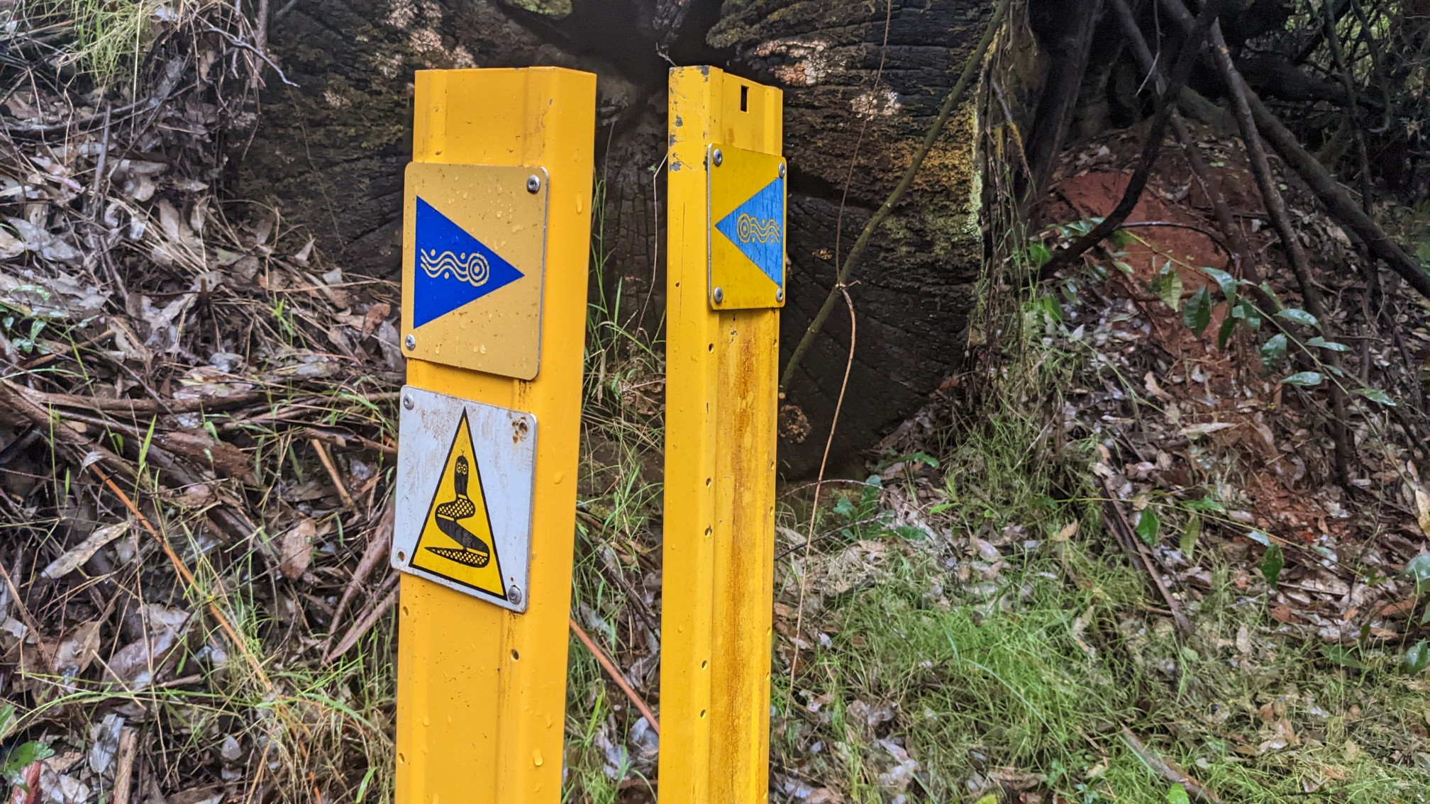
And of course, I followed and crossed the Donnelly River a few more times.
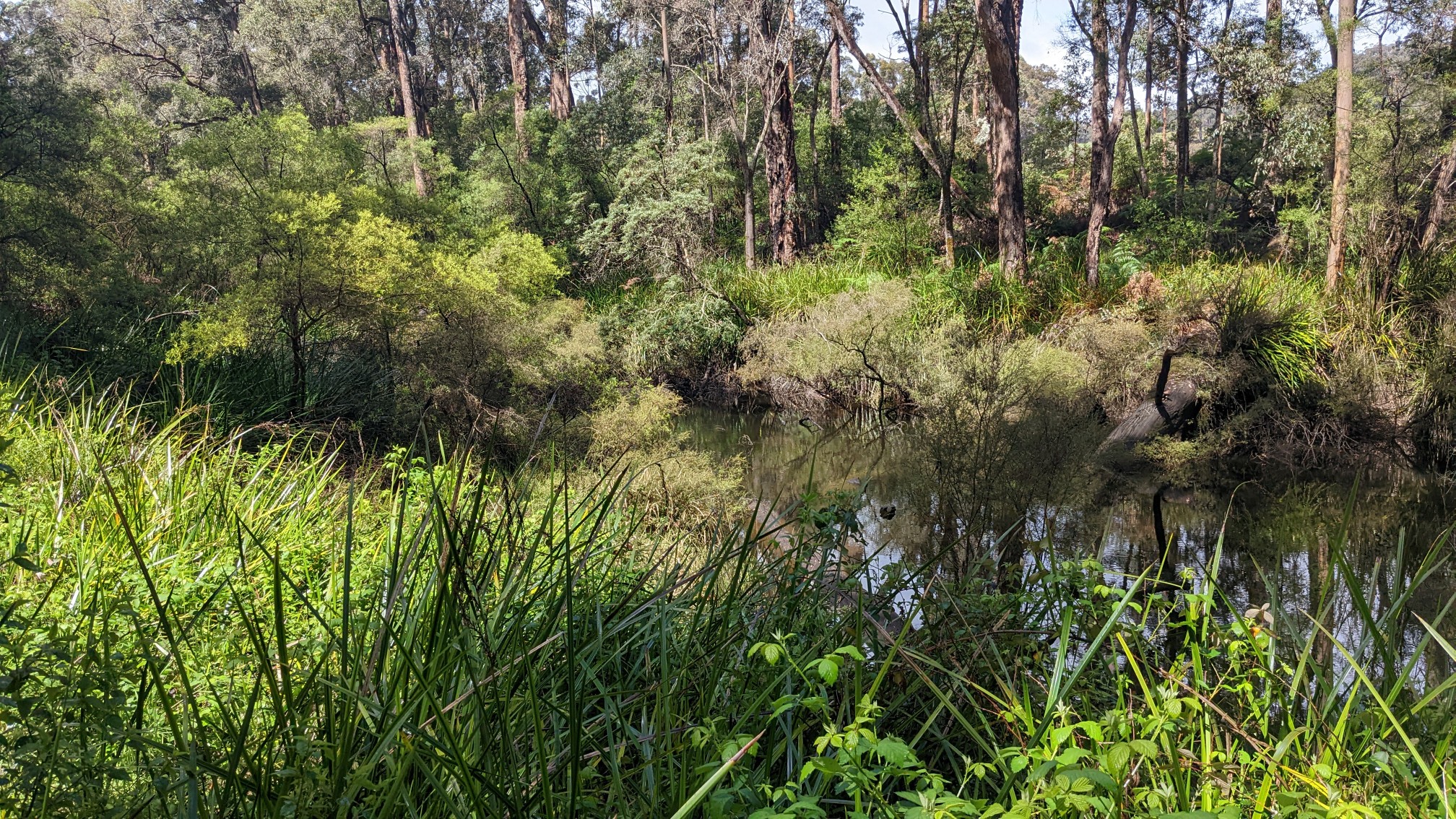
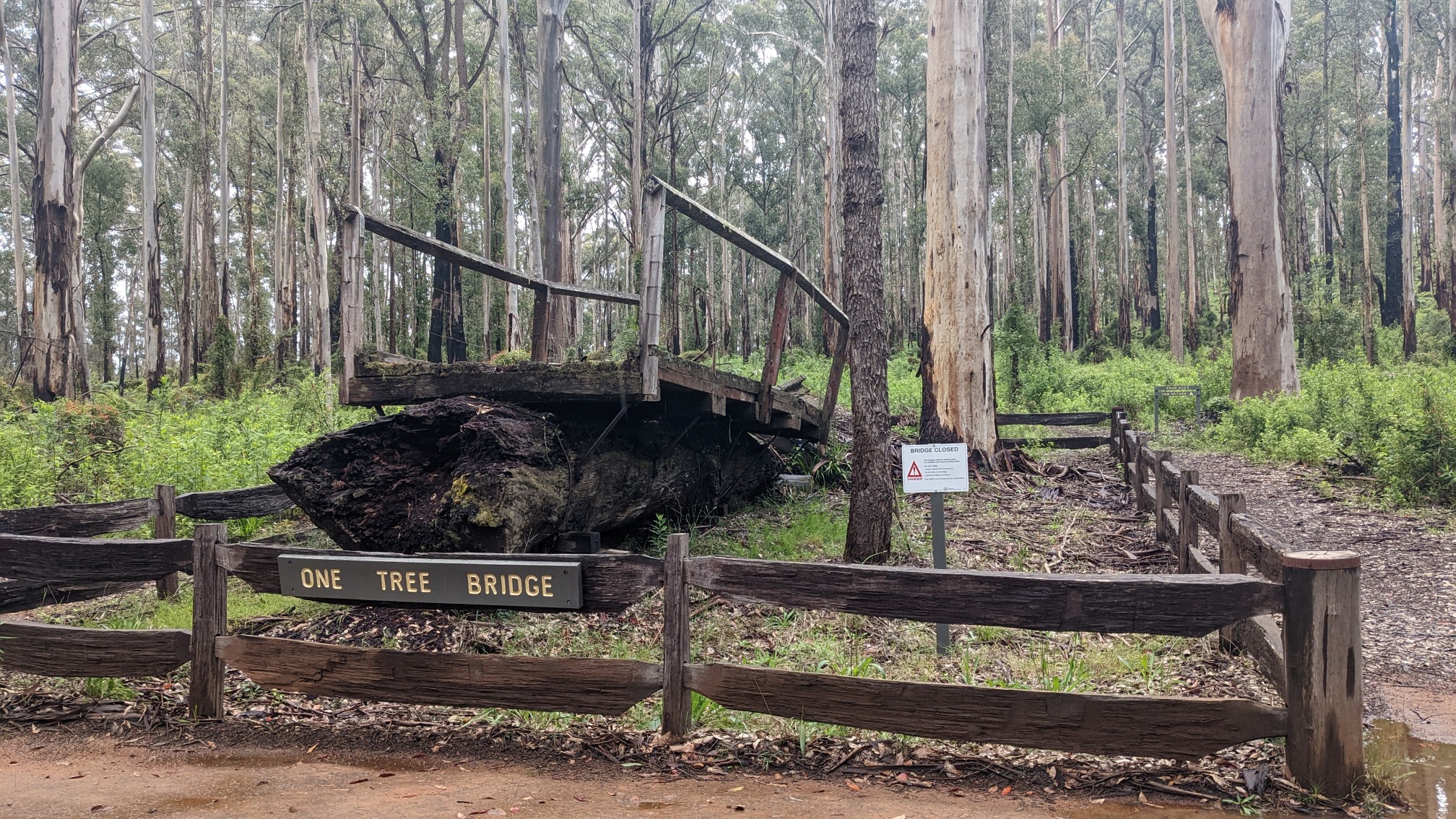
The most unique bridge was a historical one, called “One tree Bridge.” A large Karri tree had fallen across the river, and they had decided to build a bridge with that log as the base.
That bridge’s modern replacement was a fun swingbridge.
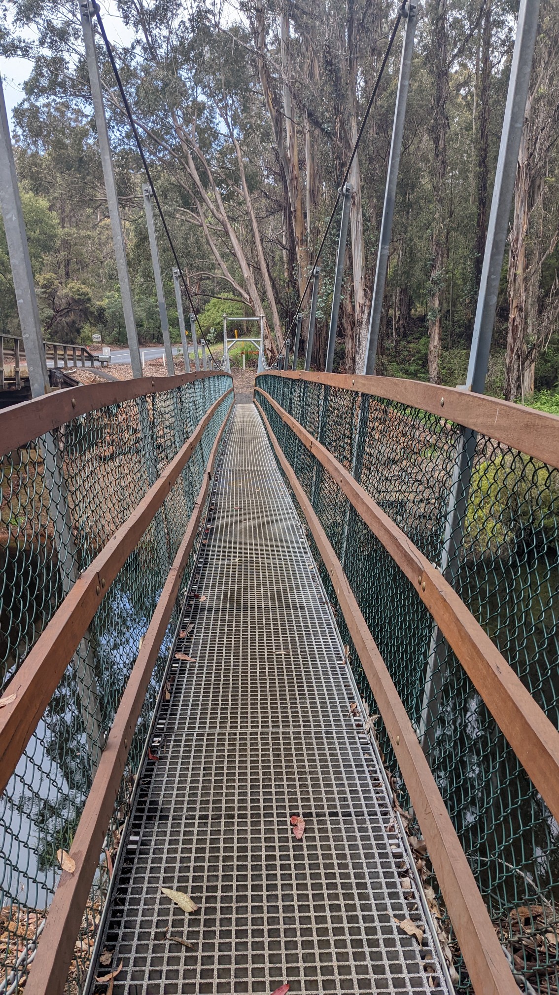
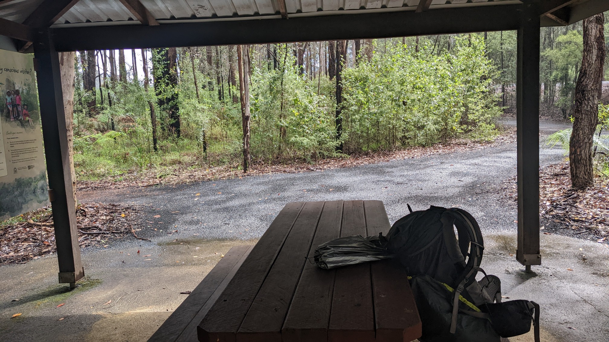
There was a picnic shelter by this area which was fortunate because it was starting to rain, so I ducked under there for awhile and had a snack. At least these rainstorms only last 10 minutes each…
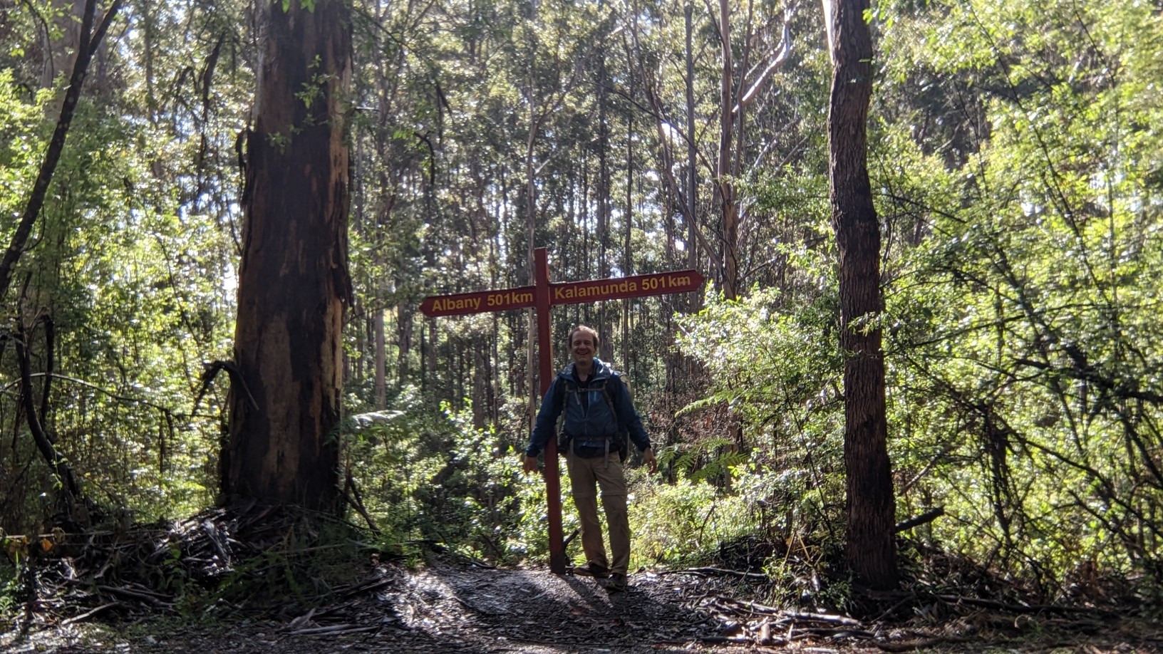
An hour of hiking later, and I was at the trail’s halfway point, which even had a special sign to commemorate the point. 501km to either end!
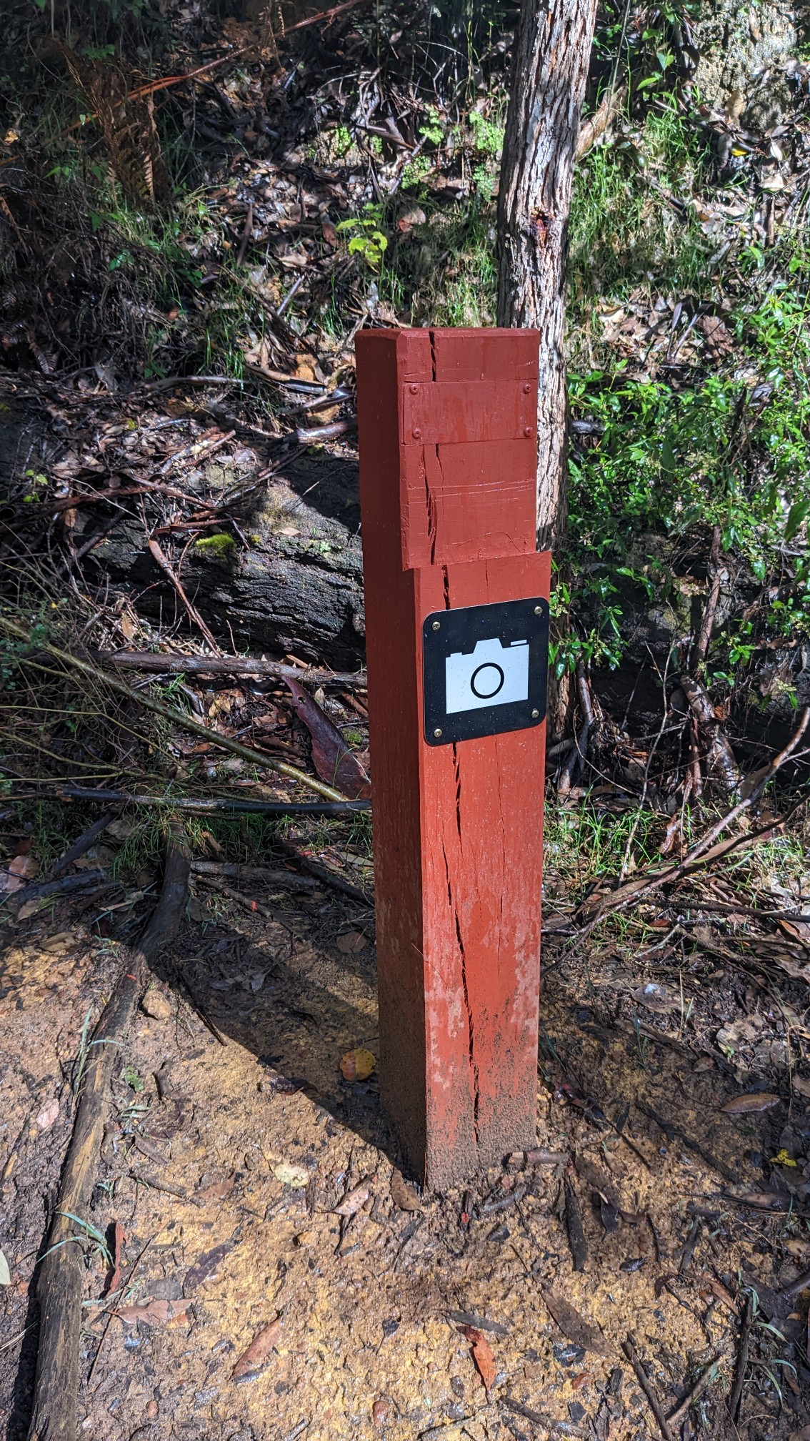
Across from the sign was a pole to hold your camera or phone. I thought this was really entertaining.
At the end of the day, I crossed the Donnelly River one final time on a large Karri log.
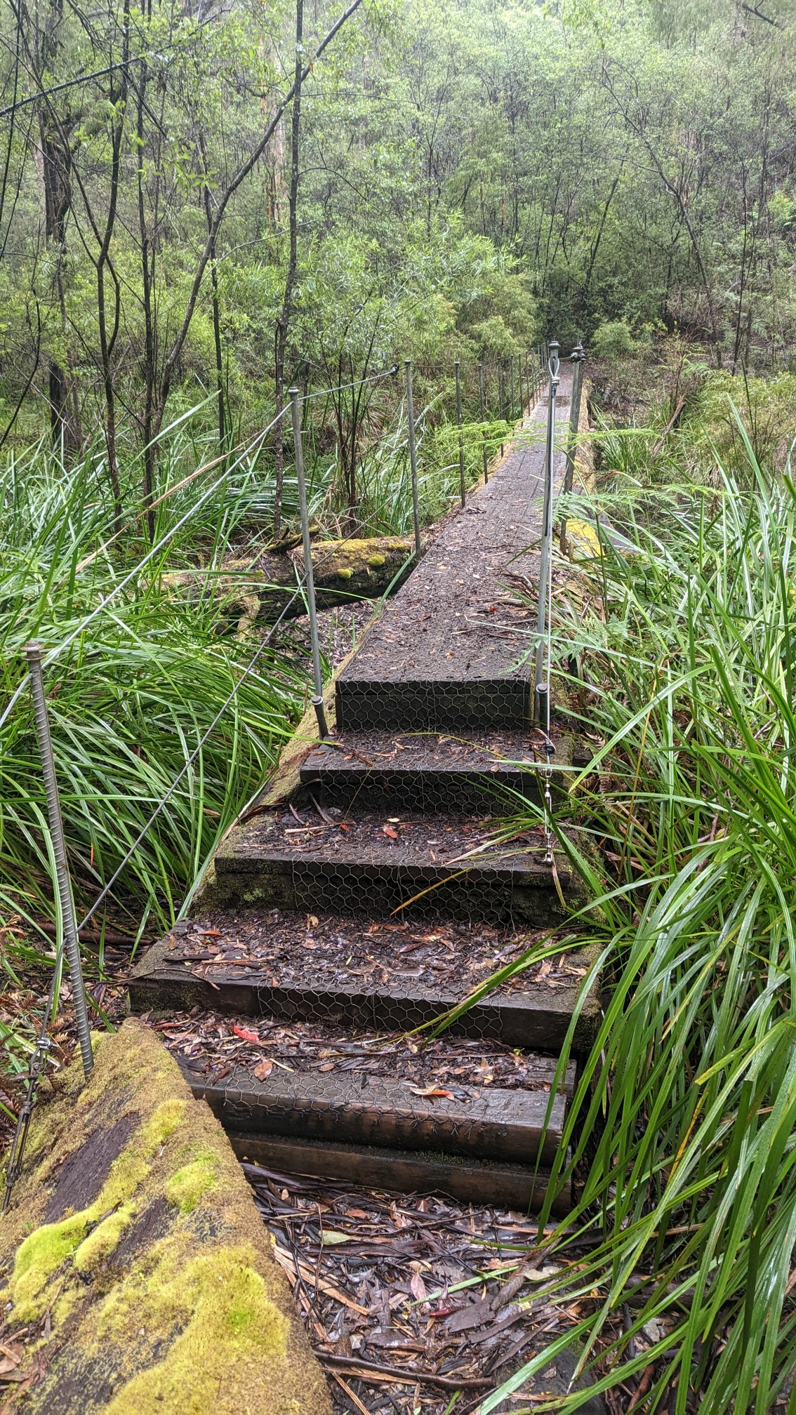
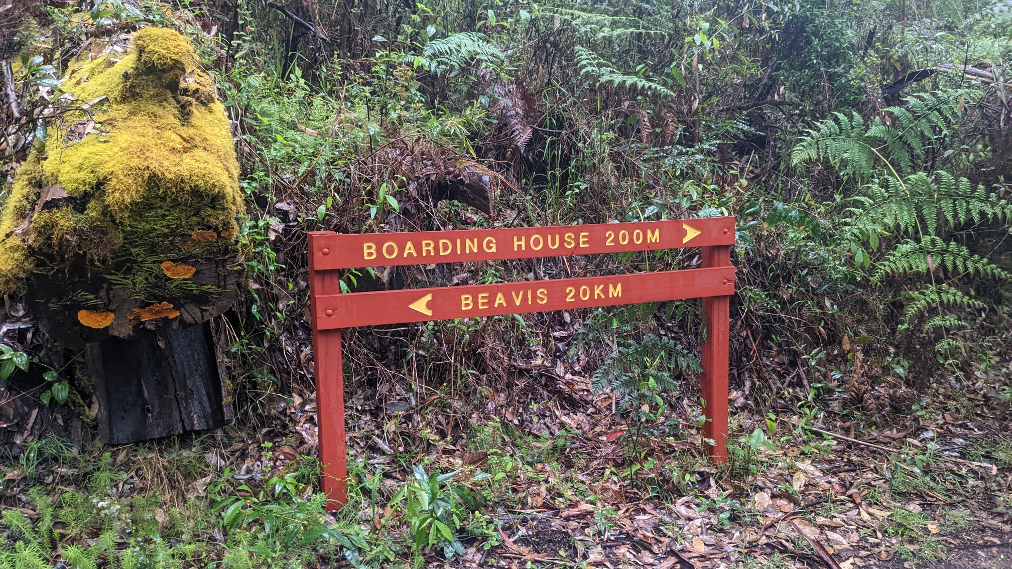
Tonight’s campsite shelter wasn’t directly on the trail so I had to hike an extra 300m.
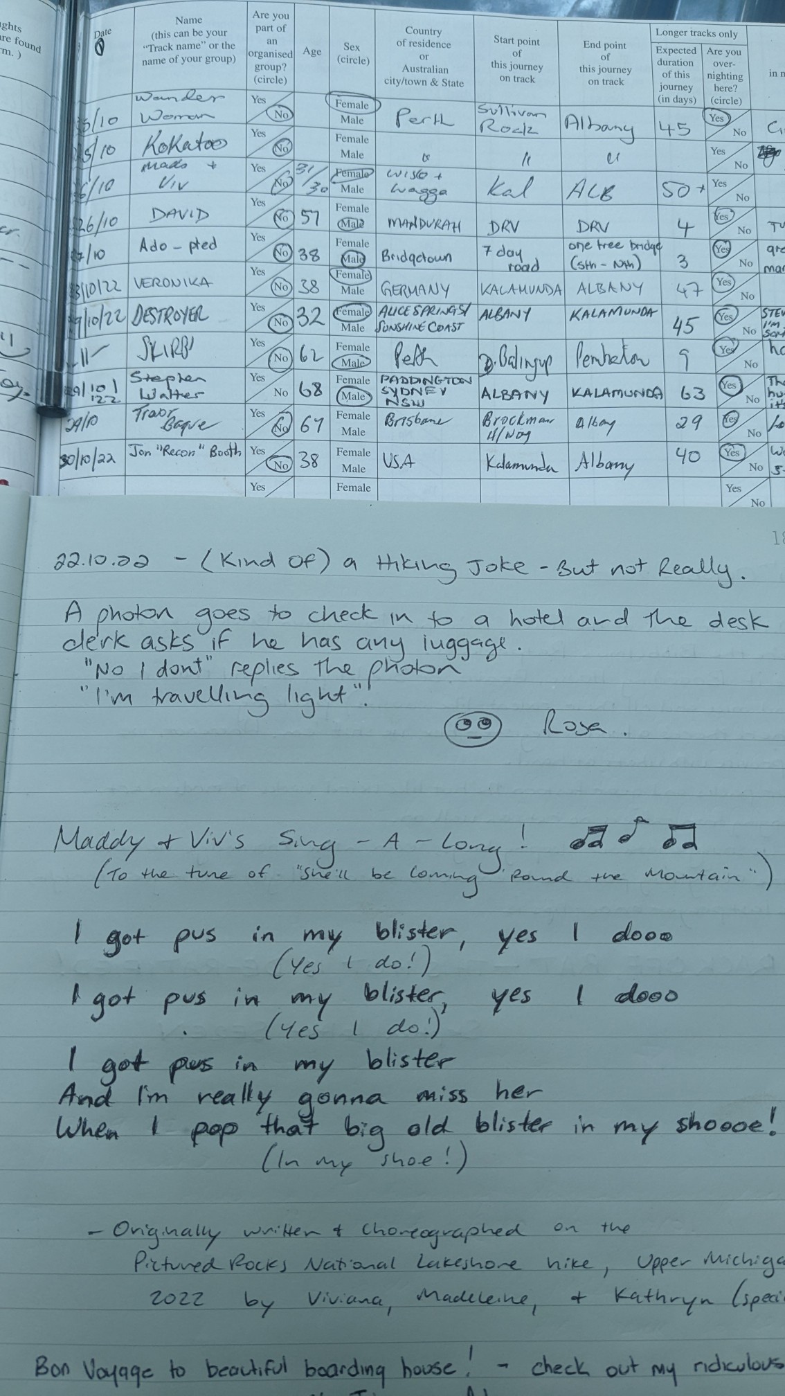
Just after 5pm I sat down and took off my pack, and signed into the trail register as usual. Some of the other hikers’ entries were especially entertaining, and reading this joke about photons made my day complete.
I started making dinner and then another rain storm came through, but I didn’t care as I was sipping hot tea under a dry roof. Hopefully tomorrow’s weather is drier!
Half-way point – wow!
Enjoy hearing about all your adventures
And great treasures along the way… like the Emu traffic. LoL!