Saturday December 3, 7.7km/4.8mi
Cockle Creek to Fortescue Bay (0.0/7m) to Bare Knoll Campground (7.7/263m) (TAS)
I packed up my tent and was standing in the parking lot by 8am, hoping to hitch a ride. In one hour, I saw only 1 car, and they were arriving not departing. I began to directly approach people I saw walking around, asking for a ride. A few said they would give me a ride if I was still there in the afternoon, when they returned from their hike. So I started walking down the dirt road, hoping to catch more traffic. After I had passed a couple of campgrounds, I saw a few more vehicles and one of them stopped to give me a ride. Sweet! I rode with them for an hour to the town of Geeveston, about halfway to Hobart. From Geeveston I could catch a bus to Hobart for $7, so while I waited for the bus I occupied myself by doing their short “platypus walk”.
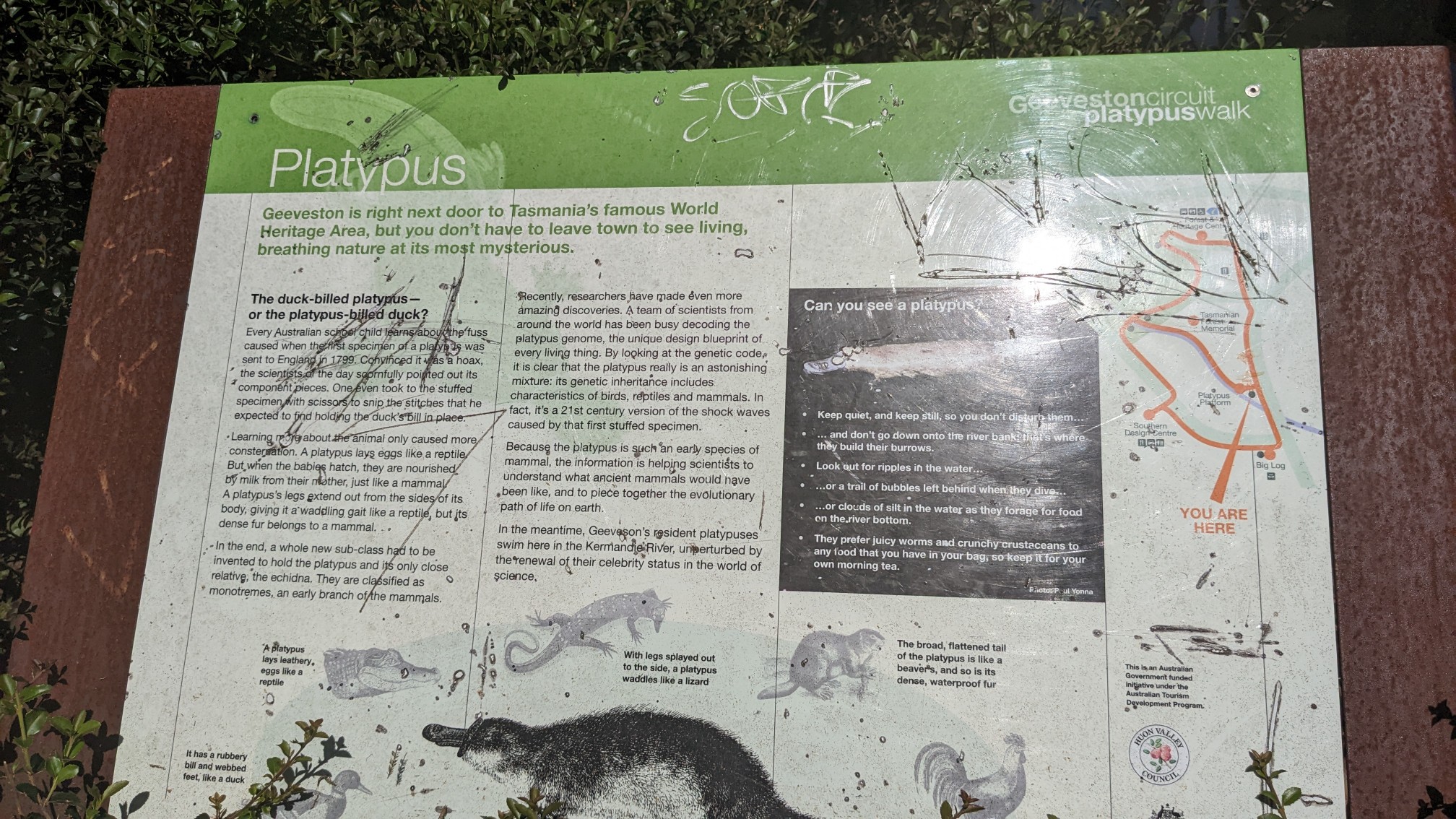
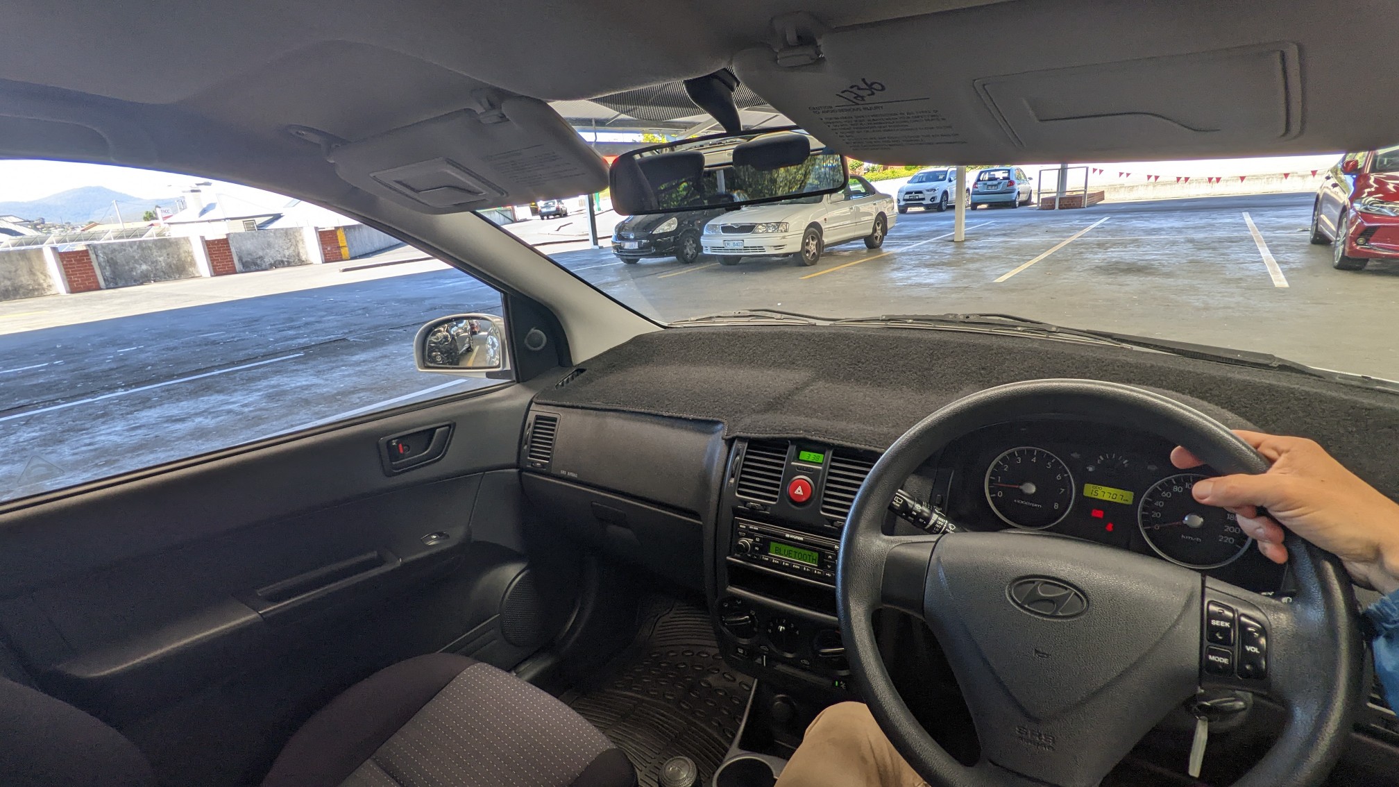
I didn’t see any platypus (platypii?), but I did find a bakery with a really good cinnamon bun, and that’s pretty close. The bus took an hour and I made it into Hobart at 2pm, and I walked directly to a car rental place I had researched beforehand. Most of their cars were already reserved, but there were a few manuals available. The manager was rather apologetic that was a Hyundai, since they reverse the controls for the turn signals and wipers. But I got a good price, and I’ll have a really clean windshield every time I want to make a turn. Ha!
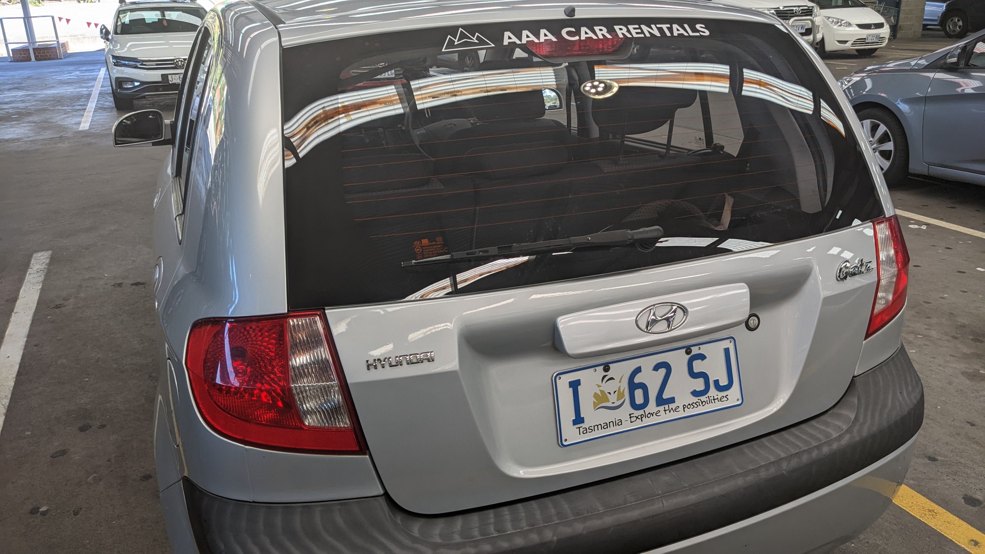
Driving on the other side of the car didn’t seem that awkward, and shifting with my left hand was fine. But that turn signal required some thought!
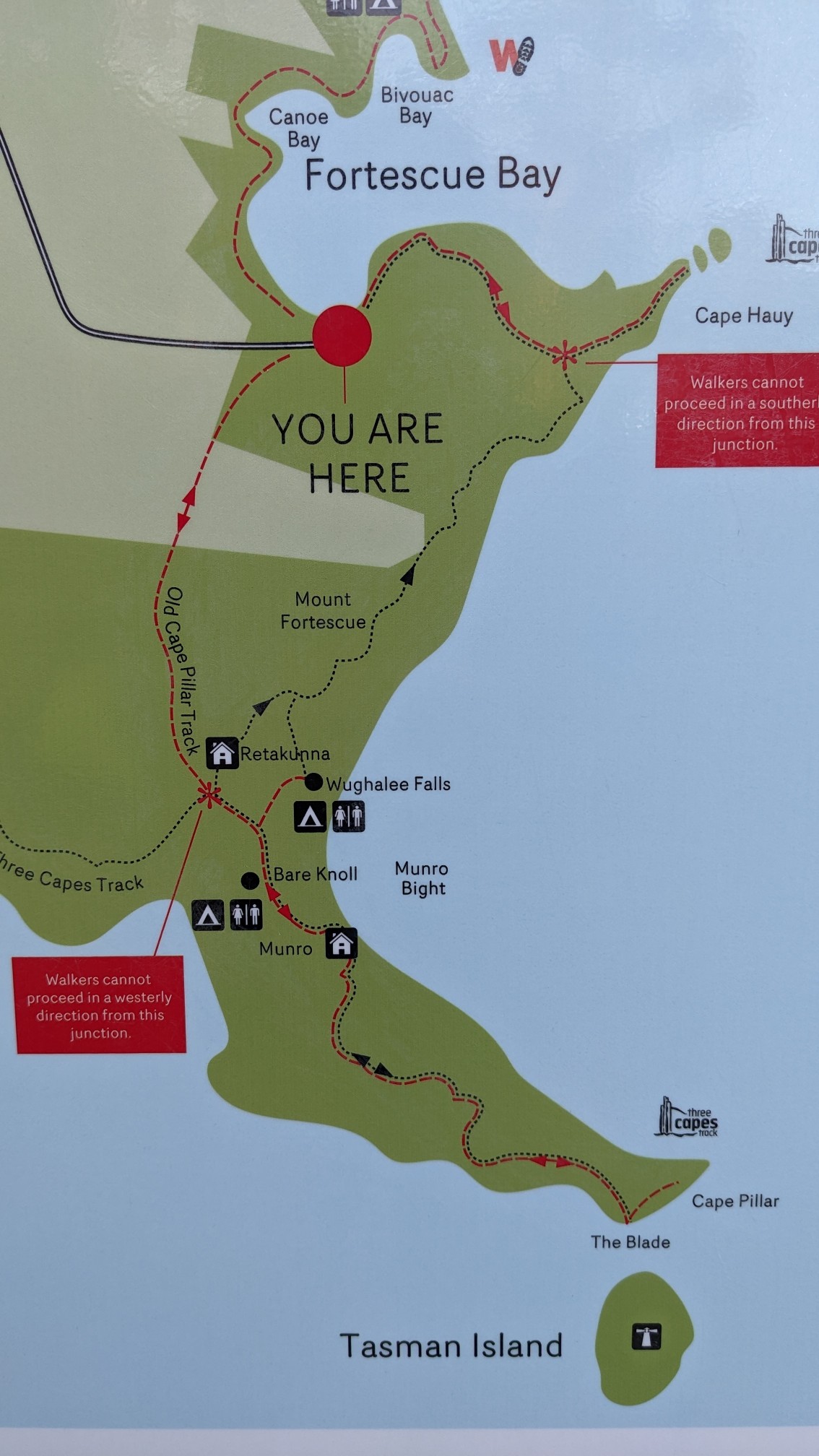
I picked up a few groceries, and then drove the 1.5 hours to Fortescue Bay. The map at the trailhead showed a good overview of my hike. It’s pretty short, basically 41km/25mi and 1.5 days.
I signed the trail register, and noticed that a couple people had started this hike yesterday, so I might run into them on the track.
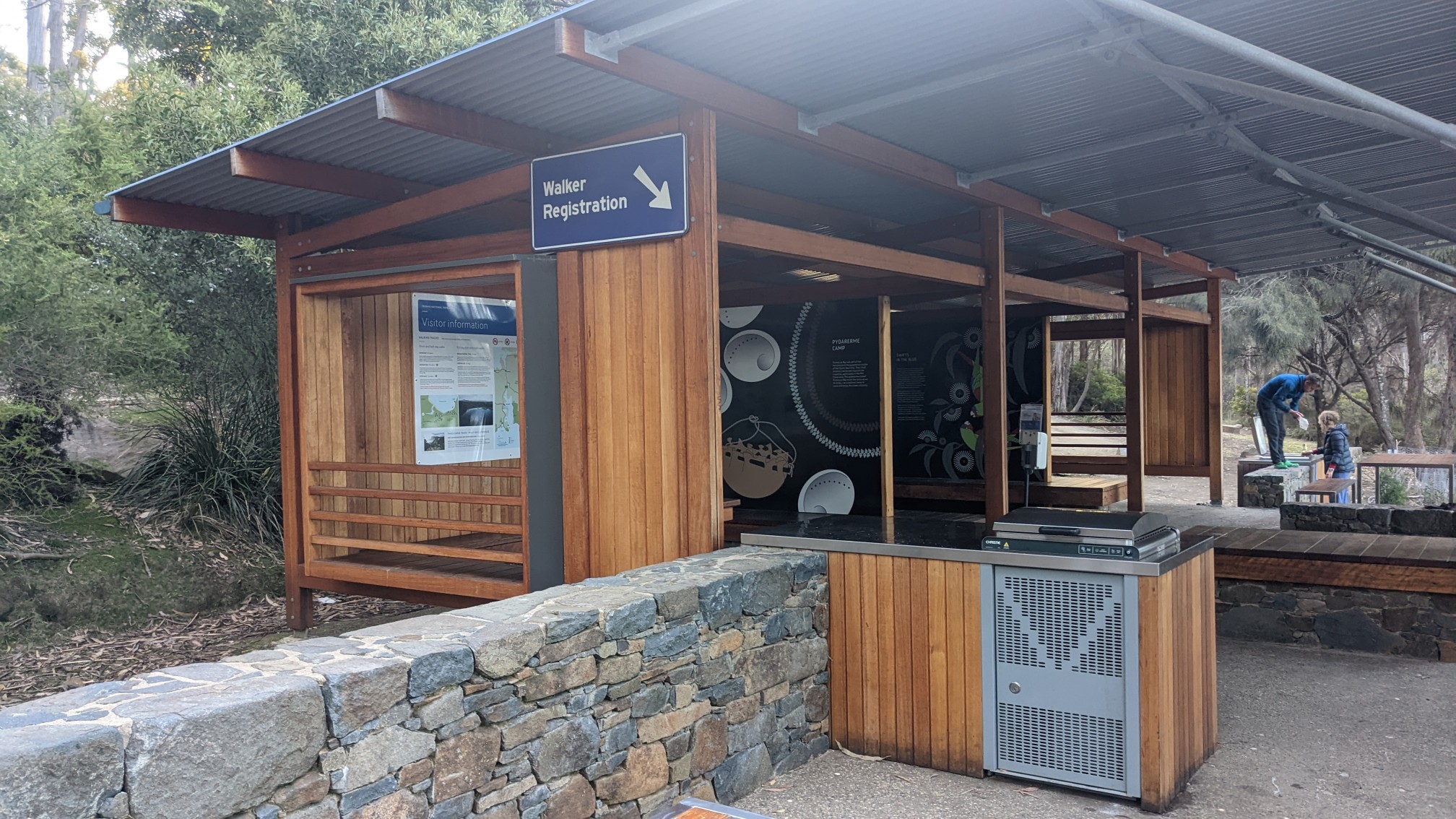
I started hiking kinda late at 7pm, but it was only 7.7km to Bare Knoll campsite.
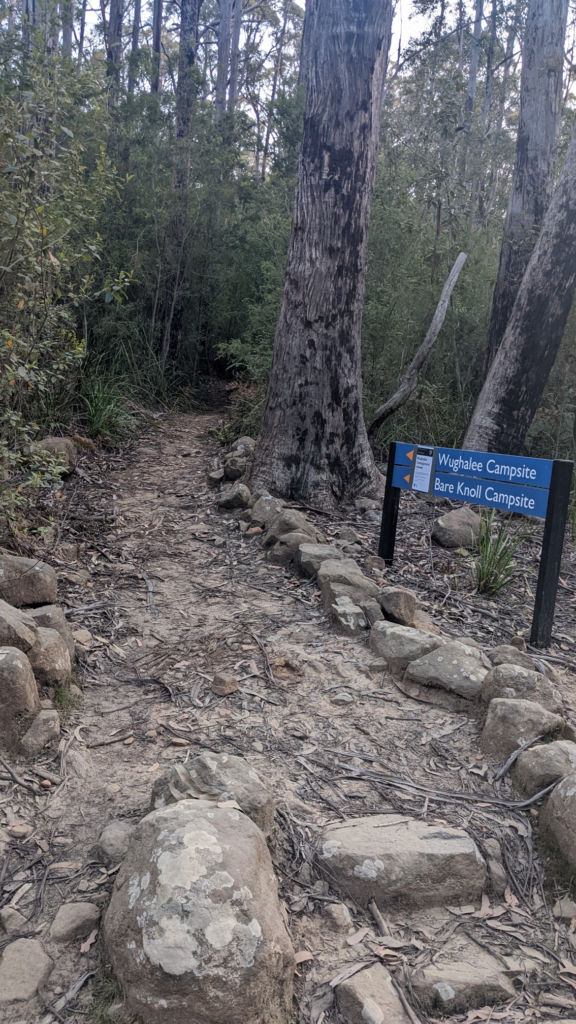
The trail was pretty nondescript, and the distance went by quickly.
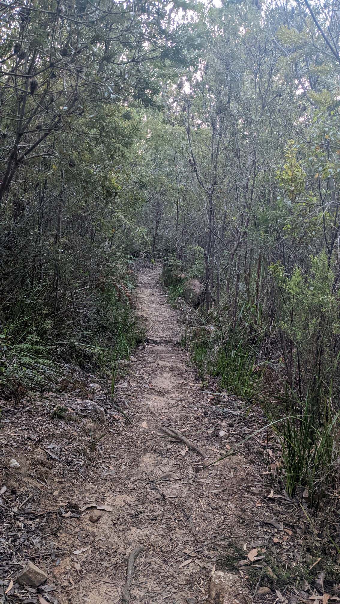
This first part of the trail was a standard wilderness track, with some roots and rocks. Tomorrow’s section of the trail will be much nicer, as it was purpose-built to handle 50 hikers per day, who pay $500AUD to have a 3-night glamping trip with fancy huts and perfectly manicured trail.
The occasional boardwalk over the potentially wet areas was a nice feature.
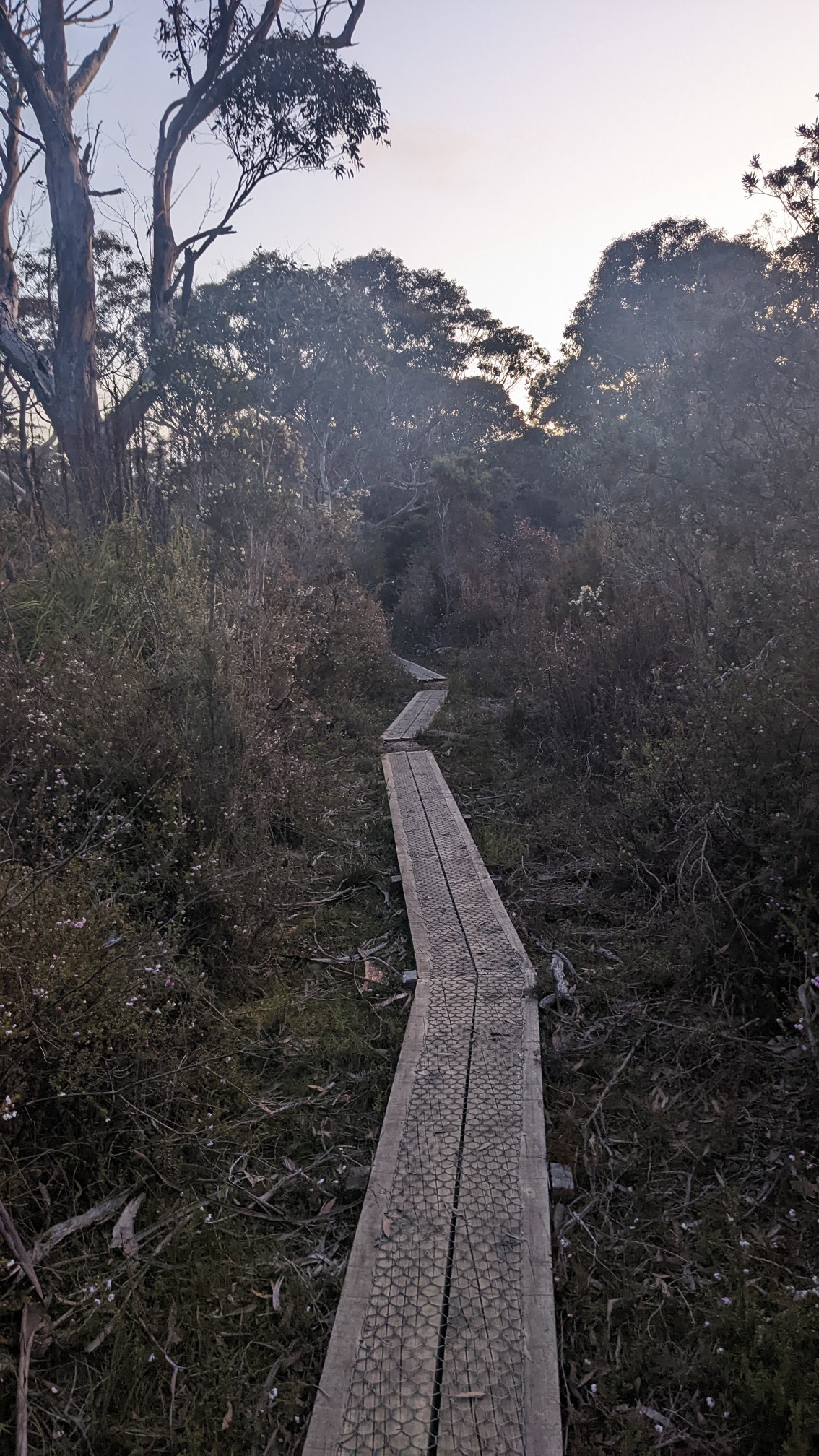
At 8:30pm, I came to the turn off for my campsite. It was only 100 meters down the side trail.
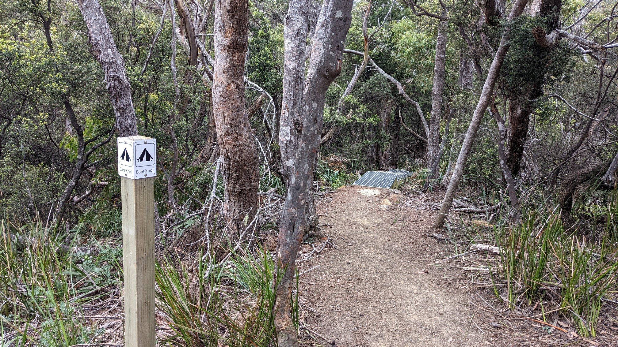
The forest here is very rocky and uneven, so they build tent platforms to make camping possible.
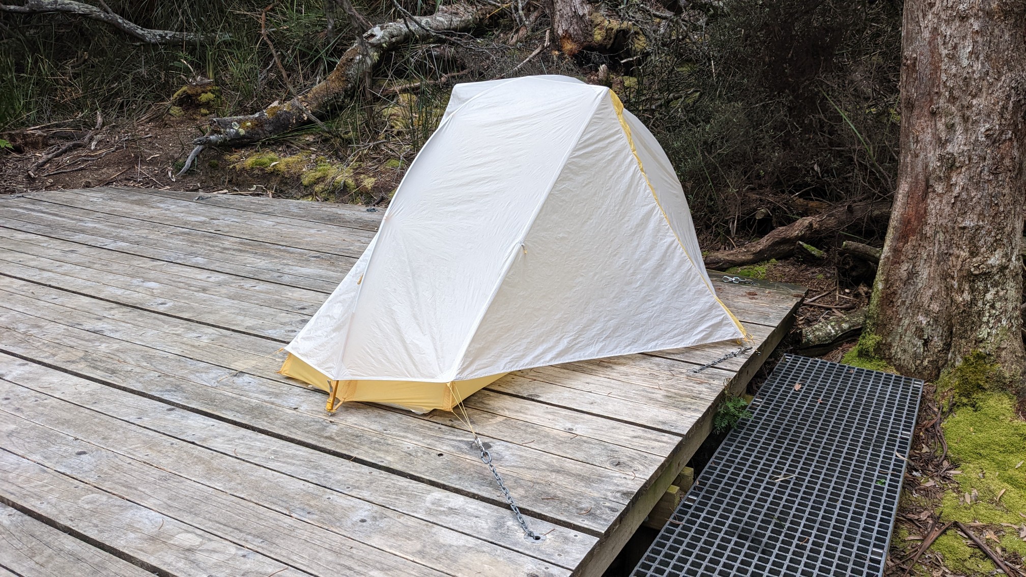
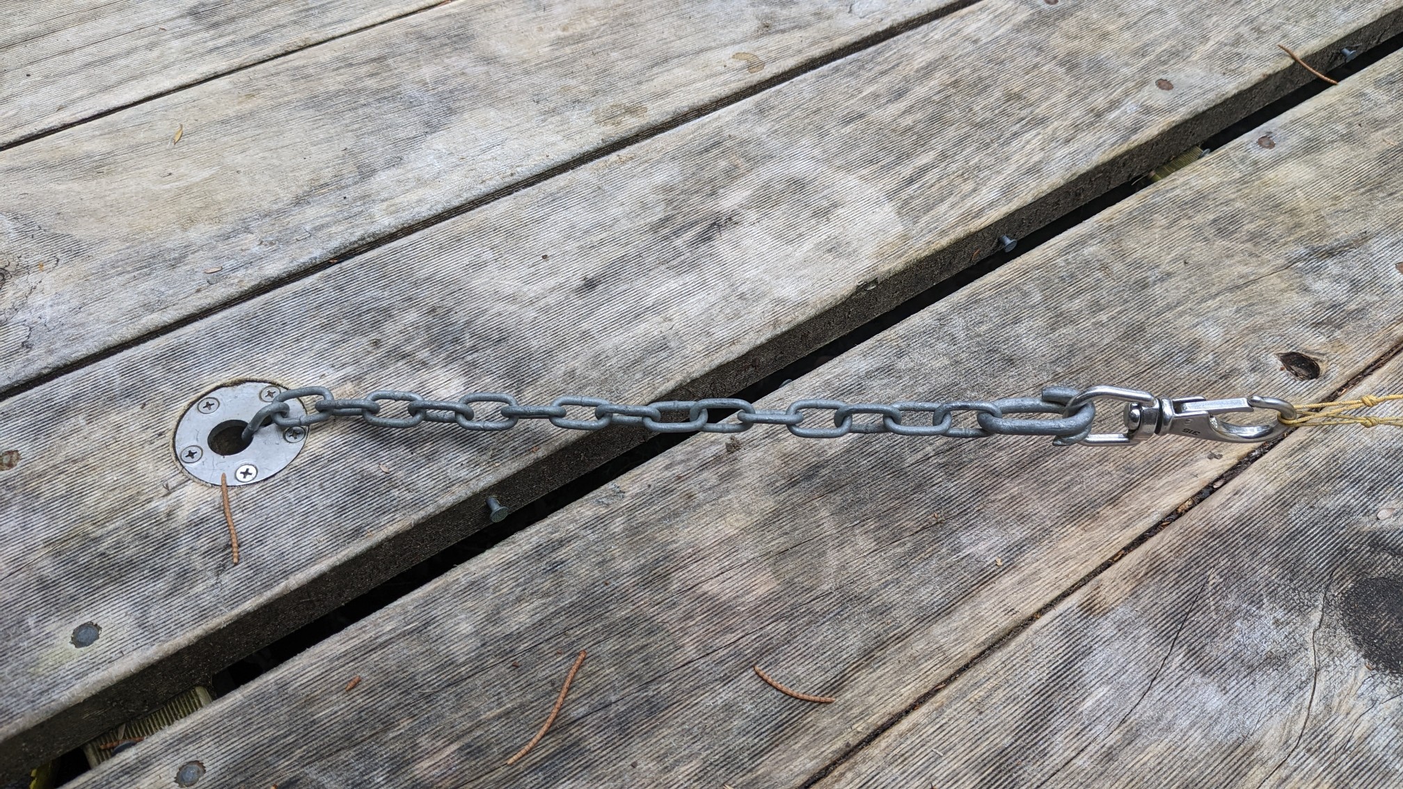
Many people do not have free-standing tents (meaning they need to be staked in to be setup), and their solution to that problem was quite innovative. There are chains spaced at regular intervals across the wooden platforms, and the chains are adjustable length, so you just clip them to the corners of your tent.
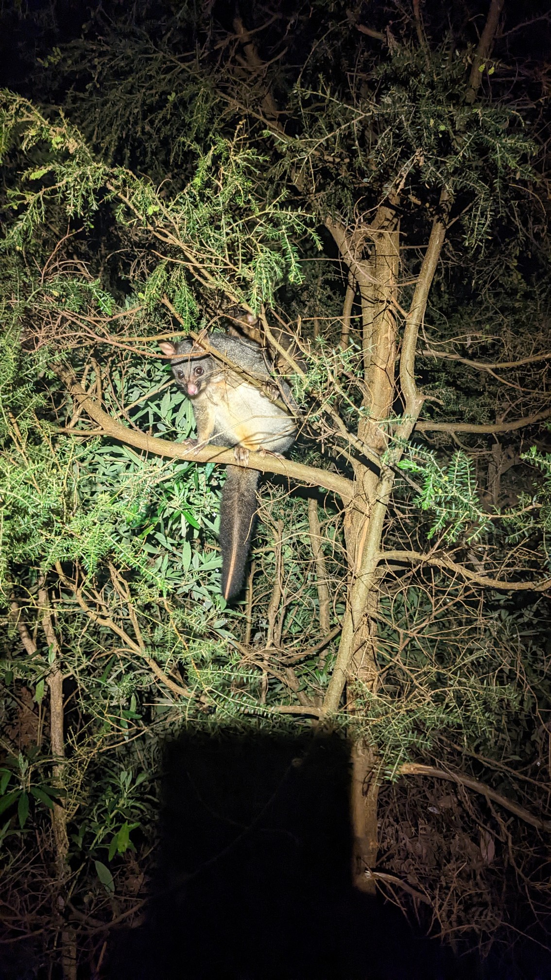
A little while after sunset (8:45pm), I heard a noise in the tree above me and my headlamp showed it was a brushtail possum!
It was a long day of hitchhiking, bus riding, food resupplying, driving, and then finally hiking for 1.5 hours. But tomorrow will be worth it!
Tomorrow I will hike to Cape Pillar (on an out-and-back trail), pack up my camp, and then hike to Cape Hauy (refer to map above).