Saturday December 10, 21.7km/13.5mi
Lake Dobson Carpark (0.0/1030m) to Twilight Tarn Campsite (21.7/990m) (TAS)
I left the campground at 7:30am and stopped by the visitor center to use the wifi, as I had some tasks to complete to return to work next month. After that, I drove the 30 minutes to the Lake Dobson trailhead, where there was only one other car in the parking lot. I chatted with them briefly, they are hiking Mt Field West too.
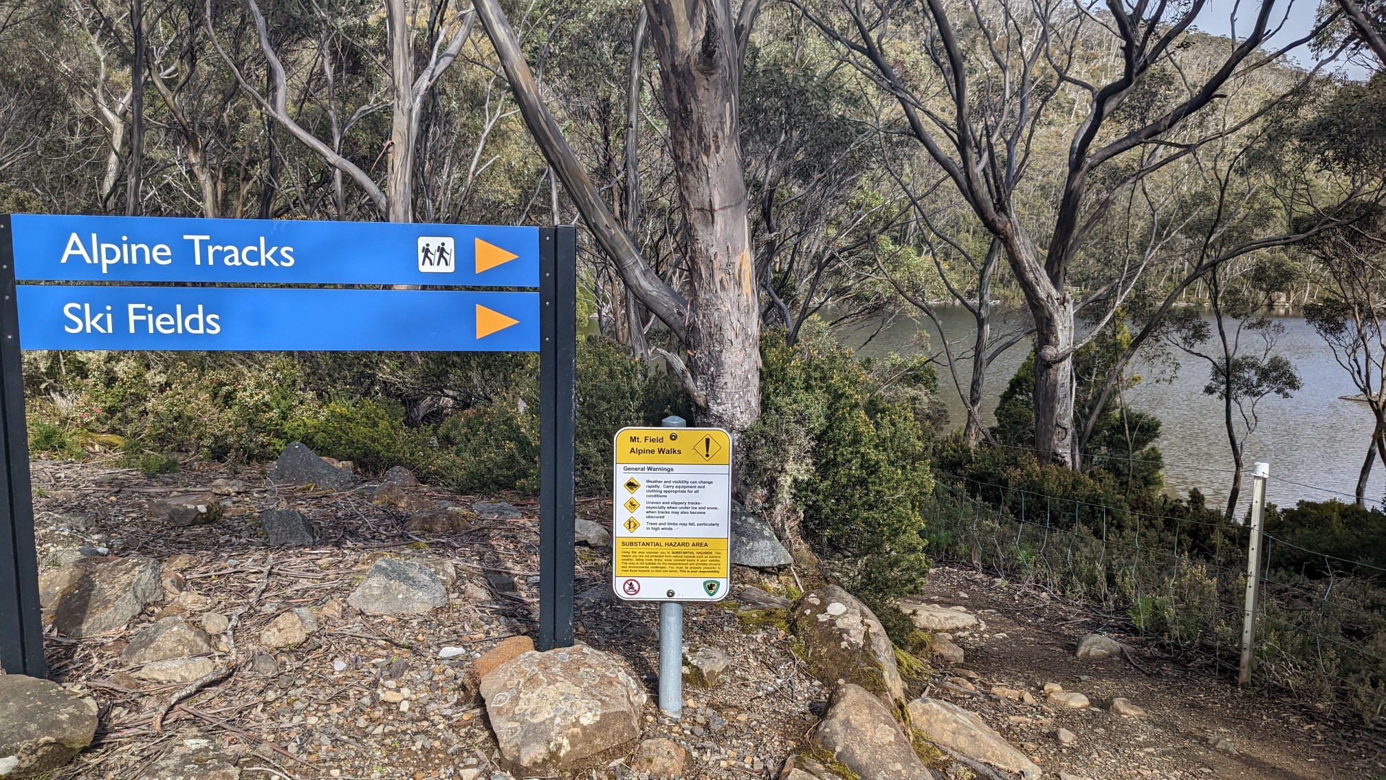
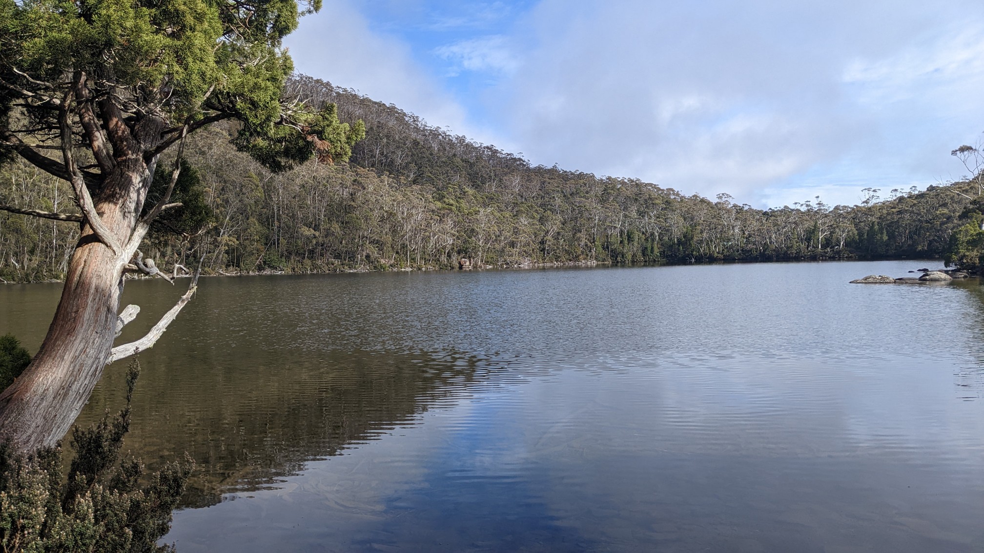
This is a popular area, and deservedly so, there were so many views of lakes!
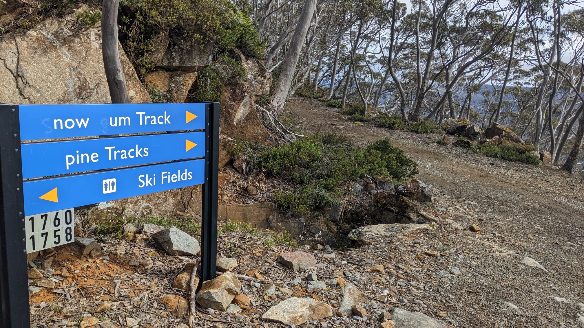
Pranksters like to mess with park signs, it seems.
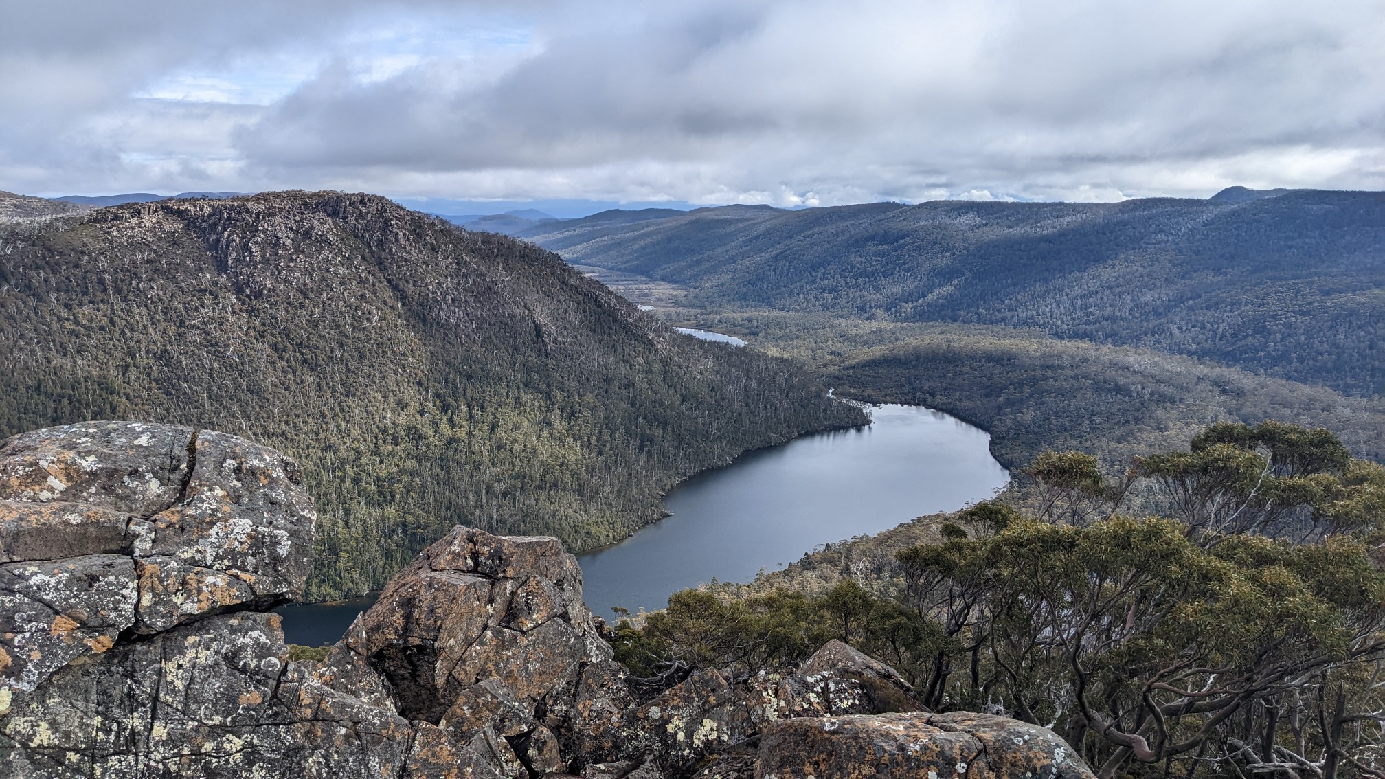
I climbed up for 30 minutes, and there was a lookout with views north over Seal Lake.
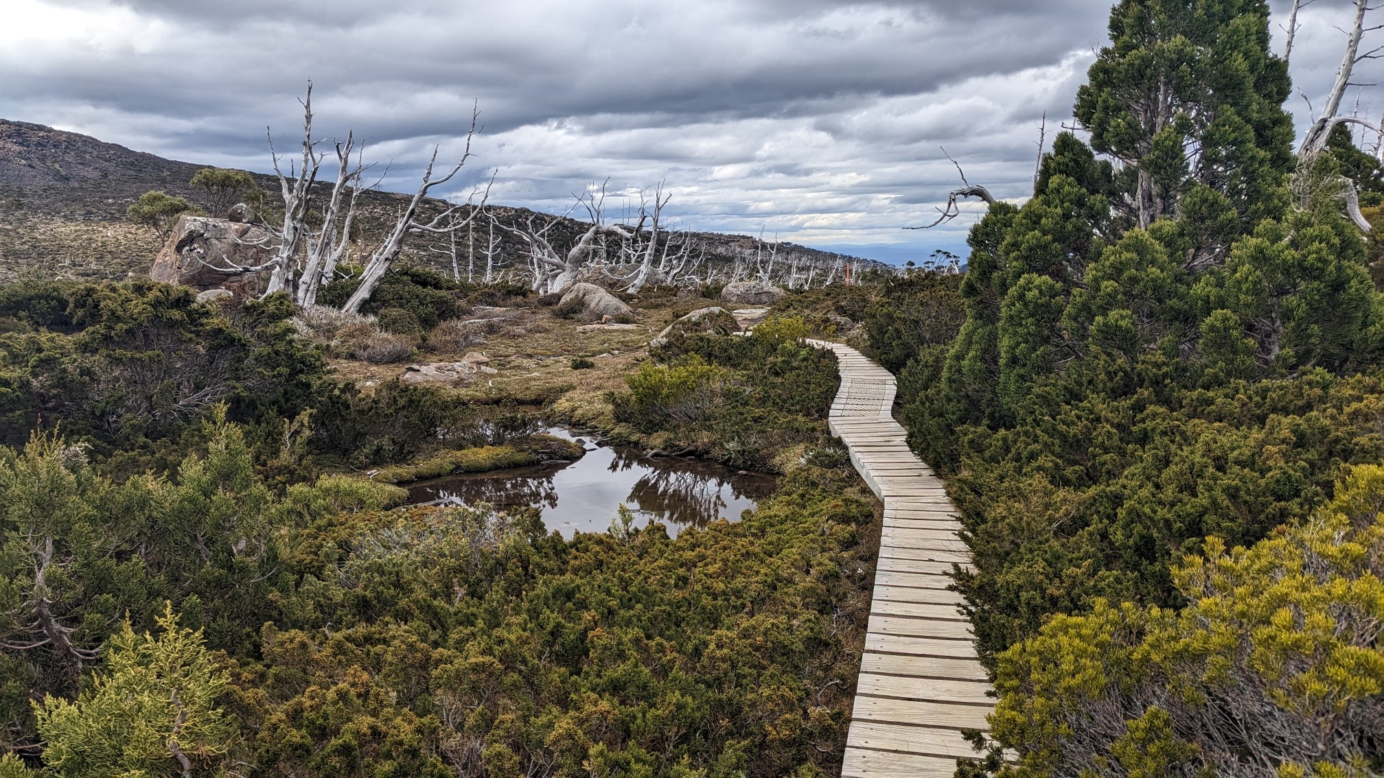
These alpine areas are often marshy, so I appreciated the extensive boardwalks to keep my feet dry and protect the plants.
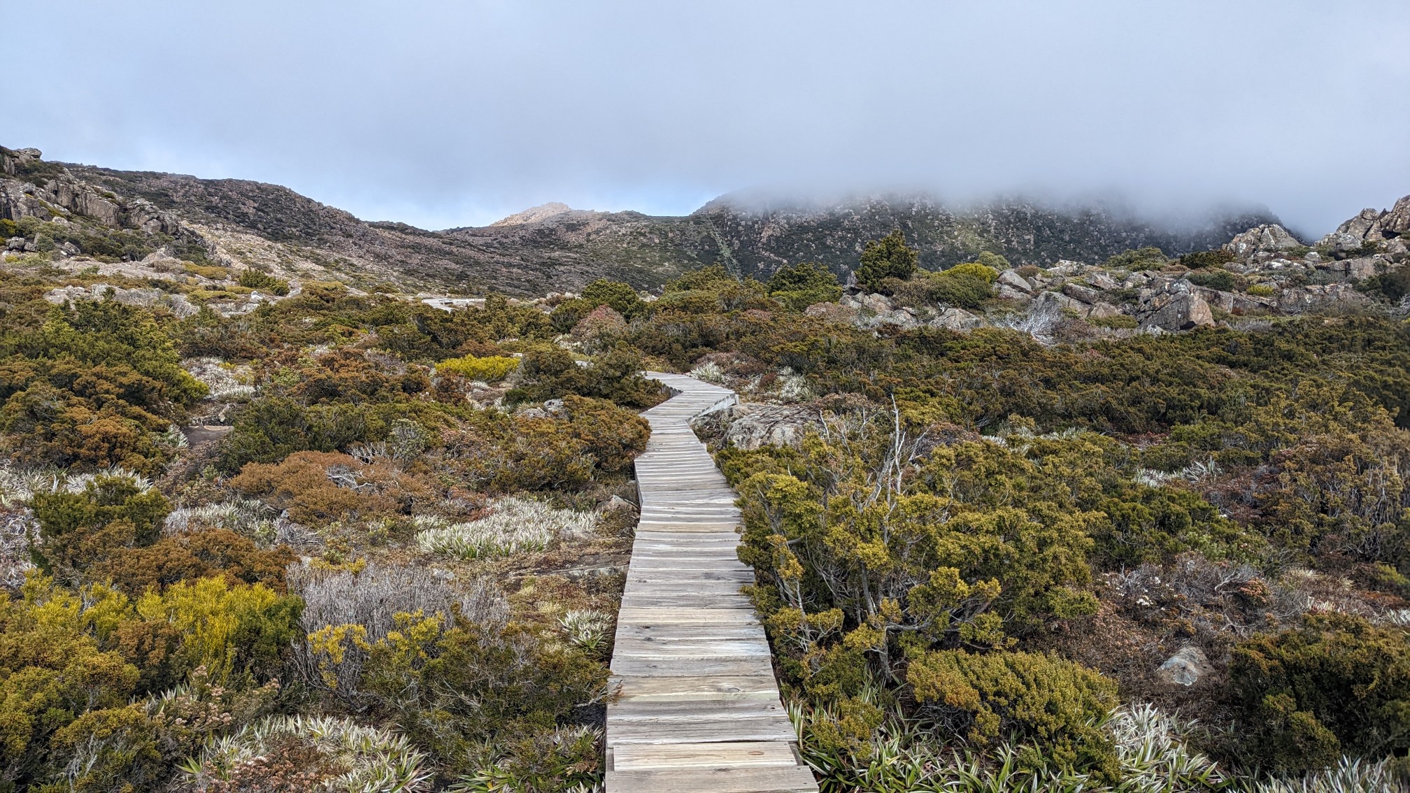
Even the trail junctions were boardwalks, ha!
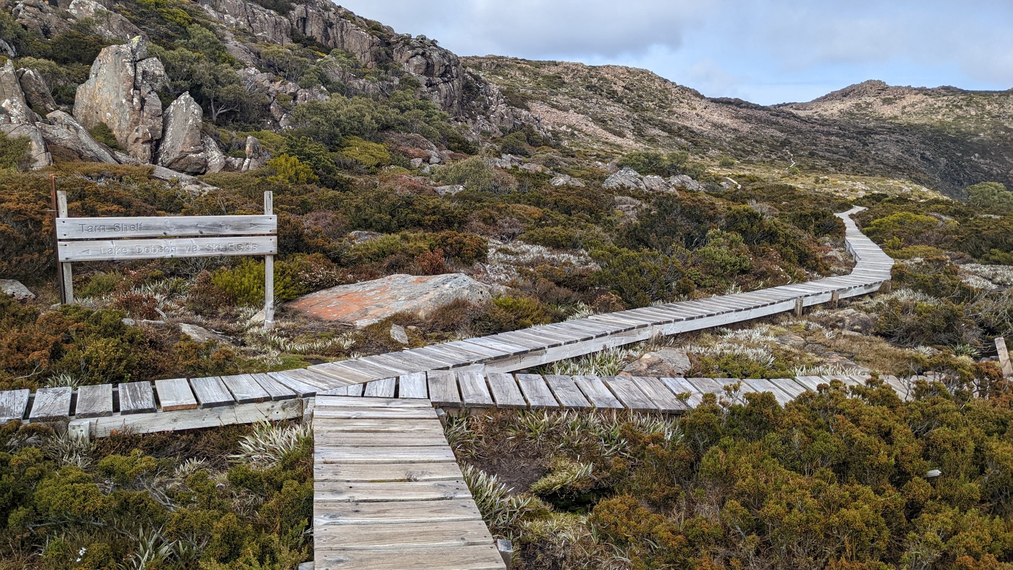
The hike I am doing combines the Tarn Shelf Loop with an out&back to Mt. Field West. Once I departed the loop and started towards Mt Field, the trail because noticably more rugged and rocky.
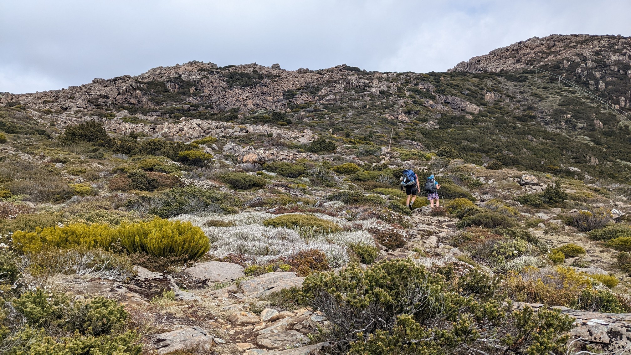
There was a little bit of talus -hopping.
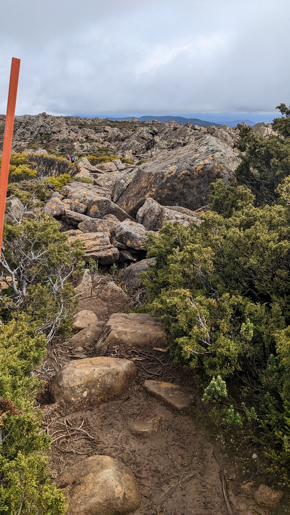
And then maximum talus-hopping, with cairns and orange poles to mark the way.
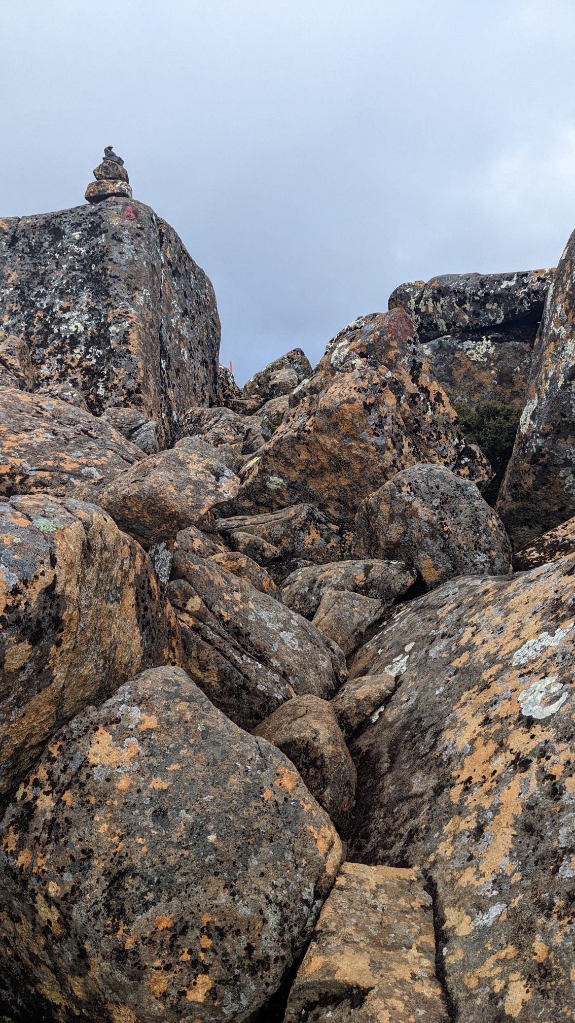
When I came over the ridge, I could see that the clouds were lifting, but were still shrouding the summits a tiny bit. Mt Naturalist was hiding.
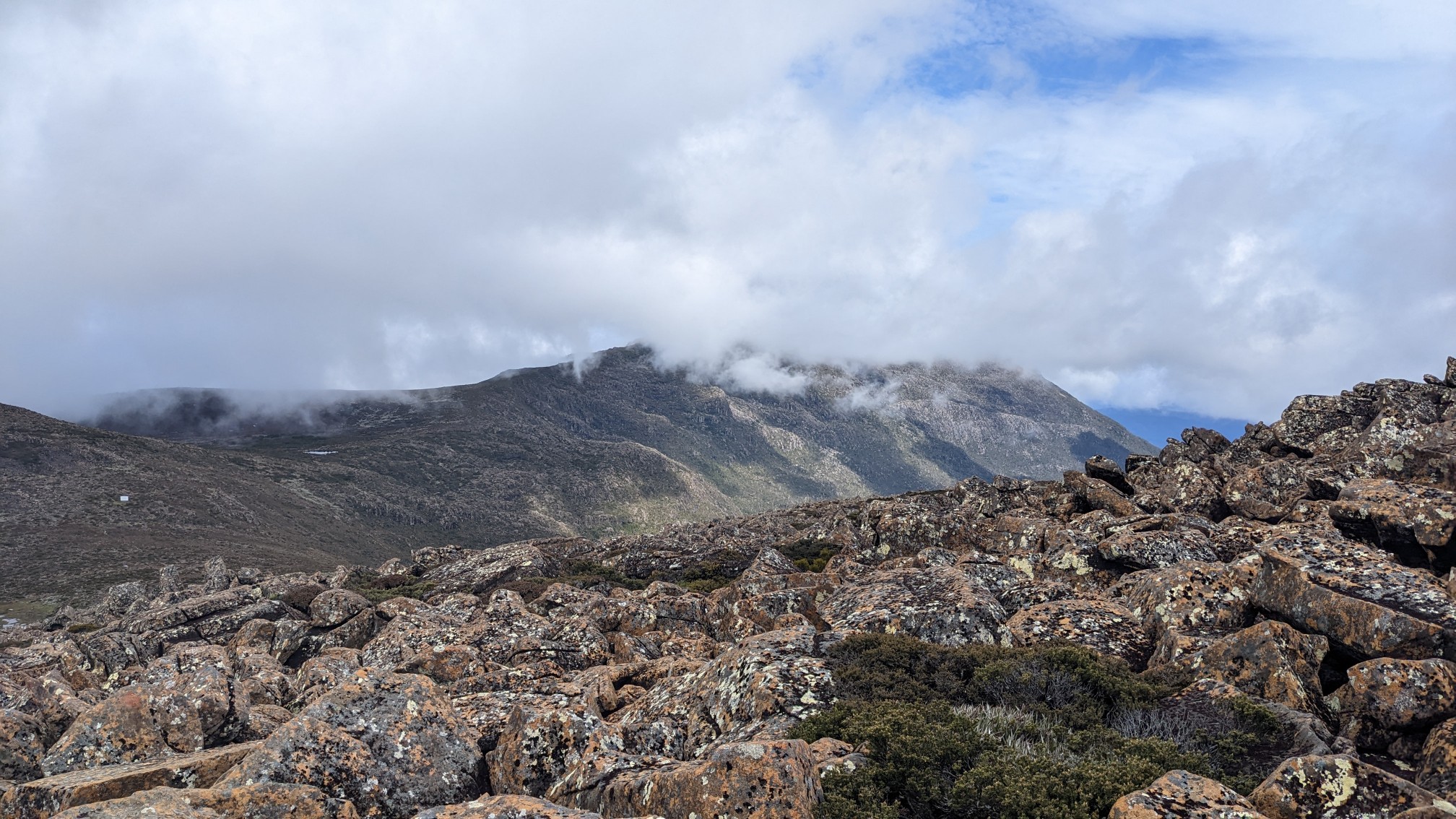
The rest of the ridge had this unique mixture of clouds and sunny spots.
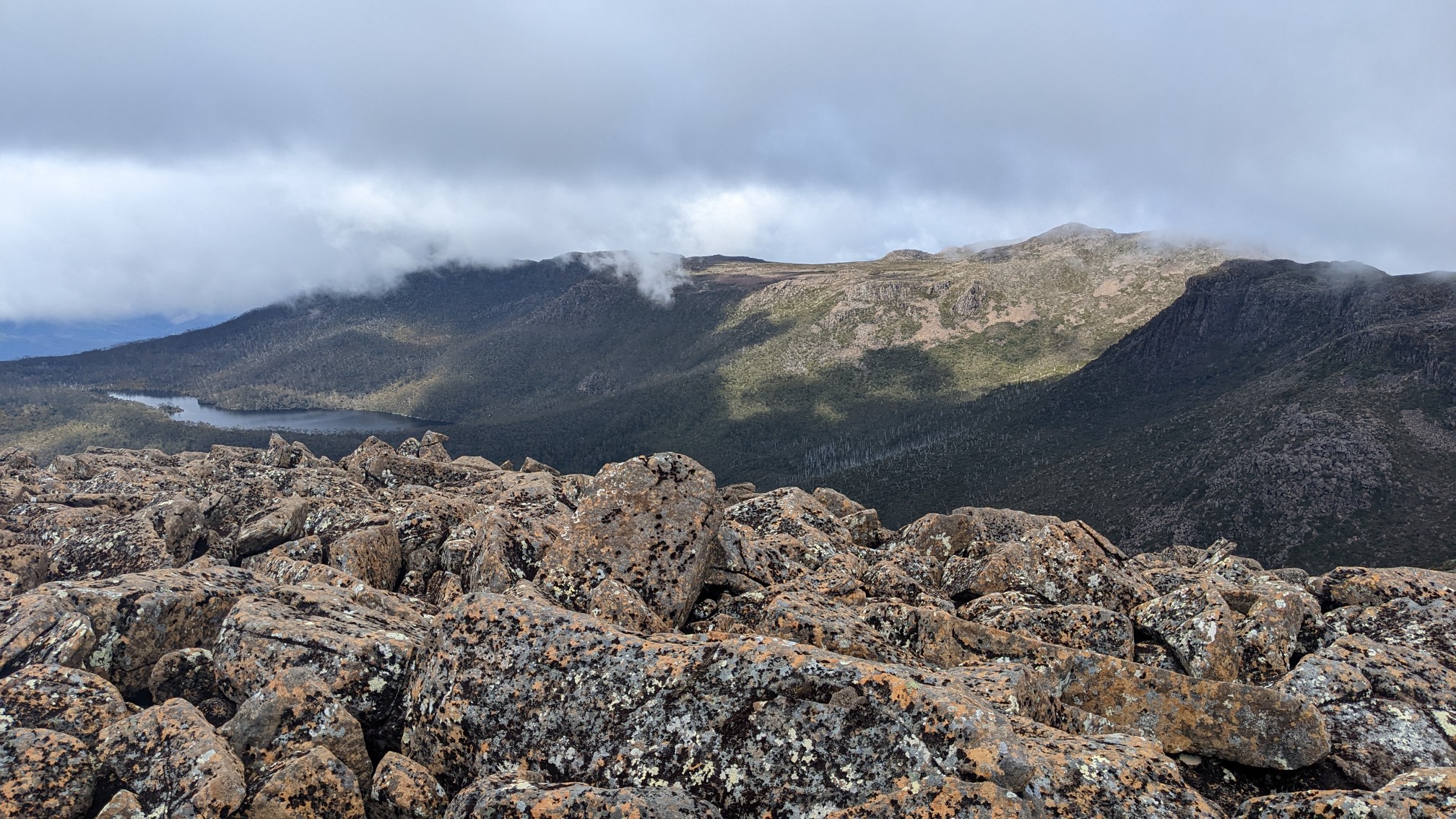
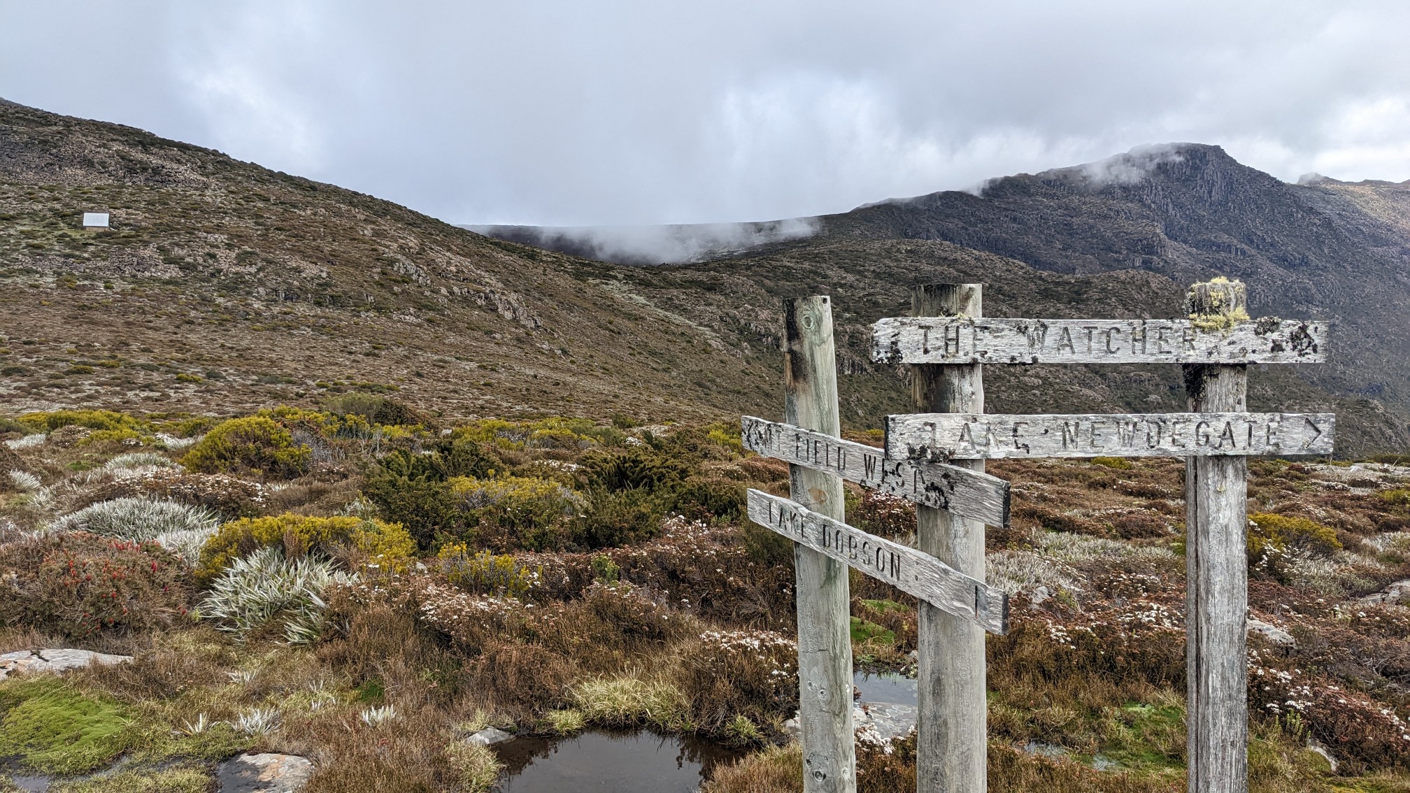
As I descended into the col, I could see the Peterson memorial hut up ahead, past the lush green meadows.
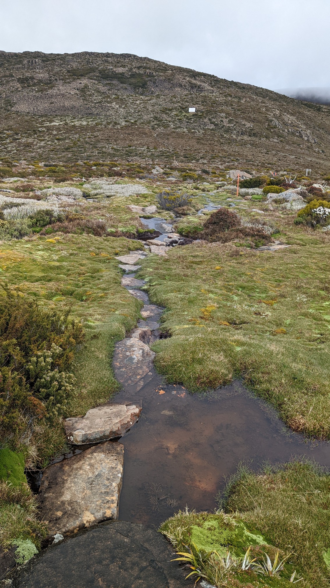
A trail junction to “The Watcher”, sounds creepy.
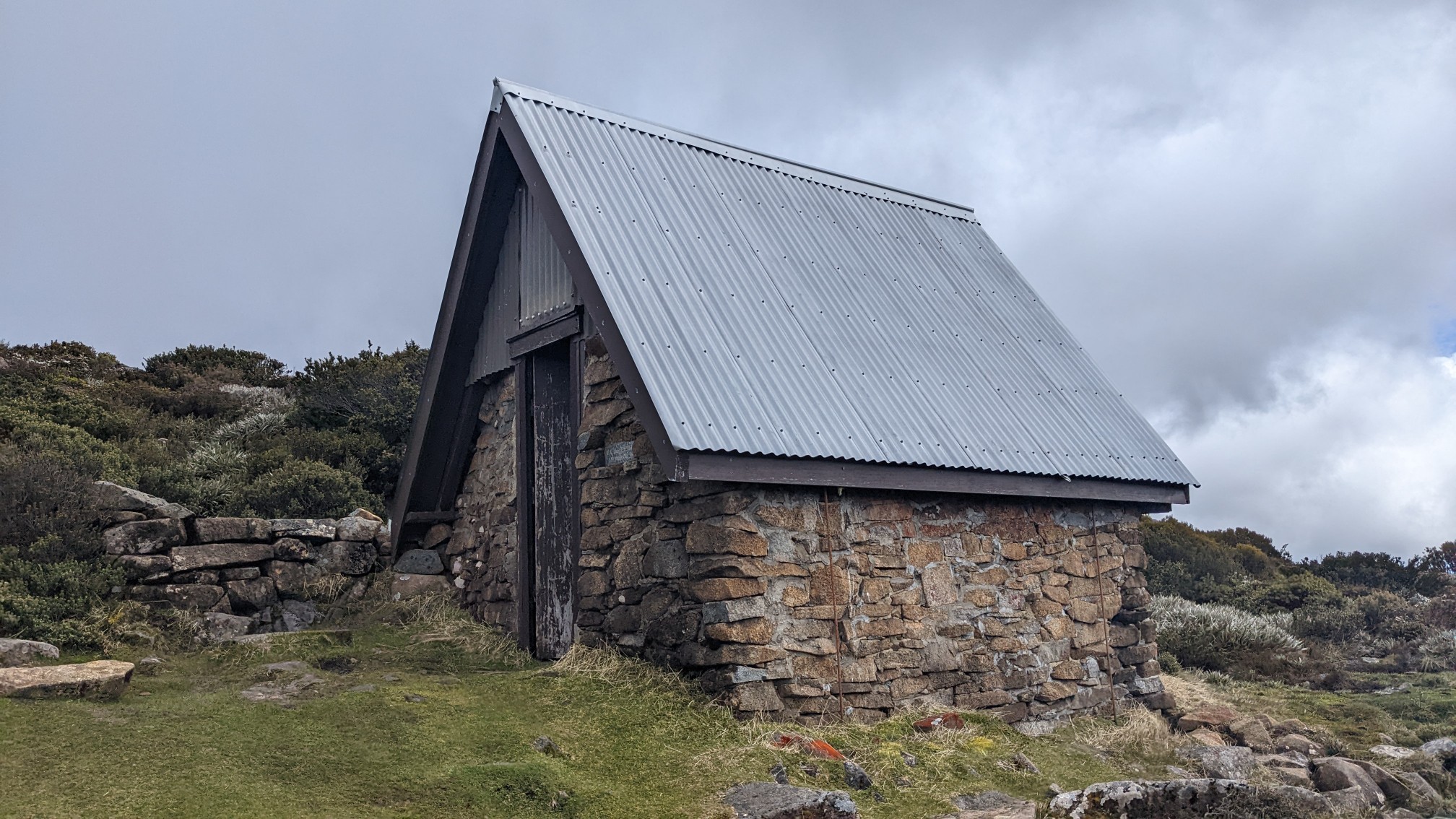
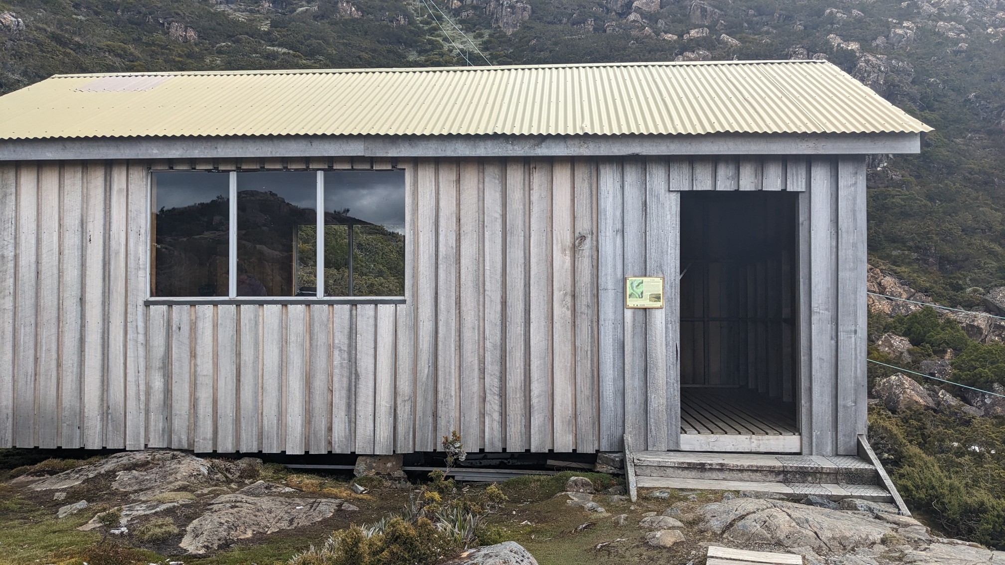
It’s an old A-frame hut, designated as emergency shelter only, no camping inside.
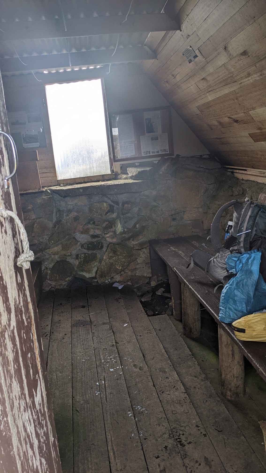
I took a snack break inside and signed the trail register book.
I looked at the map, and saw that it had taken me an hour to go only 3km from the trail junction, because of all the talus. It was another hour to the summit, so I finished eating and hiked on.
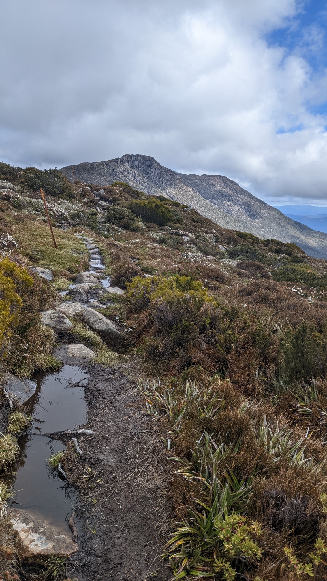
Some of the tiny ponds were very still, and kinda looked like infinity pools.
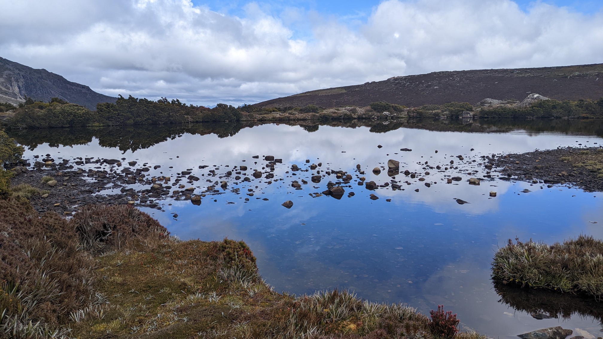
Mt Naturalist is the first summit on the ridge, and Mt Field West is behind it.
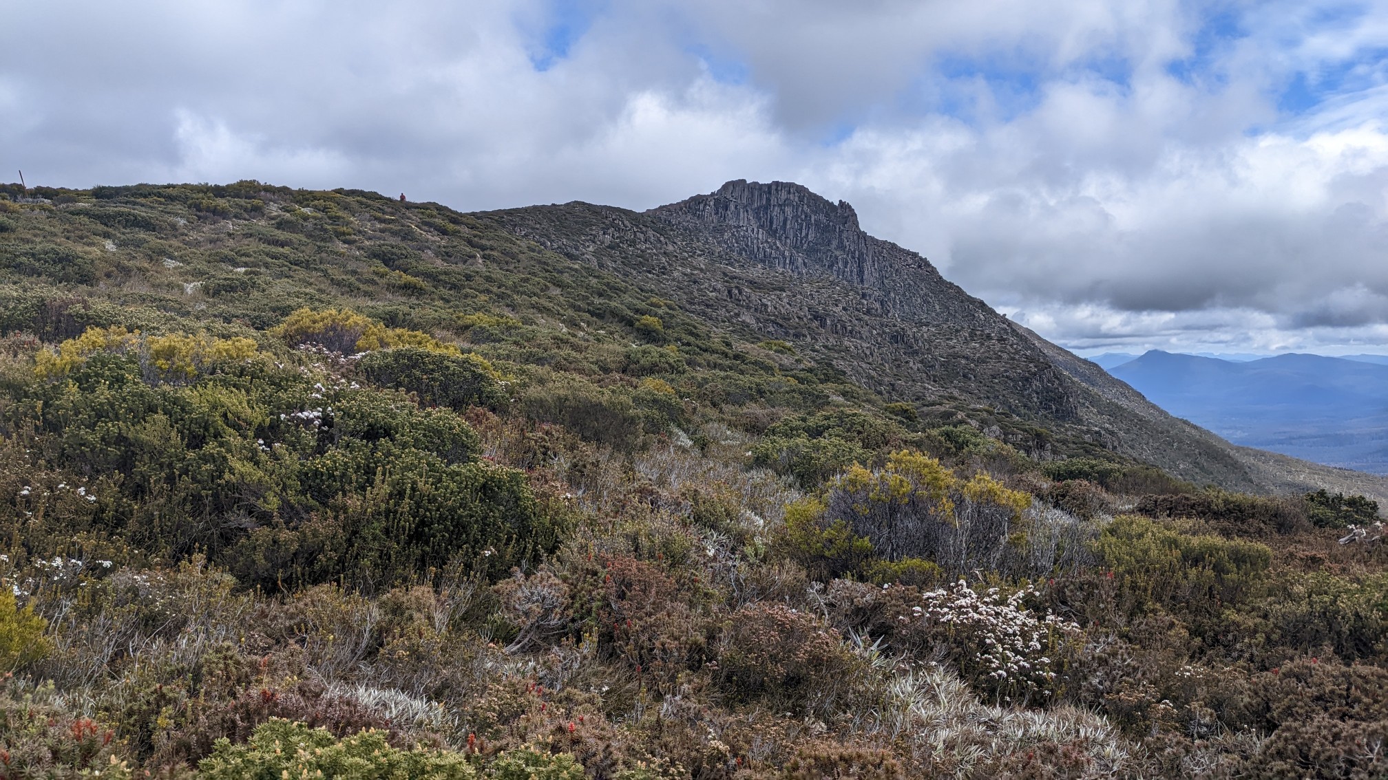
There was very little elevation gain on the ridge, it was mostly just rock-hopping and wet marshy walking.
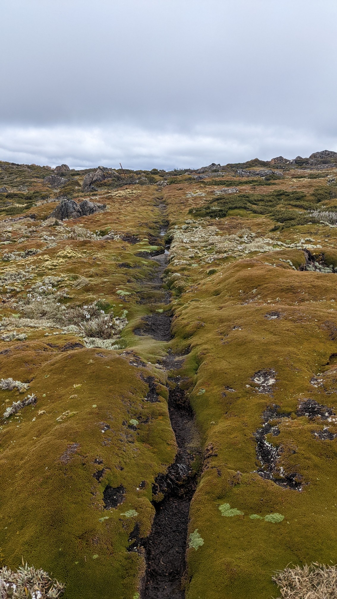
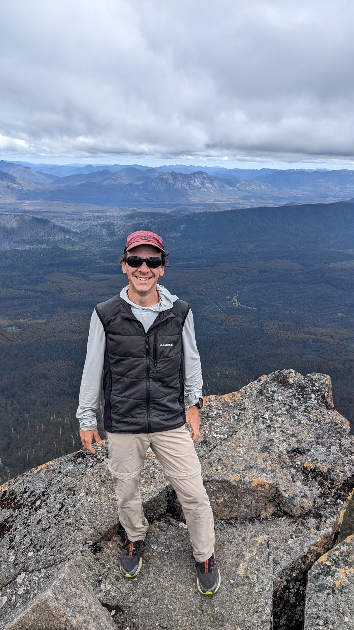
Mt. Field West is 1440m/4725ft high, the highest peak in the National Park. Views in all directions!
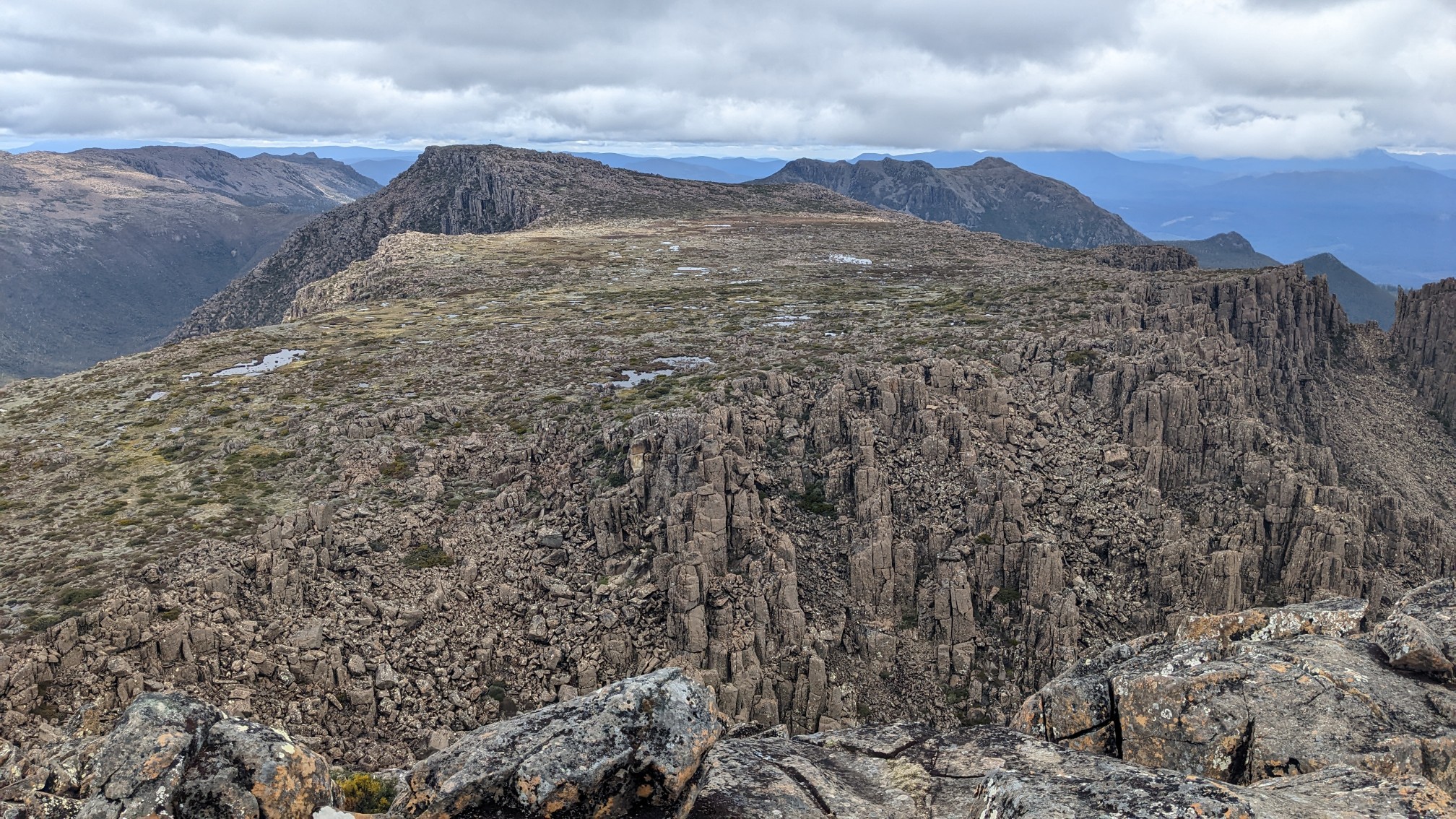
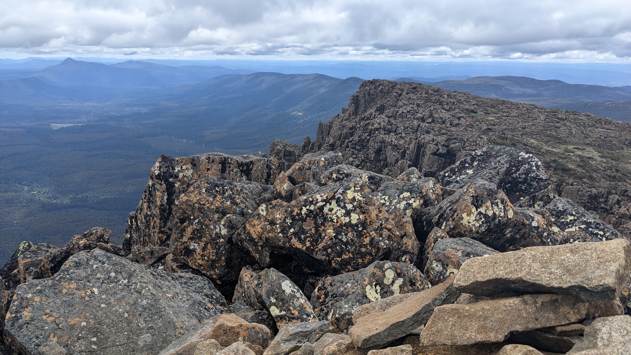
Another group was at the summit the same time as me, and we swapped photos. They were doing “the Abels”, a peakbagging list with all the summits in Tasmania higher than 1100m, I think it’s like 155 mountains.
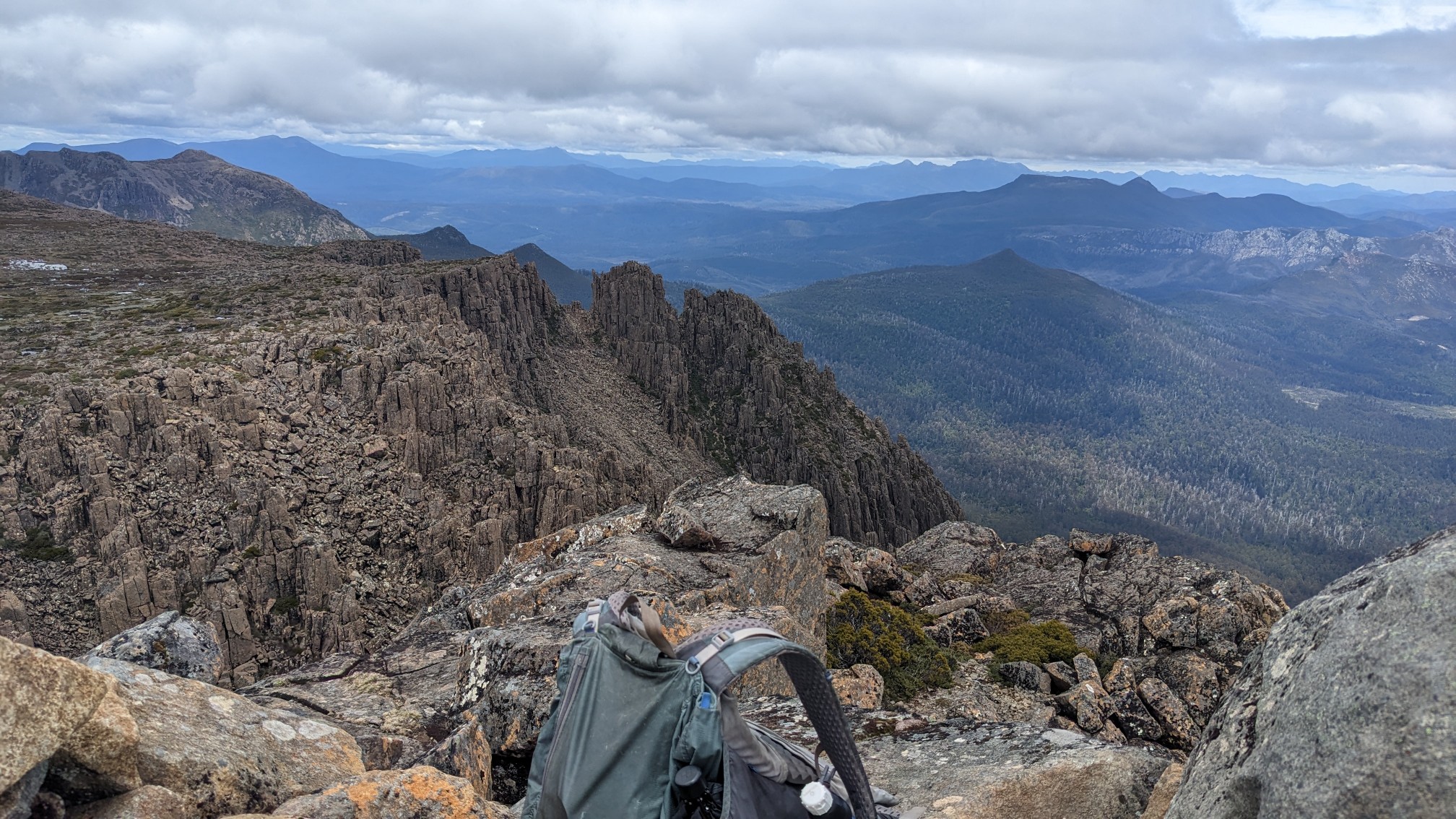
View to the south:
As I hiked back to the hut for lunch, I noticed that several groups had setup their tents *right next to* this beautiful little alpine tarn.
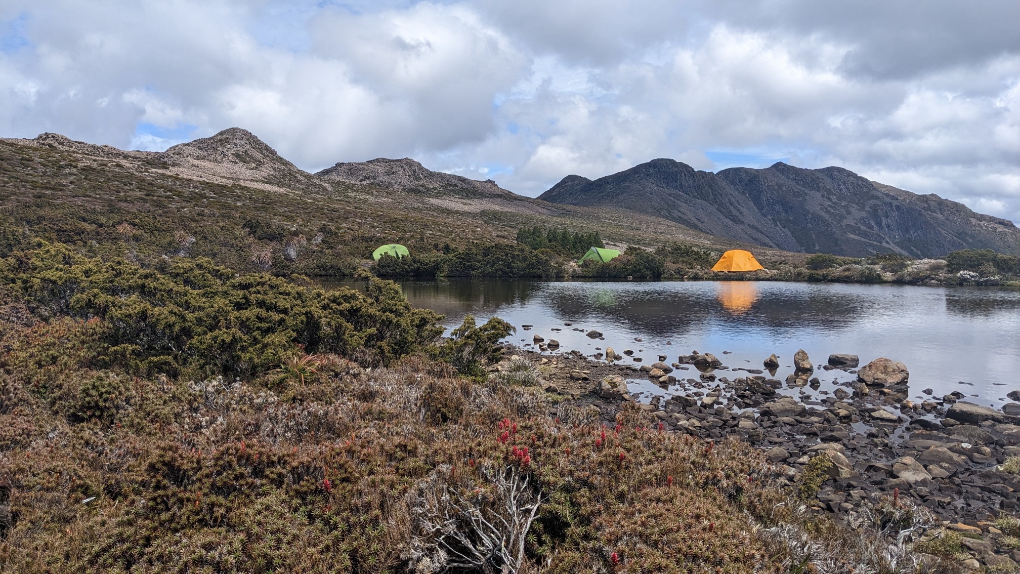
This is why we can’t have nice things. Apparently that is allowed here, but obviously it’s terrible for that environment. Back at the hut, I caught up to the couple from the summit and had lunch together. The rest of the hike back to the main Tarn Shelf Loop was uneventful. Back at the trail junction, Lake Seal and Platypus Tarn were now more clearly visible without the low clouds.
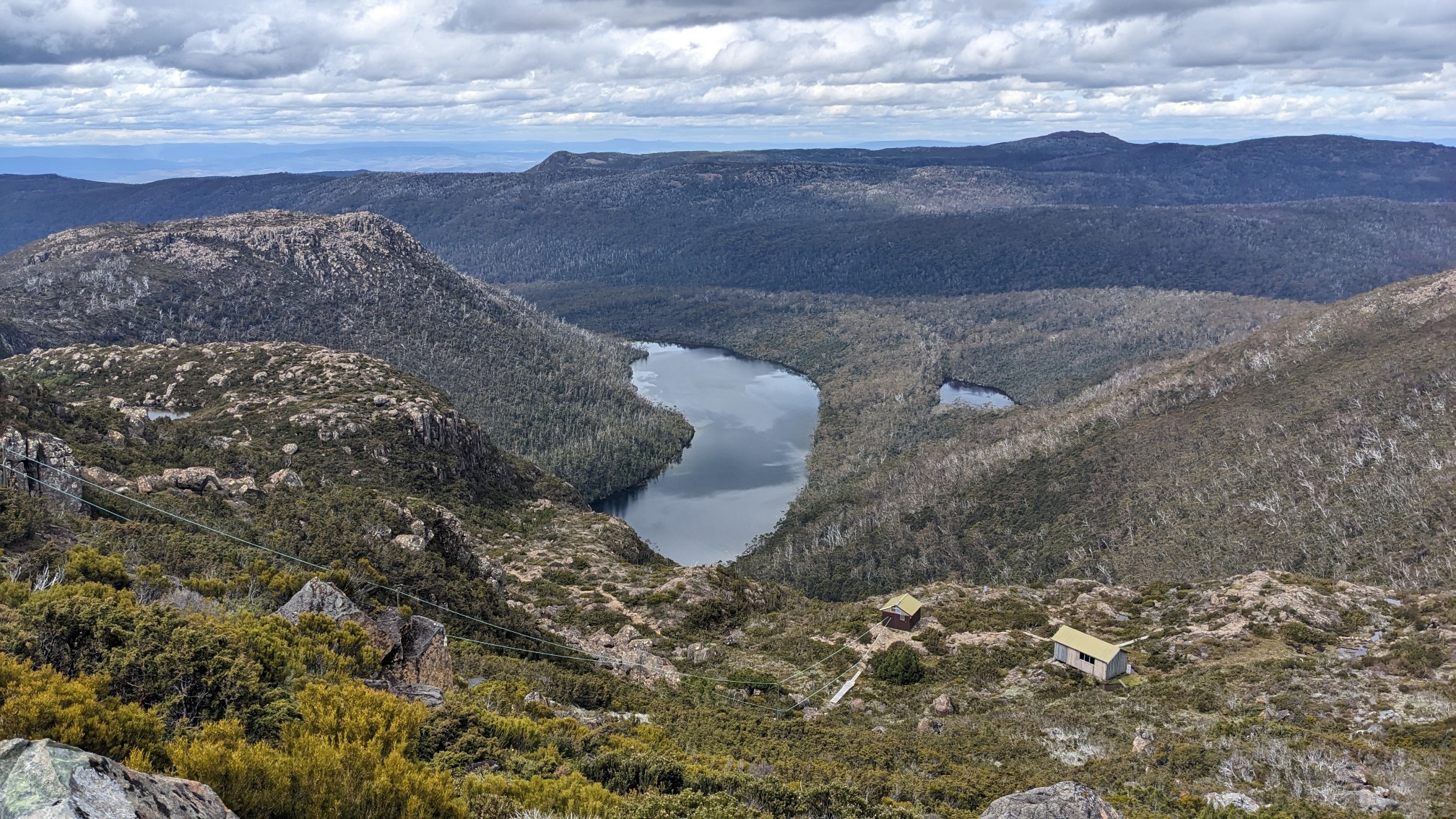
The loop trail is built for heavy use from dayhikers, as I saw plenty of people on the heavily boardwalked trail. There was even an interpretive hut!
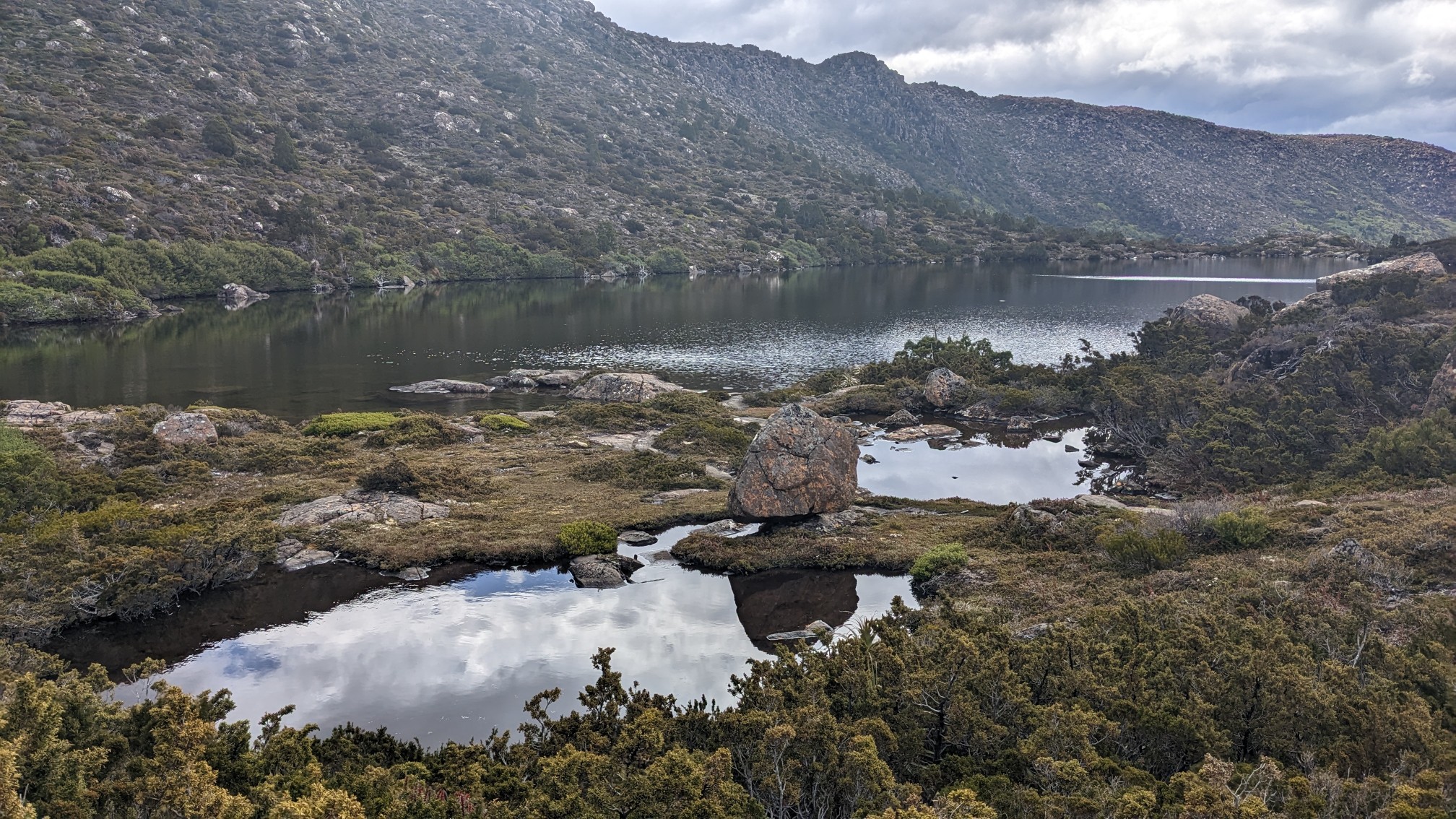
The loop trail gets its name from Tarn Shelf, where there are 7 tarns (mountain lakes formed in glacial cirques) in a short distance. Robert Tarn, and Mackenzie Tarn:
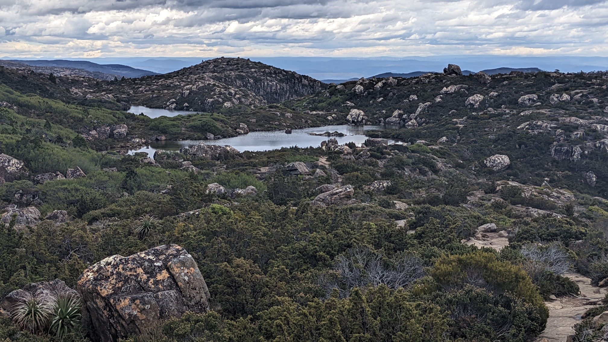
Johnston Tarn:
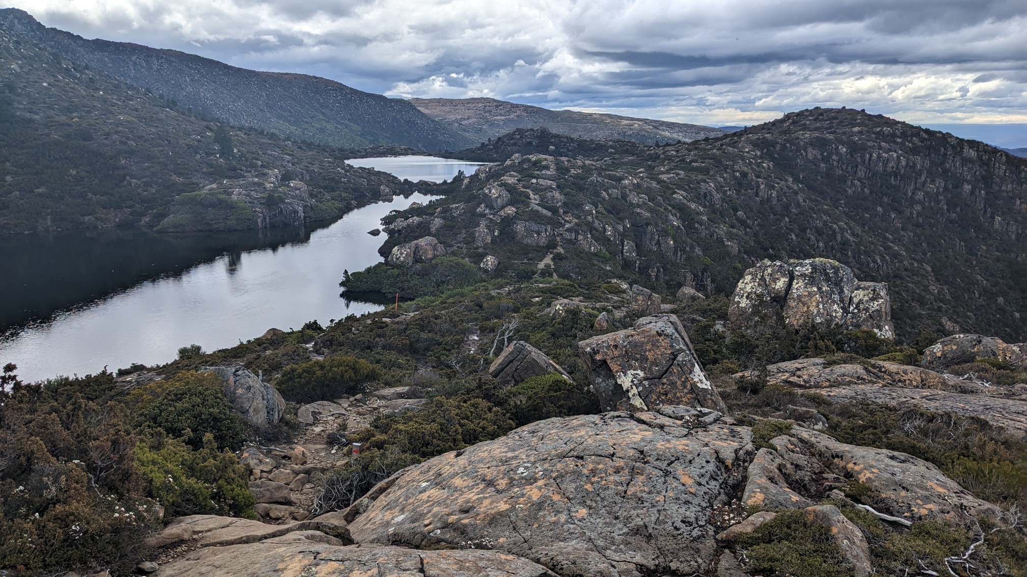
A cool delicately balanced boulder by the tarn.
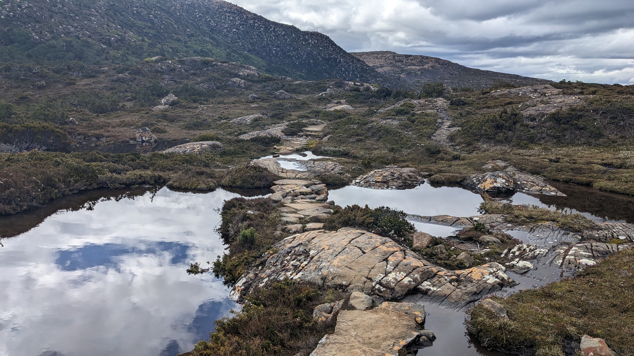
I liked the little stone pathways thru the water.
I made good time on the boardwalk sections, and because it was later in the day, I had this section all to myself.
Twisted Tarn was oddly named, all the others were named for colonialists.
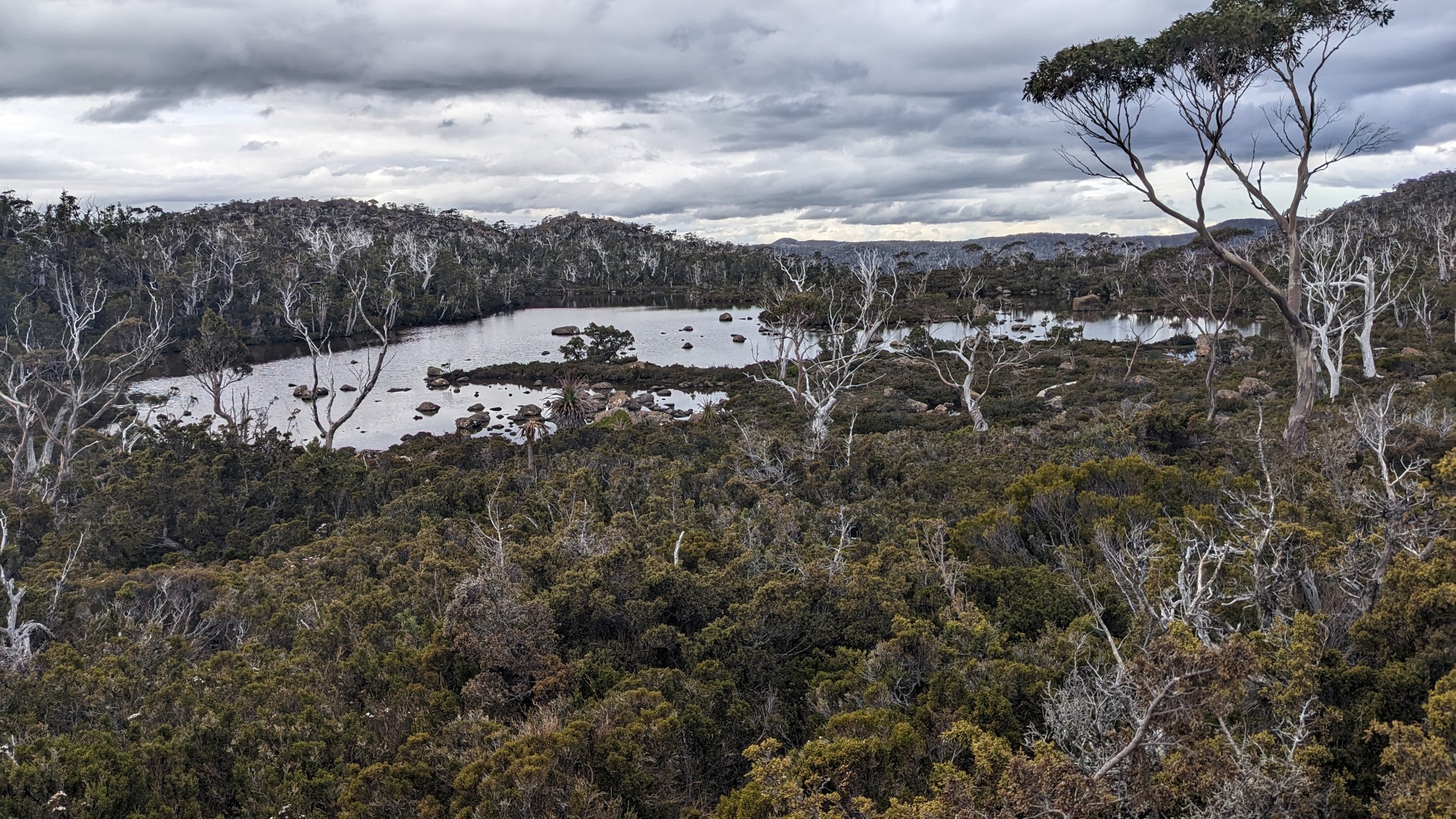
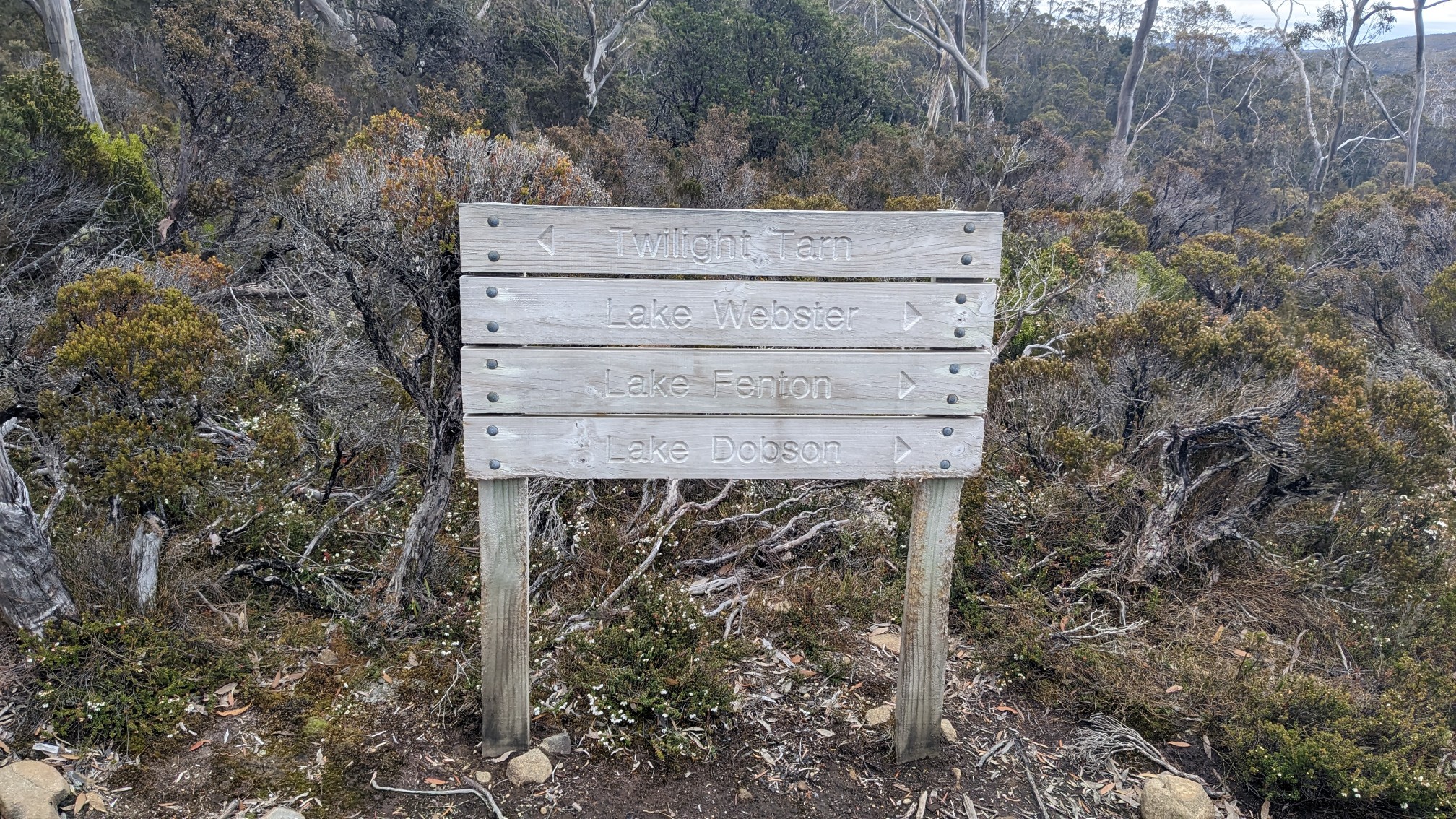
When I got to the turnoff for Twilight Tarn, I knew I was almost home for the night.
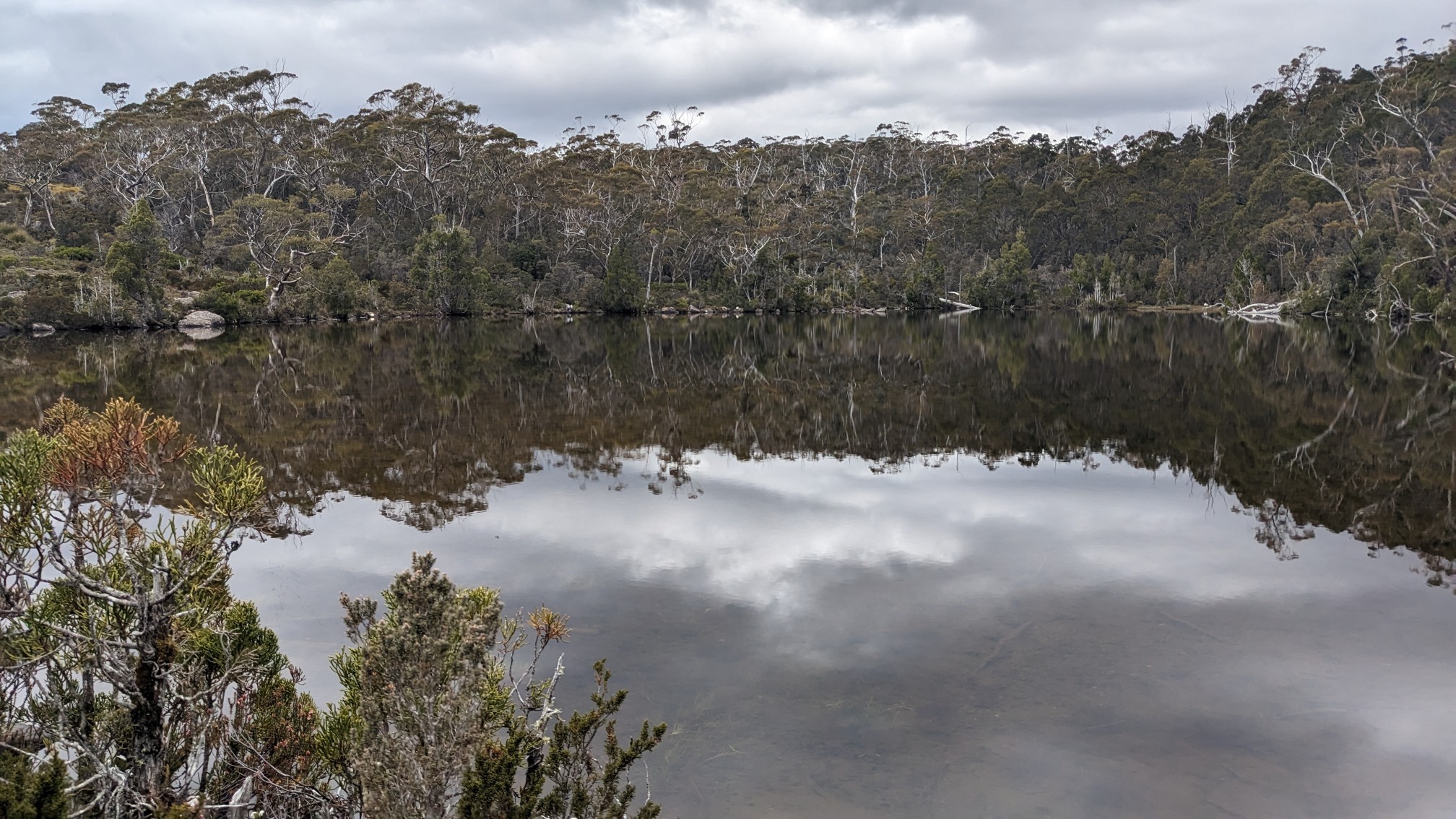
Twilight Tarn:
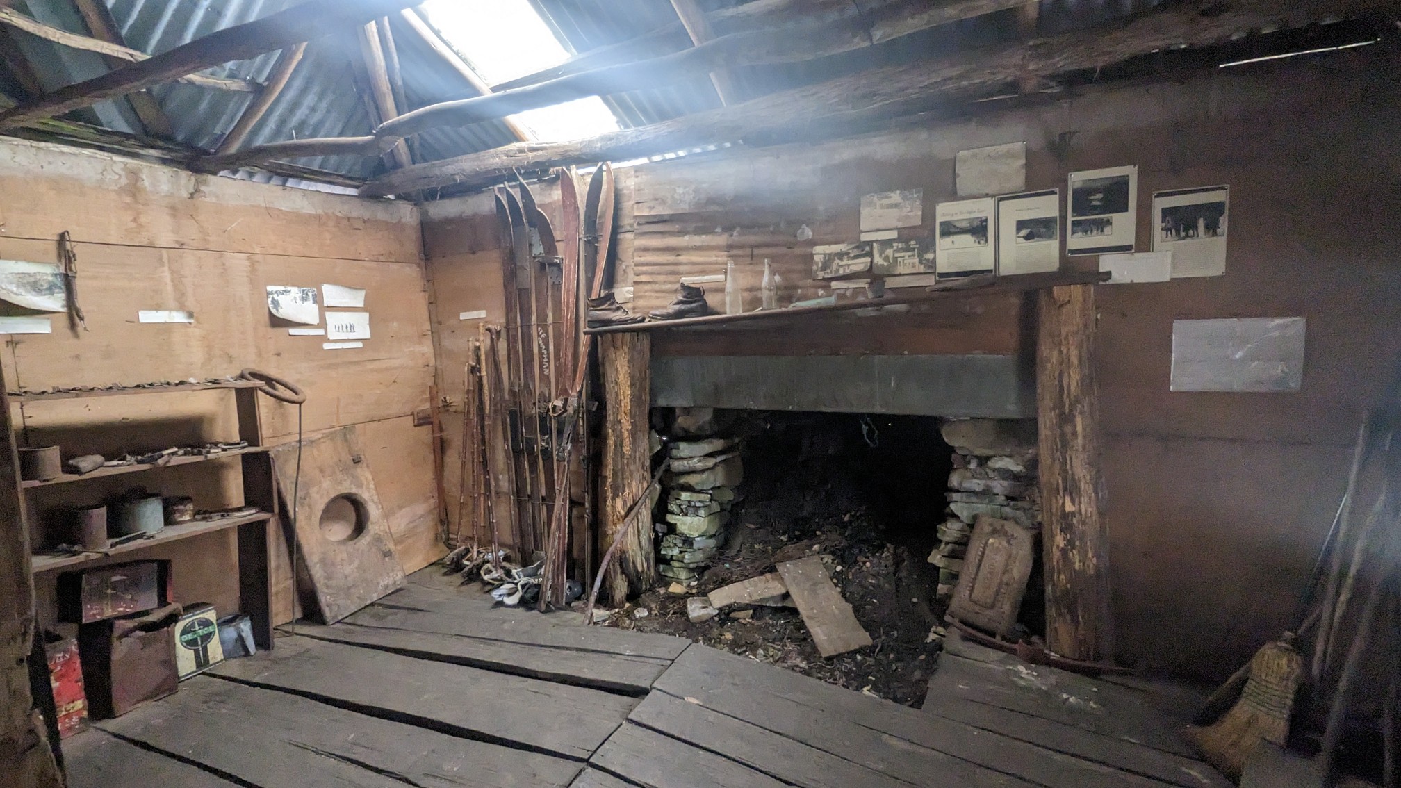
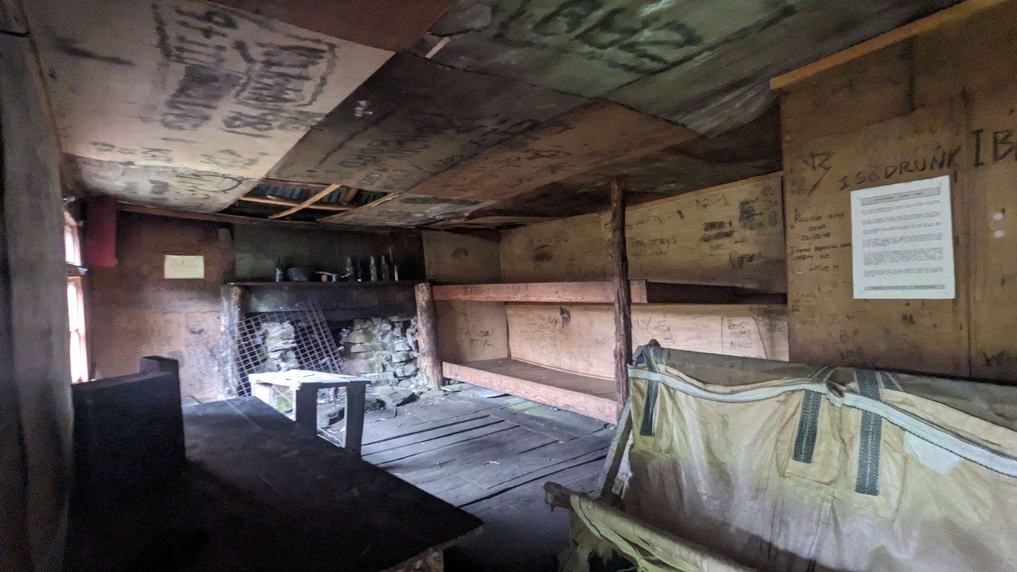
There was another old hut at Twilight Tarn, which is another historic structure, I don’t think sleeping inside would be allowed or even a good idea.
There were 2 other people camped at Twilight Tarn, I talked to the two women for awhile and they were full of good advice for other hikes to do in Tasmania. I set up my tent nearby on a hill, under some trees.
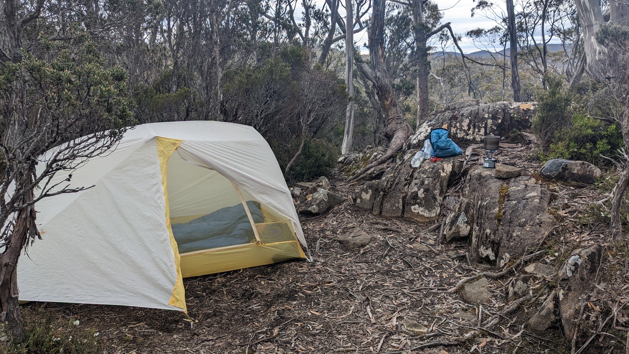
Tomorrow will be an easy 2 hour hike to complete the loop, hopefully the rain holds off until the afternoon!
Lovely lakes (Tarns) & impressive balancing boulder! 🙂
I did not know much about tarns until your Blog, Jon! And so many of them! Very cool!