Sunday December 18, 25.8km/16.0mi
Darlington Campground (16.6/10m) to Wineglass Bay Trailhead (0.0/35m) to Hazards Beach Campsite (9.2/5m) (TAS)
I slept great under my little copse of trees, and awoke to a beautiful blue sky morning. I walked over to the meal pavilion, where I grabbed my food out of the lockers (required by the park), and enjoyed a walking meal. Much of the trail system on this island is old roads, it seems.
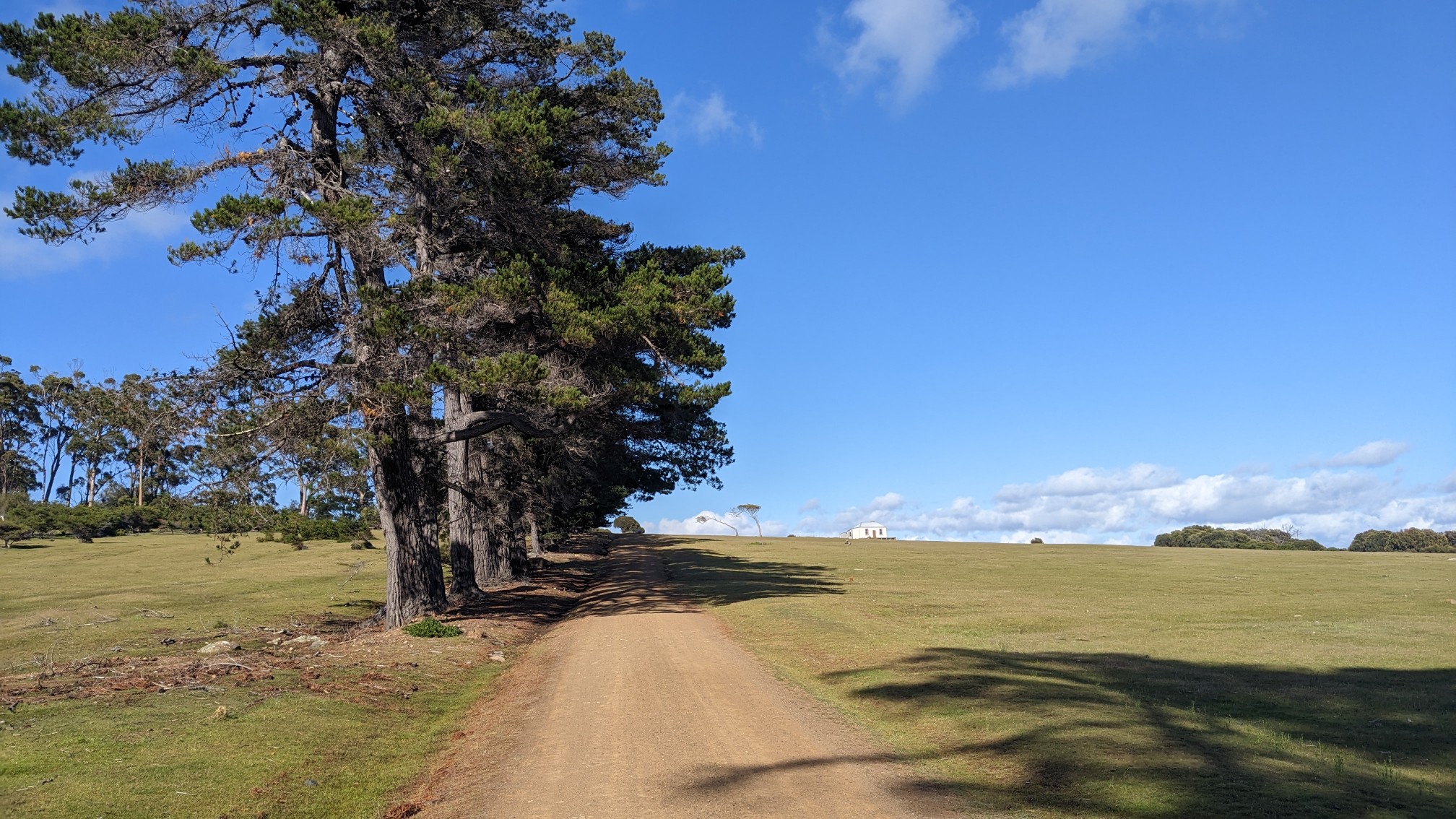
There was a little old house by the water, and I had to go explore inside. It had many used over the years, but one of them was a radio equipment building. And the radio was powered by pedaling a sort of bicycle contraption. Neat!
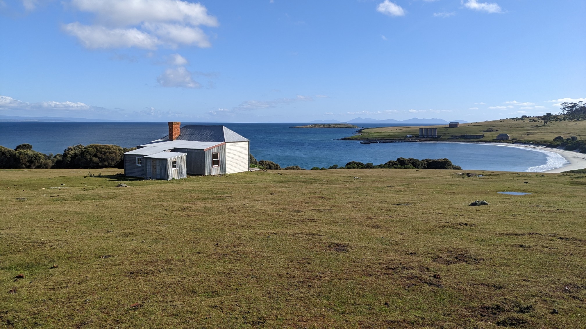
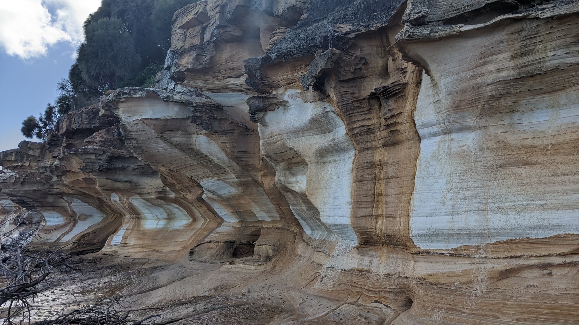
The Painted cliffs were a short 2km walk along the coast. I knew what to expect from photos, but it was even more amazing in person. I think they are caused by mineral water dripping out of the cliff, combined with erosion.
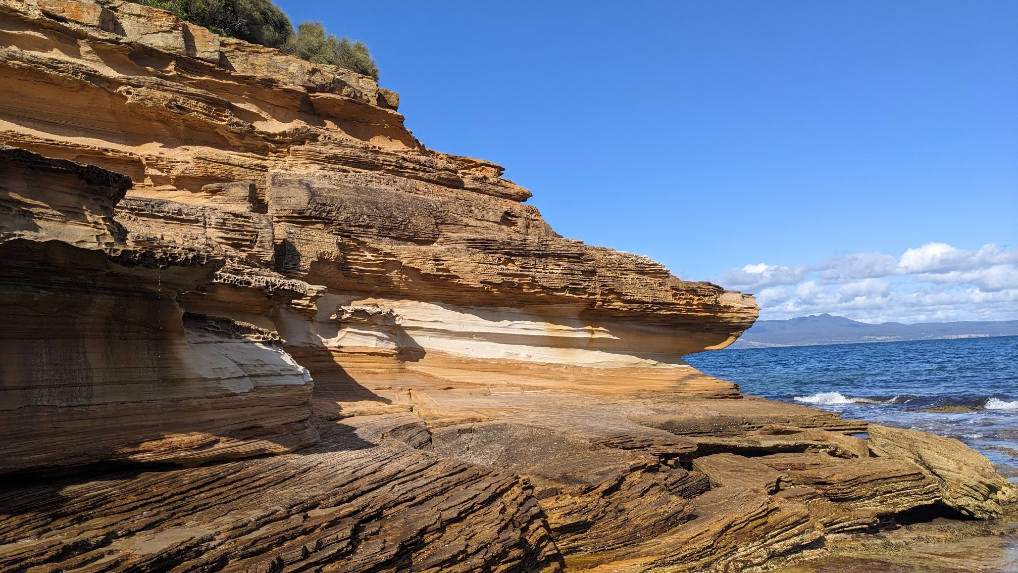
So cool.
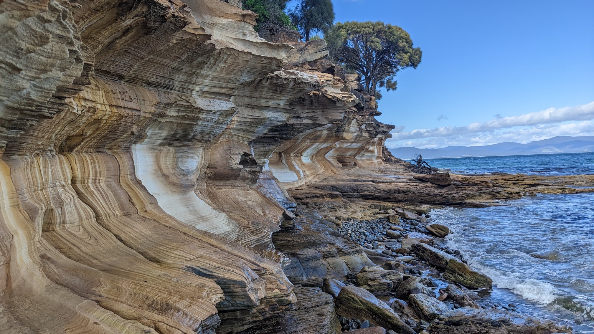
The patterns were incredible!
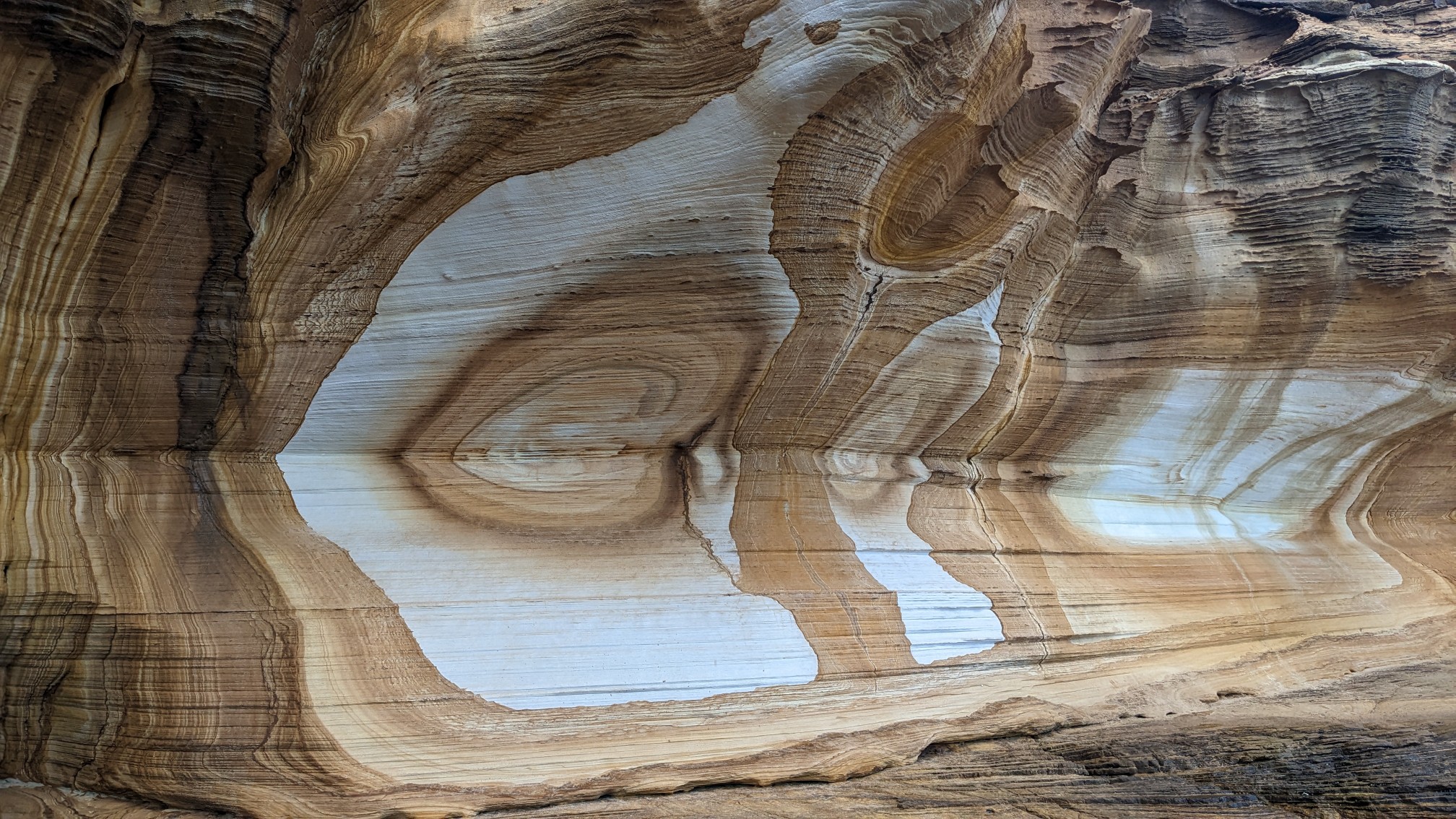
It was almost 9am and somehow I had this place all to myself.
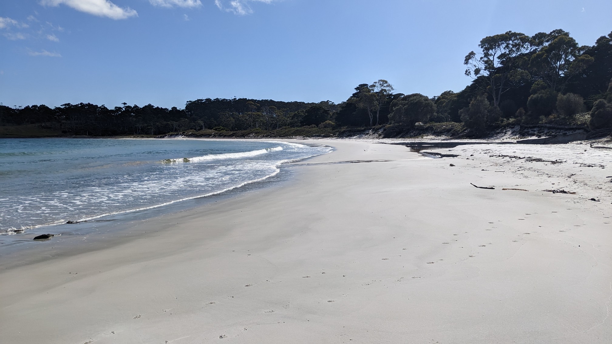
For the walk back, I opted for the beach option. It was only 5 minutes before I rejoined the trail on land, but I’m always looking for sea life.
Back at the campground, I grabbed my backpack, hat and sunglasses from my tent. I threw in some snacks and water too, since this next hike would be about 4 hours long. Like the other trails, it started off flat and easy.
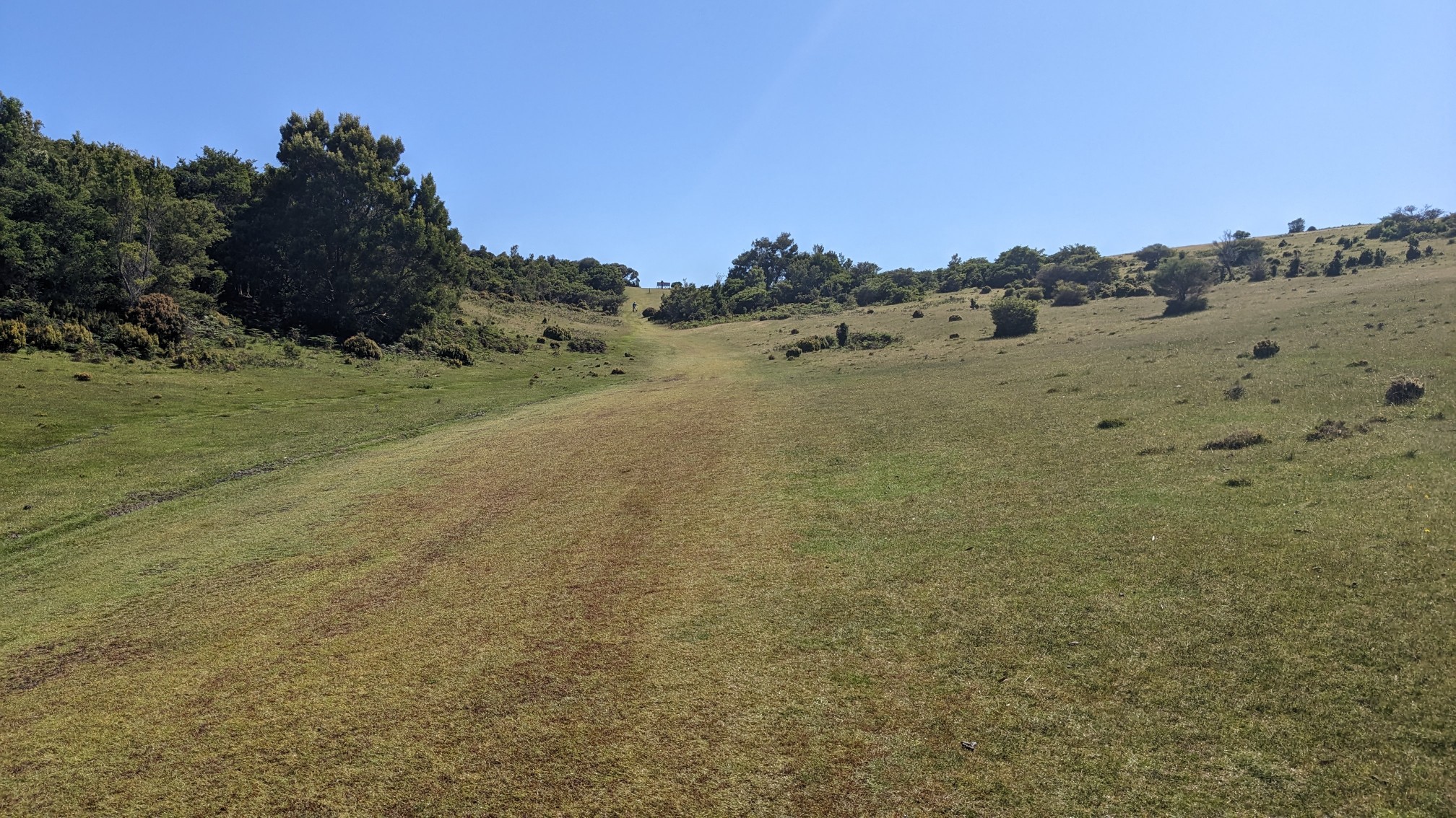
After only 2km, I had crossed the width of the island, and I had a view of my destination. Bishop and Clerk and the bumps on the left side of the ridge.
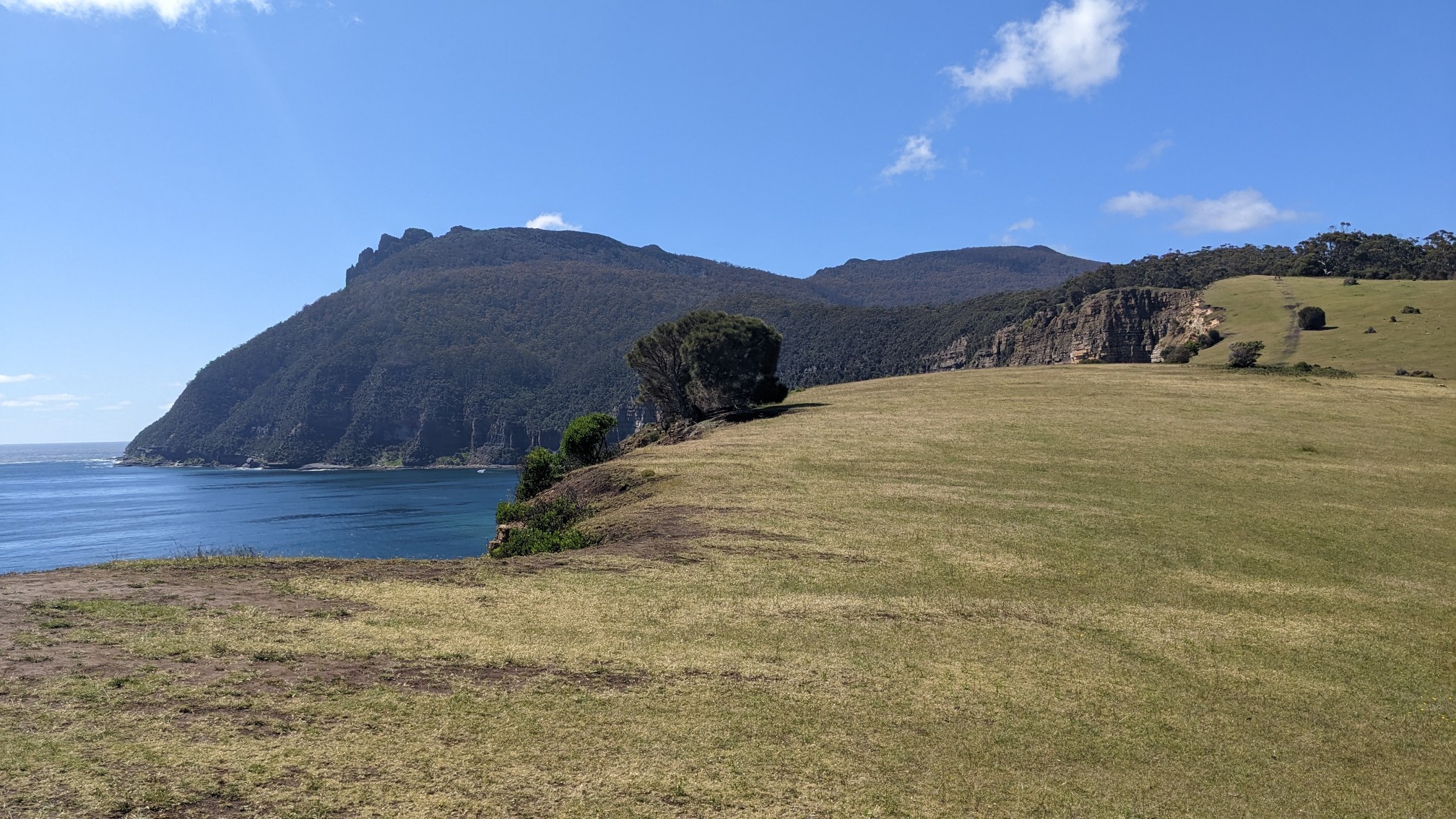
Getting closer! The photos don’t really show how much elevation gain happened along the grassy section, it was a couple hundred meters. The trail follows near the cliff edge, which felt far enough away to be safe. But then I saw people on bicycles, speeding downhill, and they didn’t have as much room for error!
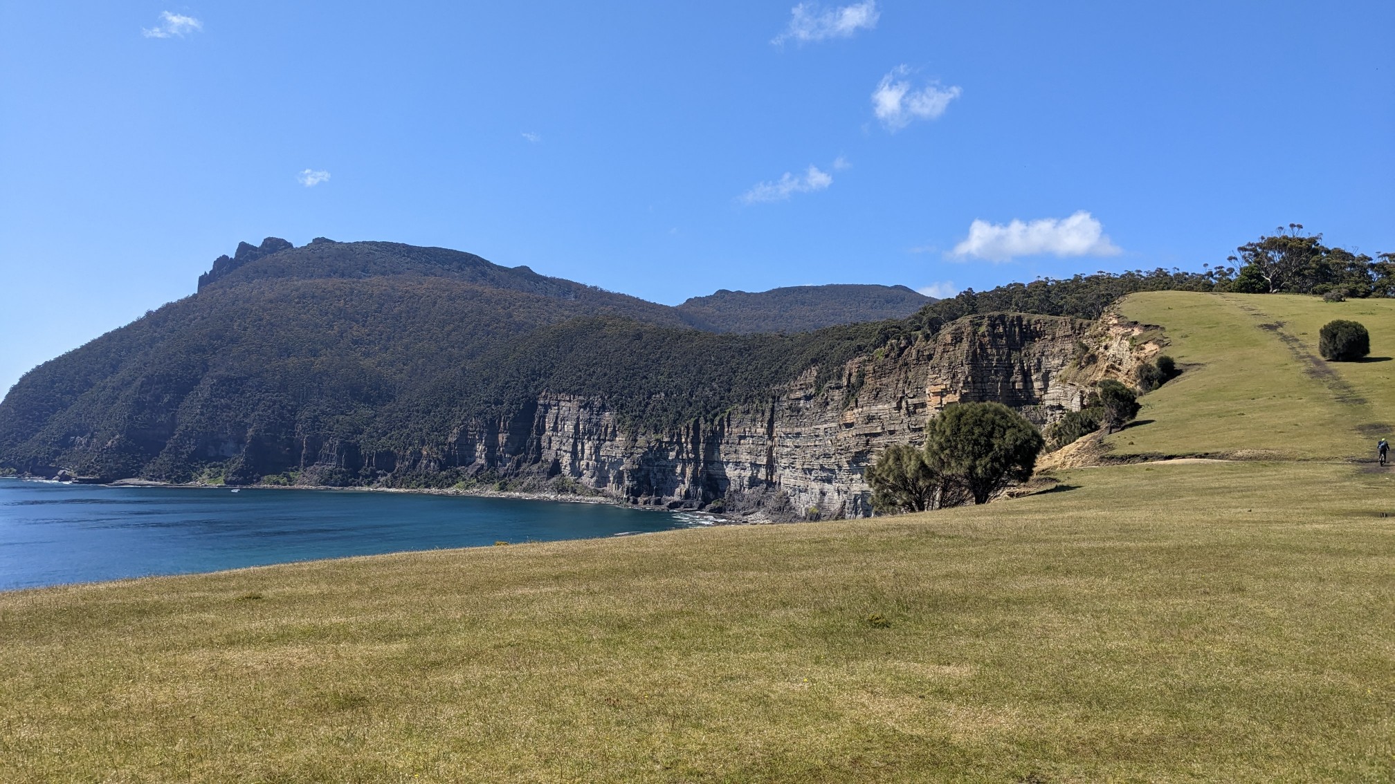
Looking back at what I had just hiked up.
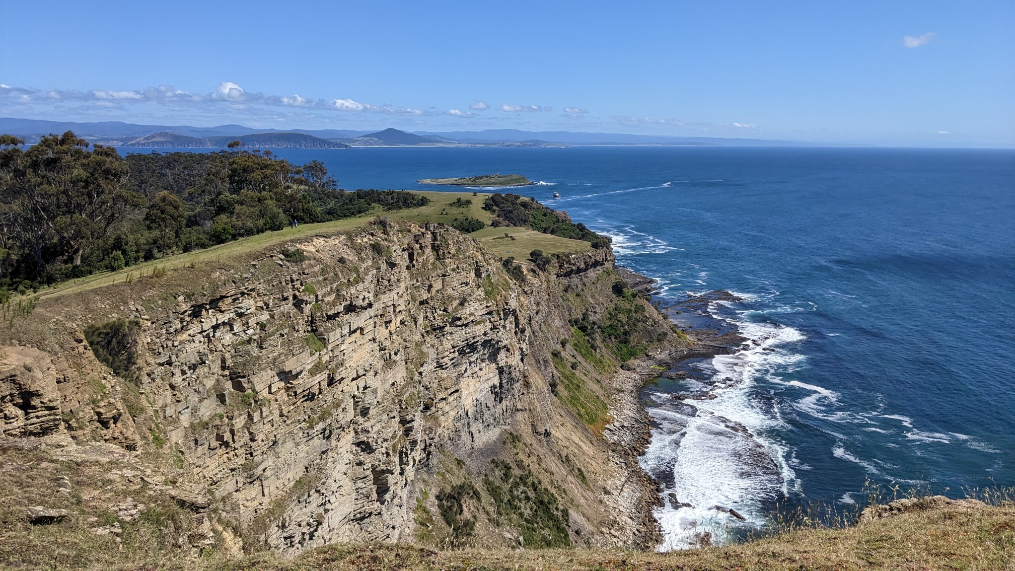
About halfway up, I entered the forest, which was full of these cool gum trees.
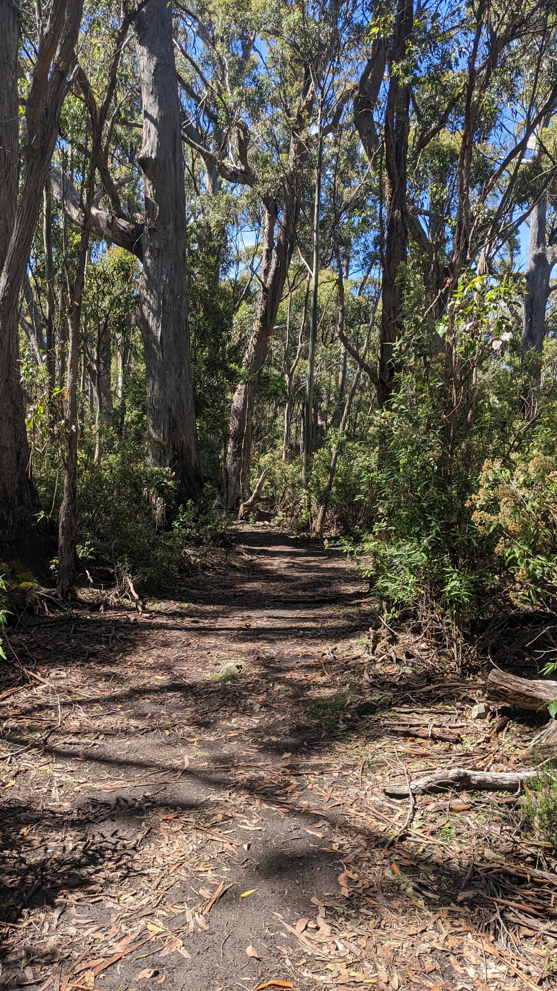
The forest only lasted 30 minutes, and then it was time for the final bit of climbing to the top. Climbing up thru a talus field!
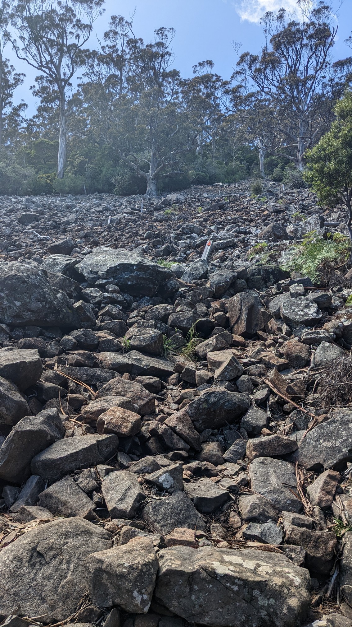
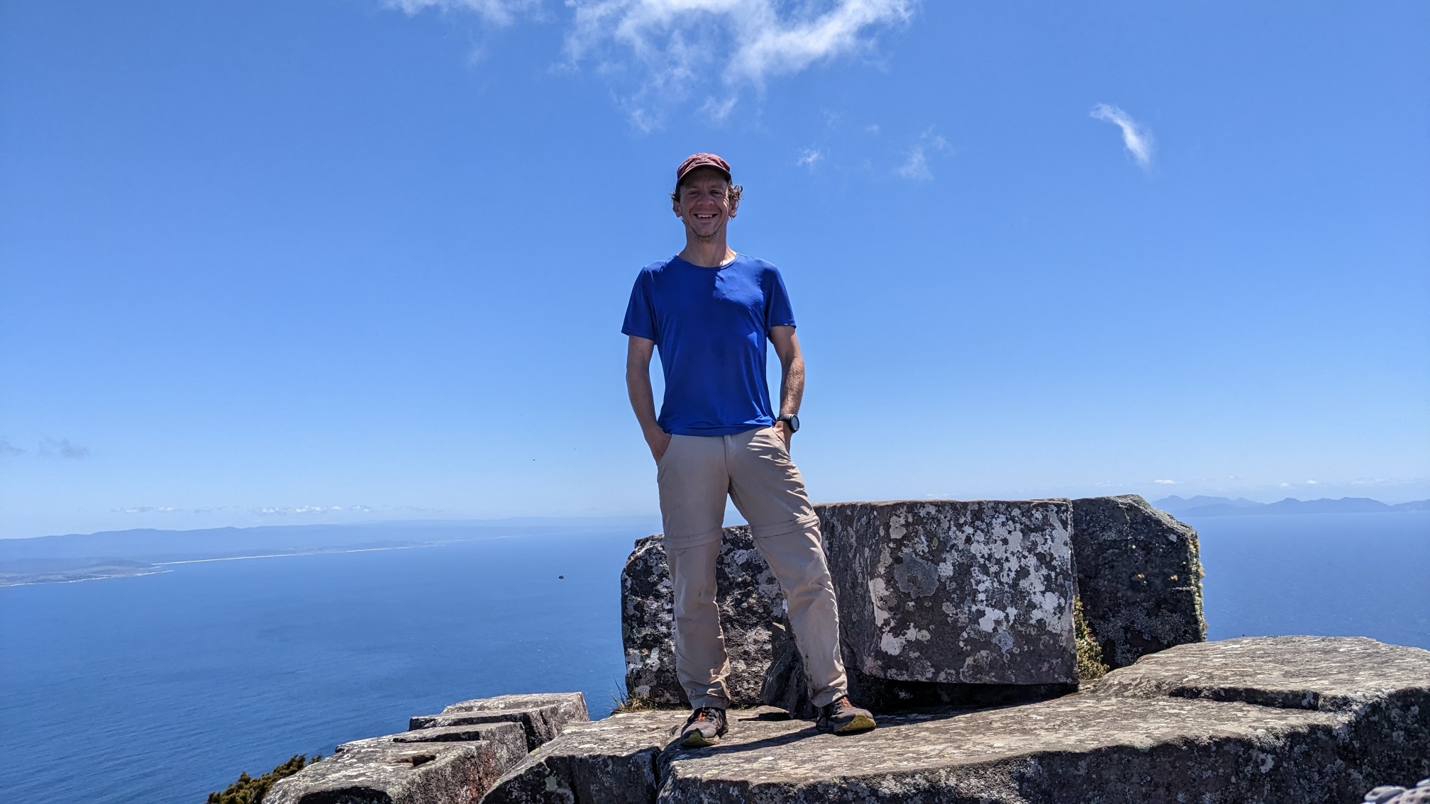
The trail actually switchbacked its way thru the talus, with rock steps at every turn, it was pretty nice! I got a little confused at the very top, as the trail weaved thru some massive boulders, but I found the way eventually. There was an older couple up there who were enjoying their lunch, and they took a bunch of photos for me. She used to be a magazine photographer before she retired, I think she was enjoying it, ha!
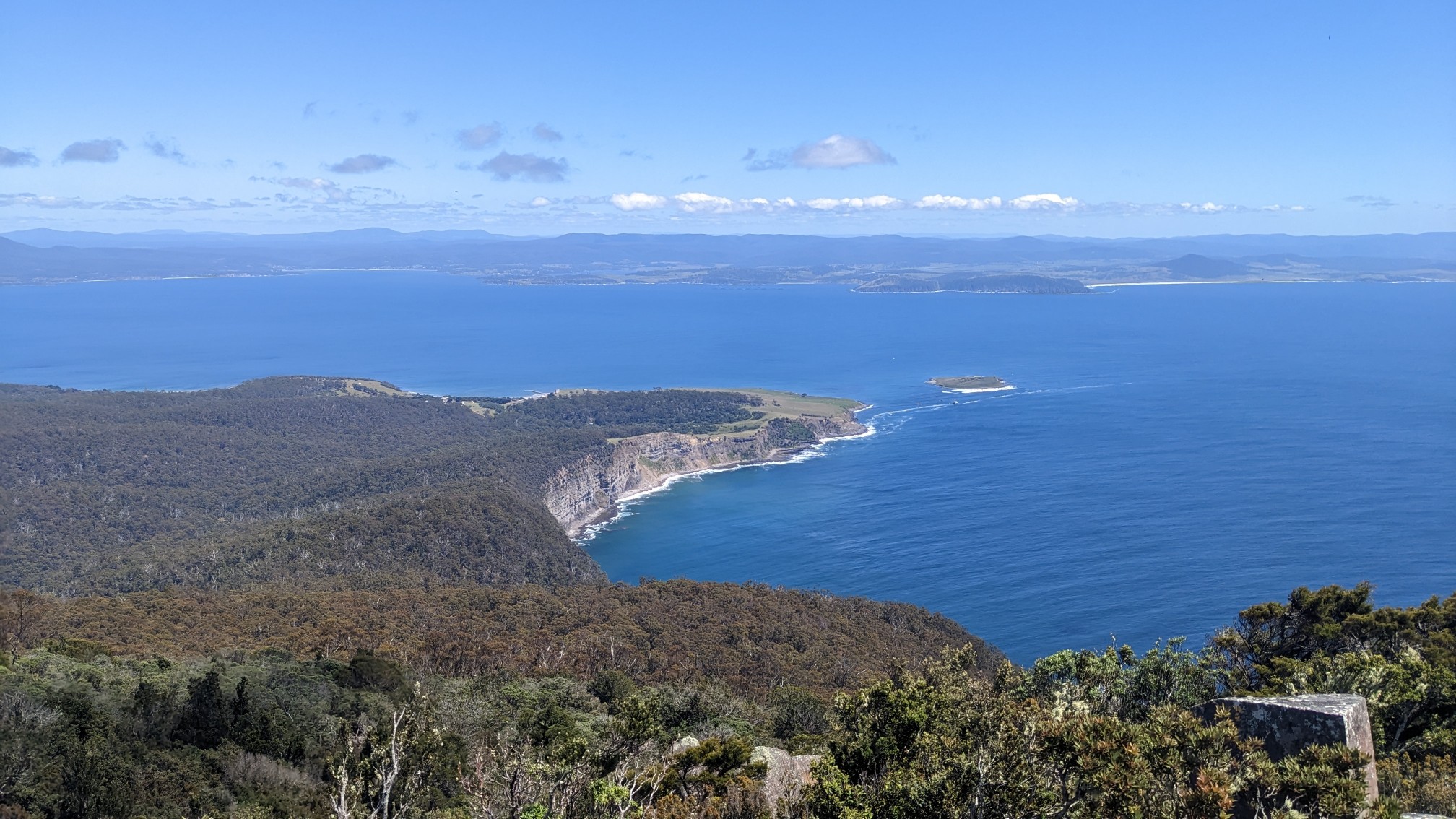
View to the north, where I had just hiked from.
As I ate my lunch on the warm summit, some more families showed up.
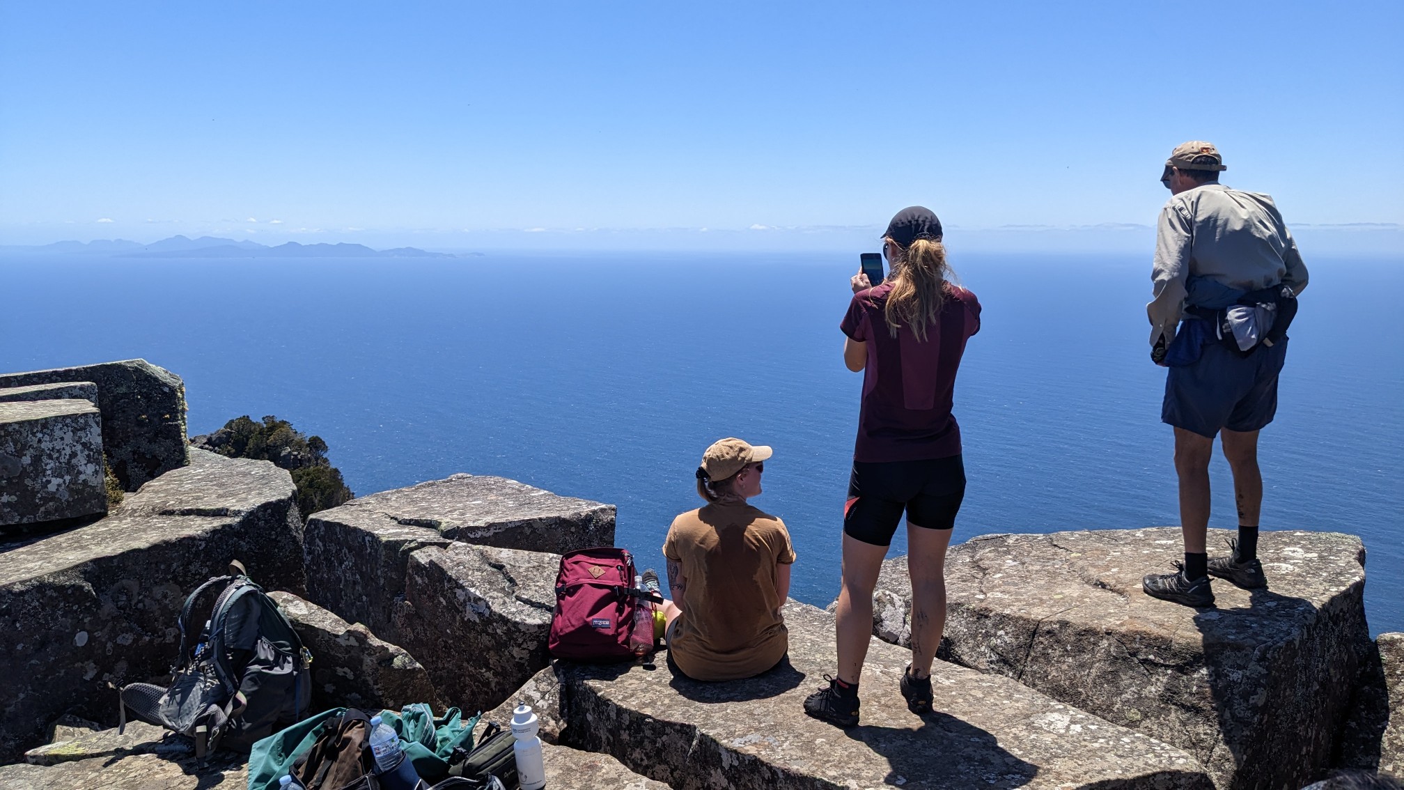
There was a very steep drop down the other side, opposite of where I had hiked up from.
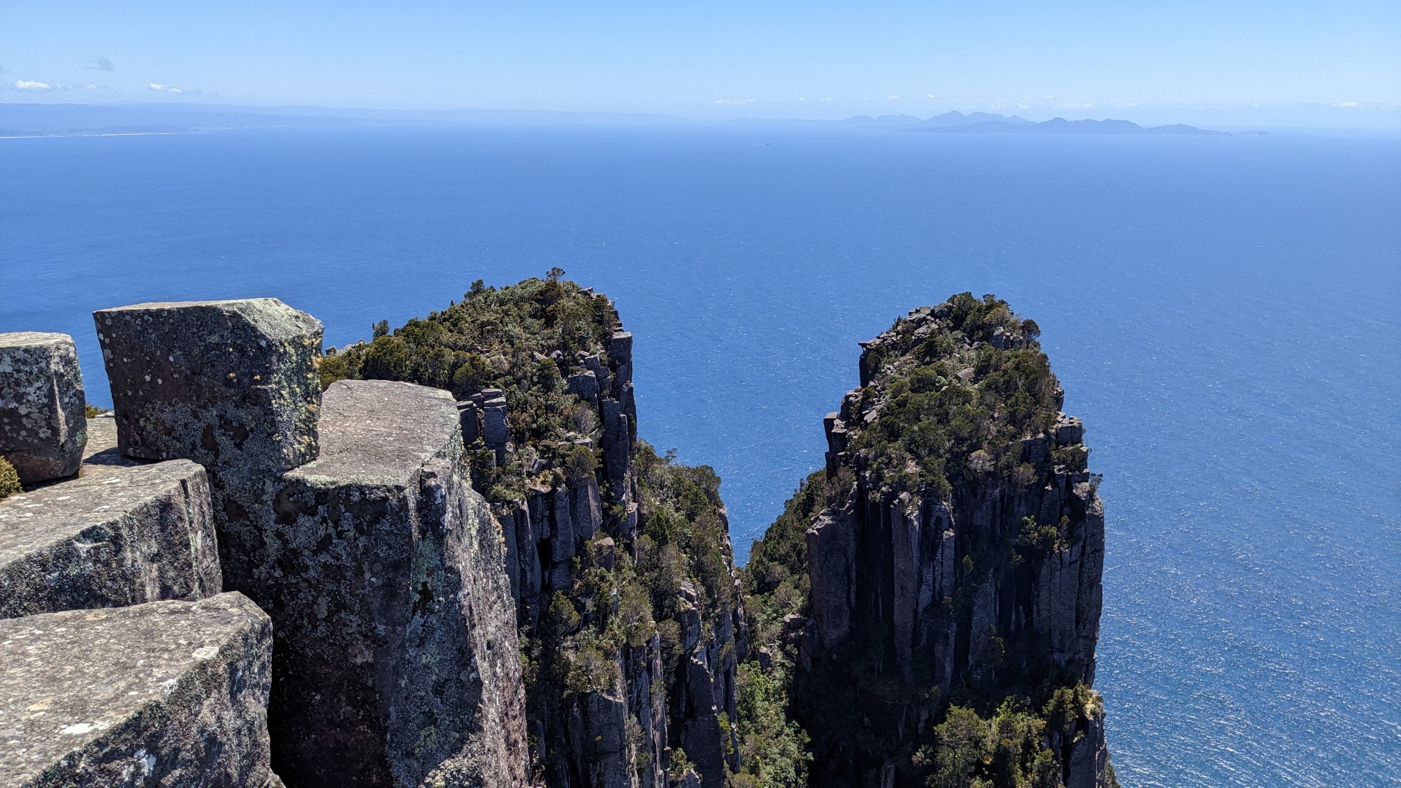
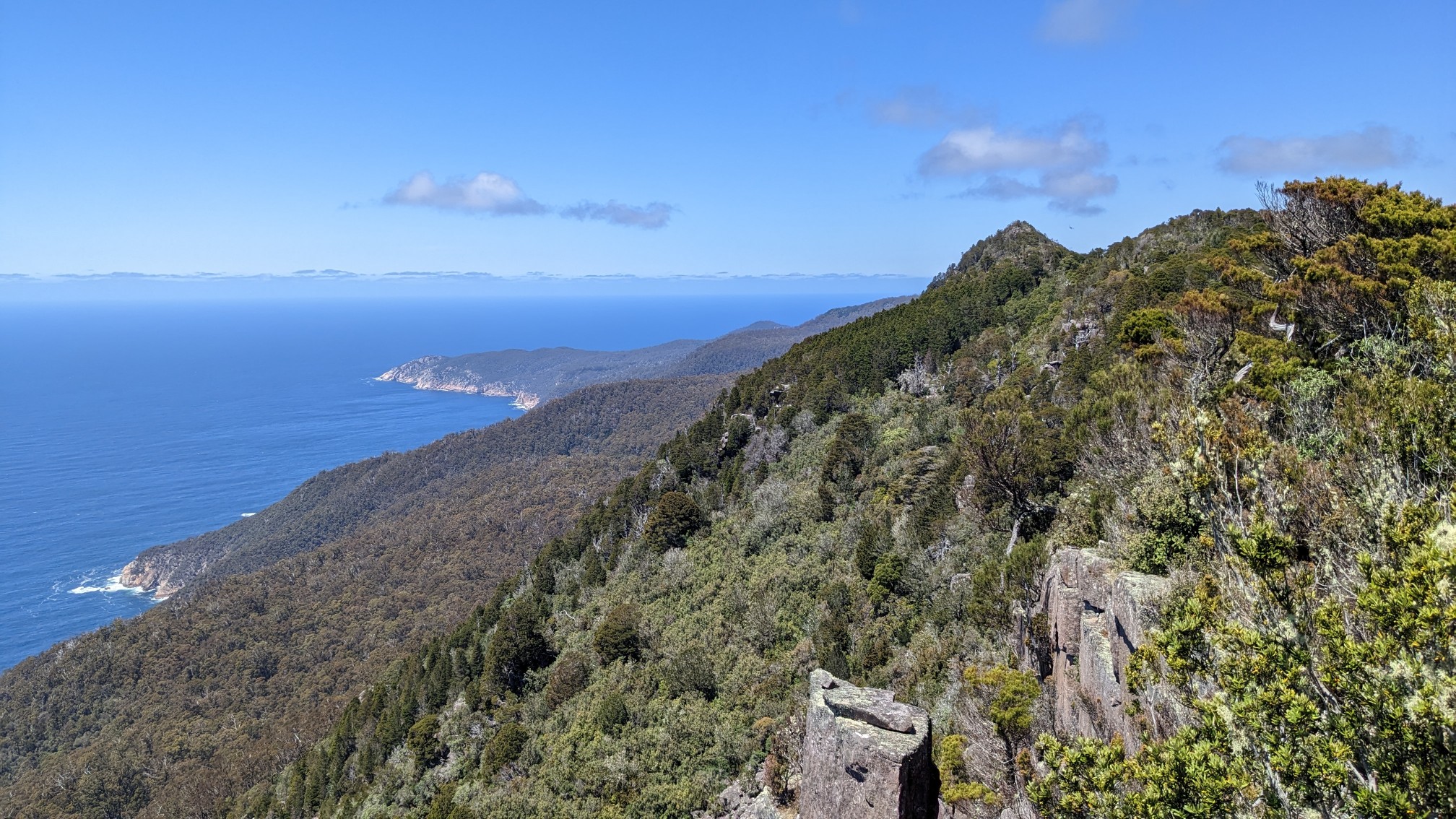
Looking south, towards Mt. Maria.
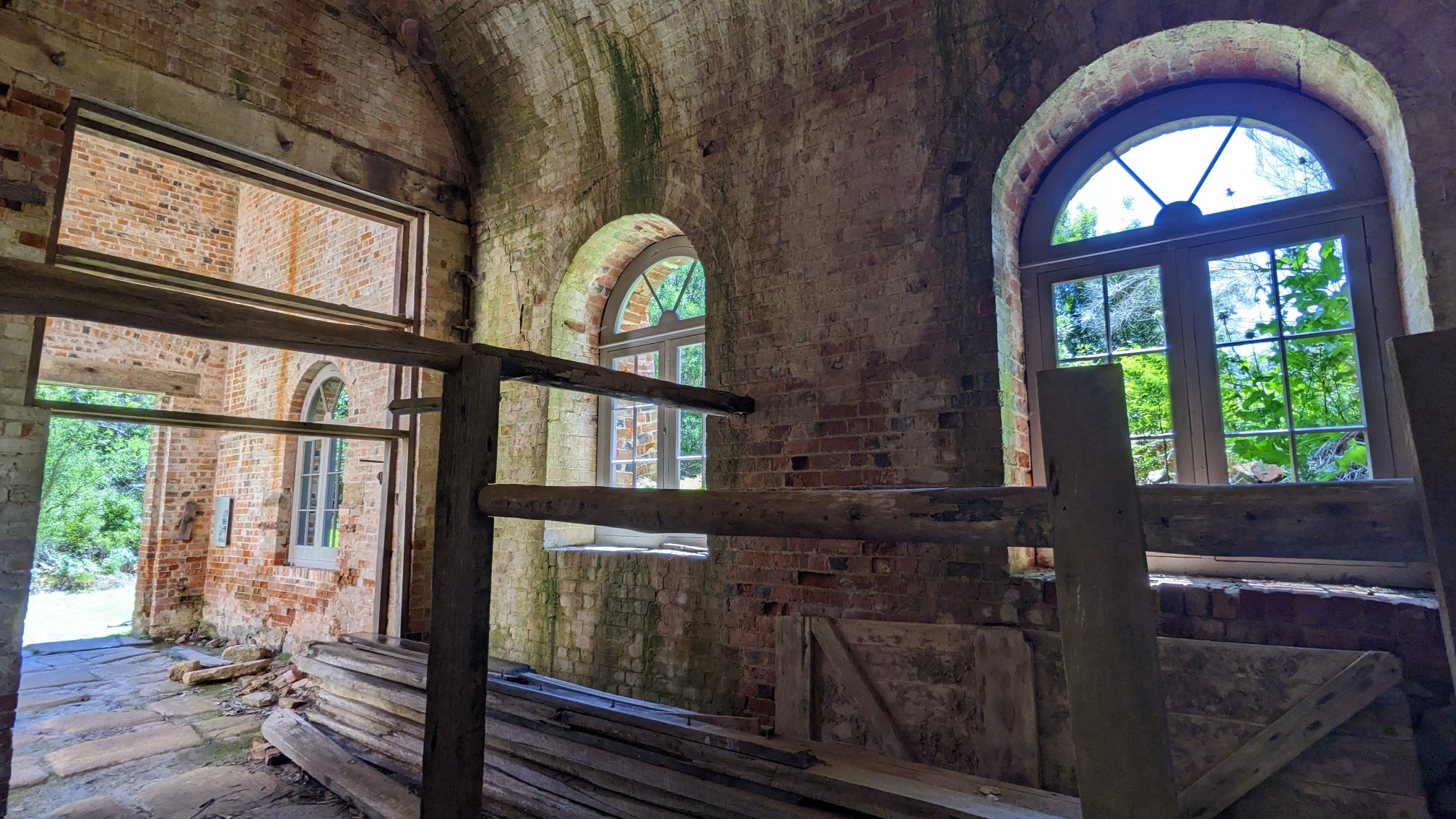
I stayed on the summit for awhile, and I left as more people were coming up, so they would have room. It was an easy hike down, and 1.5 hours later I was back near the Darlington village. I hadn’t noticed this old building on the way up, so I had to explore it.
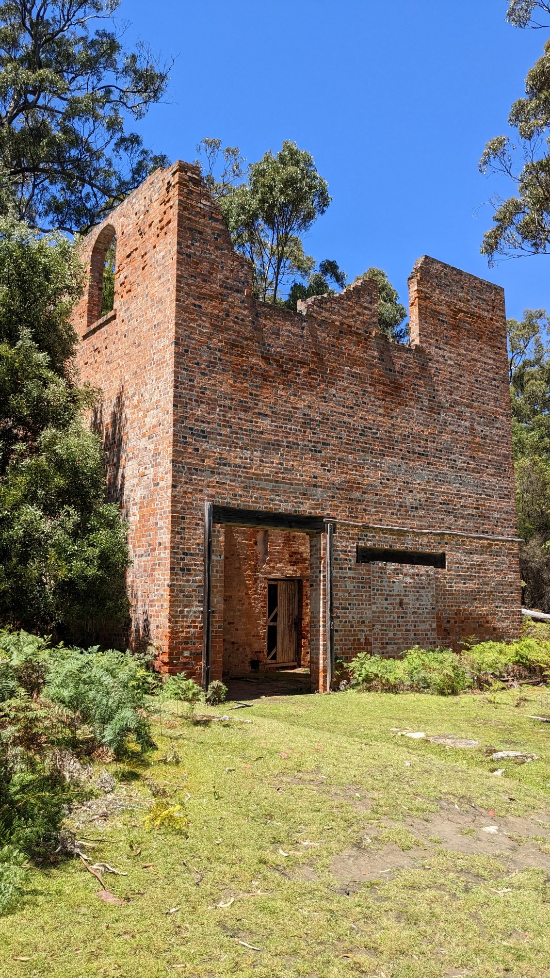
It was a huge old brick structure, historically used to house engine equipment.
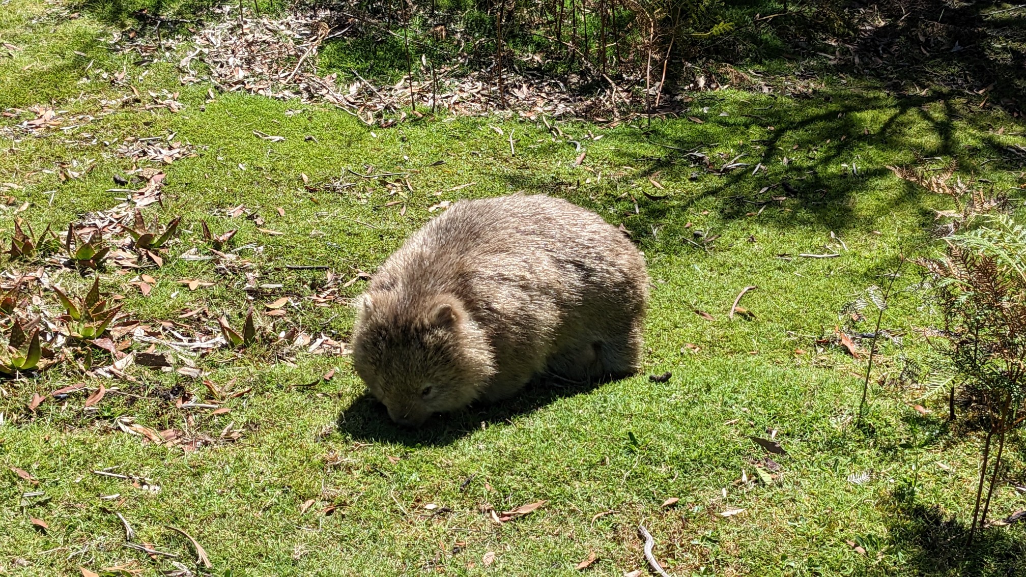
The Wombats were out in force to do their part in keeping the grass short!
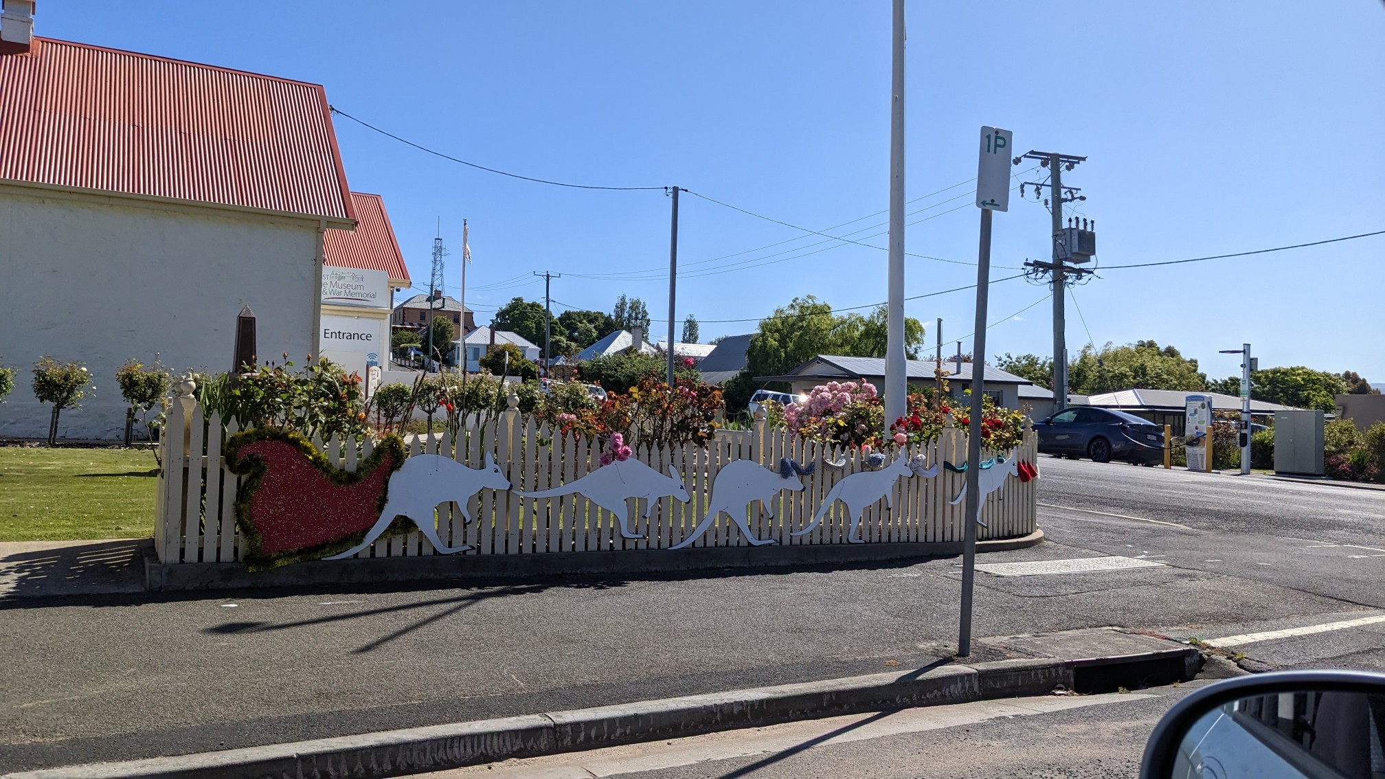
I returned to the campground at 1:30pm, and had everything packed up quickly. It felt nice hiking all morning with an almost empty backpack! I strolled over to the ferry docks at 2pm, plenty of time before the 2:30 ferry departure. I boarded a half-full ferry and was back at my car just after 3pm. I had planned to start my final hike tonight, the Freycinet Circuit. It was an hour and a half drive, so I didn’t waste any time! Along the way, I passed thru a small town with some Christmas decorations… except Santa’s sleigh was being pulled by kangaroos instead of reindeer!
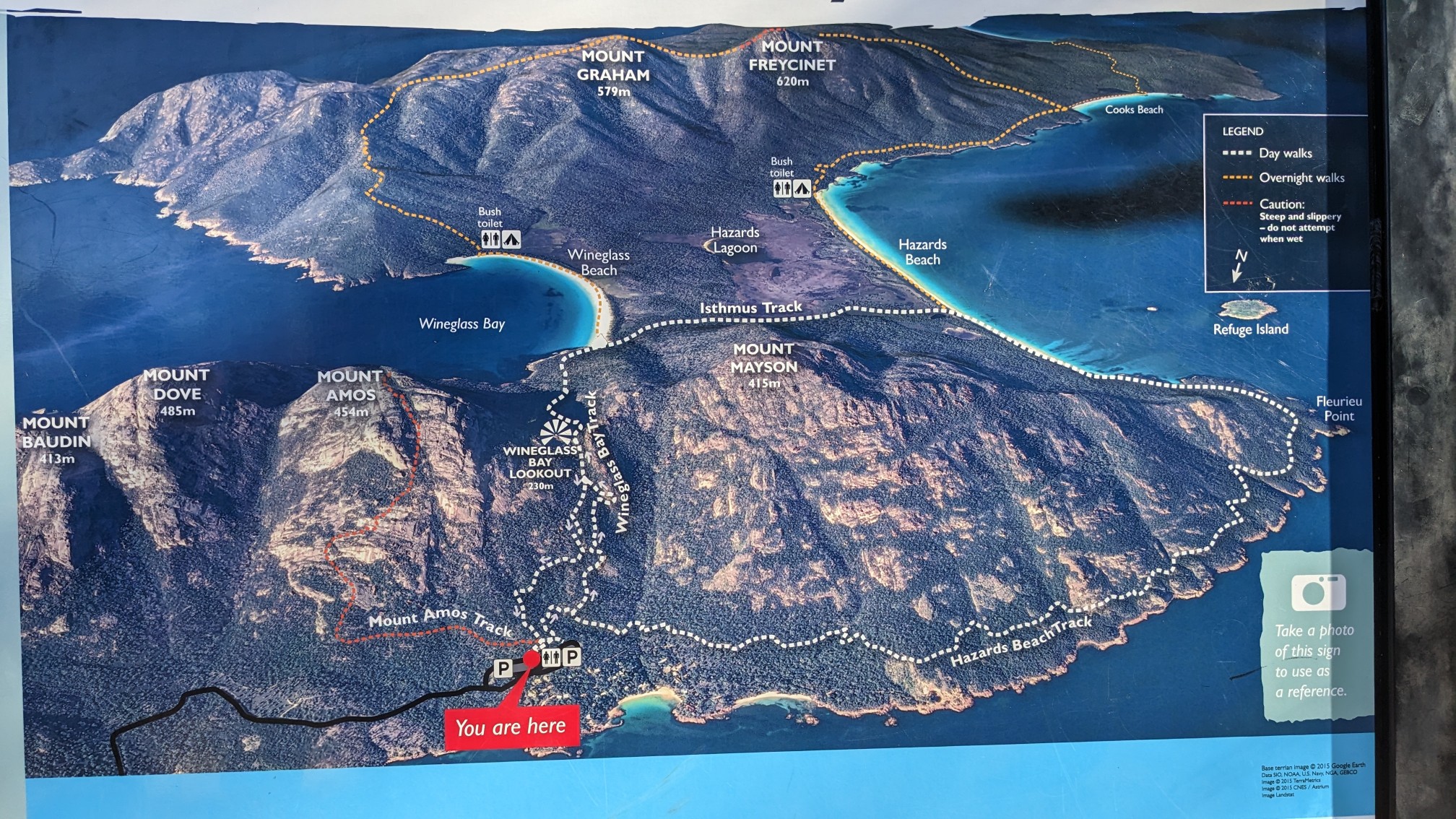
I arrived to Freycinet National Park just before 5pm. I grabbed some food from the trunk, re-packed my backpack, and was ready to go 15 minutes later. I love resupplying from my trunk, it’s so much easier, haha. This map at the trailhead was a good illustration of the 2-day hike, I’m doing the loop counterclockwise.
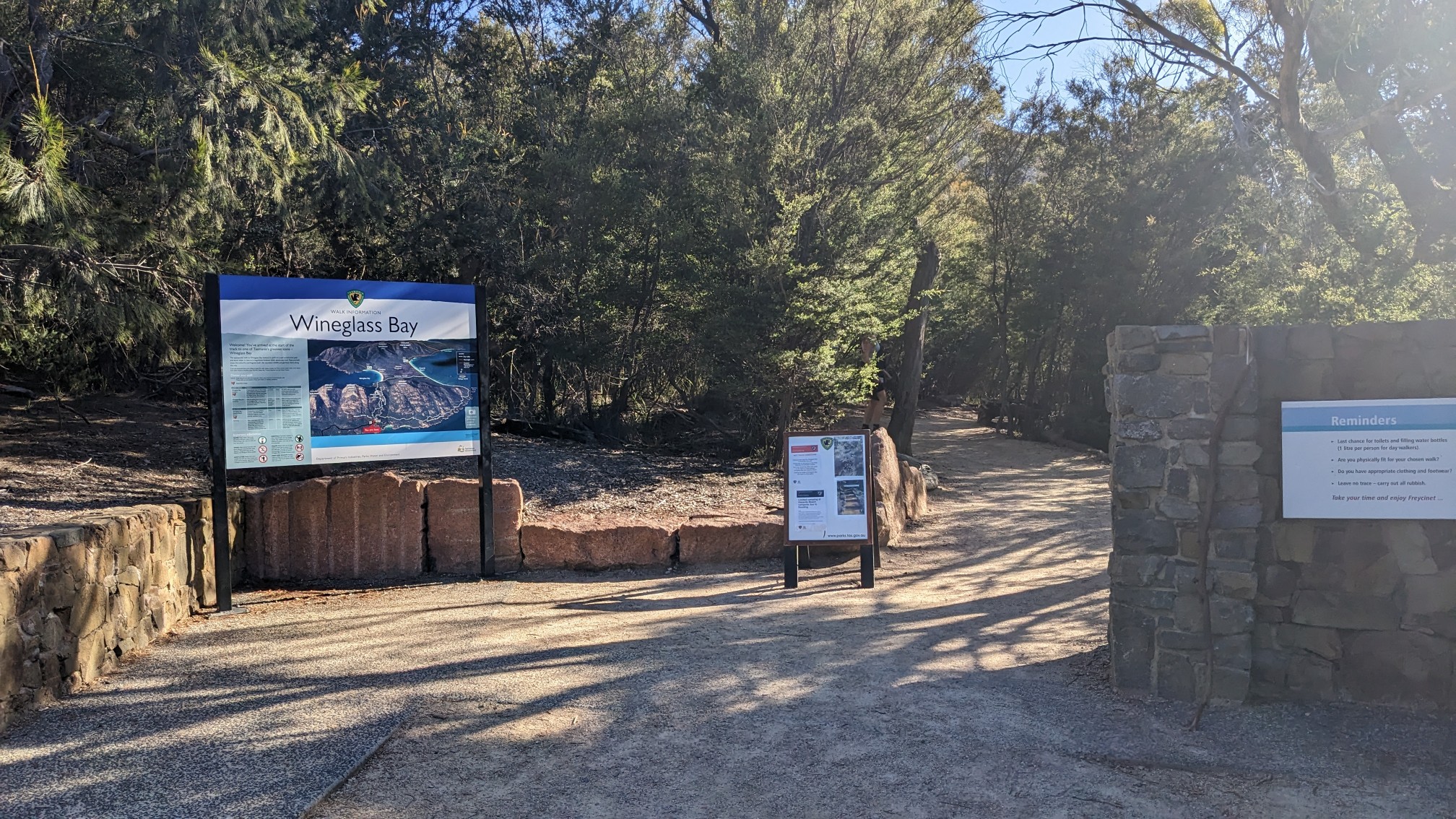
I started off just after 5pm, and saw only a couple of hikers.
The first part of the loop is in the forest.
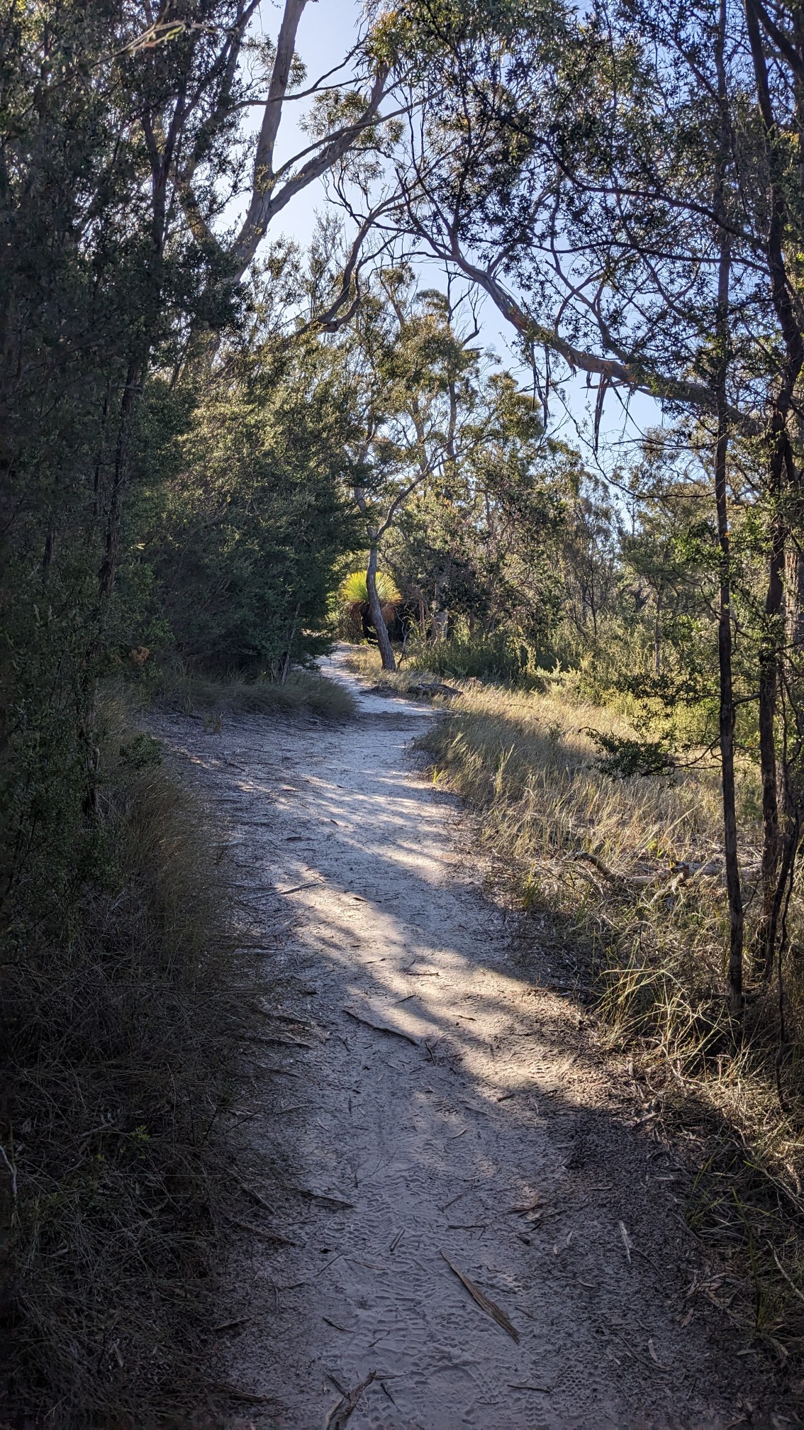
And sometimes I would get a view of the sea before returning to the deeper forest.
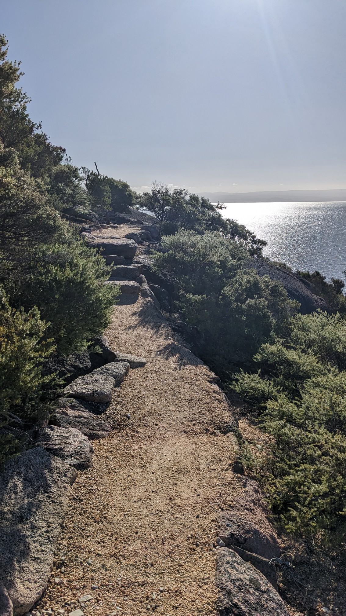
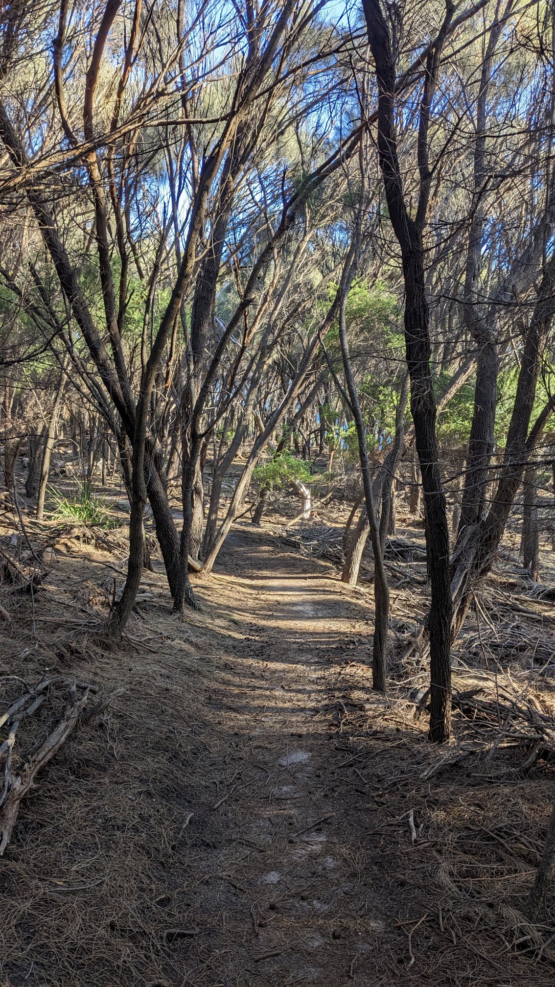
These spindly little trees were everywhere on this section of the trail, it made for a wonderfully open forest floor.
After 6km, I emerged into Hazards Beach.
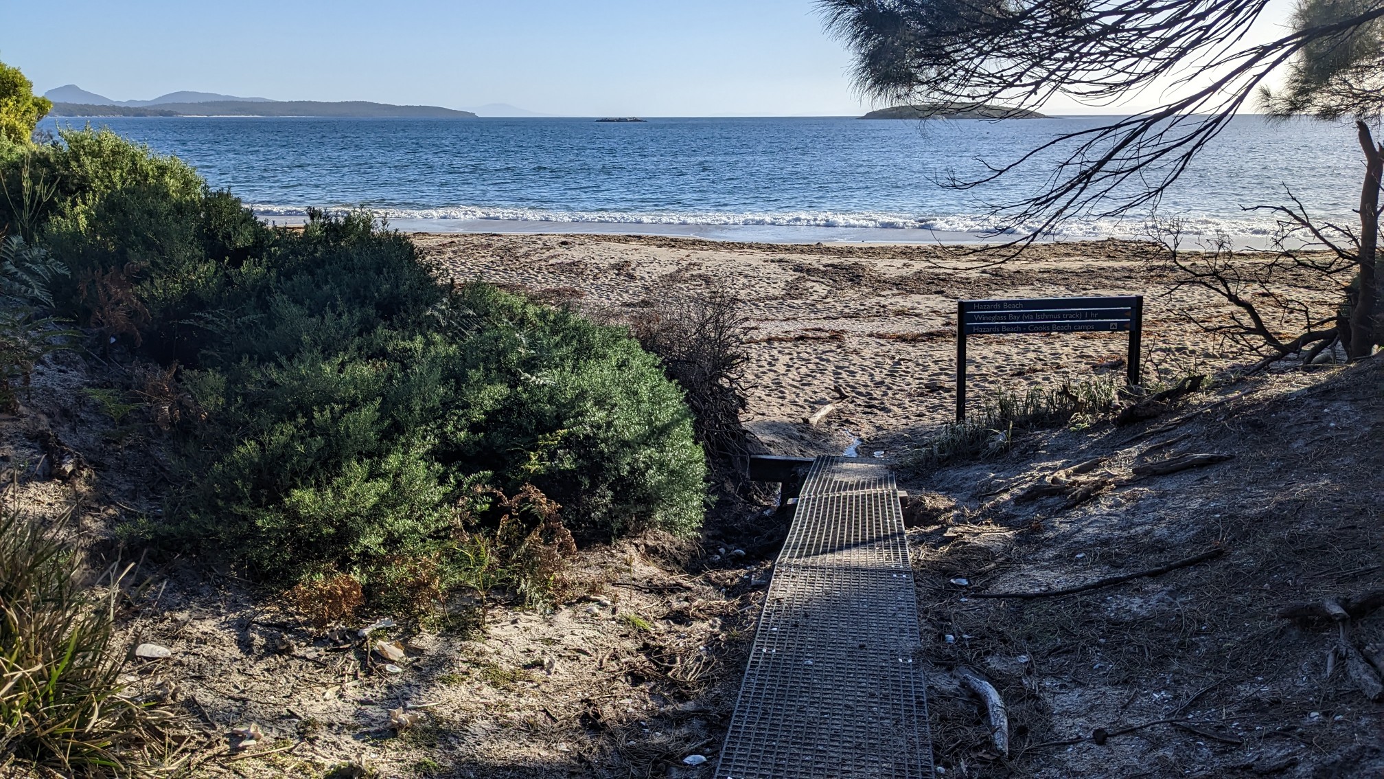
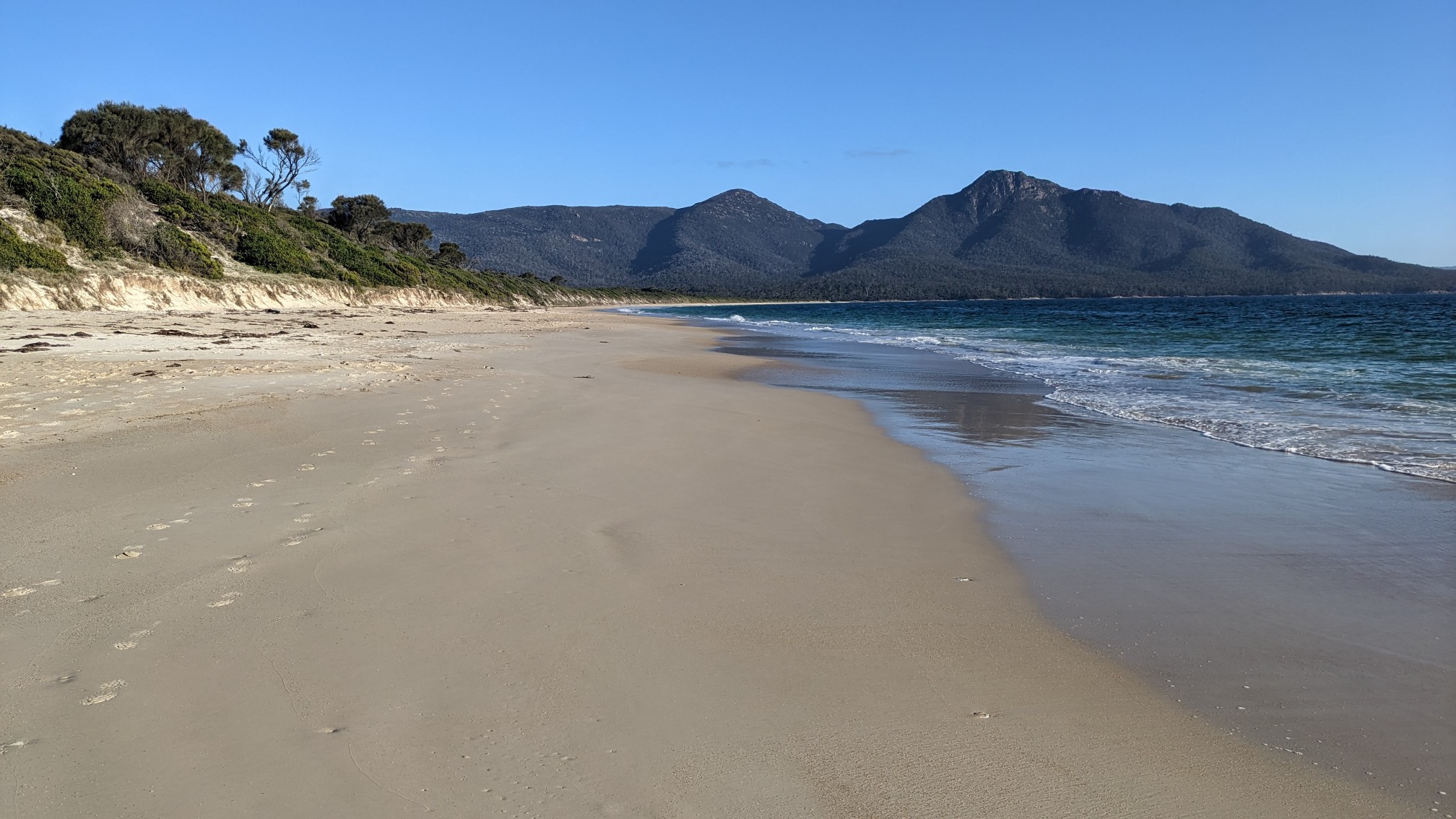
I think it was low tide, because the beach was really wide and easy to walk on the nice hard sand.
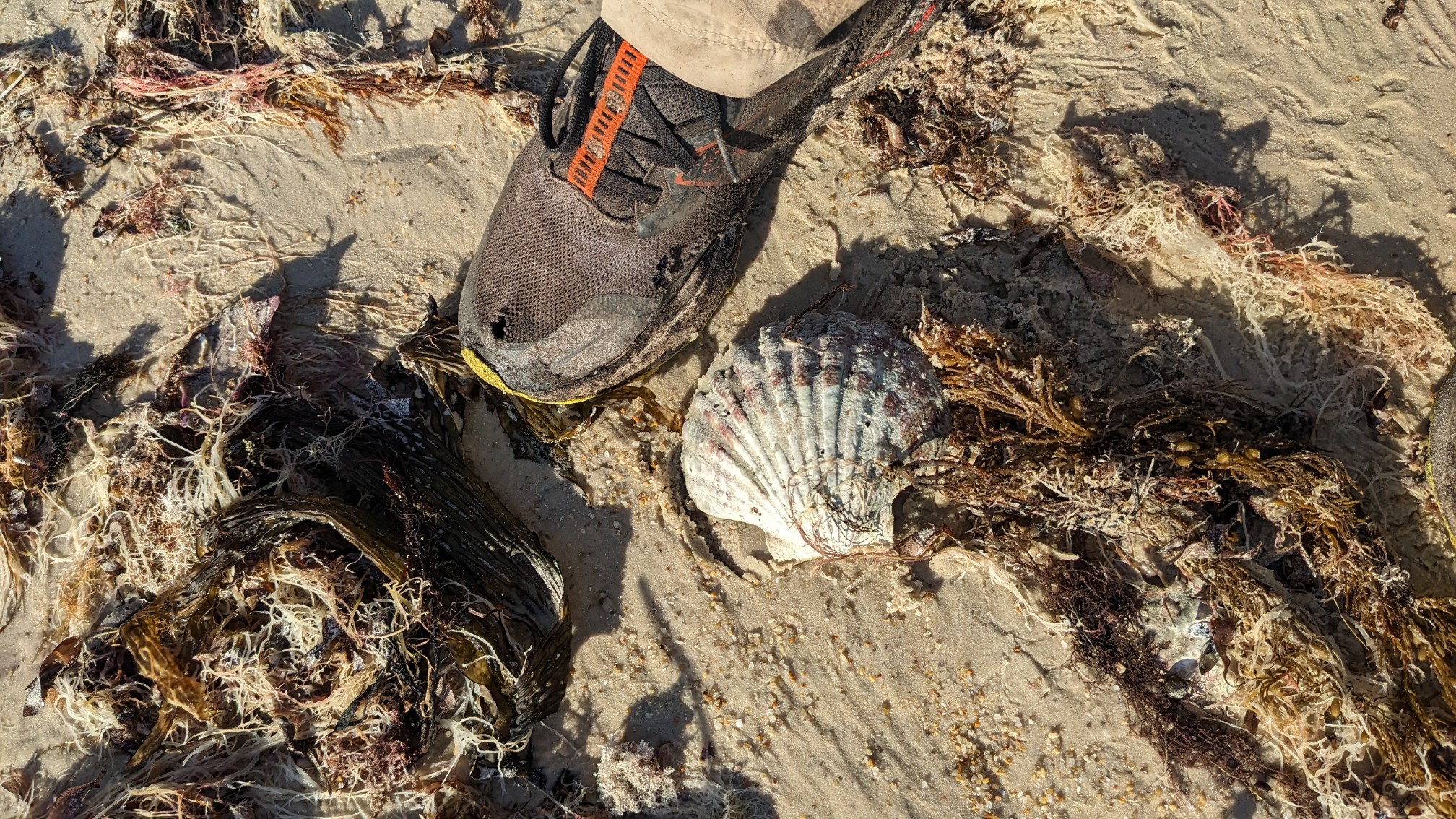
I came across one of the biggest seashells I have ever seen in the wild. Huge!
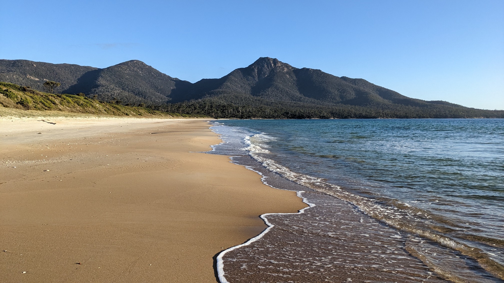
The waves on this side of the peninsula were pretty gentle, so I could walk right next to the water.
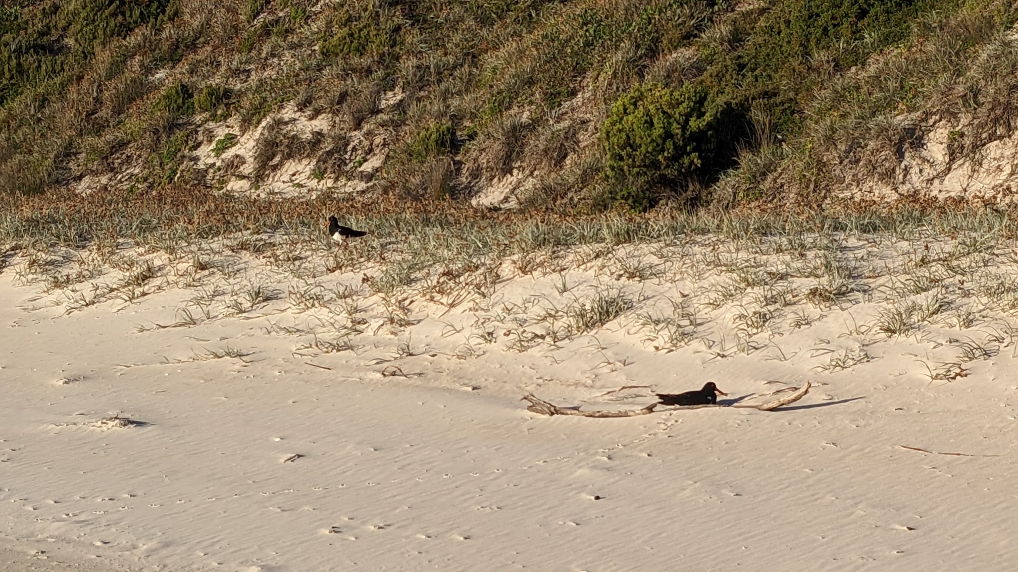
These birds must’ve had a nest here, because they went crazy when I got close, and after I walked by they refused to leave the area. Sorry for the disturbance, bird friends!
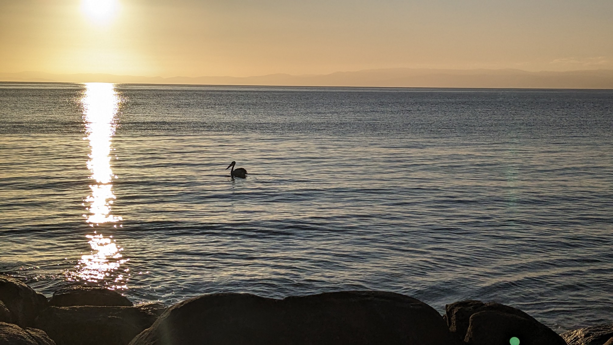
I hiked to the end of Hazards Beach, to the official campsite tucked away in the forest. As I was setting up my tent for the night, I witnessed this bird swimming along the shore. I think it was fishing! It had a huge long beak, and kept plunging its head in the water.
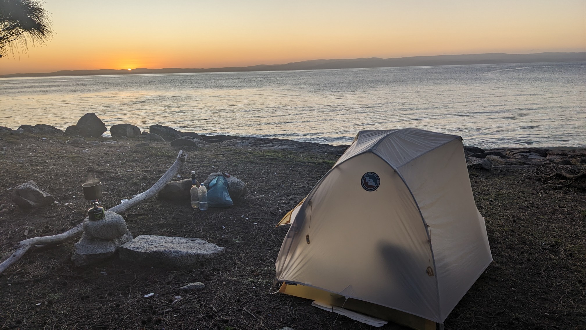
This is my final campsite in Tasmania, and it was a great one! Perfect weather and amazing sunset views.
Tomorrow I will finish the other half of the Freycinet Circuit, and then drive back to Hobart.