Monday May 1, 24.9mi/40.1km
Landing Strip on Browns Rim (148.9/4920ft) to Fiddler Cove Canyon (167.9/3960ft) (UT)
+3.4mi Hite, +1.4 Red Benches alt, +1.1 routefinding
I slept great in my little spot hidden in the bushes, and I slept later than I usually would, starting down the trail/road at 7:30am. I noticed even at that early hour it was already 70F/21C.
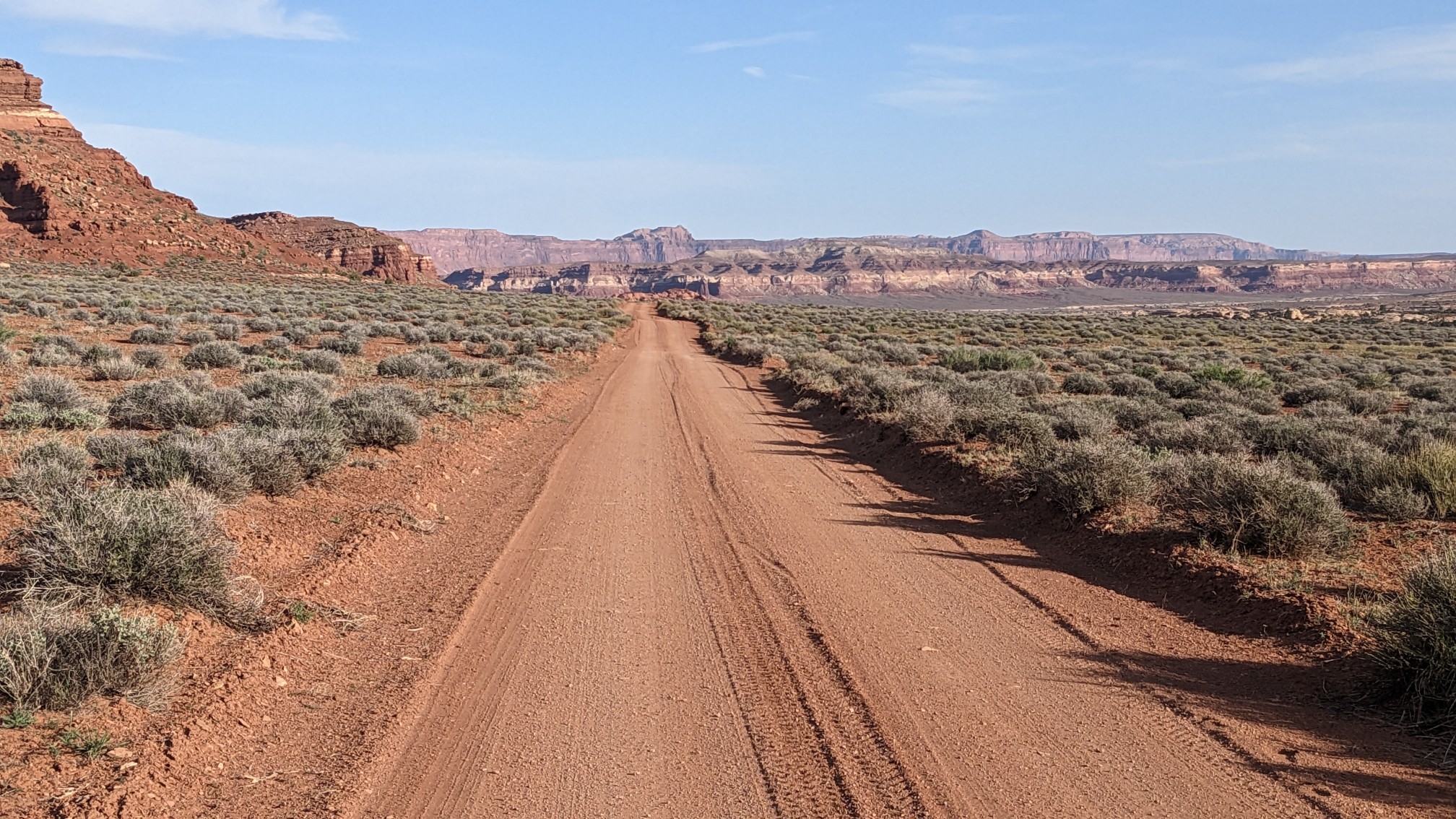
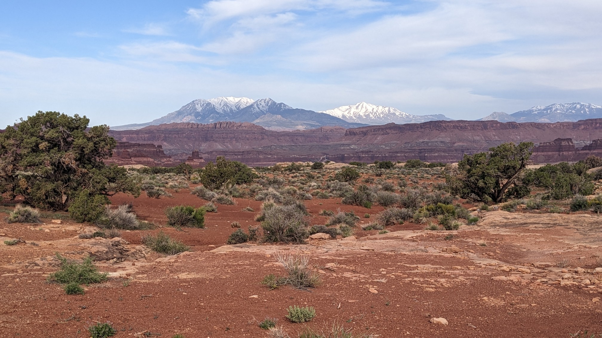
I walked for an hour on dirt roads, and it was exciting to see the Henry mountains getting even closer.
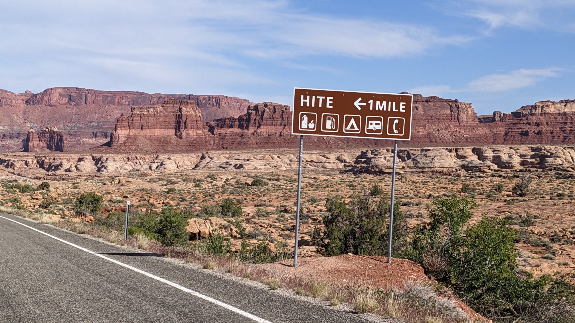
I turned onto the paved Highway 95 for 5 minutes before quickly leaving it, heading toward the old Hite Marina for some water refilling.
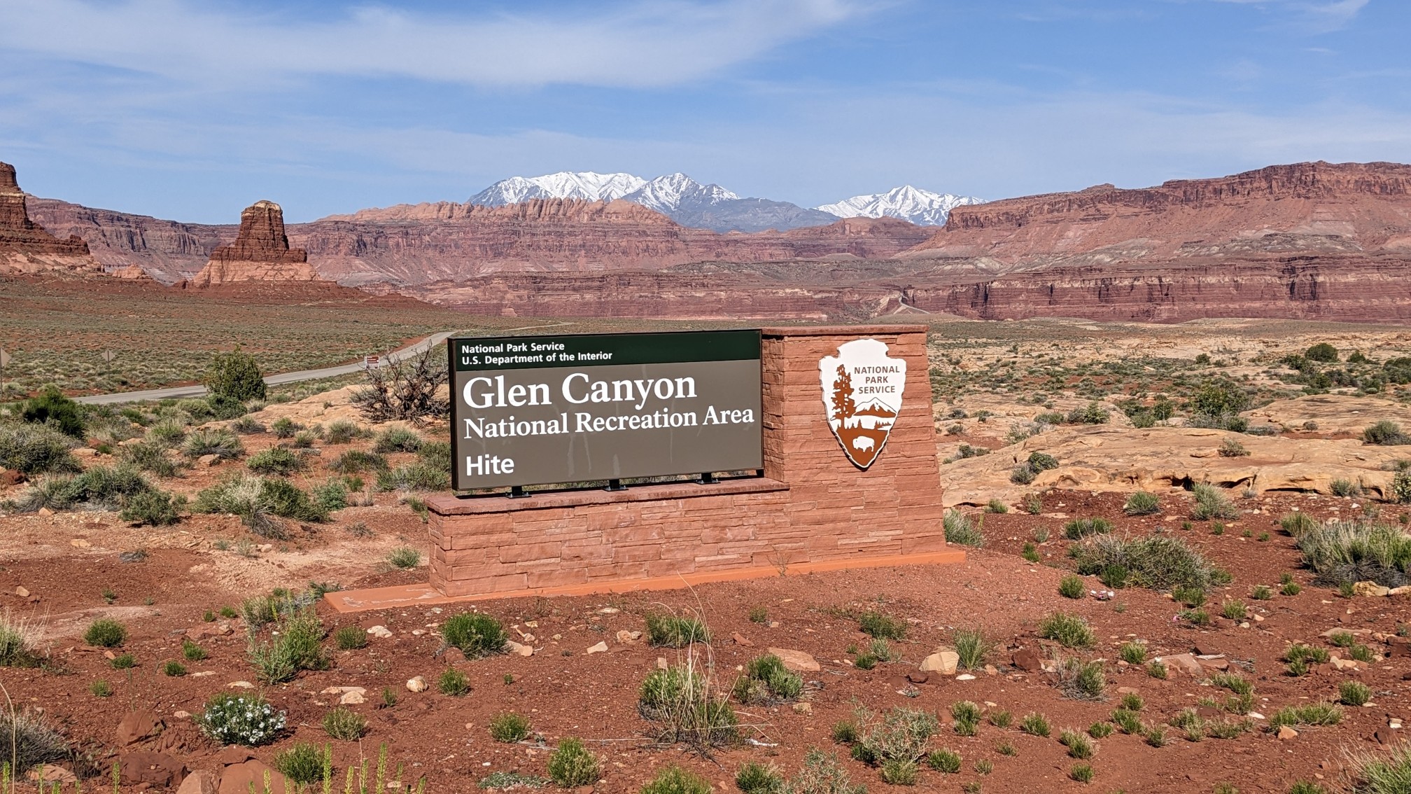
I was now in the Glen Canyon National recreation area! This area is based around Lake Powell, which was created when the Glen Canyon dam was built in the 1960s.
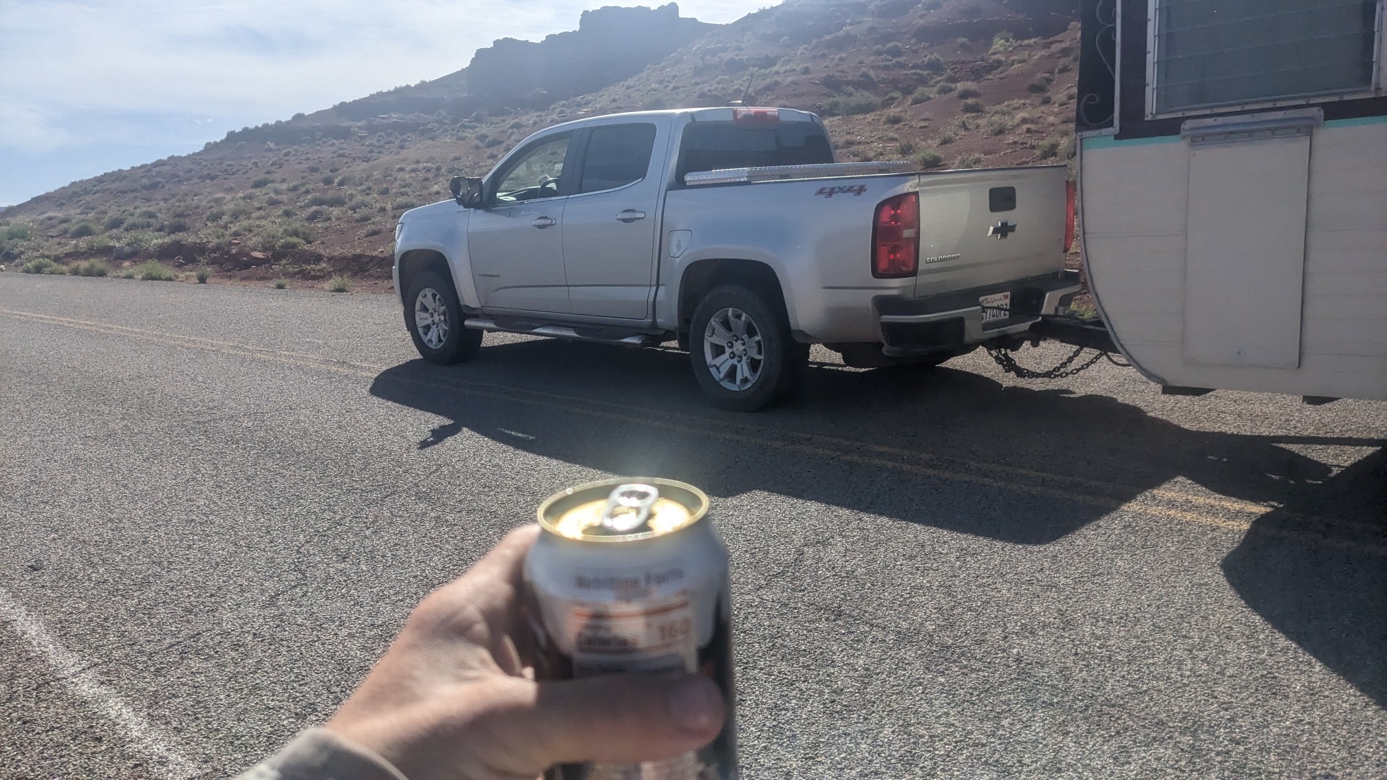
It was a 30 minute walk along a hot paved road, and I would have hitched a ride, but no cars were going my direction. A few vehicles were headed the opposite direction, and one guy stopped and gave me a liter of water and even an ice-cold root beer!
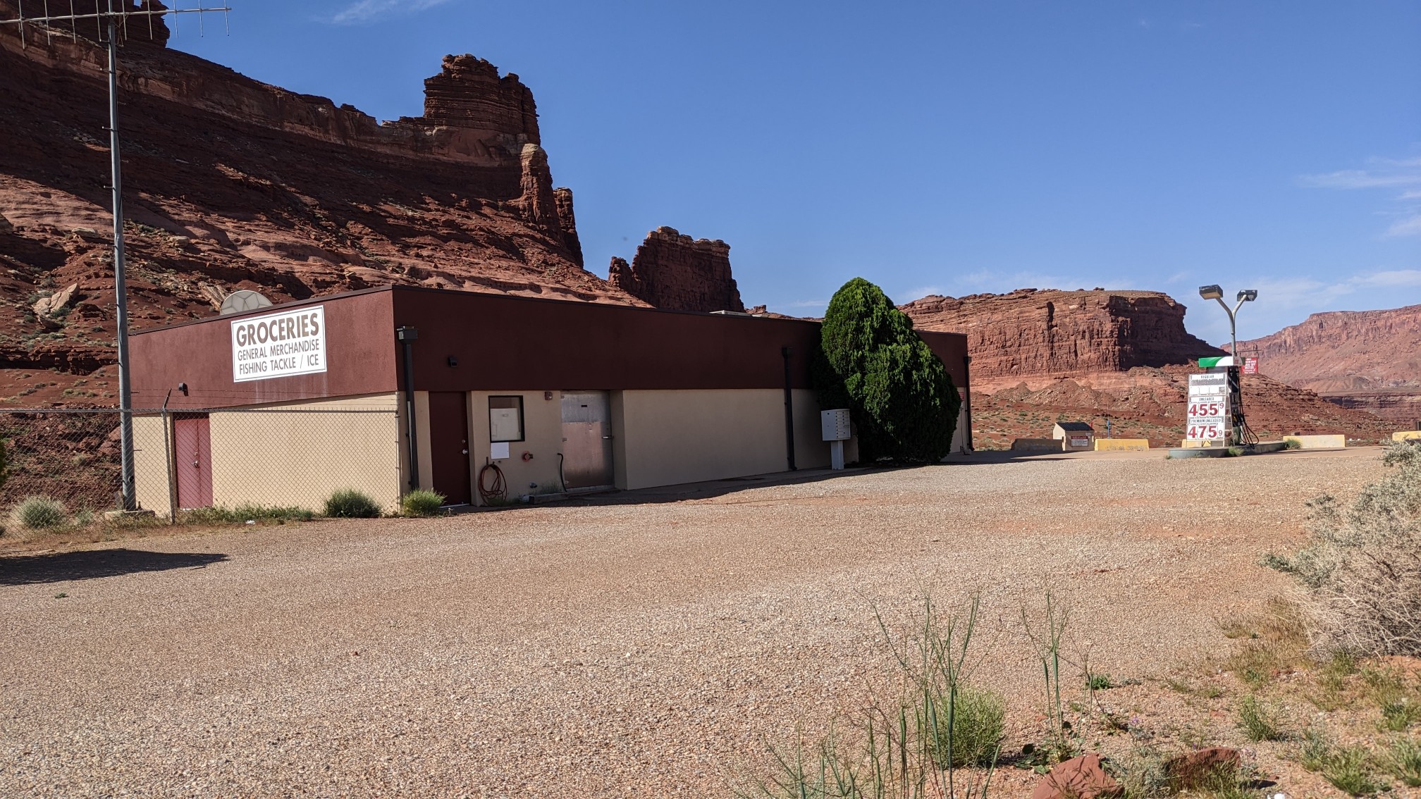
The little general store that used to serve the marina customers had clearly been closed for a few years at least. Since there’s no more lake in this area (it has receded), of course there’s no more marina either.
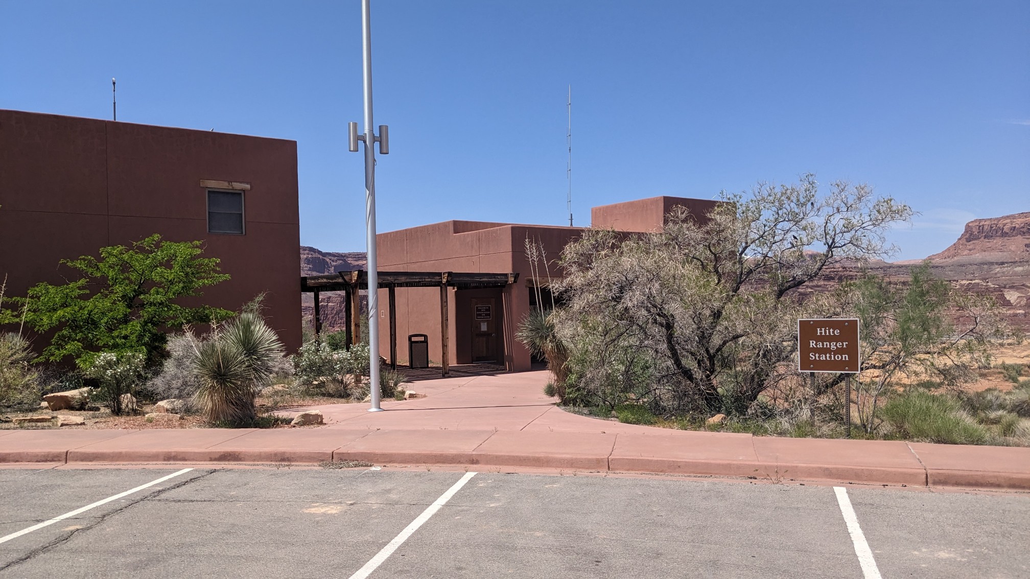
Across the street was the Ranger station and public bathrooms.
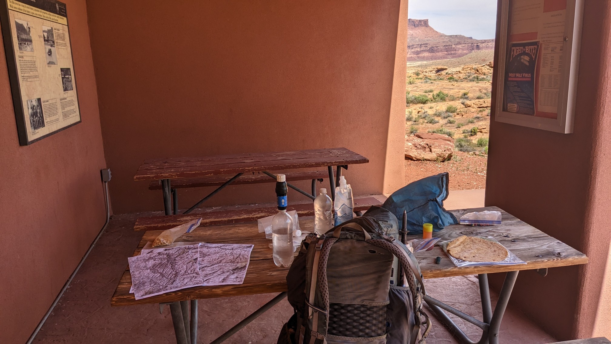
I spread out my stuff on one of the shaded picnic tables and hung out for an hour. I recharged my phone and headlamp, drank 2 liters of water and refilled another 3 liters, and did some planning with my maps.
After consulting with a couple of friends on my inReach device (thanks Mark and Rich!) I decided that the upcoming Dirty Devil River might be cross-able, so I hiked out. I was able to get a ride back to the main highway with a pickup truck going my direction. The driver warned me that the Dirty Devil River sometimes ran high and it could be uncrossable. I guess I’ll find out in 15 miles! I walked a mile on the paved highway, and crossed over the Colorado River.
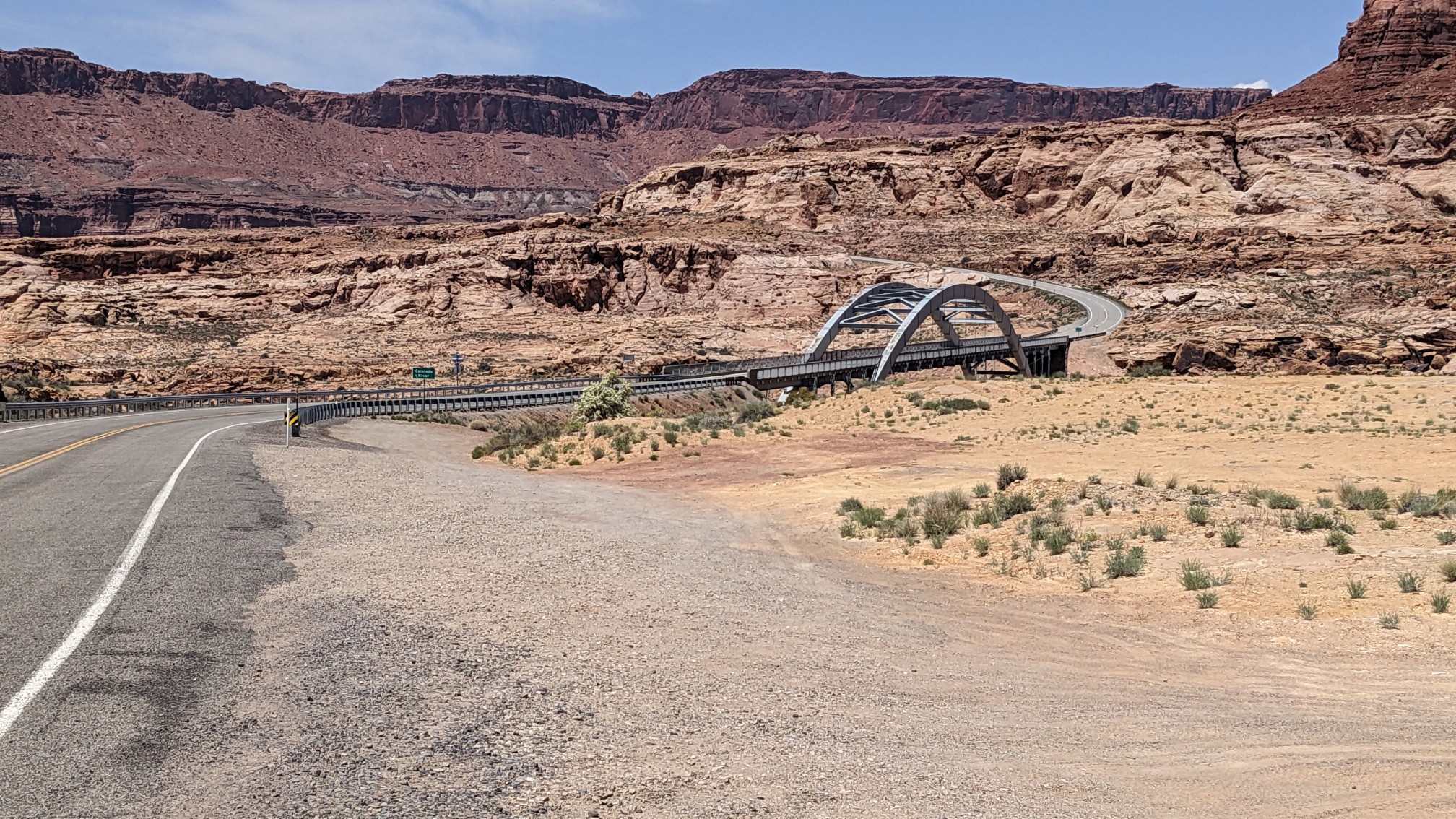
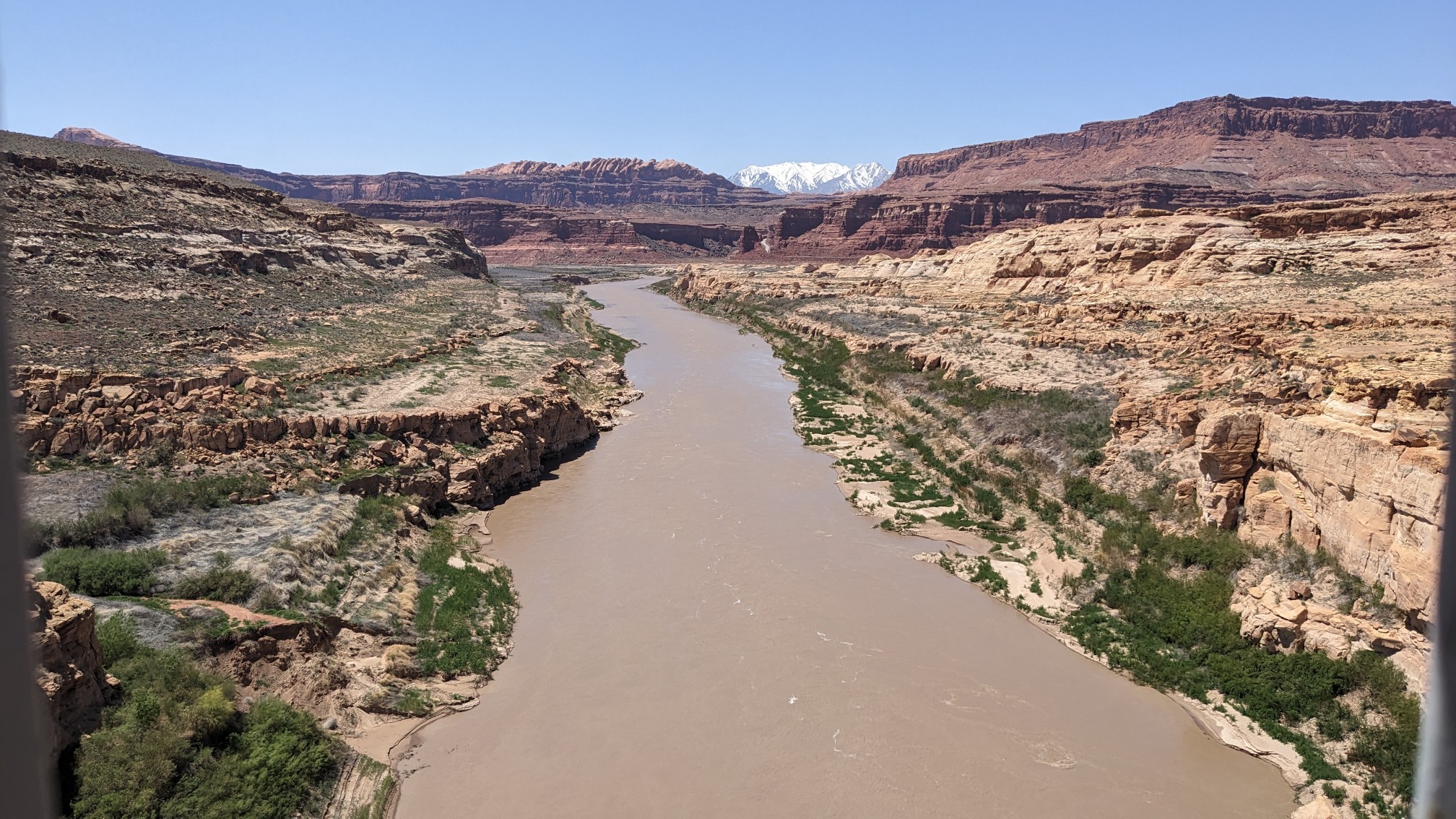
I walked a dirt road for 4 miles up Rock Canyon, on a very hot (85F/29C) afternoon. Blech.
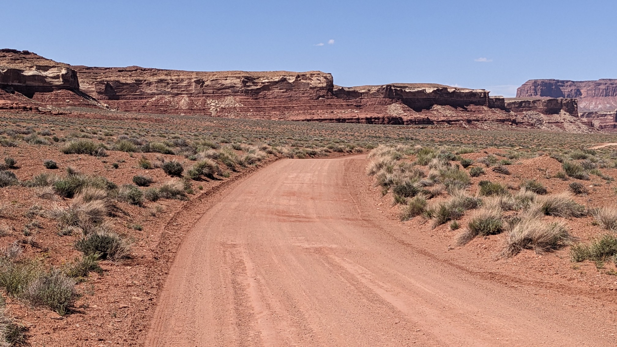
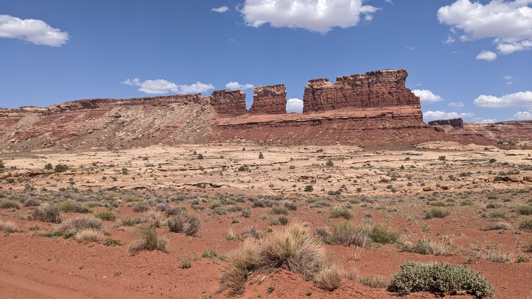
The road turned a different direction but I continued up Rock Canyon using the wash. I loved seeing all the neat rock formations and cliffs.
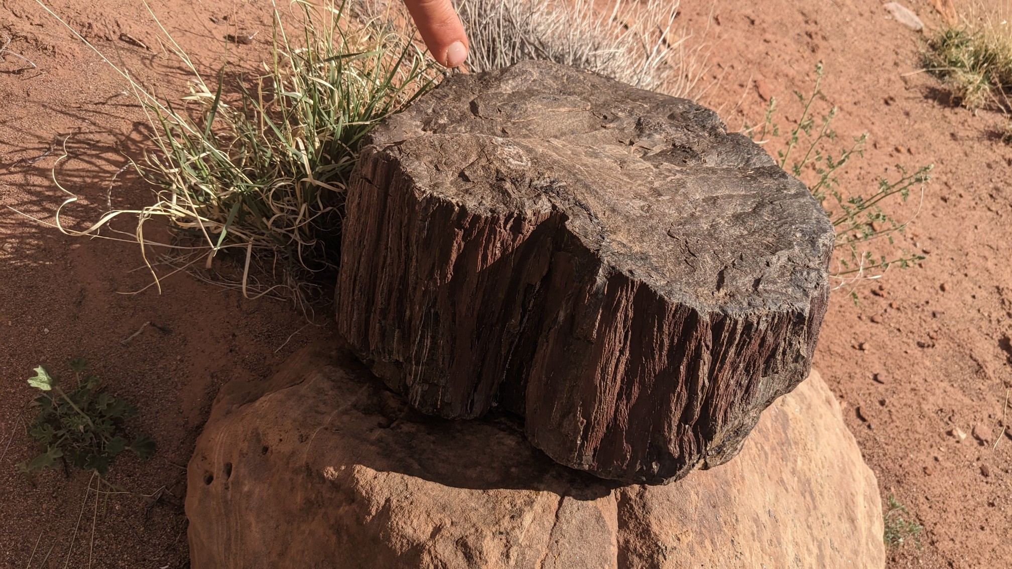
And even this amazing little piece of petrified wood!
To get out of Rock Canyon by scrambled up an easy slope to….a class 4 climbing section, which contained a chimney.
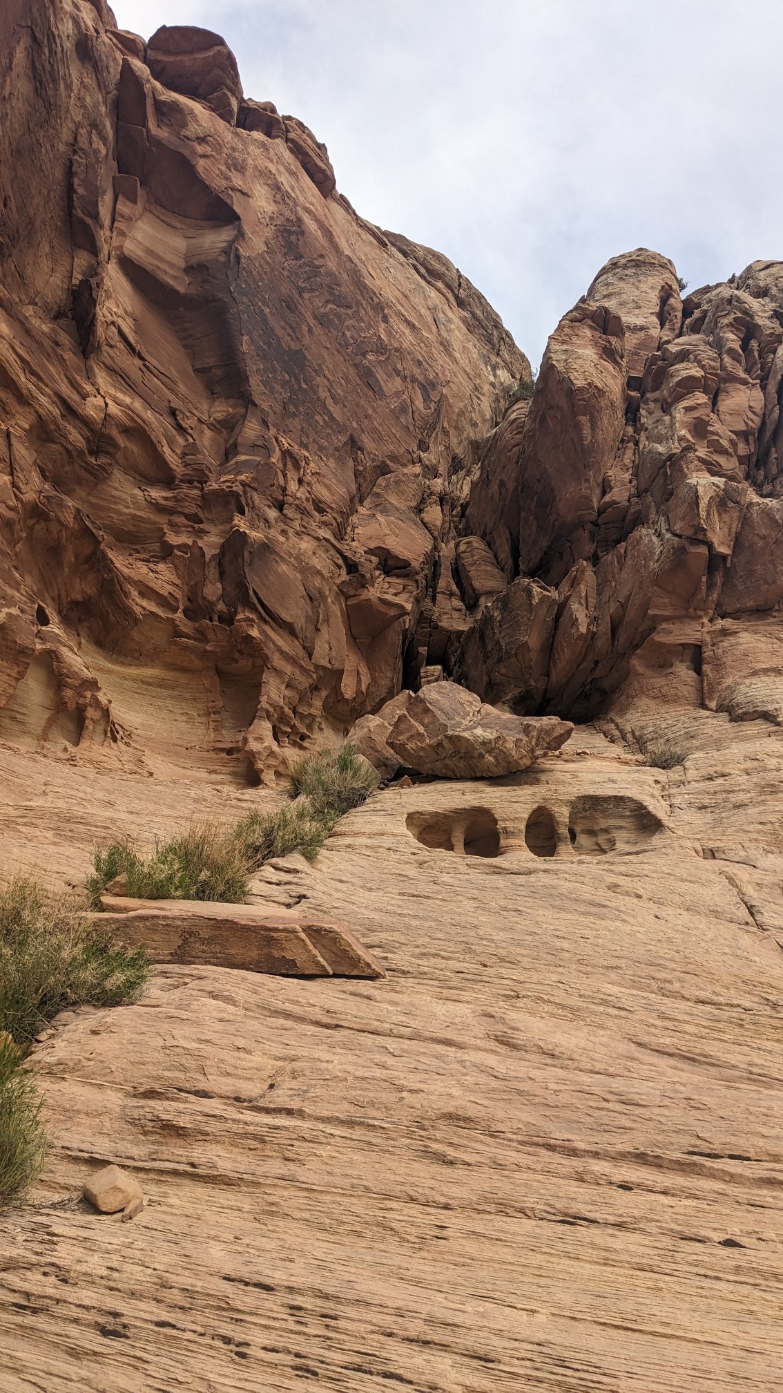
It was narrow, so I had to take off my pack and attach it to a short rope, and haul it up after me. It was grunty but do-able.
The view from on top looking back to where I had just hiked.
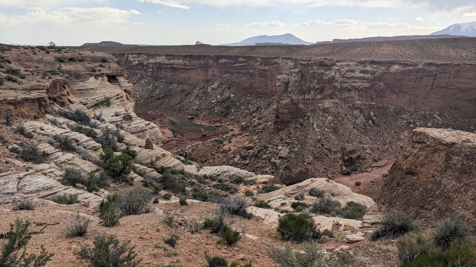
Looking ahead, I could see the whole upper plateau area, which is called the Red Benches.
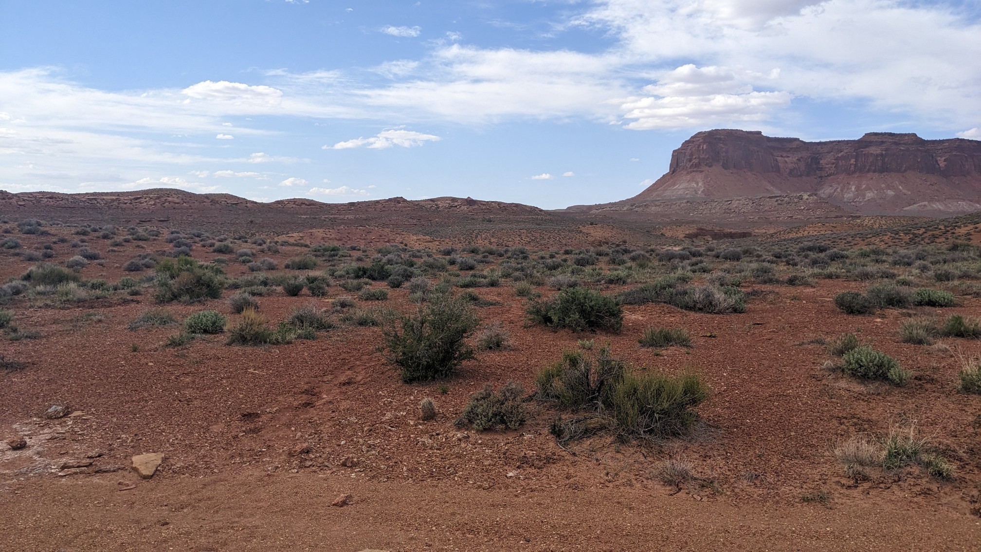
I walked across this plateau for seemingly forever, across little high spots….
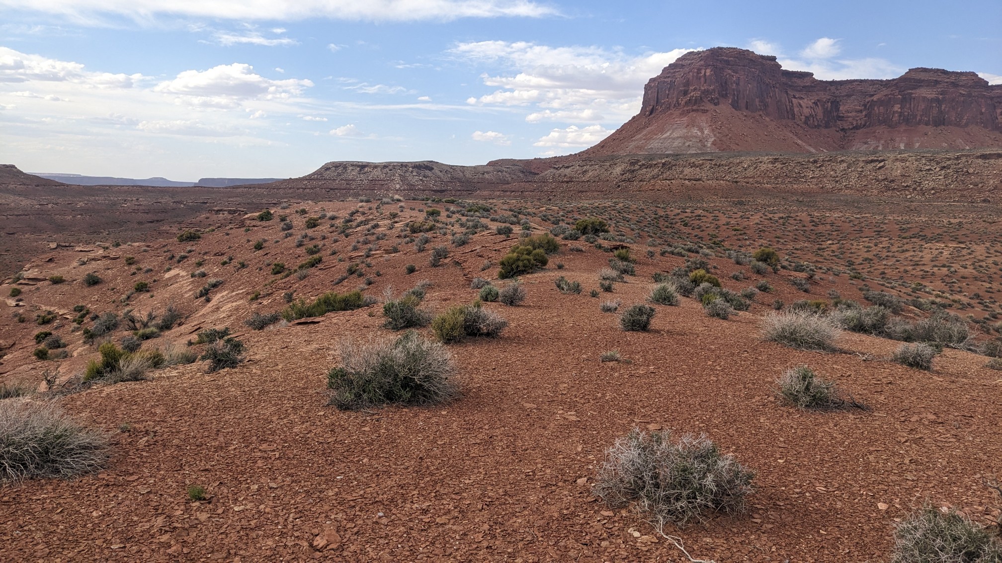
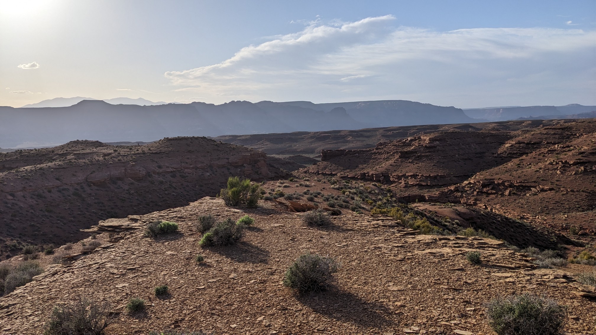
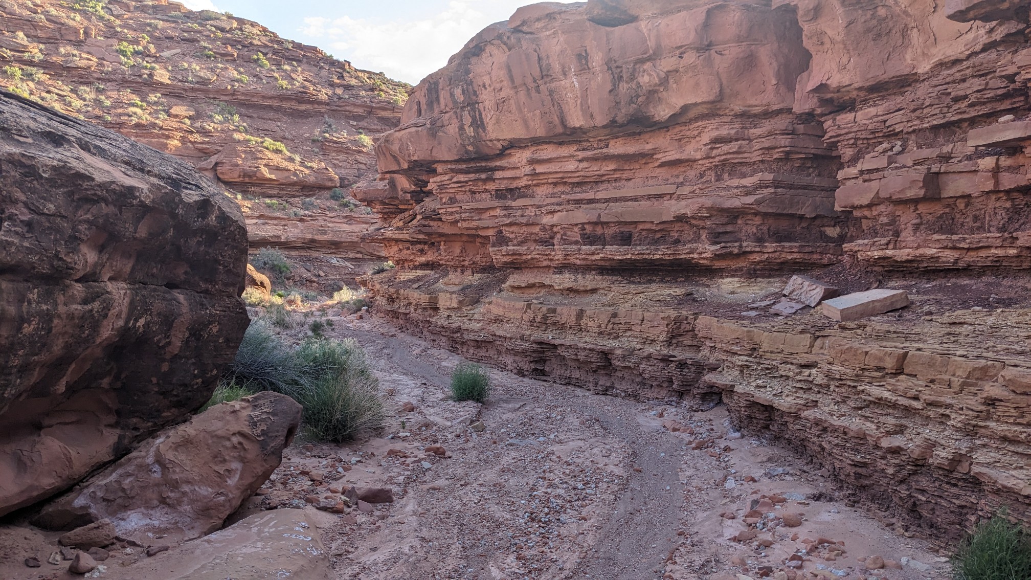
…. And sometimes through short little washes.
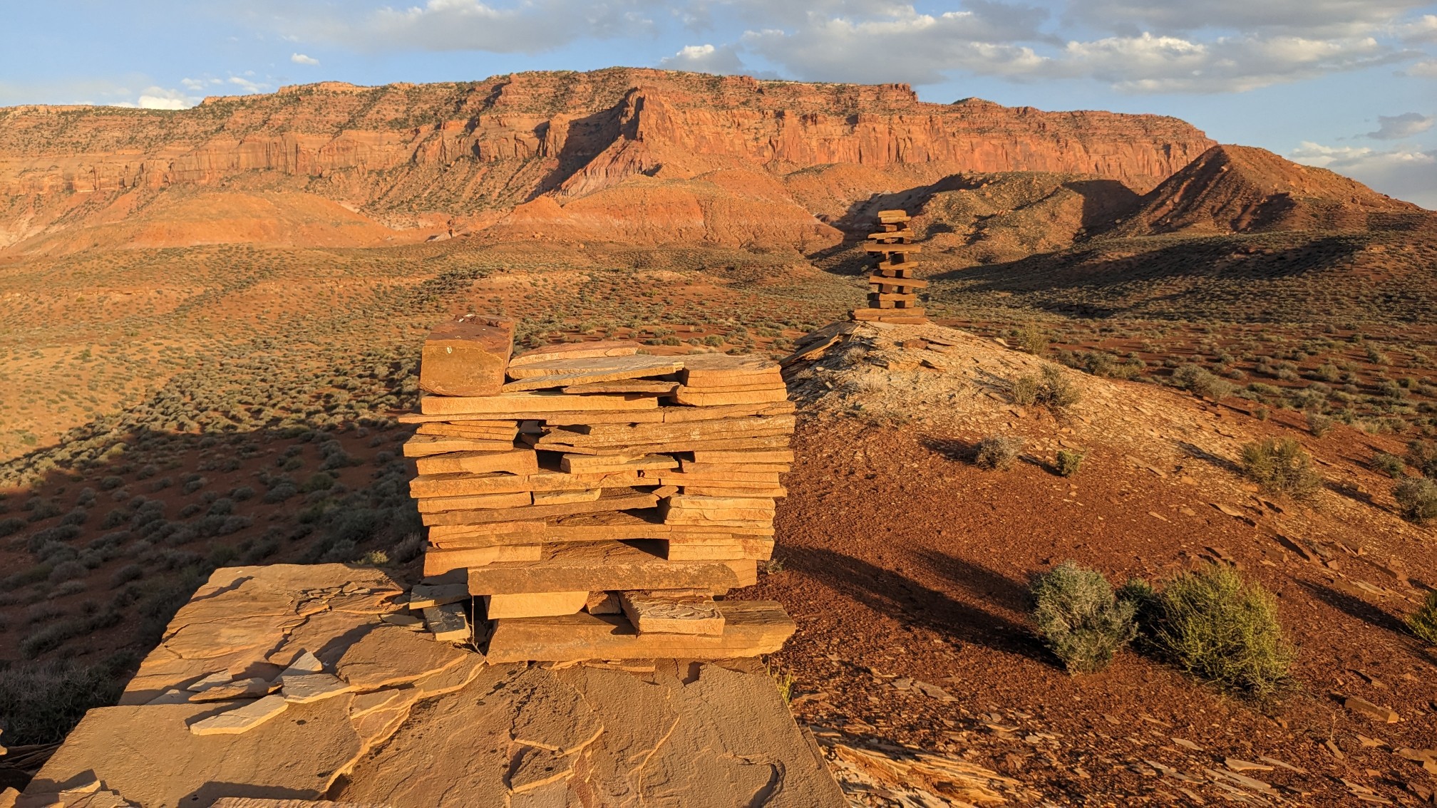
One of the high spots contained a very unique cairn. My map called it the Jenga Cairn.
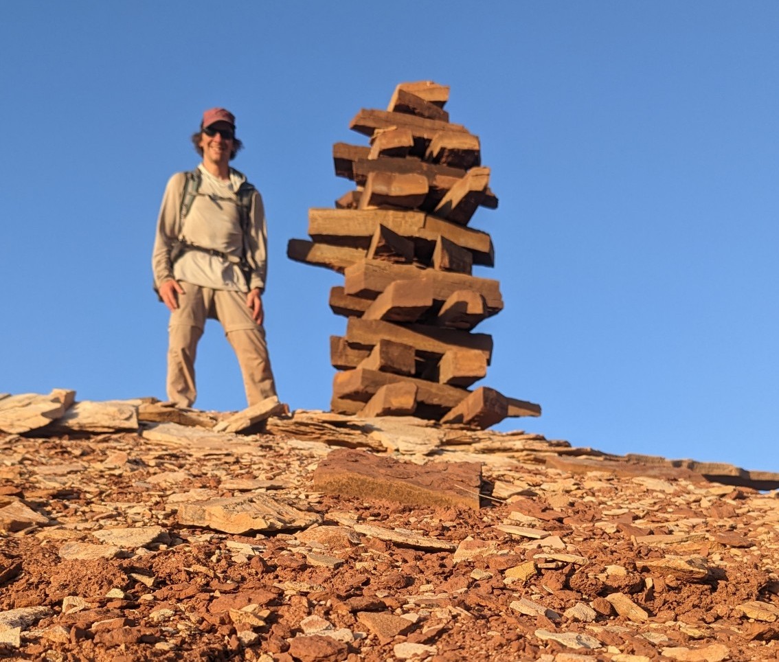
Someone had built another very square Cairn nearby. It was weird seeing such time-consuming things being built way out in the middle of nowhere.
Finally after 3 hours of walking, I was starting to descend into Fiddler’s Cove Canyon. It was now after 8pm and starting to get dark, so I didn’t waste any time getting down.
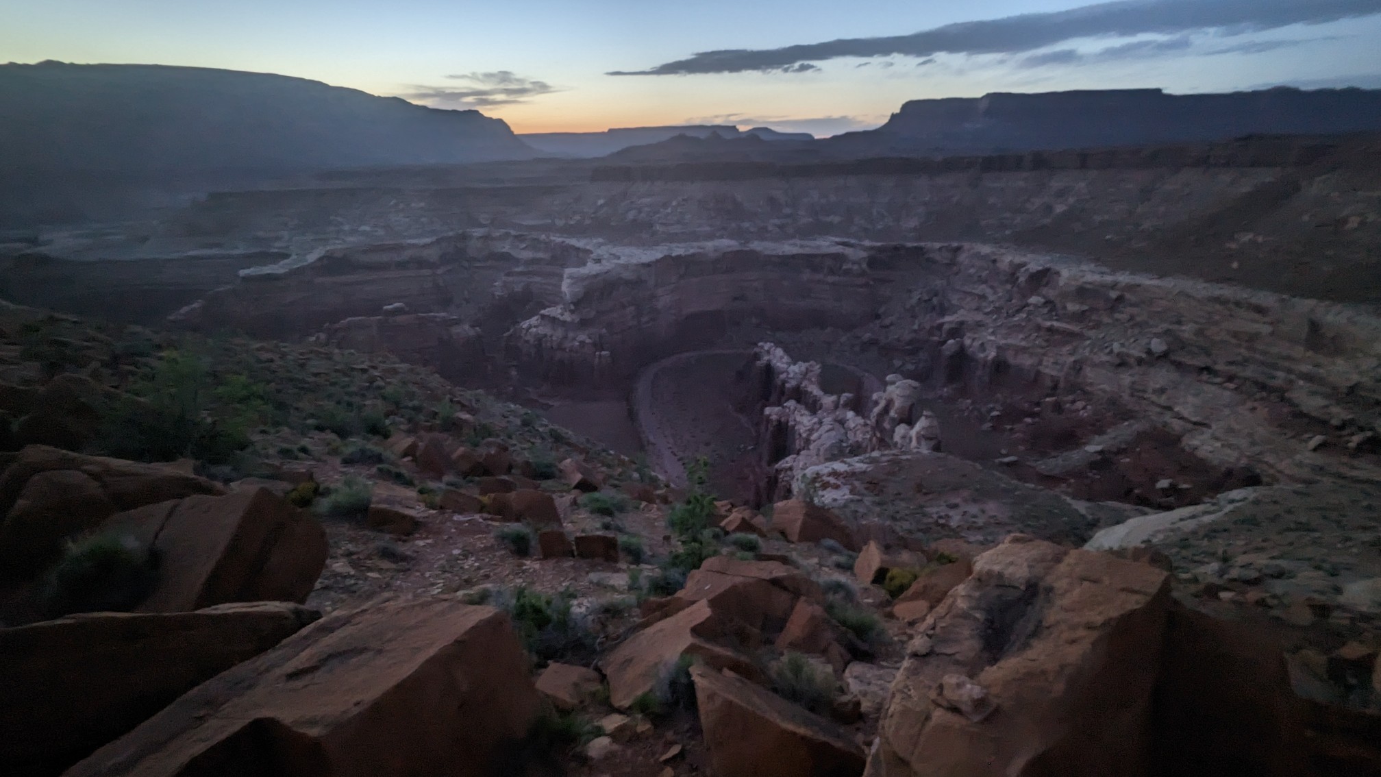
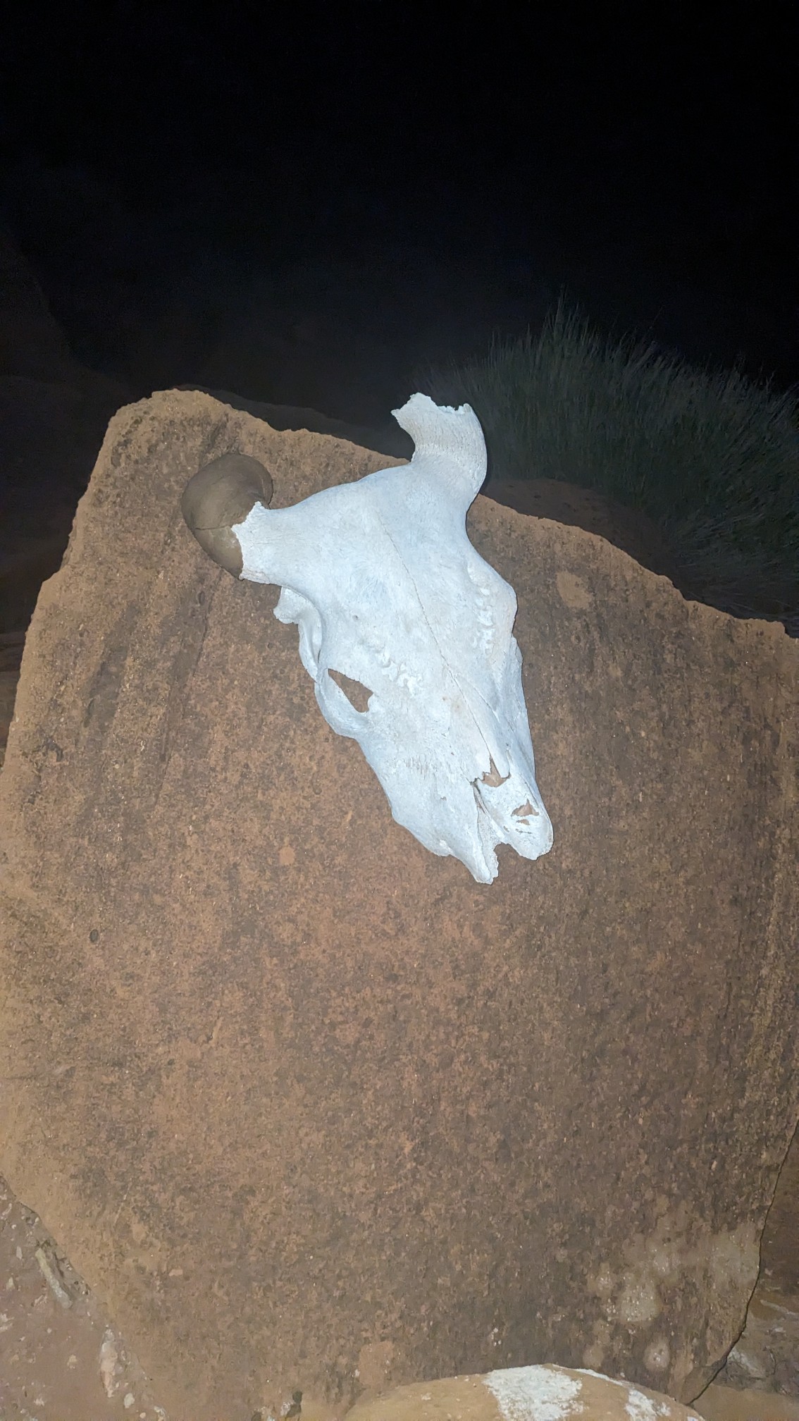
I followed the cairns downhill in the fading daylight, and near the bottom I came across this cow skull in the dark, which made it much more creepy.
I quickly put up my tent, ate some food, drank a little bit of water (I’m trying to save some in case I have to backtrack tomorrow across the dry plateau), and was asleep by 10pm. A long, hot day!
Interesting finds in this area! Love the jenga cairns!
Cow skull is an inspiration for a Georgia O’Keefe painting. 😉
I’ve been to her winter home, in Ghost Ranch NM, on the Continental Divide trail!