Tuesday May 2, 25.3mi/40.7km
Fiddler Cove Canyon (167.9/3960ft) to Upper Poison Spring Canyon (187.5/4680ft) (UT)
+1.2mi dirty Devil scouting, +4.0mi dirty Devil high water alt, +0.5mi looking for spring
I knew it was going to be hot again today so I started early at 6am in the nice cool temperatures.
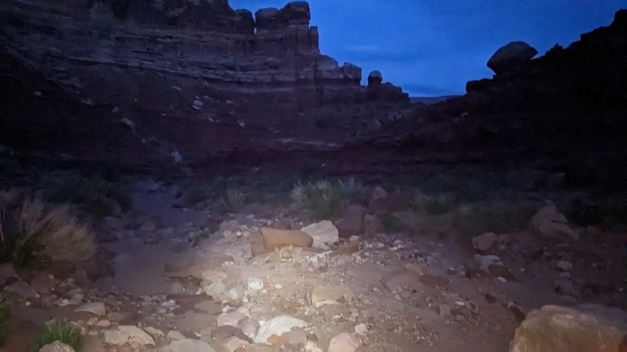
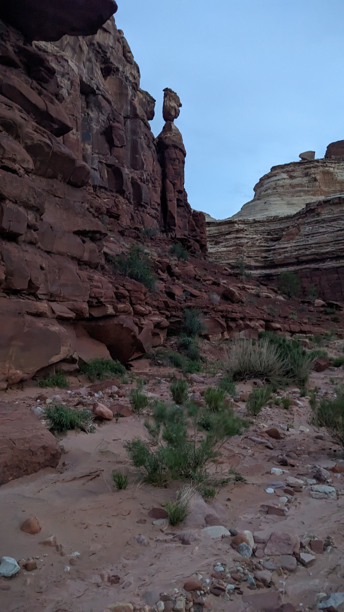
The rock formations in Fiddler Cove Canyon were cool, this one looks like a statue watching from above.
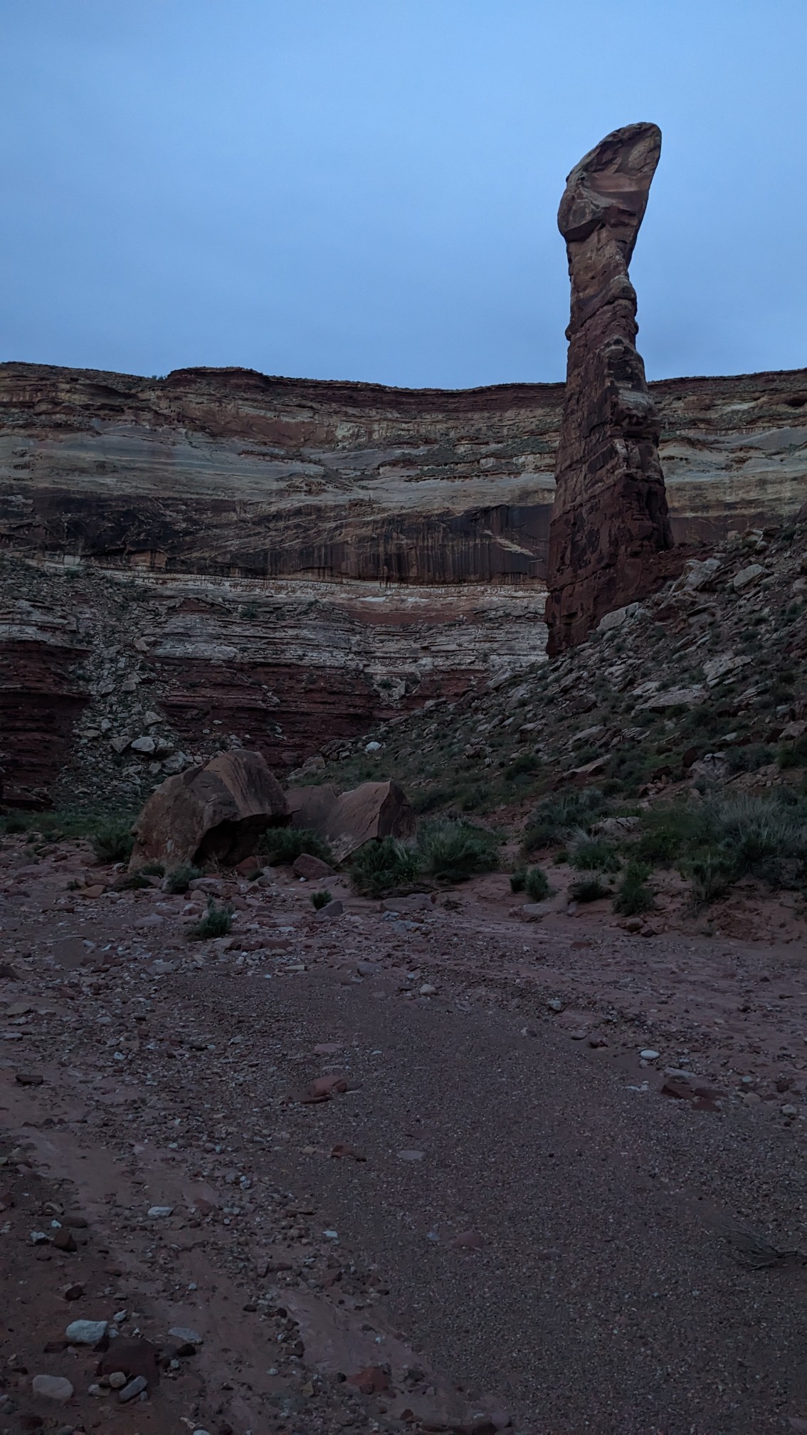
I believe this one was called “the bowling pin.”
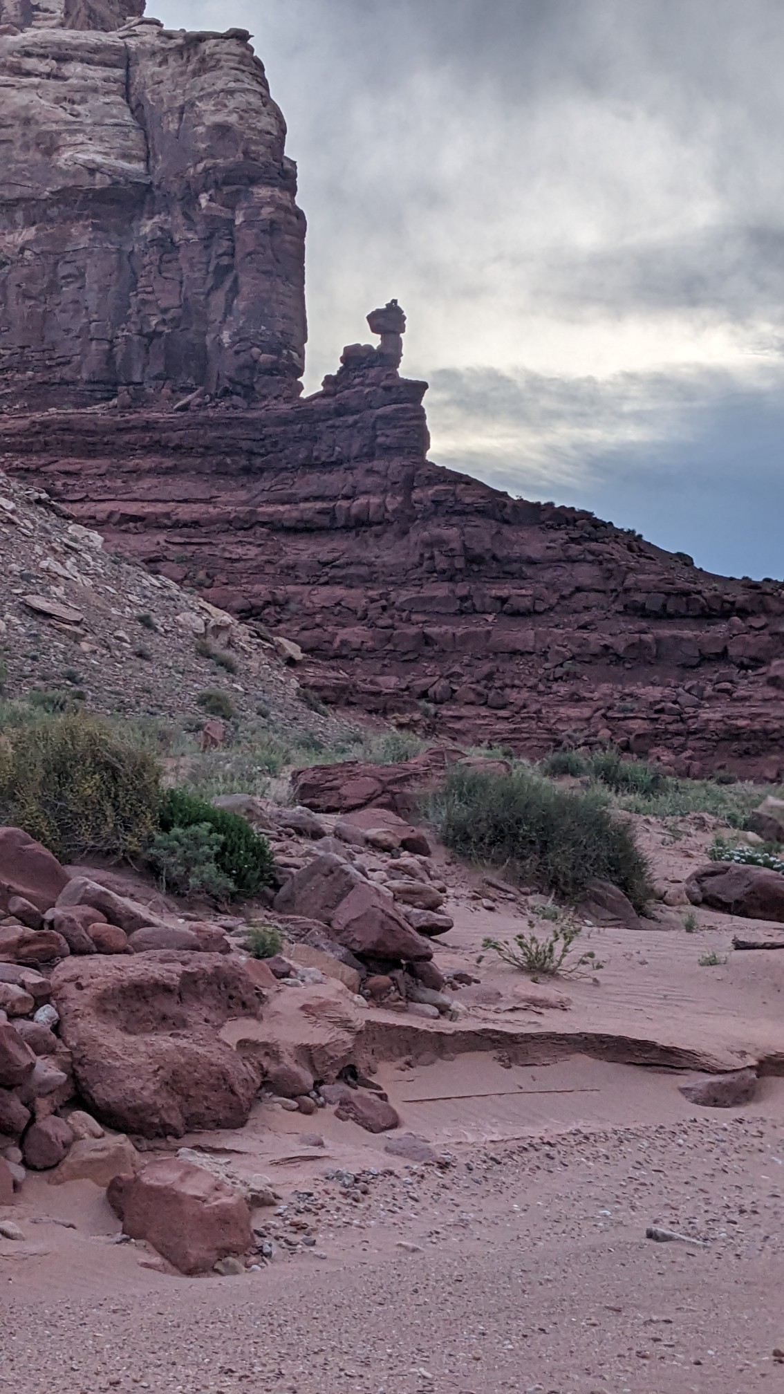
This one wasn’t named on the map, but I called it the lobster tail.
Within 30 minutes I was at the Dirty Devil River, and I poked around its shores and even walked out to a little rockbar island.
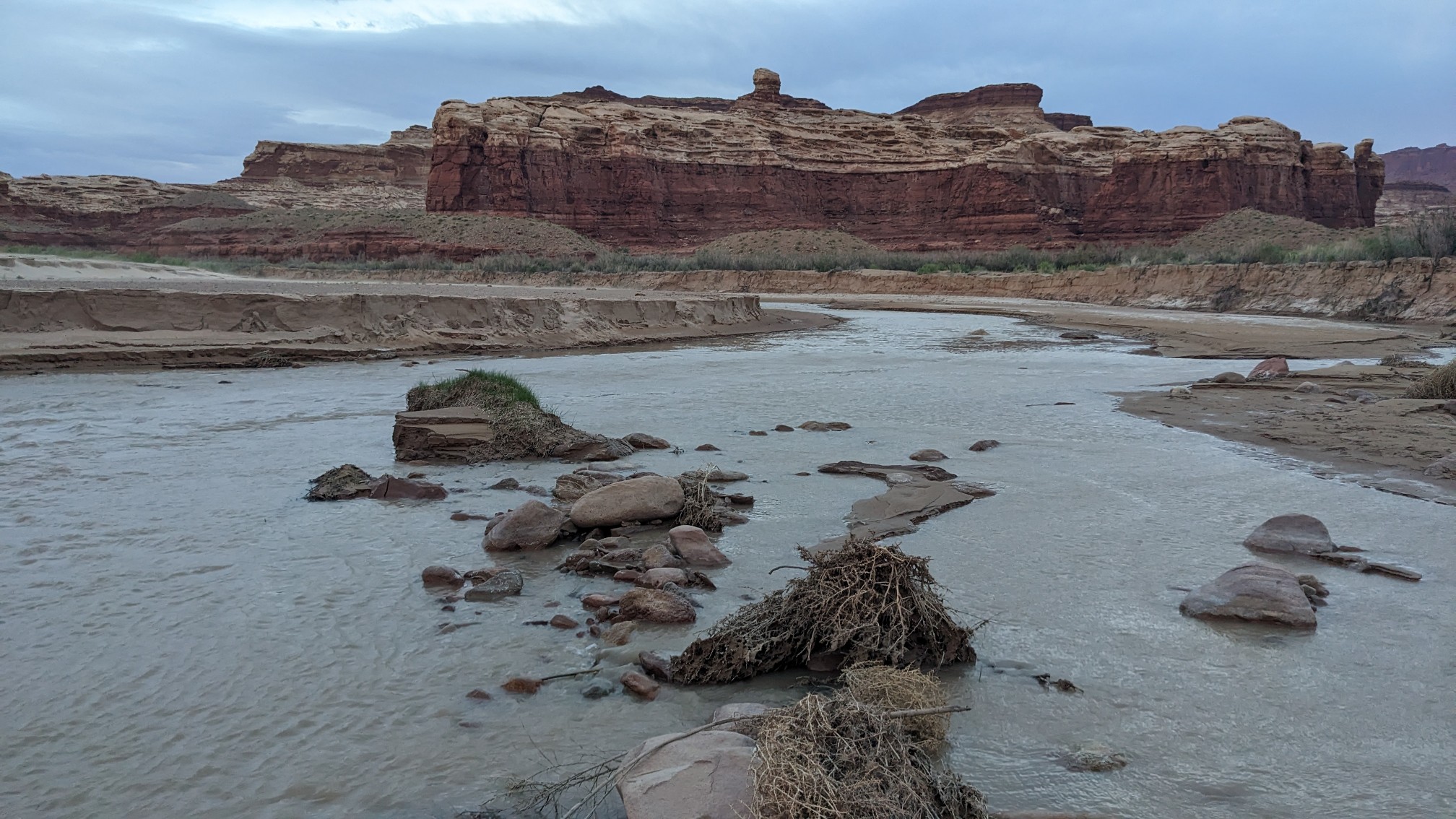
I judged it to be very crossable, as I couldn’t find any spot that was deeper than my knee. I did notice lots of quicksand though.
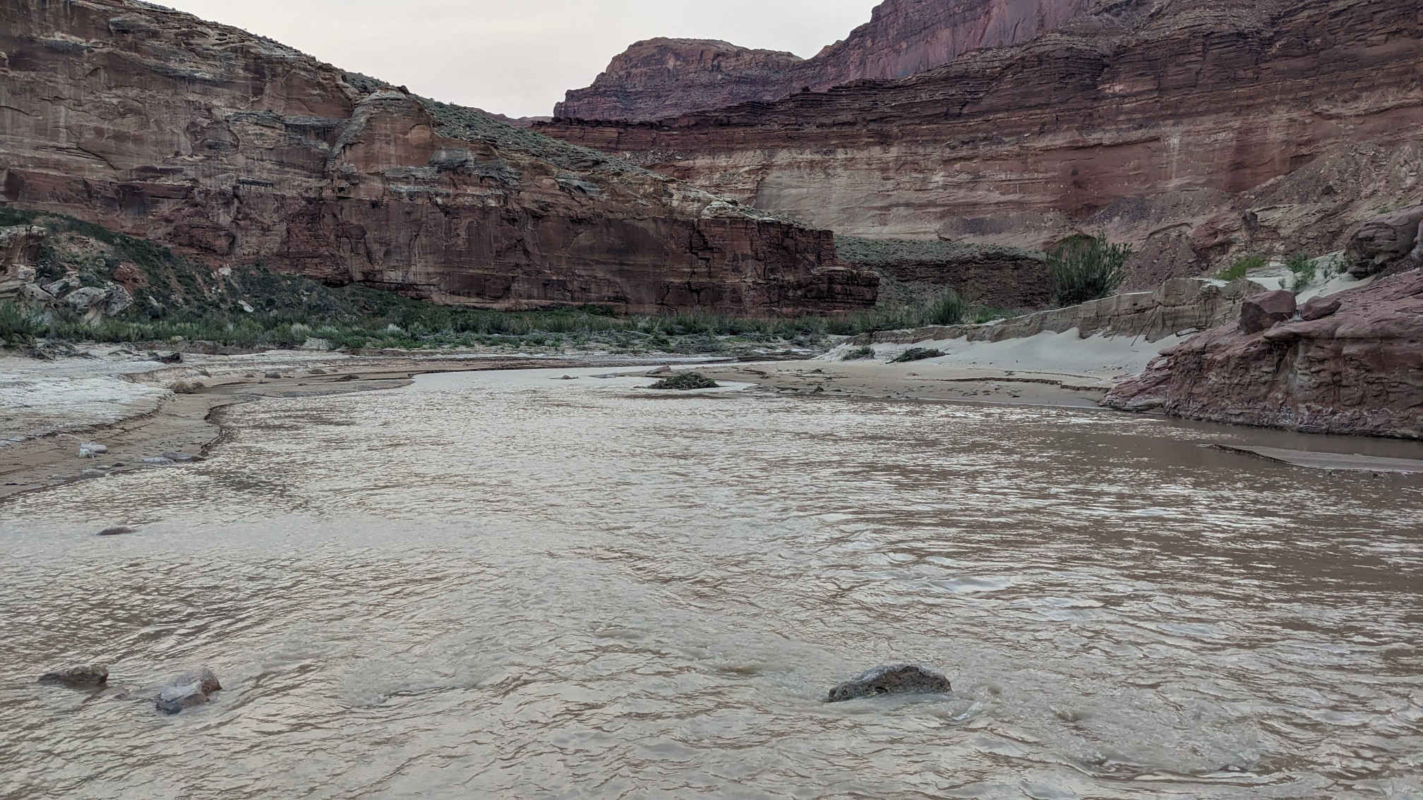
The usual Hayduke route follows this river upstream for about 5 miles, crossing it probably a dozen times, and even walking in the river. I didn’t feel like dealing with that much quicksand, so I took the high water alternate route, which goes up Hatch canyon.
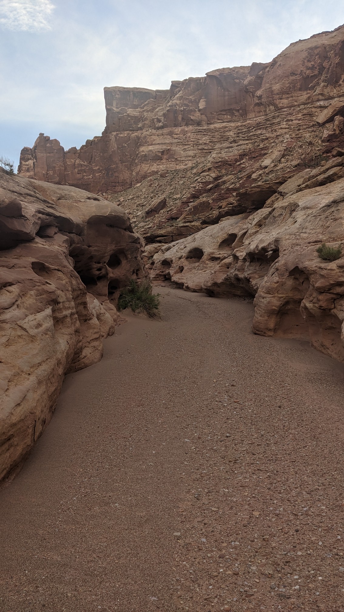
It was easy walking and it had its own neat little rock formations to look at.
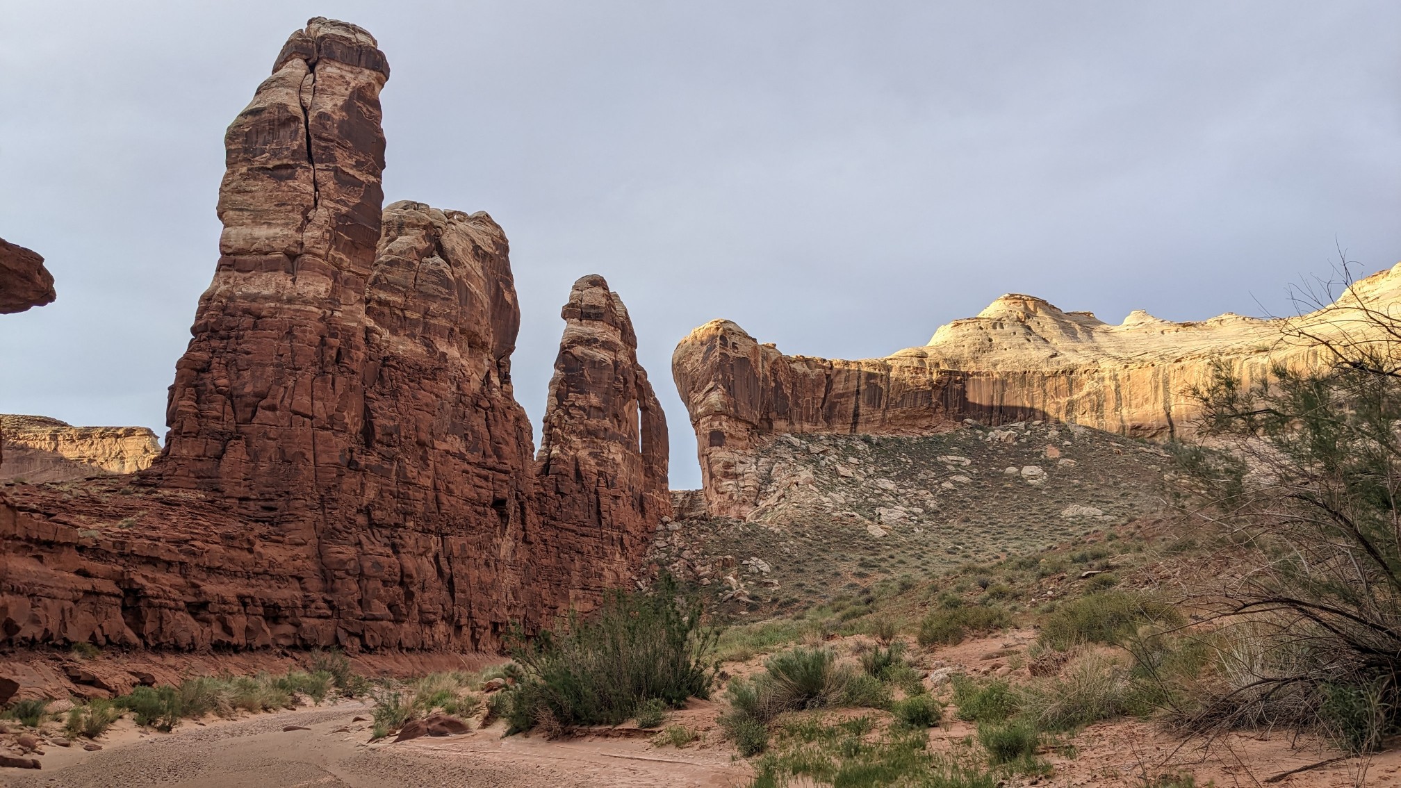
At one point I ducked under these two boulders, but that was the only obstacle in the whole canyon. There were no pouroffs to detour around, or tricky navigational spots.
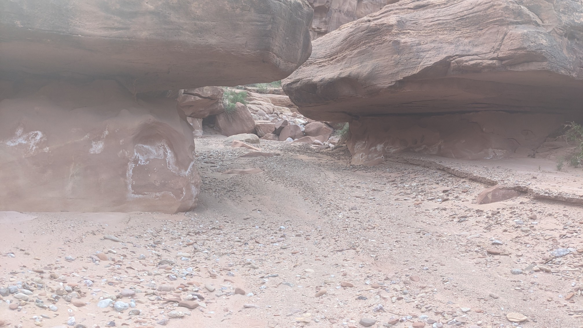
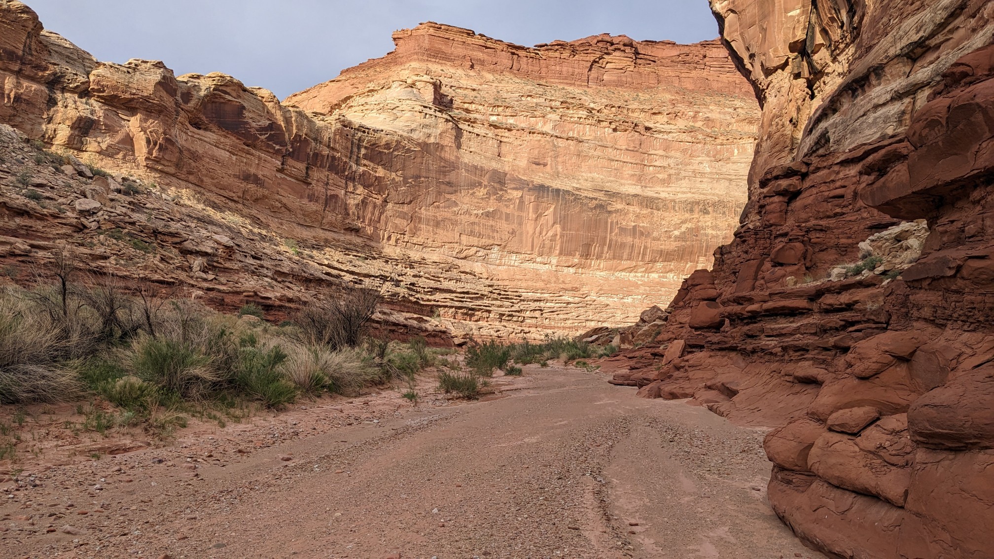
Canyons always look nicer in the morning light.
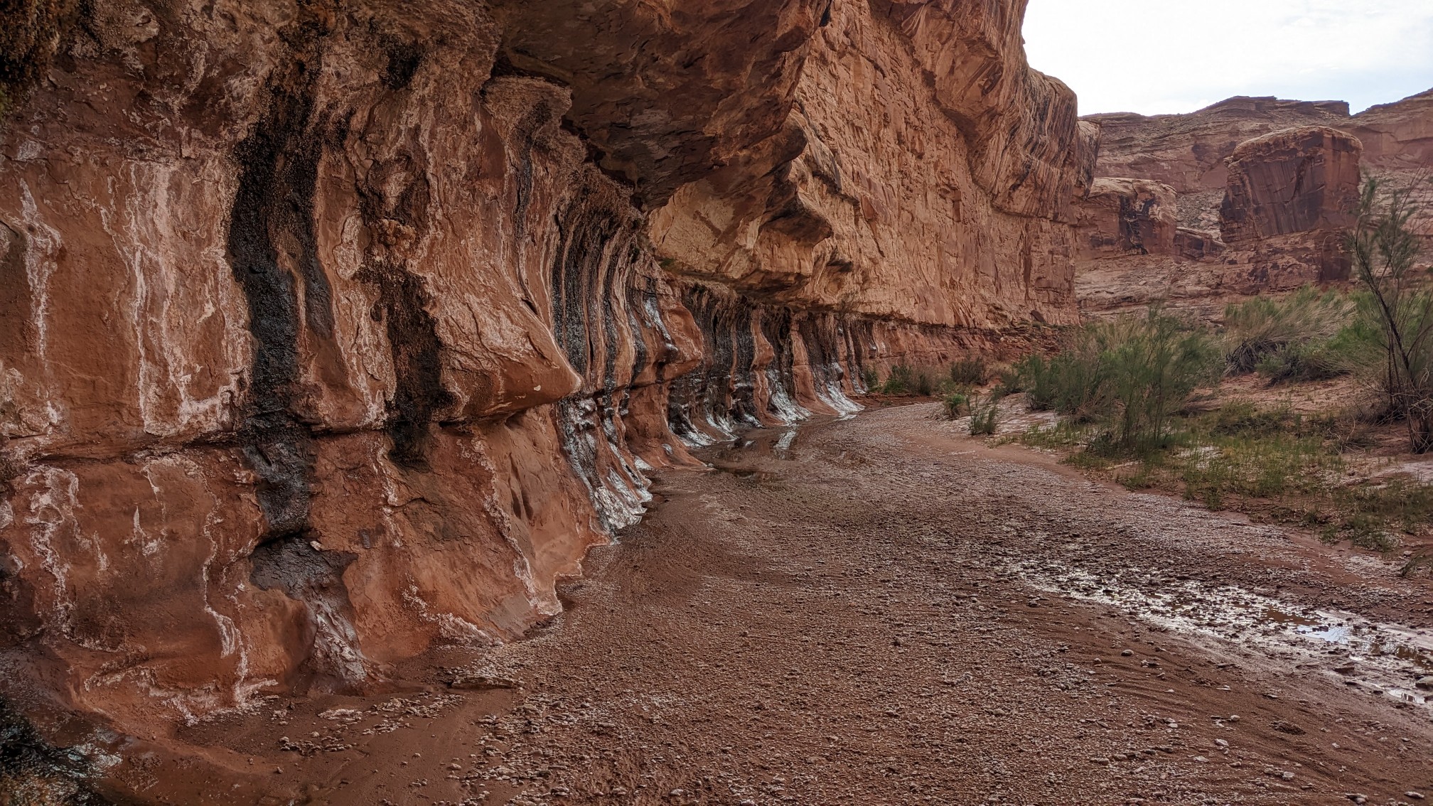
Near the top of the canyon, I found this wall with all these springs coming out of it. And ferns were growing out of each little spot!
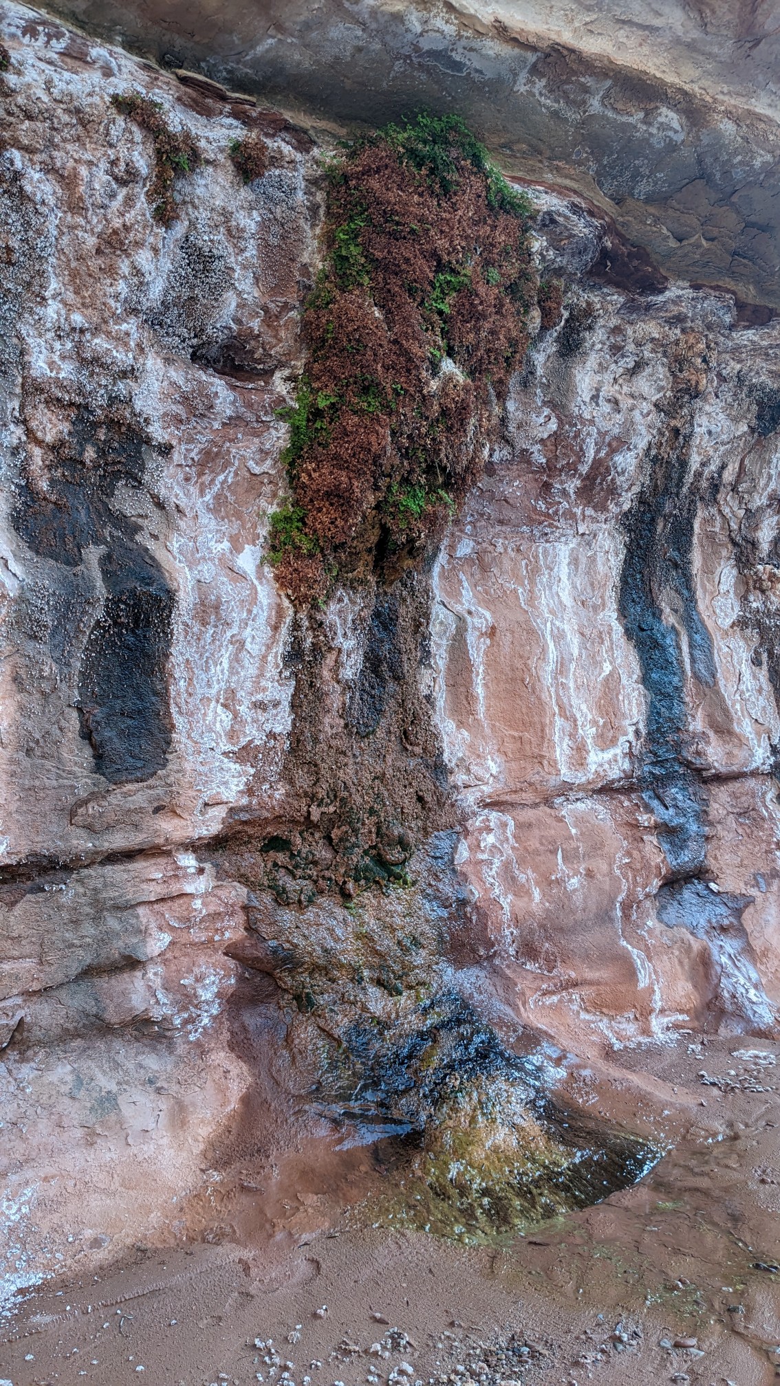
There were so many! Each one had a very fast drip of water, so not really enough to stand there and collect water in my bottles. But taken together, all of the little springs added up to be a small flow on the canyon floor.
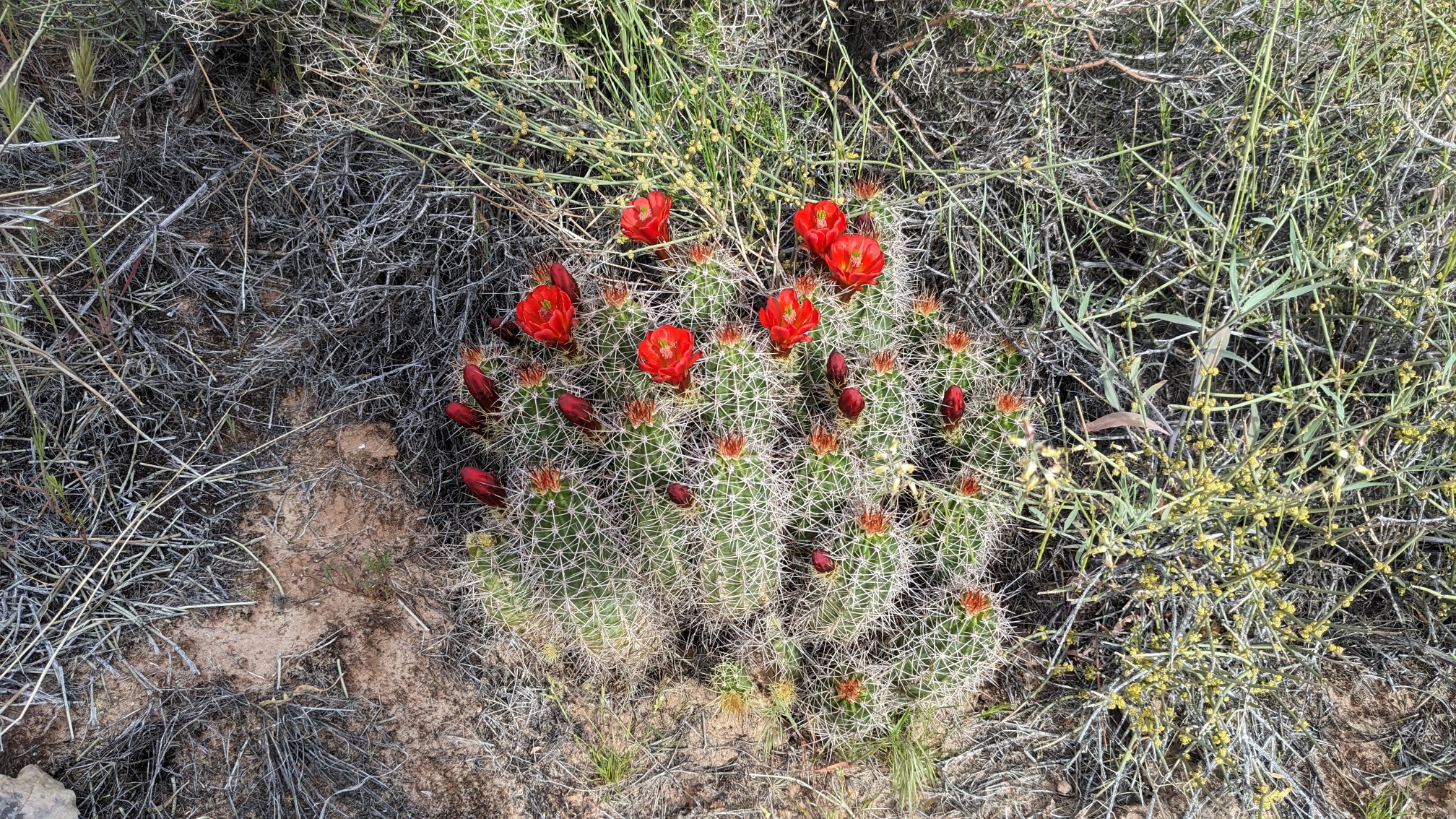
After 4 miles of meandering through Hatch canyon, I climbed up and out of it. I found this cactus thriving in a talus pile on my ascent.
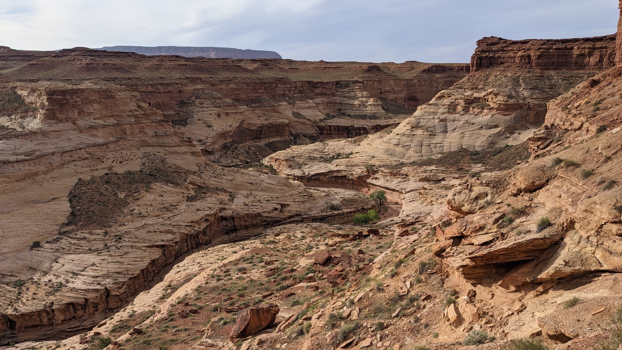
The ascent was steep but not navigationally tricky, and within 20 minutes I was on top at a dirt road. Looking back down on Hatch canyon:
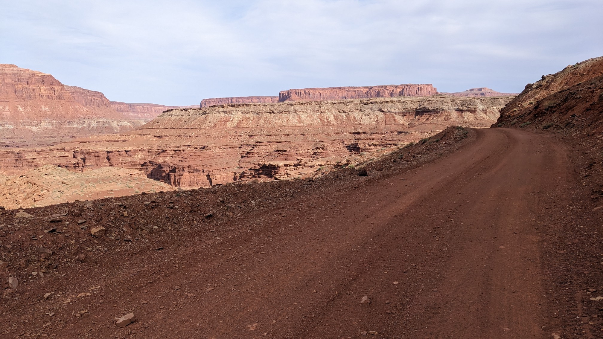
I walked on the dirt road for an hour and a half getting a whole new set of views.
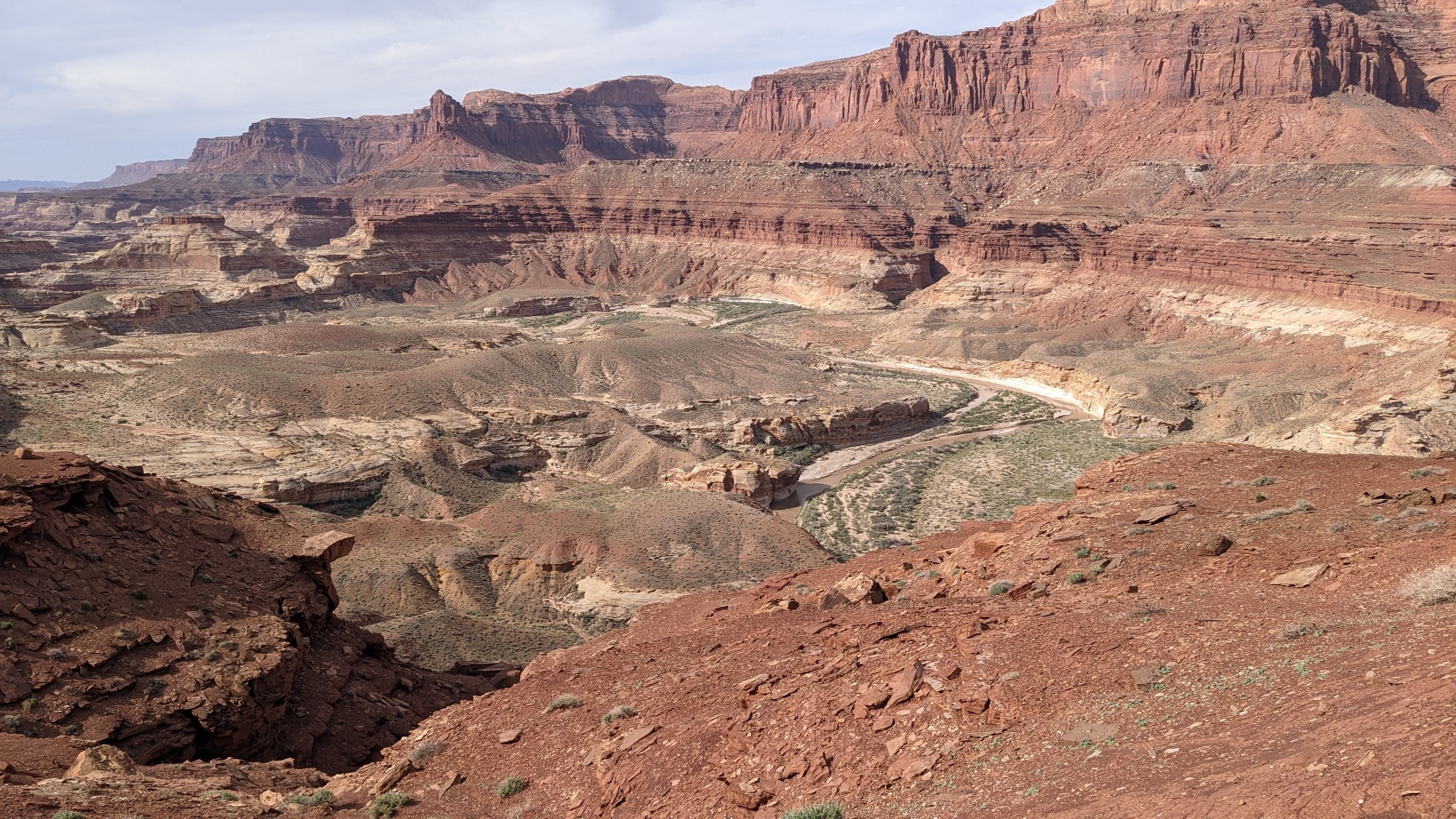
I could even see down to the Dirty Devil river.
A group of Jeeps passed me, and one of the drivers stopped and asked what I was doing, and he said he had backpacked this section before they had established the Hayduke route. He gave me a liter of ice cold water, and then left to catch up to his friends. I made it down to the road crossing of the Dirty Devil River shortly after.
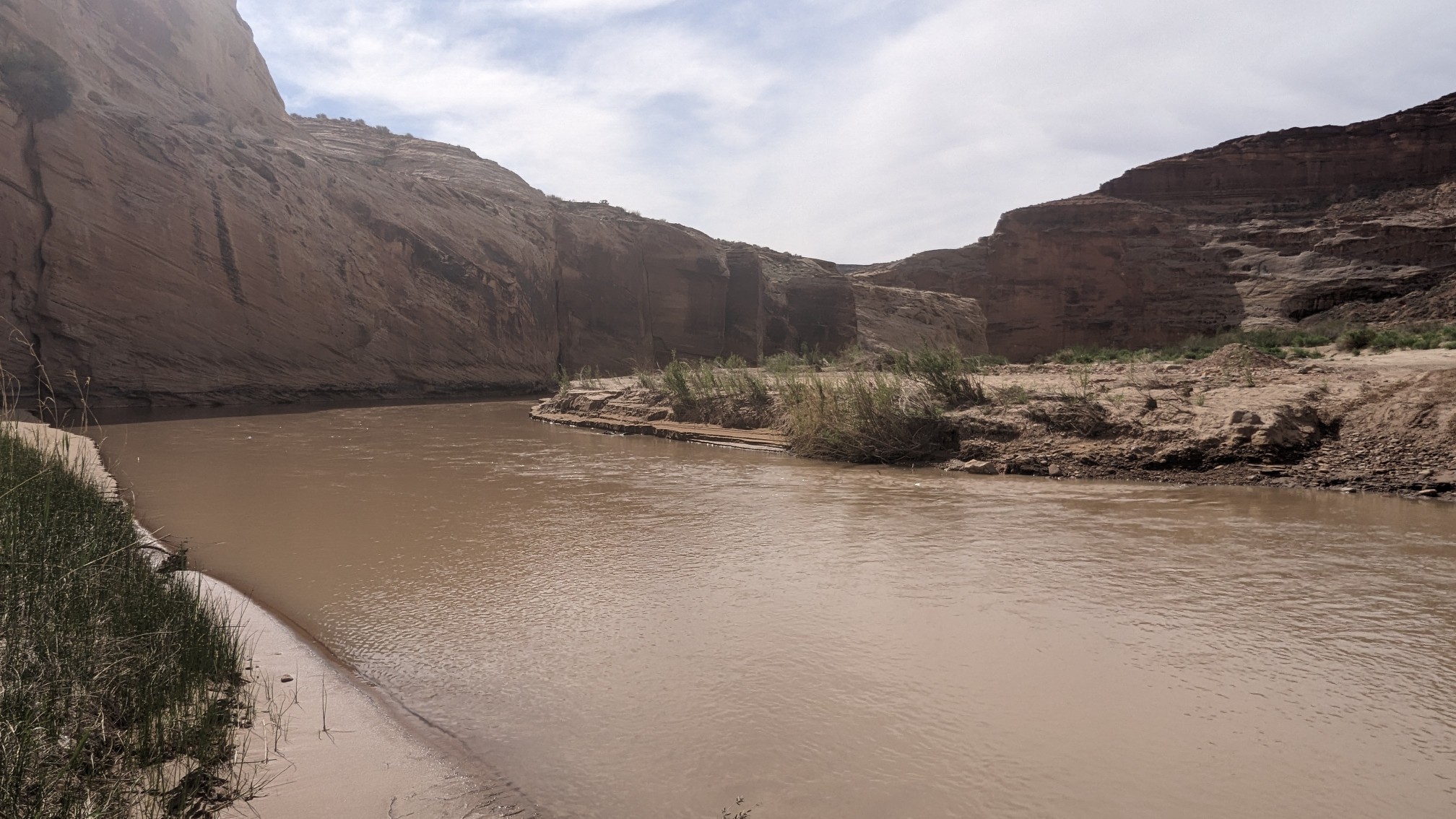
It seemed perfectly wadeable, and much easier than anything I had done in Dark Canyon a few days ago.
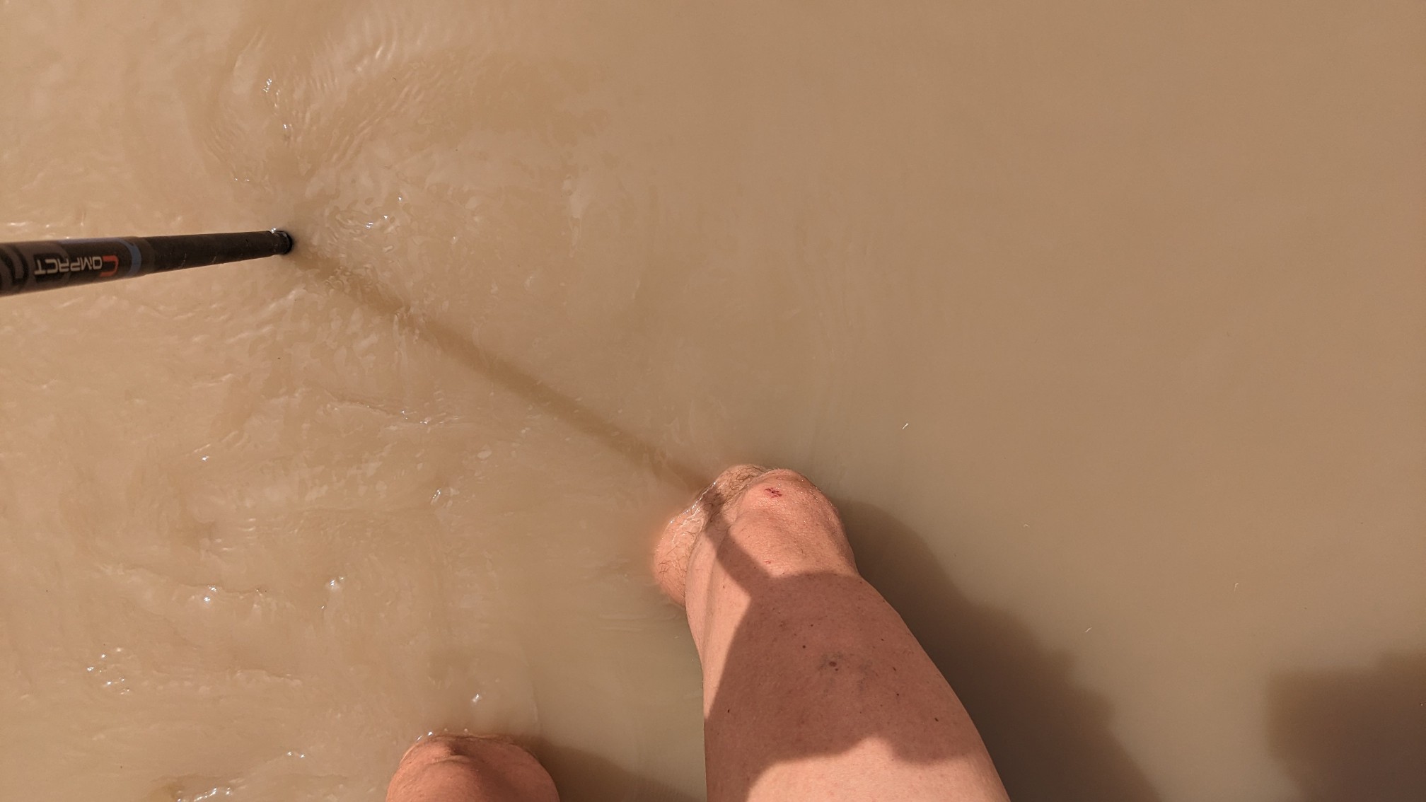
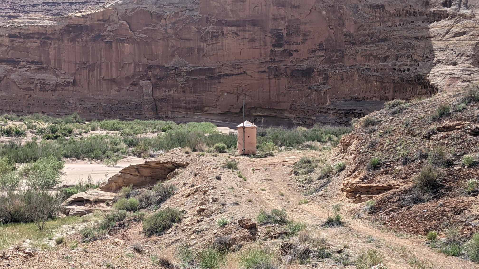
I was quickly on the other side, and I went to scope out the USGS gaging station, which monitors the flow of the river.
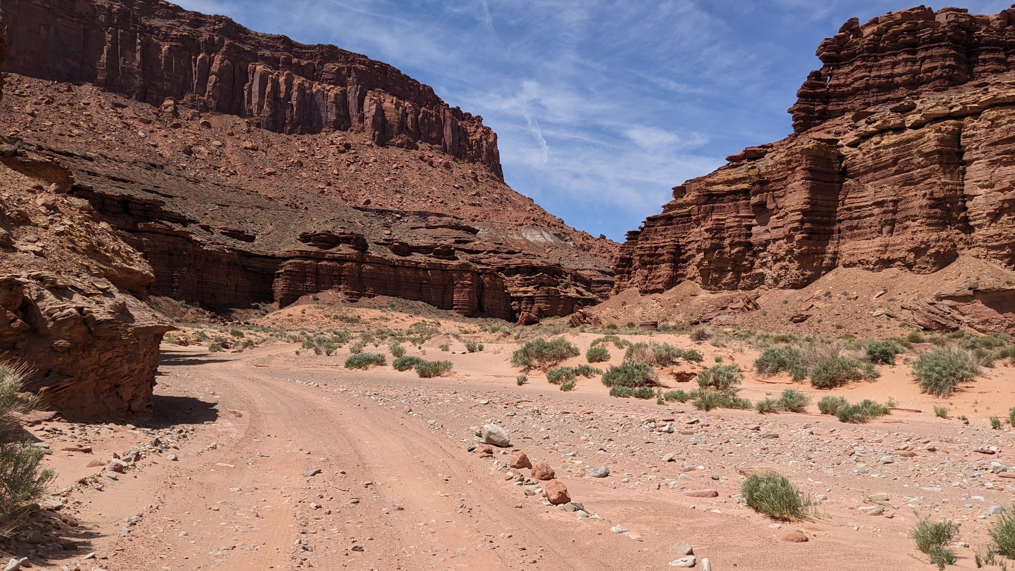
I started my hike up Poison Spring Canyon, and it was starting to get hot.
I found the first shady spot to stop and take a break, dry out my socks and shoes, and do some minor foot maintenance for blisters. Eventually I lost my shade as the sun continued to move across the sky, and I hiked another two hours up the canyon to a beautiful little spring.
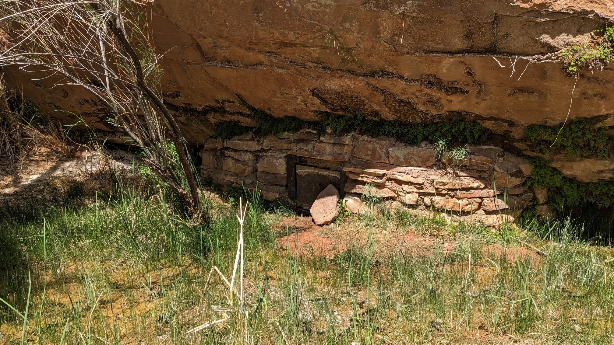
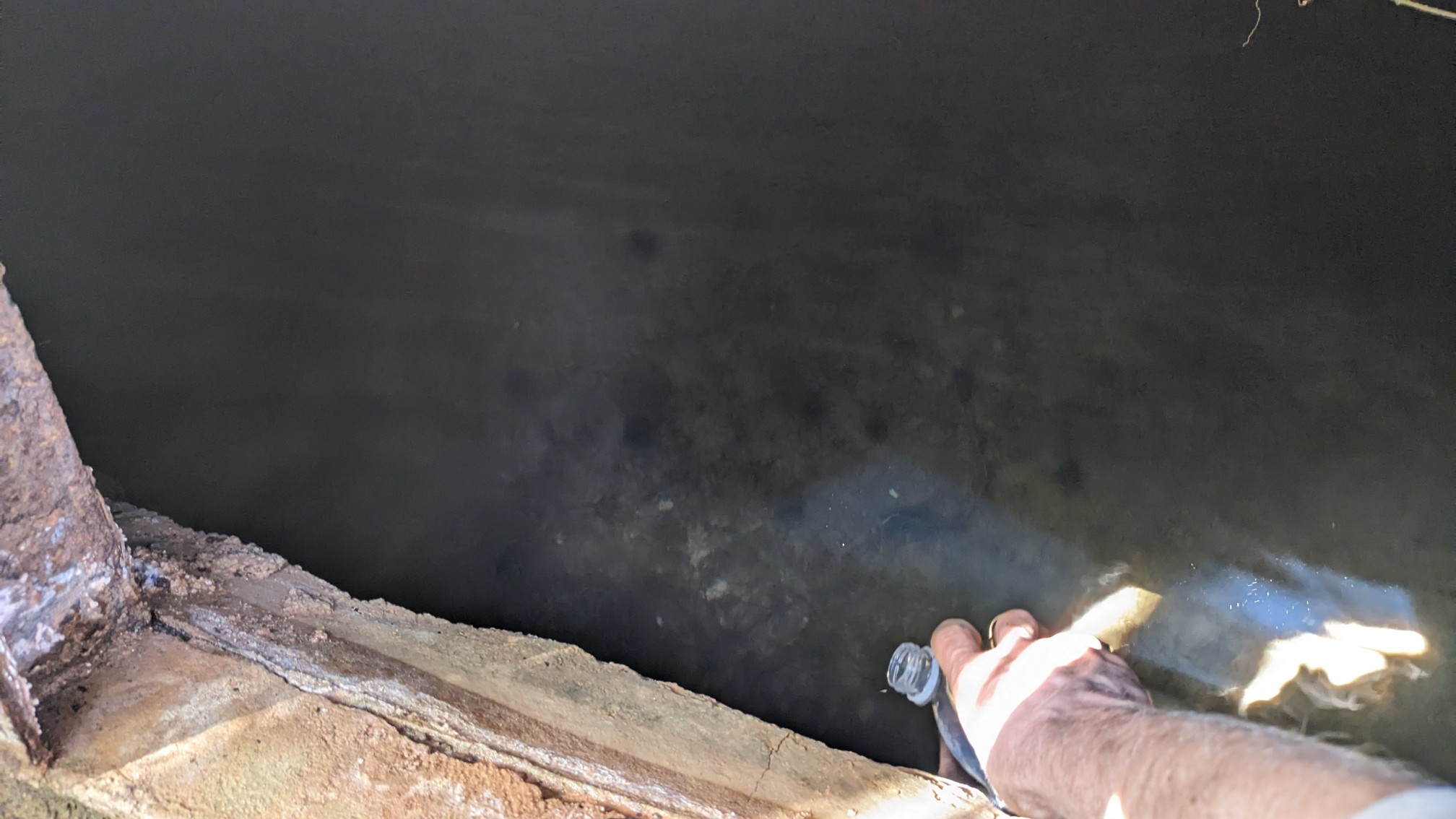
It was hidden under a boulder, and behind a small masonry wall that somebody had built. Genius! It keeps out all those nasty cows. I opened the little trap door and put my bottle in to fill it up, it was so cold and perfectly clear.
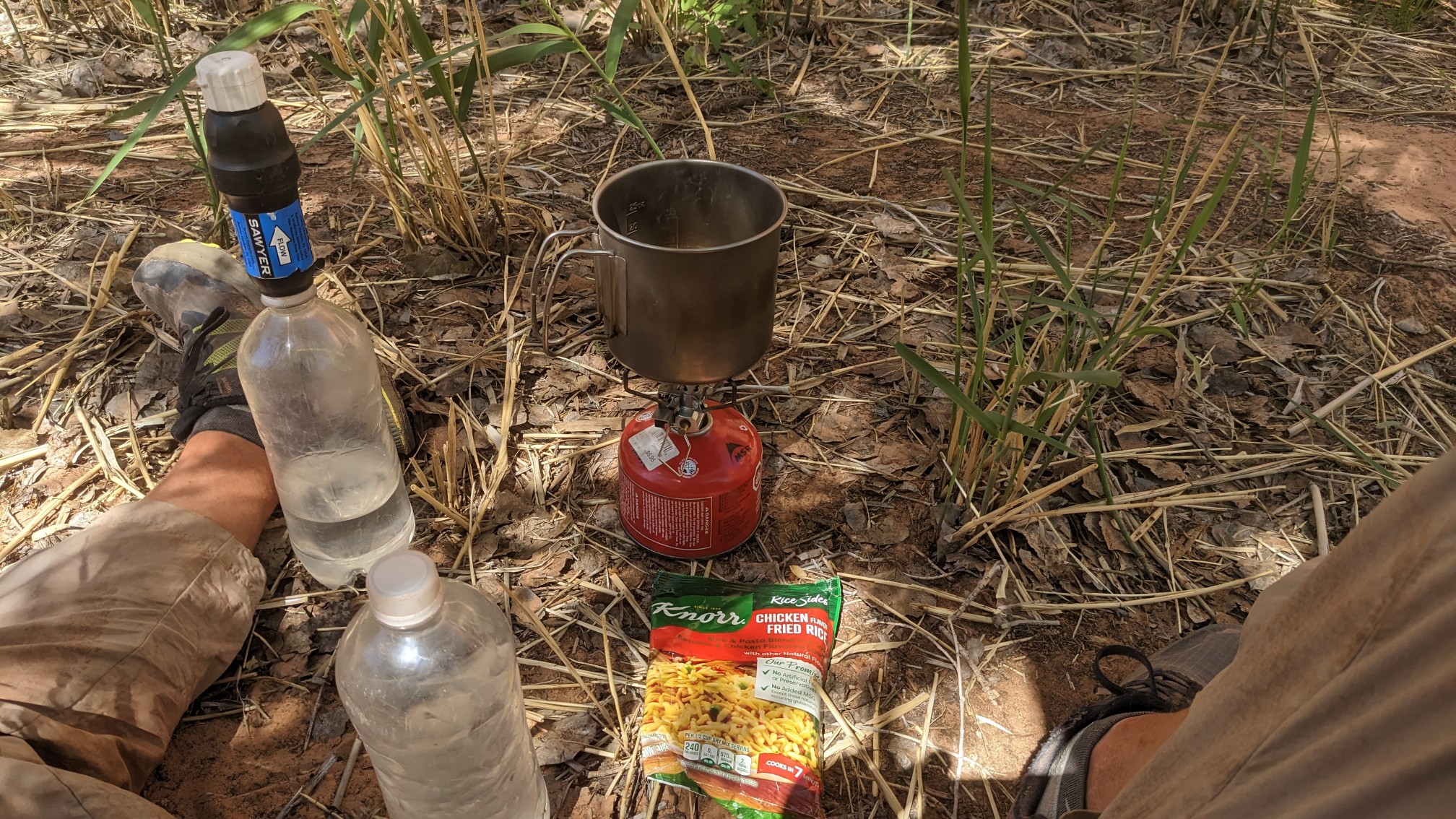
I sat there under a nearby shady tree for probably 2 hours while I made my lunch, relaxed, and looked at my maps.
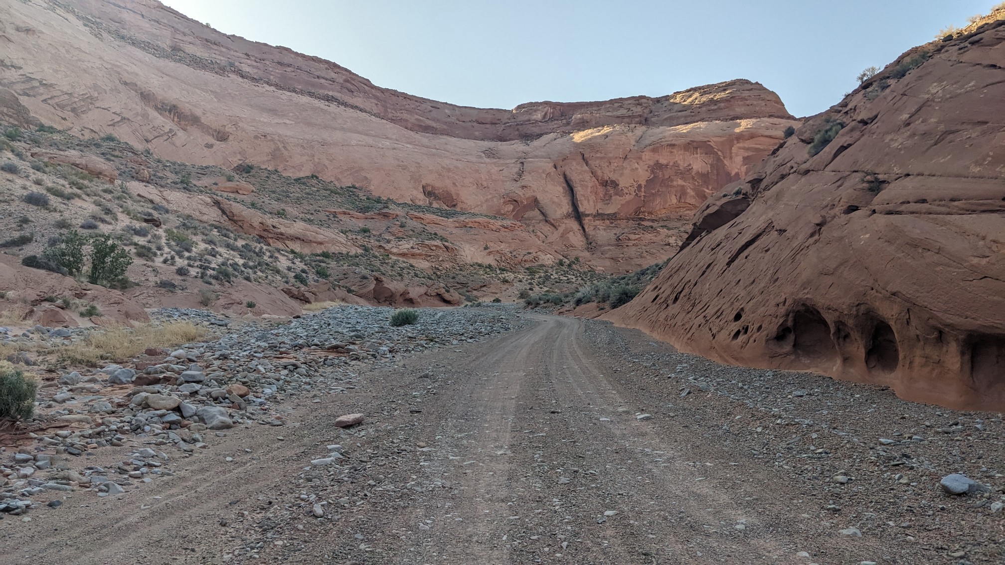
I finally left that nice little spot around 4:30, and by then much of the Canyon was in the shade.
I hiked until about 6pm and then setup my tent in a side wash, I think it was called Butler Wash. After consulting my maps, I realized I only have three miles to go to the road tomorrow! Nearo (Near zero) day into Hanksville! I’m definitely looking forward to getting a shower and some real food.
Appropriate name for that rock formation… lobster tail !
Beautiful cactus flowers too! Great photos