Thursday June 15, 29.0mi/46.7km
Seaside Village (17.6/12ft) to Above Short Sand Beach (45.1/120ft) (OR) +0.4mi Cape Falcon, +1.1mi wandering in the dark
I slept in late at the hostel since the room was dark, and then I cooked a unique breakfast of random items from the free food shelf. Bacon & Mac & cheese…for breakfast! After cleaning my dishes and getting packed up I finally left the hostel at 9am. I finished walking through Seaside, it’s a nice little tourist town.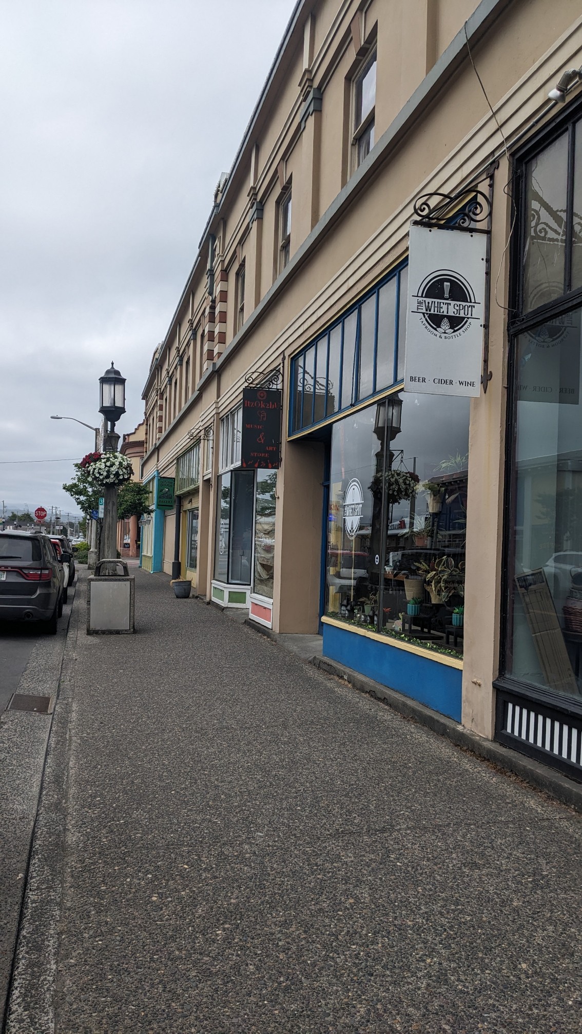 It was still early in the morning so the ice cream place was unfortunately closed. Next time!
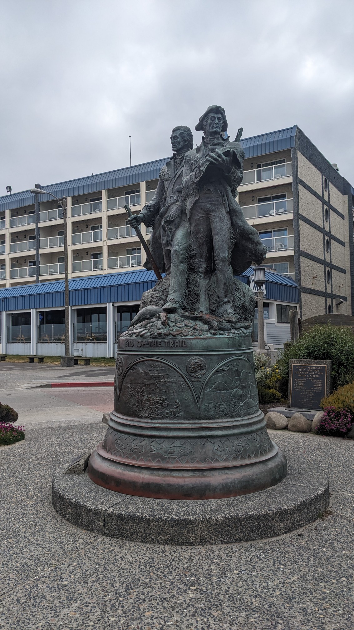
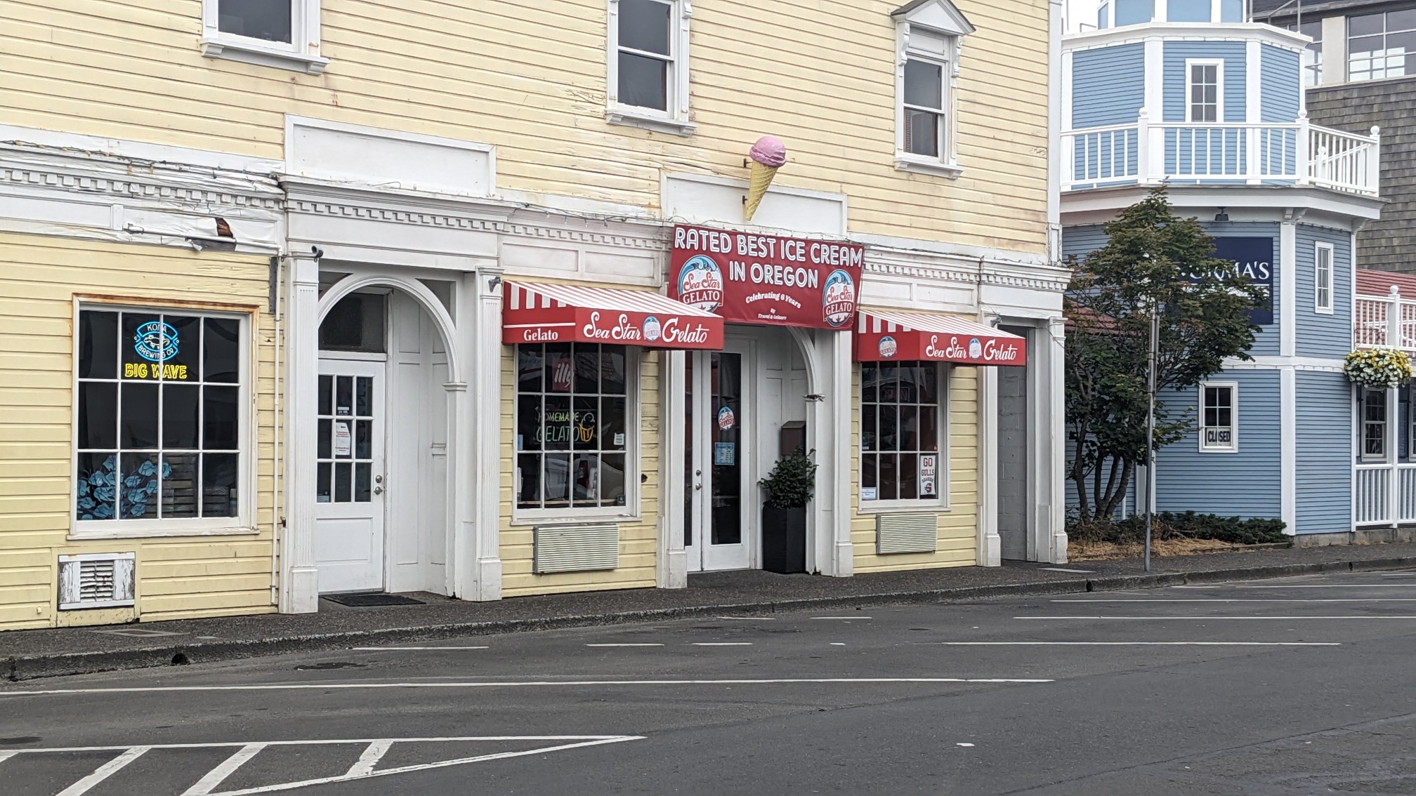 I walked toward the ocean where they have a little park, commemorating the founding of the town.
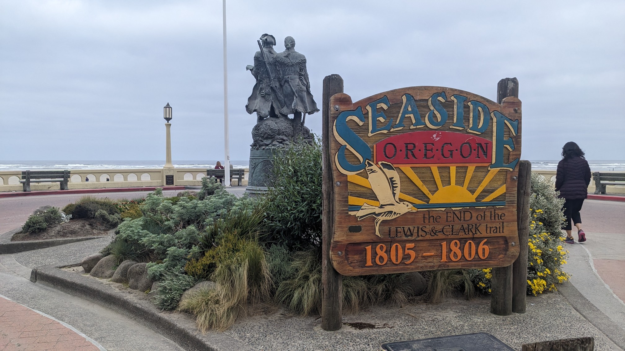 There is a statue of Lewis and Clark, since this is the spot where they encountered the Pacific Ocean.
 Instead of a boardwalk (which would rot and fall apart quickly), they built a nice promenade that was several miles long.
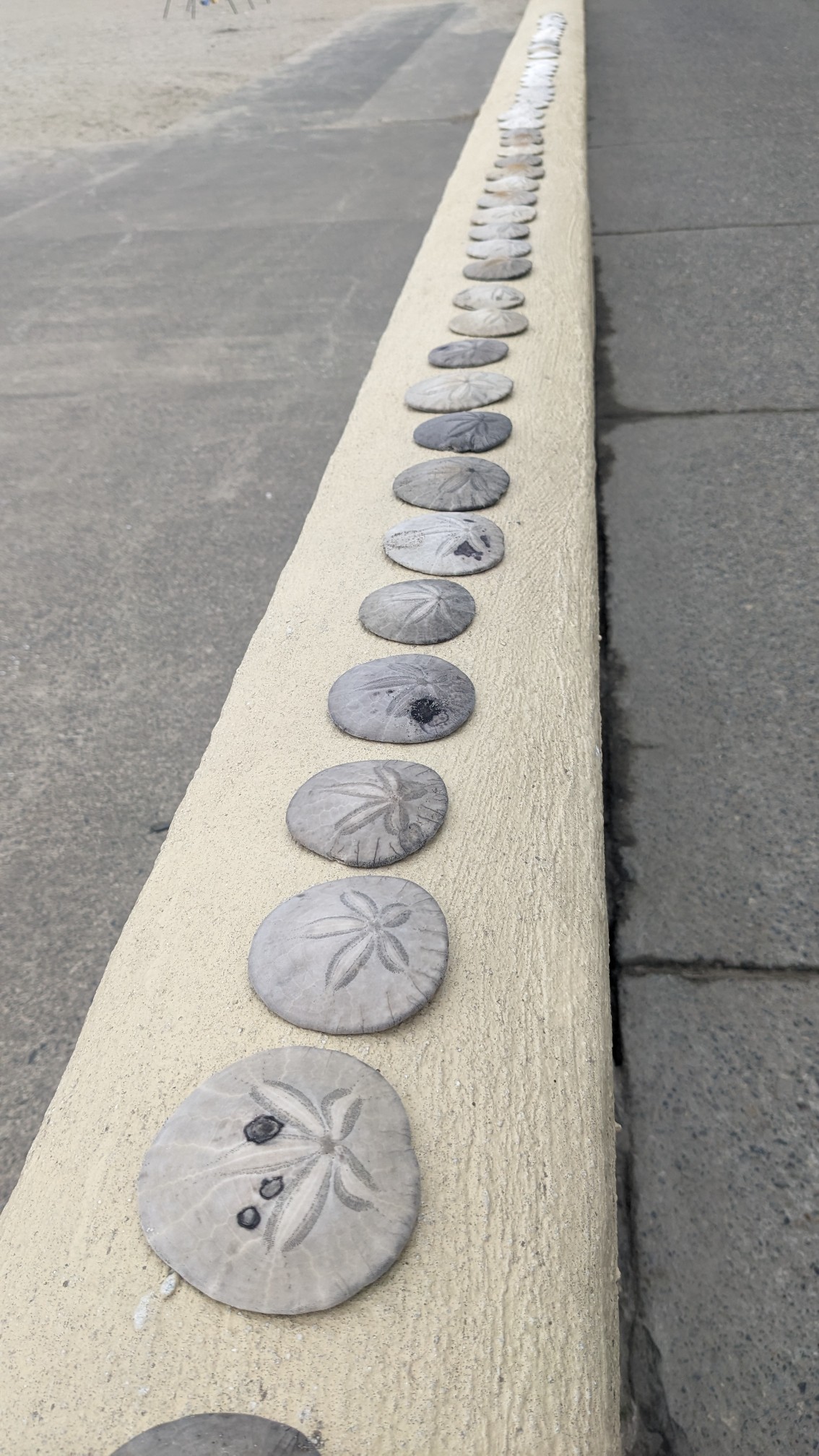
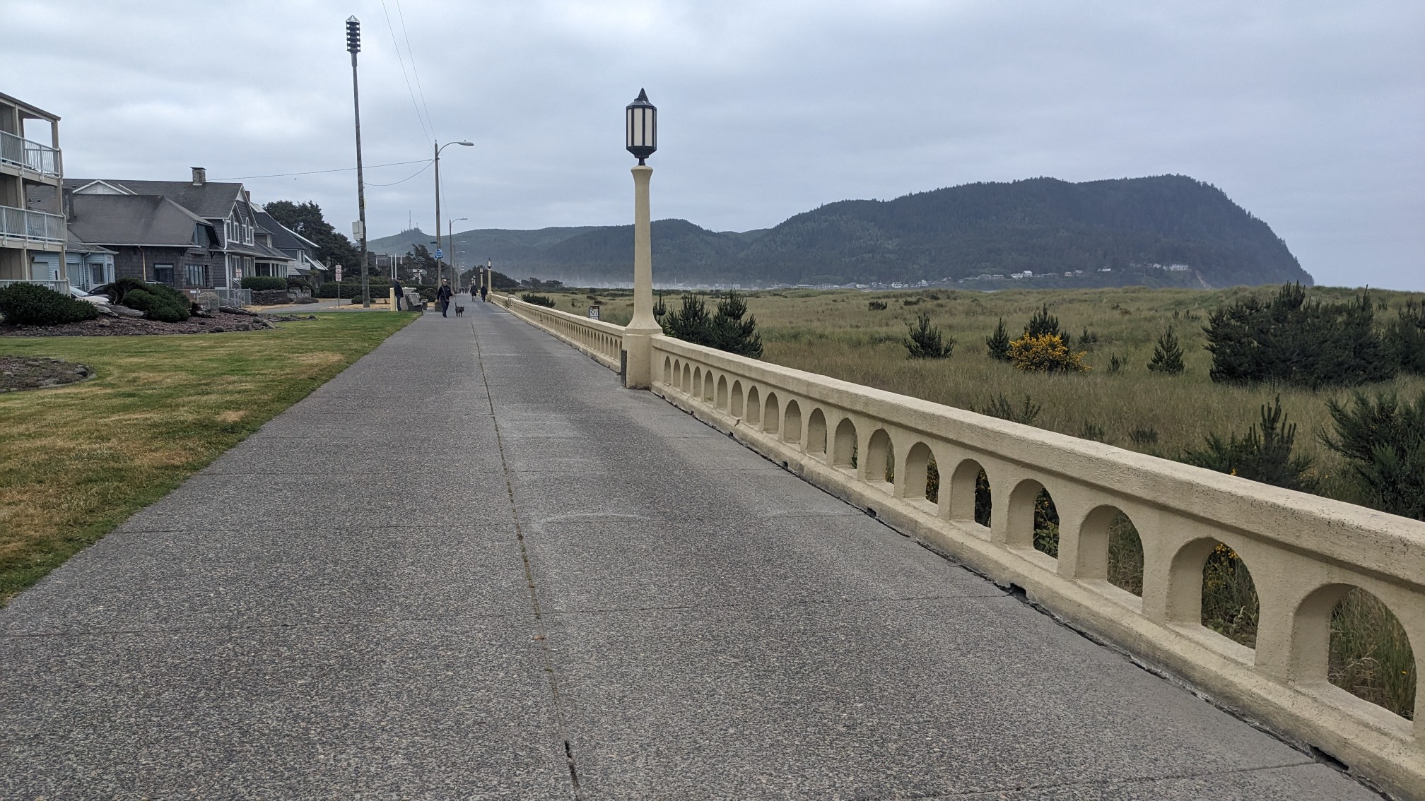 There were people out rollerblading, walking, doing yoga, flying kites, and even breakdancing. The people-watching was so good, I almost missed the huge line of sand dollars glued down to the handrail.
 After a couple miles the promenade ended, and I was left with a little bit of beach walking to do.
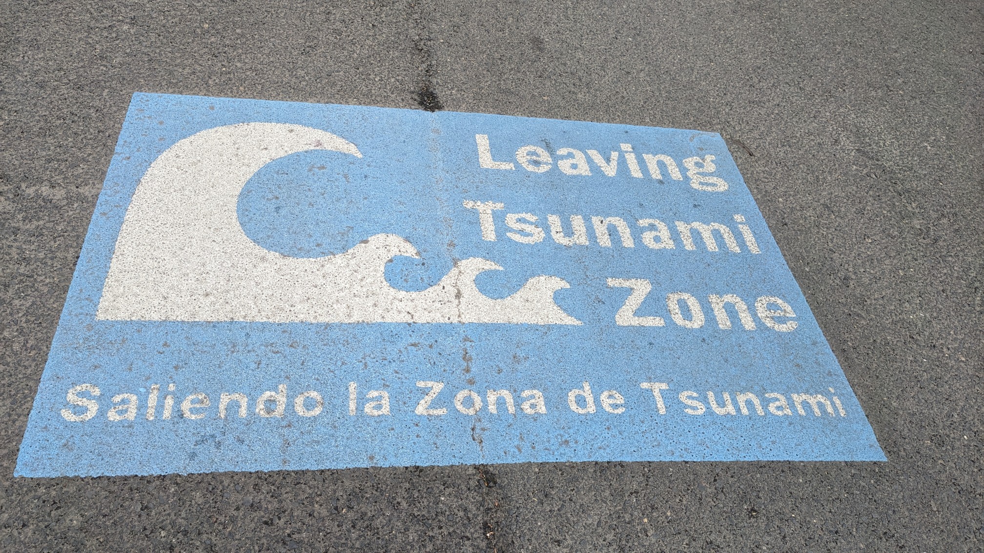
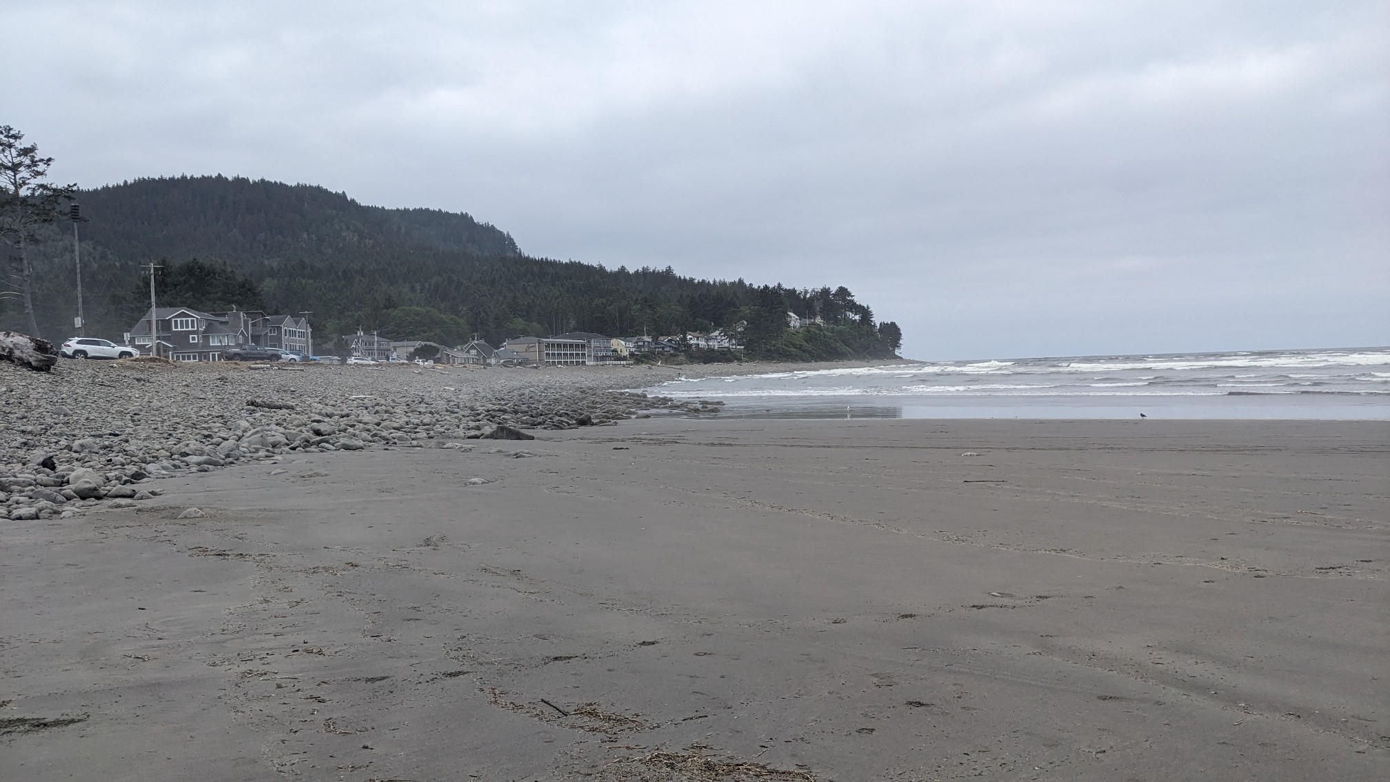 I quickly left the beach and walked up some neighborhood streets, which led to the hiking trail. I guess I’m safe now that I left the tsunami zone.
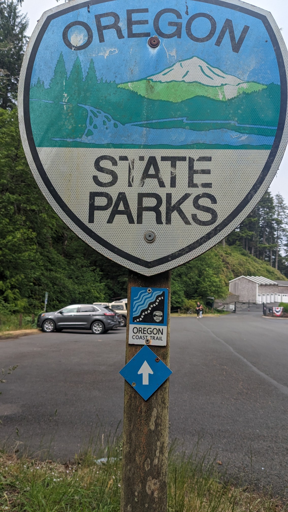
 At the end of the road I came to the trailhead parking lot, and in case I had any doubt there were Oregon Coast Trail signs everywhere.
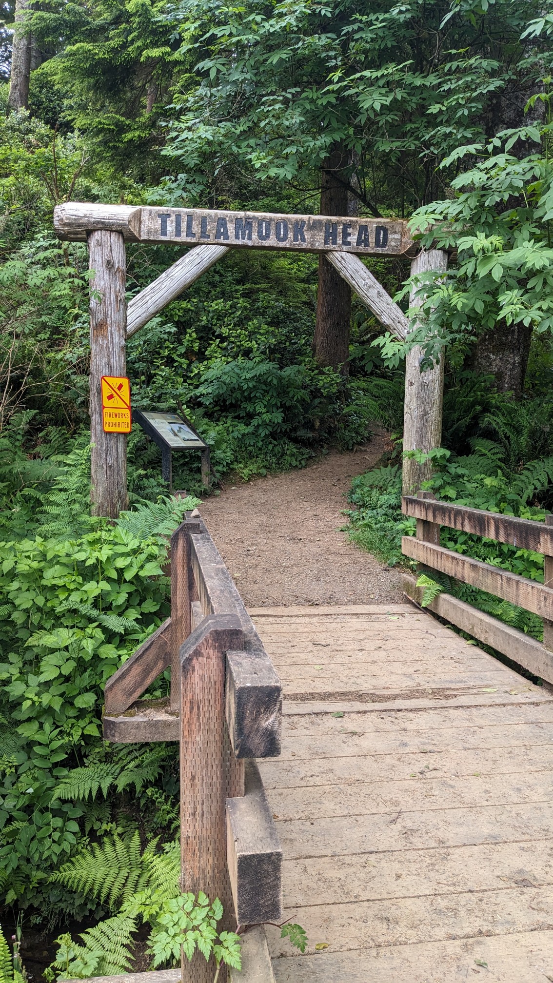
 Even the trailhead itself had a prominent wooden arch!
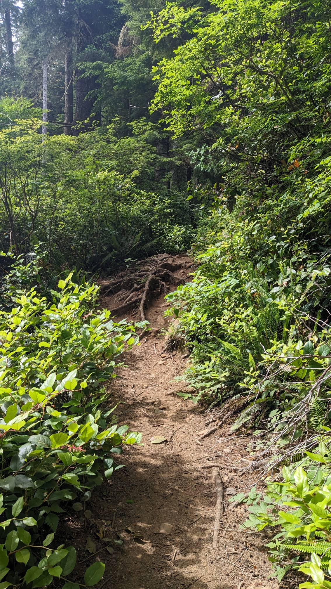
 I climbed steeply up Tillamook Head for a couple miles.
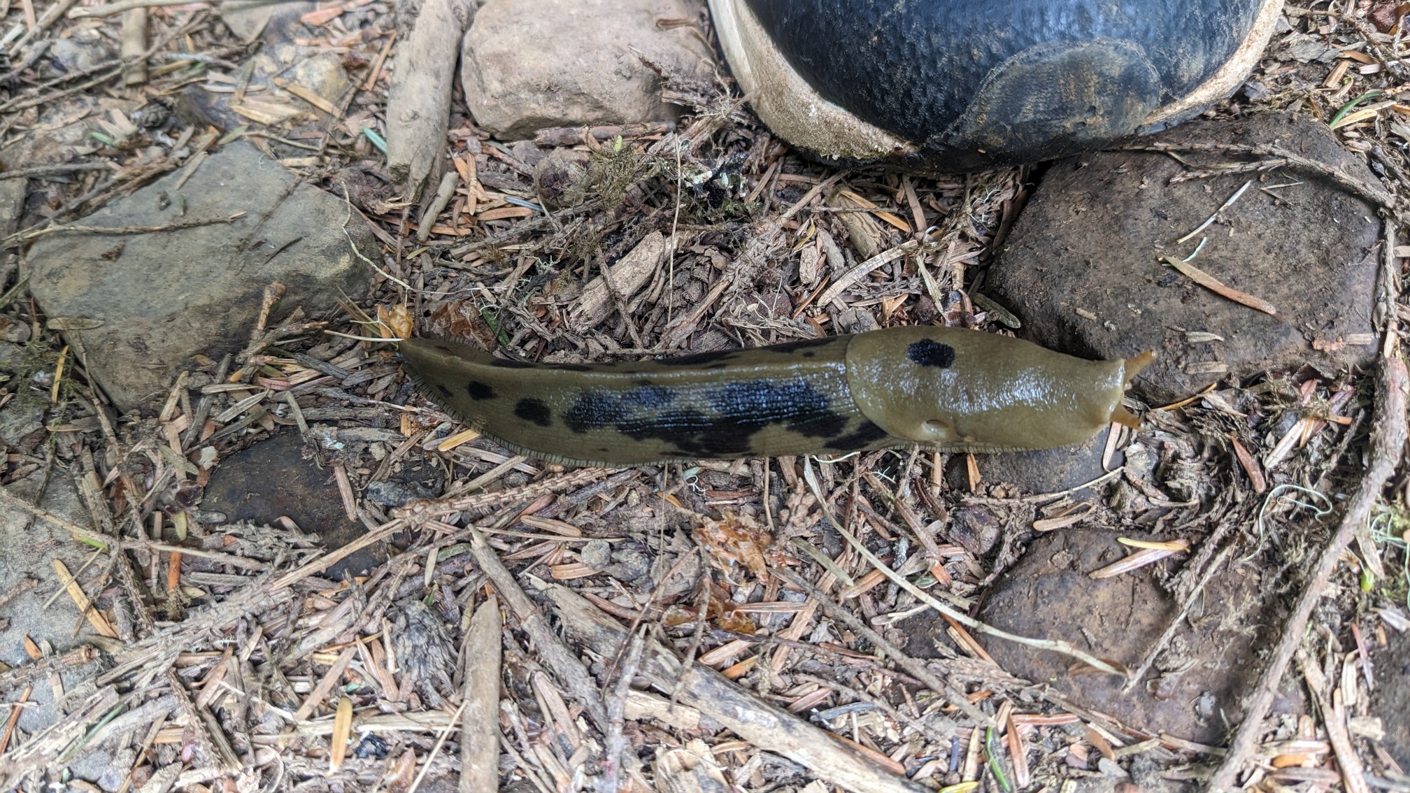
 I could tell it was a wet environment because these massive slugs were everywhere.
 At the top of the climb, the environment changed to an old growth forest.
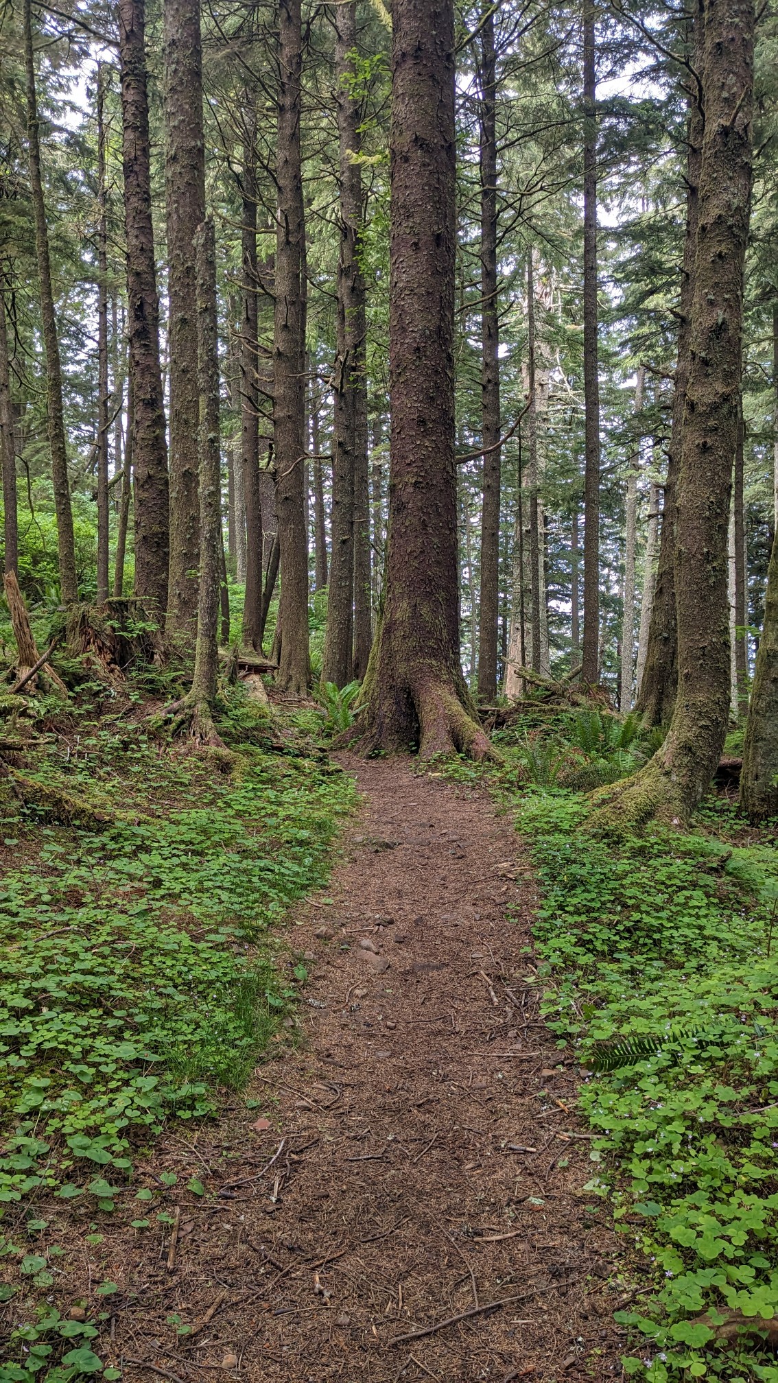
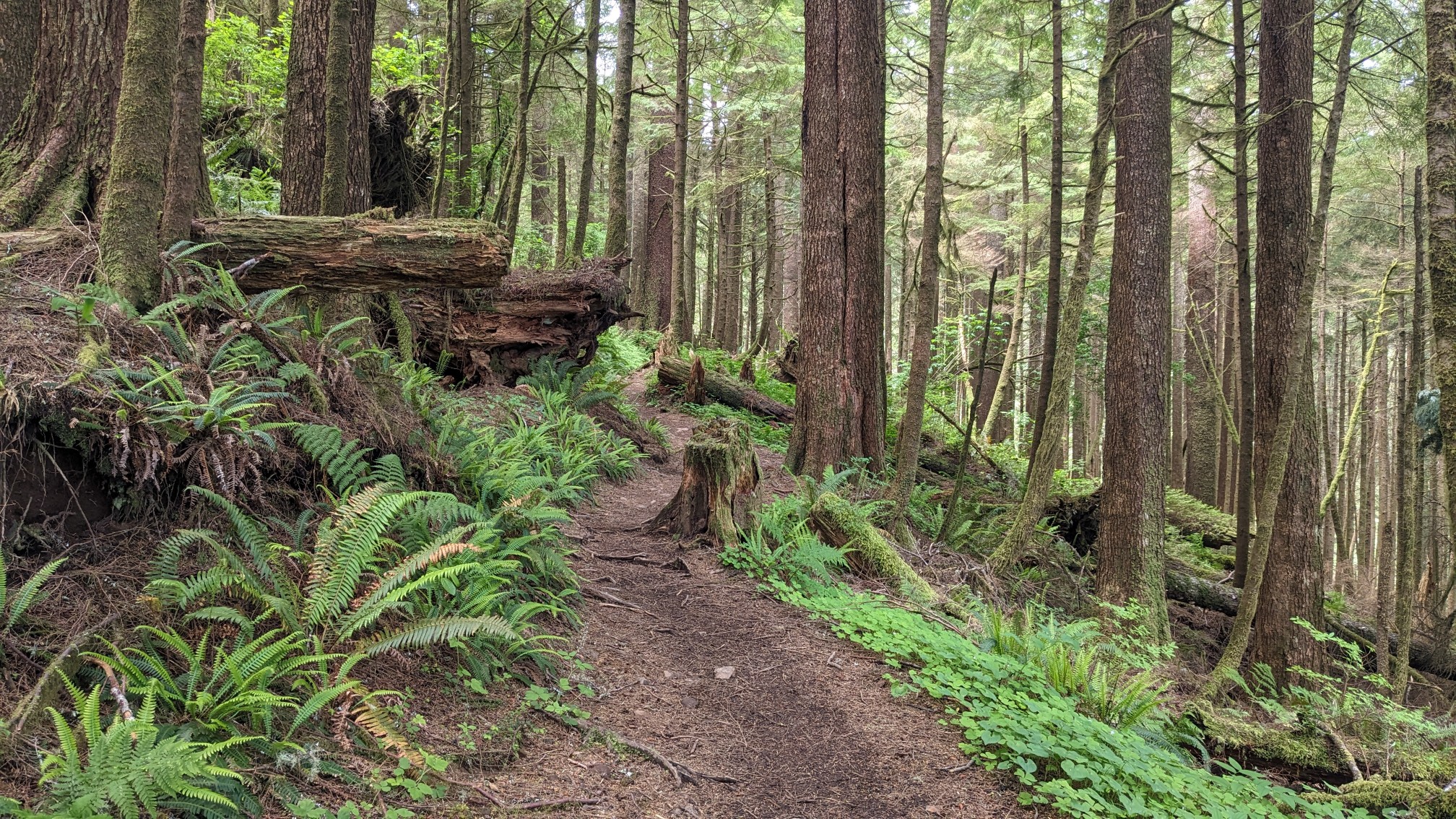 It was really neat to walk through a dense shady forest, and it was quite a bit cooler up here at 1200 feet elevation.
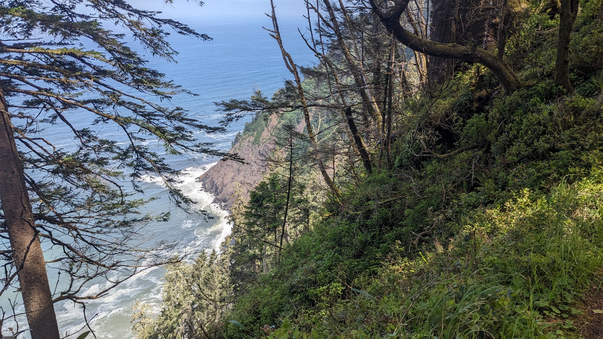
 Occasionally the trail will get toward the edge of the headland, and I would get a view all the way down to the ocean.
 I stopped for lunch at one of the official OCT campsites, which had three wooden shelters and a nice fire pit.
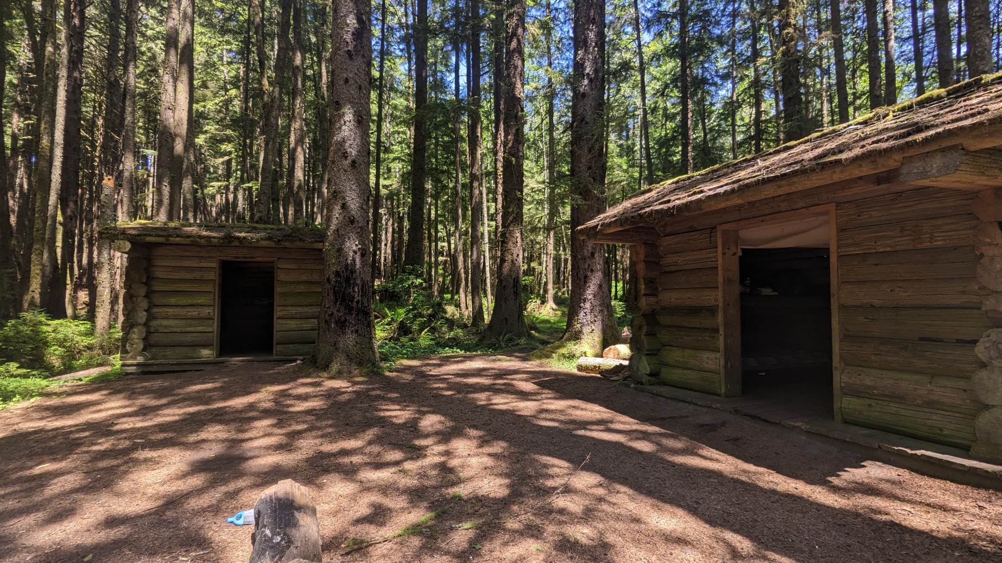
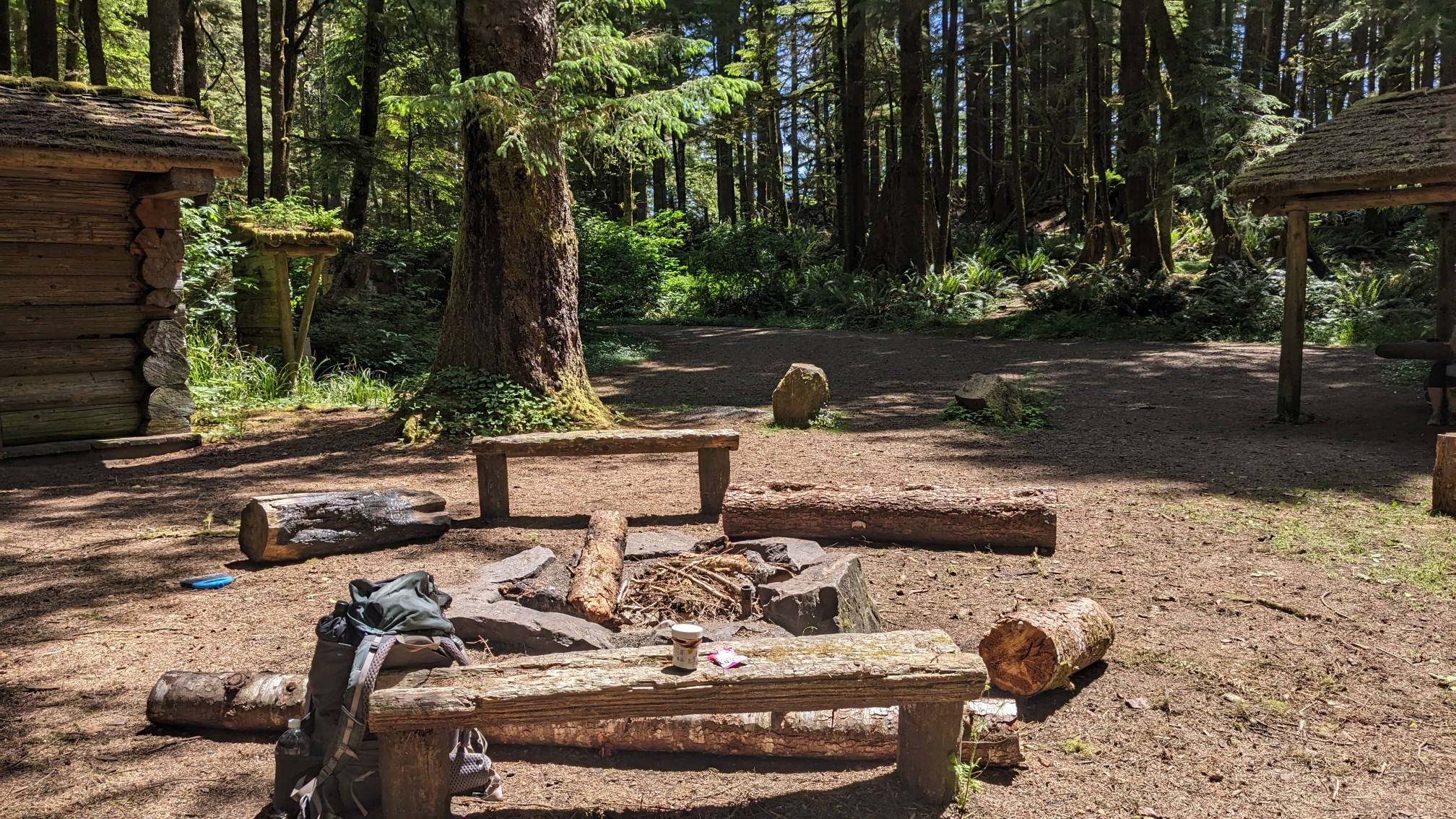
The inside of each shelter had four wooden bunks, it actually looked pretty nice.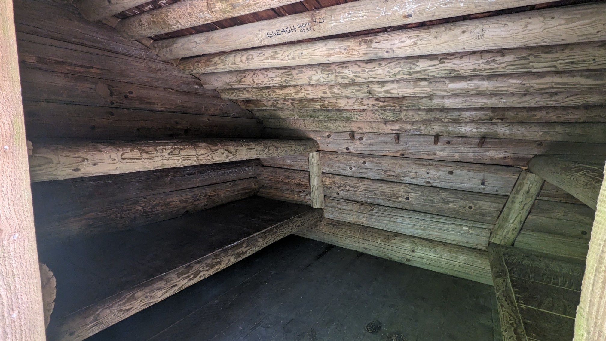
As I was eating my lunch, a couple of families walked through and told me about another nearby point of interest, an old military radar station. So of course I had to walk the quarter mile to go see.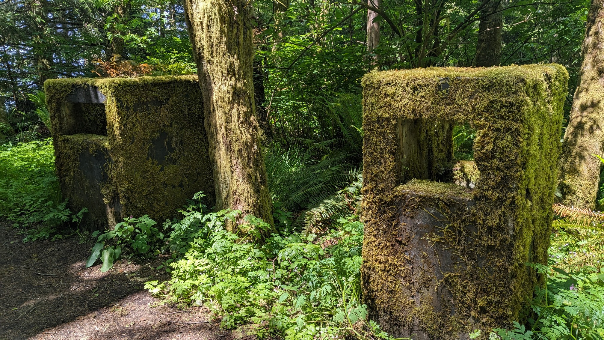
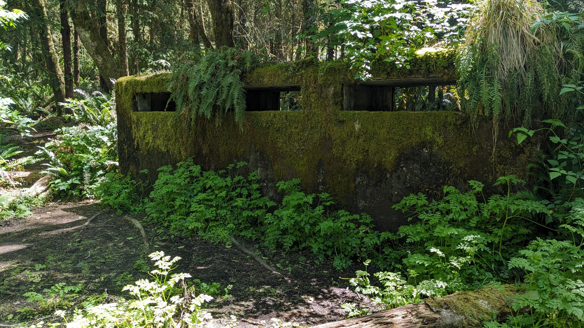
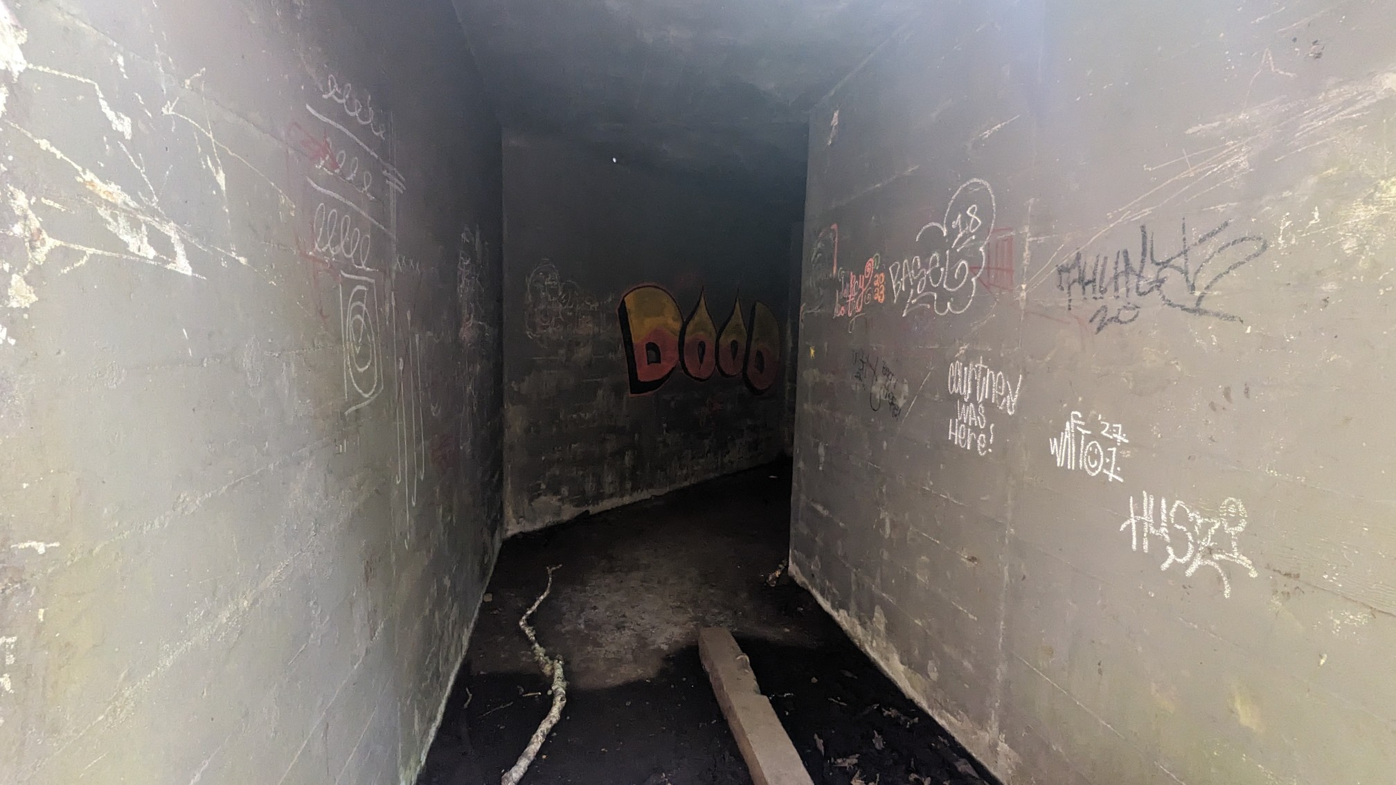
There was another lookout point near the radar station, and I could see the Tillamook lighthouse off in the distance on a rocky island. It’s no longer in operation and is now a bird sanctuary.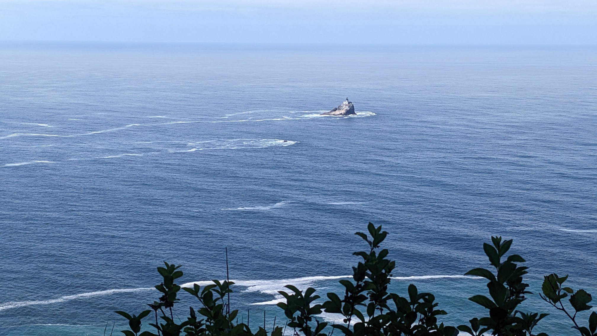
I packed up and continued on, and as the trail descended towards Indian Beach, I got better and better views of the beach.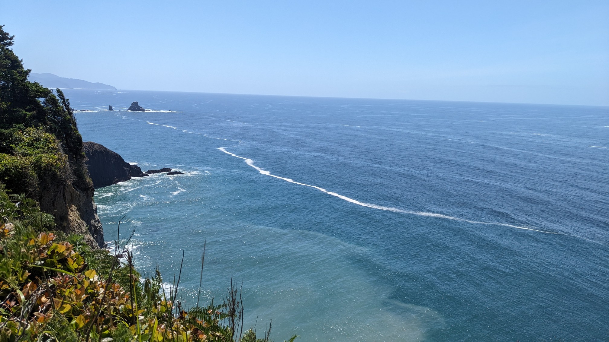
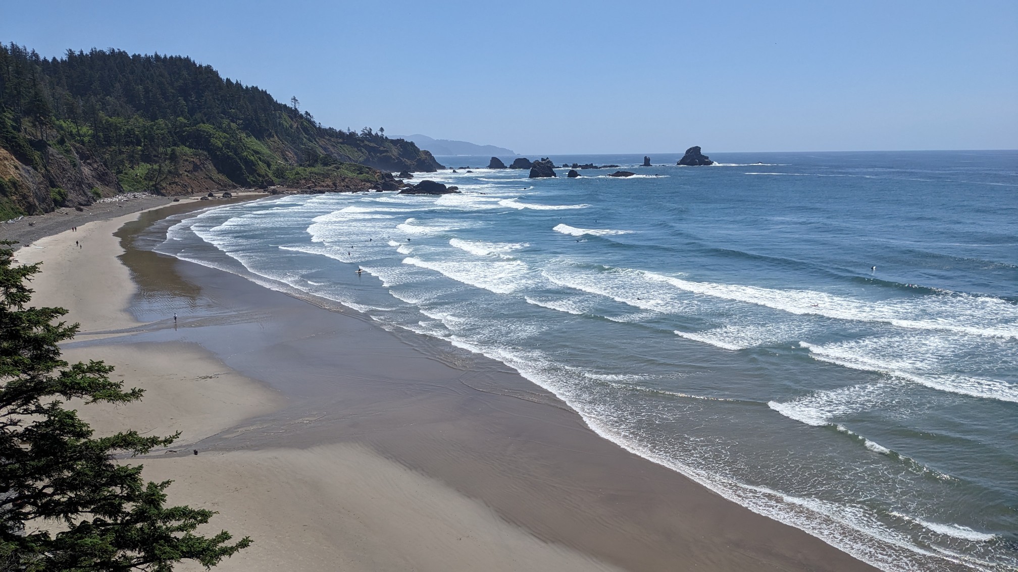
I quickly passed through the Trailhead parking lot, there were heaps of cars and it was crowded. Once I was past there I got a look back at the beach in the Tillamook headland where I had just hiked down from.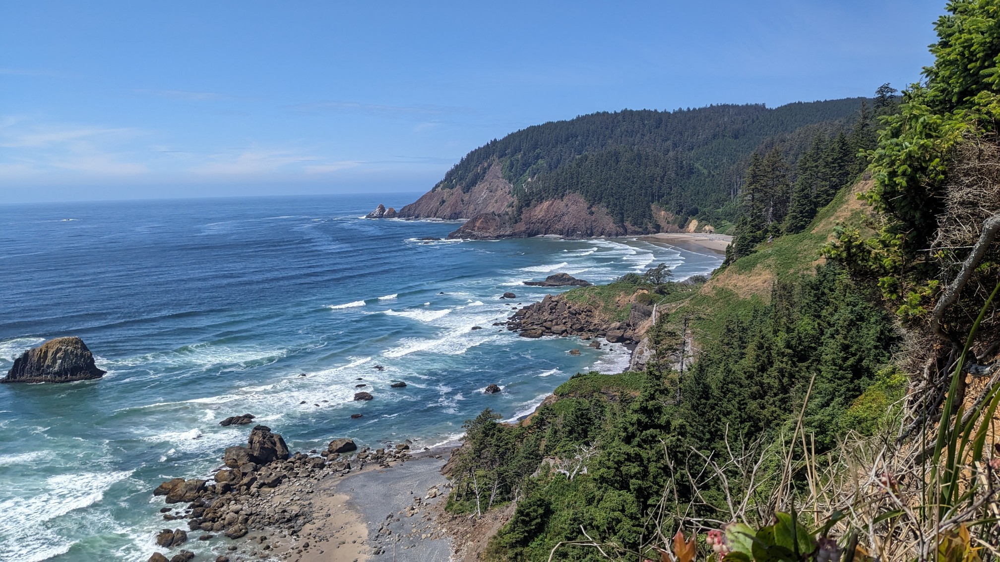
Pretty soon I came to another Trailhead parking area with a nice grassy meadow and picnic areas.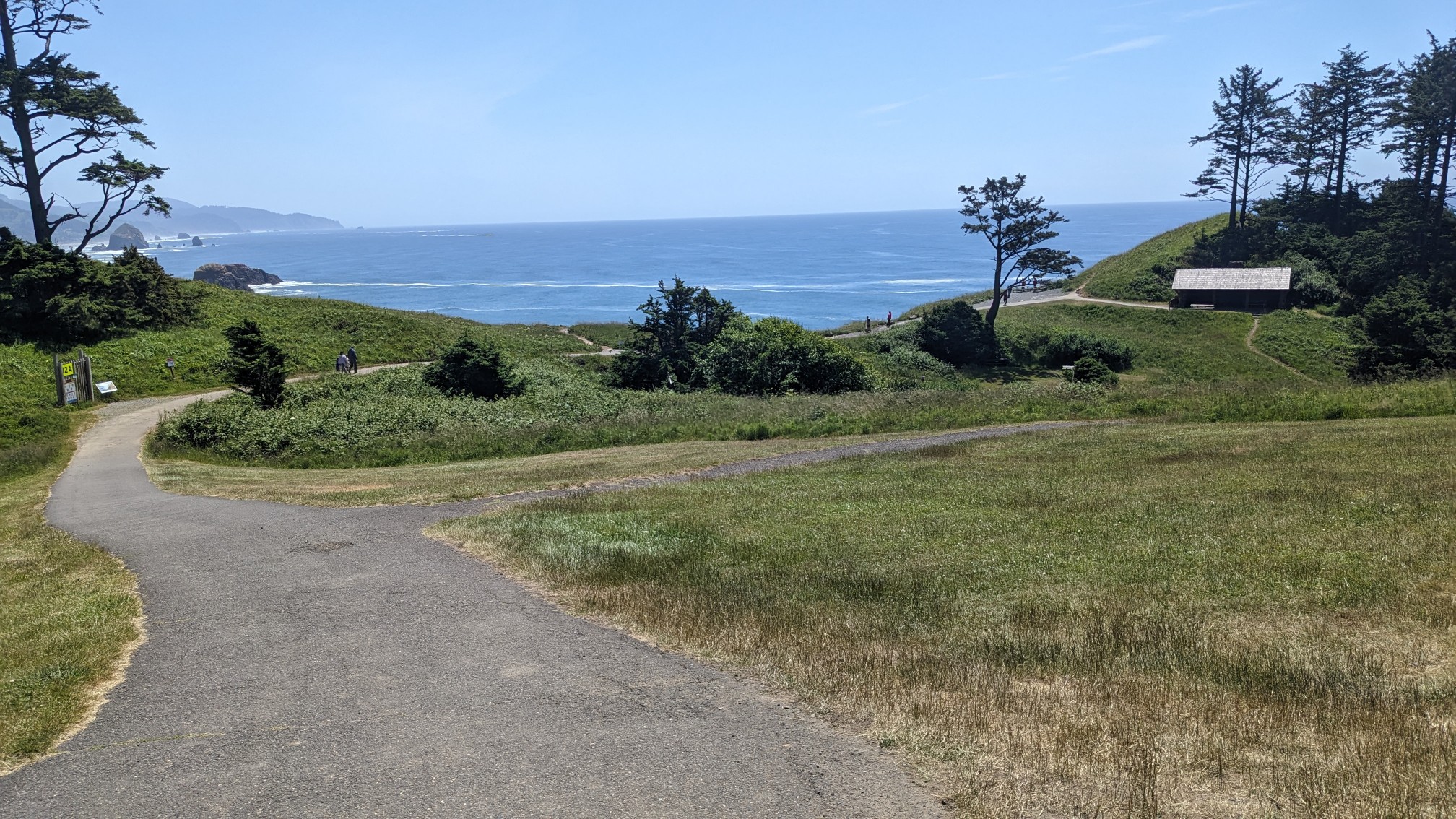
Apparently a bunch of movies had scenes filmed in this spot, including the 1985 classic, The Goonies.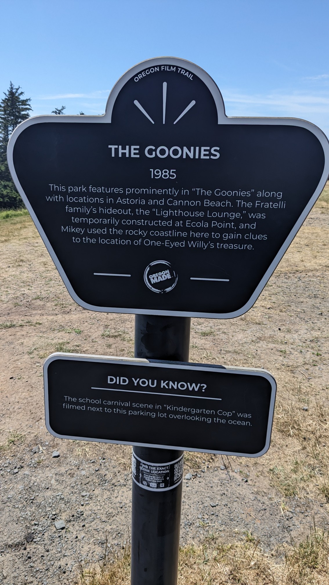
I hiked on through the forest for two more miles, and after cutting through a neighborhood I arrived back to the beach.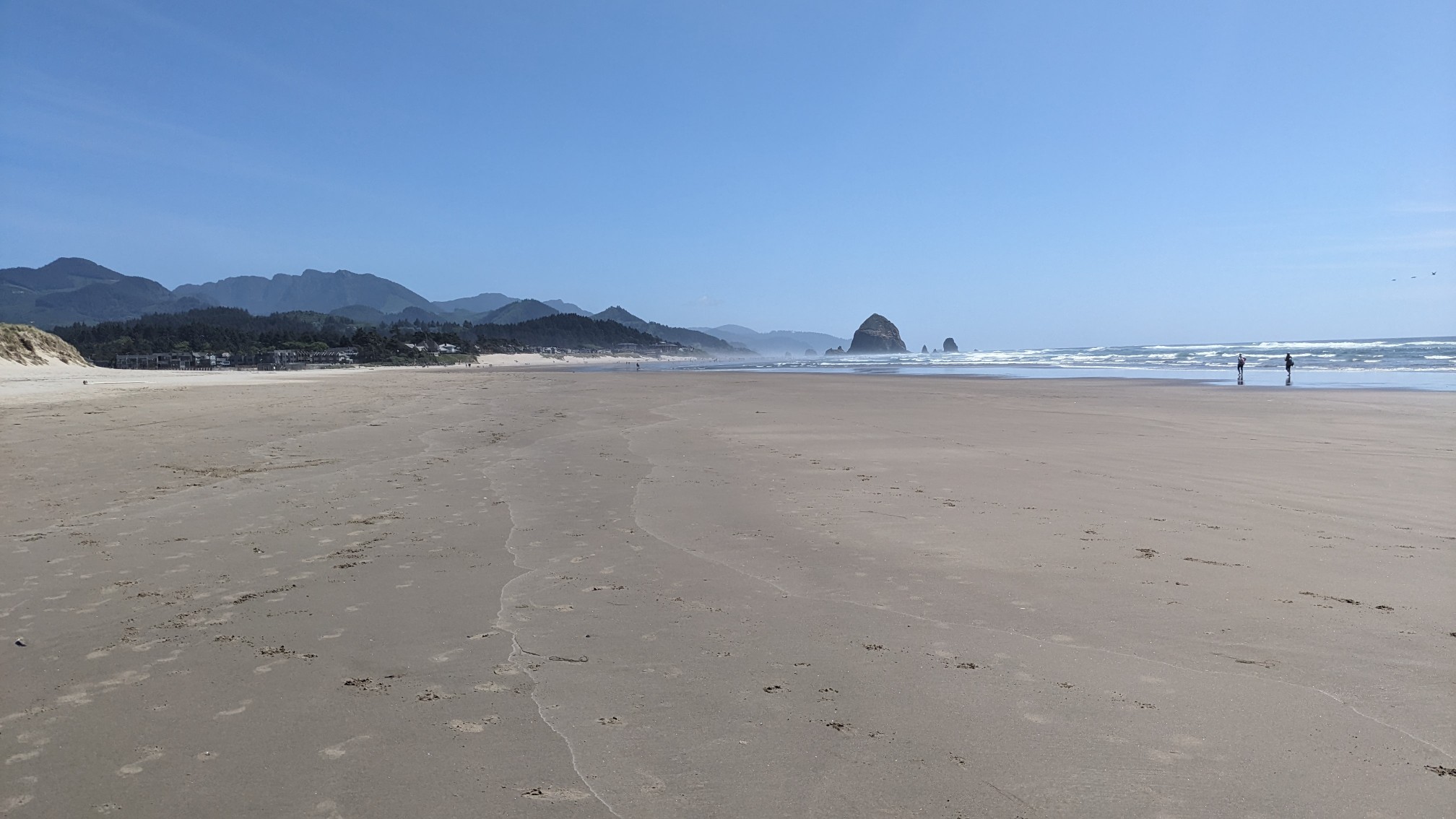
I strolled down Cannon Beach for several miles and there were tons of people, the most I had seen on any beach so far. The famous Haystack Rock was the main attraction, and there were at least 100 people gathered around it.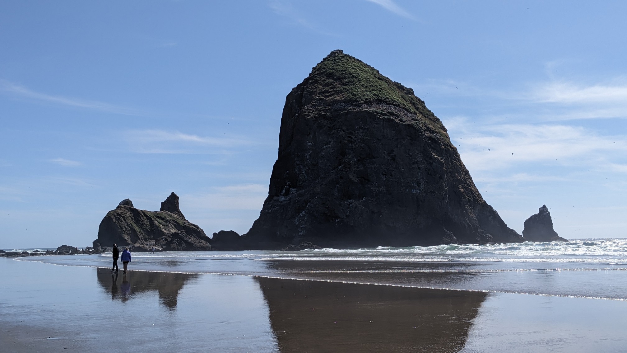
I kept walking and was happy to leave the crowds behind. In three more miles I came to a small rocky outcrop that could only be bypassed at low tide.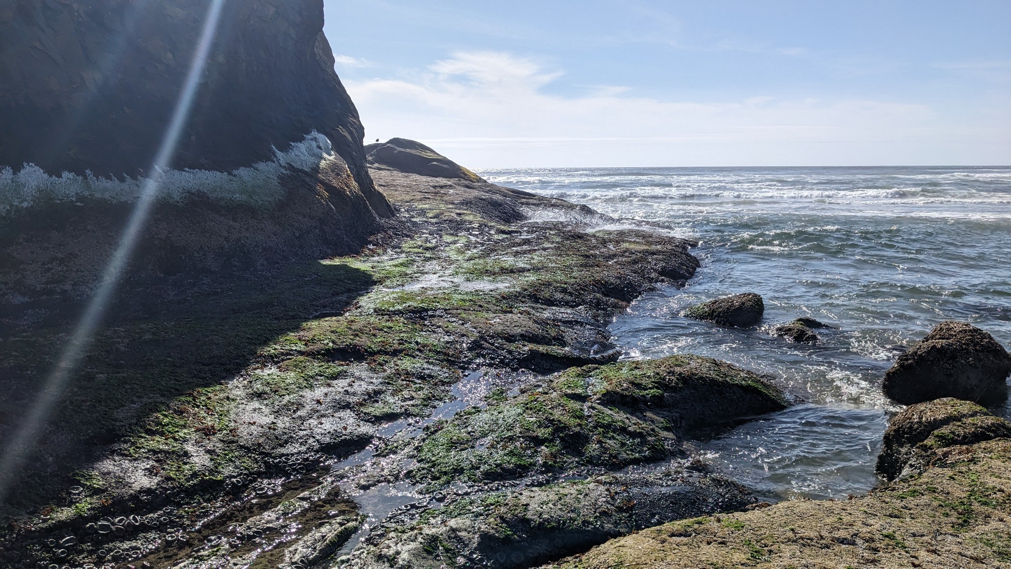
Apparently in the 1800s they had blasted a crude roadway through this rocky cliff. Even at the lowest tide at 4pm I still had to wade a little bit.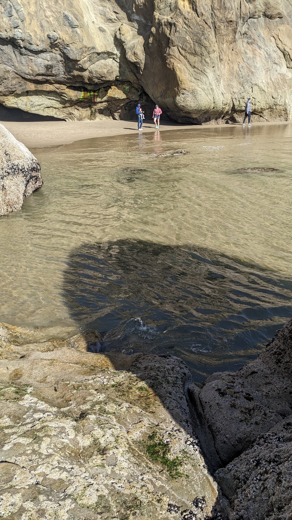
This part of the beach was more remote and had a little cave and a bunch of boulders.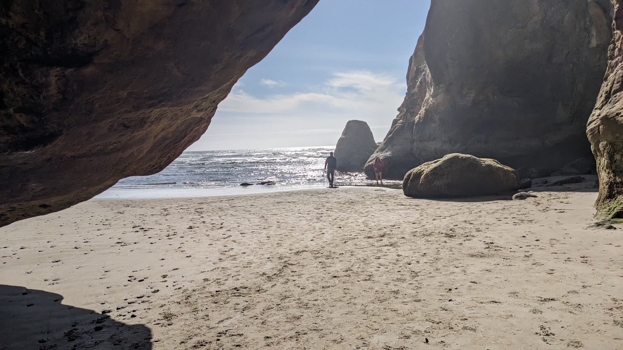
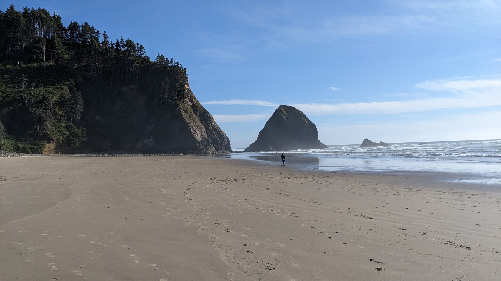
I hiked on the beach for another hour, before leaving it for the final time today. As soon as I was inland I started hiking on a forested trail. I love these bouncy swingbridges!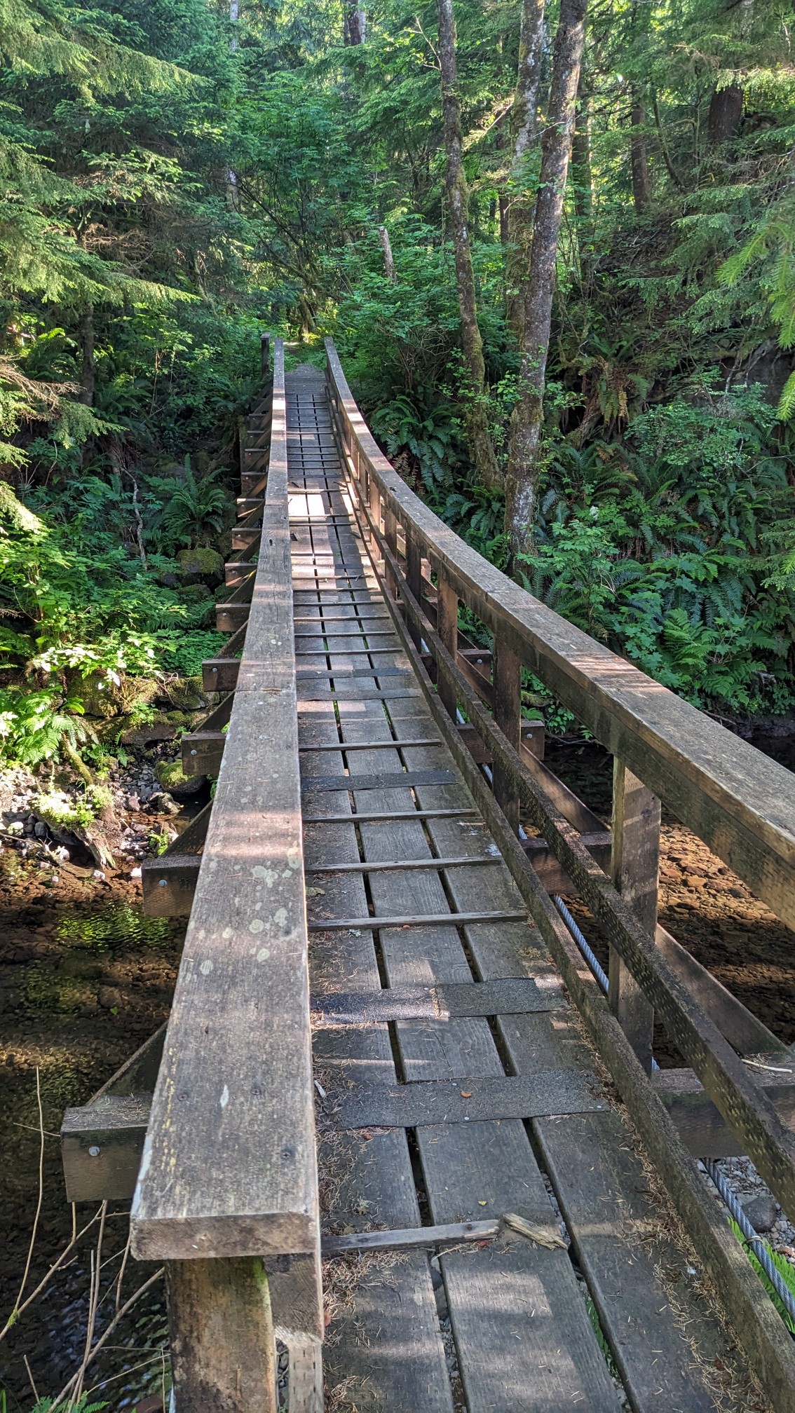
I climbed up and up, to the top of the headland above Cape Falcon.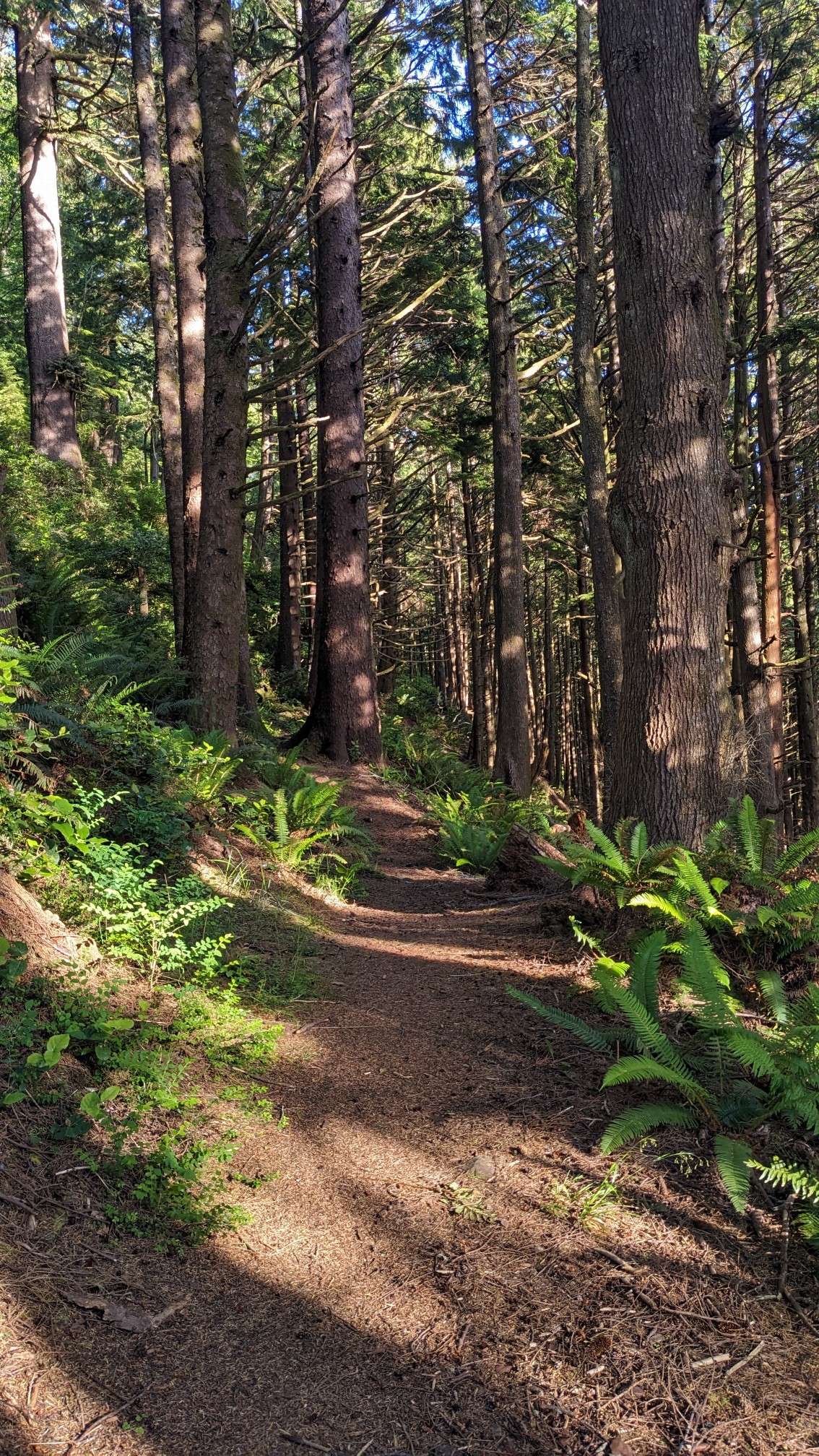
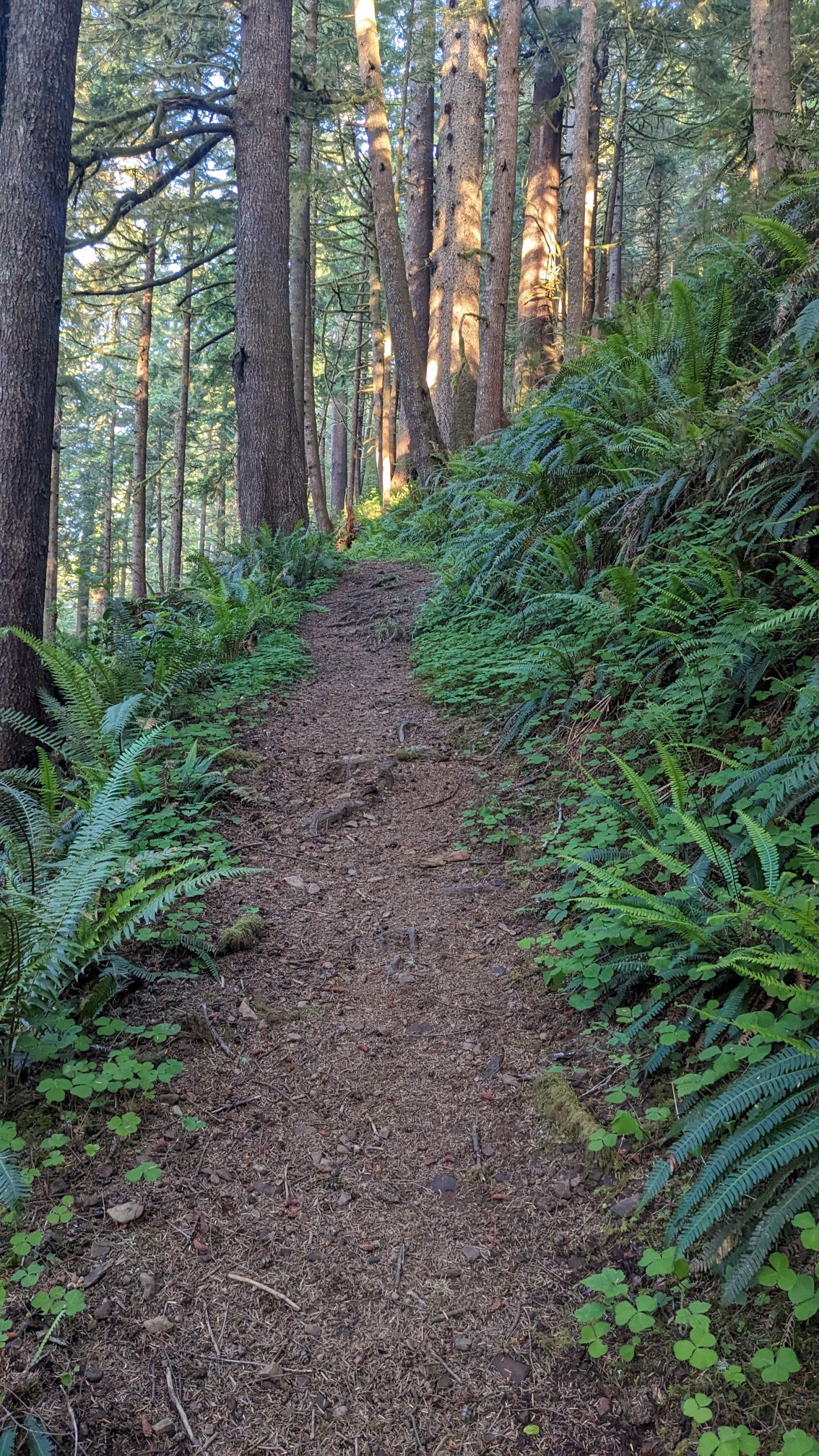
Once I was back up over 1000 feet elevation, I reentered the familiar dark forest.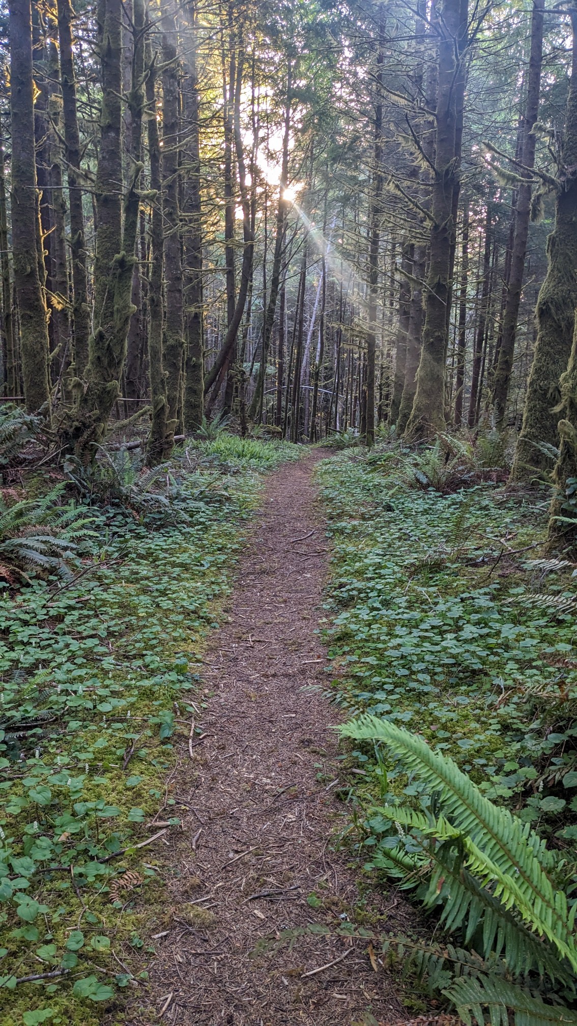
And the trees were completely draped in moss.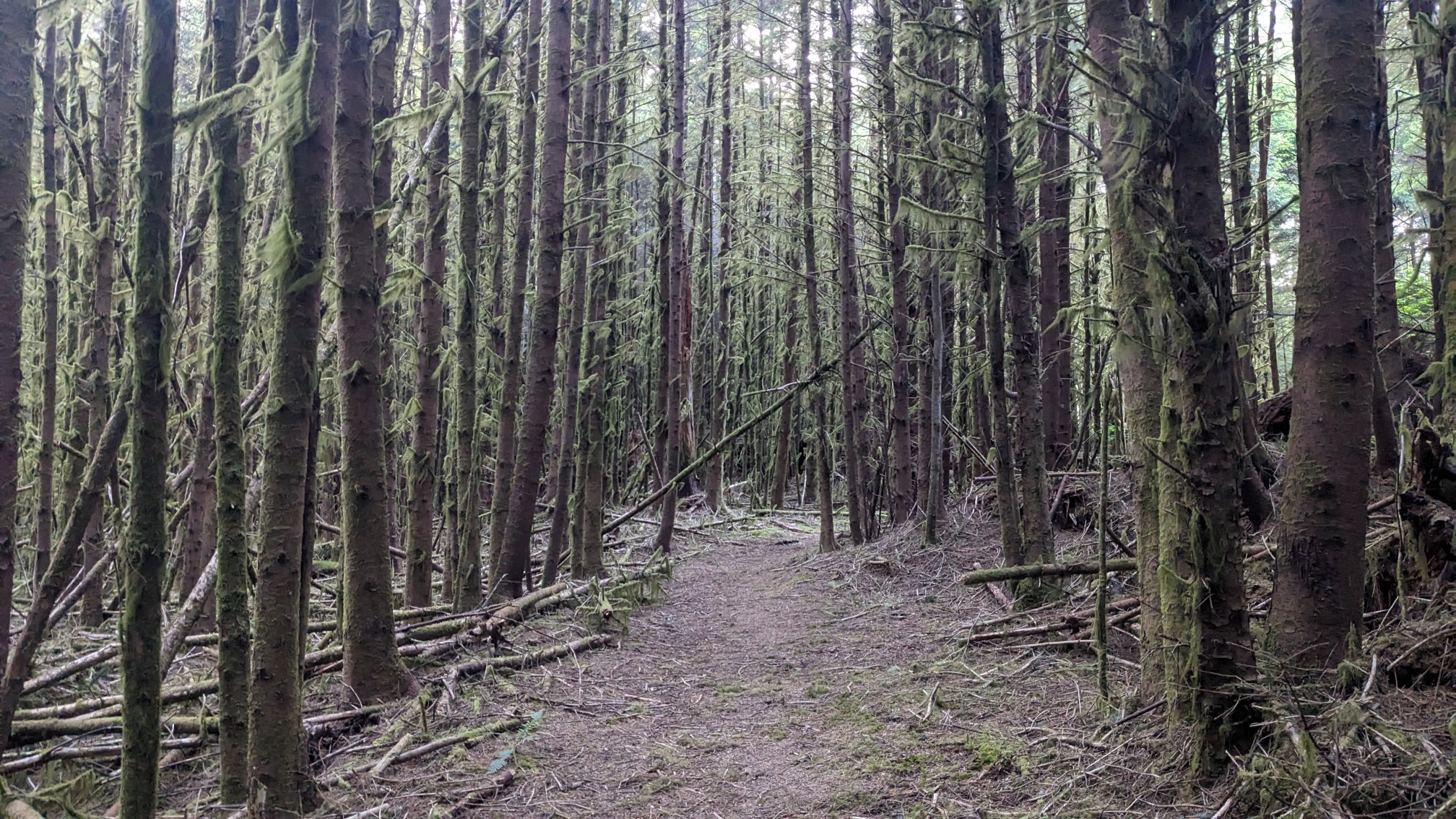
Just before sunset, I got a couple of good views down to Cape Falcon.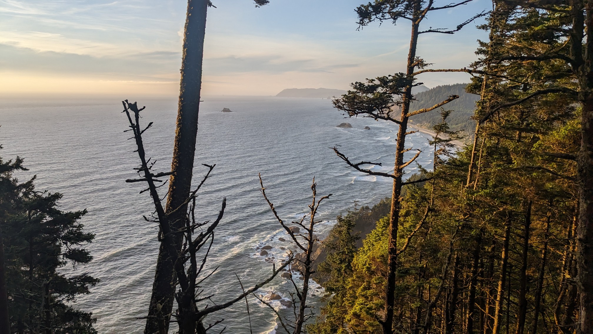
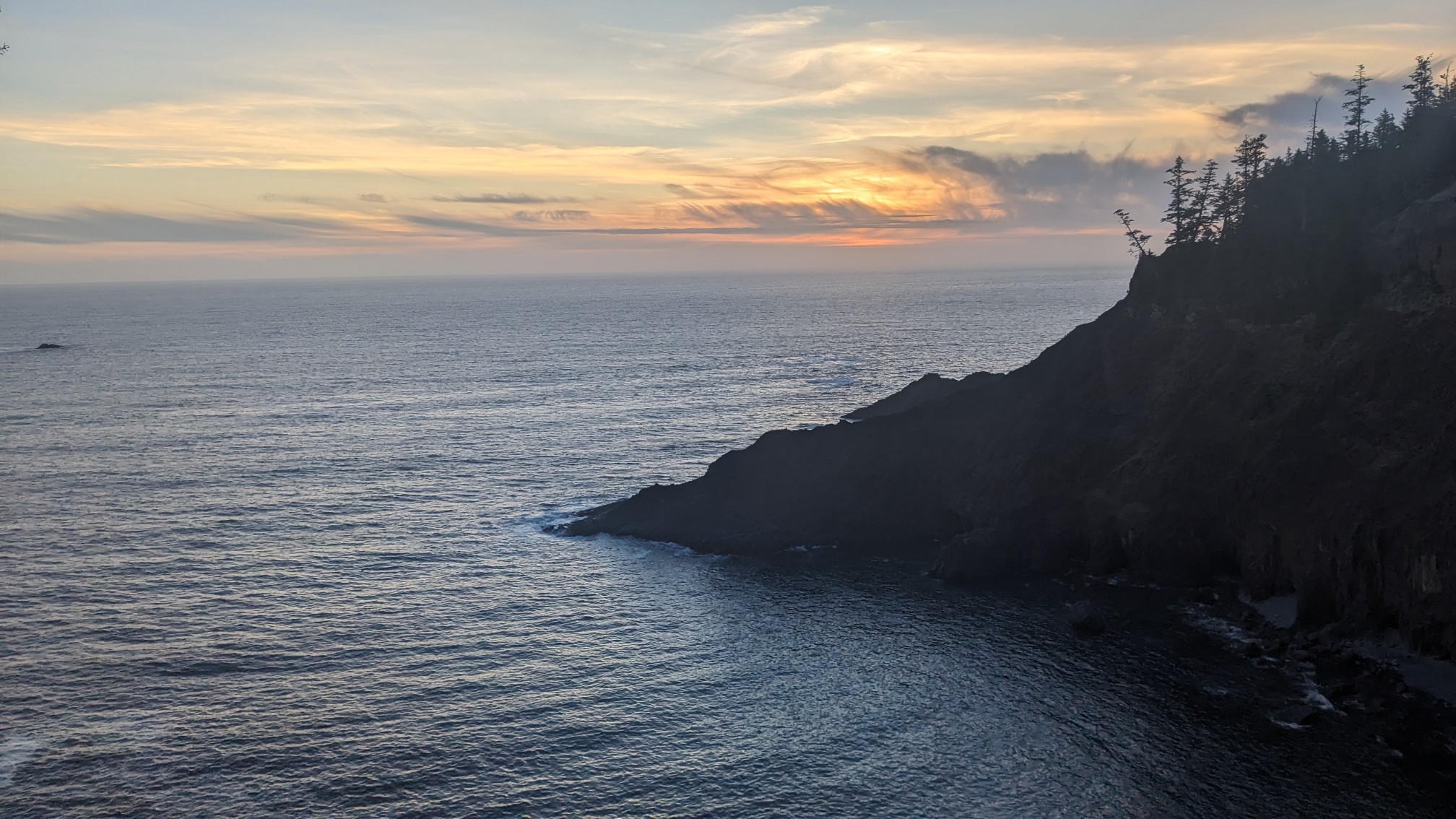
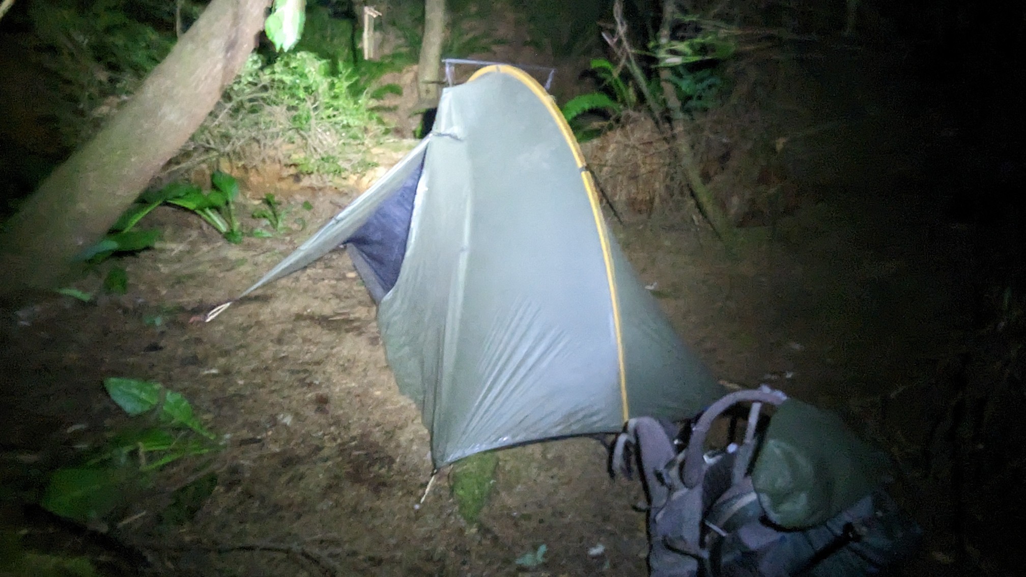
My plan was to camp at a little flat spot near Cape Falcon, but unfortunately that spot had eroded away and was now sliding into the sea hundreds of feet below. So I kept hiking. And hiking. The forest is so dense here that even when the land is flat, there’s no way to camp with all the vegetation. Finally at 9:30pm, after hiking by headlamp for almost an hour, I found a tiny spot tucked under some bushes. Good enough!
