Wednesday June 21, 27.0mi/43.5km
Taft Beach (129.2/10ft) to Newport Yaquina Bay Bridge (157.1/140ft) (OR)
I left the motel pretty late at 10am, but fortunately the miles flew by quickly today. I hiked down Highway 101 for an hour and crossed over Drift Creek.
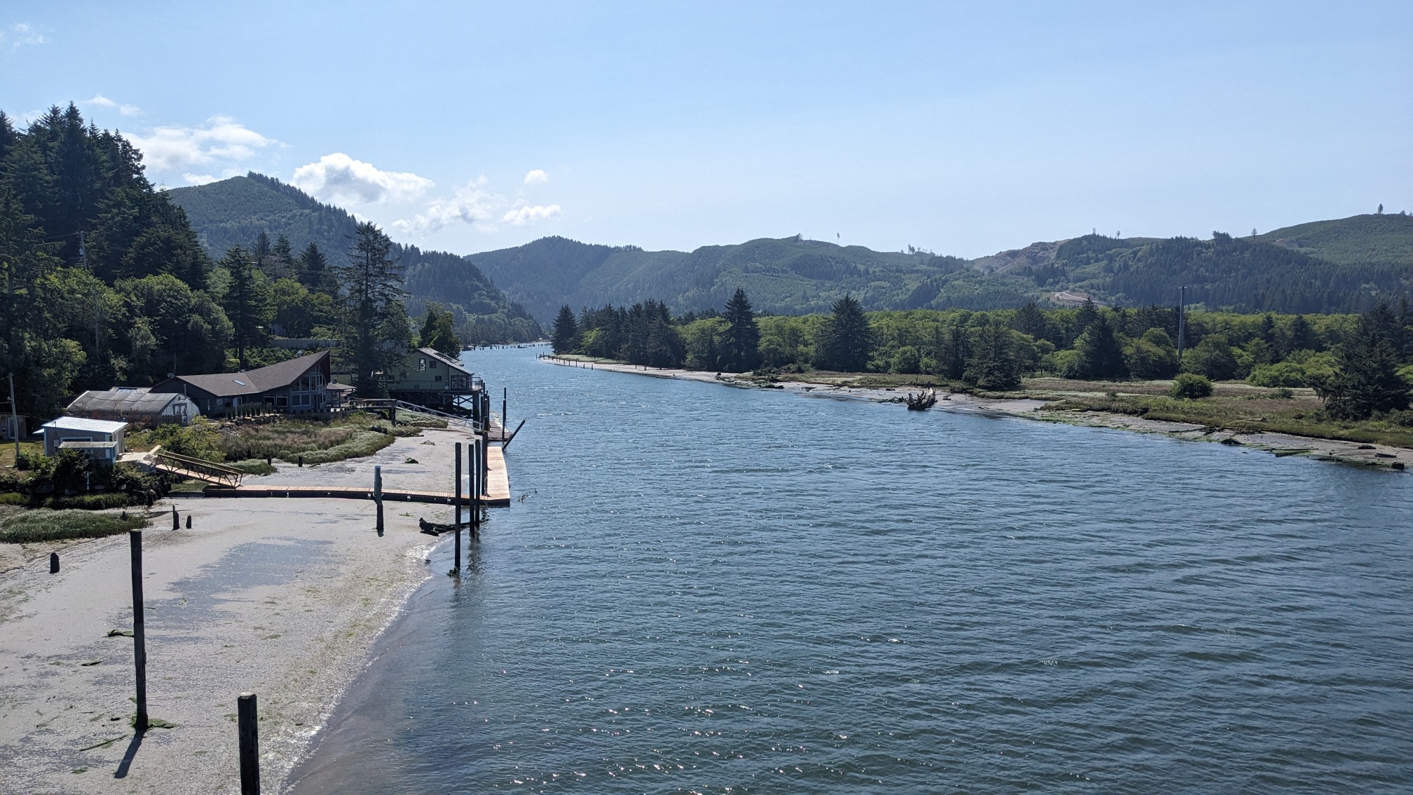
I was glad to leave the highway, and after cutting through a small neighborhood, I was on Gleneden Beach.
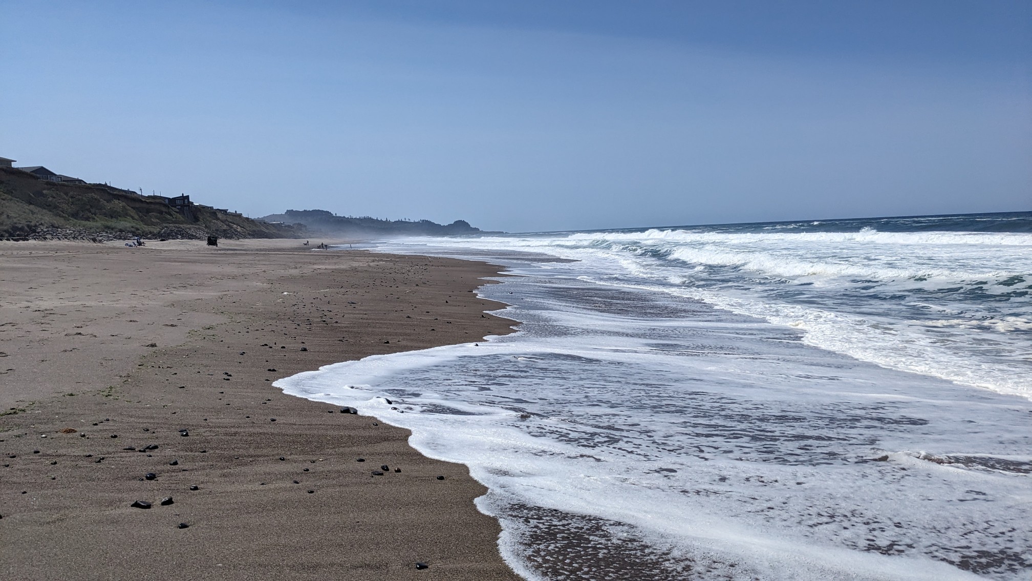
It wasn’t a very long beach, maybe only a couple of miles. Pretty soon I could see the headland that marked the end of the beach.
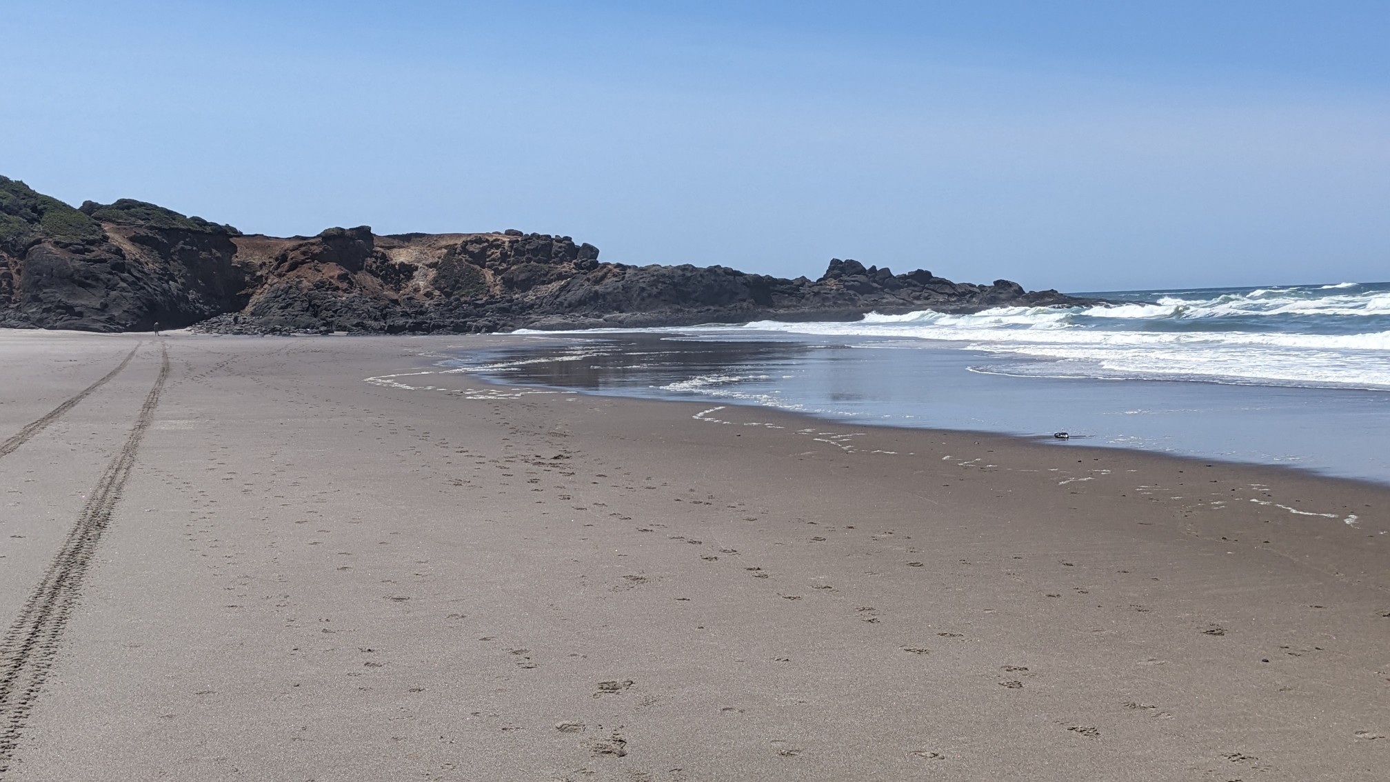
As usual, I exited up one of the official entry/exit points that are marked with these neon yellow signs.
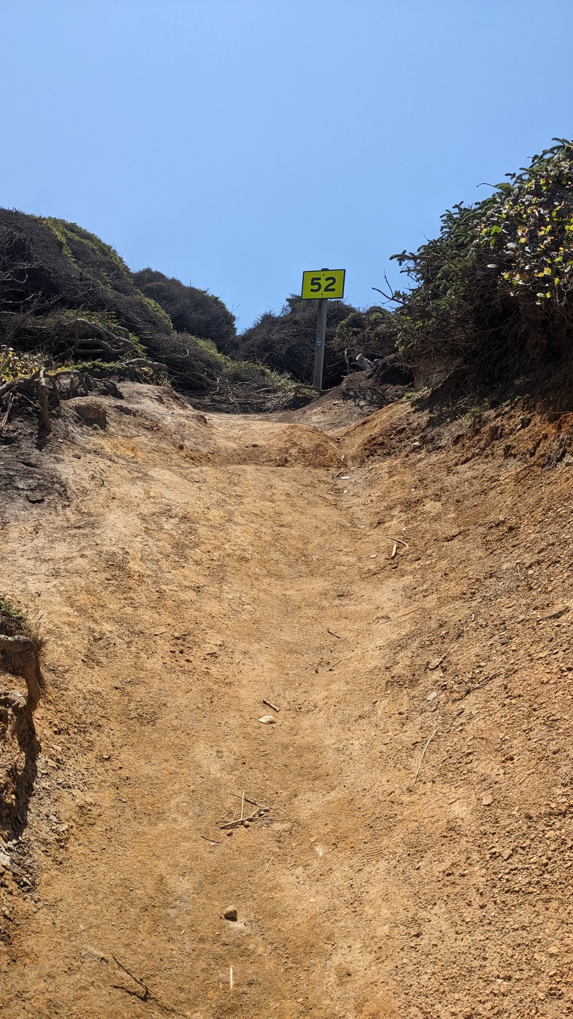
I climbed up onto the headland, and even though it was very short, it still had a great view from the top.
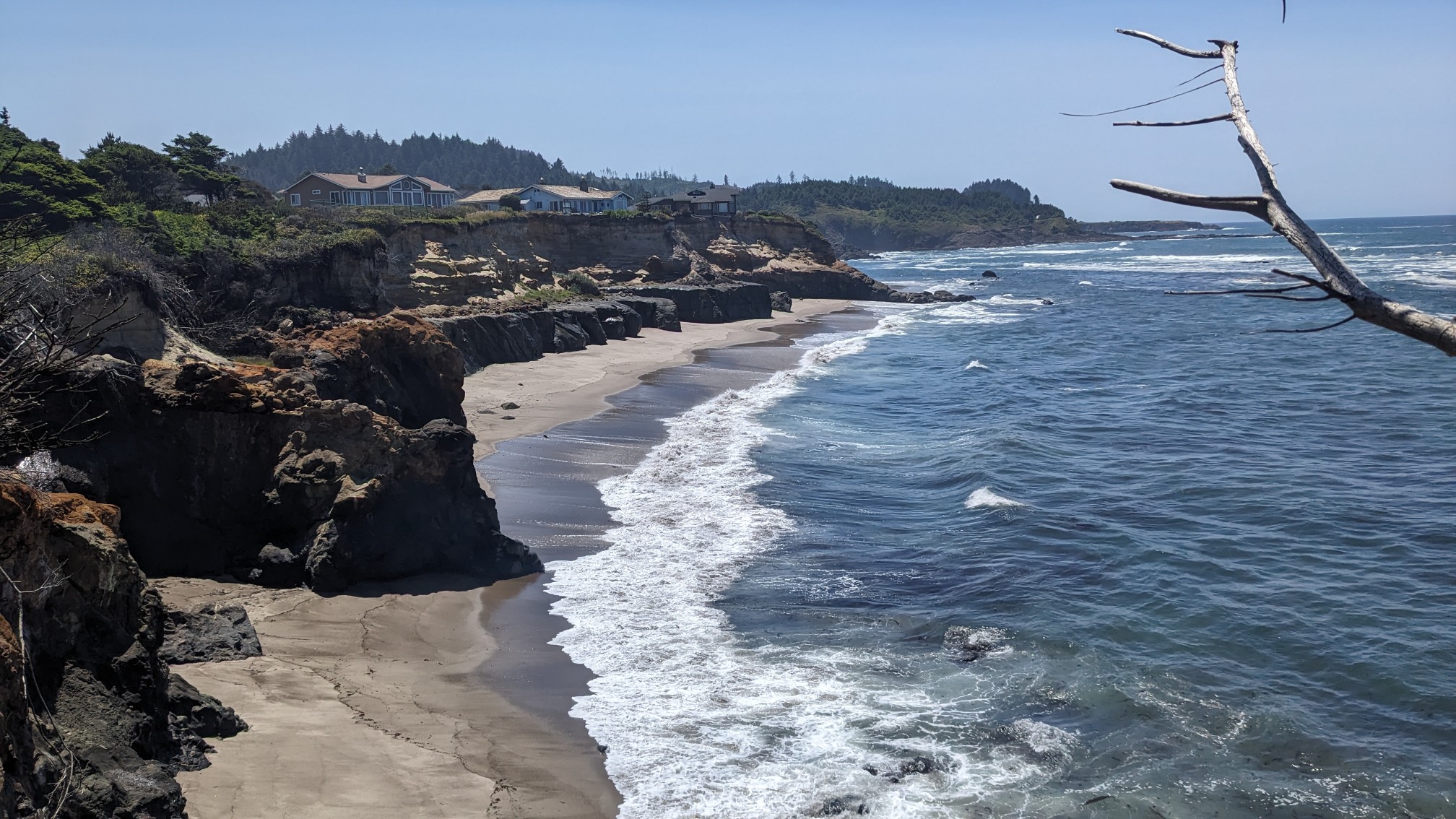
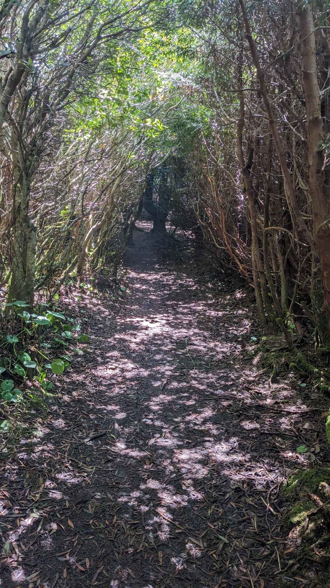
The trail cut through the vegetation, which was so thick it made a kind of tunnel.
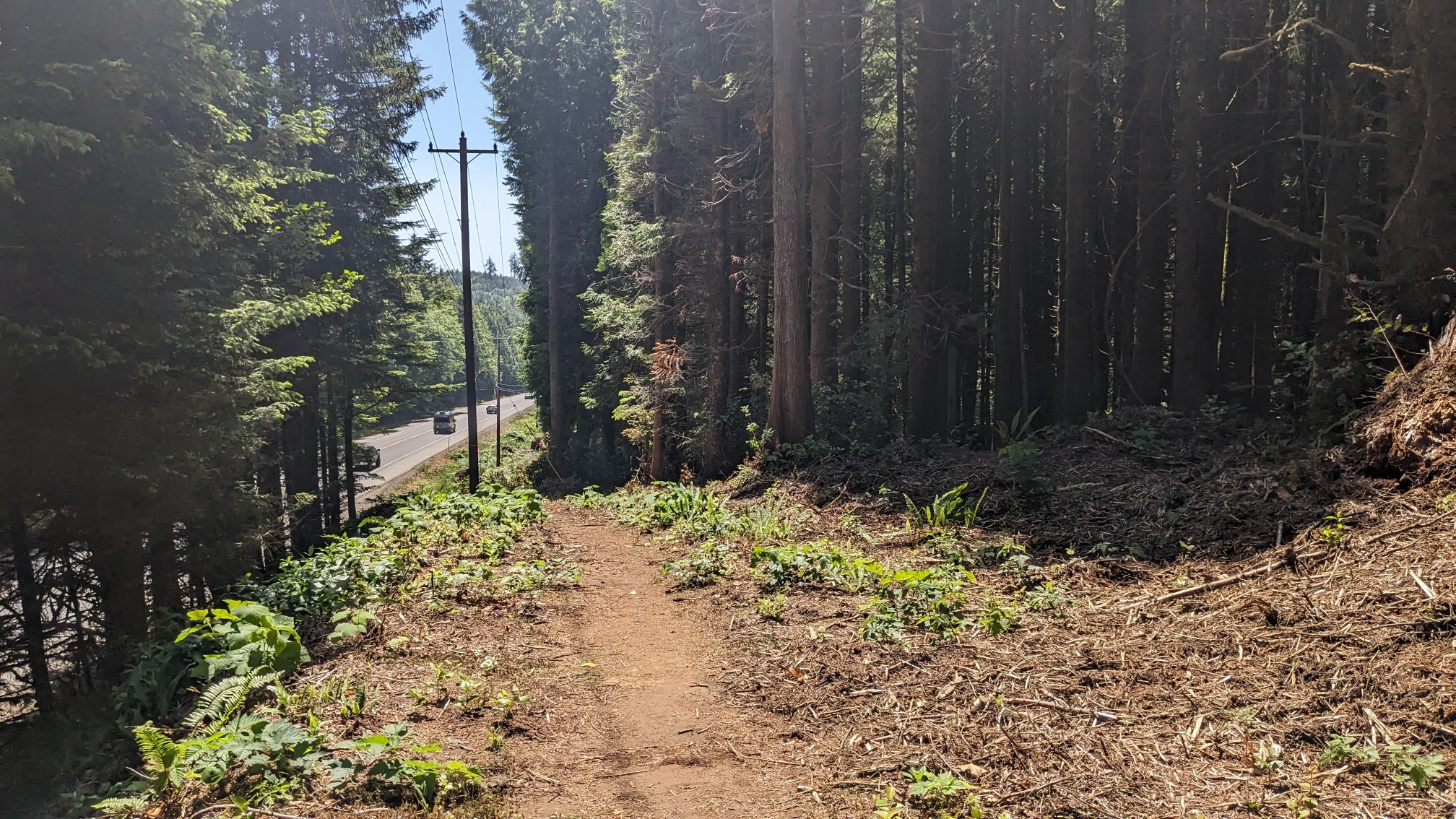
I emerged back on Highway 101, but this time I didn’t have to walk directly on the highway, since there was a trail right next to it underneath the power lines.
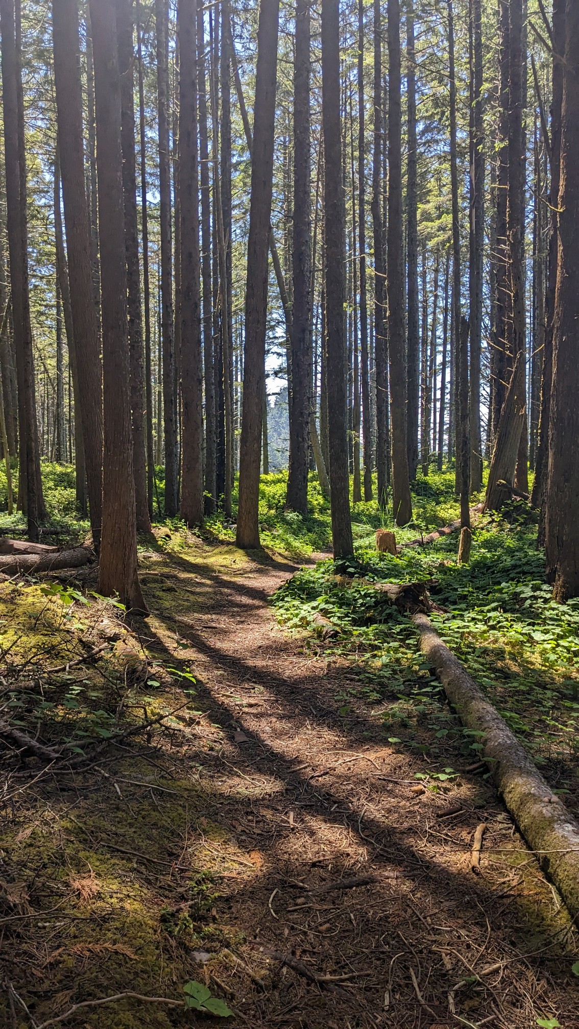
Occasionally the trail meandered away from the highway and went through some really neat looking mossy forests.
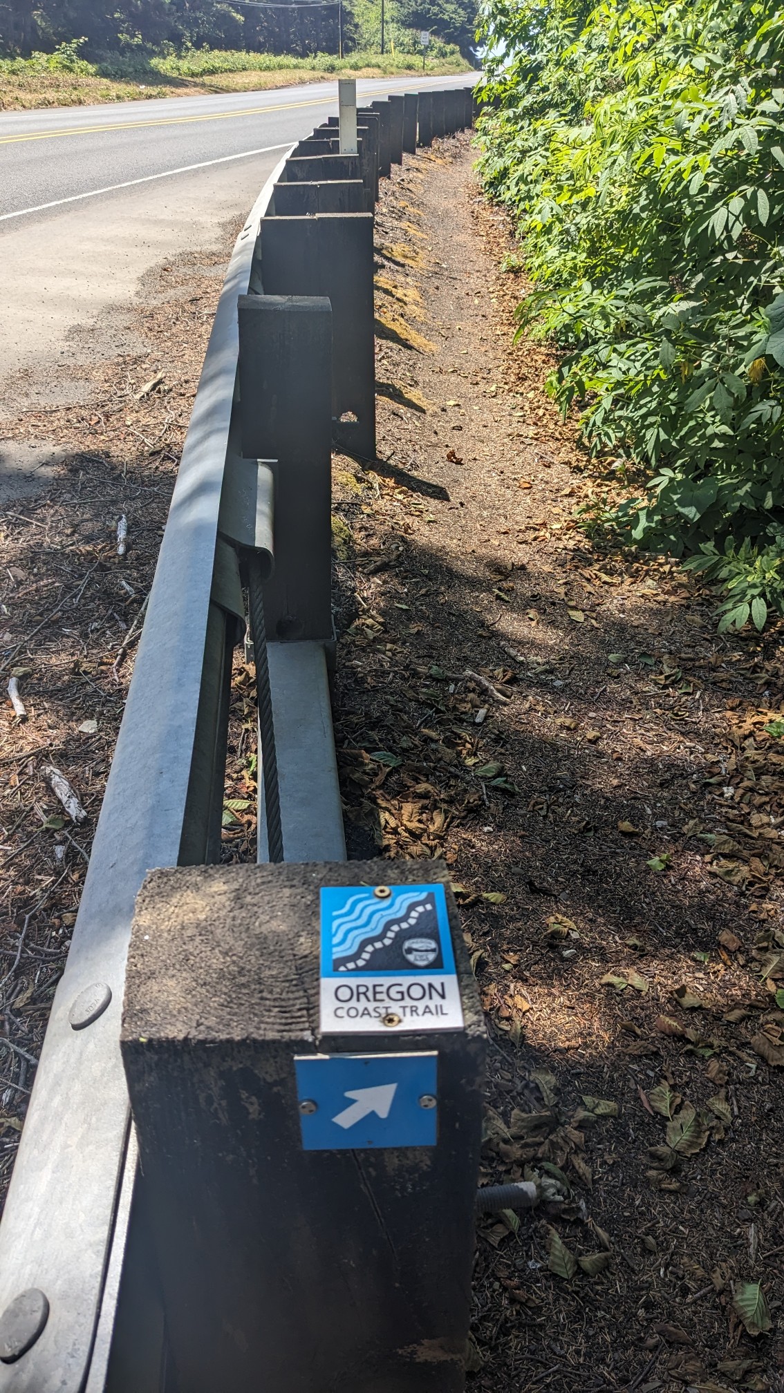
And then it returned to the highway. This section was pretty funny since it traveled directly behind the guiderail.
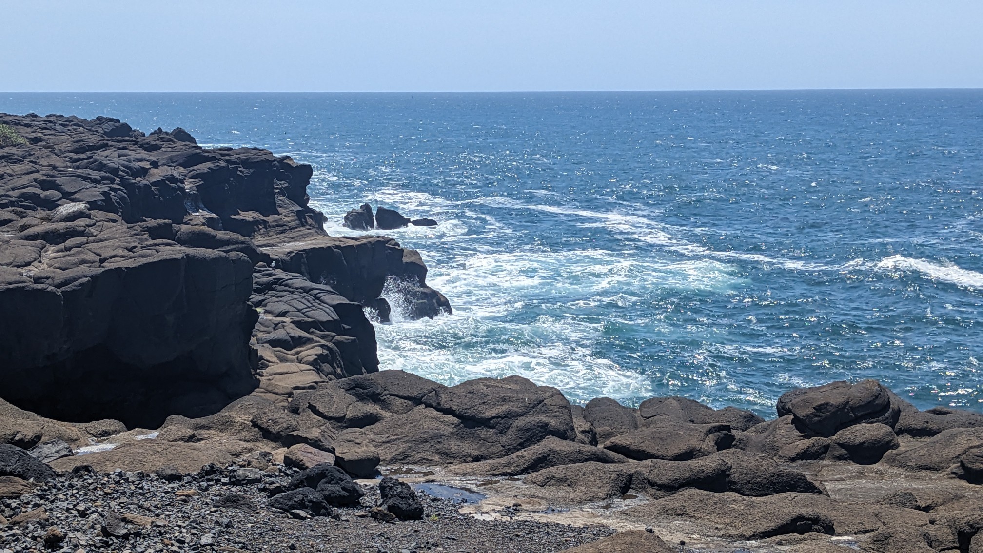
This amazing little spot was called Boiler Bay State scenic viewpoint.
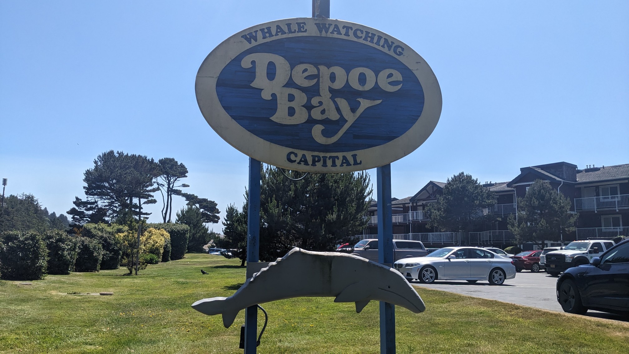
Next I walked through Depoe Bay, which was the whale watching capital of the world.
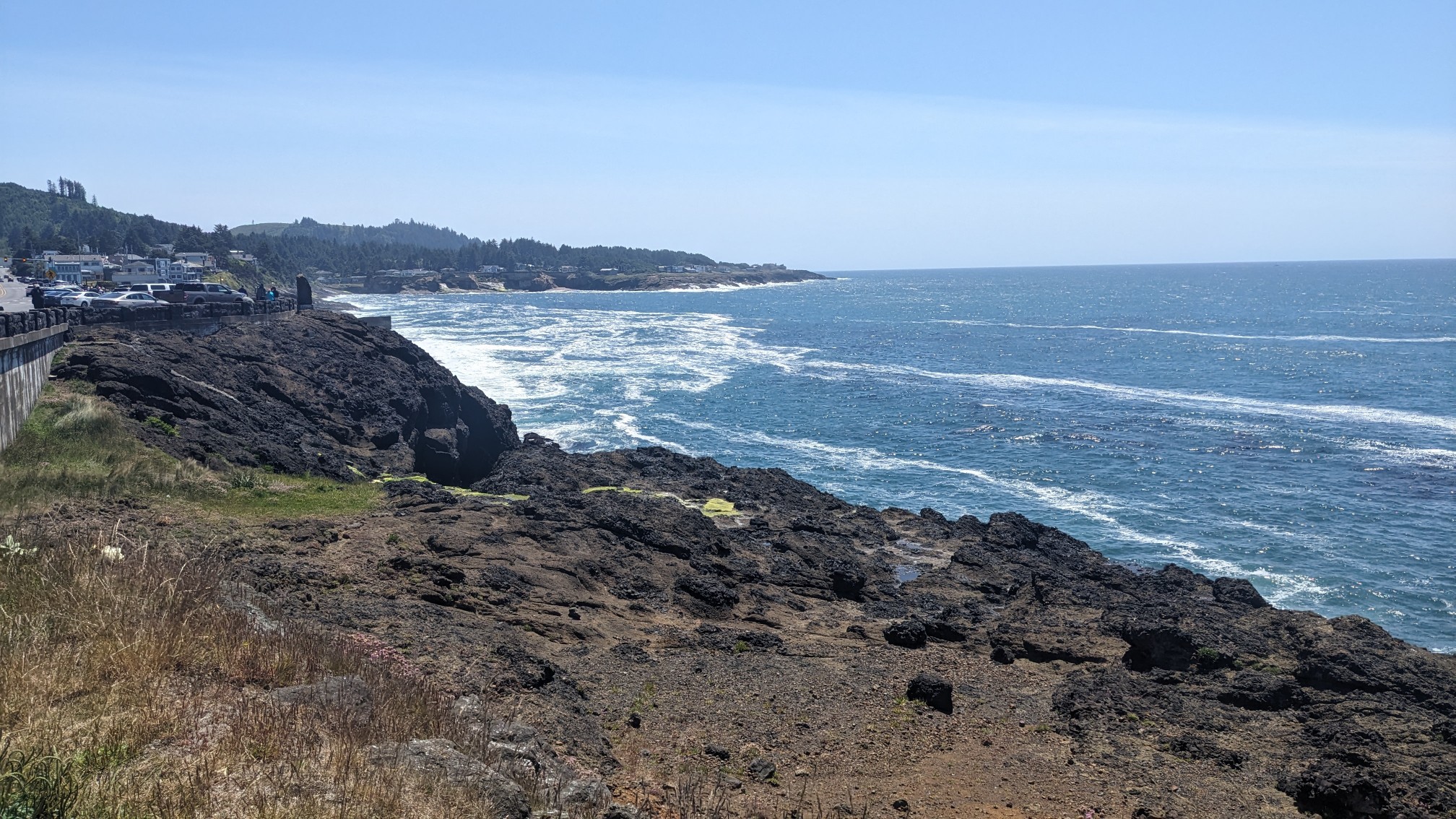
The ocean is very deep here since the land drops off a cliff into the sea, and the whales can swim pretty close to shore.
Apparently it’s also the world’s smallest harbor!
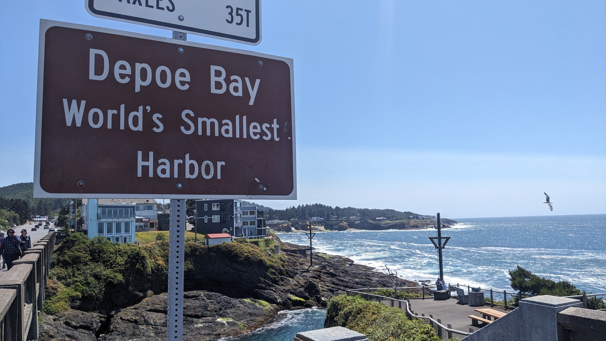
There were tons of people walking around and window shopping in all the little buildings. It kinda reminded me of the village of Lake Placid, except it was next to an ocean. Normally I would stop for a snack or ice cream but I got a late start and needed to keep moving.
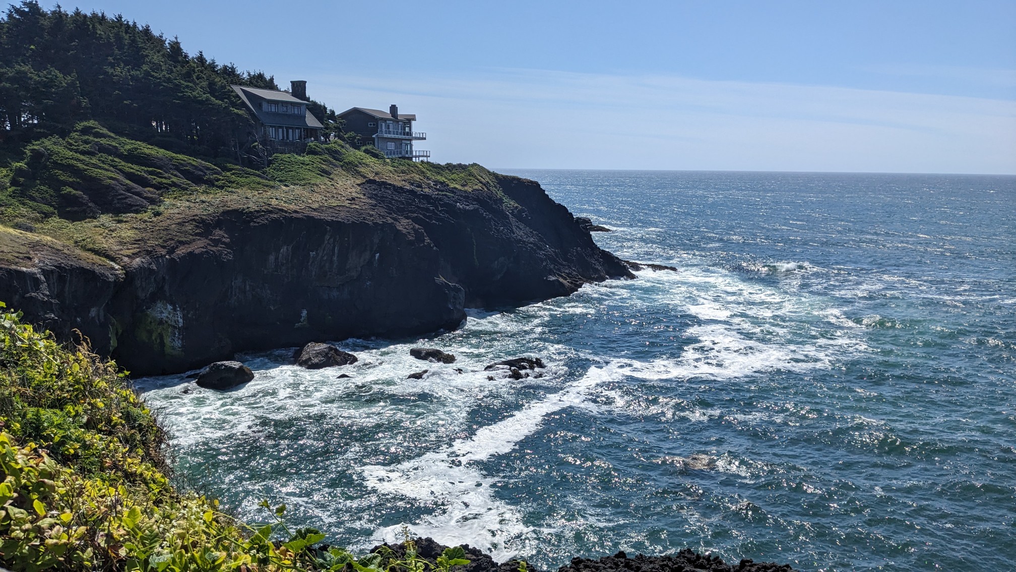
I hiked through the Rocky Creek State scenic area, which had some cool little coves that made semi-musical noises when the high tide waves struck them, kind of like a symphony. I hiked a couple miles uphill to the top of Cape Foulweather.
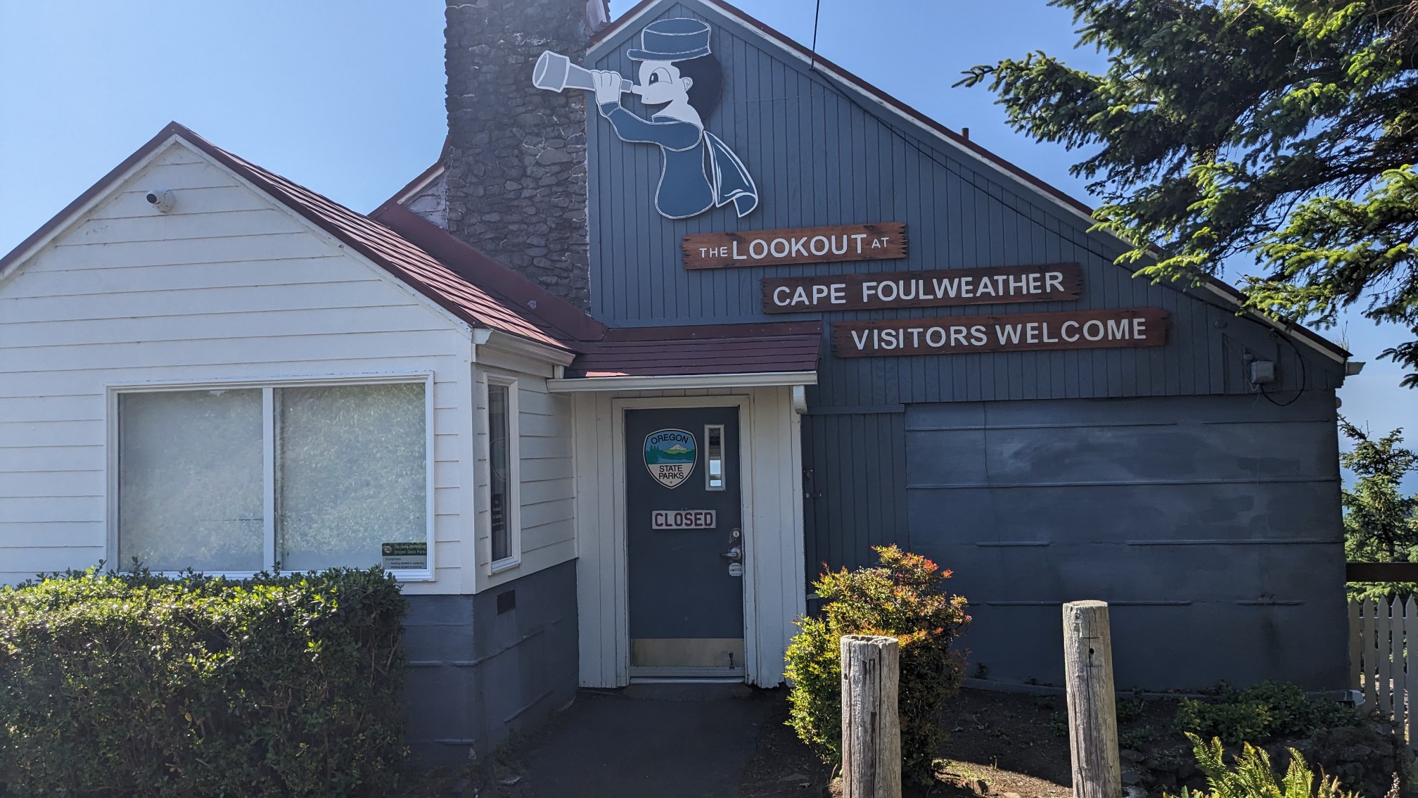
The visitor Center was closed, but there were still views to be had.
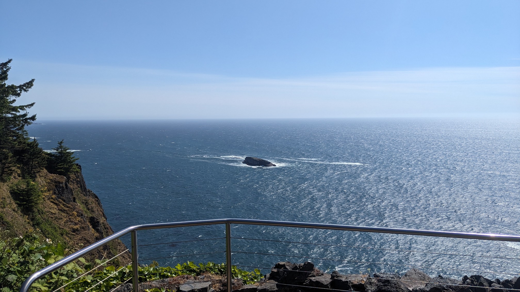
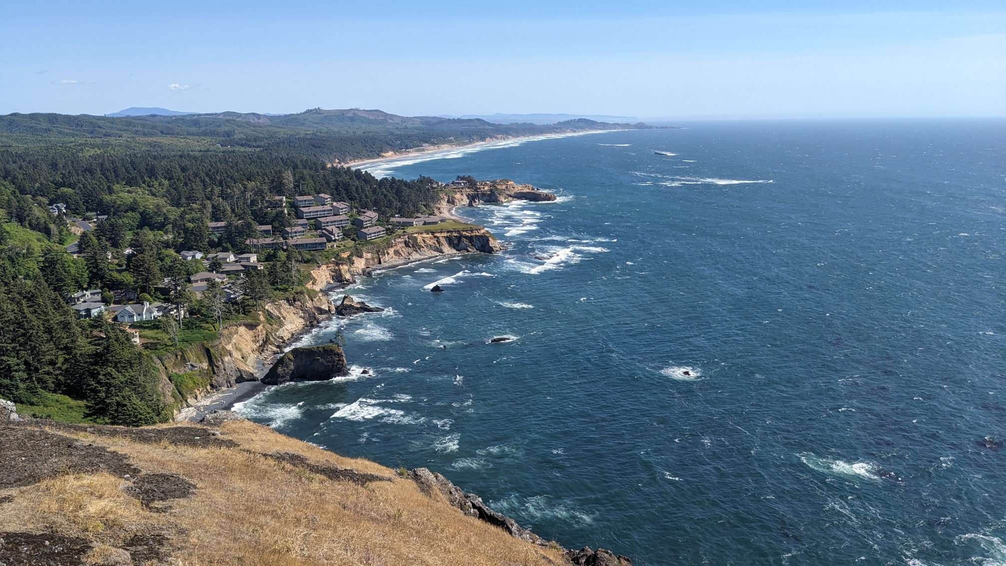
The spot was quite popular with tourists, so I was able to get somebody to take a photo of me.
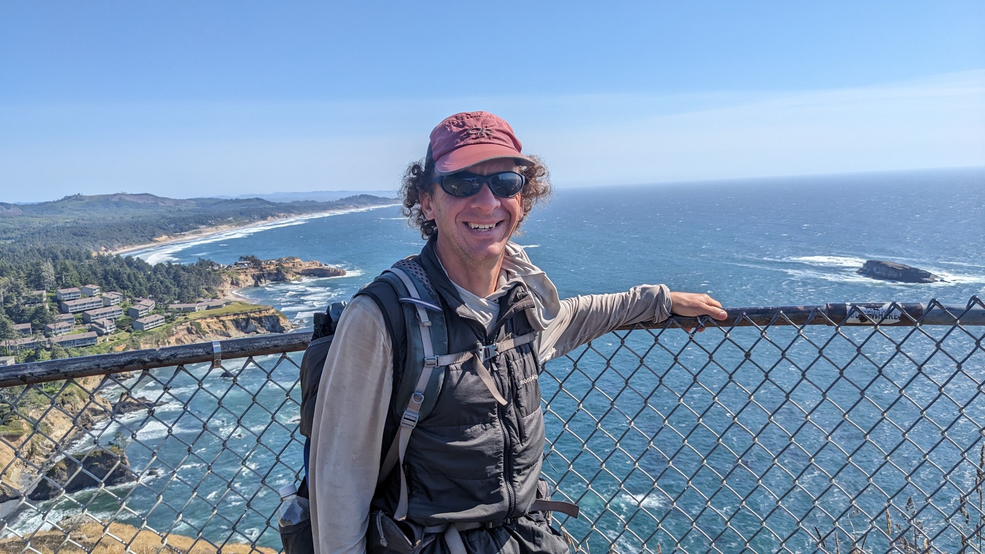
It was pretty cold and windy up there, even on a nice sunny day. I could see how it earned the name Cape Foulweather. I hiked downhill for a couple miles back to sea level, and arrived at the Devil’s Punchbowl Park.
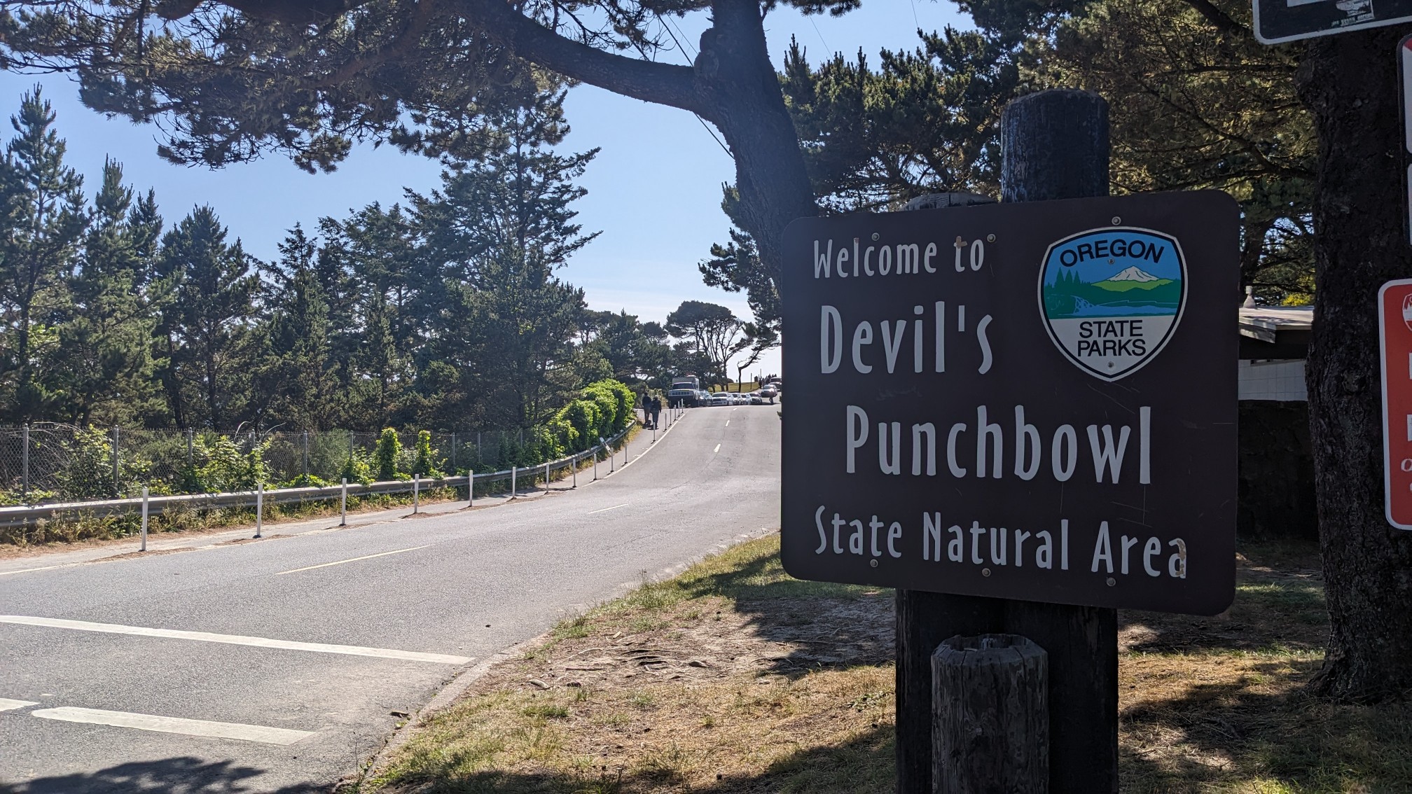
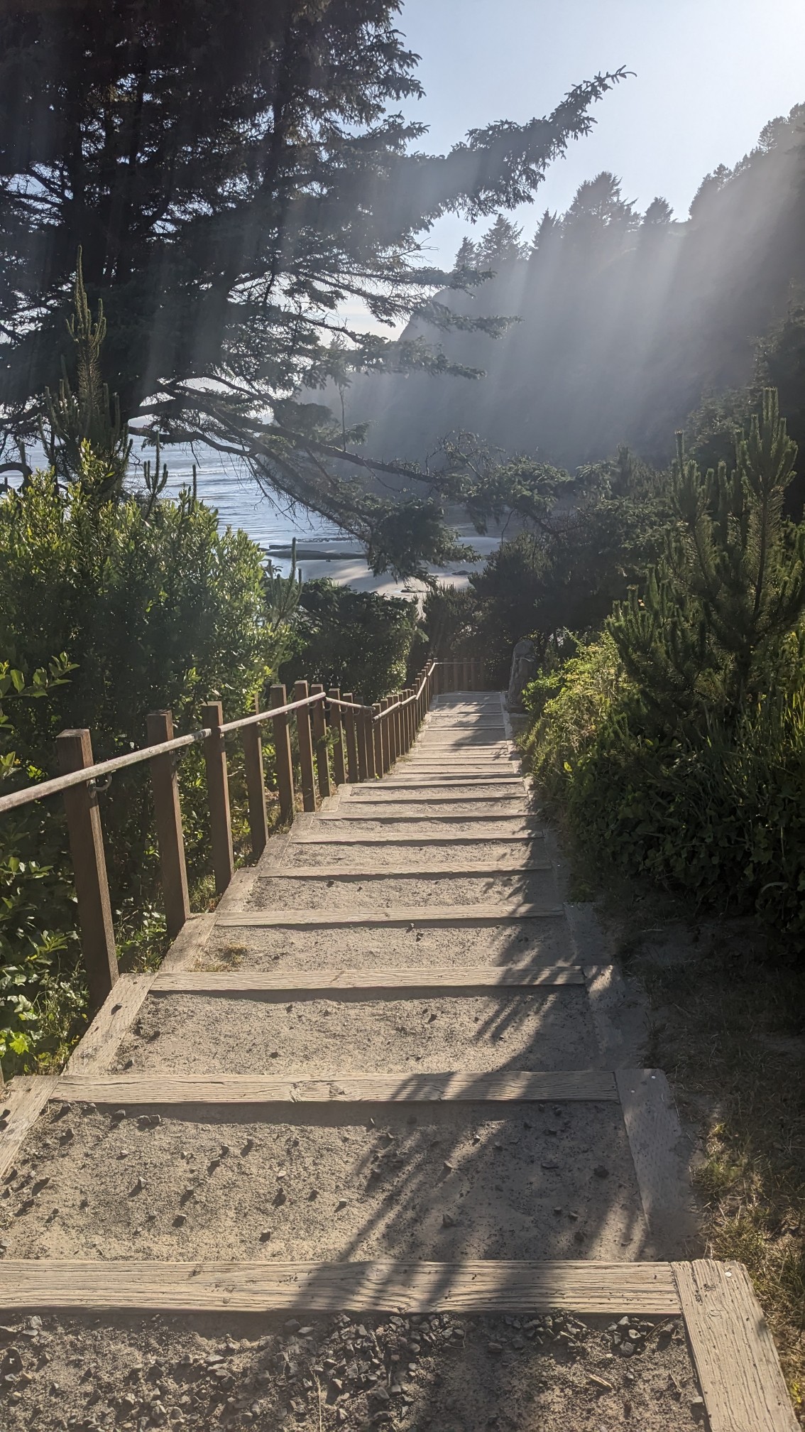
The punchbowl is a hollow rock formation, where the water churns violently at high tide. Since it was low tide, there was nothing to see. So I took the stairs down to the beach and enjoyed another beach walk.
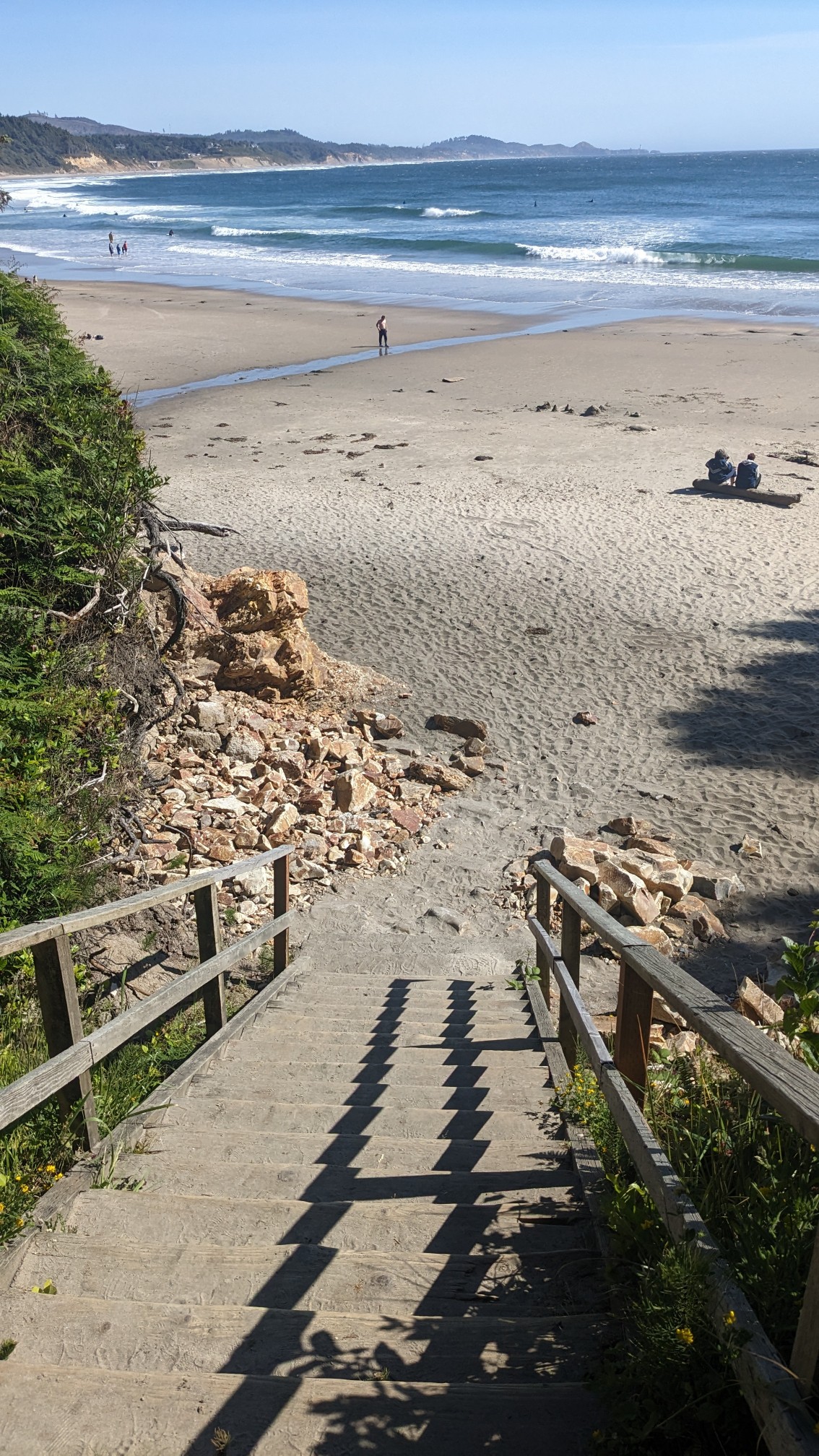
I think this was called Beverly Beach.
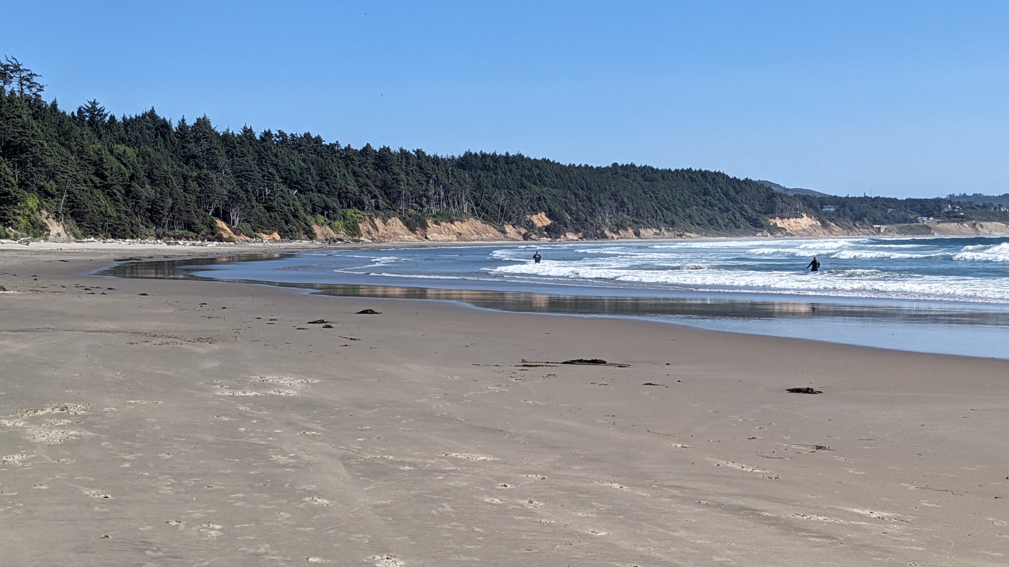
And this one was Moolack Beach.
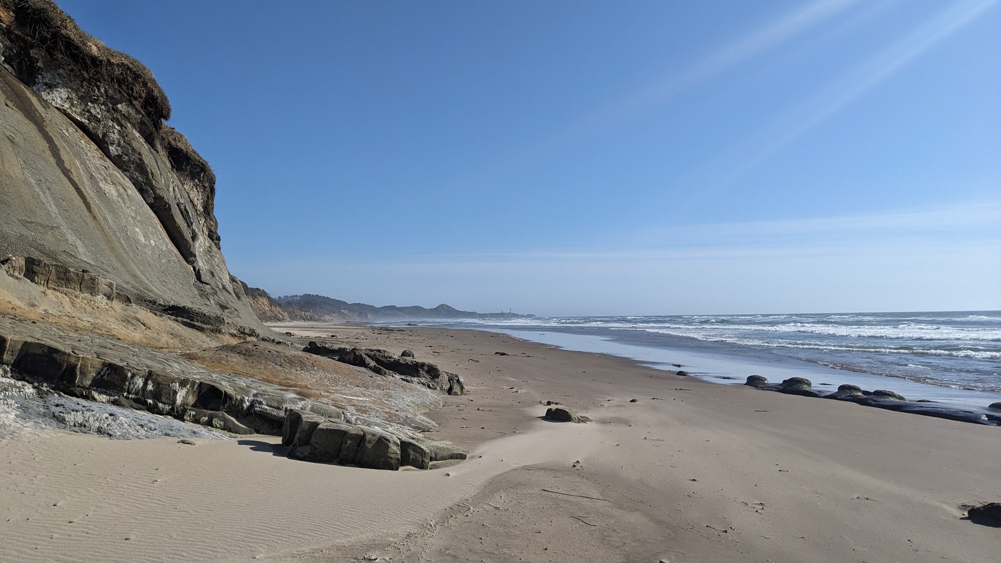
By now the tide was starting to come in, so I had to hike up on the road for a mile to get around a tight spot. But pretty soon I dropped down to the beach again. This one was called Agate Beach, and it was very popular with surfers.
It was also very windy and full of dunes.
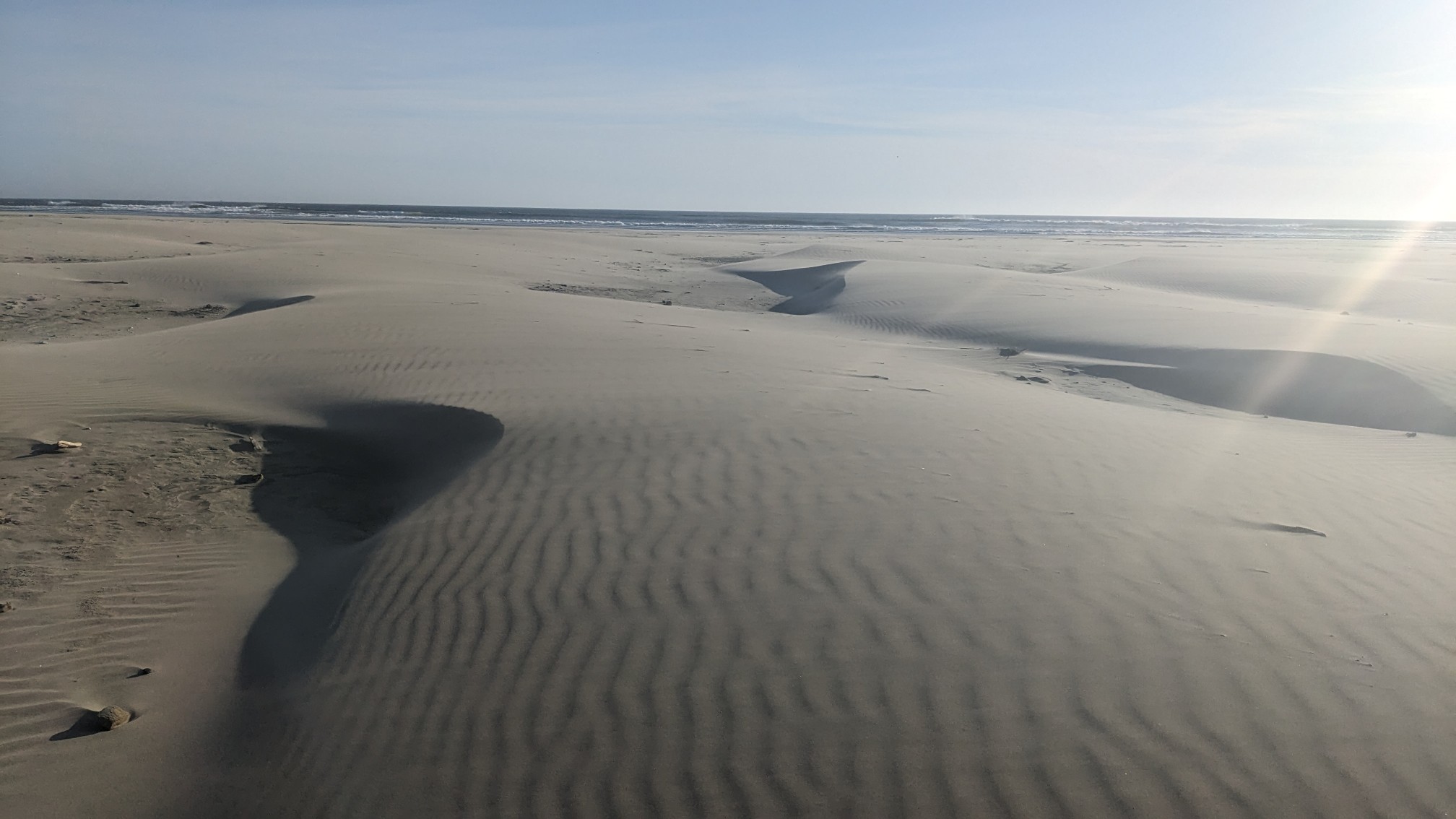
I looked behind me to see Yaquina Head, and its namesake lighthouse.
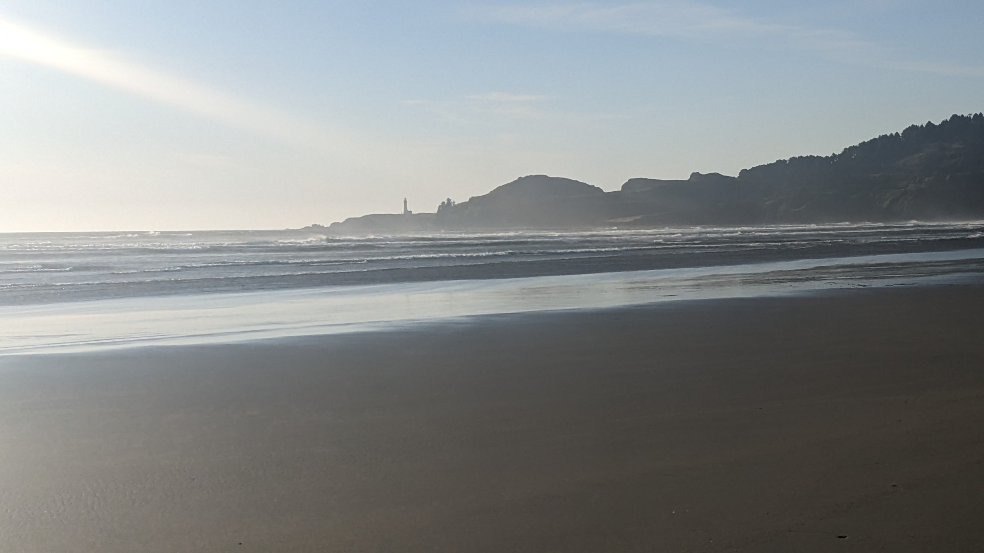
By now it was 7pm so I walked quickly down Nye Beach for a couple miles, and then left the beach at another lighthouse. This one was called Yaquina Bay lighthouse.
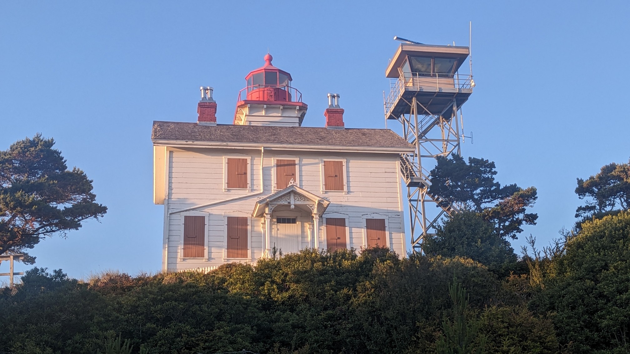
I walked through the little park, and pretty soon I was in the city of Newport. I could see the Yaquina Bay Bridge, which I would be crossing the next day.
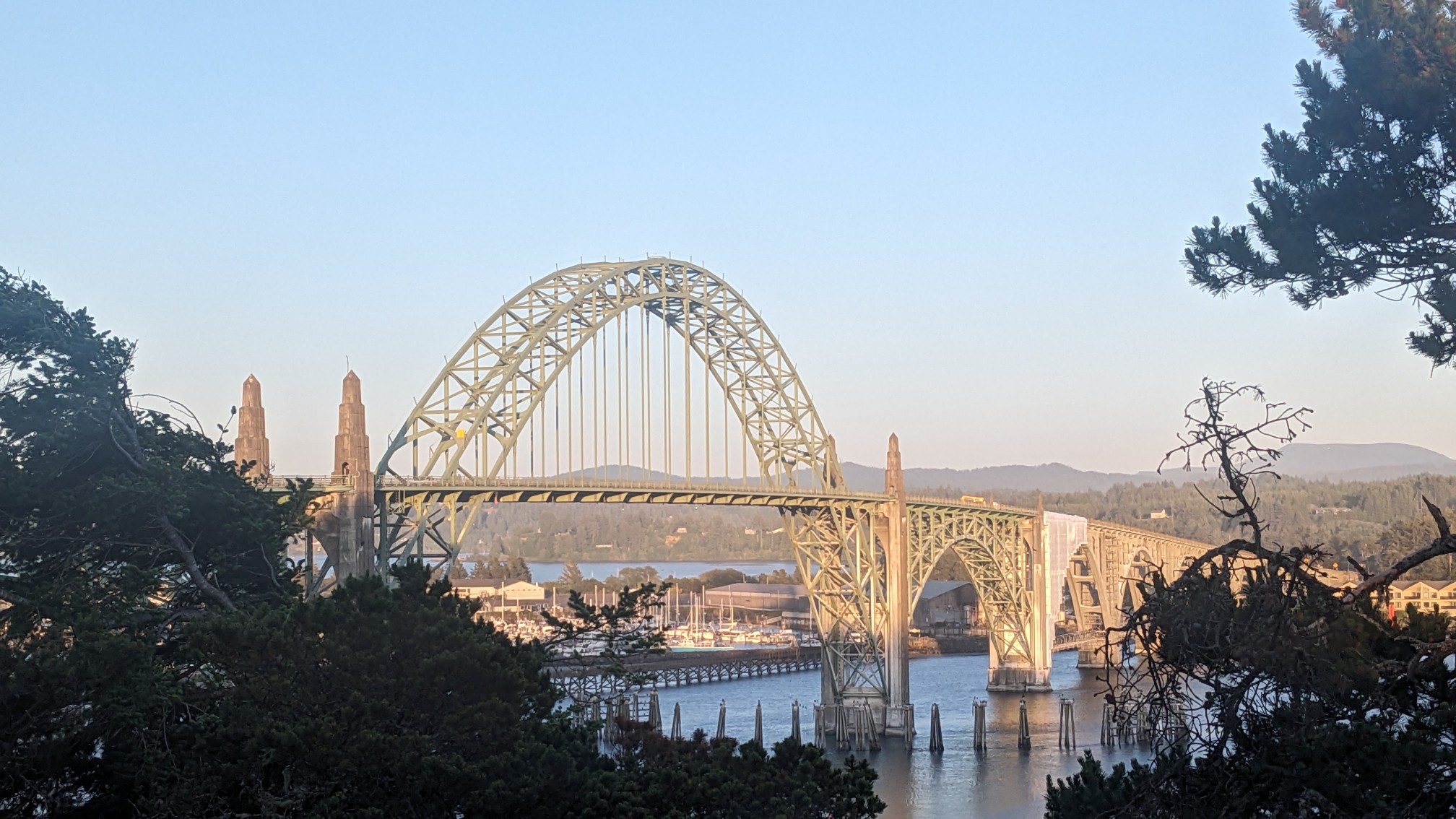
Since there is no place to camp near the city, I unfortunately had to get a motel room. I walked half a mile through the little city, pausing briefly at the little attractions.
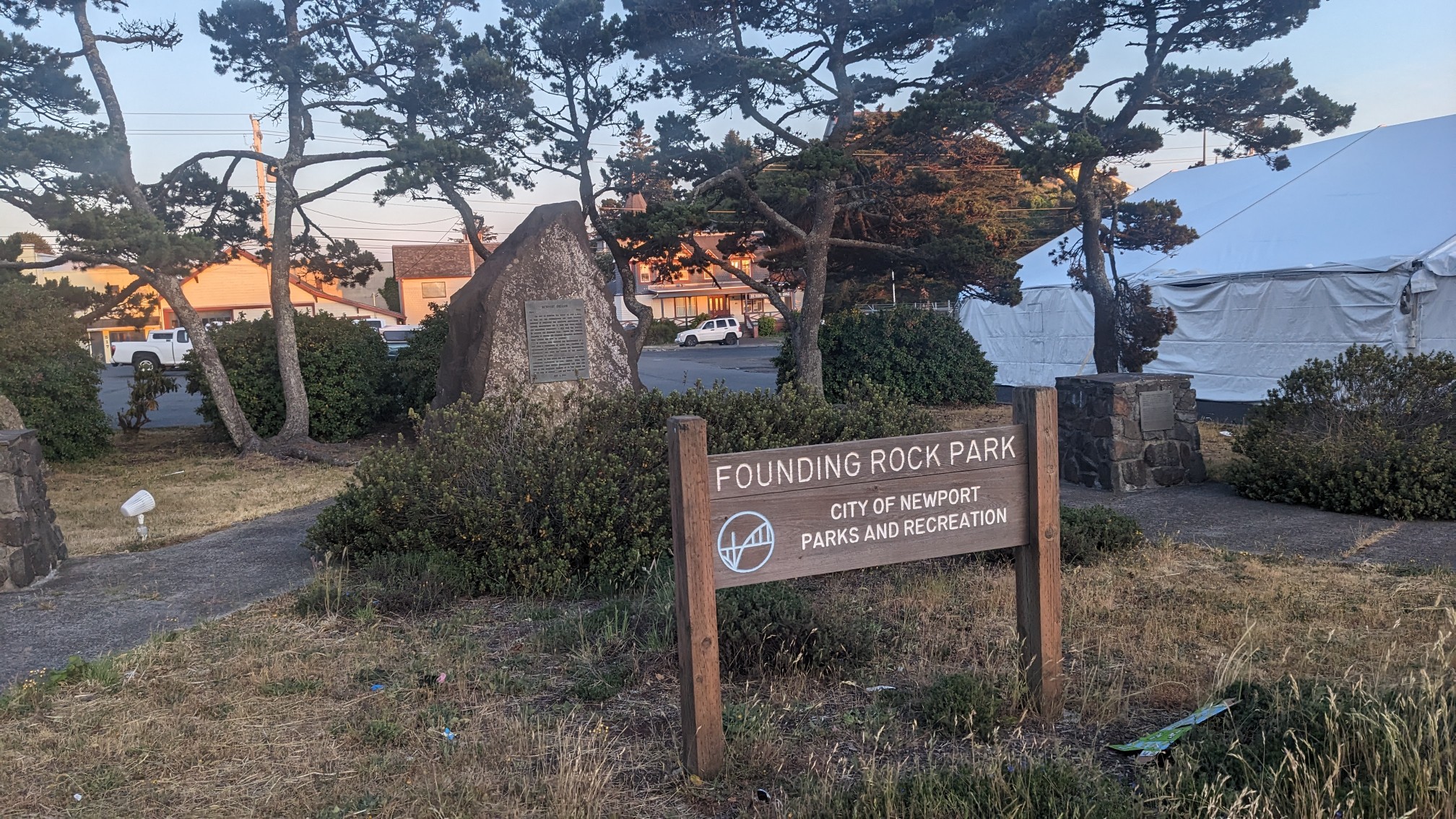
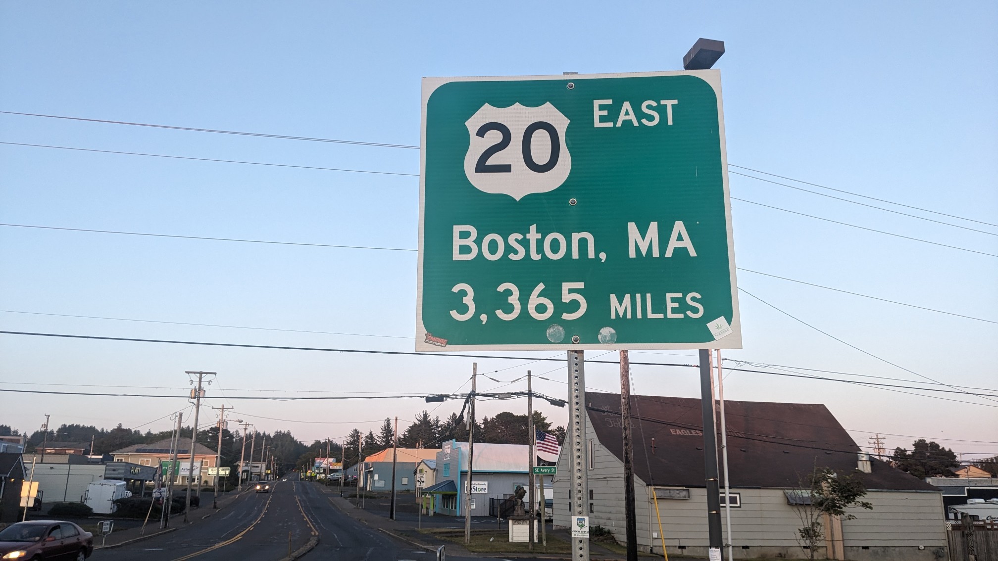
I thought this sign was hilarious, since this is the western end of US Highway 20, and the eastern end is at Kenmore Square in Boston, near where I used to work.
I checked into my motel room, dropped off my stuff, and then walked down the street to get a quick meal since it was almost 9pm. I was in bed an hour later, with my alarm set for 5:30am. My plan is to take a couple days off the trail, and meet up with a friend who is visiting the Pacific coast in Washington. So I’m catching a 6:15am bus to make that happen!