Tuesday June 27, 18.4mi/29.6km
Florence town (217.0/20ft) to Sparrow Park Road (234.8/23ft) (OR) +0.6mi crossing streams
After taking care of a bunch of errands, I finally left the hostel at 11am. One of my tasks was to renew my PO box, and since the USPS website isn’t working I need to go to a local post office to renew. Finally I leave town at noon and cross the bridge over the Siuslaw River.
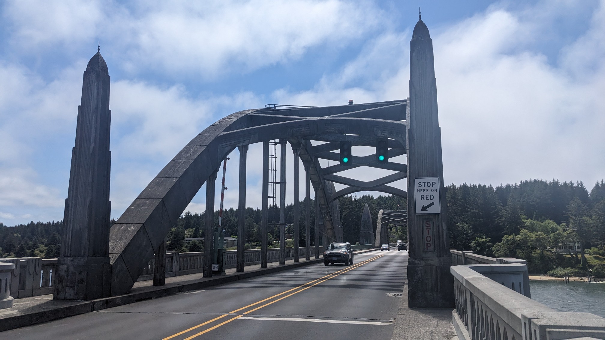
It’s a nice day today, and I could see across the bay to the ocean.
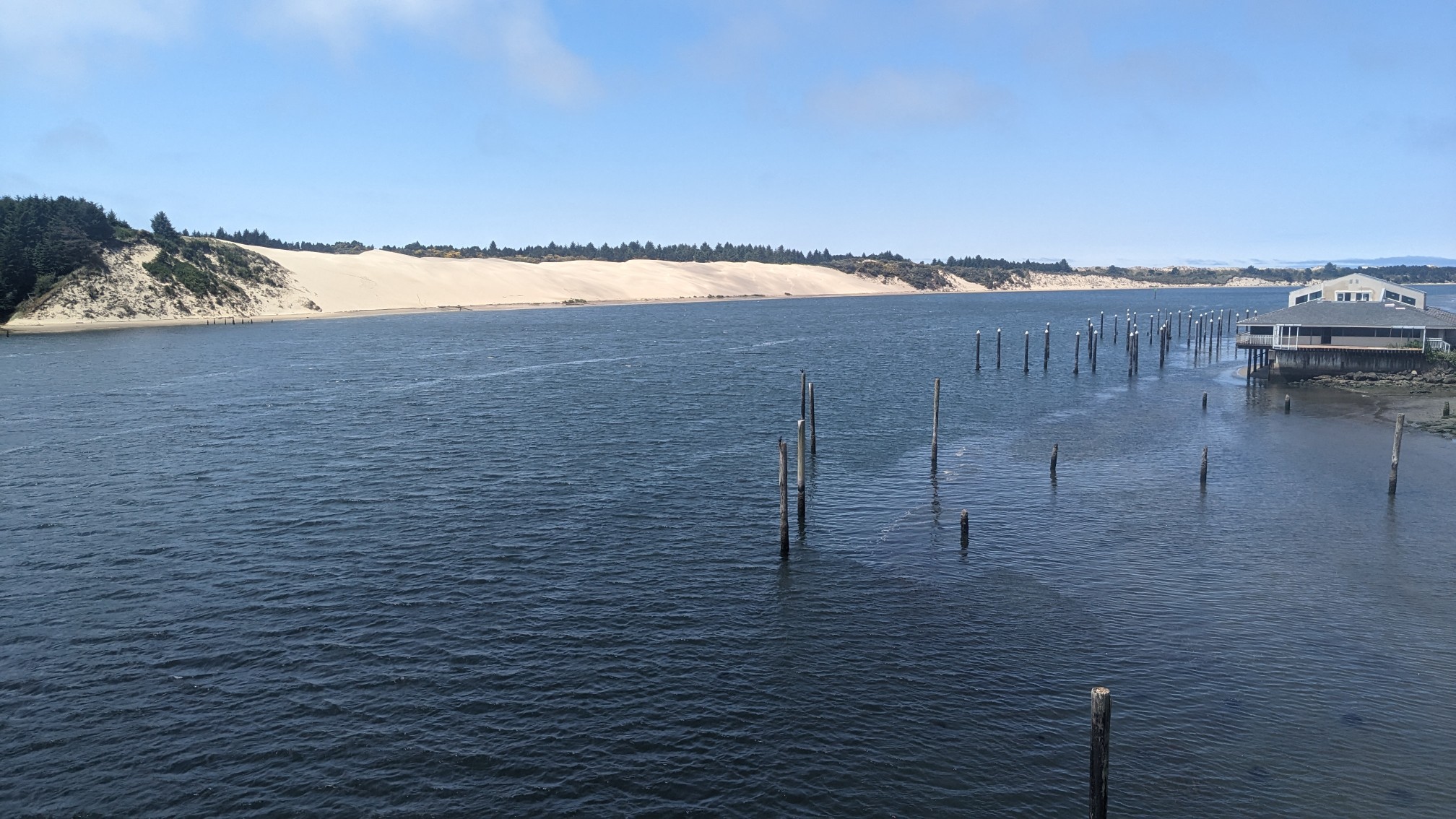
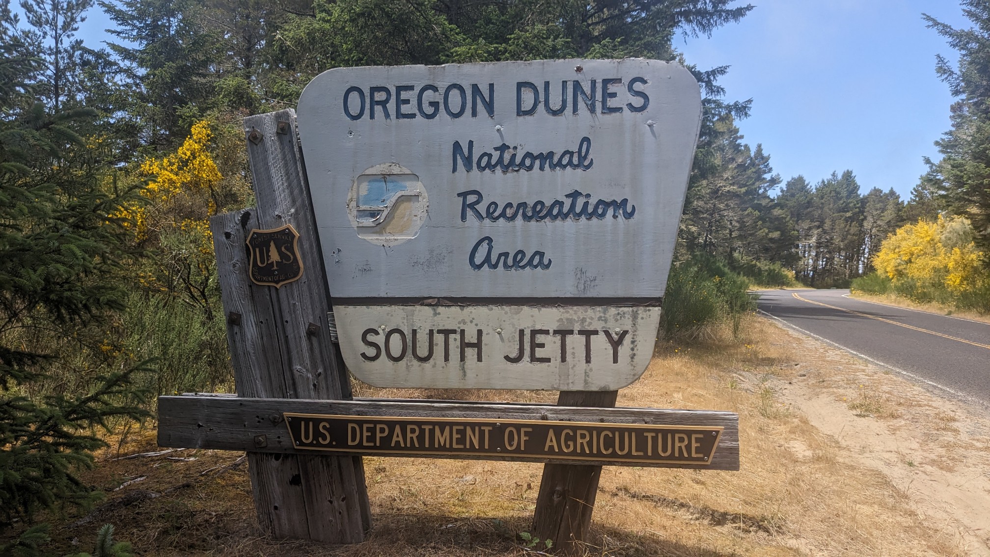
I leave the highway after a mile and walk down the access road to the Oregon Dunes National Recreation area.
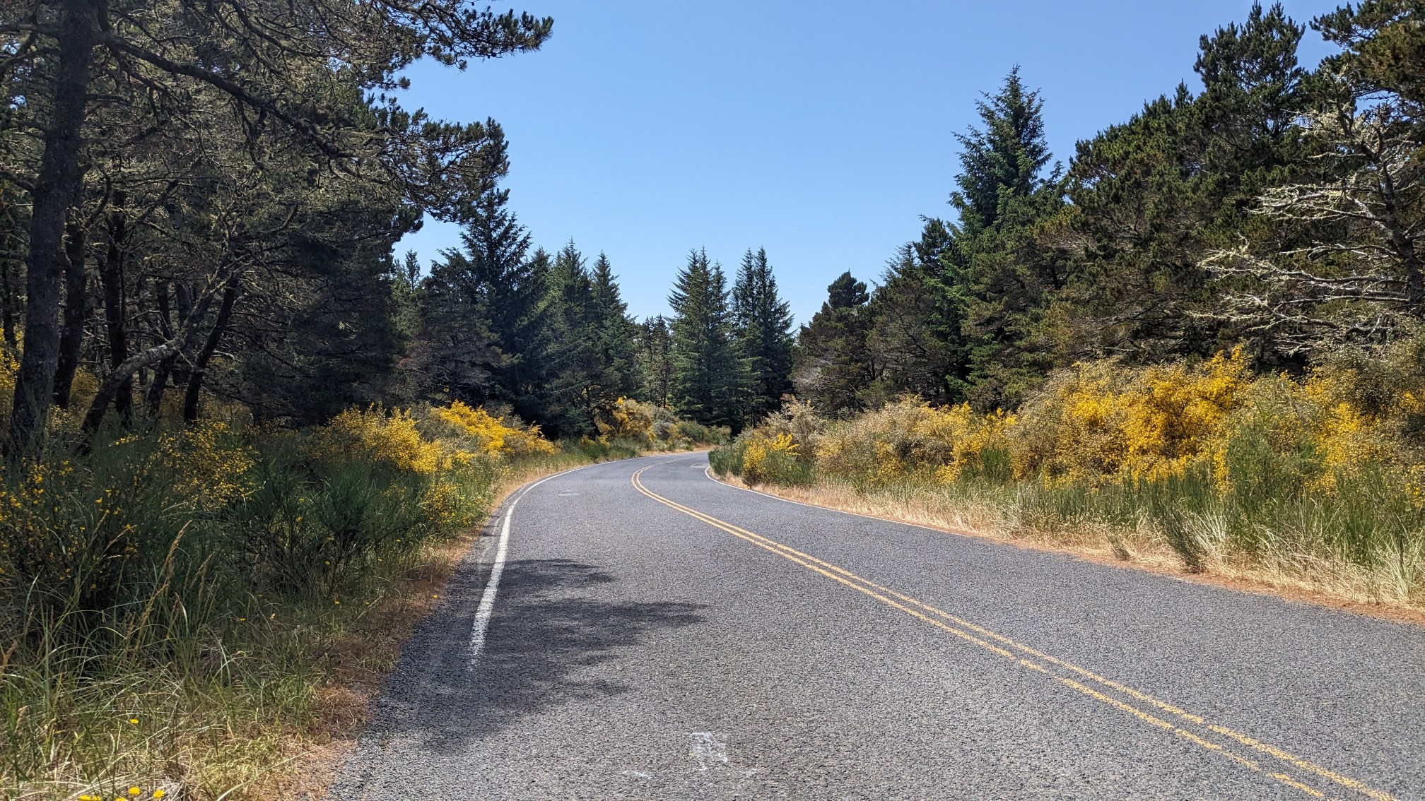
I don’t see any cars on this road, and it’s a nice pleasant walk through a coastal forest.
After a couple miles, the road ends and I cross over the dune and drop down to the beach.
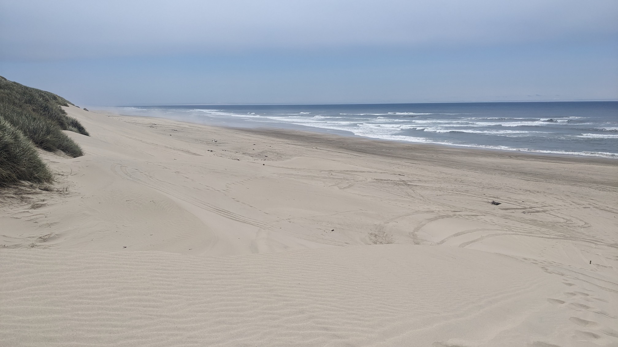
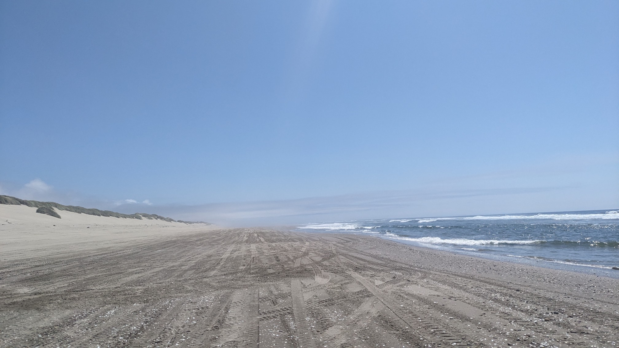
Most of this National Recreation Area is open to ATVs, which are allowed to drive on the beach. All the spinning wheels tear up the sand, so I opt to hike closer to the ocean where the sand is firmer and not messed up.
I had kept a pretty good pace all day knowing that I had to cross the Siltcoos River at low tide, which today happened at 1:30pm. I get to the river at 2:30, which is close enough.
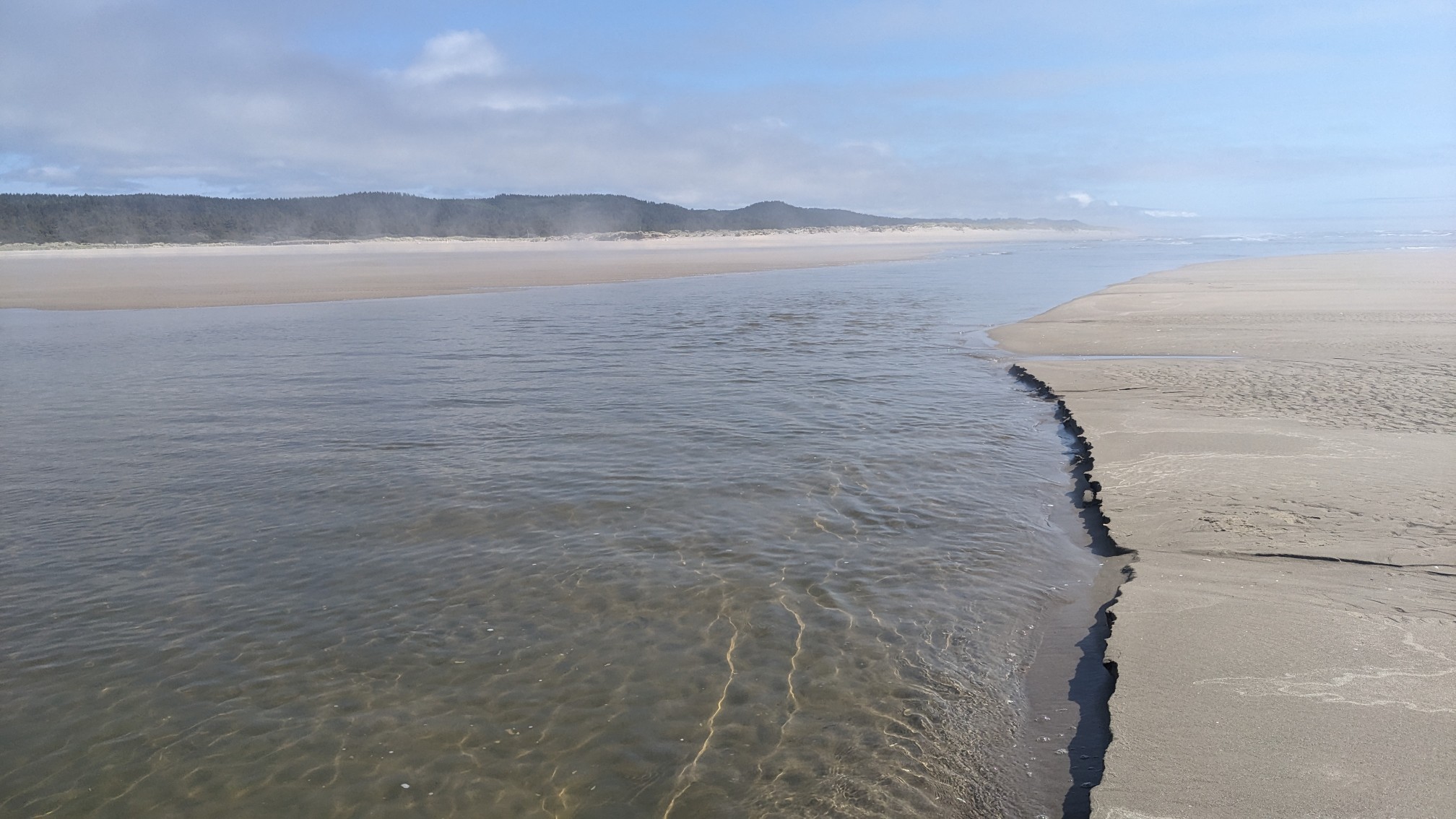
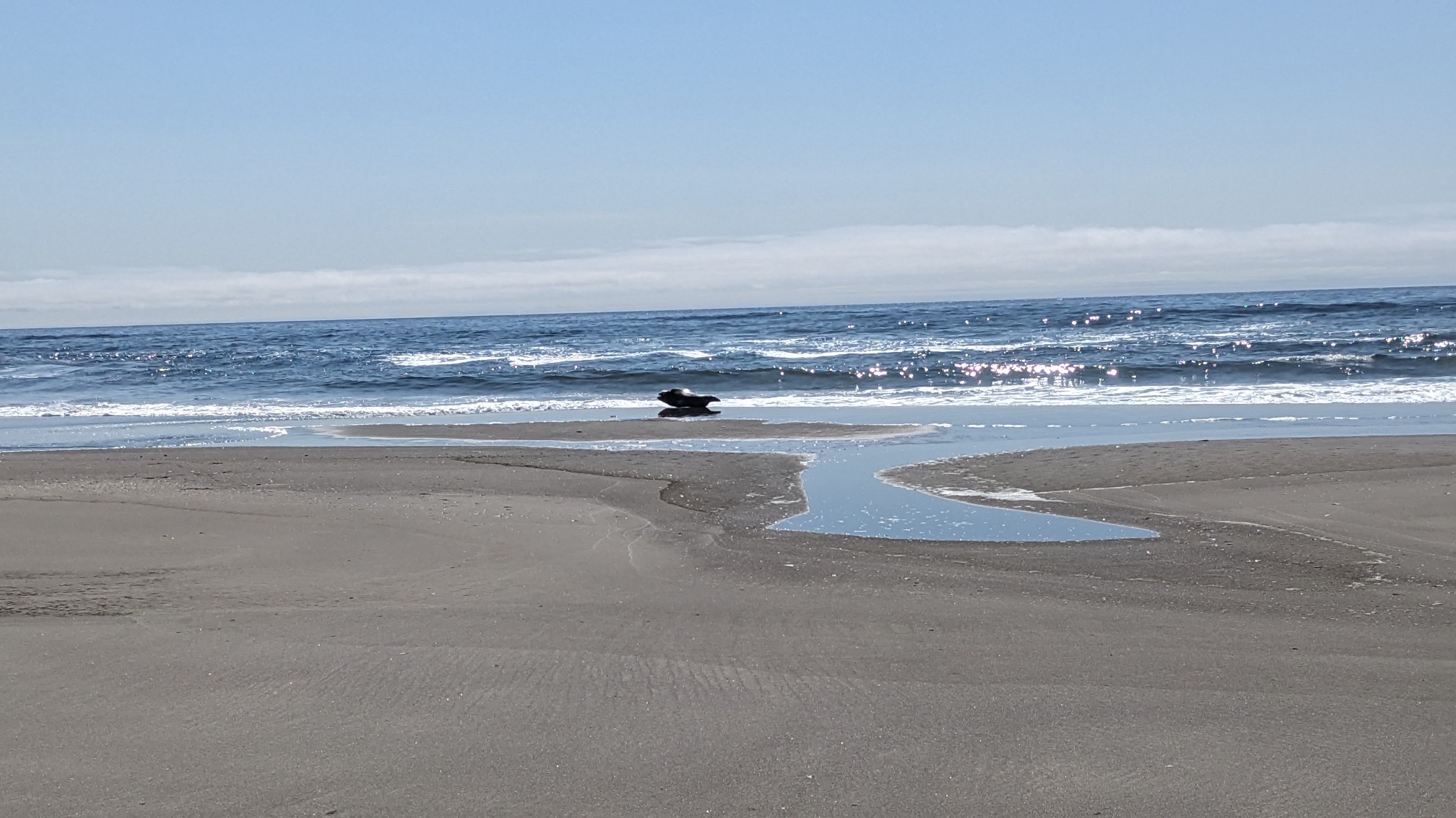
It was a pretty easy crossing and only knee deep. Usually at these rivermouths, seals like to hang out on the sandbars. I scanned the area thoroughly and noticed a couple seals doing just this.
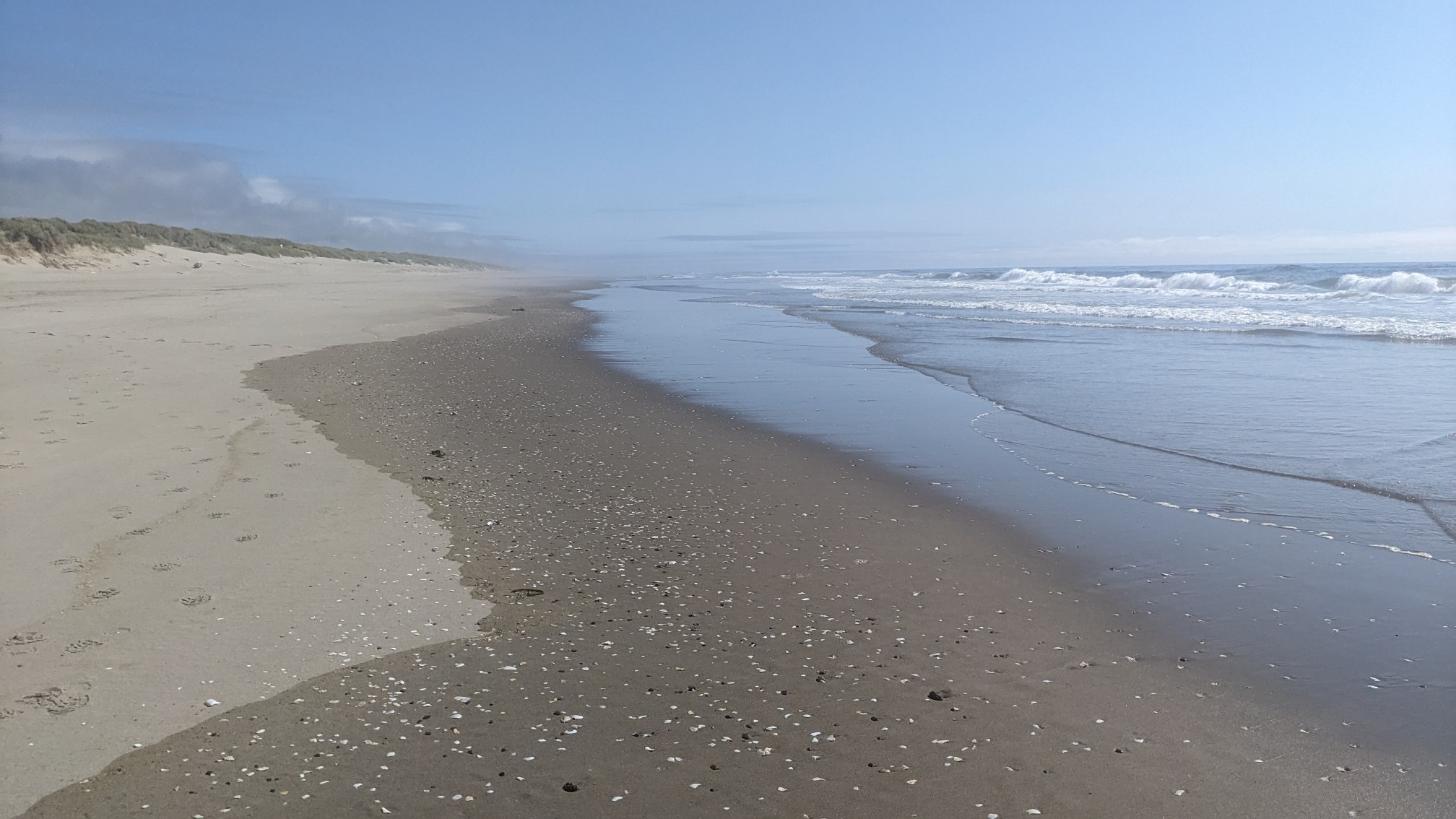
The rest of the afternoon was easy walking on a nice firm beach.
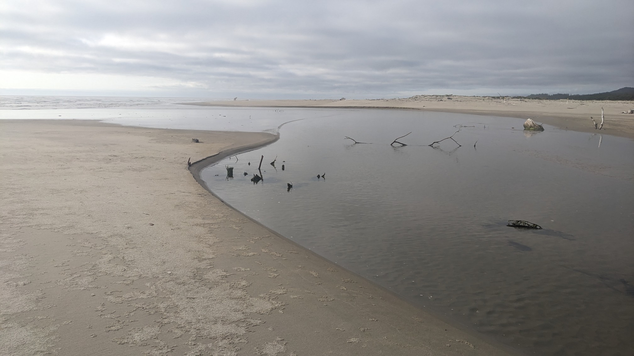
There was another little river to cross, but this one was not dependent on the tides. The Tahkenitch River was only shin deep where I crossed it.
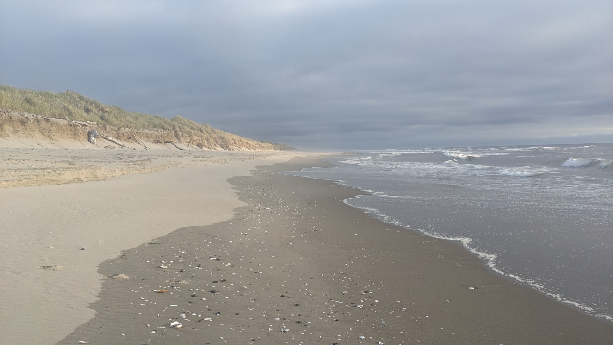
Towards the end of the day a line of clouds moved in, making some interesting shadows and light patterns on the beach.
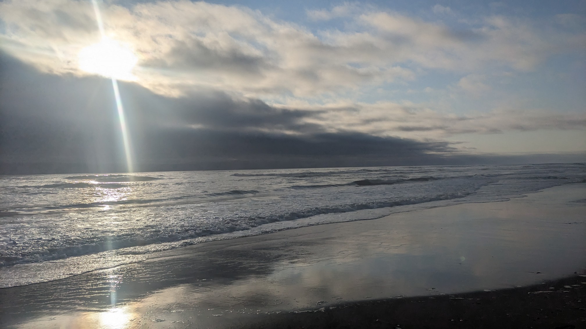
The beach right in front of me was sunny, but everywhere else was cloudy!
I exited the beach at Sparrow Park Road, which is one of the access points to this beach. There were some good camp spots in the trees, and I was very happy when I found this perfect flat spot under a bunch of spruce trees.
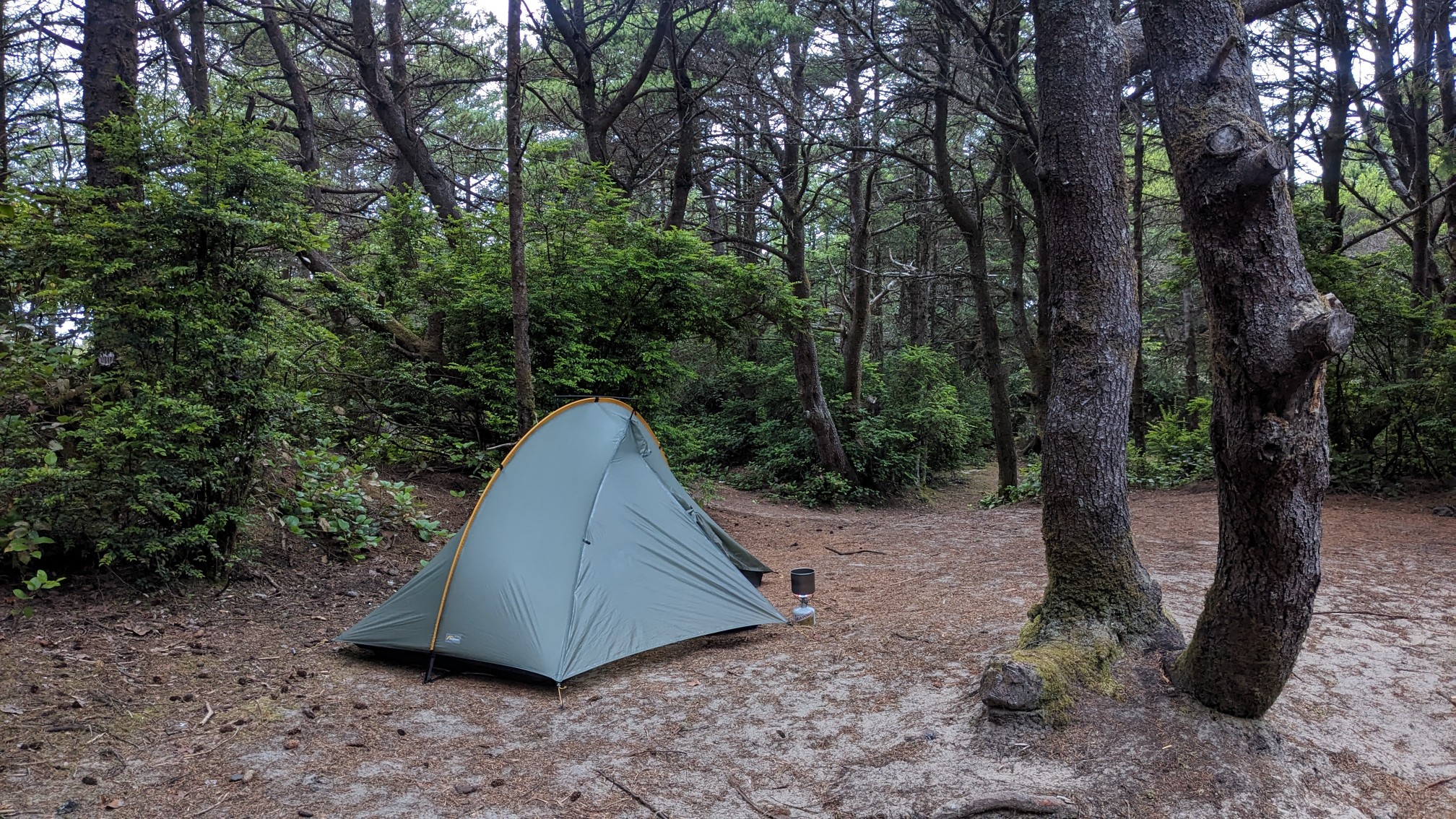
After setting up and making dinner, I studied my maps to re-plan tomorrow. Usually, hikers would continue on the beach for another 5mi/8km, and get a boat shuttle across the next bay. But the marina has not returned my multiple voicemails, so I can’t assume there will be a boat waiting for me at the crossing point. Instead I will hike a bunch of roads to get around the bay, adding 6 miles to my day tomorrow. Theoretically the Oregon Coast Trail doesn’t have much roadwalking, but if the boat shuttles are closed or cancelled (tides/weather), the only way around those bays is by hiking on highway 101. Blah.
Beautiful views of the ocean & tranquil beaches!