Saturday July 1, 24.5mi/39.4km
Boice Cope Park Campground (316.4/33ft) to Humbug Mountain State Park Campground (338.1/80ft) (OR) +0.8mi campground, +2.0mi Sixes River oopsie
I was awake at 6:30 when the sun started sneaking through the tall trees in the campground. I packed up, found the campground hosts and paid them, and then hit the trail. I had to head back out to the beach, and on the way I passed by Floras Lake.
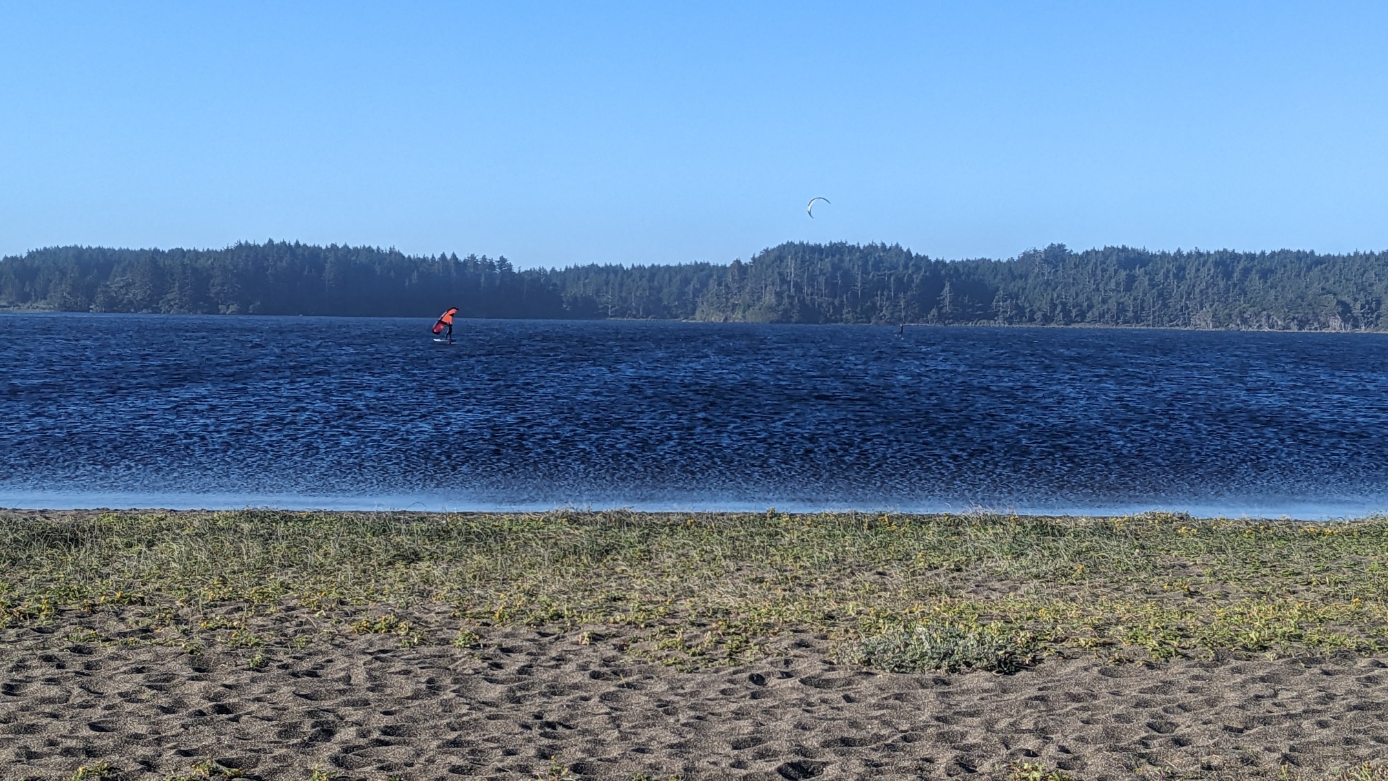
There were a few people on the lake, I think they were doing kiteboarding. Cool. I hiked on the beach for less than 10 minutes, which was great because it was still that soft annoying sand.
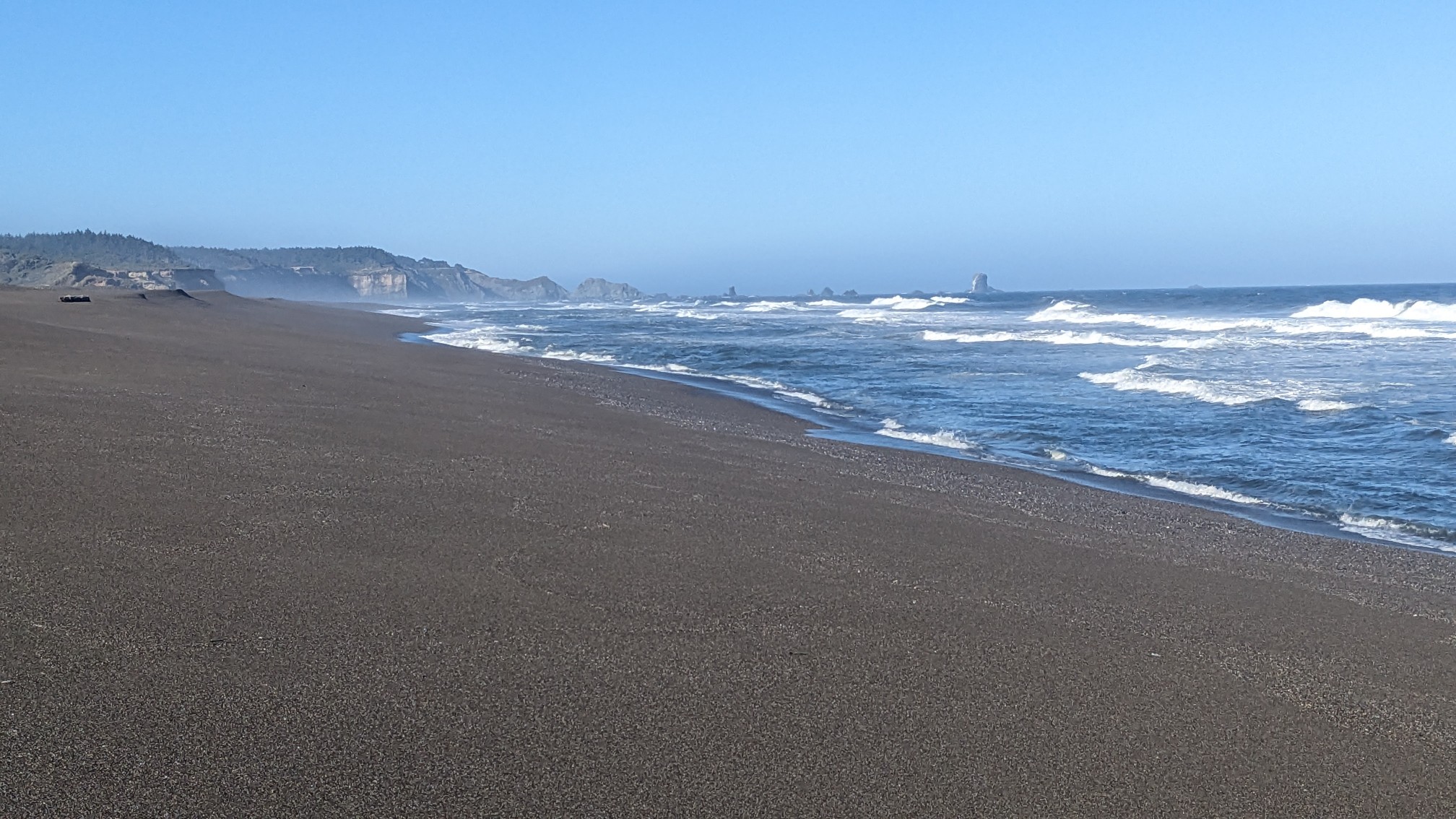
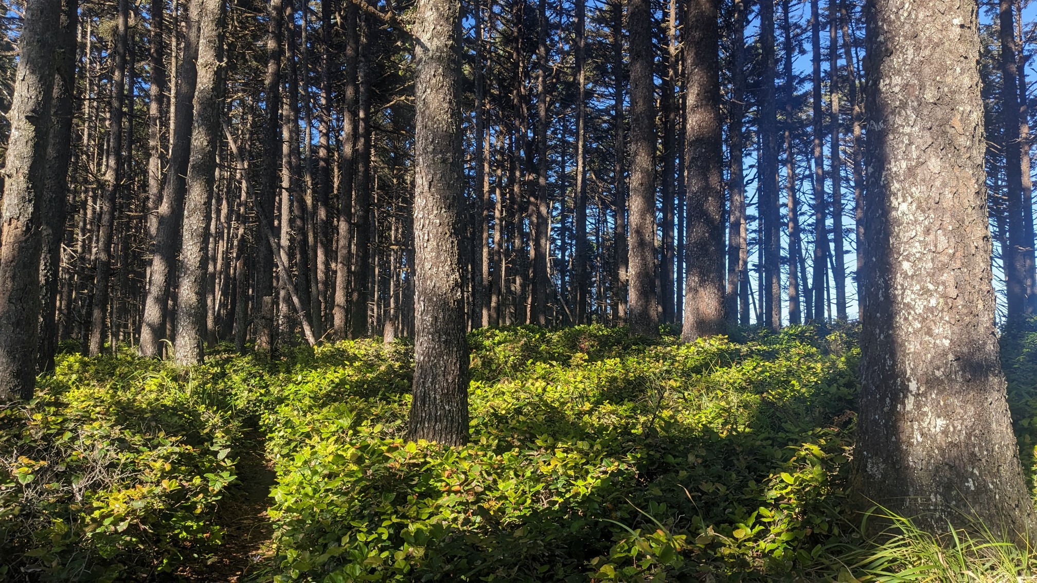
I left the beach and turned off into the forest, which was a nice change of pace.
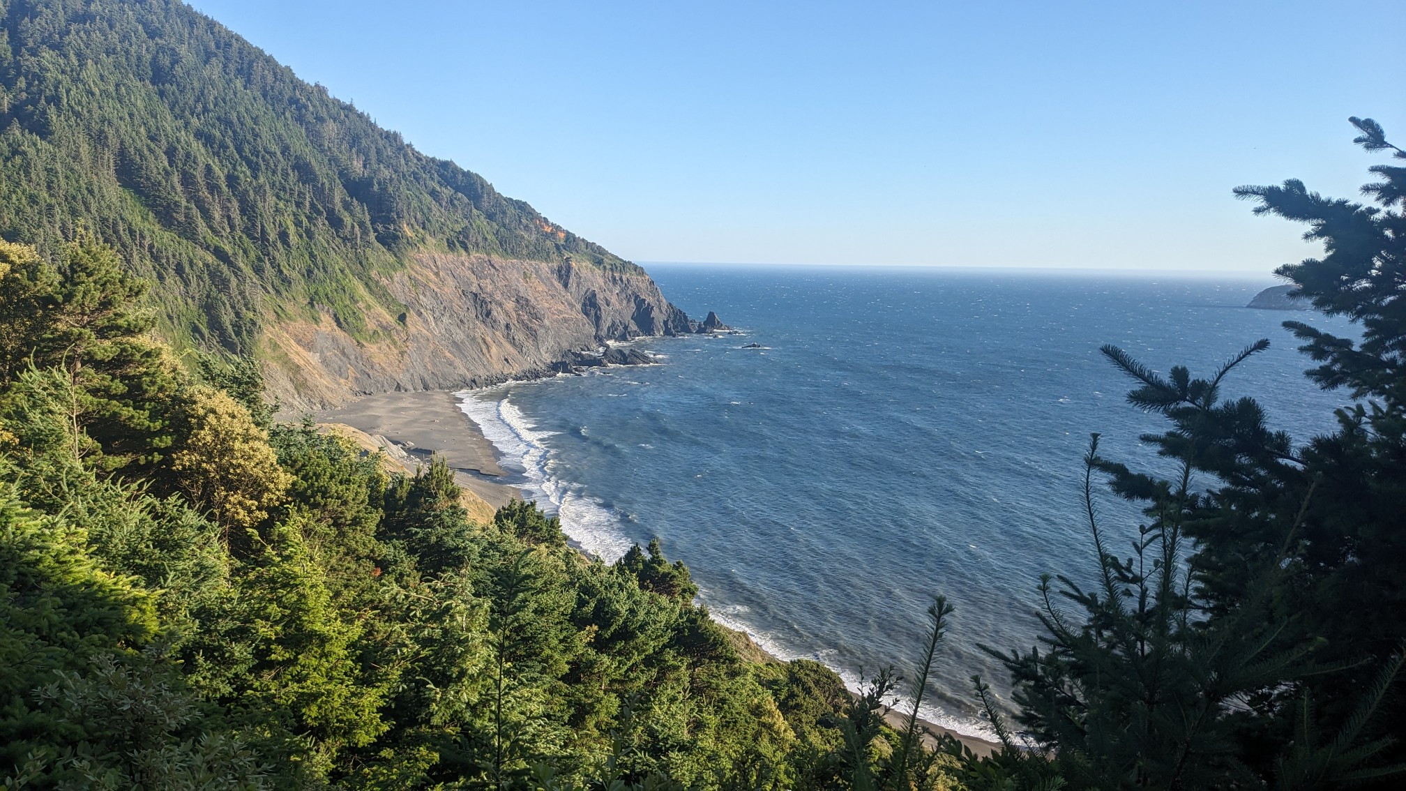
I had a small climb up to the top of the Blacklock Point. It was only 200ft/60m up, but the view was still amazing.
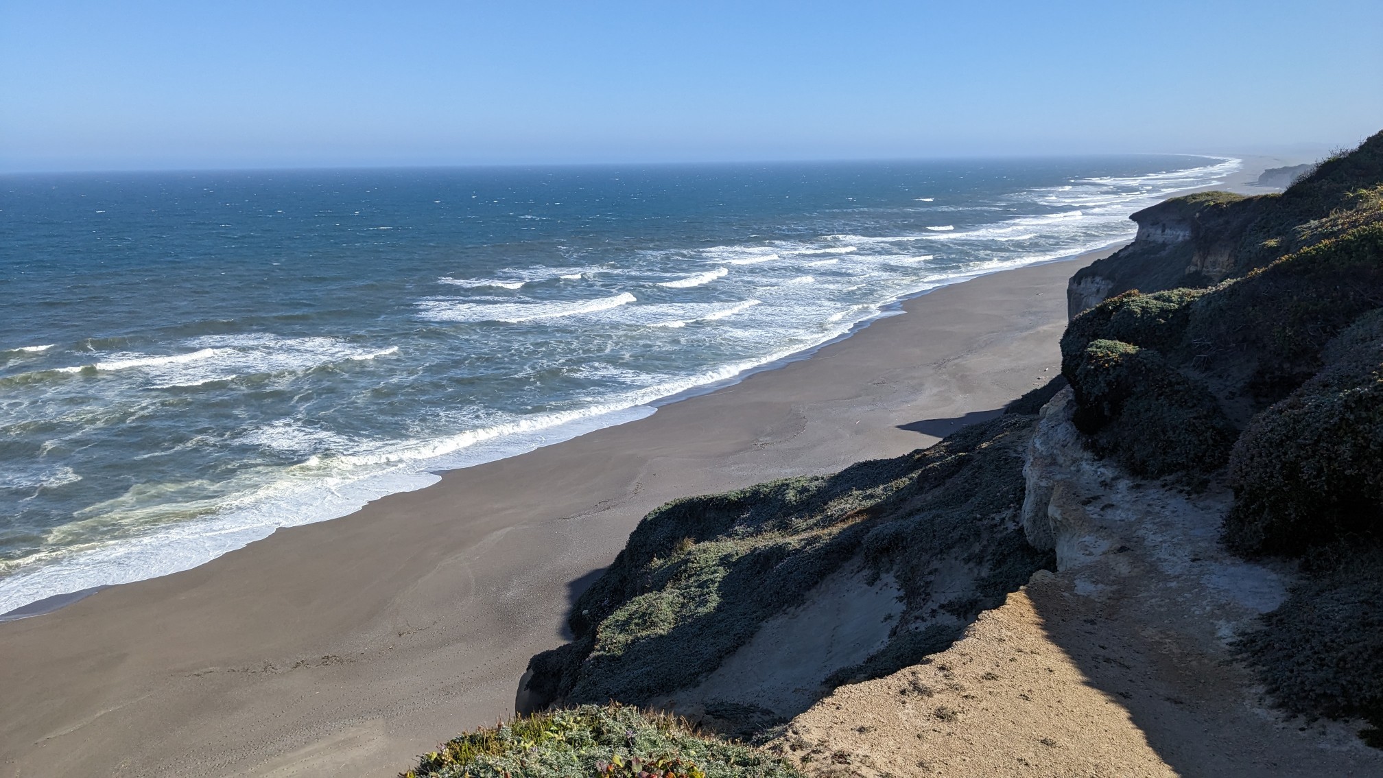
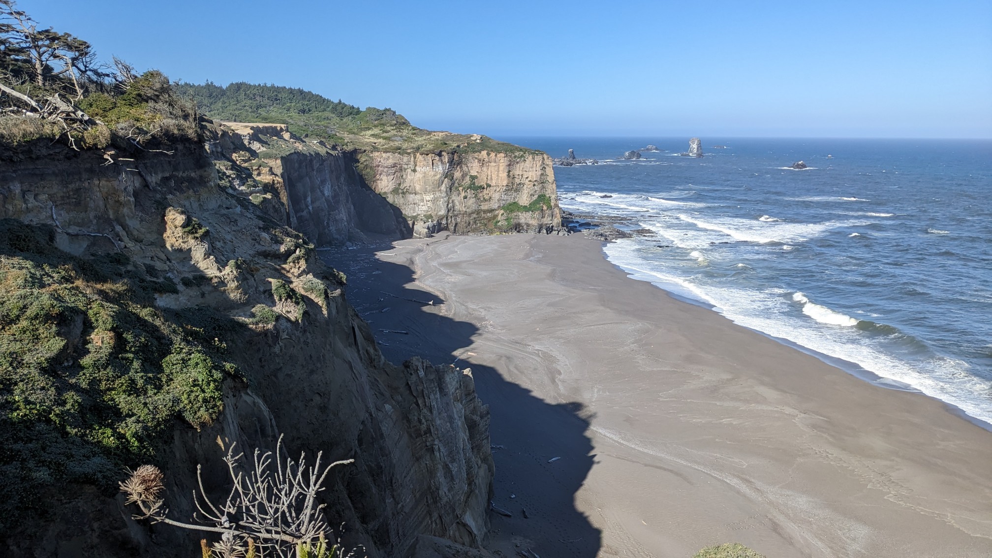
I hiked a little further to another viewpoint, and from there I could see my next objective, Cape Blanco.
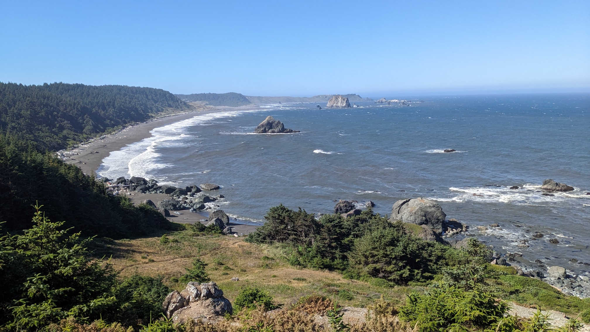
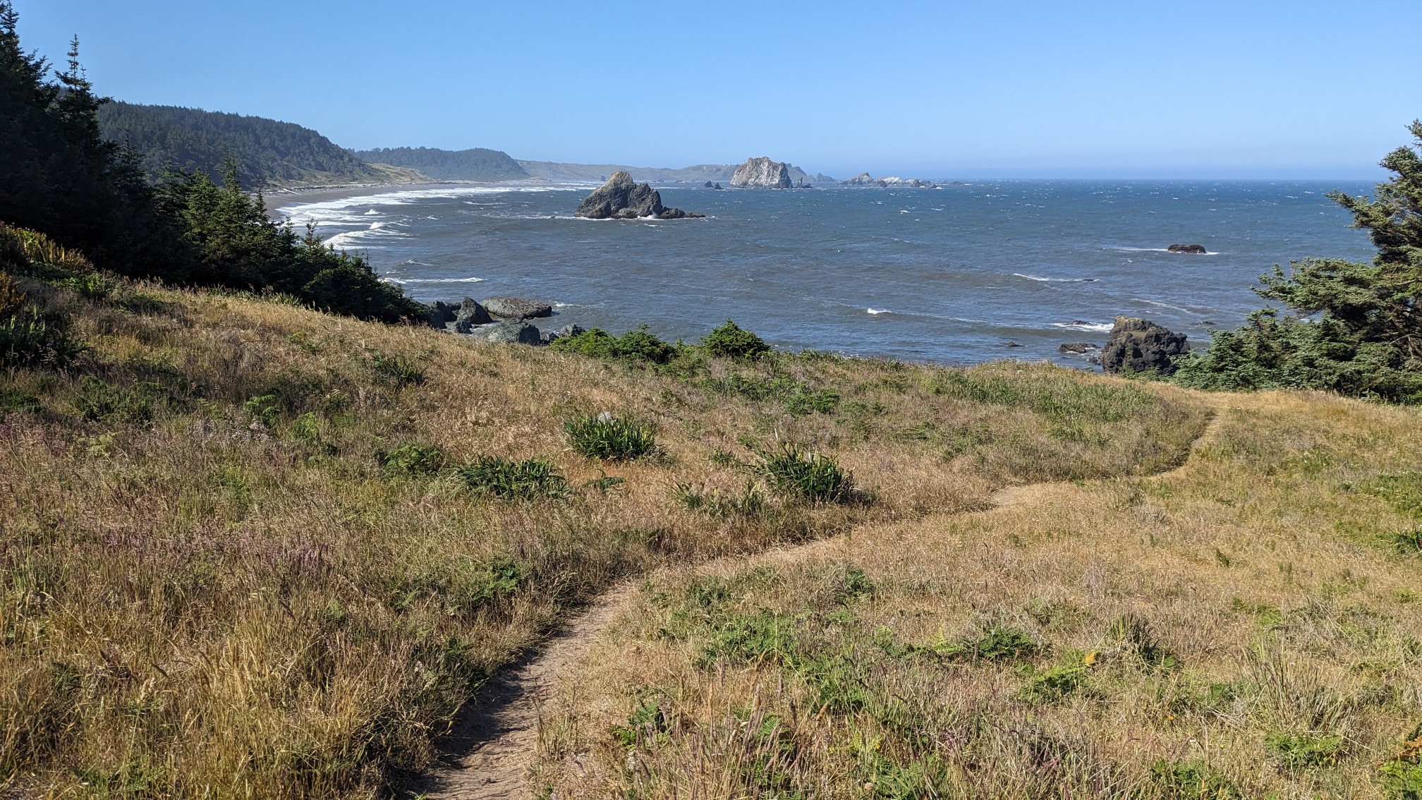
I descended to the beach on a nice little trail, and in a few minutes I was back on the beach.
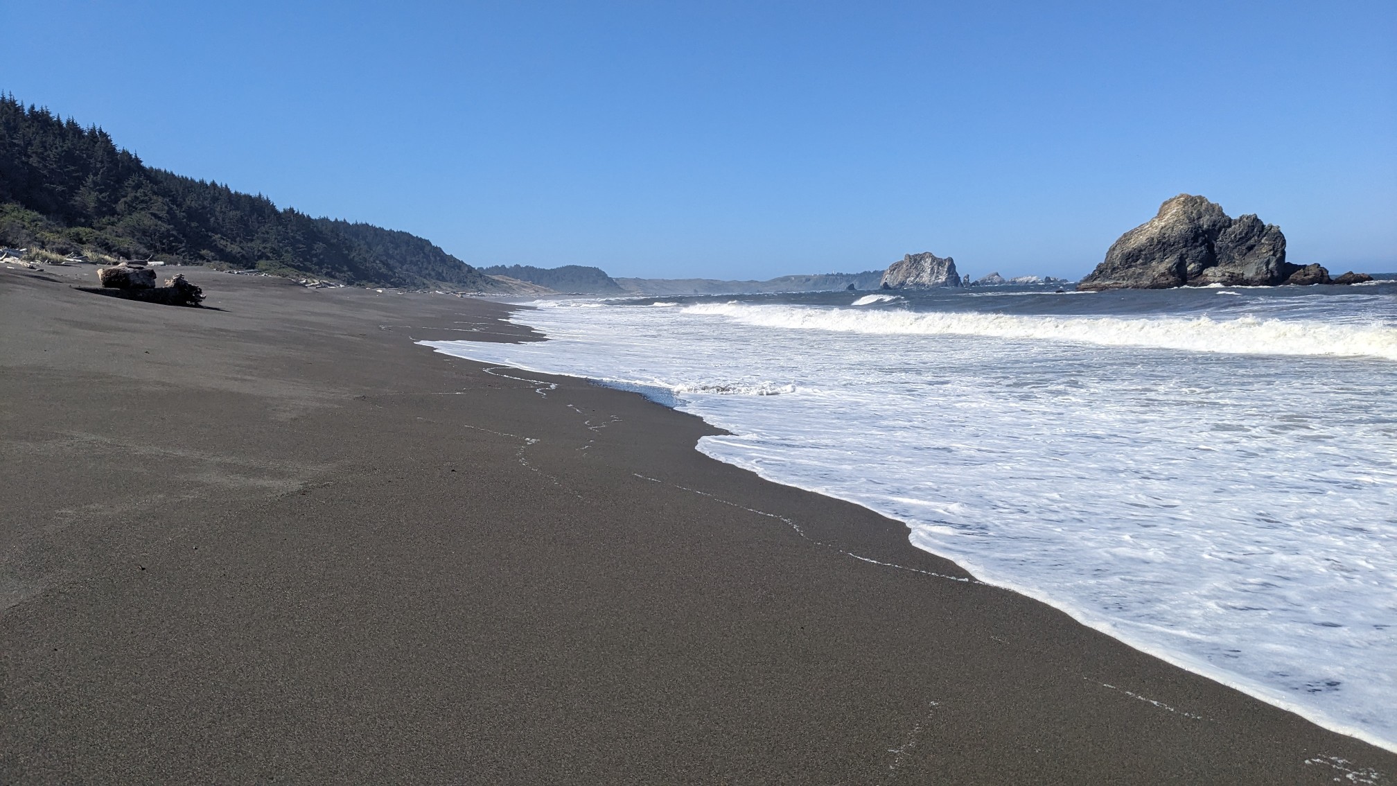
This beach was nice to walk with its firm sand. After a mile of beach walking, I had to wade across the Sixes River. The guidebook says this is crossable at low or mid-tide… that turned out to be a slight exaggeration. It was exactly mid-tide, and the only spot I could find shallow enough to cross was at the spot where the big waves were breaking. Nope! So I hiked upstream half a mile, where the water was perfectly calm. Time to swim! I inflated my sleeping pad, and put my backpack & most of my clothes on it, so they would stay dry. After a very cold swim while fighting a slight current, I dried off on the other side. Eesh. Eventually I warmed up and did the final mile of beach hiking, before climbing up to Cape Blanco.
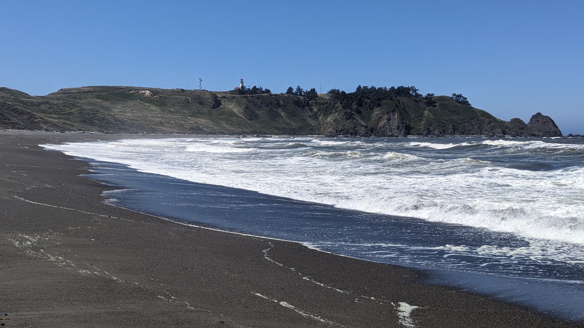
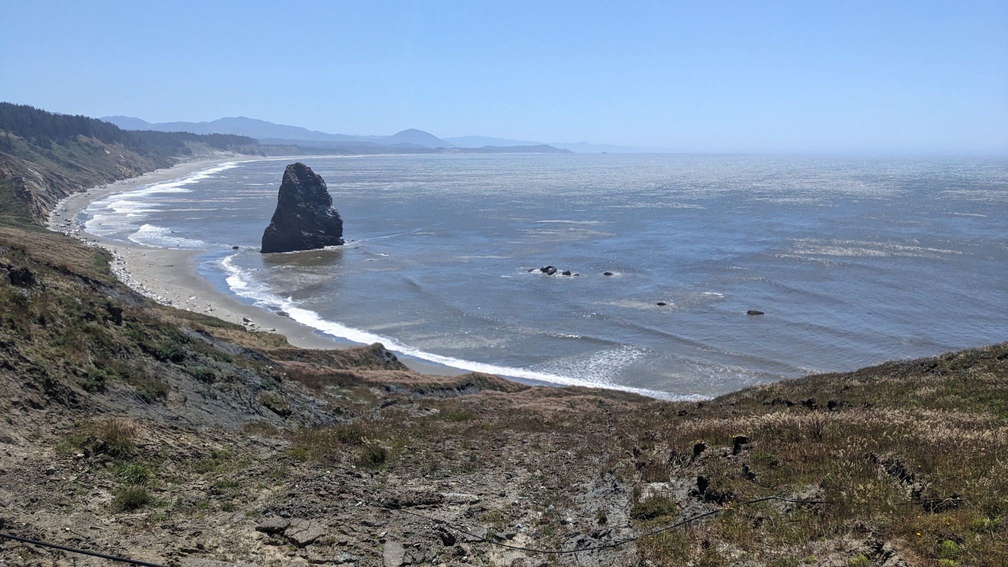
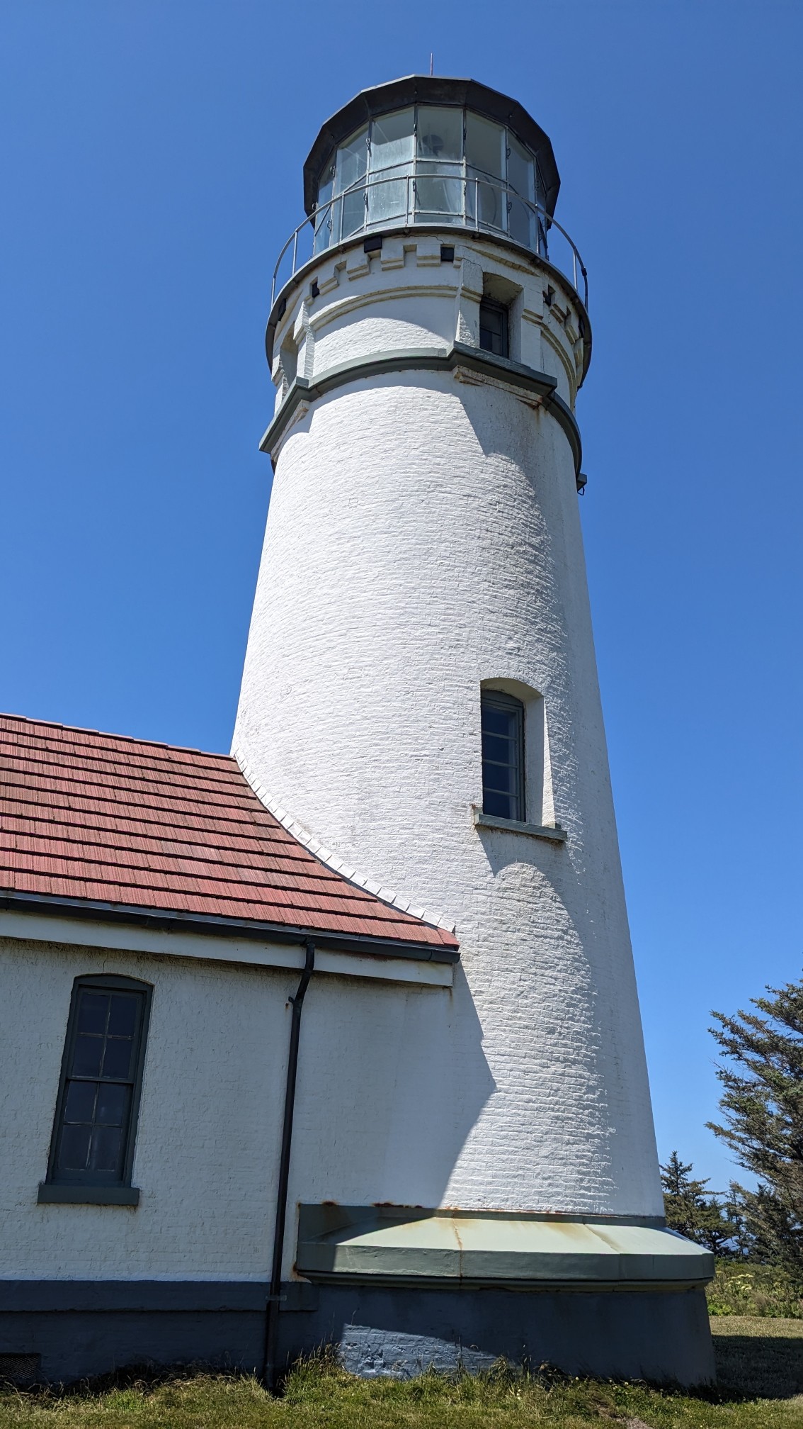
Cape Blanco is the westernmost point in Oregon, probably the windiest too. It also had a cool lighthouse which was open for tours.
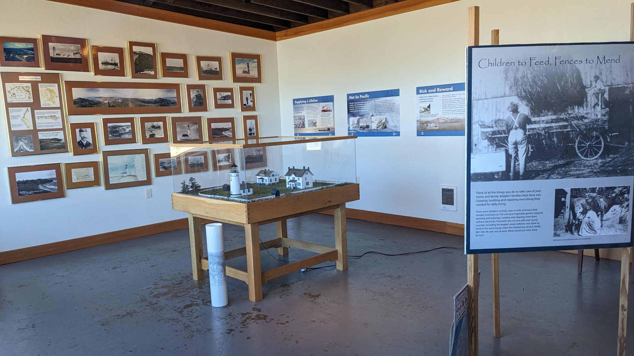
The inside had some neat exhibits & history about the place. Plus, it was out of the crazy wind.
The view back to where I had just hiked, with the Sixes River in the distance.
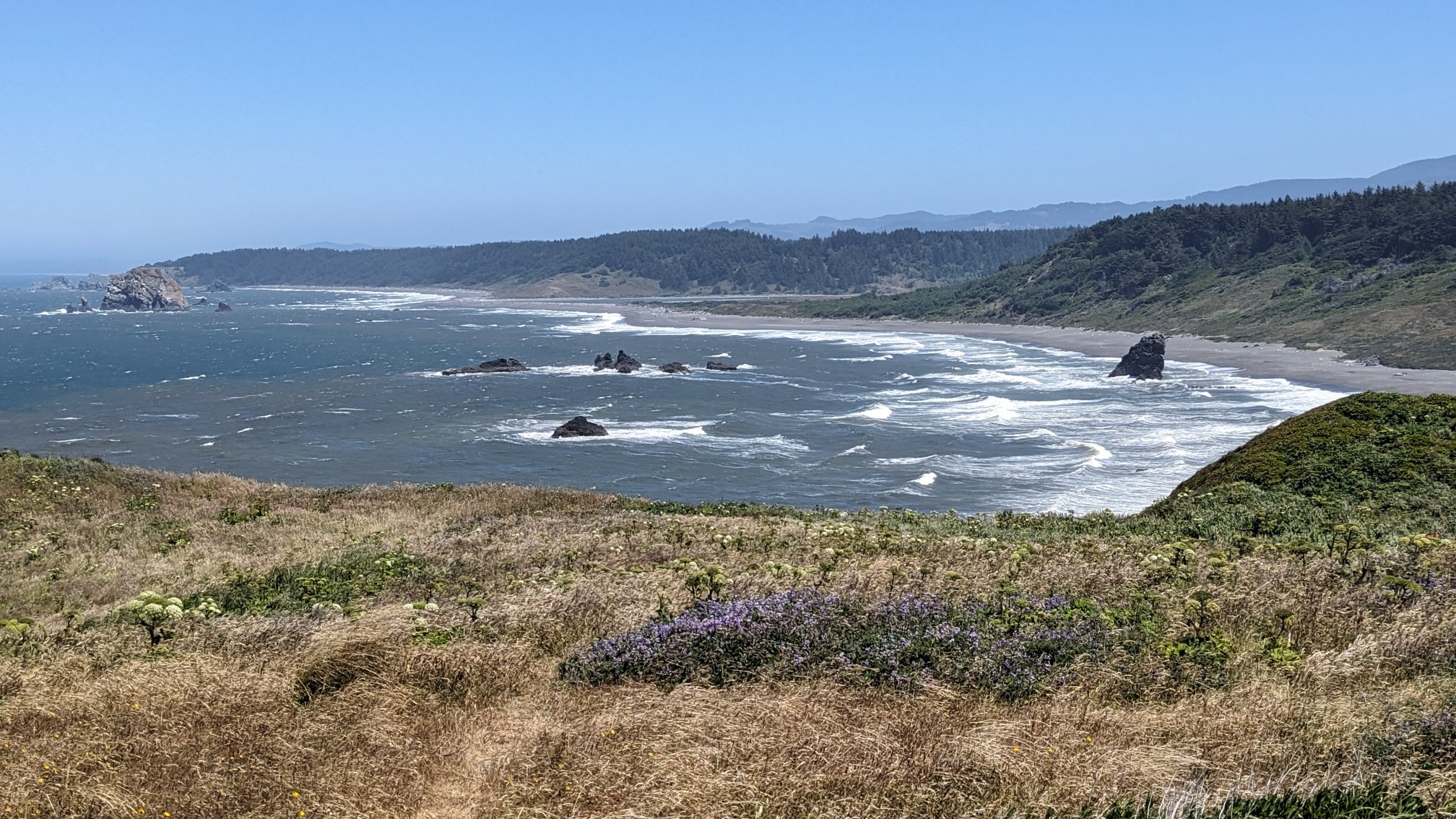
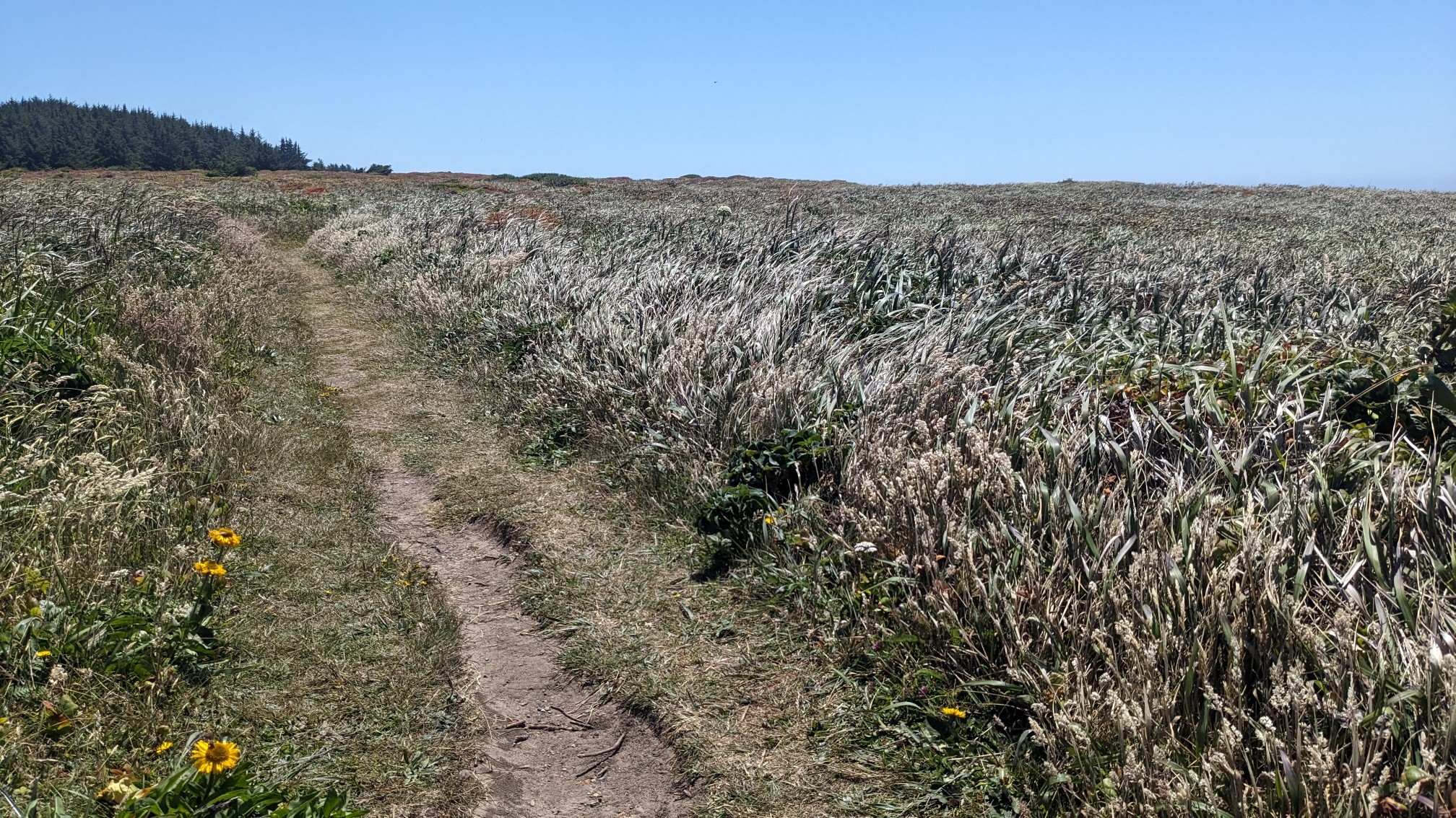
I continued on through the windswept landscape, with the tall grasses undulating in cool patterns from the wind.
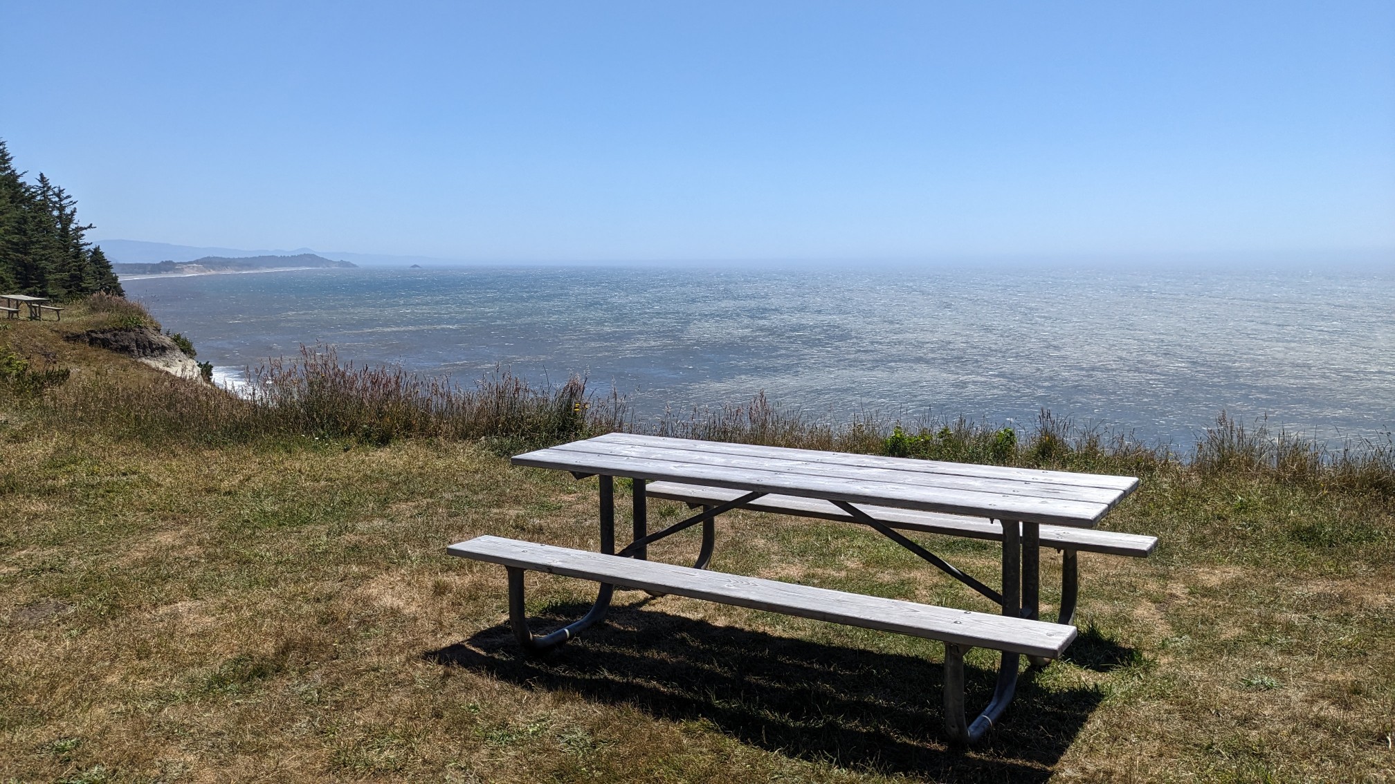
Once I got into the forest, there was no more wind and I stopped and had lunch at a random picnic table. It was probably one of my most scenic lunch spots.
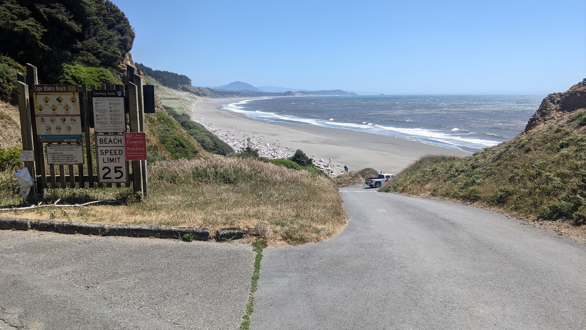
From there I dropped down to Cape Blanco Beach, which was a nice wide flat beach.
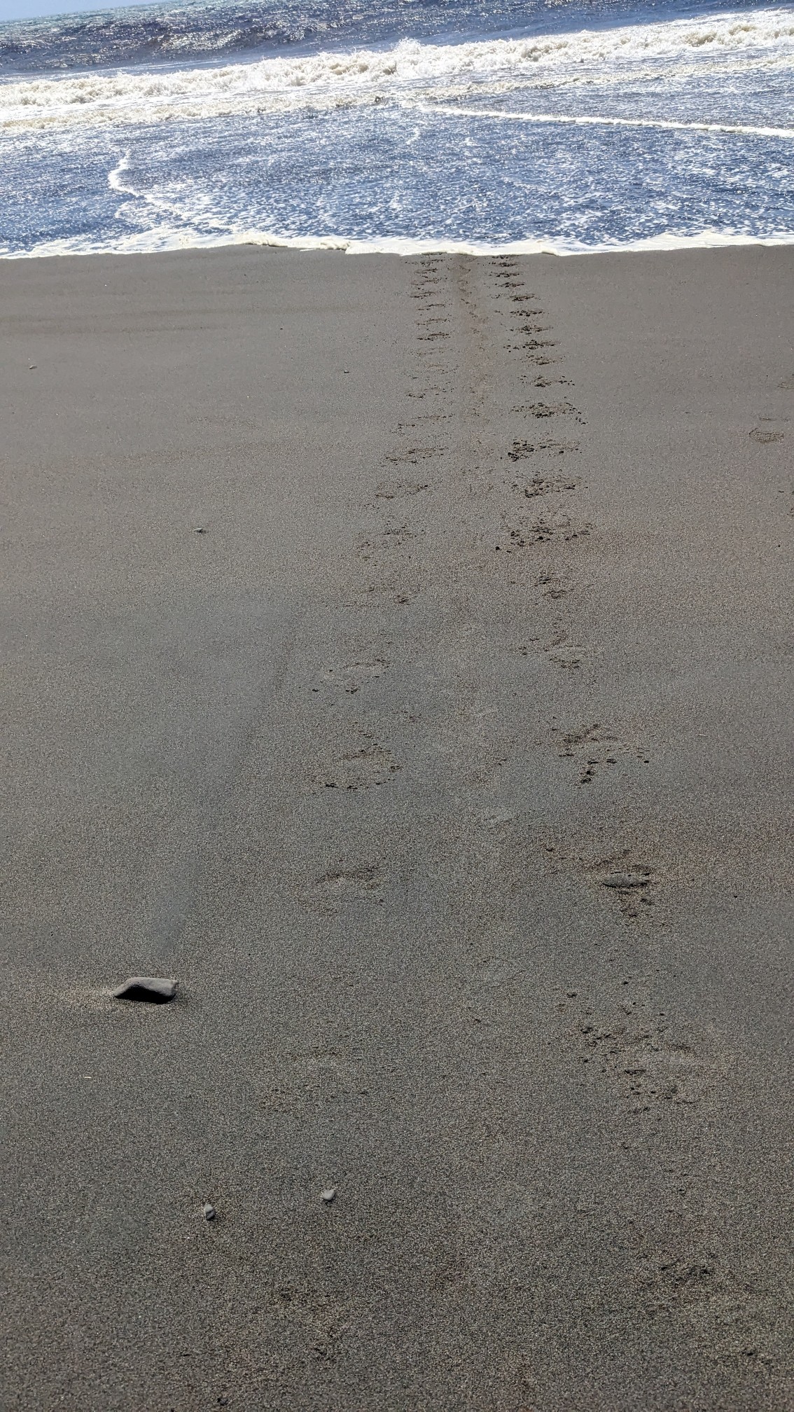
I could see a seal flippering their way across the beach back to the ocean. He/she left these really cool prints in the sand.
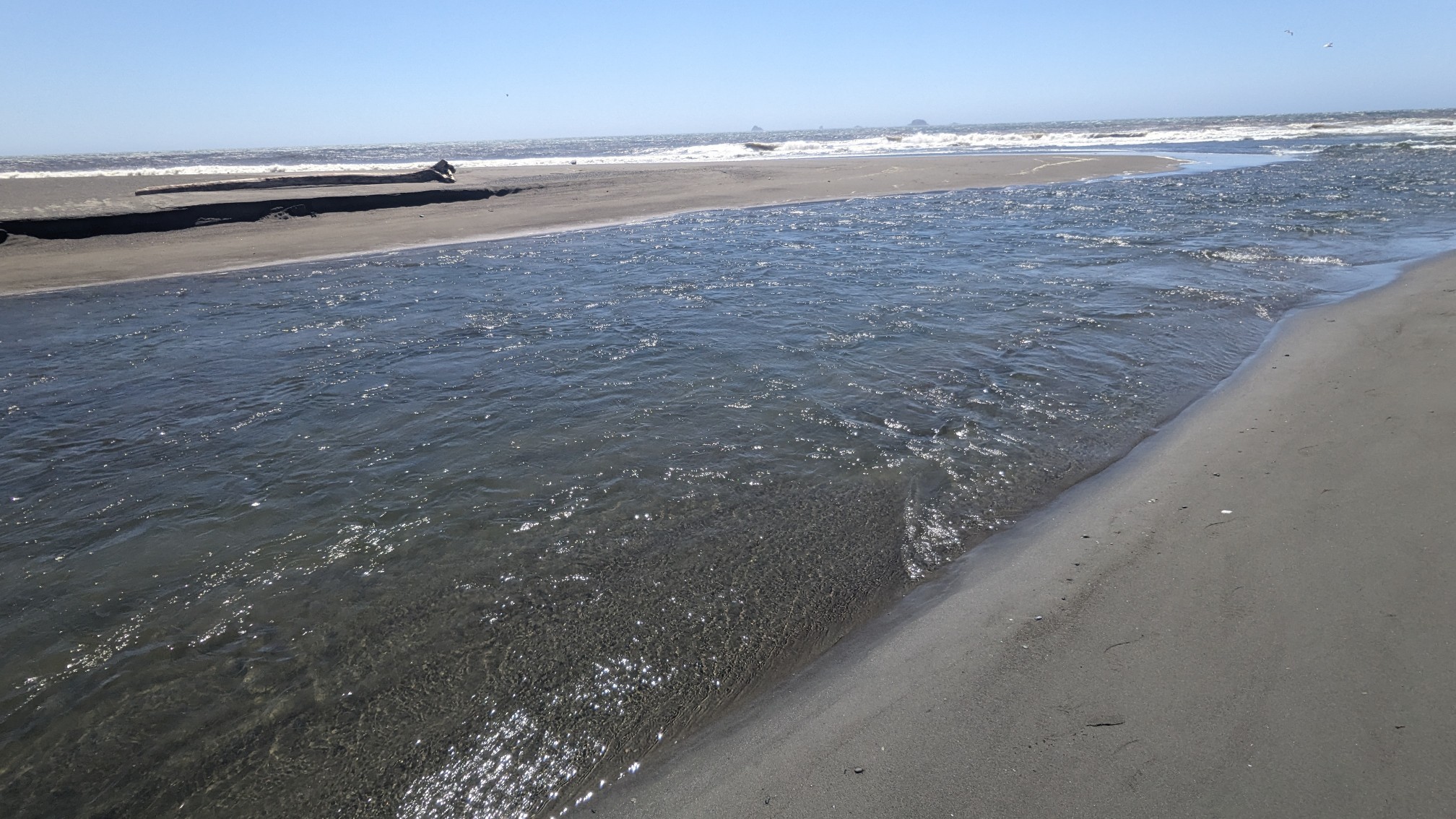
I had one more river crossing, and getting across the Elk River was easy, since it was only shin deep.
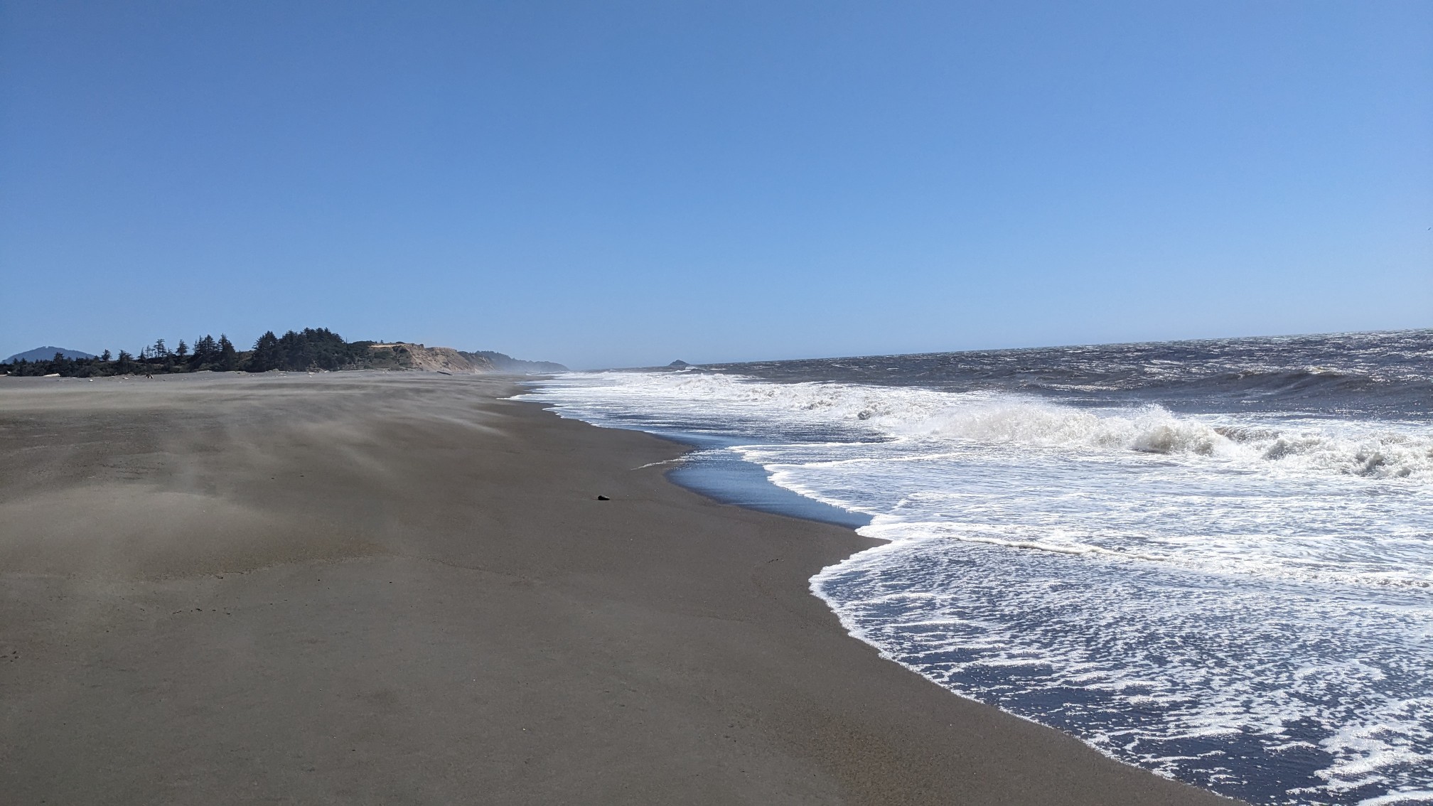
I had an hour relaxing beach walking….
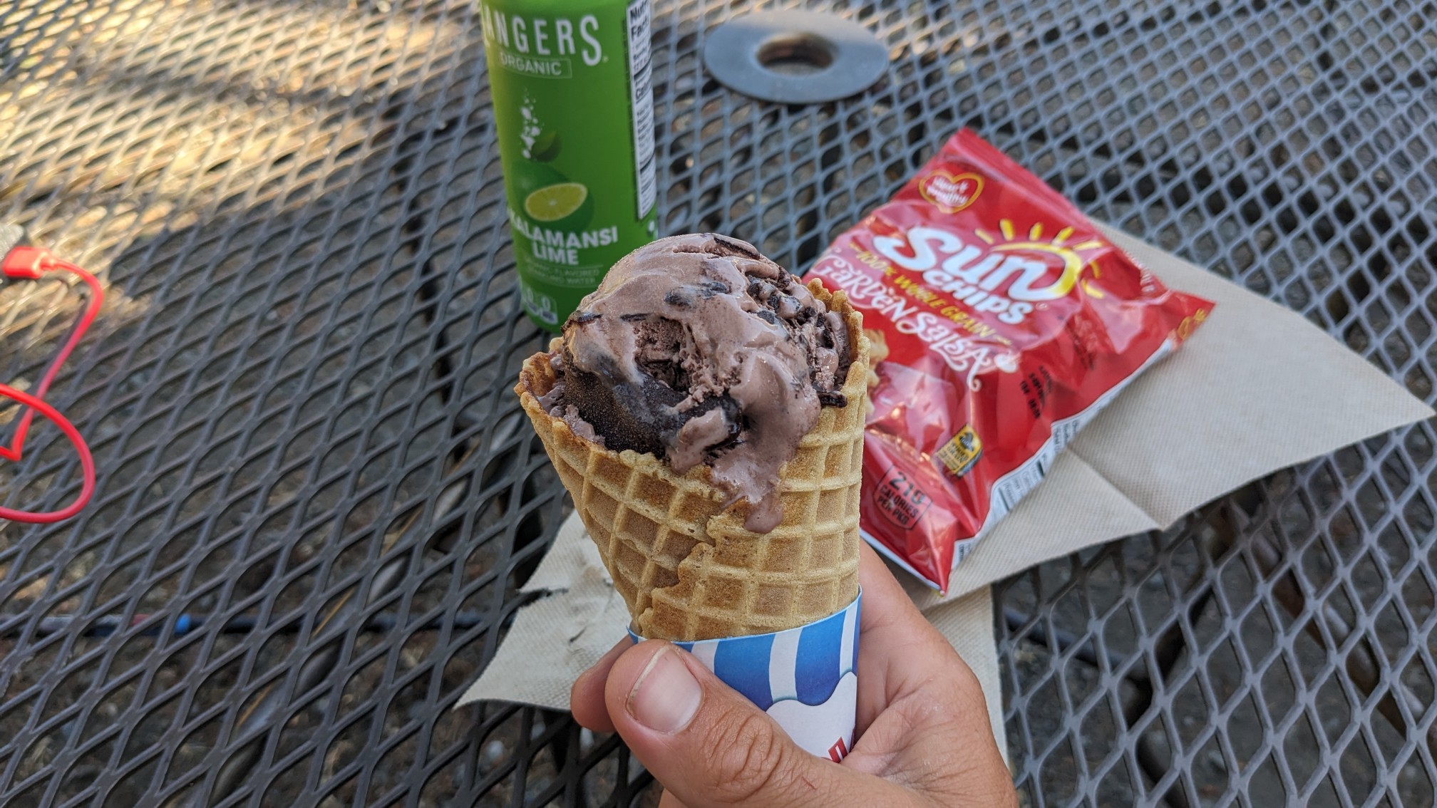
….before leaving the beach and hiking through the little town of Port Orford. There was a local farm store that served ice cream in fresh-made waffle cones, so of course I had to try one.
I was tempted to stop and get dinner at one of the local fish places, but I had to keep going, to make it to the campground by 8pm. I dropped down to Battle Rock Beach.
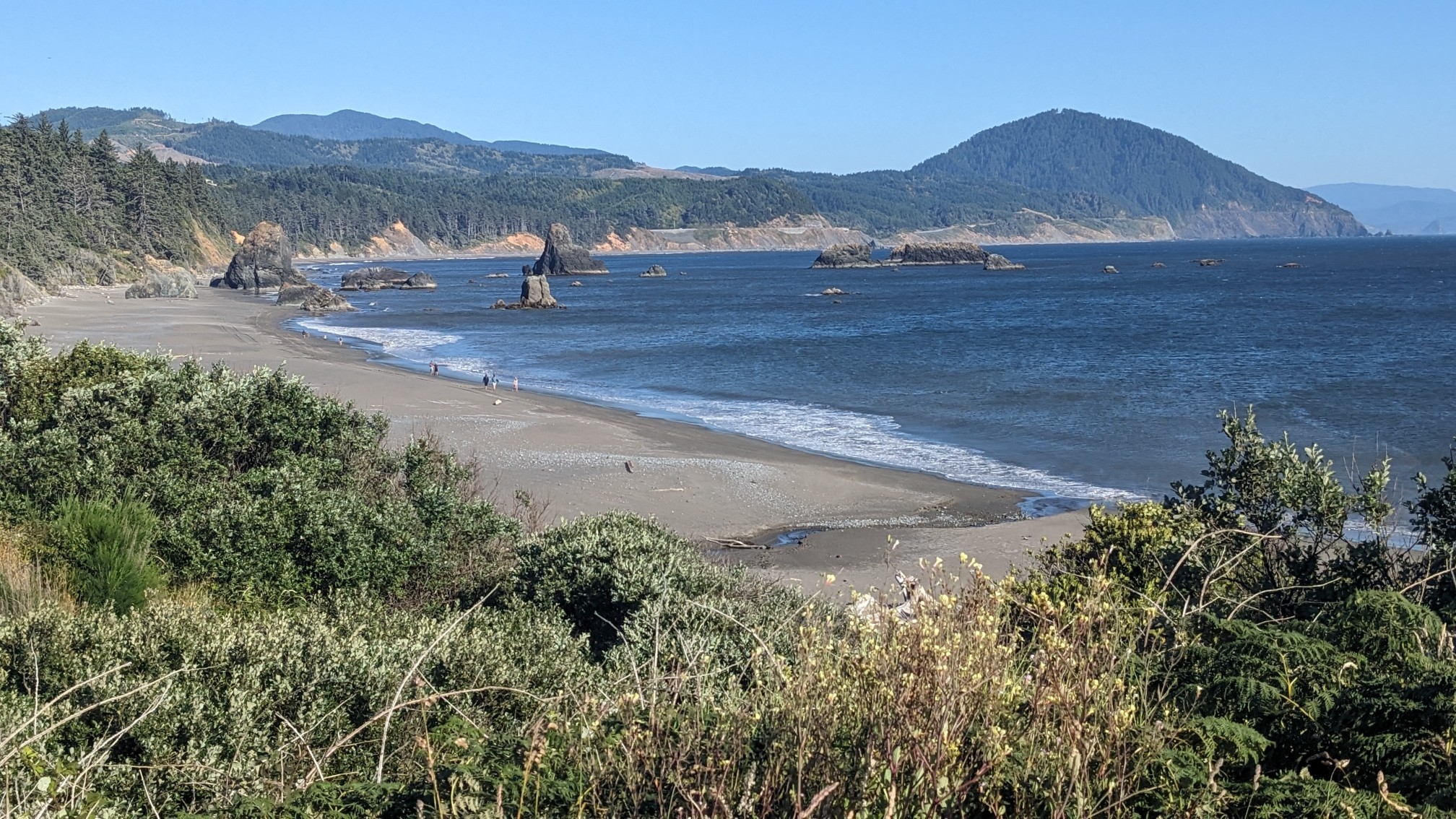
About halfway through this short beach walk, I came across a seal that did not immediately flee. It also made moaning noises. Either it was sick or something was wrong with it.
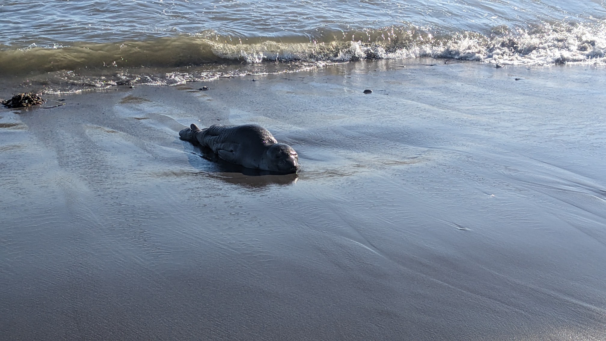
I called the number for Oregon Marine wildlife, to report the seal. Hopefully they can help it or save it before it dies. After I left the beach I had a short road walk on highway 101. There wasn’t much traffic on the section and the views were pretty good.
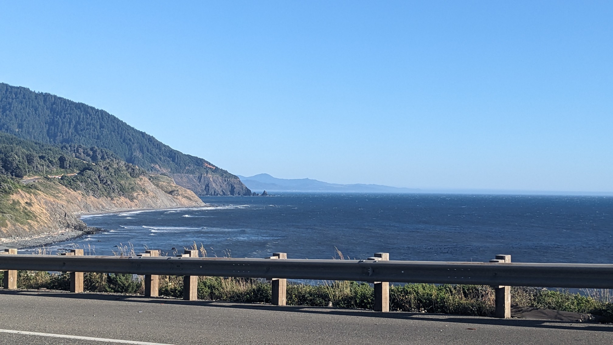
Pretty soon I turned off onto the old highway, which was decommissioned when they built the new highway like 40 years ago.
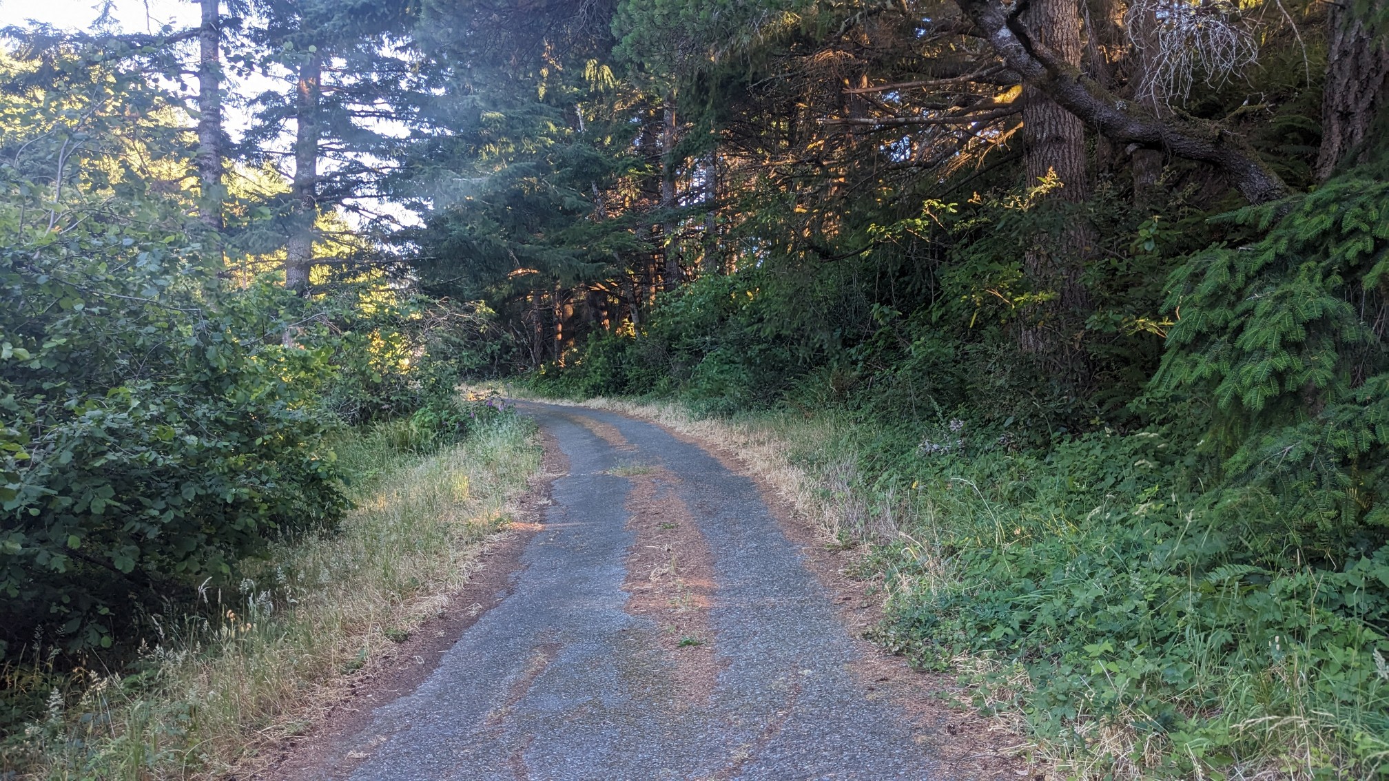
It was neat seeing the weeds growing through the cracks in the pavement which still had the yellow paint in some places. And the views were still amazing.
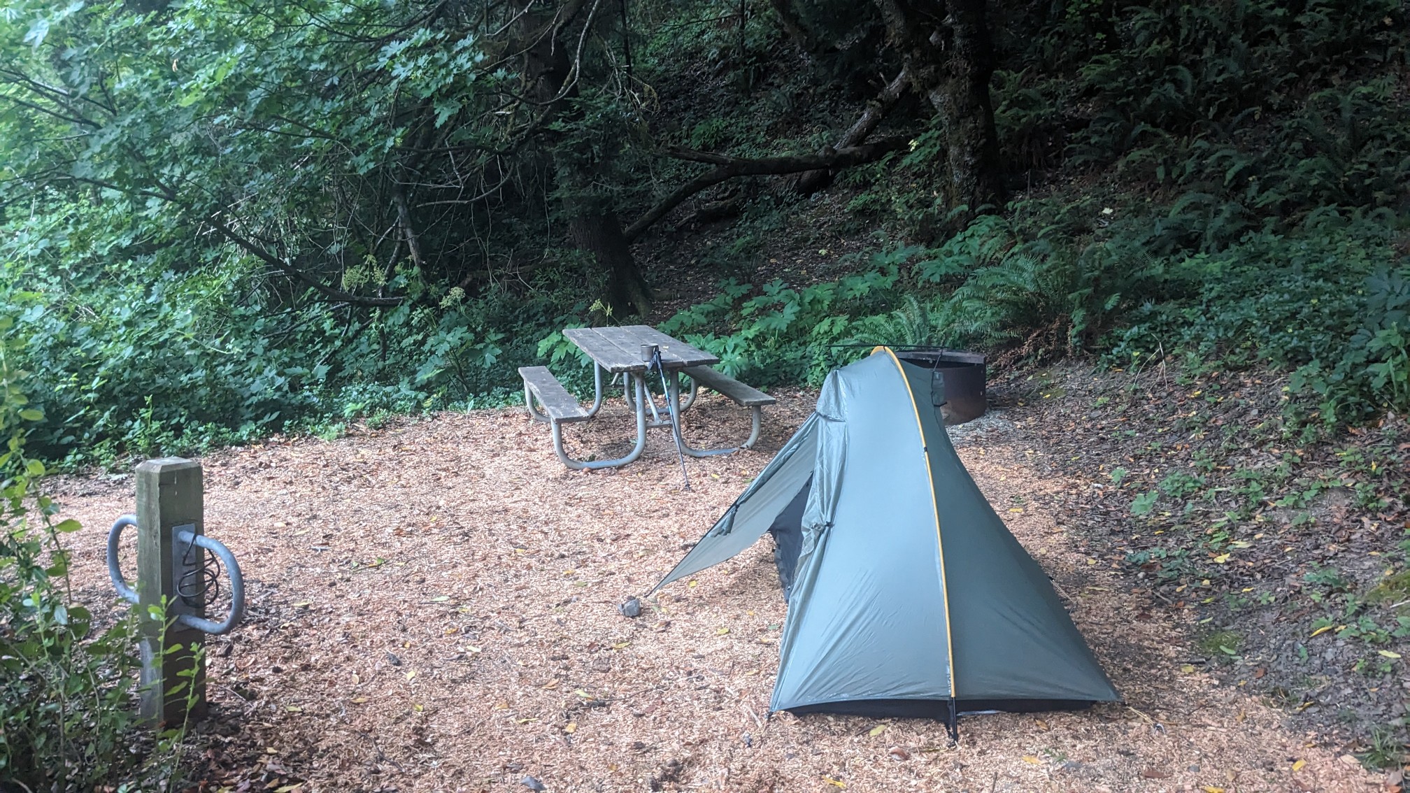
When I got to Humbug Mountain State Park I checked in with the office, and got a spot at the hiker/biker site, as usual. These spots were really nice! They had new picnic tables and fresh wood chips on the ground to make it soft.
After dinner I looked at my maps, and realized that camping opportunities in this final section are really infrequent. Basically in the next 60 miles there are two legal camping spots, one in 20 miles, and then the next is 40 miles later. My plan is to hike 30 miles, stealth camp, and then do another 30 mile day to make it to the legal camping spot 60 miles away. Hopefully these final 2.5 days goes according to plan!
What amazing views!
Hope that seal gets help.
What an incredible adventure 😊