Sunday July 2, 31.3mi/50.4km
Humbug Mountain State Park Campground (338.1/80ft) to Cape Sebastian State Park (369.8/280ft) (OR) -0.4mi shortcut thru town
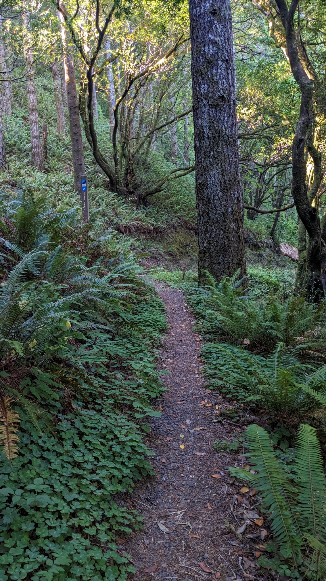
My plan was to hike 30 miles today, and even though I woke up early, I somehow didn’t leave camp until 8am. I guess I was too busy chatting with the other campers about their bike trips from Alaska to Mexico! The first couple miles of the day were on a nice forested trail.
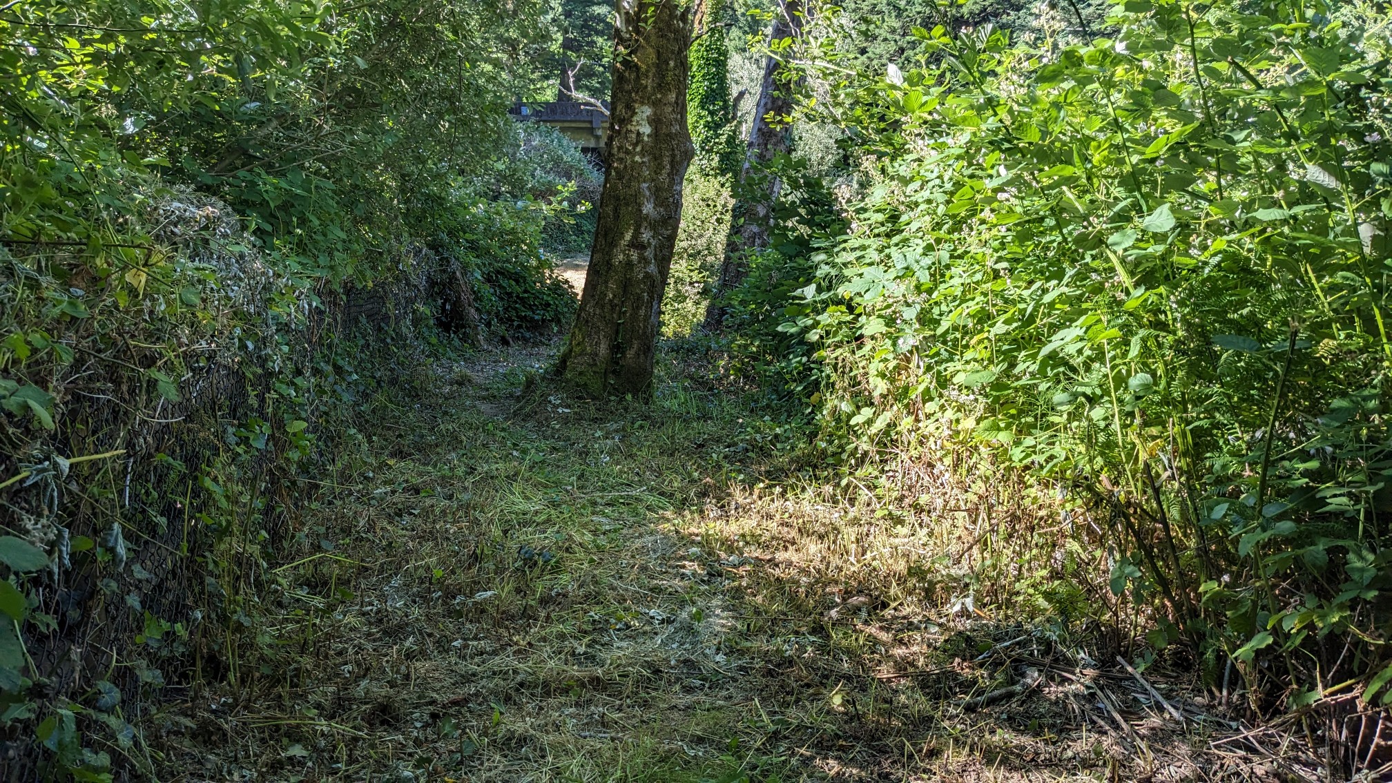
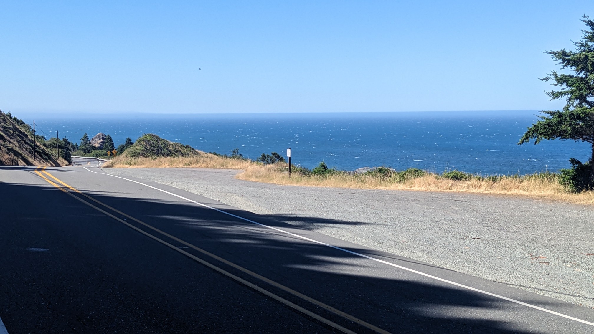
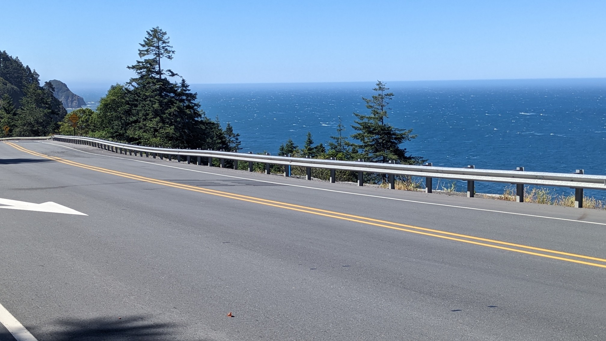
The last part of the trail looked and smelled like it had recently been weedwhacked. After that nice trail I had a couple hours of walking along highway 101. It’s not ideal, but this southern section of trail does not have many other options. There are no side roads, and the beach is too rocky/cliffy to hike. It was nice to have a view above the Pacific Ocean though.
Every once in a while I would pass a little roadside business, but this one took me by surprise. I did not expect to see a 33ft/10m tall T-Rex dinosaur standing next to the road!
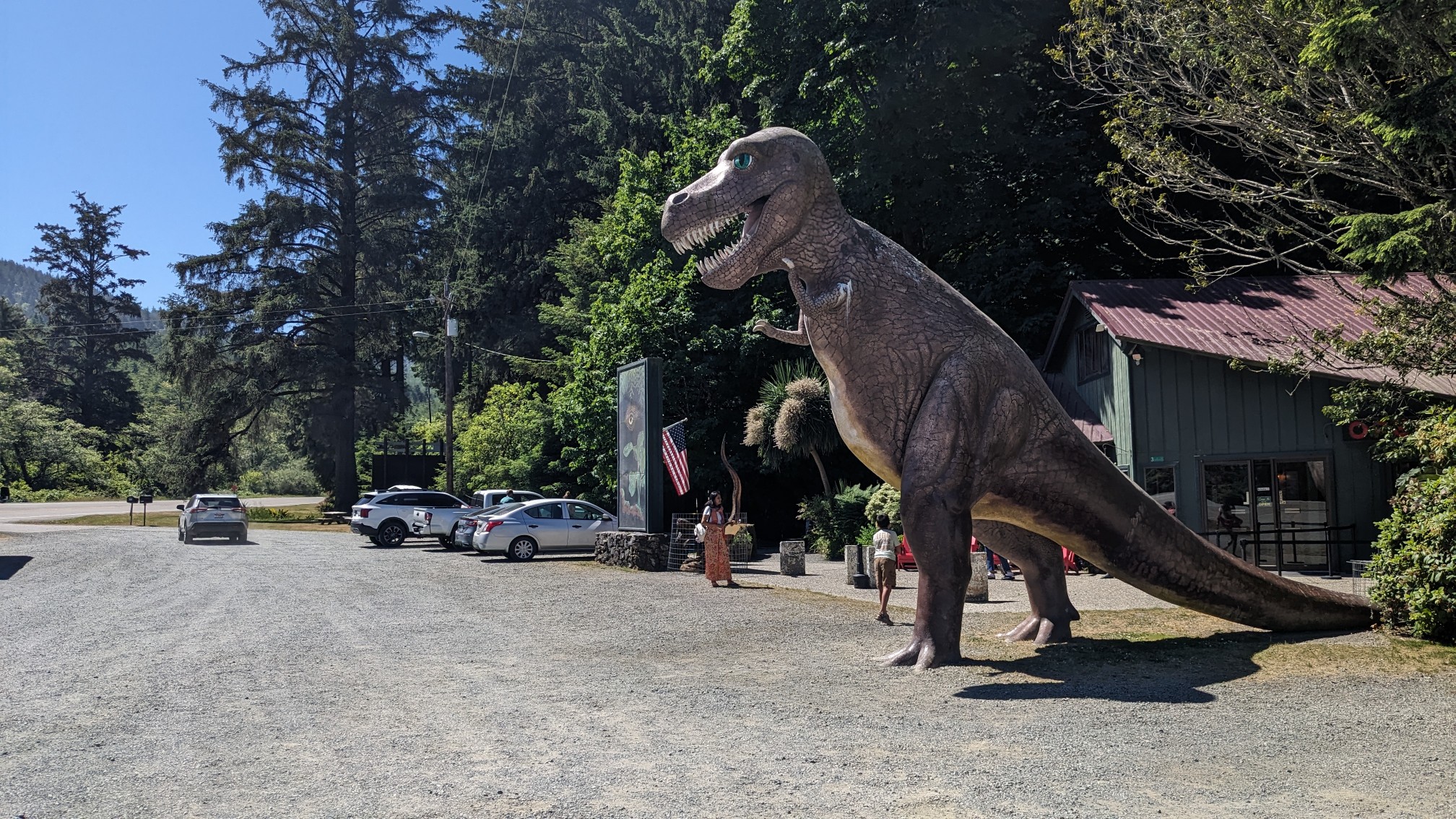
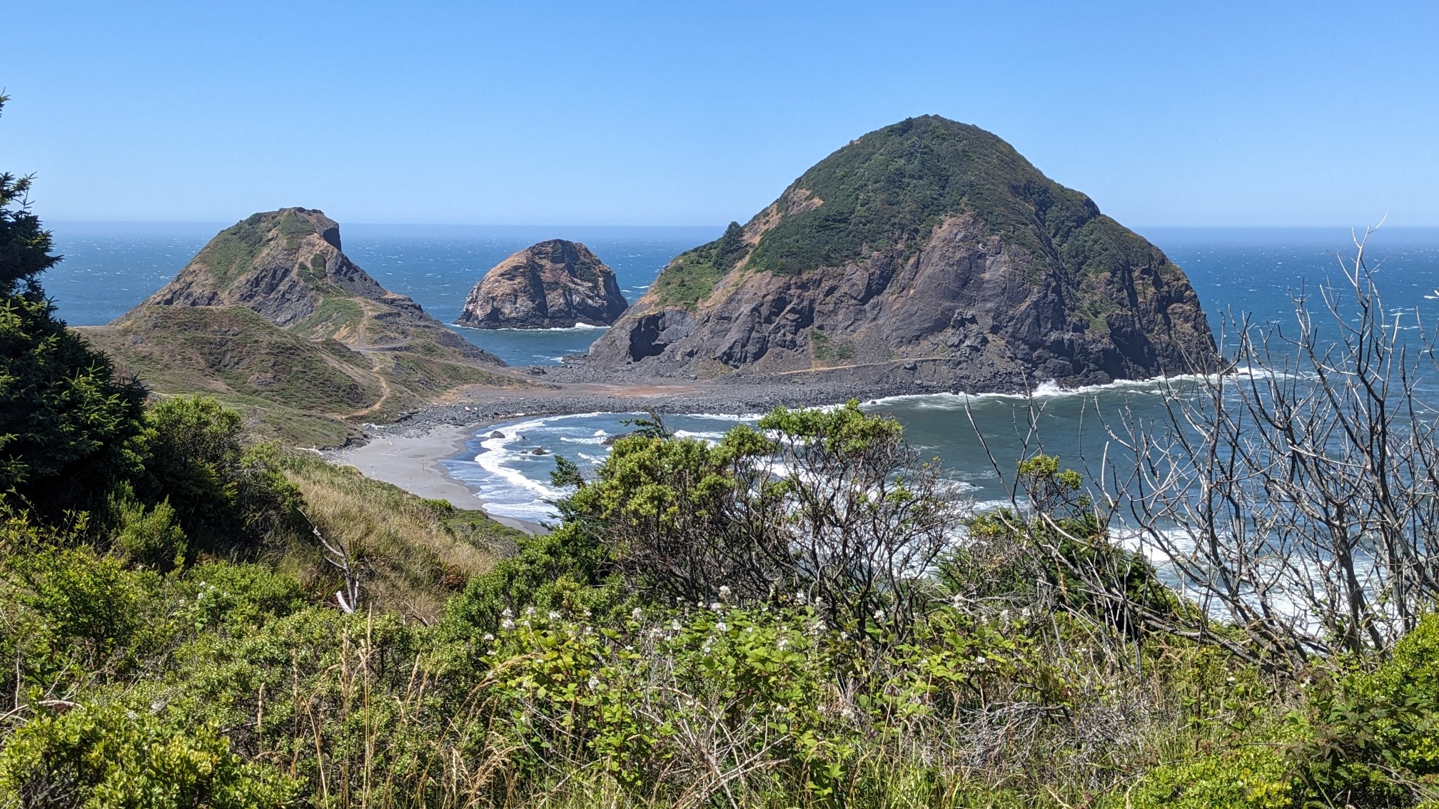
I think the attraction was called Prehistoric Gardens, a very cheesy little tourist spot. I kept going along the road until I got to Sisters Rocks, a famous view along the Oregon coast.
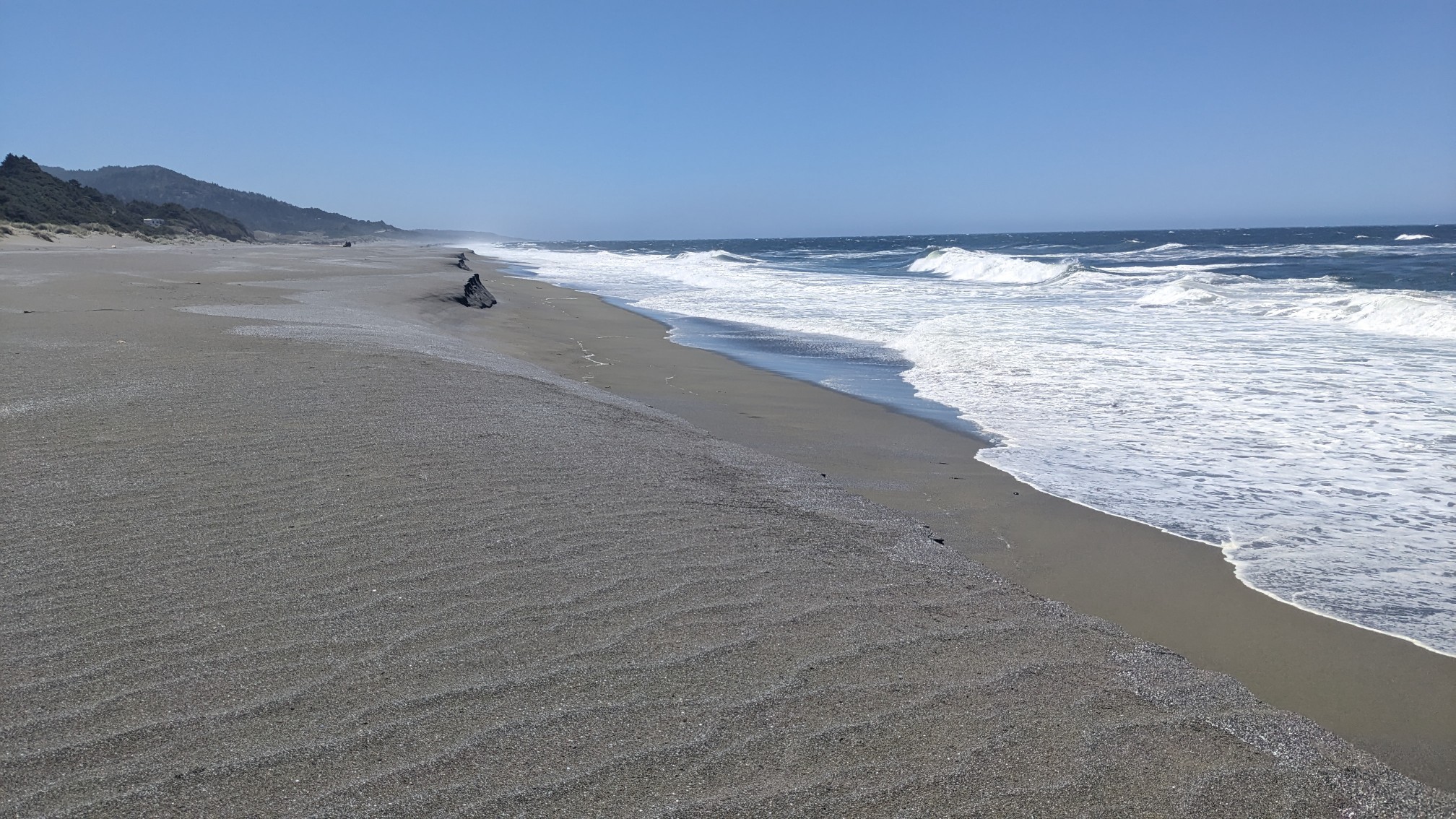
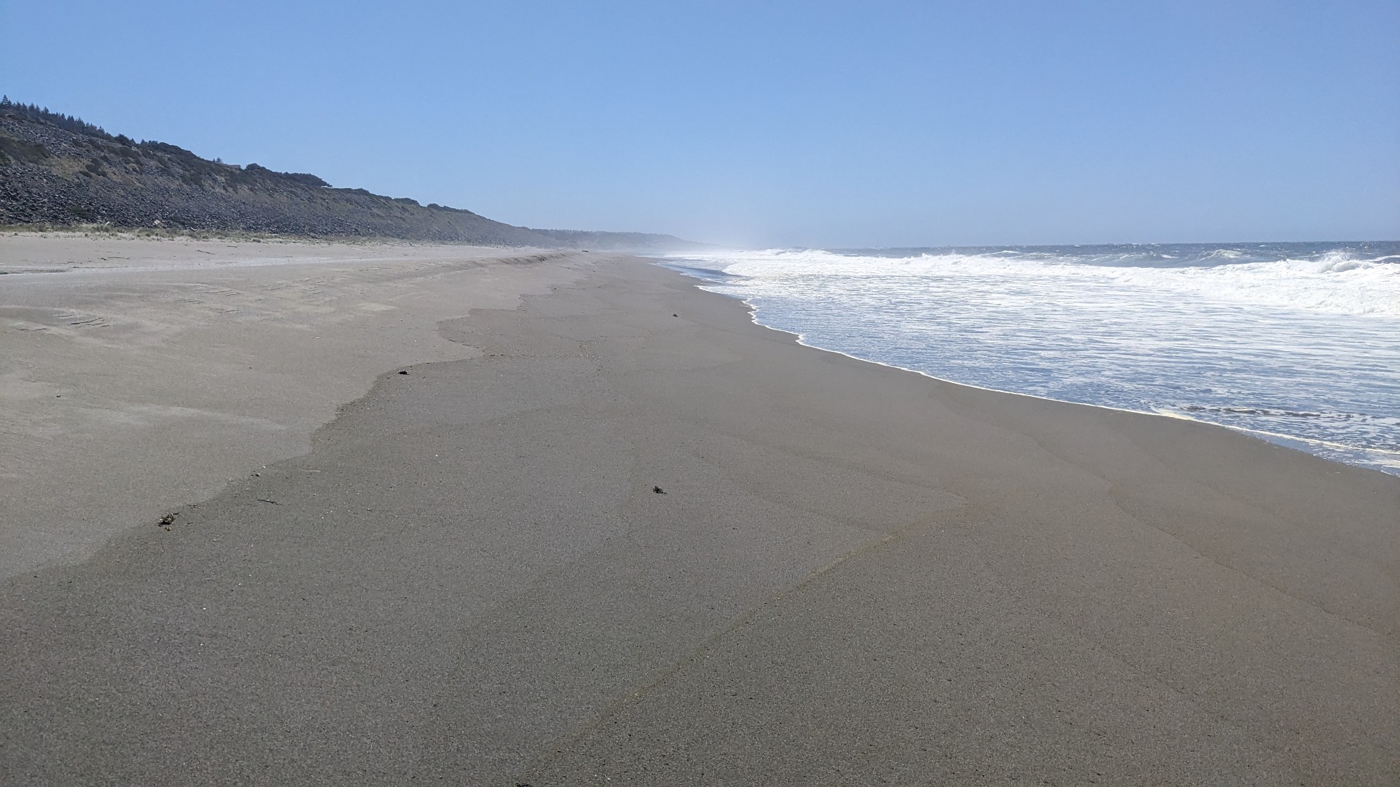
And then I had some fast easy beach walking along Ophir Beach and Nesika Beach.
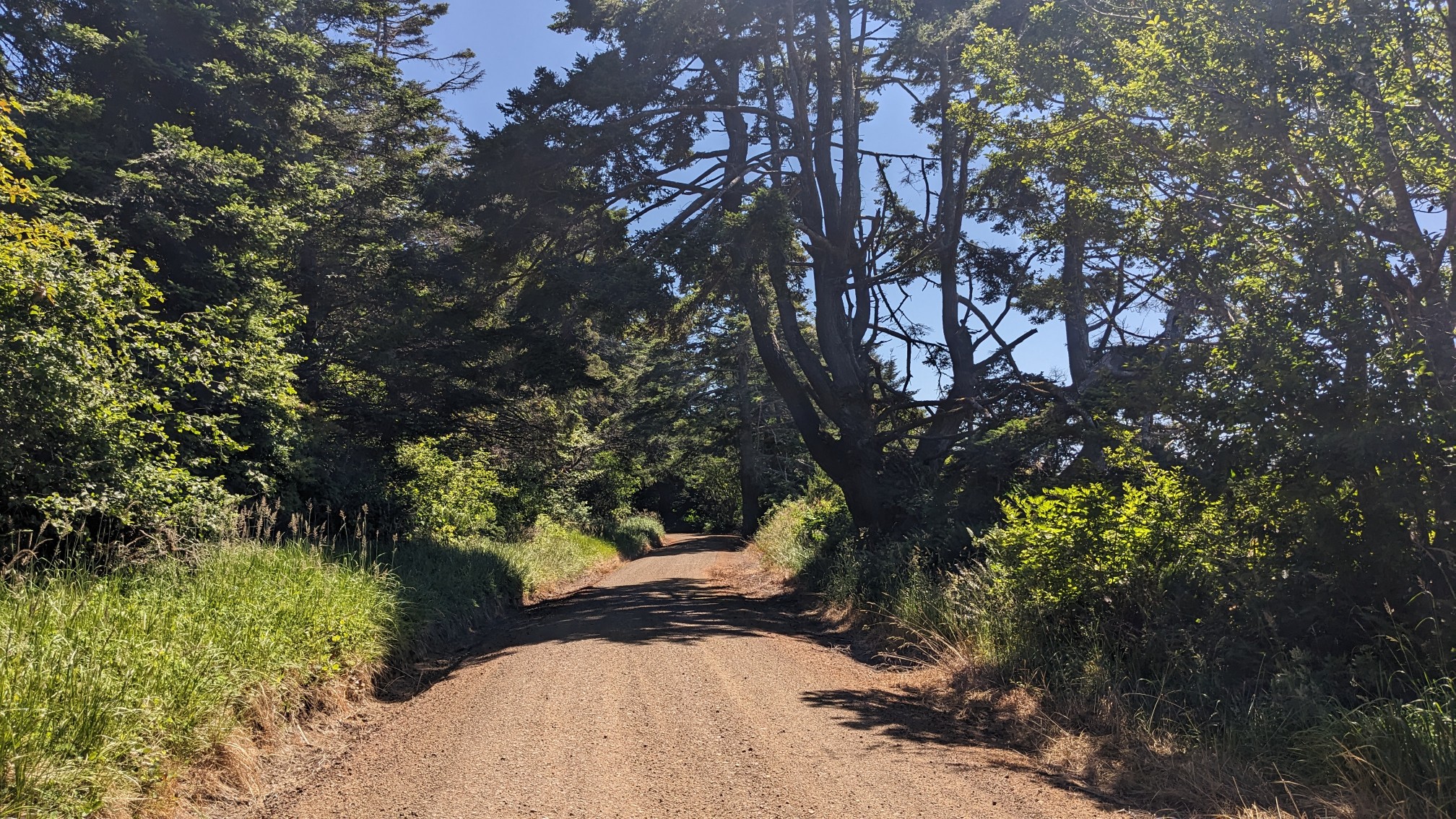
Then I was back on a road for a while, but this time it was a nice dirt road with no cars.
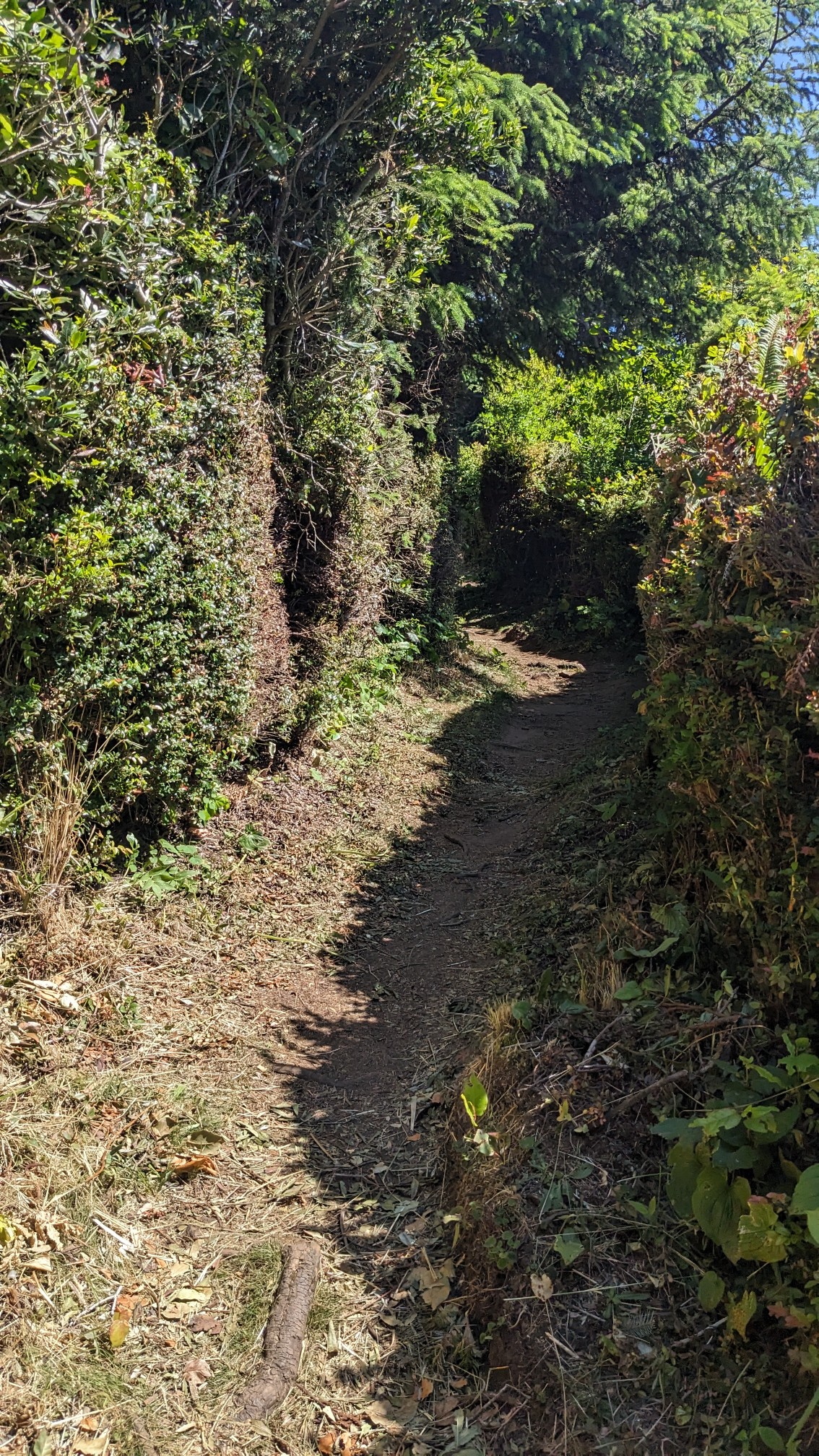
And then I entered my favorite spot for the day, Otter Point State Recreation Area. It had these cool little trails thru dense coastal bushes.
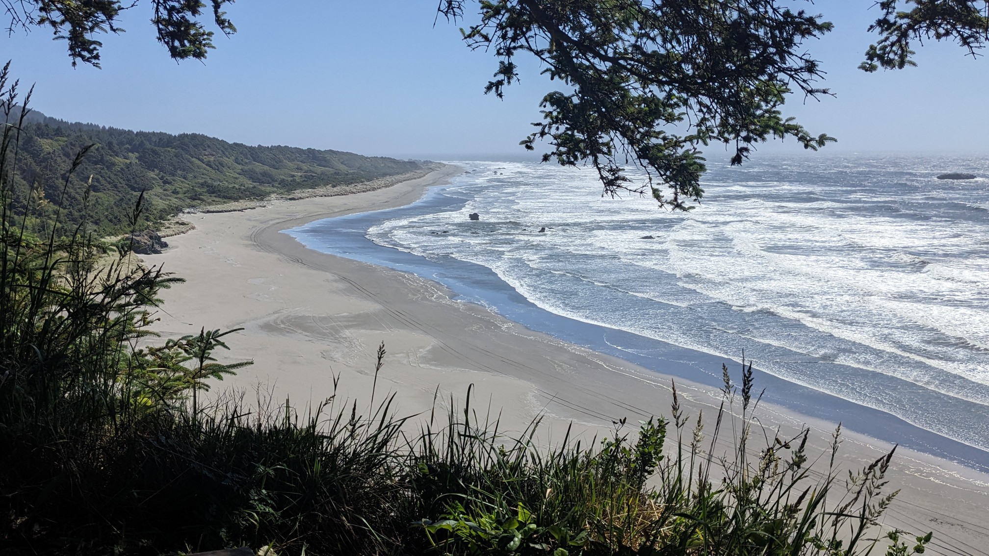
And every once in a while the trail would approach the edge of the cliff, with a bench and some spectacular views.
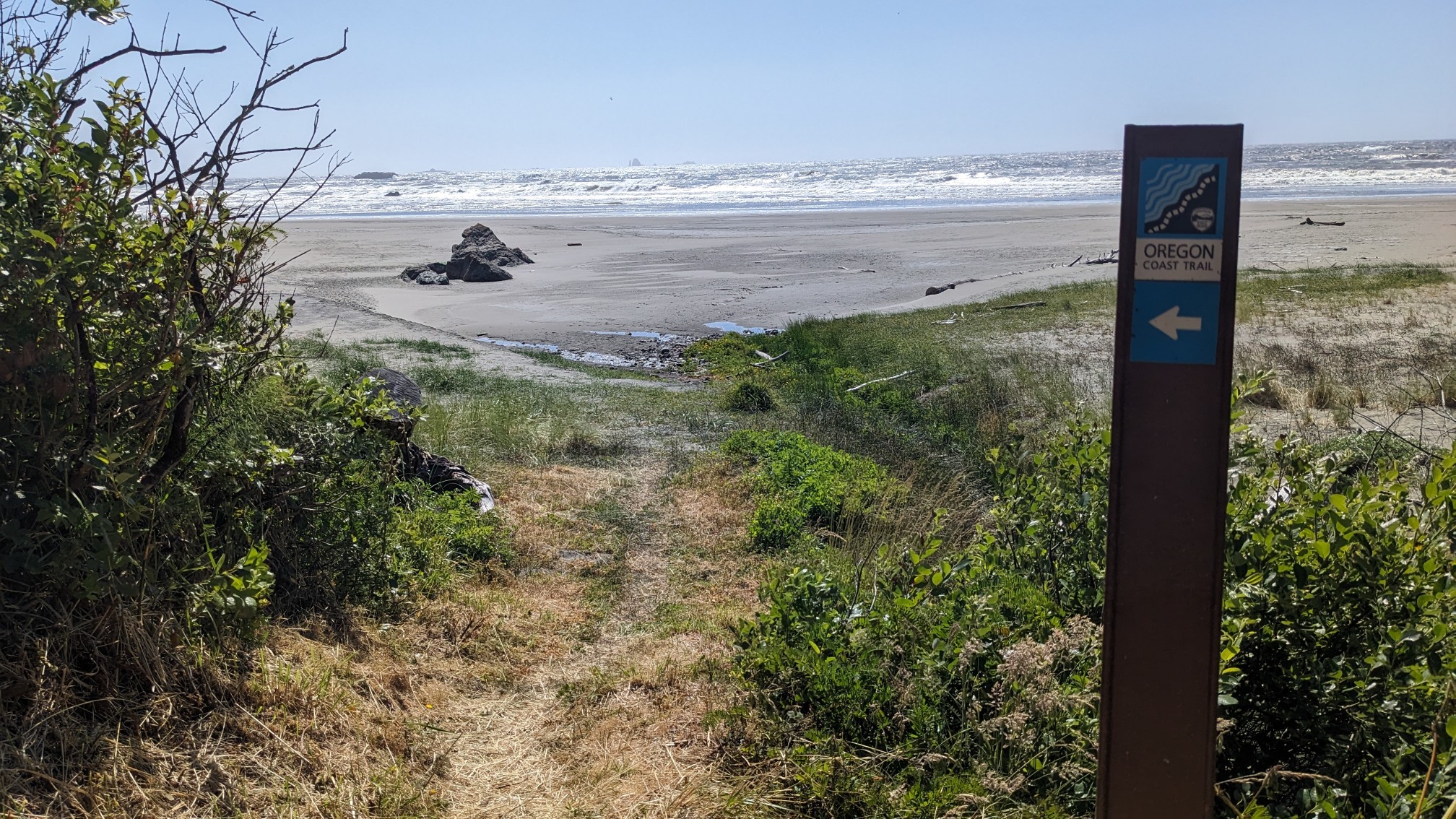
And to continue with the pattern for today, I descended back down to the beach.
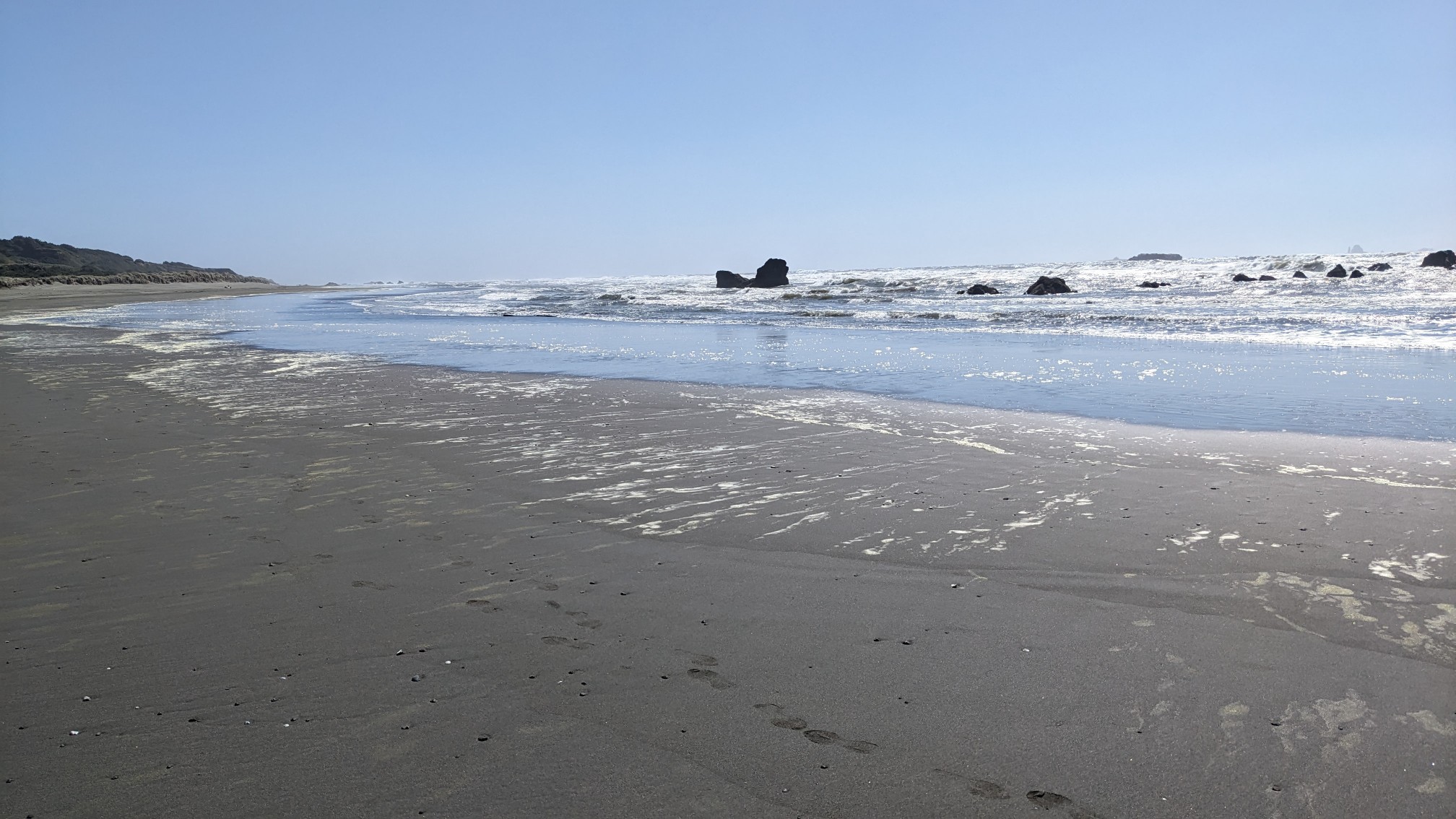
There were lots of rocks in the water, which I always like to watch the waves crash up against. I was on the beach for an hour, and then it ended at a jetty for the Rogue River.
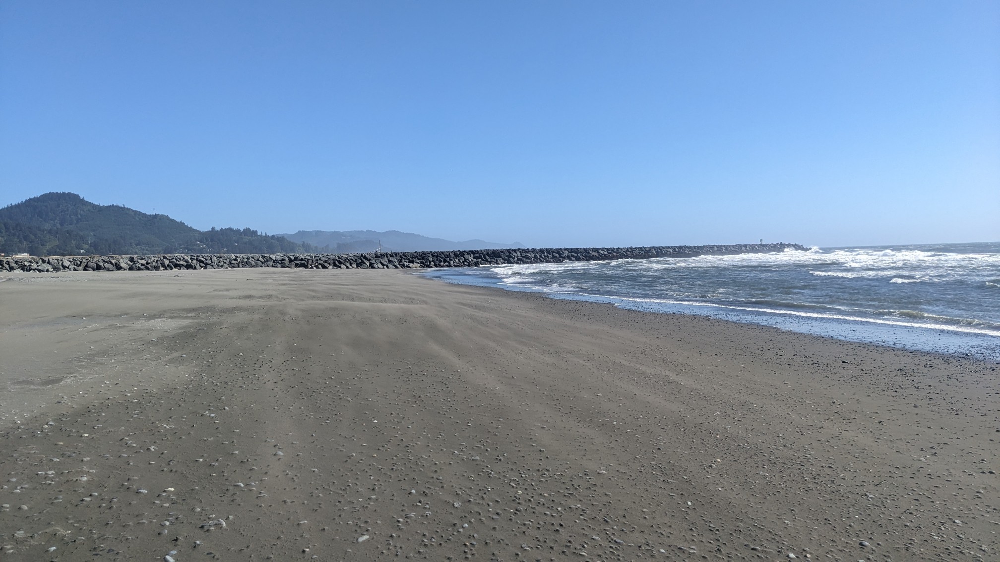
I scrambled up to the top of the jetty and hiked along it for a few minutes. I think they build these to keep the sandbars from shifting around and blocking the shipping channel in the river. It was very windy here since I was exposed to the ocean from both sides.
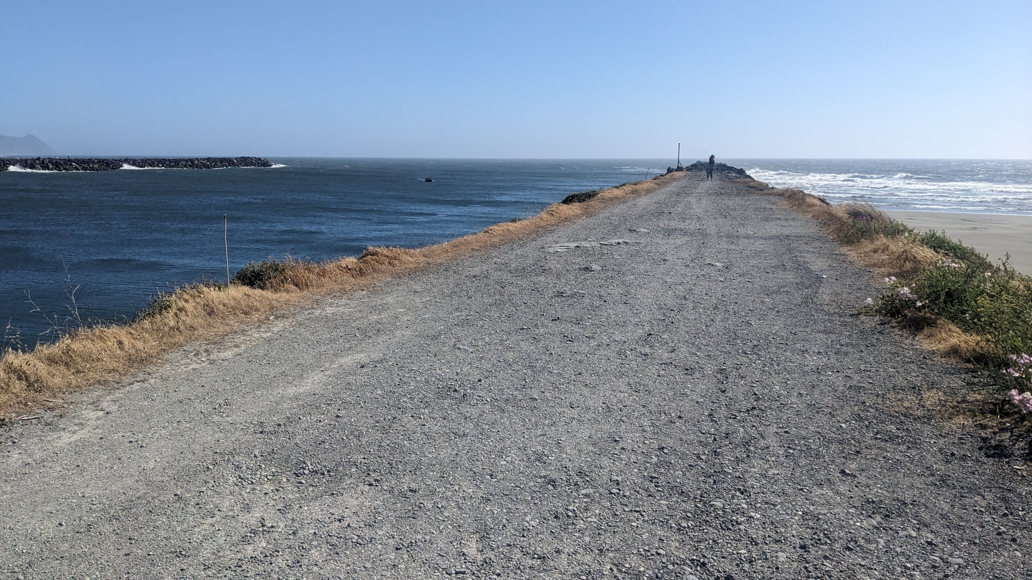
And across the Rogue River I could see the little town of Gold Beach.
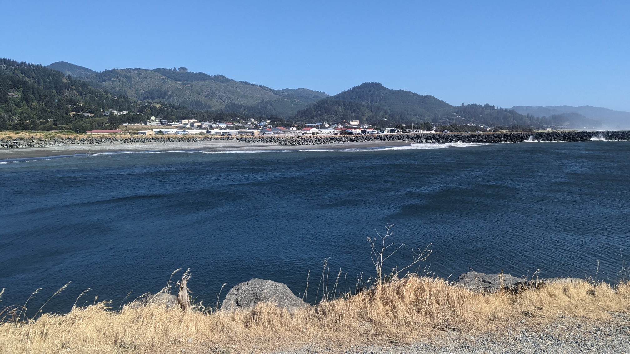
The Rogue River is massive and it starts way up in the Cascade mountains, so I would have to cross it on the highway bridge.
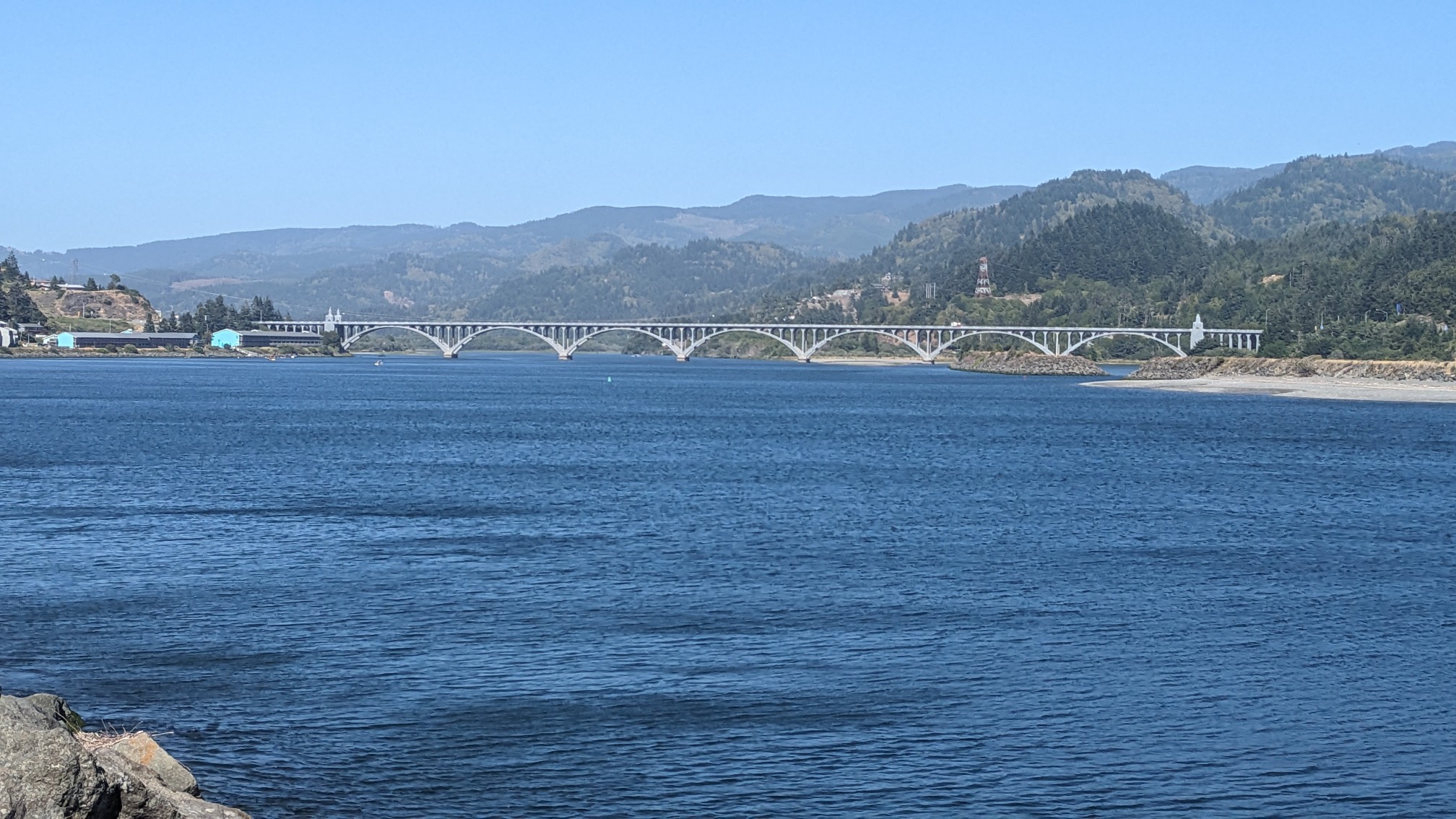
So I hiked on the road again for a couple miles, but this section had sidewalks which was a nice improvement.
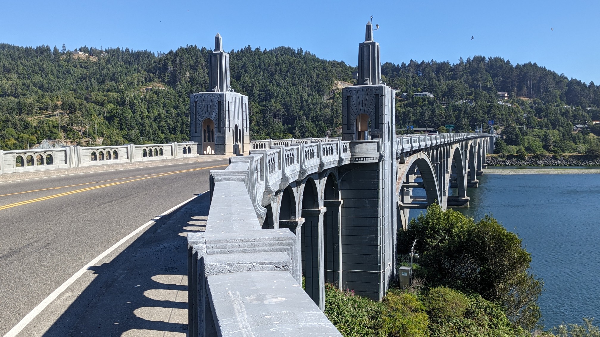
And I was way above the Rogue River.
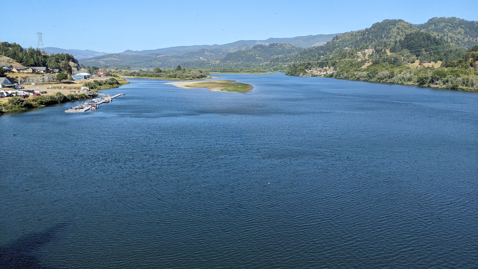
I think further upstream, this river is known for whitewater rafting and kayaking. As soon as I was across the bridge I was in Gold Beach.
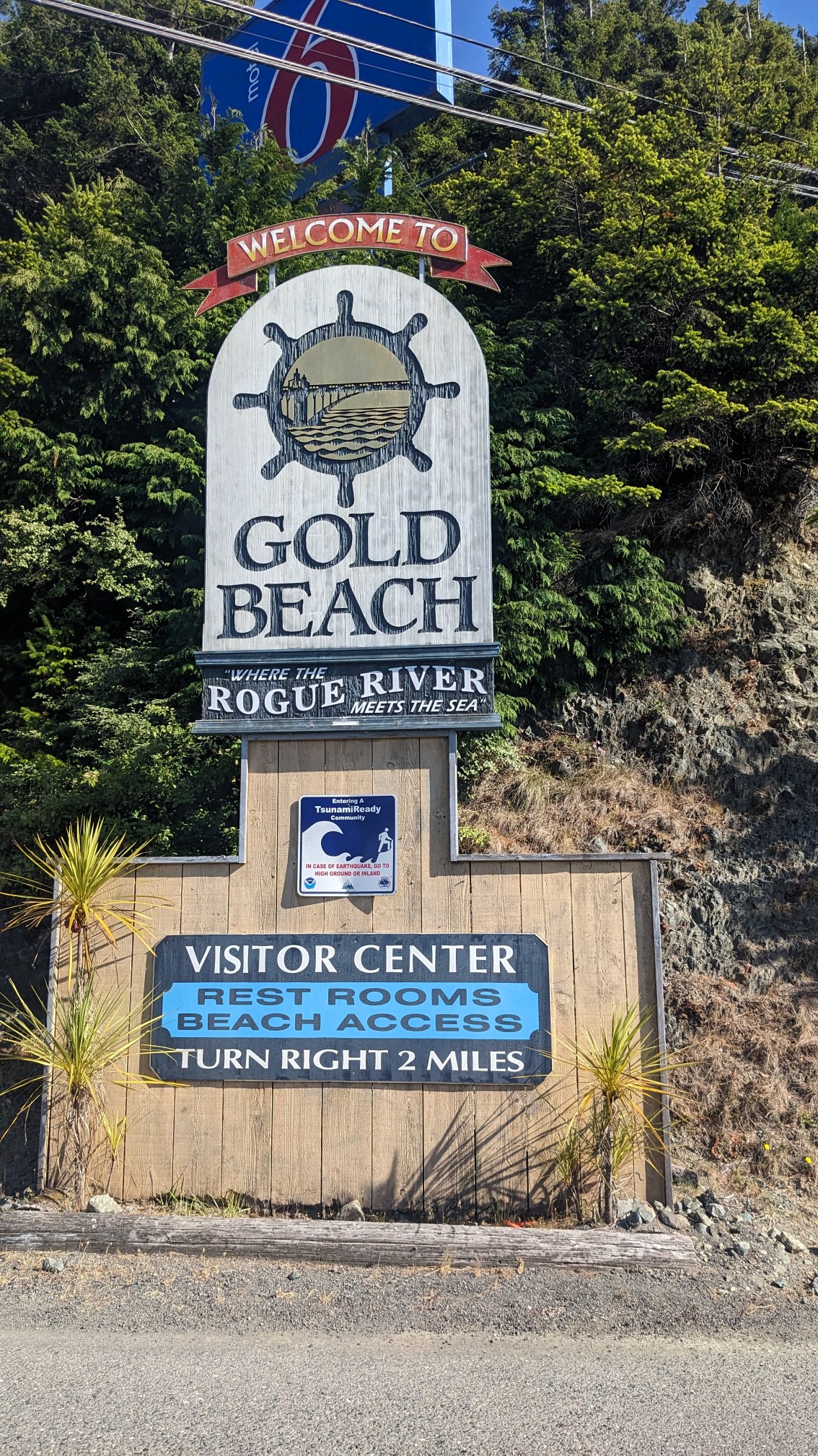
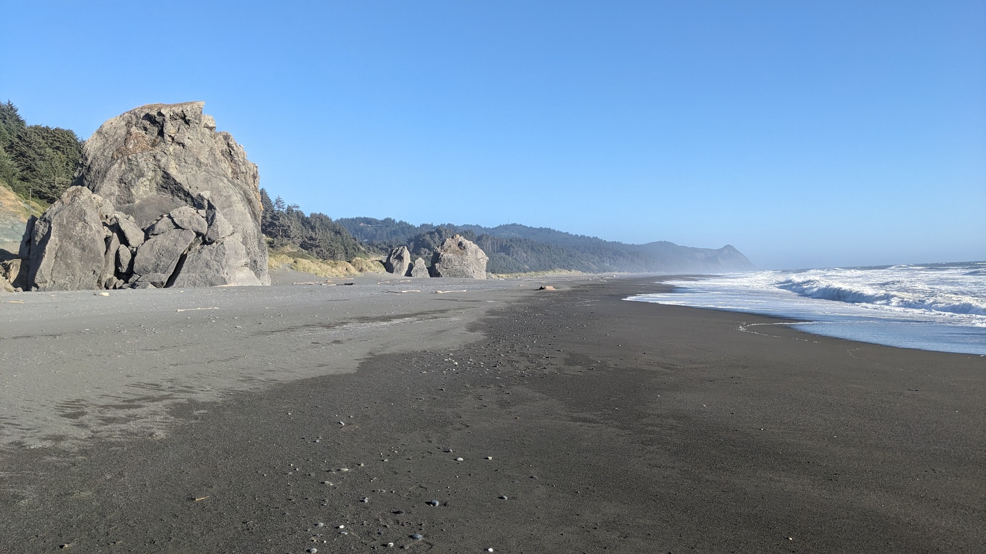
I walked right through town and I even stopped at a grocery store to get a couple of snacks. This is the most remote section of trail, and there are no stores or places to get food for the next 40 miles. I got back on the beach and hiked it for a couple hours.
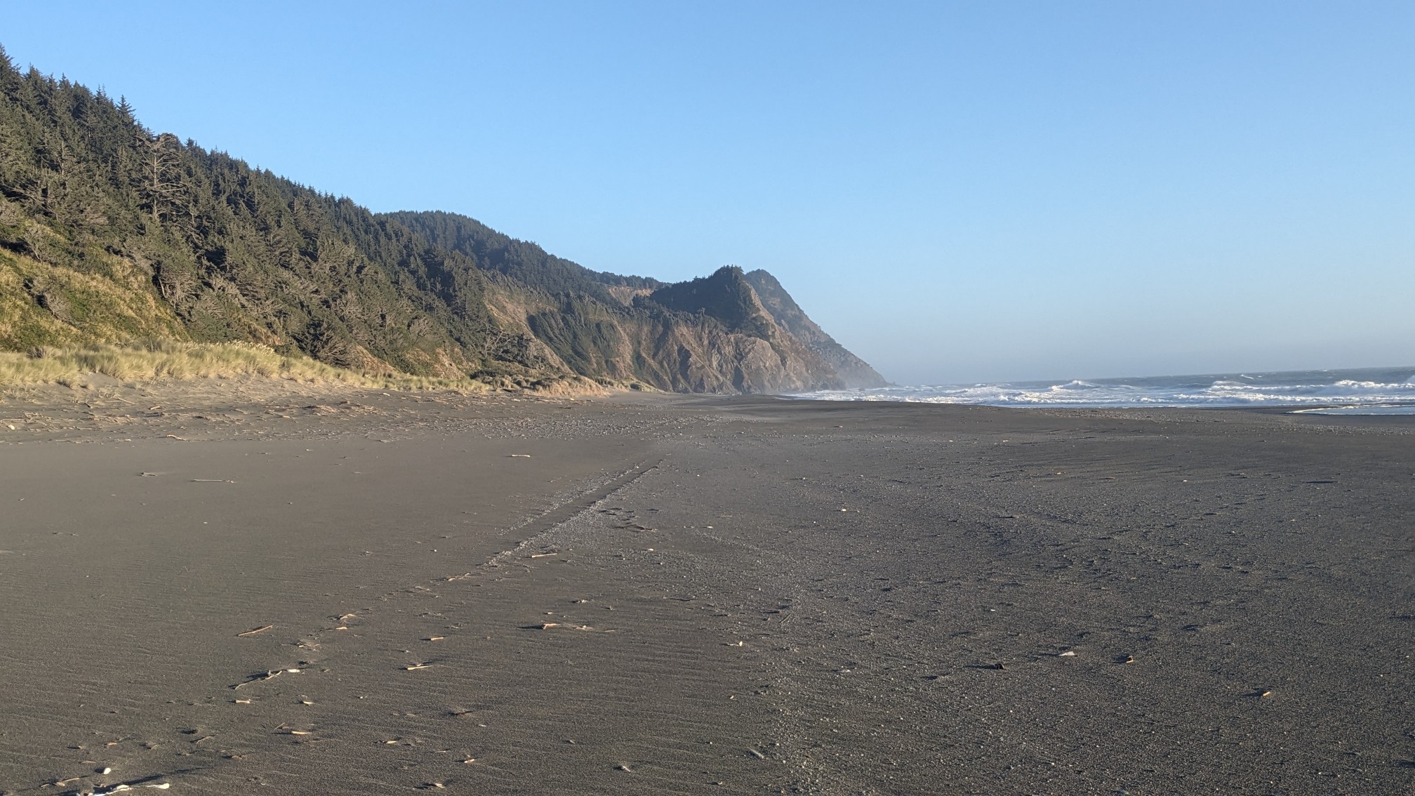
I could see my destination for the evening getting closer, Cape Sebastian.
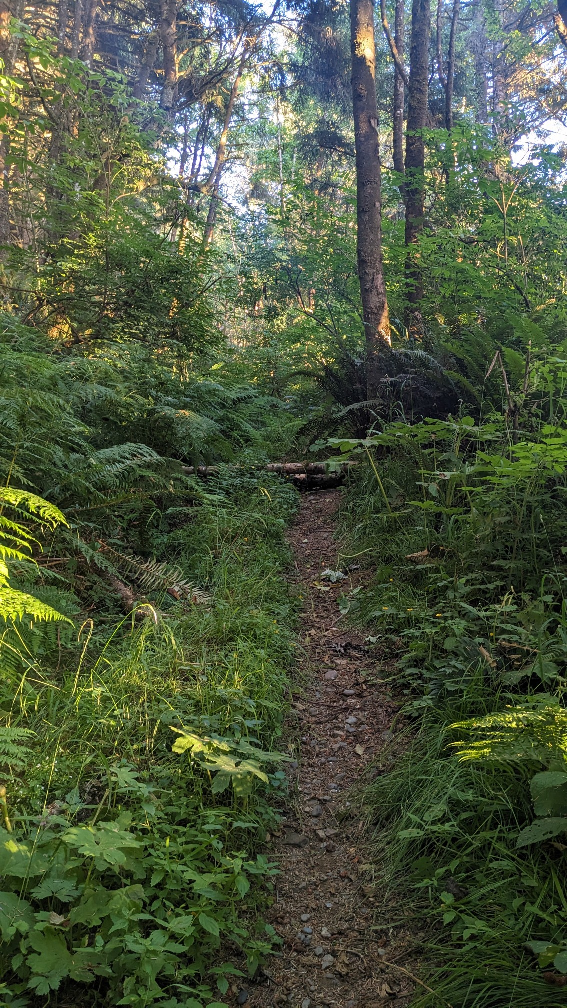
It was a little tricky to find the start of the trail leaving the beach, but it was actually a very nice trail once I was on it.
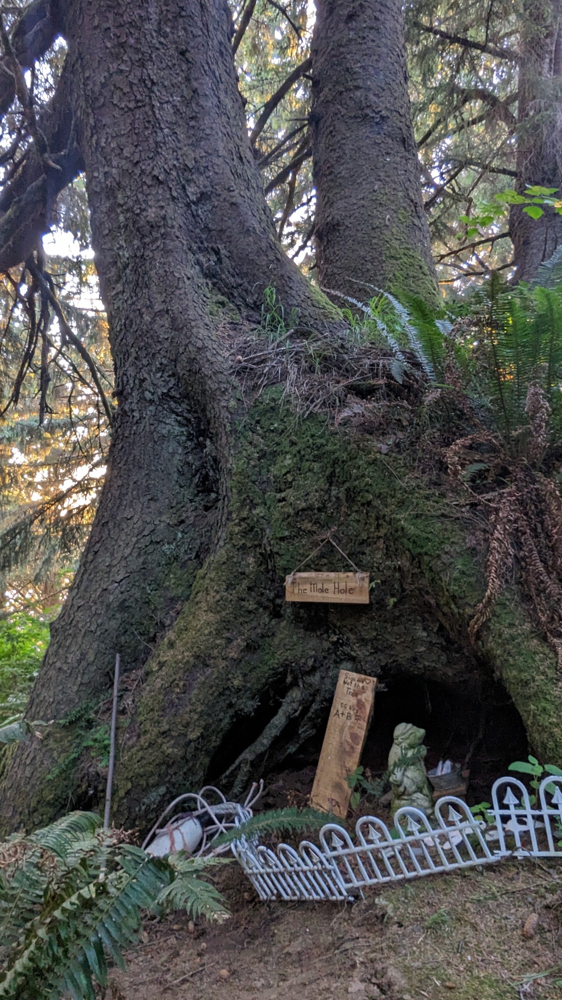
For some reason, locals had decided to decorate and name this tree. Fascinating.
By now it was 8pm and I was looking for a spot to camp, probably on the side of the trail. The area was pretty flat but it was also quite brushy.
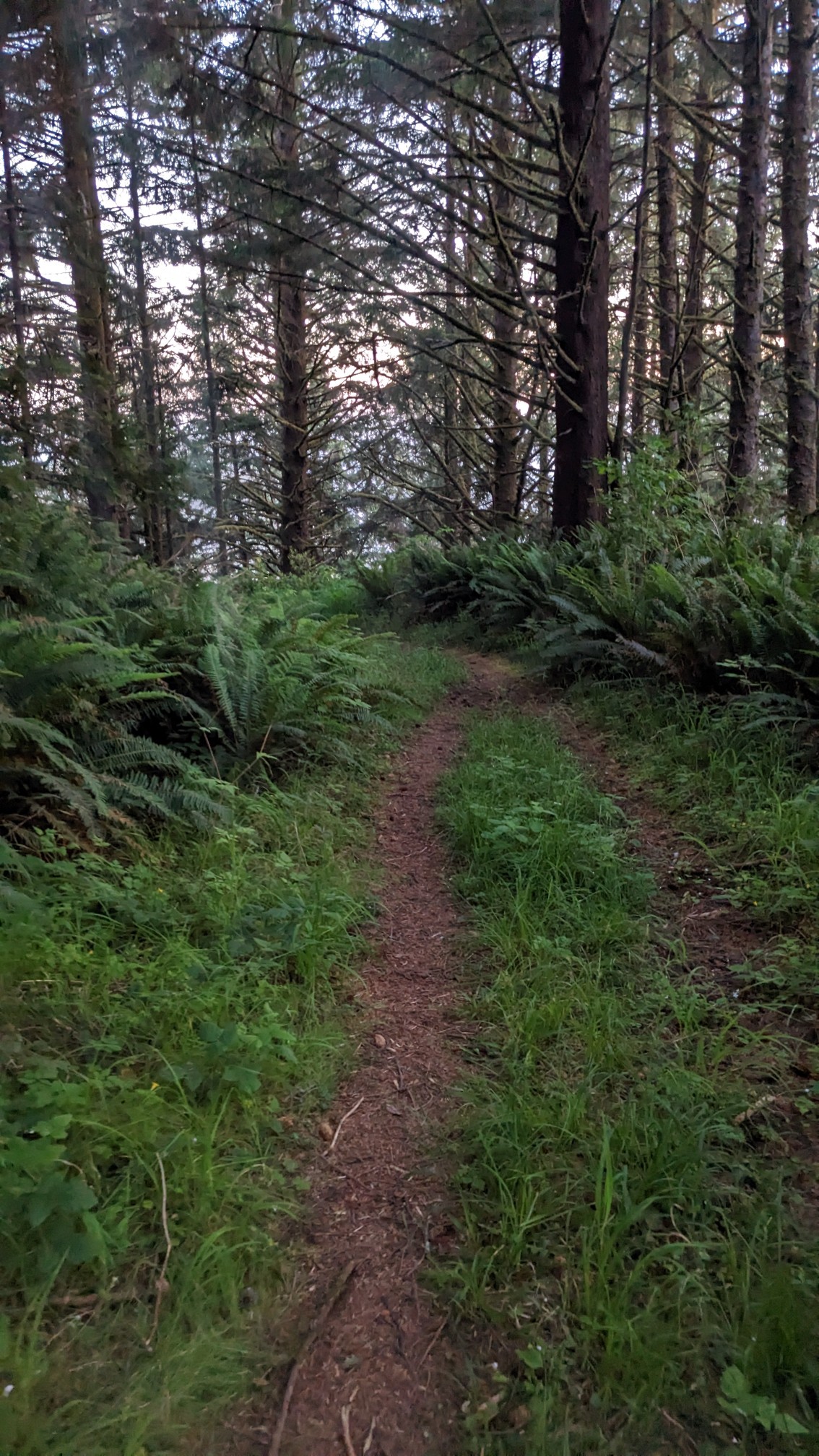
I had to get creative, and eventually I found a little spot under a spruce tree. My home for the evening!
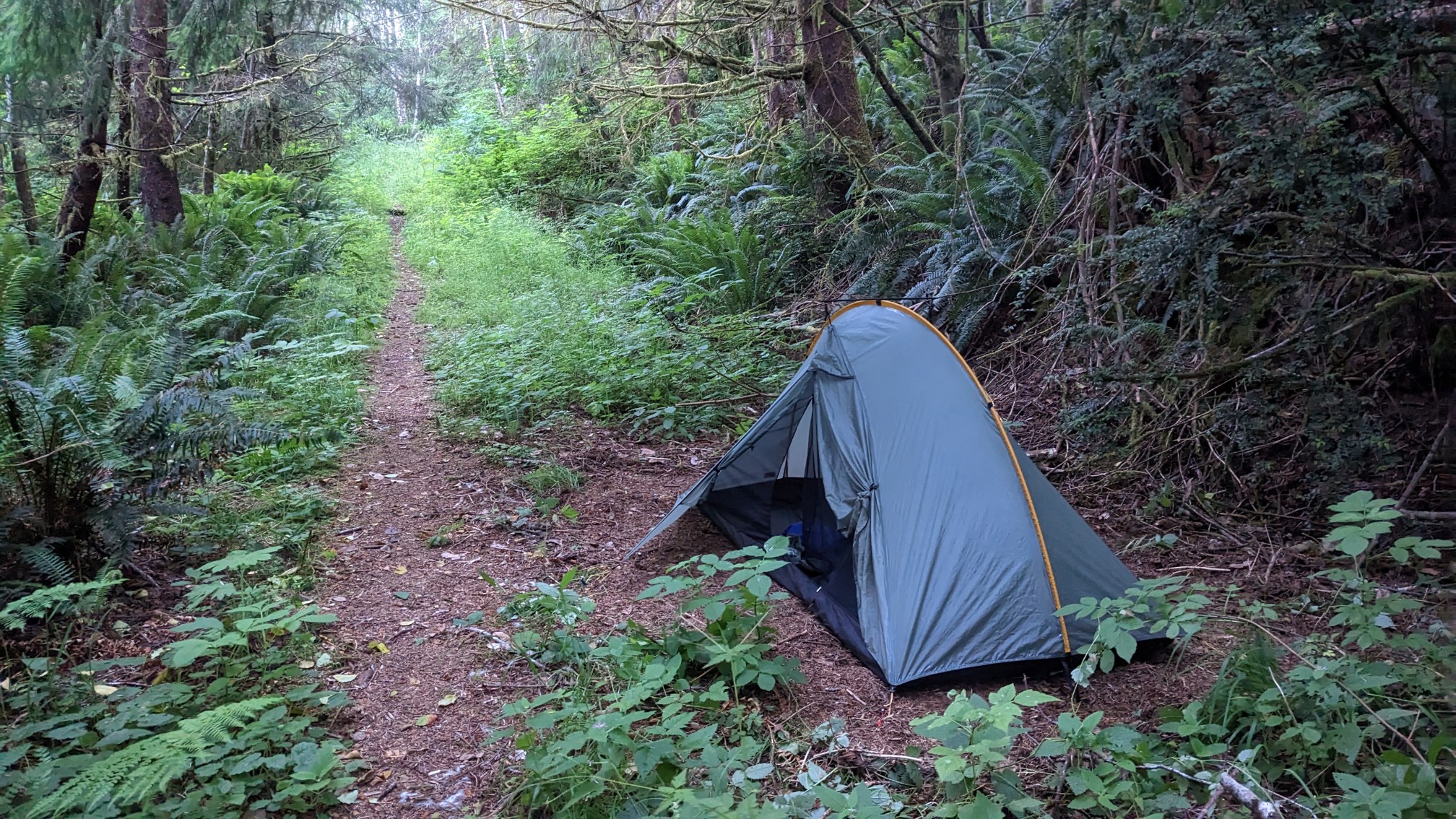
I could hear the ocean crashing far below me on the rocks, and I fell asleep to a nearly full moon.