Monday July 3, 29.2mi/47.0km
Cape Sebastian State Park (369.8/280ft) to Harris Beach State Park Campground (398.2/145ft) (OR) +0.7mi navigation problems, +0.1mi campground
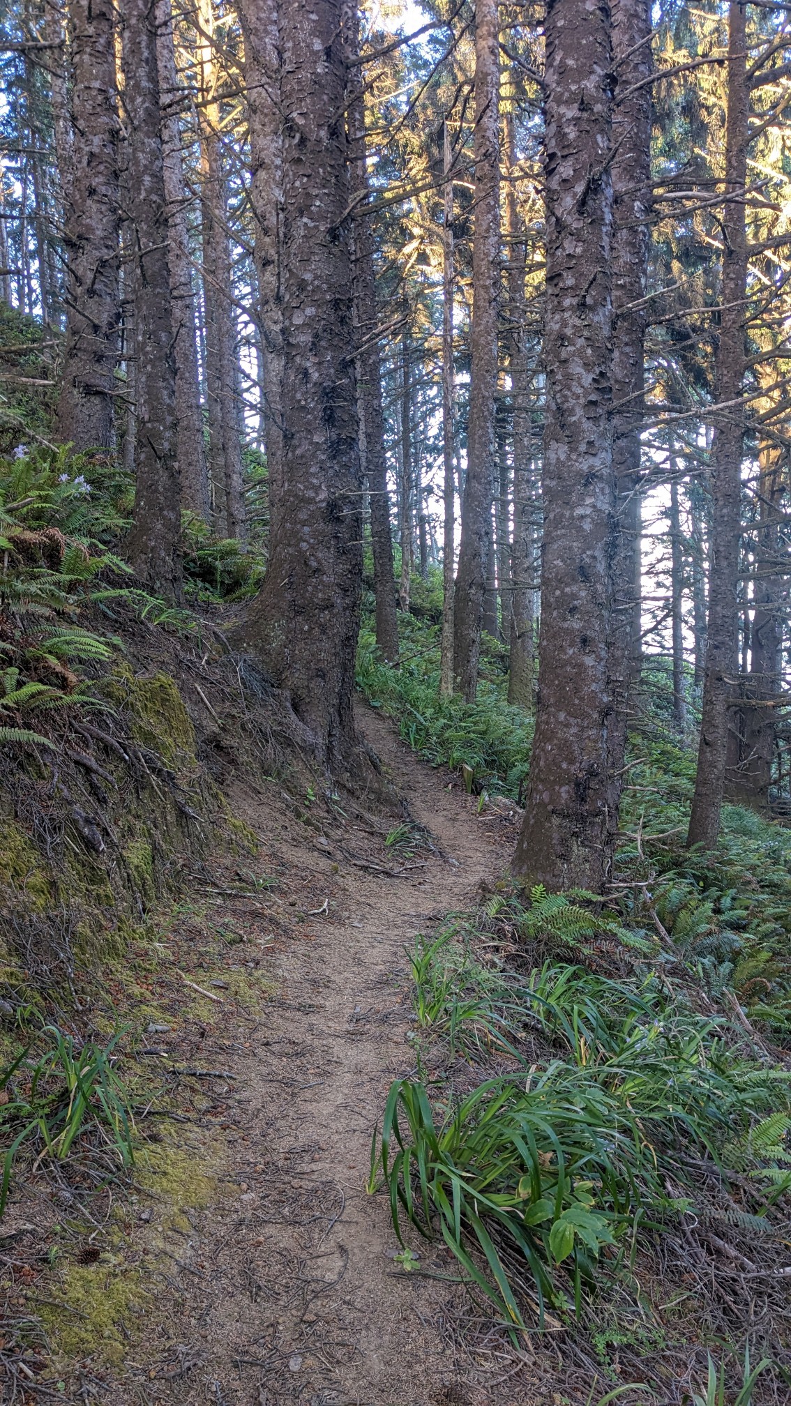
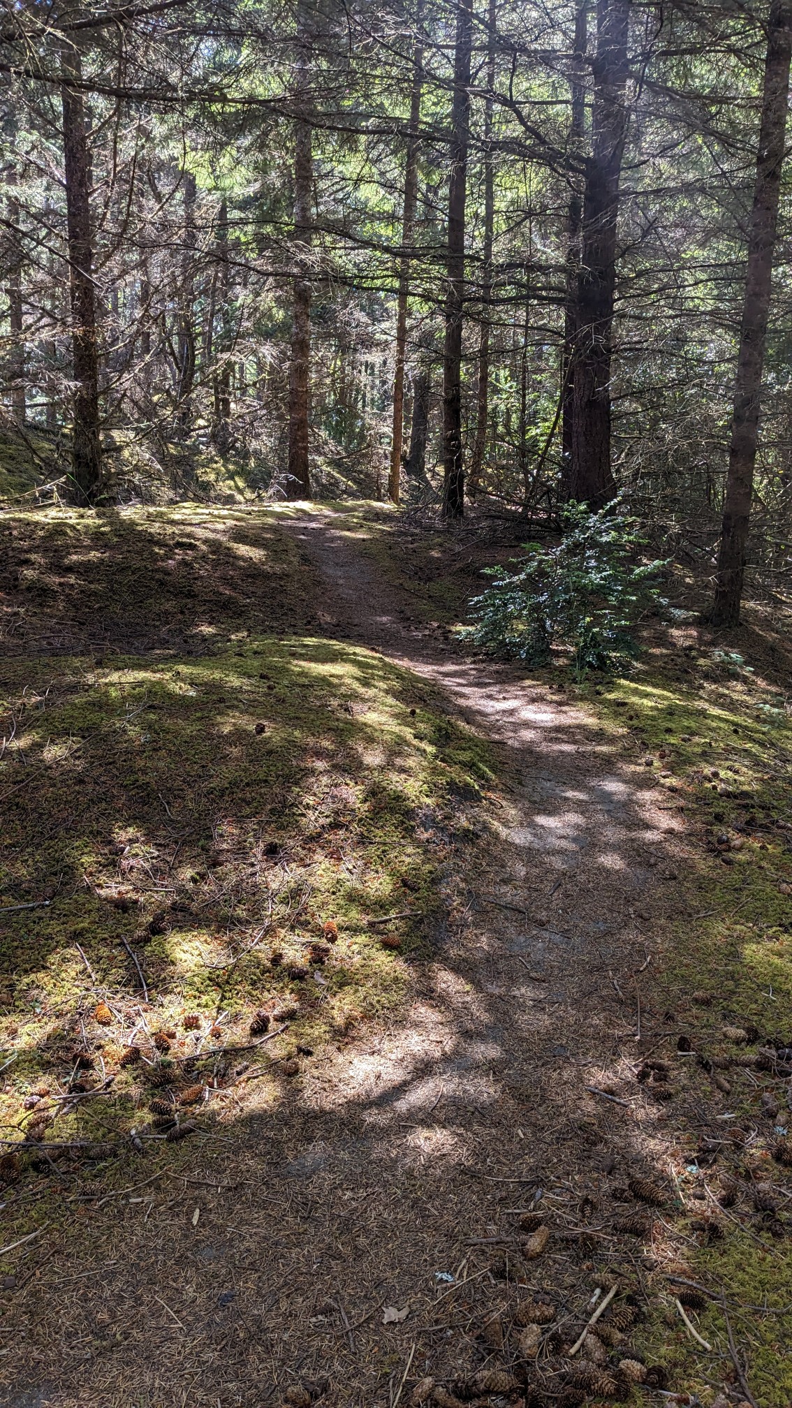
I packed up early at 6am, because I was camped in the middle of the trail, but also because I had to hike 30 miles today. The first hour through the forest flew by quickly.
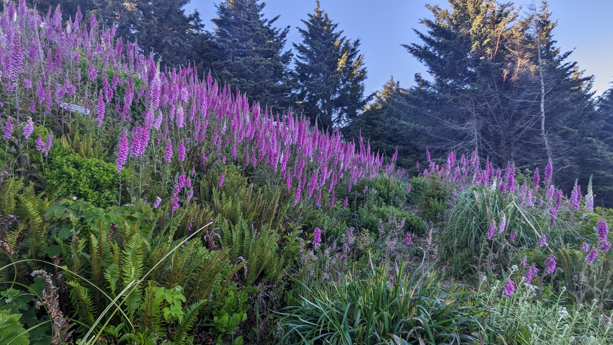
As I climbed up to the top of Cape Sebastian, I emerged into a meadow of wildflowers.
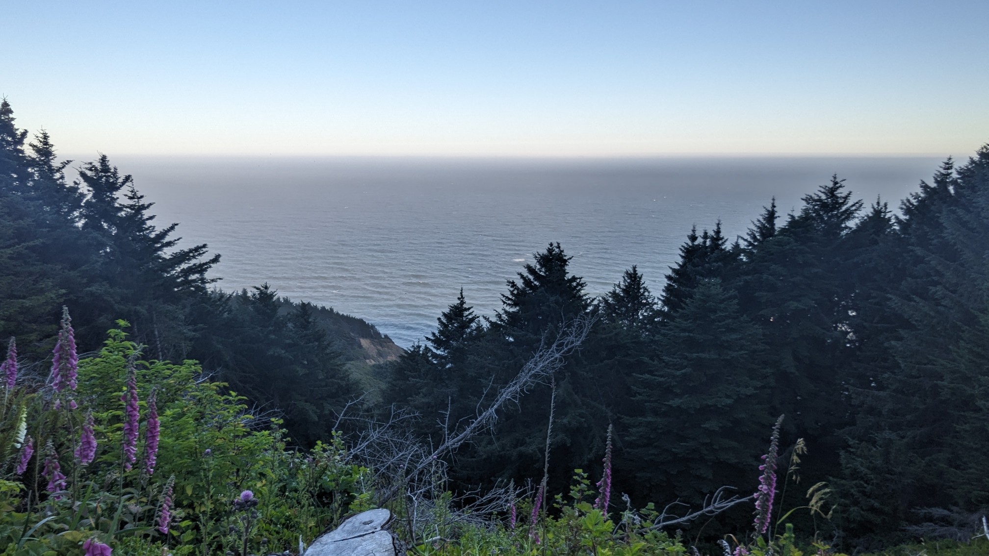
And of course the view from the top was a nice reward.
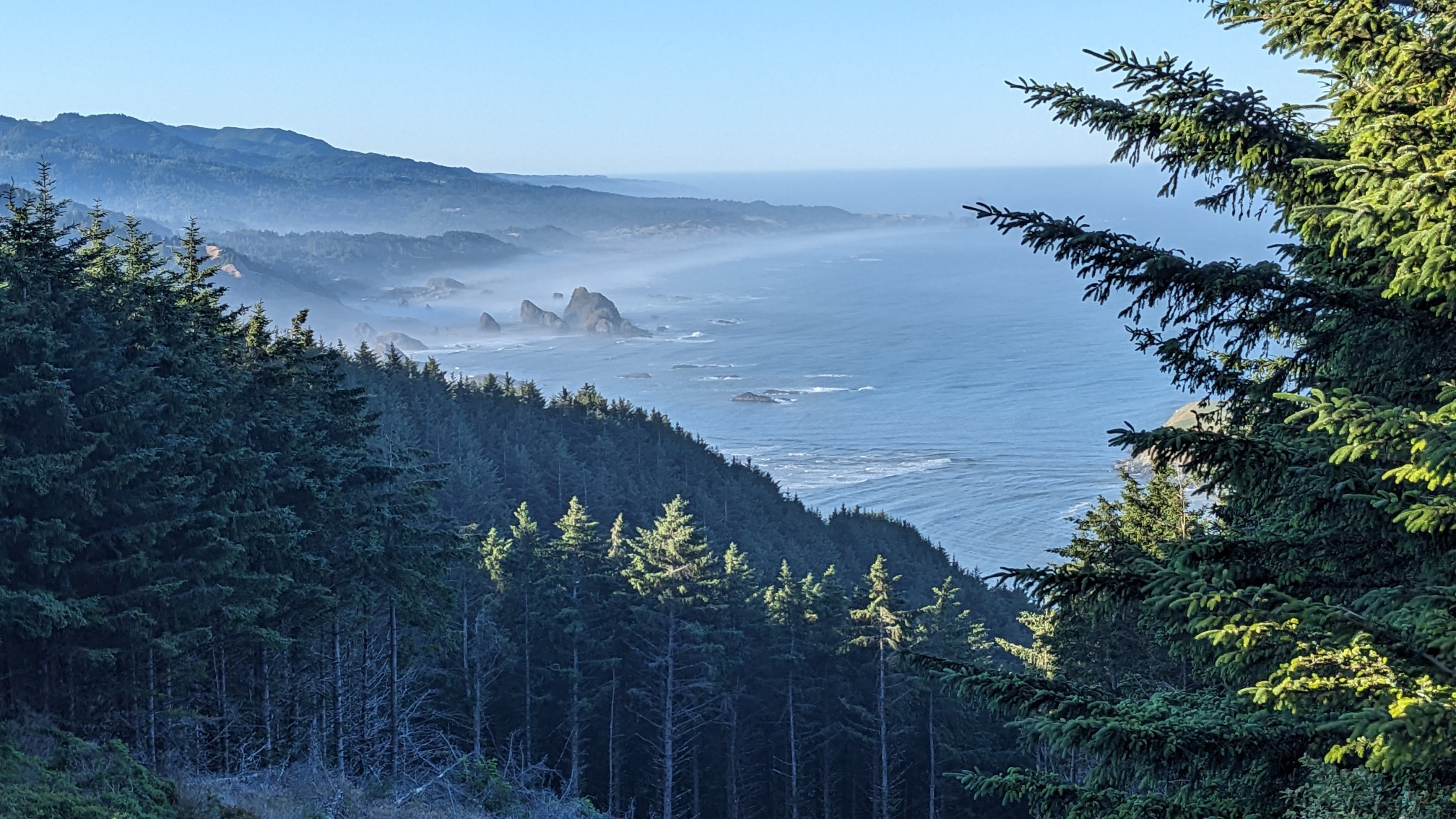
Looking ahead to the beach I would hike next:
On the descent, the trail tunneled into the bushes.
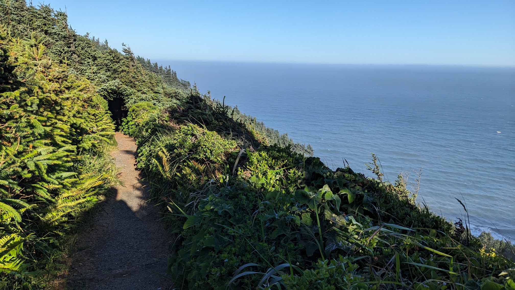
And eventually the vegetation became taller trees, but it was still a tunnel!
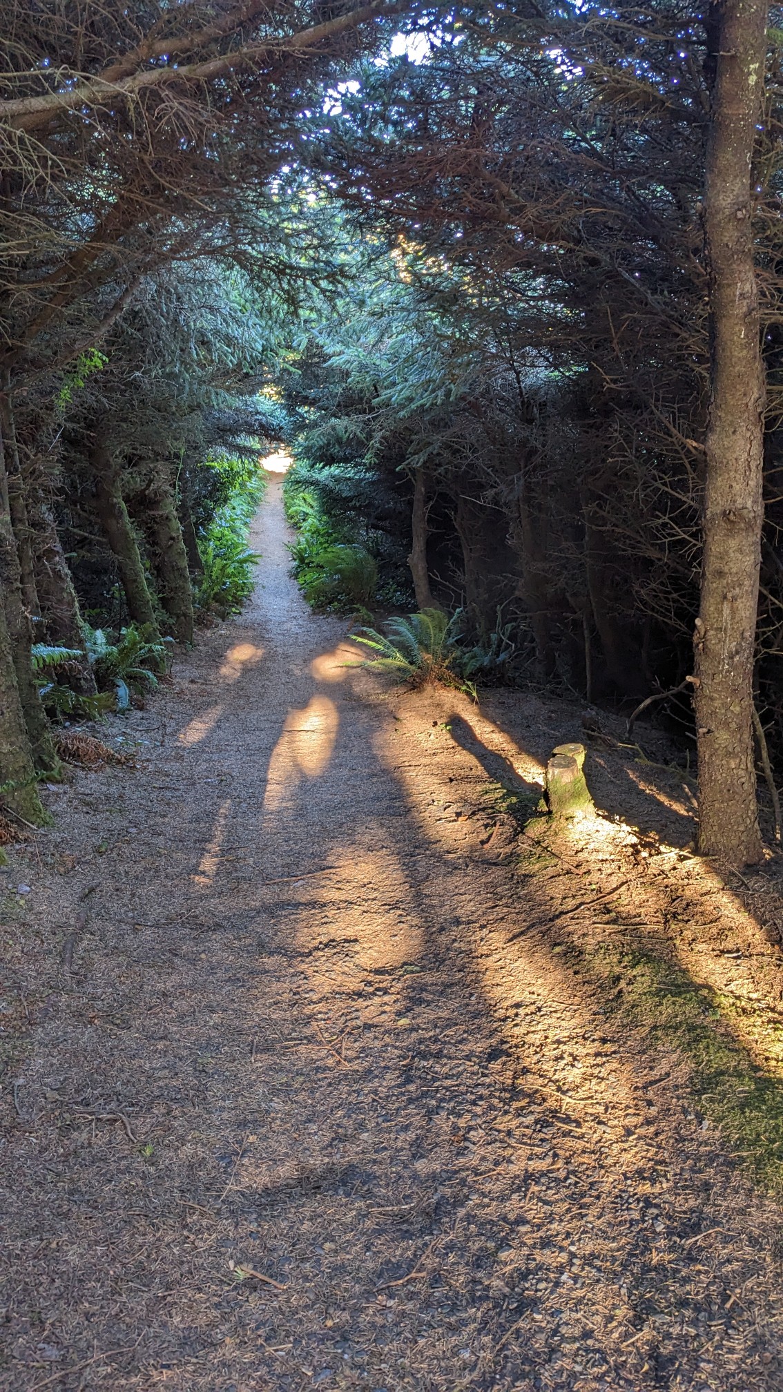
When I neared the ocean, the forest opened up. I also had to watch for poison oak in this section.
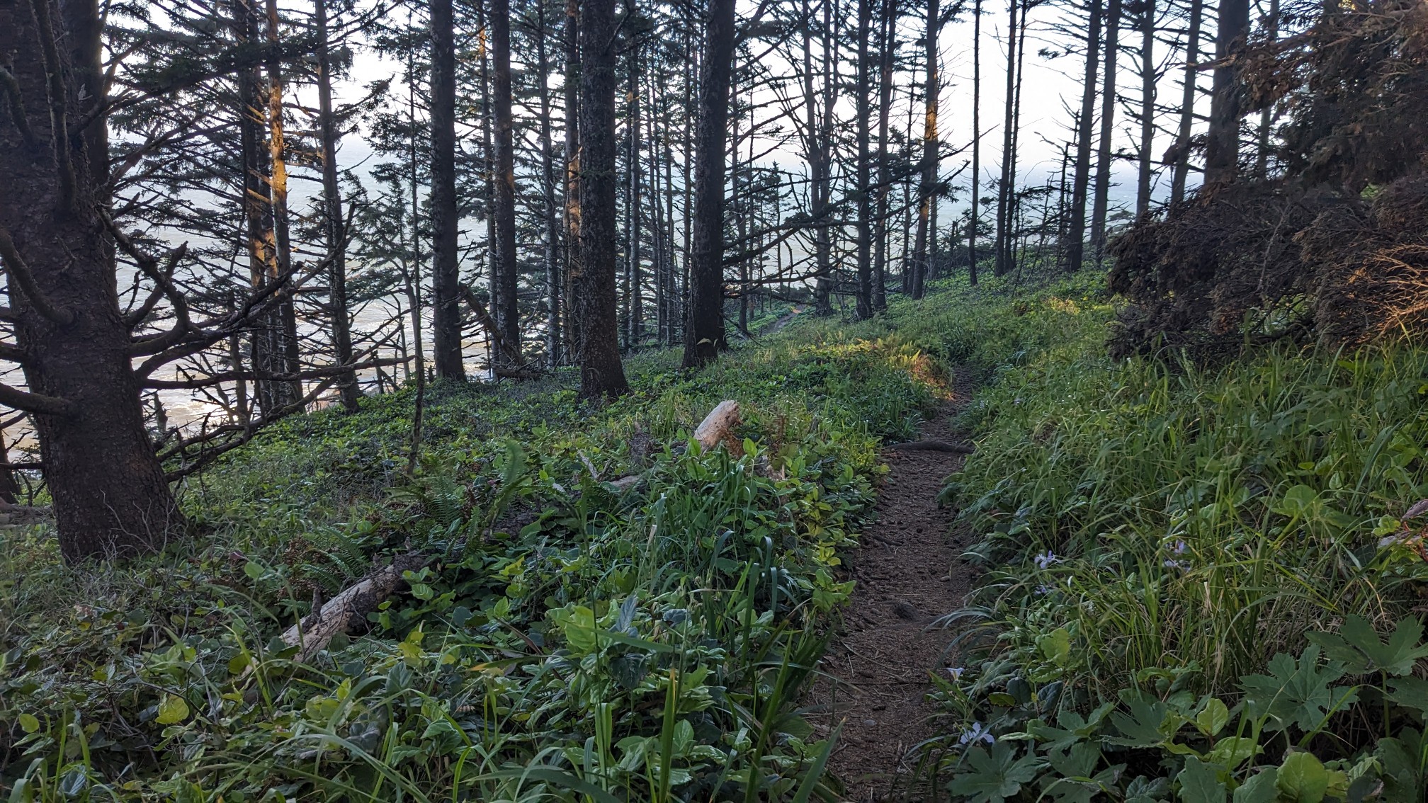
It was fun to walk just above the sea for awhile.
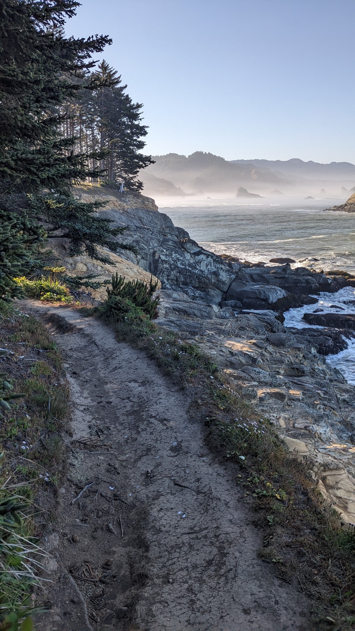
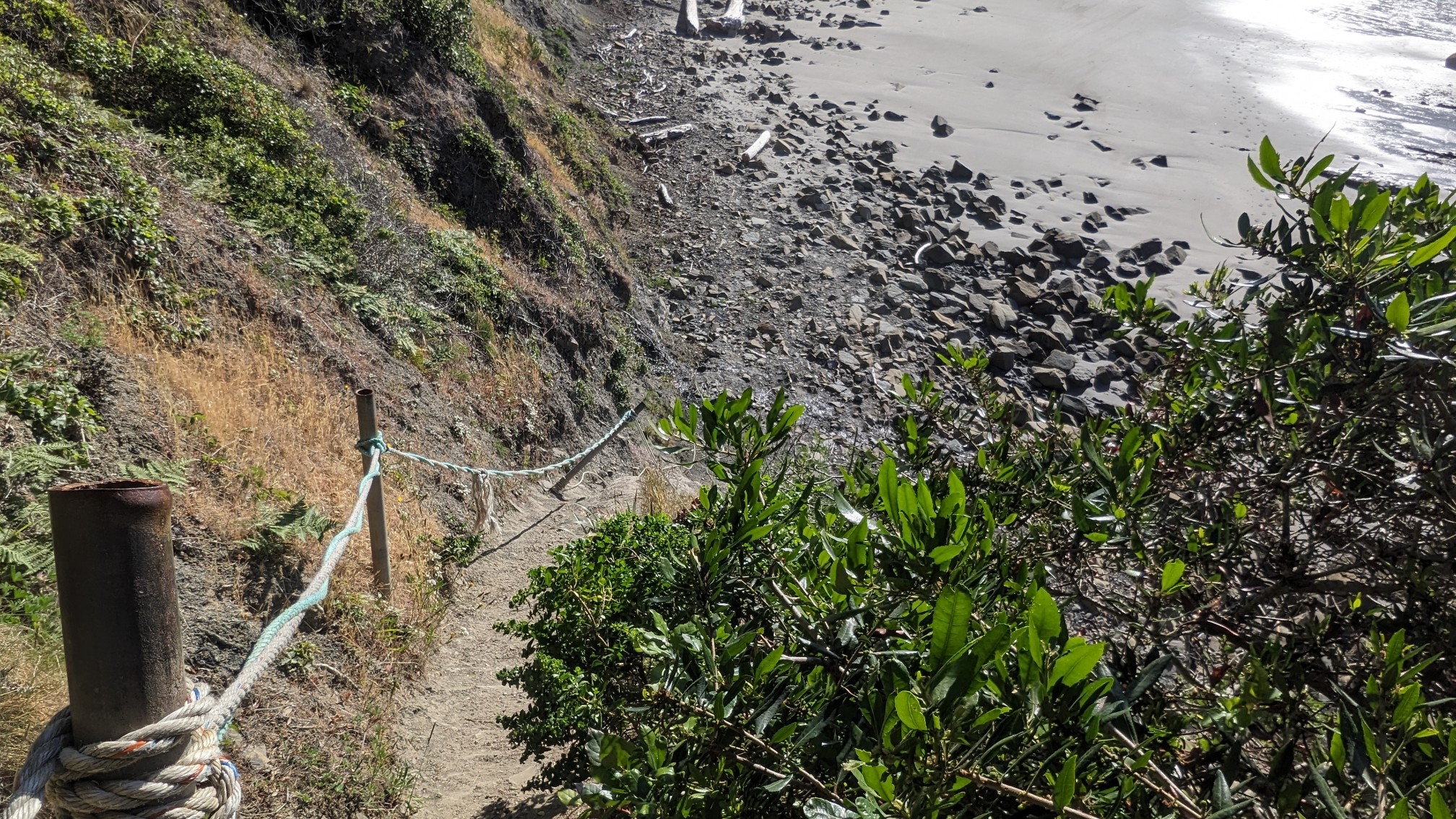
And there was a steep drop down to the beach, using these ropes as hand lines.
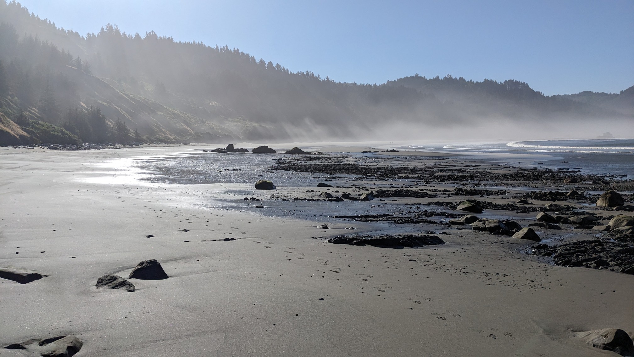
Because it was still quite early in the morning, the beach was full of fog and mist.
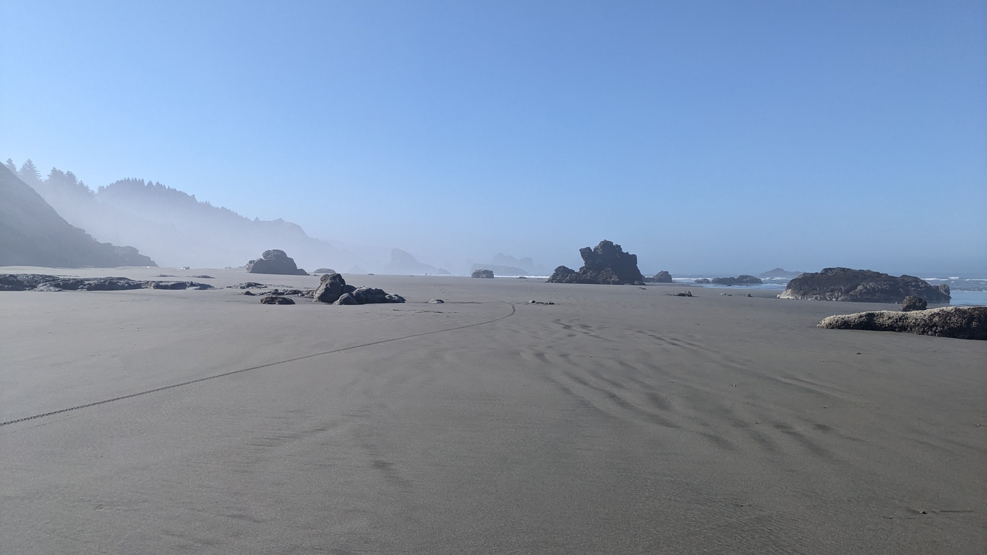
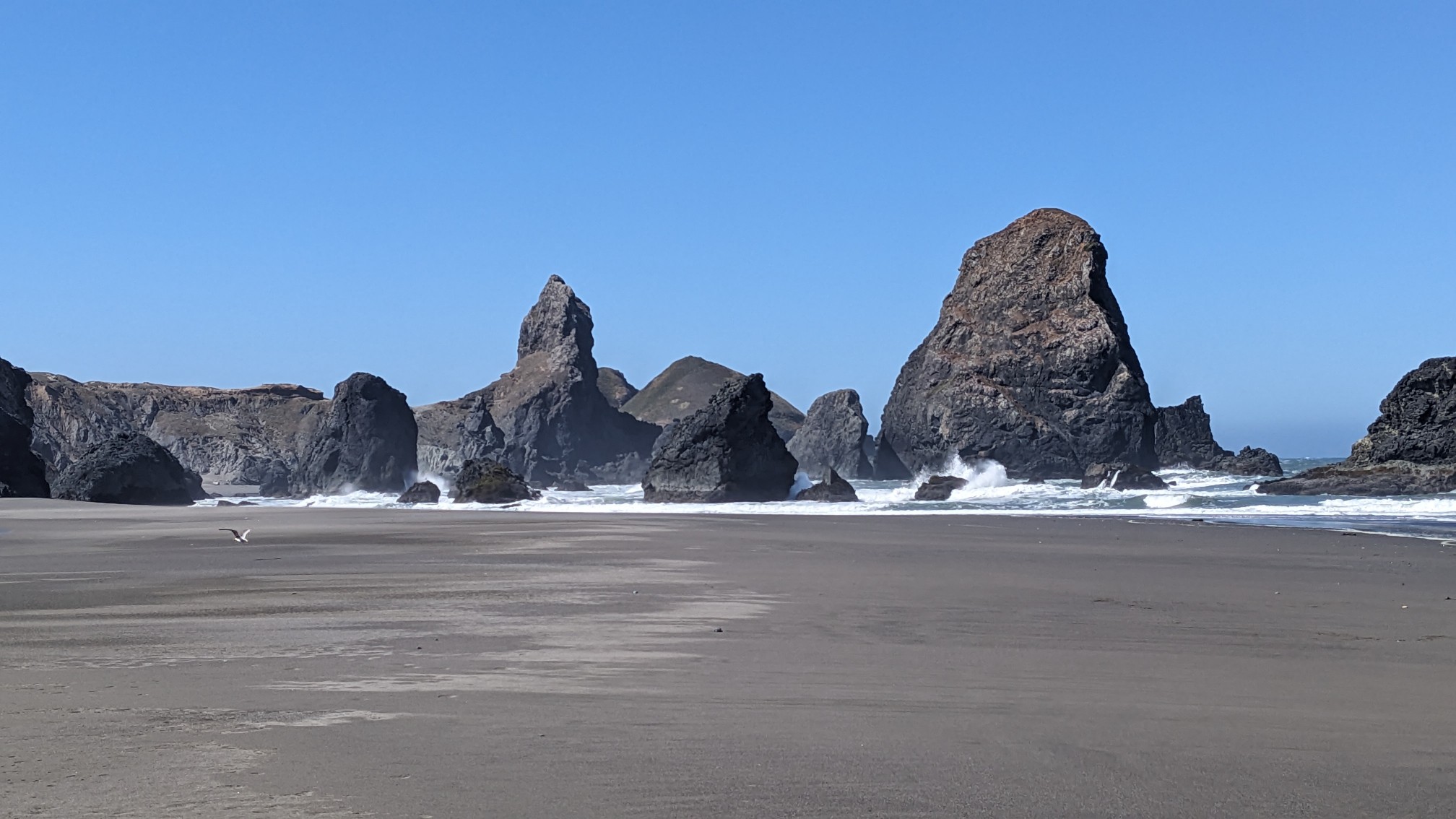
And of course there were some nice huge rocks and crashing waves nearby.
I left the beach on another one of those cool access trails through the dense seaside vegetation.
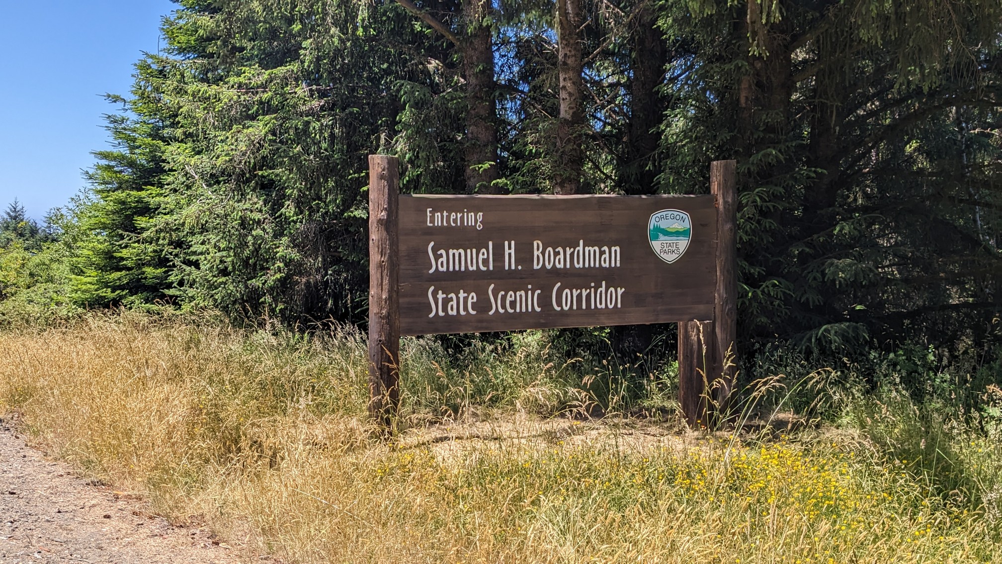
I hiked the highway for a very short bit, and then I entered the Samuel Boardman Scenic Corridor.
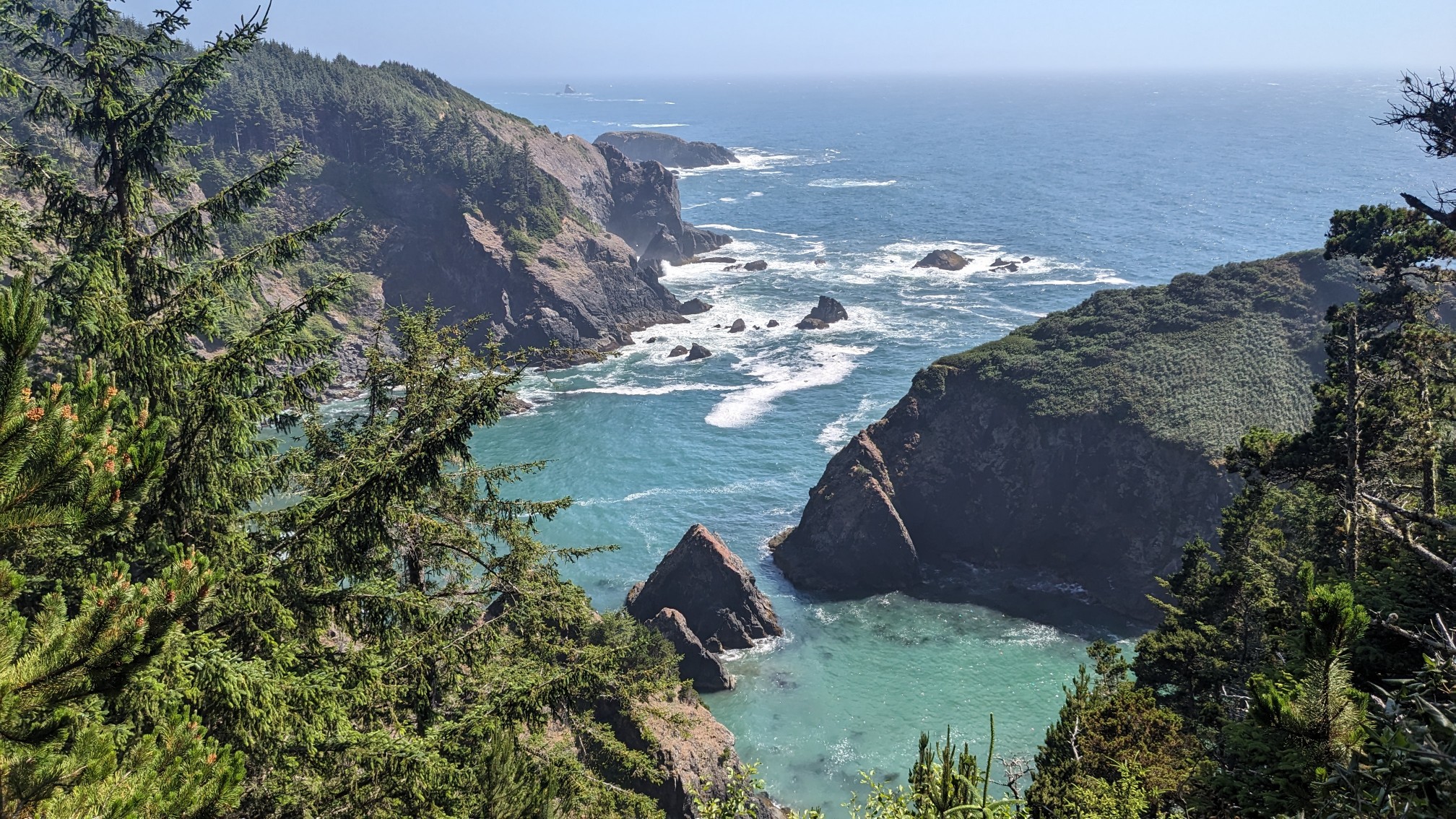
This is the part of the Oregon coast that inspired the creation of this trail. It was super scenic.
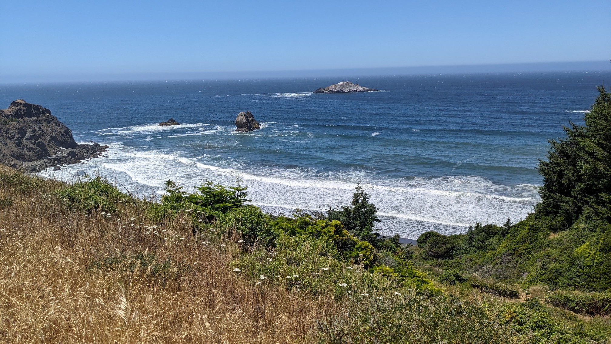
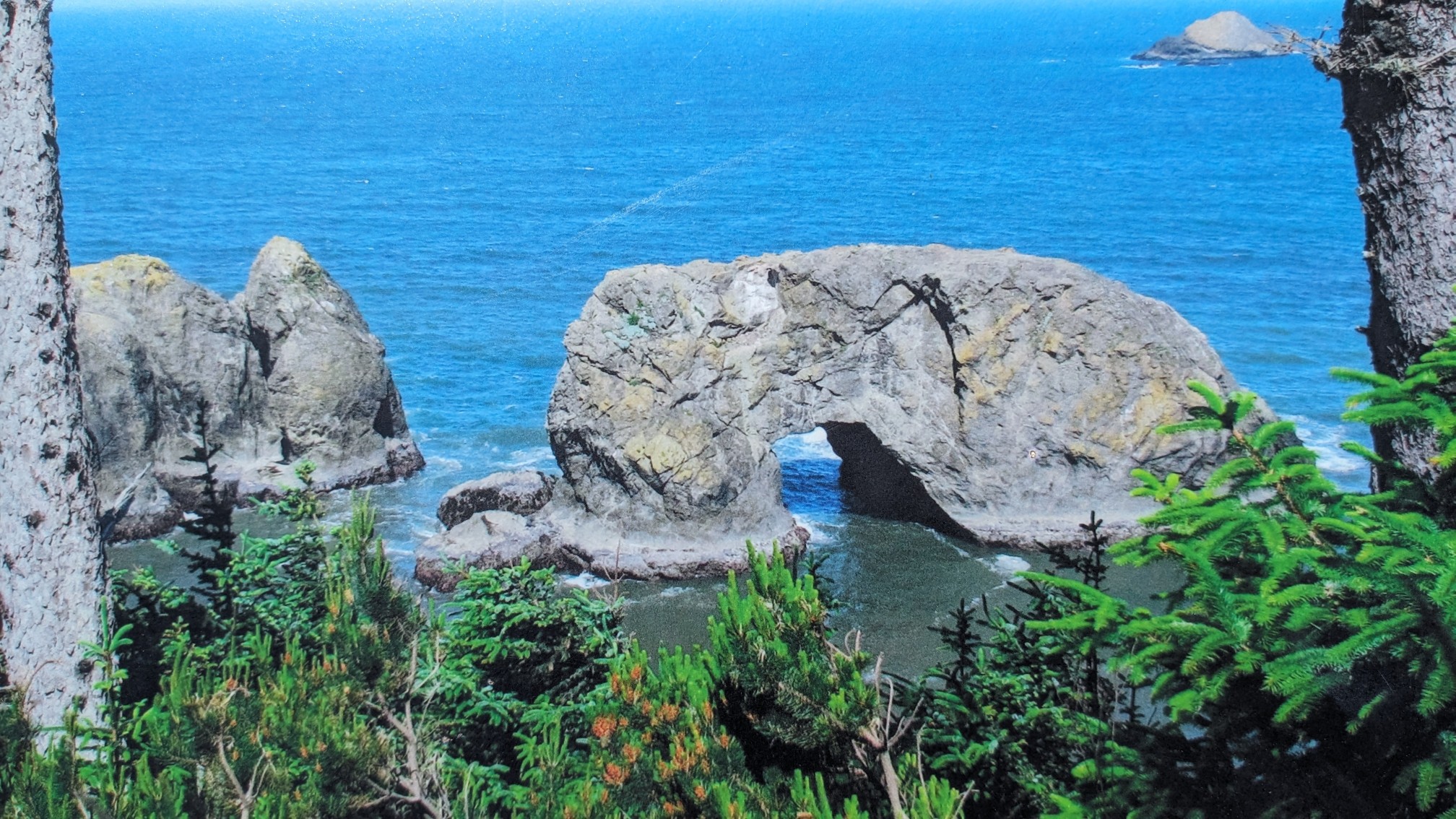
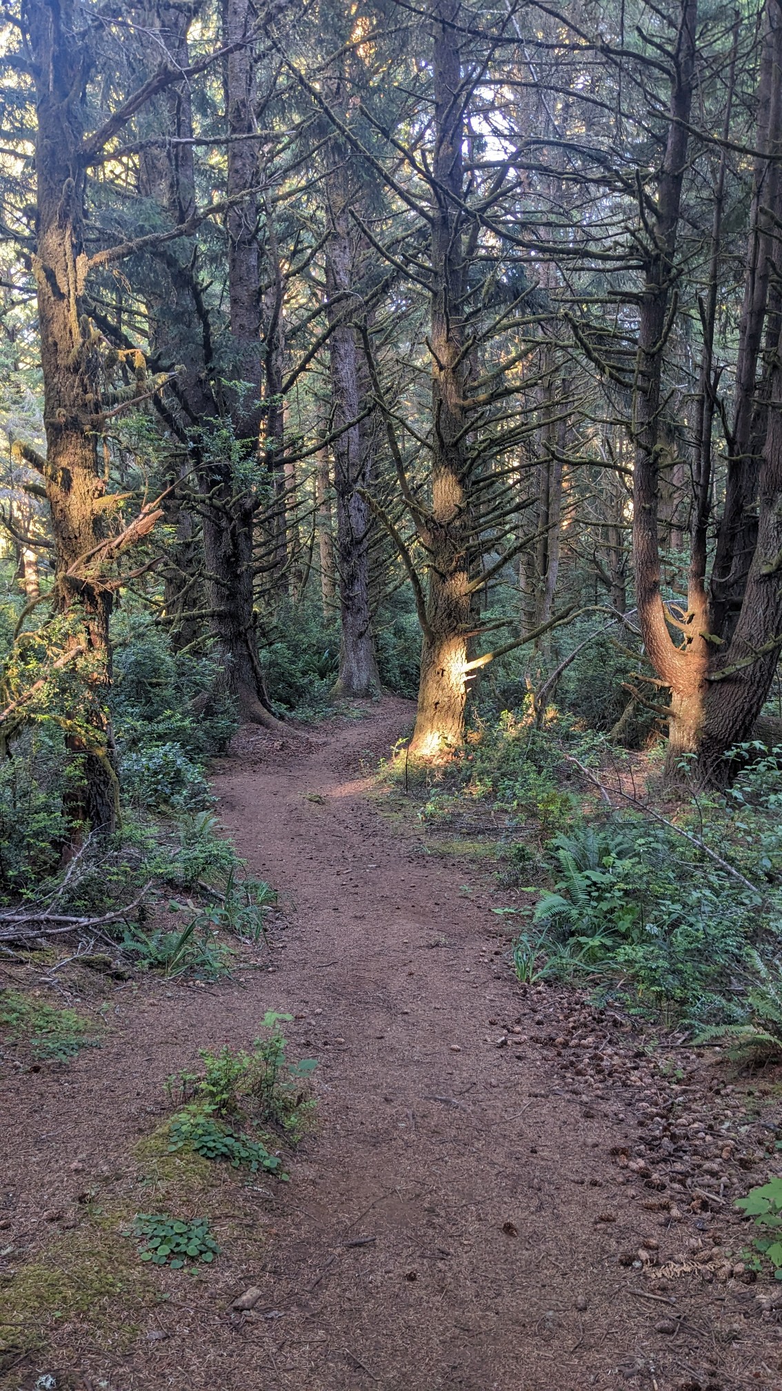
For the rest of the day I was in the scenic corridor, mostly hiking on trails.
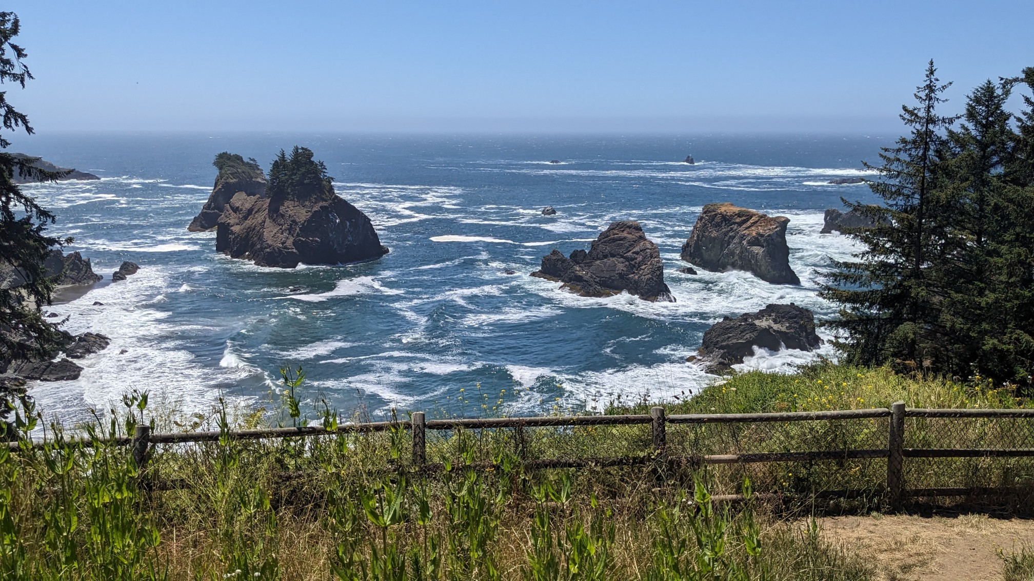
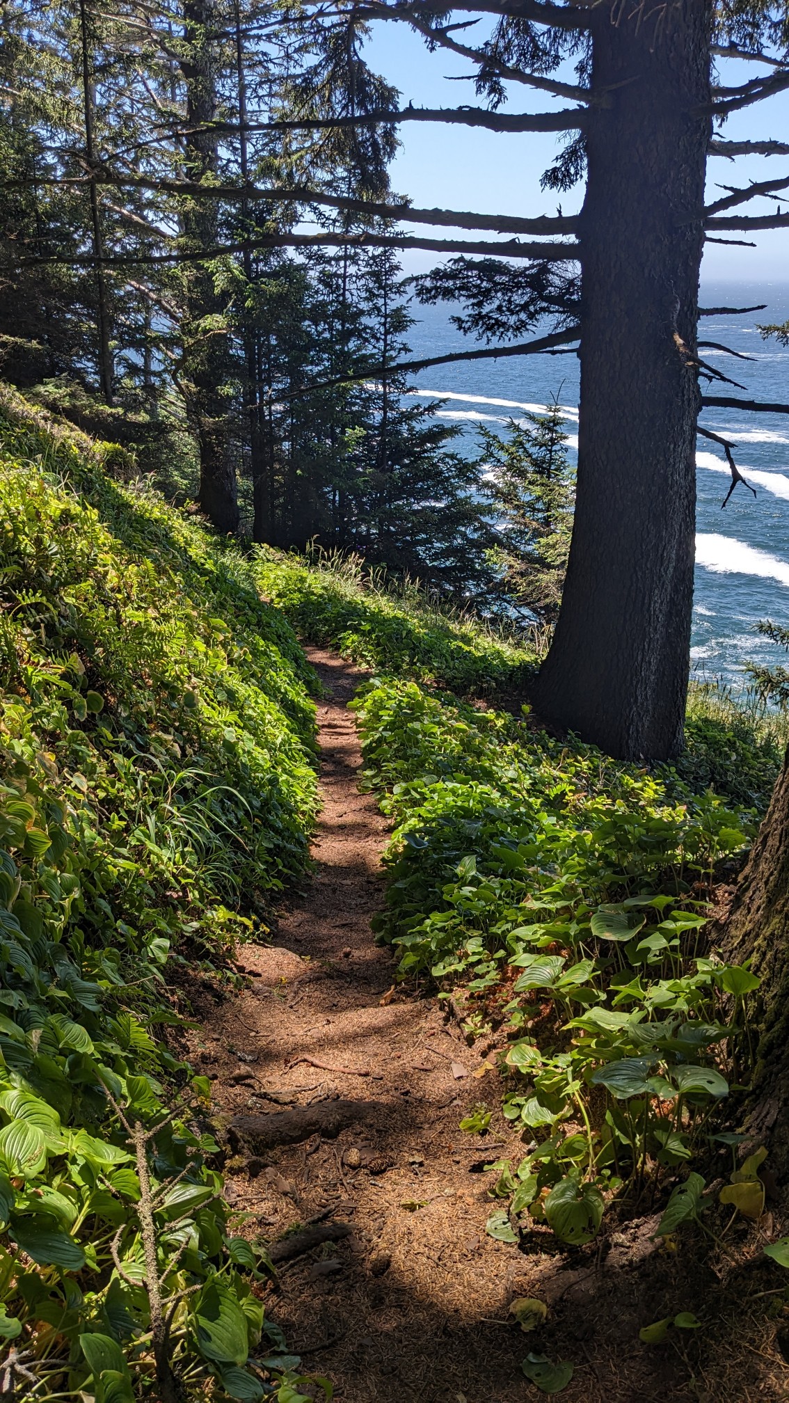
Occasionally there would be a tiny little pocket beach, but the trail did not venture down to those areas.
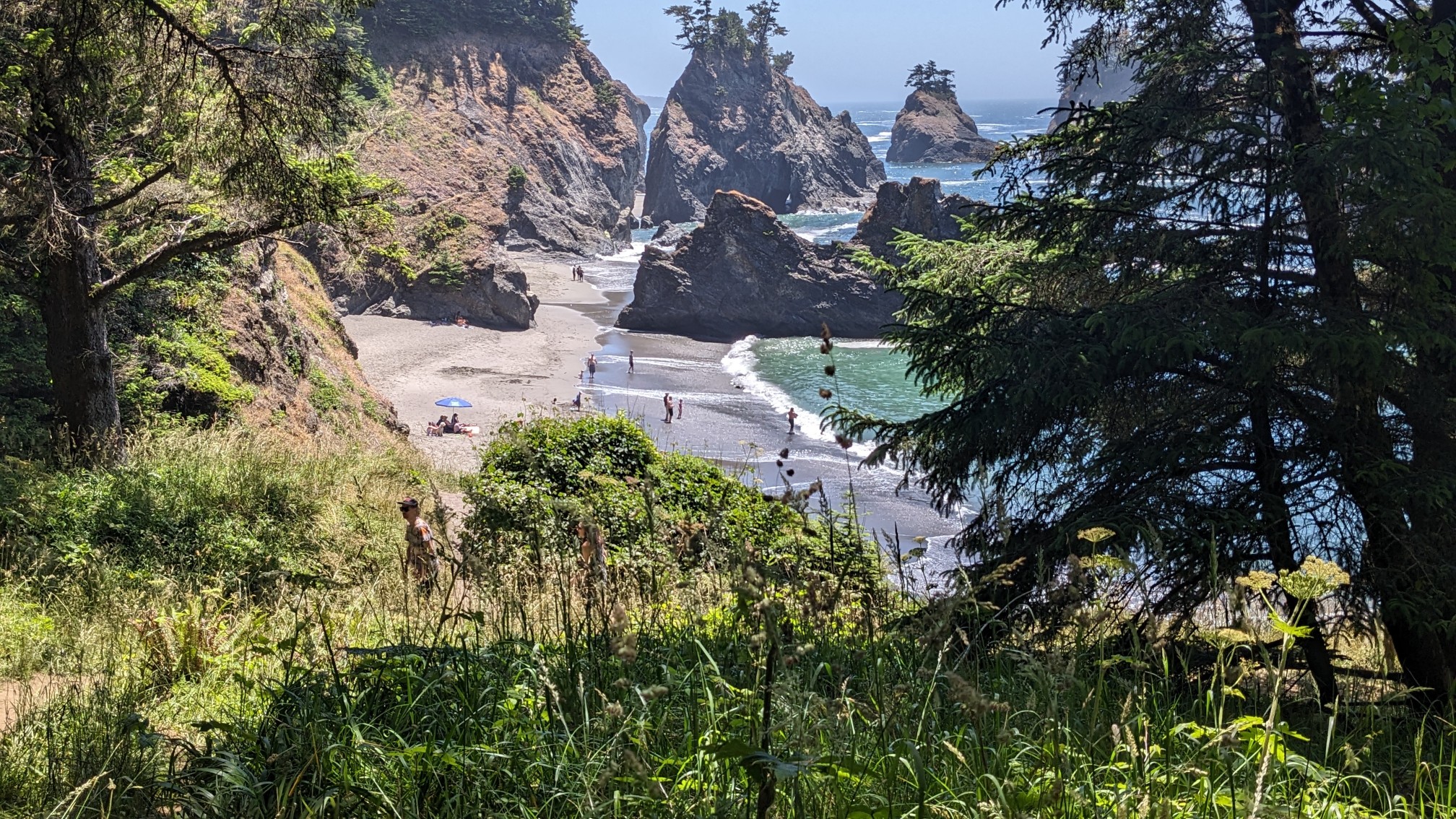
When I got to Natural Bridges viewpoint, there were heaps of people milling around.
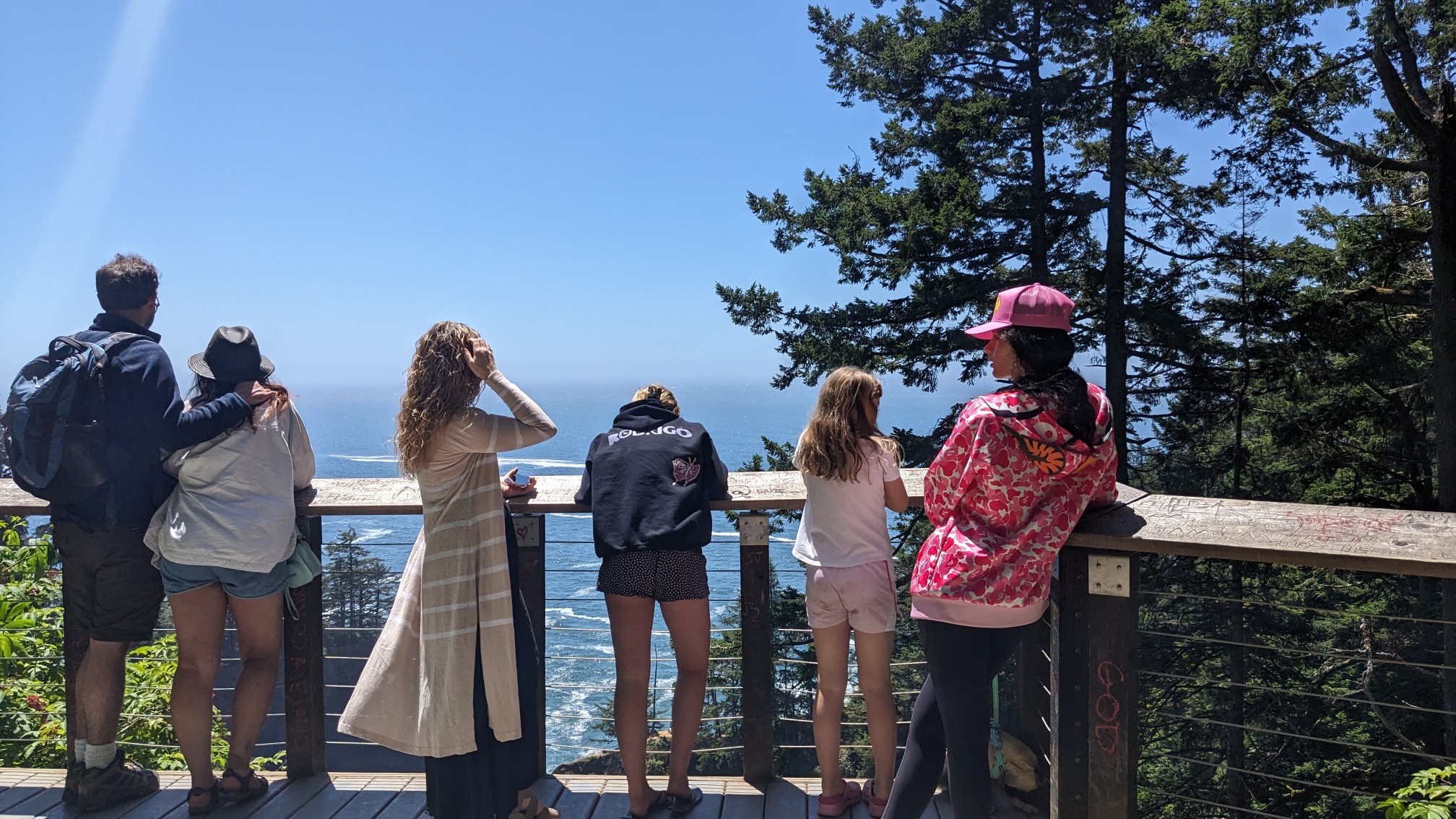
Including one person I knew, and had met a month earlier in the Grand Canyon!
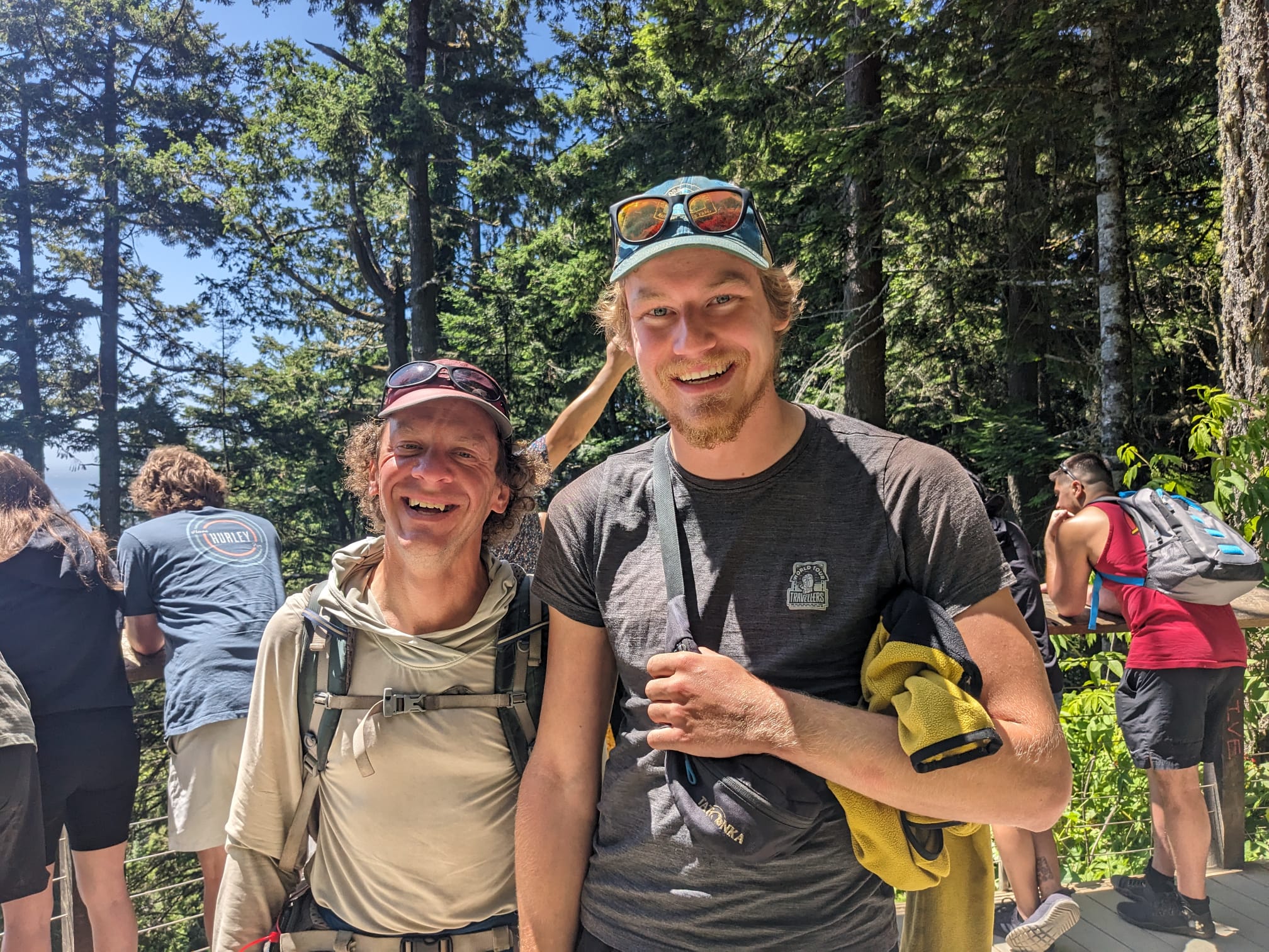
Chaos (his trail name) is from Germany and I had a fun time catching up with him and his family. I hiked on, passing by another arched rock formation.
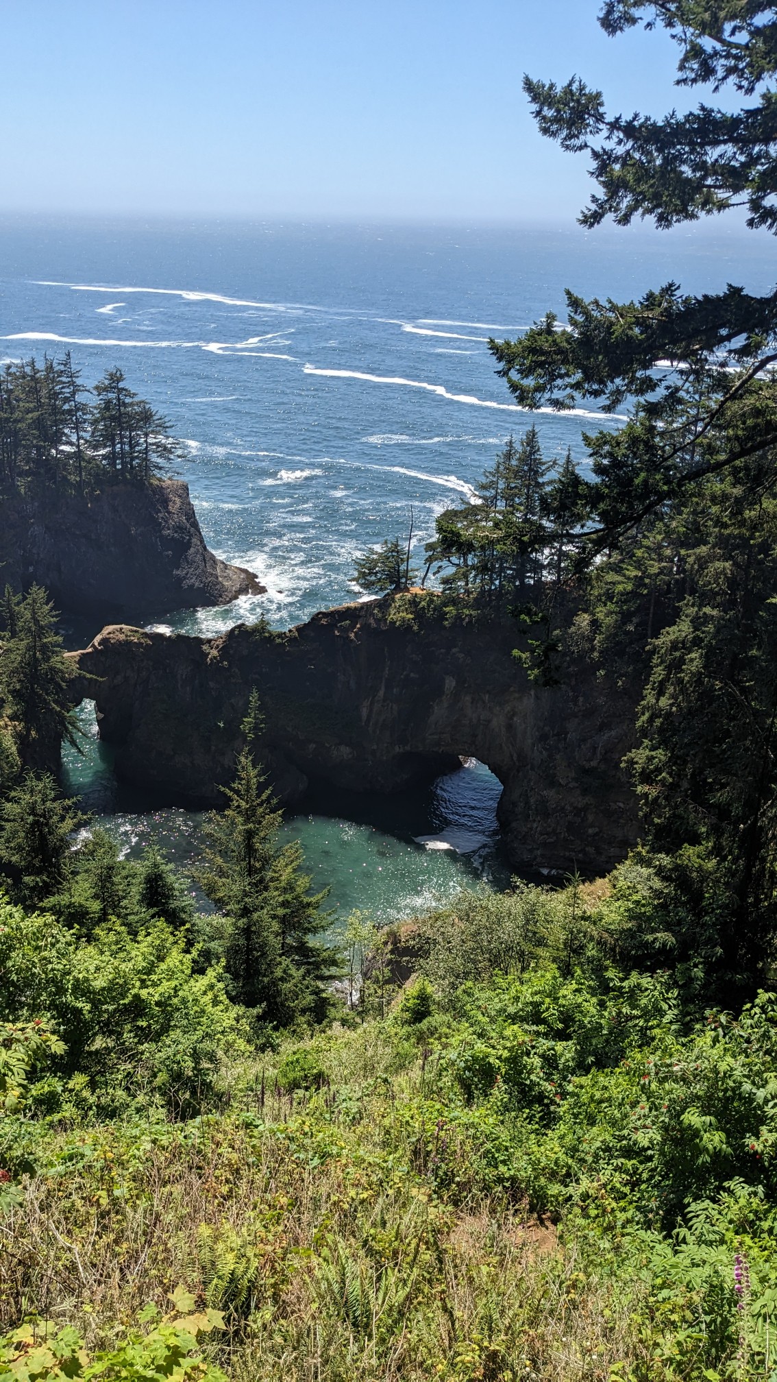
And more absolutely insanely beautiful views.
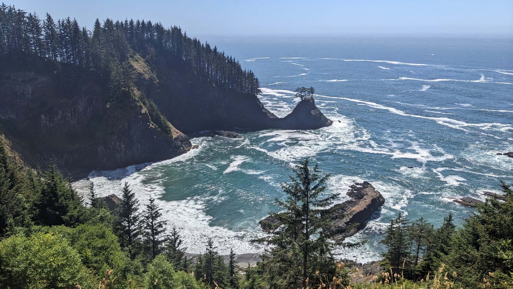
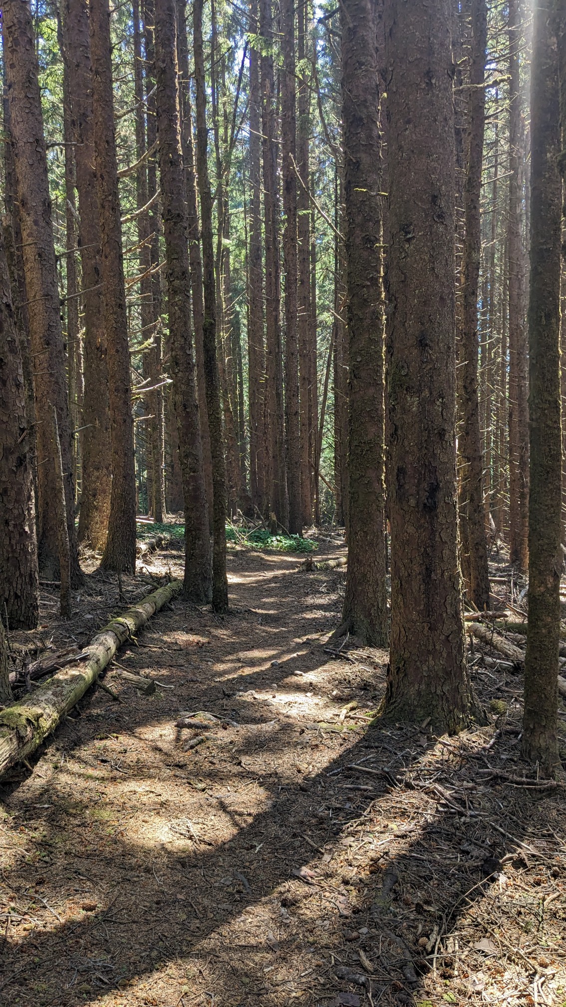
It was nice that they built trails through this entire section, but it was constantly going uphill or downhill, and it was very tiring.
There was one tiny section of walking on the road, where I had to cross the tallest highway bridge in Oregon.
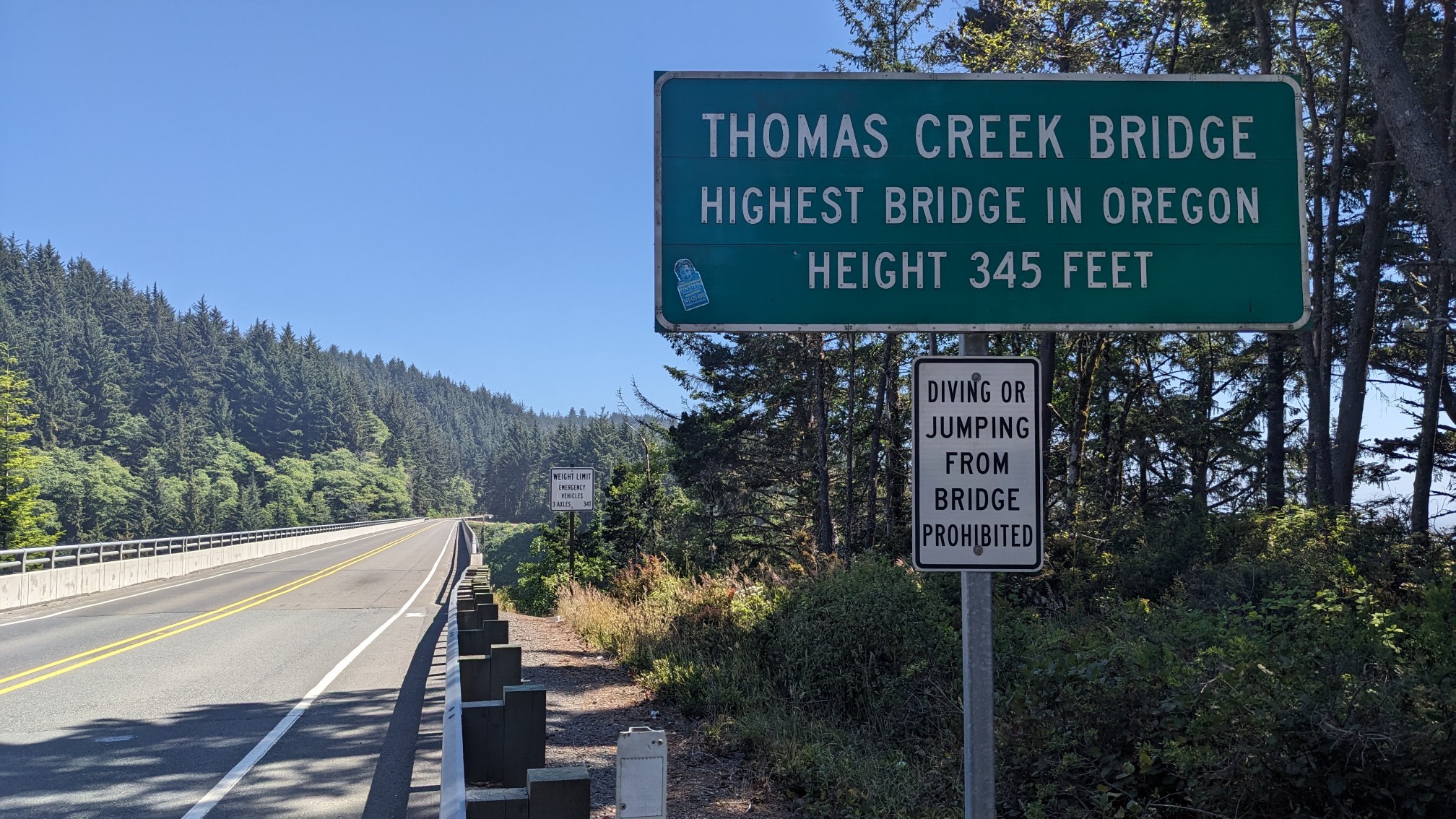
I thought it was strange that they had to post a sign that prohibited jumping from the bridge…it’s 345 feet down the water! Death. At the other end of the bridge I turned into the forest, and followed the constantly undulating trail past some more amazing views.
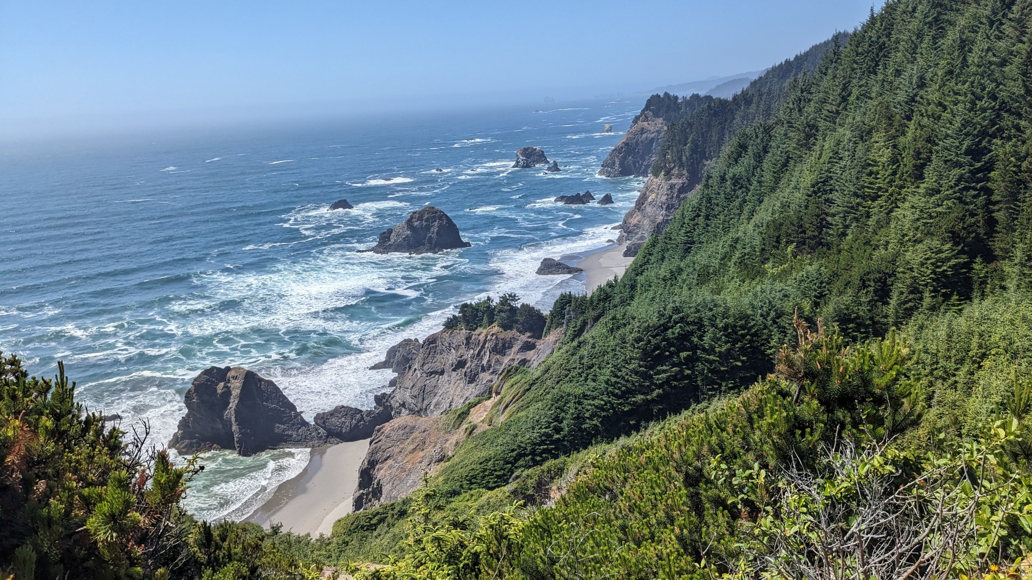
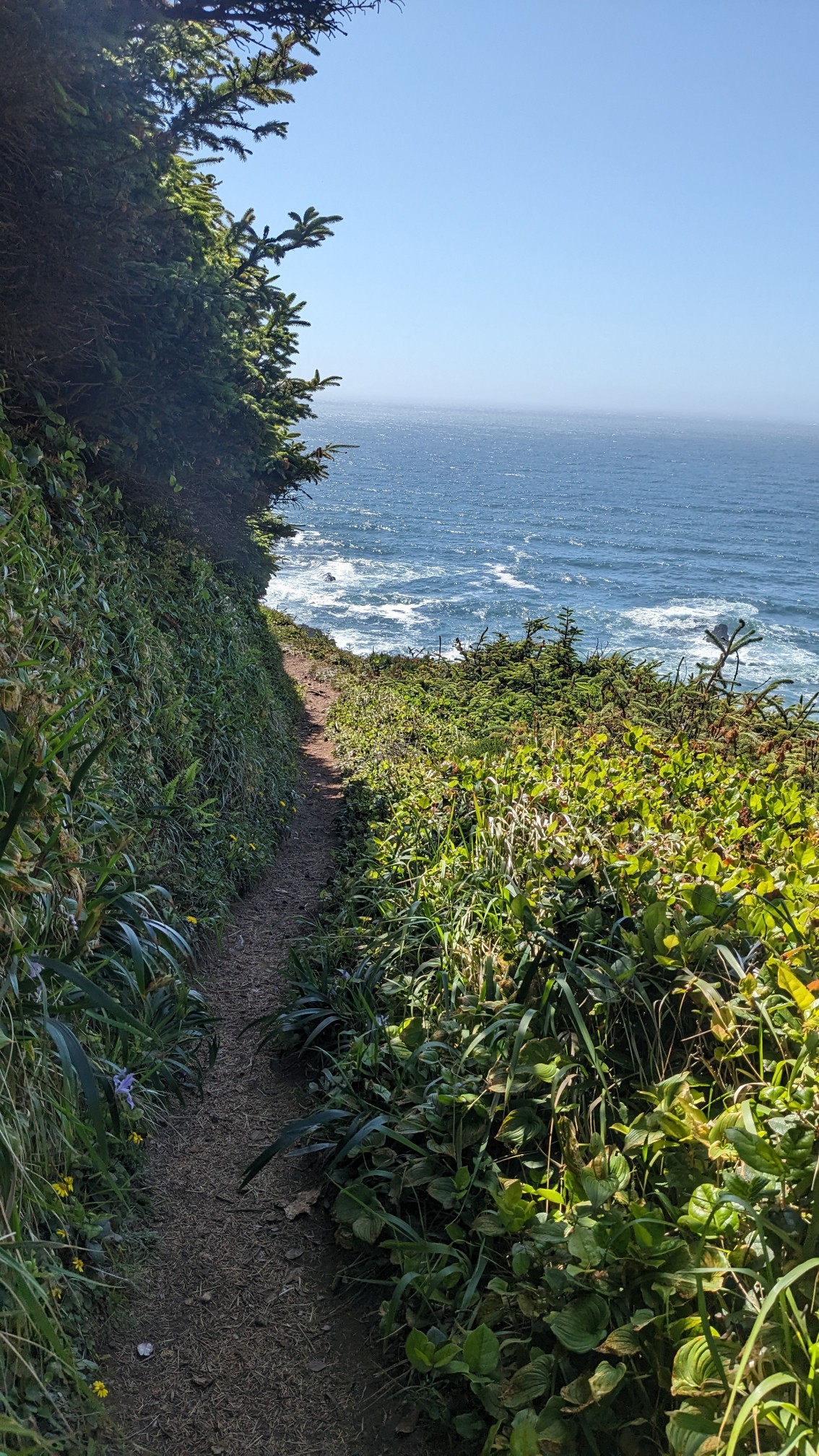
I hiked through one little area called Indian Dunes, which was formed from sandstone.
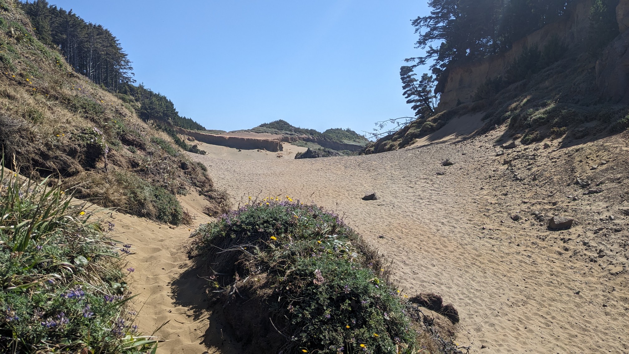
It was exhausting to hike to the top of, but the view was worth it.
After a little more forest hiking, I dropped down to Whaleshead Beach.
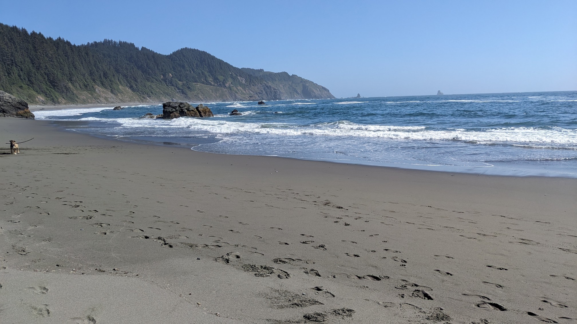
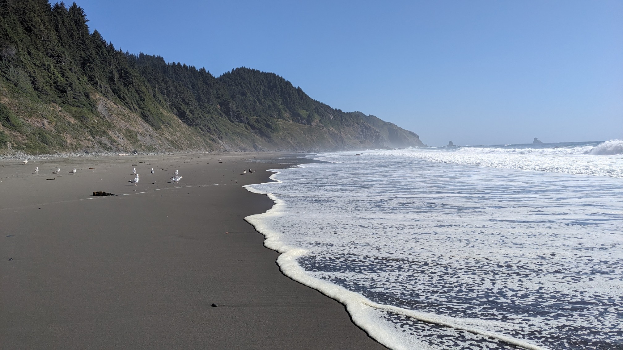
It was a very short beach, maybe only a mile long, and there were almost no people on it.
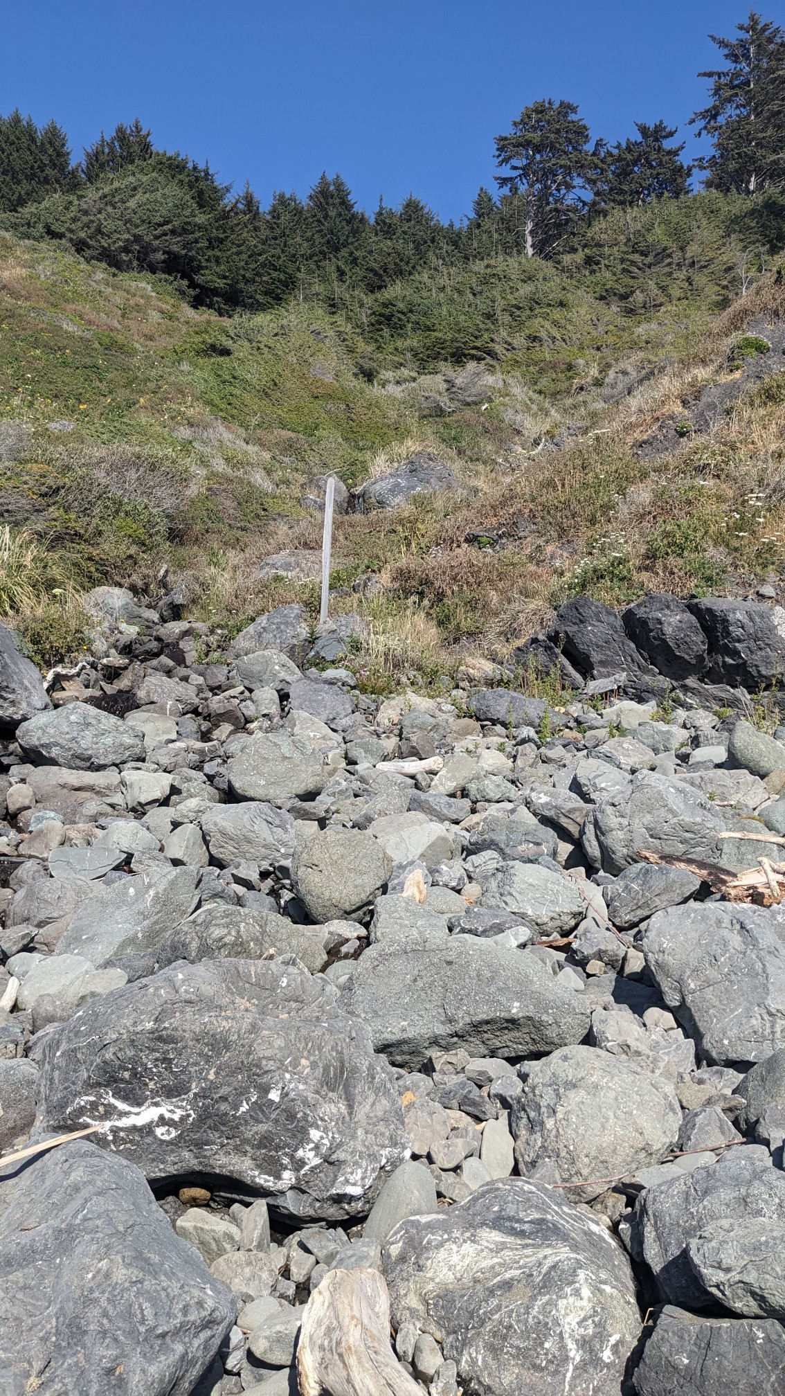
The trail to exit the beach had eroded away, and the first bit was a steep scramble.
After a mile of climbing up into the forest, I emerged at the Cape Ferrelo viewpoint.
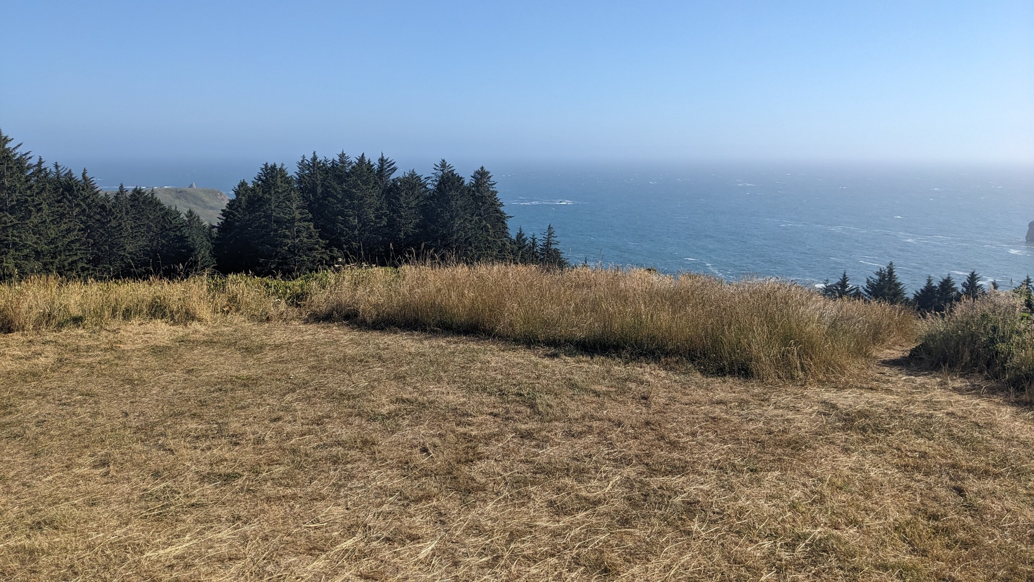
I could see my final beach of the day, Lone Ranch Beach.
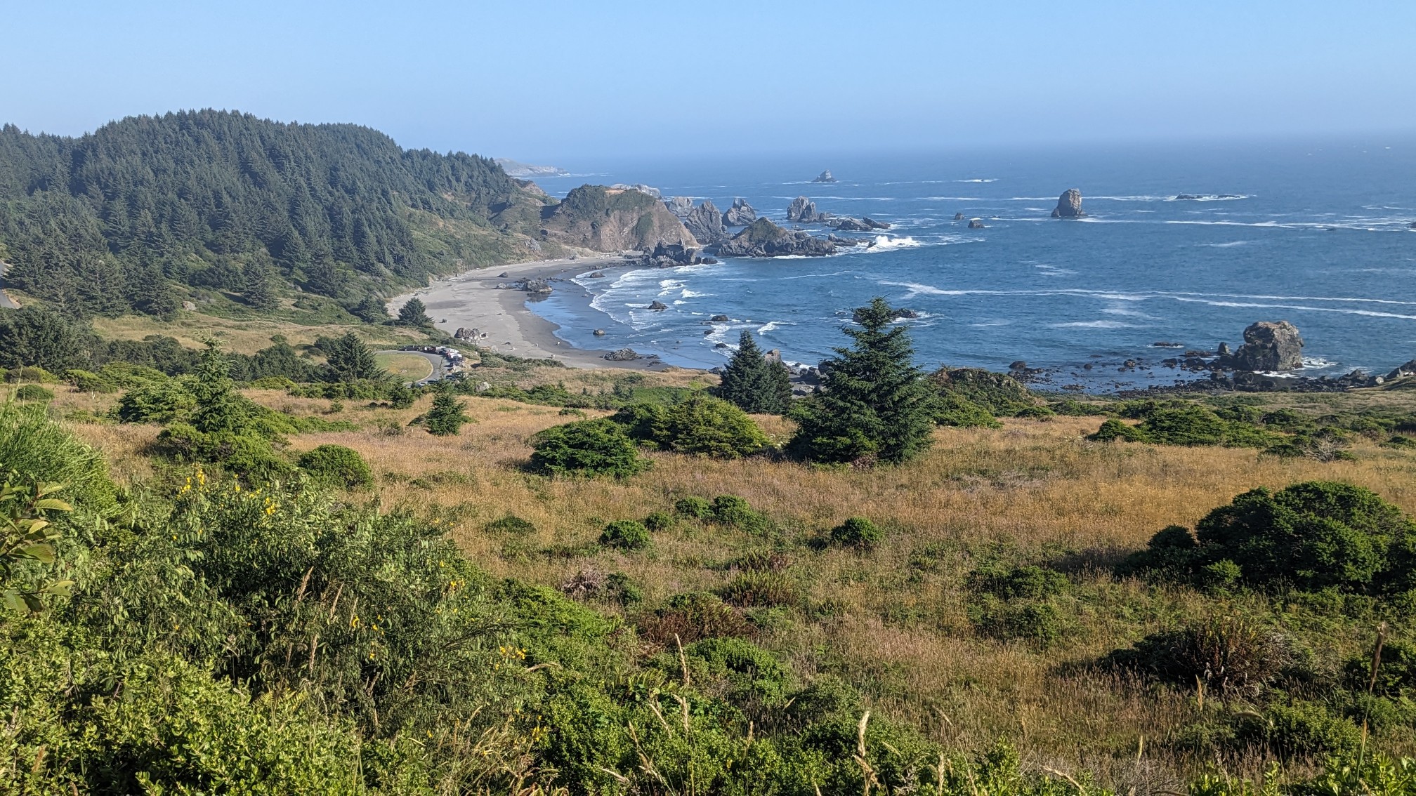
There were tons of people on that beach, so I could tell I was getting close to town. It was less than a mile long, and pretty soon I was hiking uphill back into the forest. So many ups and downs!
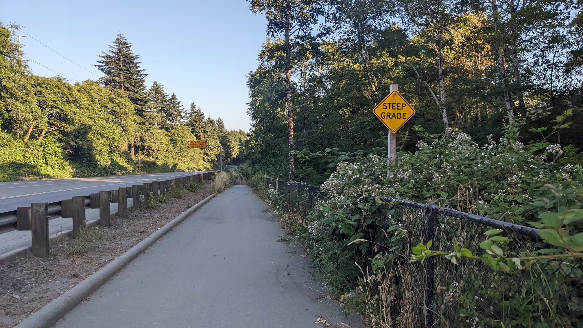
The last mile of the day was on a nice bike path that paralleled highway 101.
I was relieved to get to Harris Beach State Park, it was a very tiring day of constantly hiking up and down. As usual, they had a campsite for the hiker/biker people.
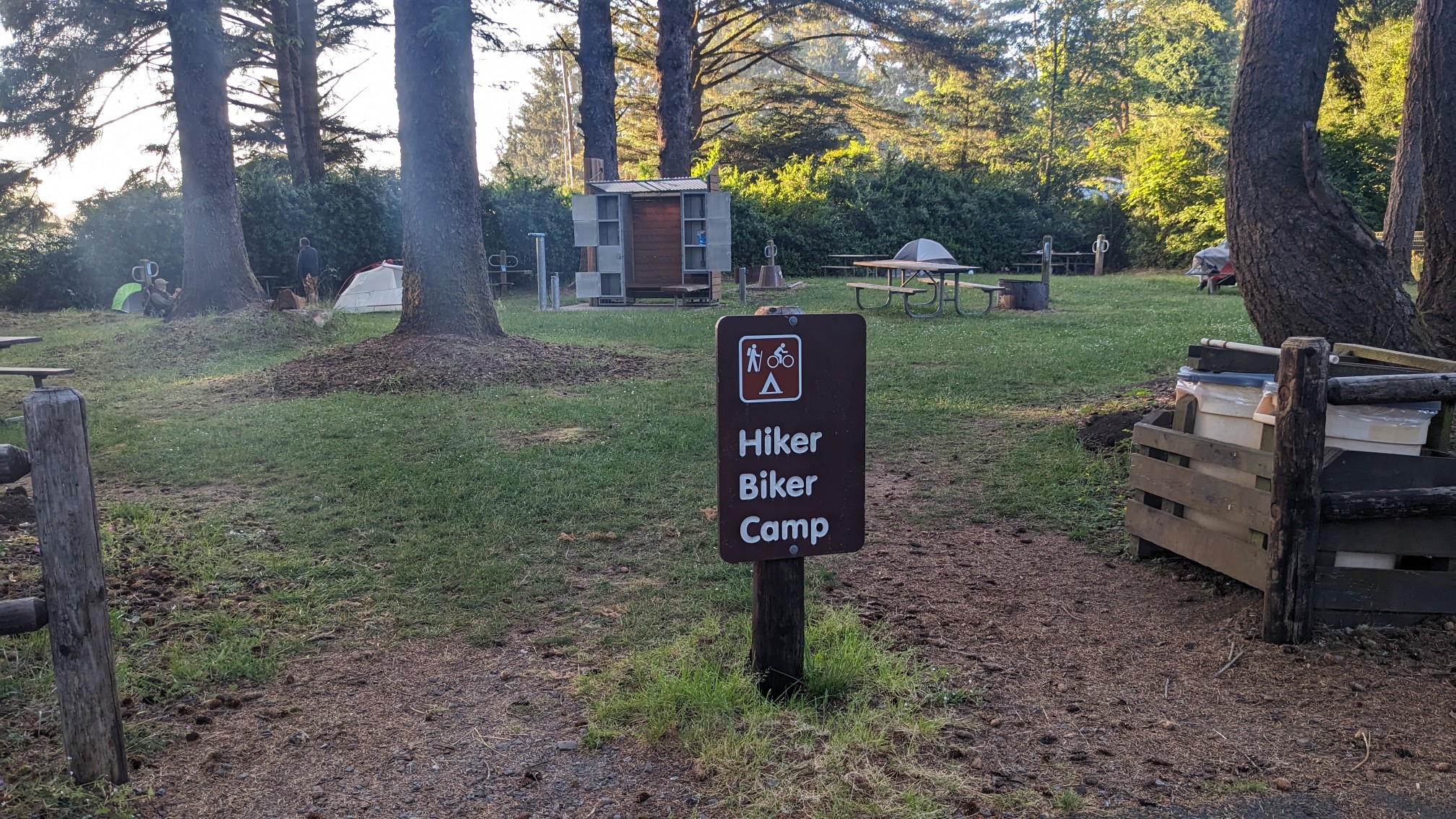
I set up my tent, took a shower, and then came back and moved my tent….I realized I had set up next to a homeless woman, who was shouting randomly every 30 minutes. That’s a first!
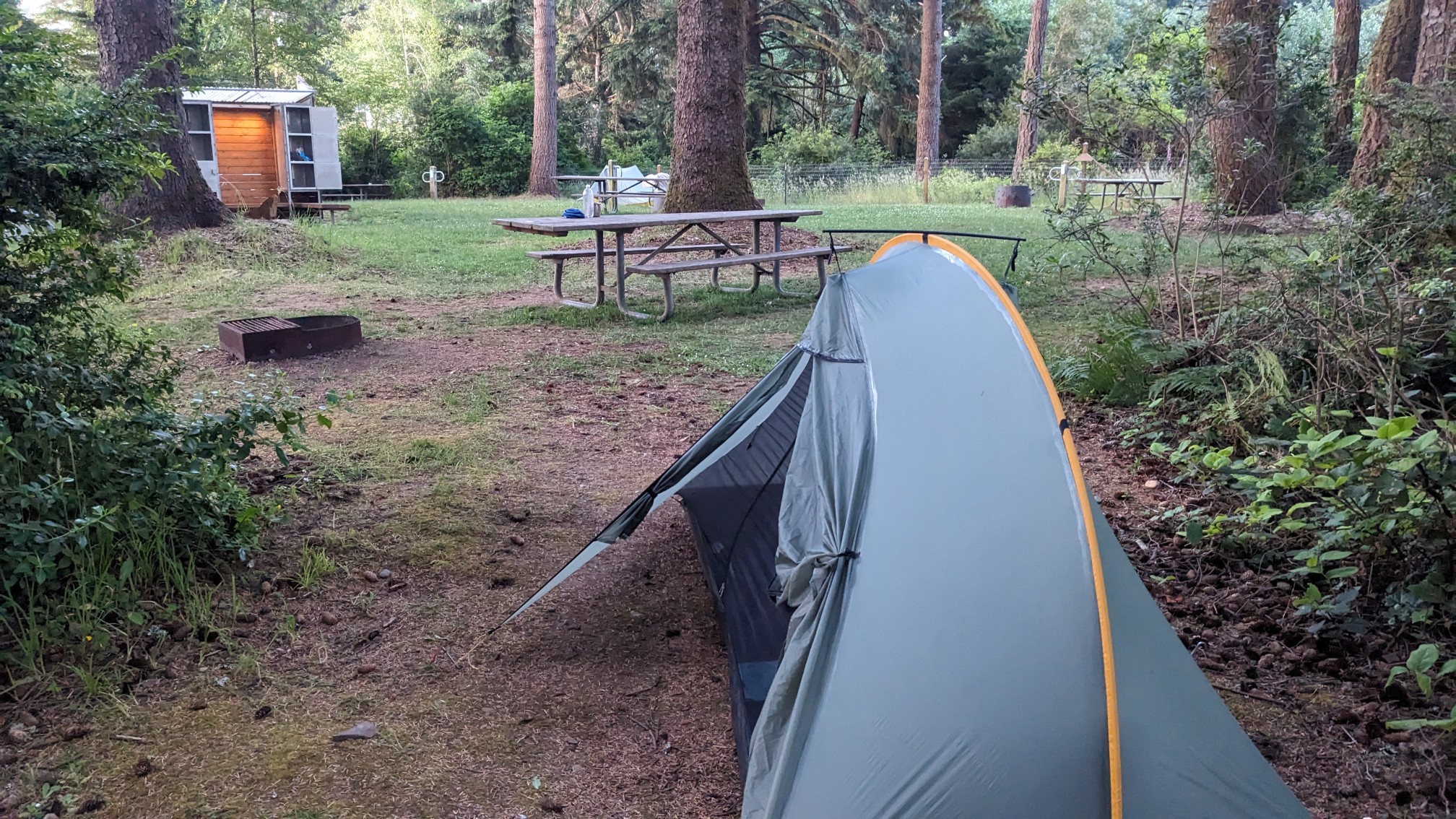
The rest of my final evening on this trail was uneventful, and I slept pretty good despite that woman shouting through the night. Tomorrow is just a couple hours of roadwalking to get to the southern terminus and the finish!