Friday July 21, 28.8km/17.9mi
Cabane d’Ardané (146.3km/1310m) (France) to Cabanes Anaye (171.9km/1530m) (France) +0.8km to cabin, +1.2km backtrack
We left the cabin at 8am and the daily pattern of fog continued.
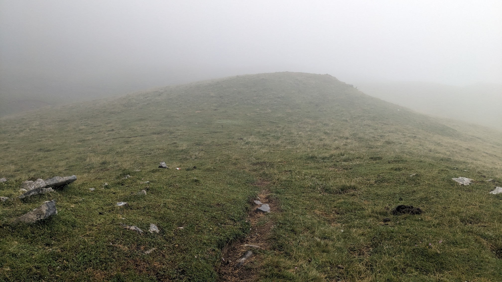
We were up on a ridge all morning, and it was a little windy and kinda cold. When I was hiking I was reasonably warm, but at one point we had to stop and wait for a horse for 5 minutes. It would not leave the trail!
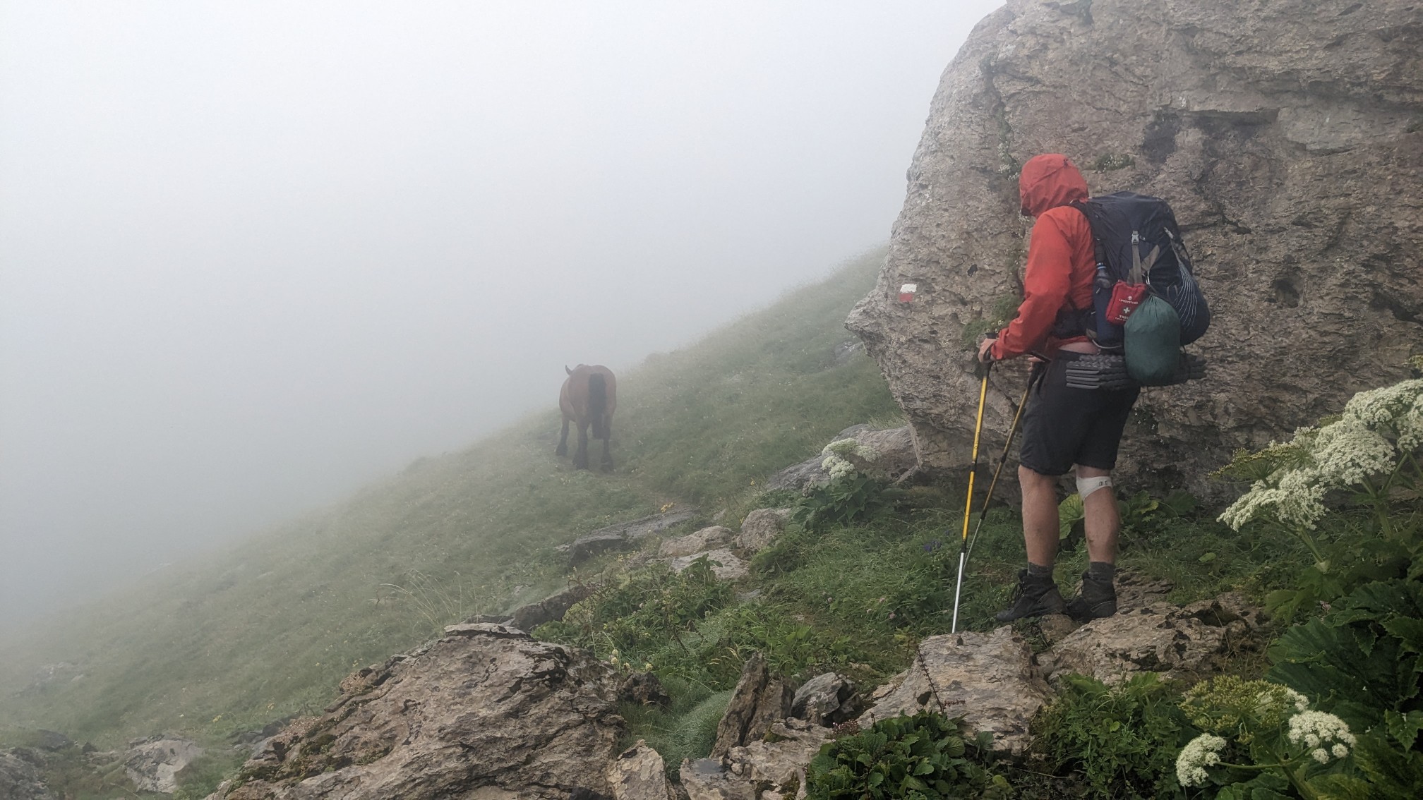
For three hours we hiked a cold windy ridgeline. The wind was blowing the fog and mist so hard we even got a little wet.
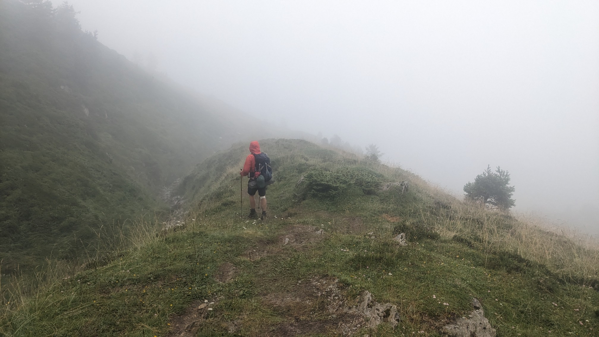
Finally, just before noon, the fog started to lift.
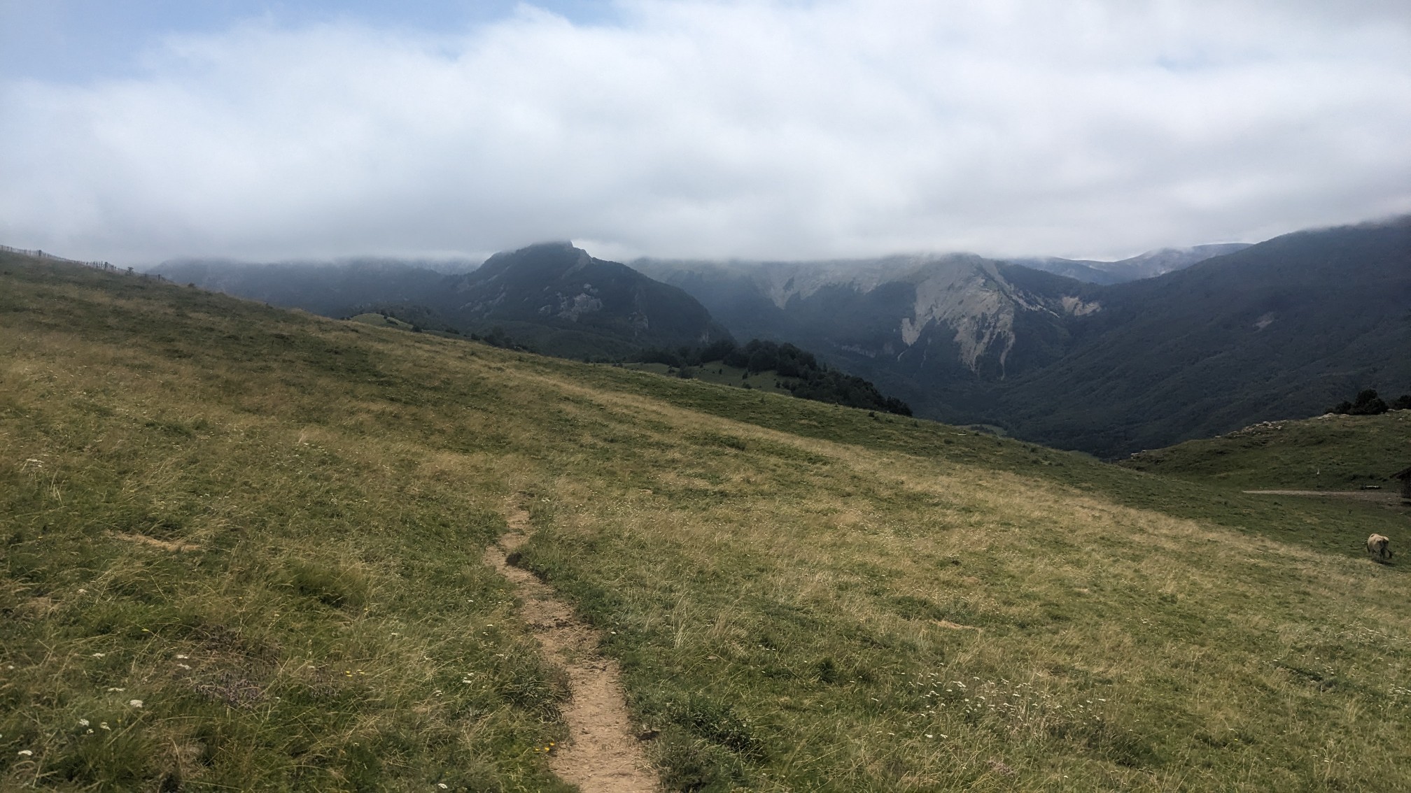
We stopped for lunch at a warm sunny spot and took a long break. It was a very productive break as I was able to make reservations at a gîte (like a fancy hostel) for tomorrow night in Lescun village, and both of us were able to dry out our tents.
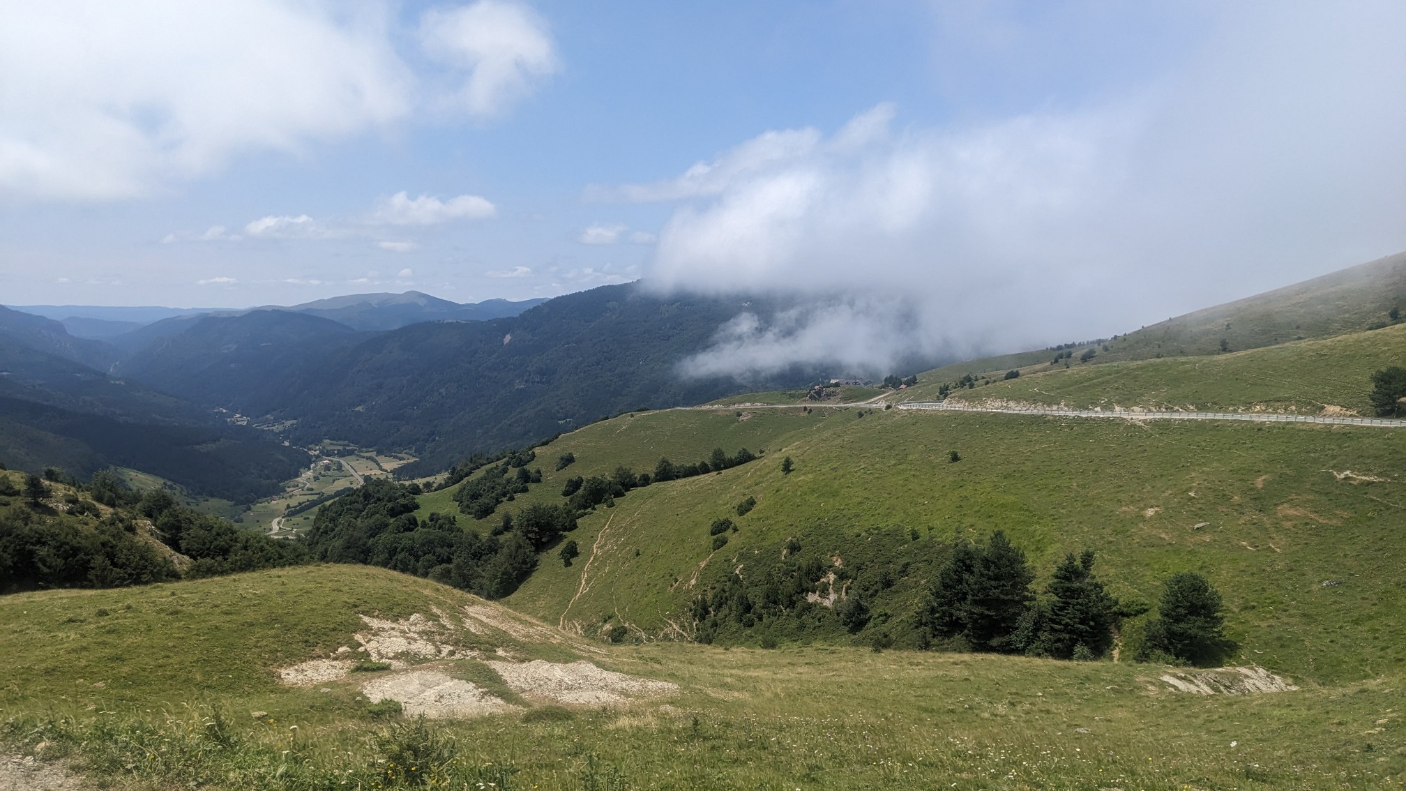
After lunch we hiked by a refuge which had been closed for renovations for years, and had just reopened.
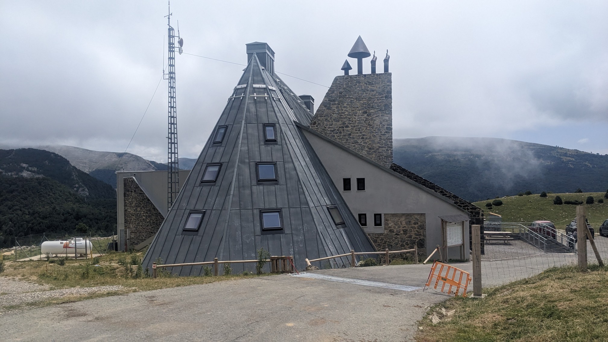
Not needing anything from there, we bypassed it and went straight back to the trail.
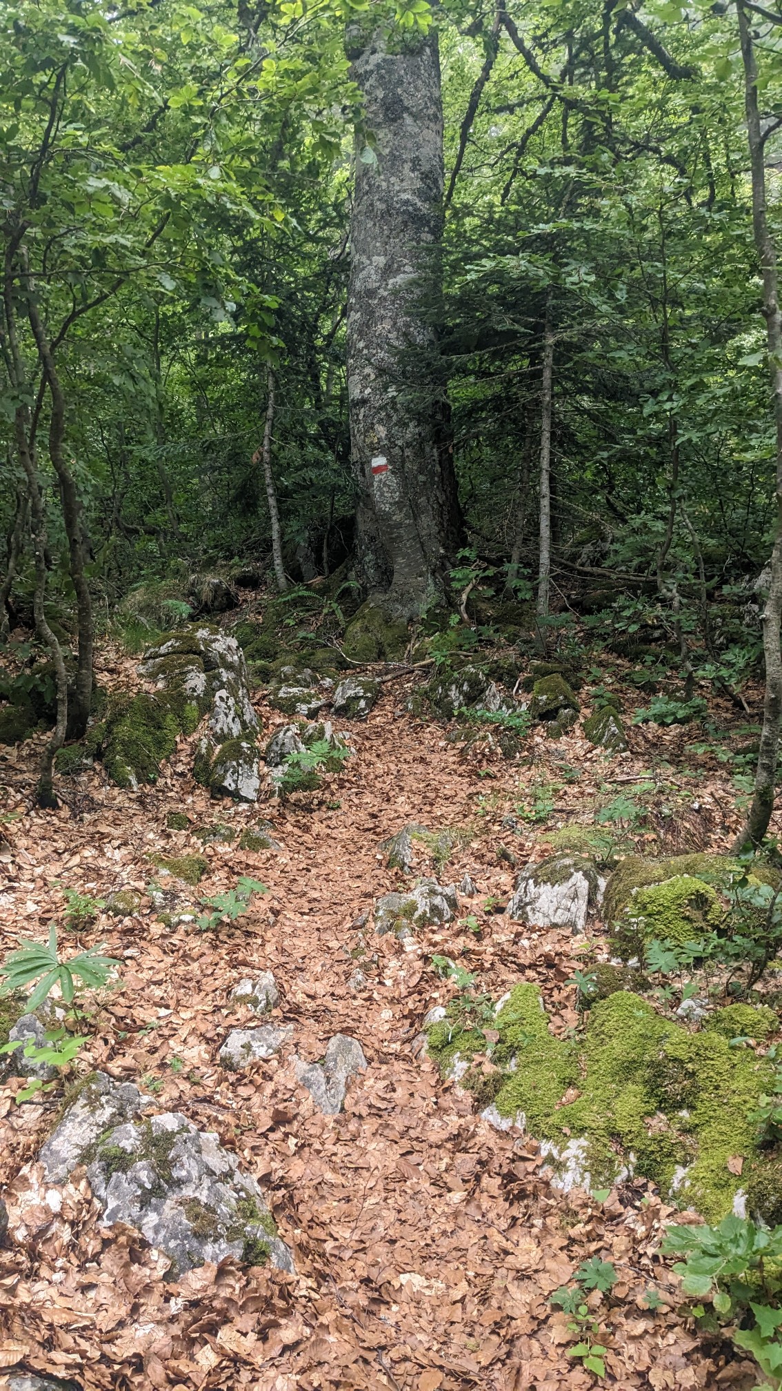
After a little while in a forest, we entered a huge valley full of limestone cliffs and rocks. It was amazing!
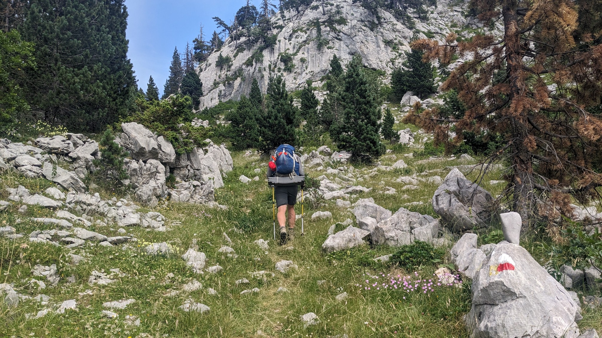
The scenery was simply jaw-dropping, and it reminded me of a smaller version of the Sierra Nevada mountains.
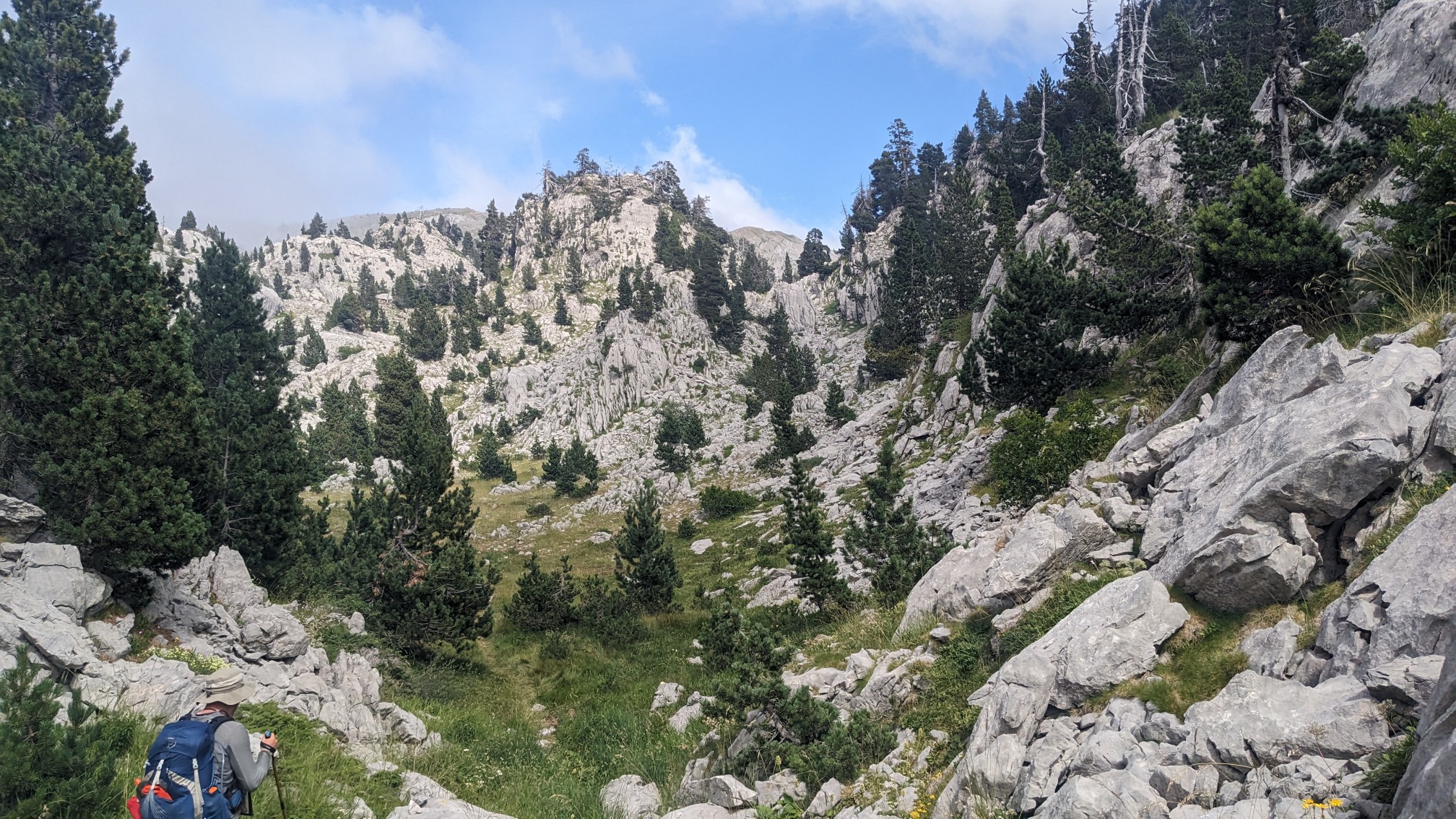
For two hours we walked through a rocky limestone paradise. And in full sunshine!
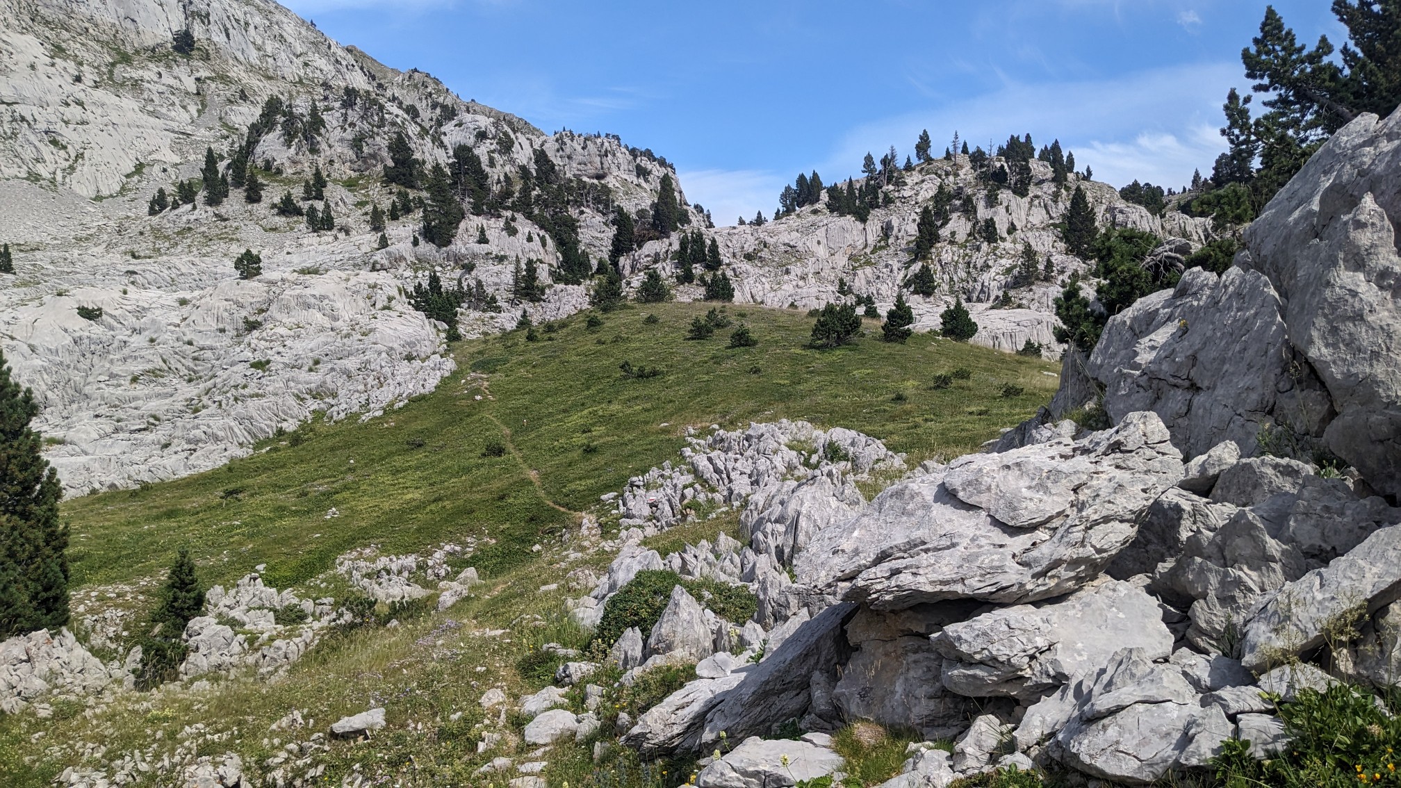
Since we were slowly climbing this valley, eventually we came to the pass. I could see the fog from the French side trying to spill over.
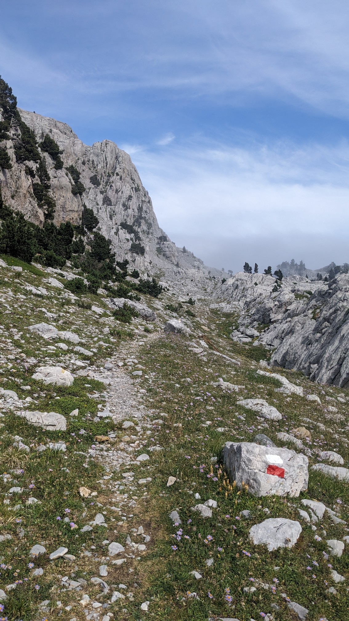
All day the trail was marked with these red and white “paint splashes”. Navigation was easy!
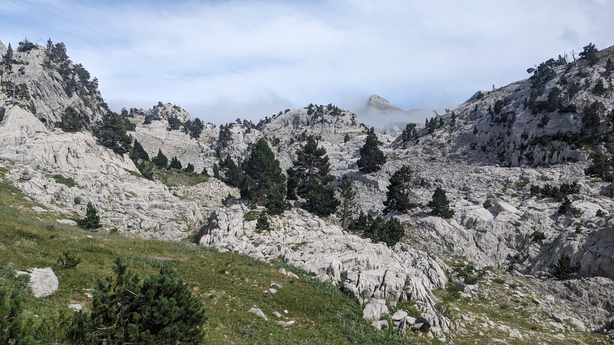
As soon as we crossed over the pass, the fog started to thicken, and the sun was getting harder to see.
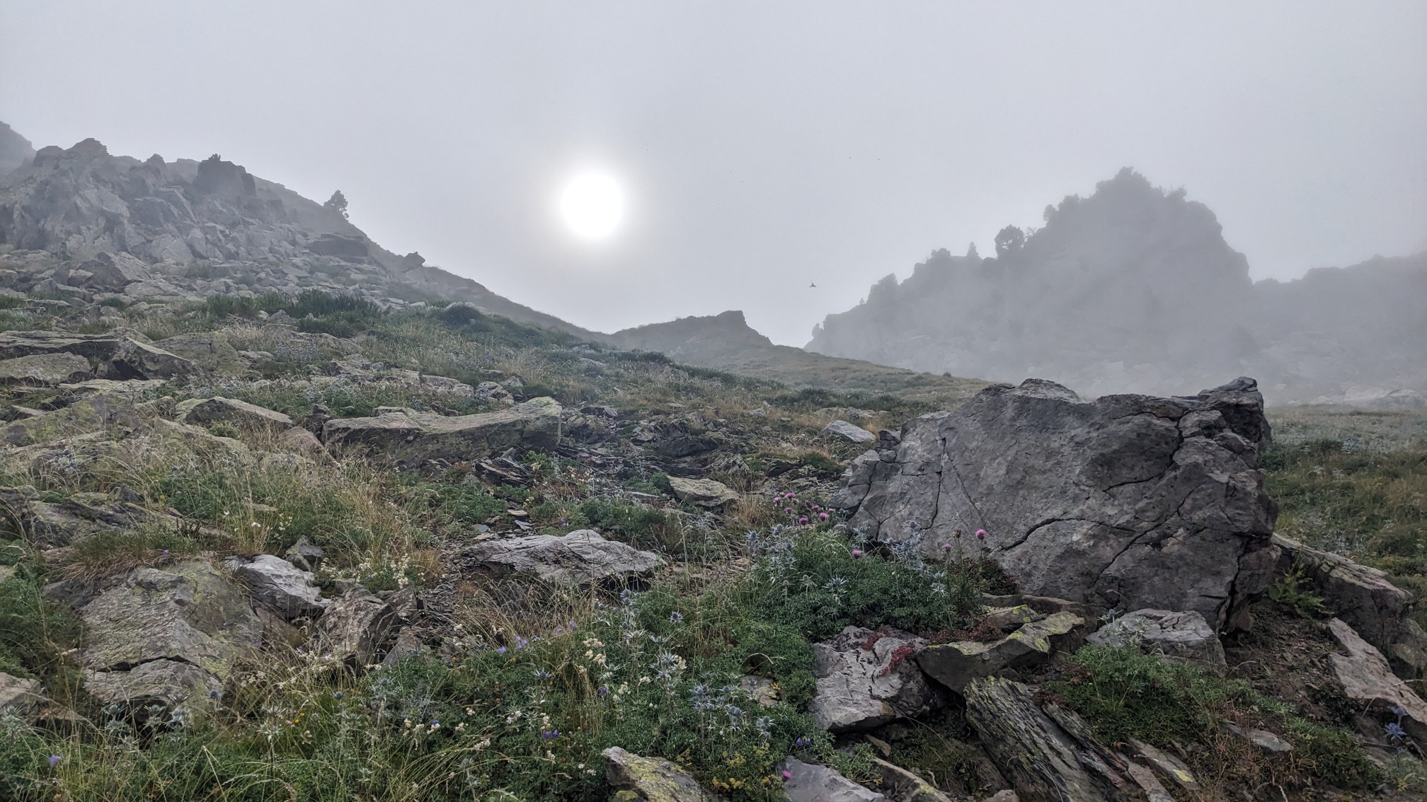
And after a few more minutes of descending into the next valley, the fog was extremely thick.
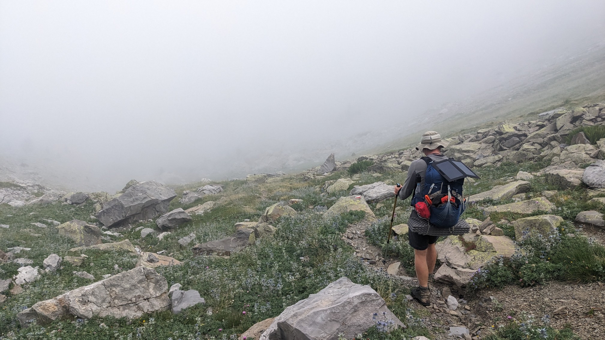
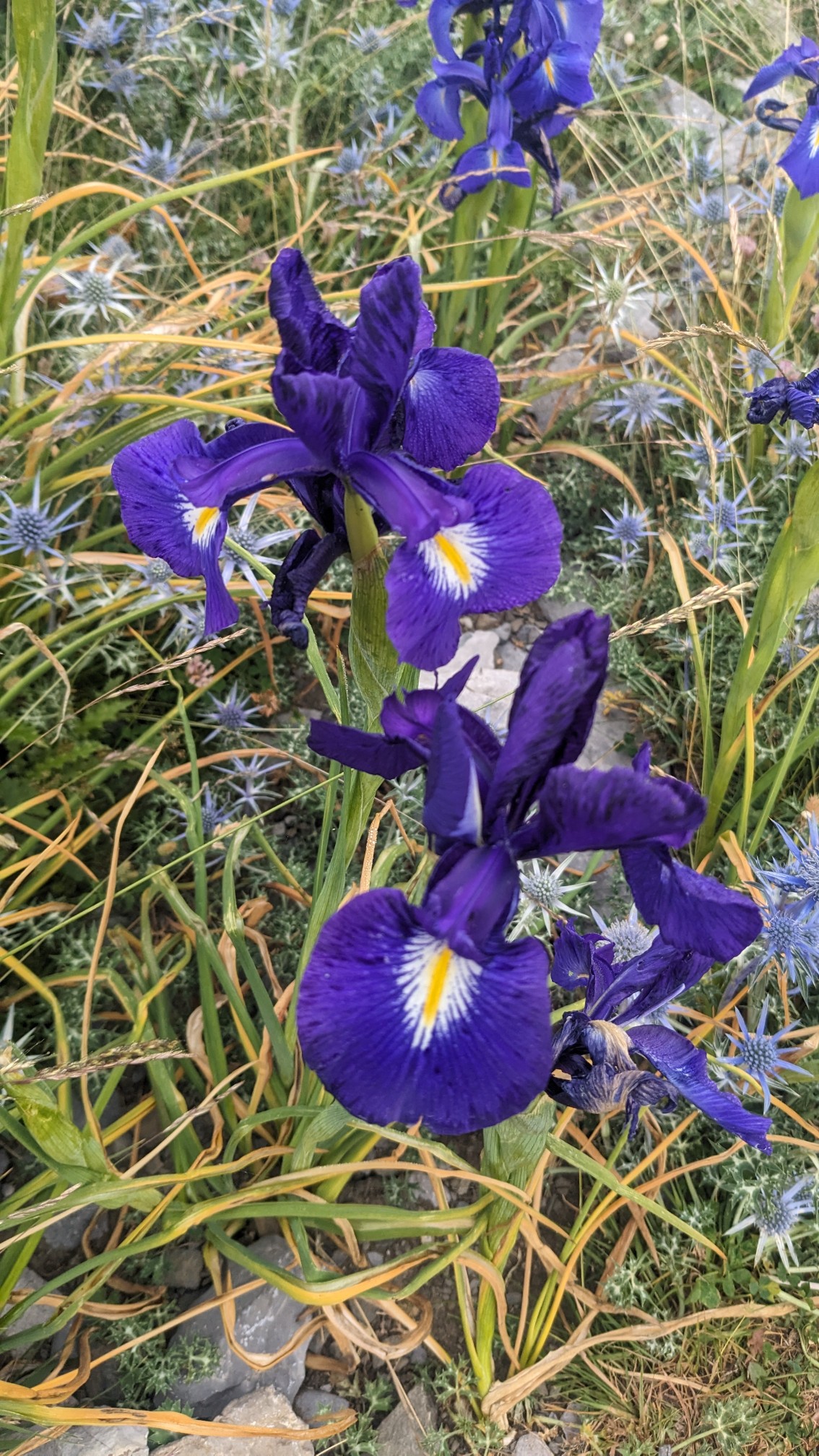
Everything seemed gray and muted except for these bright purple flowers.
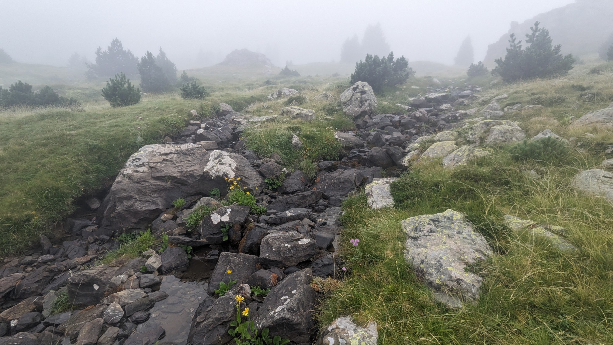
We stopped briefly at a spot called “Source of Manitou” and refilled our water bottles.
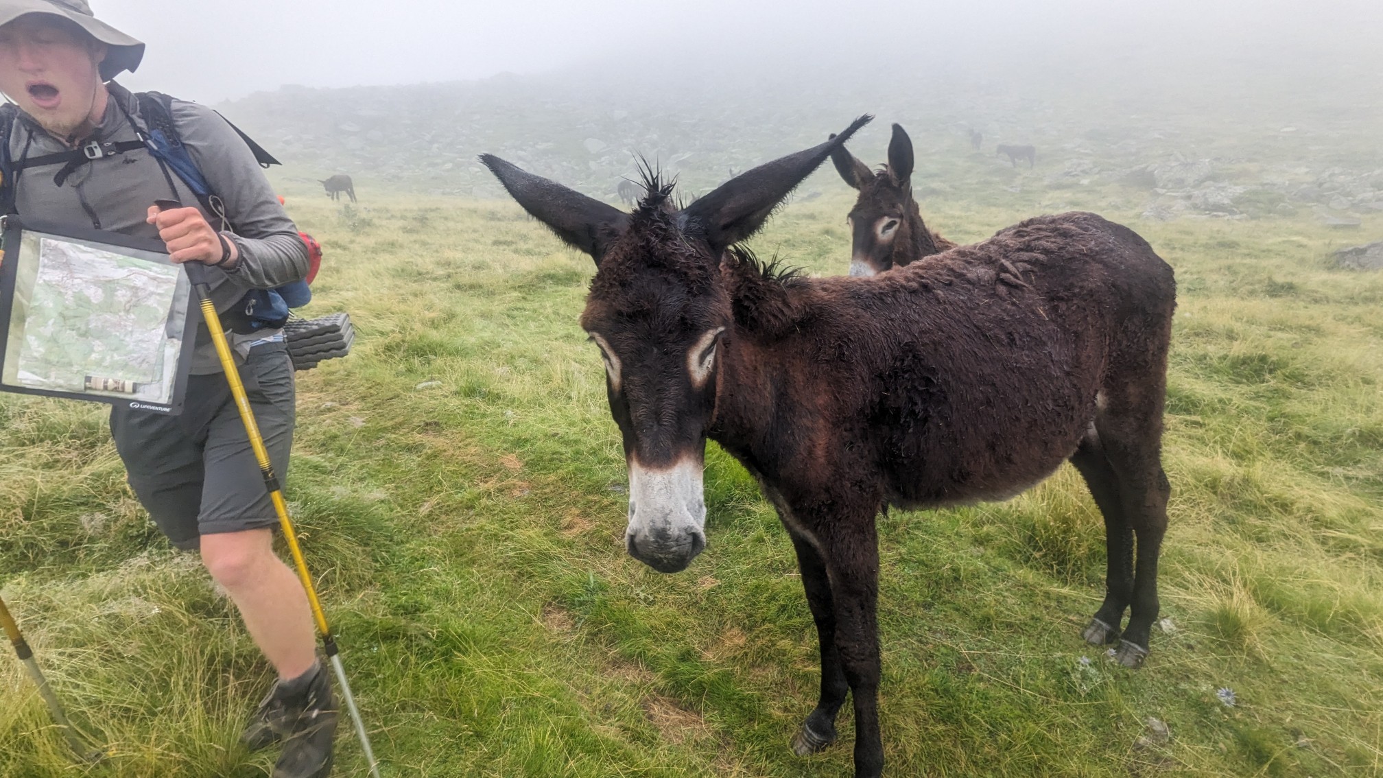
Our original plan was to camp at this spot, then we saw on the map that there may be a cabin nearby, and another potential one 30 minutes ahead. After searching for the cabin nearby and concluding that it no longer existed, we hiked downhill for half an hour to look for the next cabin. We were minorly delayed by a few stubborn mules who would not move off the trail.
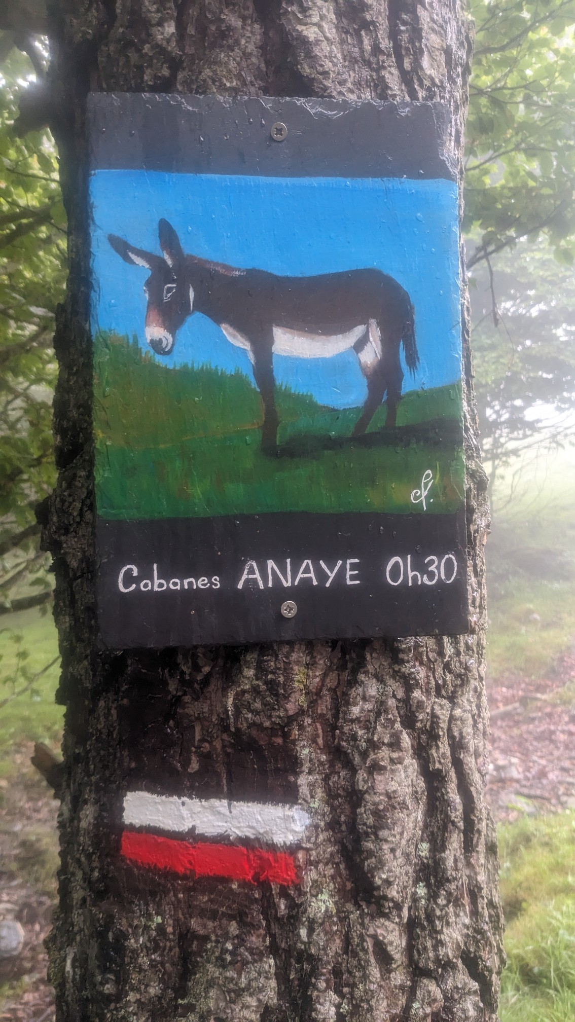
Even though we saw a sign for the cabin, and multiple websites confirmed its existence, once we arrived there we found that two shepherds had taken up residence at the cabin. Darn.
So we camped nearby, simply ready to be done with the wetness of the day. At least tomorrow is a town day!
So love reading about your joirney!
Plenty more to come!
Those pretty purple flowers are English Iris, native to that area of France/Spain.
What an interesting journey!
Thanks! I’m bad with plant names.