Tuesday August 1, 25.8km/16.0mi
Lac Des Isclots (389.0km/2398m) (France) to La Besurta Trailhead (414.8km/2000m) (España)
Today was expected to be one of the most difficult days on the trail, so we got an early start at 6:30.
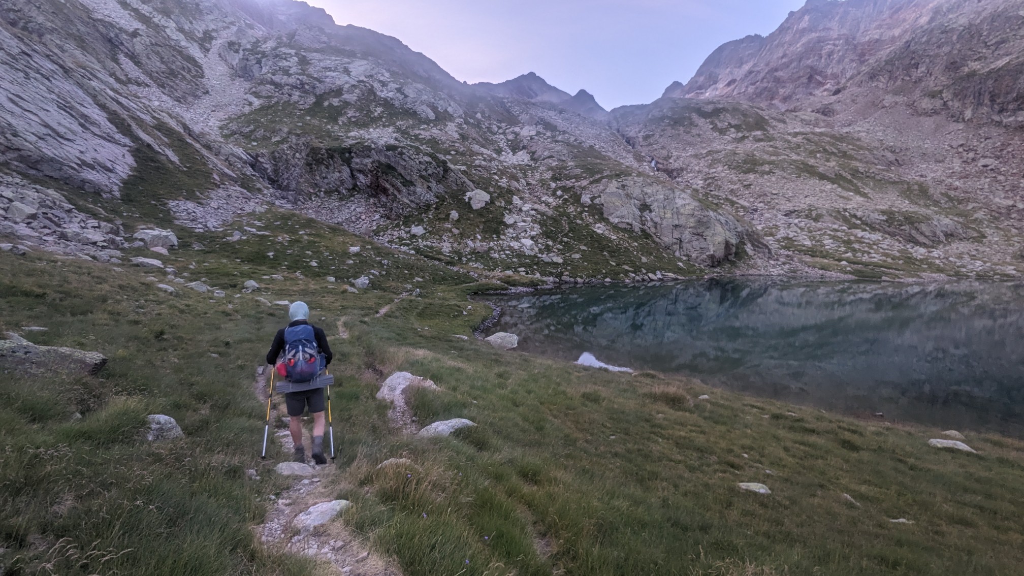
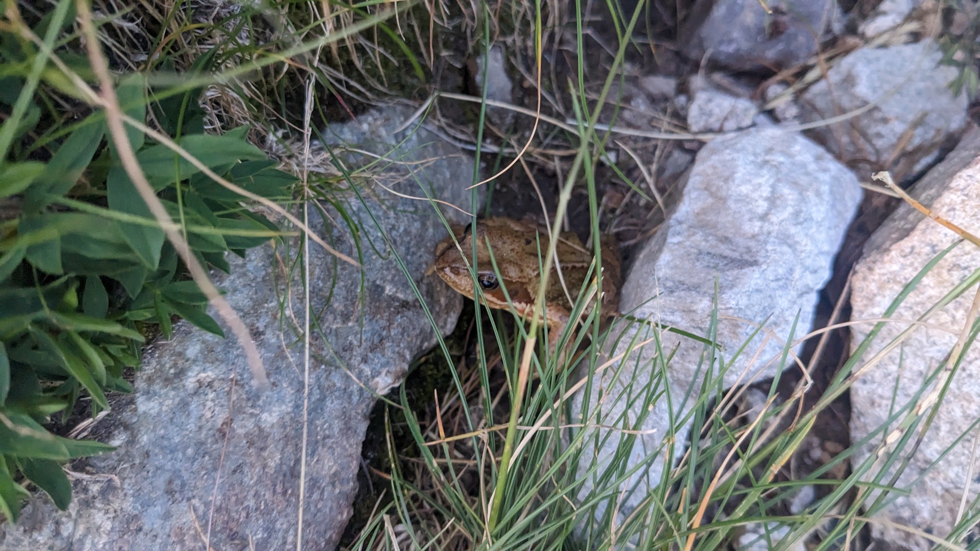
The other campers at the lake were still in their tents, only the frogs were awake to see us hike by.
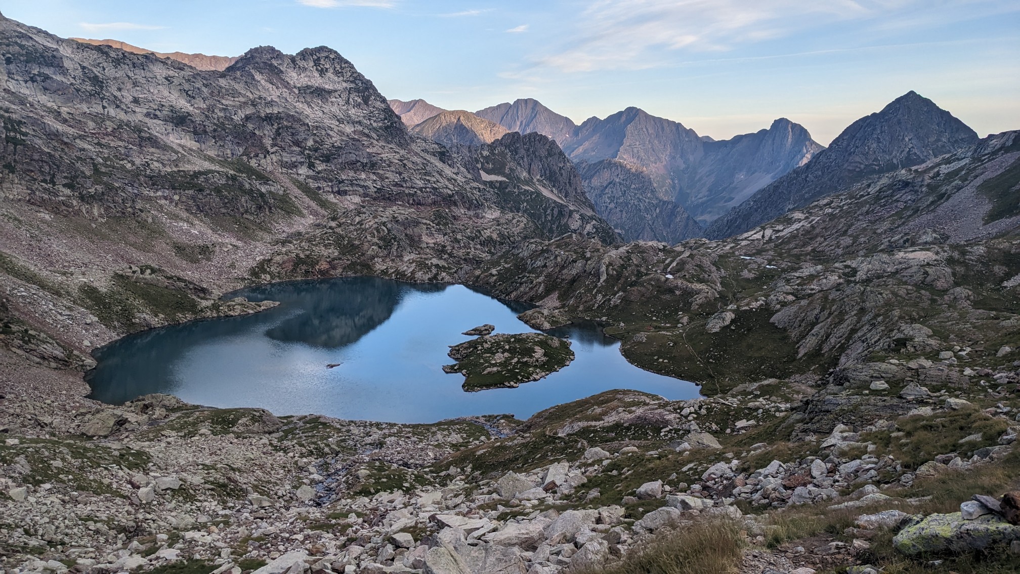
We hiked up to the next lake, and could see our campsite behind us at Lac Des Isclots.
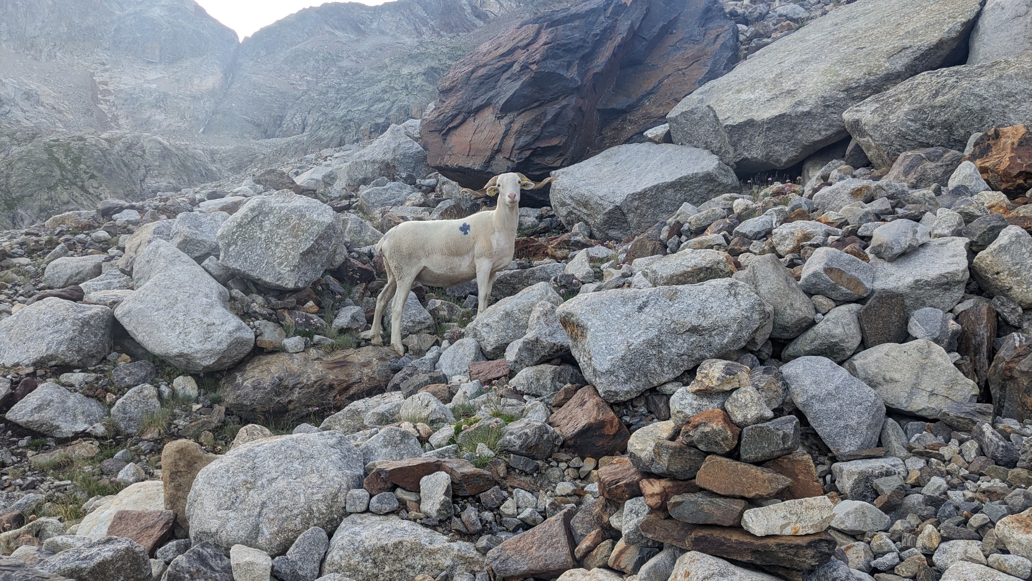
Surprisingly, there were sheep way up here.
Adam coming up the talus climb behind me.
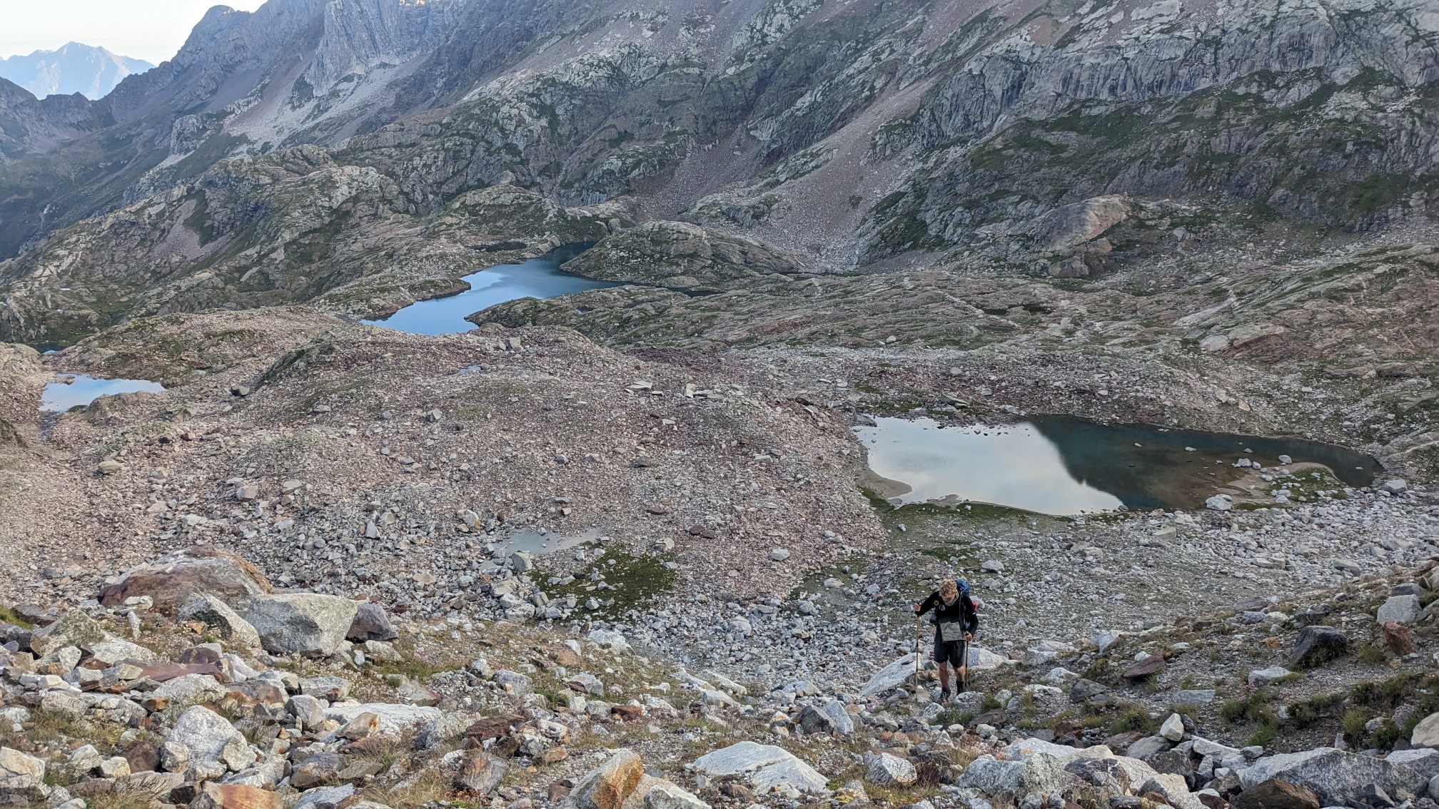
It was a slow climb up to the pass, Col des Gourgs-Blancs. So much talus!
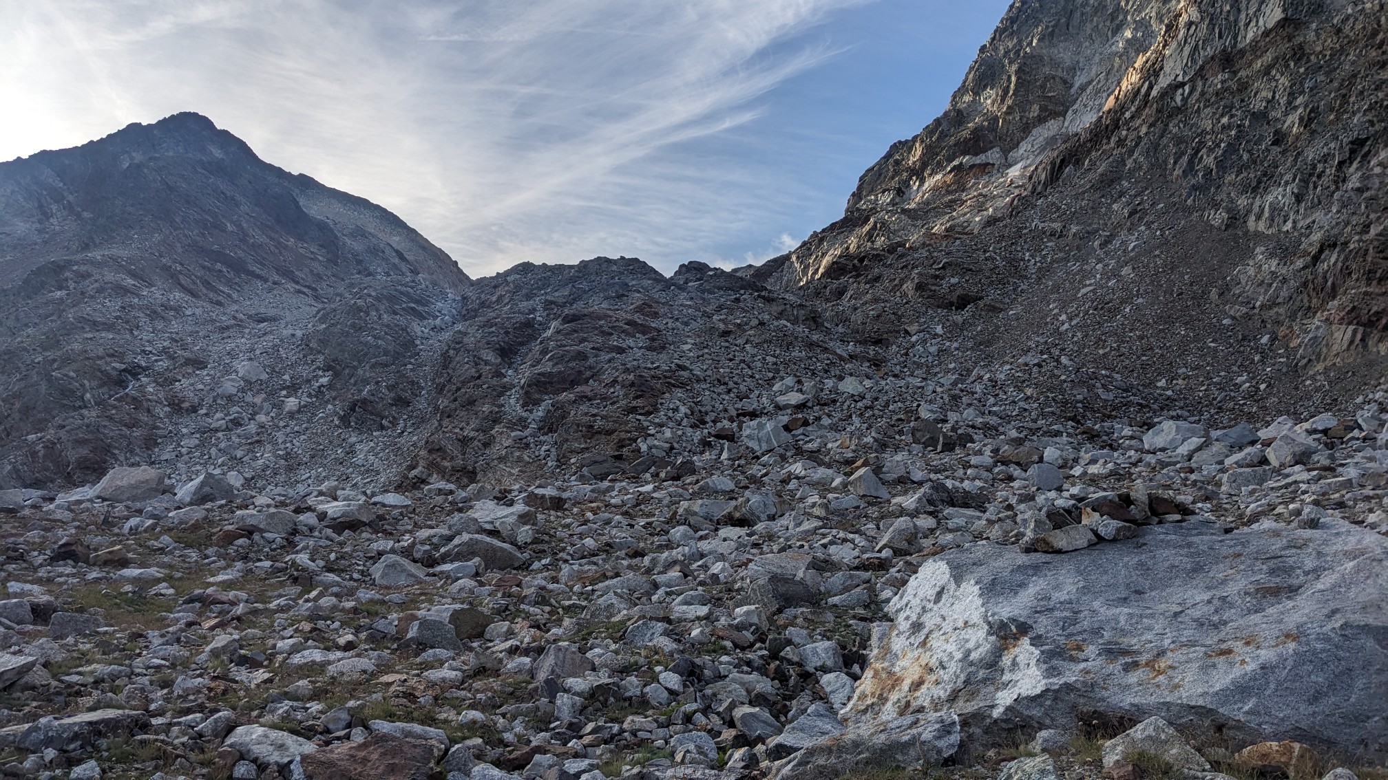
Two hours after we had left camp, we arrived at the top of the pass.
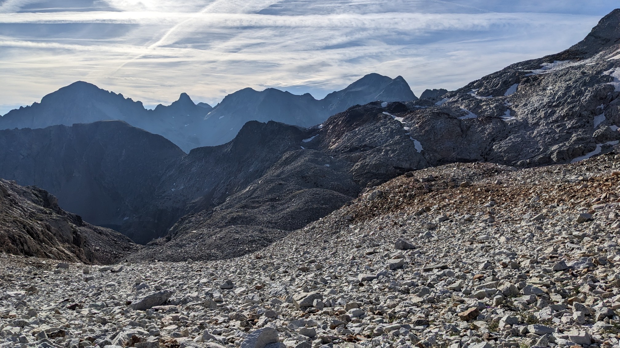
Pretty grand views from an elevation of 2877m.
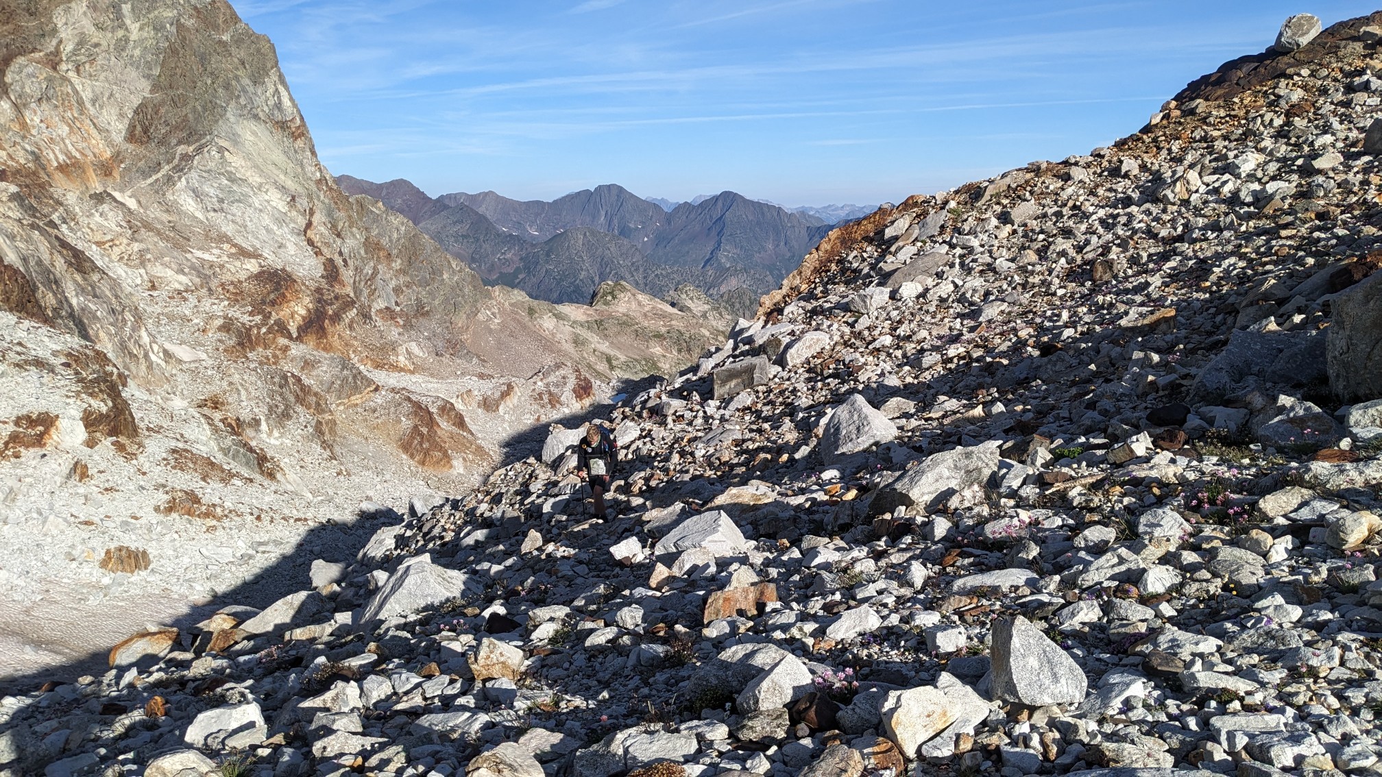
The descent down the other side of the pass was quite steep, and we took our time to find the best way down.
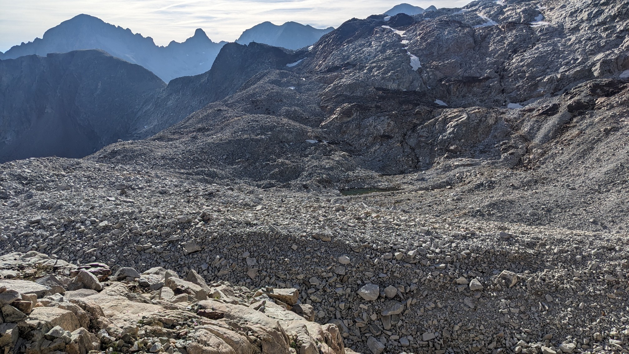
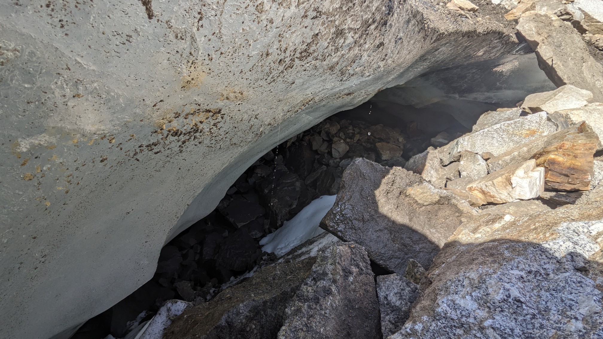
At the bottom of the largest talus field, I saw a large piece of ice under the rocks. At that point I realized we were technically hiking on a glacier. Cool!
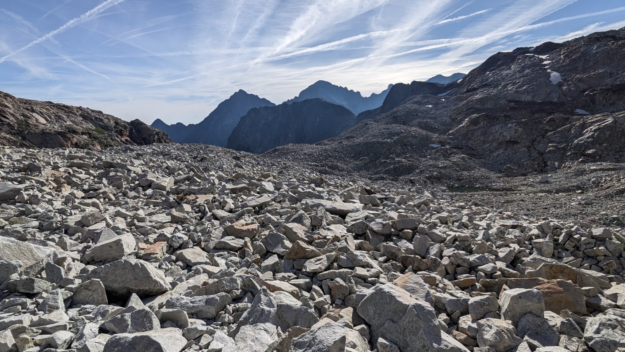
It took us about an hour to hike to the next pass, Col du Pluviomètre. The talus was never ending.
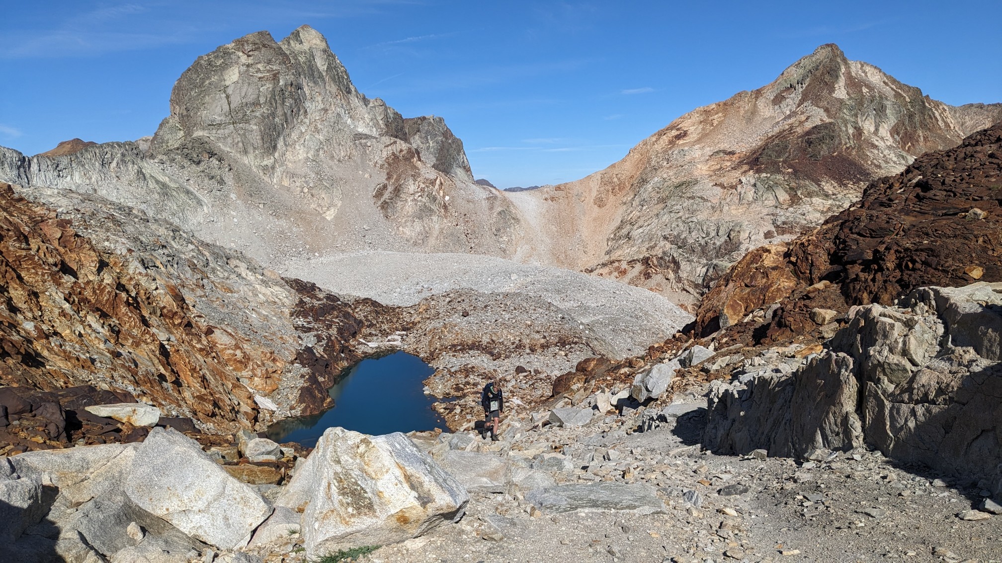
There are some little tarns hiding between the rockpiles which was a nice surprise.
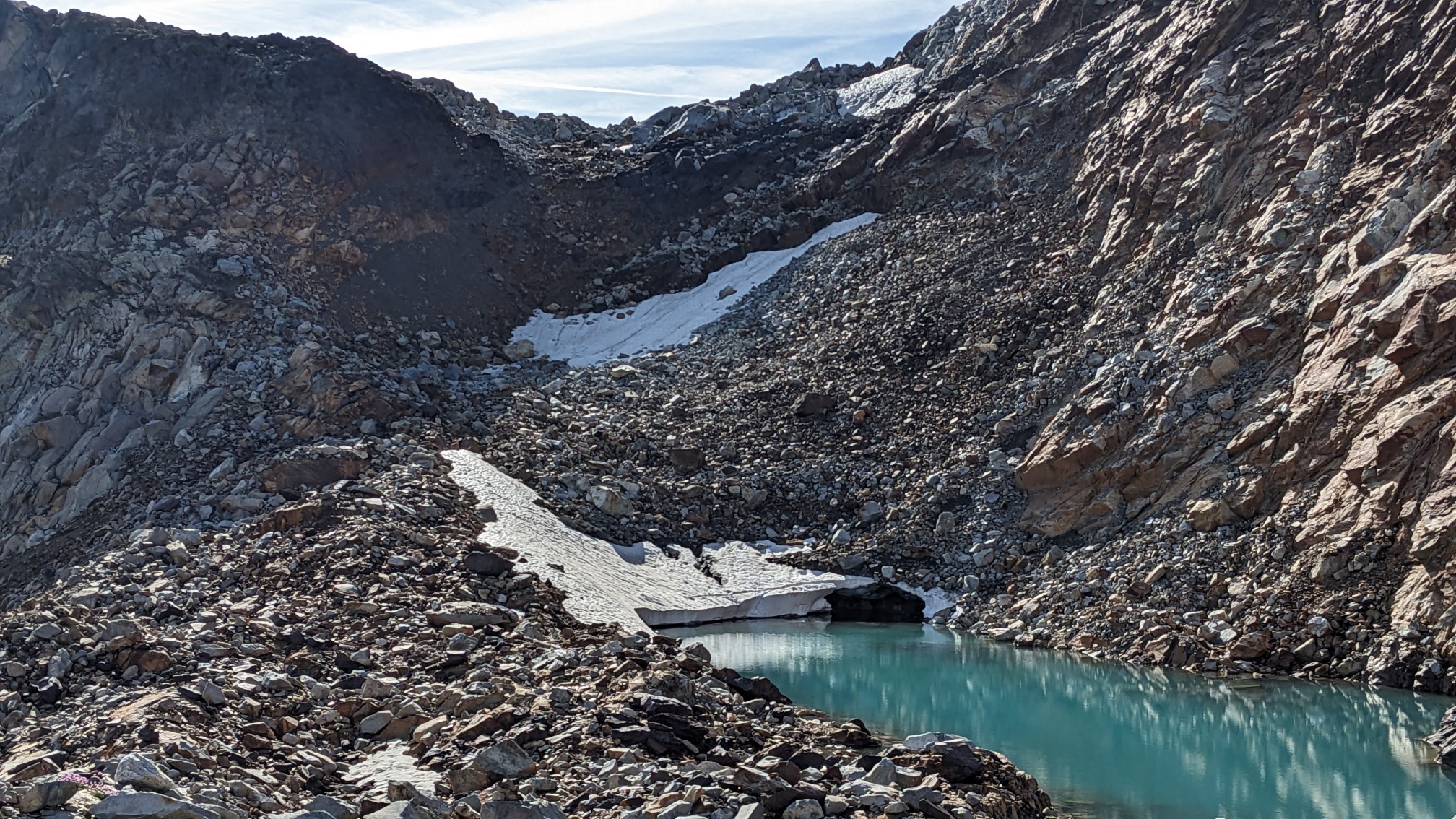
I even got to hike on a little patch of snow for about 10m. Sweet.
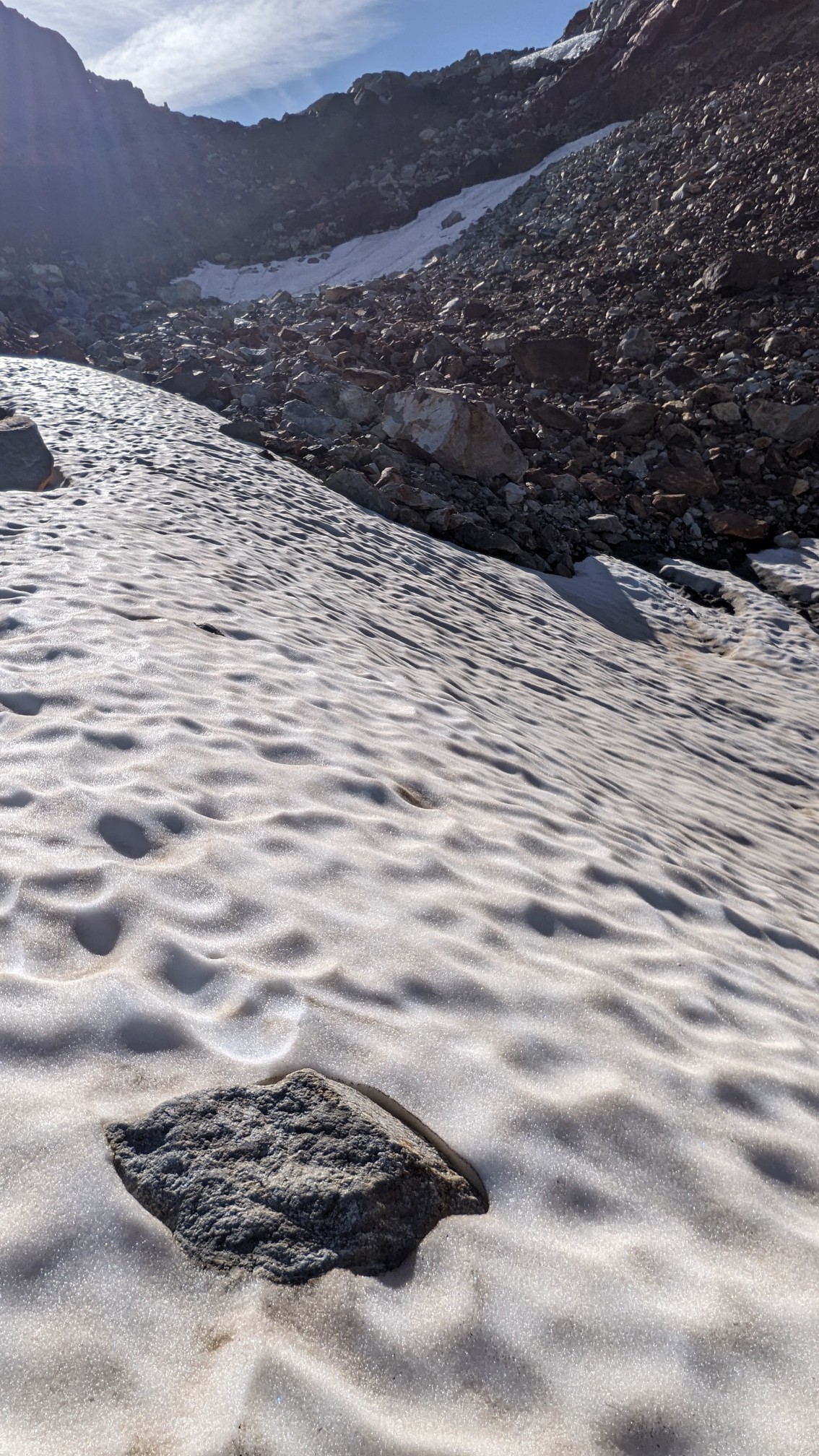
From the top of the pass, Col du Pluviomètre, I could see the little tarn behind me, and Adam coming up a few minutes later.
The view down into the next valley was filled by a giant lake, Lac du Portillon.
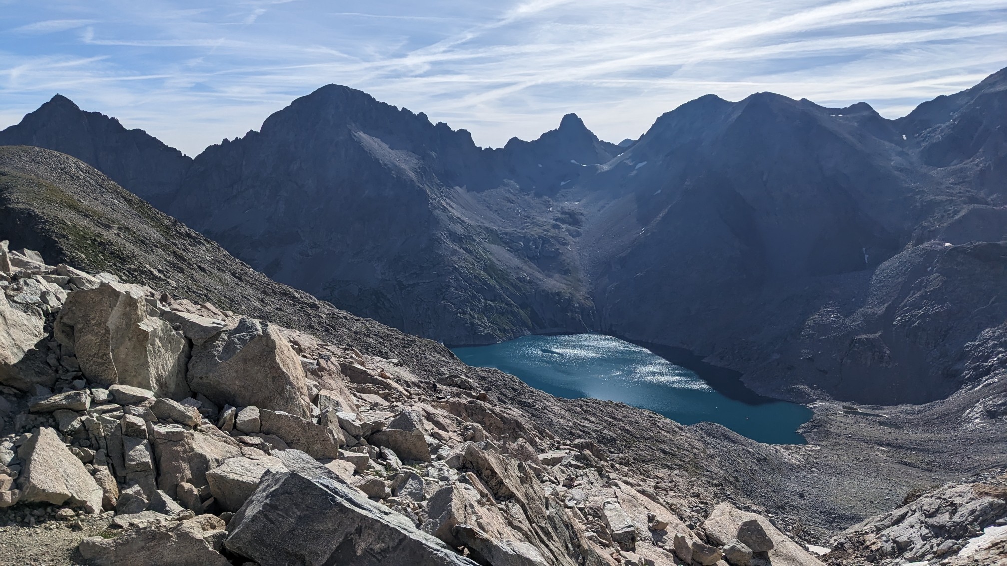
But first, the trail went over that gently sloping peak on the left edge of the photo. The trail was easier to hike now.
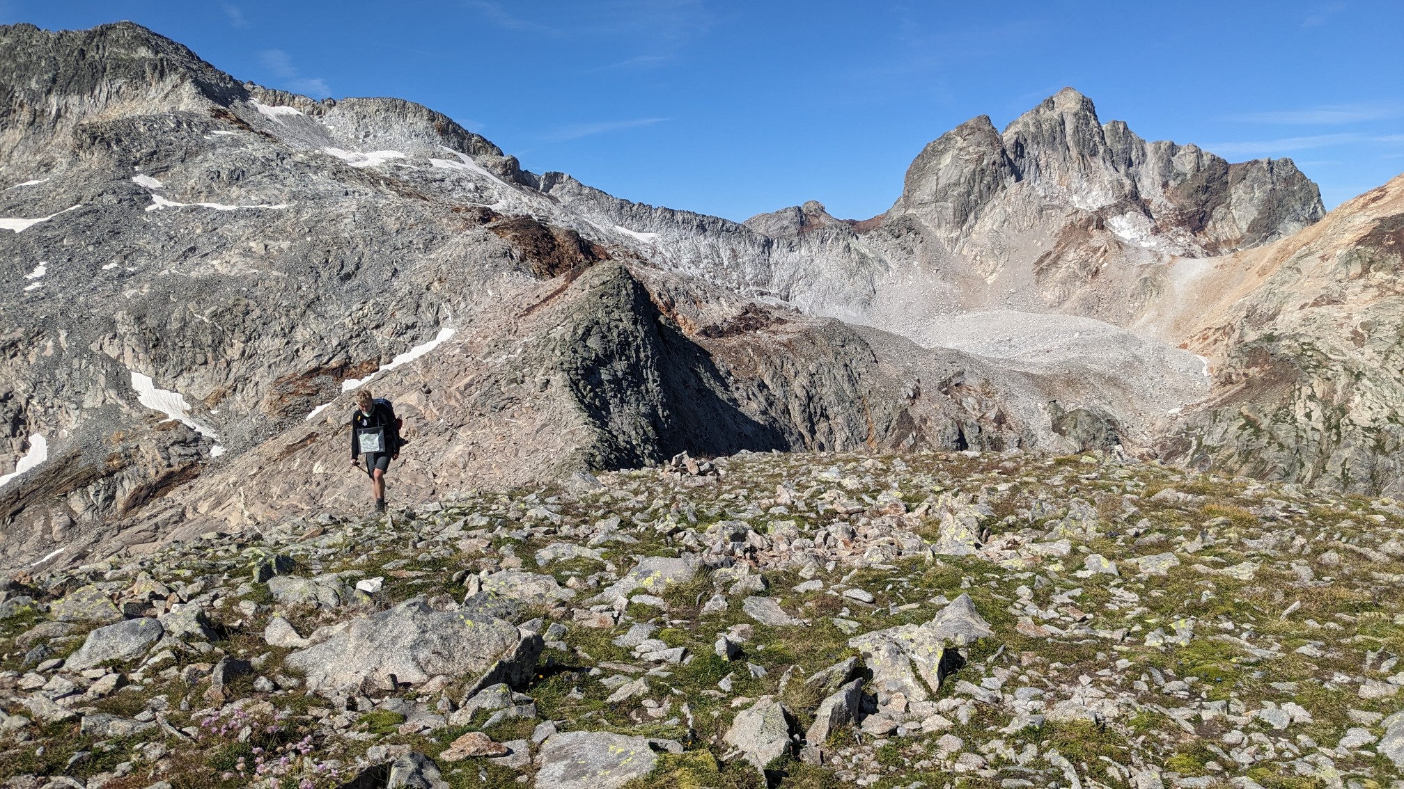
It was pretty quick to the top, which was basically a large flat plateau.
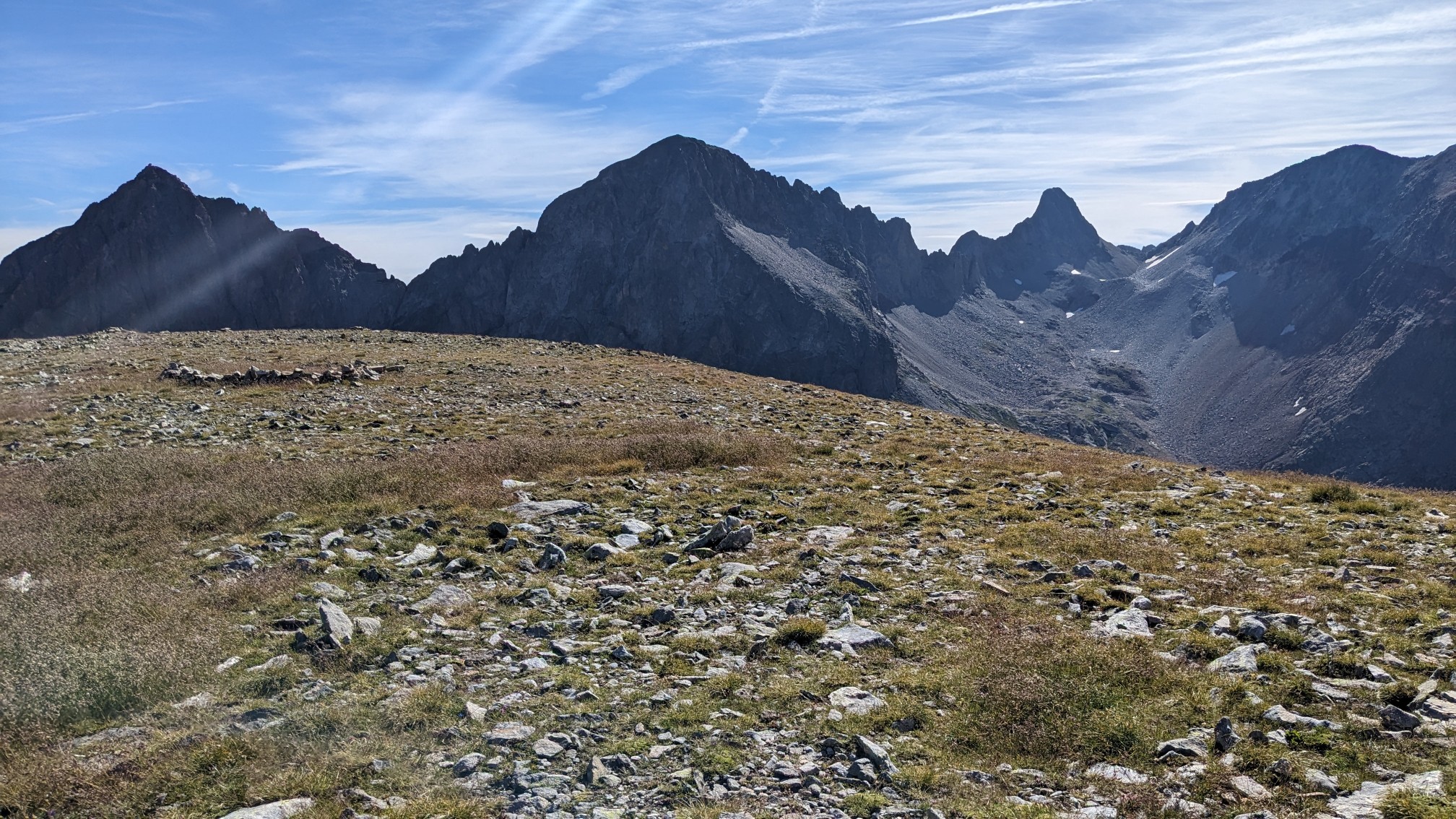
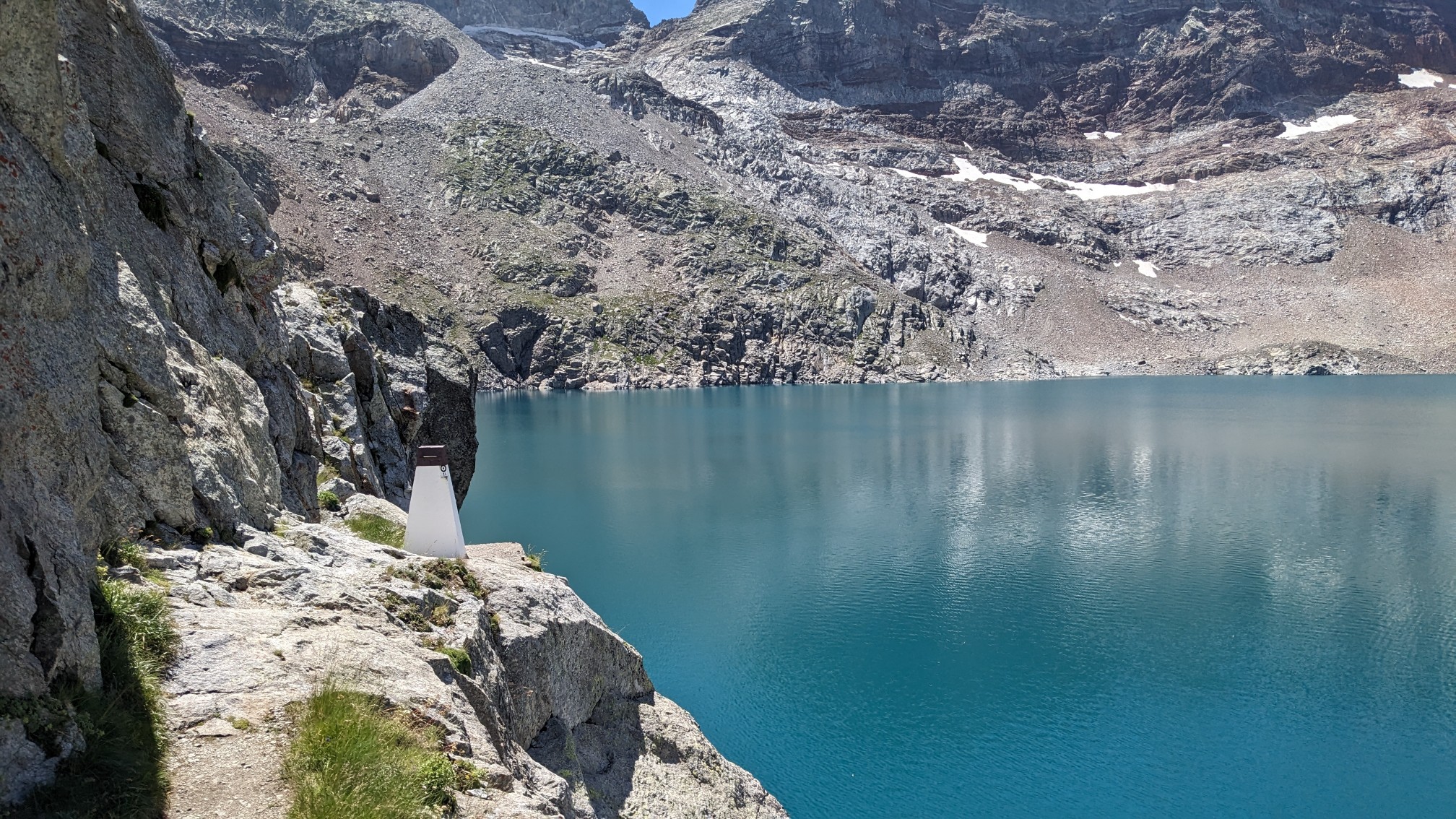
And it had a grand view of the lake, Lac du Portillon, and the hut which is just below the dam.
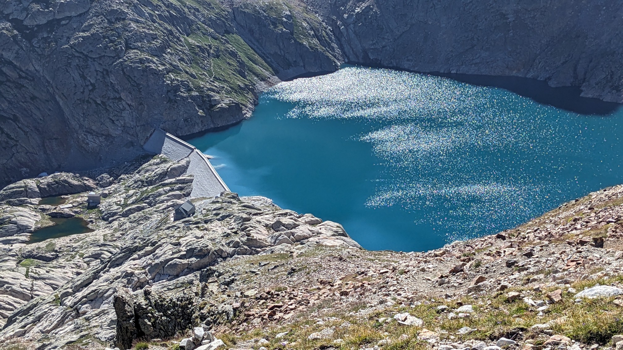
Half an hour later we were at the hut and bought some lunch.
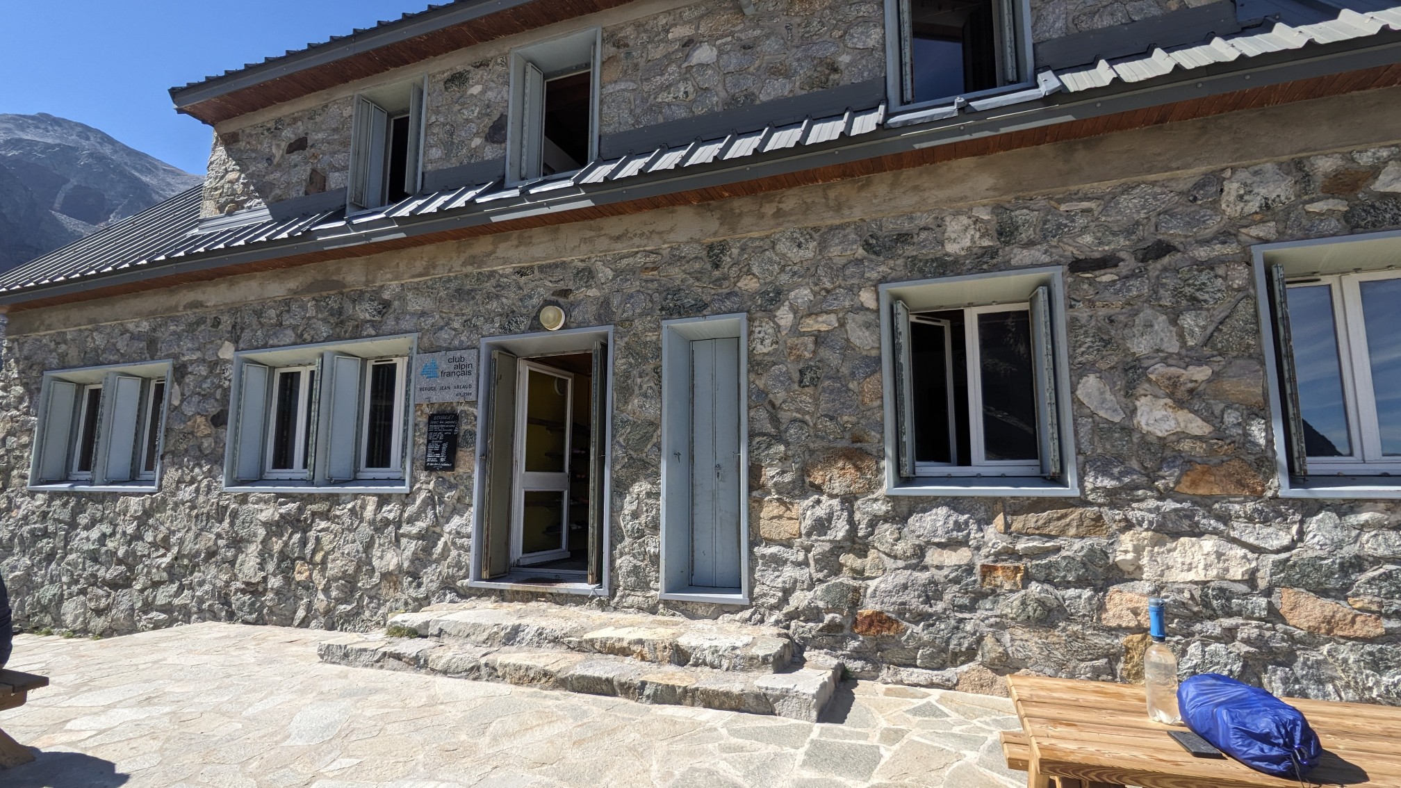
We both decided that an omelette was the best calories for our money, and it was a ton of food. I was feeling a little full, but we still had one more pass to hike over. So we crossed the dam and started up the next climb.
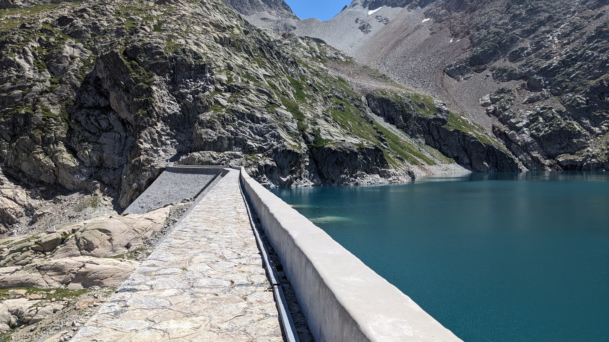
For a very short stretch the trail skirted just above the lake on a narrow ledge.
From there we had about an hour climb up to the final pass for the day, Col Inférieur de Literole. Of course there was talus.
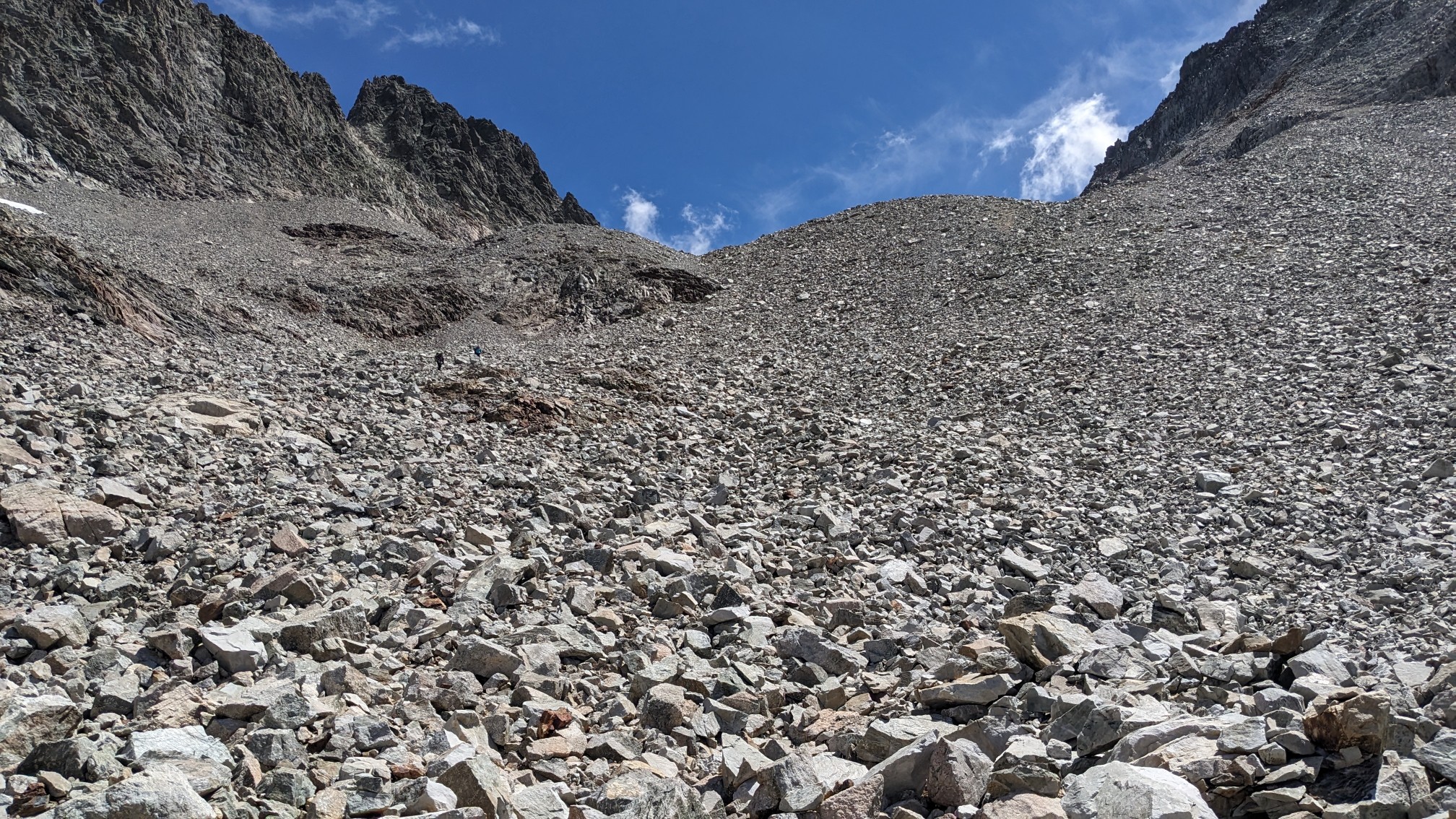
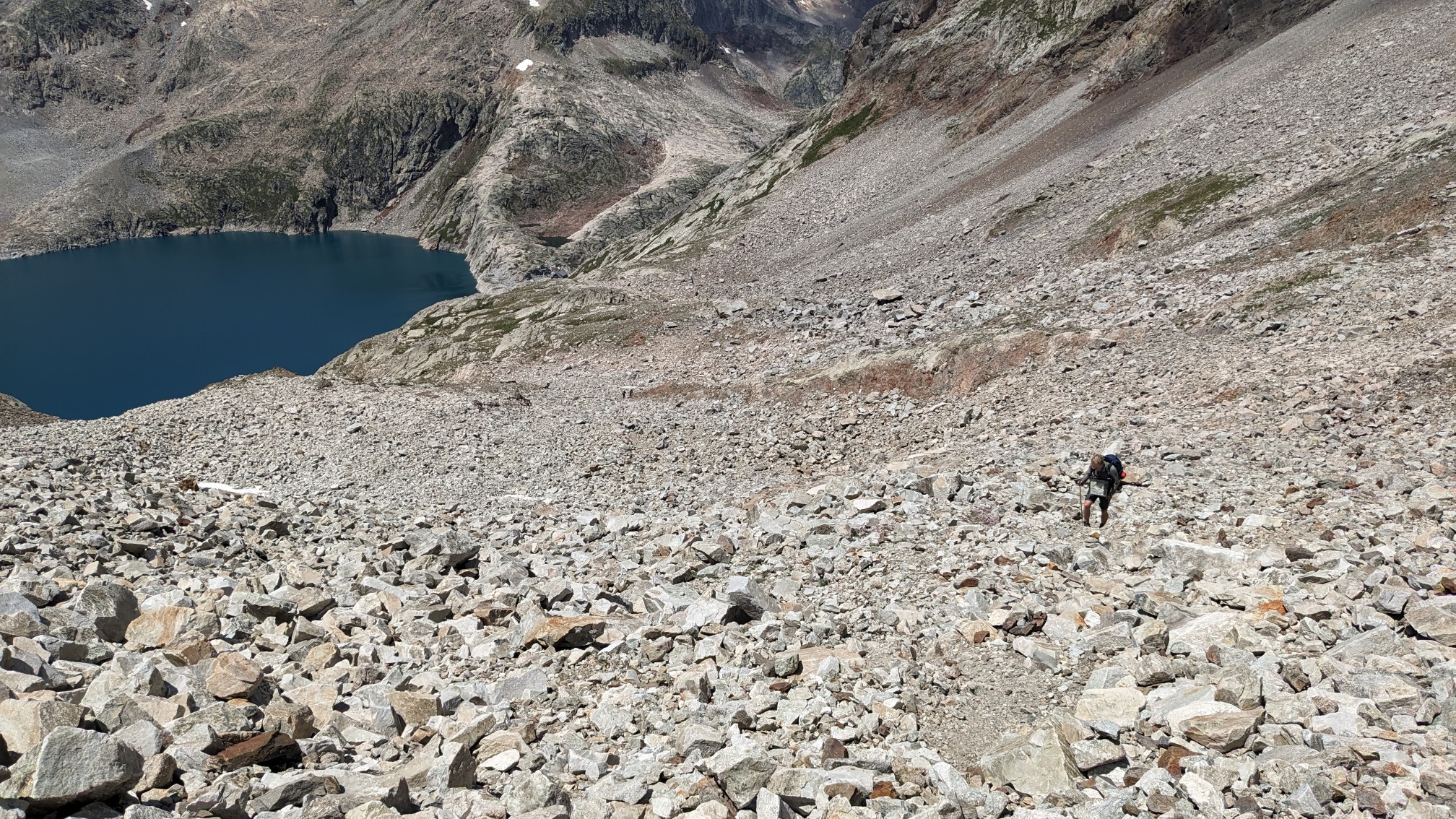
Adam coming up behind me.
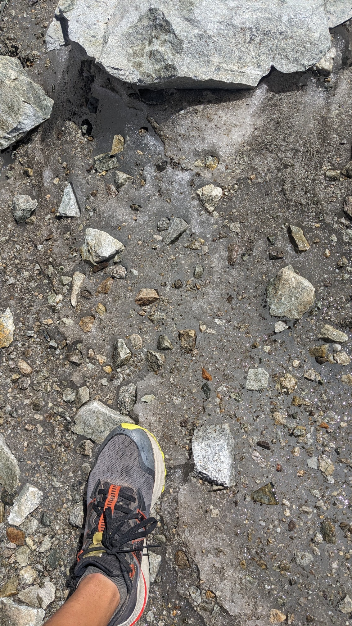
I can see that the rocks were sitting on a sheet of ice, which once again meant we were hiking on a glacier.
There was a short patch of snow which was easily walked across, but I decided to put on my microspikes because I had carried them all this way, and not used them yet. After that ridiculous scene, we were soon at the top of the pass. There were heaps of views ahead.
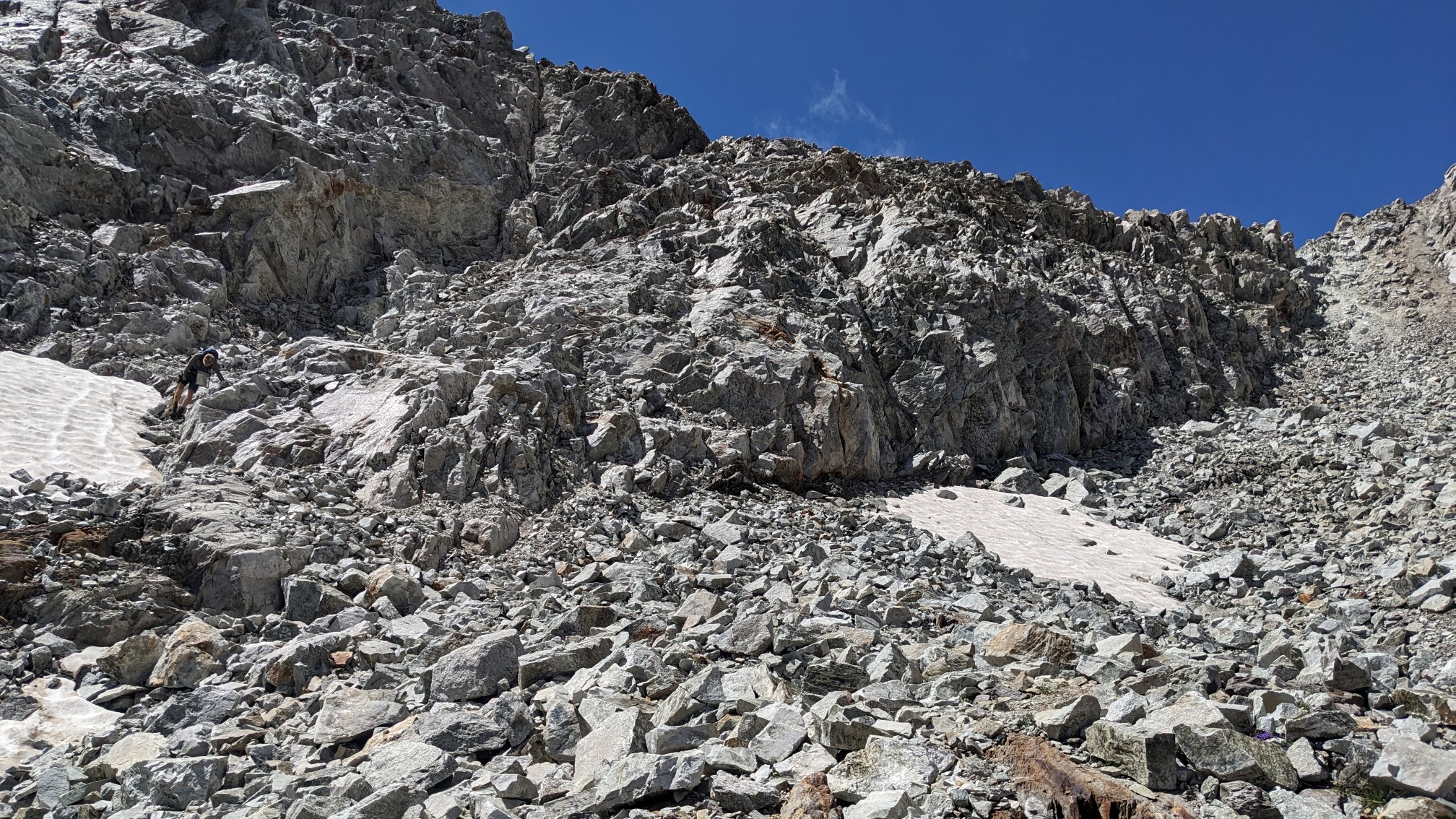
From the top of the pass, we had to descend a very steep little cliff, which required some care and turning around to face into the rock.
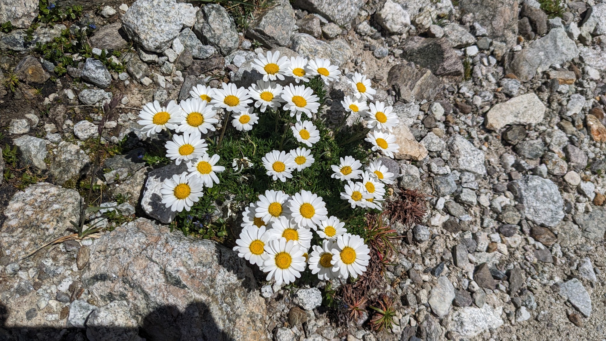
Nothing was growing at this elevation except for these little flowers.
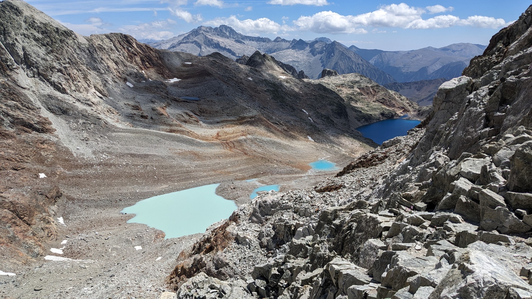
The lakes we had seen from the top of the pass were getting closer.
The guidebook describes this section as a “chaotic granite wilderness.” Yup.
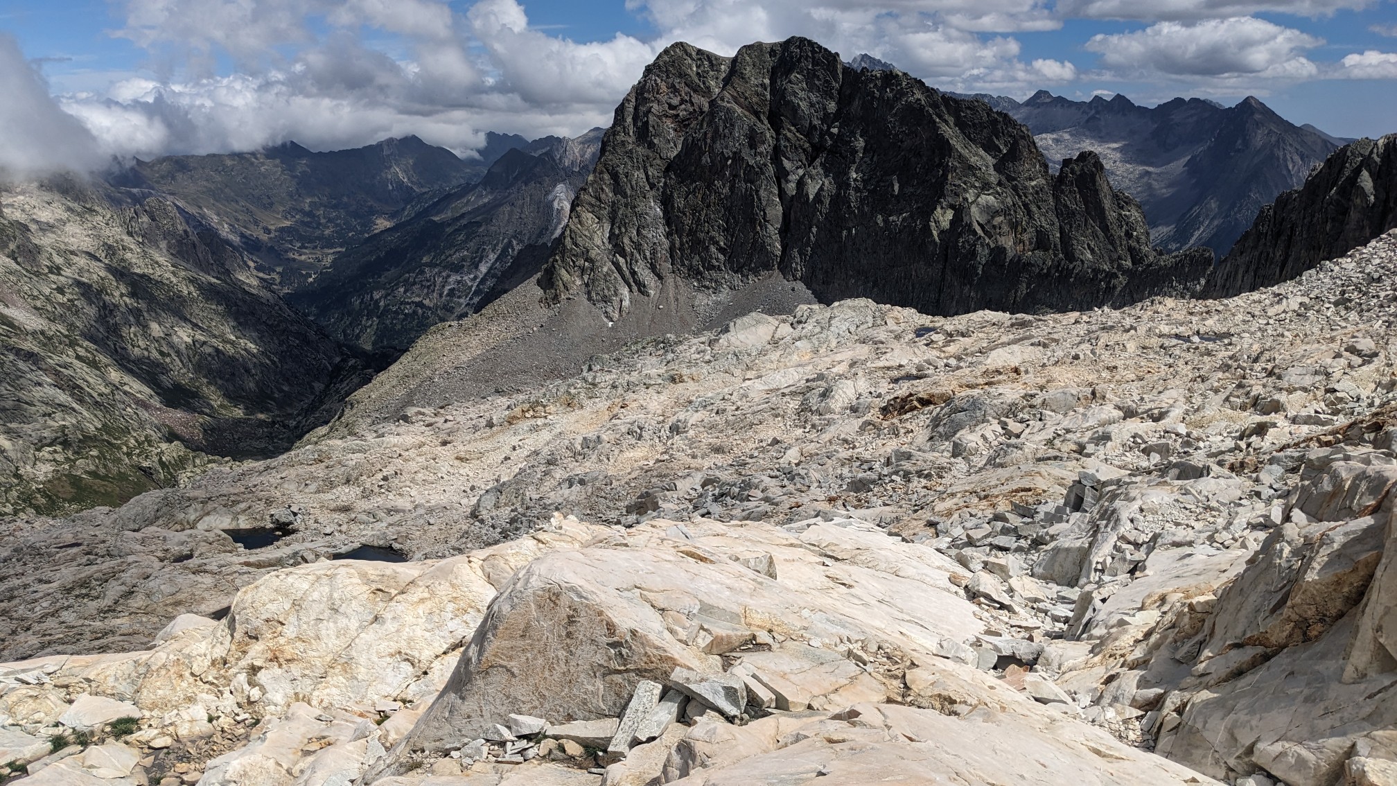
After a couple hours of descending we finally left the talus and rocks, and followed a nice stream down the valley.
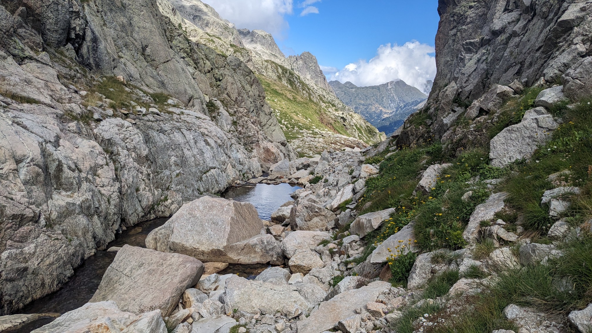
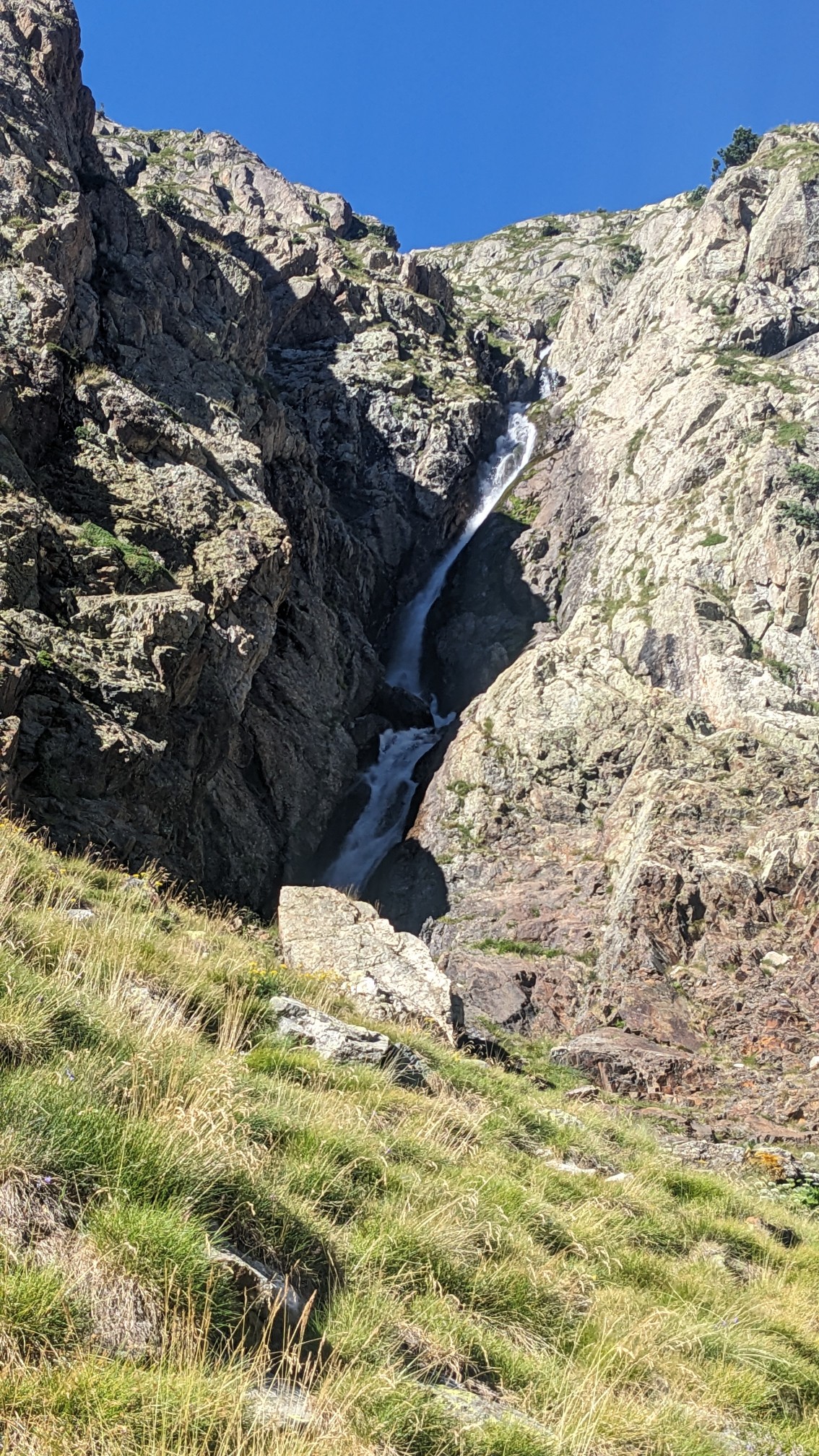
The valley kept going down, sometimes next to waterfalls.
We descended almost 1500m from the top of the pass.
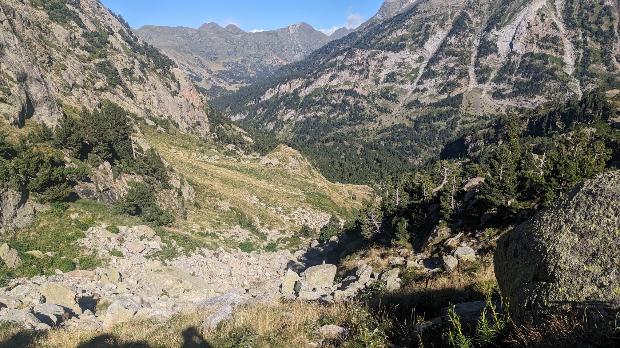
I made it down to a road at 7pm and 20 minutes later Adam caught up with me. This area was more touristy so we saw a few people walking along the path near us.
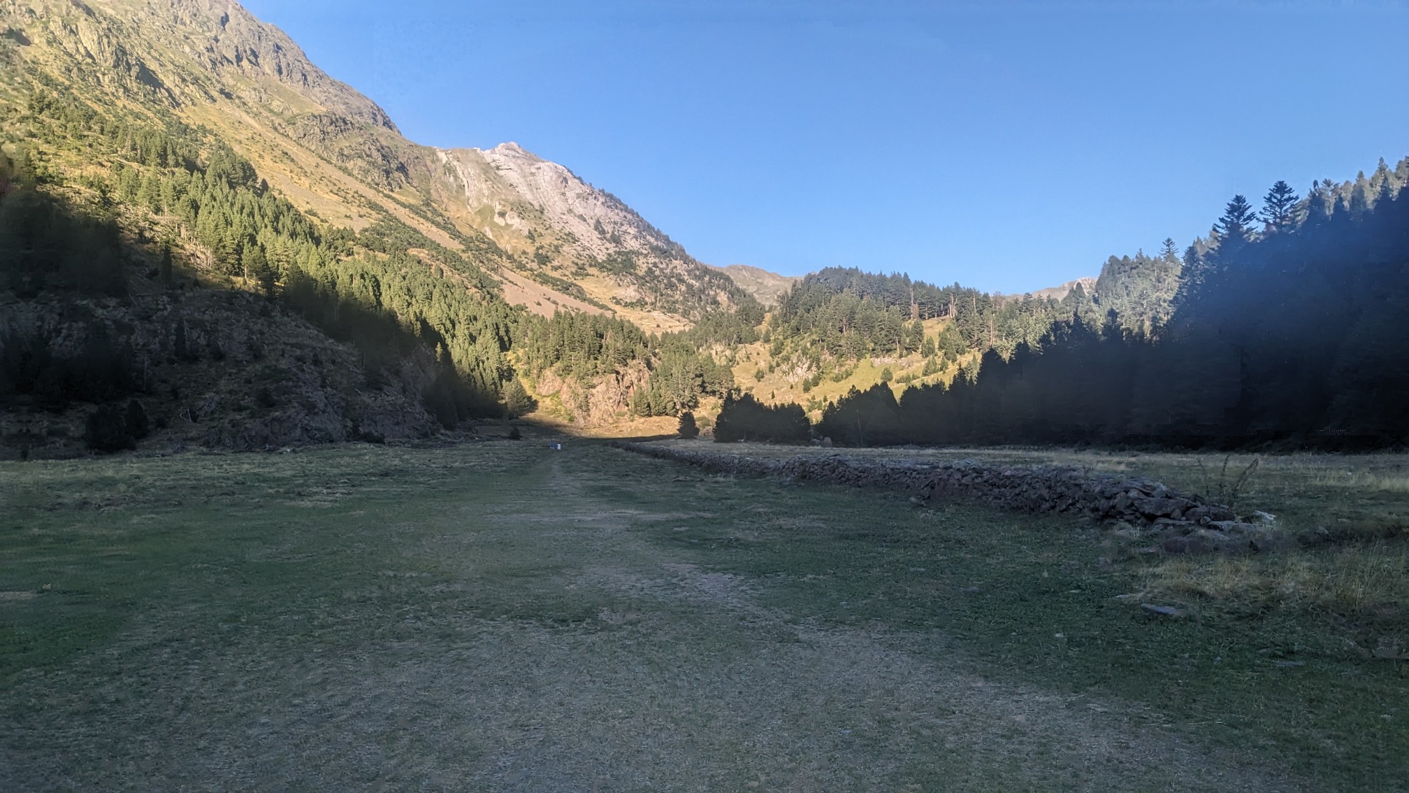
It was great to see green and trees again after being up so high all day.
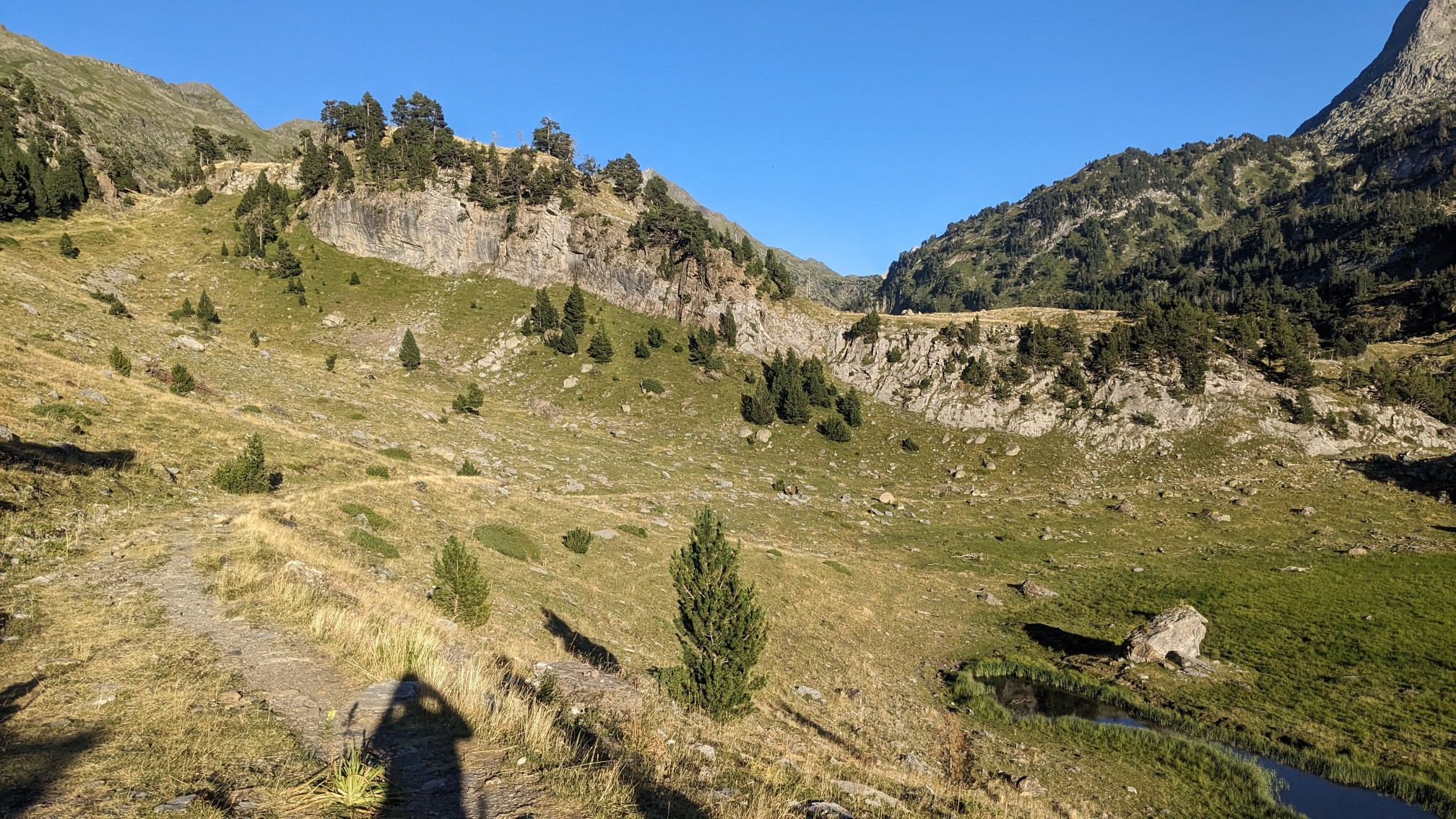
There were no camping signs posted throughout the valley, plus there were plenty of cows, so we hiked a little further until we came to a flat spot that was relatively clear of cow poop. There was a hut down a side trail but it would require 40 minutes of uphill hiking….no thanks. I finished all my evening chores just as the sun went down and very quickly fell asleep. Long day!
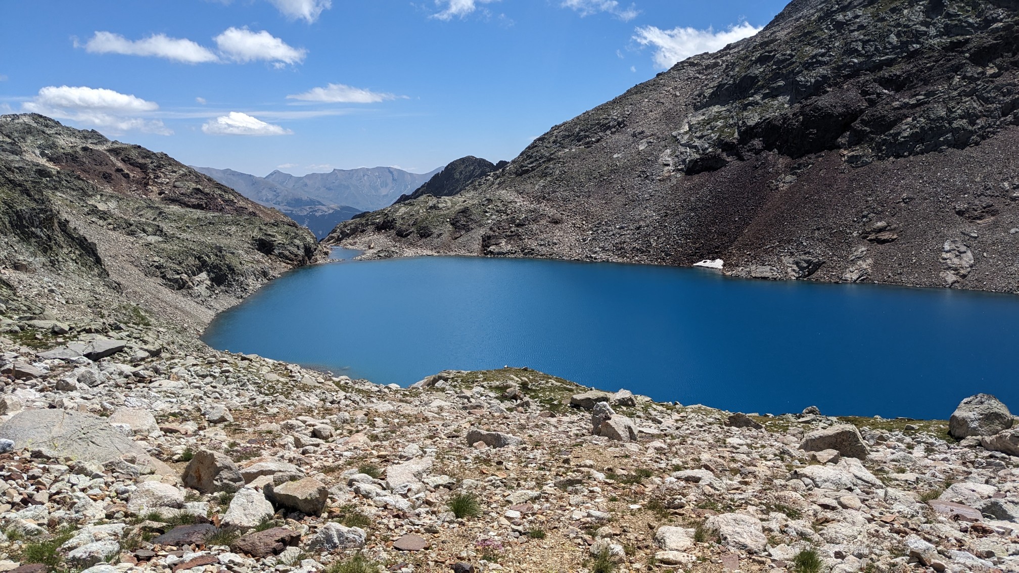
Amazing views!!! And the lakes are so blue.
Love the daisies among the glaciers.