Sunday August 13, 20.4km/12.7mi
Estany de la Pradella (624.0km/1955m) (France) to Vallée d’Eyne (644.0km/2060m) (France) +0.4km to cabin
I slept great in the cabin that I had all to myself. I kept expecting more hikers to show up last night but nobody ever did and it was a quiet night. I got going just before 8am and had an easy walk down a wide trail.
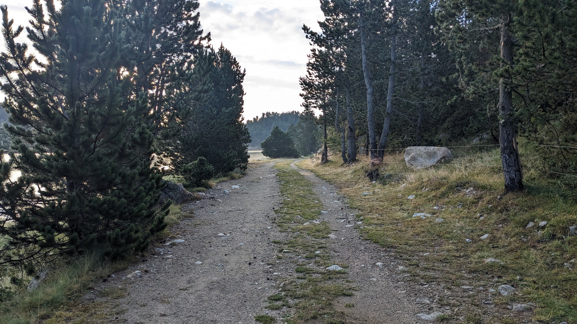
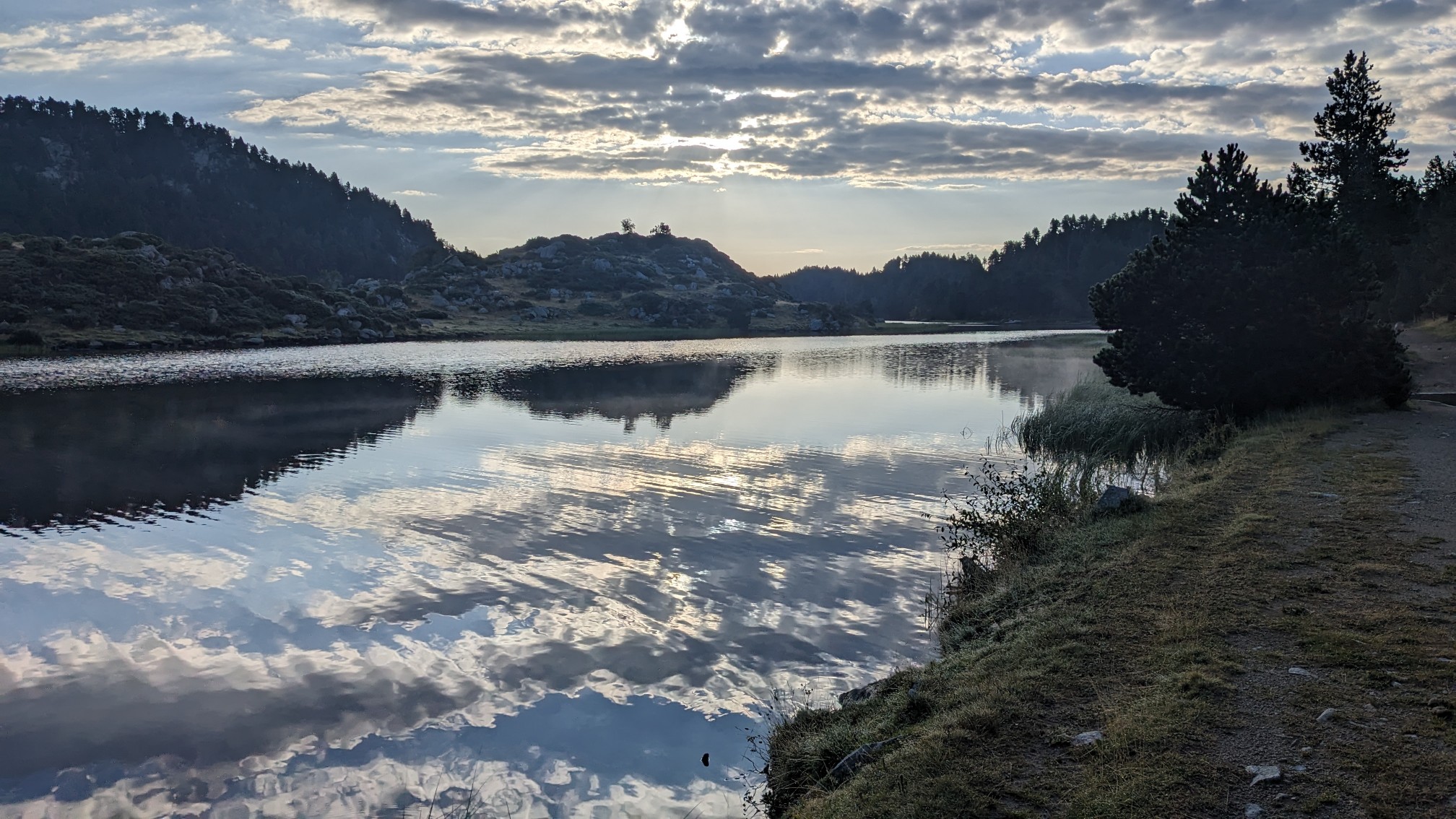
I had to backtrack a little bit, since the cabin was about 400m off of the main trail, so I got to see the lake again.
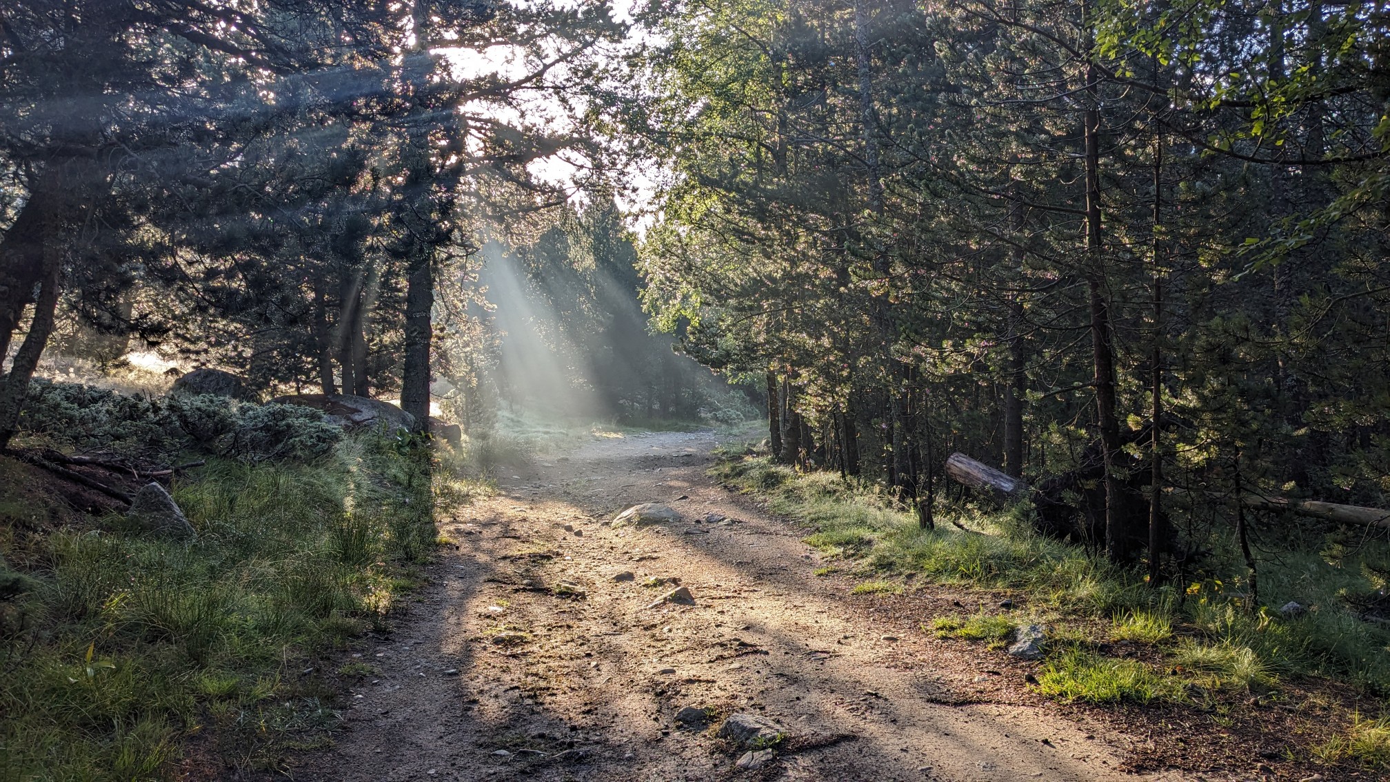
I walked a nice easy wide trail all morning and it was delightful. It was even better to see it in the morning light, which was streaming through the treetops.
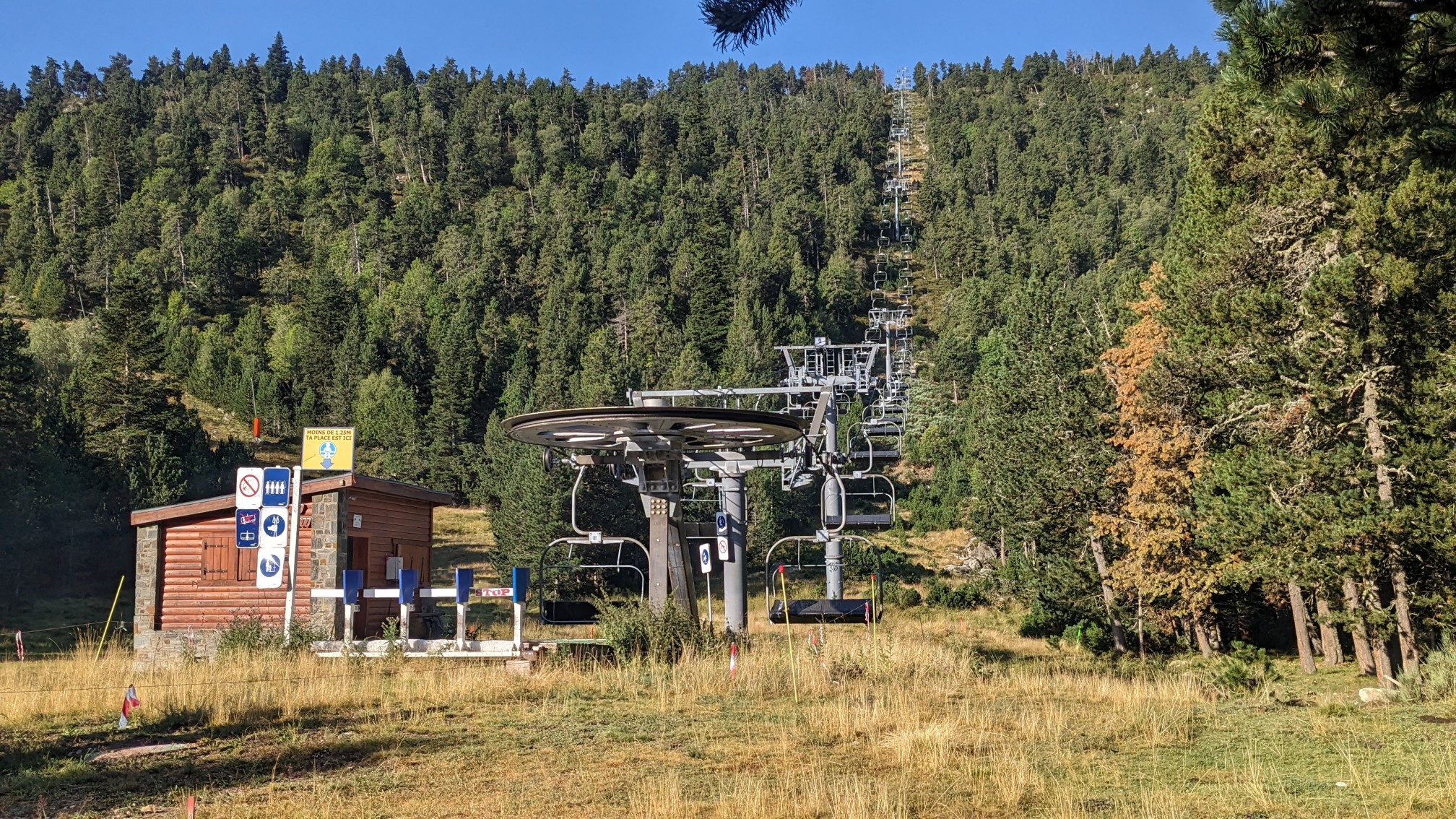
It’s just not a hike through a valley without seeing at least one ski lift.
The temperatures were perfect, I was walking through a pine forest, and I had a good audiobook to listen to….life was grand.
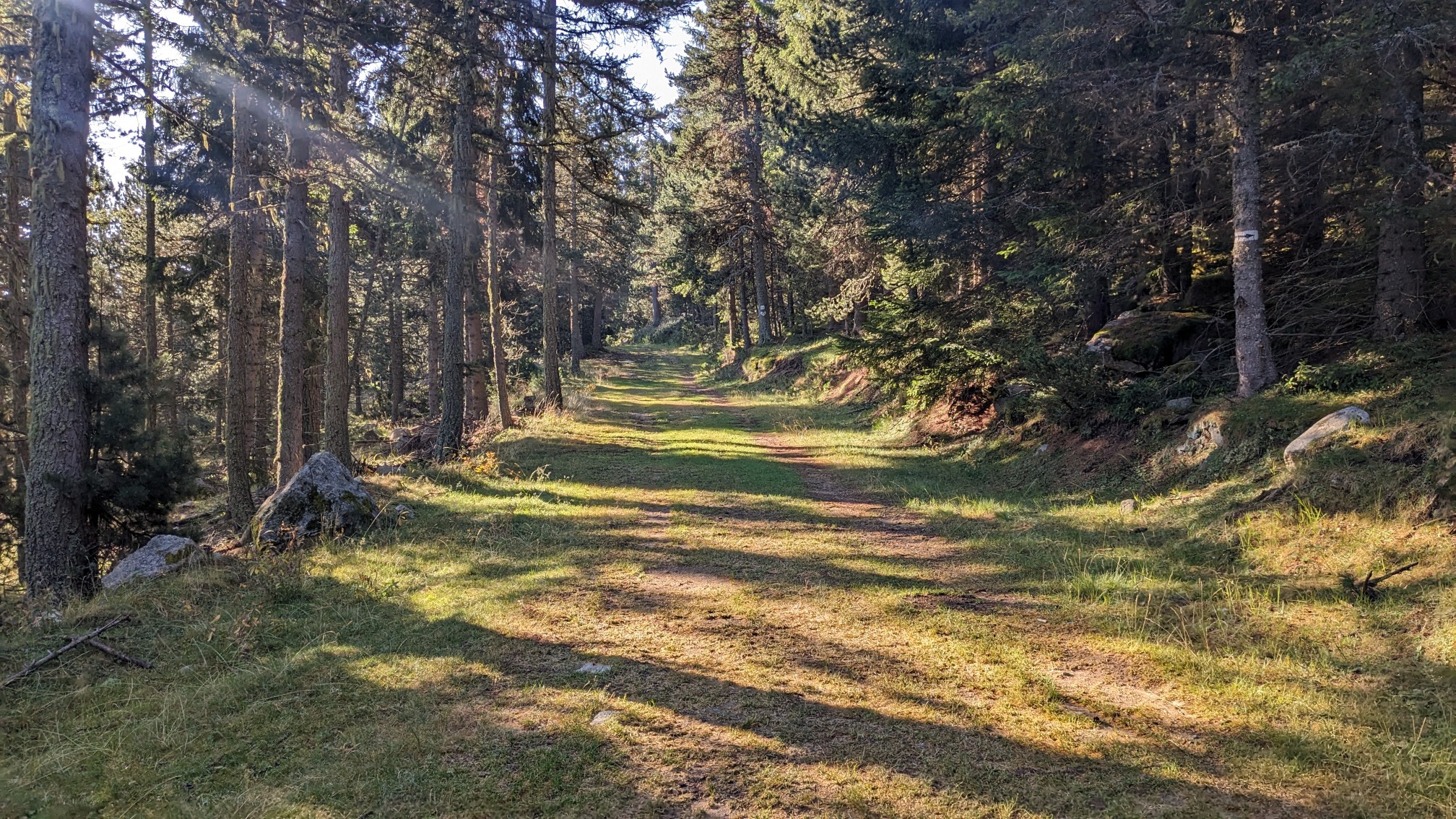
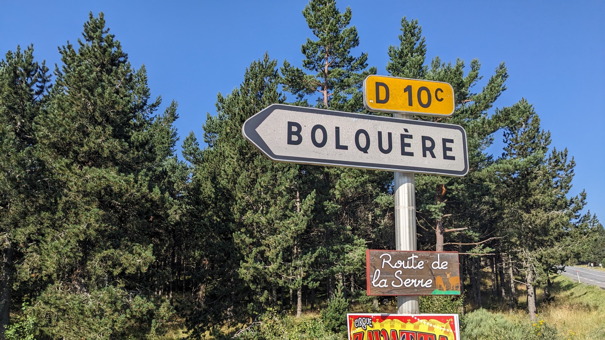
Much of this route is high elevation and above the treeline, and I realized that I missed hiking in trees. After a couple hours of forest hiking bliss, I had a short roadwalk to the little village of Bolquere.
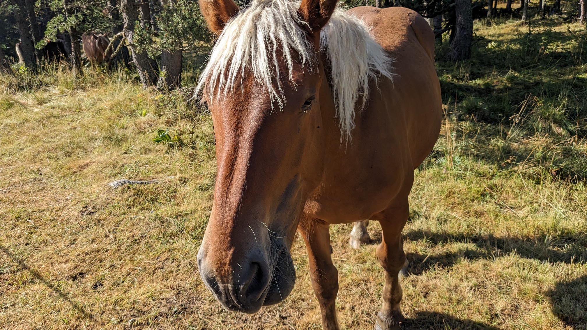
There was a farm along the road with some very friendly horses, and this one kept making noises at me until I scratched its nose. They love that.
I got to the supermarket at 11am, which was lucky because they closed at noon. (For some reason many places in France close at noon on Sundays).
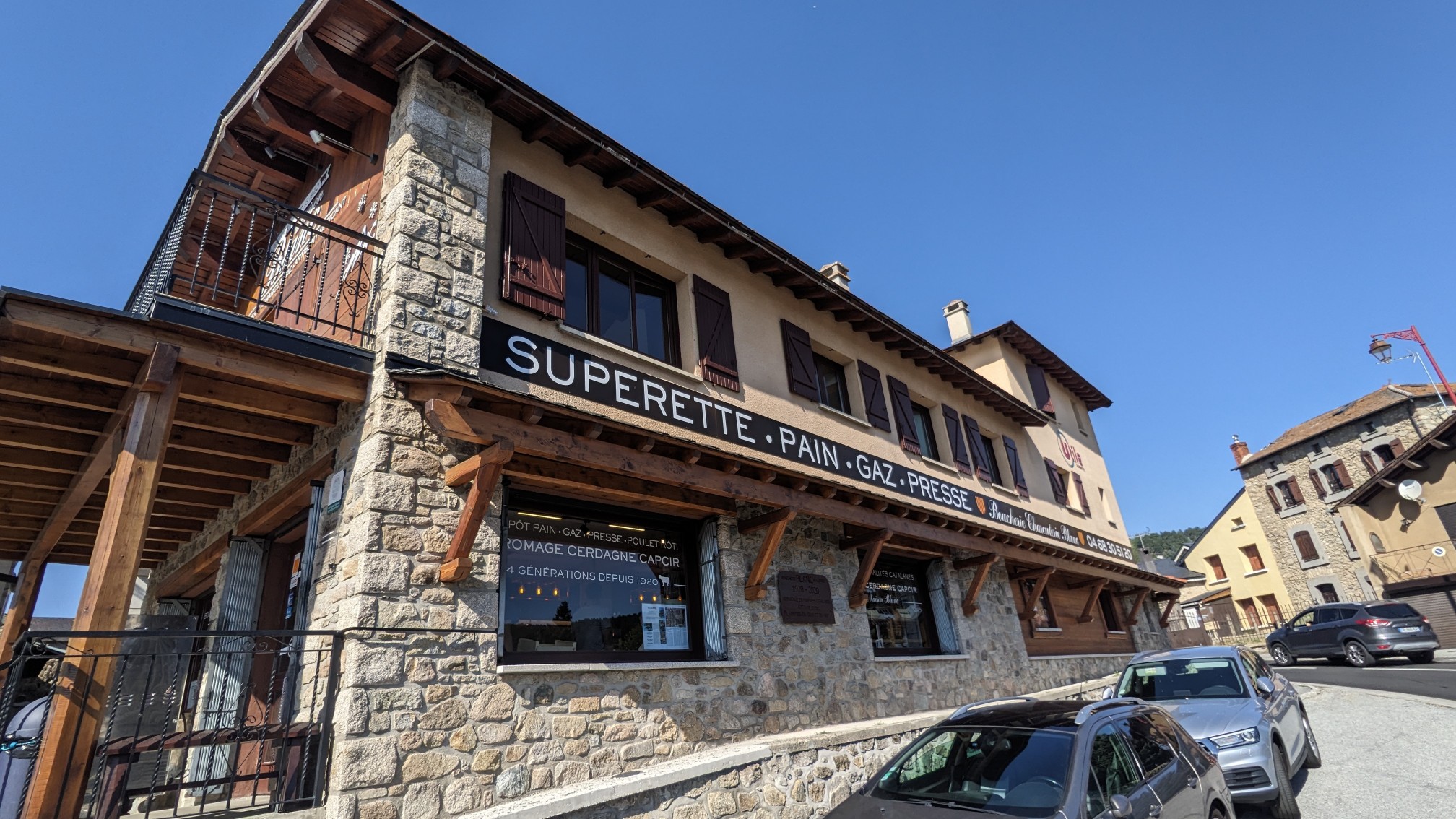
It was a small market, but it had a surprisingly good selection of hiking food…. and even regular food with a full butcher counter, fish counter, and the usual French bakery. I topped up my food supplies, and bought some stuff to eat there at the picnic table. I estimate that I took down about a thousand calories at lunch.
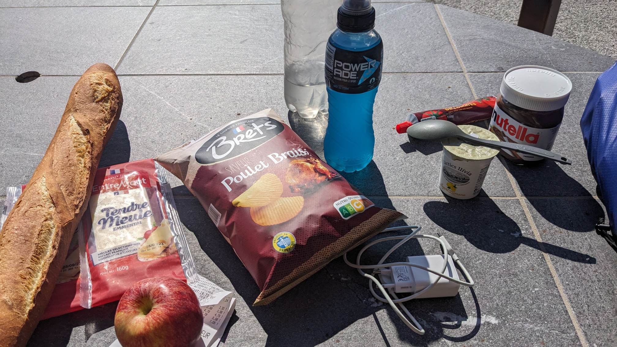
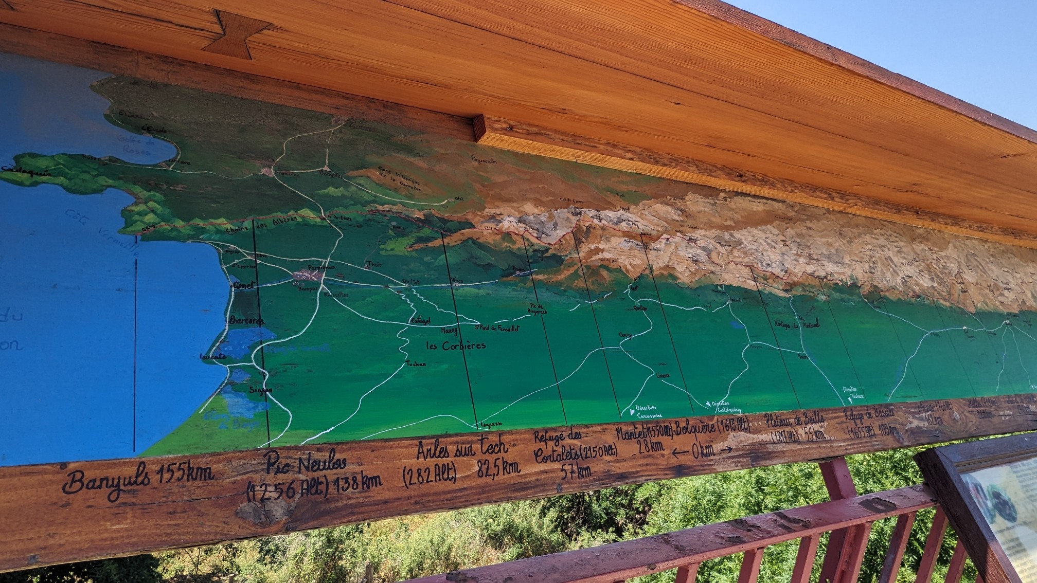
They even let me charge my phone, so I spent about an hour there. I’m not in a big hurry today since there isn’t good camping in the next section (it’s on a ridgeline), so that basically limits me to 6 hours of hiking today. The hike out of the village was picturesque as usual.
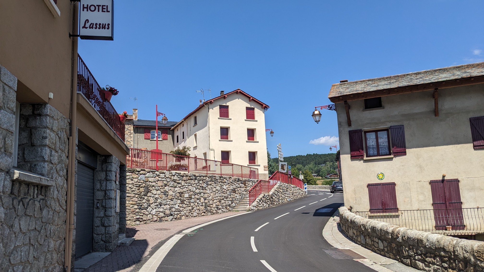
There was another sign for the GR10, (which the HRP runs parallel to) showing the distance to the start and finish. Getting closer!
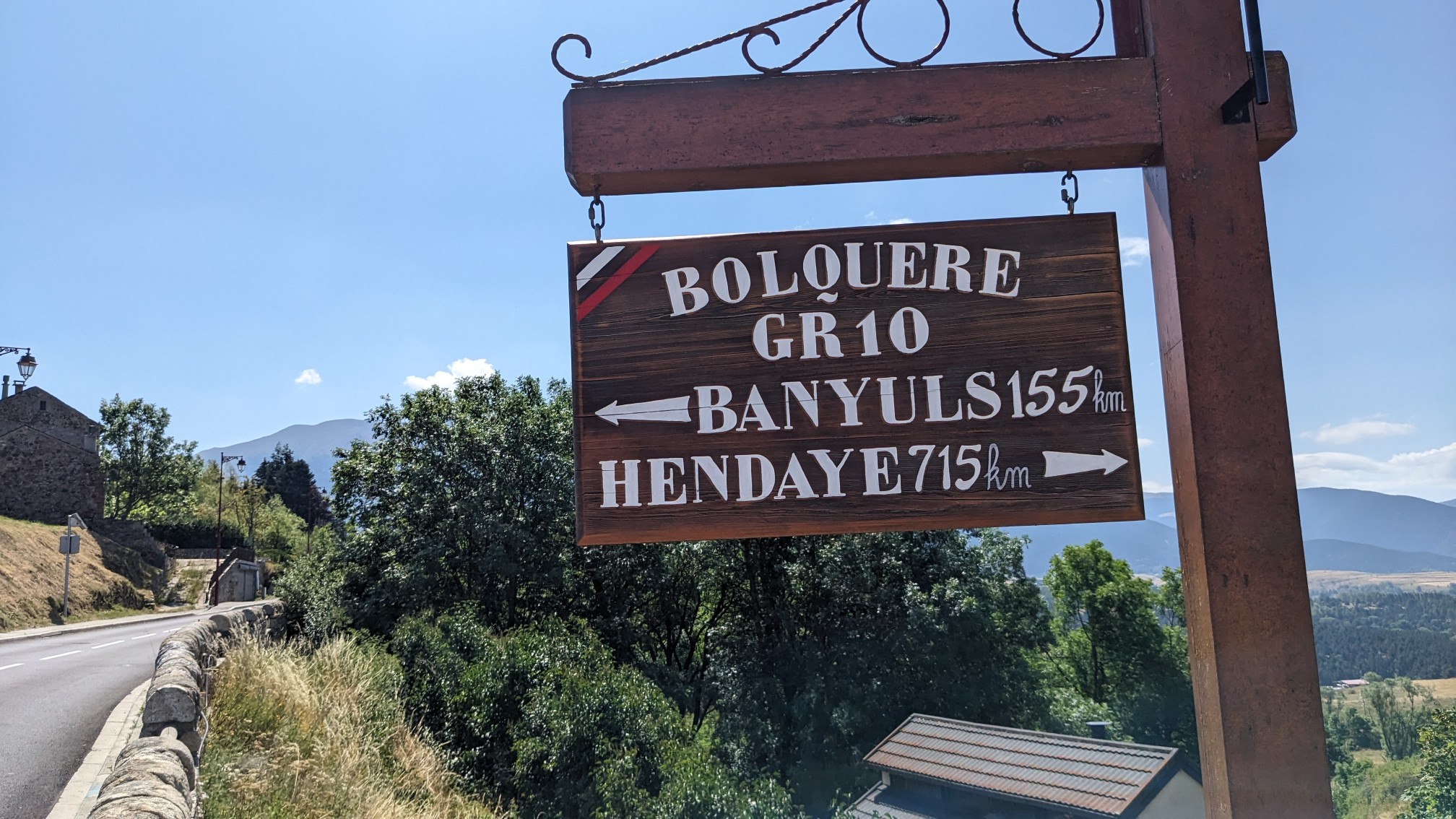
They even had a cool map, showing the entire route from the Atlantic to the Mediterranean.
There was a little more roadwalking to get to Eyne, another small village.
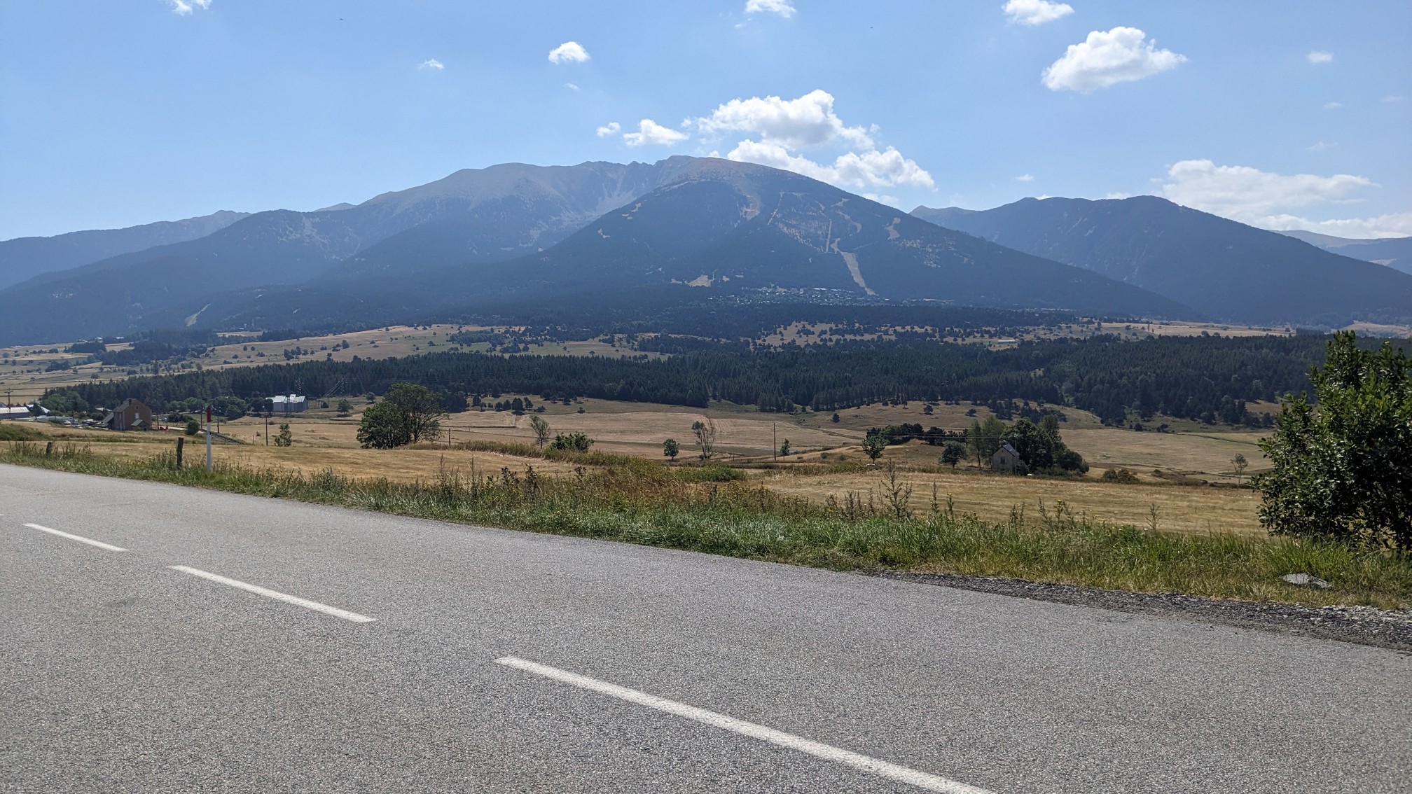
After an hour I came to the village which was only a few hundred meters long. It was only 3pm, so I decided to kill some time at the only open restaurant.
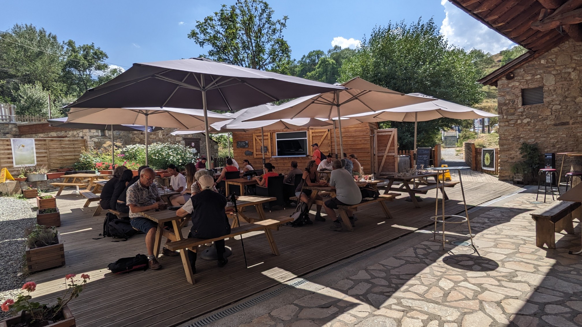
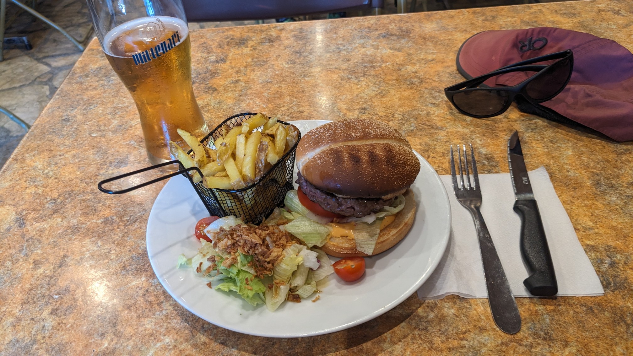
There was a free museum in the same building, so I went to check it out.
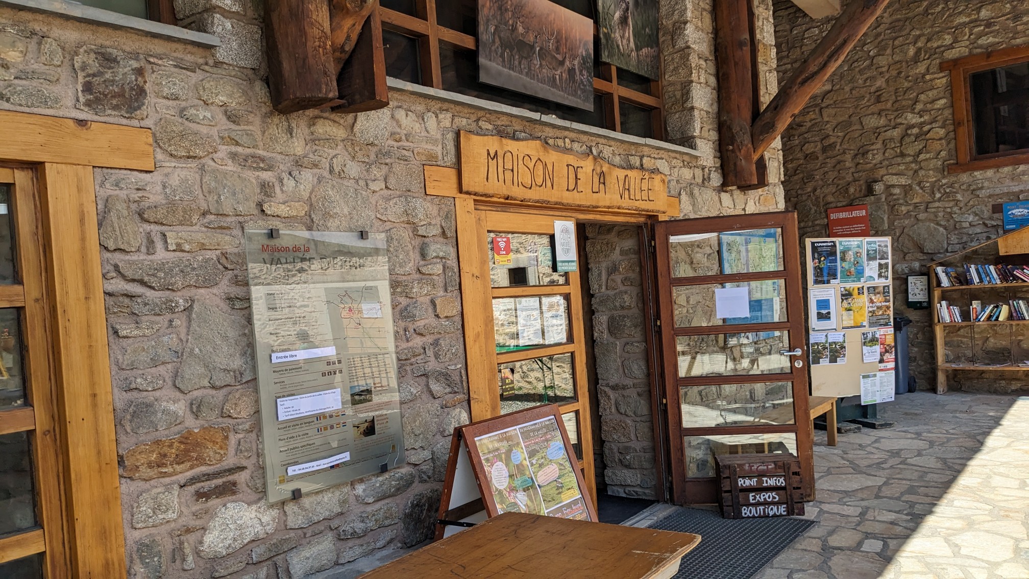
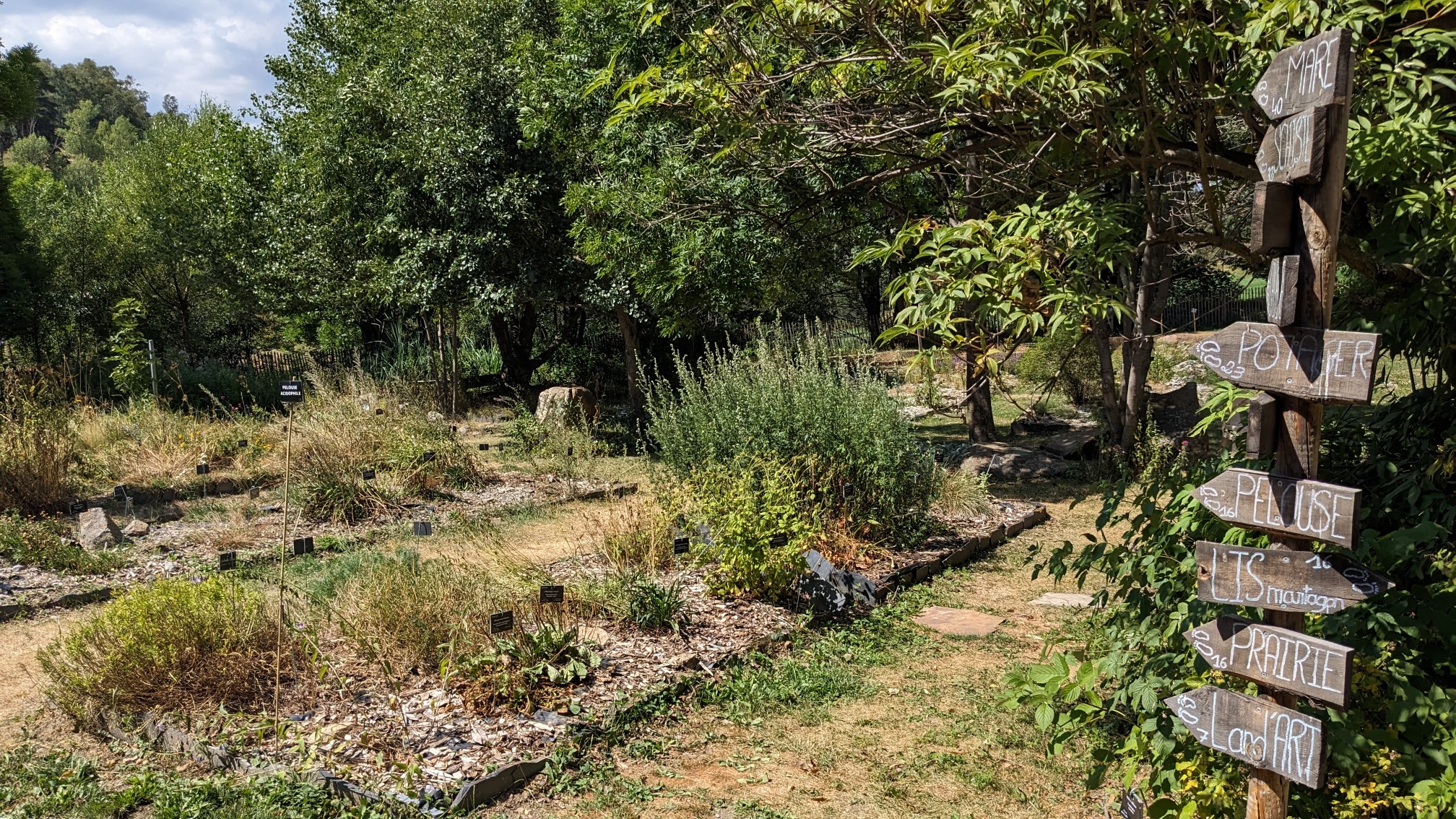
There was a neat little Botanical garden out back.
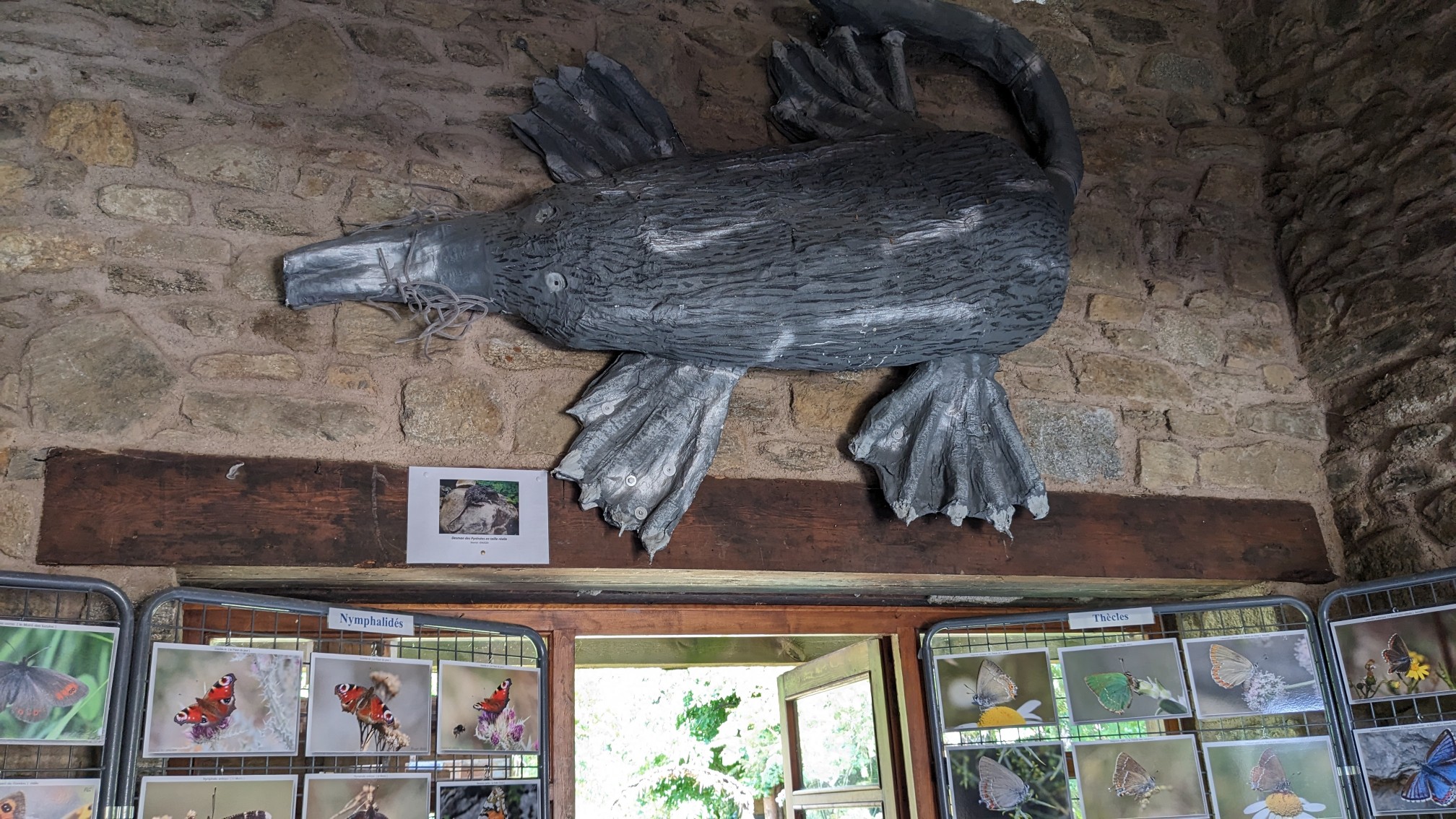
And for some reason a very large carving of an aquatic animal that lives here in the Pyrenees. I asked the museum lady about it, and it is definitely not a platypus….Though I forget the name she said.
The upstairs of the museum had a bunch of displays about the ecology of the area, the history, and the agriculture.
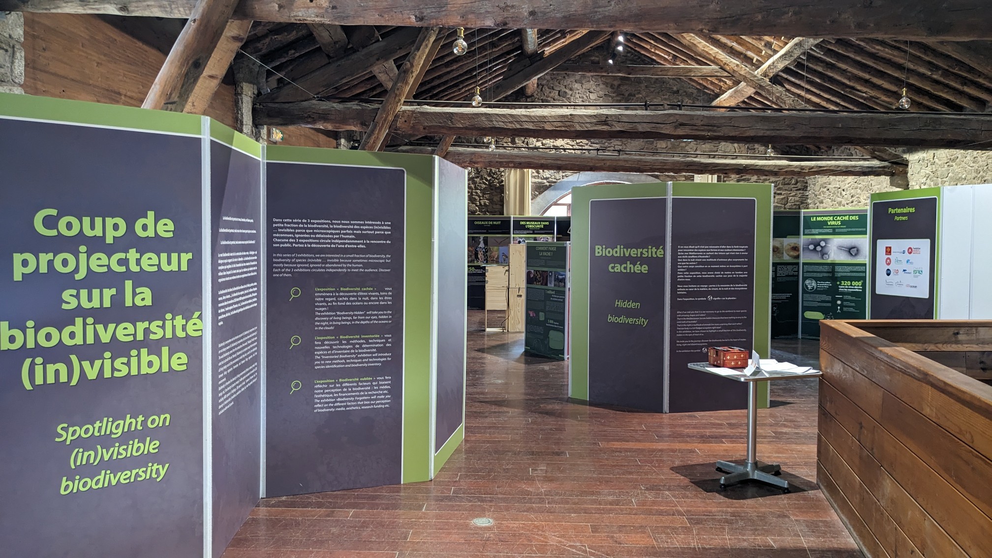
Some of it was in English, but mostly it was just the usual French/Spanish. It takes me a while to read Spanish but I got most of it, and only used my phone for some of the technical words. At 5pm I finally left the area and walked out of town, and up the valley.
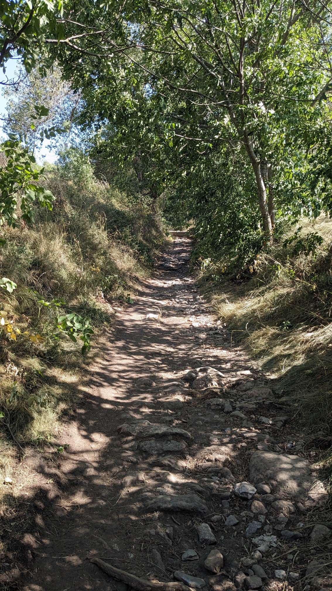
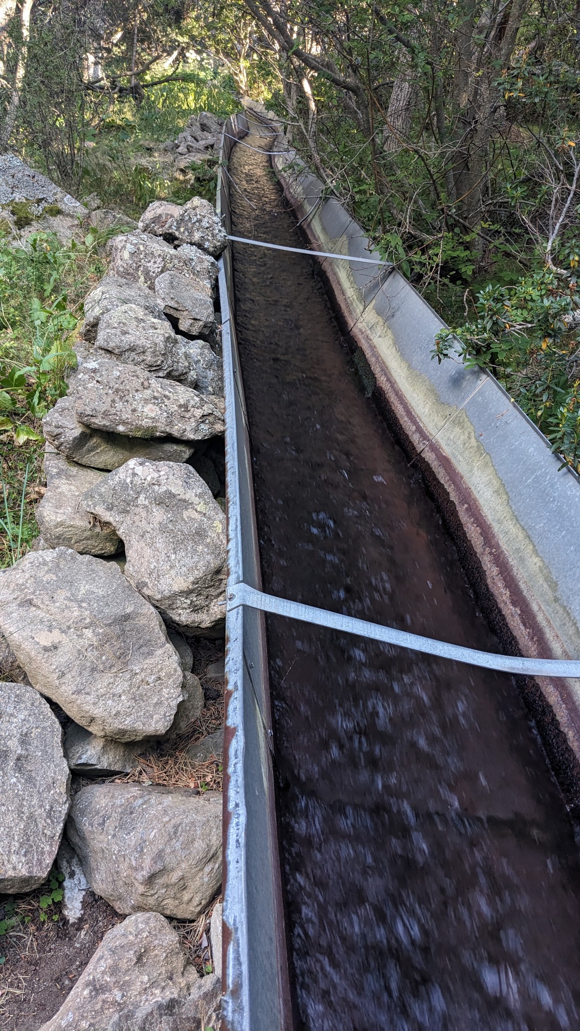
It was in a nice cool forest and up a gentle hill. And for some reason the trail followed this sluice of water.
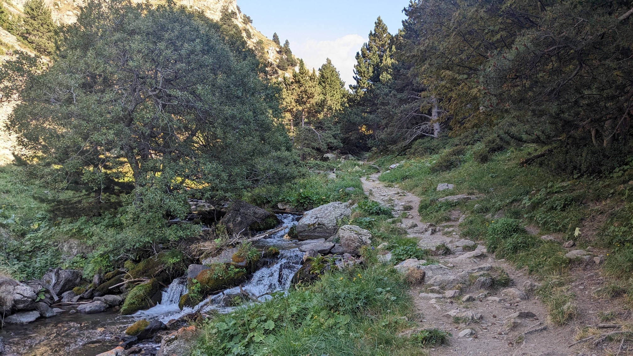
In the first kilometer I saw dozens of families out enjoying the sunny weekend, but after that the crowds thinned and I had the trail to myself.
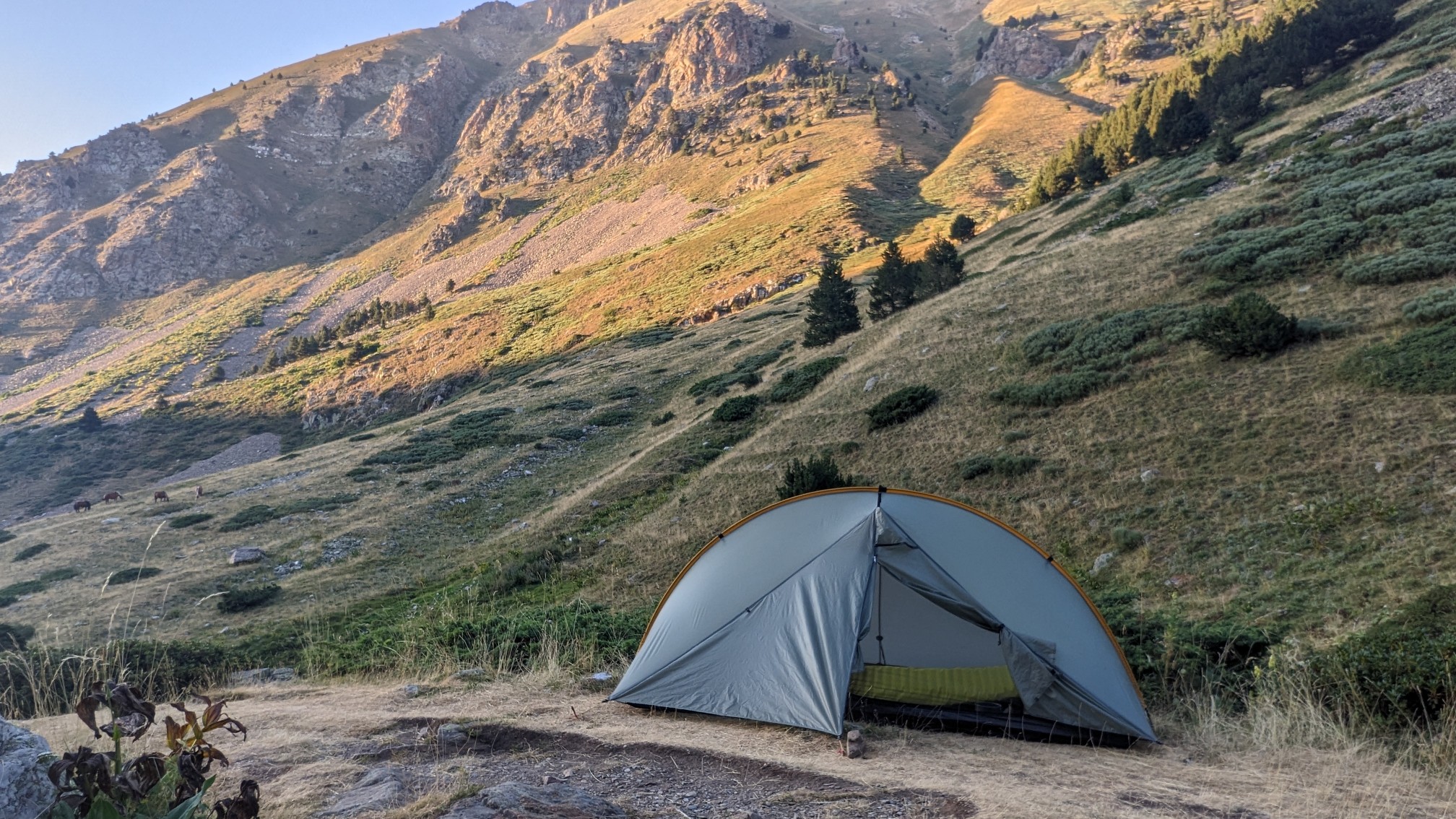
I wanted to walk as far as I could up the valley, but still be camped in the protection of the trees. I identified a few good campsites, and when I didn’t see anything else after 5 minutes, I backtracked to the first campsite.
Tomorrow is supposed to be a very long ridgewalk, so hopefully the weather is good.