Thursday August 17, 36.1km/22.4mi
Mouli Serradou Ruins (737.5km/830m) (France) to Col de l’Ouillat (773.6km/935m) (France)
I was awake pretty early to get started before the heat. I hiked uphill for an hour to the Col Cerda, where I have my first view of this morning’s high point, Roc de Frausa.
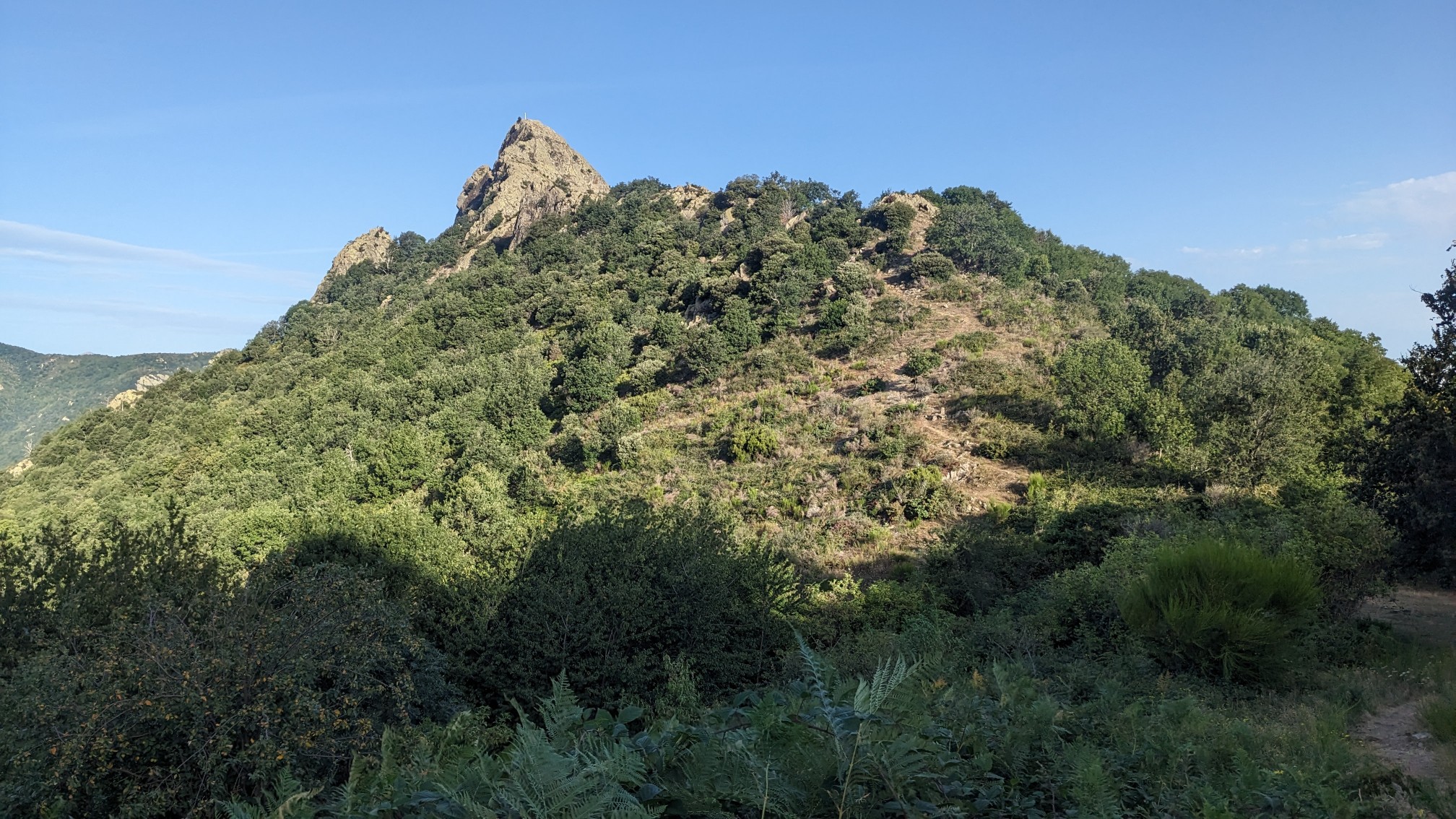
The path climbed steeply up the ridge, through brush and then into a nice forest.
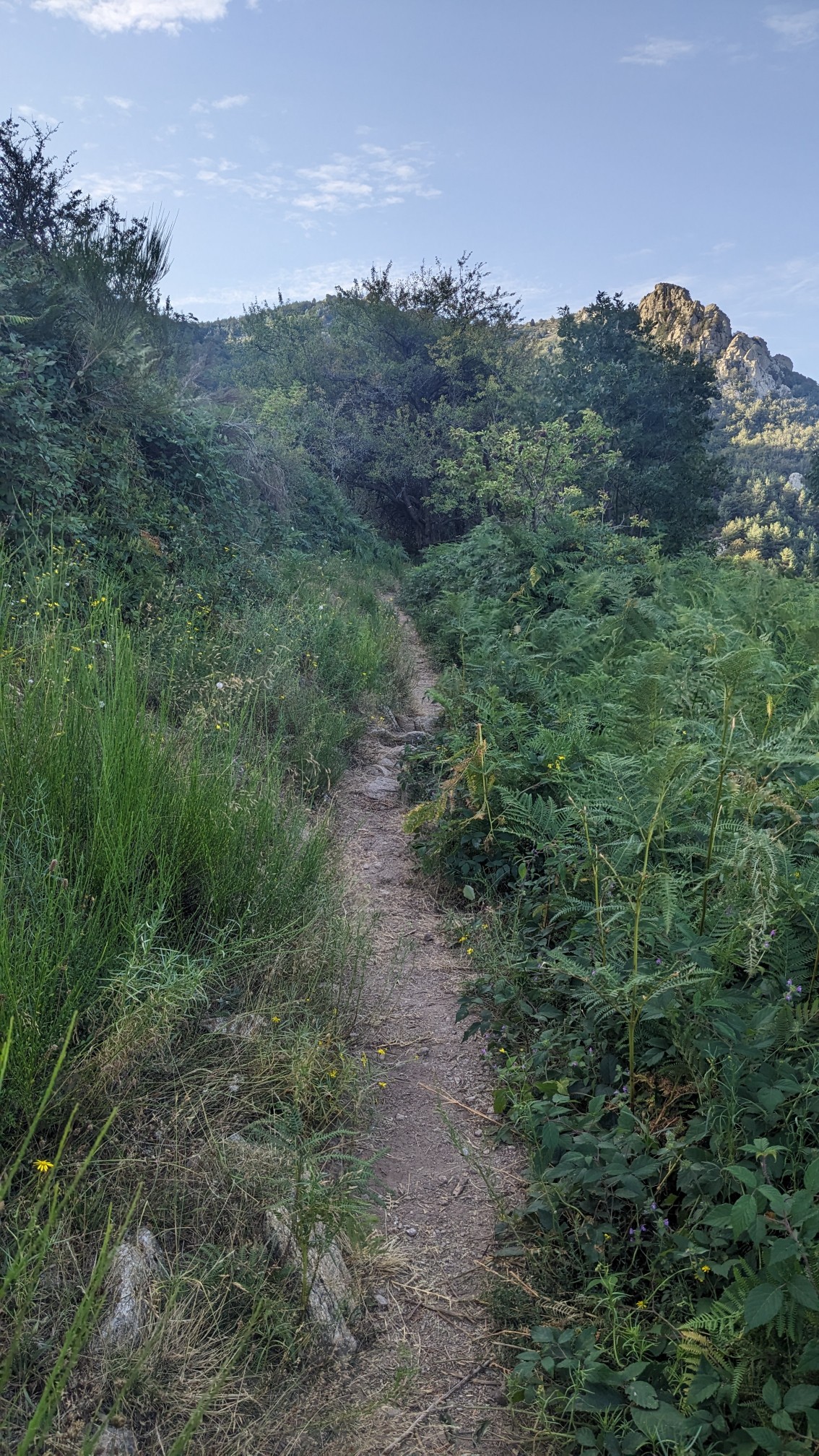
After an hour of uphill I was at the top!
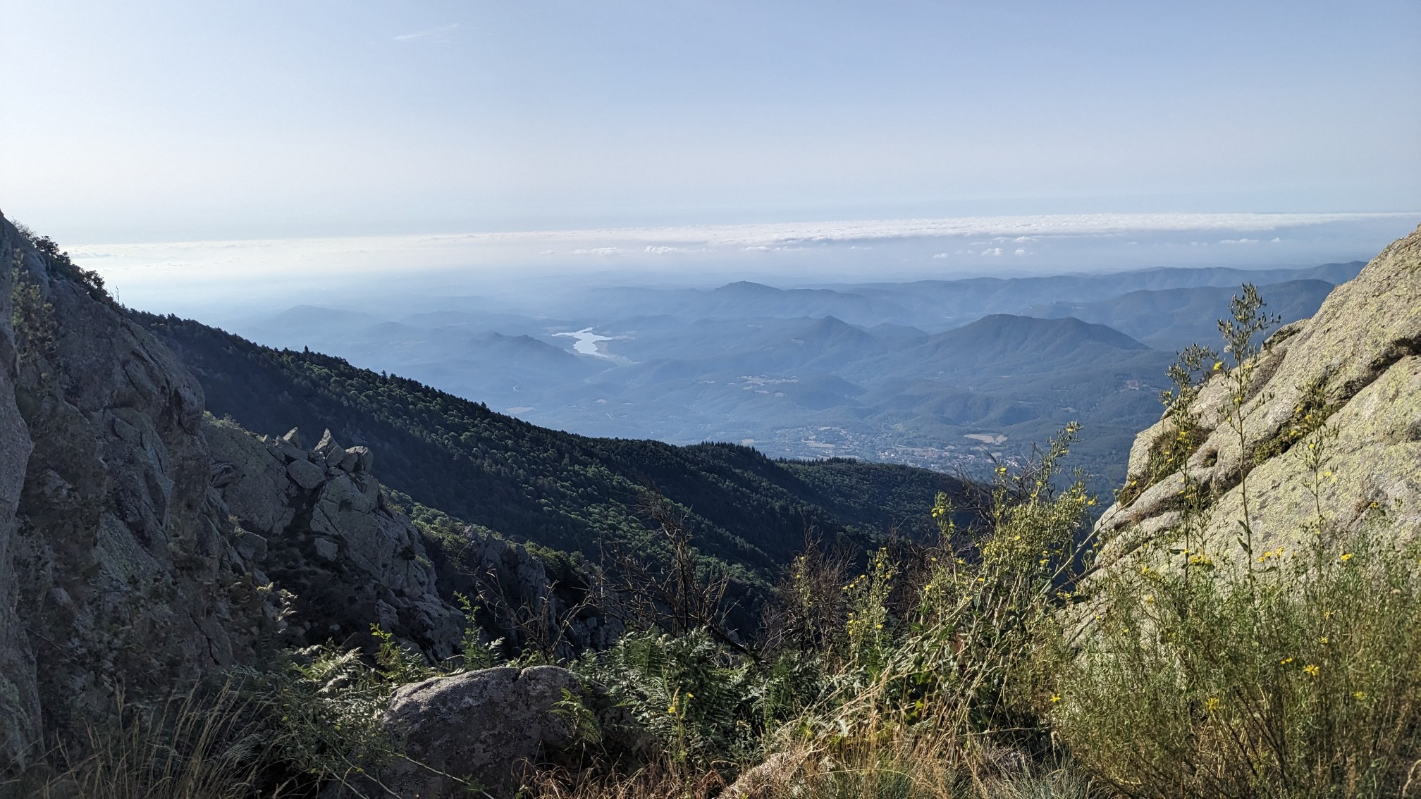
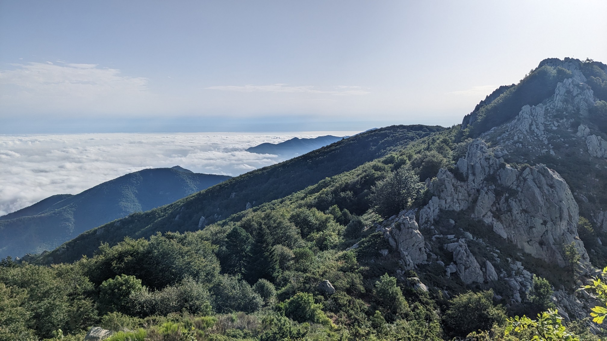
The views south into Spain were pretty neat, but the views north into France had this amazing undercast layer of clouds.
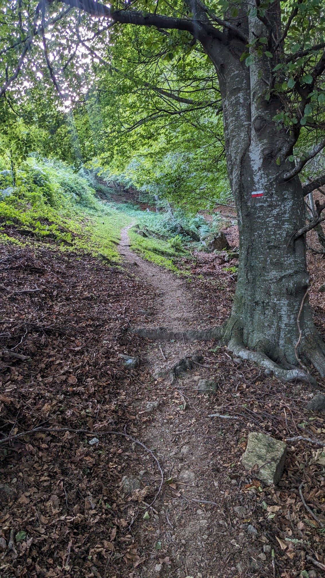
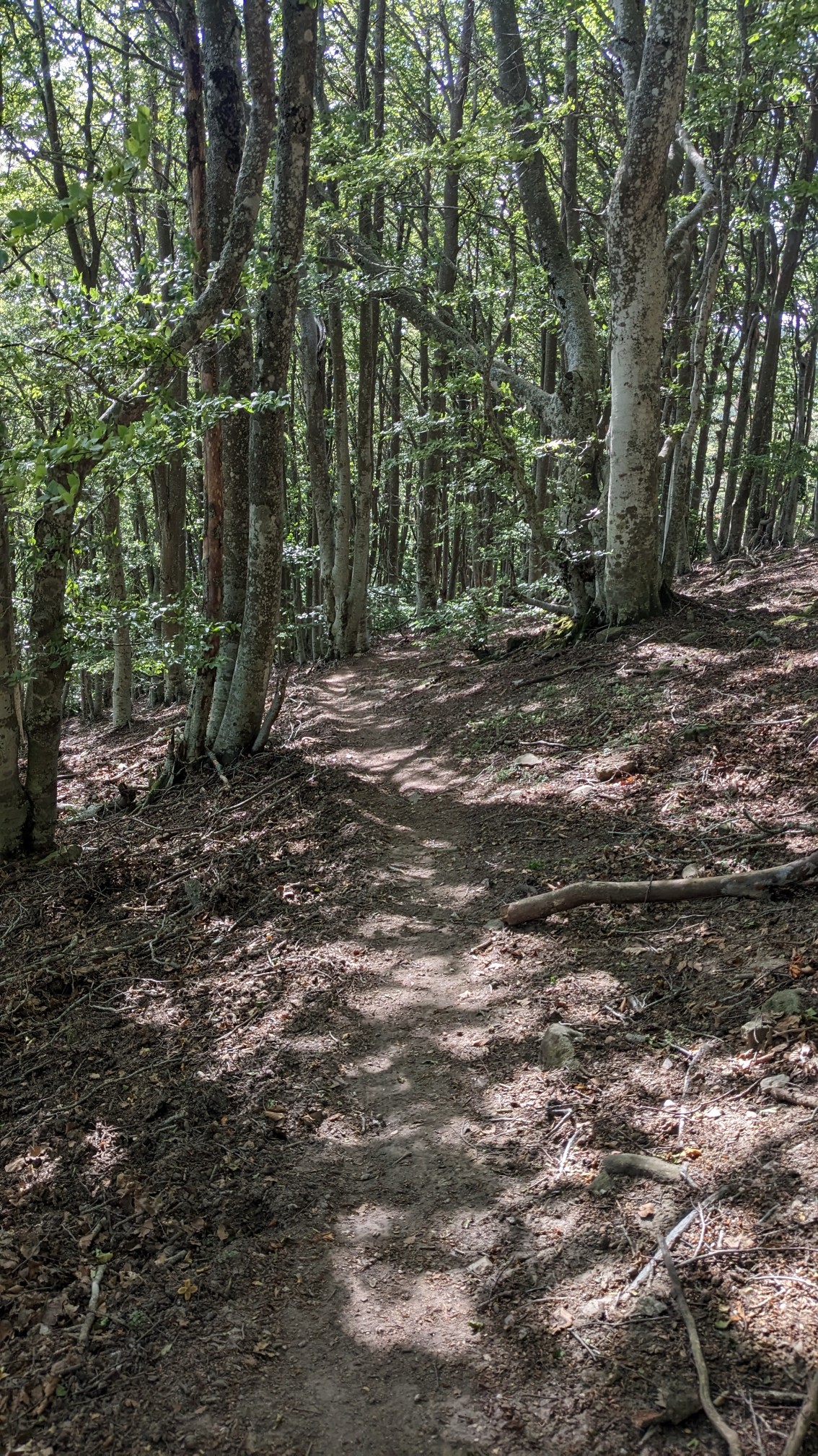
I descended thru a nice beech forest, which kept the temperatures nice and cool.
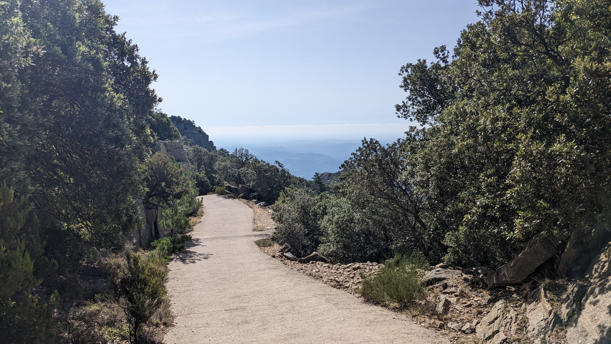
After awhile I emerged onto a small paved path, which continued all the way down into some farmland.
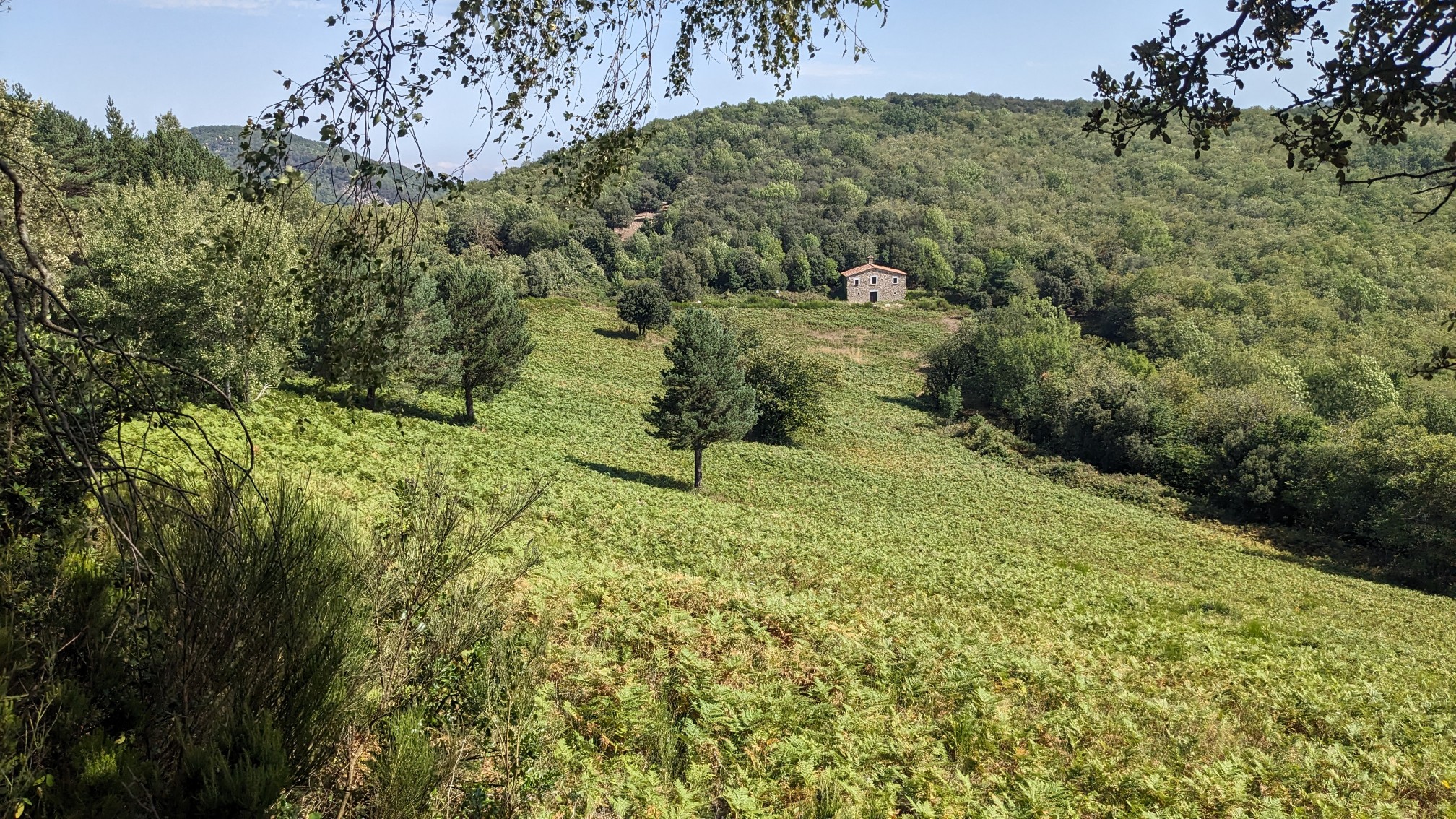
At this lower elevation it was a little warmer but still not hot, which was a nice surprise.
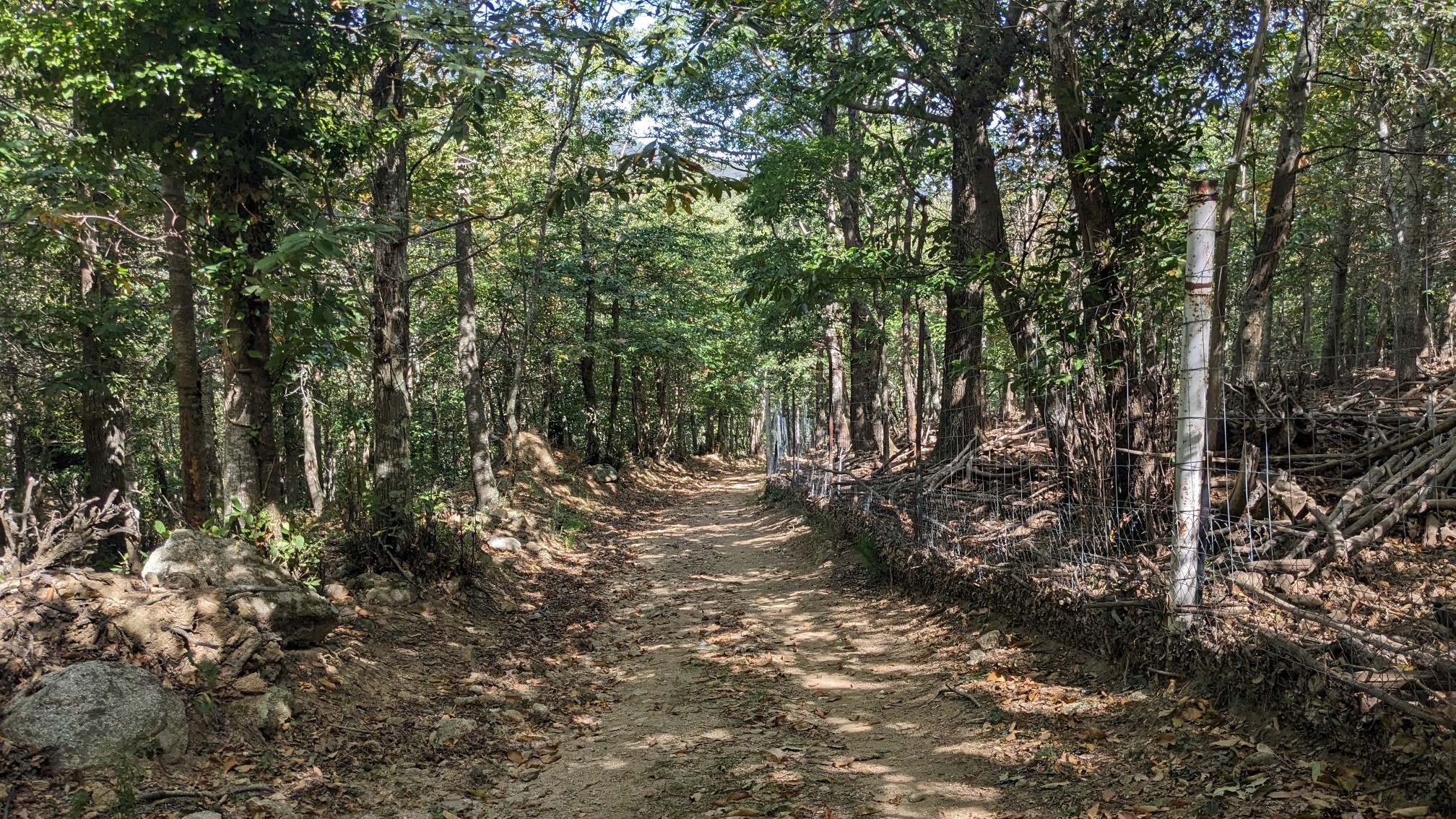
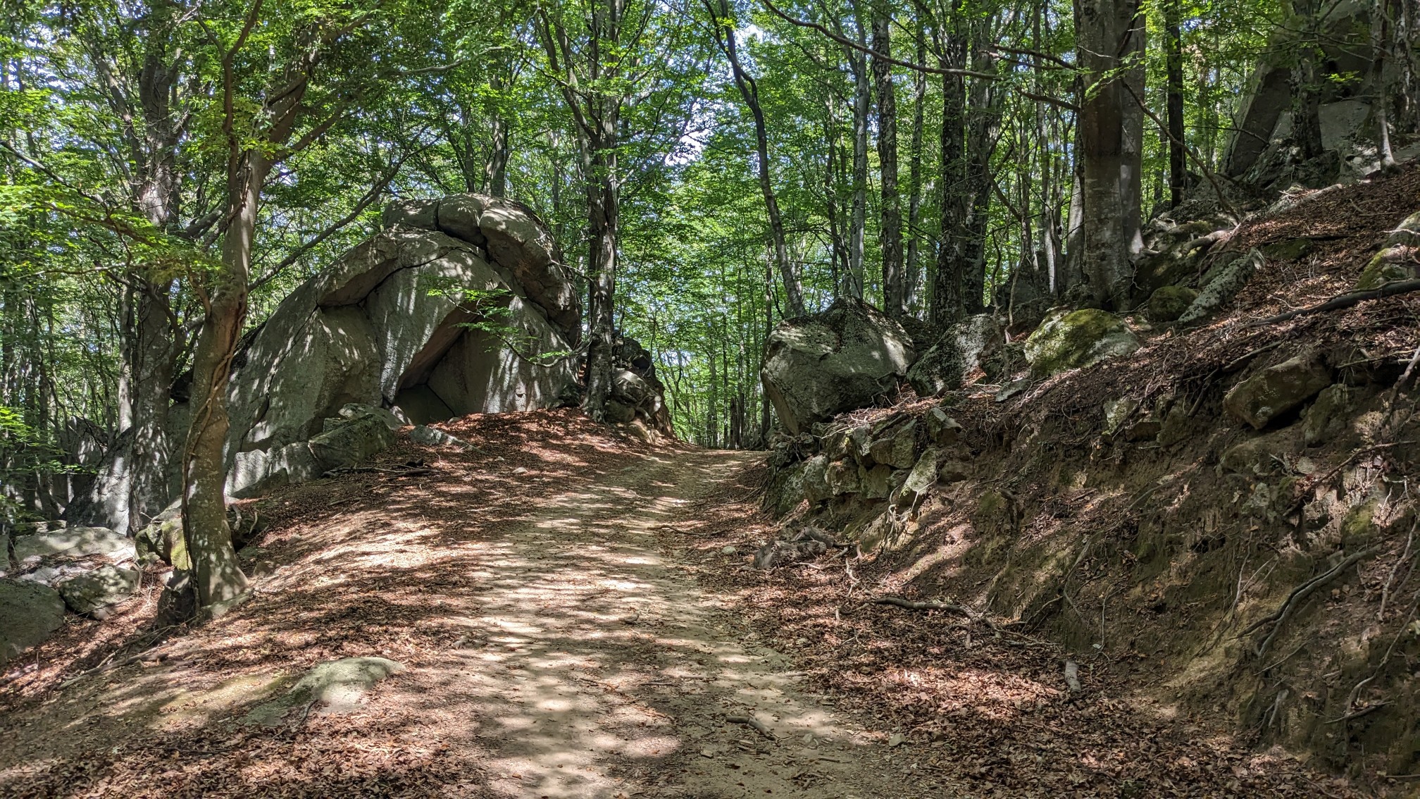
For about an hour I was on a wide 2-track through a dense forest, and I was just enjoying the morning in the shade.
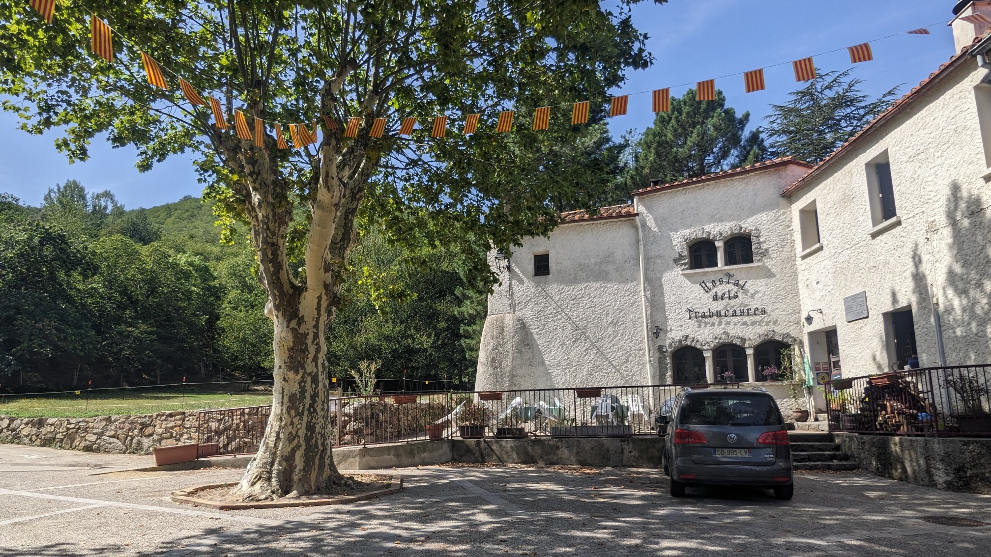
Just before lunchtime I came into the small village of Las Illas. The first building I passed was the Hostal dels Trabucayres, a nice little refuge.
I walked a minute further to the village’s central park, which had free camping and even a shower for hikers!
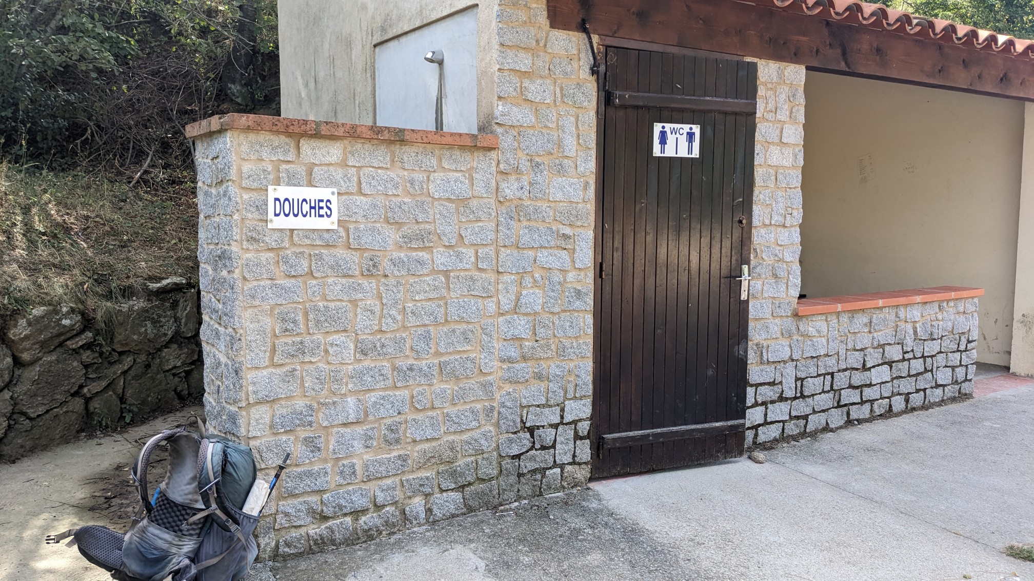
It was a cold shower but after a few minutes of bravery, I was nice and clean. Afterwards I sat and ate my final lunch on the trail. The afternoon went by quickly since the hiking was mostly on old dirt roads.
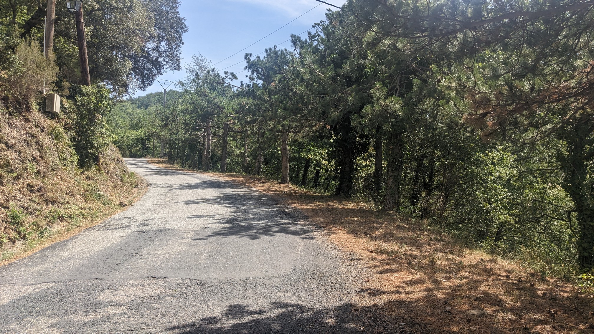
There isn’t any mountainous terrain or even public land in this area, so the route sticks to old roads.
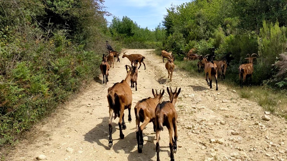
Sometimes those old roads are popular with migrating animals as well, haha. I followed these guys for at least five minutes before they decided to turn off into the forest.
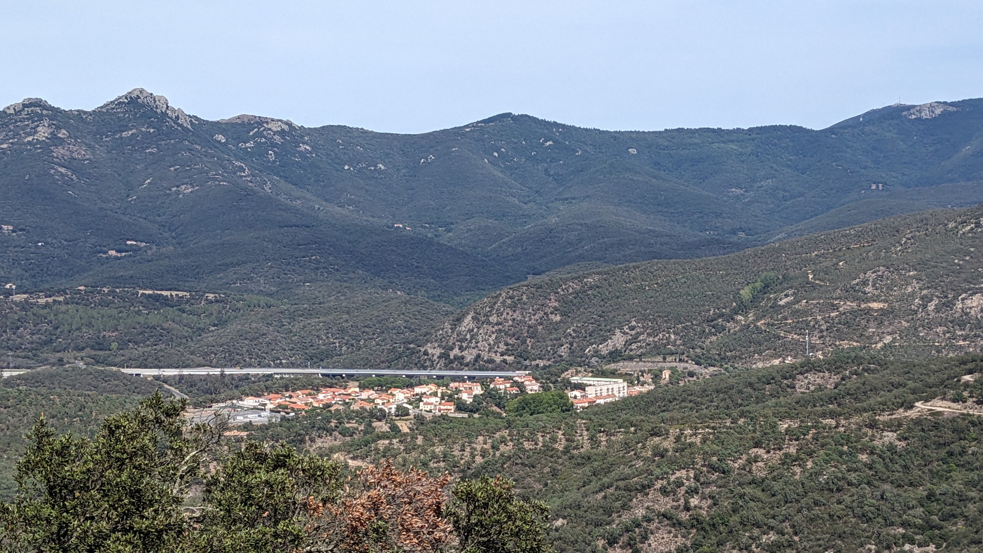
I had been descending all afternoon, into a valley with another town. This one was actually pretty big, Le Perthus.
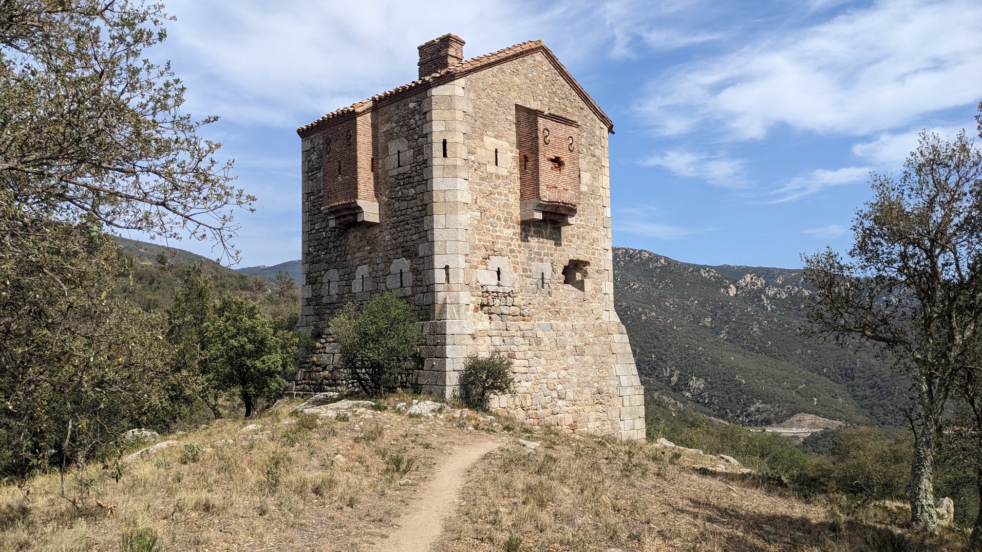
I passed by this neat old stone building and I have no idea what it is, but it just looked cool.
I got into Le Perthus at 4pm, and it was a shocking experience. There were people, cars, and noise everywhere and I couldn’t wait to leave.
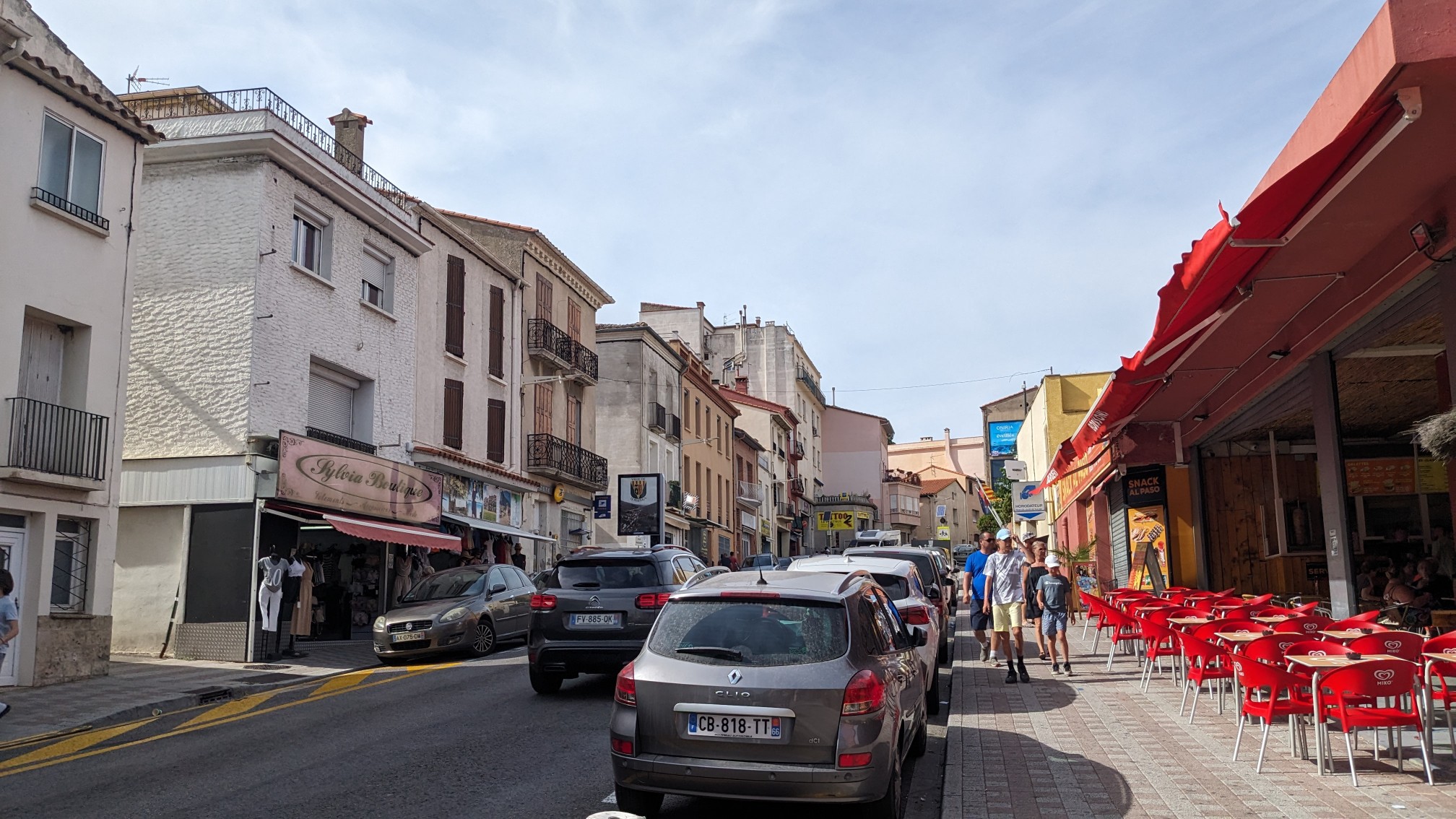
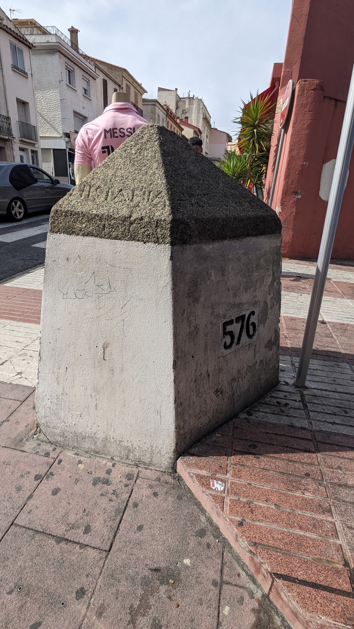
But first I had to buy a couple of groceries for the last day on trail. When I was entering the grocery store, some employee kept saying something to me angrily in French… I asked if she spoke English or Spanish…nope. Eventually a customer came by and translated, she didn’t like my backpack. I wasn’t leaving it by the front door to have it stolen so I just left the store. I bought a cold gatorade and some snacks at a store nearby and then left town as quickly as I could. There was a neat border stone in the middle of town, I have been seeing these stones since the start of the hike, they mark the boundary between Spain and France.
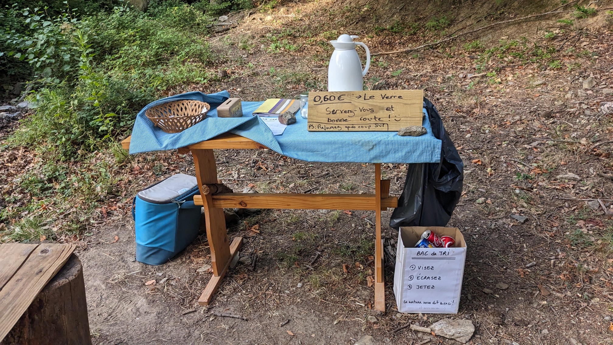
I had a couple hours of uphill hiking to get to my planned camp spot at a refuge. Along the way some generous locals (trail angels) had left a table and cooler with cold drinks for hikers. Awesome!
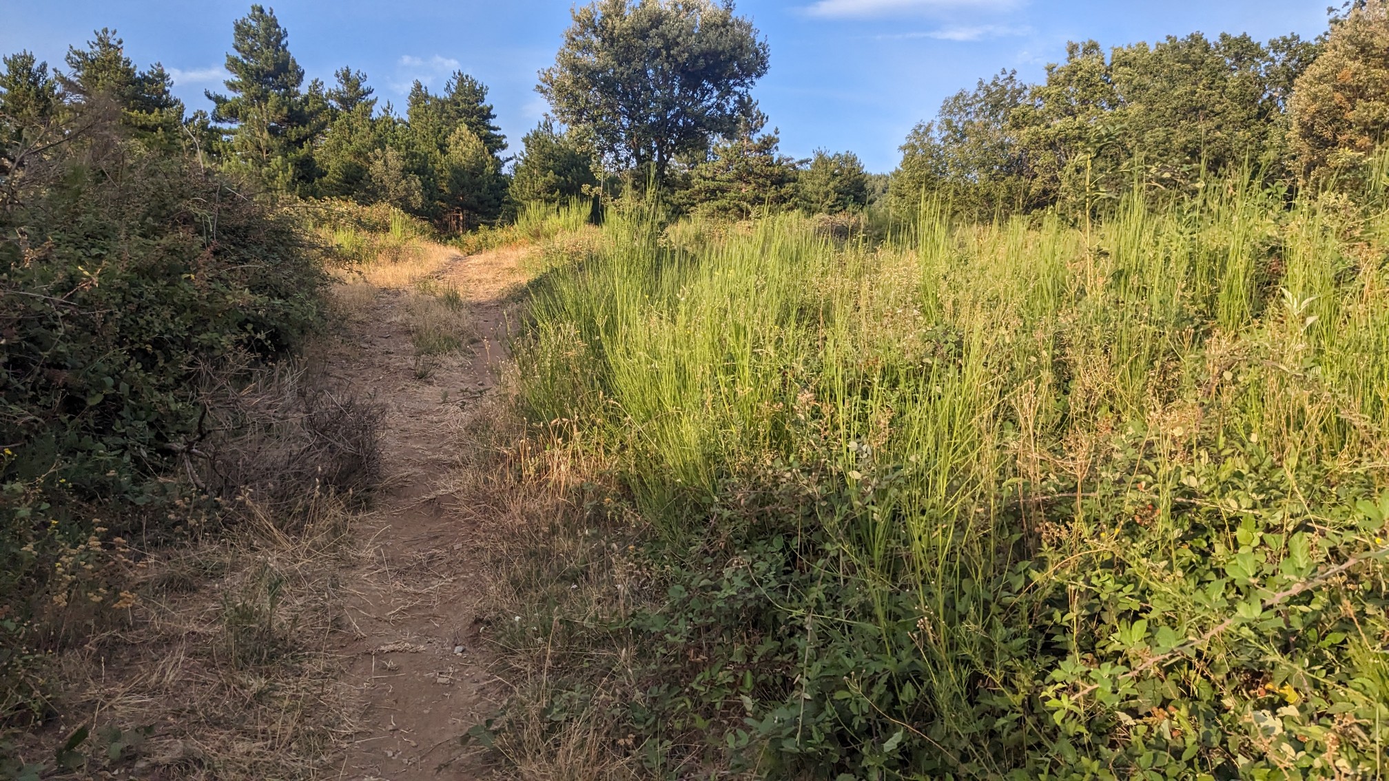
Since it was later in the afternoon, even the uphill climb didn’t feel hot.
I came upon two other guys from France, and hiked with them for the rest of the day. The time flew by and before I knew it I was at Col de l’Ouillat. The two guys had dinner reservations and joined their friends at the refuge there, and I went over to the meadow to set up my tent and make dinner. Afterwards I went over to the refuge to charge my phone, and one of the employees offered me an ice cream! Amazing final night on this trail.
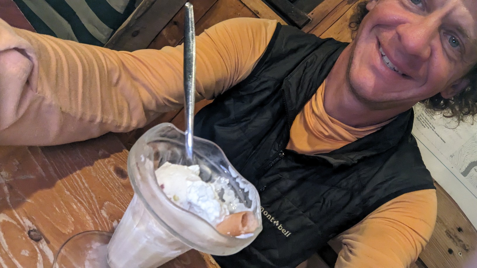
I finished my dessert and had a nice evening in the refuge chatting with some of the other people who could speak Spanish. I went back to my tent at 9pm, and fell asleep pretty quickly.