Thursday October 19, 36.4km/22.6miMarshall Lake Trailhead (236.6/7150ft) to Wallace Spring (259.2/7370ft) (AZ)I was awake at 6:30am, and wasn’t in a hurry to leave since I knew TopShelf had to catch up. I finally rolled out of camp at 7:15 and saw the “lake” that I had camped near.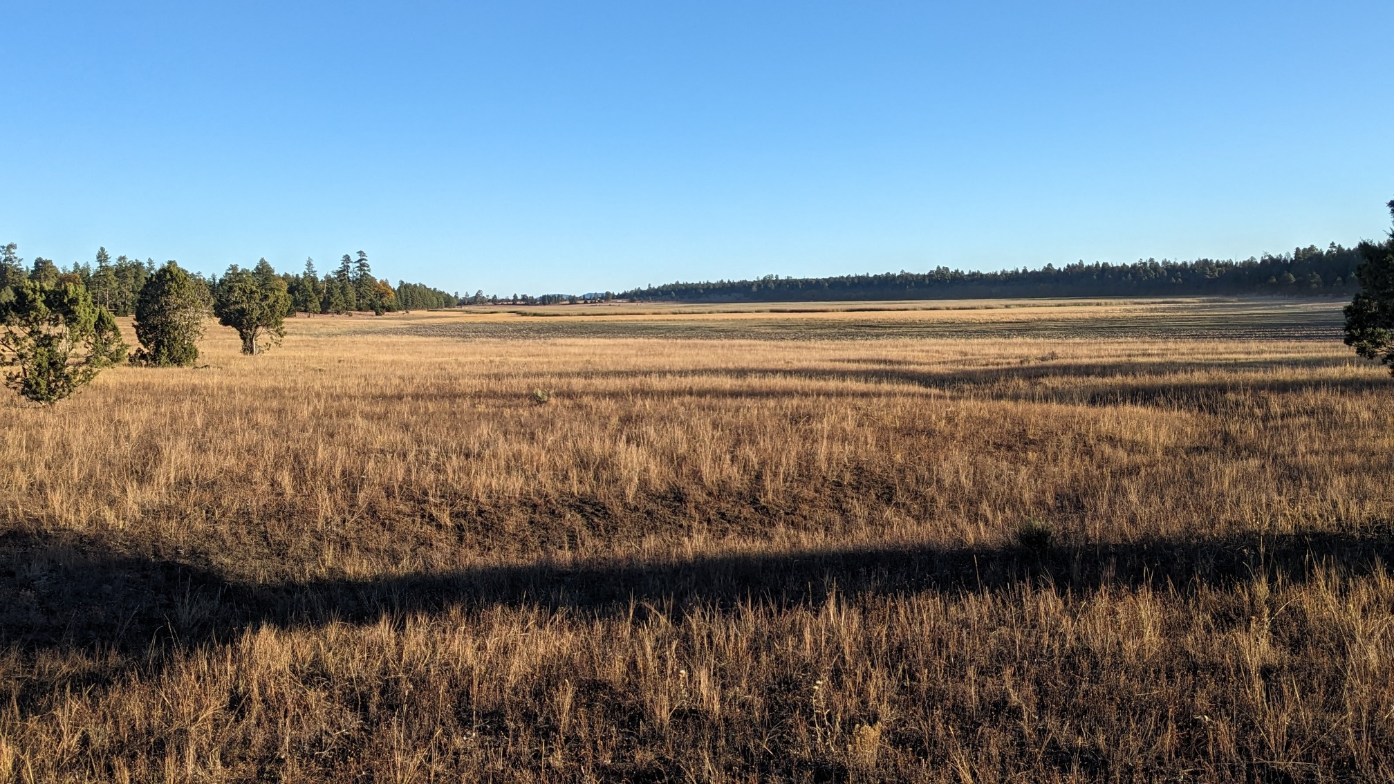 Marshall Lake was little more than a damp marsh! I hiked another mile and came across a familiar sight, the Lowell Observatory.
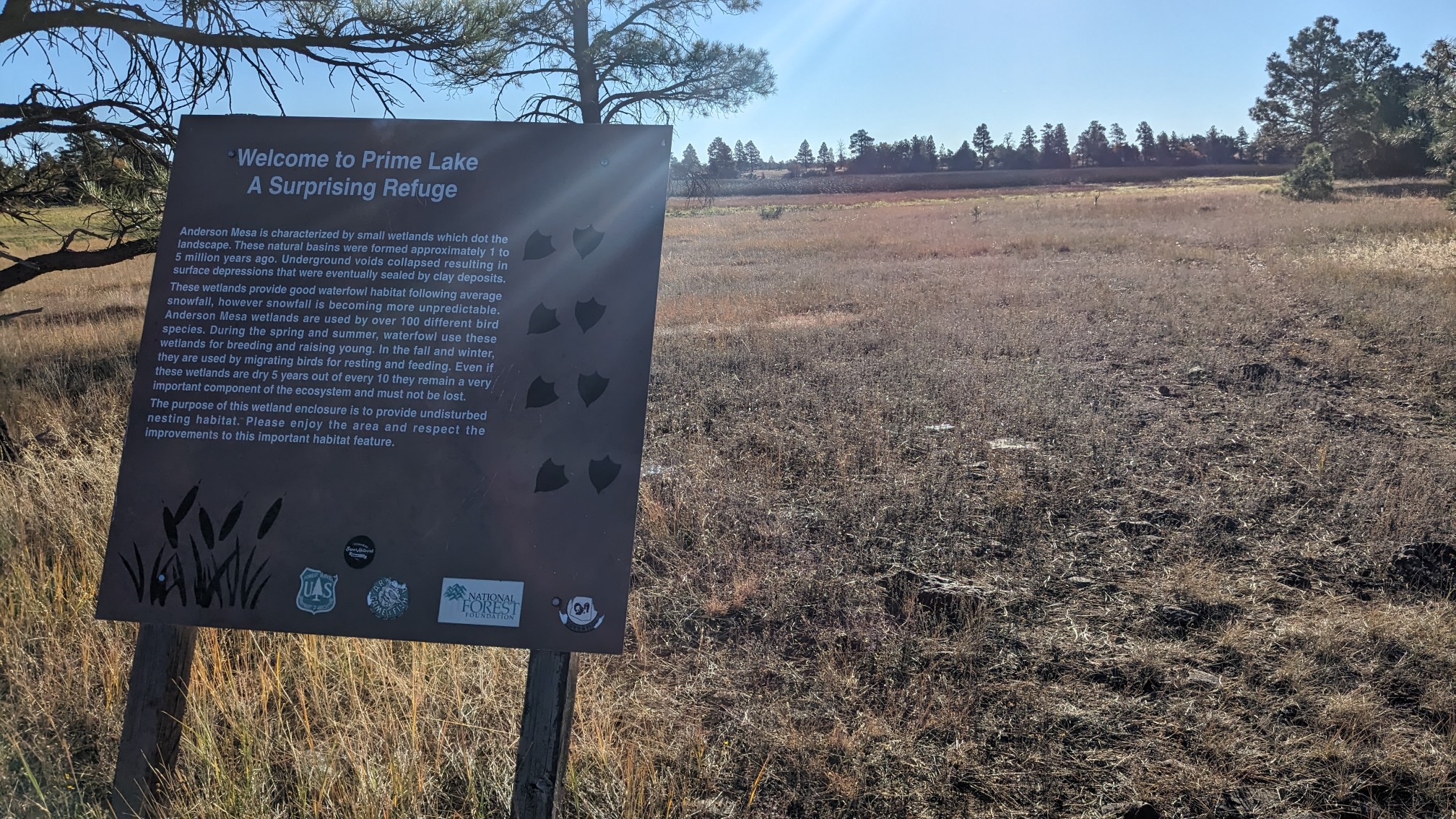
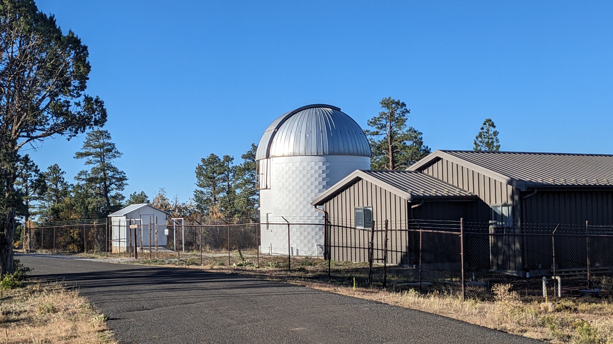 I realized that I had been here before, on a car trip a few years ago, and camped nearby. A little further down the trail, and I saw Prime Lake, an intermittent lake that attracts tons of migrating birds every fall. It was very loud, I could tell it was a popular avian social scene.
 The rest of the morning was an uneventful hike along the top of Anderson Mesa, with occasional views down to Lake Mary.
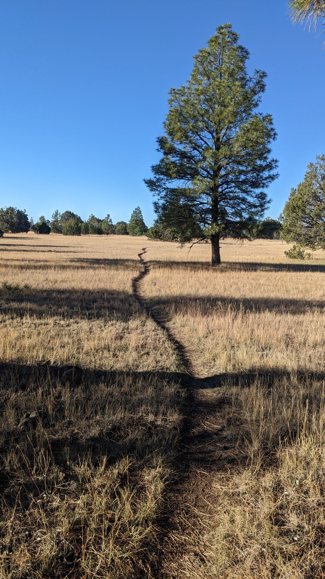
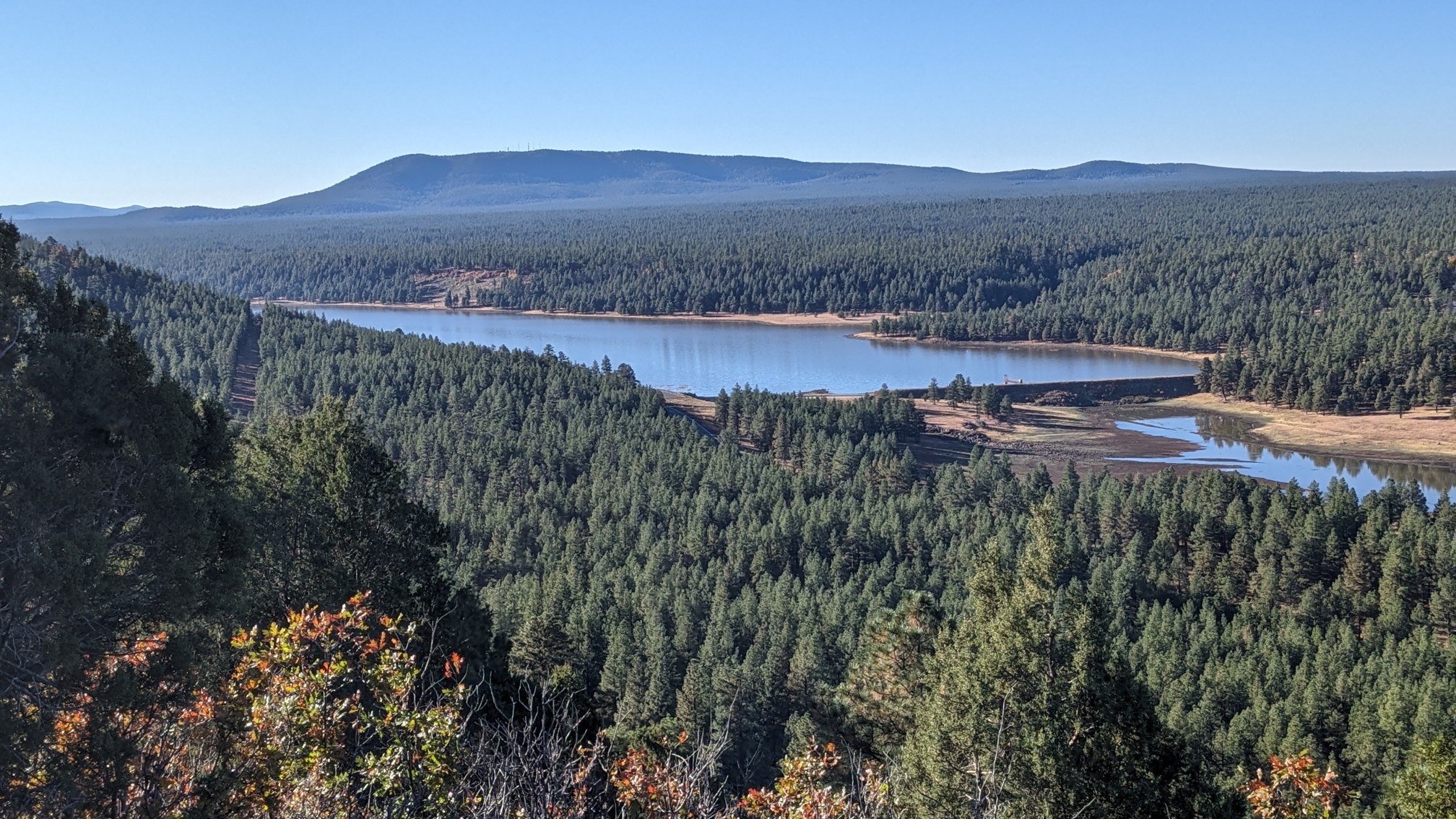
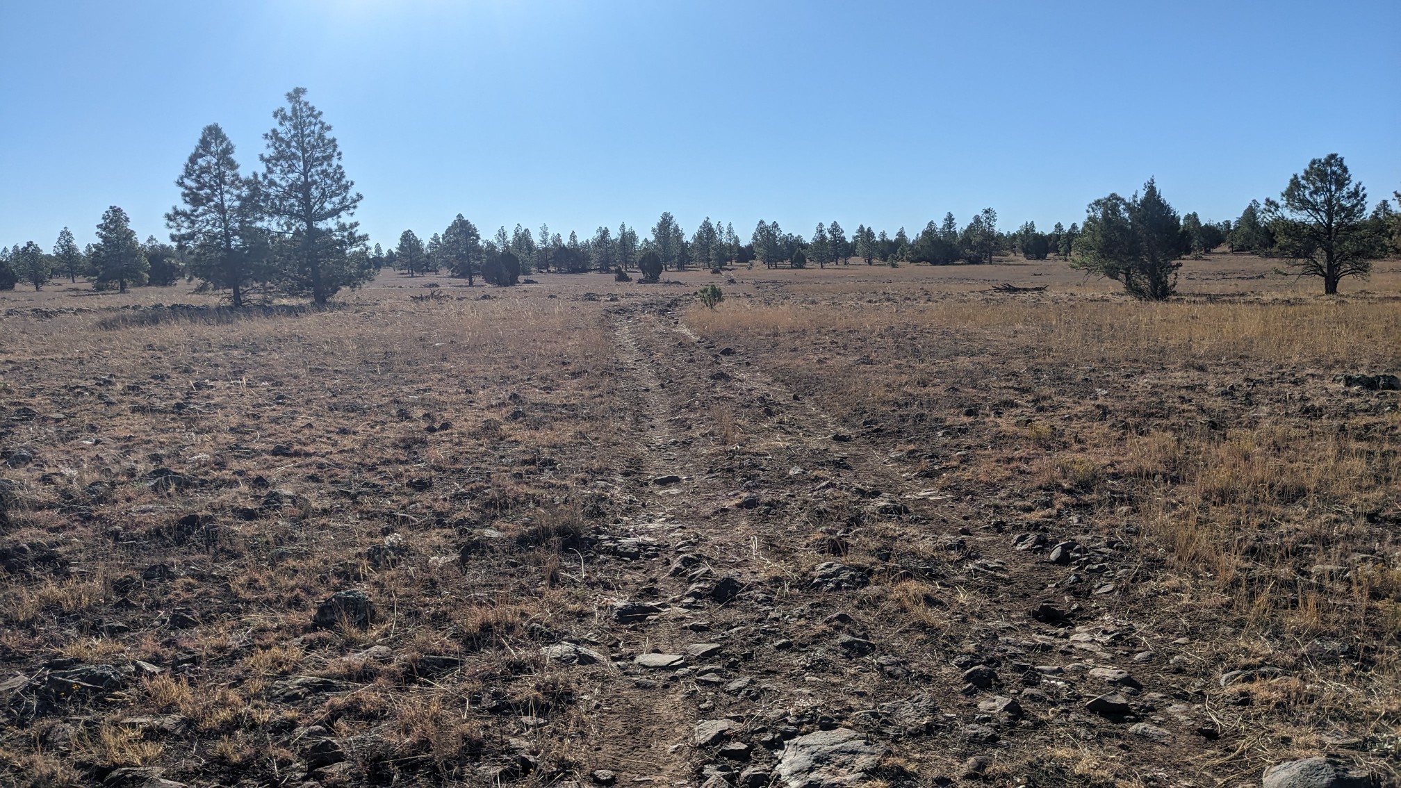
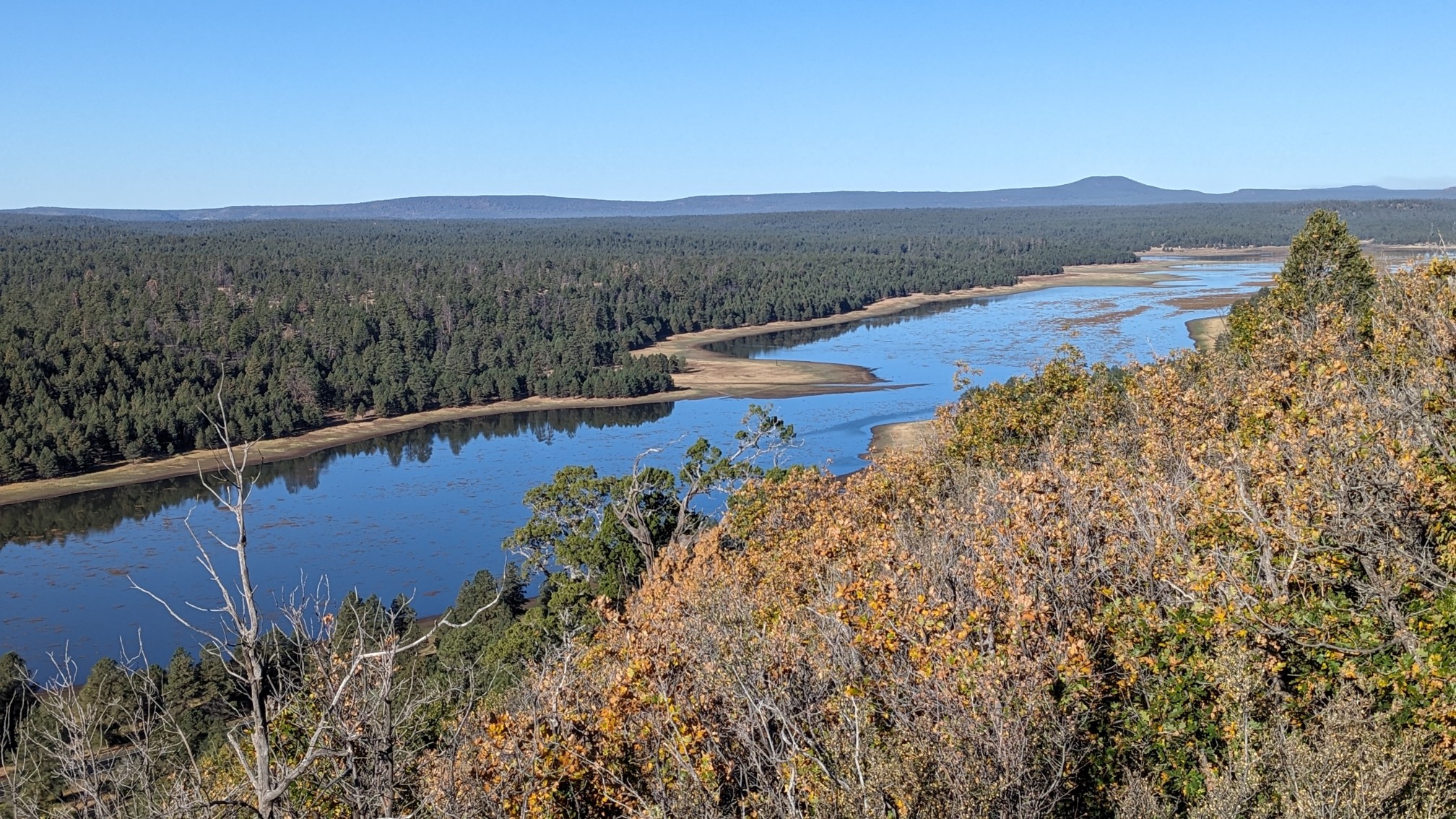 The soil was very rocky and volcanic, which makes for a rough trail. But it was flat and easy hiking.
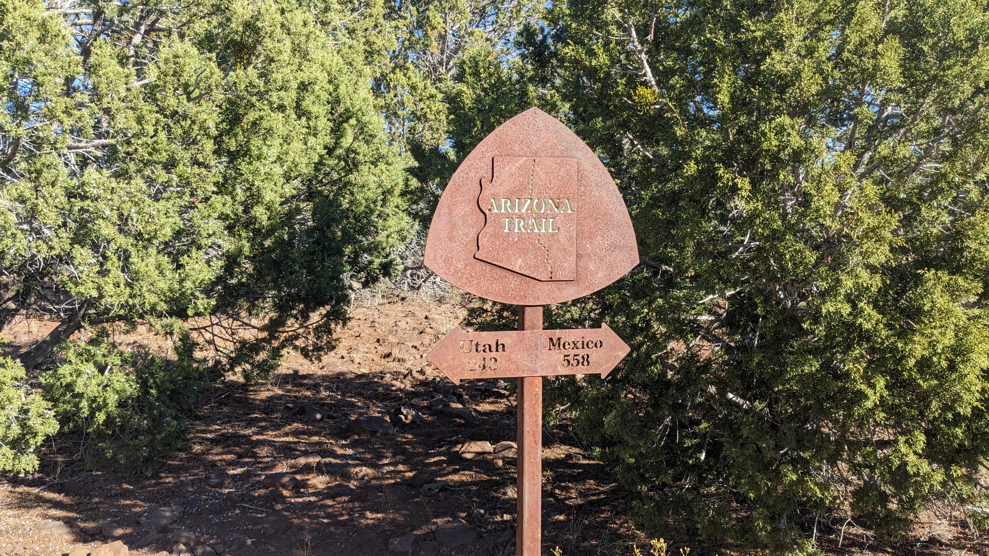
 We’ve come 243 miles since leaving Utah!
 I stopped at Horse Lake to refill my water, and after 20 minutes TopShelf caught up.
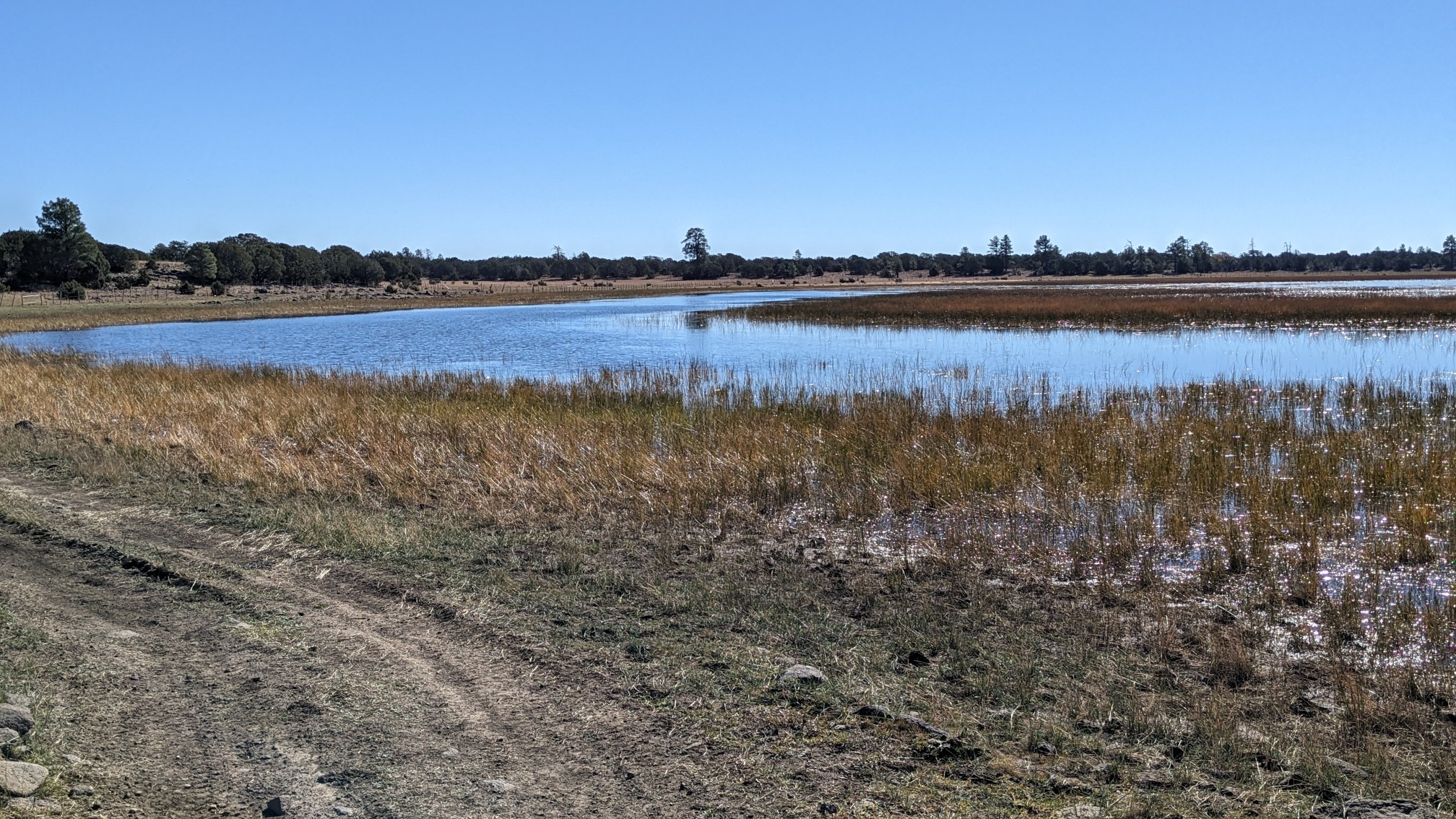 By the time we left the lake, I could see smoke from the prescribed burn taking place just to the west of us.
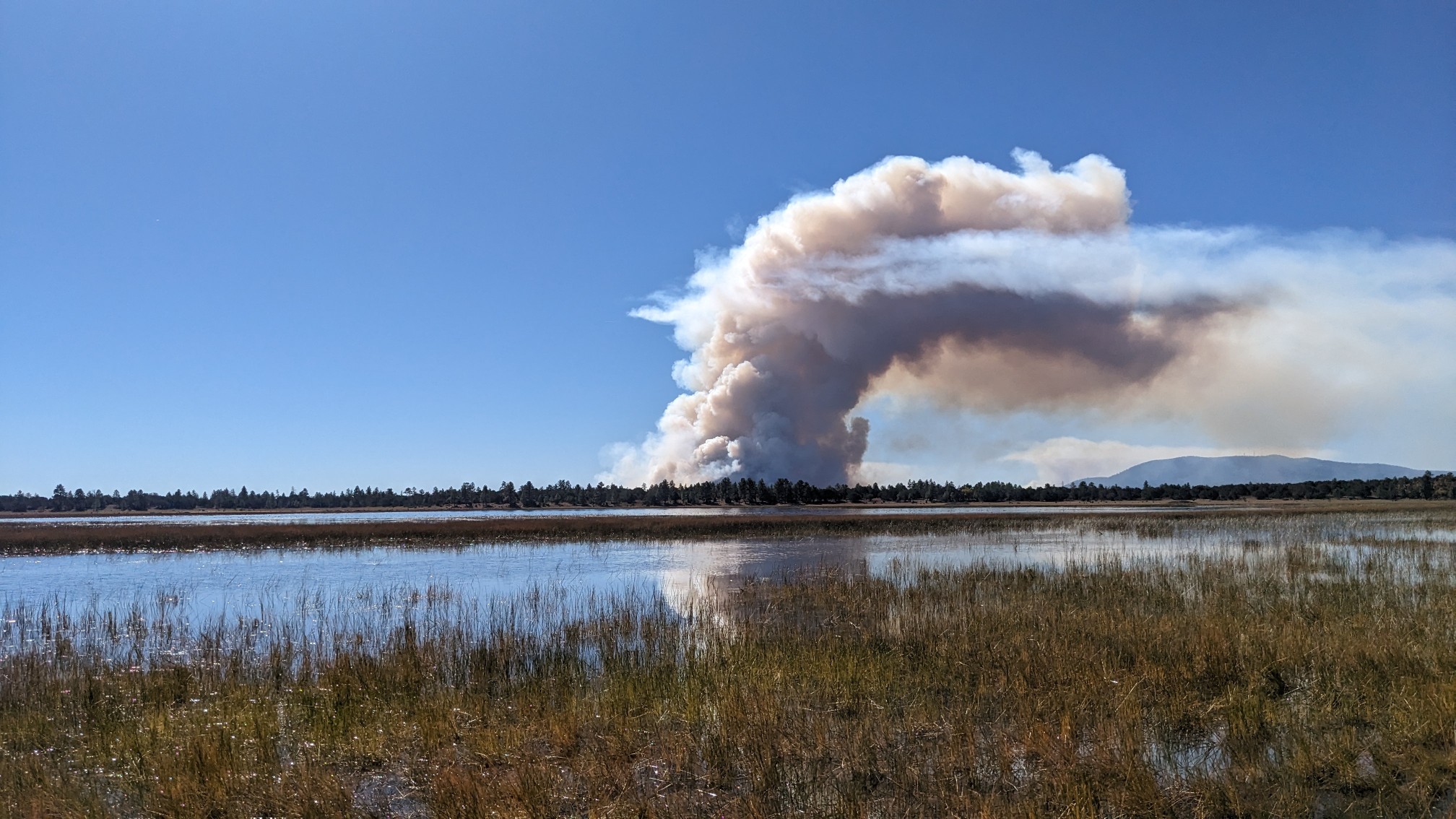 We hiked on for another hour, and the smoke cloud was growing quickly.
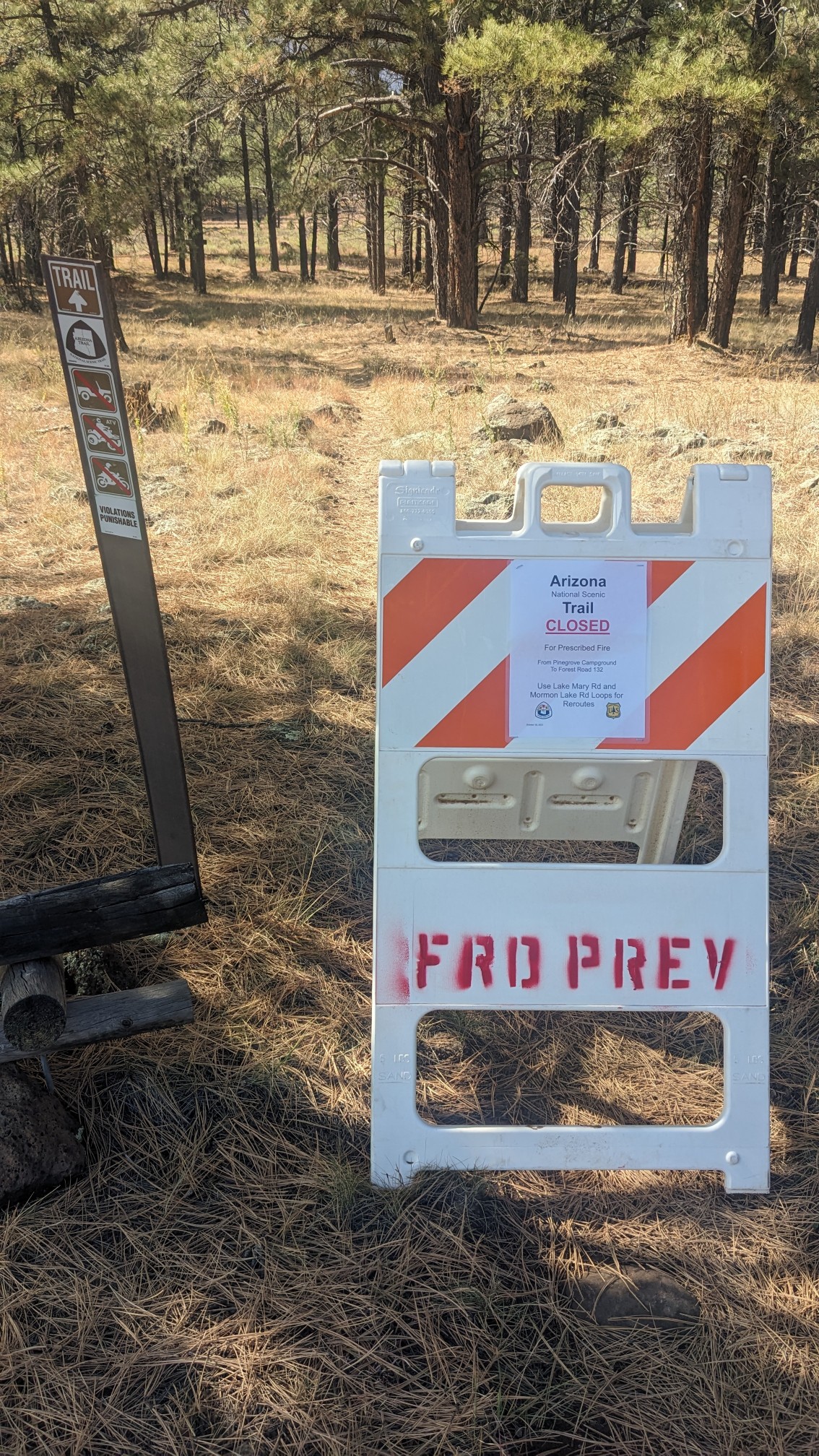
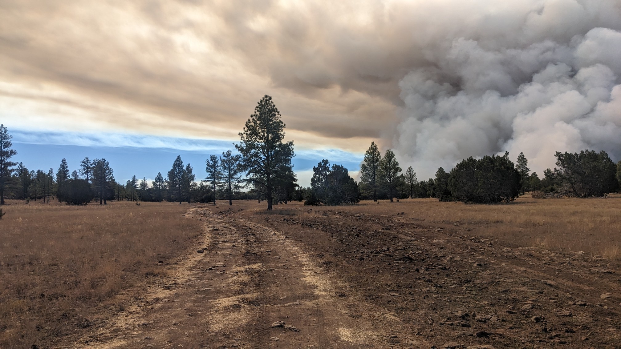 When we got down to highway 3, we stopped for lunch. The trail was closed beyond this point, so it seemed like a good spot to take a break.
 After lunch we roadwalked for 30 minutes on a detour, getting a close up view of the prescribed burn.
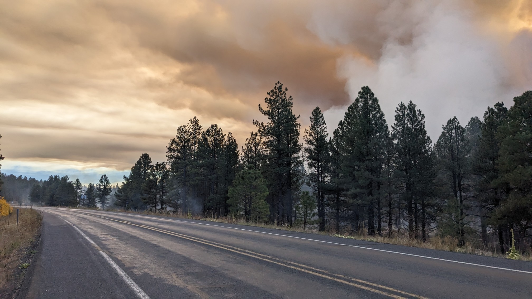 Yup, it looked pretty smokey down there.
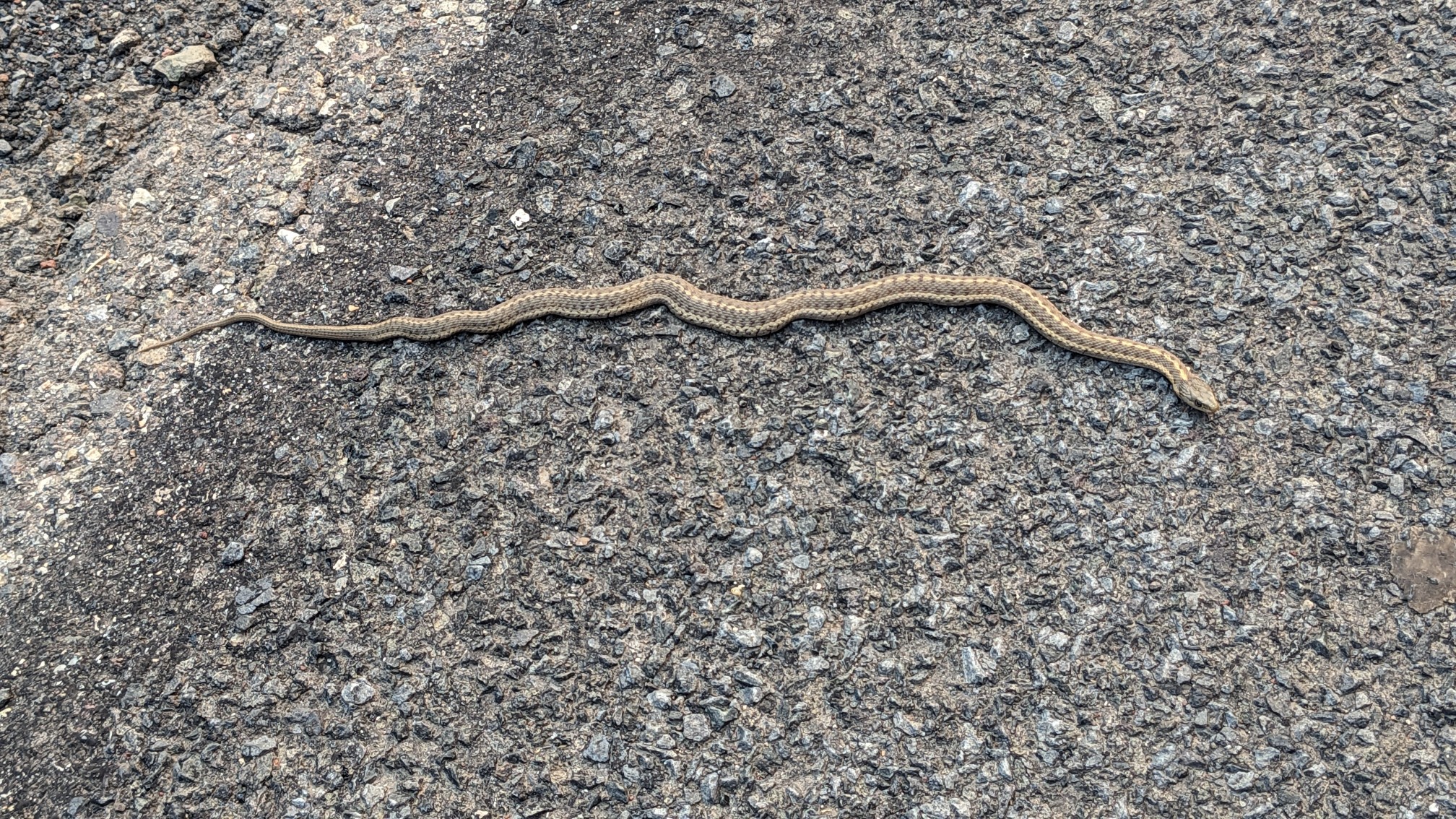
 While I was distracted by all the exciting scenery, I almost stepped on a snake on the road.
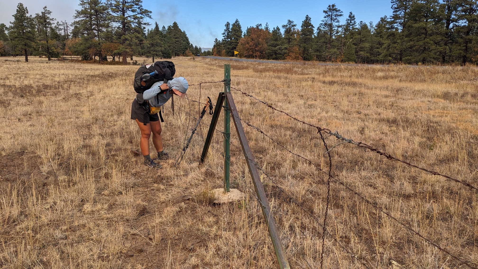
 Finally we left the road and had to bushwhack a little bit back to the trail, and even crawl under a fence.
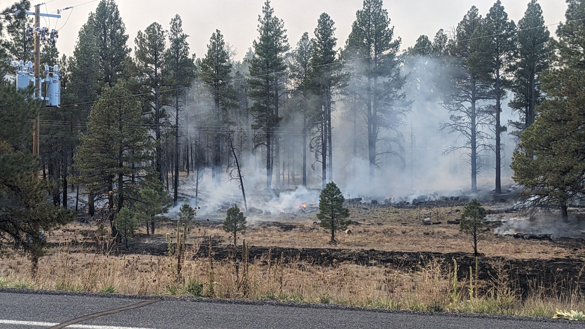
 We saw the very end of the burn area, which was definitely still smoky.
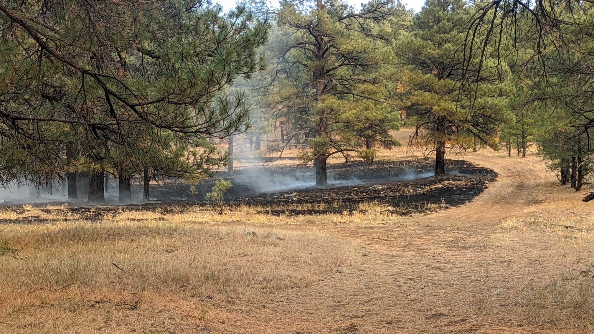 We walked for a little while before taking a break, to put some space between us and the smoke. Finally the forest seemed back to normal.
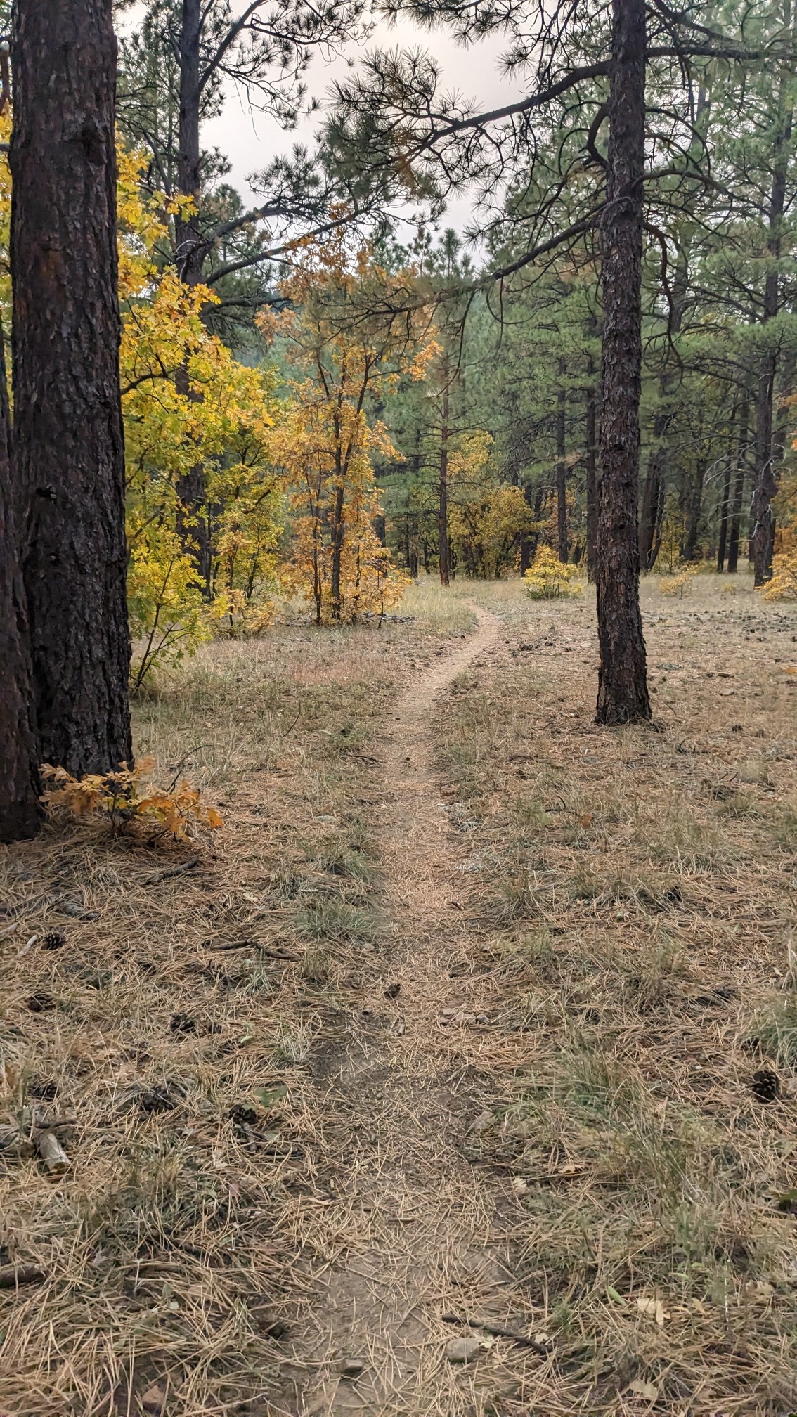
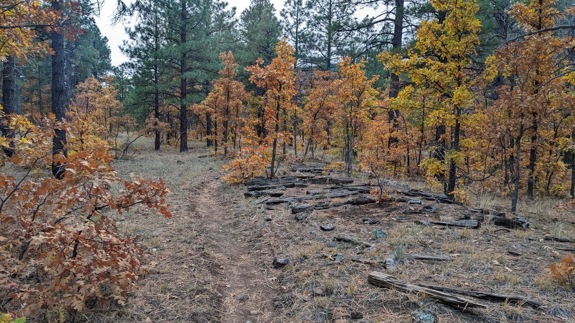 It was uneventful hiking for the rest of the afternoon.
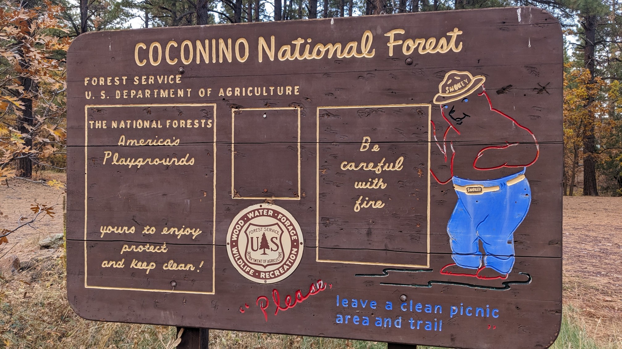
 Towards the end of the day, we walked through a closed campground. It had a funny old sign from the 1970s.
 And we crossed the first flowing water I’ve seen on this entire trail so far.
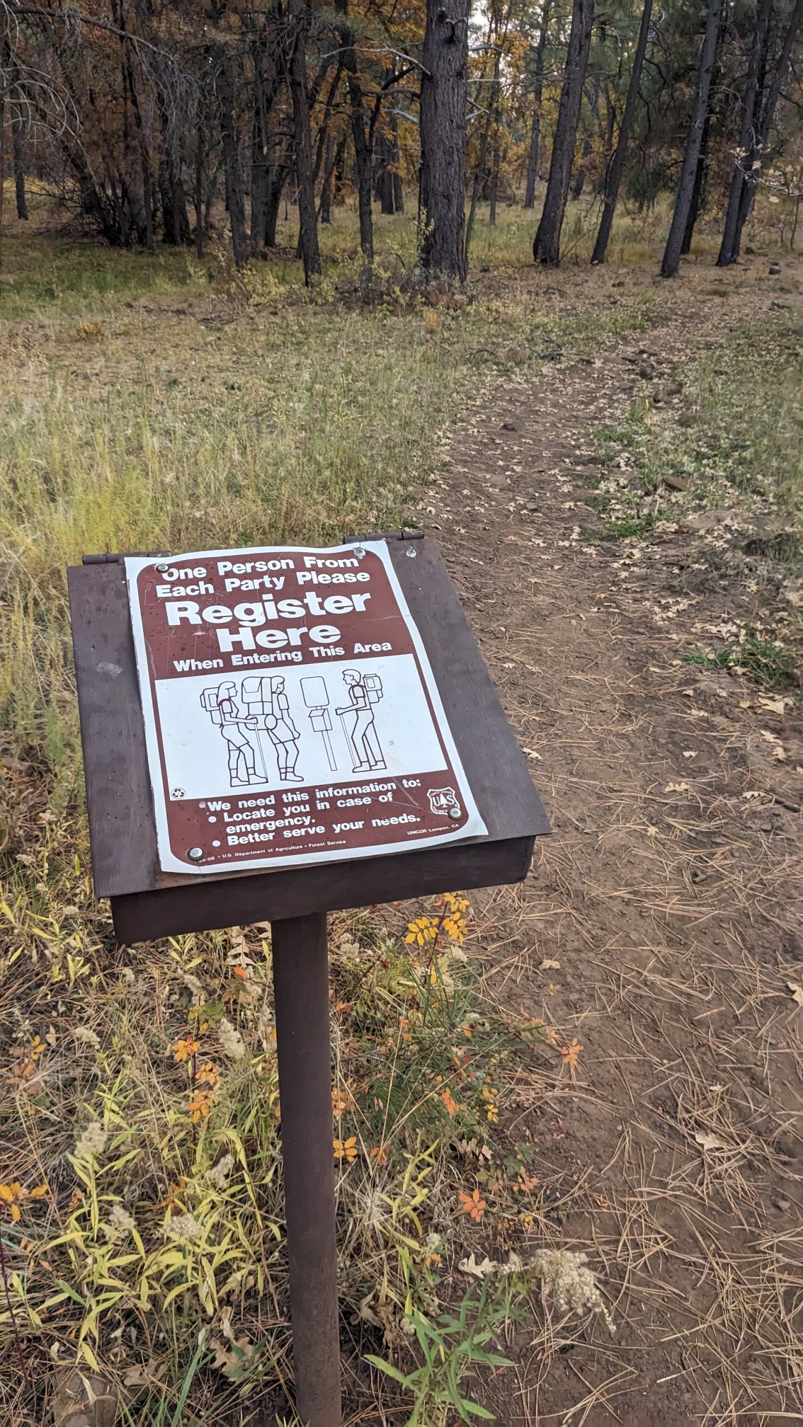
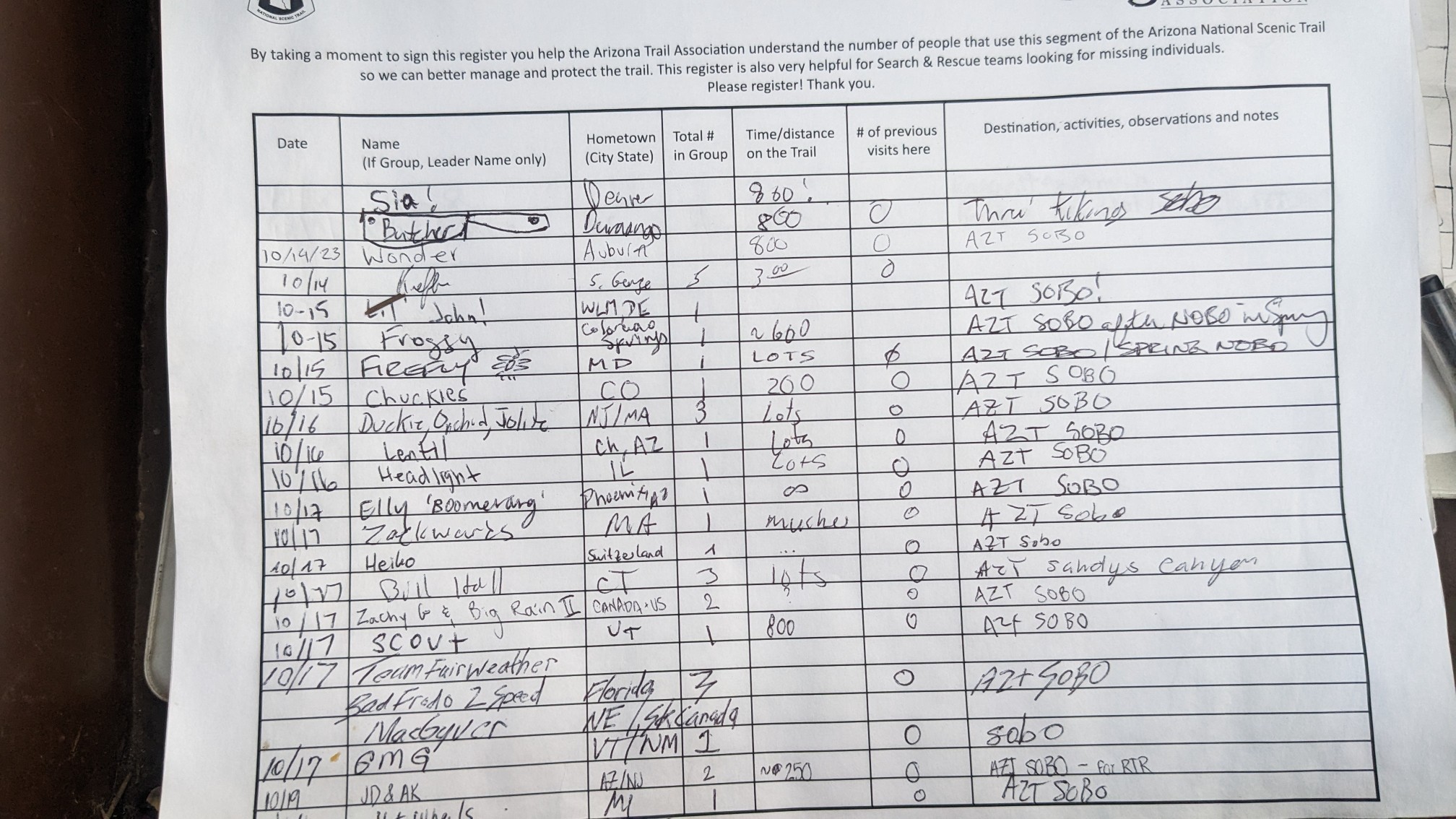
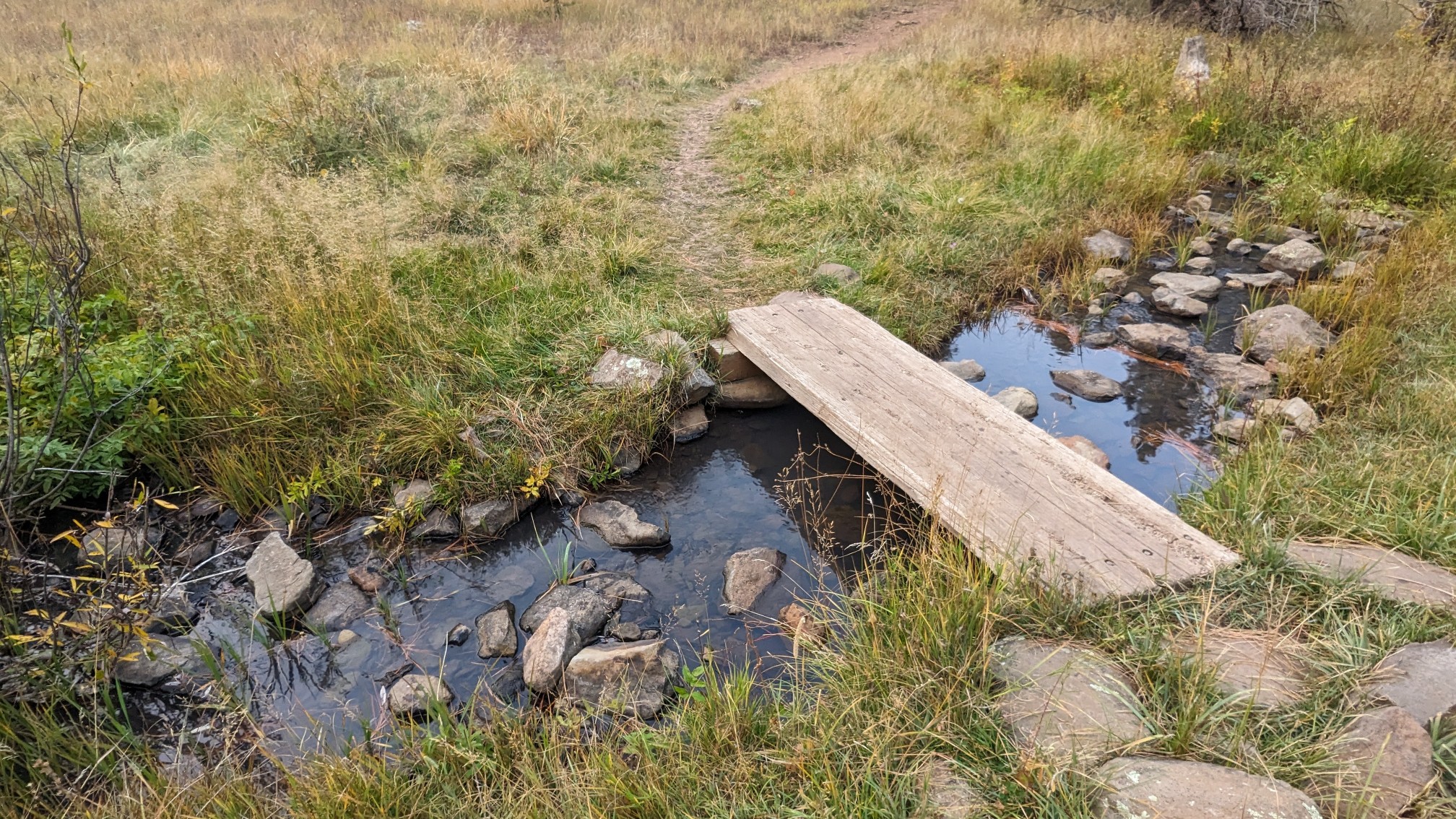 Nearby there was a trail register, which we signed, and it was also fun seeing all the other people ahead of us on the trail.
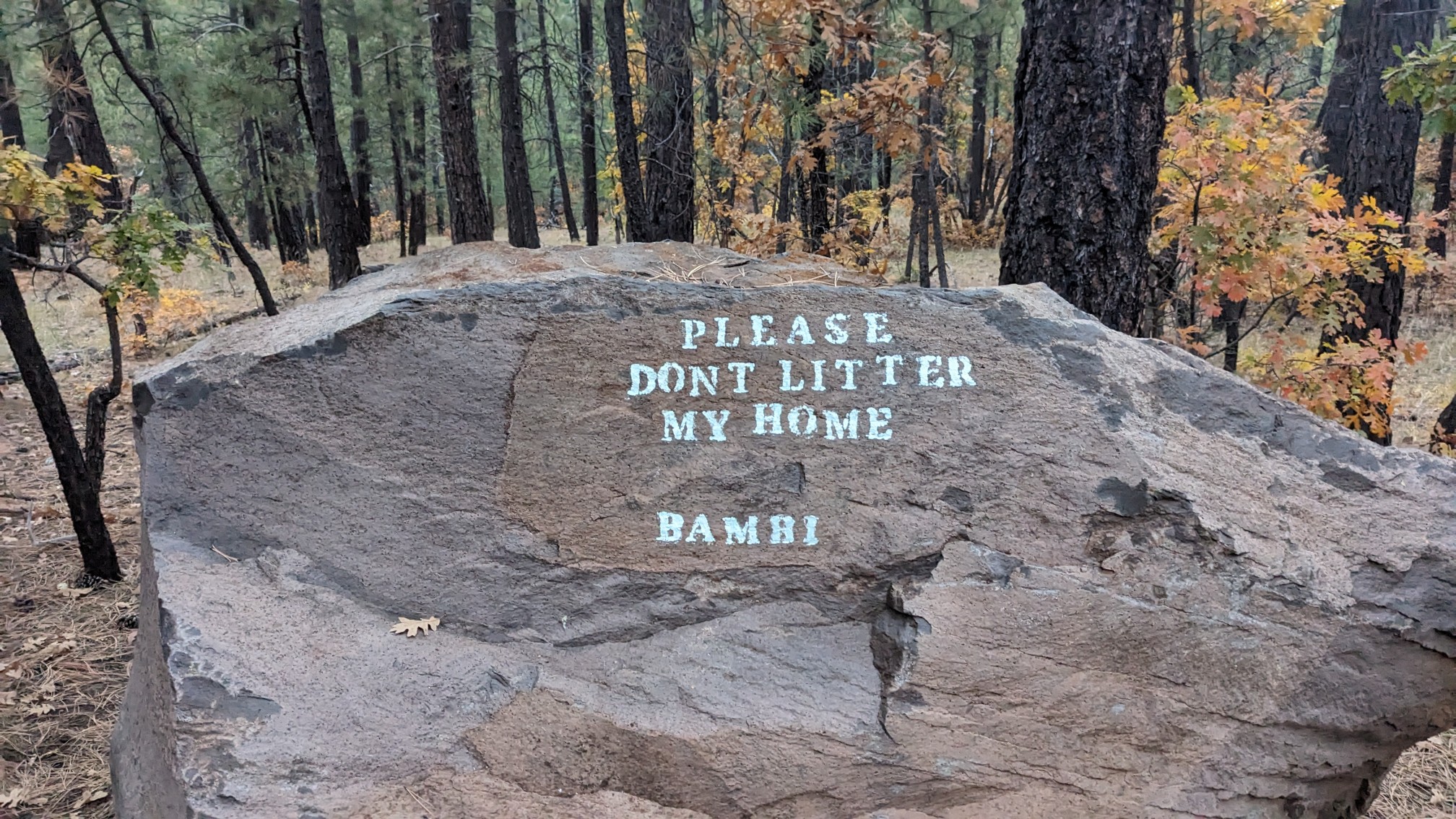
 We hiked uphill another mile to get to a camping spot that was a little warmer. We passed by this random boulder which had some graffiti on it, apparently it’s famous.
 As usual, we got to our planned campsite just before dark at 6pm. It seems to be getting dark so early these days!