Monday November 6, 28.8km/17.9mi
American Flag Hill (595.7/4500ft) to Lemmon Rock Trail Jct (613.6/7250ft) (AZ)
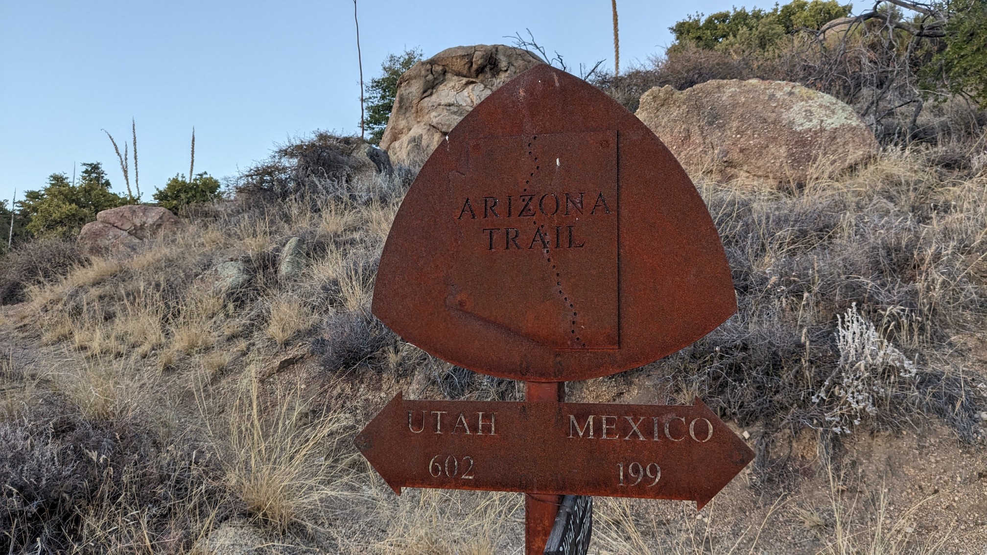
We were awake early, and I started hiking at 6:15. It was nice to get most of the uphill hiking done before it got hot. Within a mile, I saw one of the AZT mileage signs…less than 200 miles to Mexico!
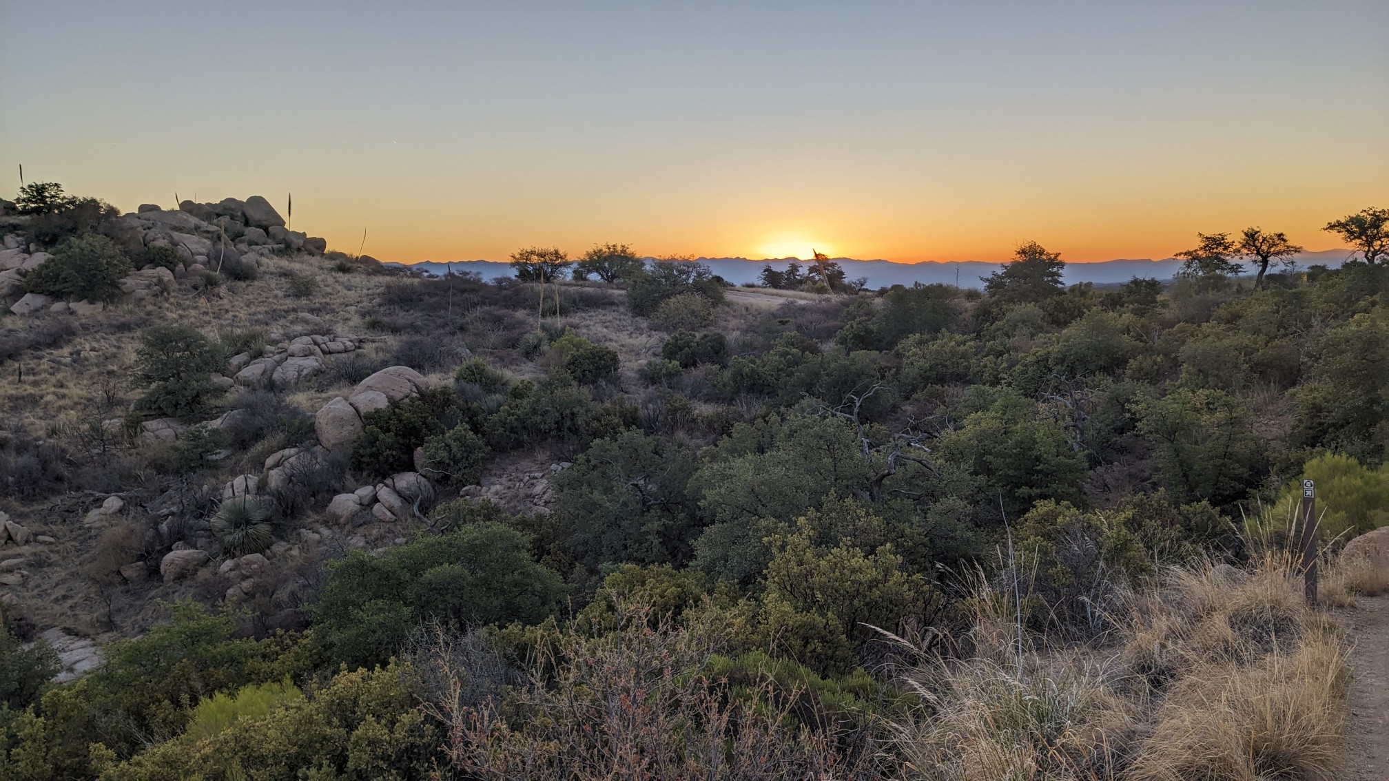
A few minutes later, I stopped to watch the sun rise. The yellow disc moves above the horizon surprisingly quickly at this time of year.
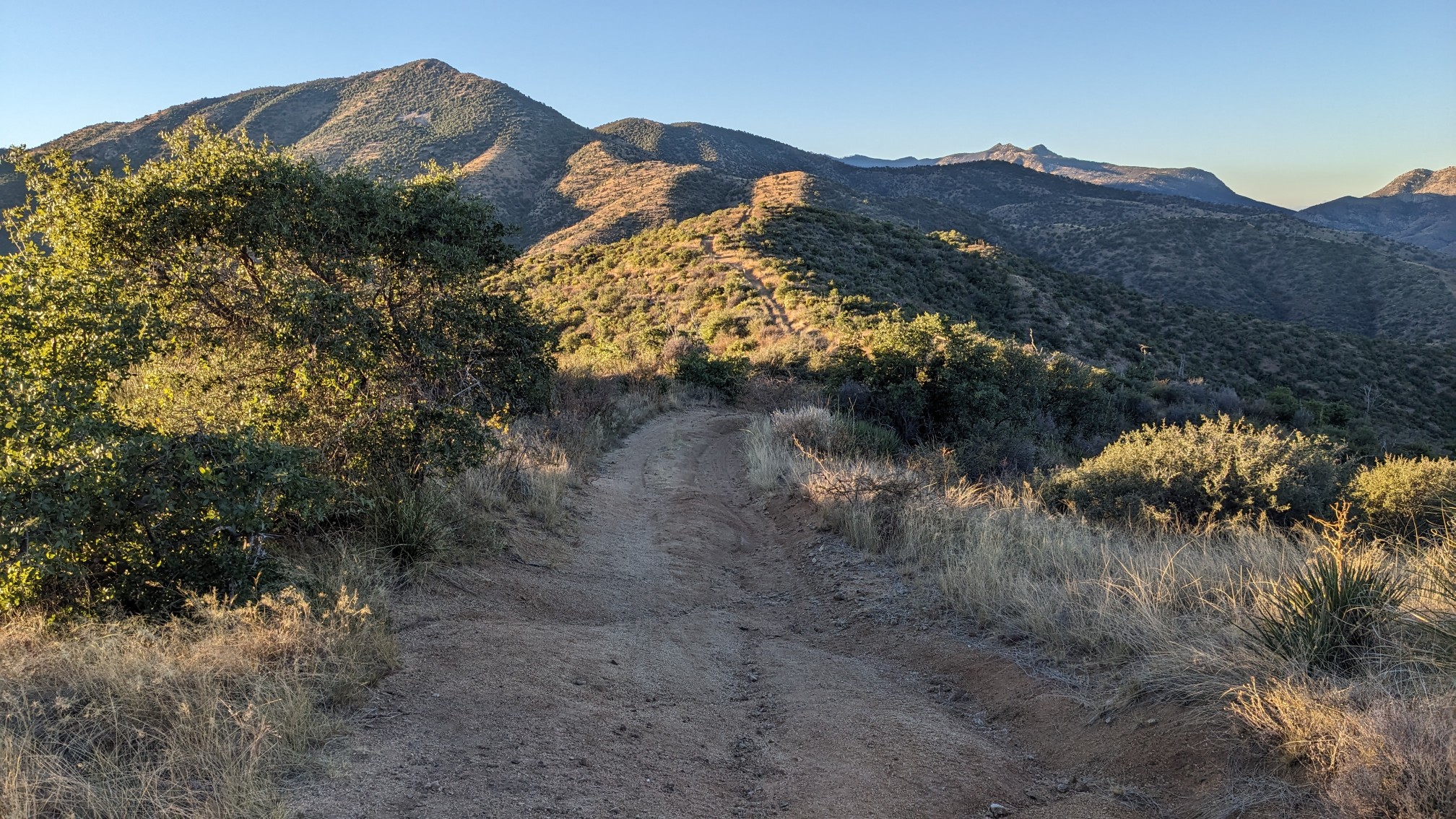
After an hour, I had climbed up to a ridgeline, which I followed for the rest of the morning.
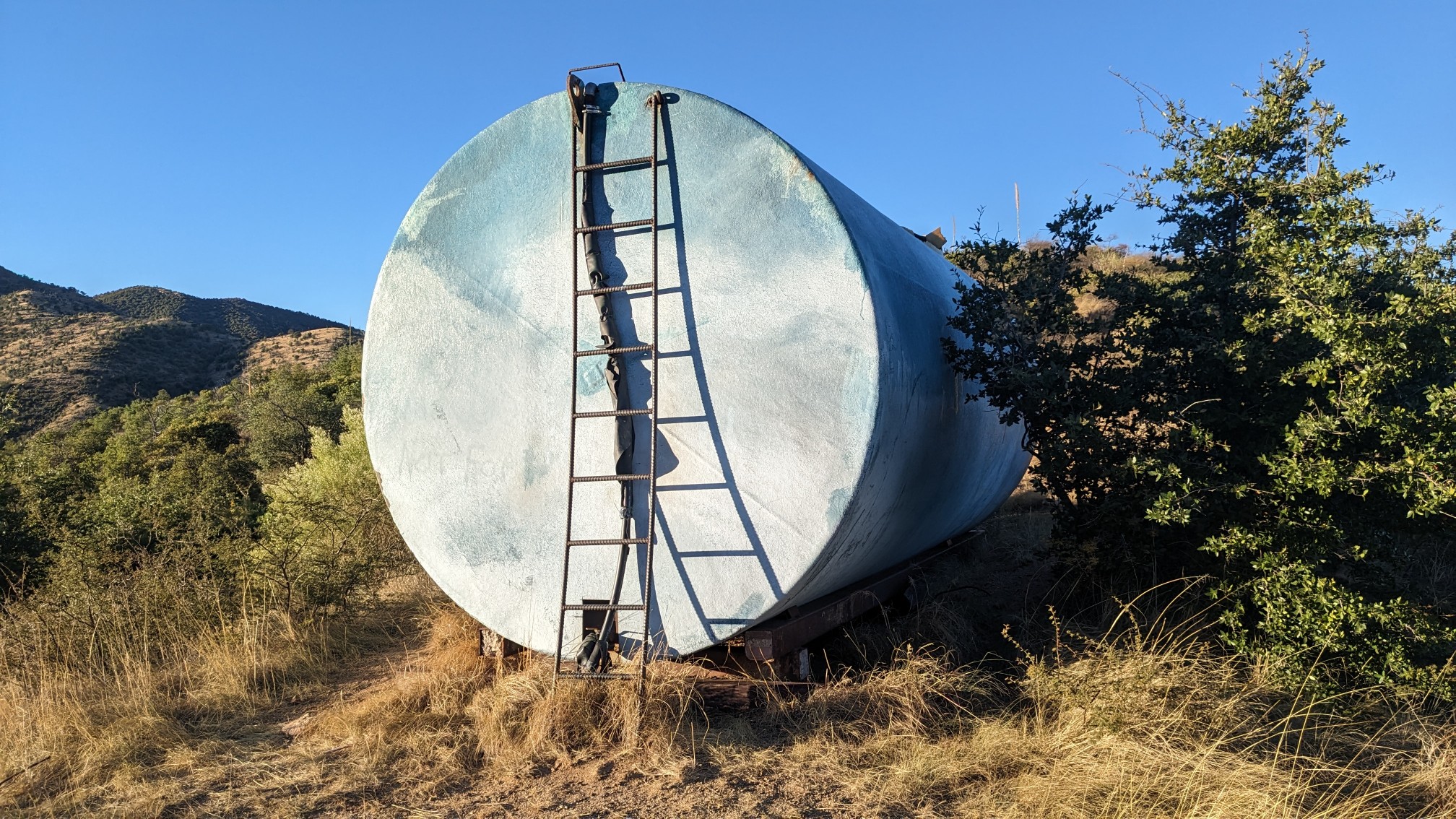
I had a phone signal up here, and I saw a message from TopShelf…”I left one hour late, meet you at the top”. So I hiked the rest of the morning by myself. I made a quick stop to get more water, which involved a climb up a ladder.
A little while later, Zackwards caught up to me and passed me. He definitely seemed excited to get to the top!
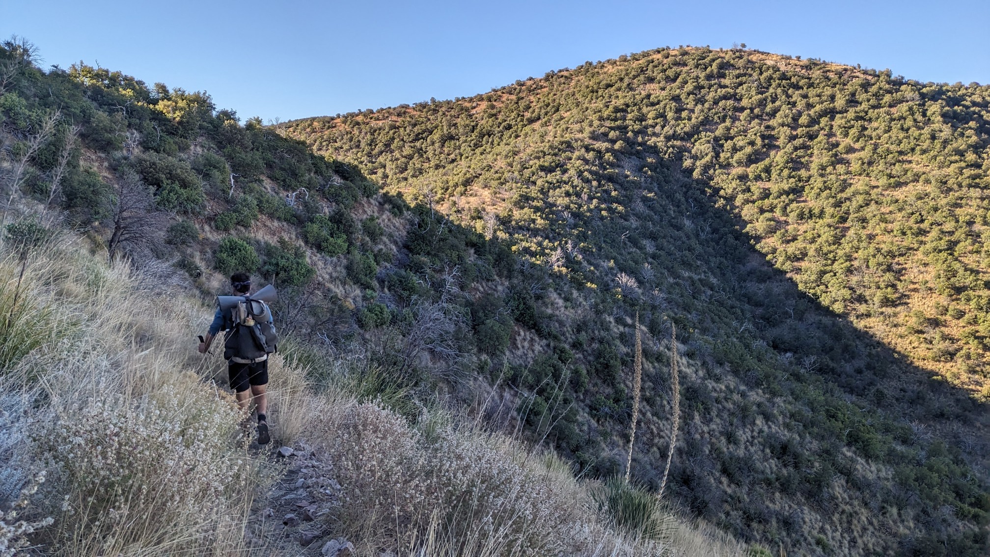
As I climbed higher, I could see the Oro valley below me to the west.
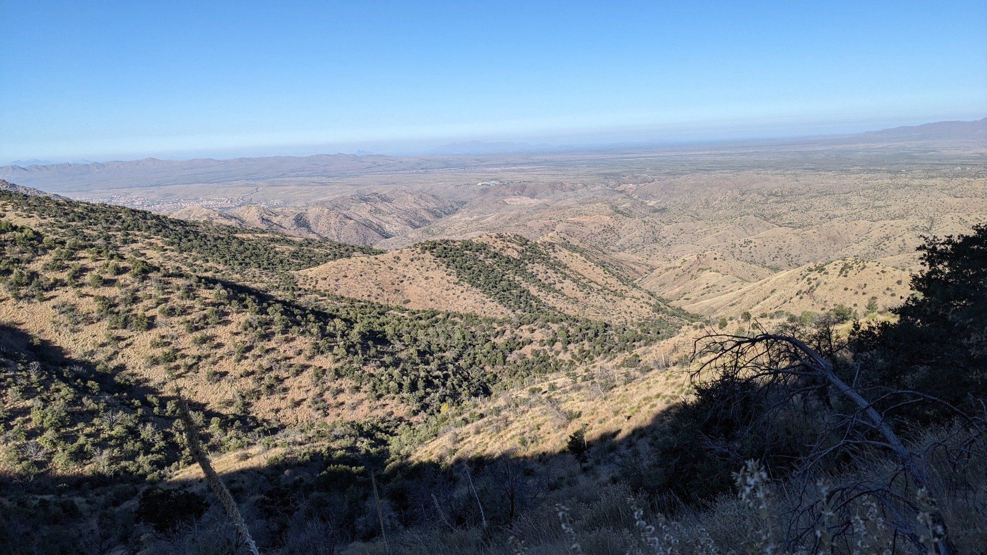
It was a pretty pleasant hike up the ridge, and I enjoyed the flatter sections.
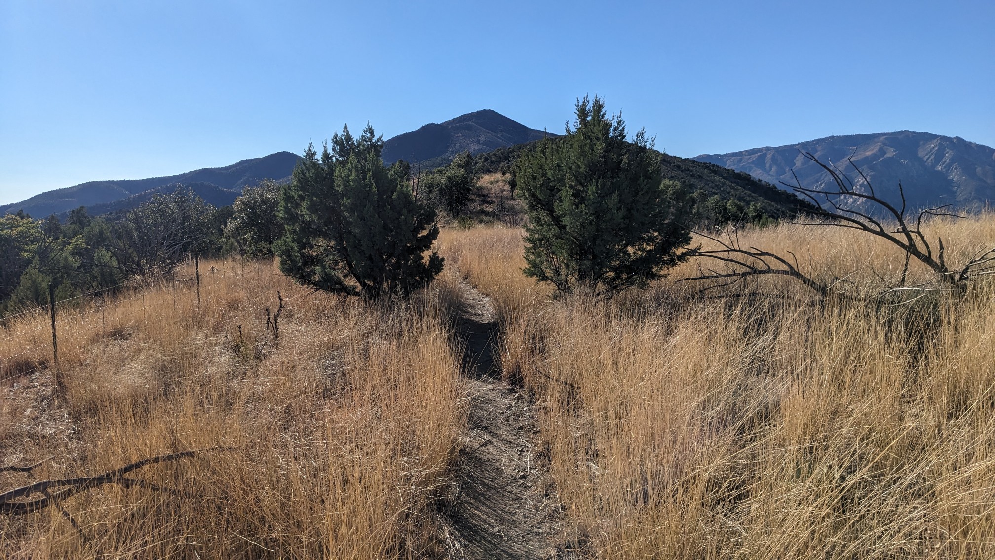
By late morning, Mt Lemmon was really close! There is a little town on the top, SummerHaven, so I kept hiking, aiming to arrive in time for lunch.
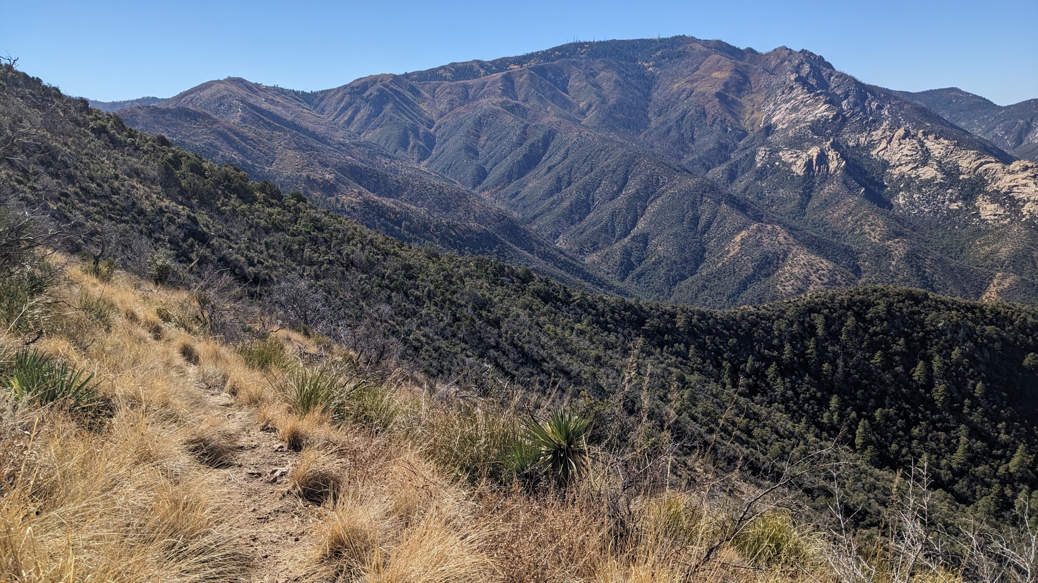
There were a couple short steep sections, so I didn’t arrive until 12:30, and I was pretty hungry.
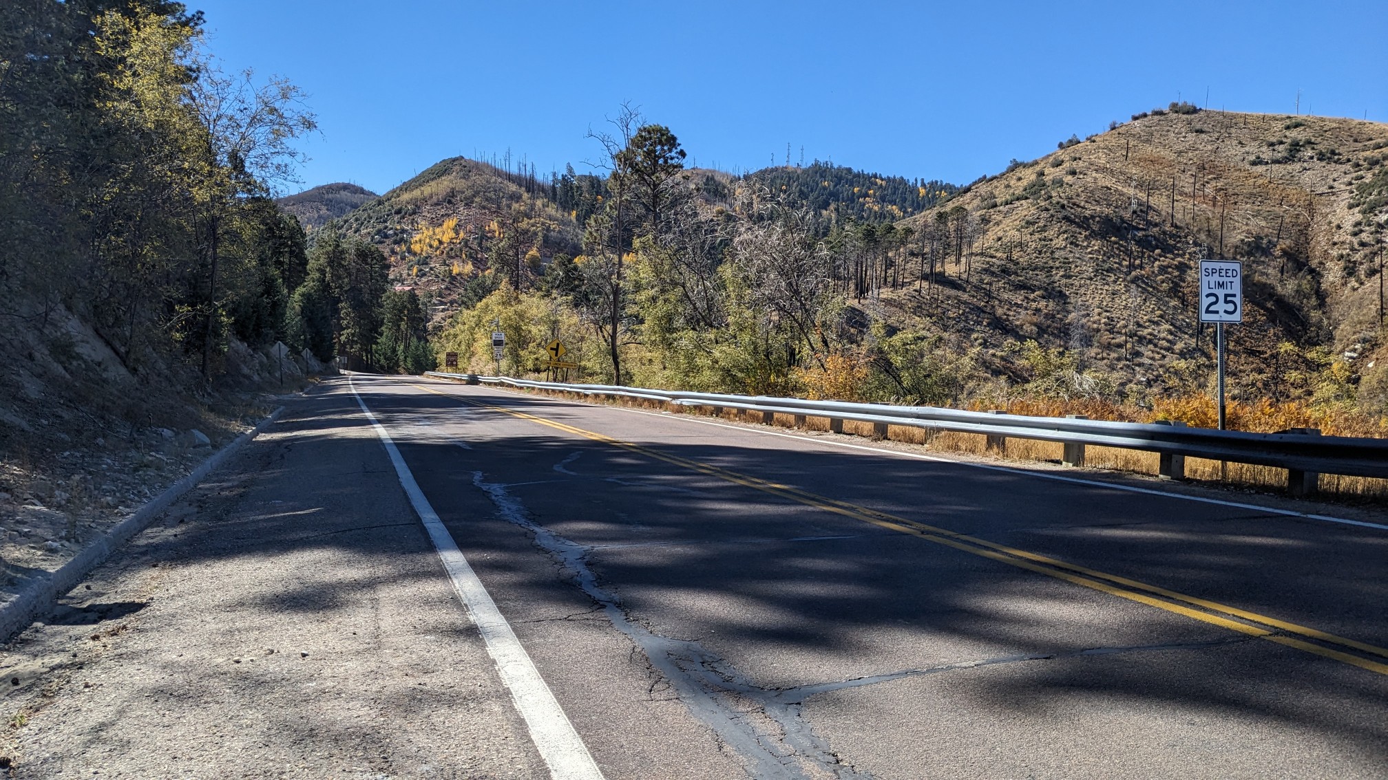
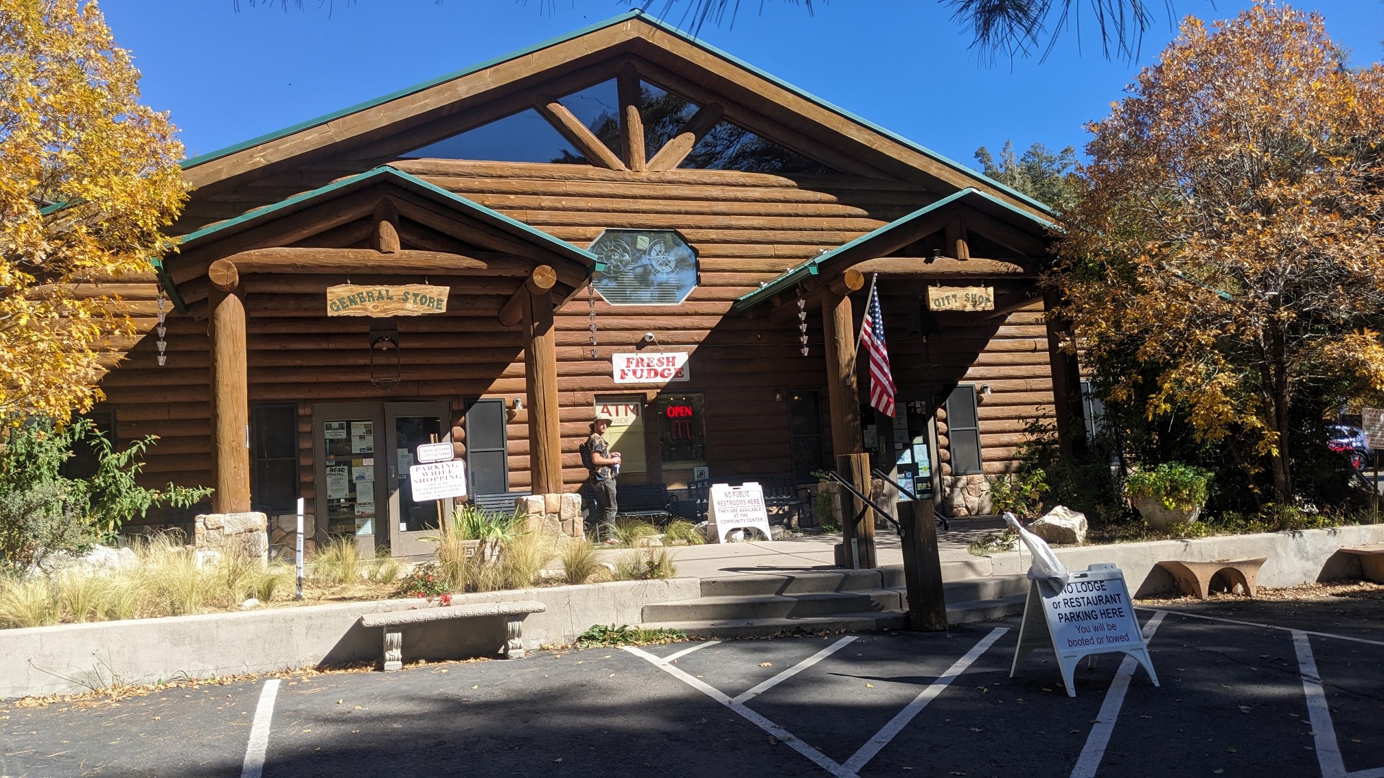
The first stop was the general store, to get my package (maps for the next trail), and a cold gatorade. They also had lots of homemade fudge, and they give free samples to hikers. I chose the prickly pear flavor. Yum.
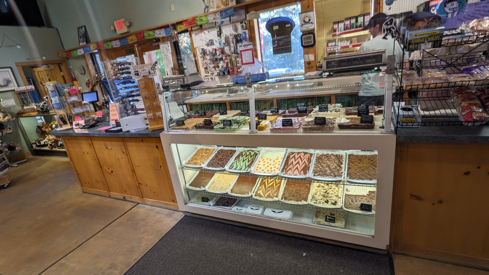
The next stop was down the street, at the Cookie Cabin. It’s a famous spot for huge homemade cookies and also pizza slices. I got both!
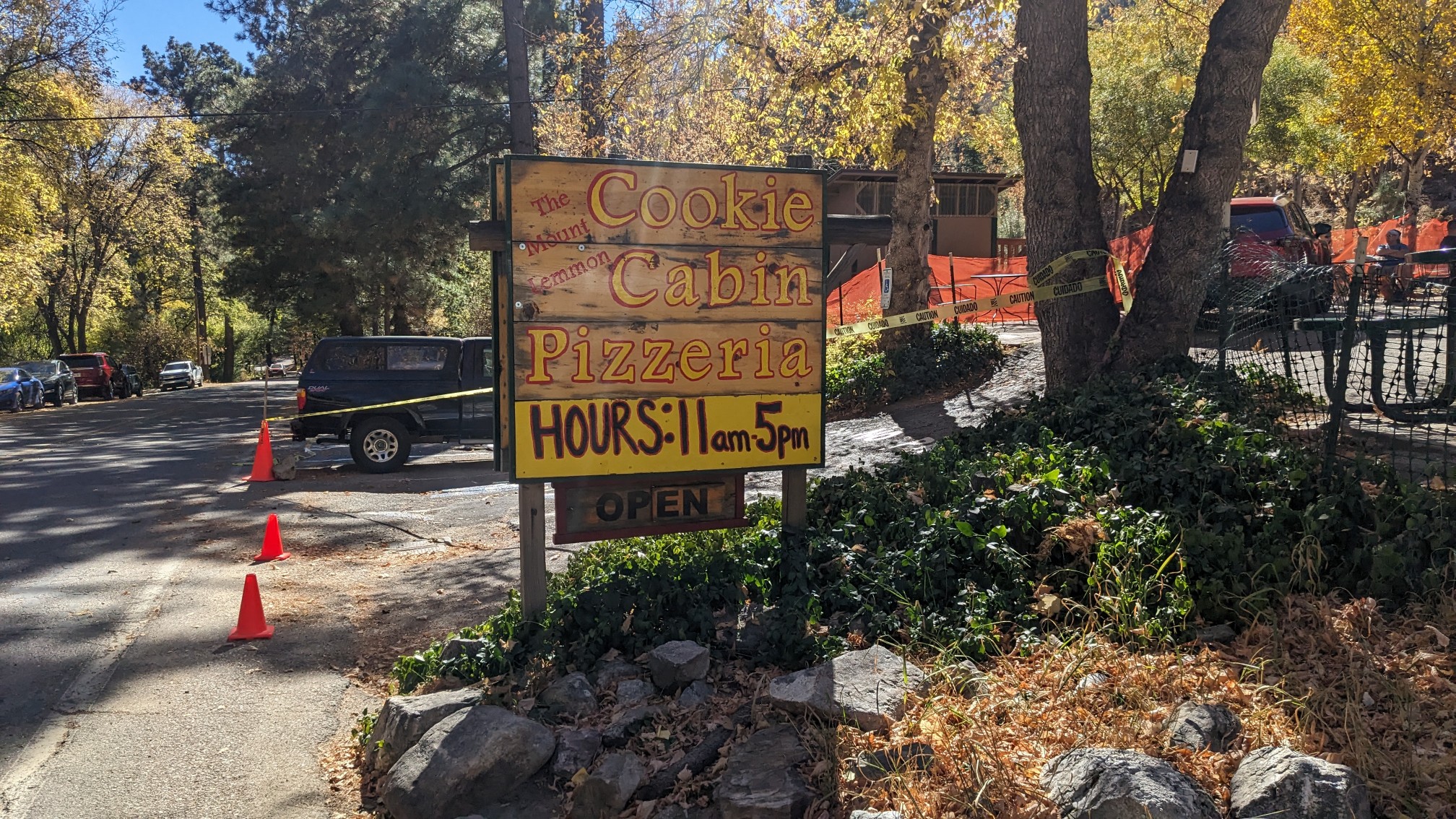
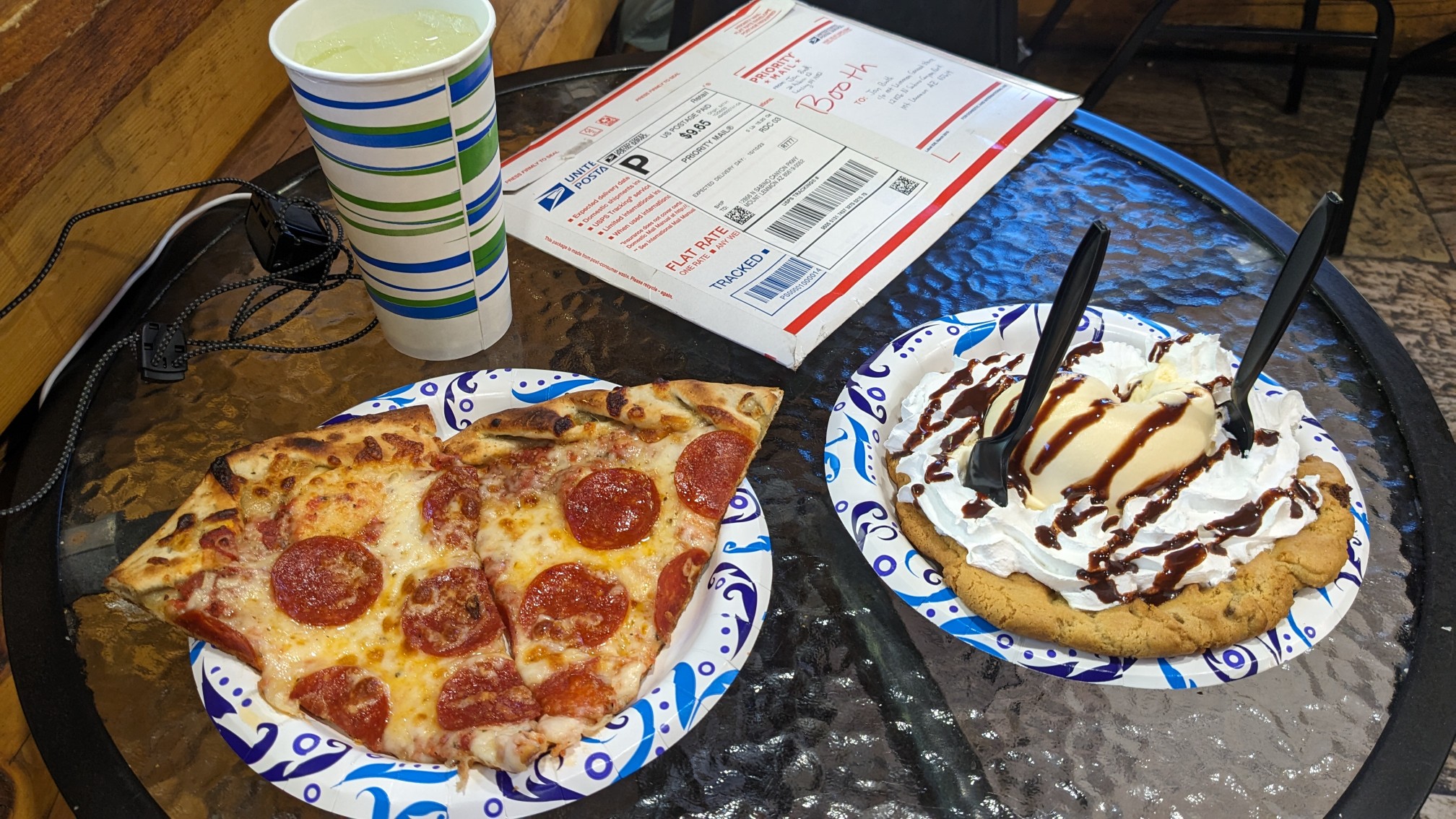
Of course, I had to get my cookie topped with a scoop of ice cream, and all the toppings. So many calories! After devouring that, I walked up the street to a cafe to meet up with the other hikers, Zackwards, Beer Goddess, and Ali. TopShelf arrived at the exact same time, and we all hung out for awhile. By 3pm people started leaving, and I departed at 3:30 to hike 4 more miles. The first mile was on a quiet deadend road.
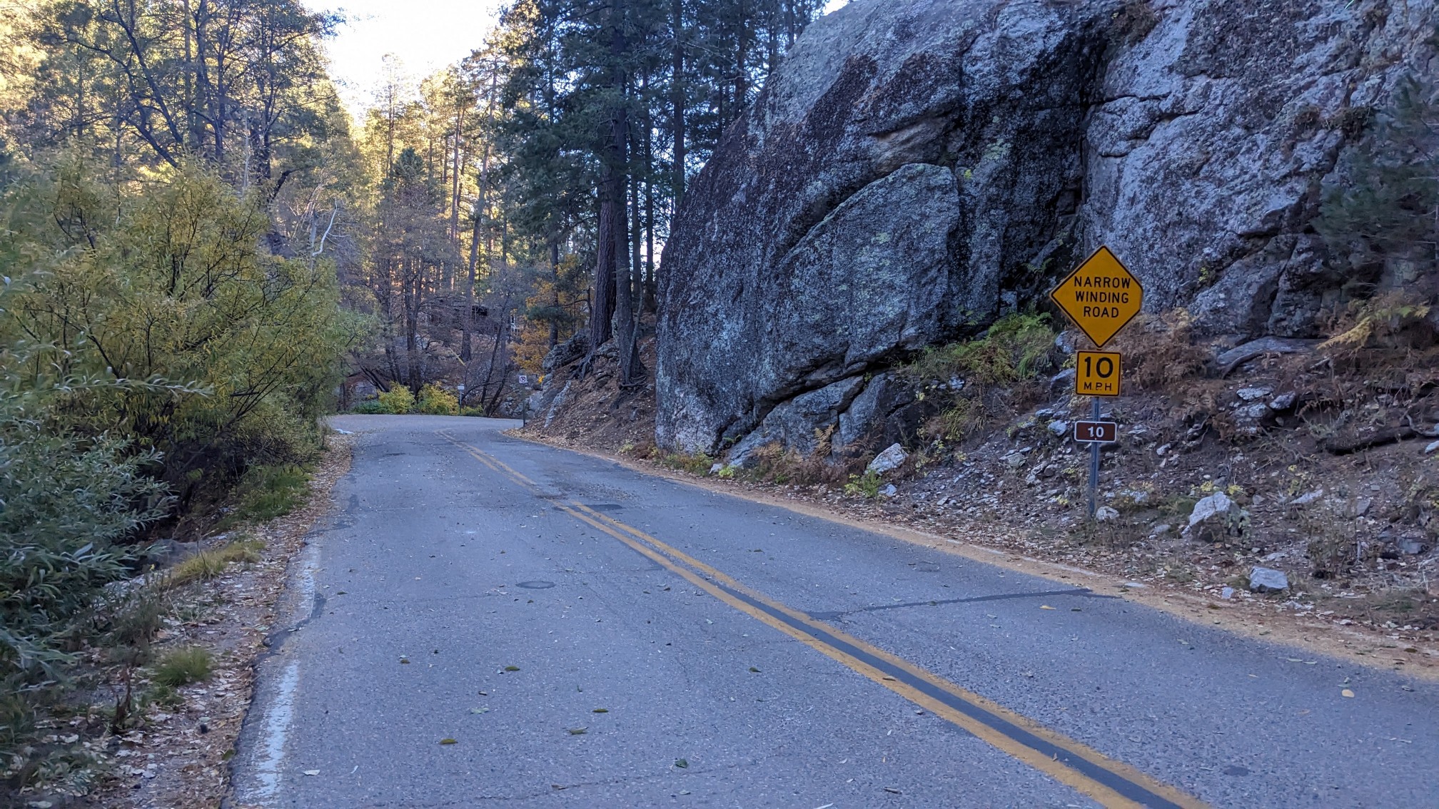
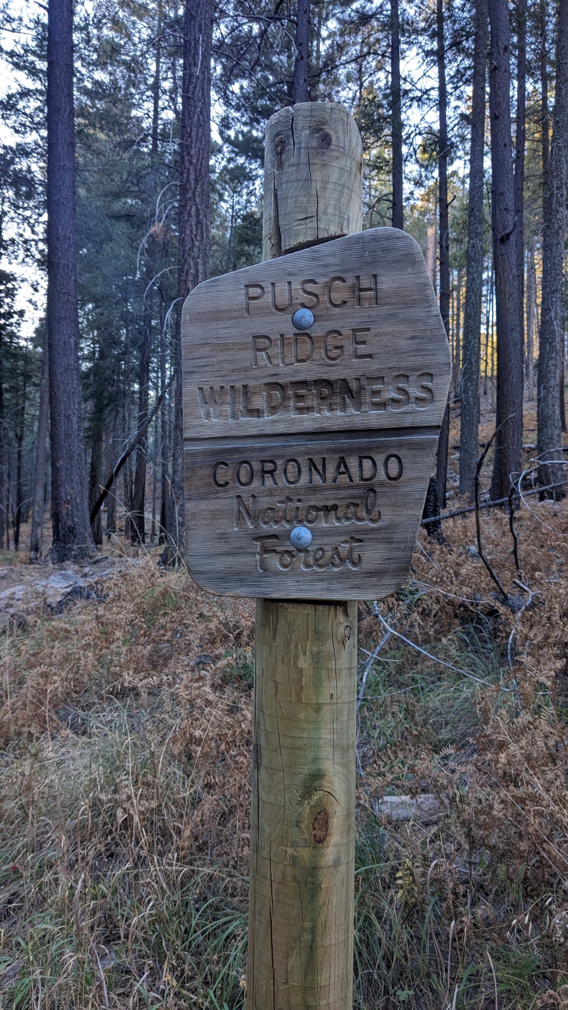
The road ended at a trailhead, and then immediately after I entered another wilderness! The Pusch Ridge wilderness.
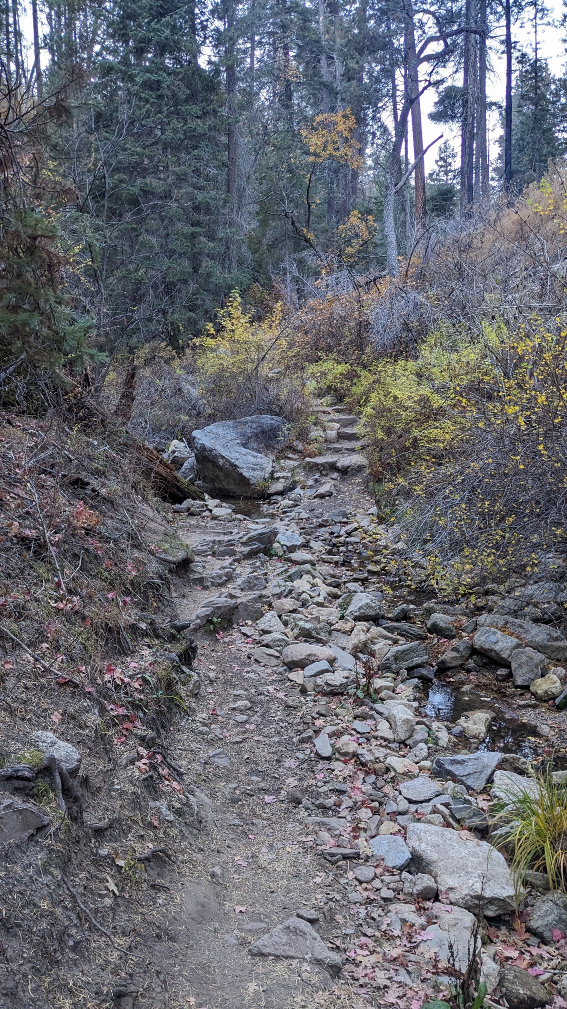
I followed along in a dry wash for a little while.
And pretty soon the trail climbed up into a ponderosa pine forest.
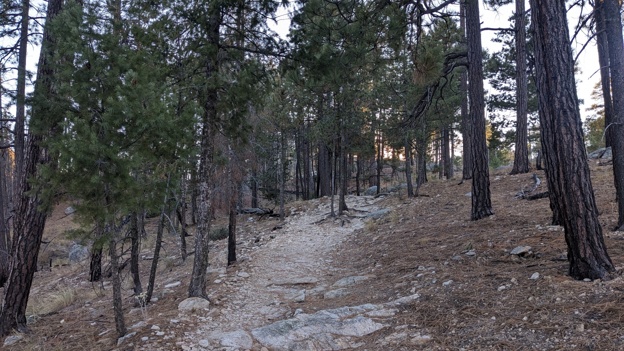
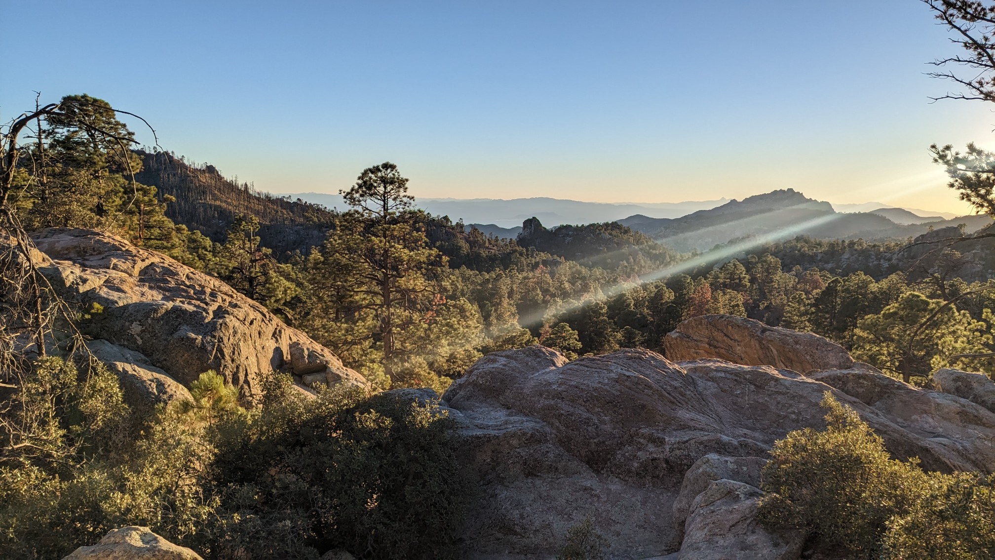
I reached the top of a small climb, at the Marshall Saddle. The view to the southwest:
From there, it was a quick 30 minutes down to our campsite. I arrived at 5:45, and TopShelf arrived 20 minutes later, along with Zackwards. This is our last night camping on the Arizona Trail! Tomorrow we split off onto another trail, the WTH (Winter Thru Hike).