Sunday November 26, 35.1km/21.8mi
Base of Saddle Mountain (271.3/1320ft) to Big Horn Mountains Wilderness (293.1/1520ft) (AZ)
I started hiking at 6:15am, with TopShelf a few minutes behind me. After a mile, I was able to switch off my headlamp and see the valley to the east. I think the smokestacks are a huge chicken processing plant.
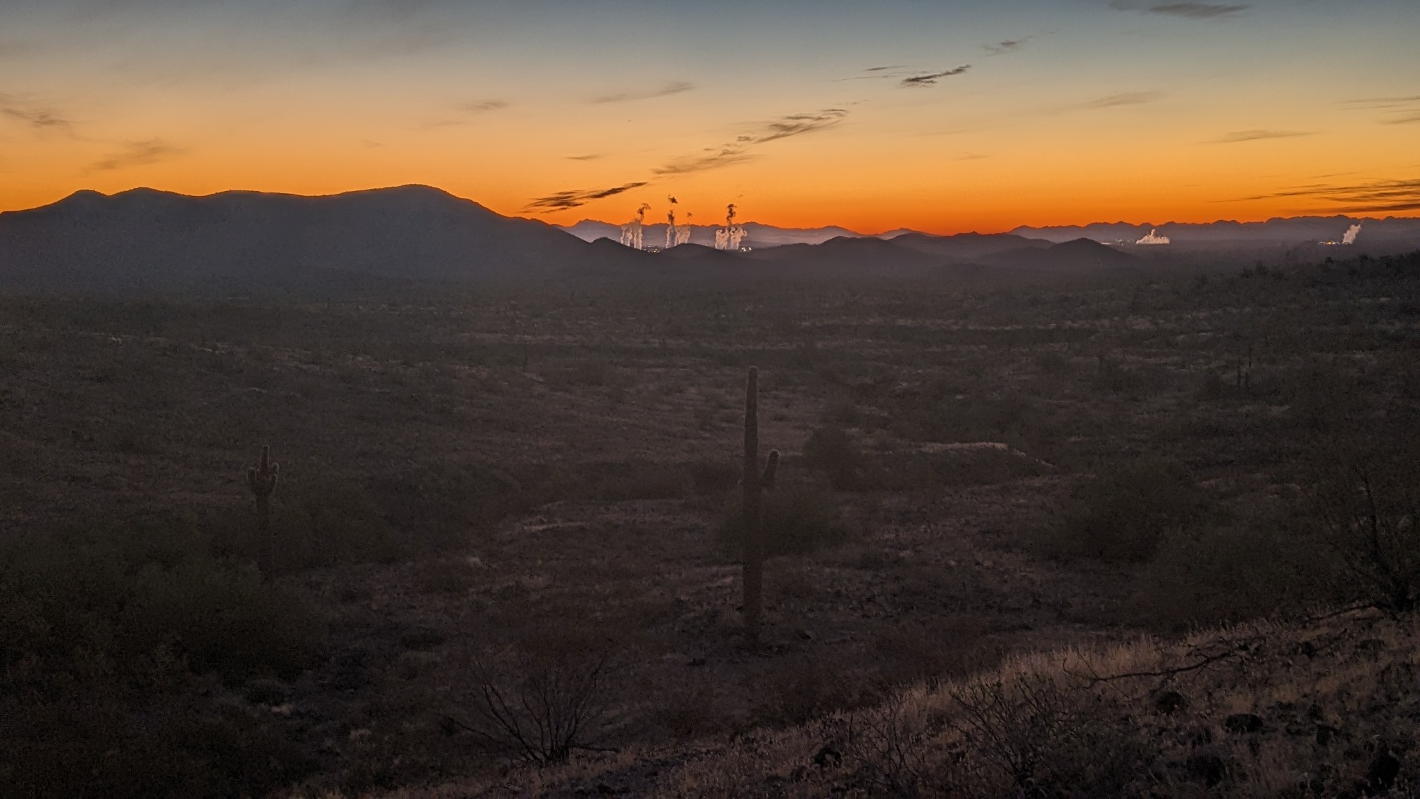
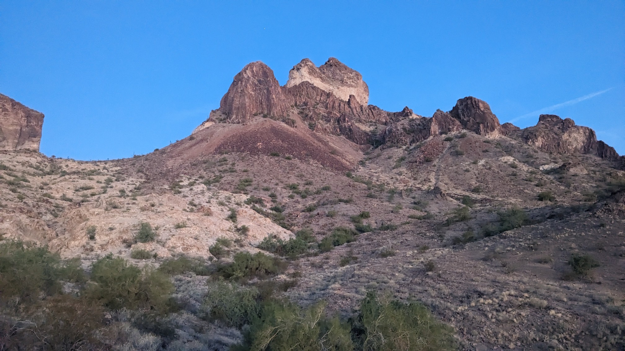
Saddle Mountain had this cool stripe in its summit rock formation. Neat!
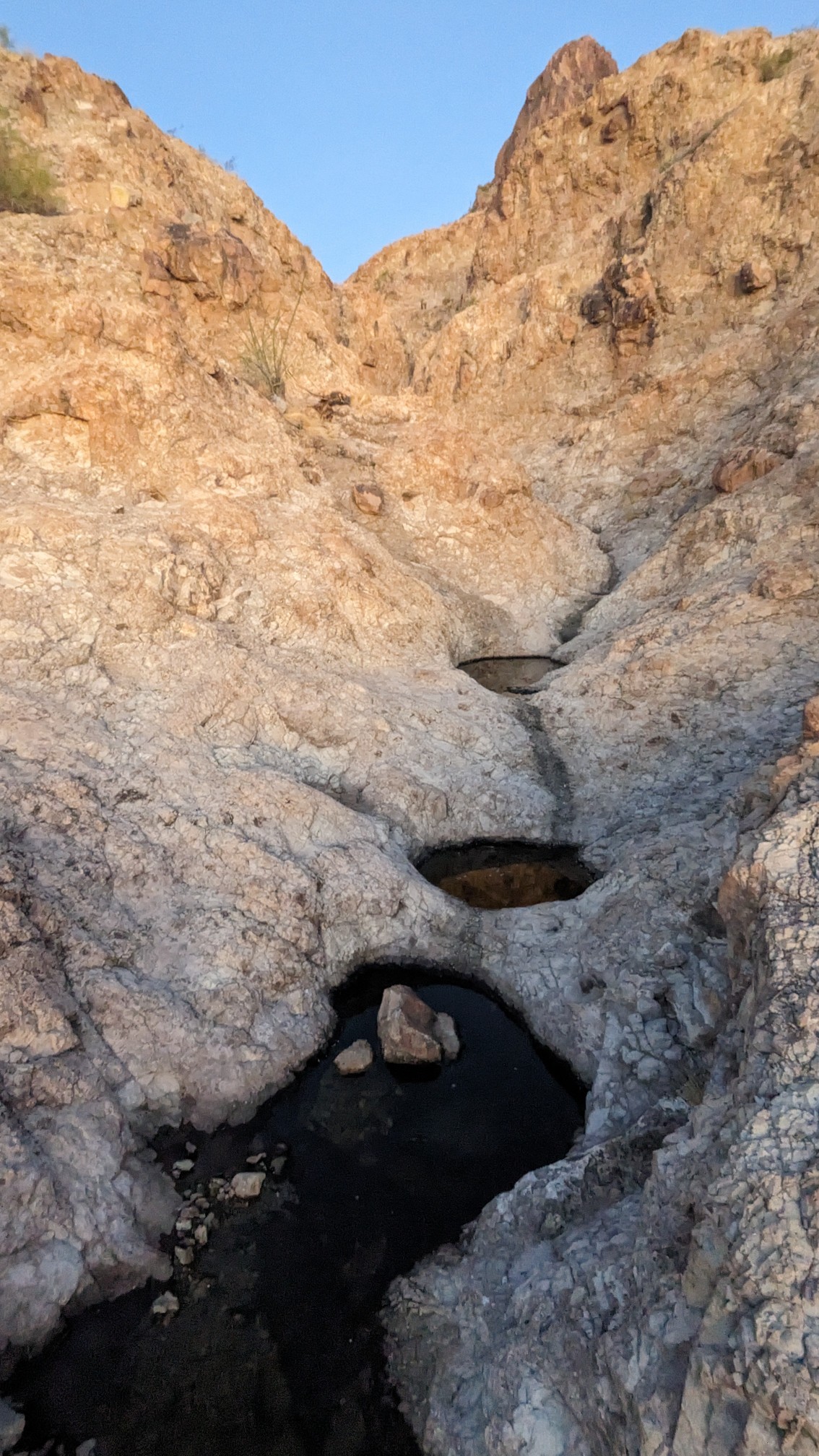
I stopped to get some water from some potholes in a slickrock wash. The map calls these “tinajas”, but usually they’re just called potholes.
For the next hour, the morning light soaked everything it touched.
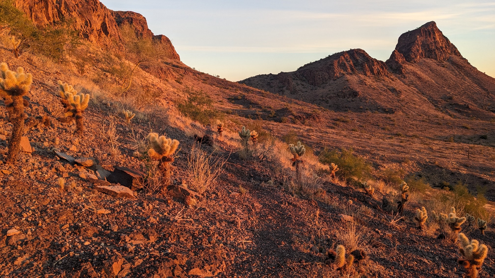
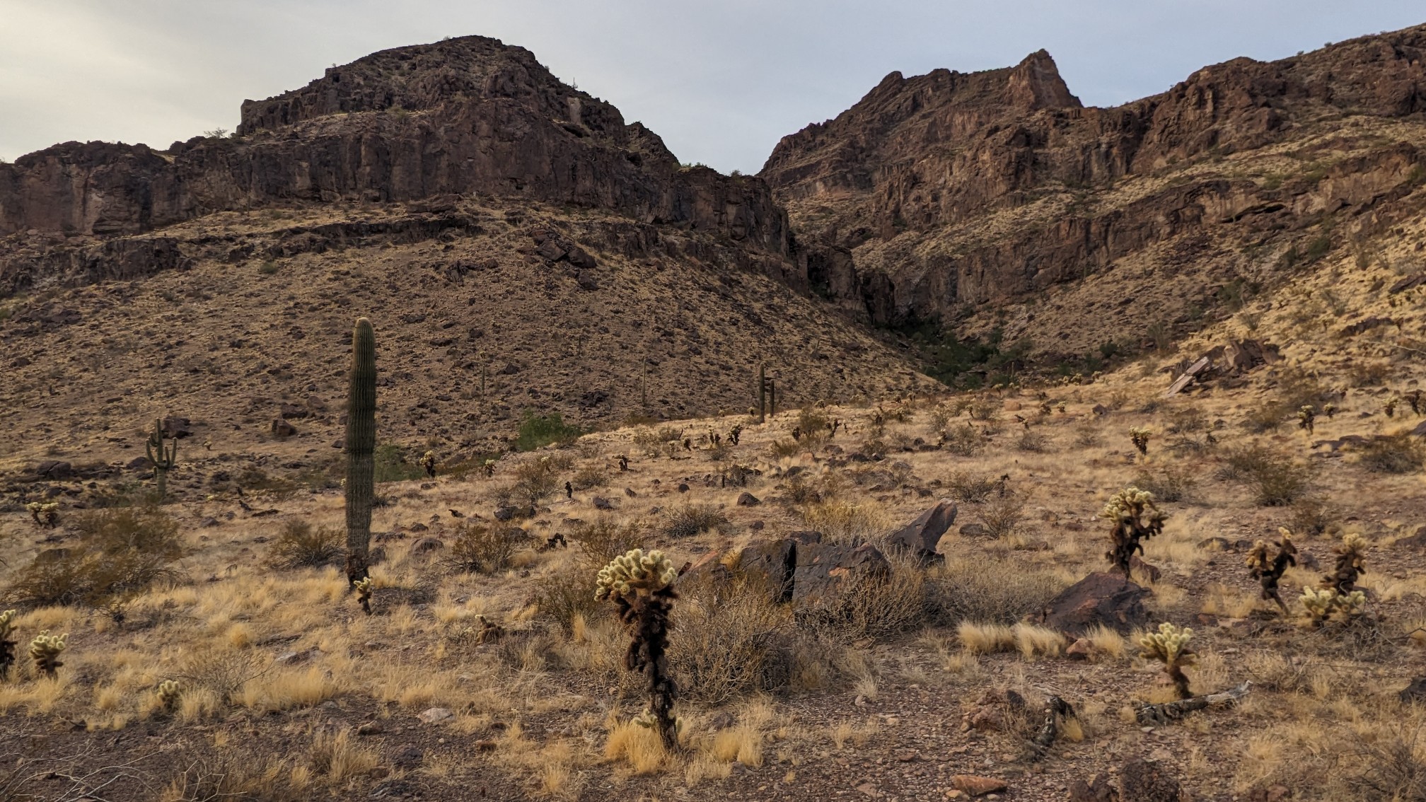
The view to the south, thru the Teddy-Bear Cholla cacti.
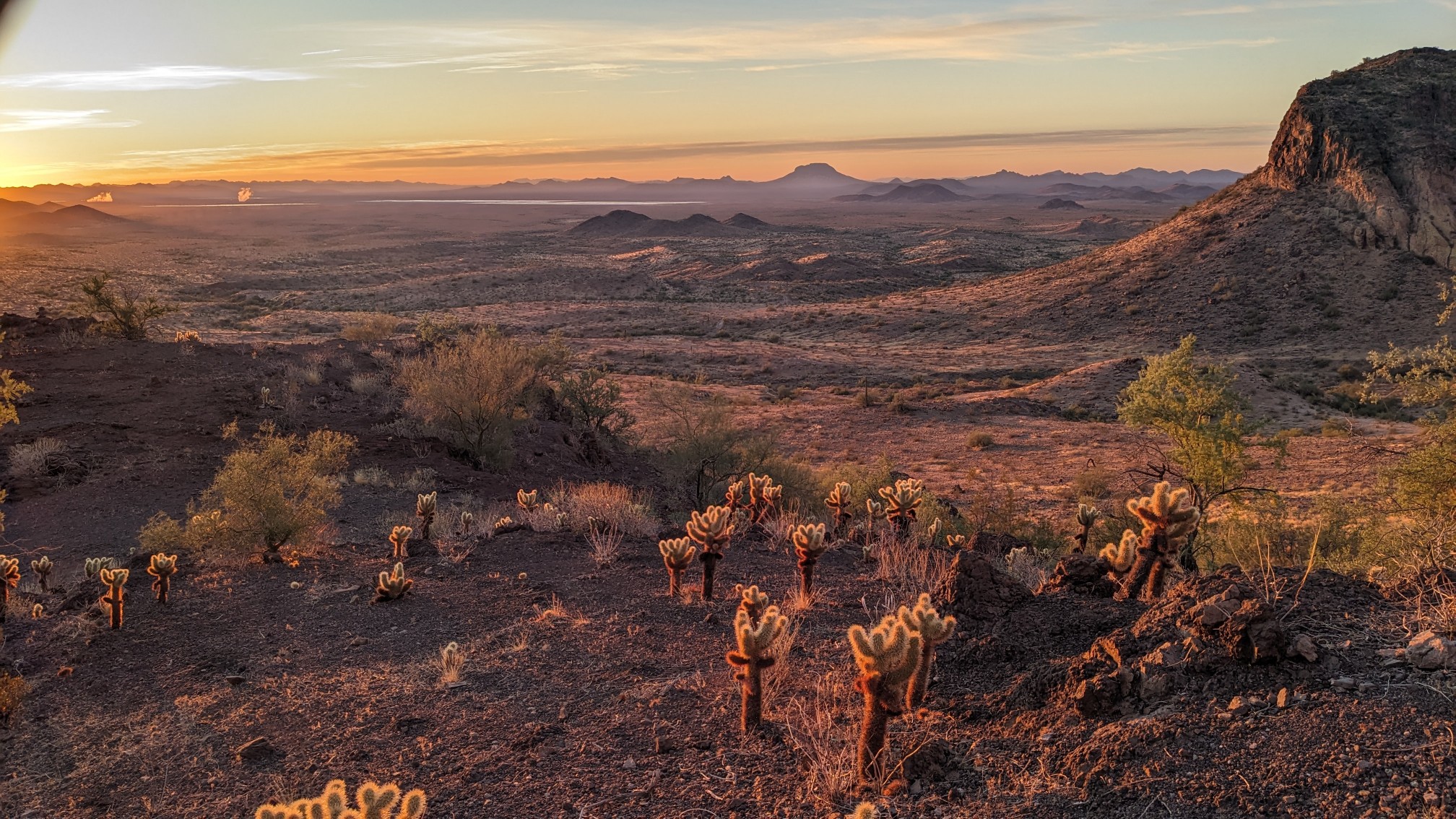
Eventually I left the Saddle Mountain wilderness, and was back on flat land.
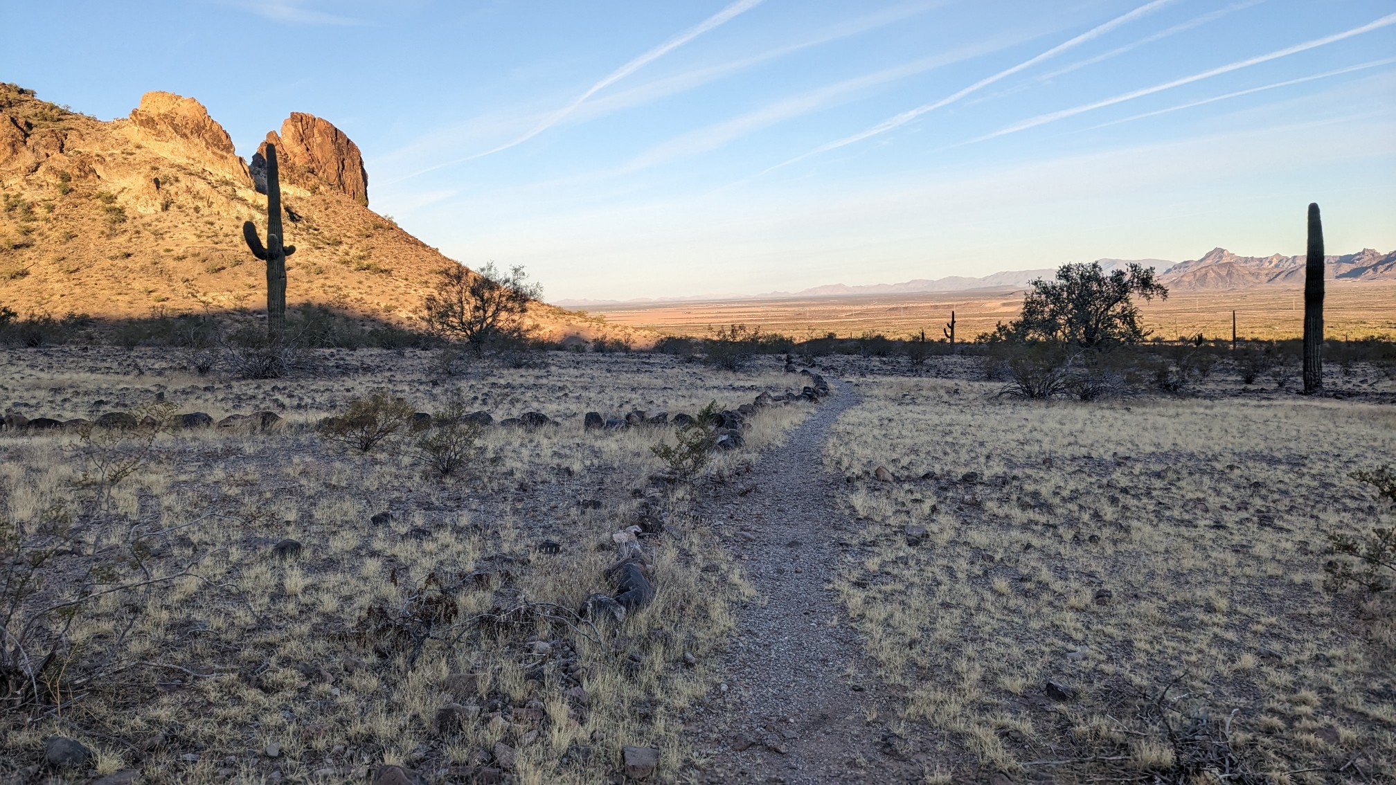
I took a break, and waited 30 minutes for TopShelf. Morning delays. A few miles later, we walked over our first and only paved road in this section.
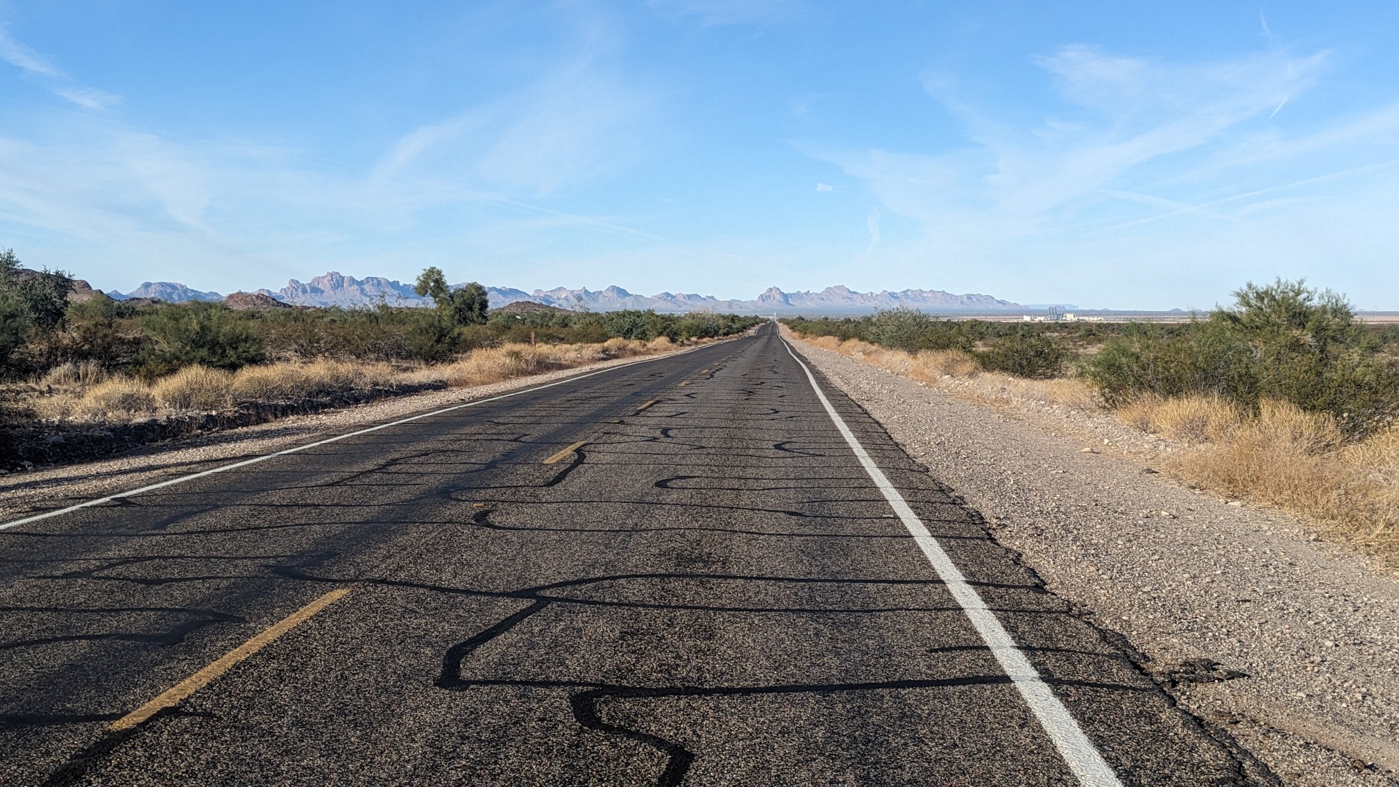
And shortly after, we crossed under I-10 our 2nd of three interstates on this route.
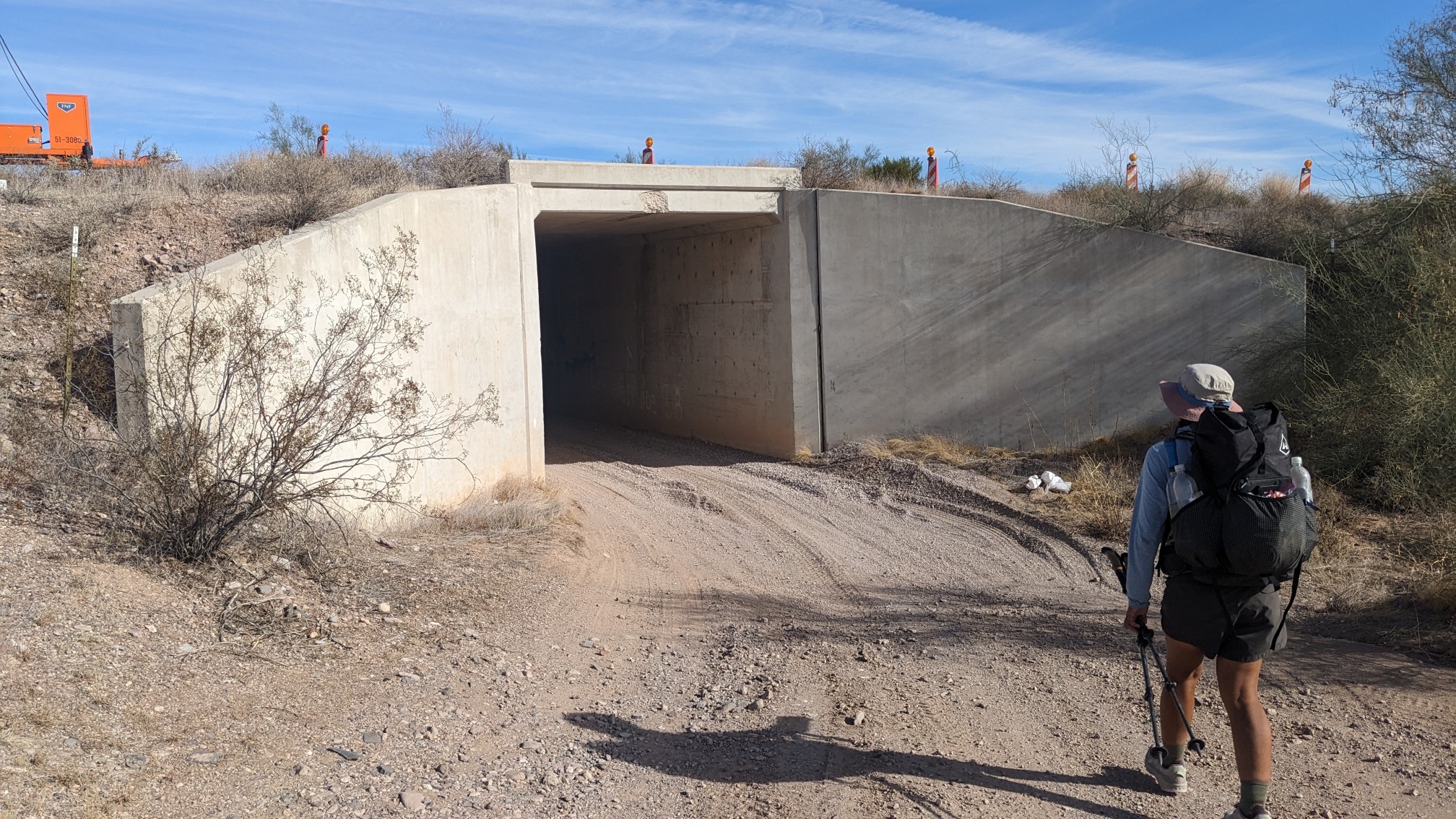
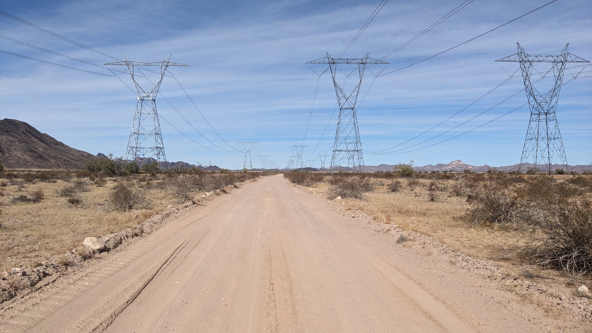
For a couple of hours, we followed a set of high-voltage powerlines. It was neat to see they had just finished building a 3rd set of lines, a project that was promoted as part of the Inflation Reduction Act of 2021.
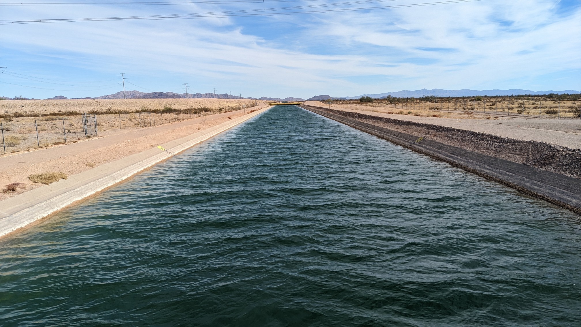
We crossed a canal, which was the main canal for the Central Arizona Project (CAP).
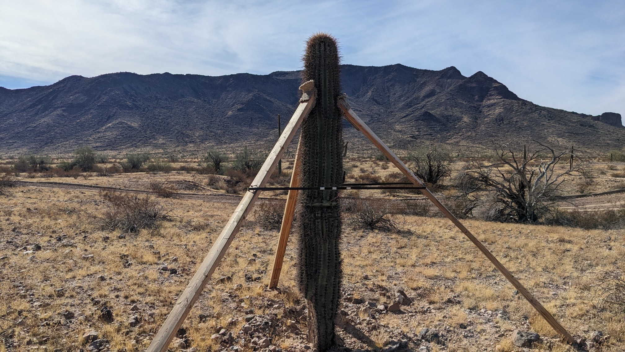
The construction project had built a bunch of supports for the Saguaros, presumably to protect them, but it looked pretty funny.
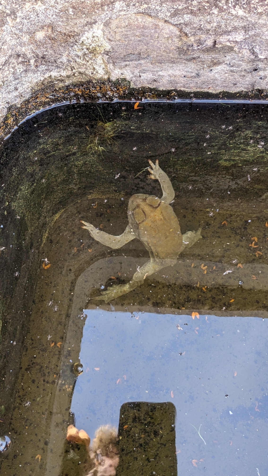
We stopped at a guzzler, which had good water in the troughs, though it also had this creepy looking dead frog.
Just after getting water, we entered the Big Horn Wilderness area.
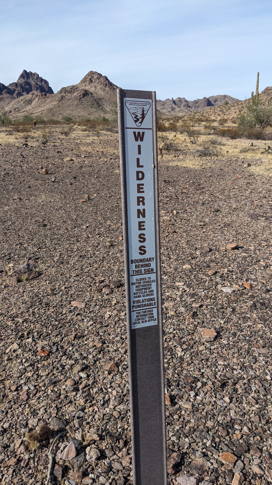
As usual, we entered the wilderness on an old disused dirt road…
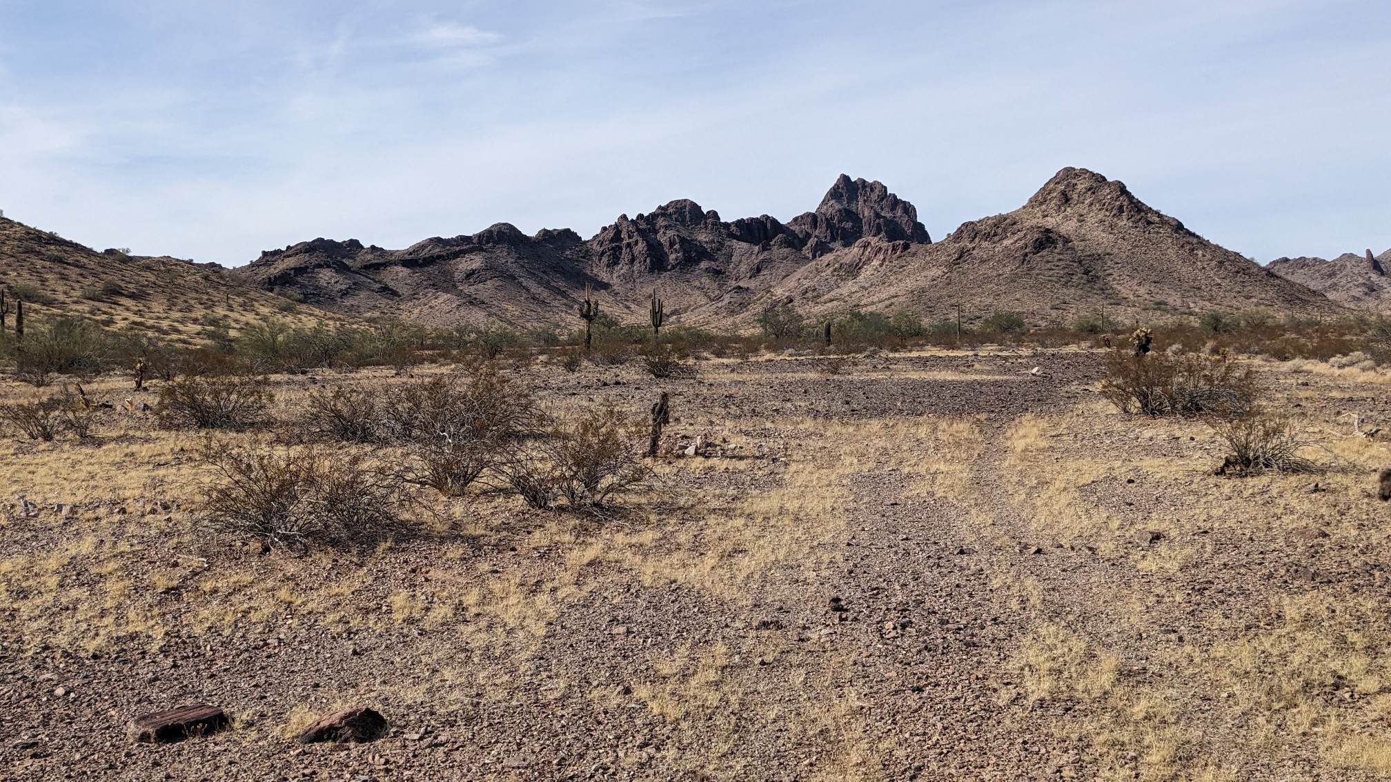
…and then hiked up a wash.
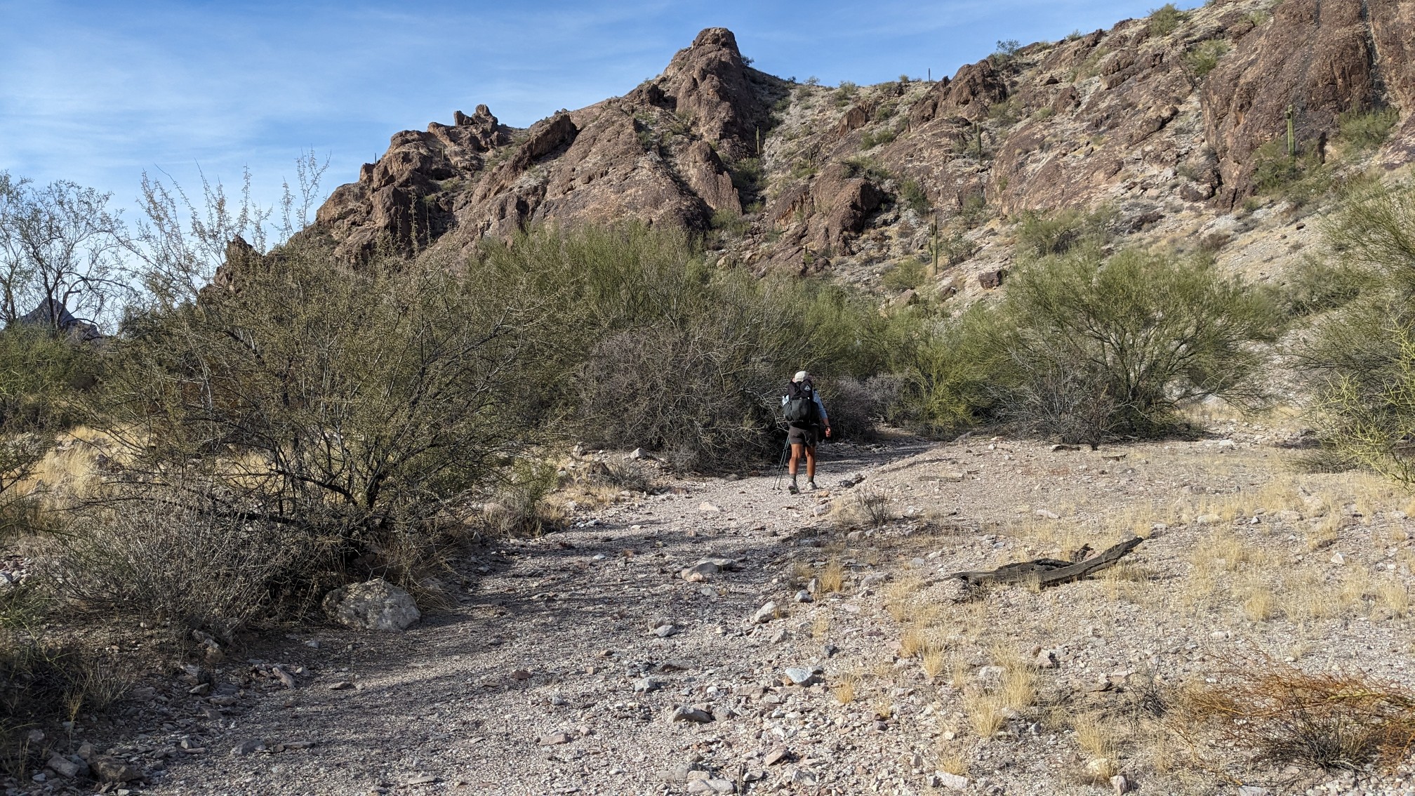
We spent the rest of the afternoon hiking up and down various washes, which was entertaining but also slow. The view of all the nearby mountains was cool.
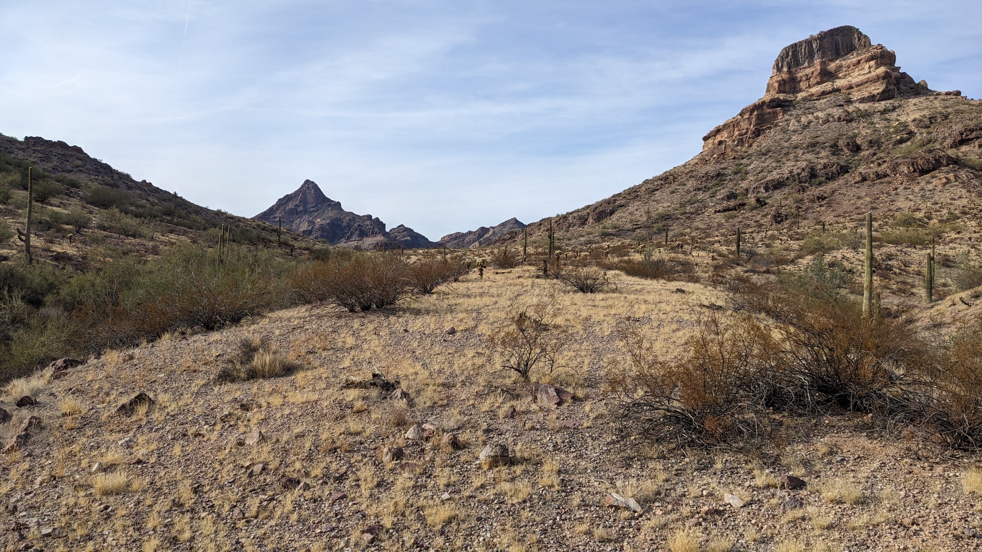
At one point, we hiked xc over a tiny pass, and it was a nice surprise to discover a game trail to follow.
We stopped for the day at 5:45pm, setting up camp next to a wash. The moon is full tonight!
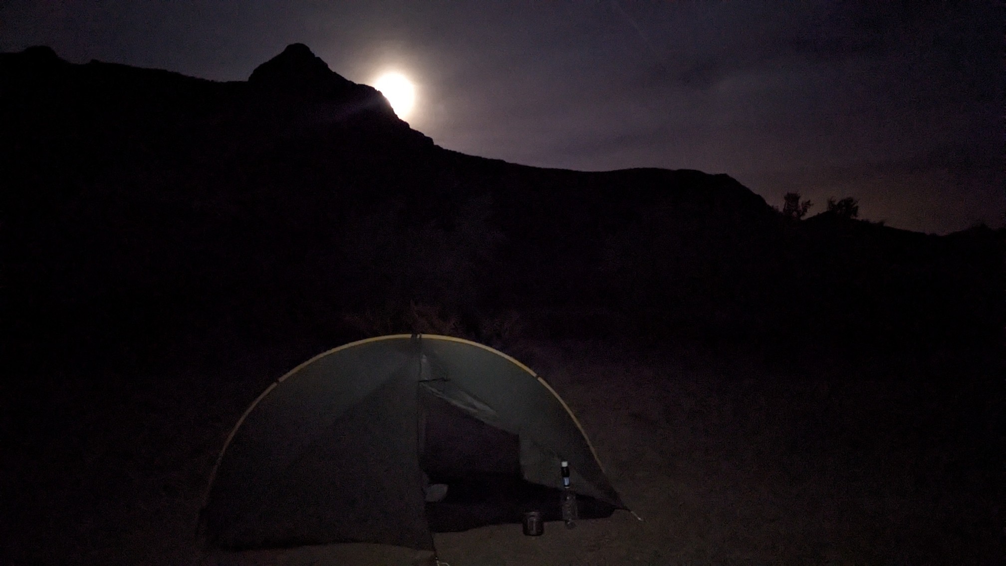
Zzzzz…