Wednesday December 6, 32.0km/19.9mi
Whipple Mountains Wilderness (456.1/1320ft) to West side of Whipple Mountain (476.0/1920ft) (CA)
We started the day at 5:45am, which is when it’s just getting light here. The easy roadwalk continued for another hour, which was a nice warmup to the day.
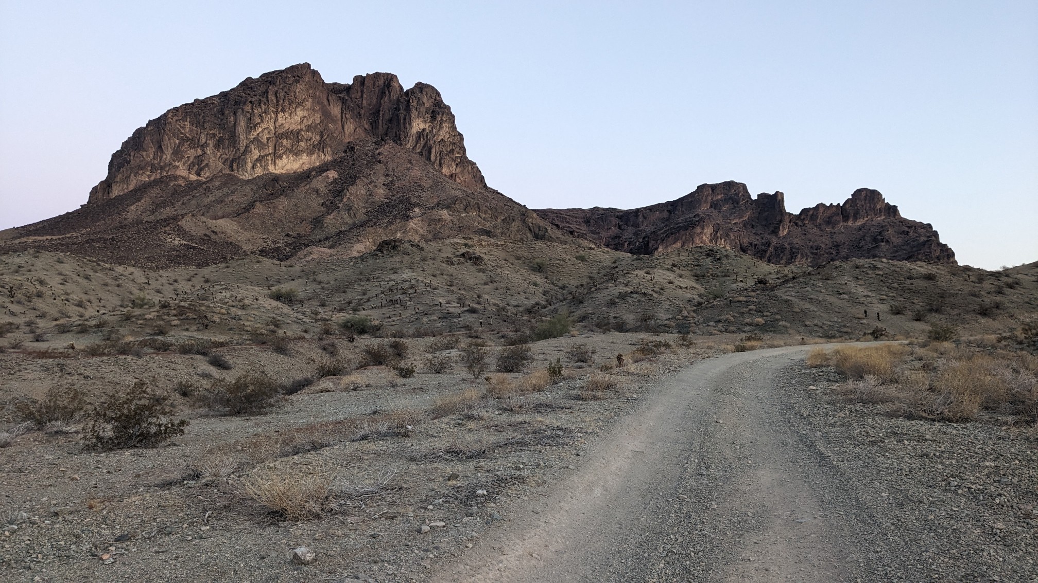
By 6:30, the sun made its appearance into this valley, and everything was washed in light.
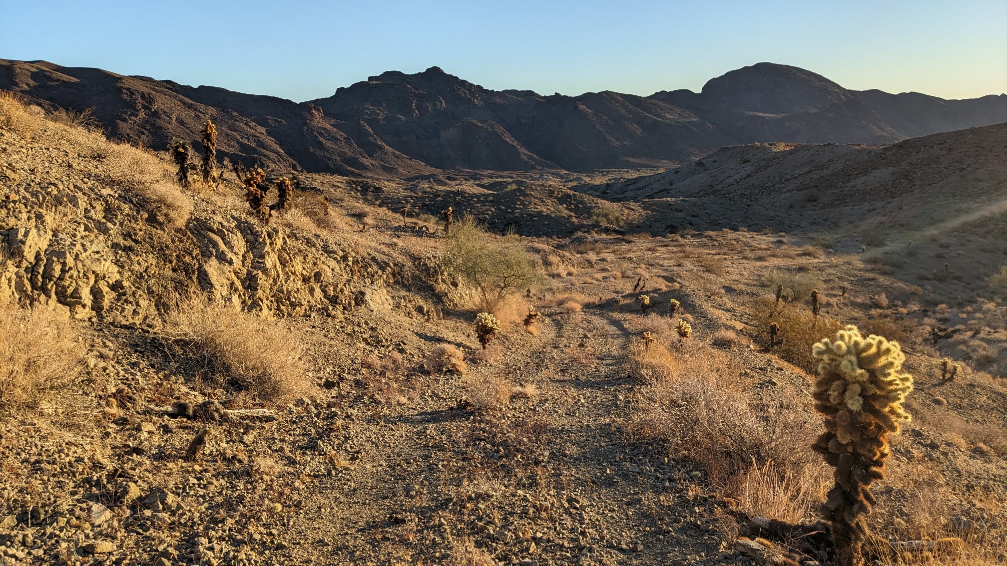
We turned a corner, and entered the massive Whipple Wash.
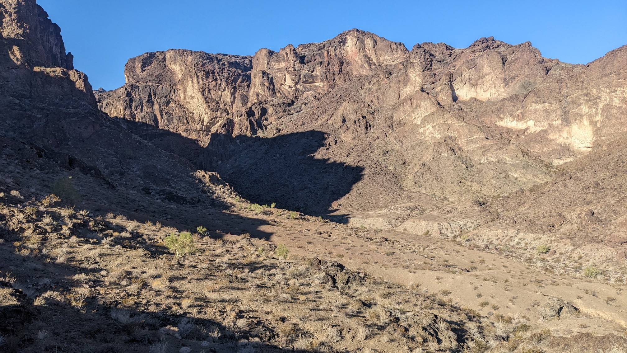
For most of the morning, we were surrounded by towering cliffs and we hiked completely in the shade. It was pretty warm today, so that was welcome.
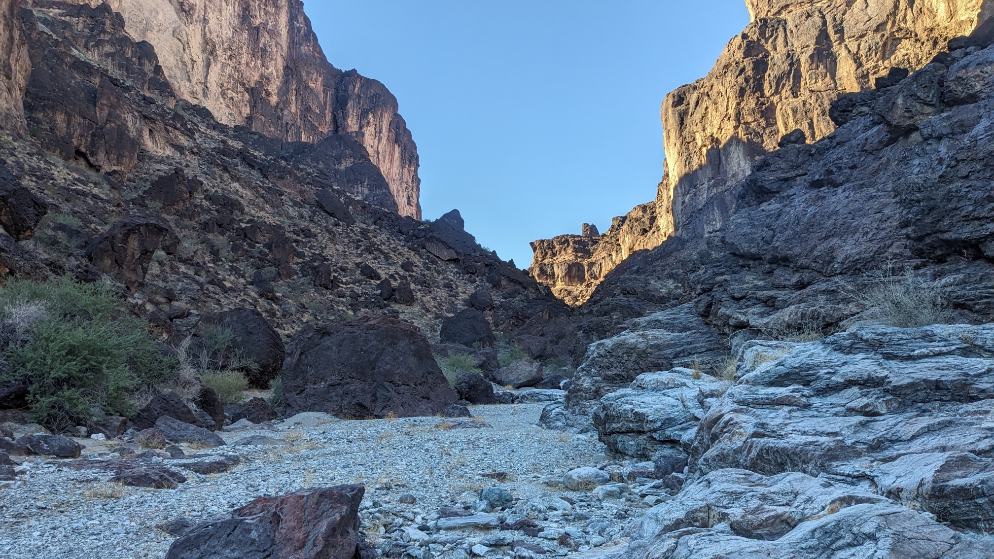
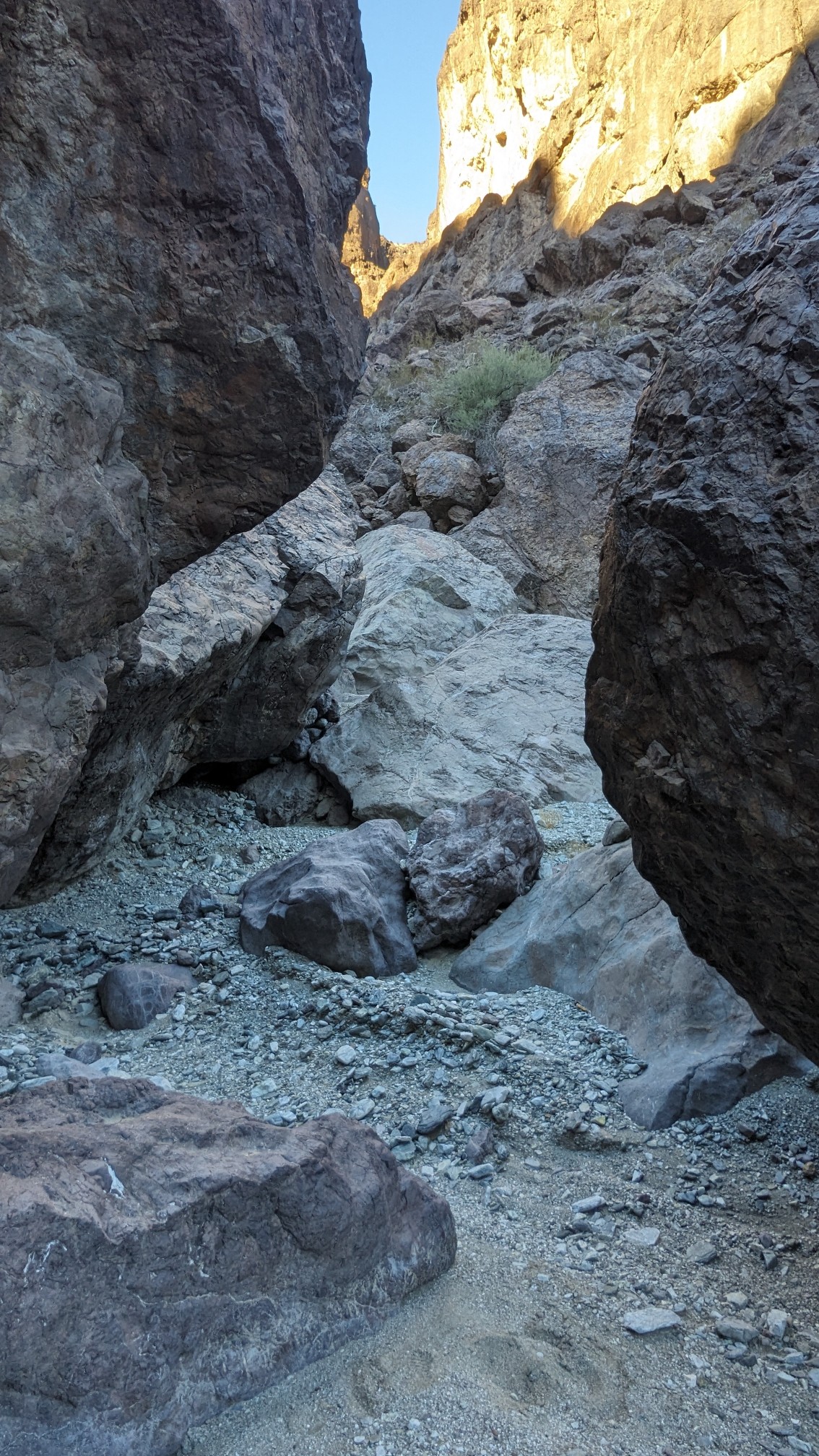
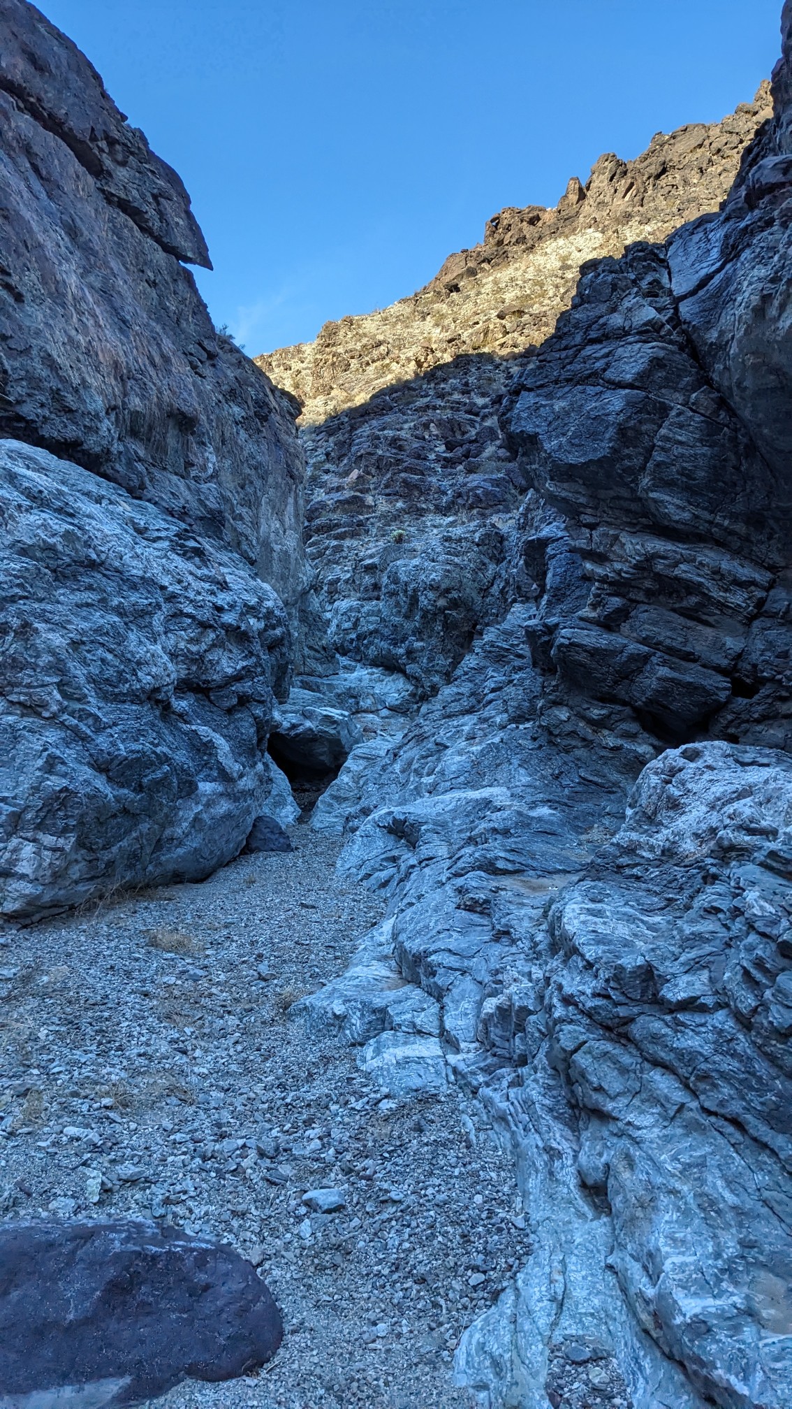
After an hour of hiking in the gravelly wash, it became narrow and rocky. Soon we were hiking between boulders and cliffs.
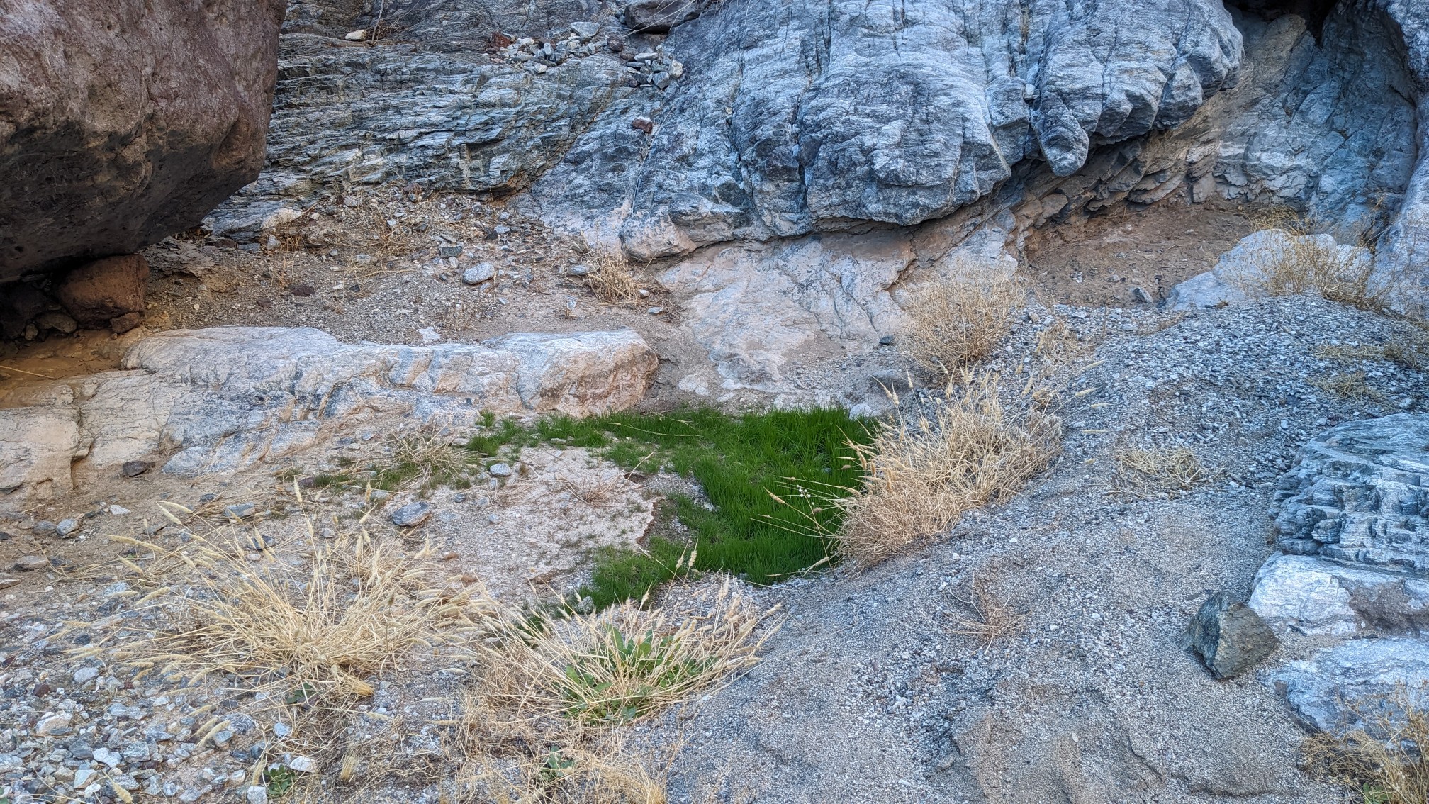
The whole time in the Whipple Wash canyon, we kept searching for water. We saw plenty of signs of subterranean water, such as this shockingly green grass.
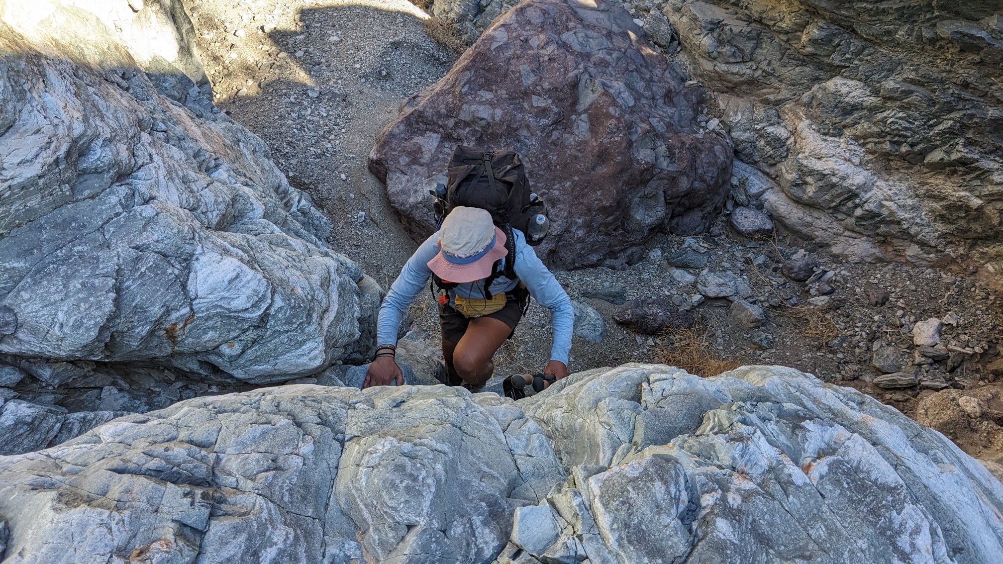
TopShelf coming up one of the scrambly bits.
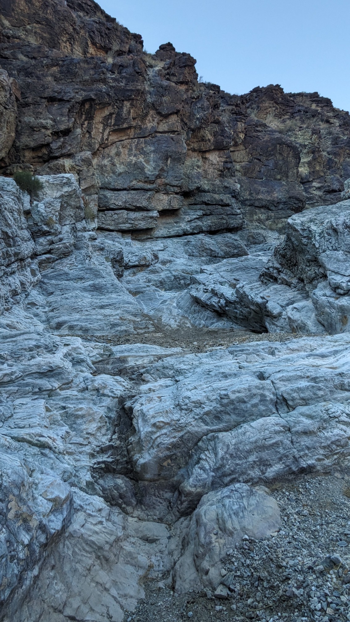
Several sections were narrow with rocky slabs, and we were hopeful to find water here…but there was none. The map marked several places as “possible seasonal water” but so far all of them were dry.
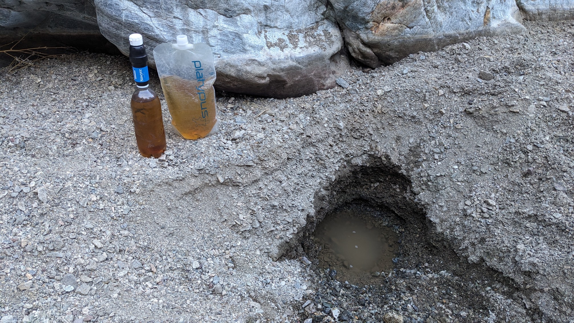
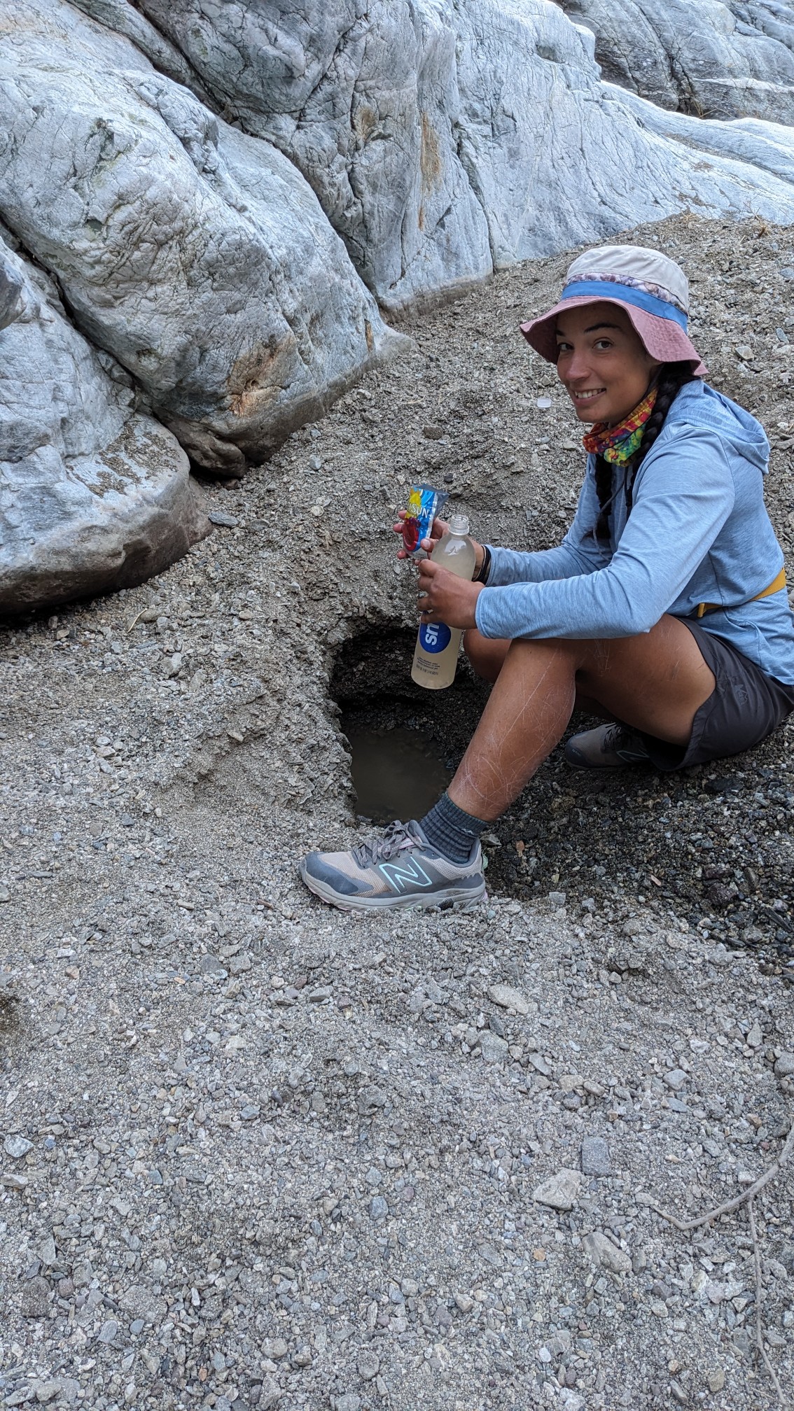
Eventually we found water, courtesy of the local burro population. They can smell water, and will dig holes to find it. We came upon a freshly dug hole, and filled all our water bottles, as it’s almost 30 miles to the next water source!
We continued up the narrow canyon, which was entertaining and enjoyable.
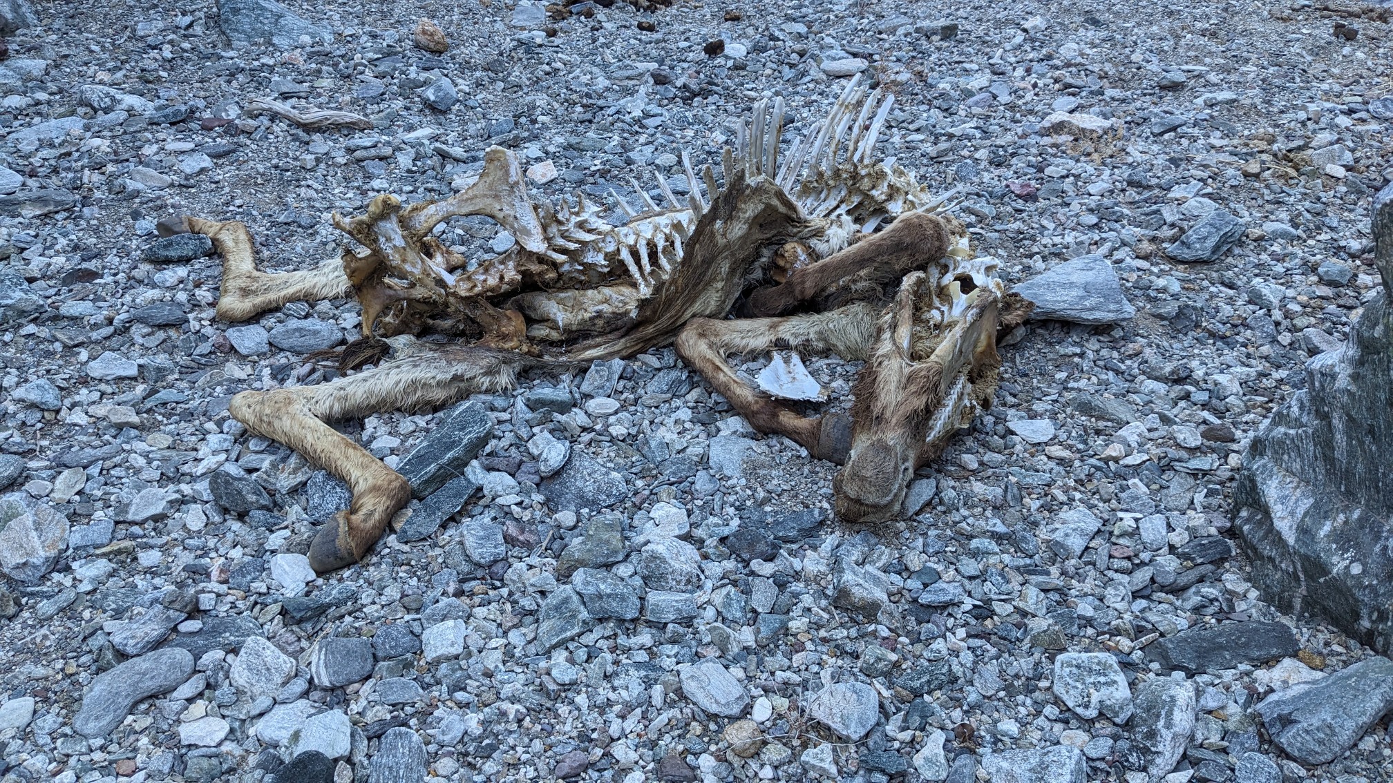
A surprise skeleton awaited us around a corner. I’m pretty sure it used to be a burro.
We had lunch in a shaded spot in the gravelly wash, and then started our long climb up to the summit of Whipple Mountain. It was steep at first, but soon we gained a ridgeline and had some more gradual climbing, and some views.
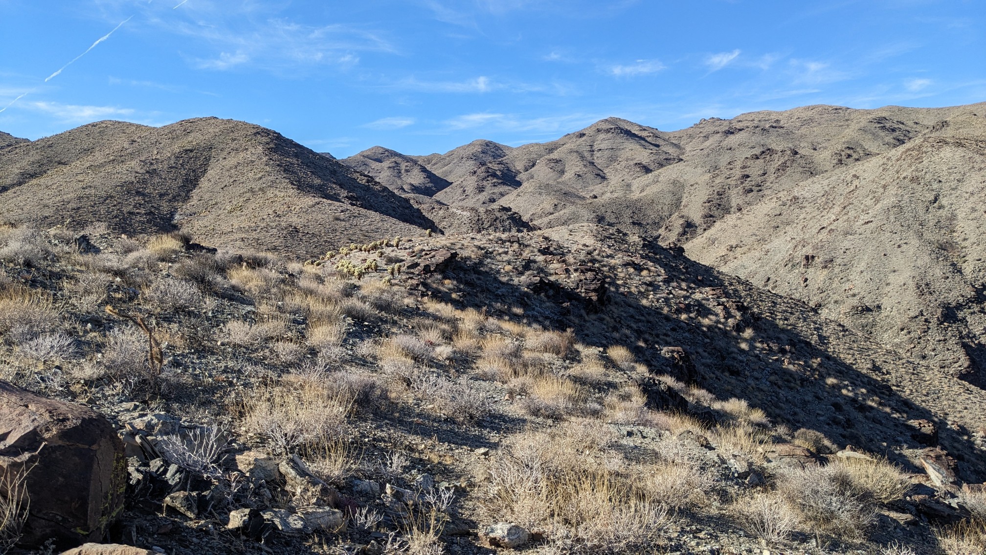
Looking back down into the canyon that we had hiked in all morning.
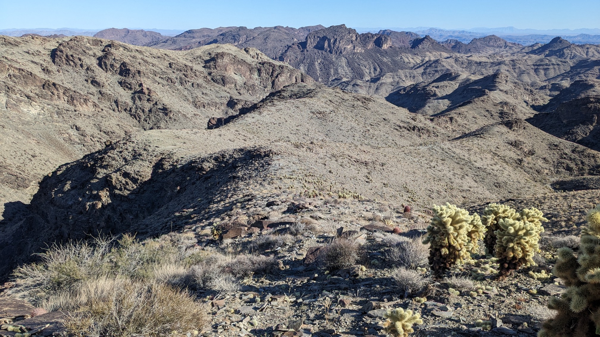
After a couple of hours hiking on the ridge, we neared the summit. The final push to the top, with great views!
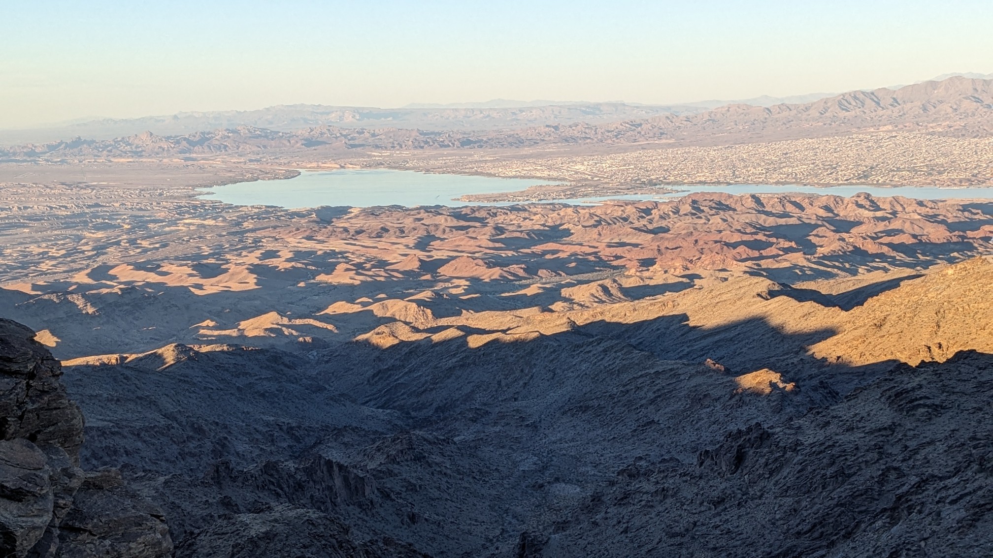
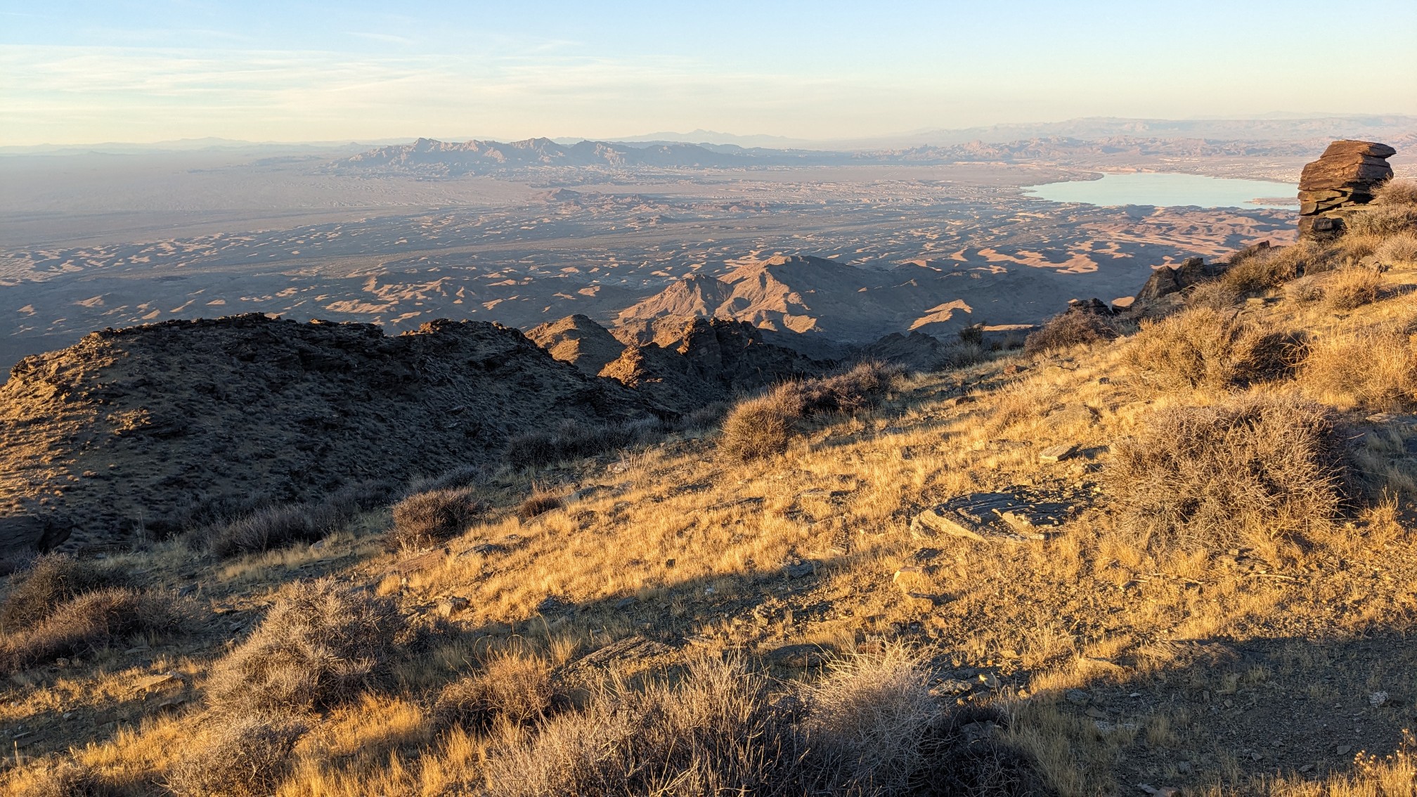
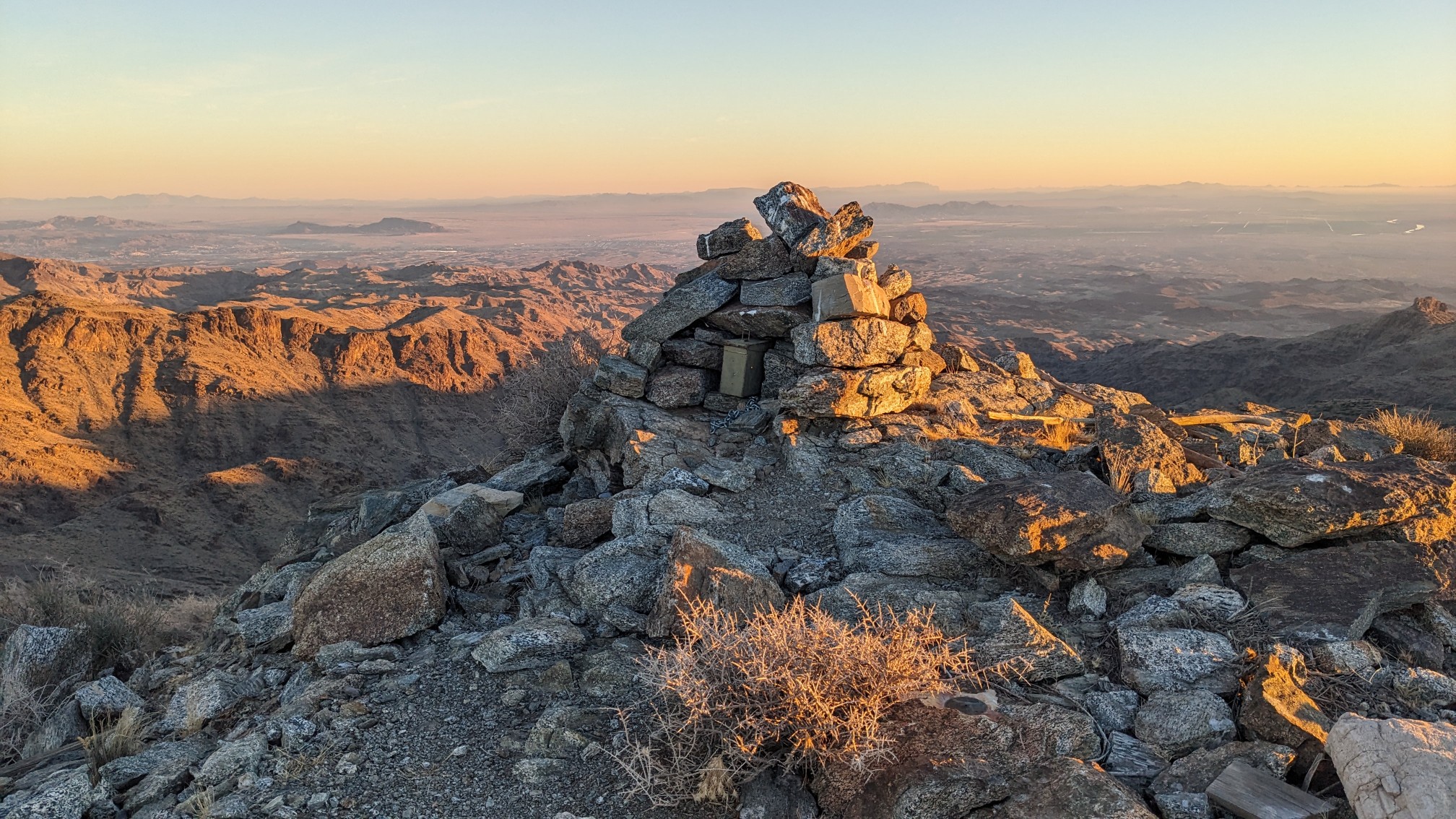
I’m pretty sure that’s Lake Havasu below us. We arrived at the summit just 30 minutes before sunset, so we didn’t linger long at all. There was a summit benchmark, and more views!
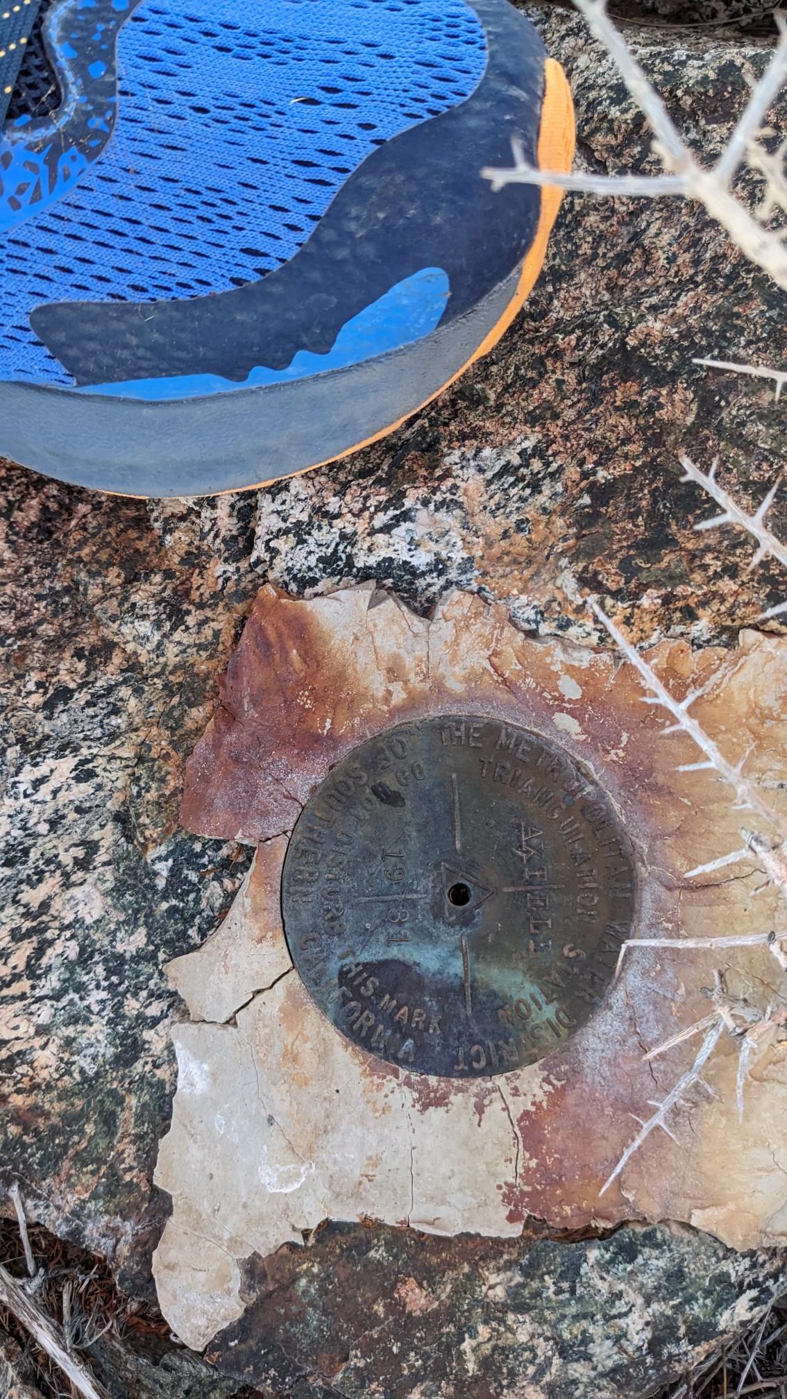
And of course a summit cairn.
We hiked along the ridgeline for another 20 minutes…
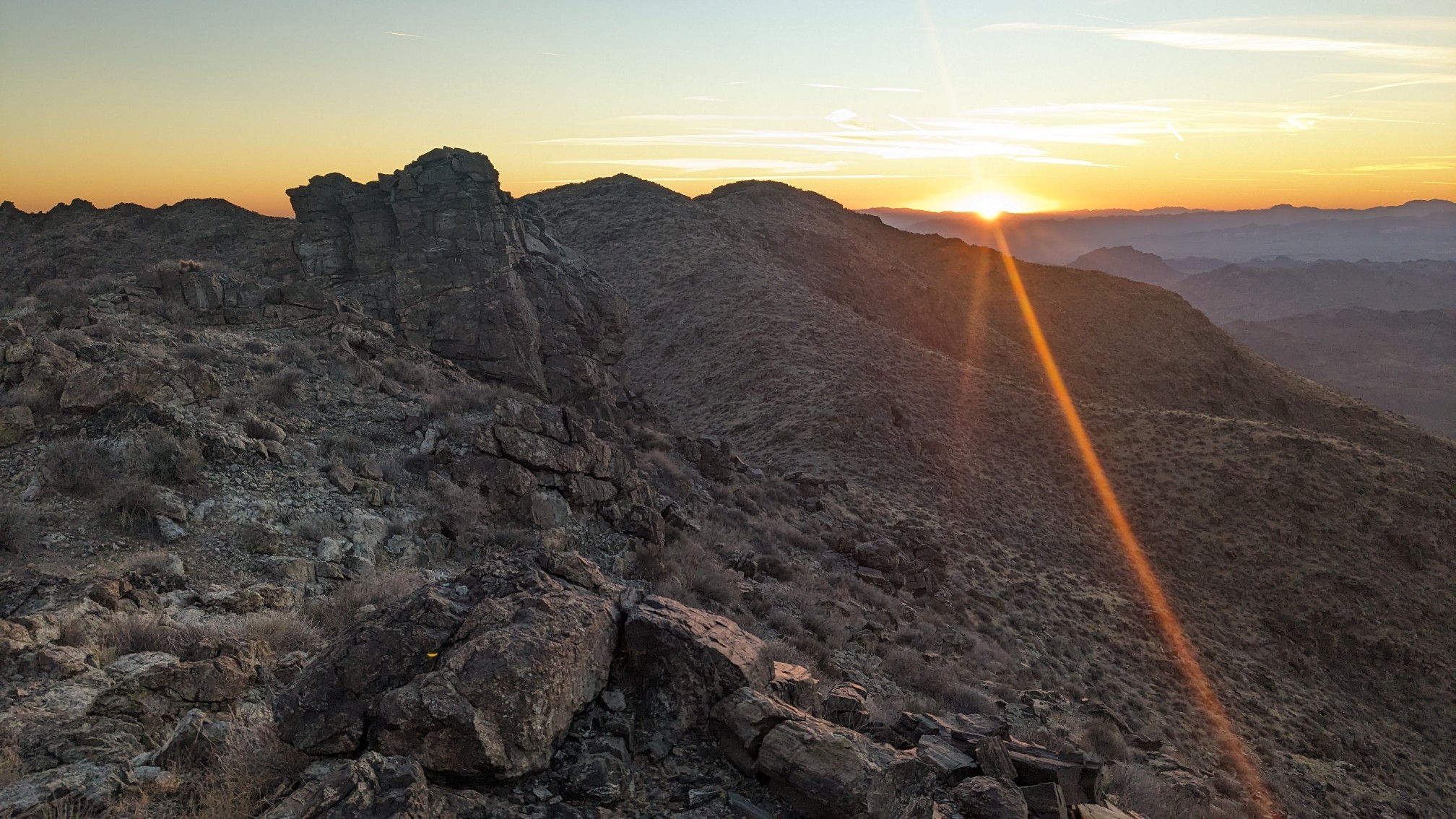
…and then started dropping steeply off the west side.
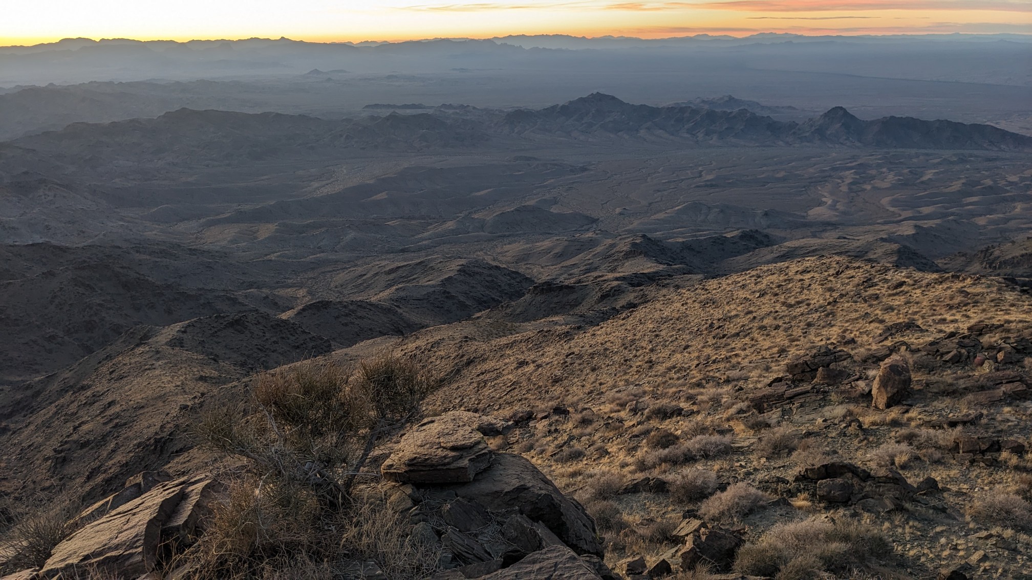
We spent the last hour of the day descending a rocky ridgeline in the dark. My headlamp is pretty bright, but it would have been helpful to see more than 100ft/30m ahead of me, to more efficiently navigate. Eventually, we were at the bottom of the peak, and back in a wash. We hiked a few minutes further, looking for a flat spot to camp, and found one in the wash. We setup camp at 6pm and by 7:30 I had eaten, cleaned up, and fallen asleep!